






From mountaineering village to mountaineering village
Stopnja težavnosti: 3

For this route, an e-mountain bike is recommended, and depending on riding style and battery capacity, carrying the charger advised. Charging options are available at the Kaiserhaus, at the village house...
For this route, an e-mountain bike is recommended, and depending on riding style and battery capacity, carrying the charger advised. Charging options are available at the Kaiserhaus, at the village house in the mountaineering village Steinberg am Rofan, and again in the mountaineering village Kreuth. Observe opening times! The route can also be ridden counterclockwise.

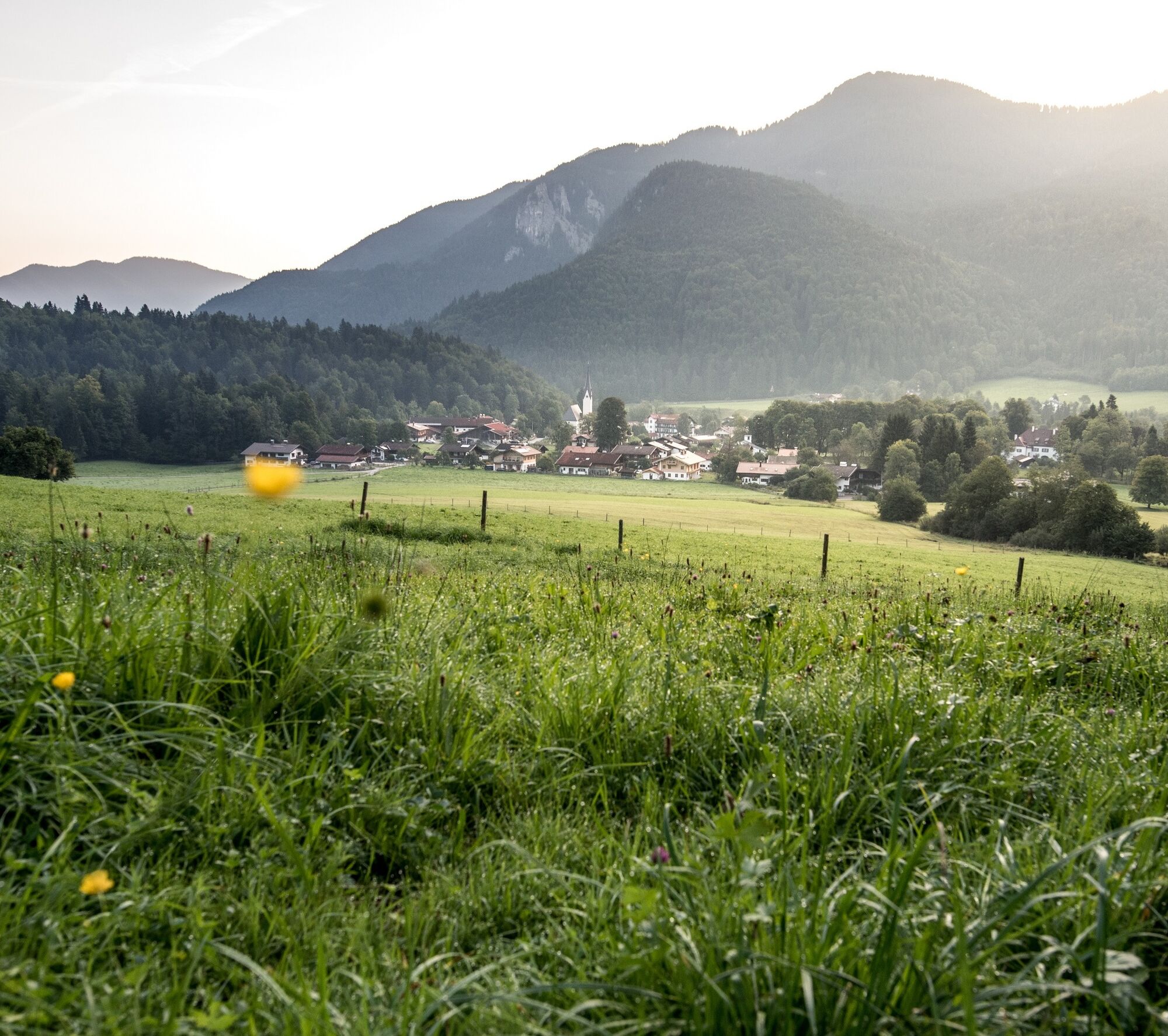
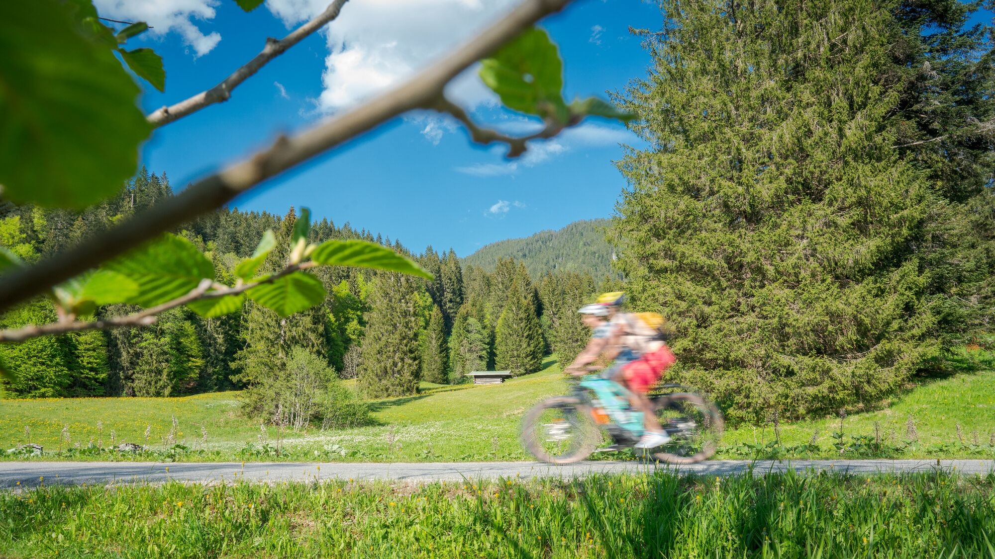
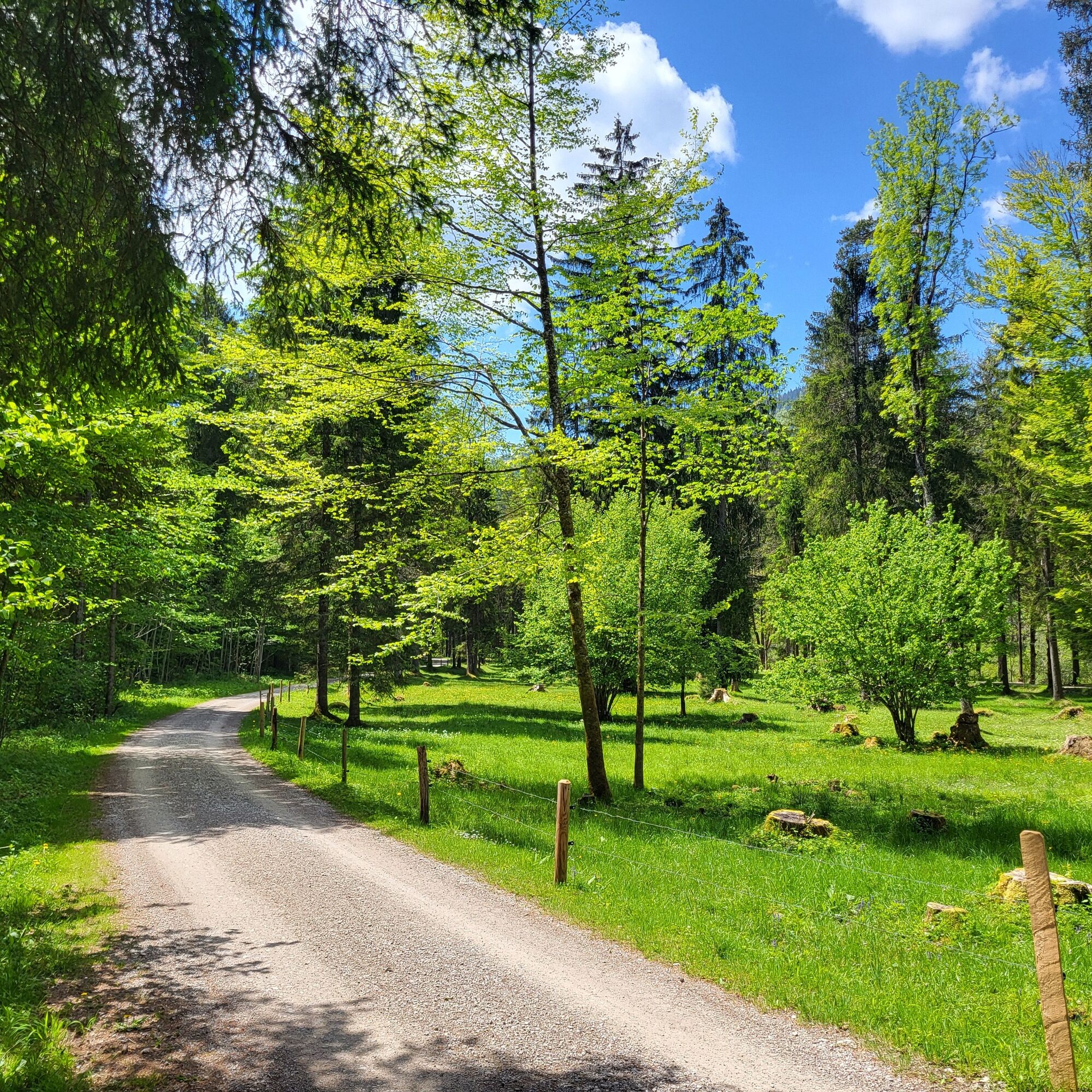
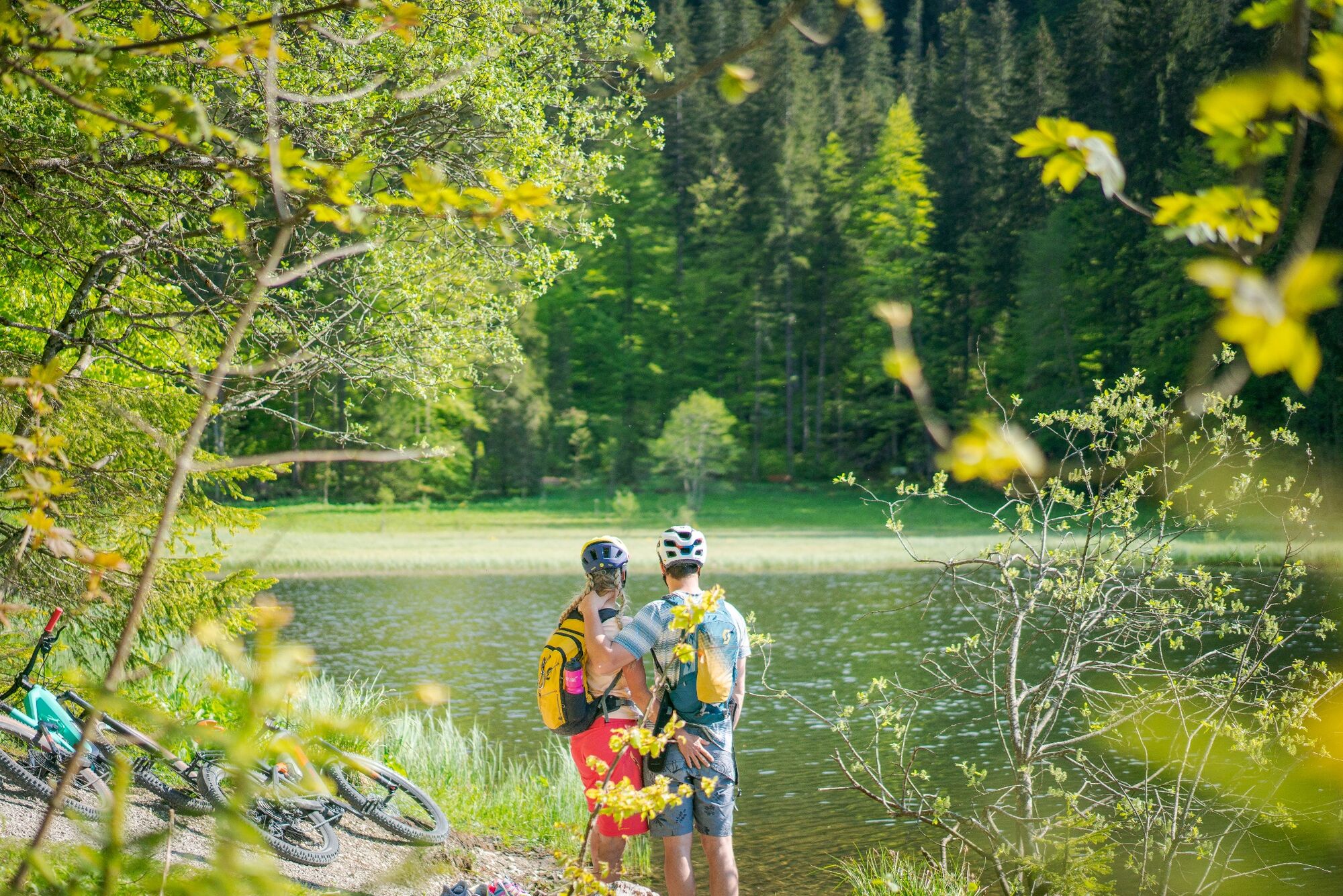
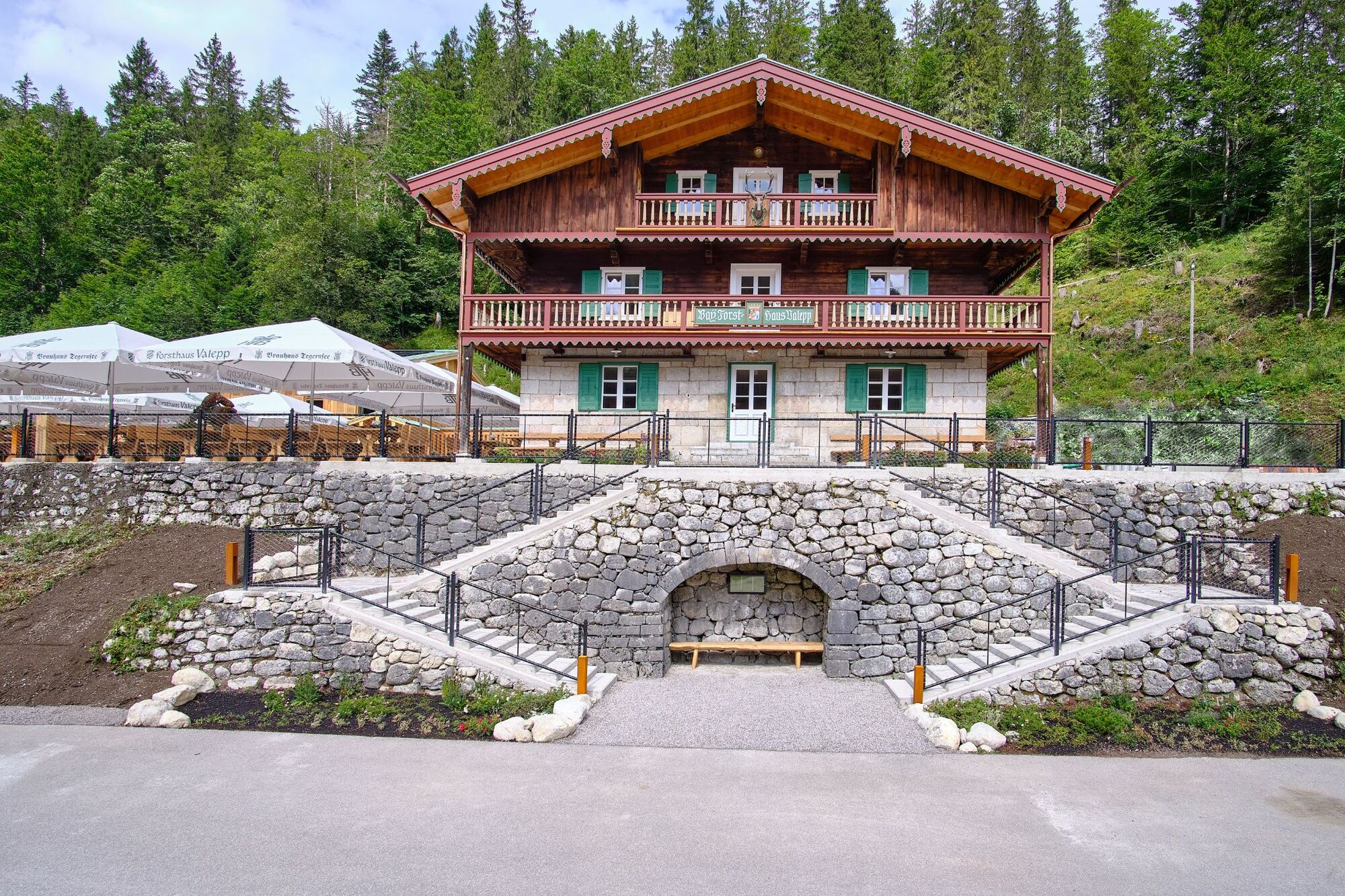
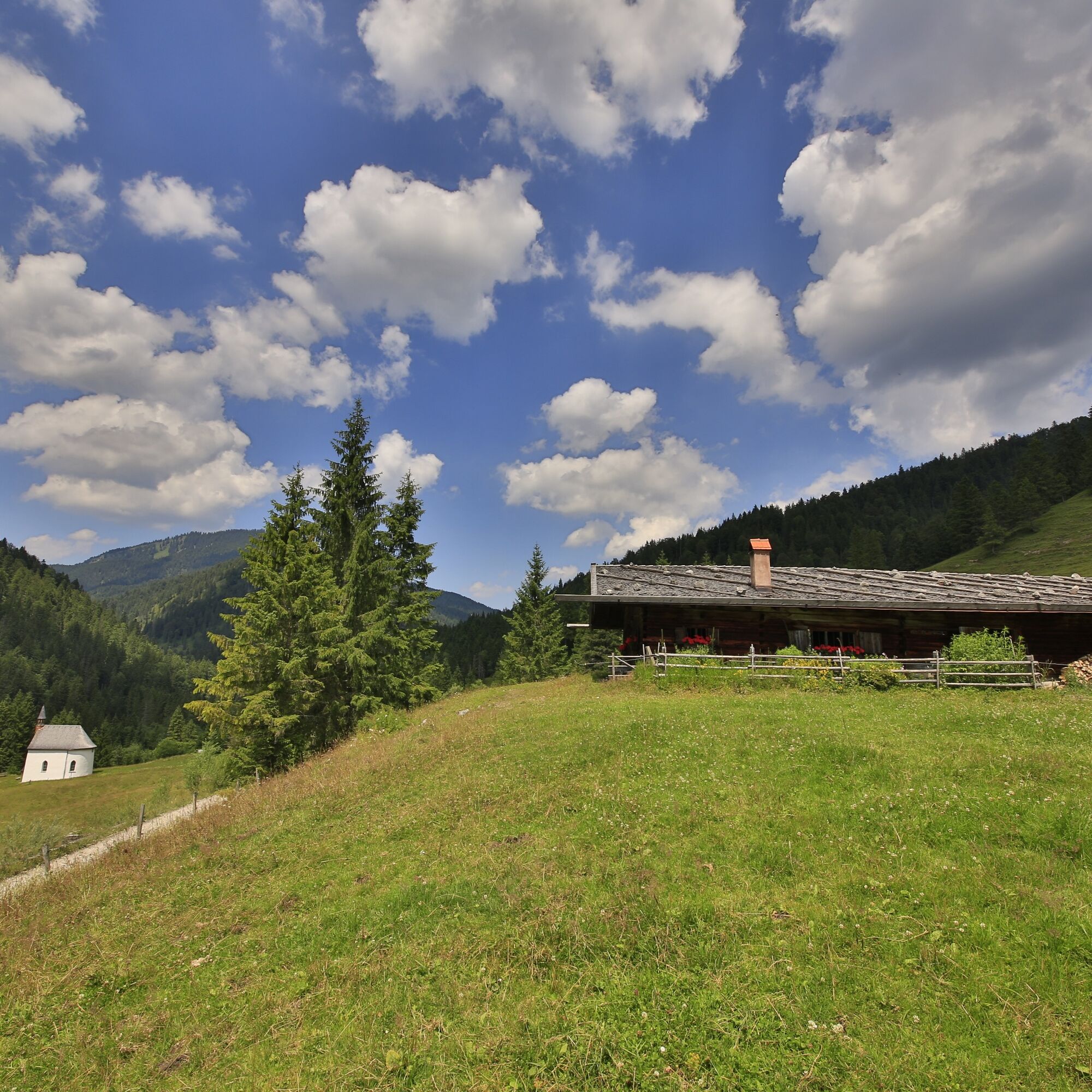
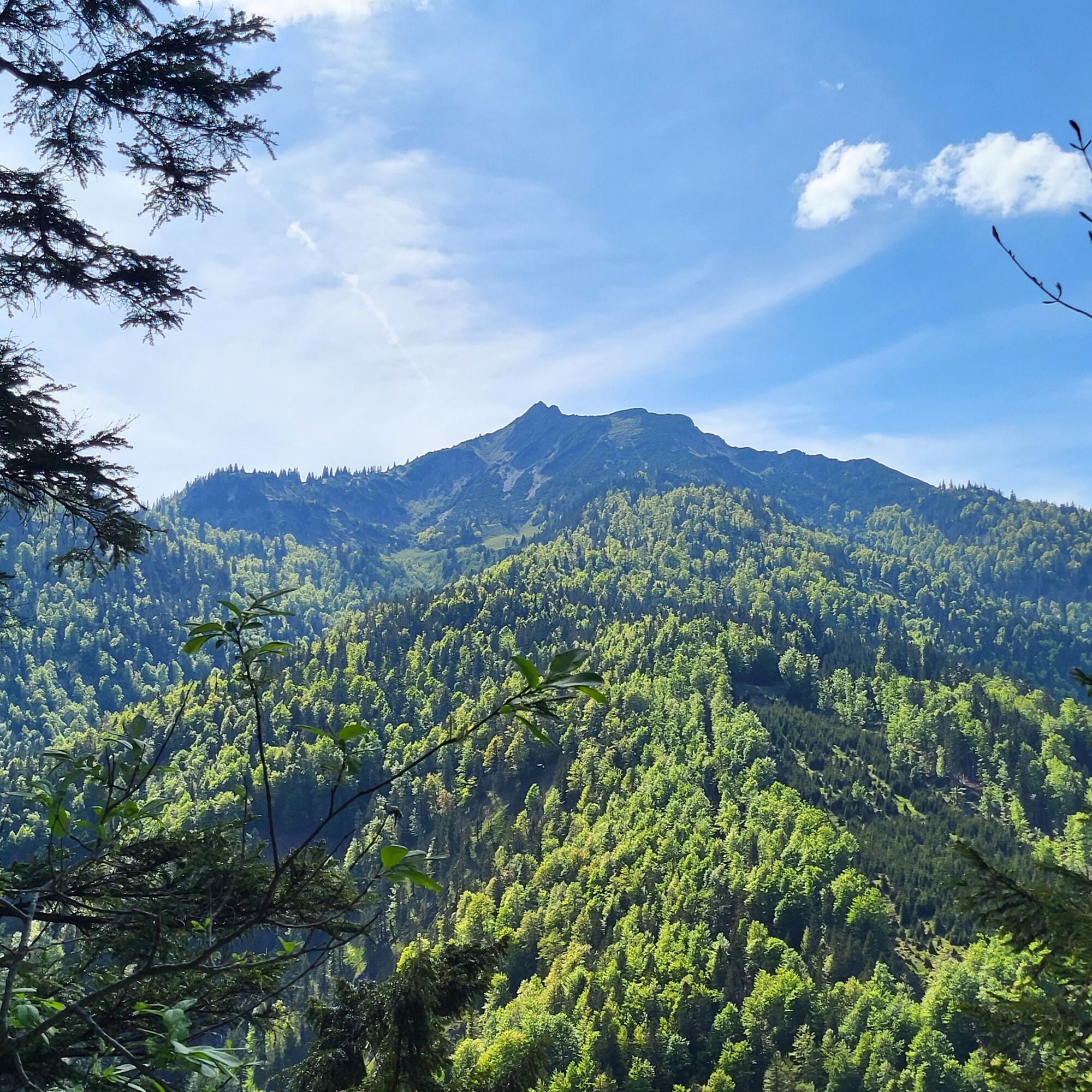
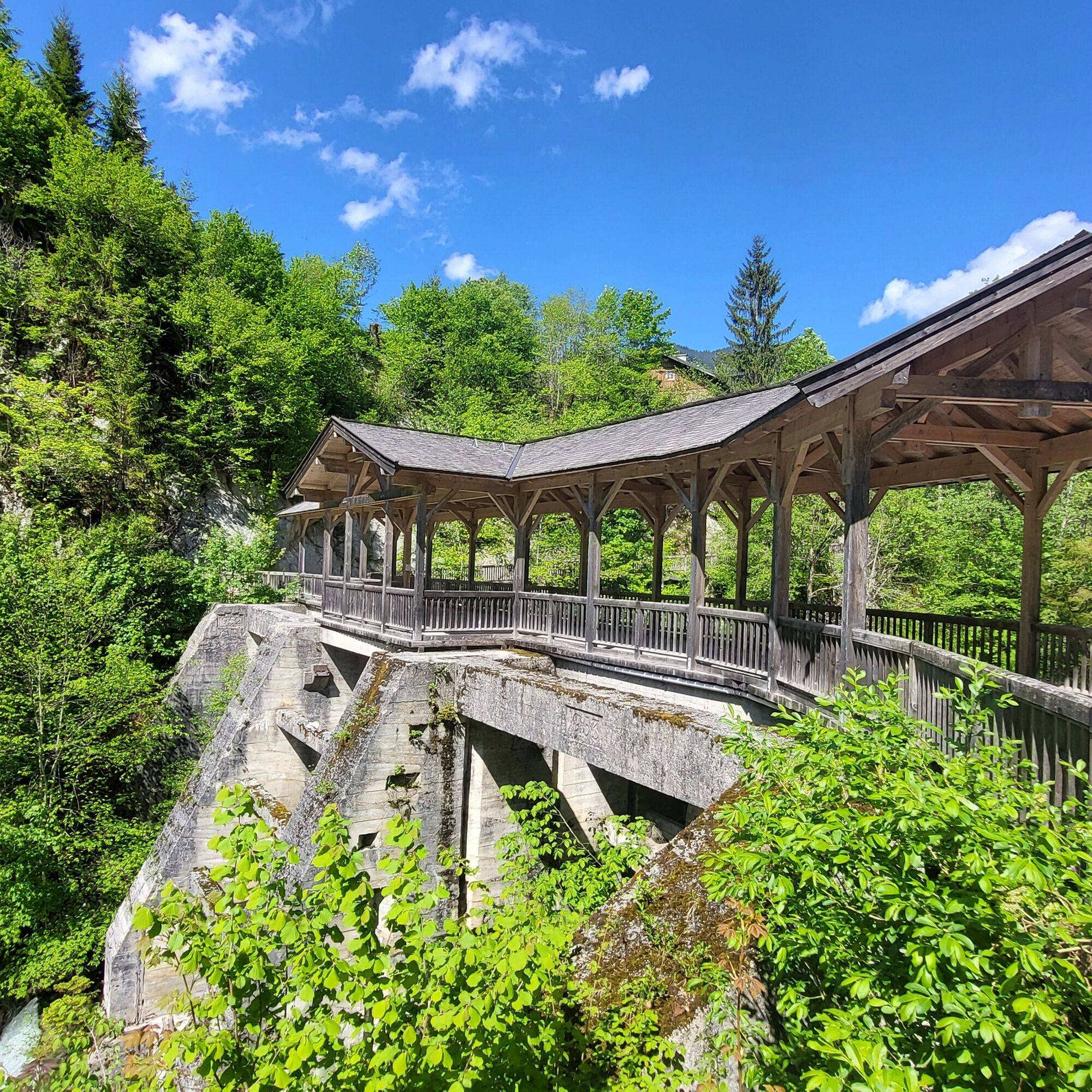
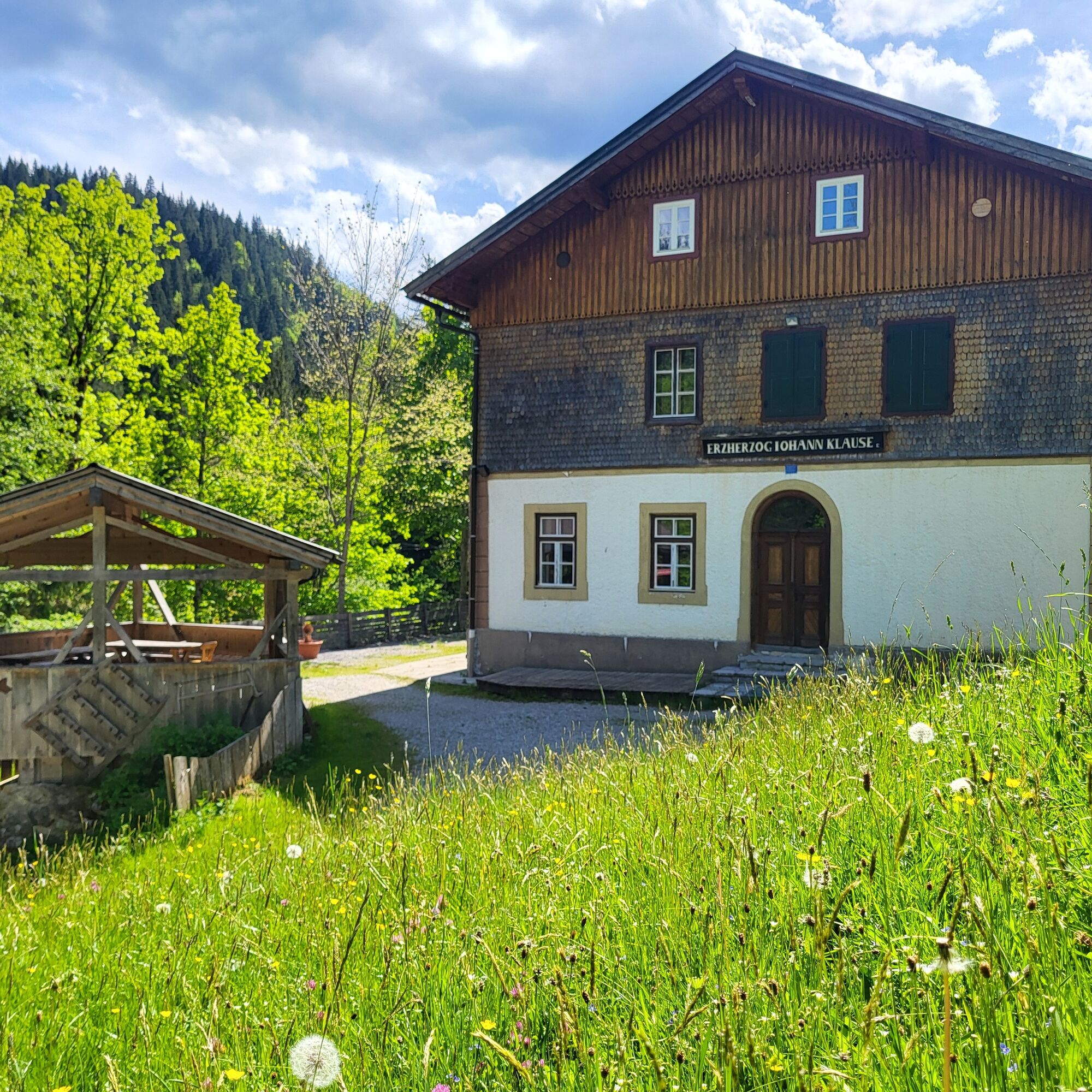
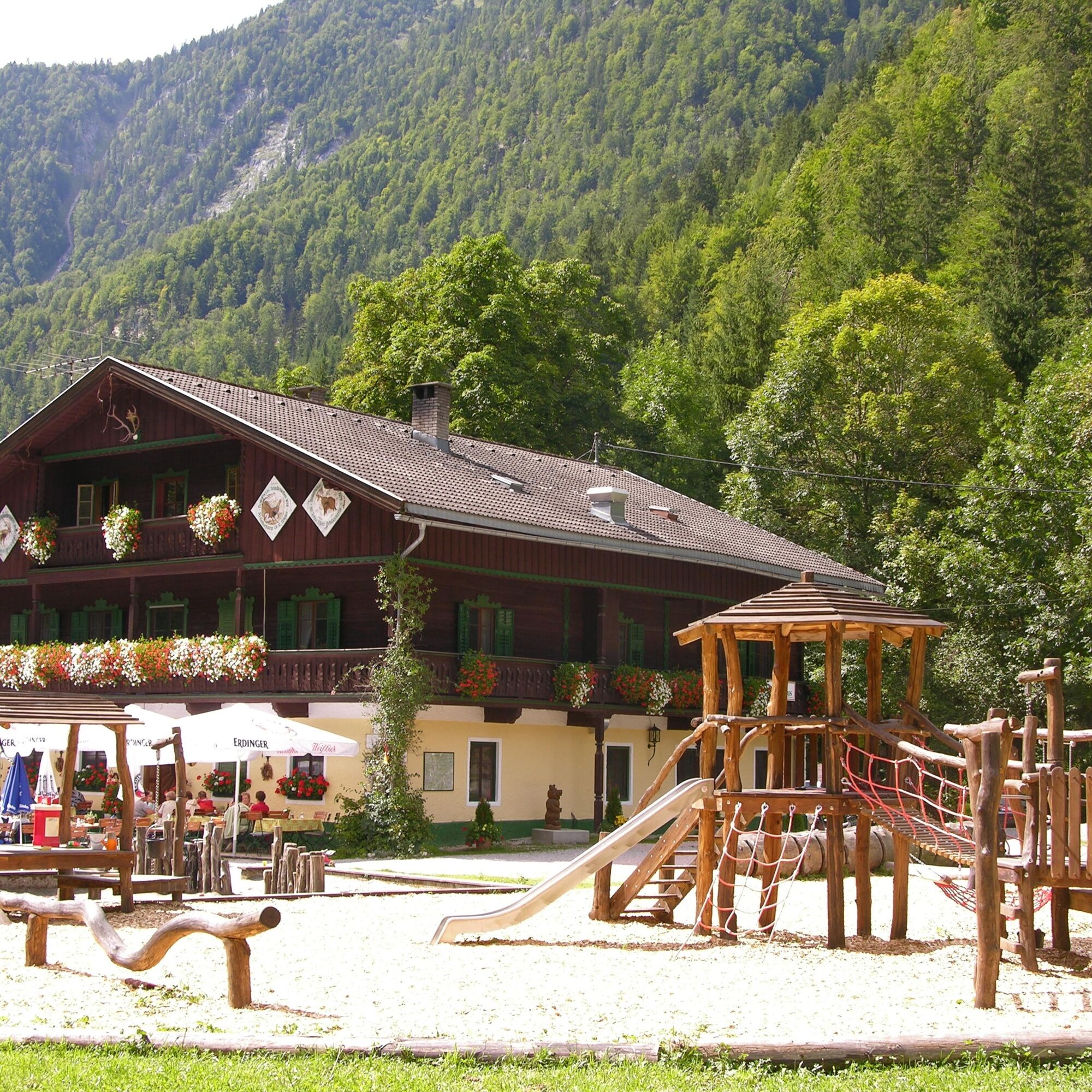
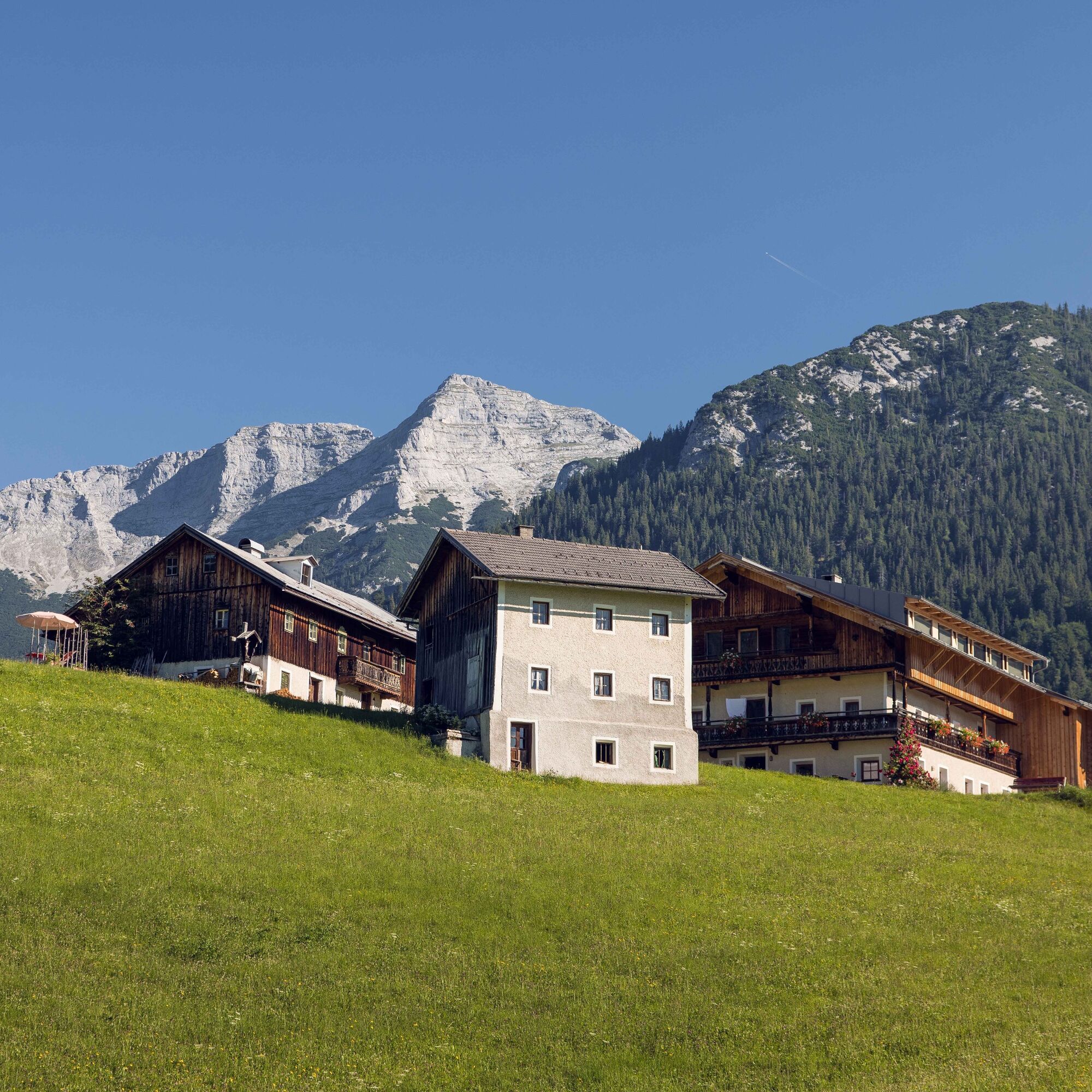
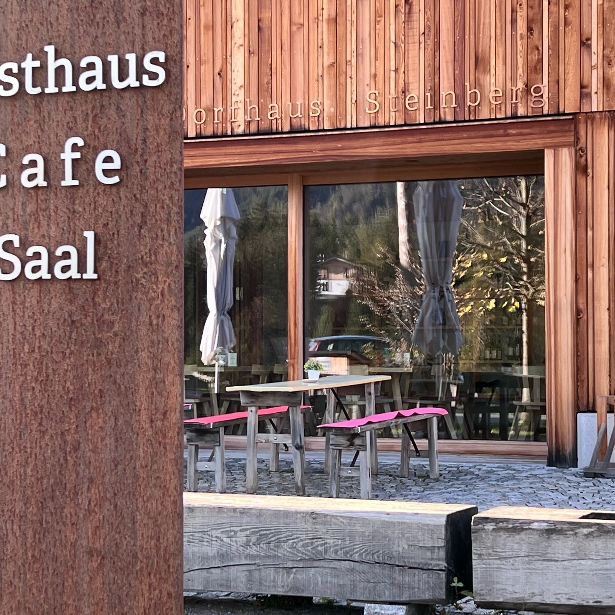
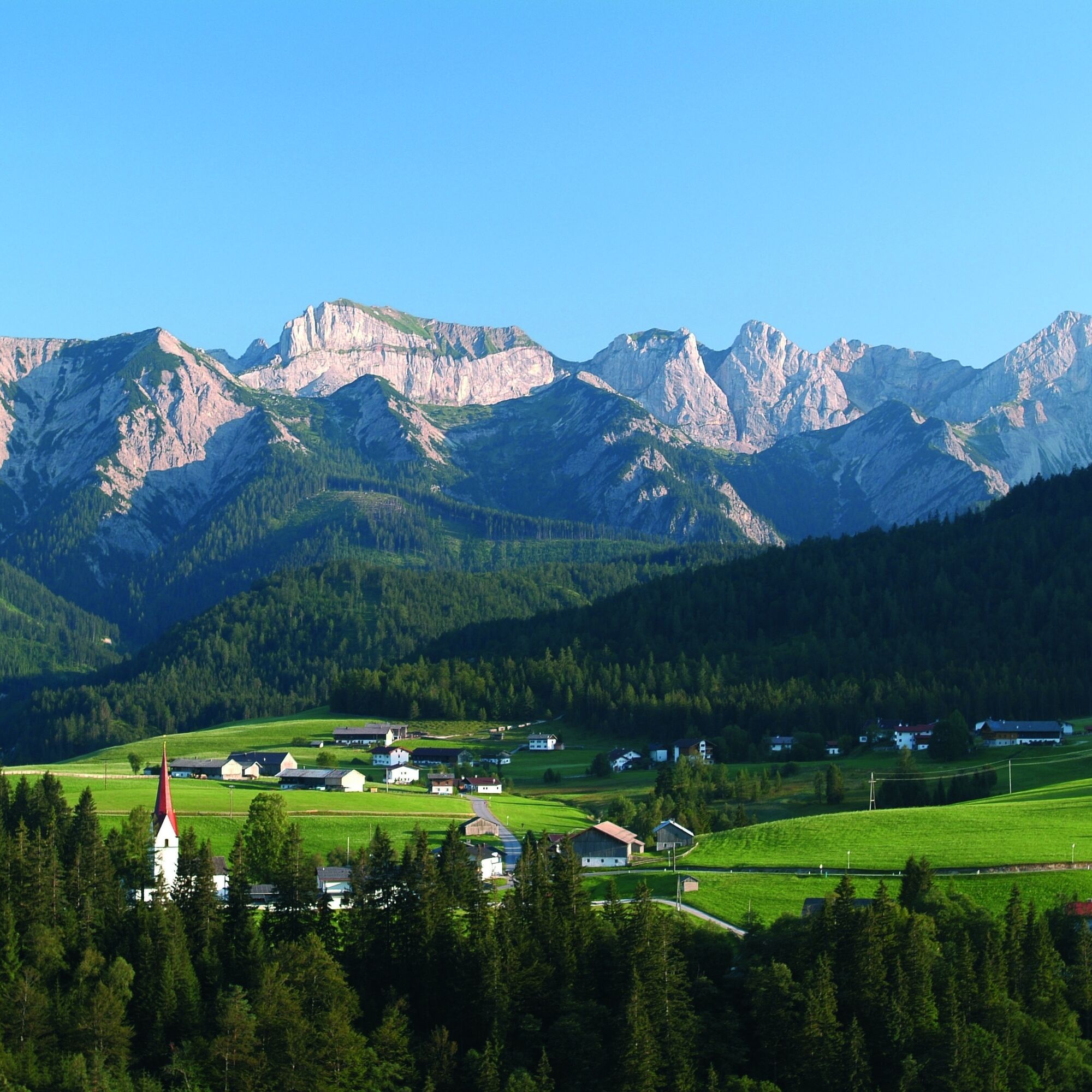
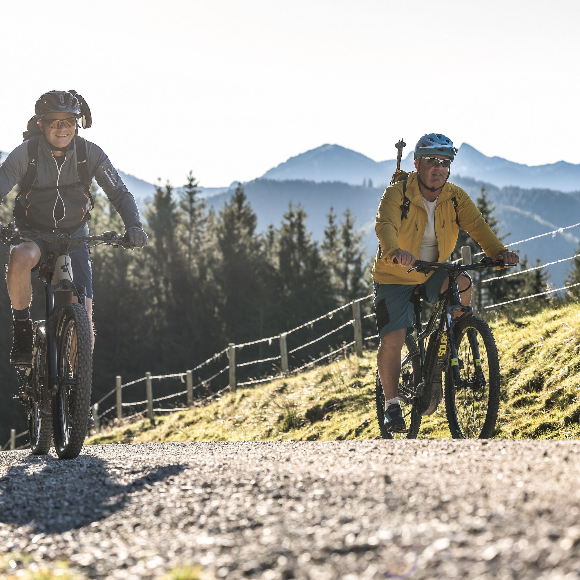
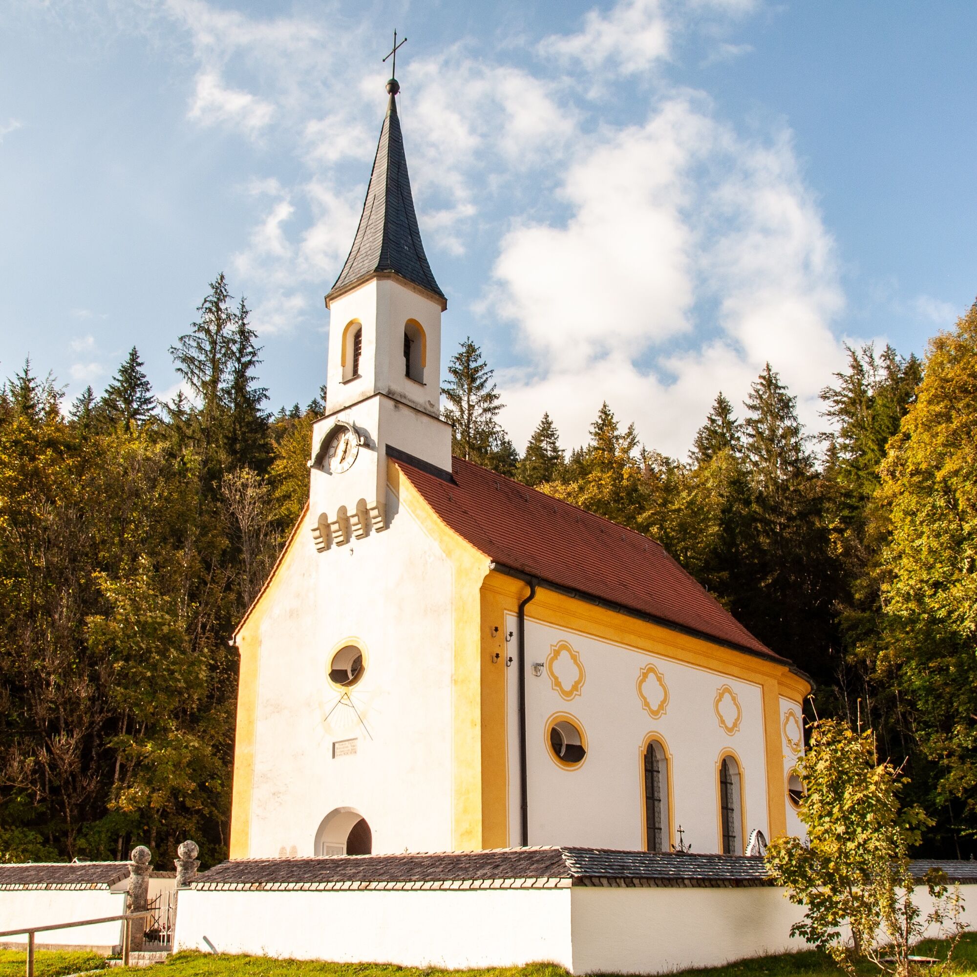
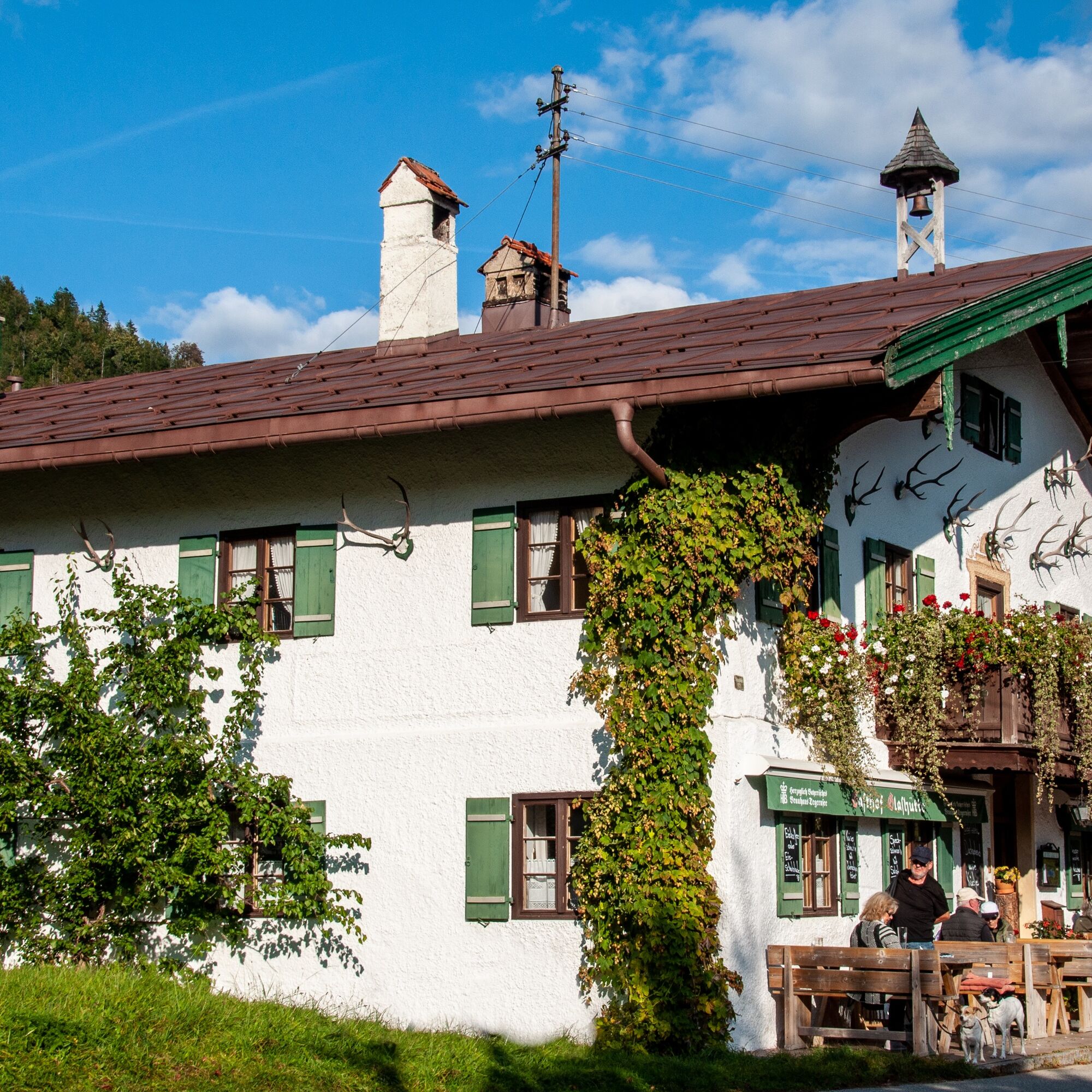
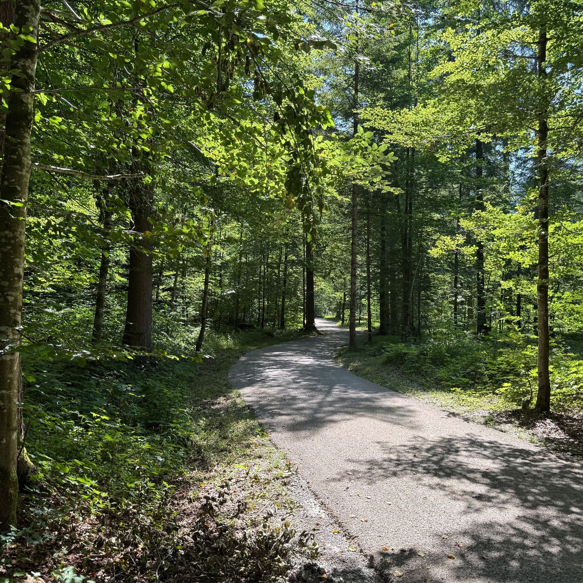
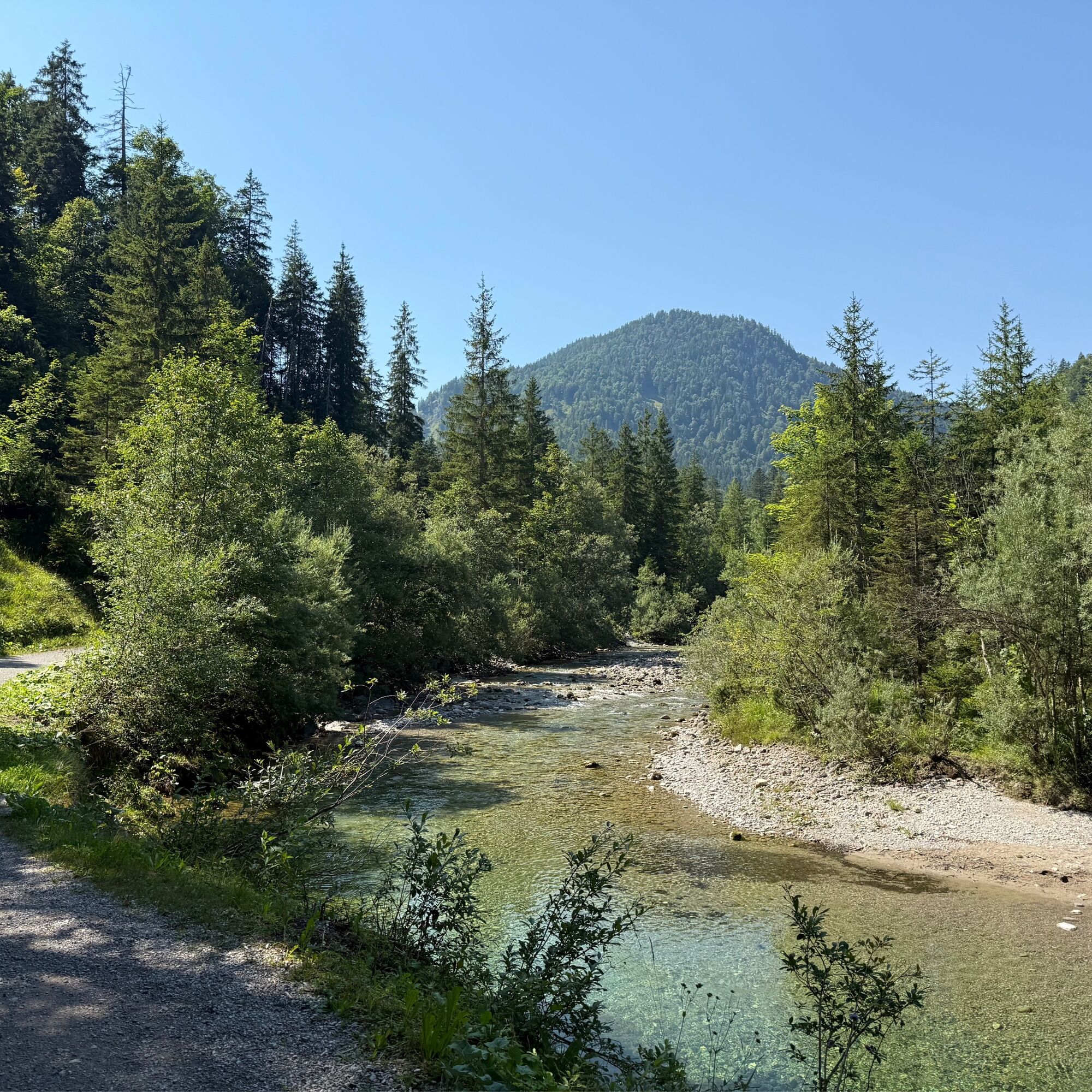
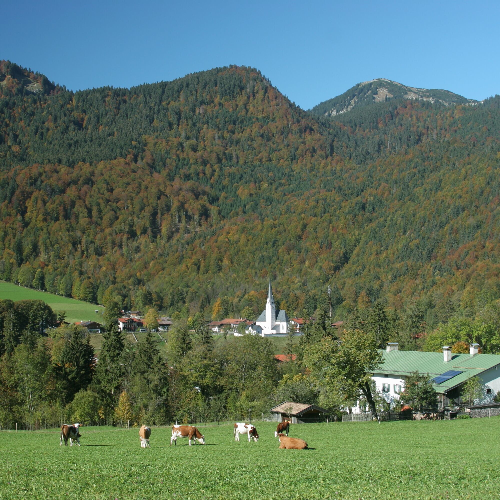
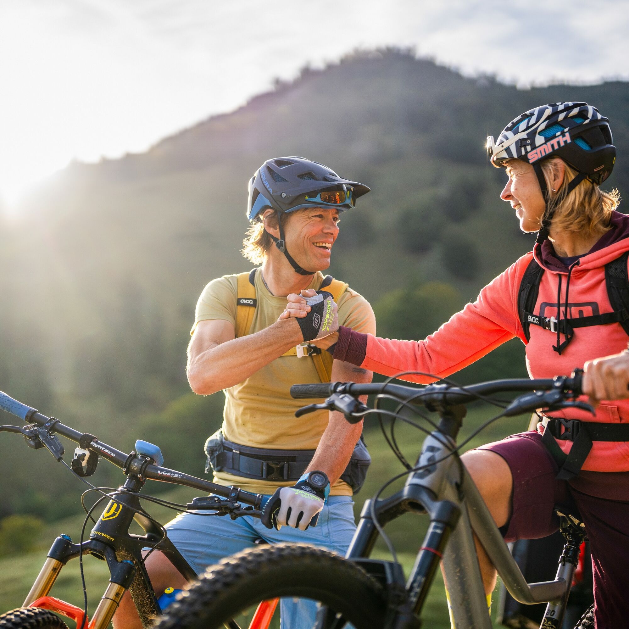

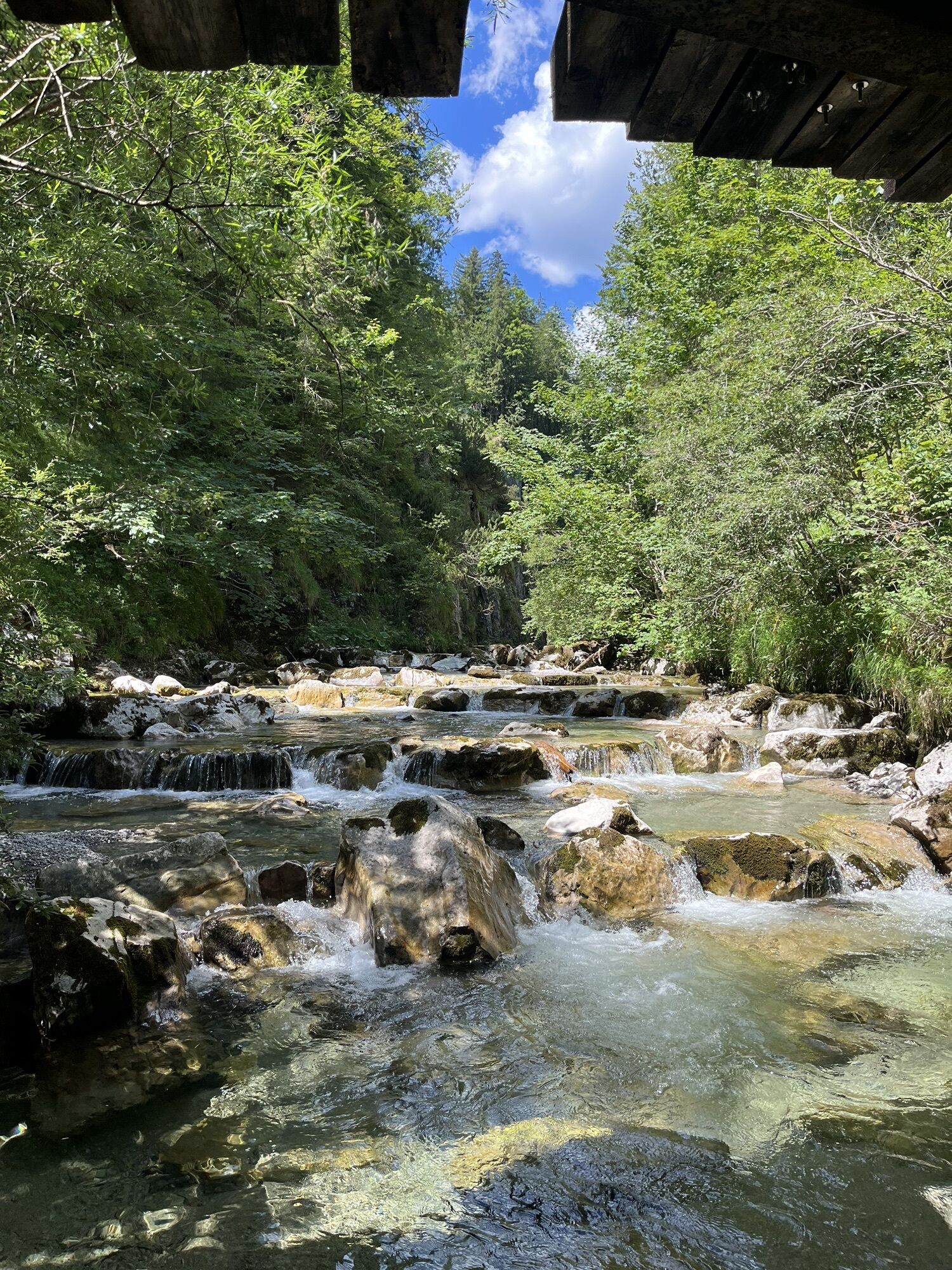
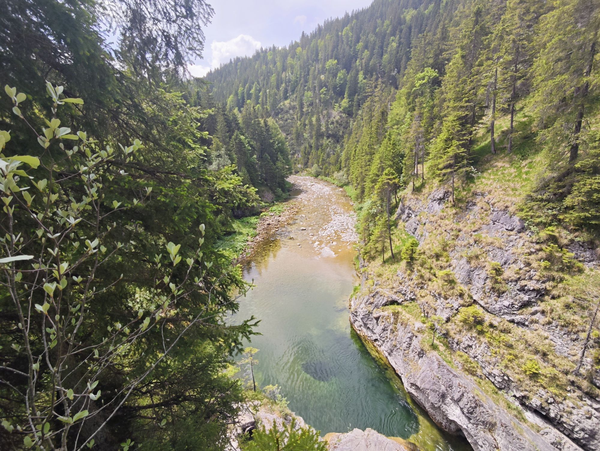
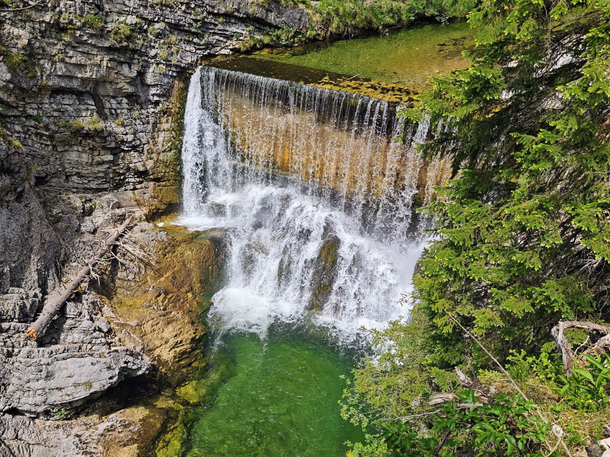
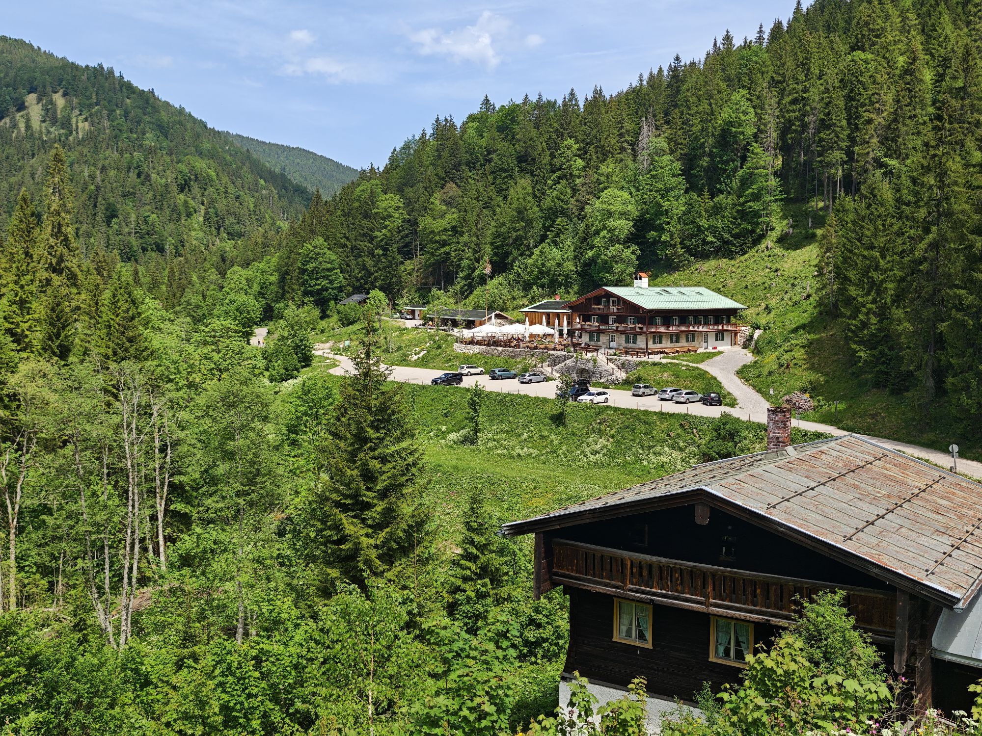
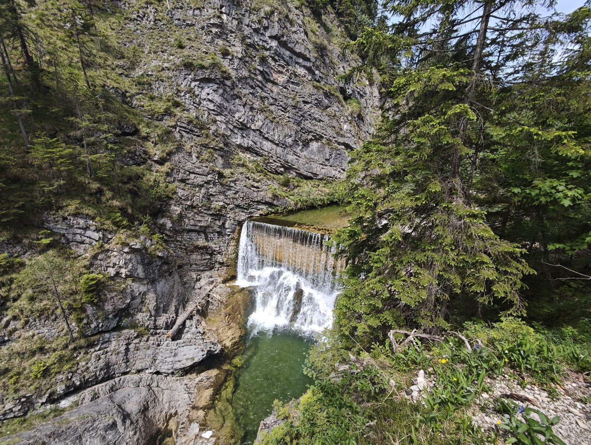
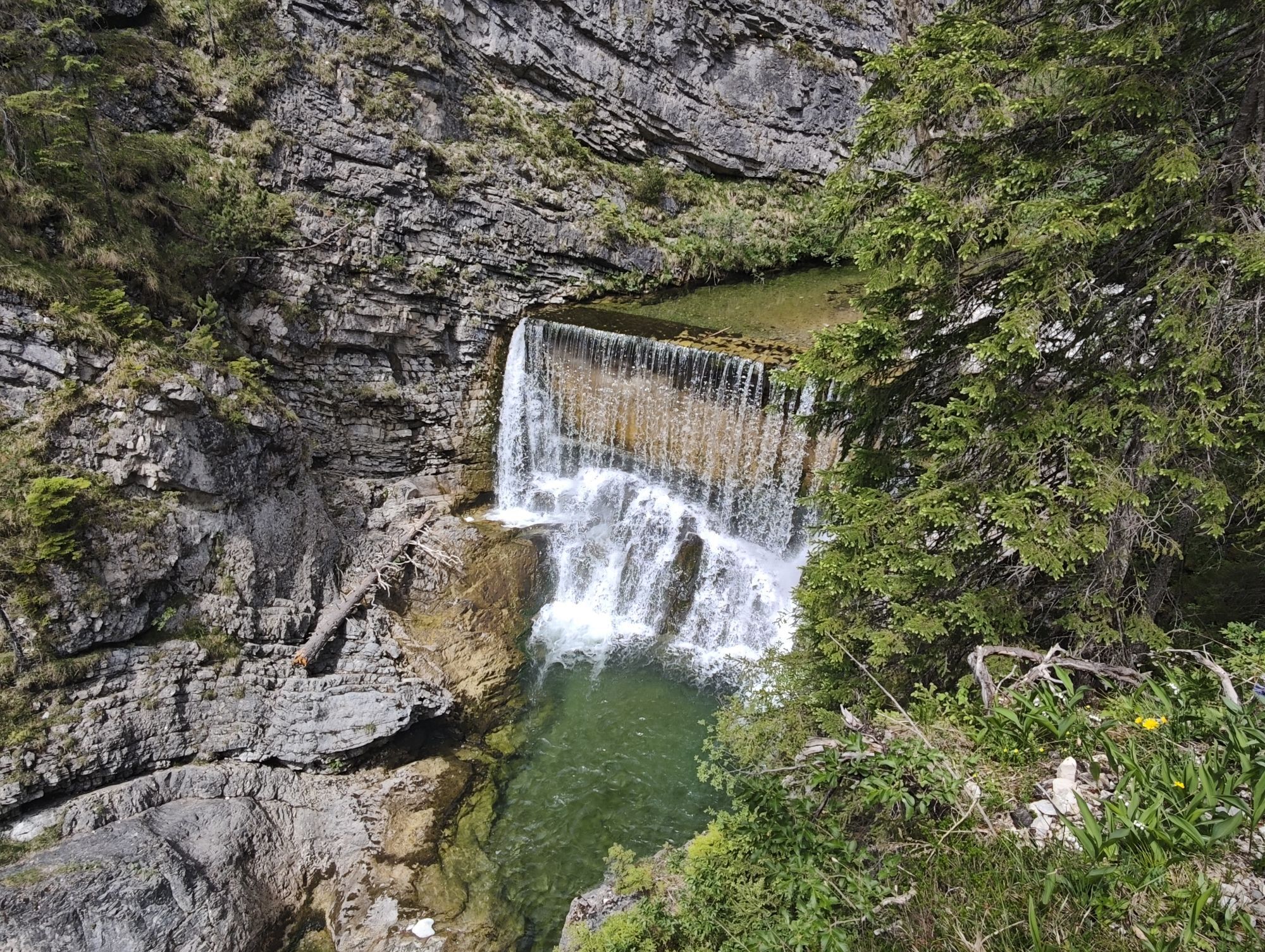
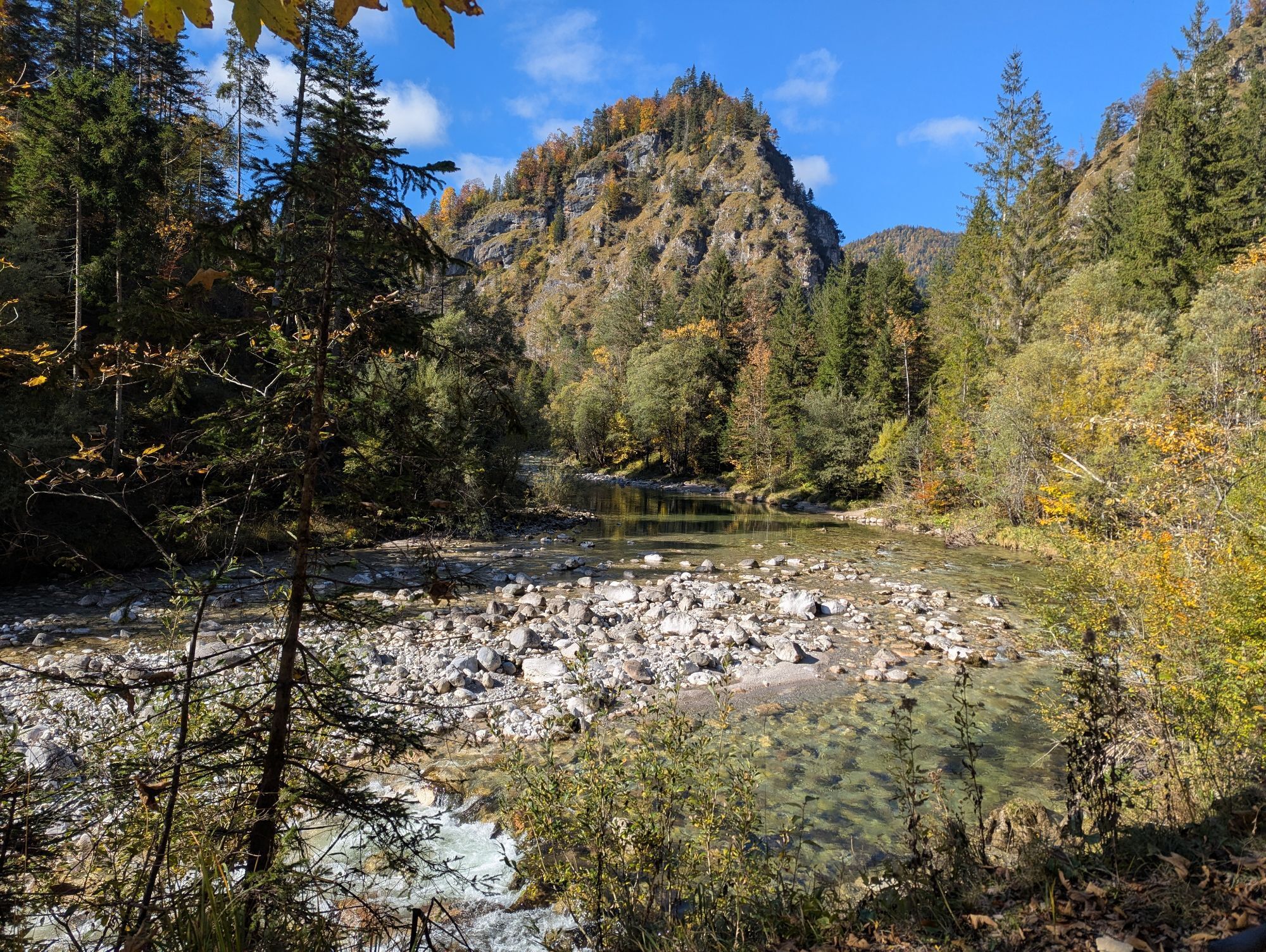
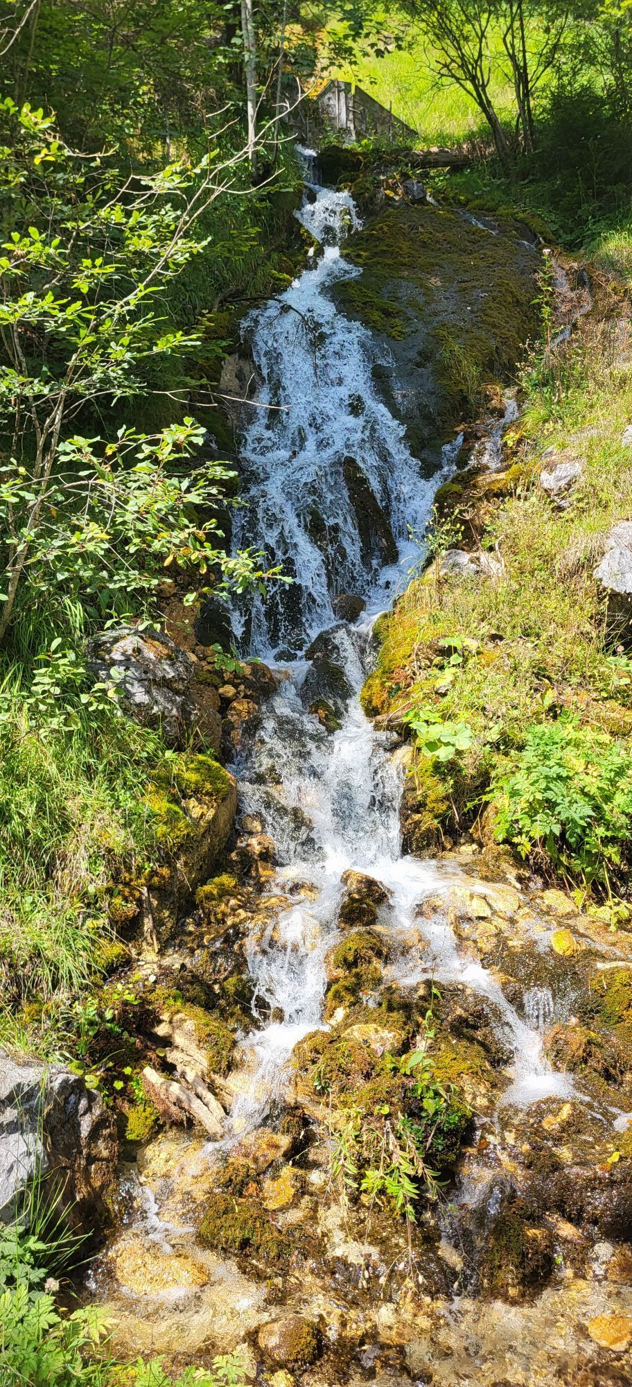
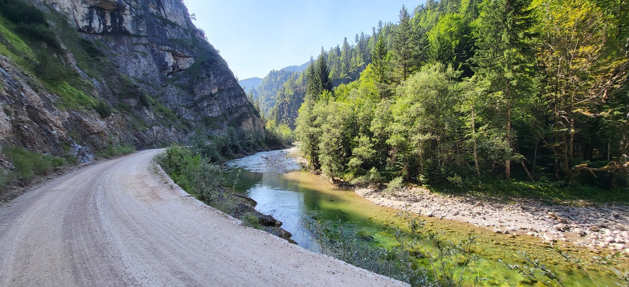
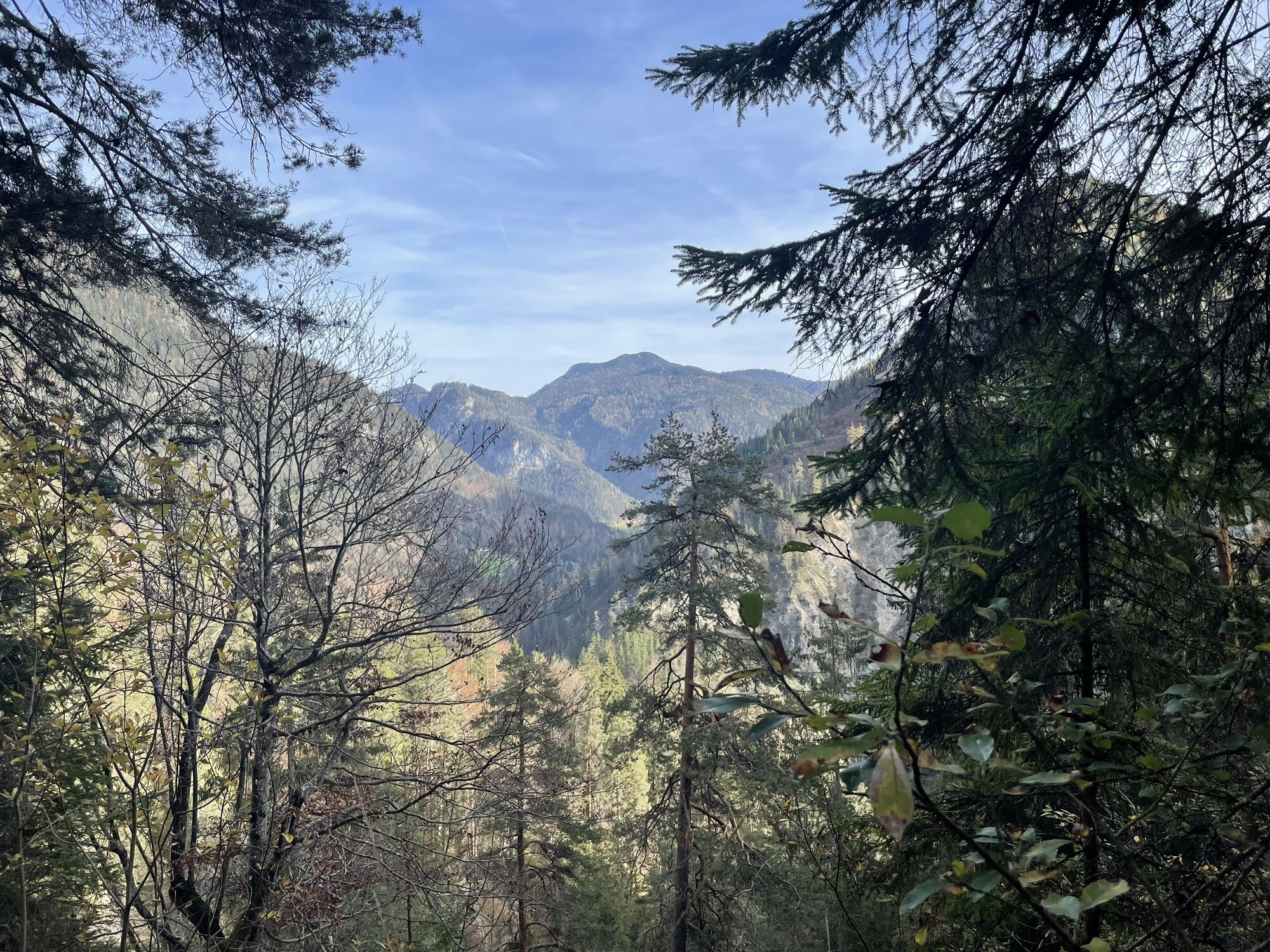
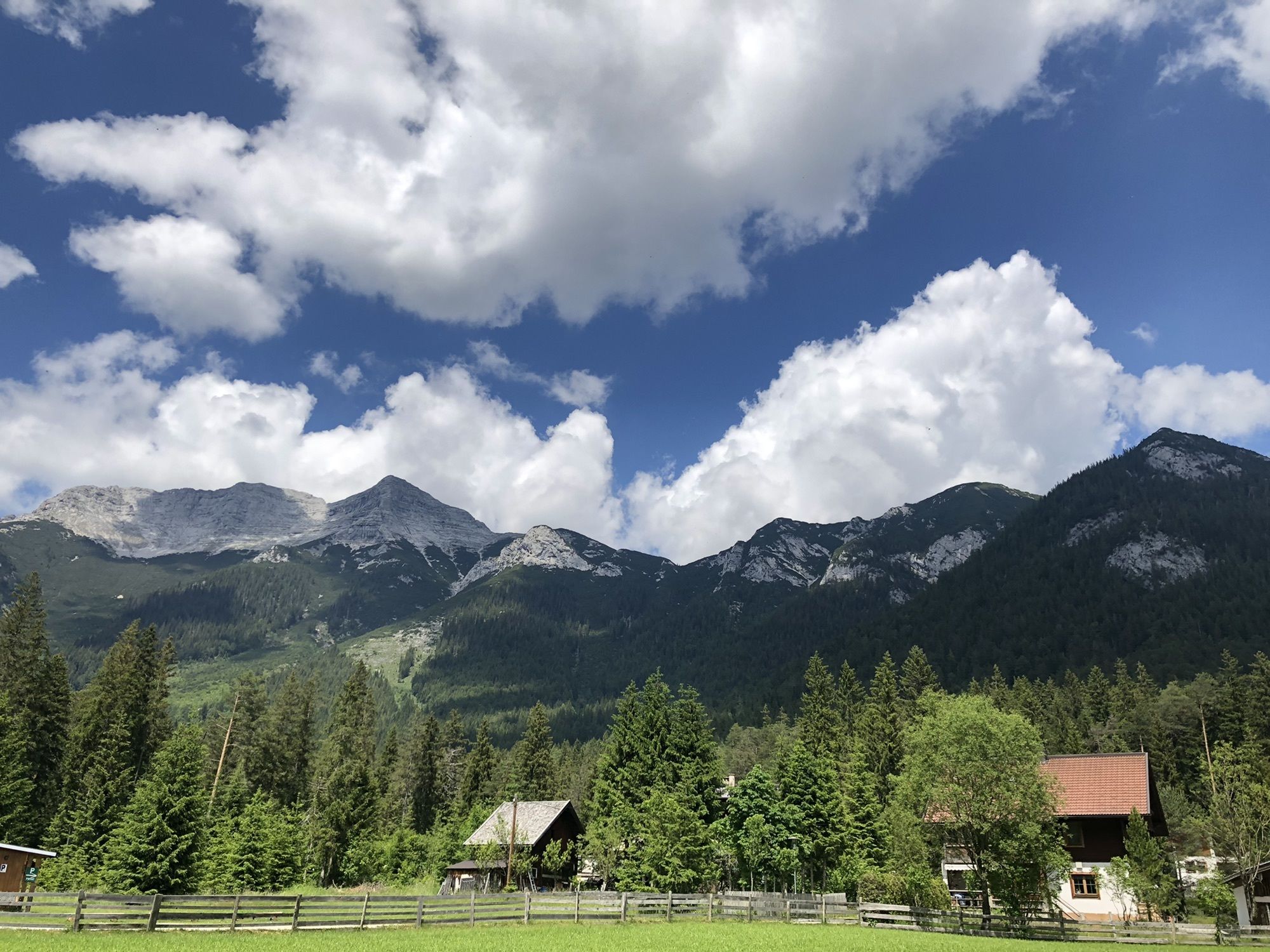
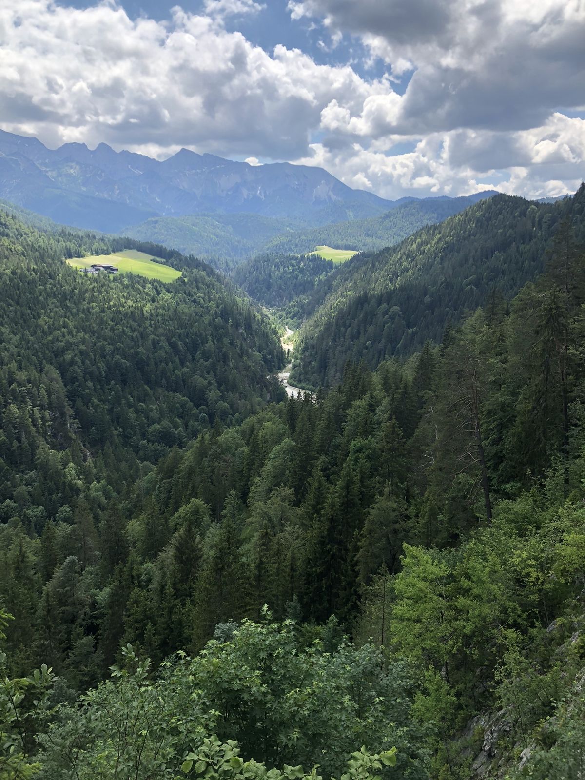
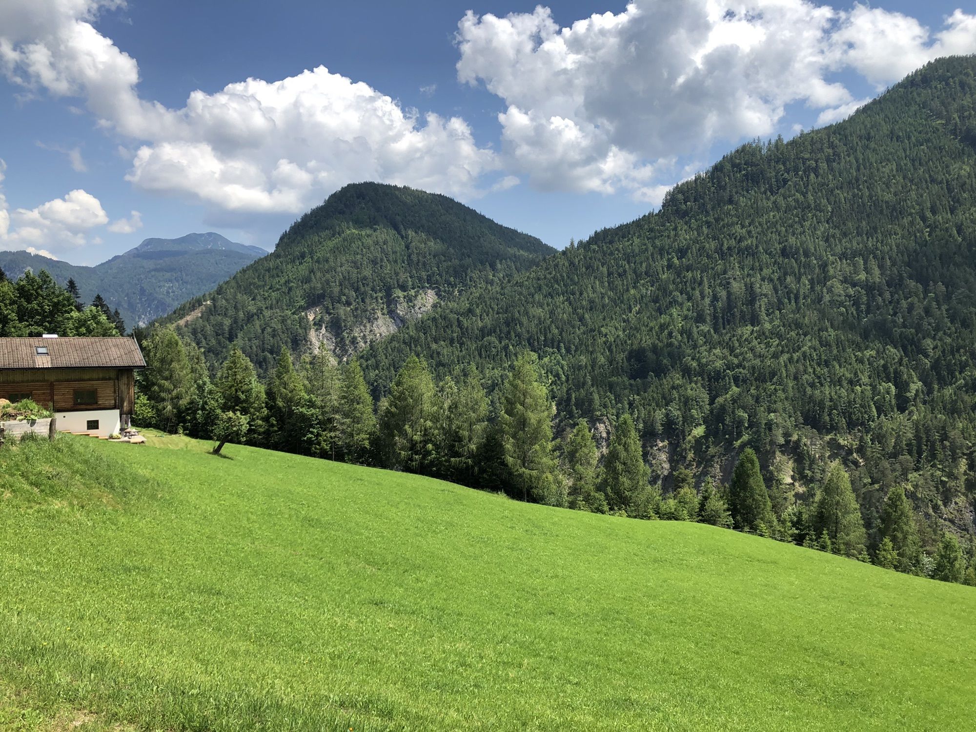
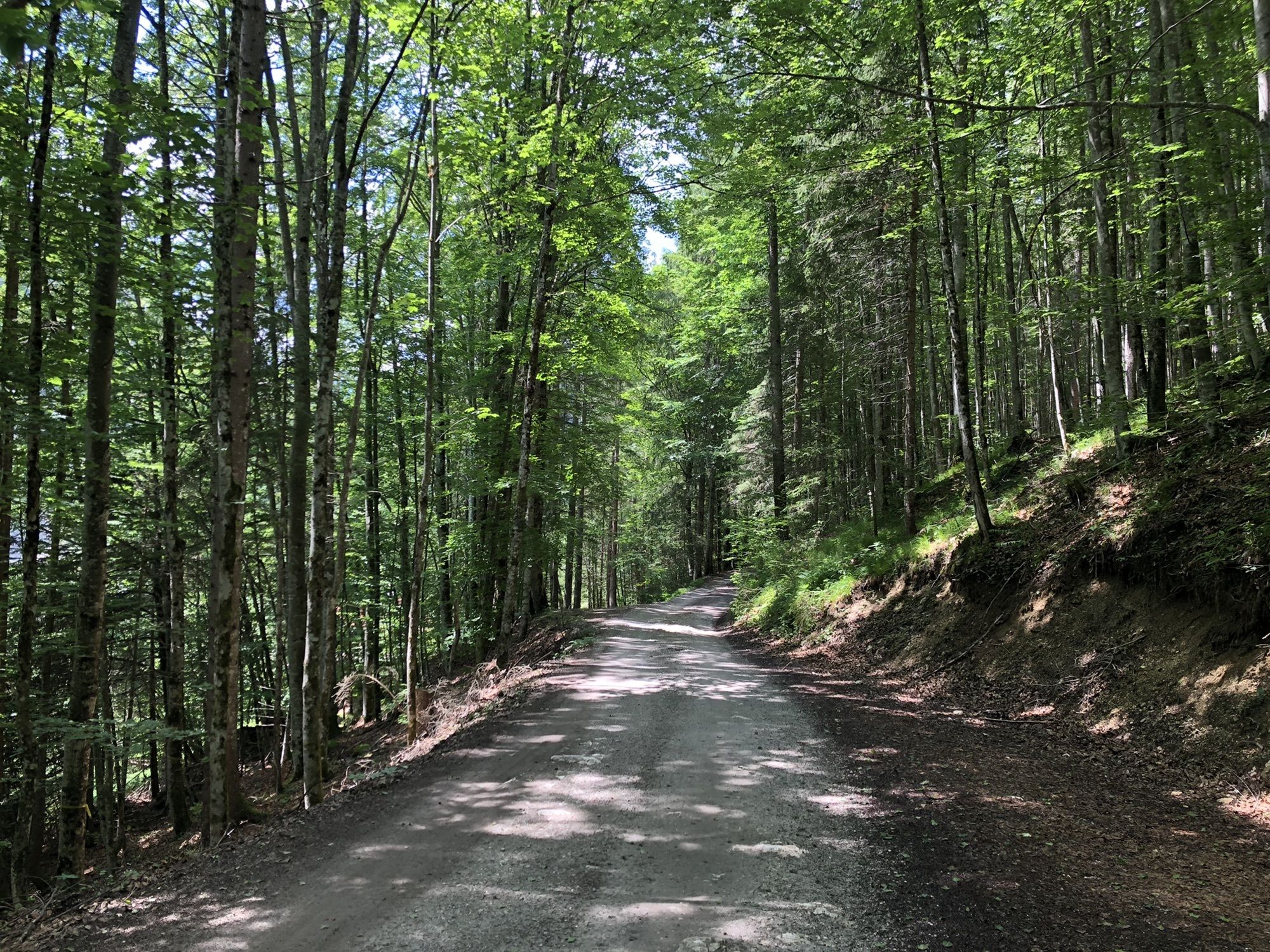
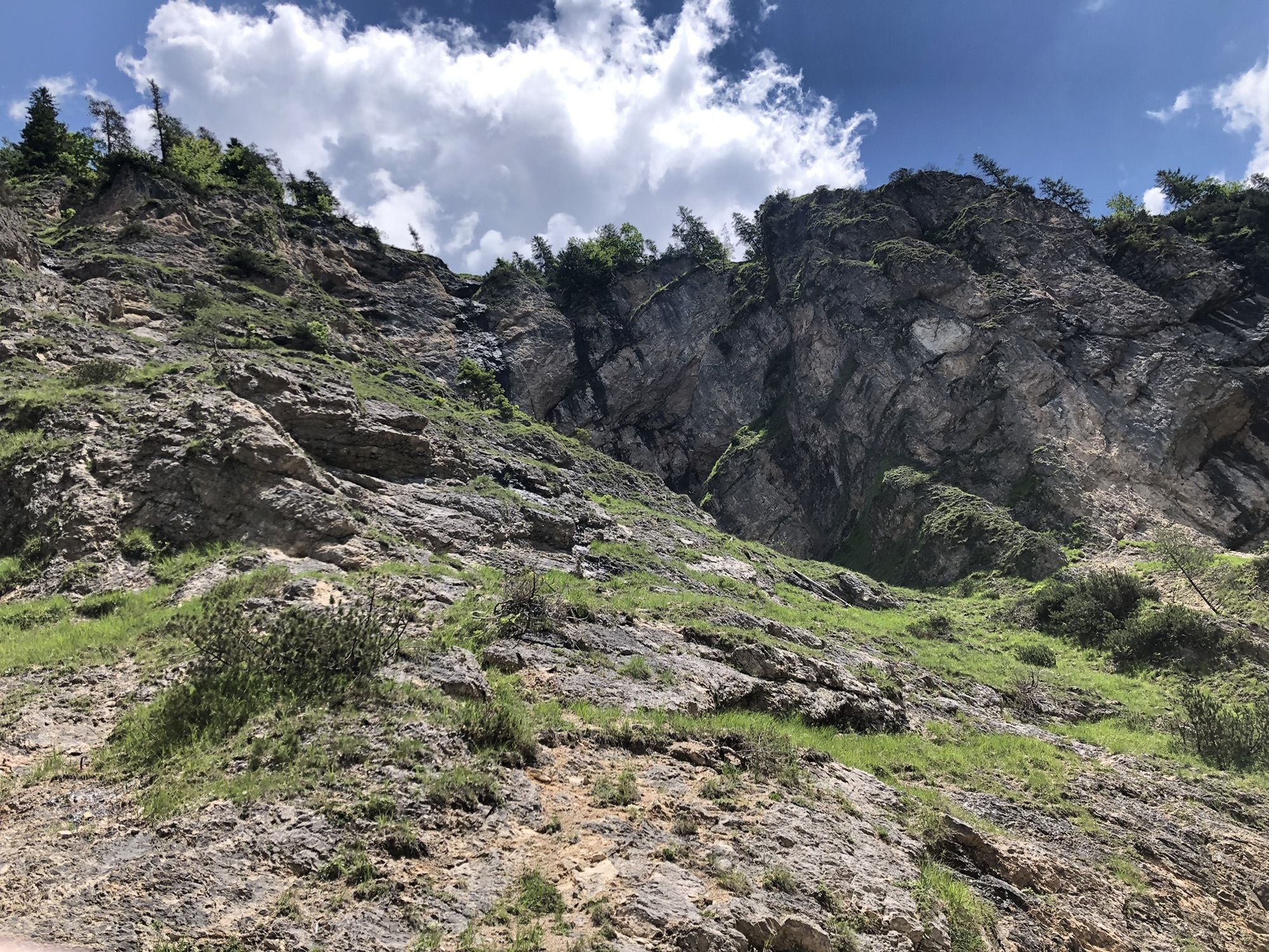
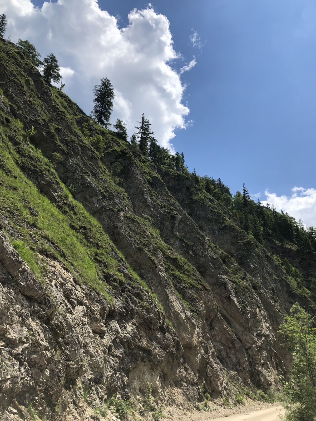
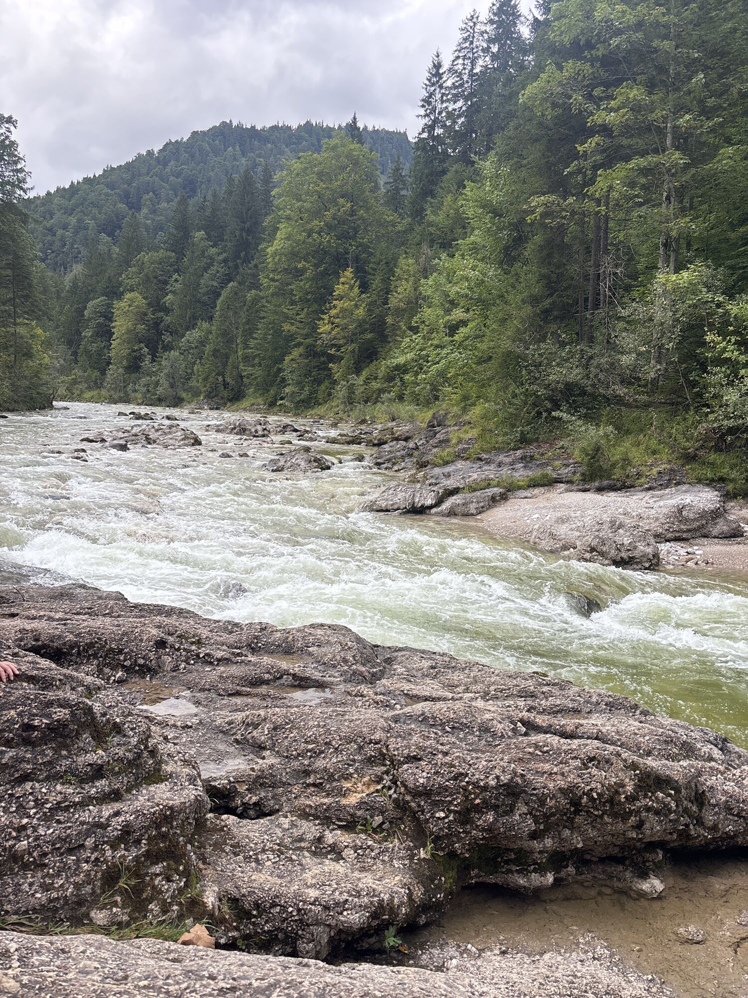
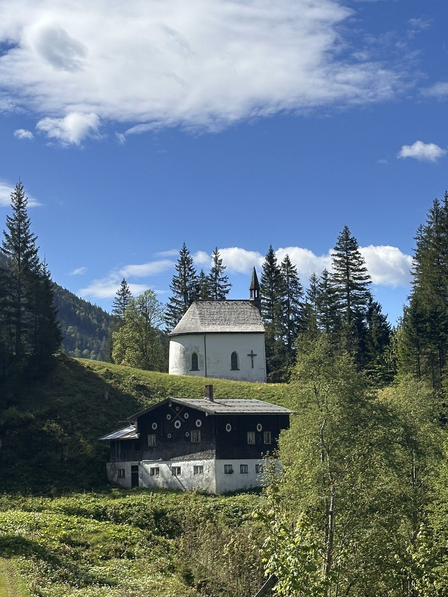
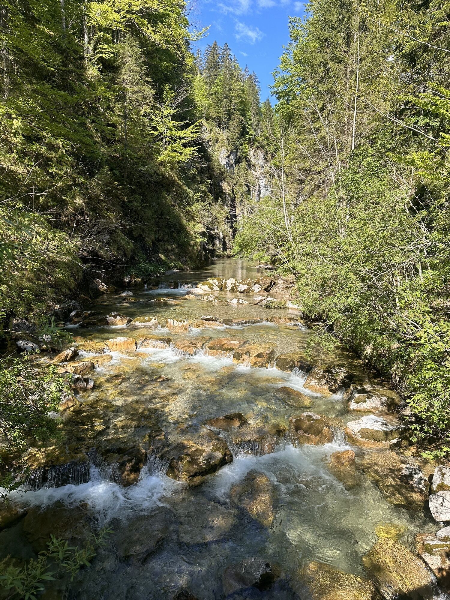
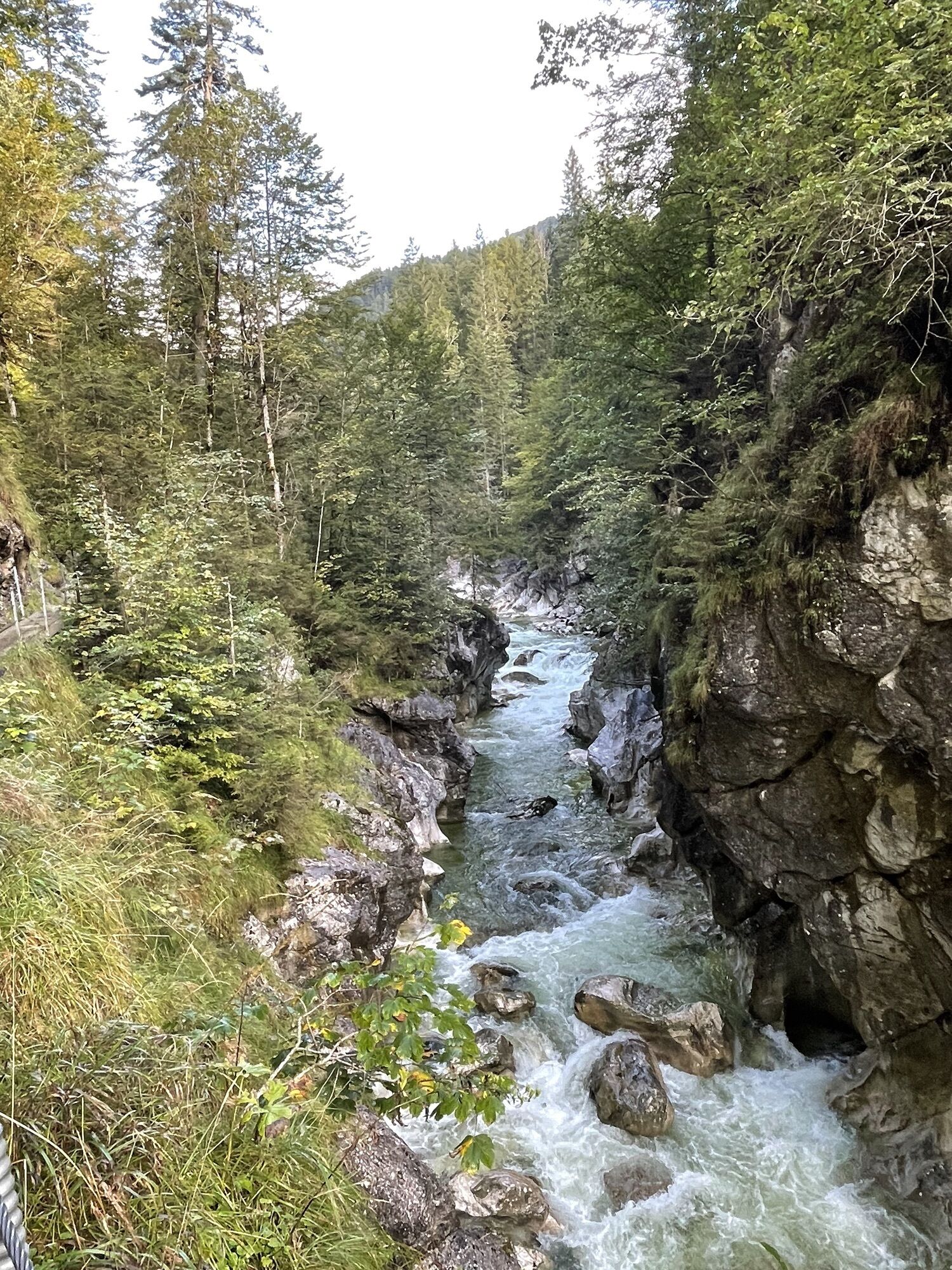
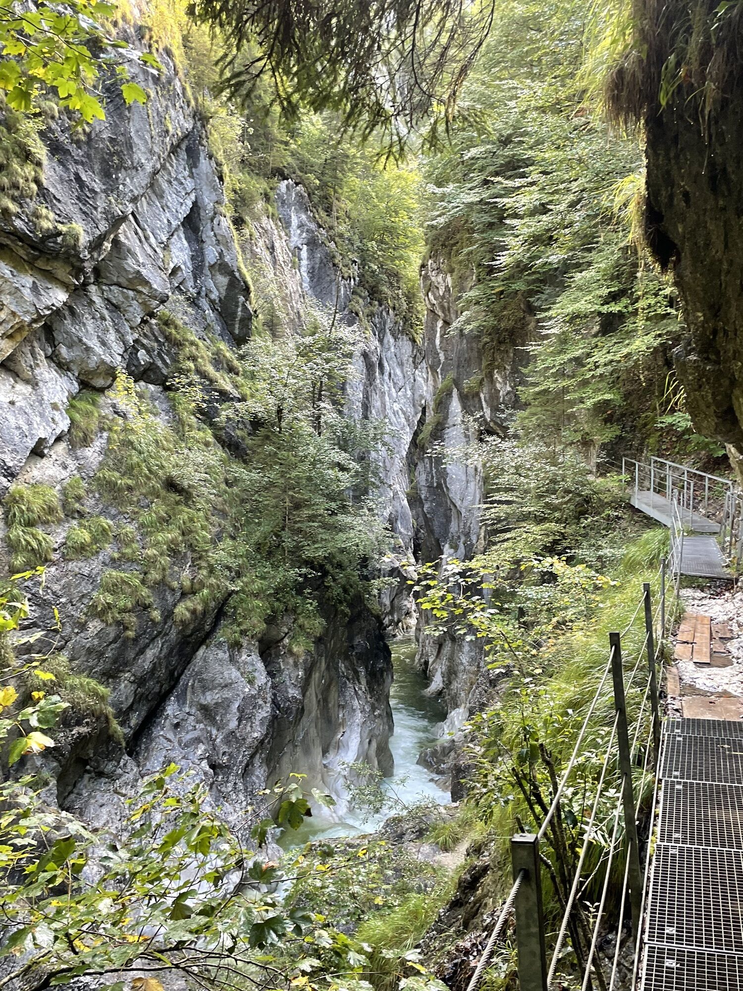
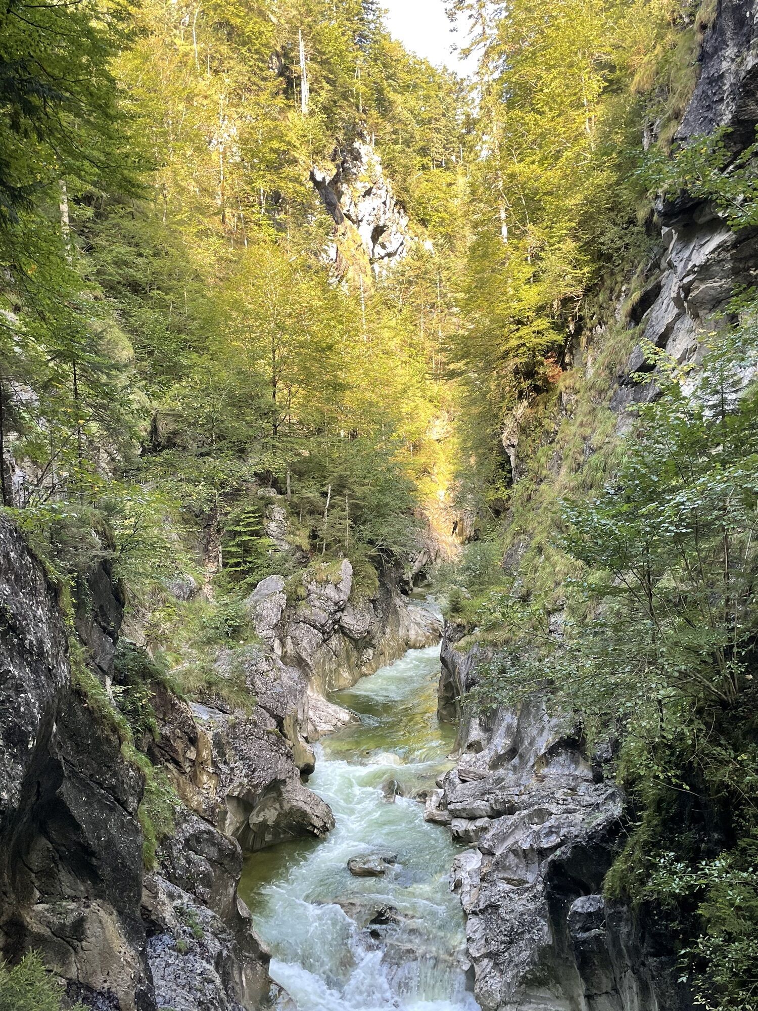
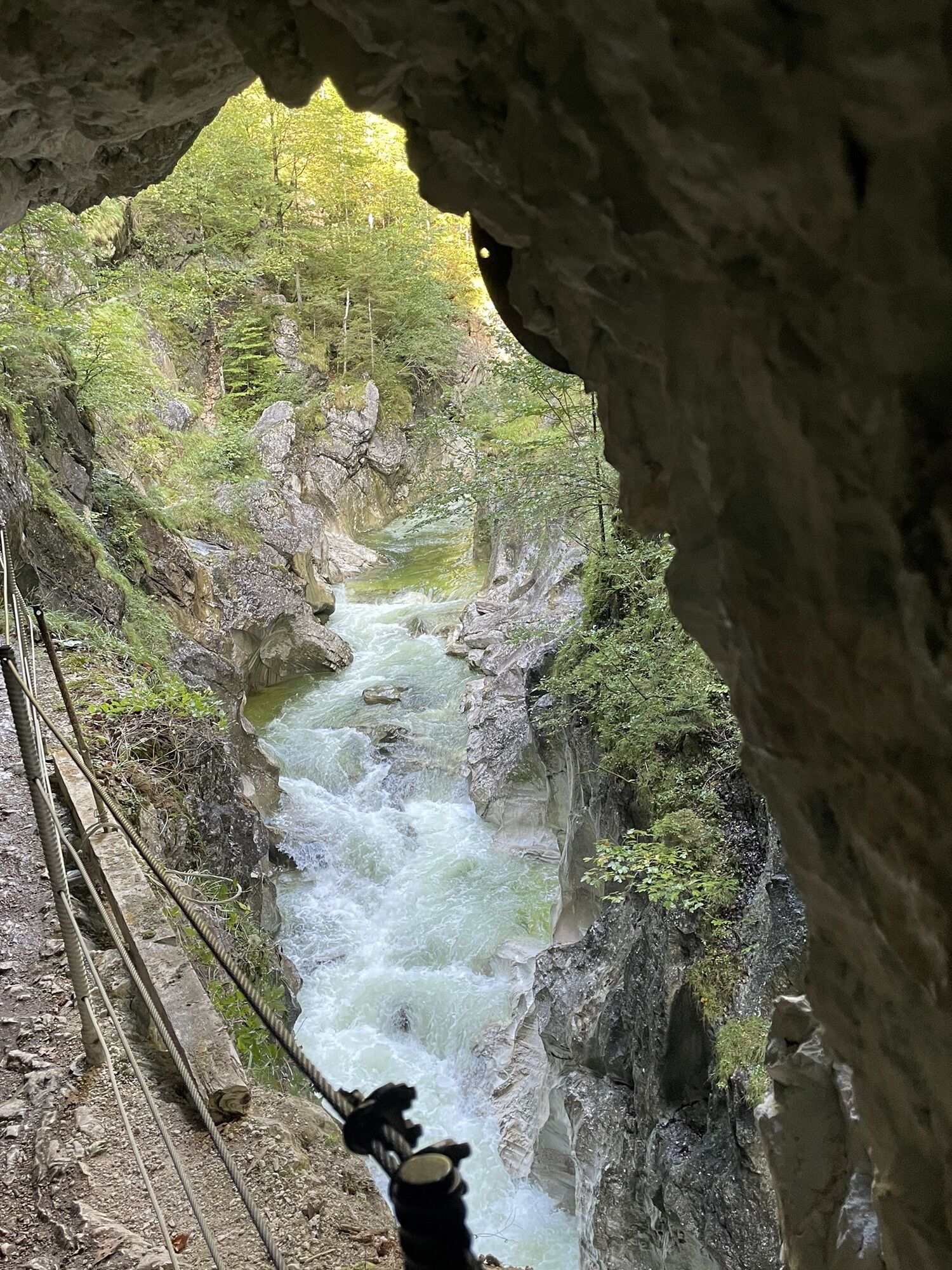
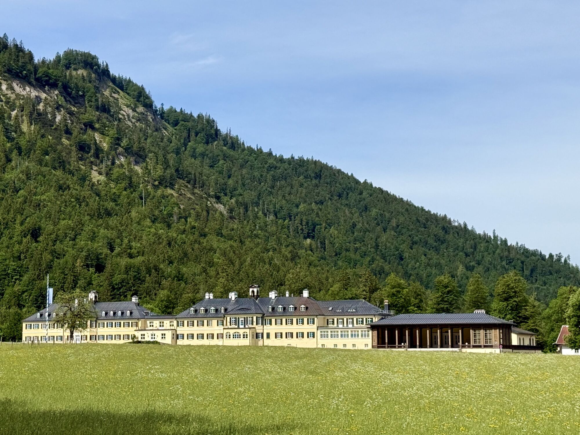
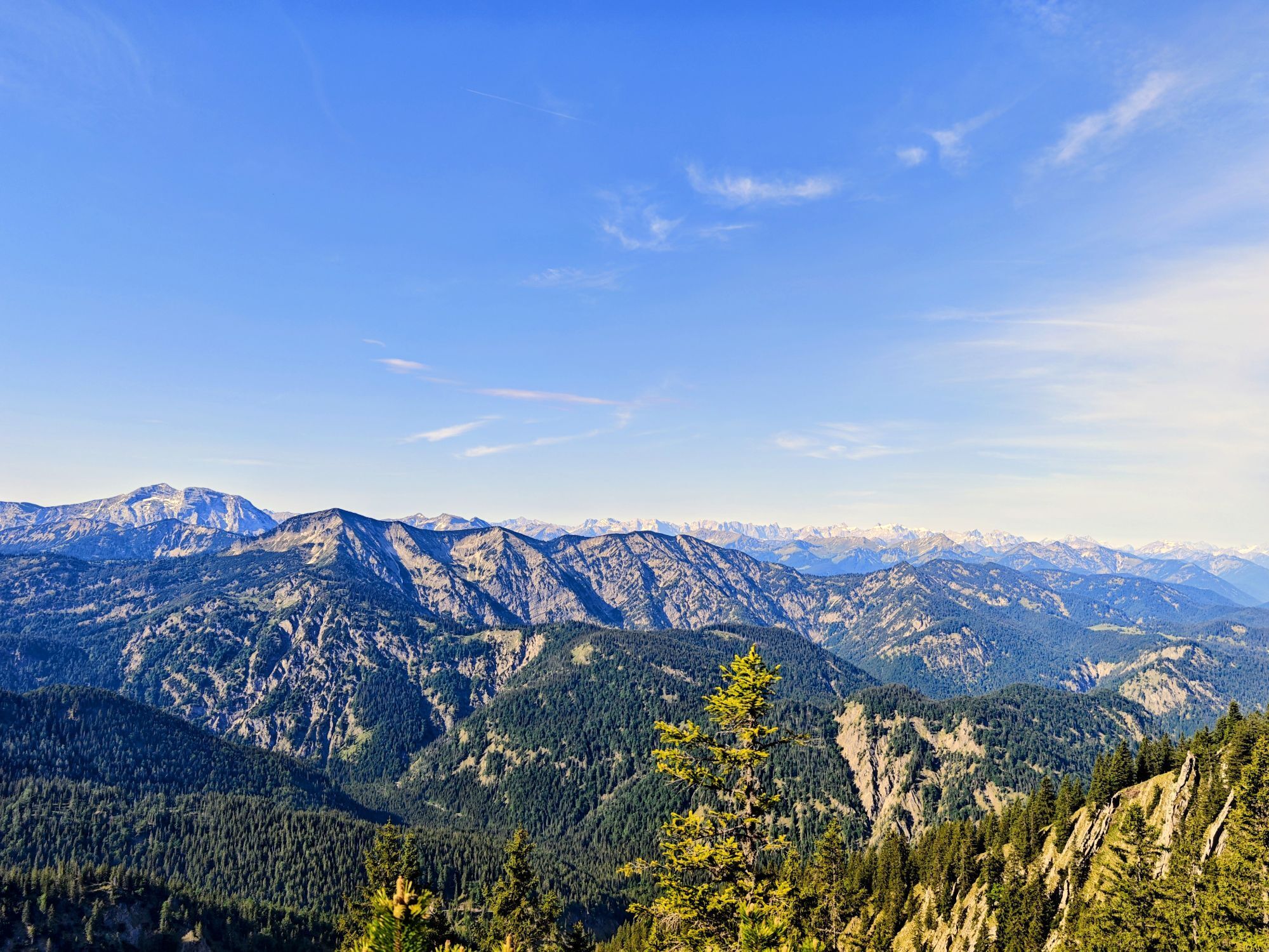
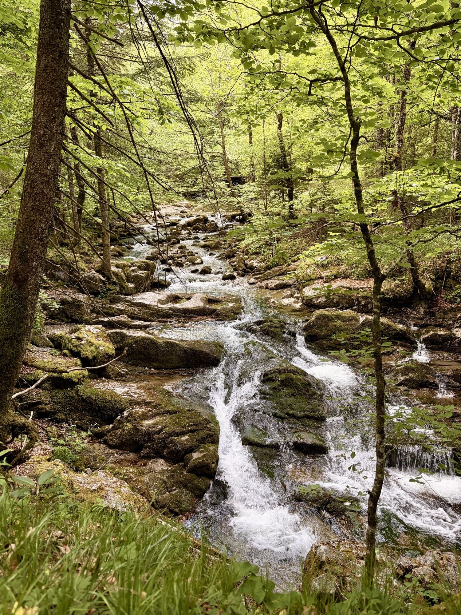
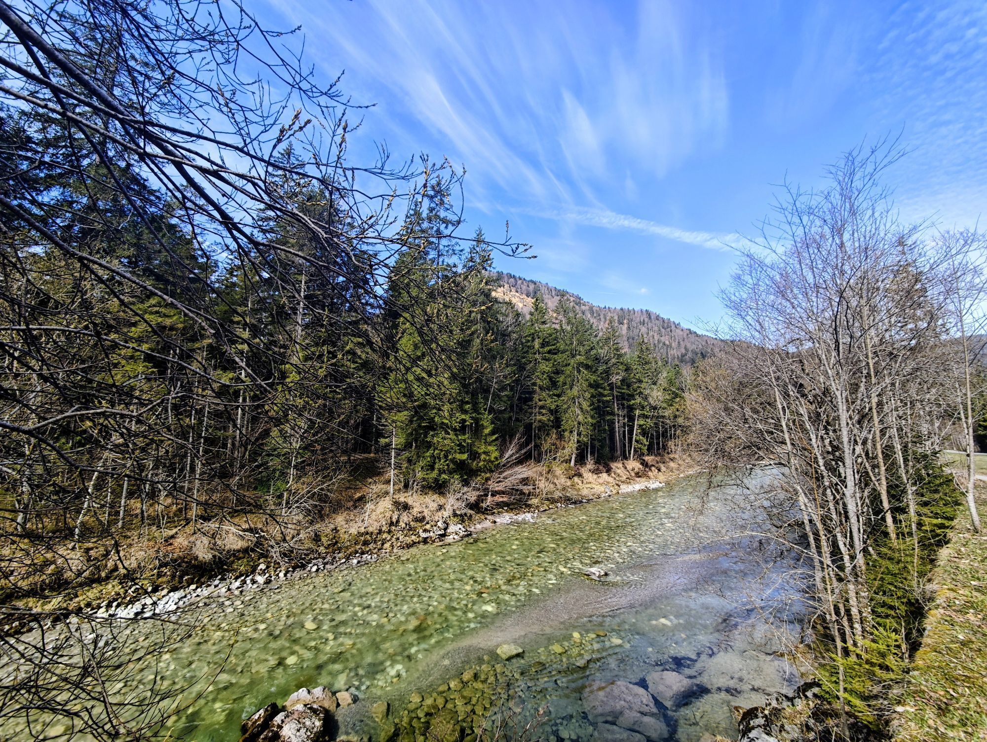
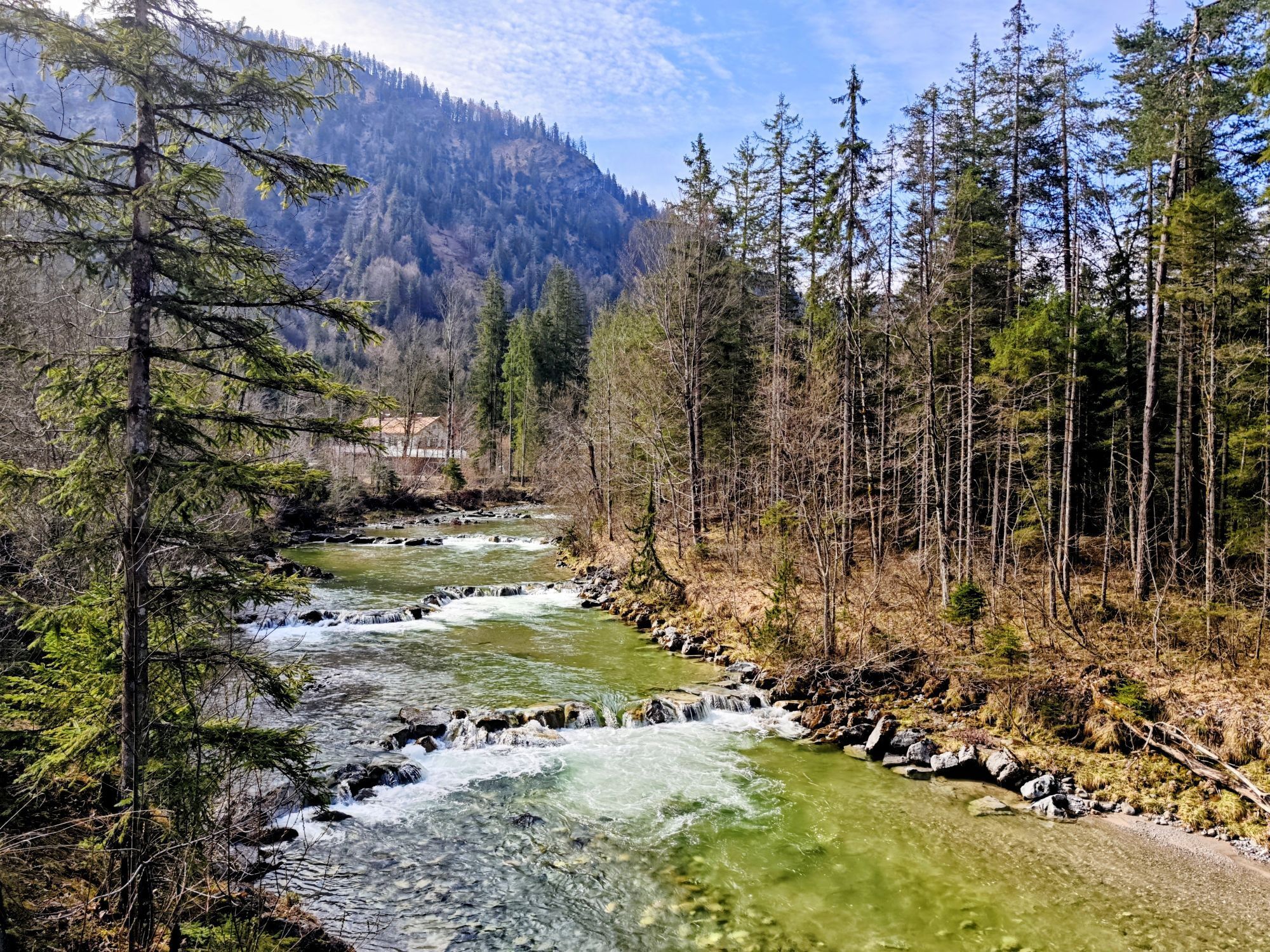
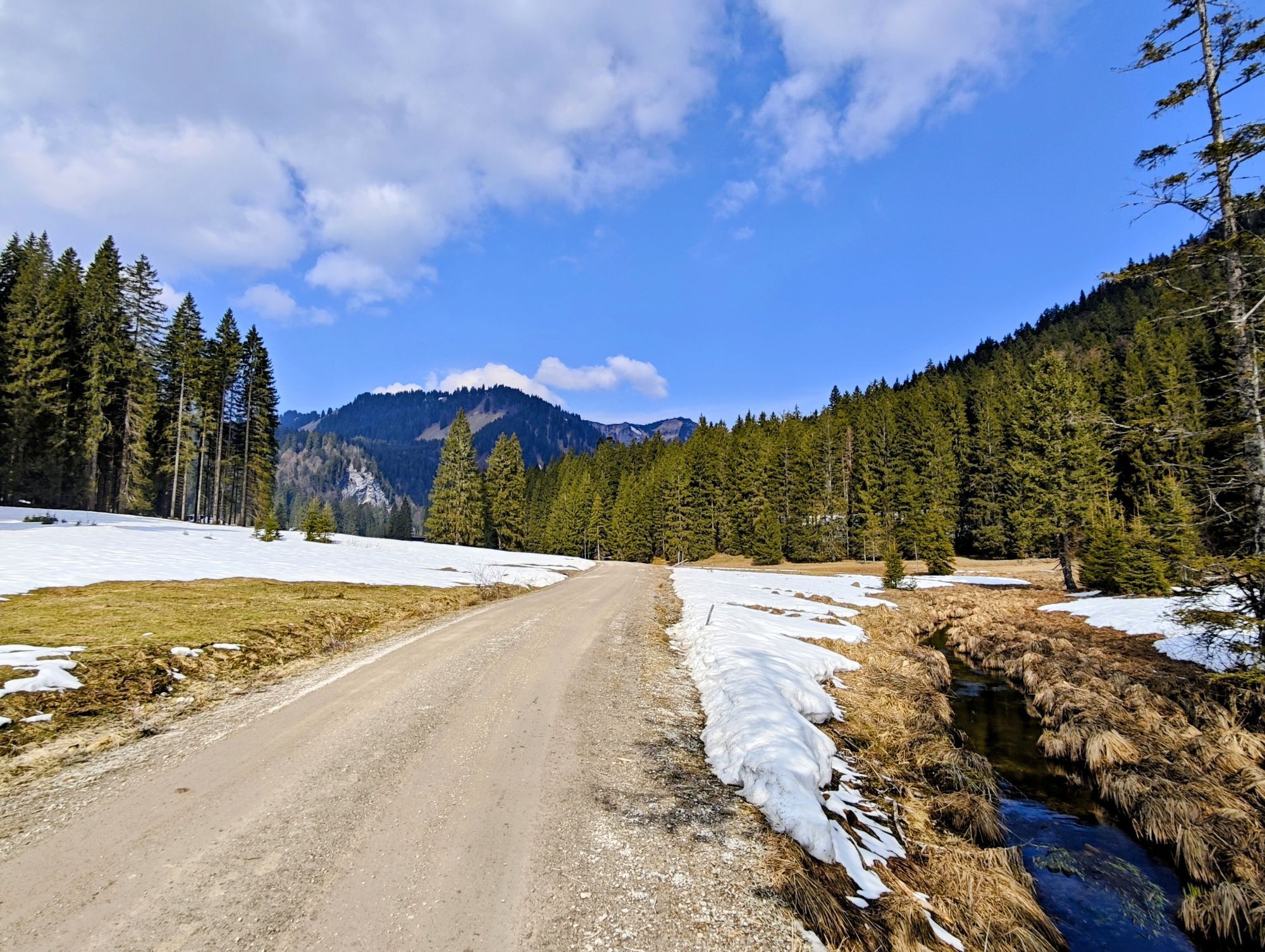
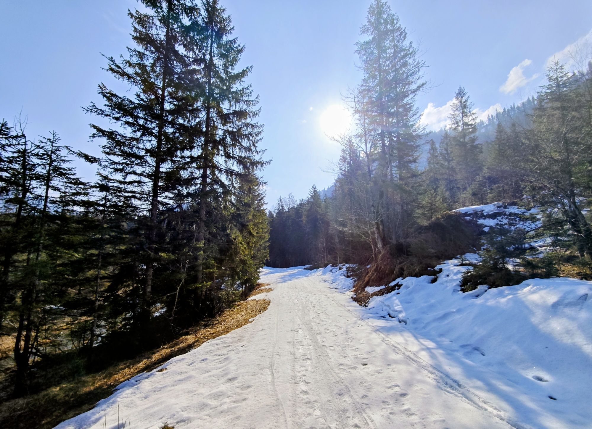
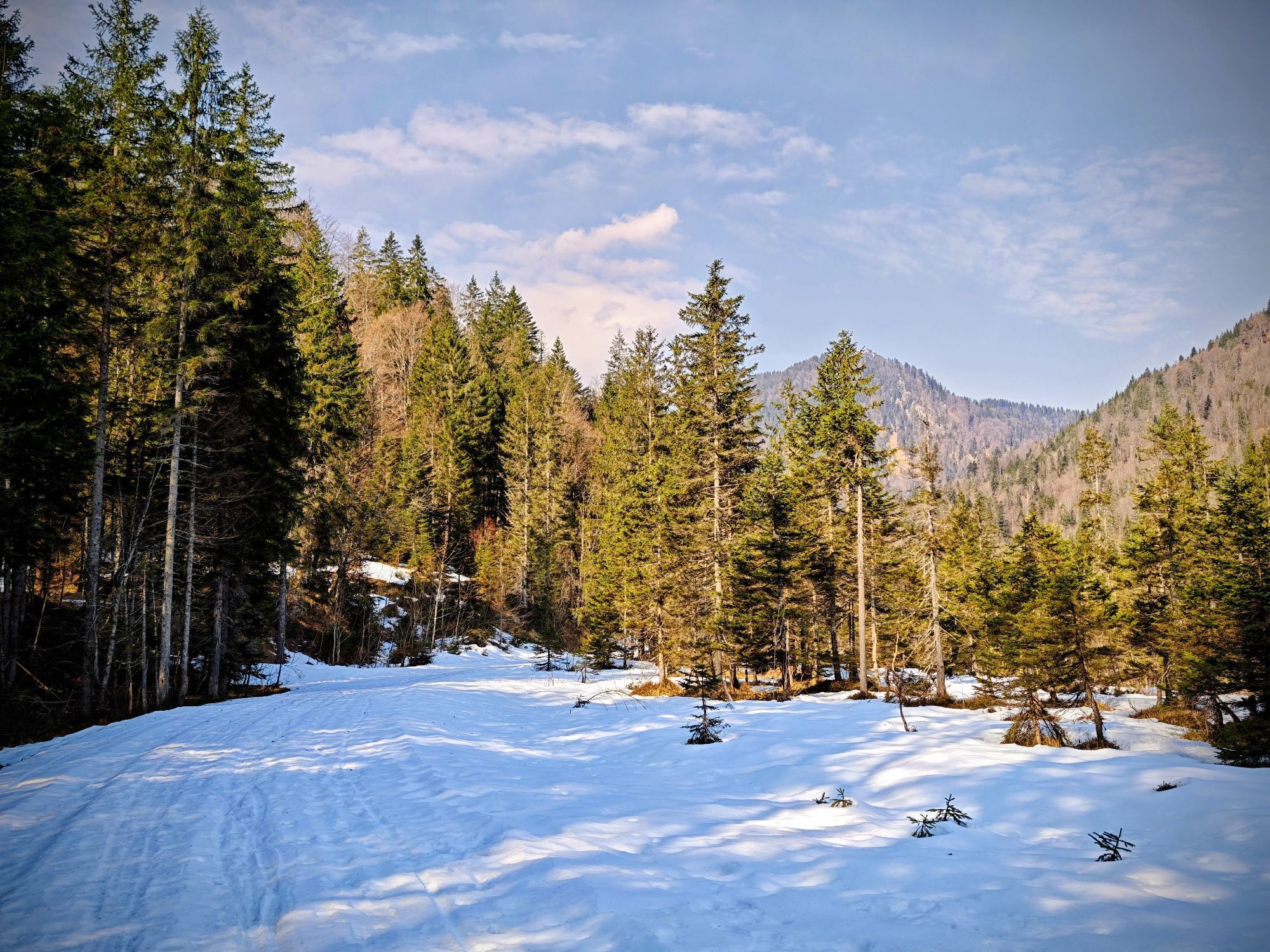
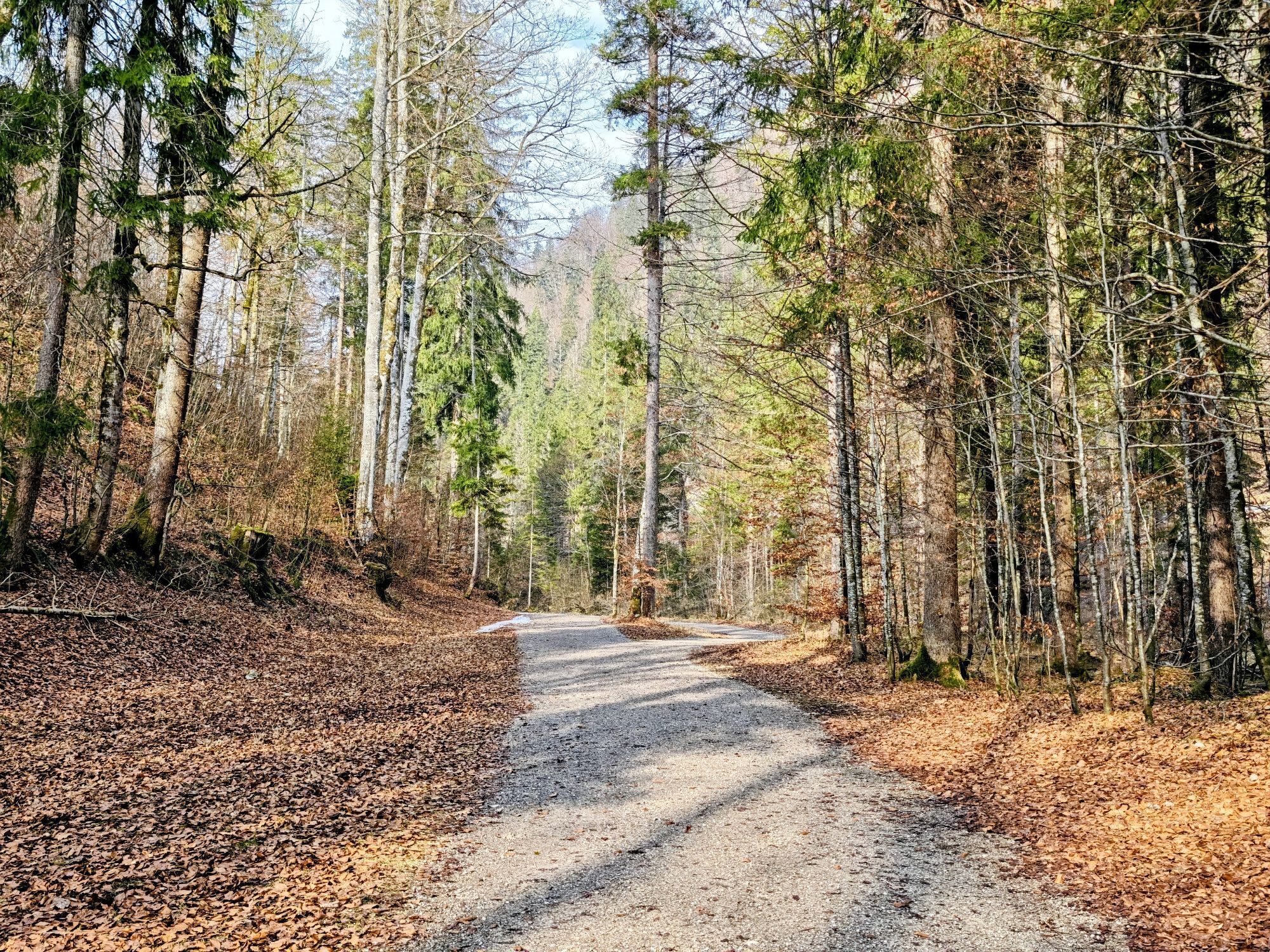
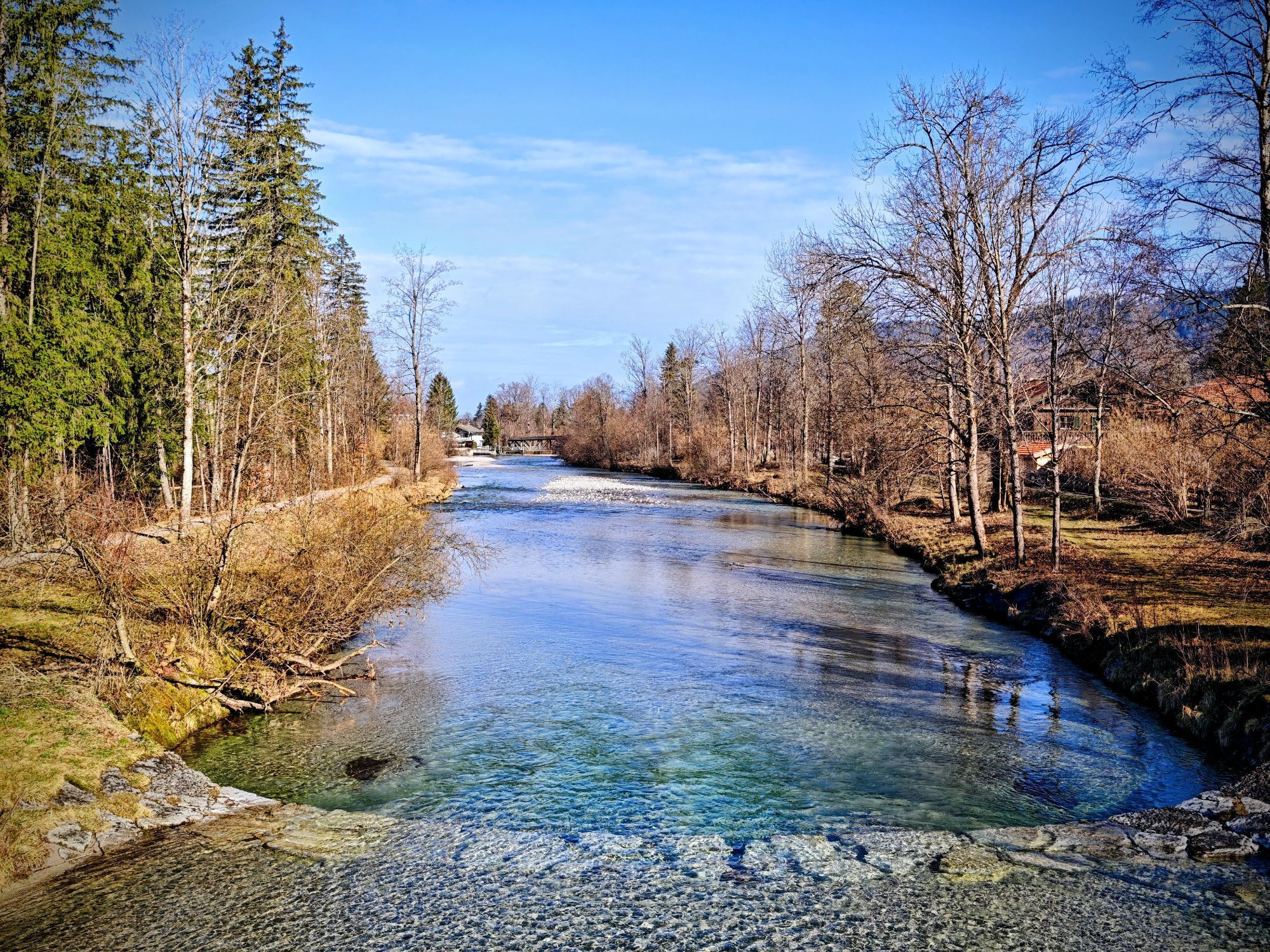
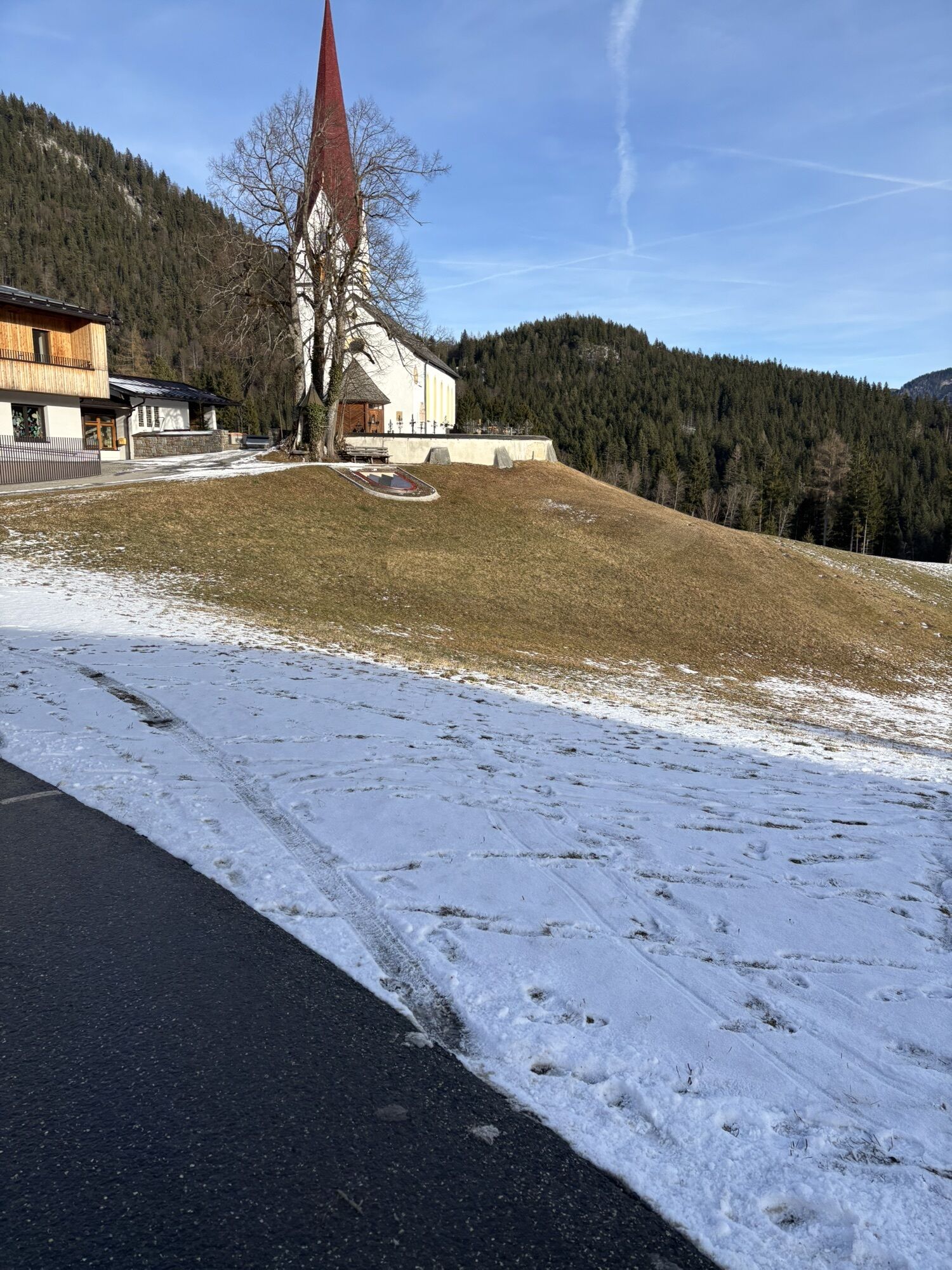
From the starting point in Kreuth, the route leads through the Weißachauen to Rottach-Egern. Via the districts Oberach, Sonnenmoos, Wolfgrub, and Unterwallberg, it continues to the toll station in Enterrottach. Now the paved road gently ascends, passing the scenic Rottachfall and the first refreshment options in the Sutten area, up to the Ankerstube at the Wechsel. Now follows a nice downhill ride along the white Valepp to the historic forester's house Valepp. Before descending again at the Reichsteinalm to the Erzherzog-Johann-Klause, you have to overcome some altitude meters and along the way enjoy some beautiful views of the nearby Trausnitzeck and Schinder. The Erzherzog-Johann-Klause was built in 1833 and was a dam for floating timber on the Brandenberger Ache. Today, it serves as a snack station during the summer months. The route continues downhill along a wide forest road along the Brandenberger Ache up to the Kaiserhaus. If time allows, you could also explore the Kaiserklamm gorge on foot or use one of the pools for a refreshing dip. From the Kaiserhaus, a narrow, rocky but well-secured path leads a kilometer upstream through the narrow gorge of the Kaiserklamm. Some bridges and stone tunnels make the route even more interesting. Far below, the Brandenberger Ache thunders loudly downstream. On our e-bike route, shortly after the Kaiserhaus, turn right and continue always uphill via the "Gang" and Außersteinberg to the mountaineering village Steinberg am Rofan. Once there, a detour to the town center is recommended to visit the church and stop at the well-run village café. The return path to the mountaineering village Kreuth leads along the road to the meadow area of the upper Bergalm. Here you have the choice to either stay on the paved road to Achenkirch or turn left over the old Steinberg path. Already in 1976, the municipality of Kreuth concluded a border partnership with its Tyrolean neighboring municipality Achenkirch. From here, a cycle path leads to the Bavarian-Tyrolean border. Shortly after the former border building, watch out: the steep forest path branches off to the right, parallel to the federal road, up to the Achen Pass located at 940m. Before returning along the cycle path via Wildbad Kreuth back to the starting point, you could stop again for a nice break at the guesthouse Glashütte.
Da
Technically flawless mountain bike or e-mountain bike, helmet, tools, provisions, change of clothes, mobile phone, first aid kit.
For this route, an e-mountain bike is recommended, and depending on riding style and battery capacity, carrying the charger is advised.
All information without guarantee. The hiking and cycling on the described routes is at your own risk; please also observe short-term path closures.
Please always be considerate of nature and your fellow human beings. For example, mutual consideration between mountain bikers and hikers is essential to avoid unnecessary accidents and to make a wonderful nature experience accessible to all.
A8 to Holzkirchen exit, via B318 to Kreuth
Arrival by bicycle and the Bavarian Regio Railway to Tegernsee station possible.
https://www.mvv-muenchen.de/fahrplanauskunft
General notes from Regio Bahn about bicycle transport:
Owners of a BahnCard 100 do not require a separate bicycle ticket on our trains.
The number of bicycles per vehicle is limited for safety reasons.
Unfortunately, there is no general entitlement to take bicycles along.
Before boarding, please remove luggage and bicycle bags so that the bikes can be optimally arranged in a row.
Please use the entrances marked outside with the bicycle symbol and park your bike in the so-called multipurpose area.
The safety of all passengers must be ensured at all times; please keep escape routes clear and be considerate of other passengers.
Please follow the instructions of the train staff. Our employees are responsible for safety on board and decide whether bicycle transport is still possible during high demand.
Passengers with wheelchairs or strollers have priority.
Stay close to your bicycle to hold it if necessary.
Some morning and evening connections, mostly between 8 and 11 and 16 and 19 hours, are particularly popular. Consider selecting earlier or later trains if possible. Demand also rises quickly with sudden weather changes.
E-bikes with insurance plates are excluded from transport.
Paid parking lot in Kreuth
3
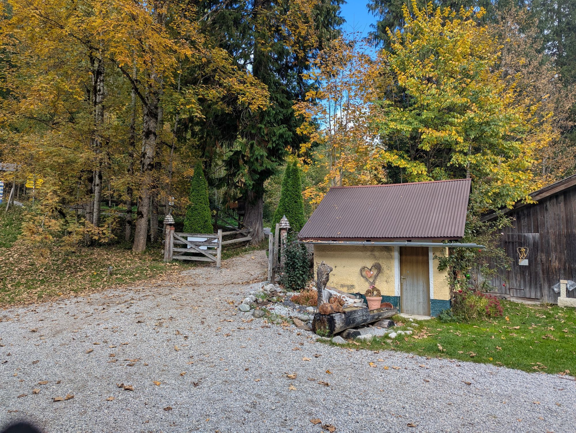
In the over 500-year-old Kaiserhaus at 710 m, Emperor Franz Joseph I has already stopped by.
Spletne kamere s turneje
Untere Firstalm
Christlum
Wallbergbahn
Kreuth
Bergstation Taubensteinbahn
Talstation Stümpflingbahn
Jagahütt´n
Stümpflingabfahrt
Obere Maxlraineralm
Suttenabfahrt
Tegernsee
Hirschberglifte
Achenkirch
Taubensteinbahn - Bergstation
Brandenberg Dorf
Steinberg
Wallberg - Wallbergkircherl
Prasserbad - Rottach-Egern am Tegernsee
Tegernseer Hütte
Rottach - Egern / Cafe Angermaier
Christlum
Spitzingsee
Spitzingsee
Spitzingsee
Spitzingsee
Spitzingsee
Spitzingsee
Spitzingsee
Talstation Rosskopf
Kreuth
Christlum Talstation
Tegernsee West
Wallbergbahn
Wallbergbahn
Wallbergbahn
Wallbergbahn
Spitzingsee
Obere Firstalm
Obere Firstalm
Achenkirch Strandbad
Pridobite vpogled Vedno v živo na mestu z več kot 9.500 spletnimi kamerami. bergfex Kot uporabnik Pro si lahko zdaj ogledate ustrezne spletne kamere za številne izlete v aplikaciji izleti iz. Tako si lahko neposredno ogledate trenutne razmere. Priljubljeni izleti v okolici
- 4,6
Summit route to the Wallberg
srednjaPohodništvo 12,2 km - 4,7
Königsalm
srednjaPohodništvo 10,0 km - 4,7
Rotwand über Schliersee, Deutschland
srednjaPohodništvo 15,4 km - 4,6
Brecherspitze
srednjaGorski pohodništvo 14,5 km - 4,5
Aueralm/Zwerglberg
srednjaPohodništvo 11,9 km - 4,5
Achenkirch - Zöhreralm - Adlerhorst - Achenkirch
svetlobaPohodništvo 7,70 km - 4,5
Brecherspitz-Runde auf dem Normalweg Schliersee, Bayern
srednjaPohodništvo 11,3 km - 3,7
Aueralm und Fockenstein
srednjaPohodništvo 14,1 km - 4,6
Roß- and Buchstein, Tegernsee Hut
težkoPohodništvo 14,4 km - 4,6
Alpbach valley and Neureuth
srednjaPohodništvo 12,9 km
Pohodništvo in sledenje


Ne zamudite ponudb in navdiha za naslednje počitnice
Vaš e-poštni naslov je bil dodan na poštni seznam.





