






Alpsee route
Stopnja težavnosti: 2
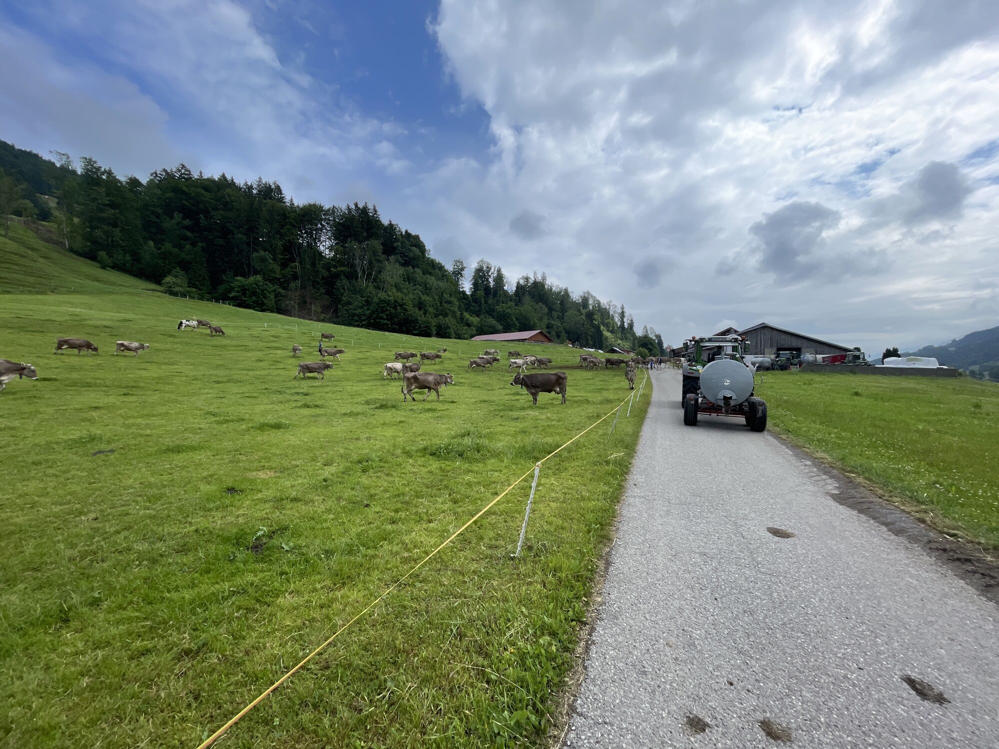
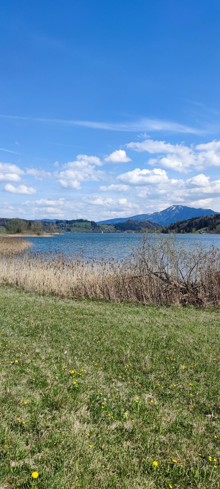
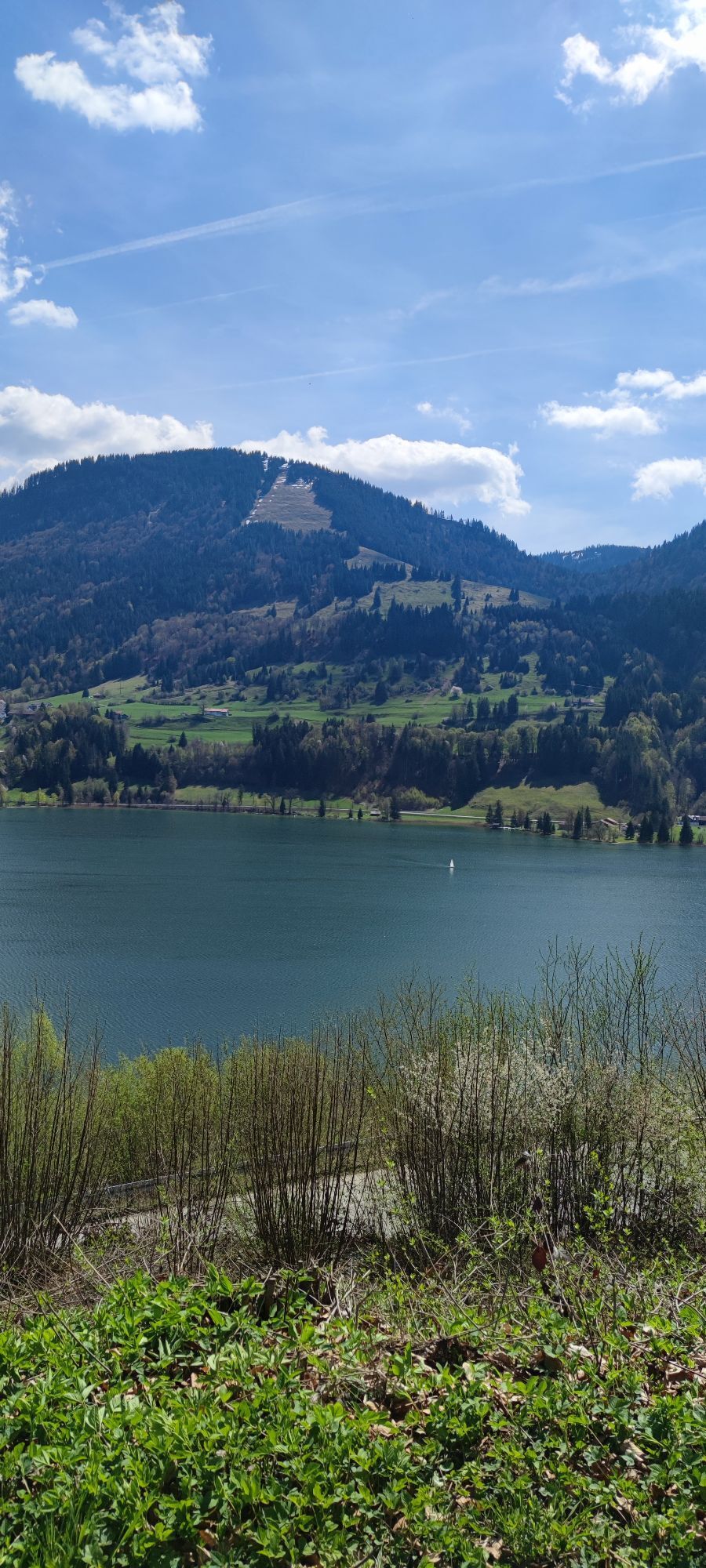
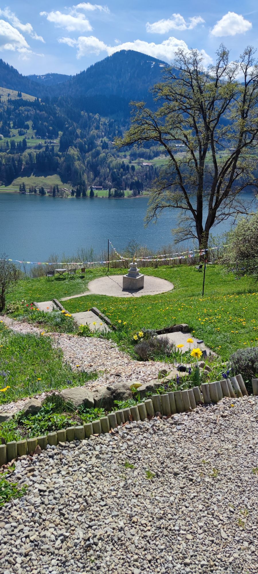
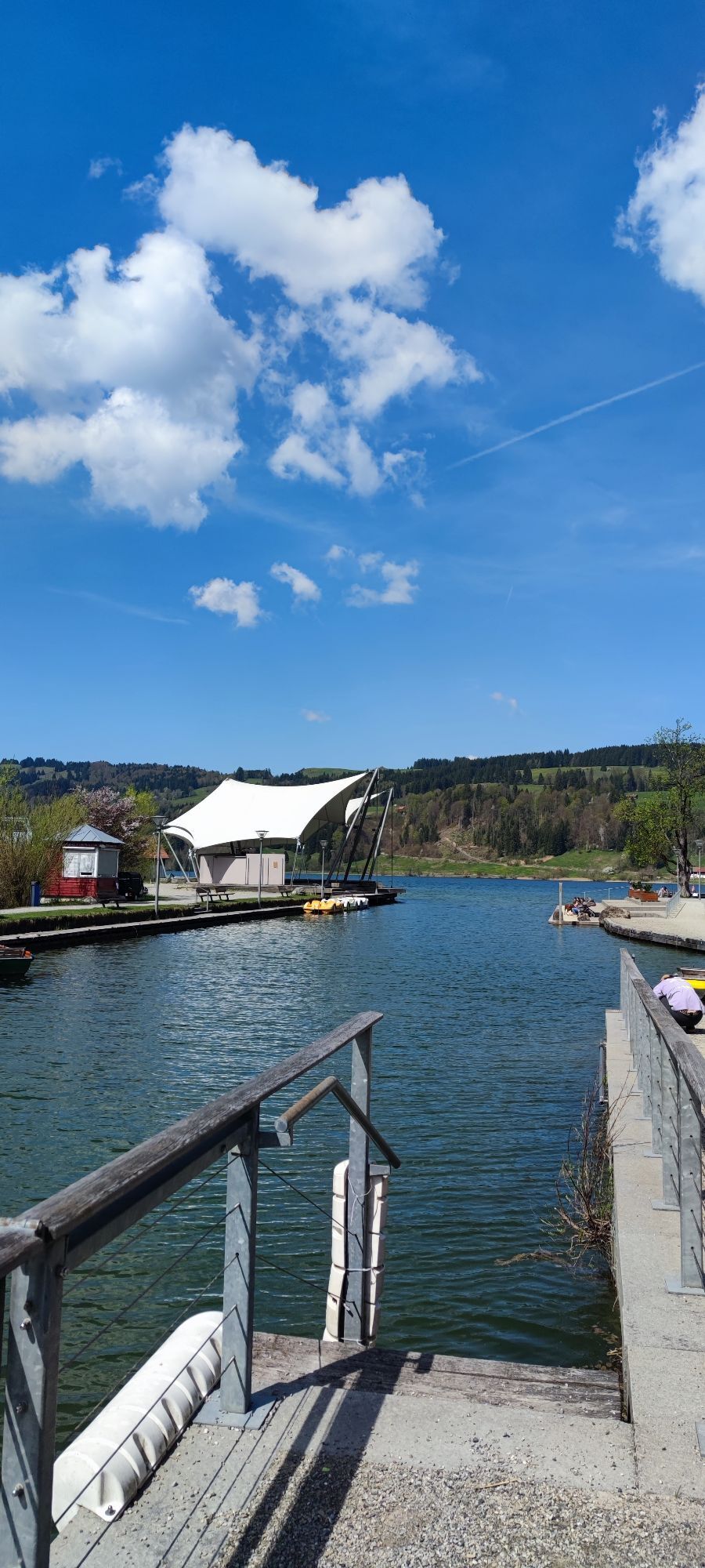
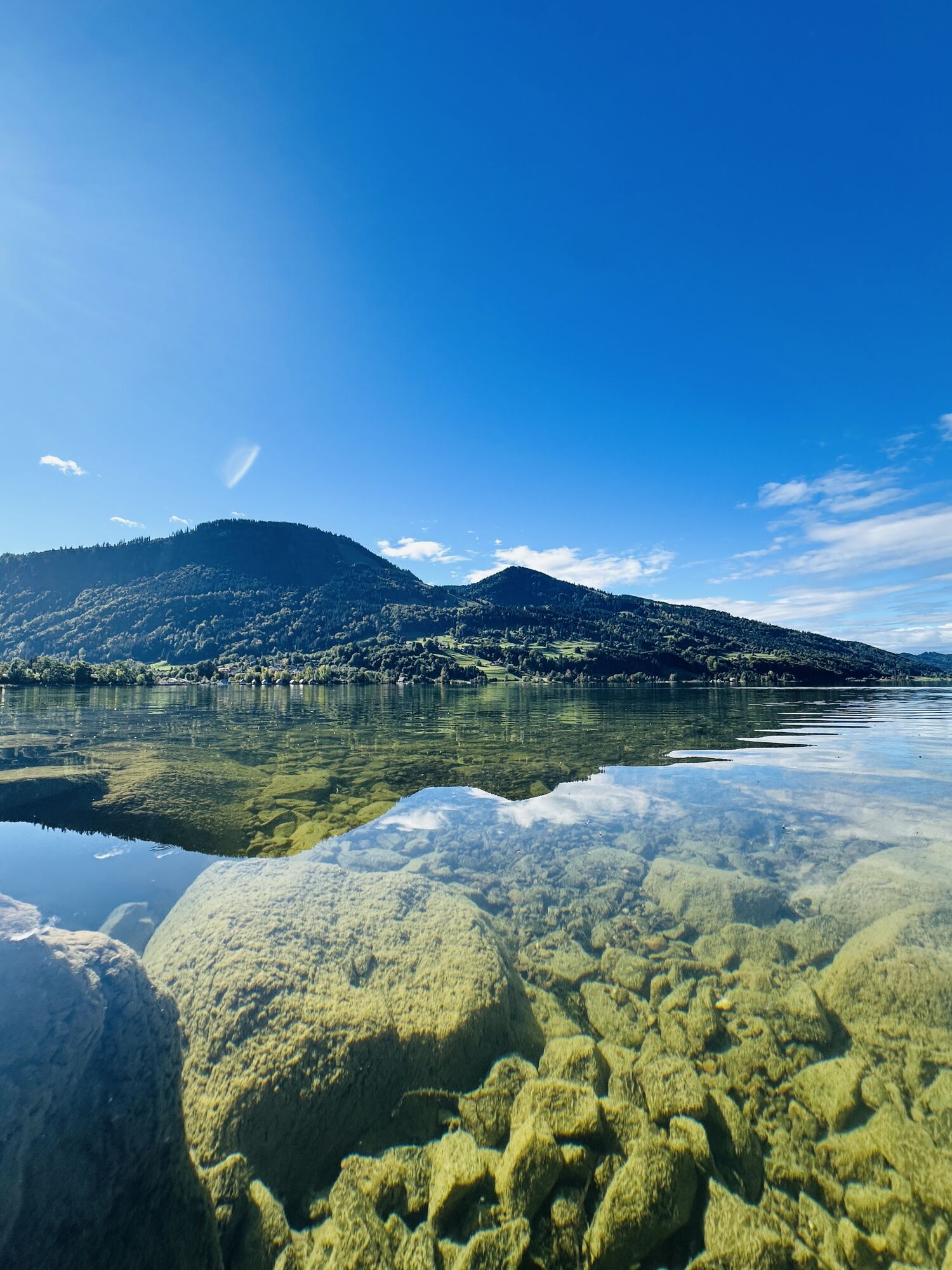
The start is at the train station, from there over the railway line on Immenstädter Straße towards the outskirts. Downhill on the bike/pedestrian path to Wengen up to the tunnel. Then turn left into the...
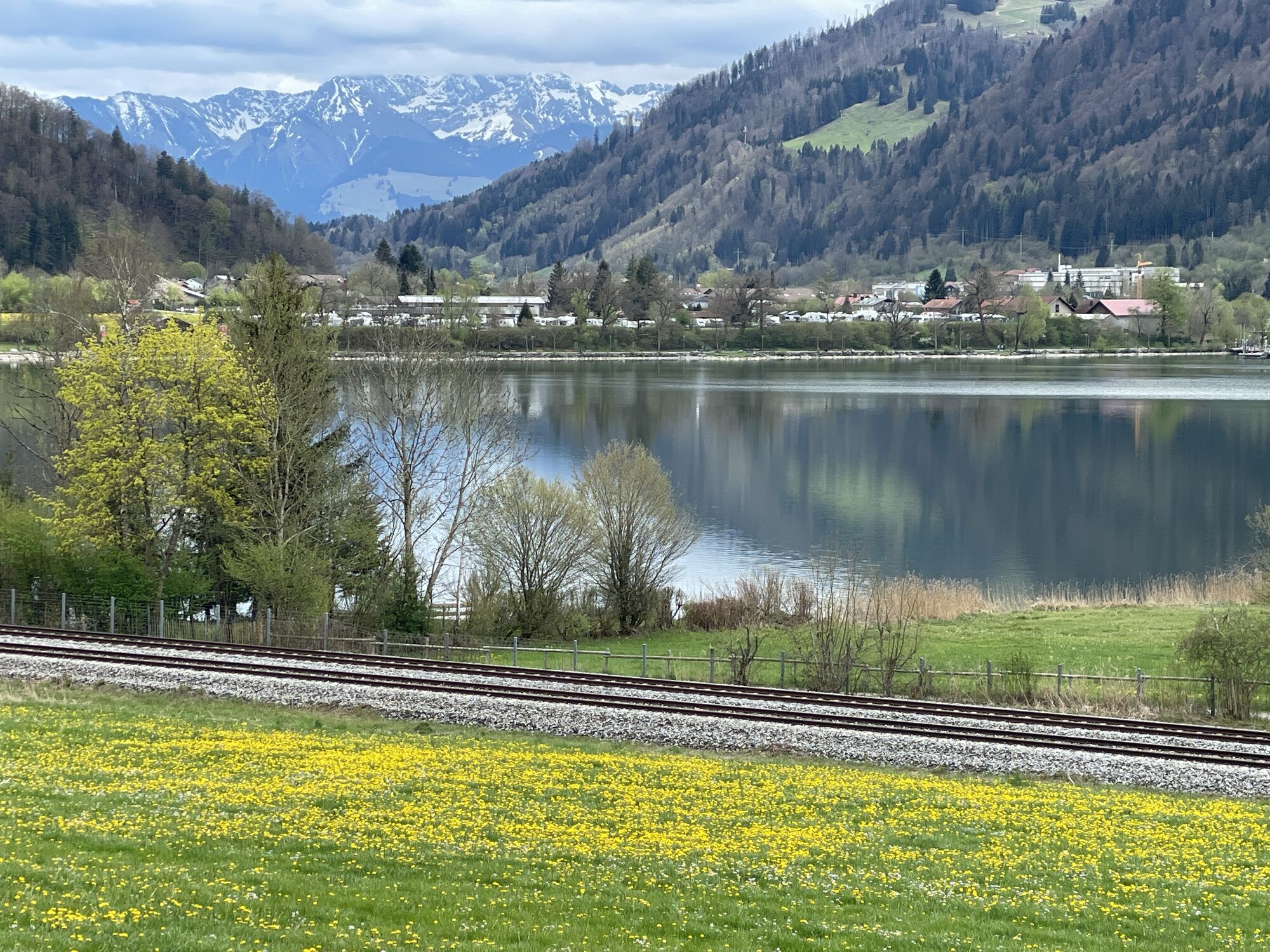
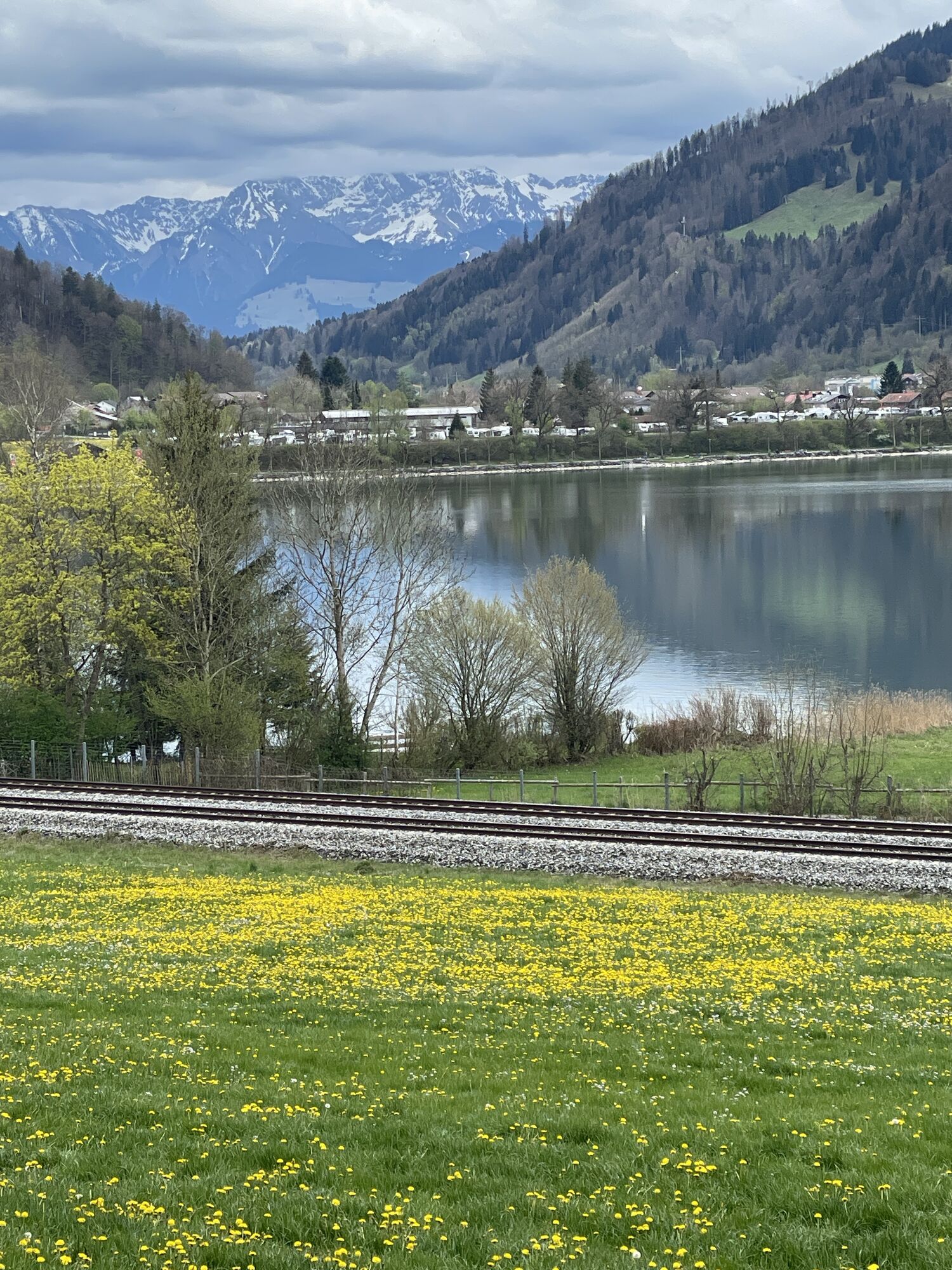
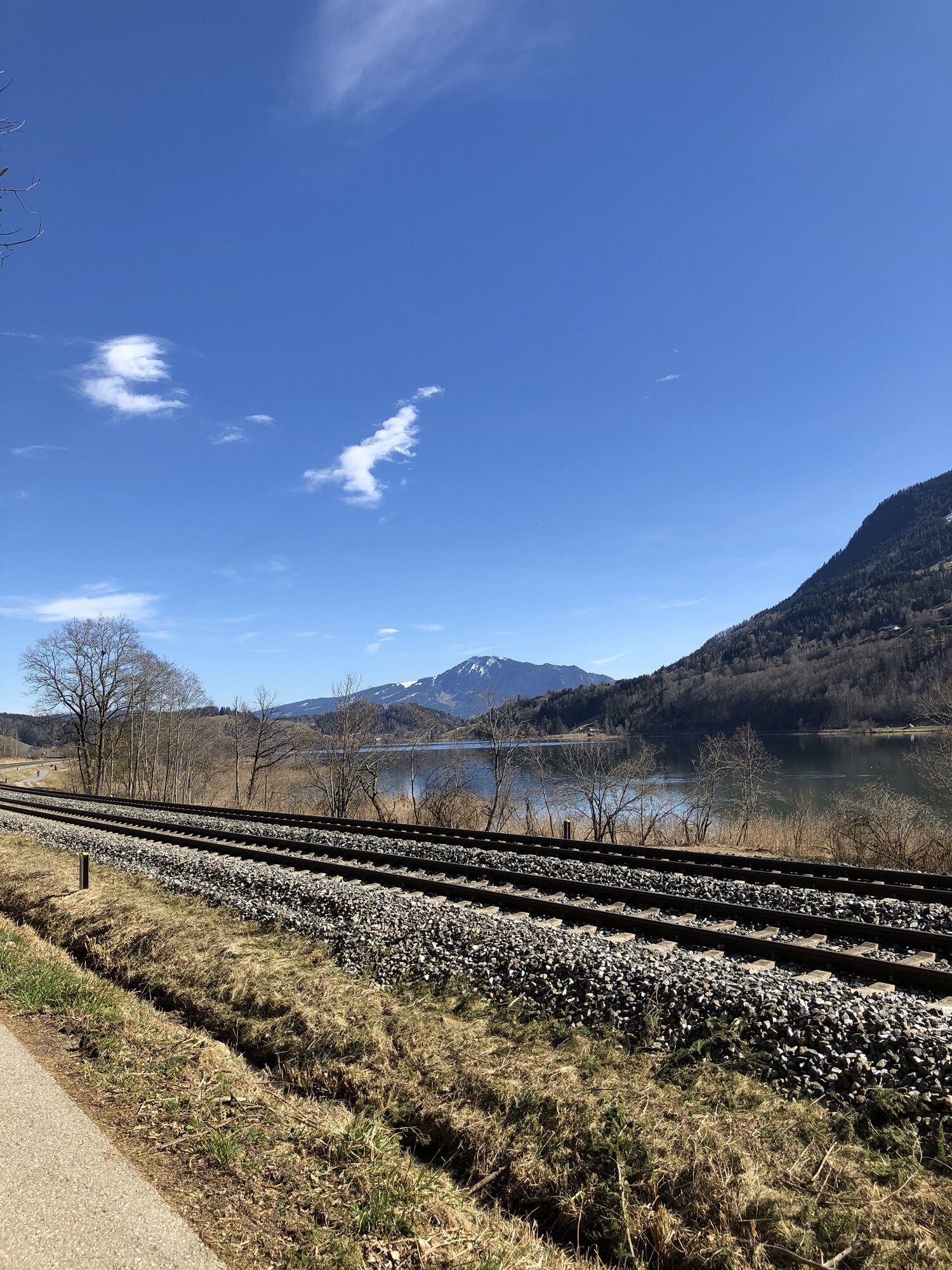
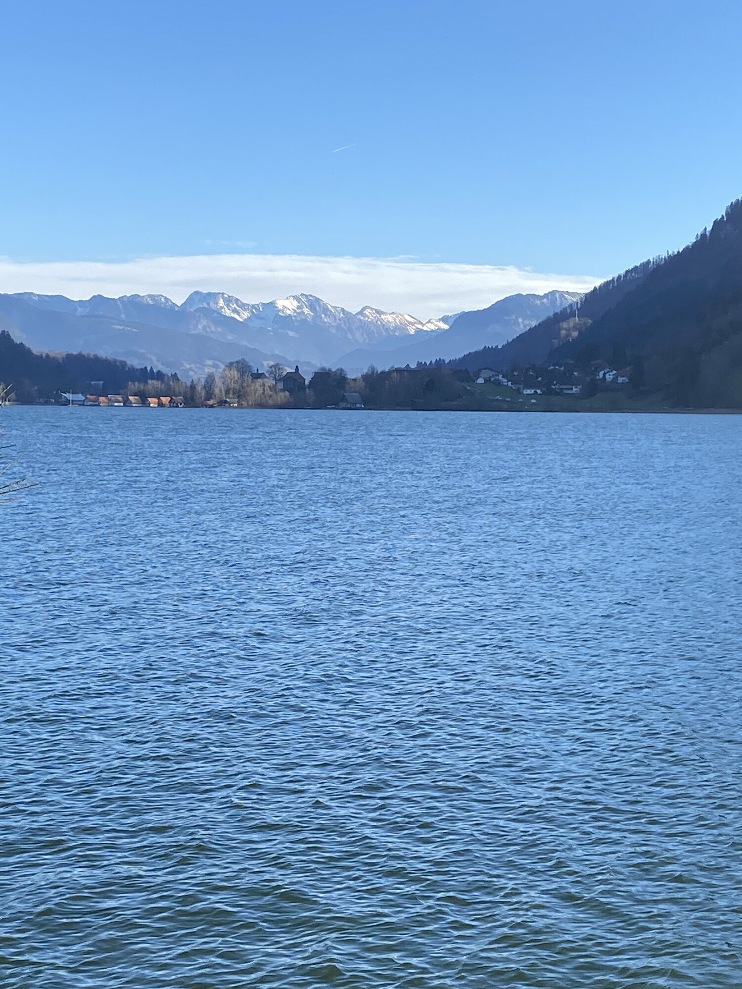
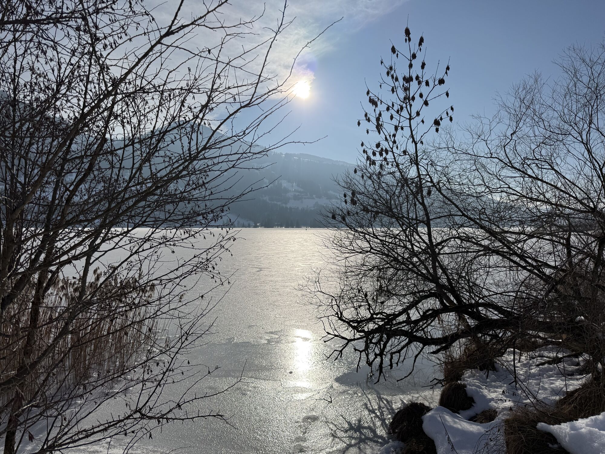
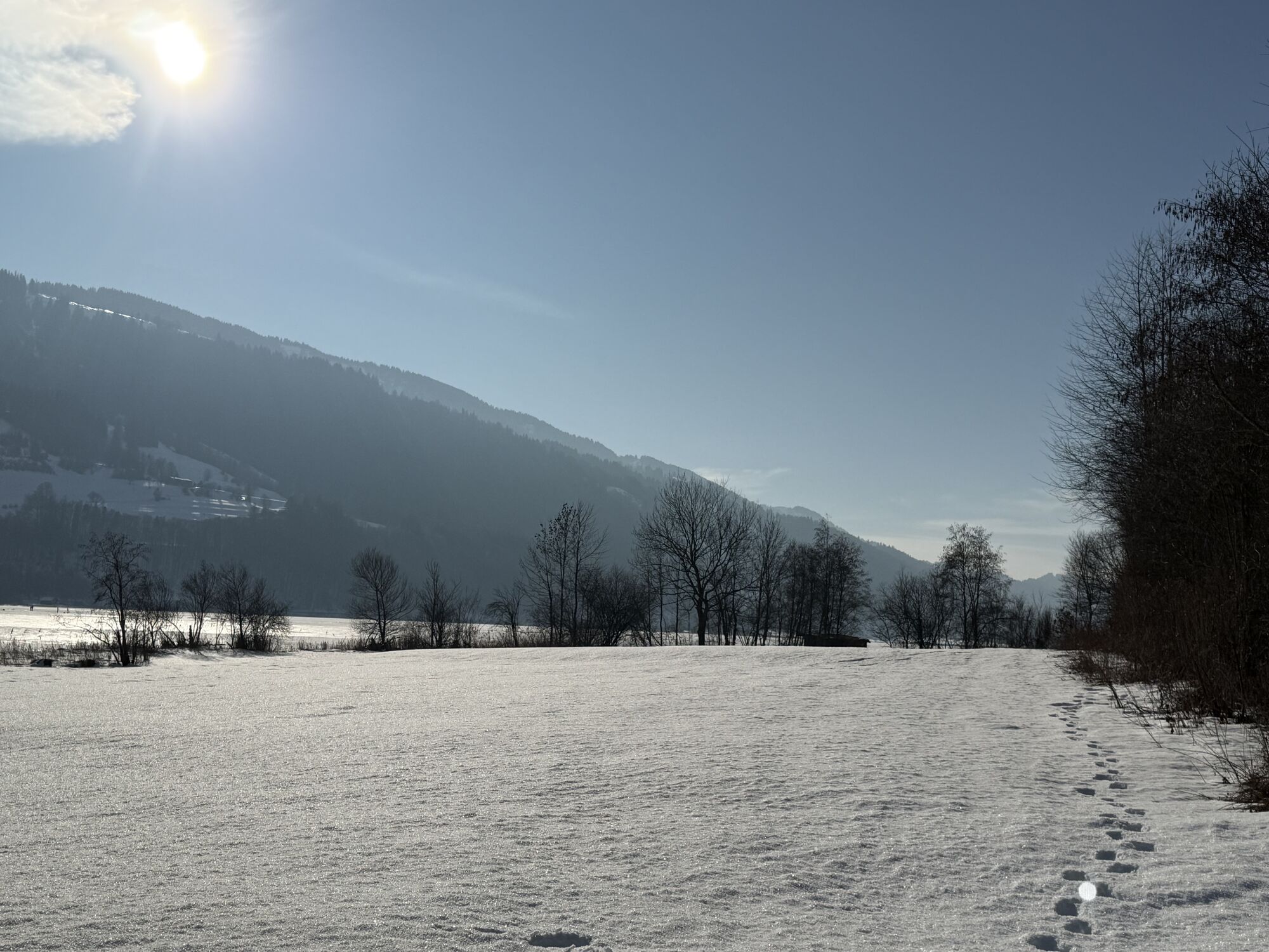
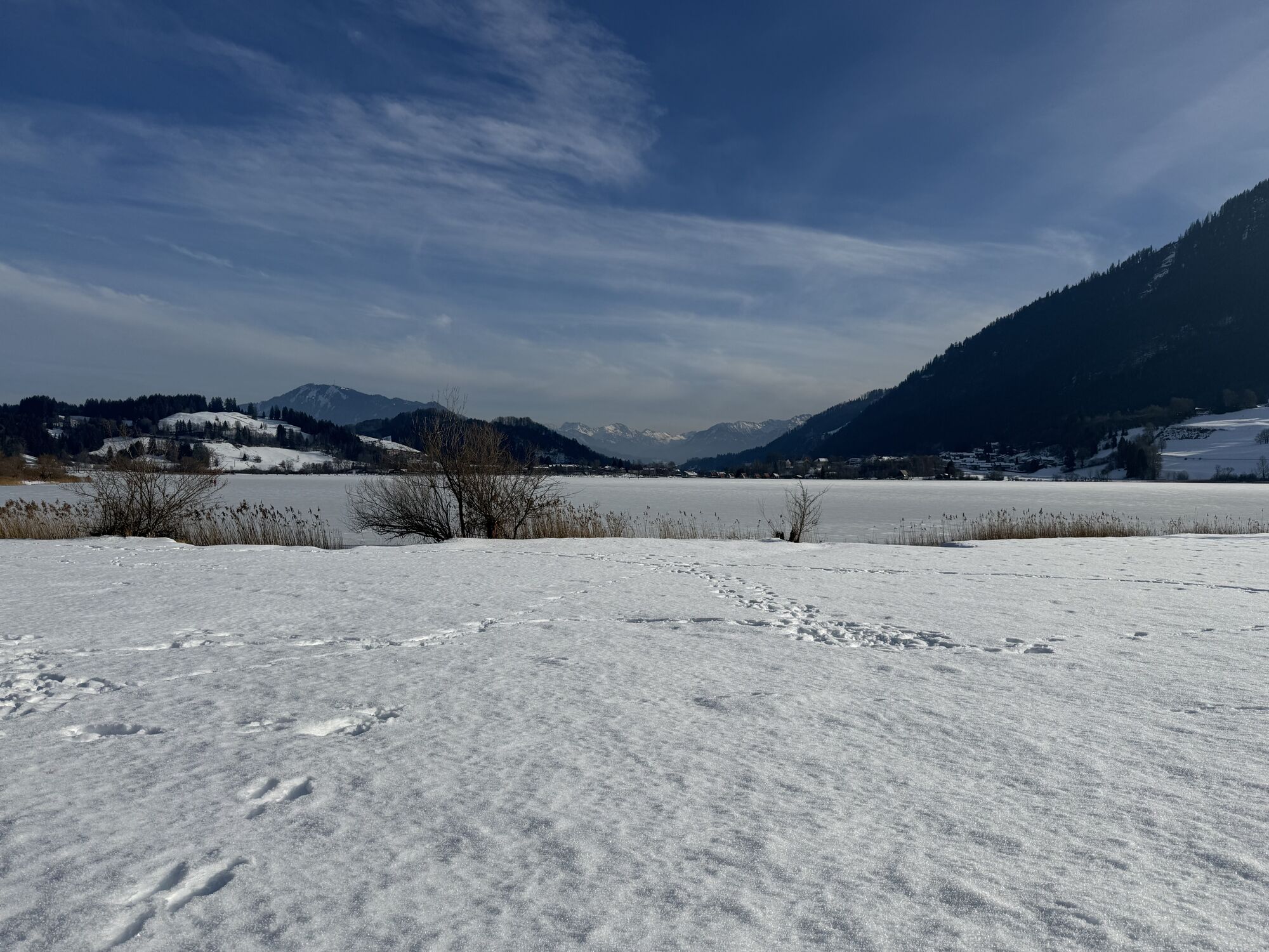
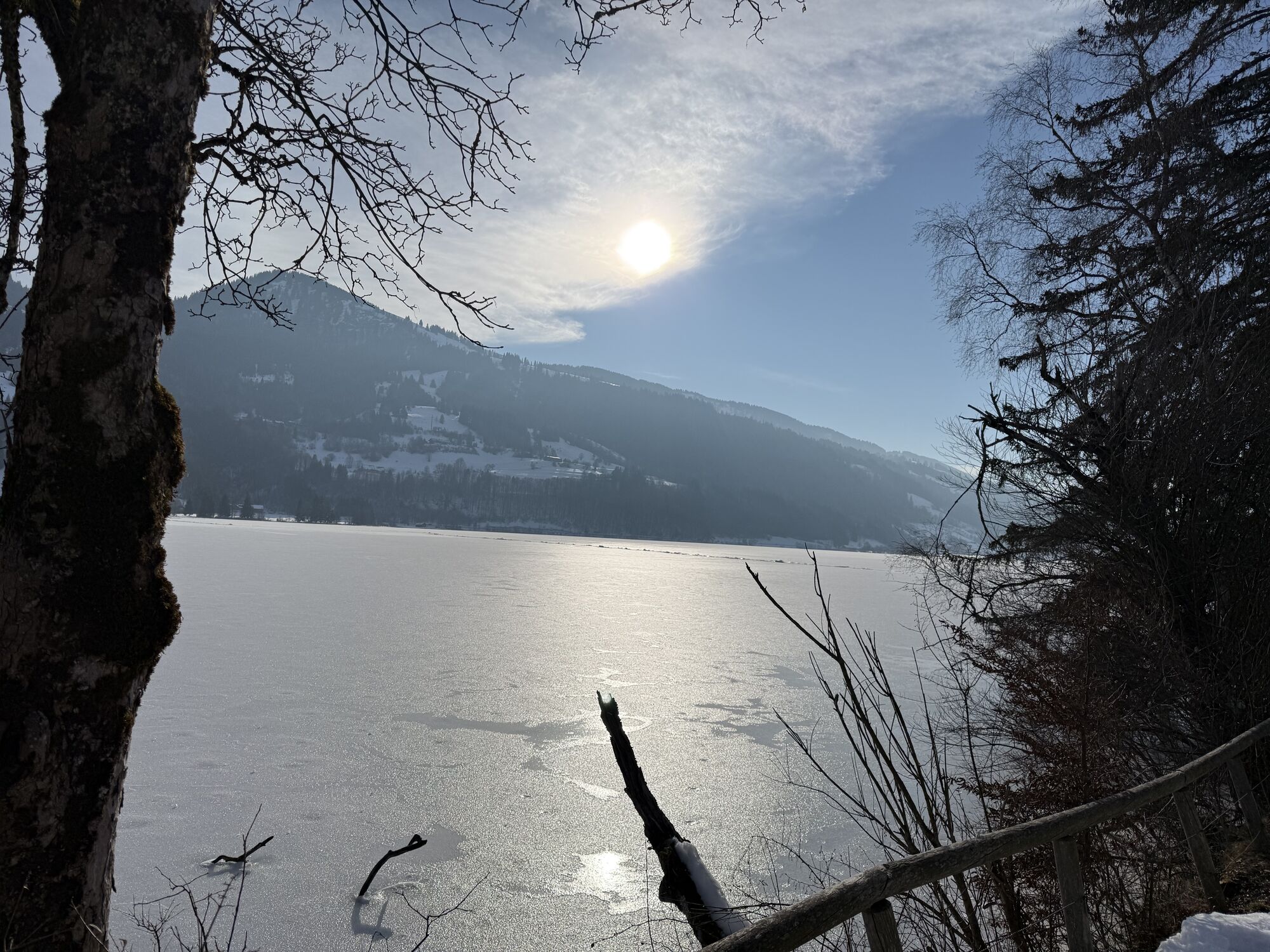
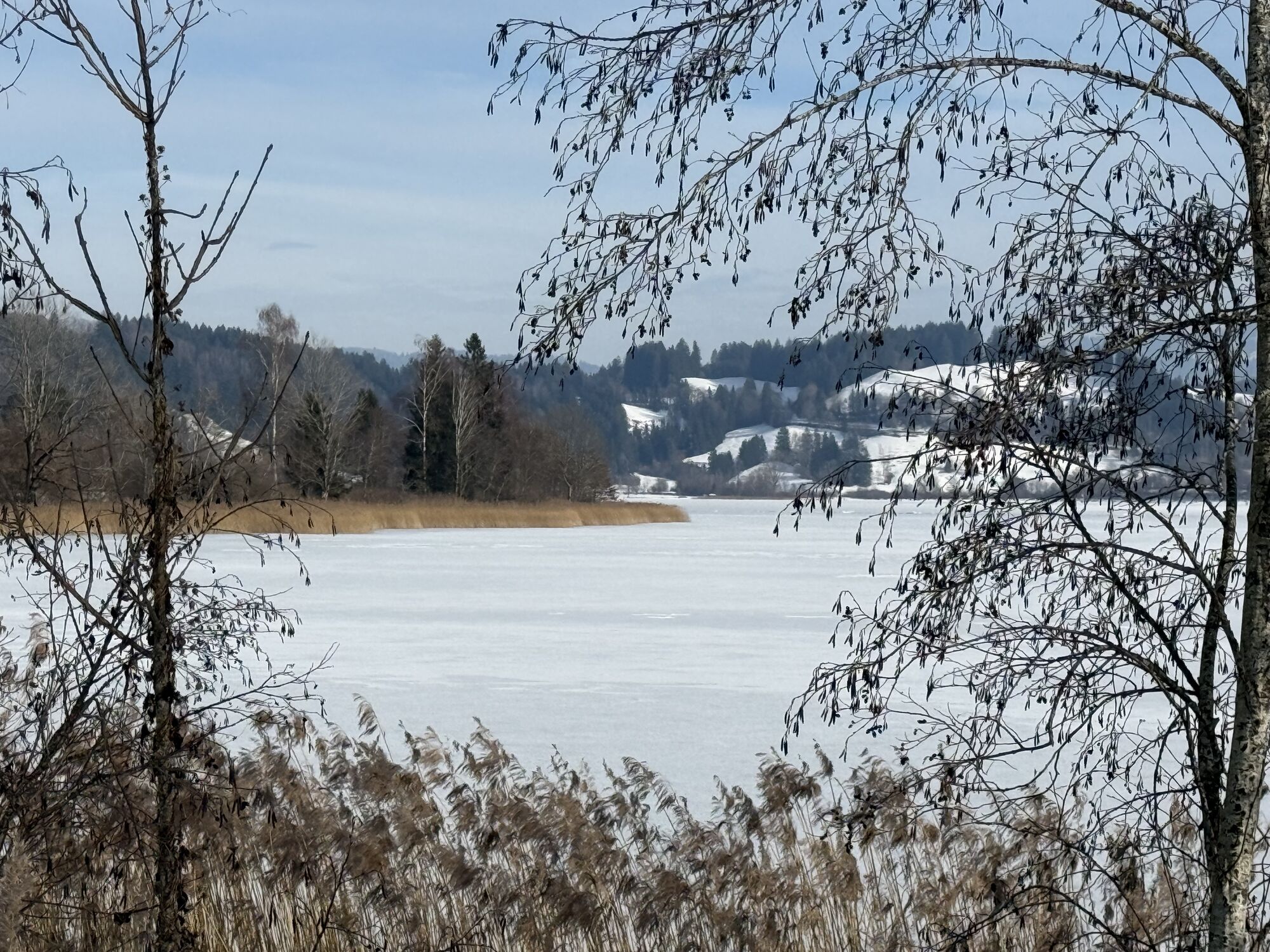
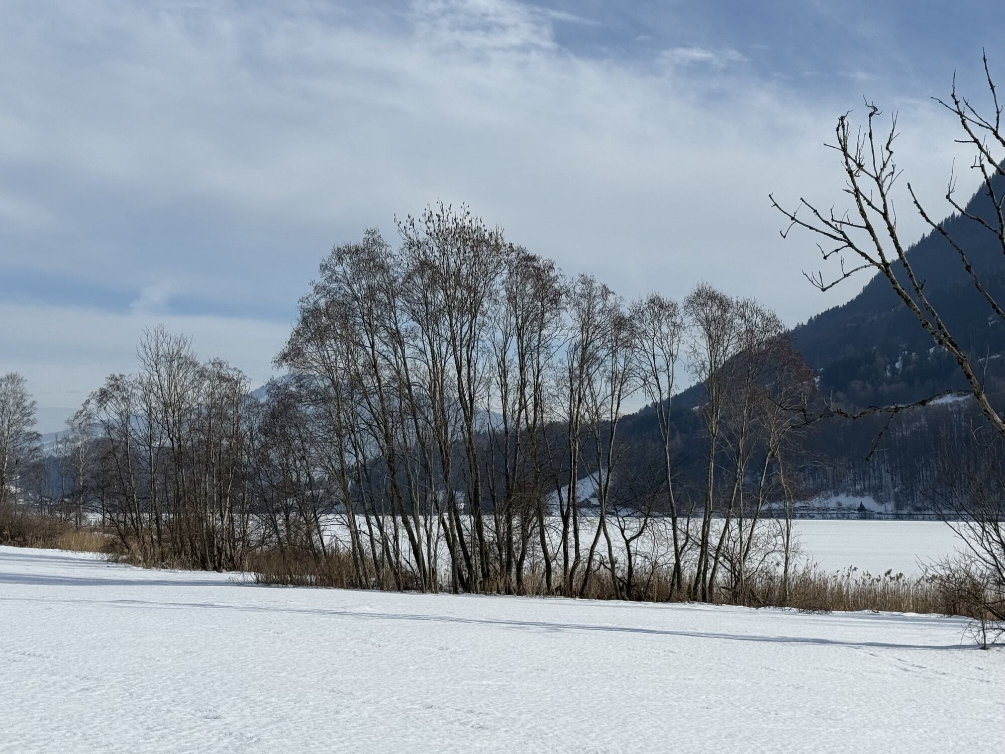
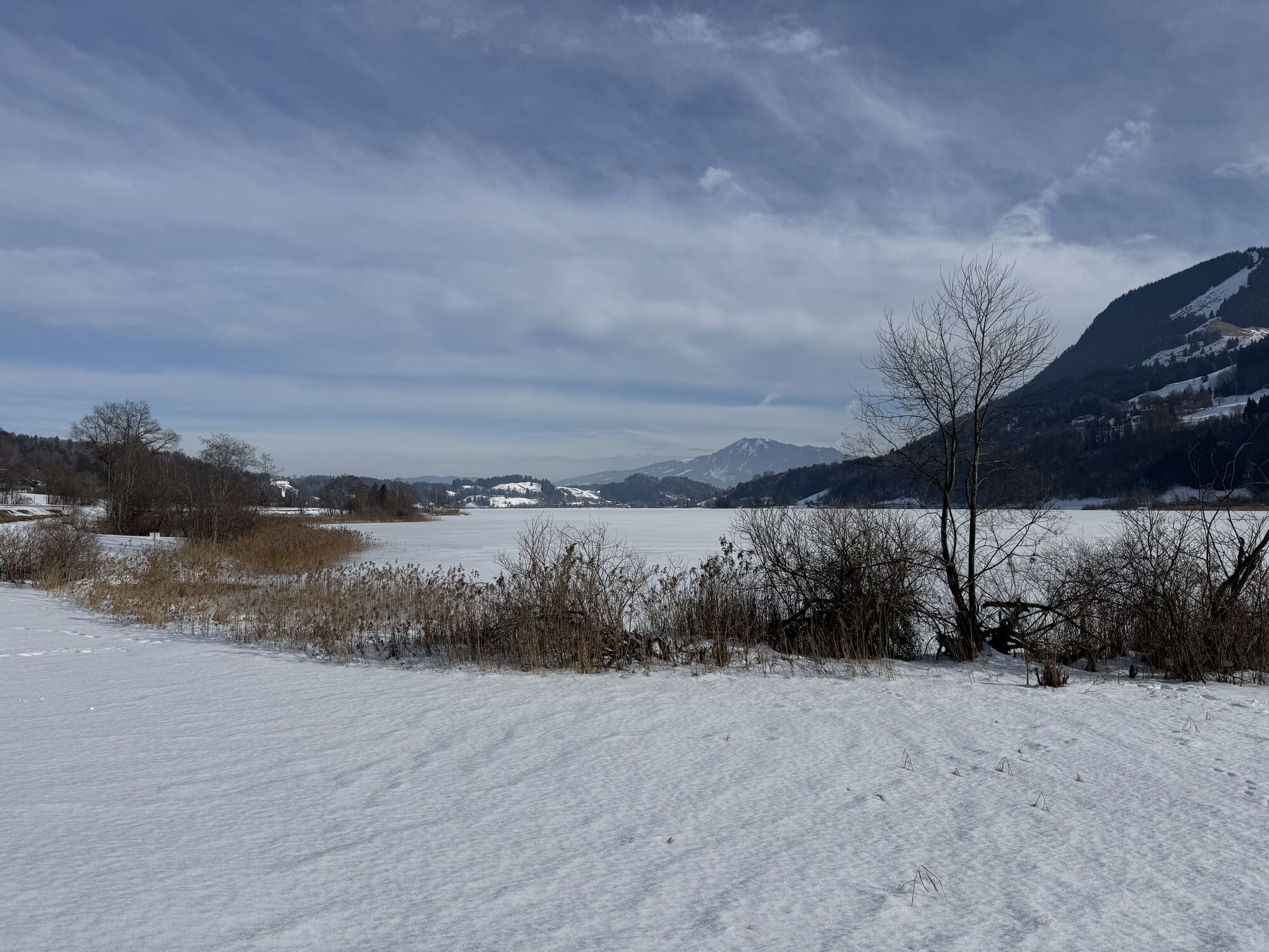
The start is at the train station, from there over the railway line on Immenstädter Straße towards the outskirts. Downhill on the bike/pedestrian path to Wengen up to the tunnel. Then turn left into the "Alte Salzstraße" and continue via Knechtenhofen, Salmas, Lamprechts, and Wiedemannsdorf to just before the B 308. On the local road along the railway line via Ratholz and Trieblings to the eastern shore of the Alpsee. Beautiful views of the lake as well as to Grünten, the guardian of the Allgäu, accompany this section.
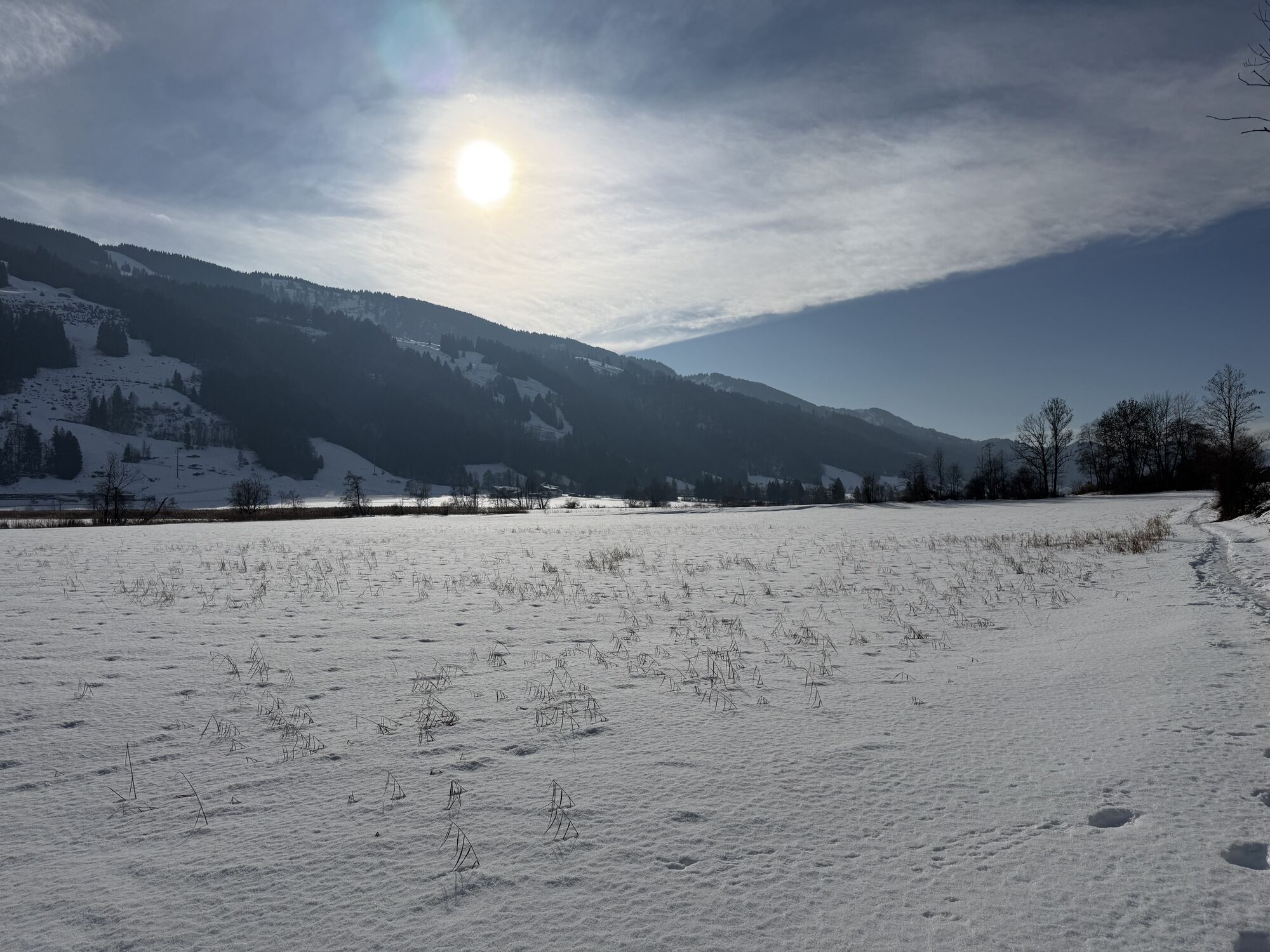
Back initially again via Trieblings and Ratholz on the same path to the end of the local road. There left to the B 308 and through the underpass to Konstanzer. Via Osterdorf to Thalkirchdorf and further to the valley station of the ski lifts. Straight ahead along the Konstanzer Ach to the parking lot of the Hündlebahn.
At the roundabout this time follow the signs to Bad Rain and from there over a short, steep climb back to the train station. Alternatively, choose the outbound route.

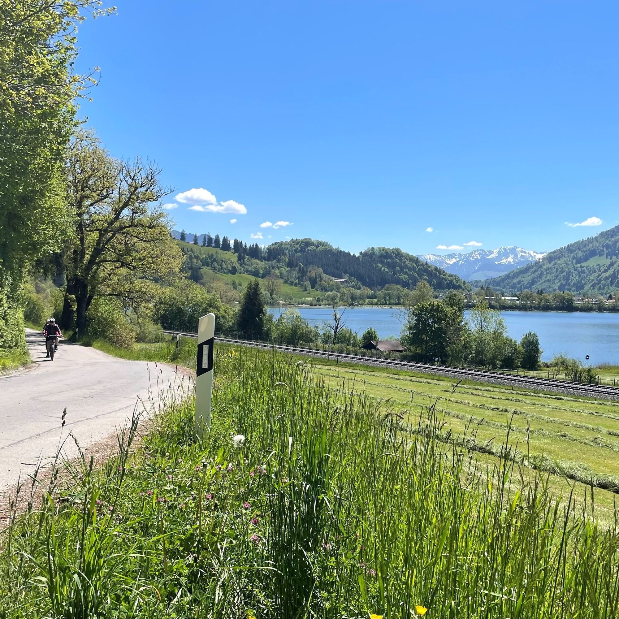
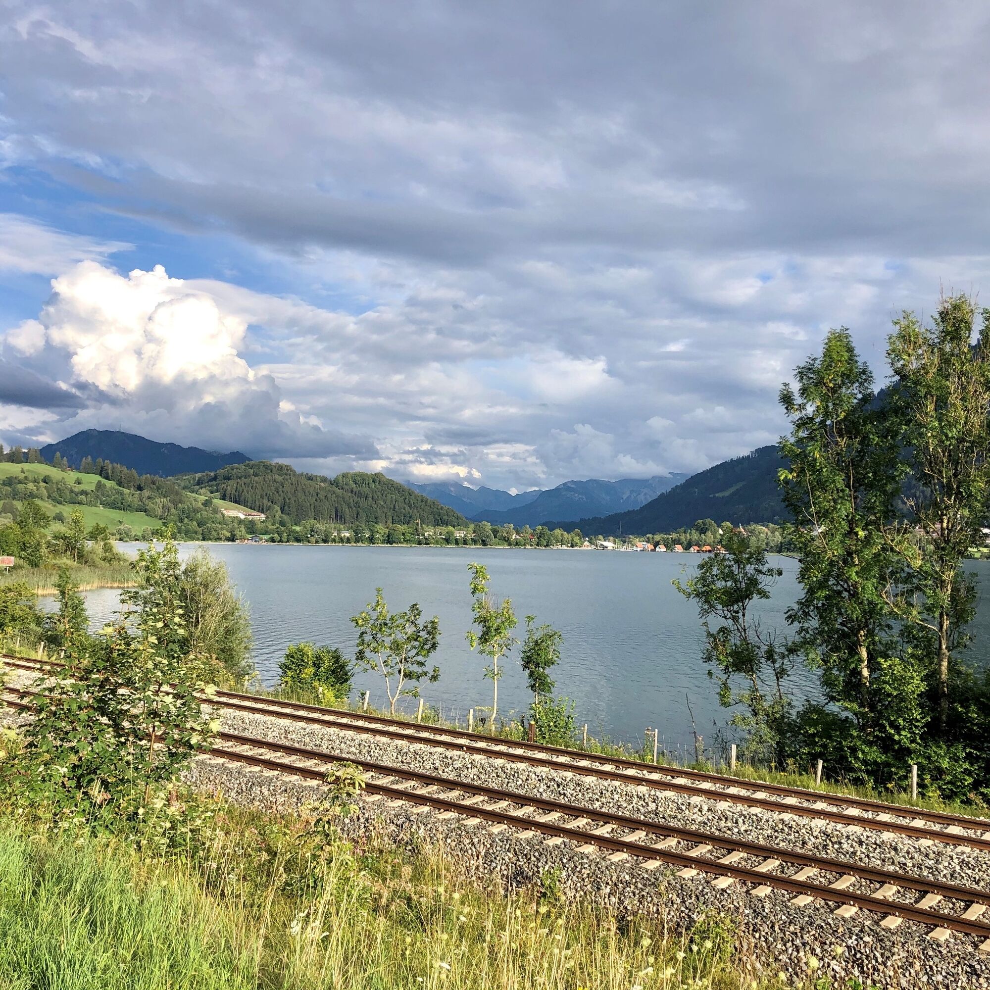
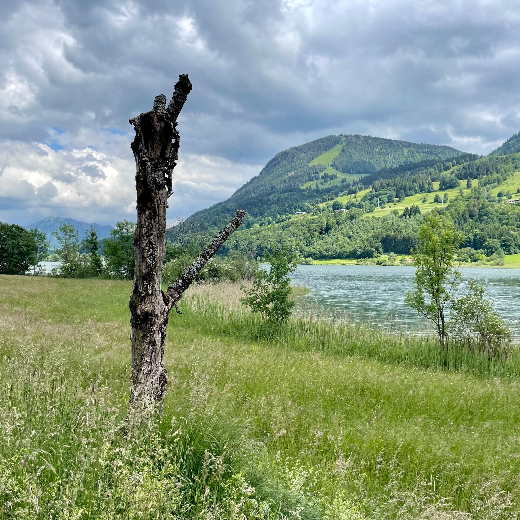
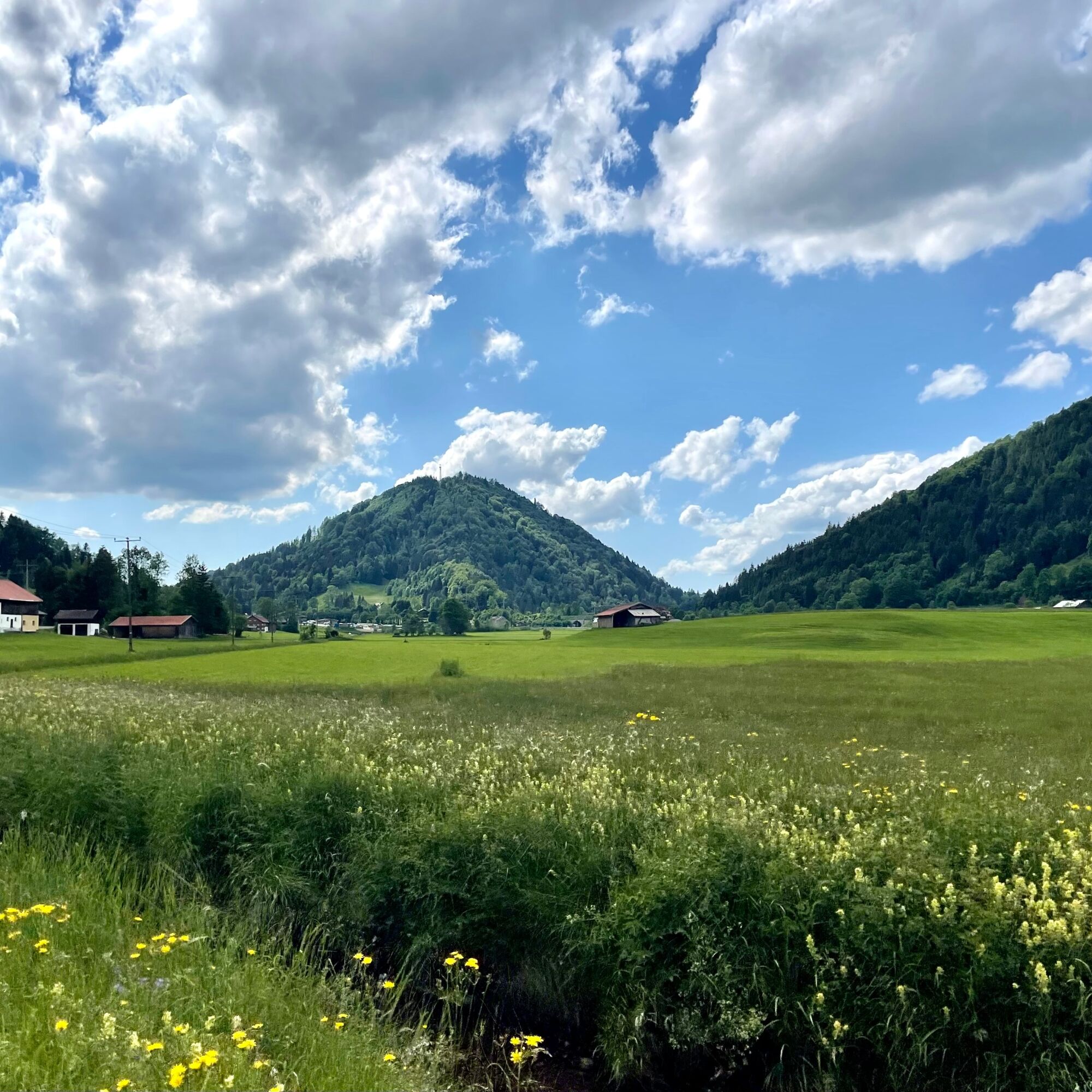
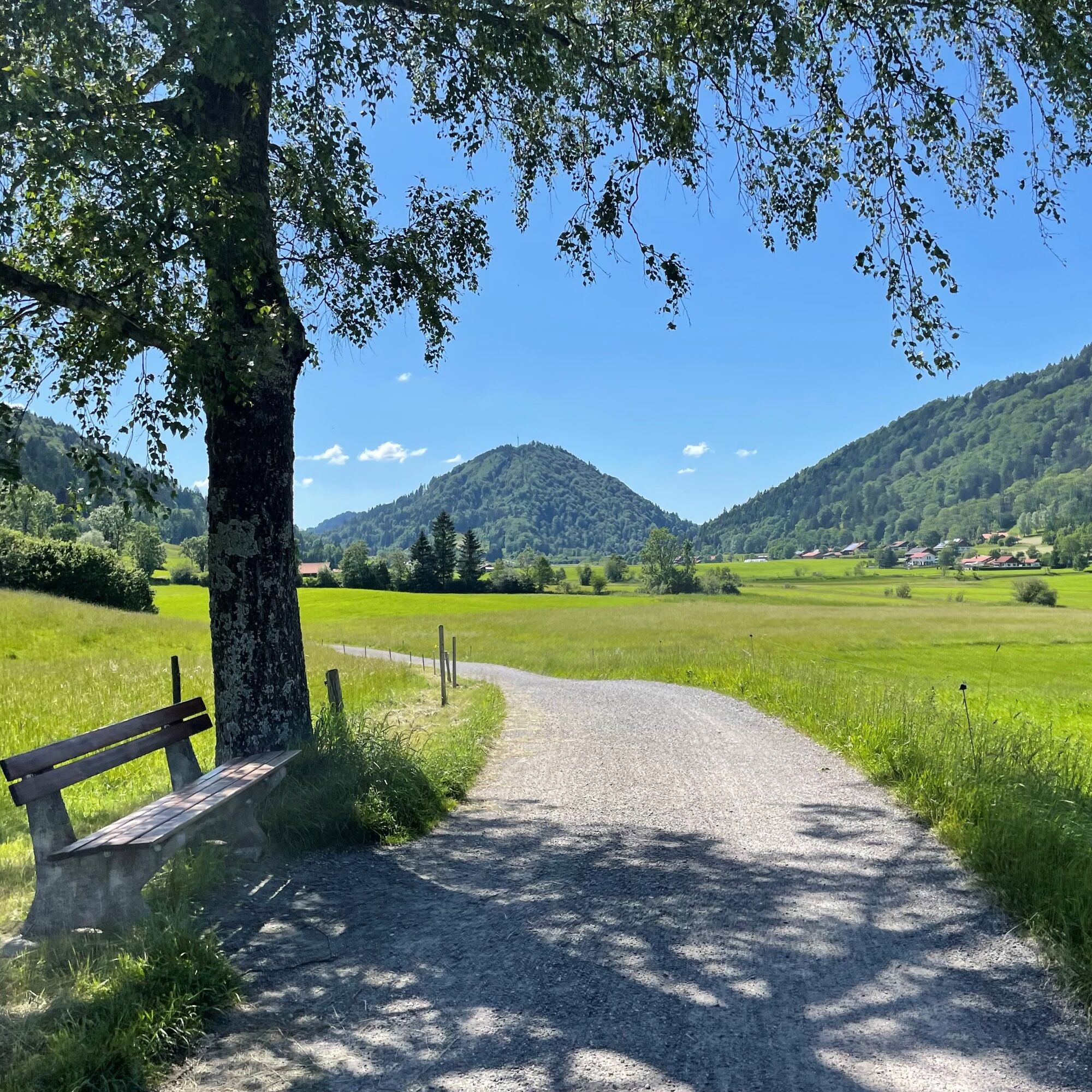

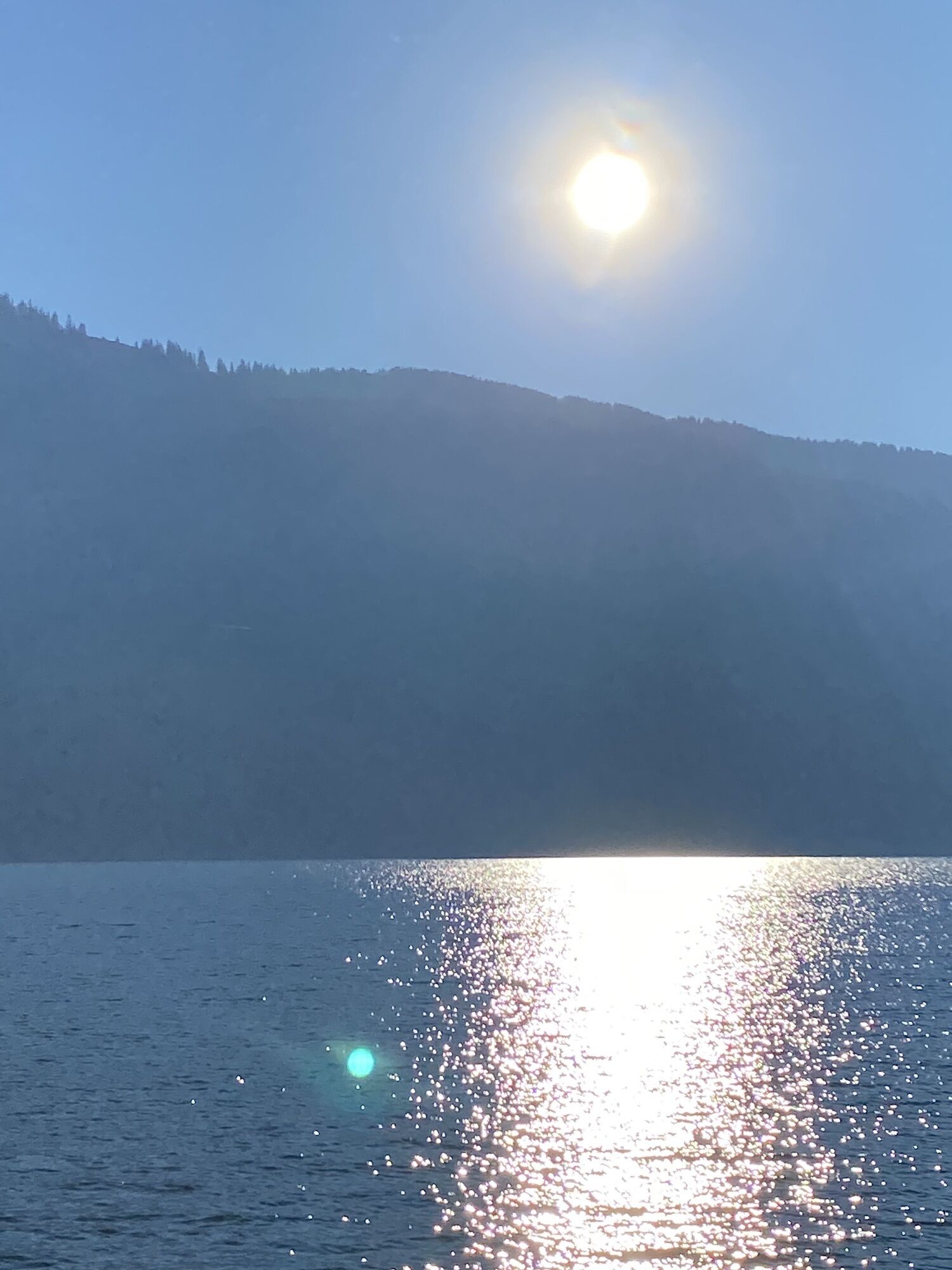
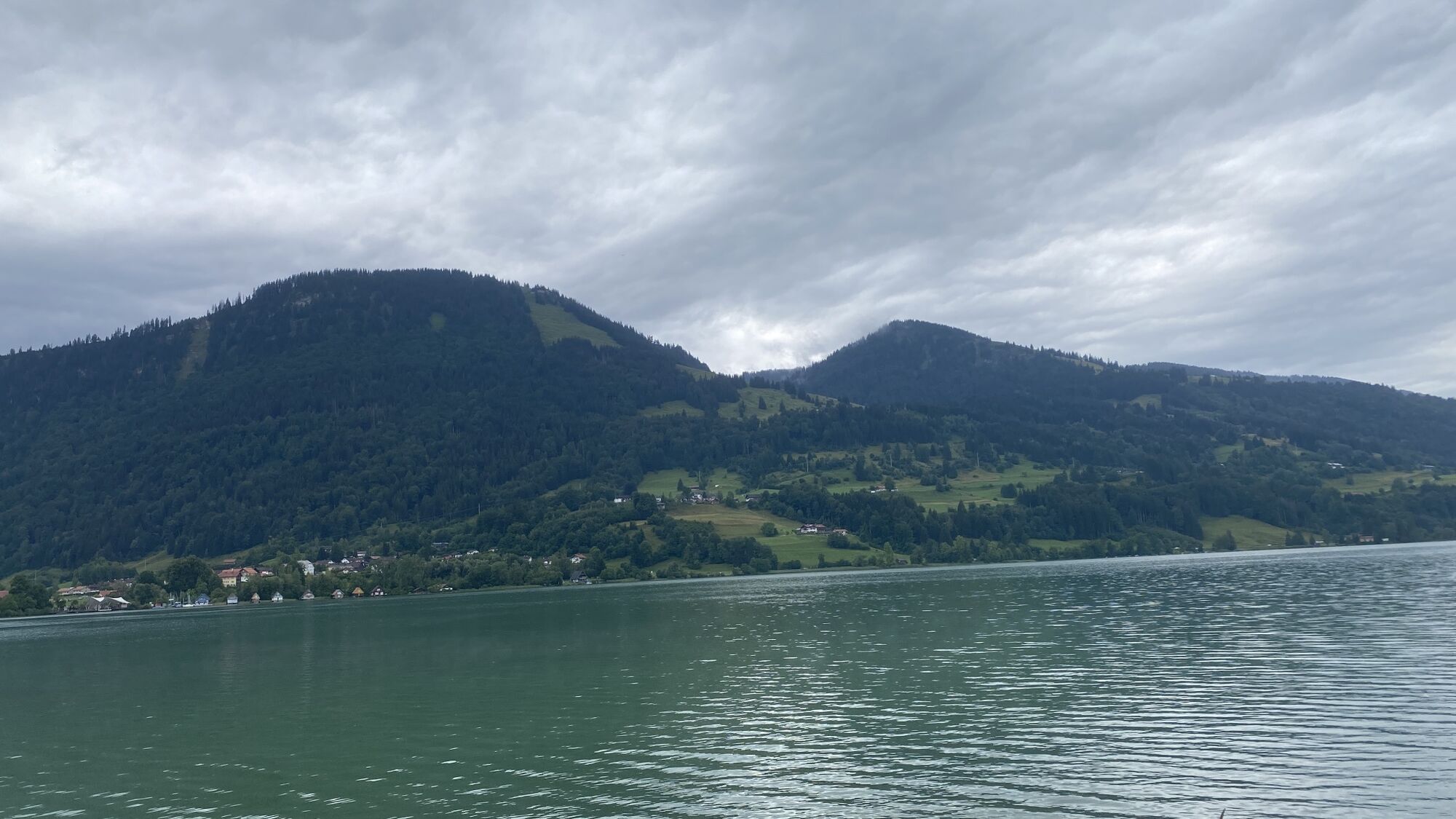
From the train station via Immenstädter Straße towards the outskirts. Downhill on the bike/pedestrian path to Wengen up to the tunnel. Then left onto the "Alte Salzstraße" and via Knechtenhofen, Salmas, Lamprechts, and Wiedemannsdorf to just before the B 308. Here left onto the local road and along the railway line via Ratholz and Trieblings to the eastern shore of the Alpsee. Beautiful views of the lake accompany this section.
Back initially again via Trieblings and Ratholz on the same path to the end of the local road. There left to the B 308 and through the underpass to Konstanzer. Via Osterdorf to Thalkirchdorf and further to the valley station of the ski lifts. Straight ahead along the Konstanzer Ach to the parking lot of the Hündlebahn.
At the roundabout this time follow the signs to Bad Rain and from there over a short, steep climb back to the train station. Alternatively, choose the outbound route.
Da
2
Note: The route is not explicitly signposted, GPX data is available for navigation.
A visit to the Alpseehaus with the nature park center is recommended. There, you can learn about the special features in the Nagelfluhkette Nature Park and visit the exhibition on fauna and flora. Nearby, you will find a miniature golf course, a boat rental, as well as the possibility to swim and/or stop for a meal.

Spletne kamere s turneje
-
Oberstaufen
-
Skilifte Sinswang
-
Oberstaufen - Biohotel Schratt
-
Oberstaufen - Biohotel Schratt
-
Segelclub Alpsee
-
Oberstaufen
-
Segelclub Alpsee
-
Mittaggipfel
-
Alpe Hohenschwand
-
Oberstaufen
-
Thaler Höhe
-
Oberstaufen - Rosenalp
-
Hündlebahn Bergstation
-
Thaler Höhe
-
Oberstaufen
-
Missen-Börlas
-
Ortsansicht Missen
-
Alpsee Bergwelt
-
Alpsee Bergwelt
-
Alpsee Bergwelt - Bärenfalle
Pridobite vpogled
Vedno v živo na mestu z več kot 9.500 spletnimi kamerami. bergfex Kot uporabnik Pro si lahko zdaj ogledate ustrezne spletne kamere za številne izlete v aplikaciji izleti iz. Tako si lahko neposredno ogledate trenutne razmere.

Priljubljeni izleti v okolici
-
4.7
Steibis - Buchenegger Waterfalls
srednjaPohodništvo 6.47 km -
4.3
Starzlachklamm
srednjaPohodništvo 5.30 km -
5.0
Nagelfluh ridge route Hochgrat - Mittag
težkoPohodništvo 14.0 km -
4.7
Rindalphorn und Hochgrat
srednjaPohodništvo 15.6 km -
4.9
Immenstädter Horn
svetlobaPohodništvo 9.35 km -
5.0
Siedelalpe Runde von See - Immenstadt
svetlobaPohodništvo 10.3 km -
3.7
Rundtour Mittag
svetlobaPohodništvo 15.7 km -
4.5
Immenstädter Horn - Gschwender Horn
svetlobaPohodništvo 10 km -
4.4
Circular route Steibis to Dreiländerblick
srednjaPohodništvo 7.95 km -
4.5
Circular route Hündle to the Buchenegger Waterfalls
srednjaPohodništvo 9.69 km
Pohodništvo in sledenje


Ne zamudite ponudb in navdiha za naslednje počitnice
Vaš e-poštni naslov je bil dodan na poštni seznam.





