


Schwarzentennalm round (terrain cure path)
Stopnja težavnosti: 3
Medium-length circular route with a total ascent of 181 meters. Mostly slight to moderate, with short sections of steep ascent. Average energy consumption: approx. 370 kcal
Requirements due to climate:...
Medium-length circular route with a total ascent of 181 meters. Mostly slight to moderate, with short sections of steep ascent. Average energy consumption: approx. 370 kcal
Requirements due to climate: low
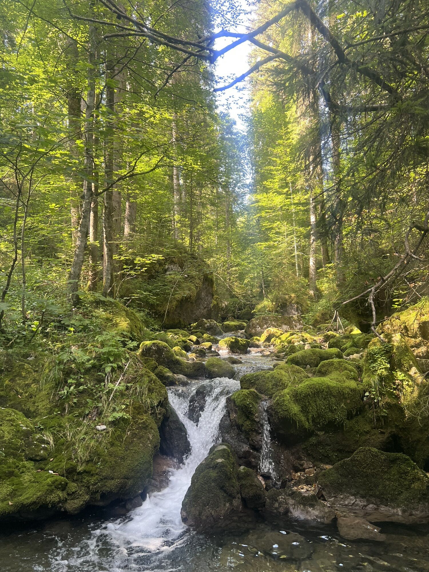
Path in the forest protected from sun and excessive cooling by wind.
The terrain cure path has been physiologically and bioclimatically examined by the German Weather Service. On this medium to difficult route, the body is stimulated by increased solar radiation, climate change, and high energy demand. The terrain cure is a gentle form of movement therapy and part of climate therapy.

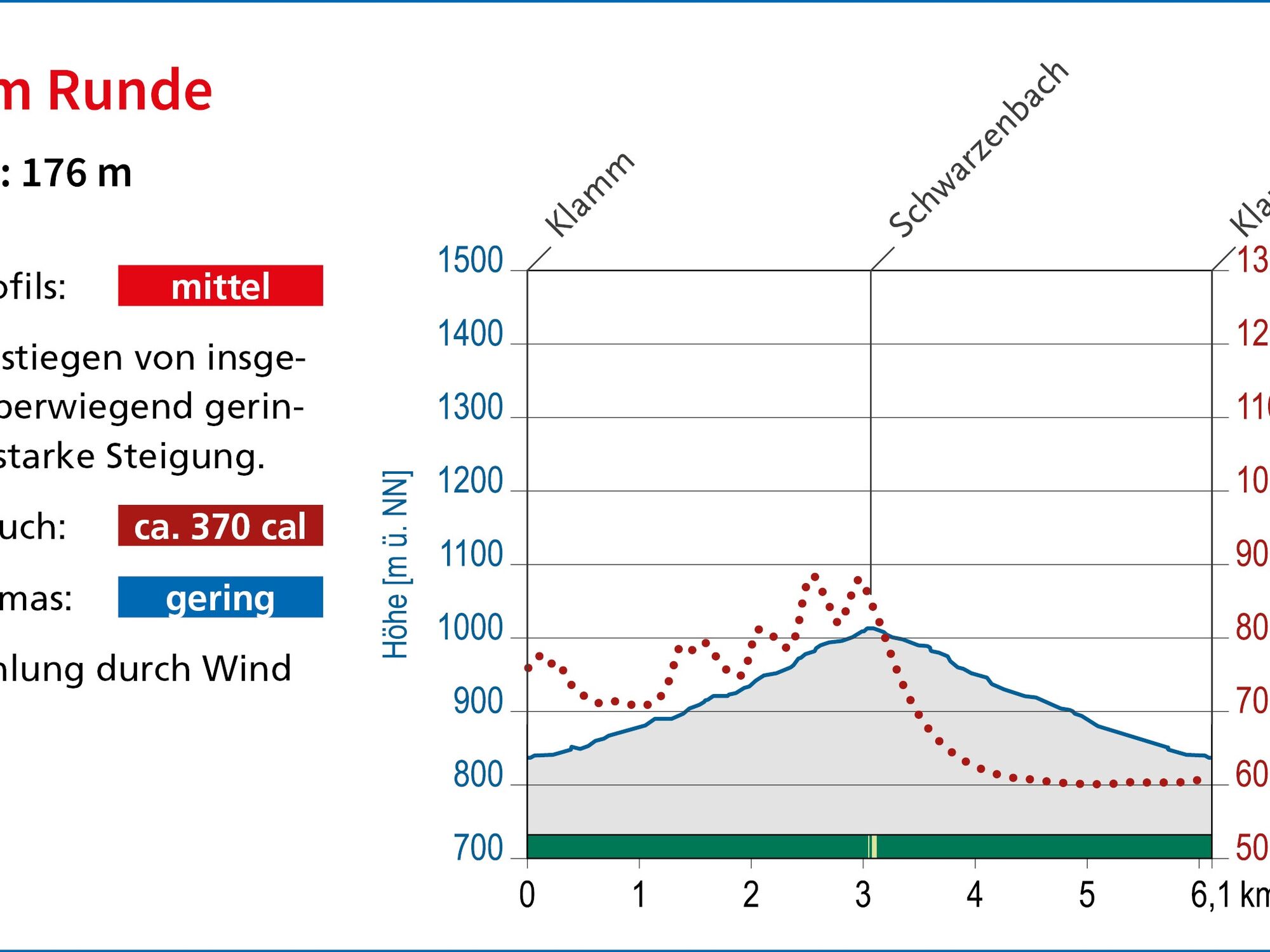
The route starts at the Klamm hiking car park. From there, it goes over the Boden adventure trail, steadily uphill along the Schwarzenbach towards Schwarzentennalm. At the Bucherhüttengraben junction (still before Schwarzentennalm) turn right, then shortly after turn right again and return on the other side of the stream to the starting point. In winter, only the forest road to Schwarzentennalm is passable and cleared.
Da
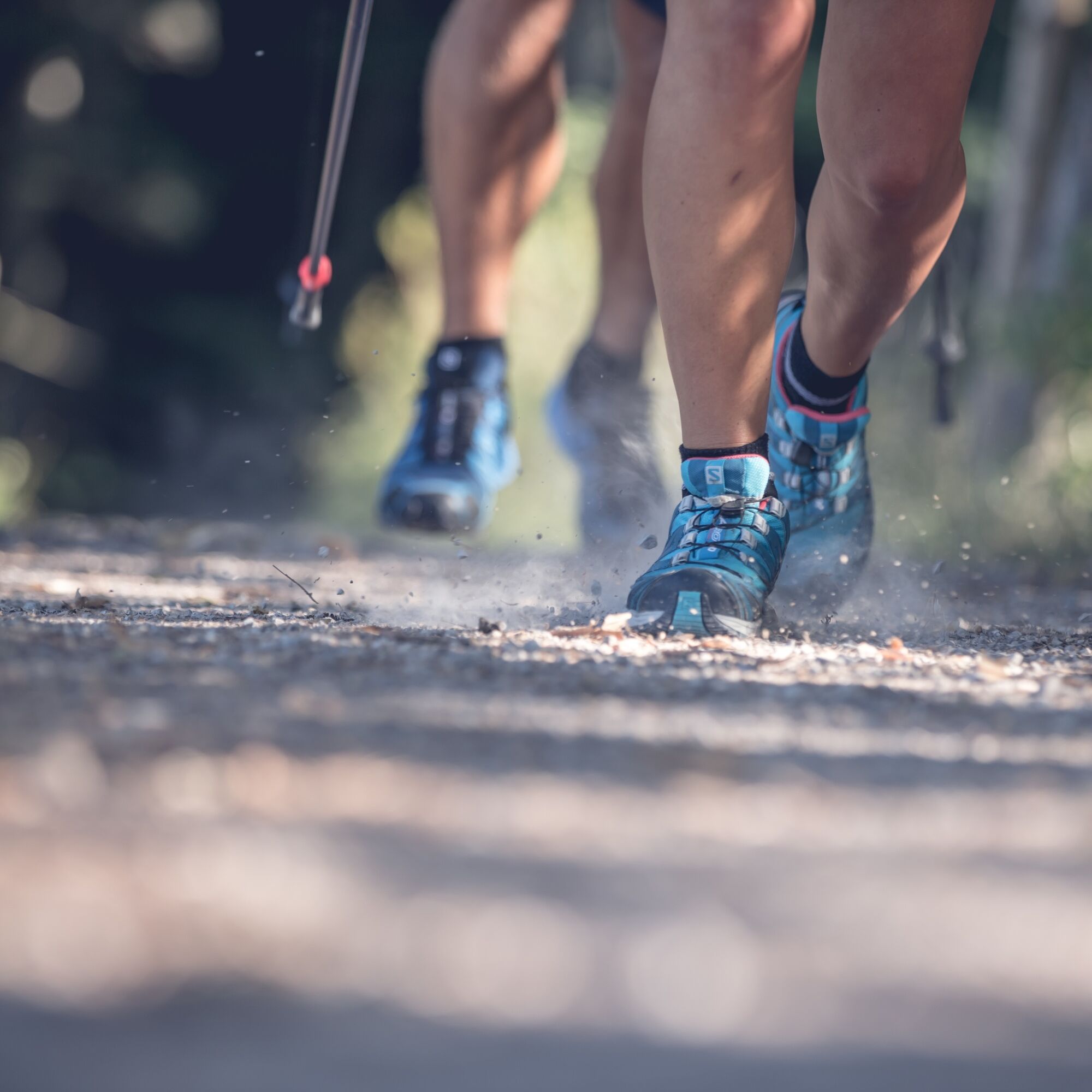
Sturdy footwear as well as weather-appropriate clothing, possibly rain jacket, water bottle, poles, first aid kit.
All information without guarantee. Walking and riding on the described routes is at your own risk.
A8 to Holzkirchen exit, via B318 to Kreuth
By MVV to Kreuth (bus stop Klamm-Winterstube).
Kreuth, Klamm-Winterstube hiking car park (paid)
3
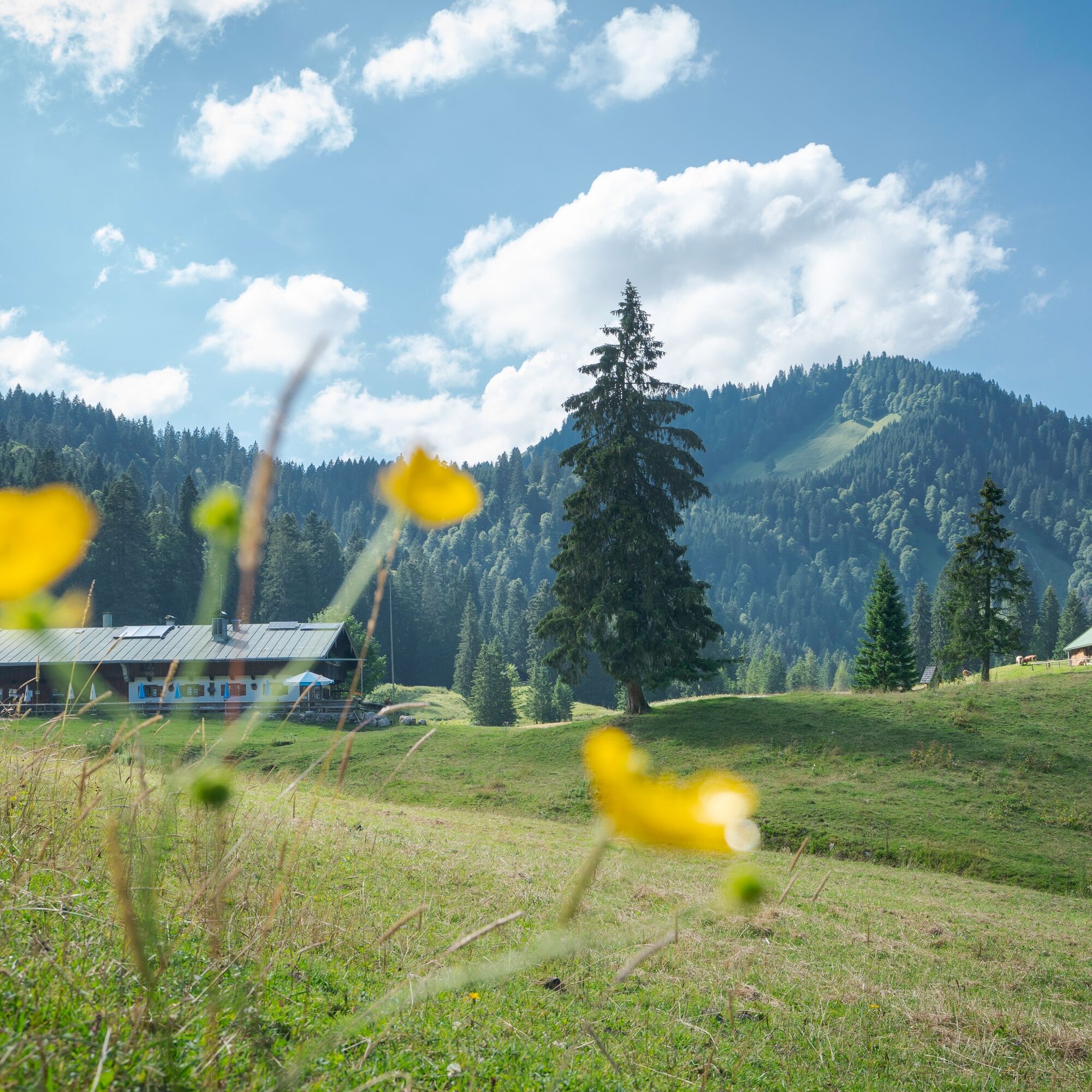
Instead of returning at the summit of the route on the other bank of the Schwarzenbach, the last few meters to Schwarzentennalm are worthwhile for a cozy stop.
Priljubljeni izleti v okolici
- 4.8
Summit route to the Wallberg
srednjaPohodništvo 12.2 km - 4.7
Königsalm
srednjaPohodništvo 10.0 km - 4.8
Lengrieser Hütte
srednjaPohodništvo 10.6 km - 4.2
Tegernsee Höhenweg - North
svetlobaPohodništvo 12.3 km - 4.6
Brecherspitze
srednjaGorski pohodništvo 14.5 km - 4.6
Aueralm/Zwerglberg
srednjaPohodništvo 11.9 km - 4.5
Brecherspitz-Runde auf dem Normalweg Schliersee, Bayern
srednjaPohodništvo 11.3 km - 3.7
Aueralm und Fockenstein
srednjaPohodništvo 14.1 km - 3.4
Zur Gindelalm und Kreuzbergalm
svetlobaPohodništvo 8.16 km - 4.5
Achenkirch - Zöhreralm - Adlerhorst - Achenkirch
svetlobaPohodništvo 7.70 km
Pohodništvo in sledenje


Ne zamudite ponudb in navdiha za naslednje počitnice
Vaš e-poštni naslov je bil dodan na poštni seznam.