






Mountain bike - Eschenlainetal
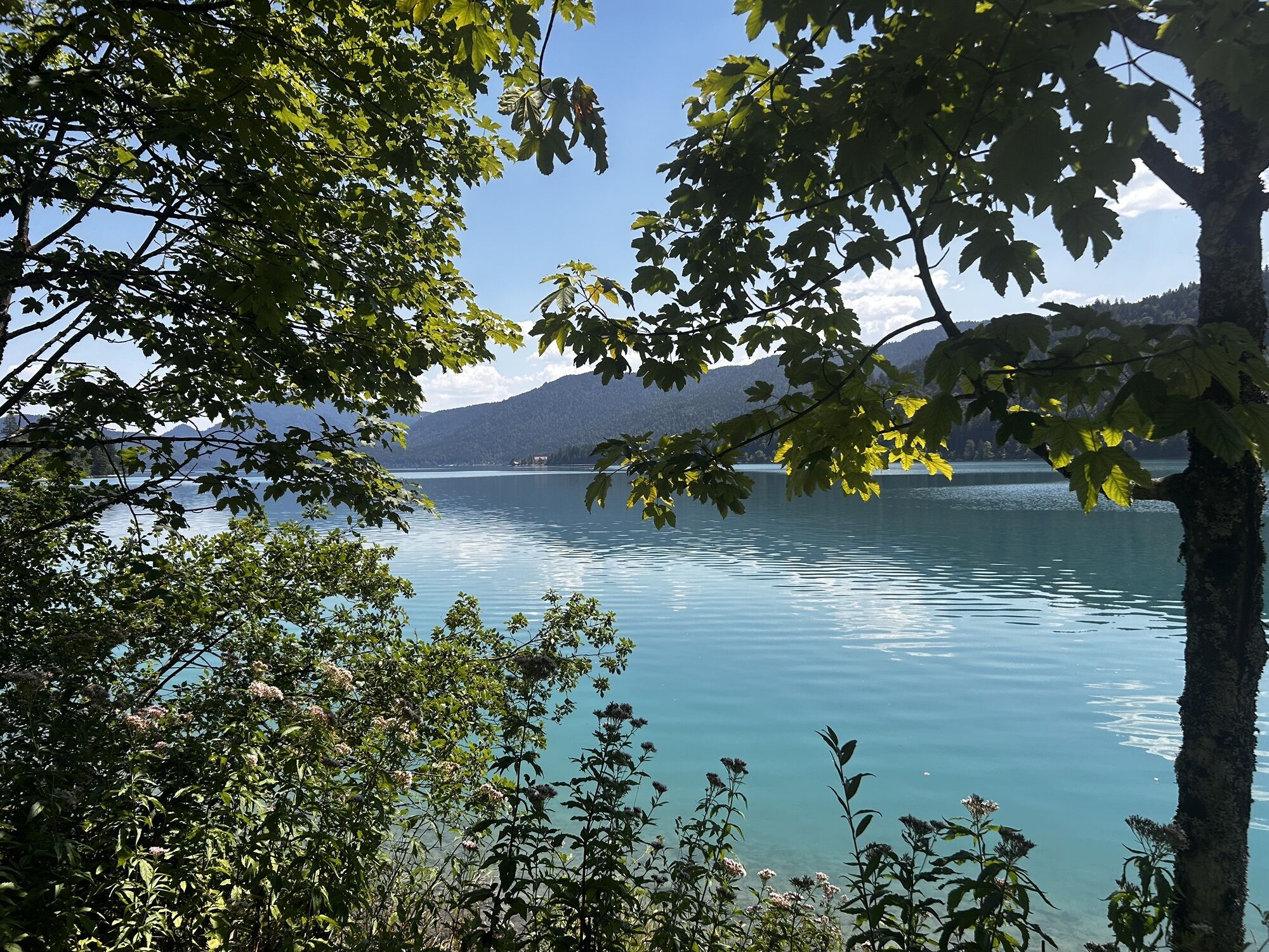
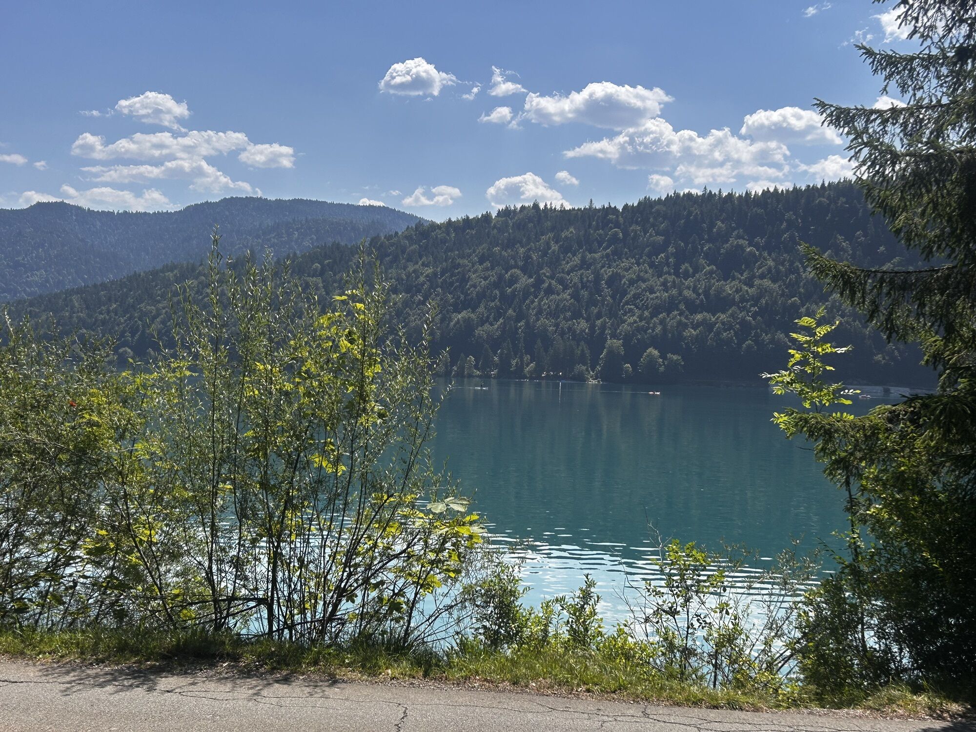
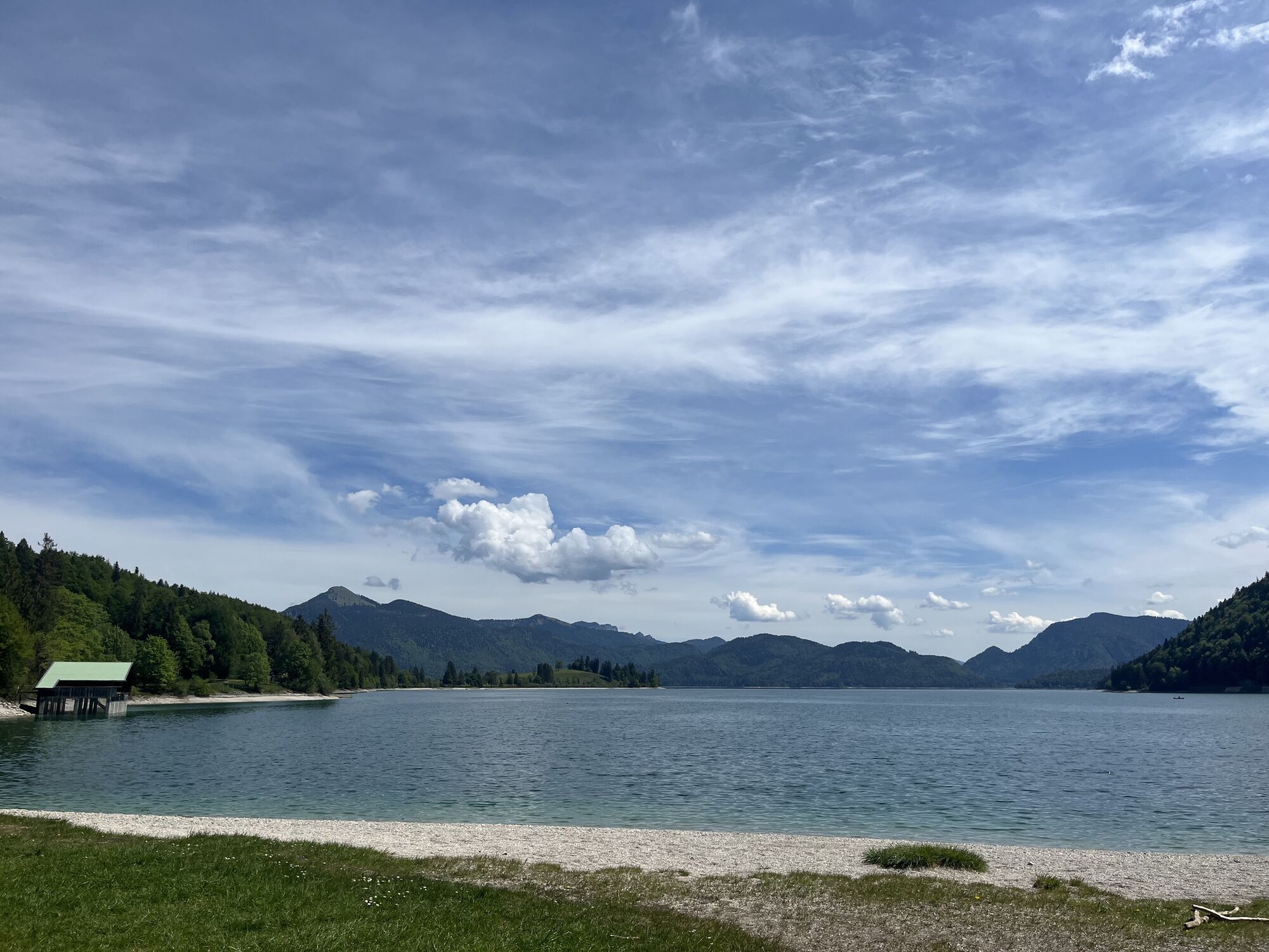
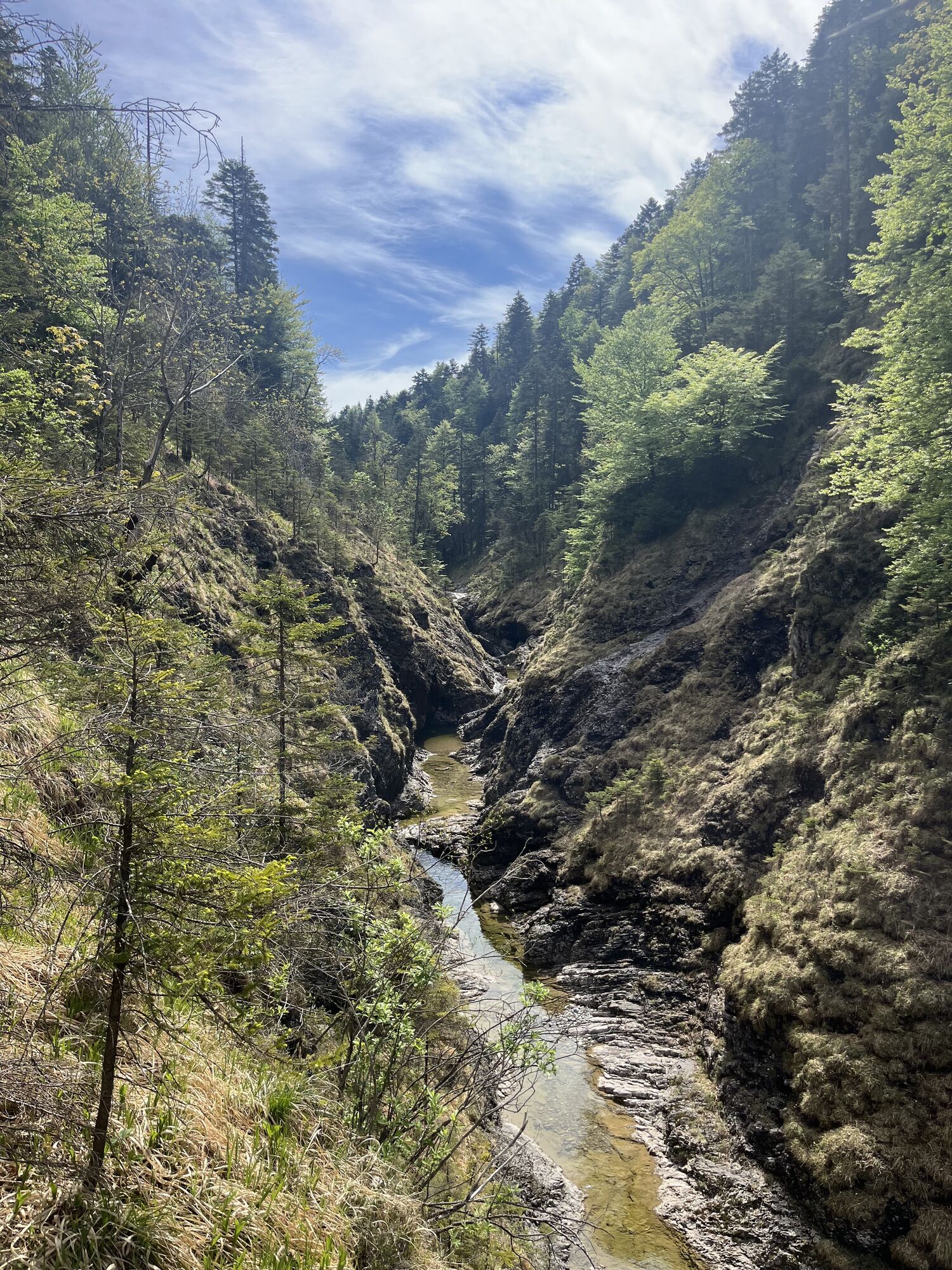
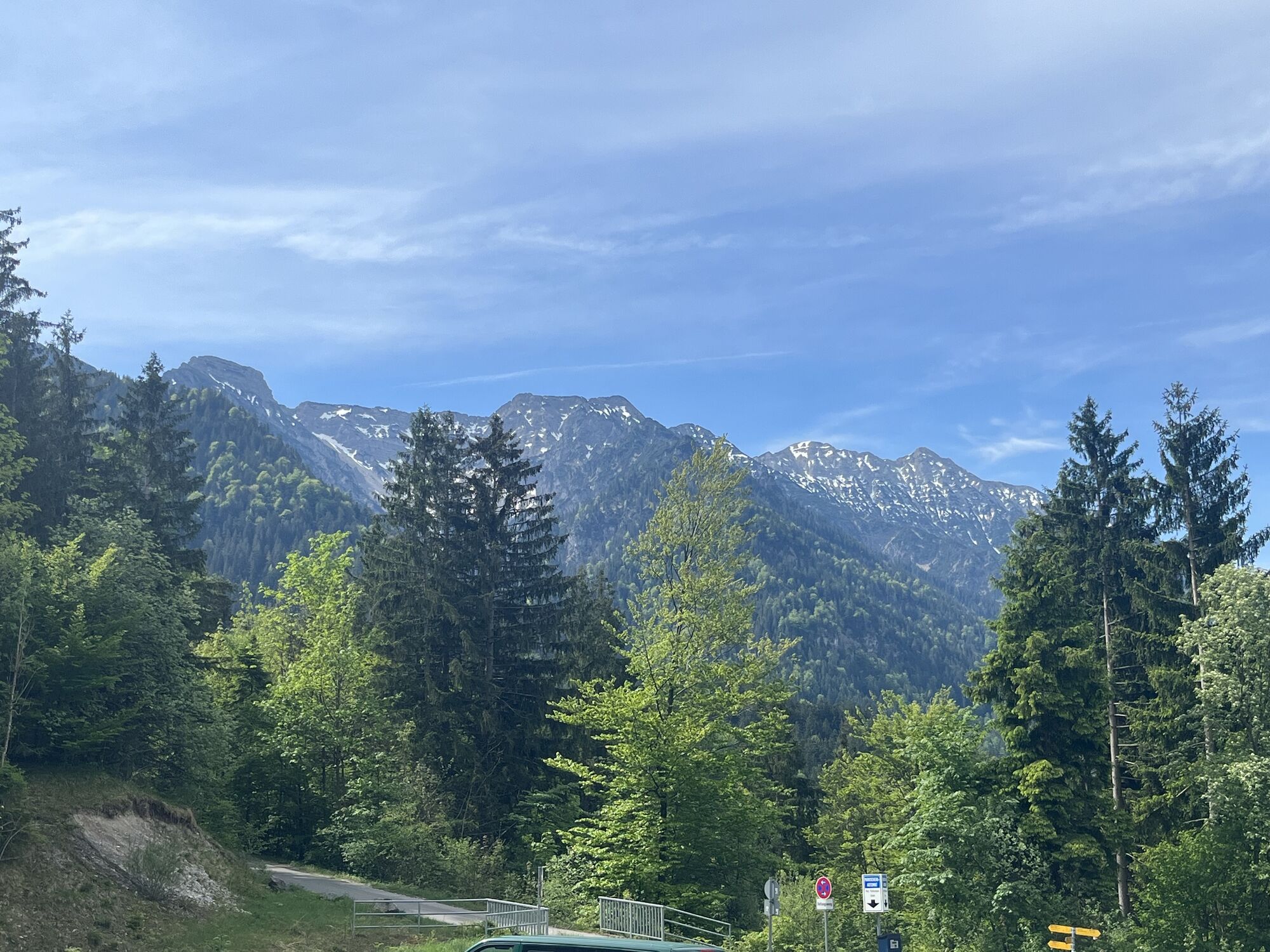

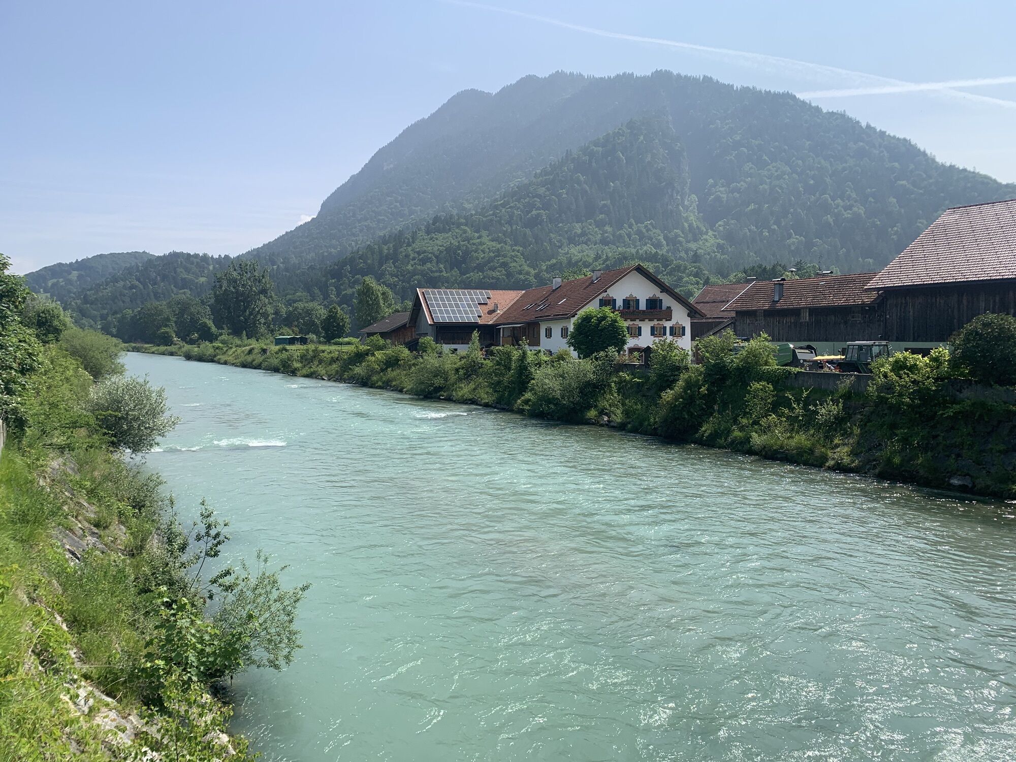
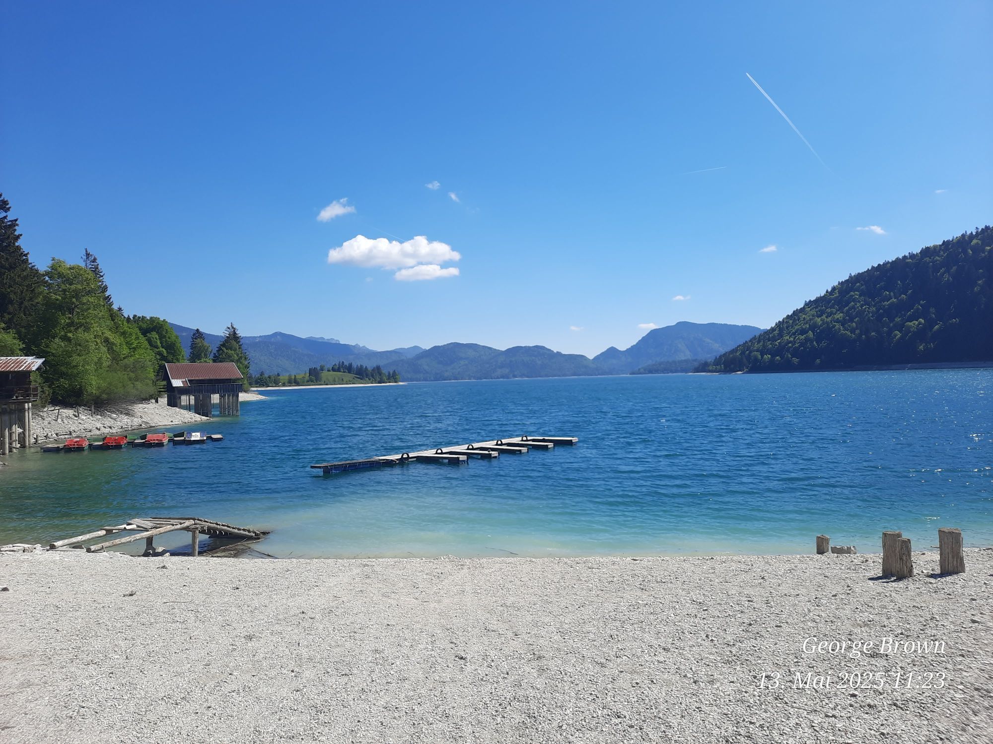
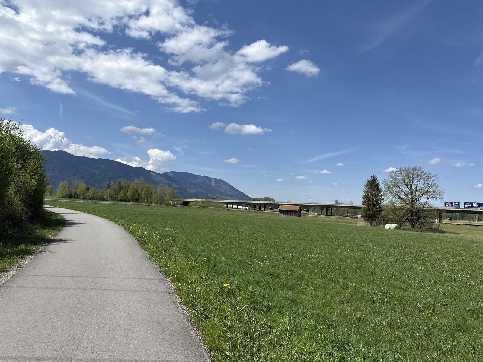

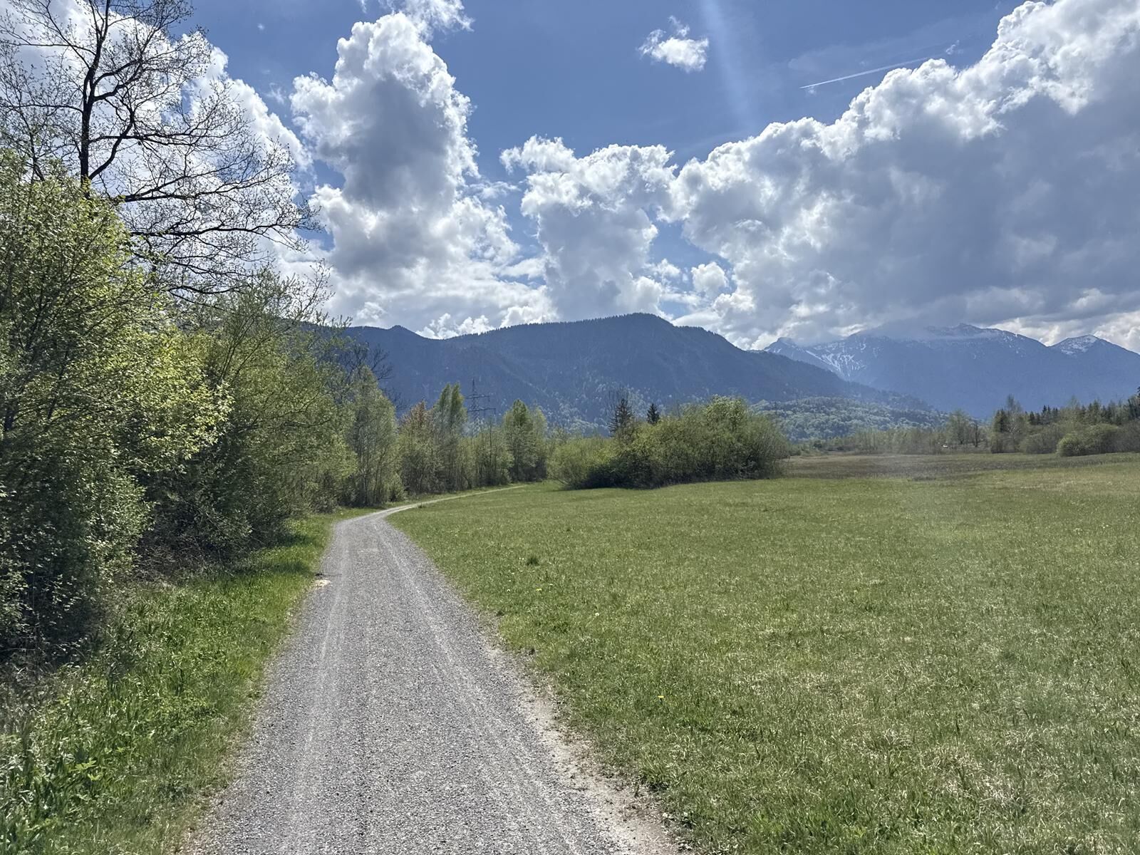
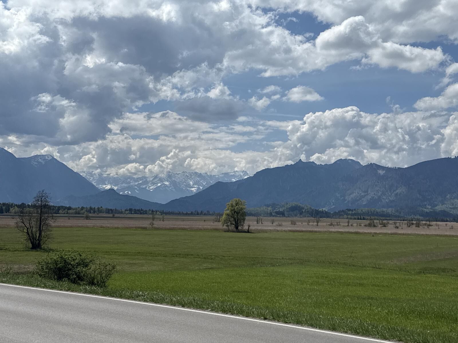
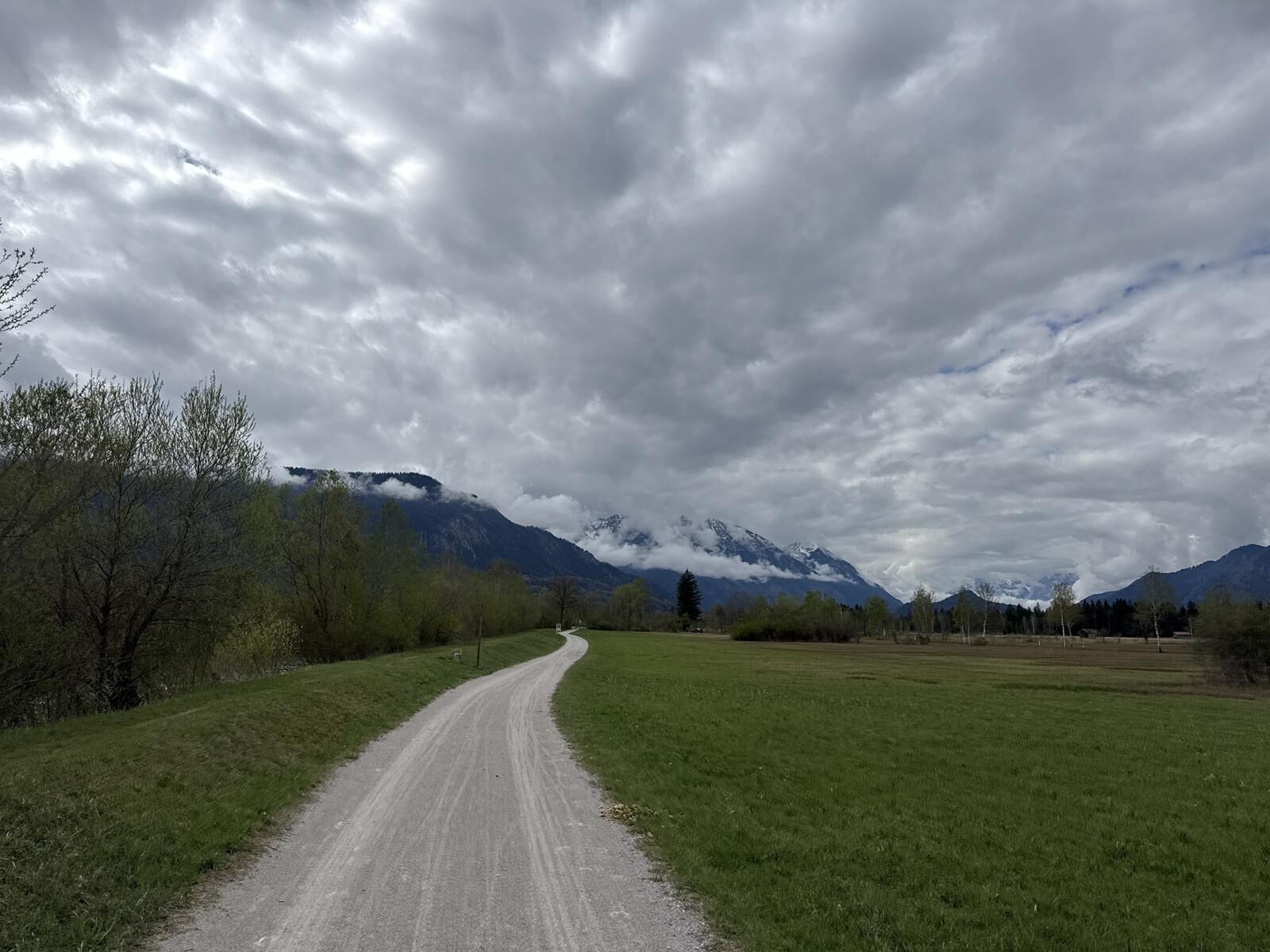
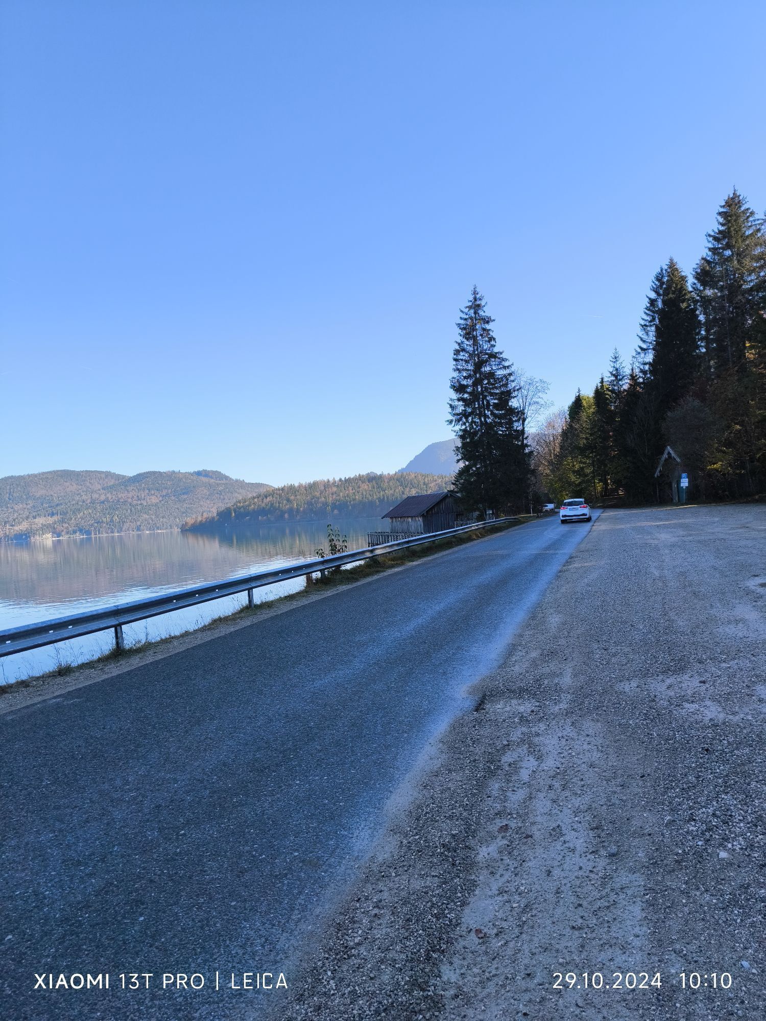
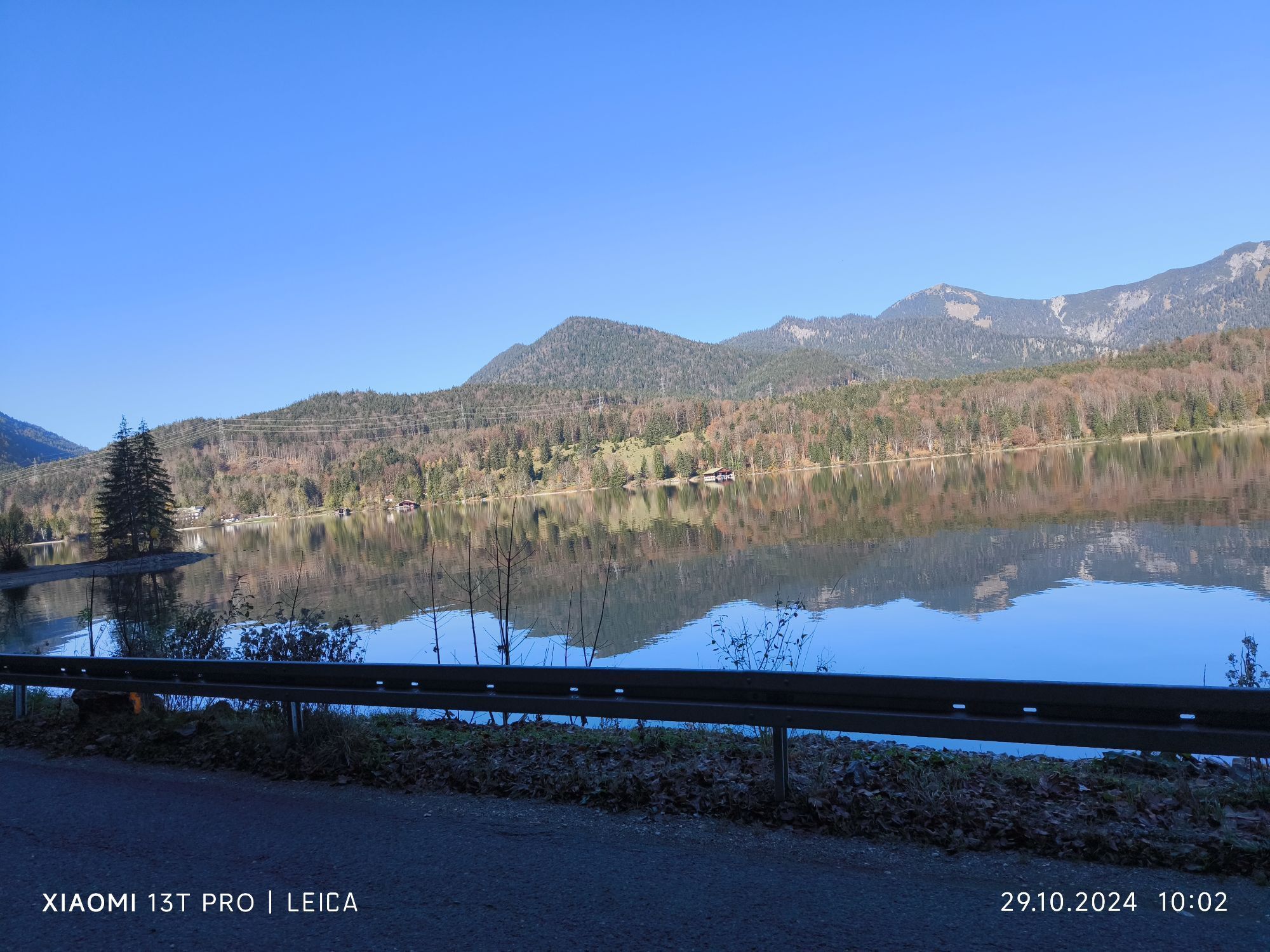
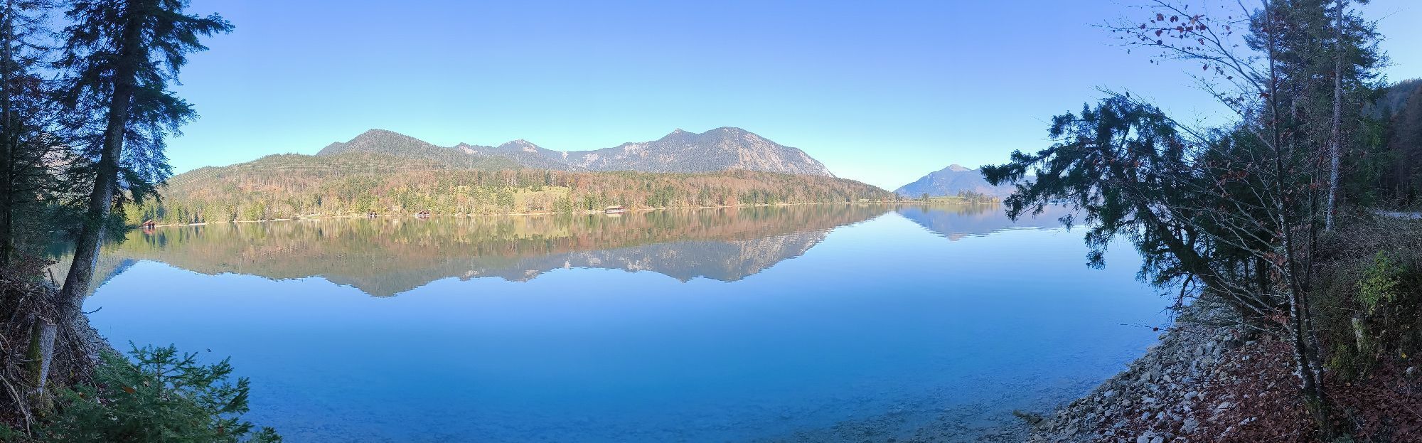

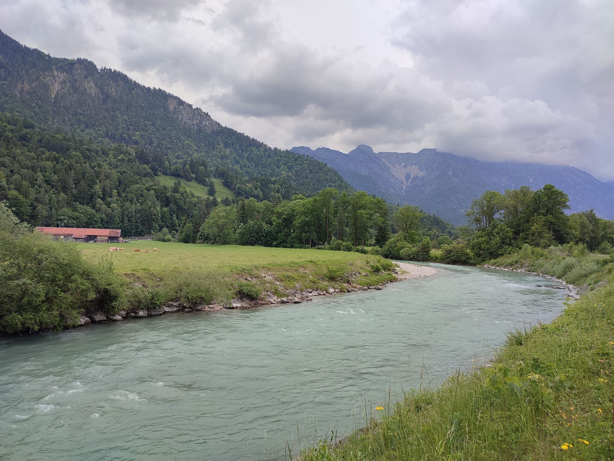
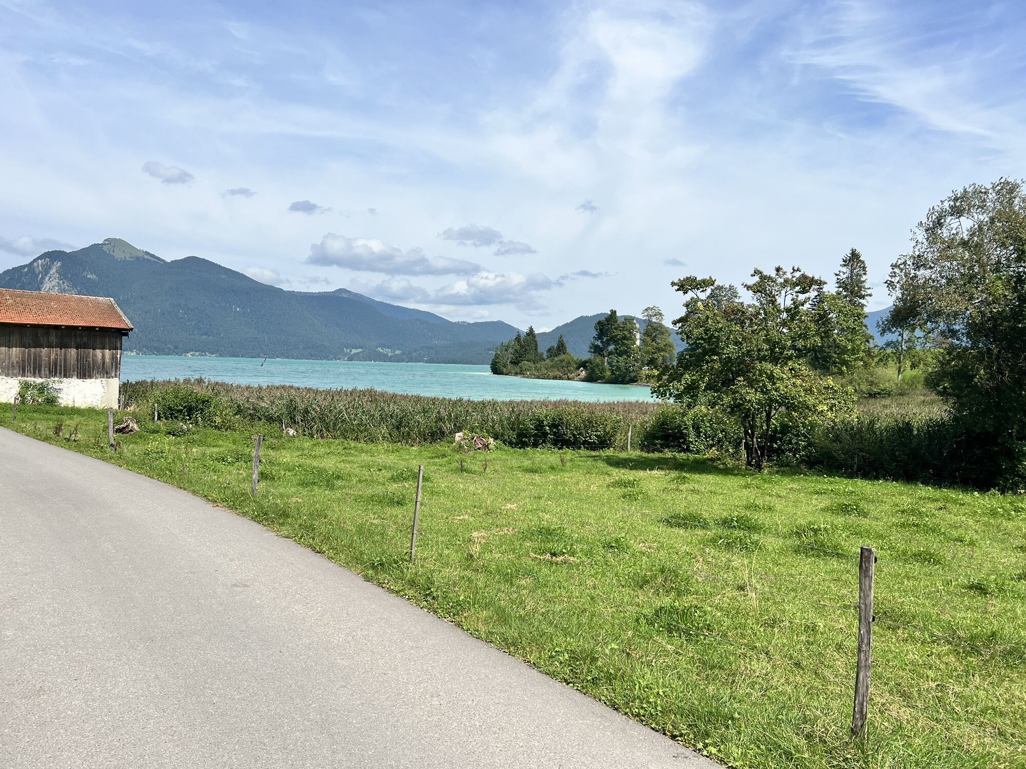
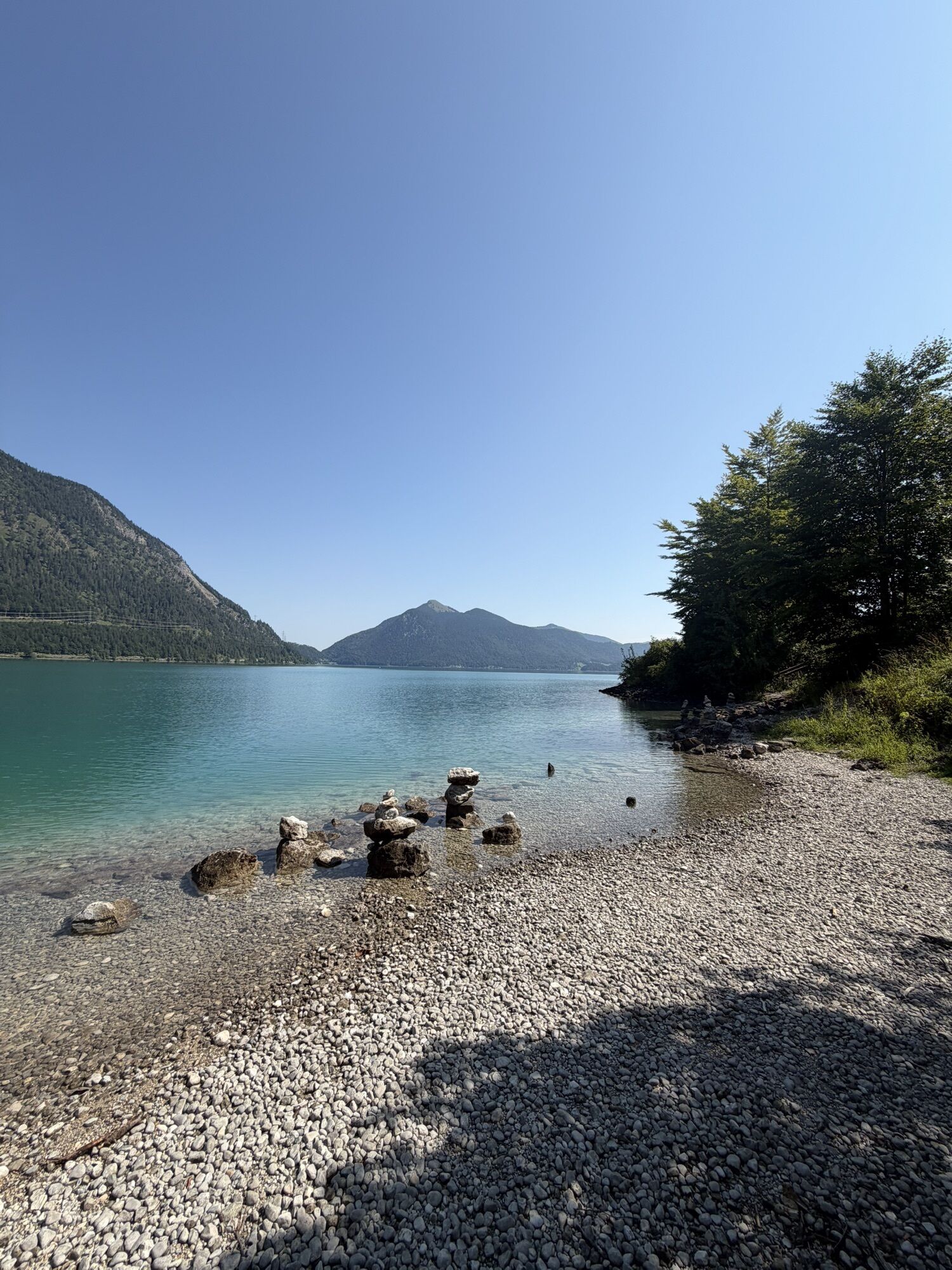
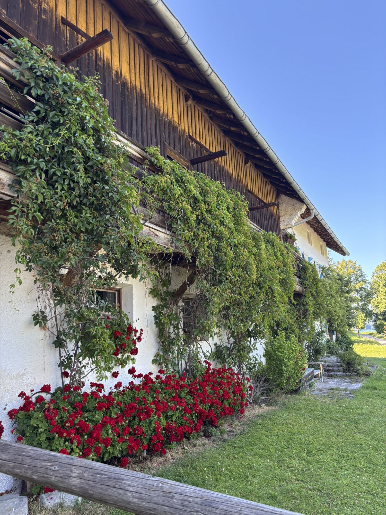
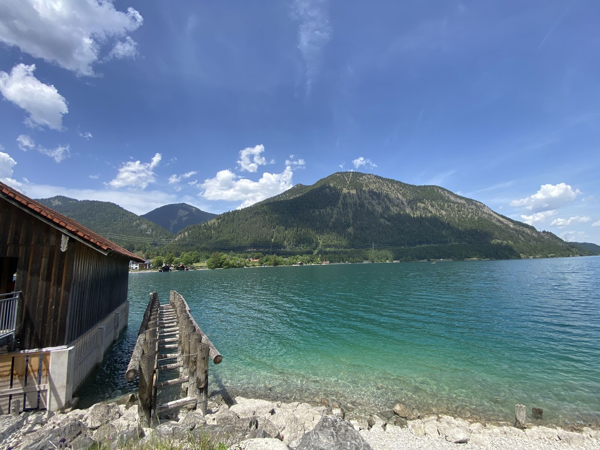
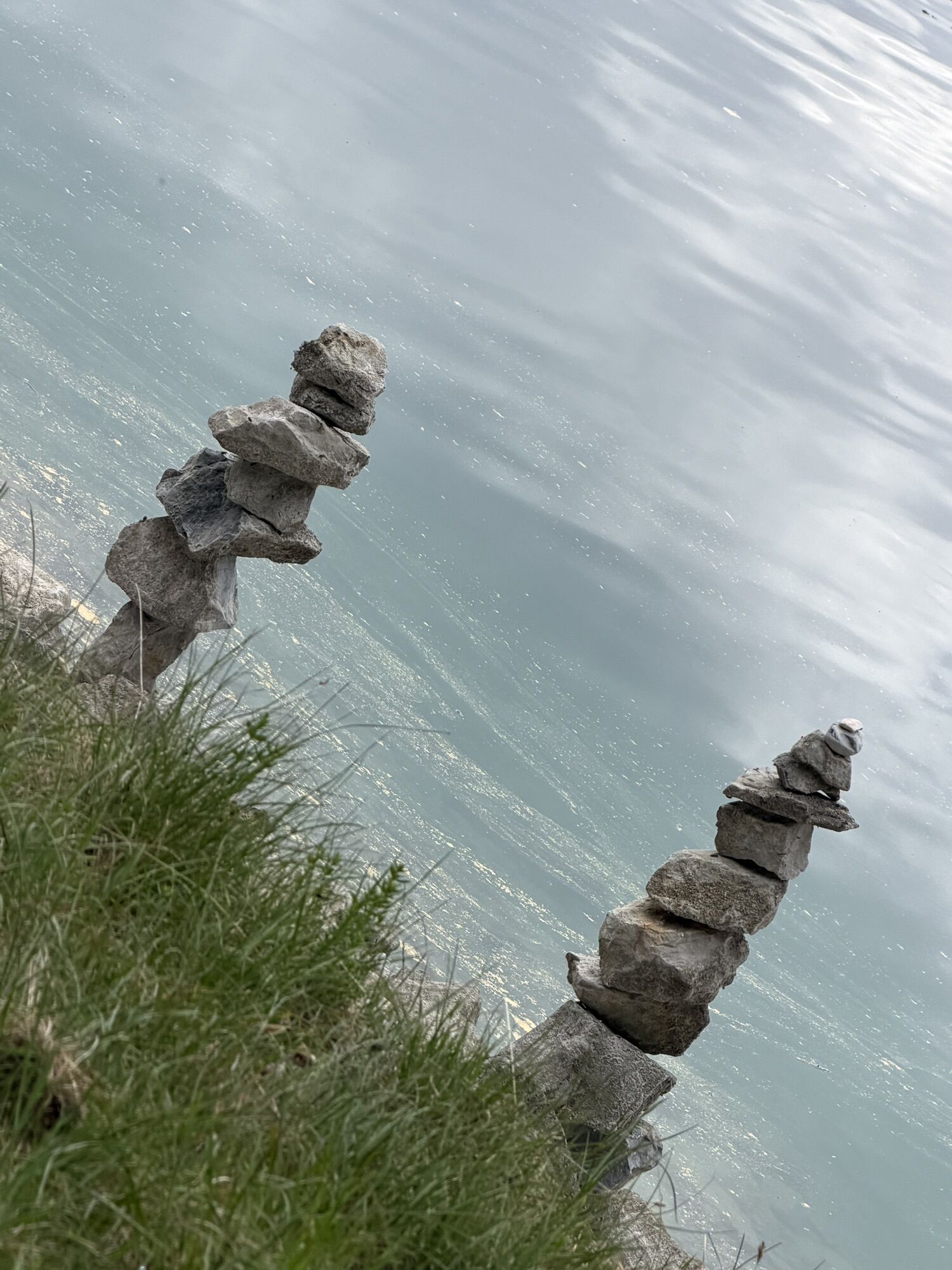
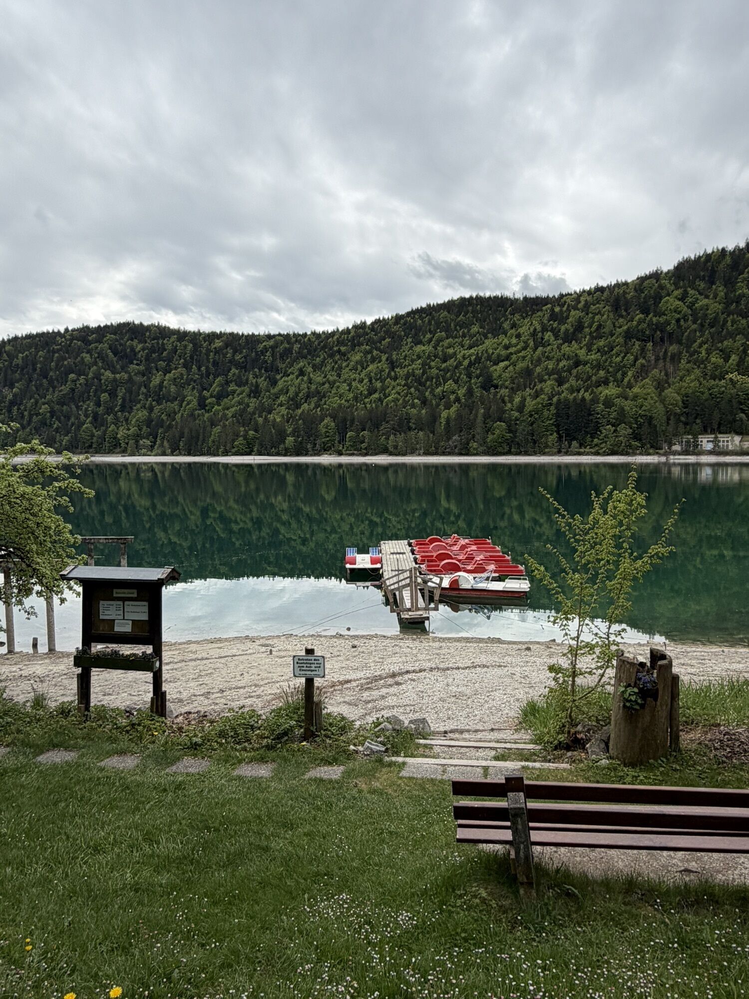
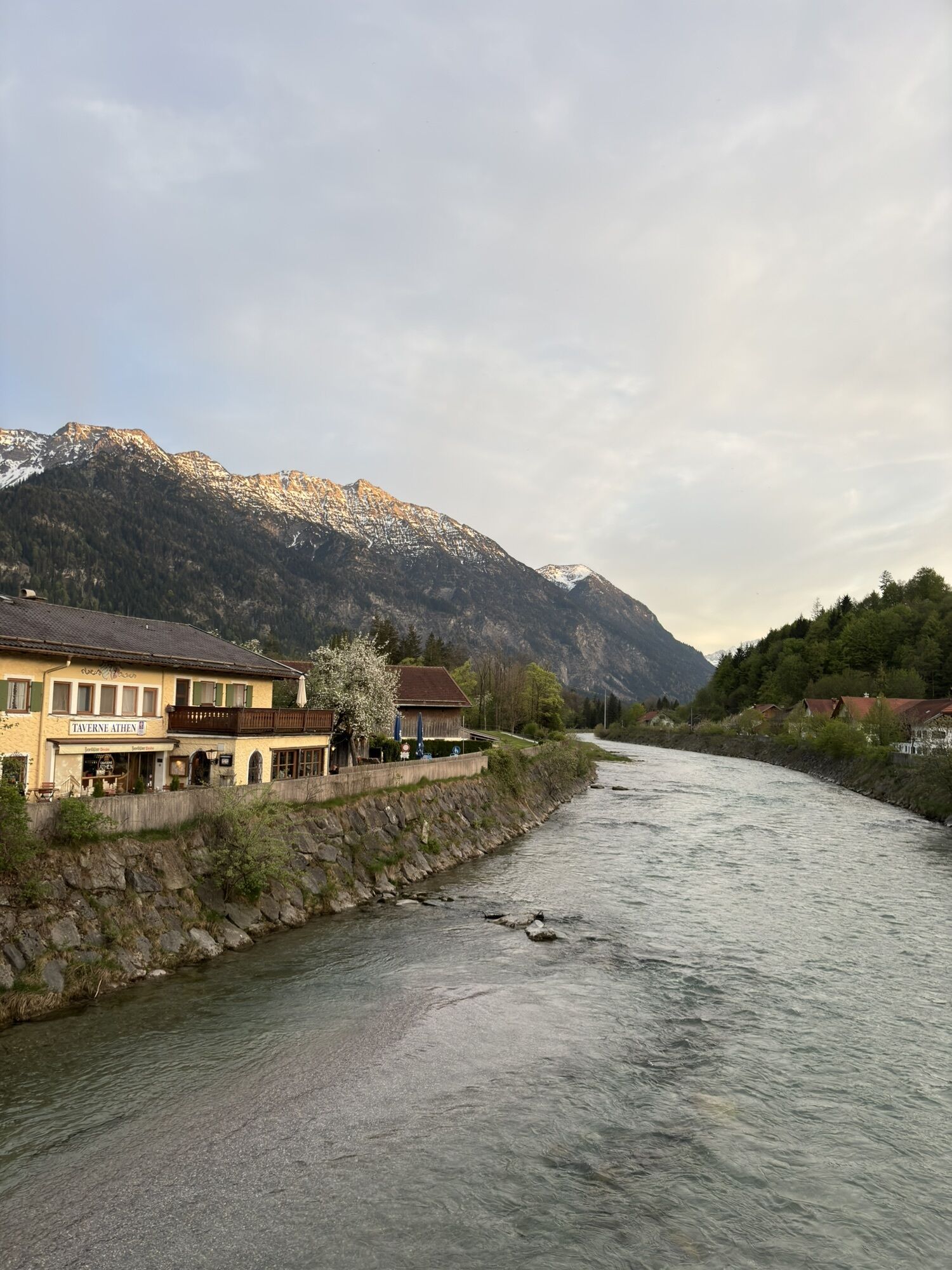
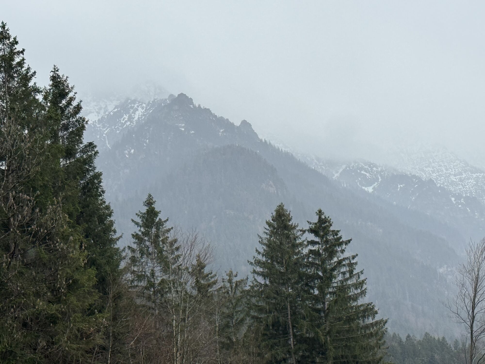
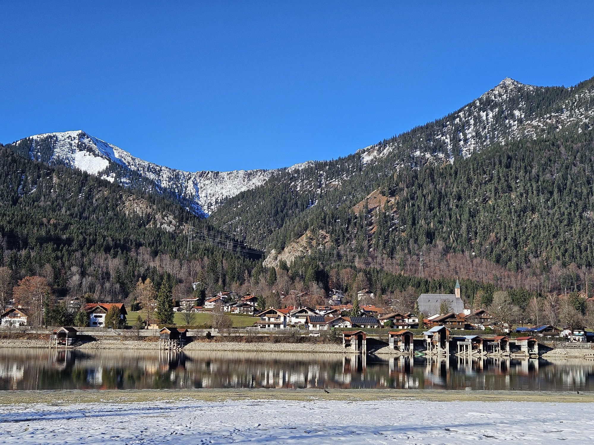

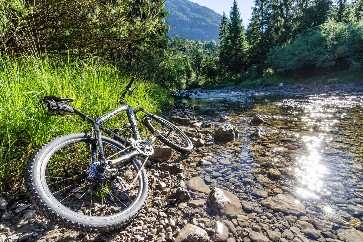
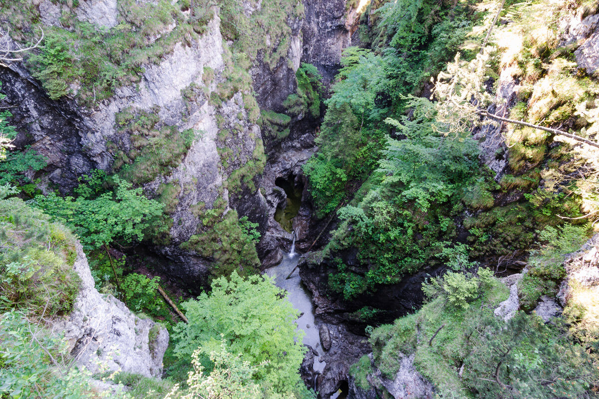

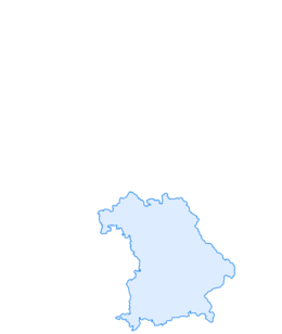
This scenically diverse tour starts at the pedestrian zone in Murnau. Riding down Marktstraße we will arrive at the Murnau Moor and follow the pleasant bike route along the Loisach River to Eschenlohe. We ride through the town and turn off to the left across the Loisach bridge at the church. After that we ride slightly to the left and follow the signage towards the south. From now own we ride on a forest road along the Eschenlaine stream. We cross the Eschenlaine several times on our way towards Walchensee. In parts it can also be somewhat wet. After the first ford, the trail continues steep uphill to a small reservoir above the Gachentod Gorge. Here you can take a short break at the lake. After that the trail goes up partially steeper ramps to the highest point of the tour at just under 900 metres. From now on the tour goes rapidly downhill on the forest road towards Einsiedl and idyllic Walchensee. After we have turned left on the federal highway, the route descends immediately to the right on a tarred road onto the peninsula with the hamlets of Zwergern and Klösterl, and returns to Murnau on the same route.
Da
To ensure a smooth bike ride, we recommend the following equipment:
Bicycle helmet Gloves Short or long cycling shorts Short or long jersey Rain jacket Good shoes, possibly with clip-in Sunglasses Drinking system Supplies First aid kit GPS device + spare set of batteries Current map (scale 1:50,000) Spare tube, pump Tools Camera MoneyThe route has been compiled to the best of our knowledge, no guarantee is given for the accuracy of the information. The ride is at your own risk and can involve the usual risks that are always present when staying in mountainous areas. Any liability is excluded.
Please always show consideration for pedestrians and hikers. Make yourself noticed in good time, reduce your speed and dismount and push the bike on narrow paths. We appeal for a respectful coexistence of hikers and bikers.
In case of emergency, please contact the nearest rescue control center. Regardless of location, you can reach them throughout Germany at the phone number 112.
The hiking and biking trails described by us primarily serve forest management; their use is at your own risk (§ 14 para. 1 BWaldG).
From Munich via the A95 and St2062 as well as from Garmisch-Partenkirchen via the B2
Bus stop: Murnau Post Office
Bus lines in and through Murnau:
9601 Weilheim - Huglfing - Uffing - Murnau
9607 Murnau - Ohlstadt - Ettal and back (Note: service only Saturdays on school days of the Klosterschule Ettal!)
9611 Kochel - Schlehdorf - Großweil - Ohlstadt - Murnau (Note: the open-air museum Glentleiten is only served from April to October!)
9620 Murnau - Riegsee - Aidling - Murnau
9621 Murnau - Seehausen - Grafenaschau
9631 Murnau - Obersöchering / Uffing - Eglfing
9641 Murnau - Seehausen - Uffing - Kirnberg
Train stations: Murnau Bahnhof and Murnau Ort (route Murnau - Oberammergau)
Murnau Bahnhof (route Munich - Murnau - Garmisch-Partenkirchen)
Guests of the "Blue Land" region and the "Ammergau Alps" can use a variety of bus lines as well as the train lines from Murnau to Oberammergau and from Uffing to Garmisch-Partenkirchen free of charge with the electronic guest card or the KönigsCard. More information is available at: https://www.dasblaueland.de/Service/mobil
Parking lots in the center of Murnau
 Pridobite vpogled
Vedno v živo na mestu z več kot 9.500 spletnimi kamerami. bergfex Kot uporabnik Pro si lahko zdaj ogledate ustrezne spletne kamere za številne izlete v aplikaciji izleti iz. Tako si lahko neposredno ogledate trenutne razmere.
Pridobite vpogled
Vedno v živo na mestu z več kot 9.500 spletnimi kamerami. bergfex Kot uporabnik Pro si lahko zdaj ogledate ustrezne spletne kamere za številne izlete v aplikaciji izleti iz. Tako si lahko neposredno ogledate trenutne razmere.

Priljubljeni izleti v okolici
-
3.8
Benediktenwand (1801 m)
Pohodništvo 23.0 km -
4.8
Jochberg
svetlobaPohodništvo 7.56 km -
4.8
Rundweg Heimgarten und Herzogenstand
srednjaPohodništvo 15.0 km -
3.9
Wasserfall-Weg Jachenau
svetlobaPohodništvo 9 km -
4.7
Schöttelkarspitze (Rundtour)
srednjaPohodništvo 20.0 km -
4.6
Murnauer Moos
svetlobaPohodništvo 11.5 km -
4.6
"Rabenkopf" Rundweg
Pohodništvo 11.0 km -
4.6
Mountain route - Heimgarten via Käseralm
srednjaPohodništvo 10.8 km -
4.7
Herzogstand
srednjaPohodništvo 7.28 km -
4.0
Rabenkopf
srednjaGorski pohodništvo 17.1 km
Pohodništvo in sledenje


Ne zamudite ponudb in navdiha za naslednje počitnice
Vaš e-poštni naslov je bil dodan na poštni seznam.





