







Laubenberg round
Stopnja težavnosti: S1
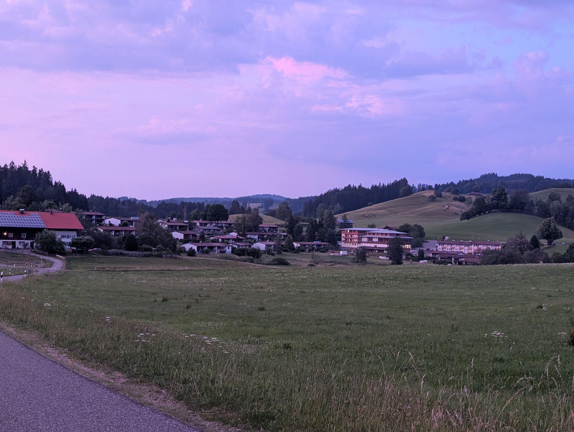
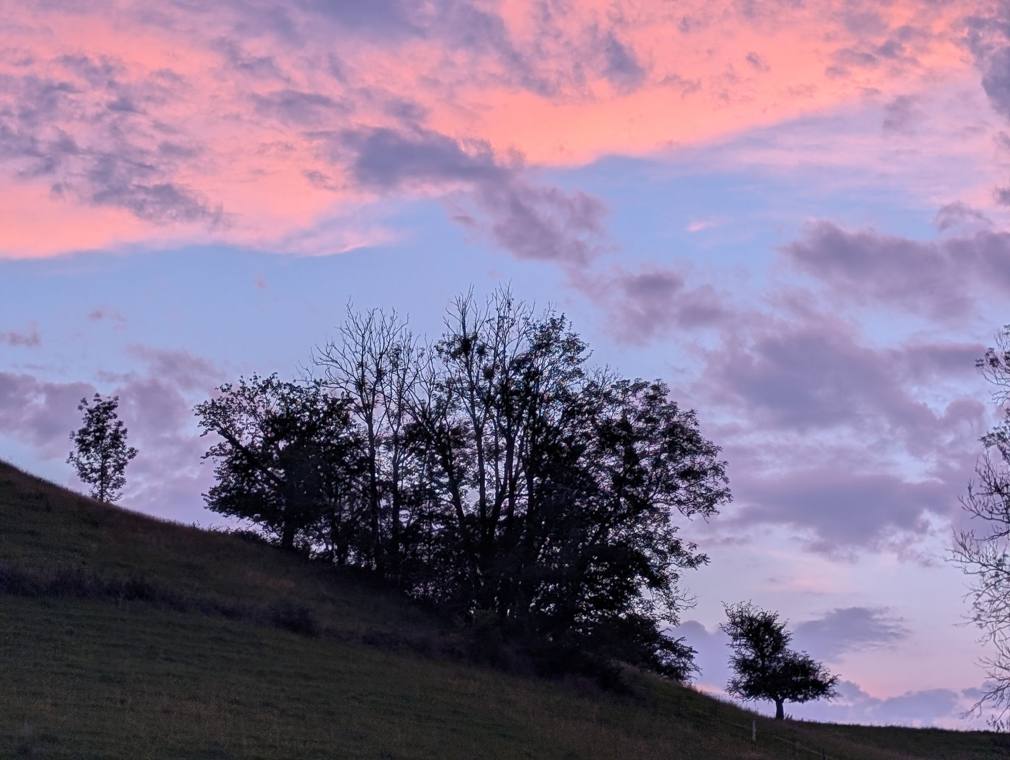
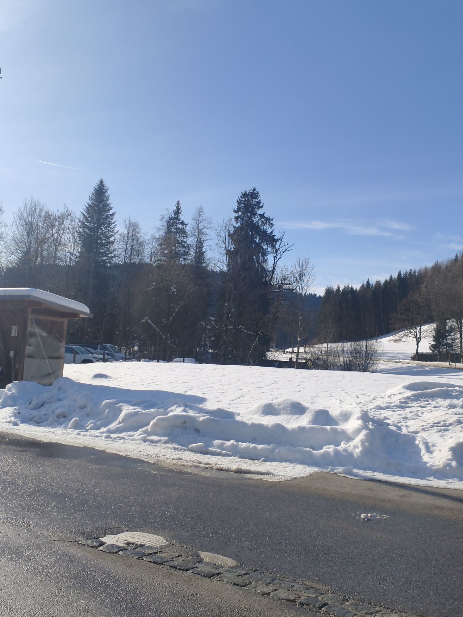
A varied round through the hilly Westallgäu with several ascents and descents. Over Genhofen and Ranzenried you first gain some altitude, then it continues with rolling terrain to Rutzhofen. A forest section...
A varied round through the hilly Westallgäu with several ascents and descents. Over Genhofen and Ranzenried you first gain some altitude, then it continues with rolling terrain to Rutzhofen. A forest section follows down to Harbatshofen.
Continue a bit on the bike path towards Isny, about one kilometer before Grünenbach a path branches off to the right, leading in a moderate climb to Laubenberg. Via the hamlet Motzgatsried it goes along a forest road above the Eistobel to Ebratshofen. There turn left to Schüttentobel, the end of the impressive Eistobel path, which is recommended for a hike without a bike.
The climb to Pferrenberg and the subsequent forest crossing demand strength in the legs once more or the support of an electric motor, before the last part via Oberthalhofen and along the Upper Argen runs off quite comfortably.

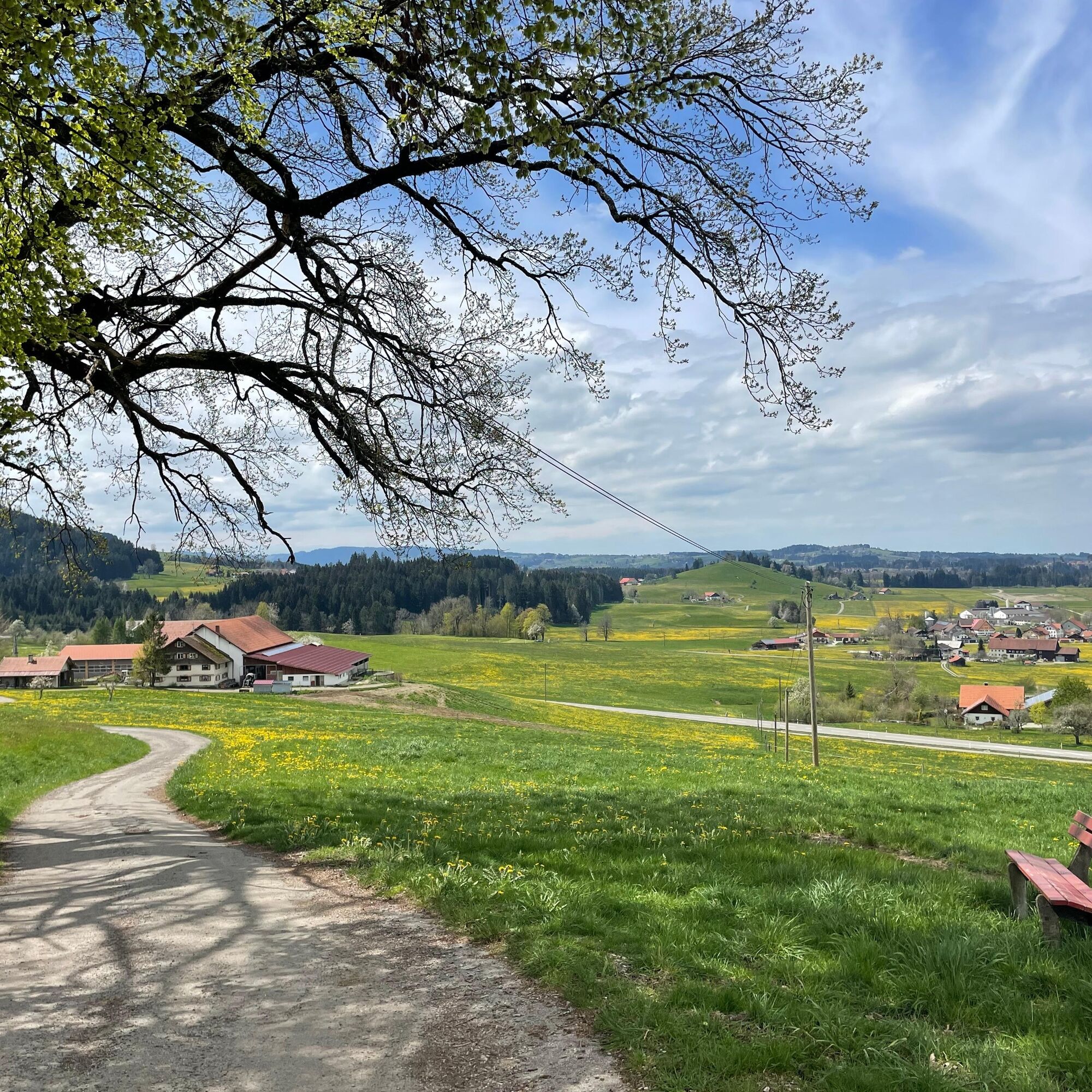
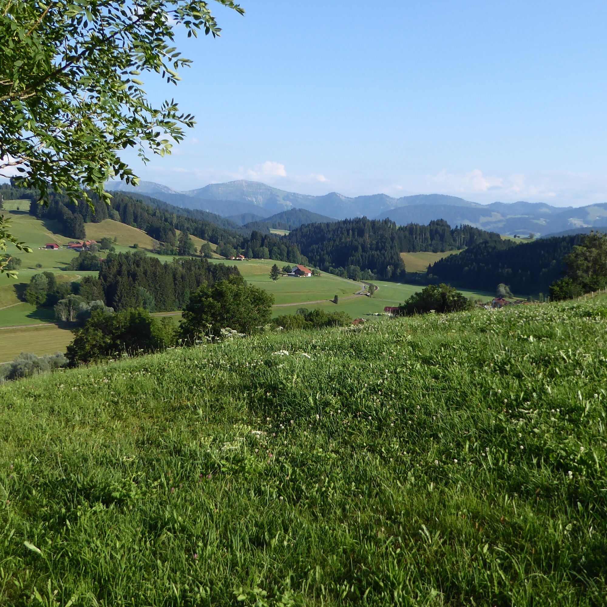
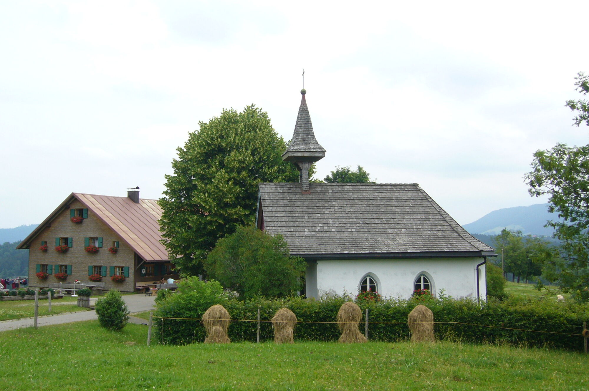
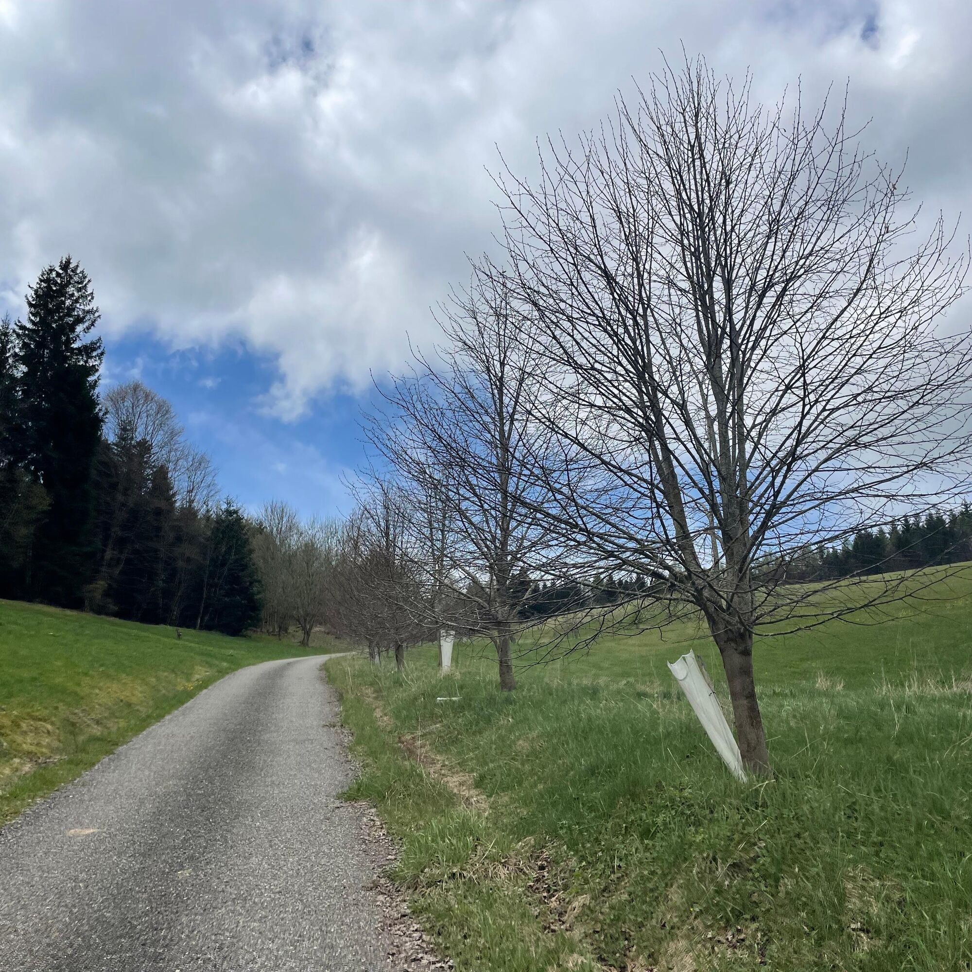
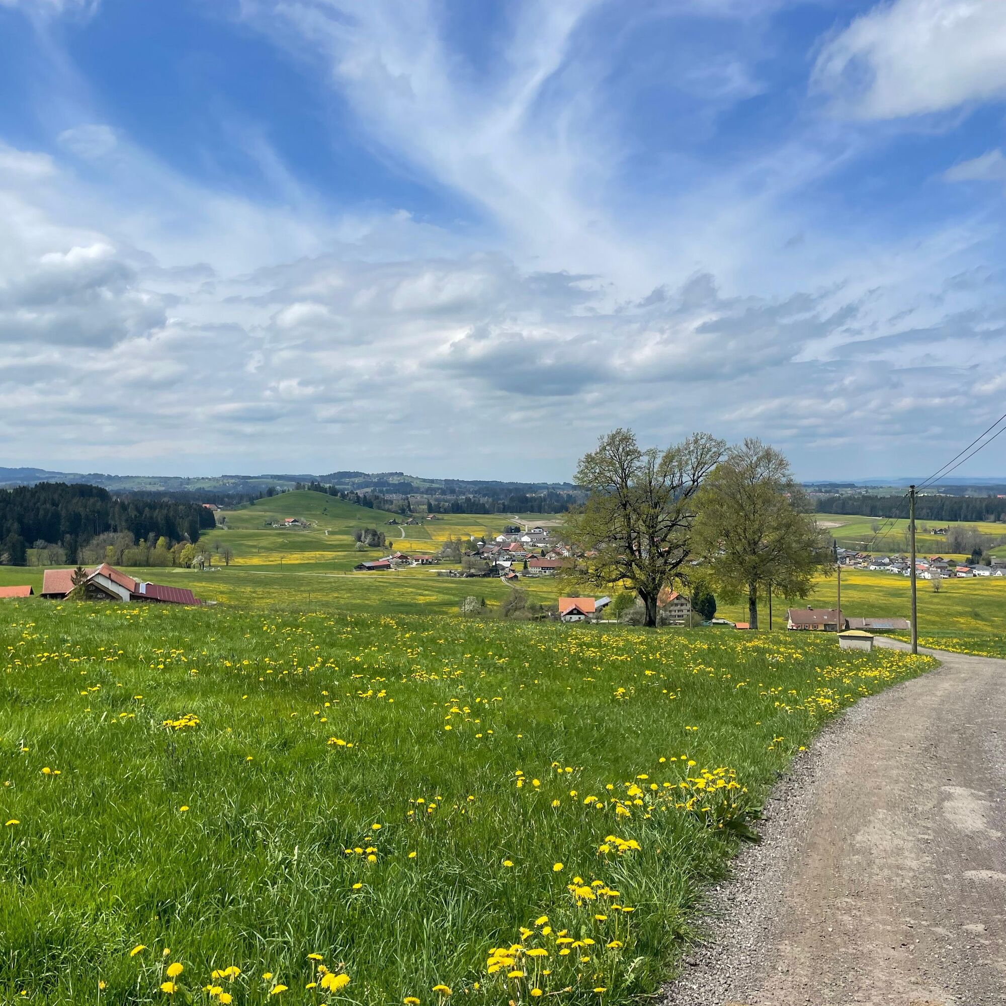
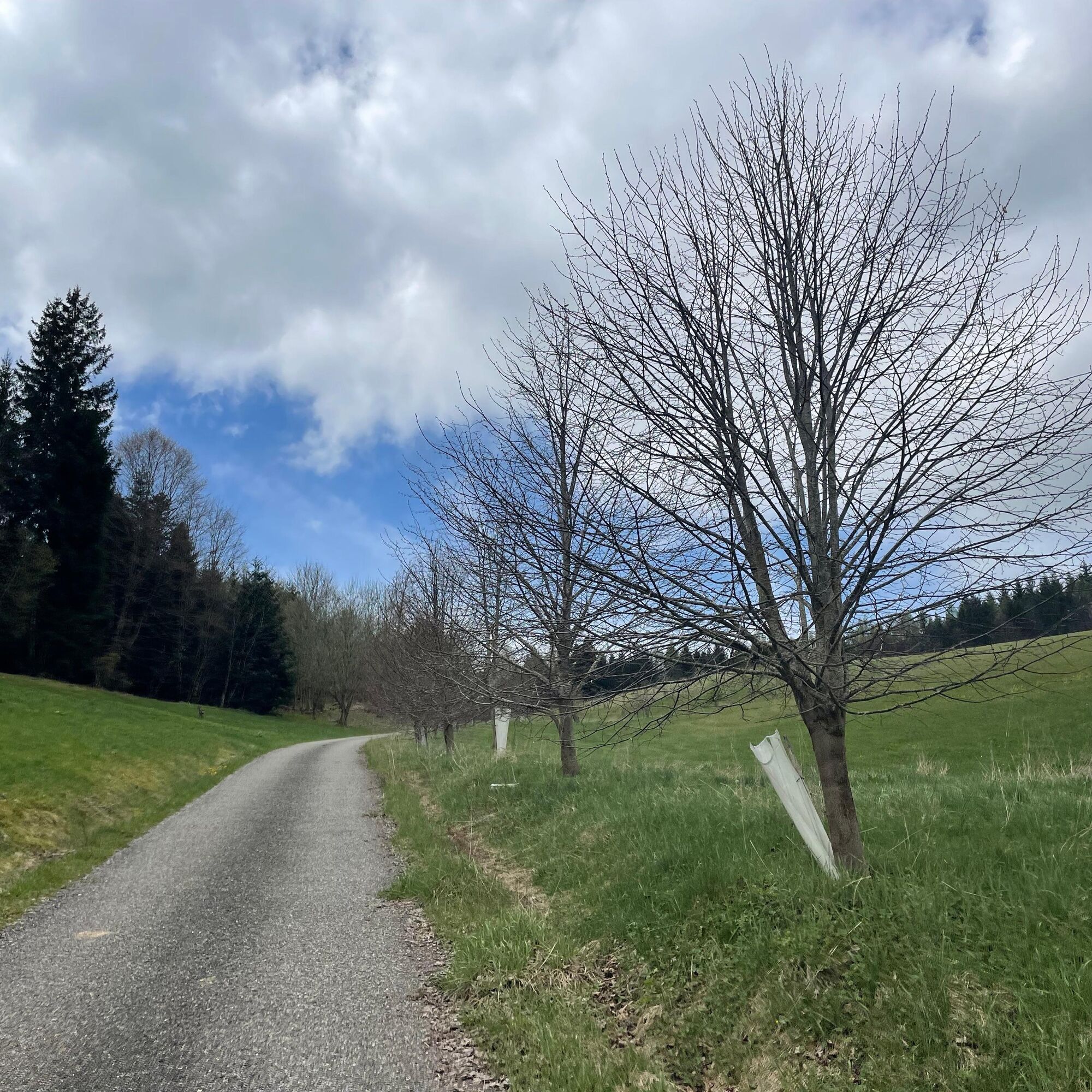

We leave Oberstaufen via Argenstraße and pass through Sinswang and Genhofen to Ranzenried. Turn left here and at the next junction turn right, through a hollow and up again, until it soon then goes left again. On this road through a short forest section, shortly afterwards turn right onto a side path to Mittelhofen and continue to Rutzhofen. A few meters after the cheese factory, turn right on a field path into the forest and down through it to Harbatshofen. Turn left onto the main road and follow it over the railway line to the large T-junction. Follow the signposting left towards Isny, after a few hundred meters then turn right and continue on the new bike path until an ascent branches off to Unter- and Oberlaubenberg. Steadily uphill past the properties until shortly before the Laubenberg ruin (Attention: possibly closed cattle gates here!). Here continue right on the level forest road, which soon climbs again. At the second junction, follow the path left in a large curve. Then keep right until the forest exit and reach Motzgatsried via a short descent. Here turn right and follow the forest path to Ebratshofen. Again turn left on the road down to Schüttentobel, then right up a paved side road to Pferrenberg. After the last house, a forest road branches again to the right. Follow this and after a few ups and downs through the forest you reach Jungensberg. Turn left here towards Oberthalhofen. In the village turn left and along the Upper Argen to Weißenbachmühle. Via Zell and Buflings it goes back to Oberstaufen.
S1
On S1 trails, small obstacles like shallow roots, small stones, and water gutters must be rolled over. The gradient is a maximum of 40%. Basic riding techniques such as controlled braking and body shifting are necessary.
Note: The route is not explicitly signposted; GPX data for navigation is available.
The Eistobel is one of Bavaria's most beautiful geotopes: A well-secured path leads through the three and a half kilometer long nature reserve along the Upper Argen. Rare animal and plant species, a tangible geological history, roaring waterfalls and deep whirlpools, huge rock blocks and massive rock walls await you. A visit to the Eistobel Gorge remains unforgettable.
Pridobite vpogled
Vedno v živo na mestu z več kot 9.500 spletnimi kamerami. bergfex Kot uporabnik Pro si lahko zdaj ogledate ustrezne spletne kamere za številne izlete v aplikaciji izleti iz. Tako si lahko neposredno ogledate trenutne razmere.
Priljubljeni izleti v okolici
-
4.7
Steibis - Buchenegger Waterfalls
srednjaPohodništvo 6.47 km -
5.0
Nagelfluh ridge route Hochgrat - Mittag
težkoPohodništvo 14.0 km -
4.7
Rindalphorn und Hochgrat
srednjaPohodništvo 15.6 km -
4.9
Immenstädter Horn
svetlobaPohodništvo 9.35 km -
5.0
Siedelalpe Runde von See - Immenstadt
svetlobaPohodništvo 10.3 km -
3.7
Rundtour Mittag
svetlobaPohodništvo 15.7 km -
4.5
Immenstädter Horn - Gschwender Horn
svetlobaPohodništvo 10 km -
4.4
Circular route Steibis to Dreiländerblick
srednjaPohodništvo 7.95 km -
4.5
Circular route Hündle to the Buchenegger Waterfalls
srednjaPohodništvo 9.69 km -
4.0
Nagelfluh-Überschreitung
težkoPohodništvo 22.7 km
Pohodništvo in sledenje


Ne zamudite ponudb in navdiha za naslednje počitnice
Vaš e-poštni naslov je bil dodan na poštni seznam.





