





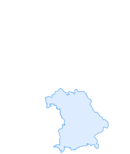

Along the salt road through the Ehrenschwang valley
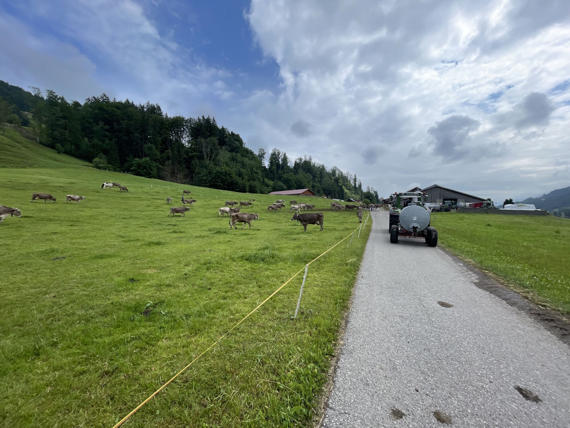
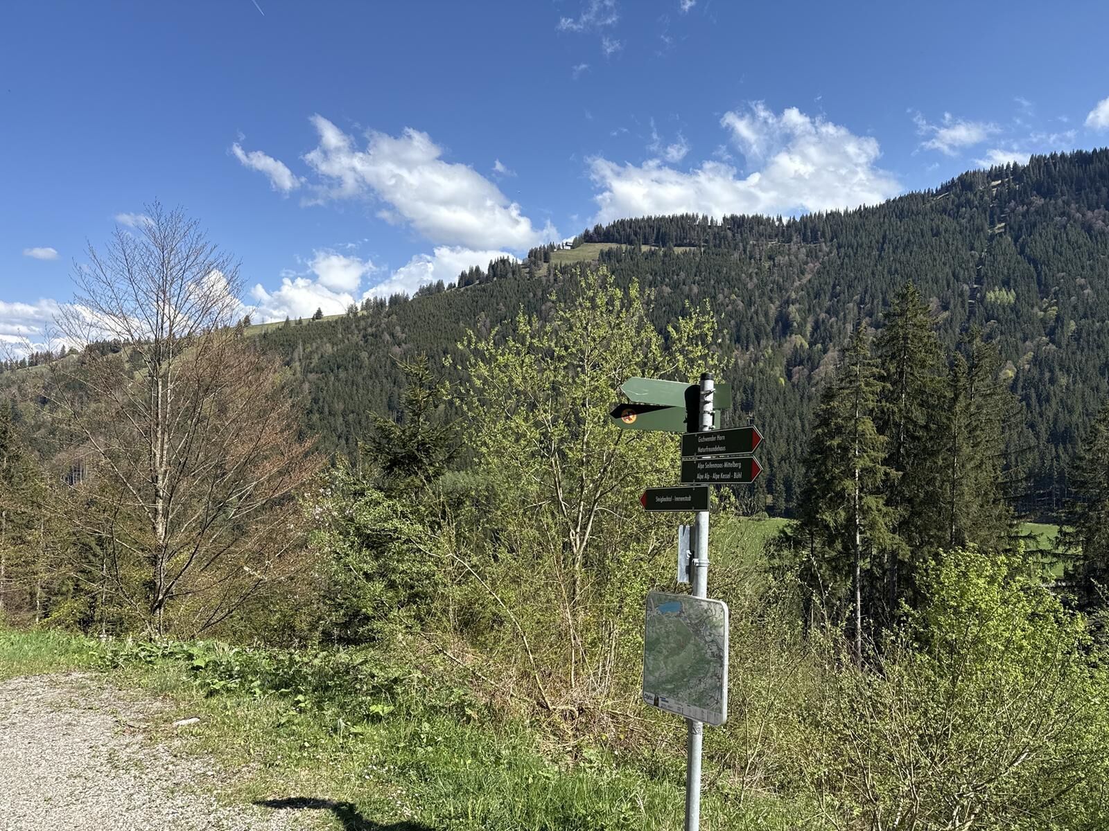
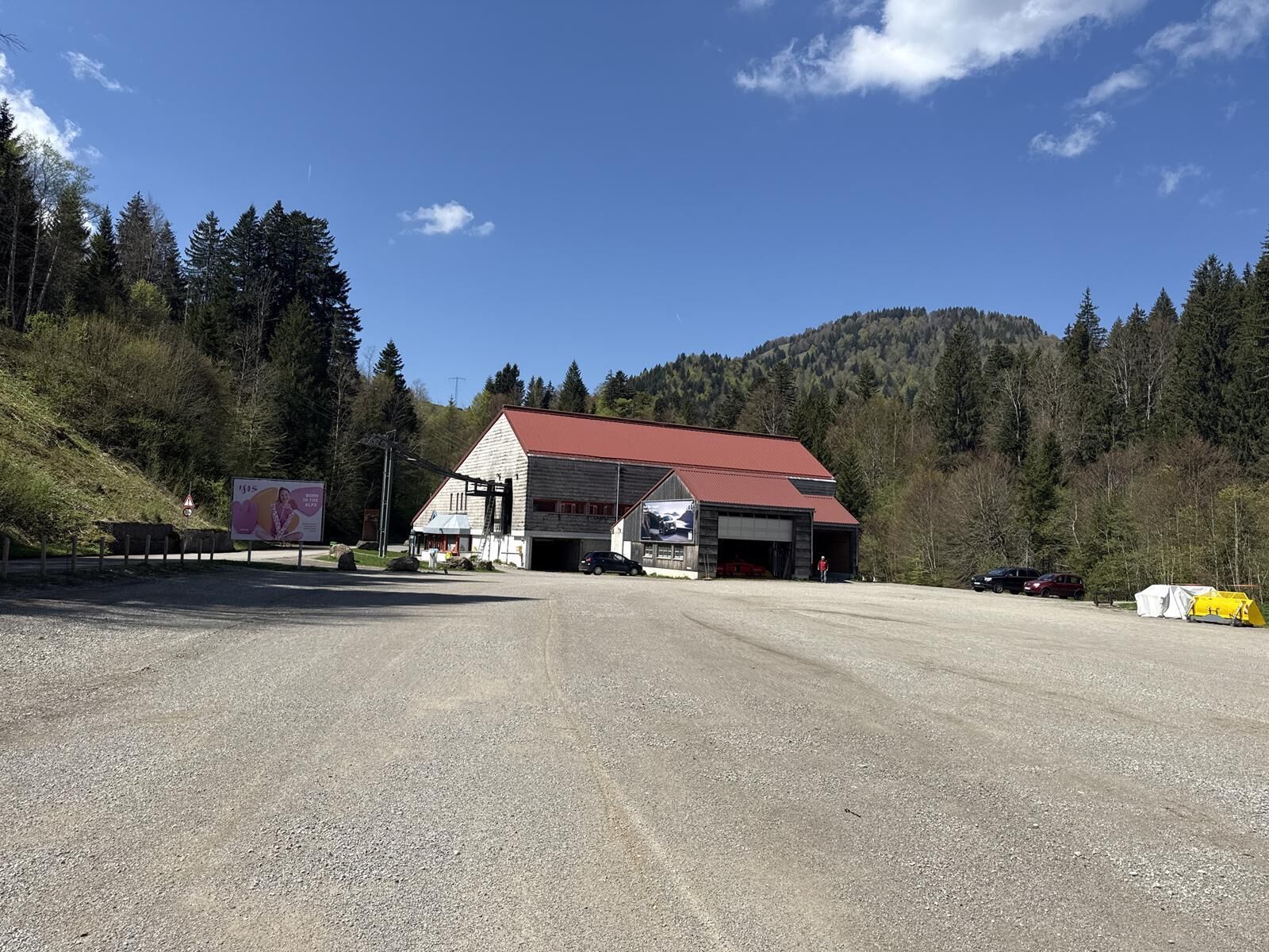
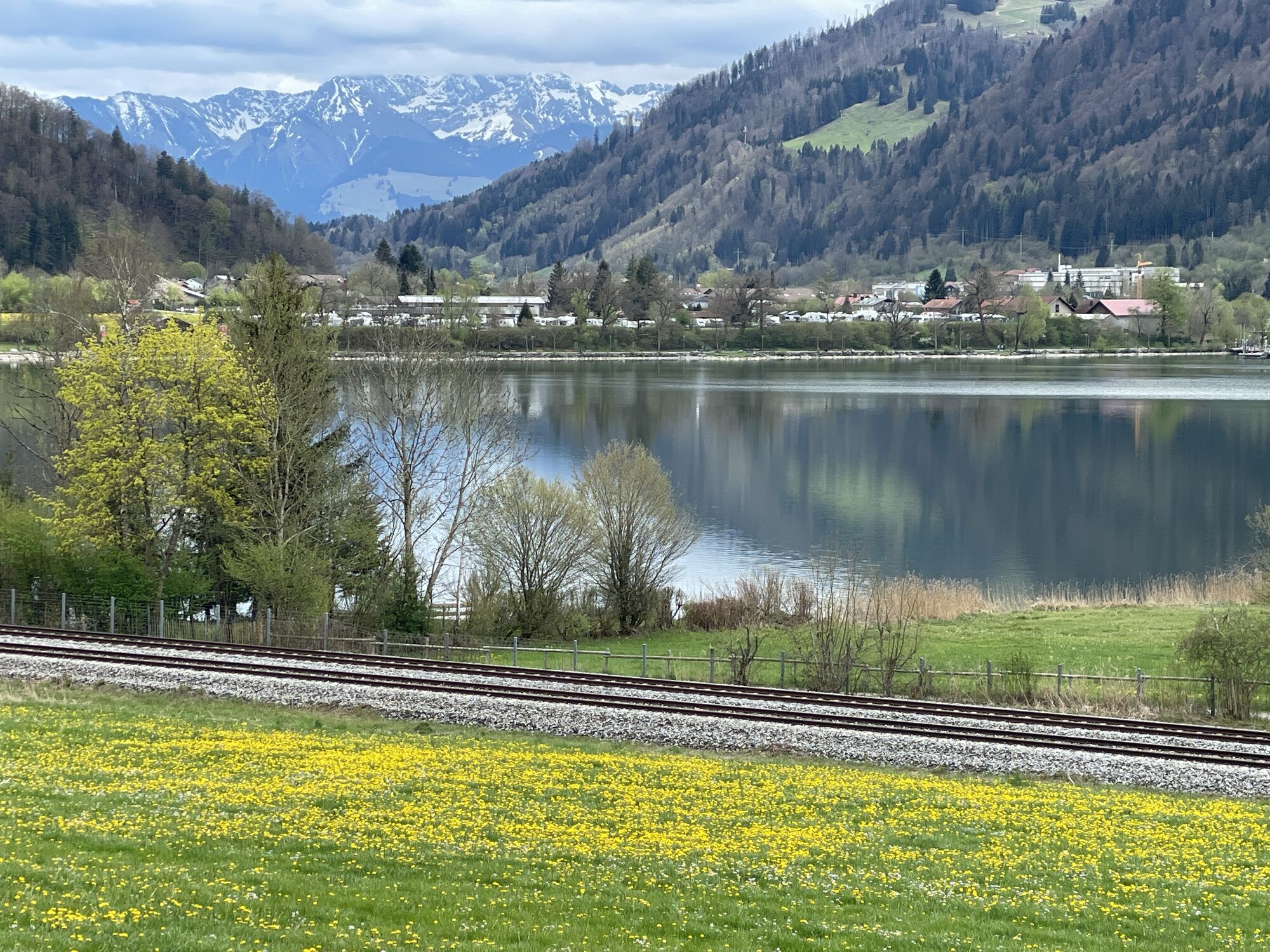
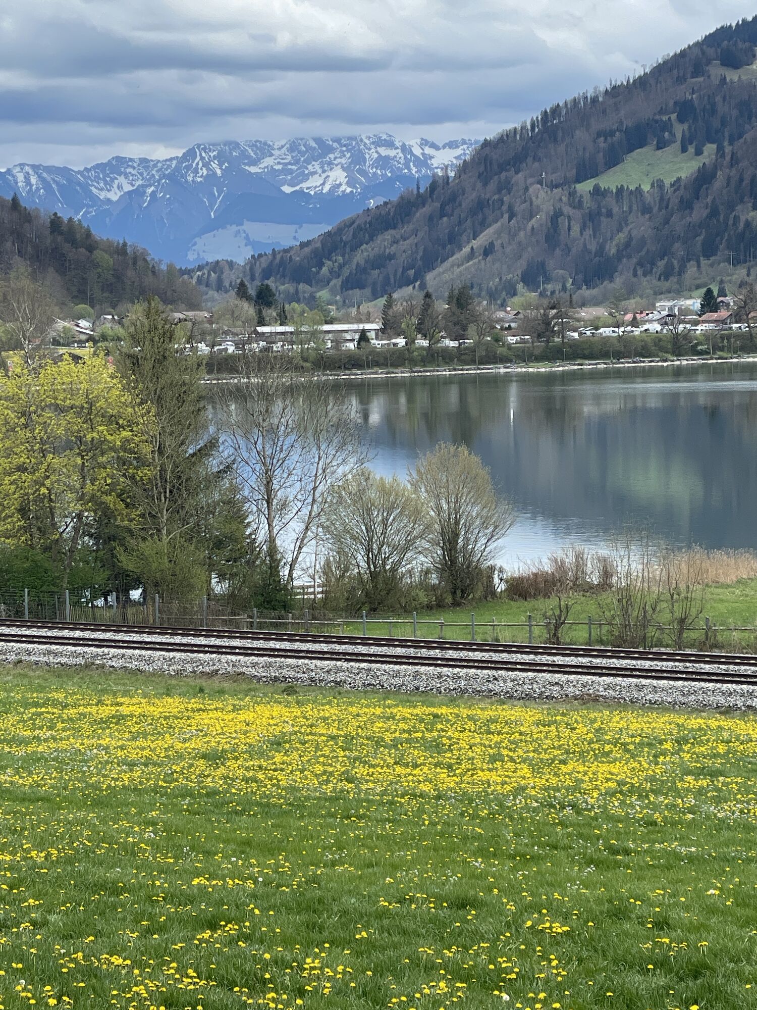
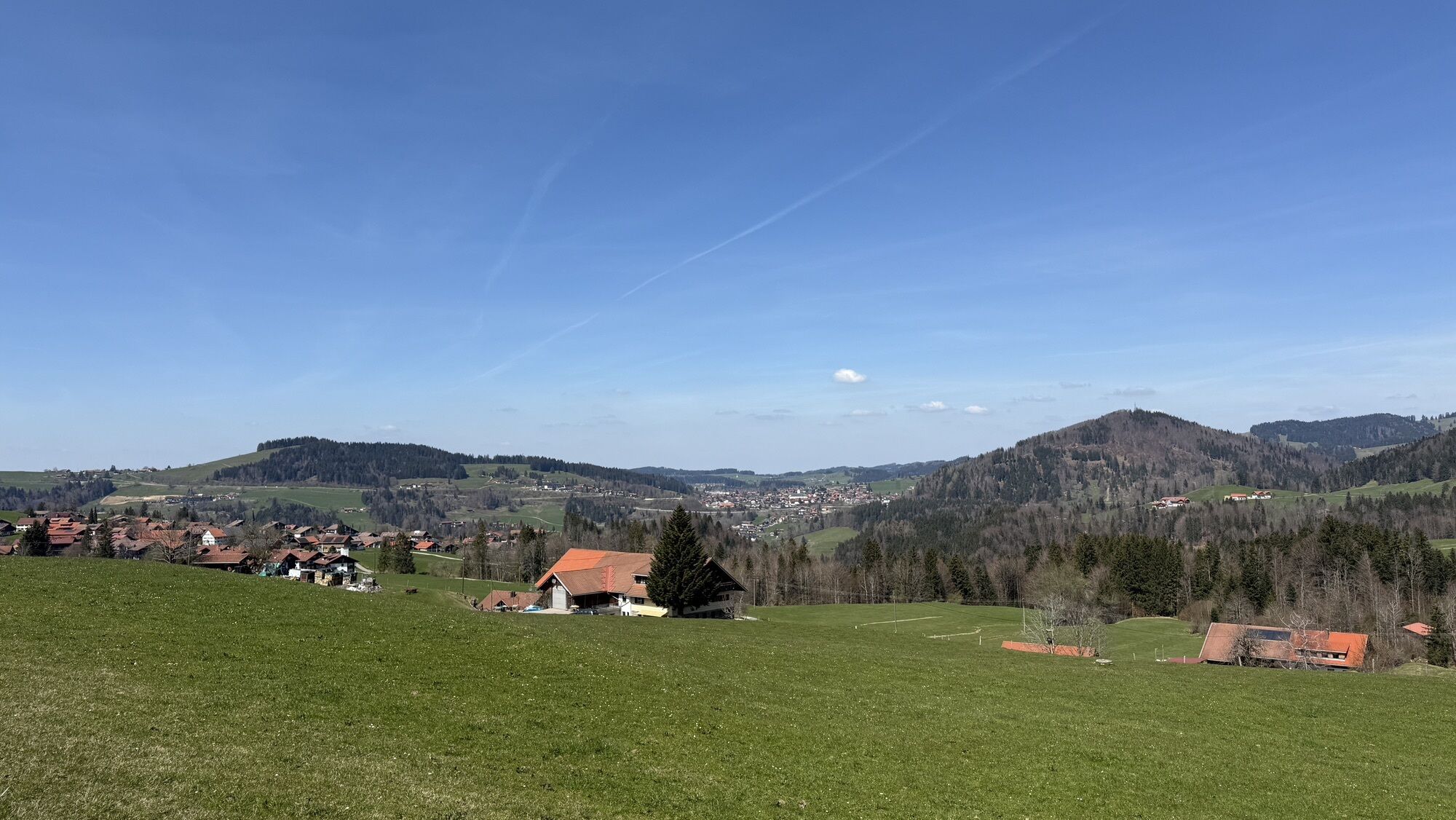
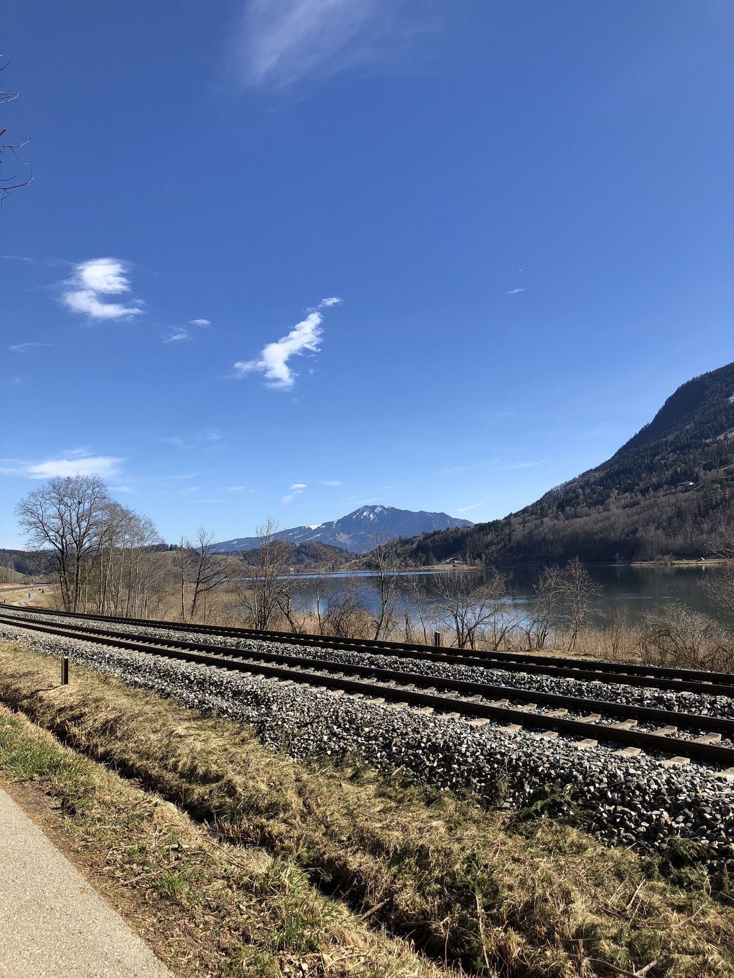
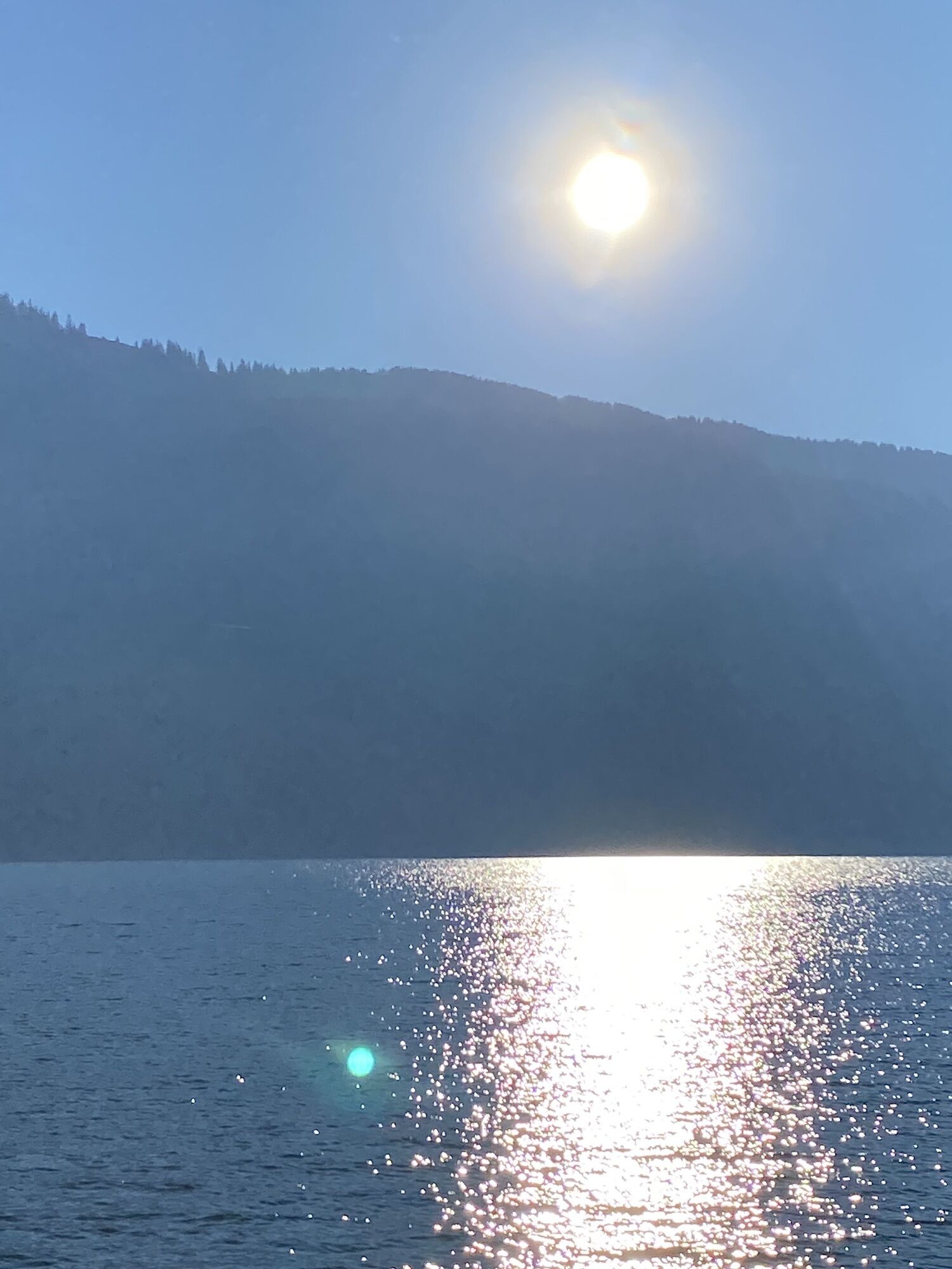
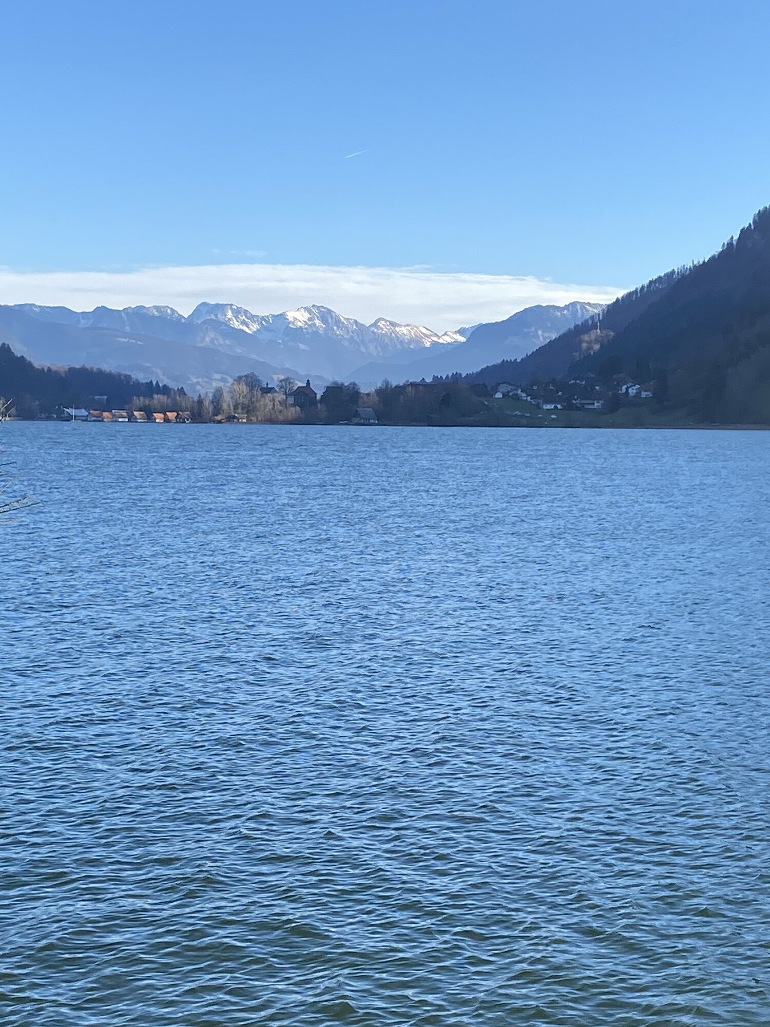
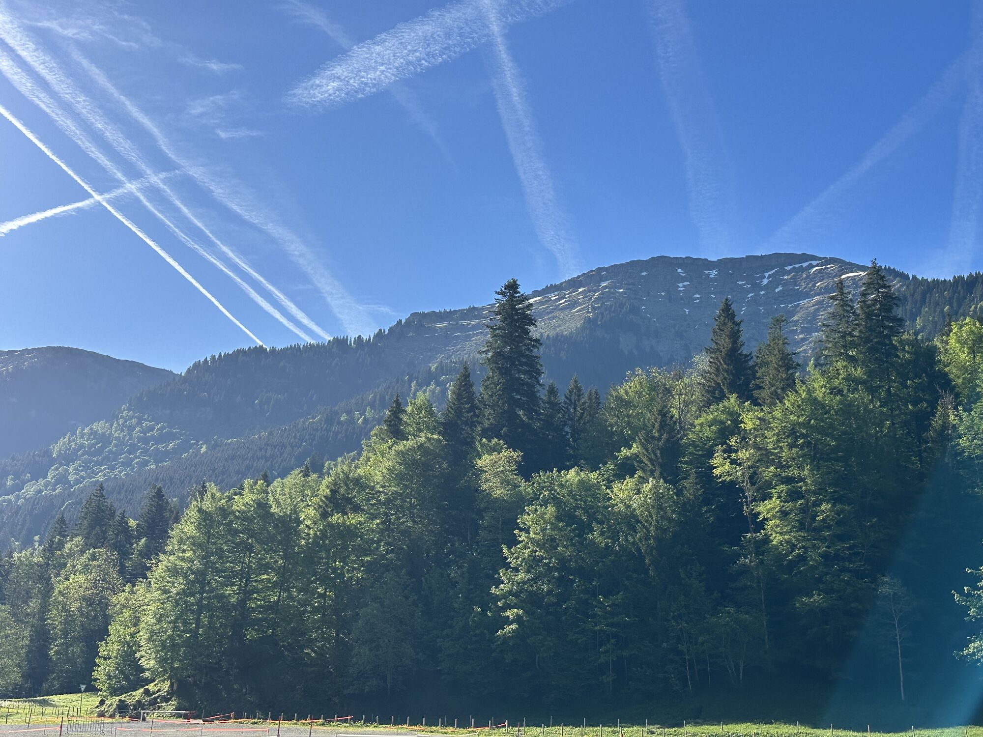
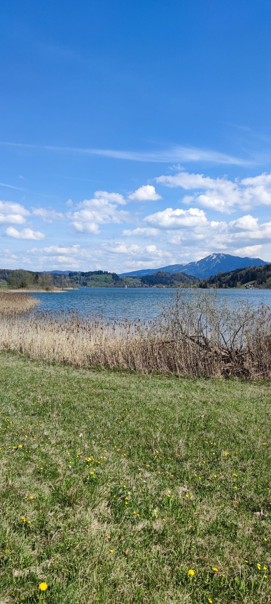
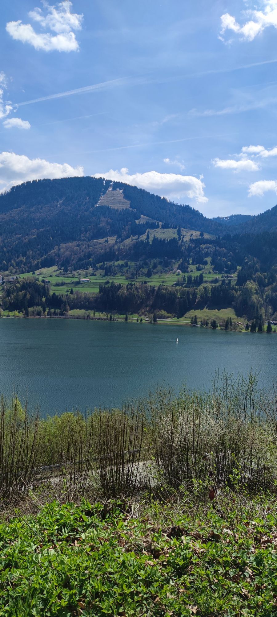
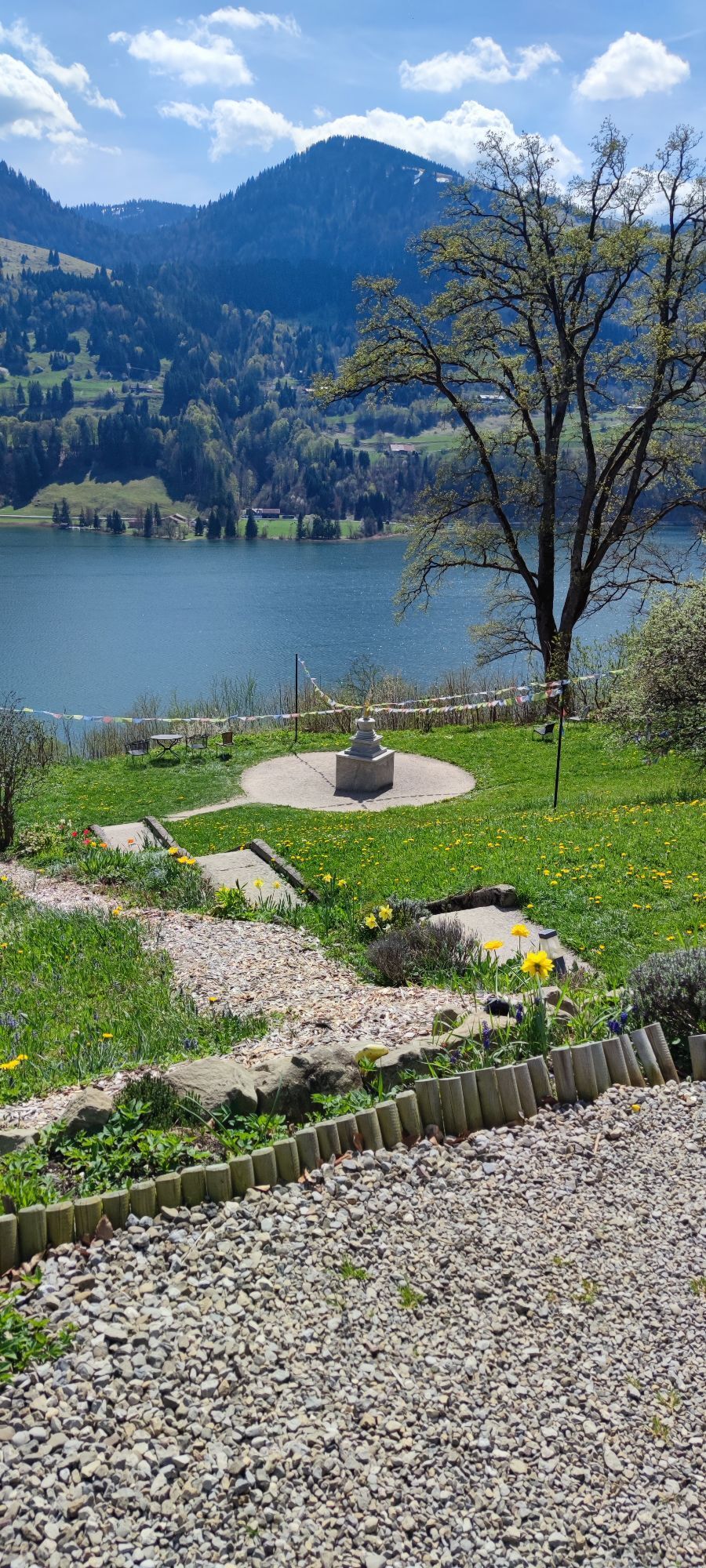
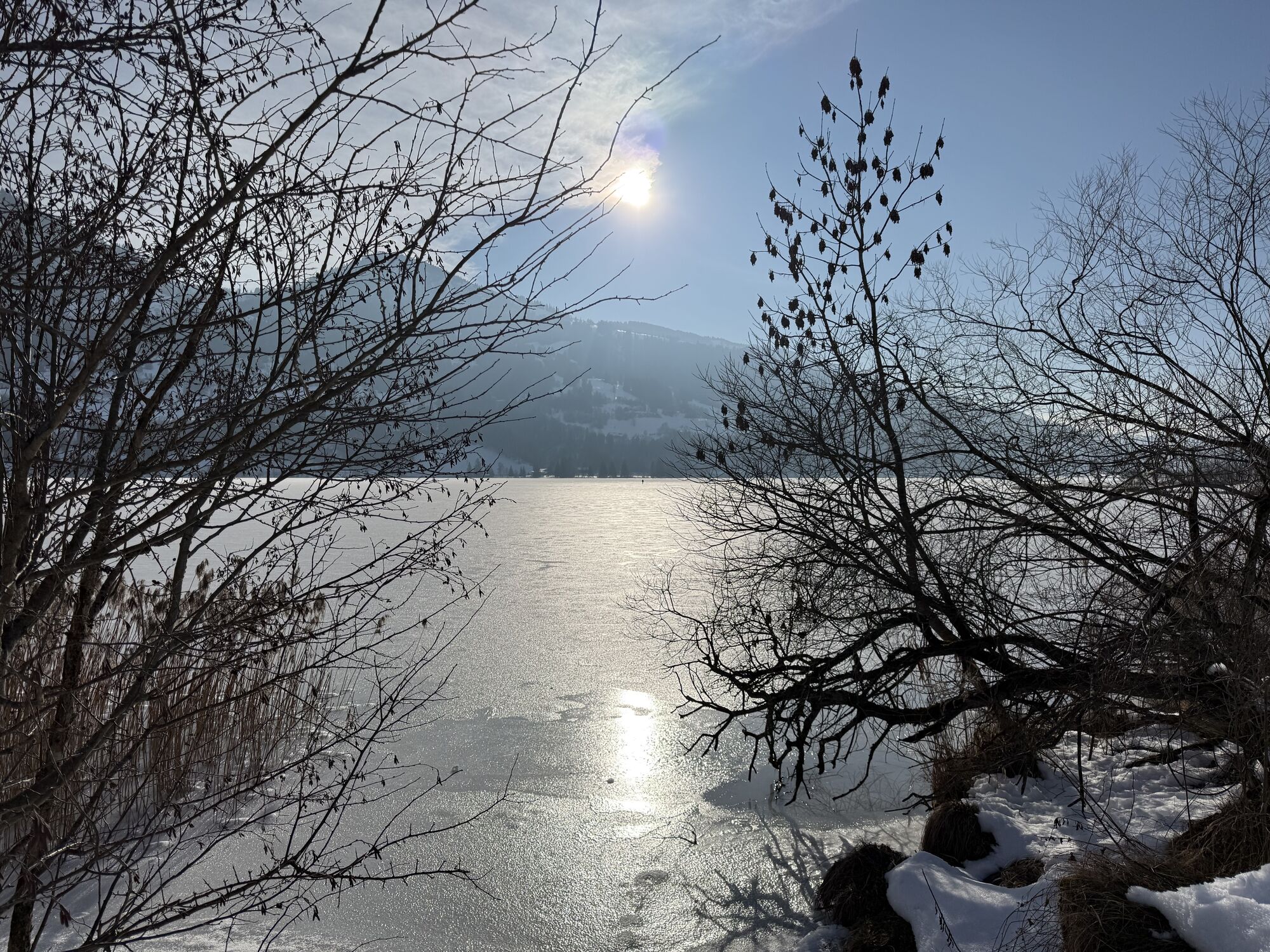
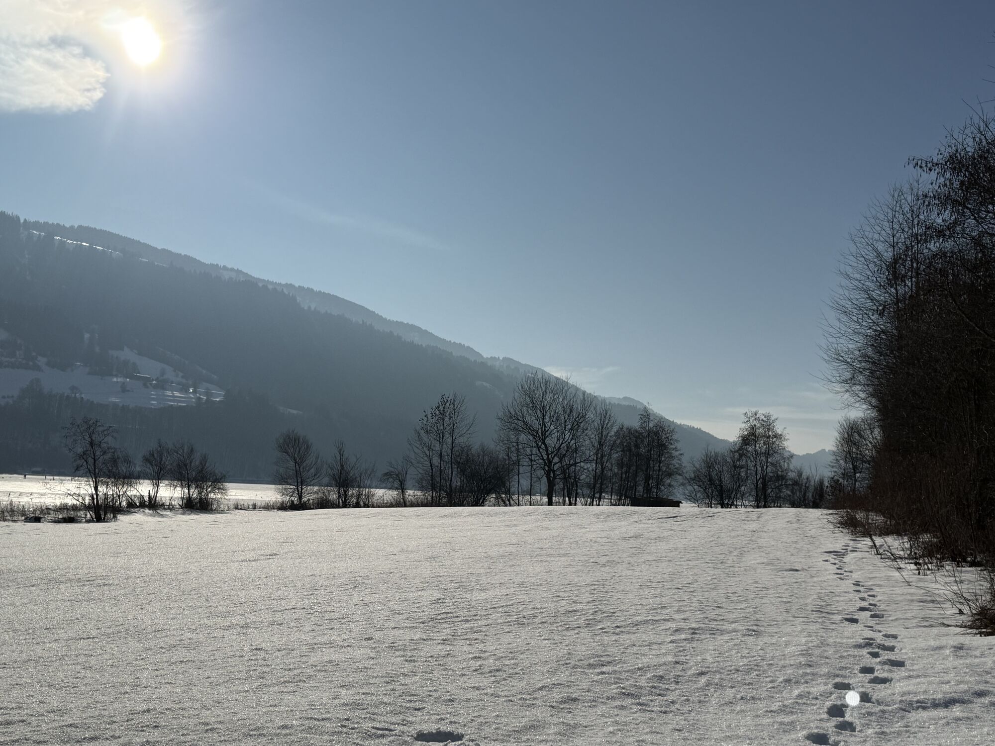
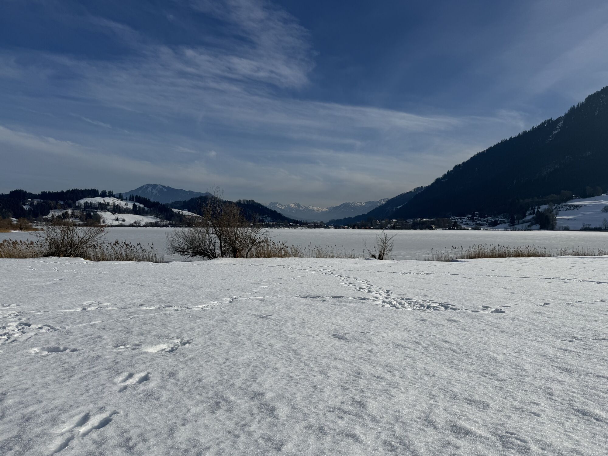
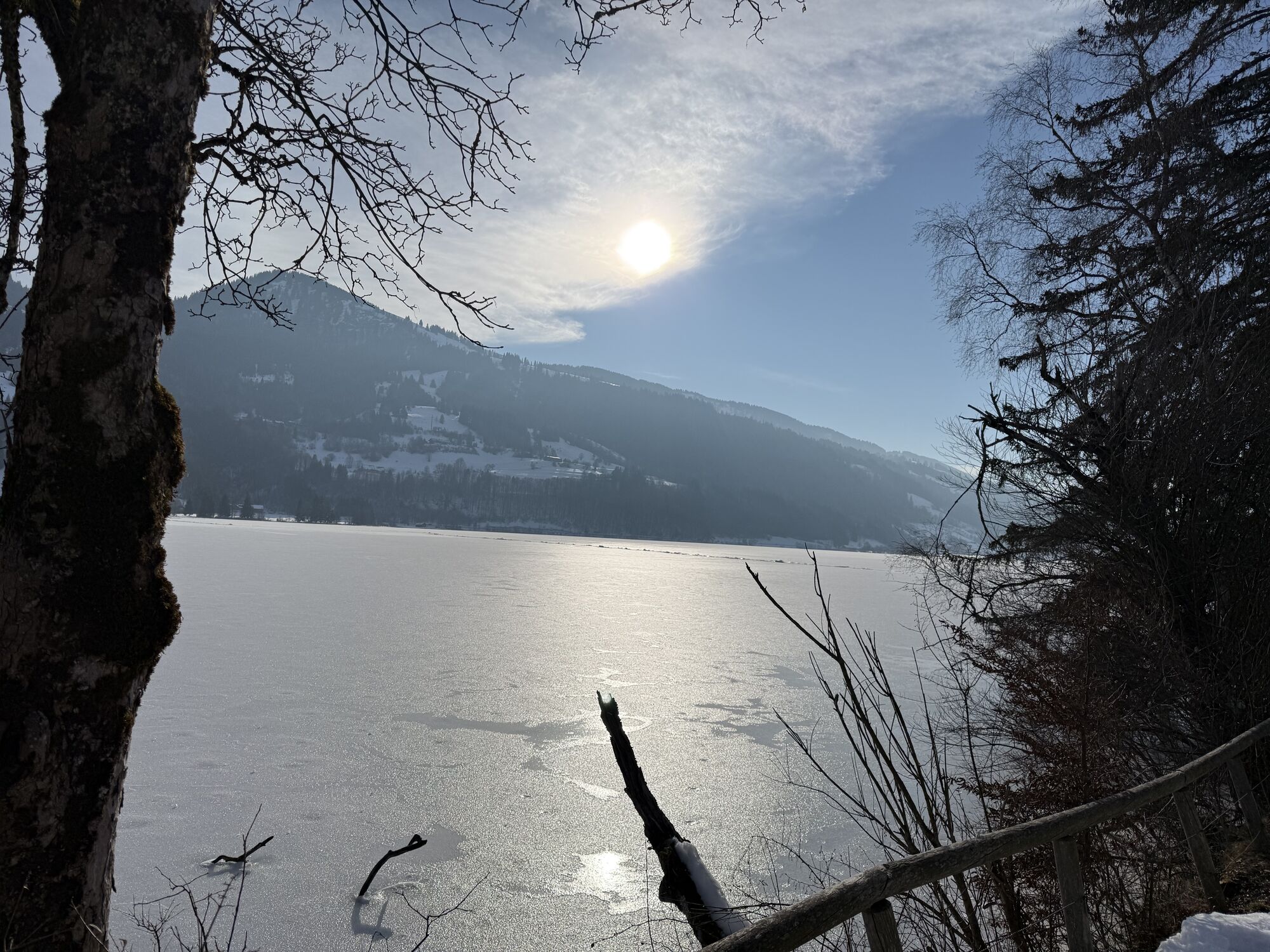
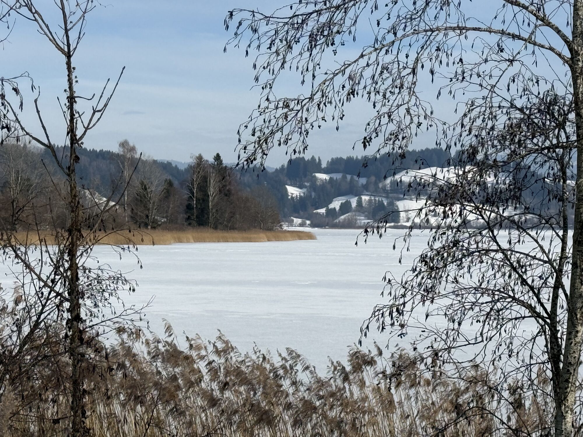
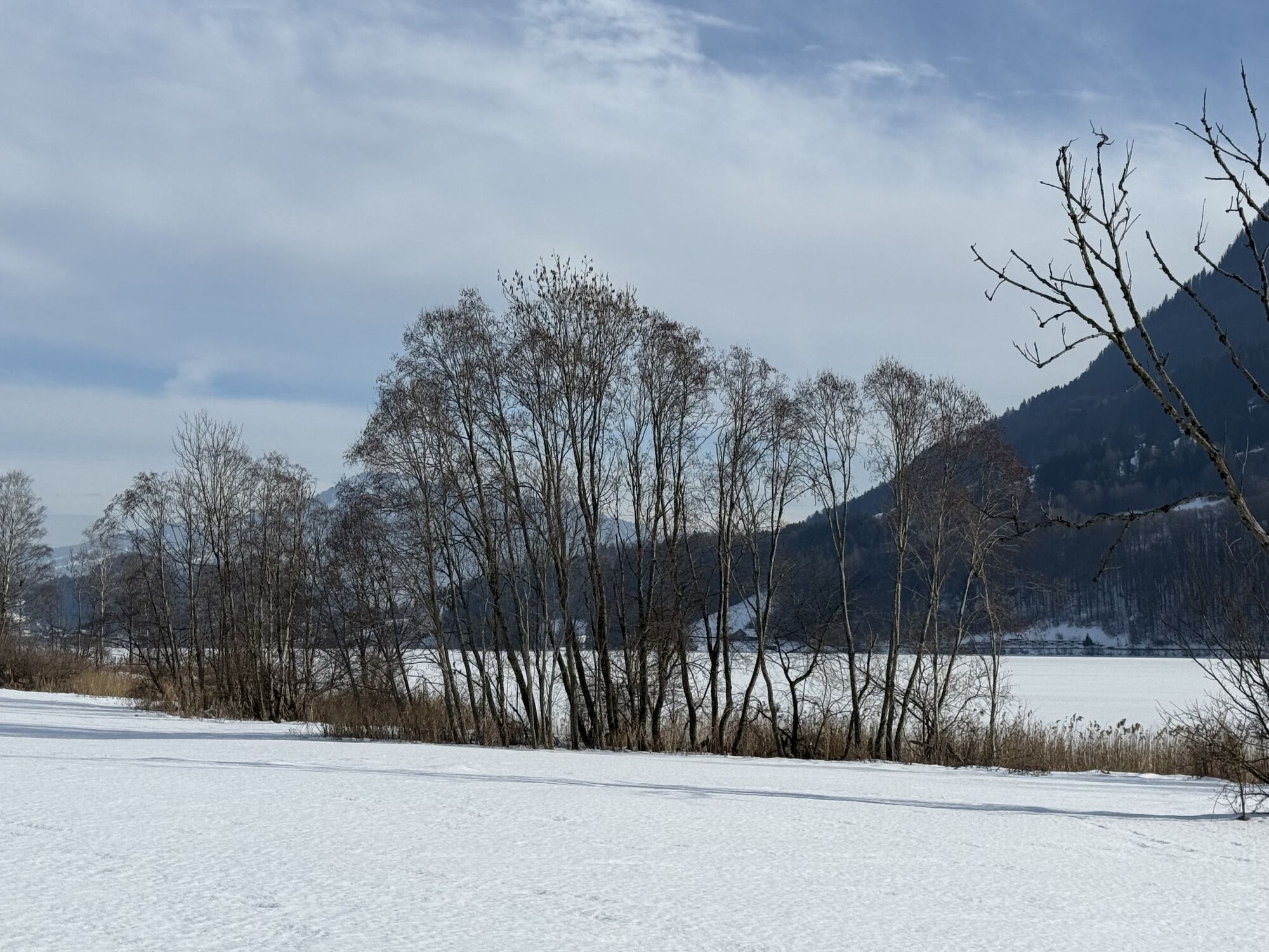
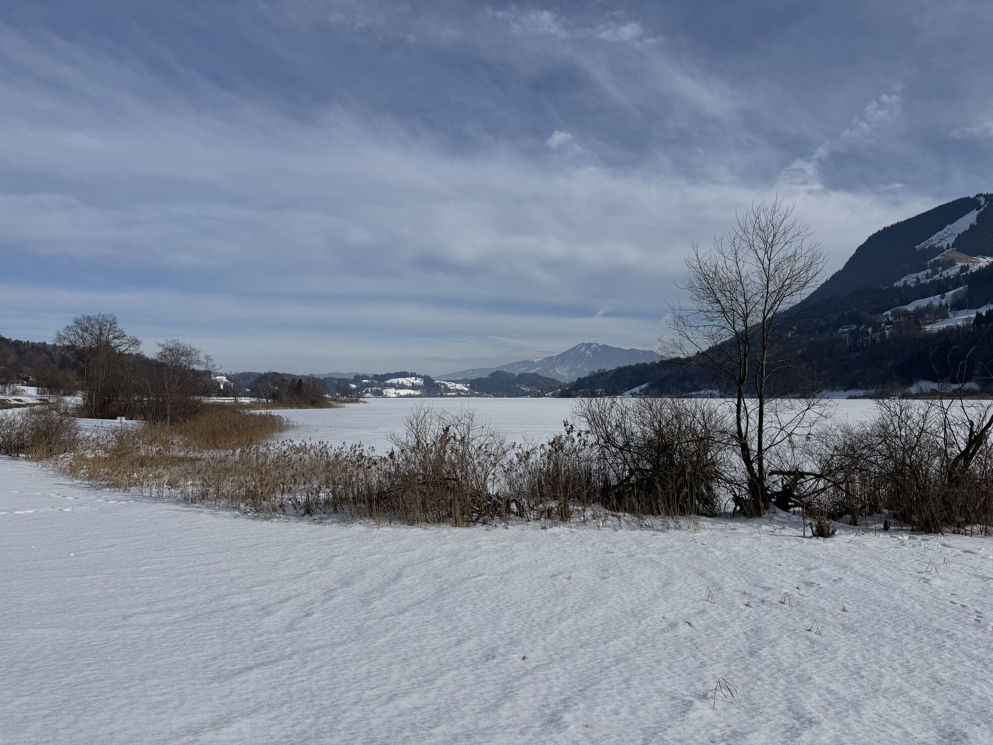
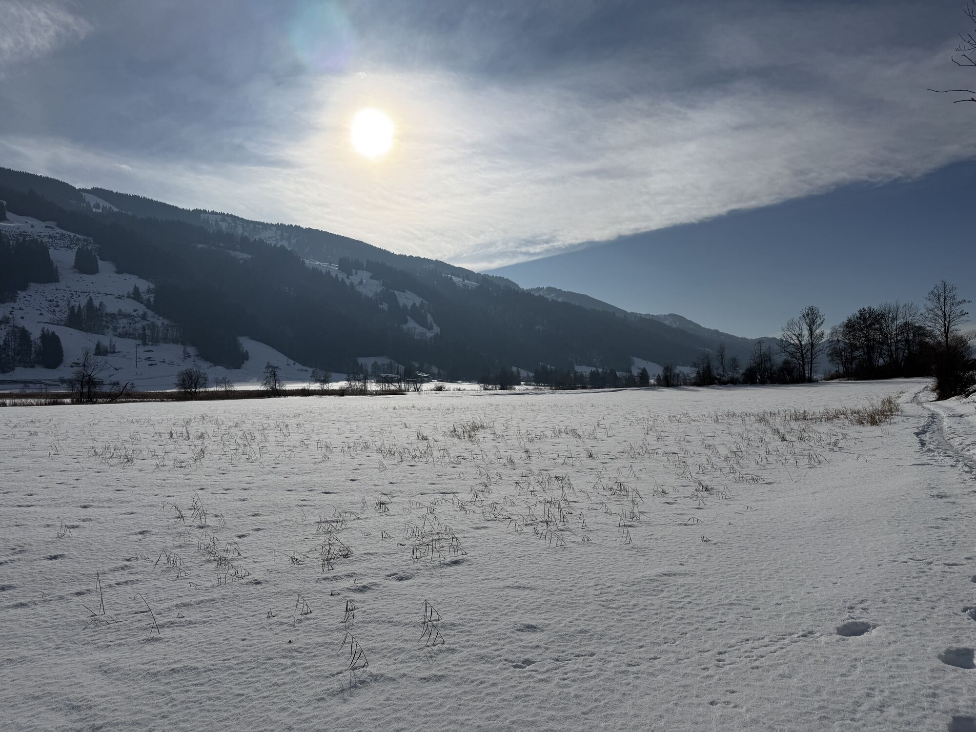
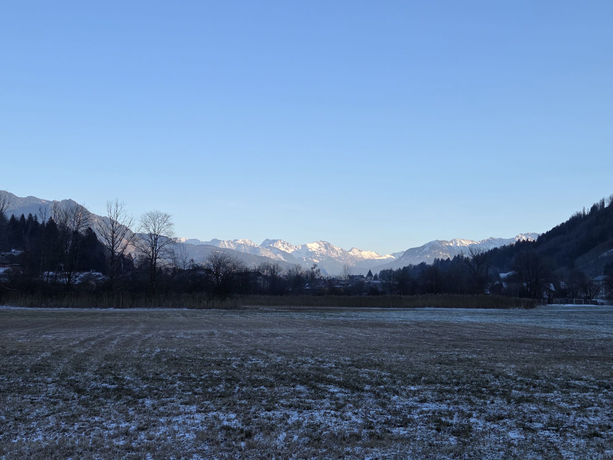
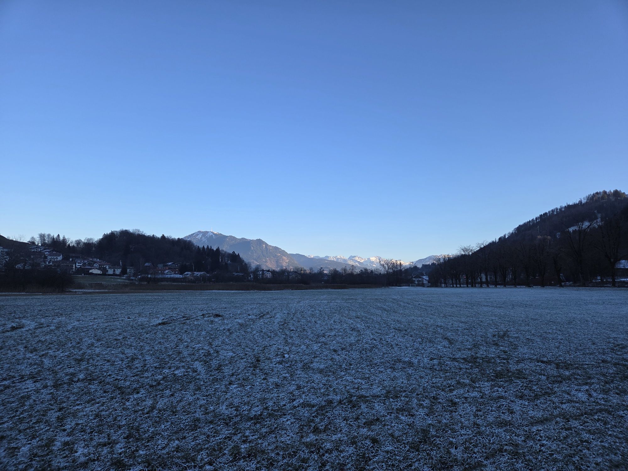
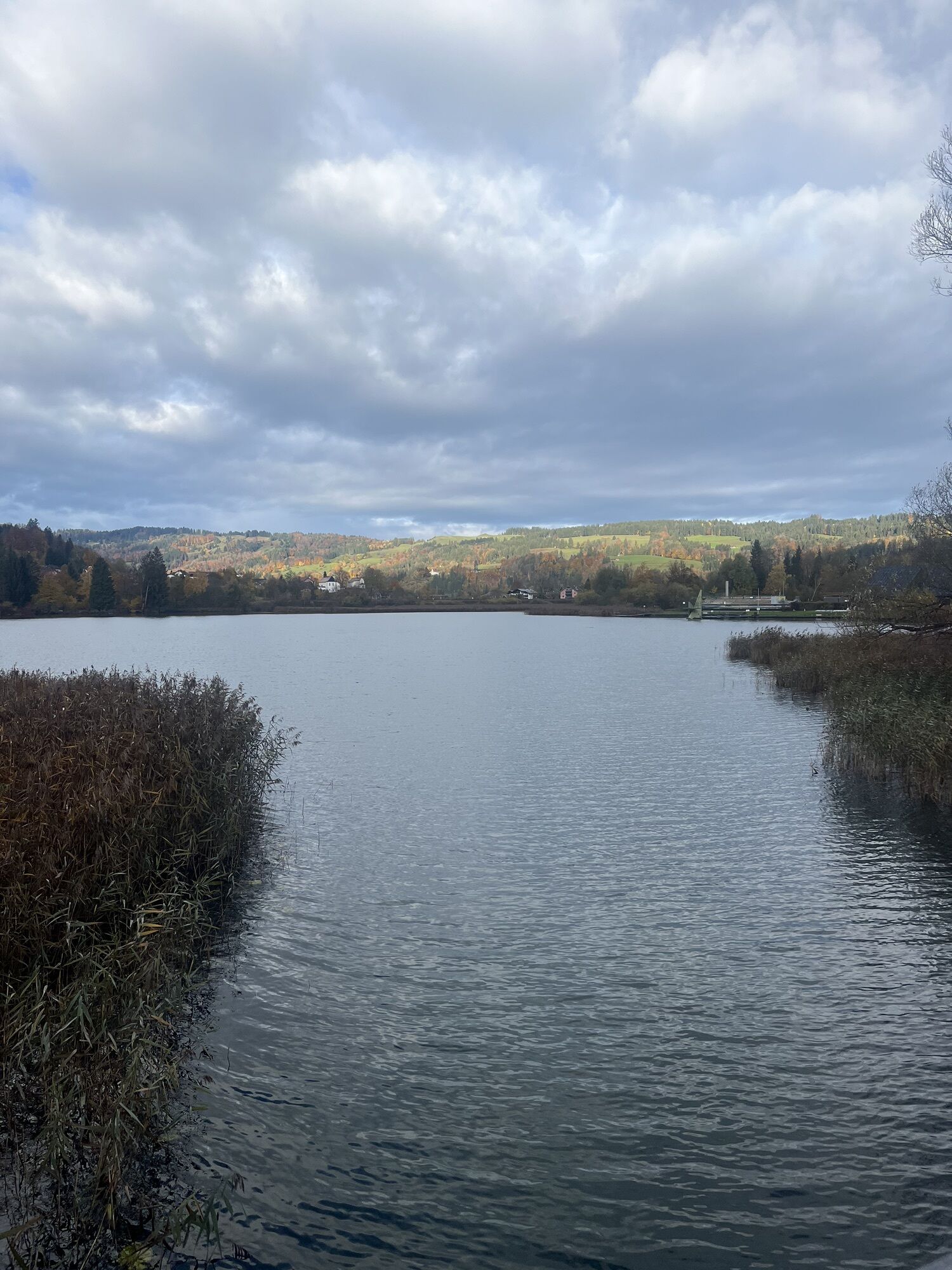
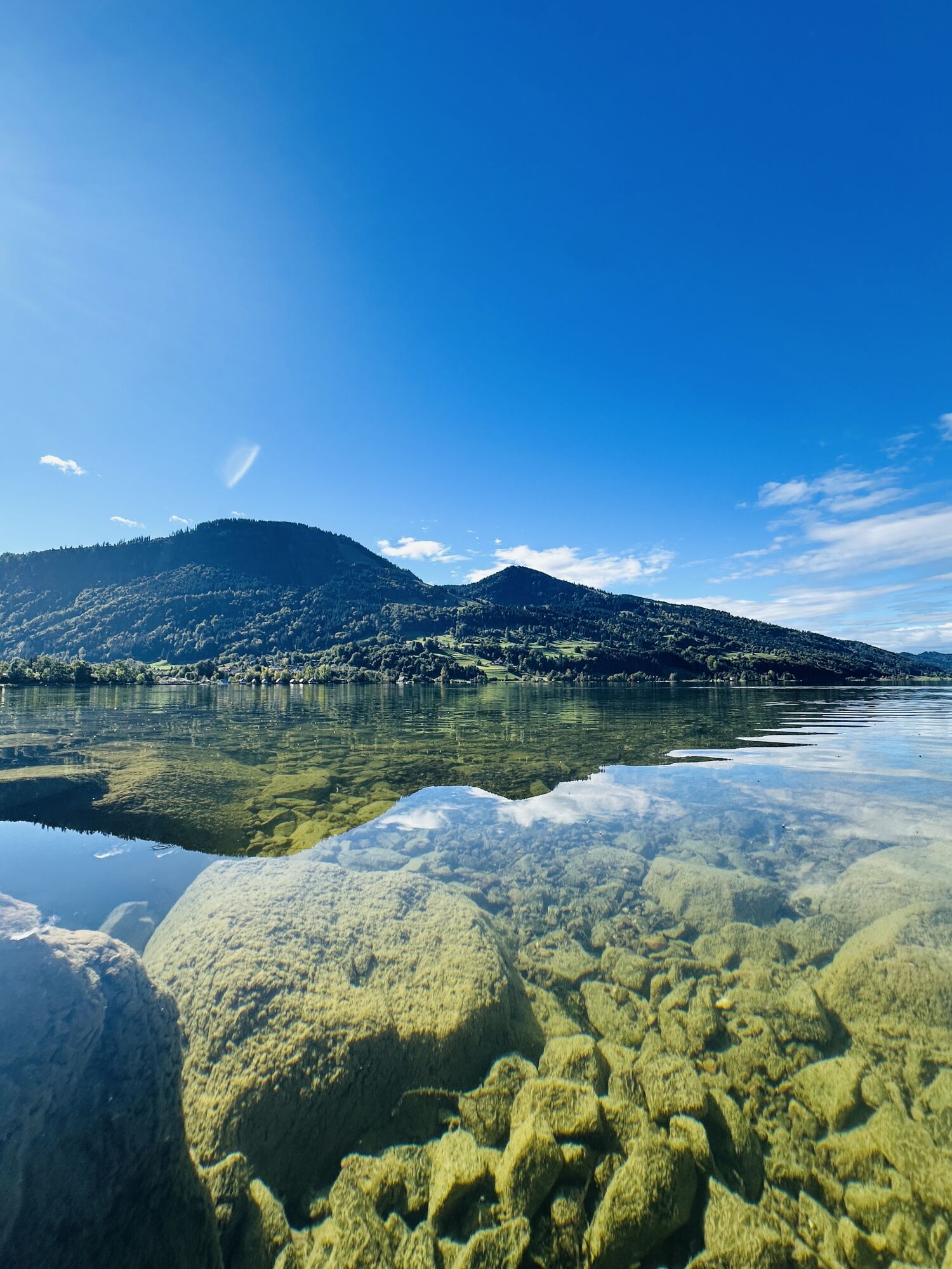
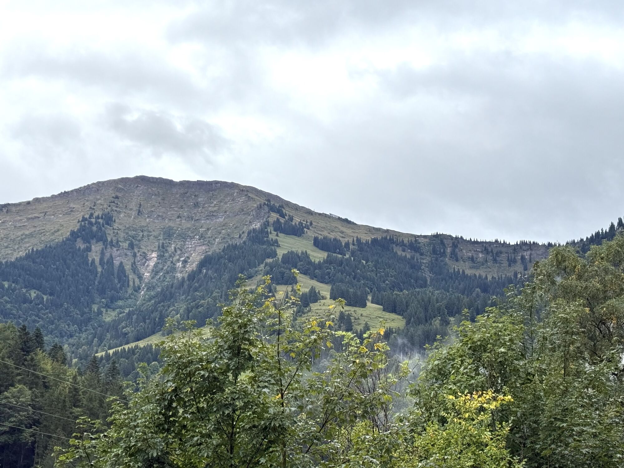


The tour starts at the Viehmarktplatz in Immenstadt. From there, the route leads along the bathing path to the Kleiner Alpsee outdoor pool and on to Bühl am Alpsee, a district of Immenstadt. The route...
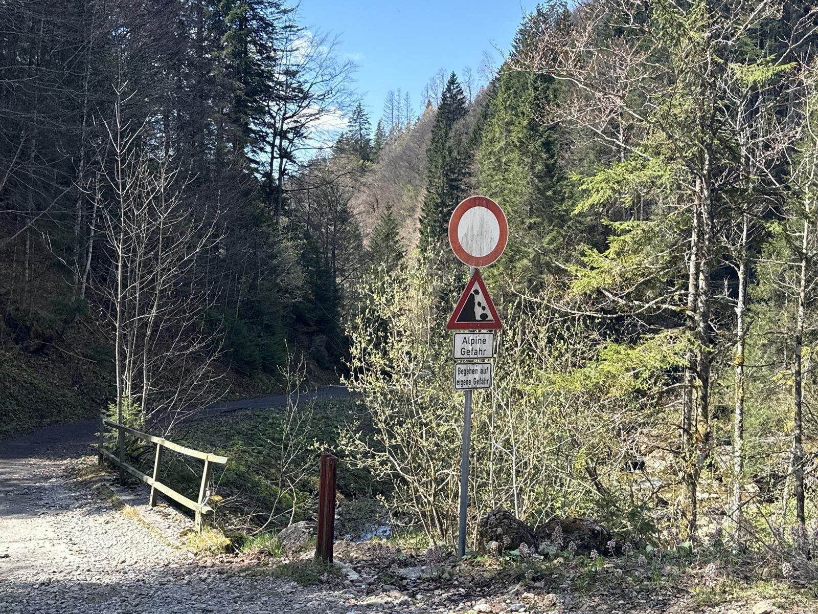
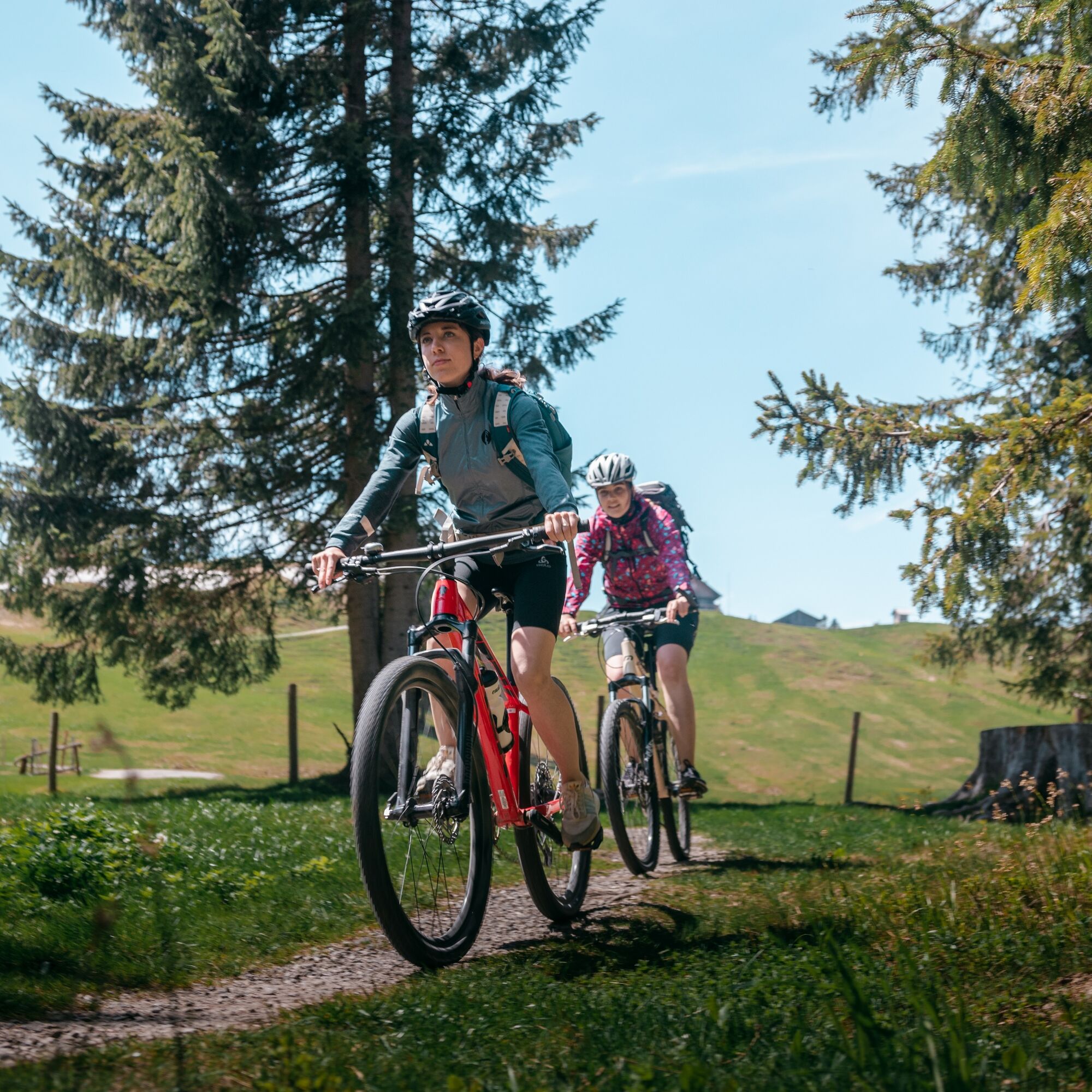
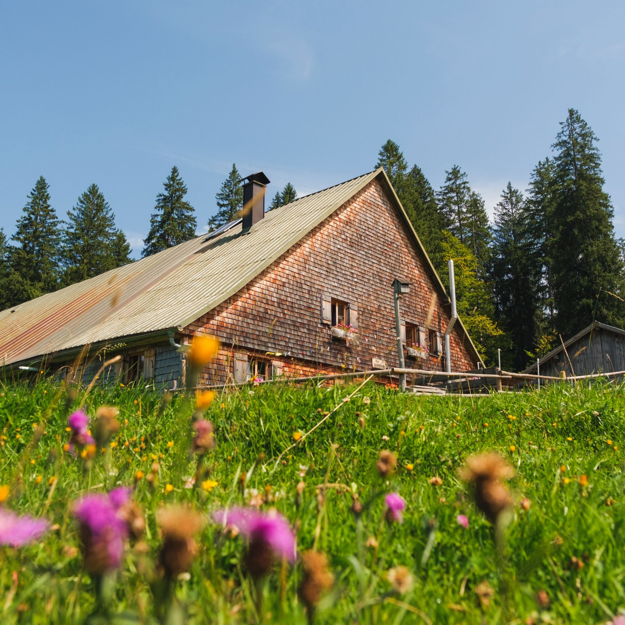
The historic salt road is followed straight ahead via several small hamlets to a traffic circle at the Hündle valley station. At the end of the village, turn left along a shortcut and continue past farms in the direction of Steibis. The route leads through the village to the Hochgratbahn valley station. Shortly afterwards, you pass the Eibele-Alpe, where you can enjoy a cold drink and delicious treats in the sun.
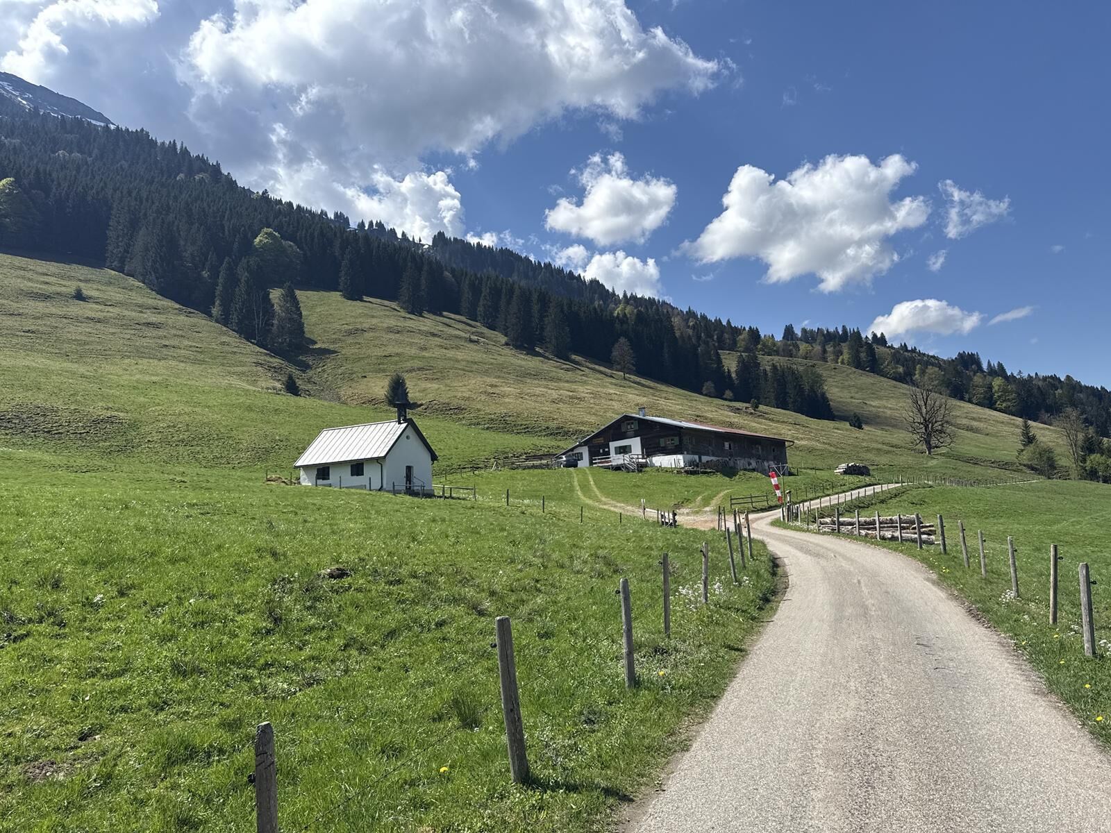
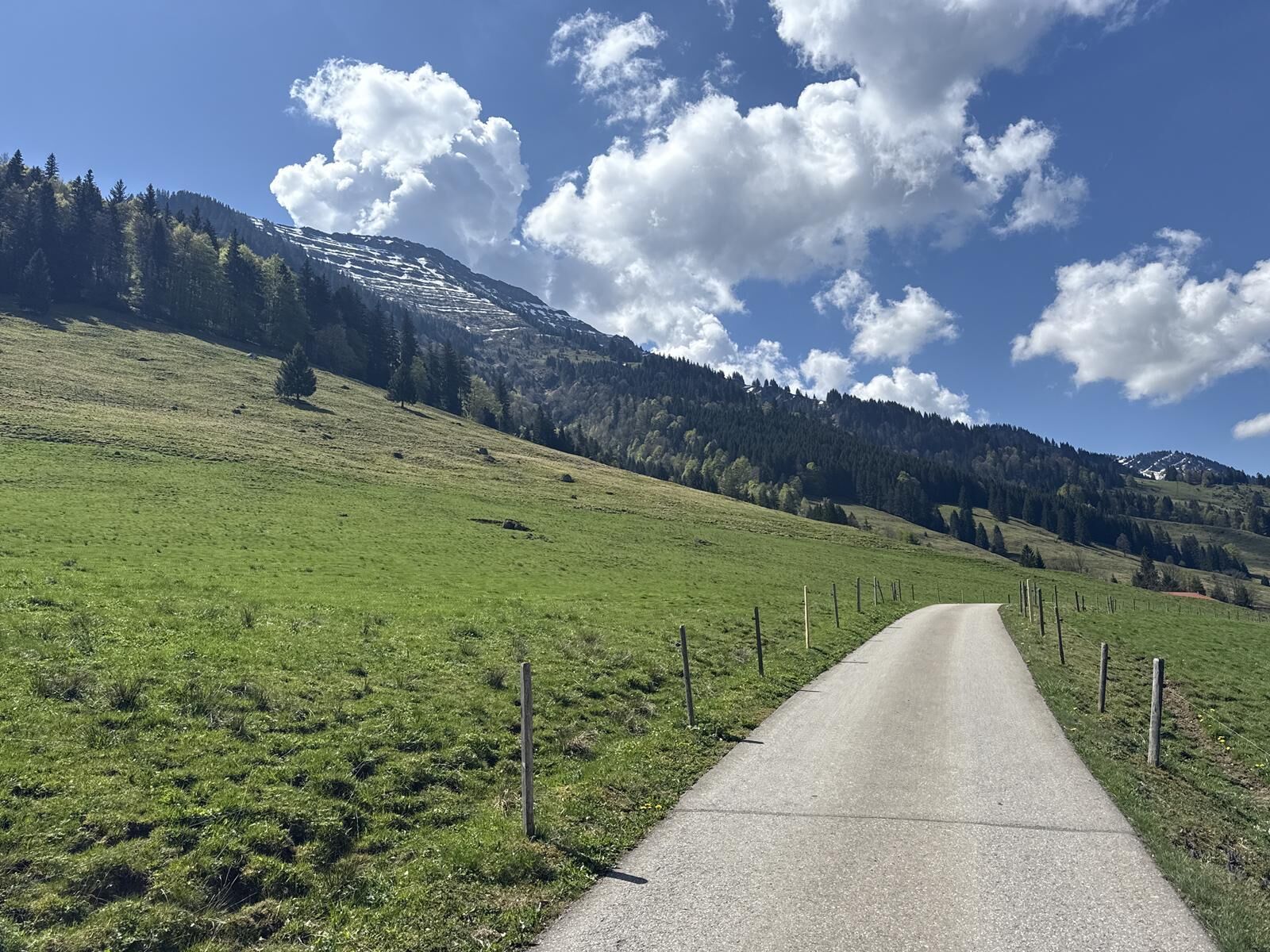
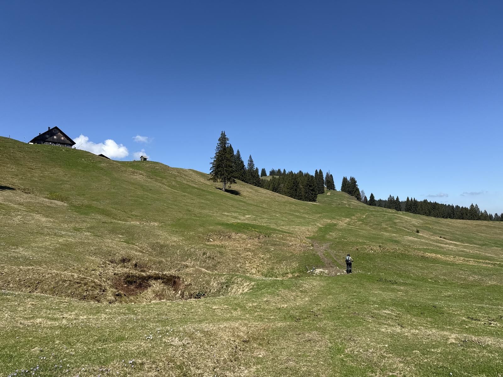
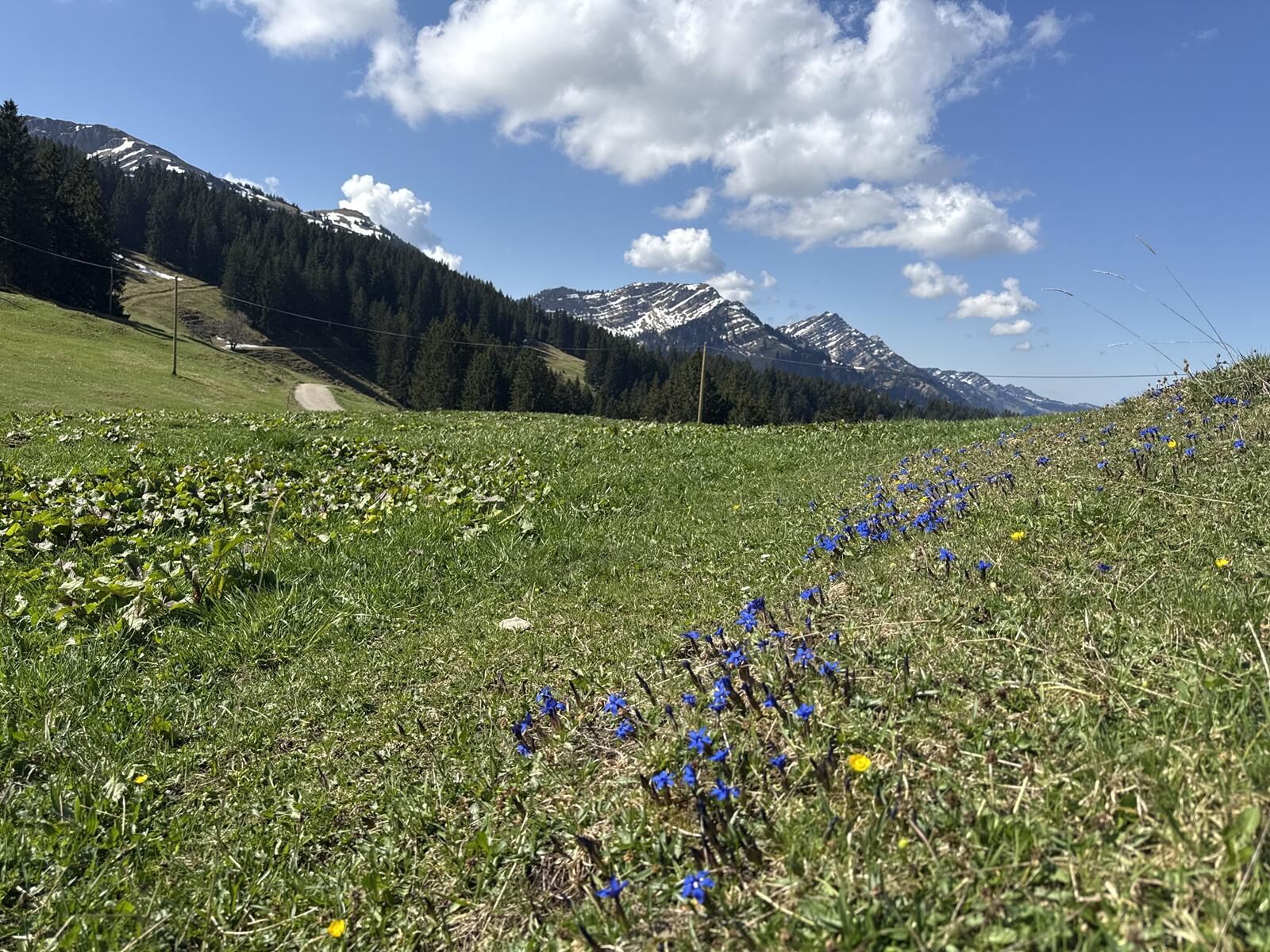
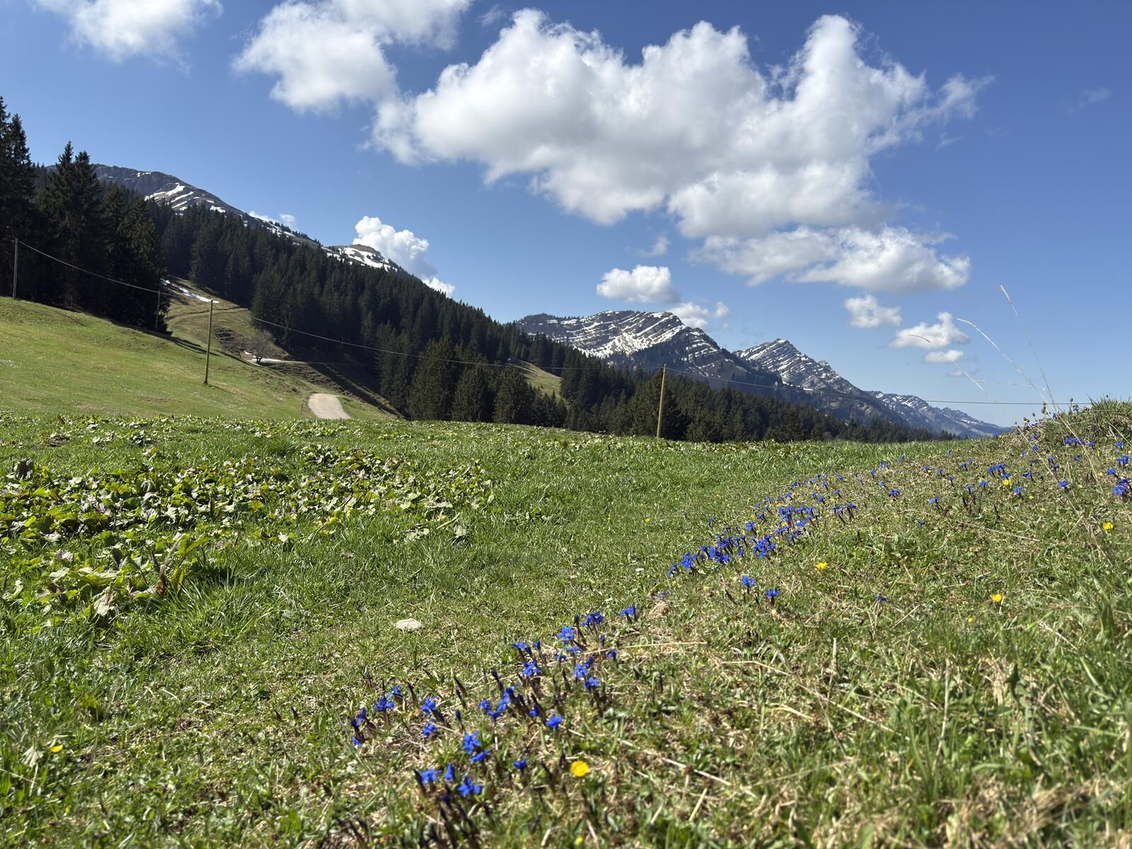
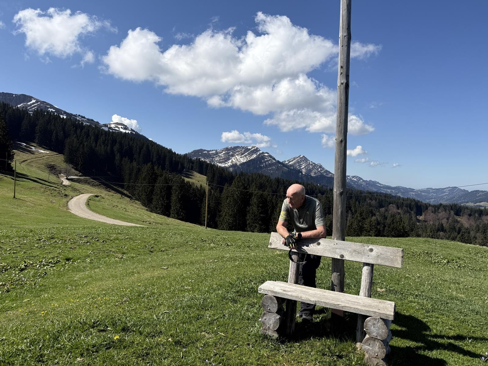
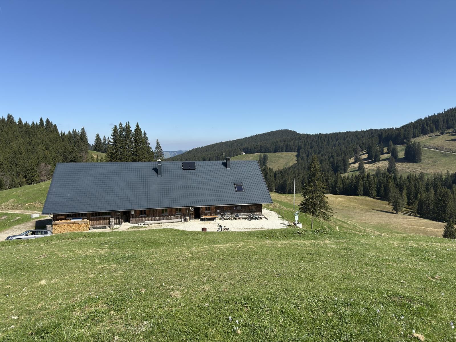
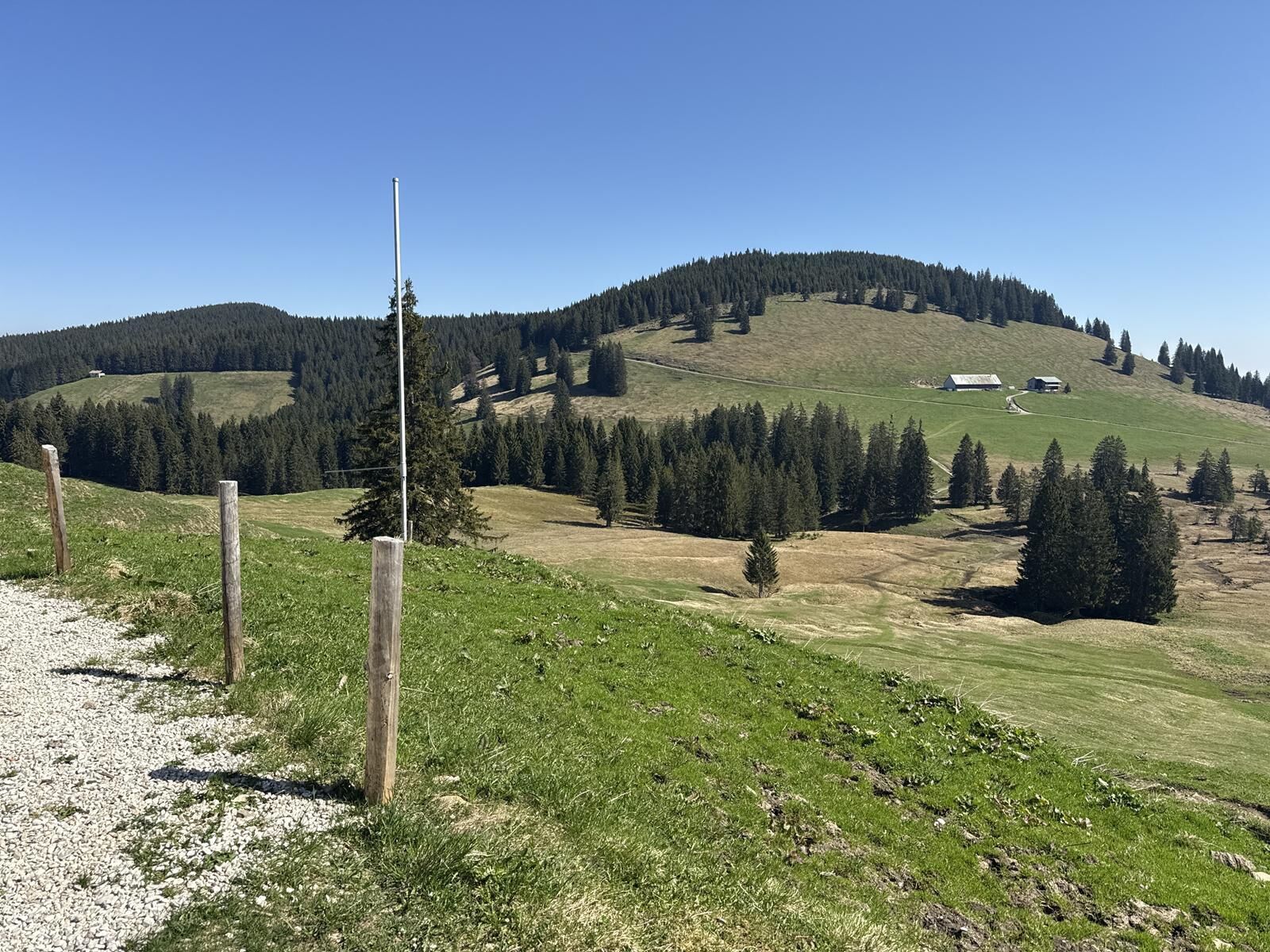
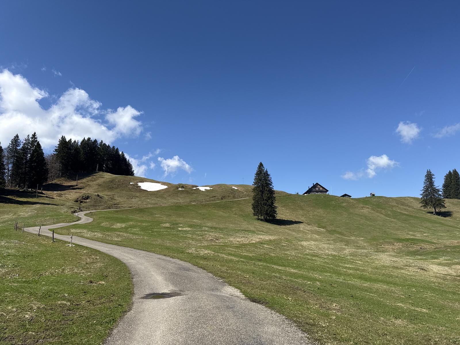
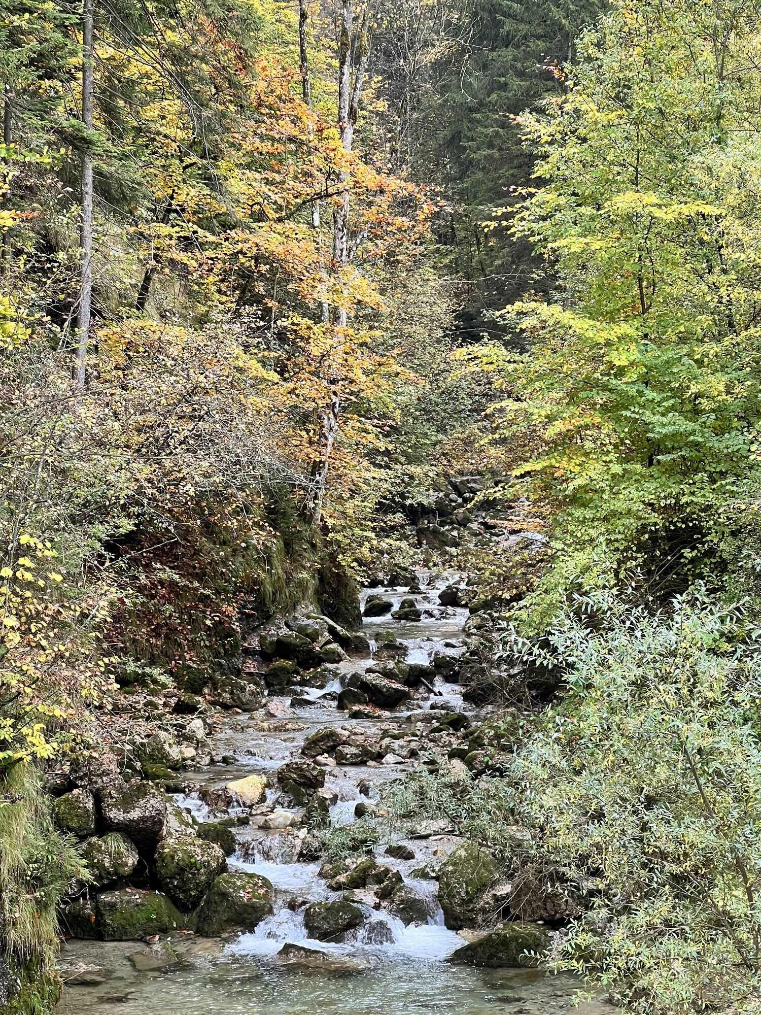
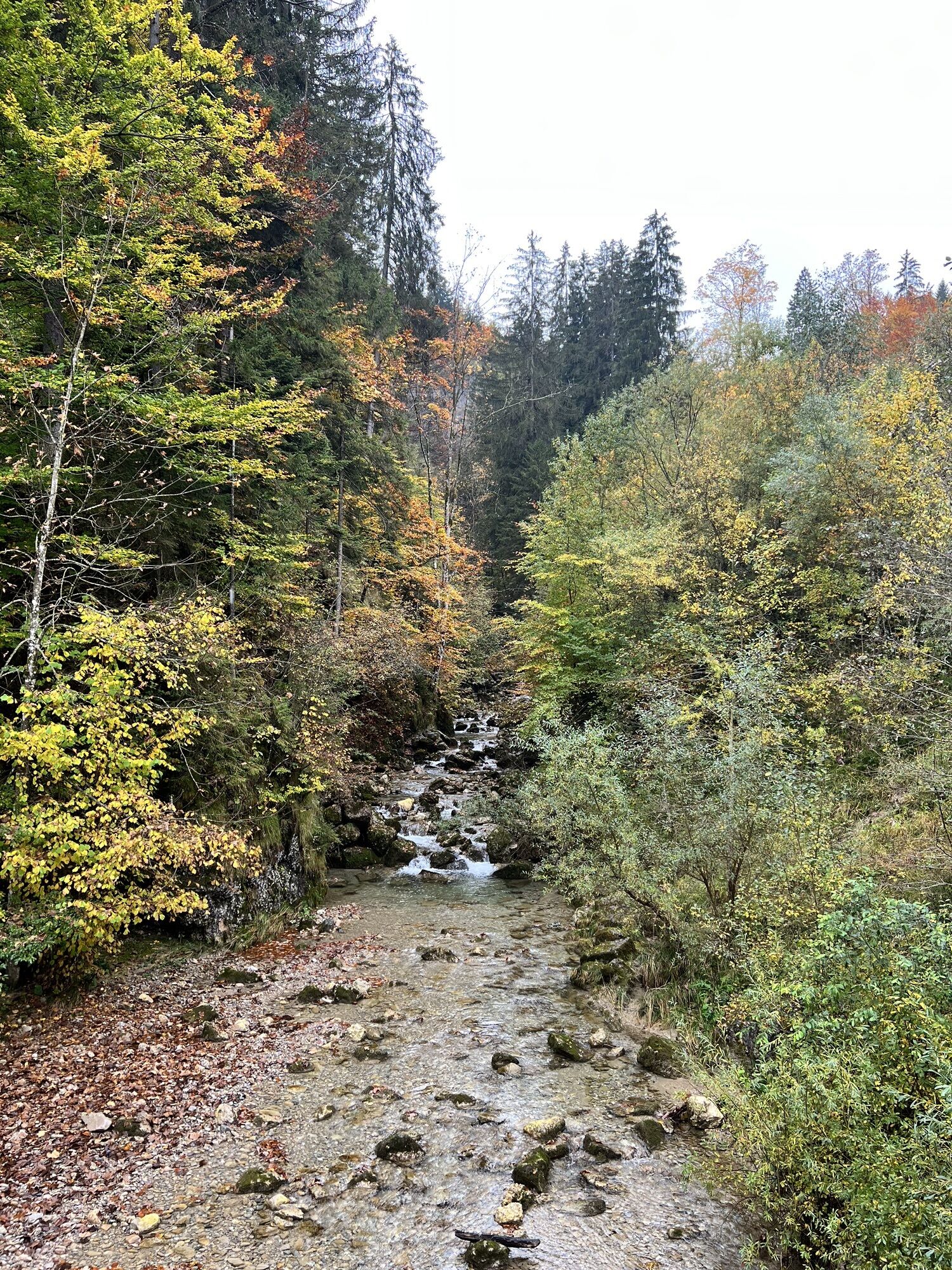
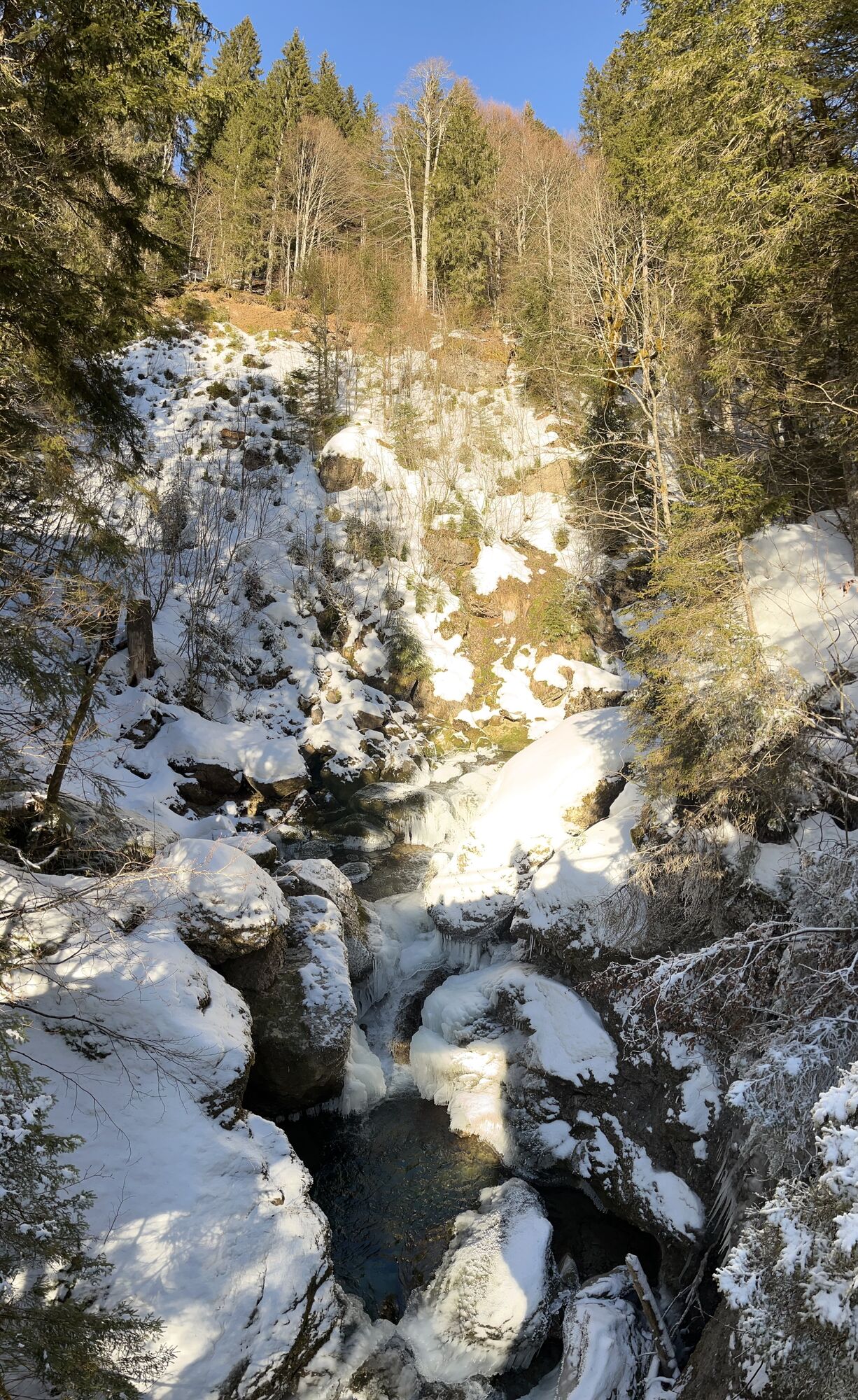
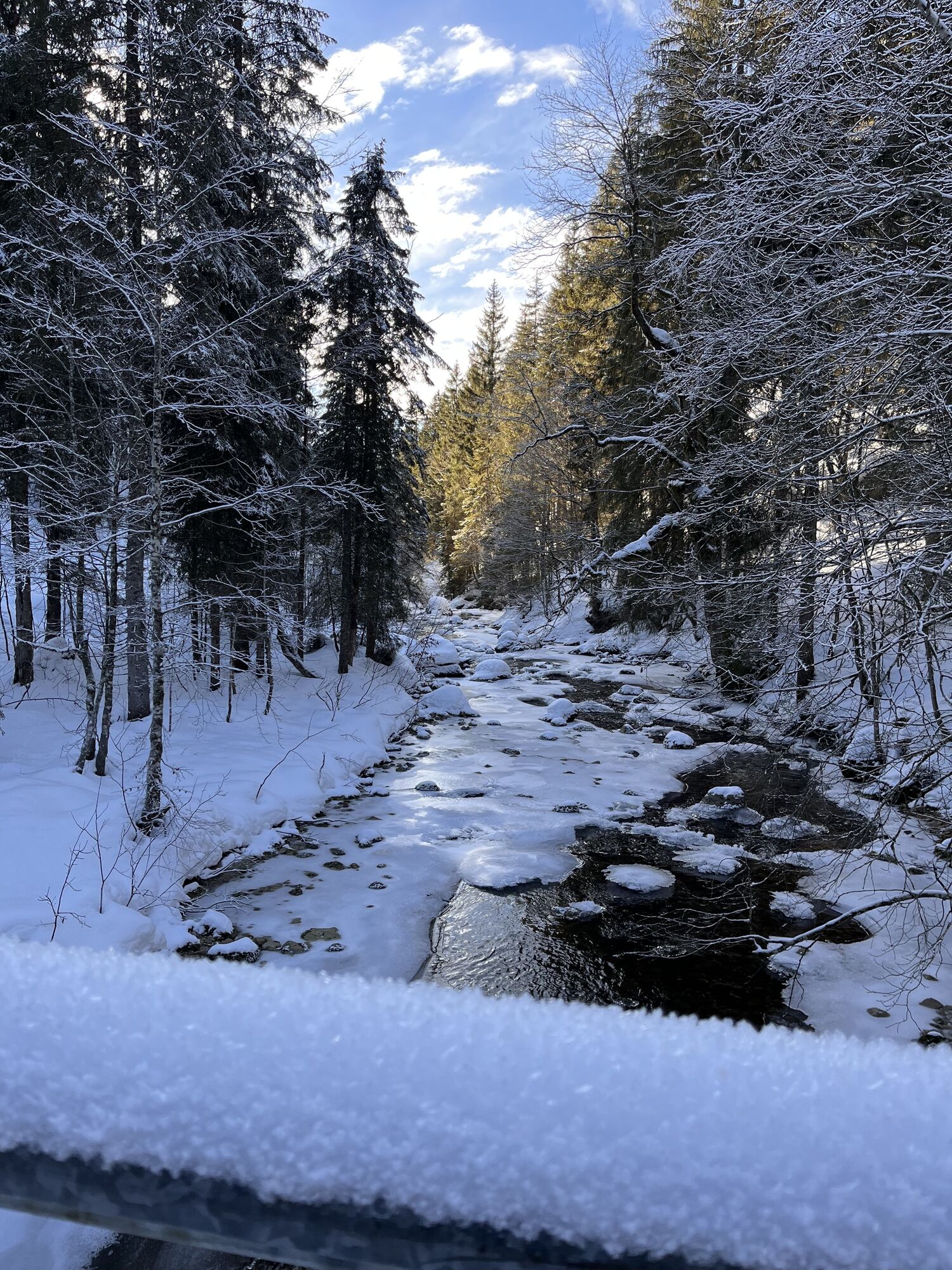
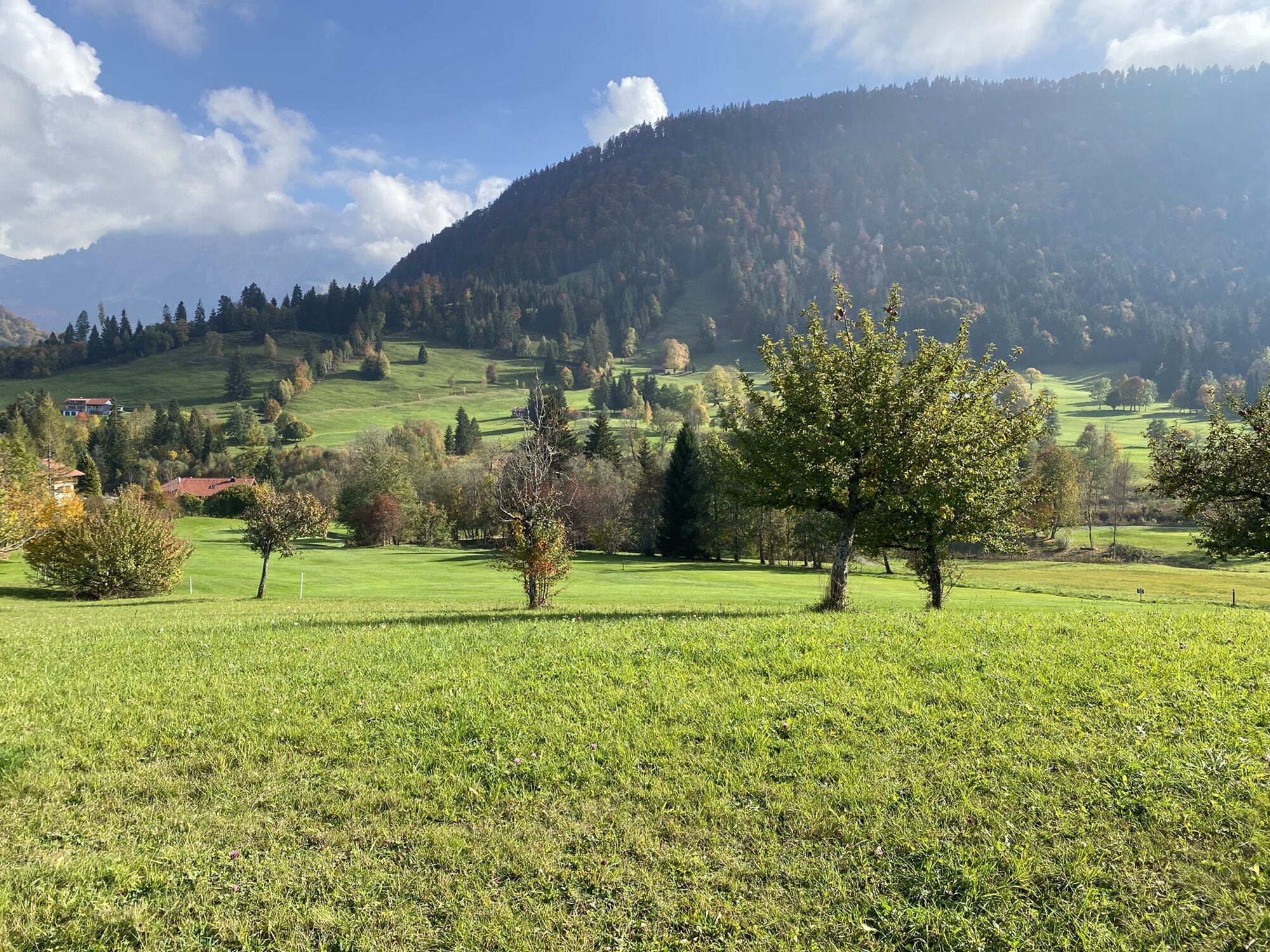
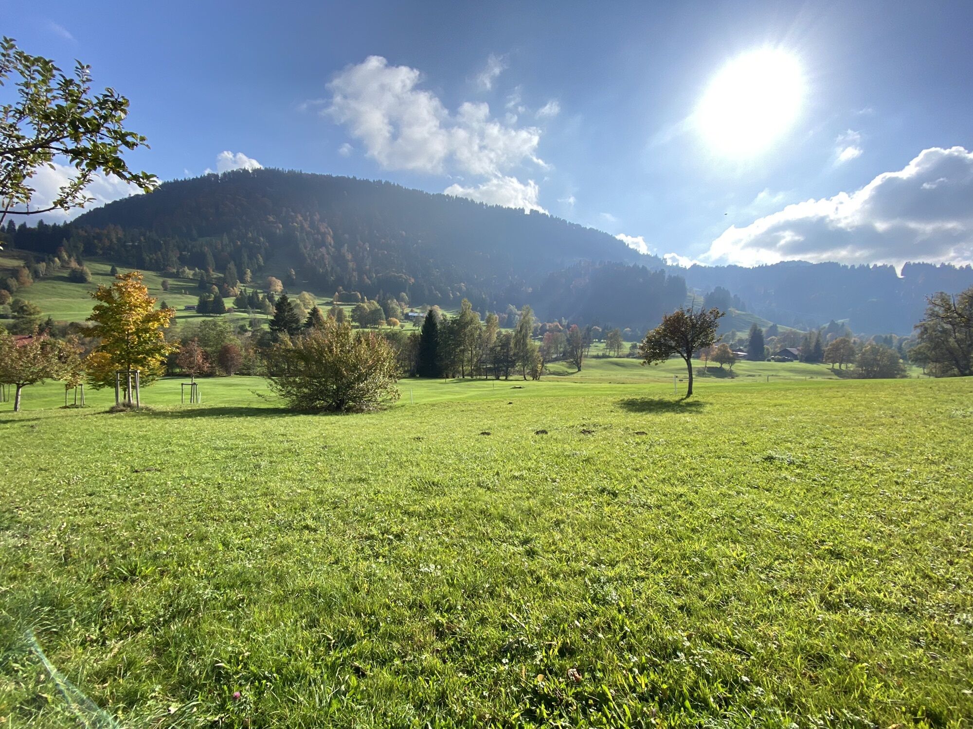
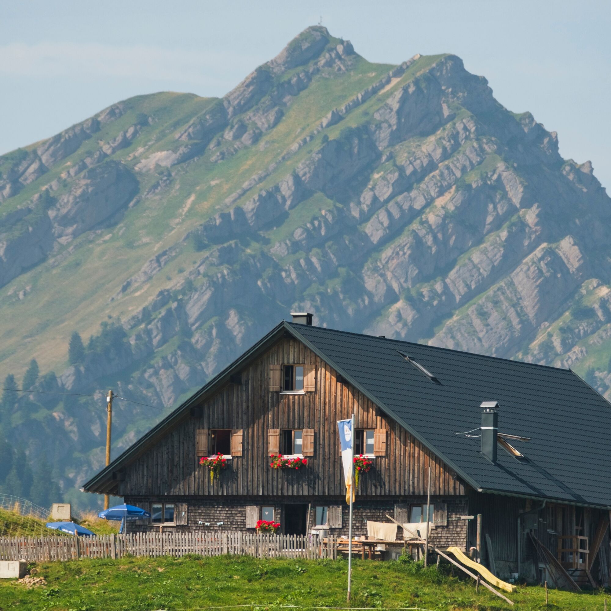
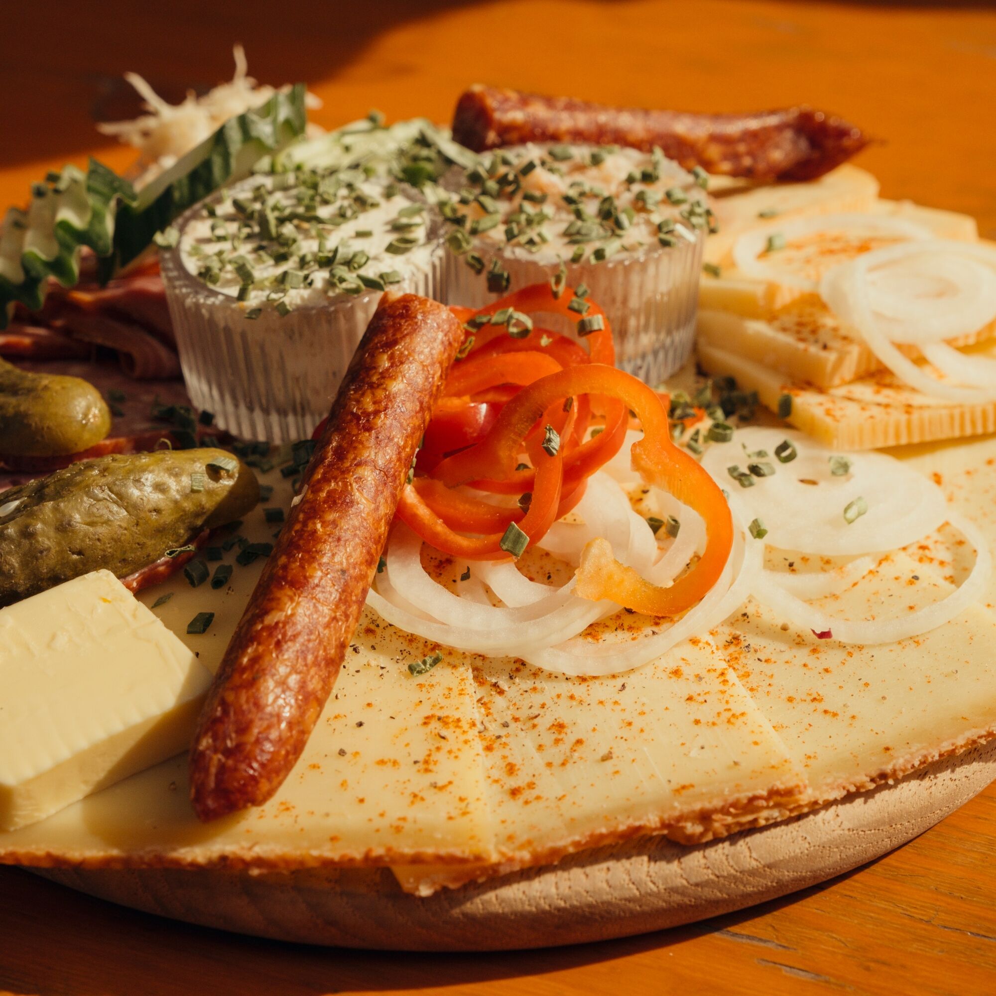
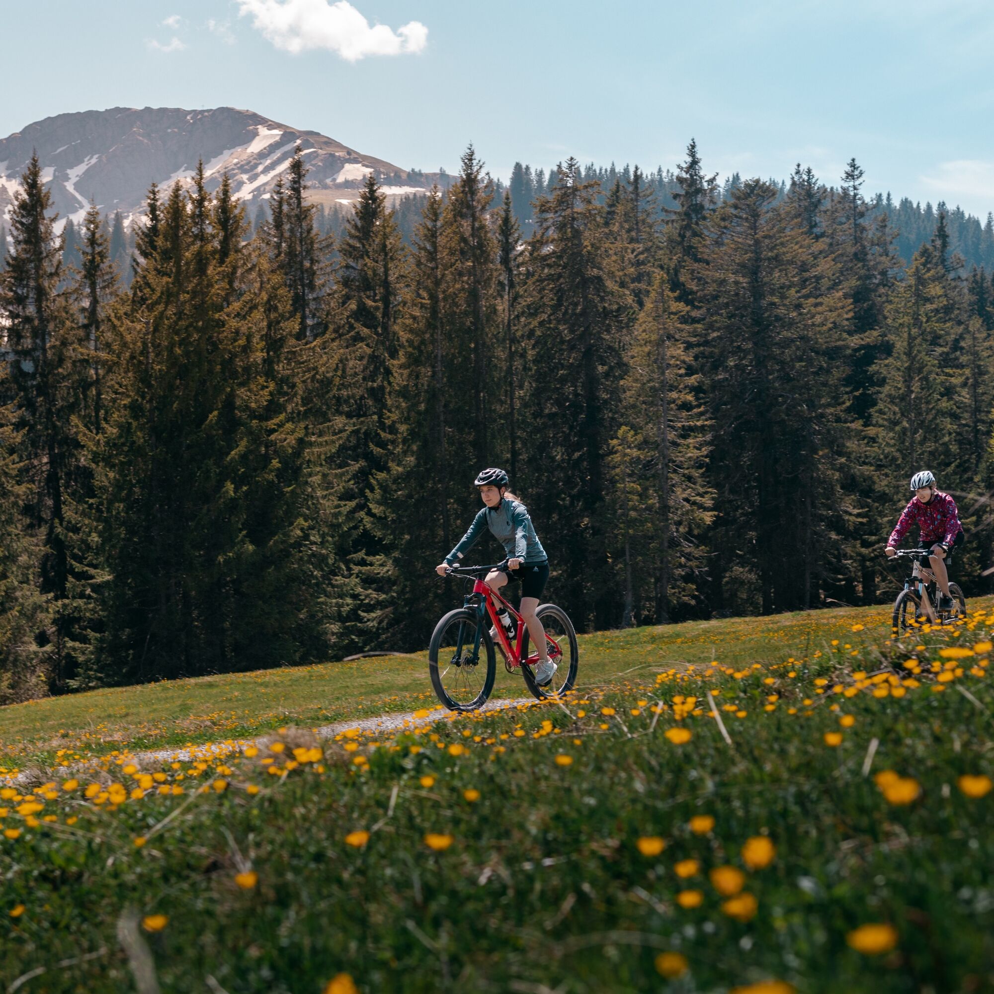
The next section of the tour runs through theidyllic Ehrenschwanger Tal valley with its alps, streams, forests and meadows - right in the middle of the Nagelfluhkette Nature Park. From here, a steady ascent begins to the Sennalpe Mittelberg at 1,370 meters above sea level, the highest point of the tour. Here, the Steurer family invites you to enjoy home-made cheese and a regional snack.
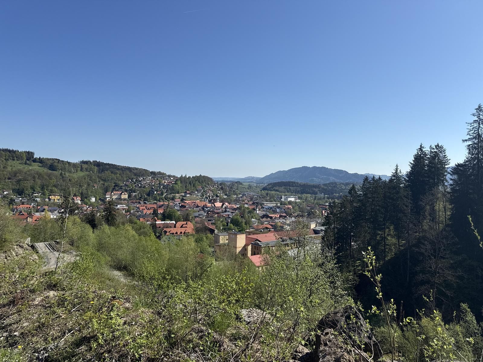
Strengthened by the refreshment stop and filled with the soothing natural impressions of the Nagelfluhkette, a long descent now follows through the Steigbach valley. Follow the road to the wooden chapel. From there, the asphalted Oberen Steig leads back to the residential town of Immenstadt.
At the end, pass the Immenstadt cemetery and turn left into the Engelfeld industrial estate. At the traffic circle, turn right briefly towards the town center and then left again before the next traffic circle back to Viehmarktplatz.
Battery empty? No problem! There is a free e-bike charging station at Bräuhausplatz during the opening hours of the tourist information office.


Alternatively also accessible by car.
Take the train to Immenstadt station. From there directly to the nearby Viehmarktplatz and continue on the route.
Did you know?
All Immenstadt vacation guests receive the Mobil Pass Allgäu from their host, which means that this tour can be reached free of charge by public transport.
However, an extra ticket must be purchased for the transportation of bicycles and transportation is not guaranteed if there is a large number of people.
Parking is available directly on the Viehmarktplatz.
Follow the route and shortly after Alpe Mittelberg take the turn-off through the moor to the Seifenmoos mountain hut to avoid the very steep road to Berggasthof Allmagmach.
Spletne kamere s turneje
Hochgratbahn Bergstation
Oberstaufen
Skilifte Sinswang
Oberstaufen - Biohotel Schratt
Oberstaufen - Biohotel Schratt
Segelclub Alpsee
Talstation Ossi-Reichert Bahn
Oberstaufen
Segelclub Alpsee
Mittaggipfel
Sonthofen - Panzer & Braun Tiefbau
Fluhexpress Berg
Fluhexpress Berg
Fluhexpress Berg
Fluhexpress Berg
Fluhexpress Berg
Alpe Hohenschwand
Oberstaufen
Oberstaufen
Oberstaufen
Oberstaufen
Oberstaufen
Alpe Birkach
Thaler Höhe
Oberstaufen
Oberstaufen - Rosenalp
Fluhexpress Bergstation
Hündlebahn Bergstation
Thaler Höhe
Oberstaufen
Ofterschwang - Allgäuer Berghof
Missen-Börlas
Ortsansicht Missen
Blaichach - Gunzesried
Oberstaufen - Hörmoos
Alpsee Bergwelt
Alpsee Bergwelt
Alpsee Bergwelt - Bärenfalle
Alpe Birkach - Nagelfluh
Allgäuer Berghof - Erlebnishof
Pridobite vpogled Vedno v živo na mestu z več kot 9.500 spletnimi kamerami. bergfex Kot uporabnik Pro si lahko zdaj ogledate ustrezne spletne kamere za številne izlete v aplikaciji izleti iz. Tako si lahko neposredno ogledate trenutne razmere. Priljubljeni izleti v okolici
- 4.7
Steibis - Buchenegger Waterfalls
srednjaPohodništvo 6.47 km - 3.9
Klassikertour: Auf den Grünten
težkoPohodništvo 8.50 km - 4.5
Hittisau | Wasserwanderweg
svetlobaTematska pot 7 km - 4.3
Starzlachklamm
srednjaPohodništvo 5.30 km - 5.0
Nagelfluh ridge route Hochgrat - Mittag
težkoPohodništvo 14.0 km - 4.7
Rindalphorn und Hochgrat
srednjaPohodništvo 15.6 km - 4.9
Immenstädter Horn
svetlobaPohodništvo 9.35 km - 5.0
Siedelalpe Runde von See - Immenstadt
svetlobaPohodništvo 10.3 km - 3.7
Rundtour Mittag
svetlobaPohodništvo 15.7 km - 4.5
Immenstädter Horn - Gschwender Horn
svetlobaPohodništvo 10 km
Pohodništvo in sledenje


Ne zamudite ponudb in navdiha za naslednje počitnice
Vaš e-poštni naslov je bil dodan na poštni seznam.





