


Mountain bike route – Around the Notkarspitze and Kramerspitze
Fotografije naših uporabnikov
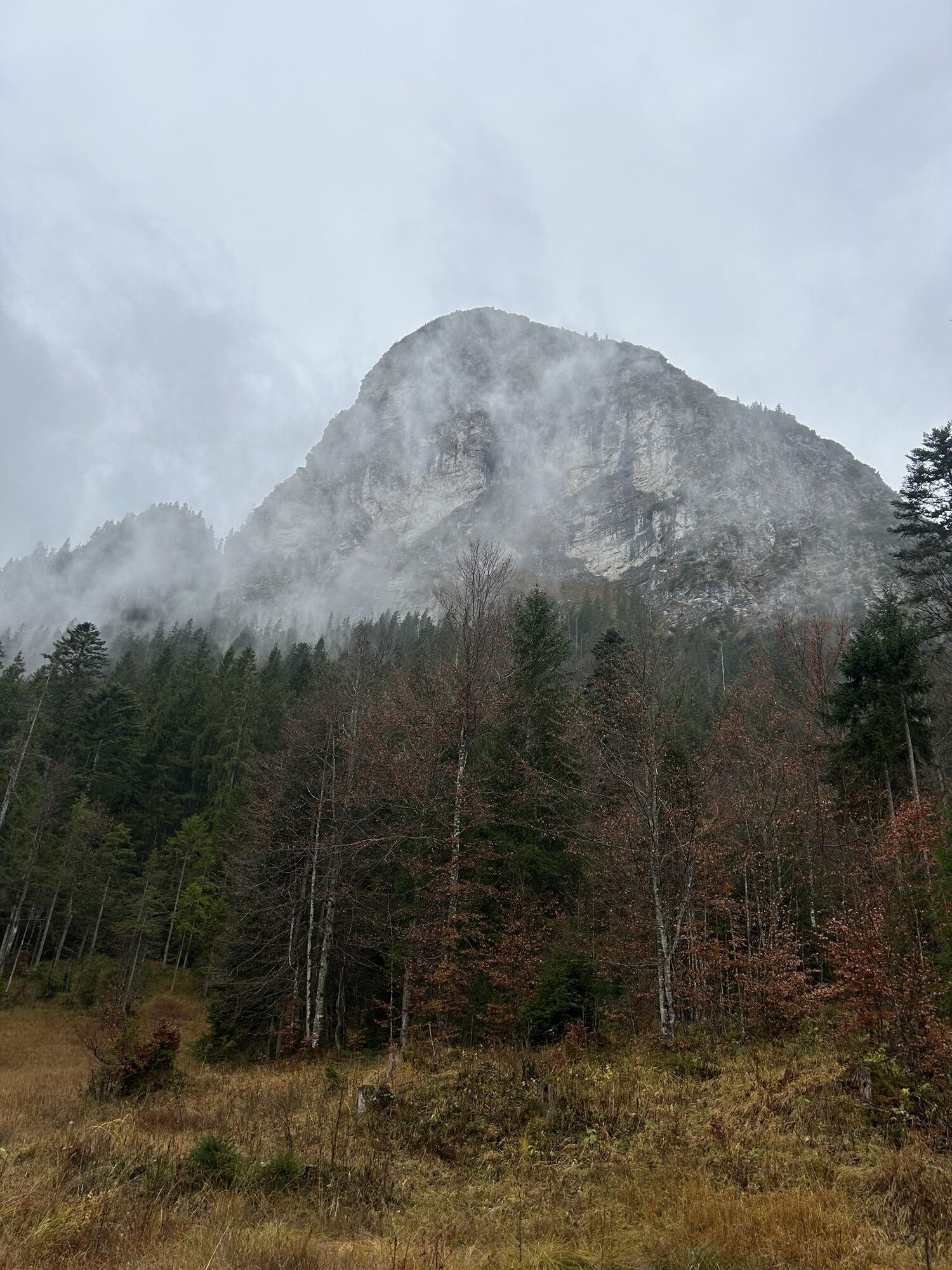
 © mosi mönäUstvarjeno na 08.10.2025
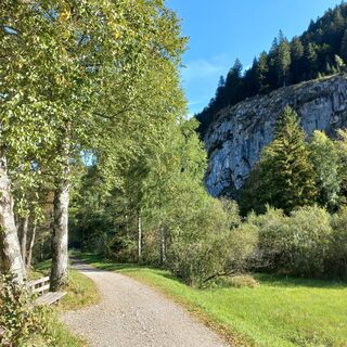 © mosi mönäUstvarjeno na 08.10.2025
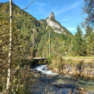 © mosi mönäUstvarjeno na 08.10.2025
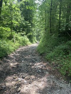
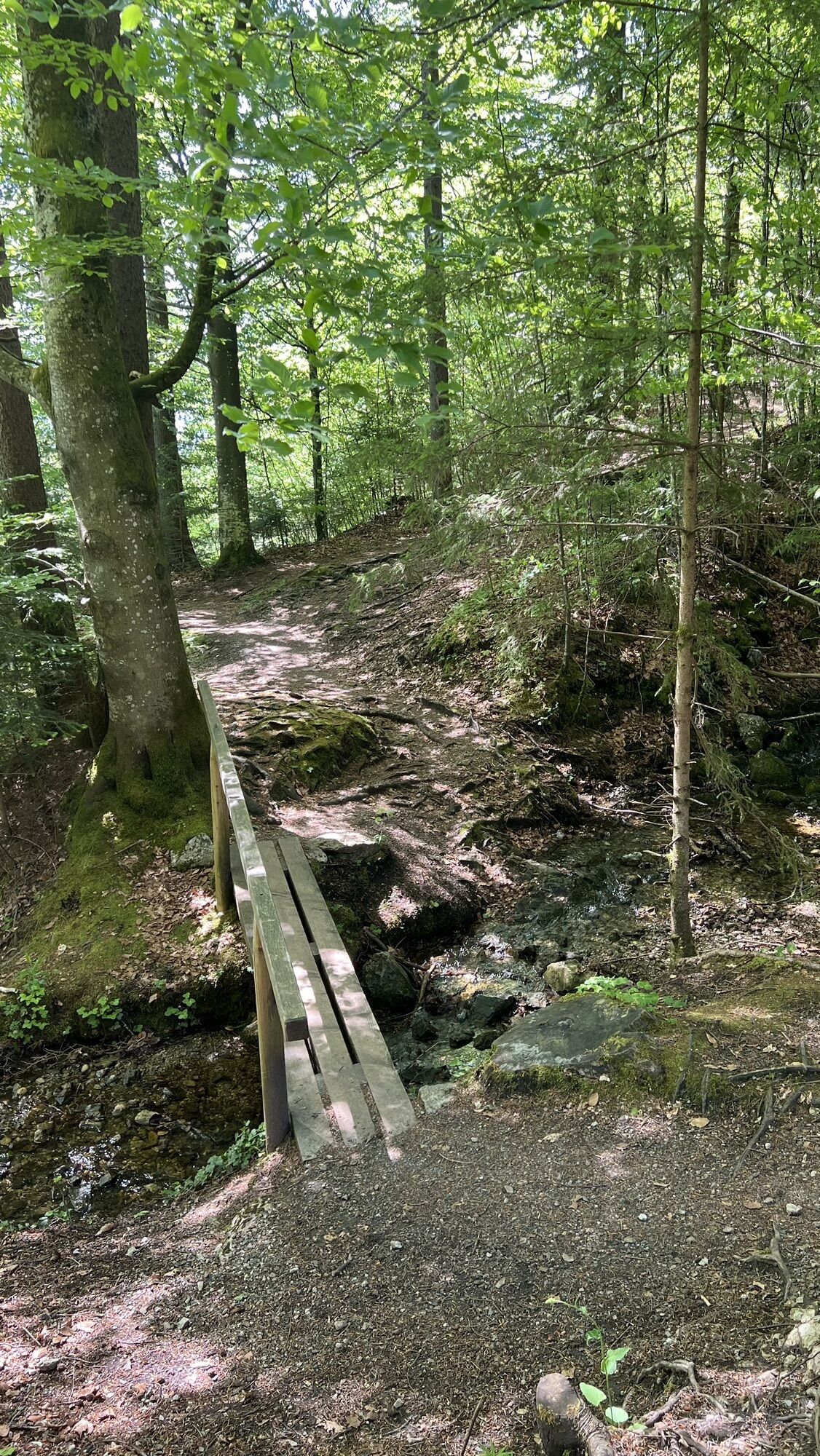
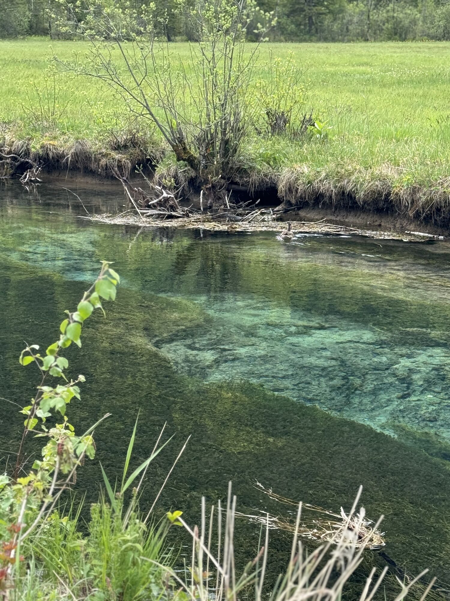
 © Lorenz KleberUstvarjeno na 11.06.2025
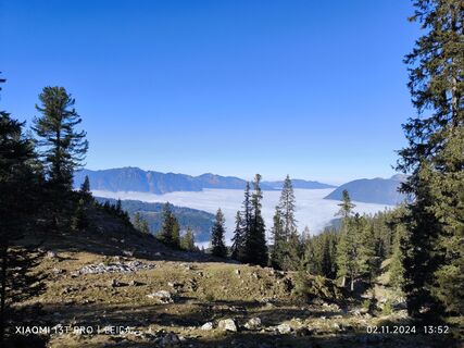
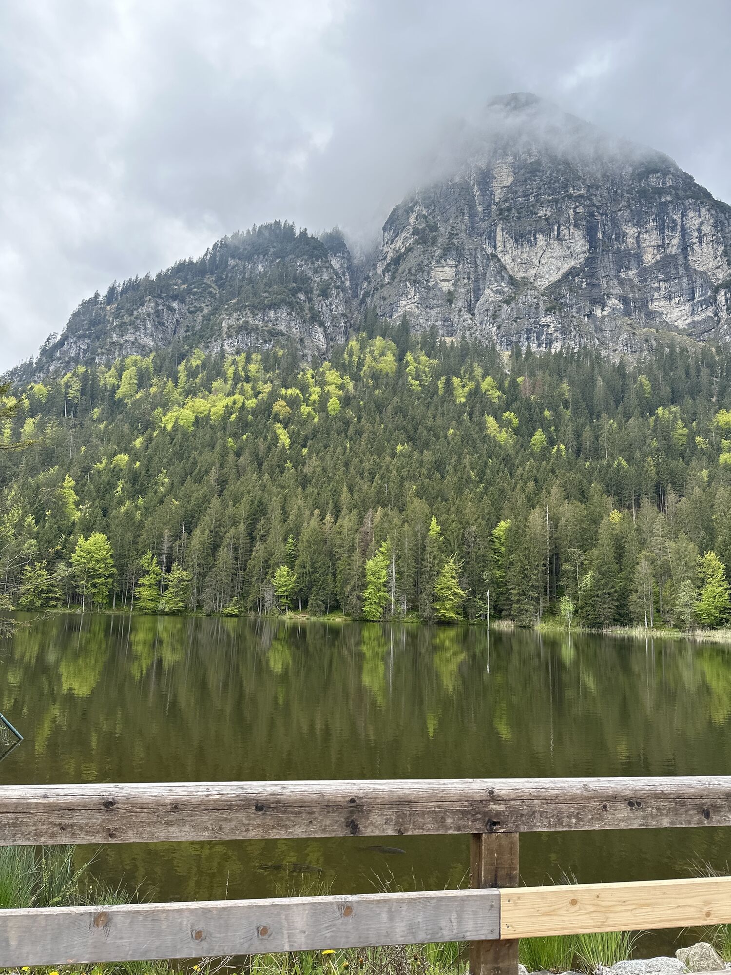
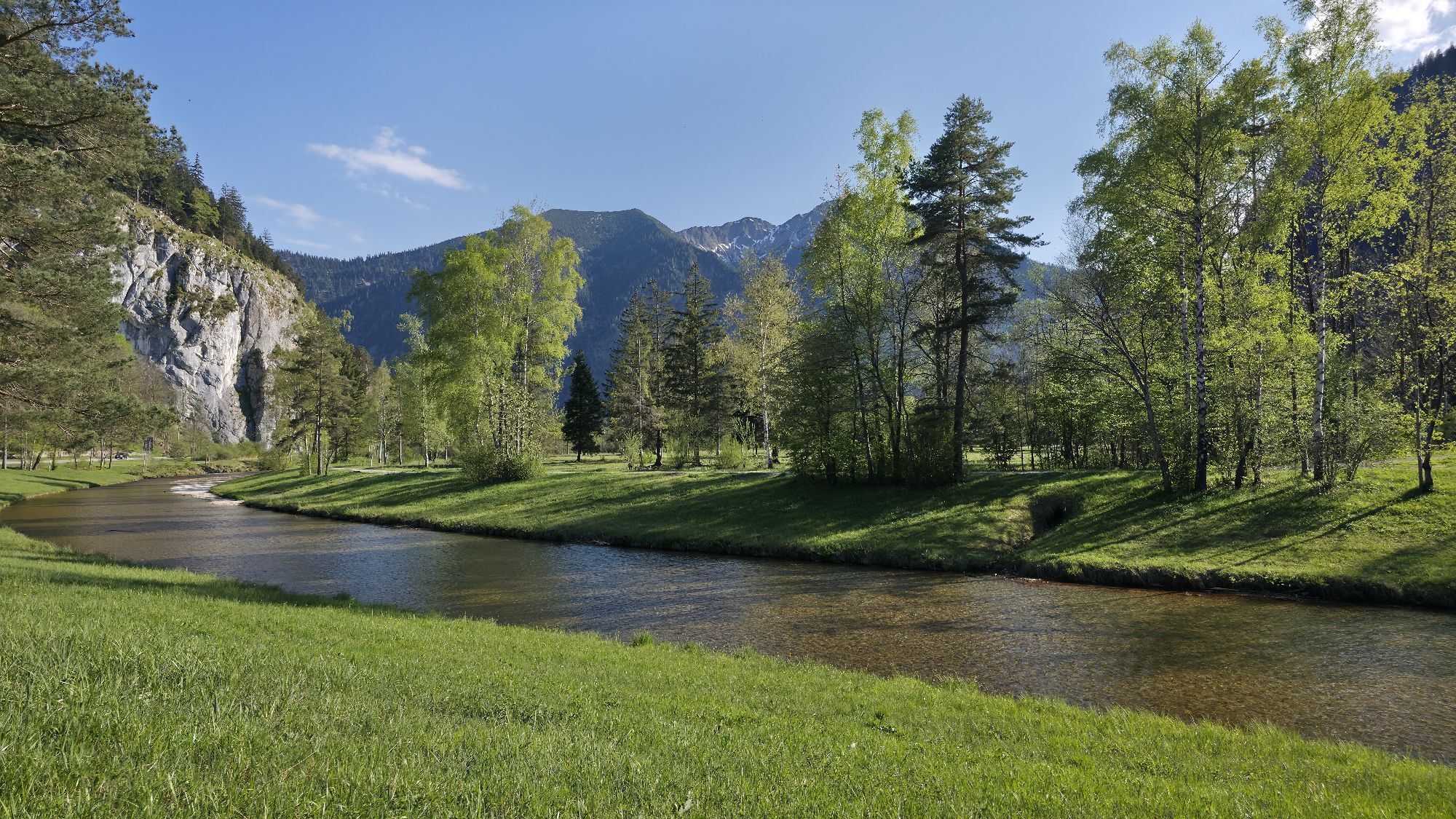
 © Karl-HeinzUstvarjeno na 02.11.2024
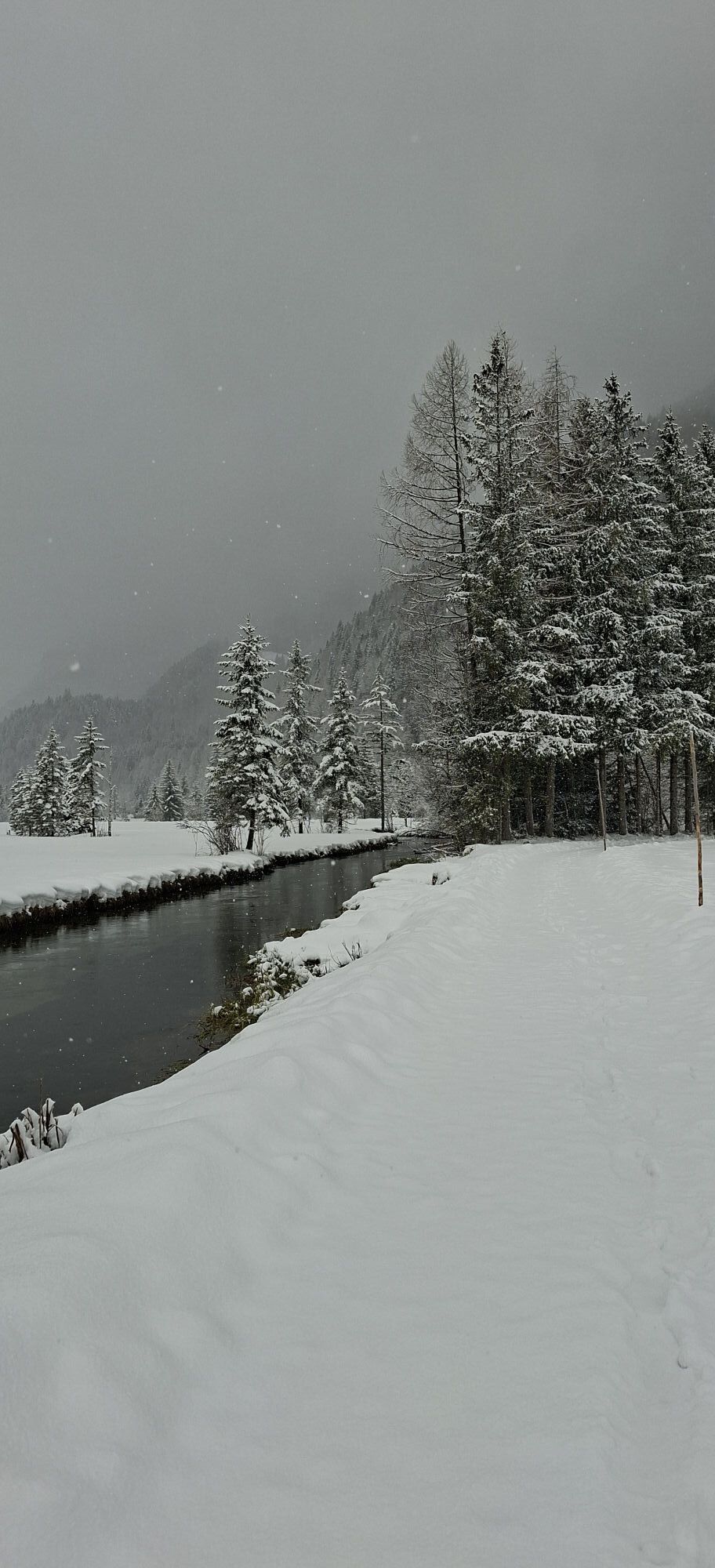
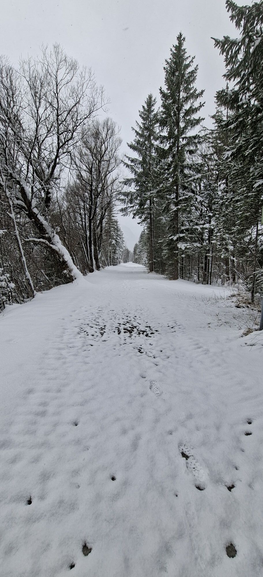
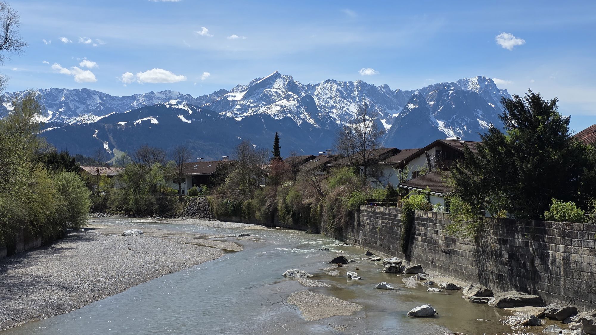
 © Sabrina SeidnerUstvarjeno na 12.05.2024
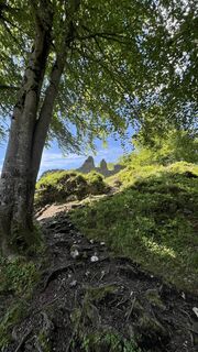 © Sabrina SeidnerUstvarjeno na 12.05.2024
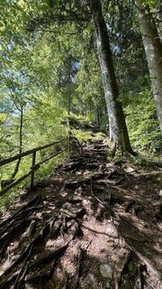 © Sabrina SeidnerUstvarjeno na 12.05.2024
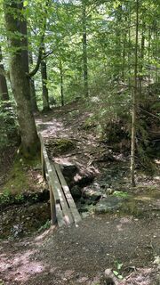 © Sabrina SeidnerUstvarjeno na 12.05.2024
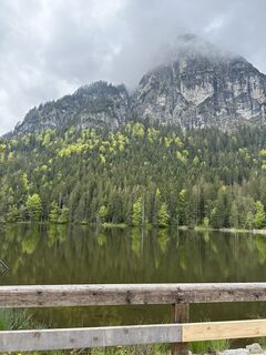
 © Jannik GallmannUstvarjeno na 19.05.2023
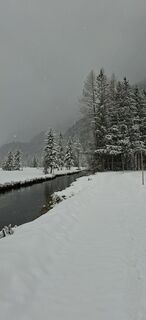 © executeUstvarjeno na 29.03.2026
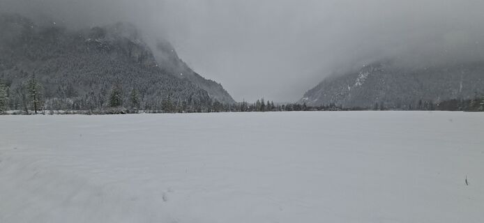 © executeUstvarjeno na 29.03.2026
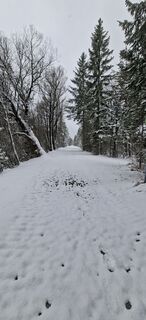 © executeUstvarjeno na 29.03.2026
 © executeUstvarjeno na 29.03.2026
 © executeUstvarjeno na 29.03.2026
 © executeUstvarjeno na 29.03.2026
 © executeUstvarjeno na 29.03.2026
 © Denise MillerUstvarjeno na 27.02.2026
 © Denise MillerUstvarjeno na 27.02.2026
 © Denise MillerUstvarjeno na 27.02.2026
 © Denise MillerUstvarjeno na 27.02.2026
 © Denise MillerUstvarjeno na 27.02.2026
 © Denise MillerUstvarjeno na 27.02.2026
 © Denise MillerUstvarjeno na 27.02.2026
 © Denise MillerUstvarjeno na 10.02.2026
 © Denise MillerUstvarjeno na 10.02.2026
 © Denise MillerUstvarjeno na 10.02.2026
 © Denise MillerUstvarjeno na 10.02.2026
 © Denise MillerUstvarjeno na 10.02.2026
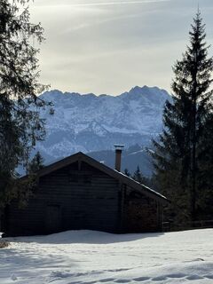 © Denise MillerUstvarjeno na 10.02.2026
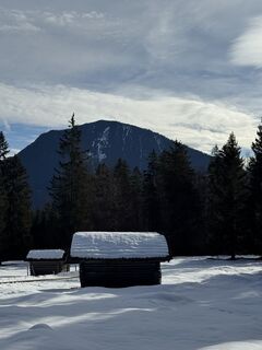 © Denise MillerUstvarjeno na 10.02.2026
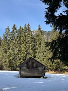 © Denise MillerUstvarjeno na 10.02.2026
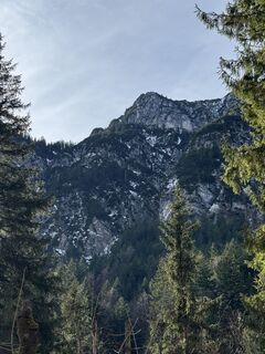 © Denise MillerUstvarjeno na 10.02.2026
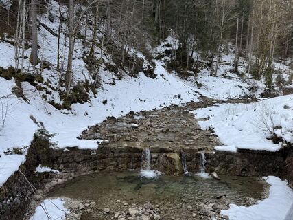 © Denise MillerUstvarjeno na 10.02.2026
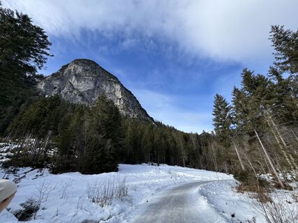 © Denise MillerUstvarjeno na 10.02.2026
 © Denise MillerUstvarjeno na 10.02.2026
 © Denise MillerUstvarjeno na 10.02.2026
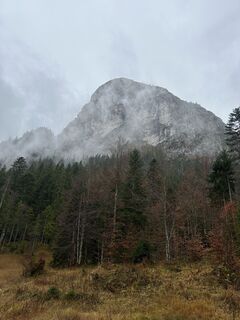
 © ArcangelonapoliUstvarjeno na 02.11.2025
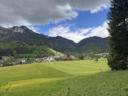 © Denise MillerUstvarjeno na 16.05.2025
 © Denise MillerUstvarjeno na 16.05.2025
 © ArturUstvarjeno na 01.05.2025
 © ArturUstvarjeno na 19.04.2025
 © Nicole HundertmarkUstvarjeno na 08.04.2024


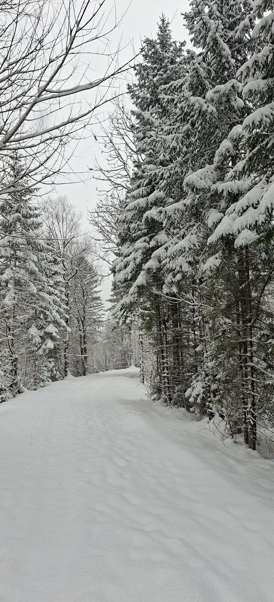
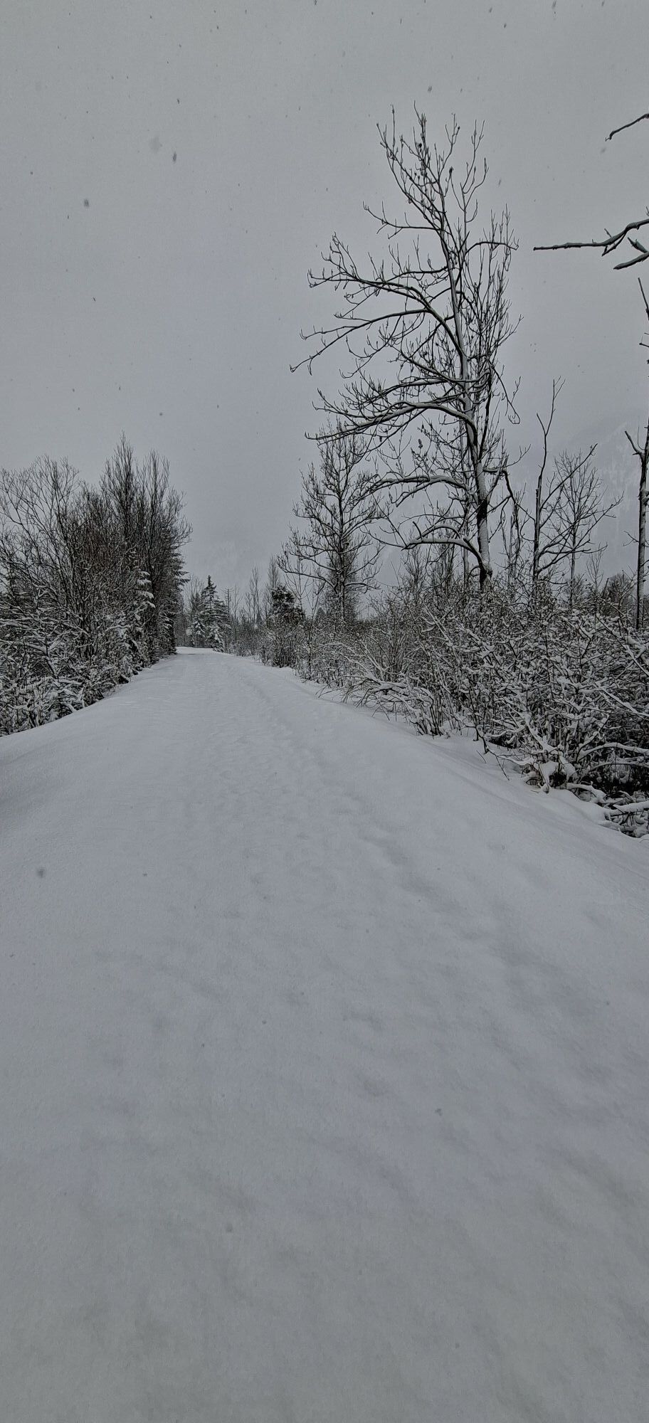
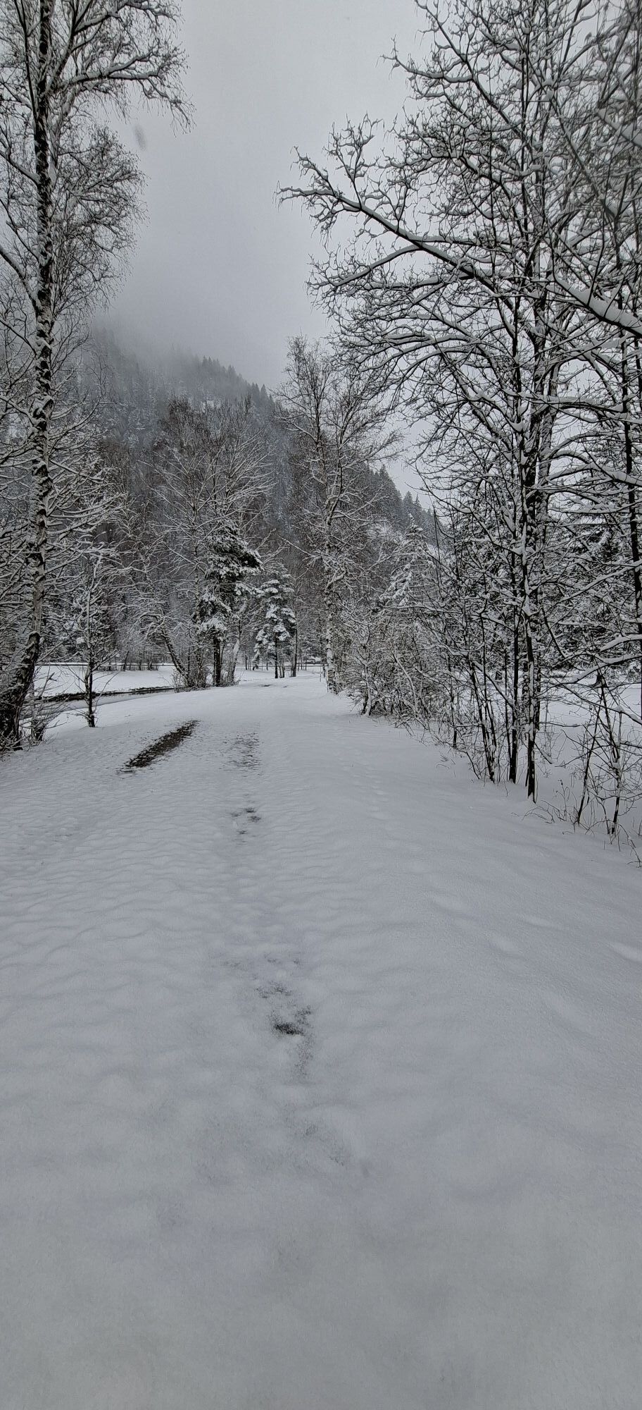
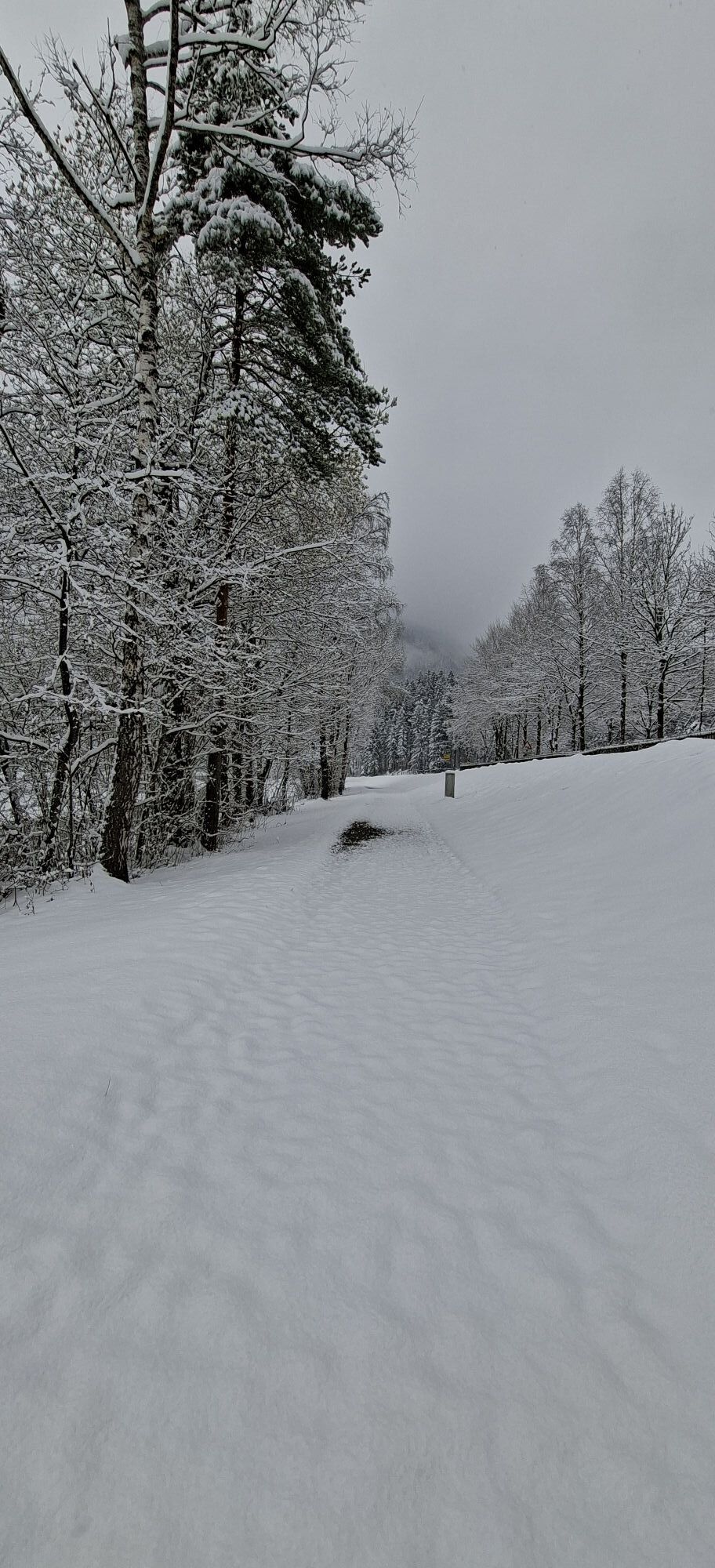
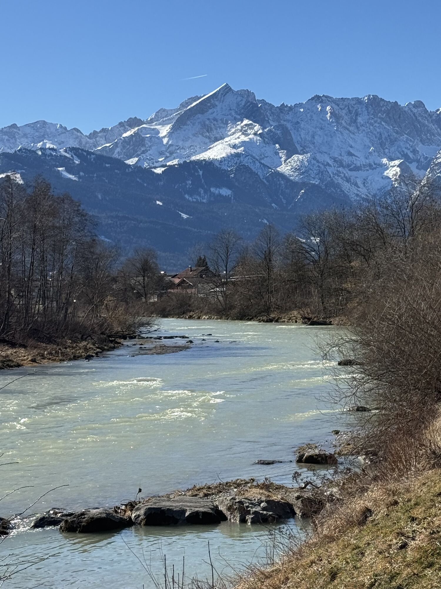
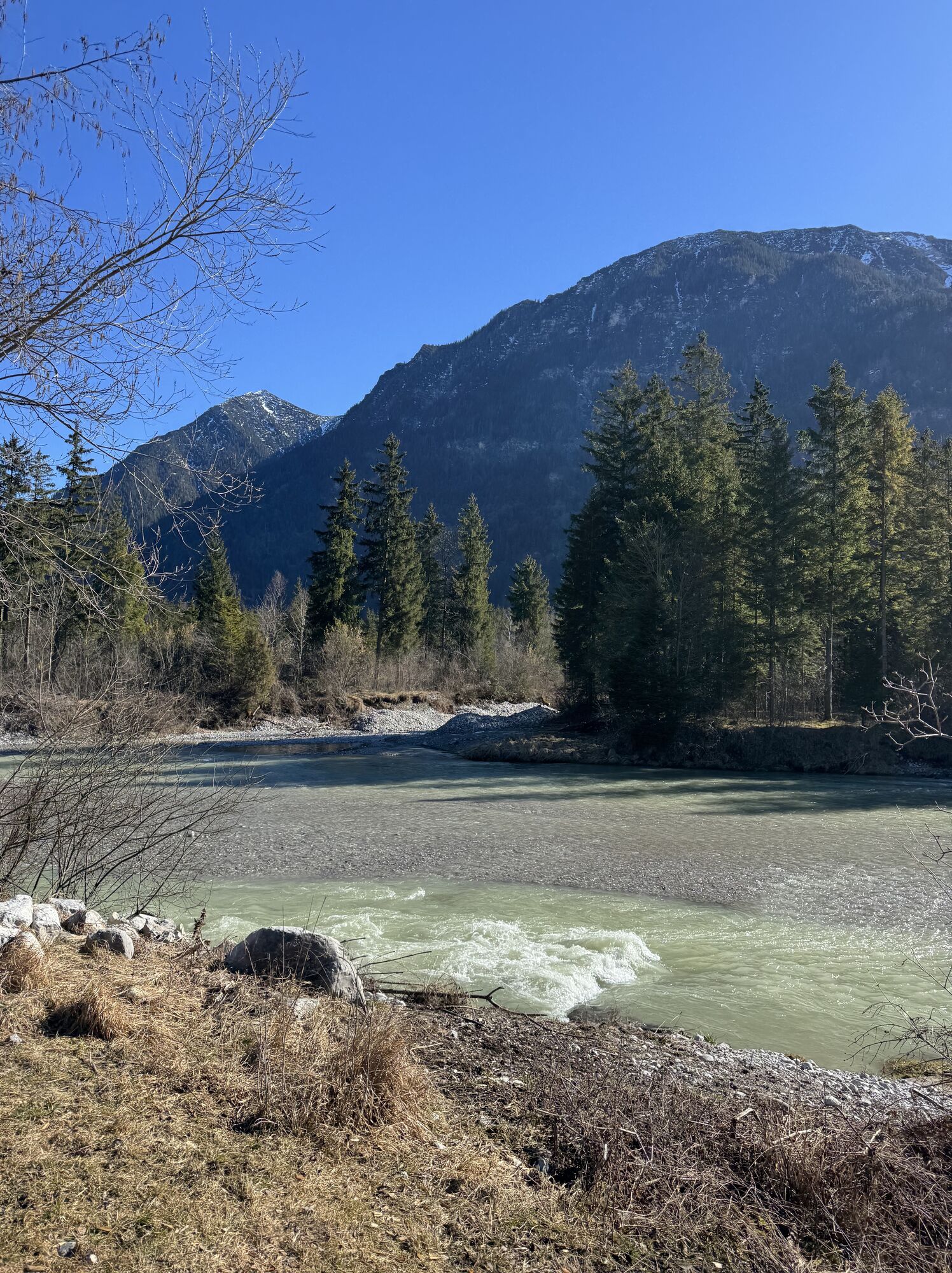
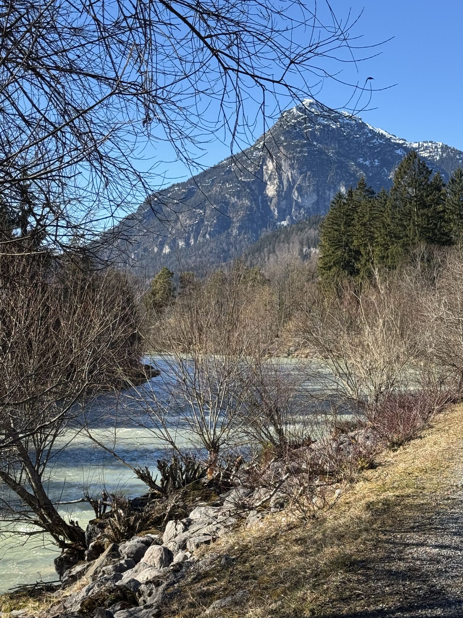
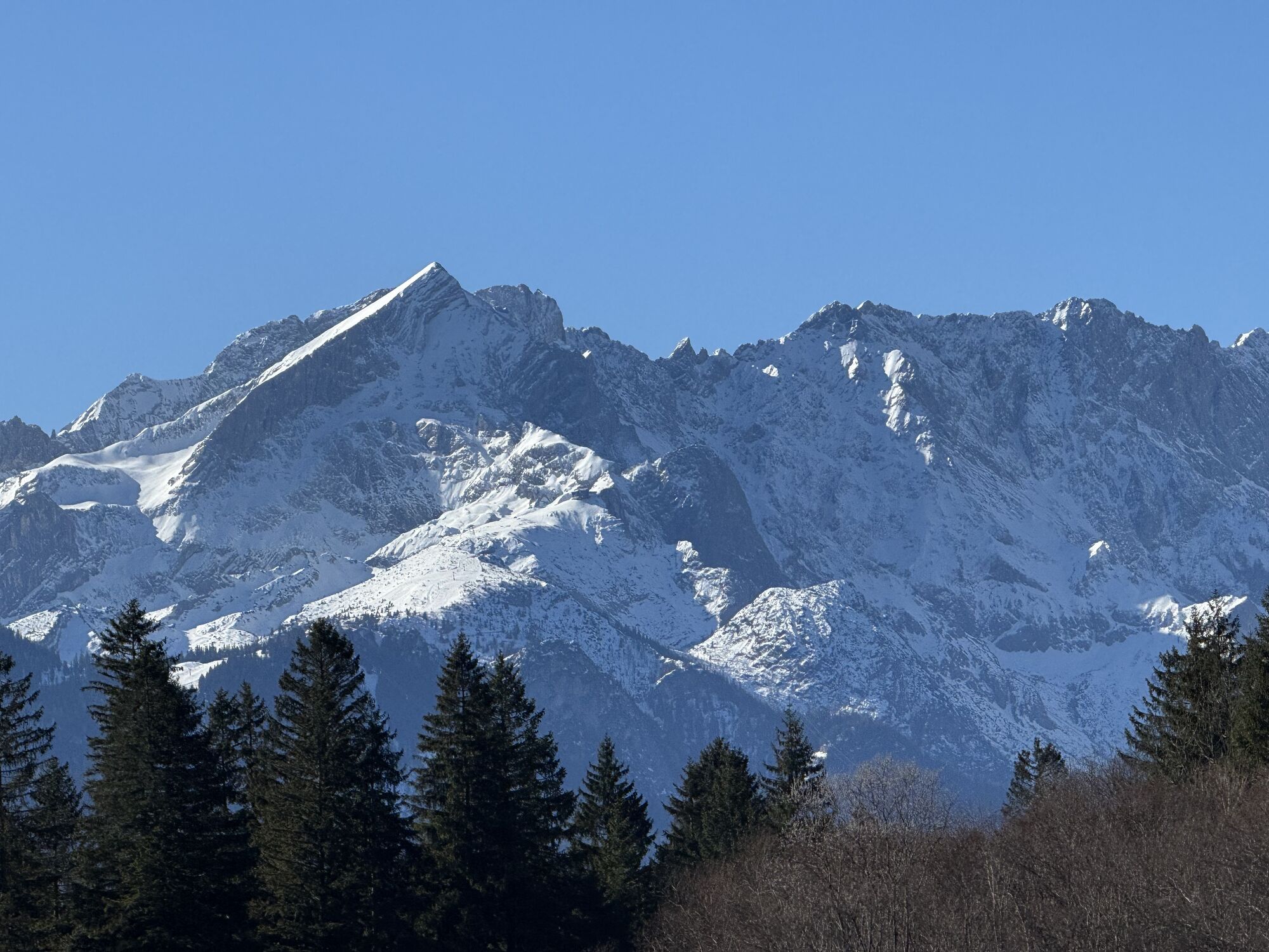
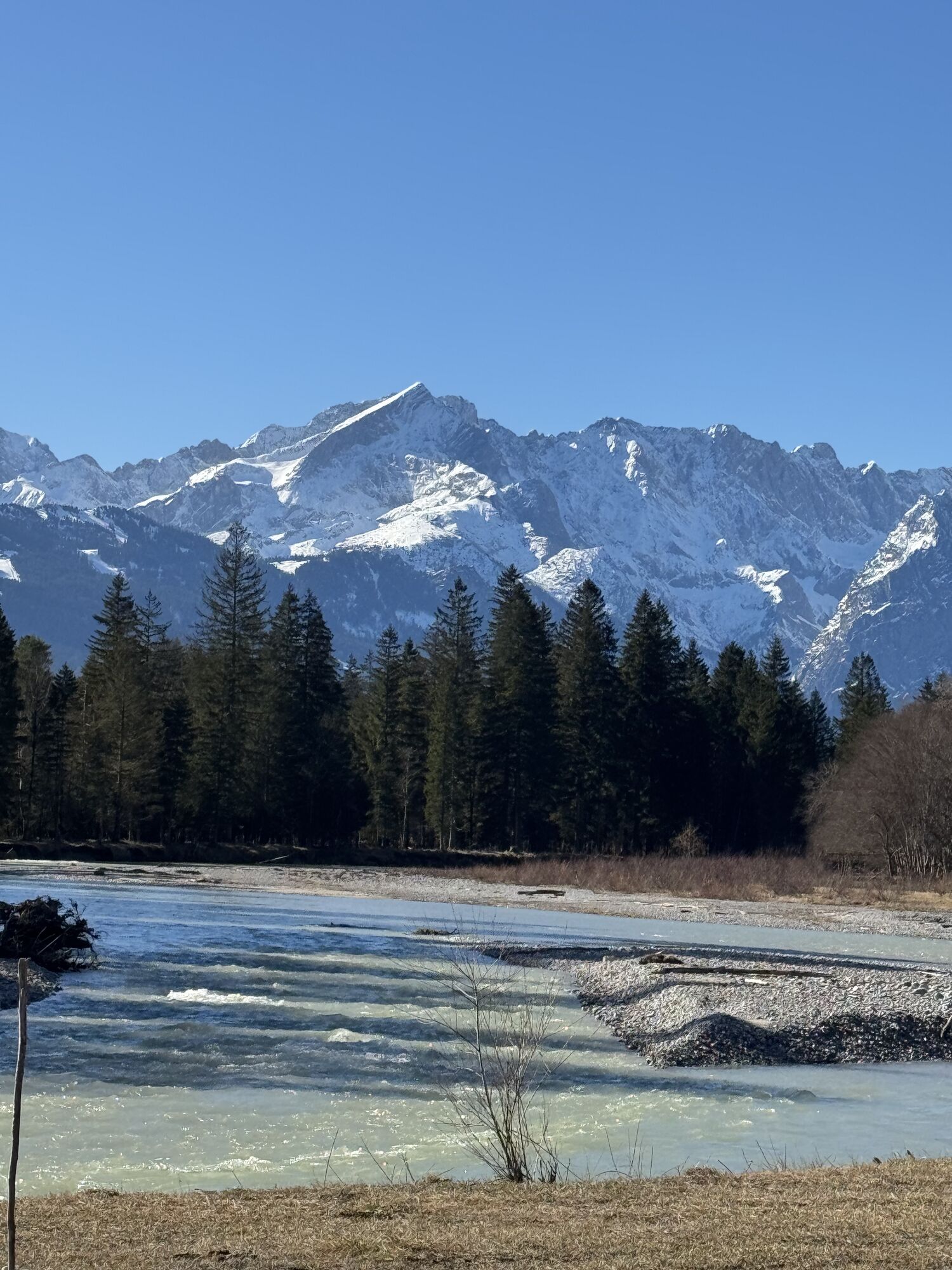
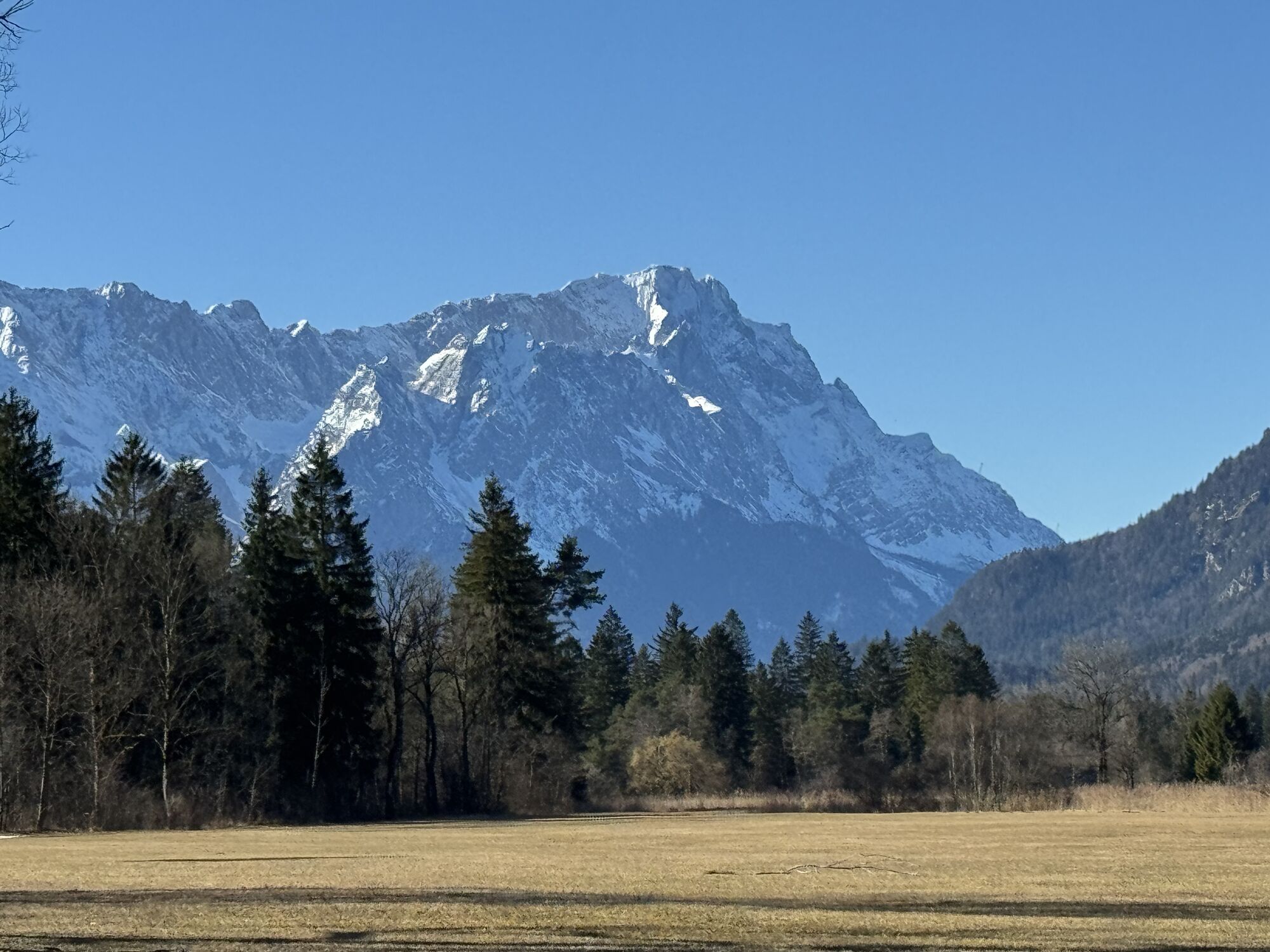
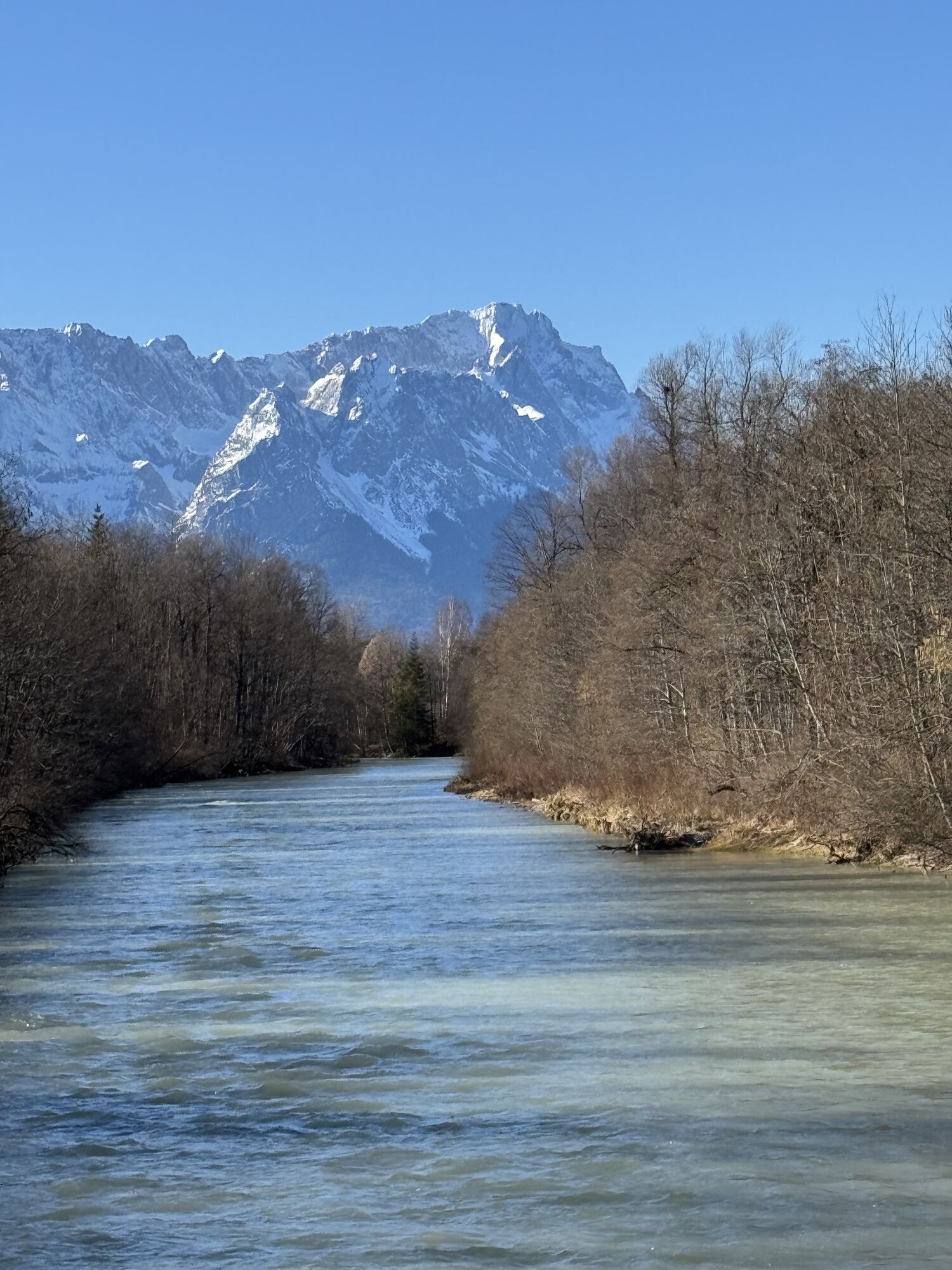


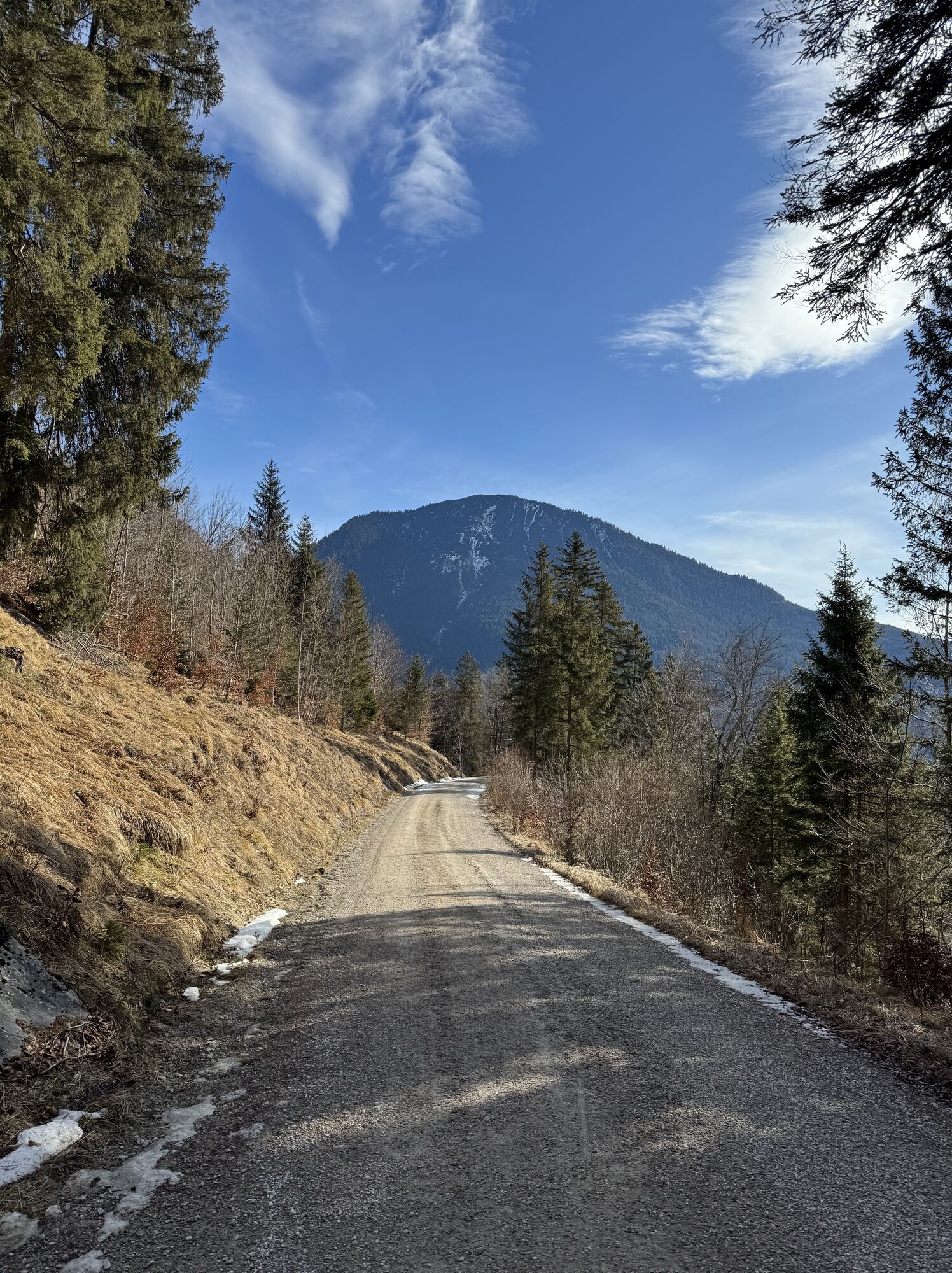

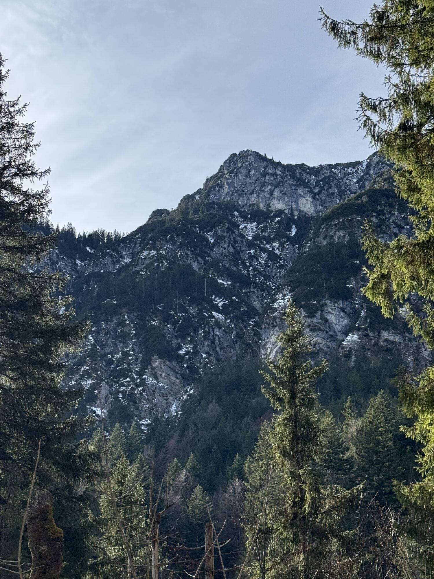


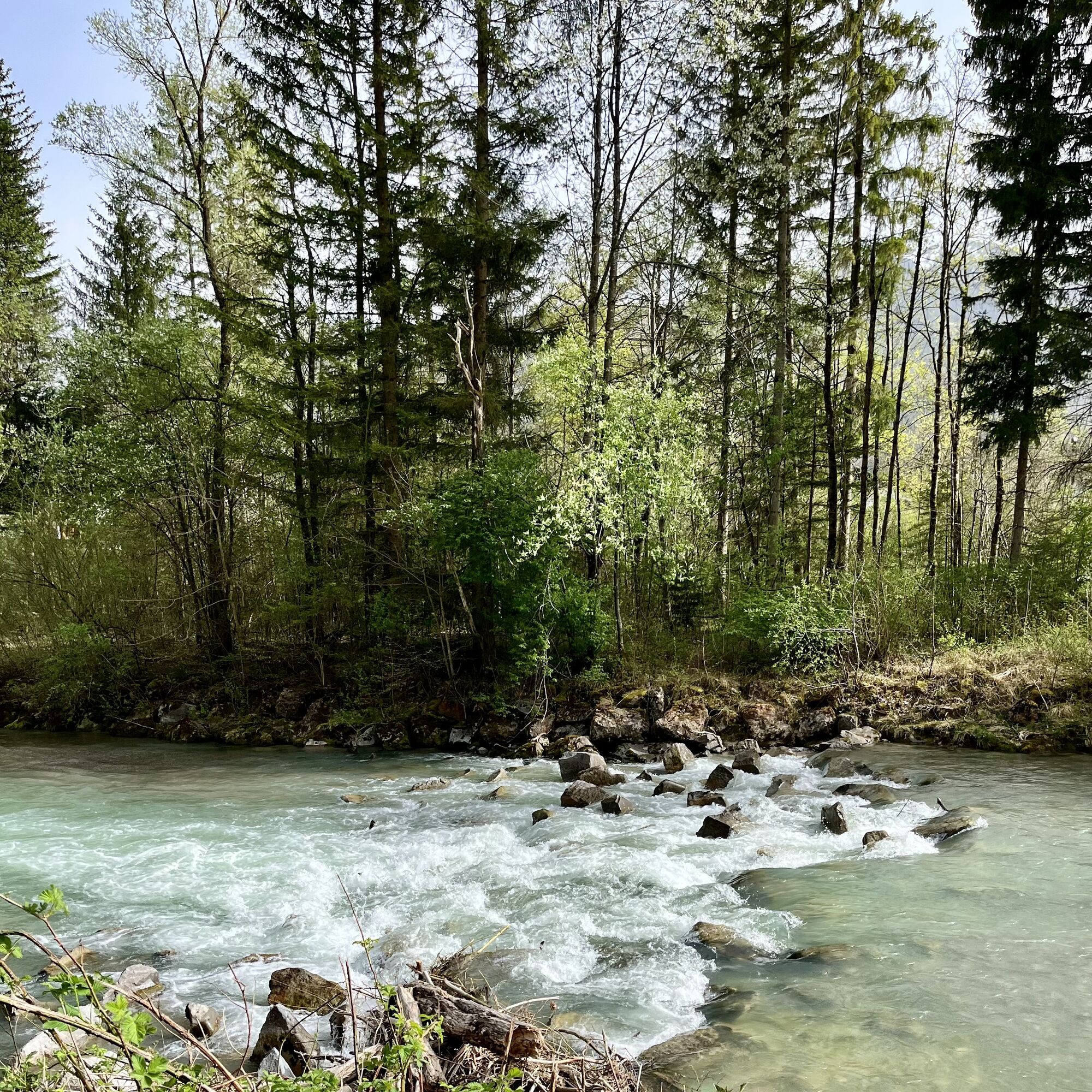
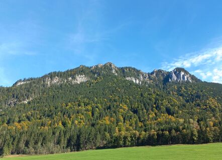
This challenging mountain bike route leads from Oberammergau via Garmisch-Partenkirchen around the Kramerspitze and Notkarspitze and through the Elmaugrieß and Graswandtal back to Oberammergau.
First,...
This challenging mountain bike route leads from Oberammergau via Garmisch-Partenkirchen around the Kramerspitze and Notkarspitze and through the Elmaugrieß and Graswandtal back to Oberammergau.
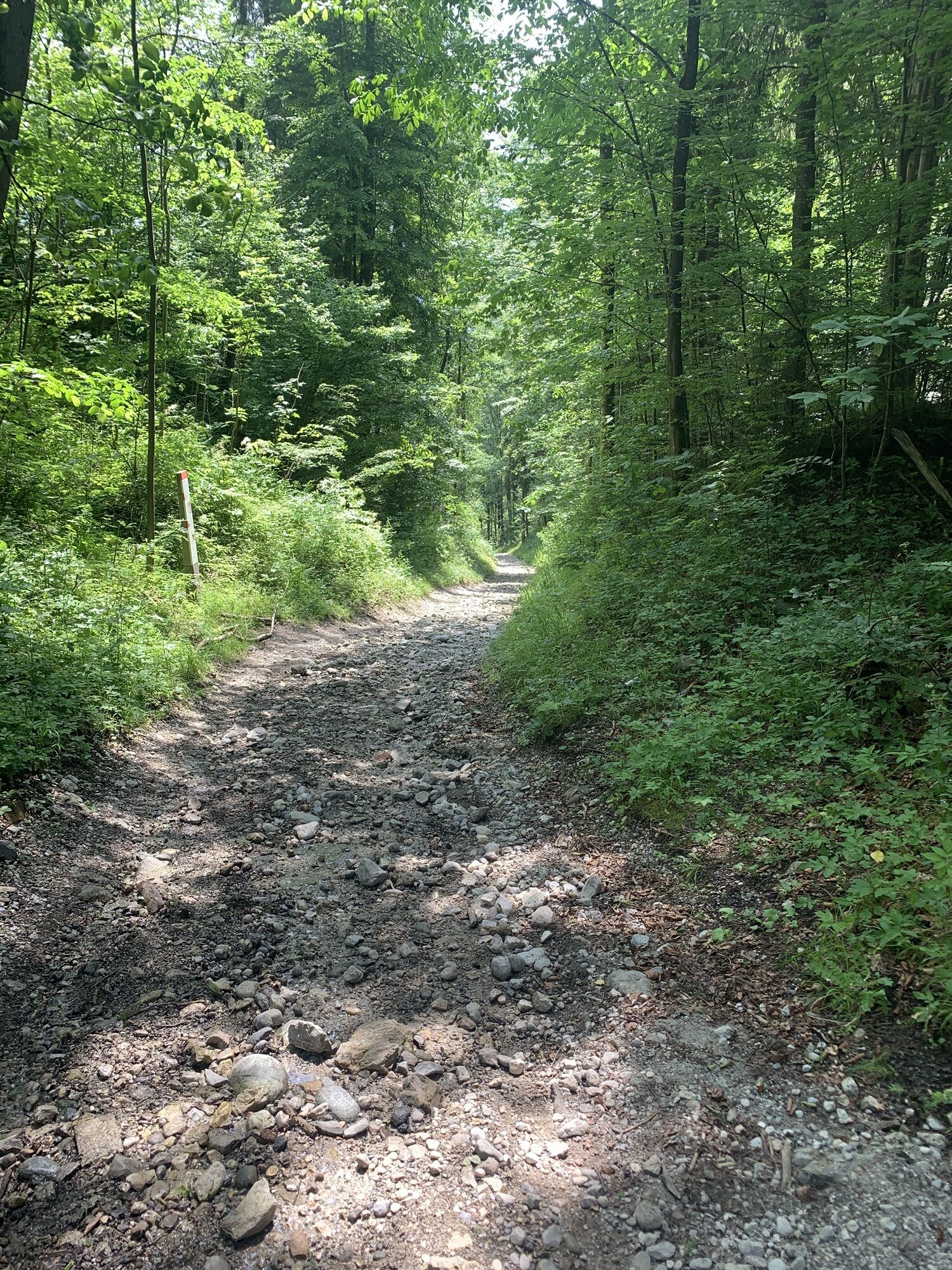
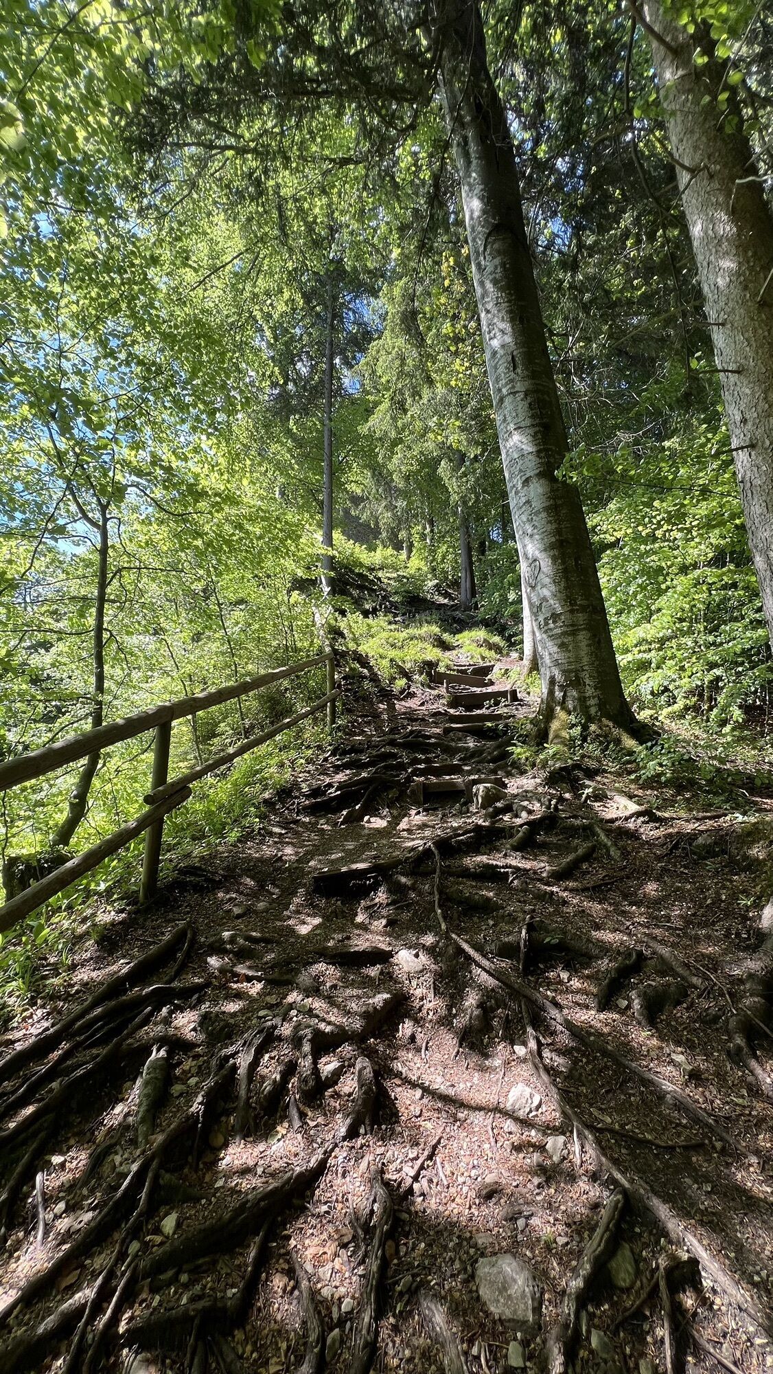
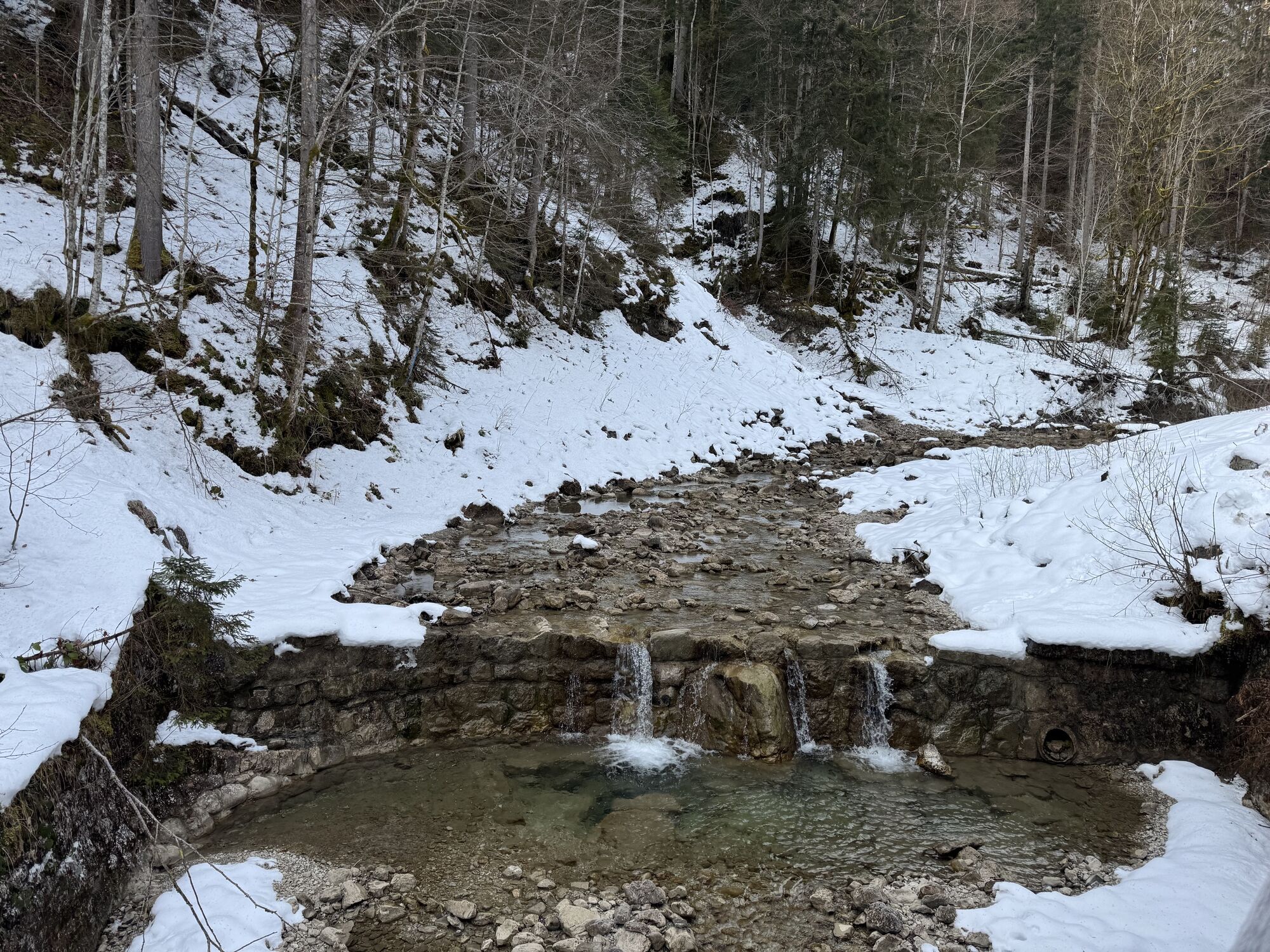
First, you leave Oberammergau heading south and descend via the old Ettaler Straße (push section!) down to Oberau. From there to Farchant and up to the Dießener Hut. Past the Pflegersee it goes down to Garmisch-Partenkirchen. From here through the Loisach valley to the Ochsenhütte car park. Now it goes uphill until the highest point of the route is reached. Then it goes continuously downhill, first through the Elmaugries and the Graswang valley, until the path joins again with the starting path and the last few kilometers are comfortably covered back to the starting point.
Bike rental + repair
To guarantee a smooth bike route through the Ammergau Alps, we recommend the following equipment:
Bike helmet
Gloves
Short or long cycling shorts
Short or long jersey
Rain jacket
Good shoes, possibly with clips
Sunglasses
Hydration system
Food supply
First aid kit
GPS device + second set of batteries
Current map (scale 1:50,000)
Spare tube, pump
Tools
Camera
Money
The route has been compiled to the best of our knowledge; no guarantee is given for the accuracy of the information. Riding is at your own risk and can involve the usual risks always present when staying in the mountains. All liability is excluded.
Please always be considerate of pedestrians and hikers. Make yourself noticed in time, reduce your speed, and dismount and push your bike on narrow paths. We appeal for a respectful coexistence of hikers and bikers.
In an emergency, please contact the nearest rescue center. Regardless of location, you can reach it nationwide in Germany at the telephone number 112.
Spletne kamere s turneje
Laber Bergbahn - Bergstation
Laber Bergbahn - Bergstation
Garmisch-Partenkirchen - Panoramaberg Wank
Oberau
Garmisch - Kandahar Lodge
Garmisch-Partenkirchen - Rathaus
Garmisch-Partenkirchen - Olympiaschanze
Garmisch-Partenkirchen - Festsaal
Grainau / Ferienhaus Wetterstein
Zugspitzdorf Grainau
Zugspitzdorf Grainau
Zugspitzdorf Grainau
Zugspitzdorf Grainau
Zugspitzdorf Grainau
Zugspitzdorf Grainau
Oberammergau - Kolbensattel
Zugspitze Tal
Gsteig
Unterammergau
Wankhaus
Oberammergau - Laber
Eibsee Nord
Eibsee-Hotel
Rabenkopf - Oberau
Hausberg
Kandahar-Express Kreuzjoch
Kreuzeck
Grainau - Längenfelder Hof
Heimhof, Garmisch-Partenkirchen
Farchant im Zugspitzland
Priljubljeni izleti v okolici
- 4,4
Kuhfluchtwasserfälle
srednjaPohodništvo 1,32 km - 4,0
Höllentalklamm
srednjaPohodništvo 5,53 km - 4,5
Mountain route - Teufelstättkopf
srednjaPohodništvo 10,8 km - 5,0
Zugspitze via Höllental
težkoVia ferrata 16,1 km - 4,7
Mountain route - Laber via Soilasee
svetlobaPohodništvo 11,8 km - 4,8
Schafkopf
svetlobaPohodništvo 10,2 km - 4,8
Zugspitze
težkoPohodništvo 8,45 km - 4,8
Partnachklamm - Hintergraseck - Eckbauer
svetlobaPohodništvo 13,8 km - 4,6
Laber - Ettaler Mandl
svetlobaPohodništvo 9,10 km - 4,6
Zugspitze via Stopselzieher Glettersteig
težkoVia ferrata 10,1 km

Pohodništvo in sledenje


Ne zamudite ponudb in navdiha za naslednje počitnice
Vaš e-poštni naslov je bil dodan na poštni seznam.