




Great MTB loop at Tegernsee

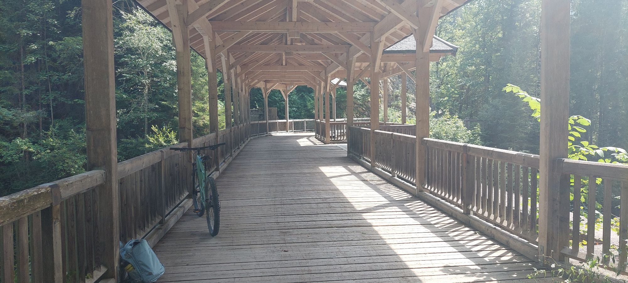
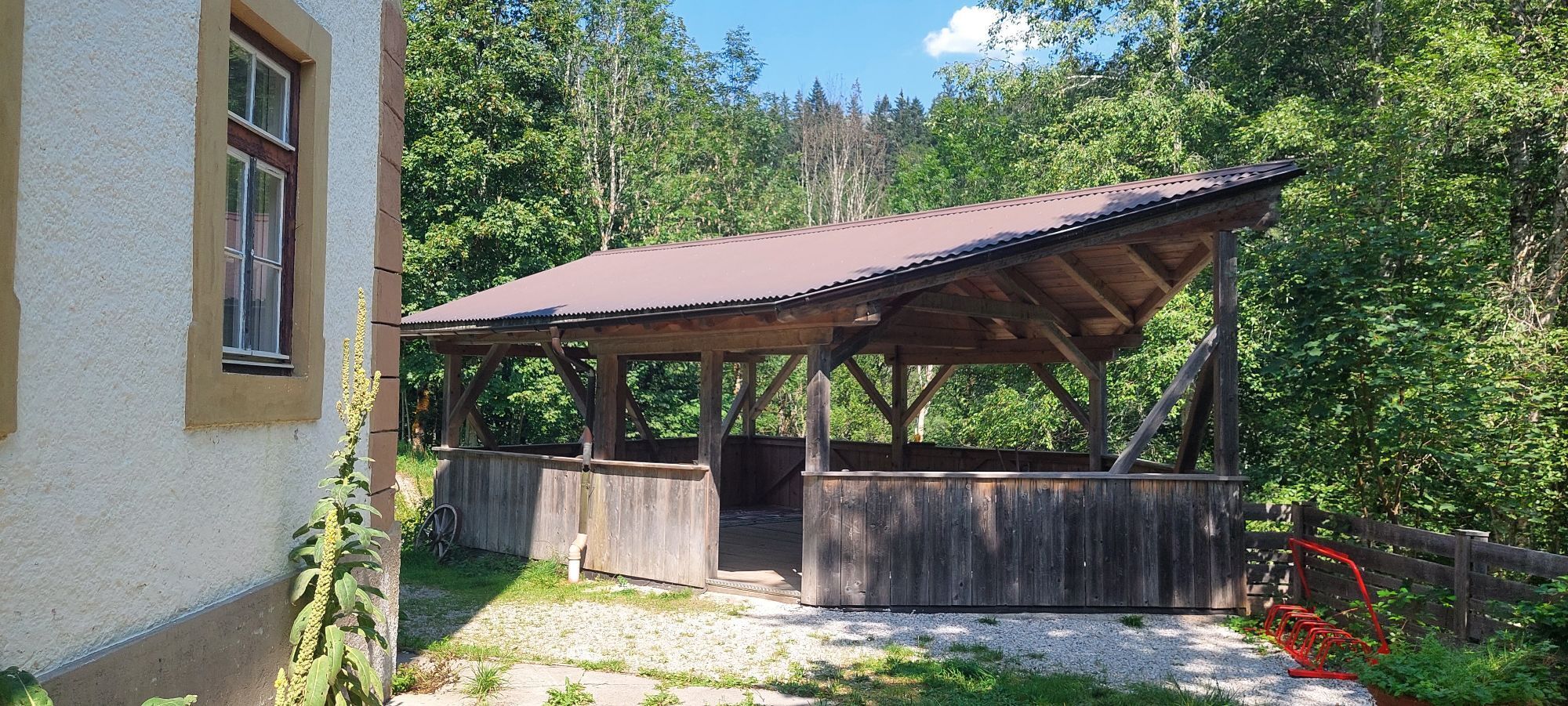
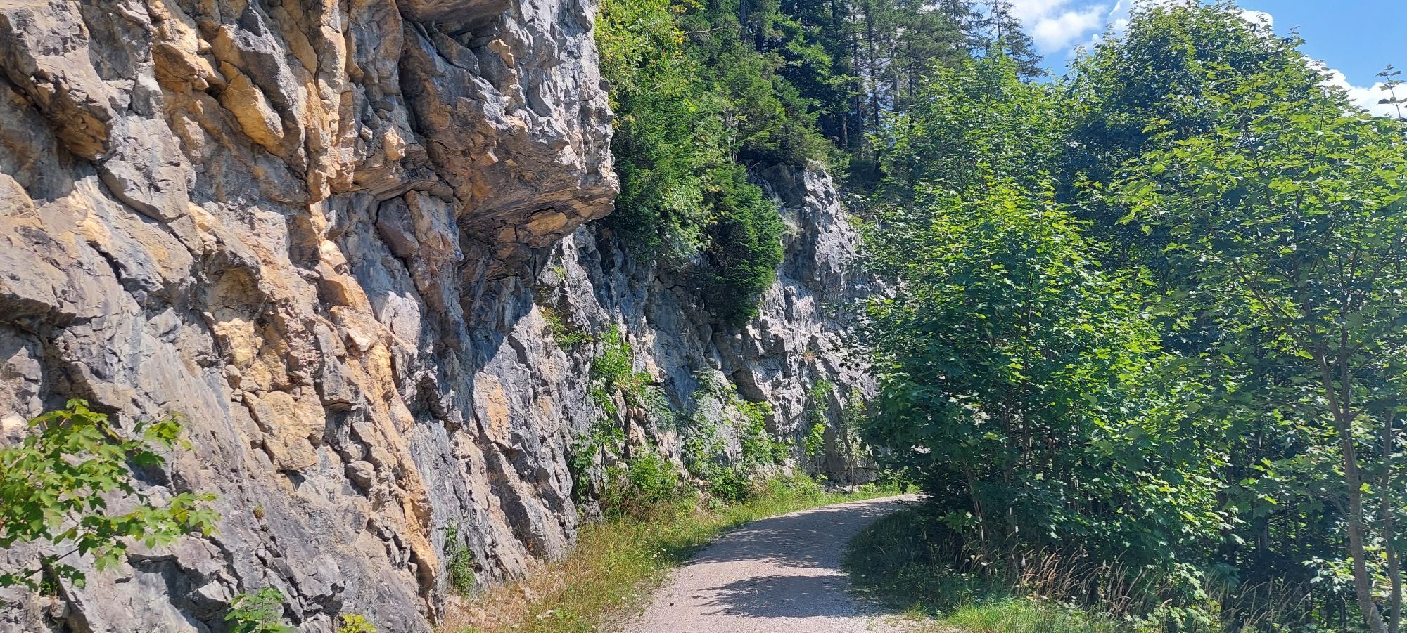
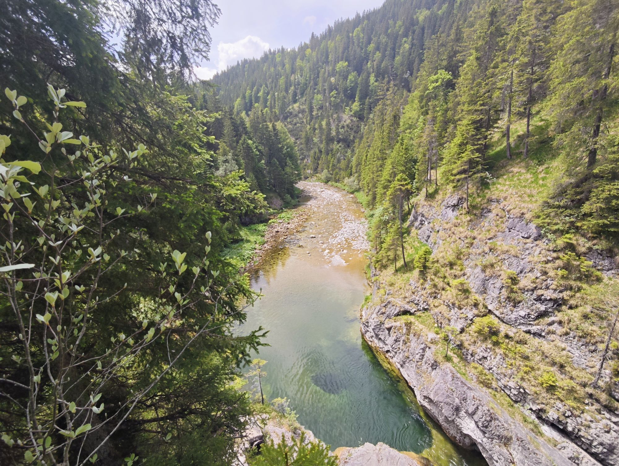
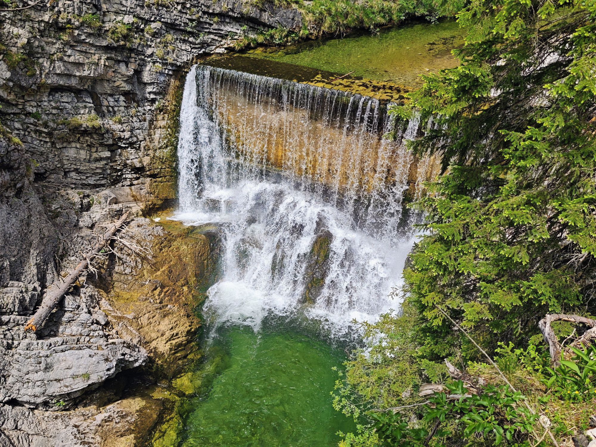
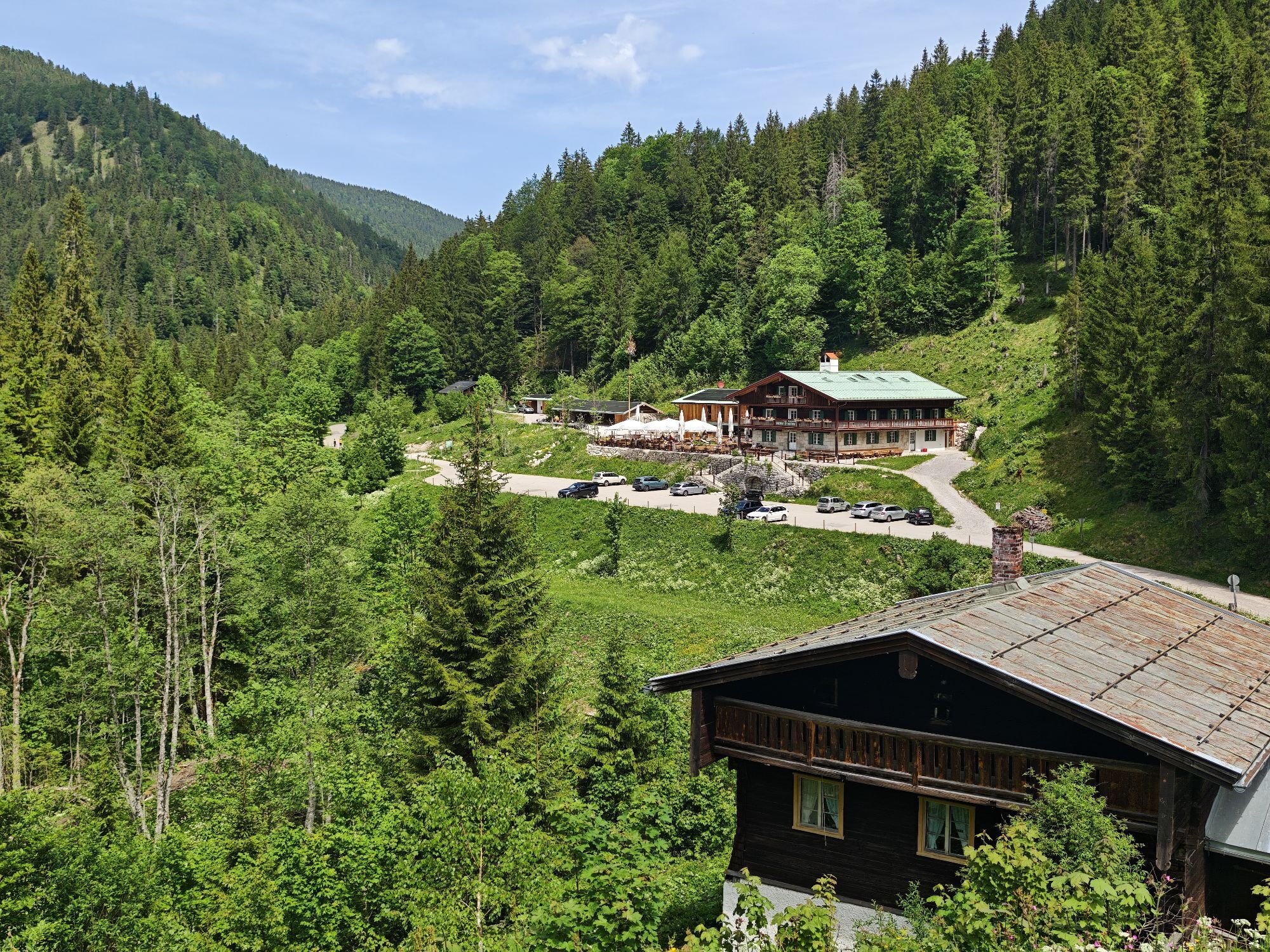
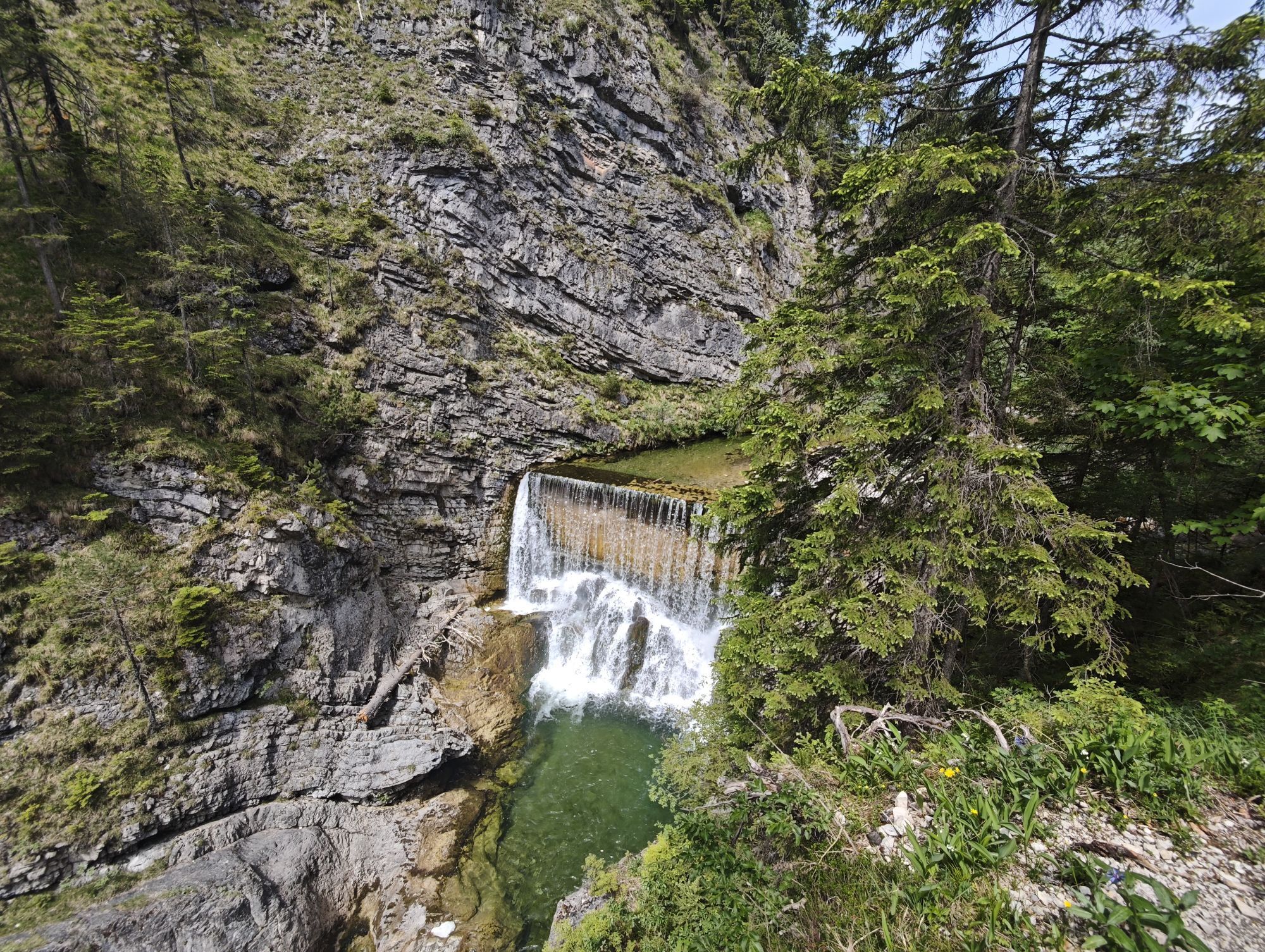
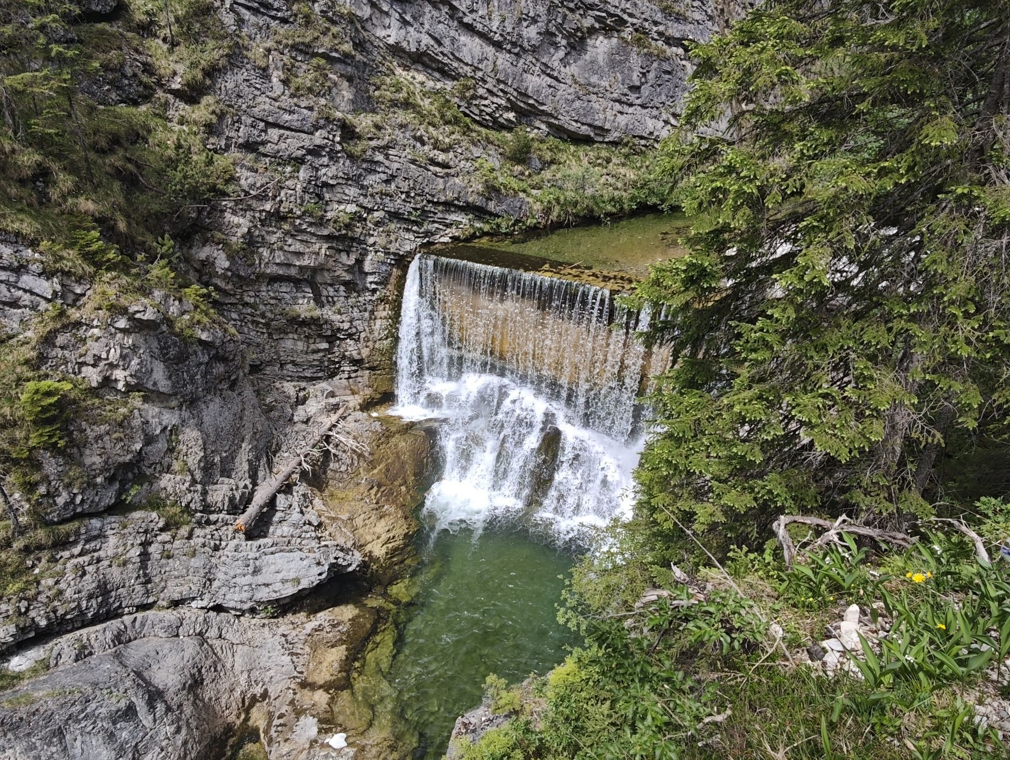
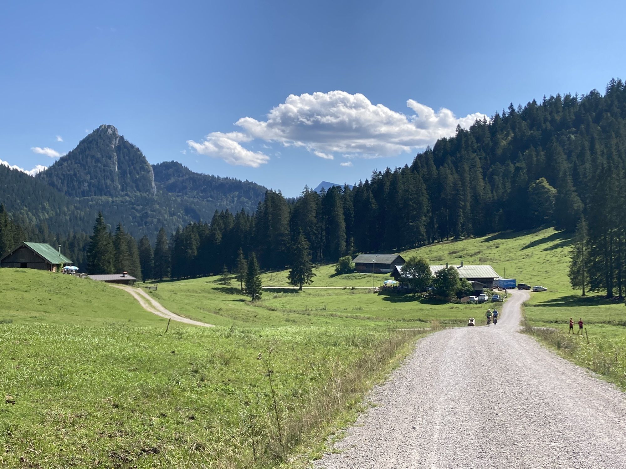
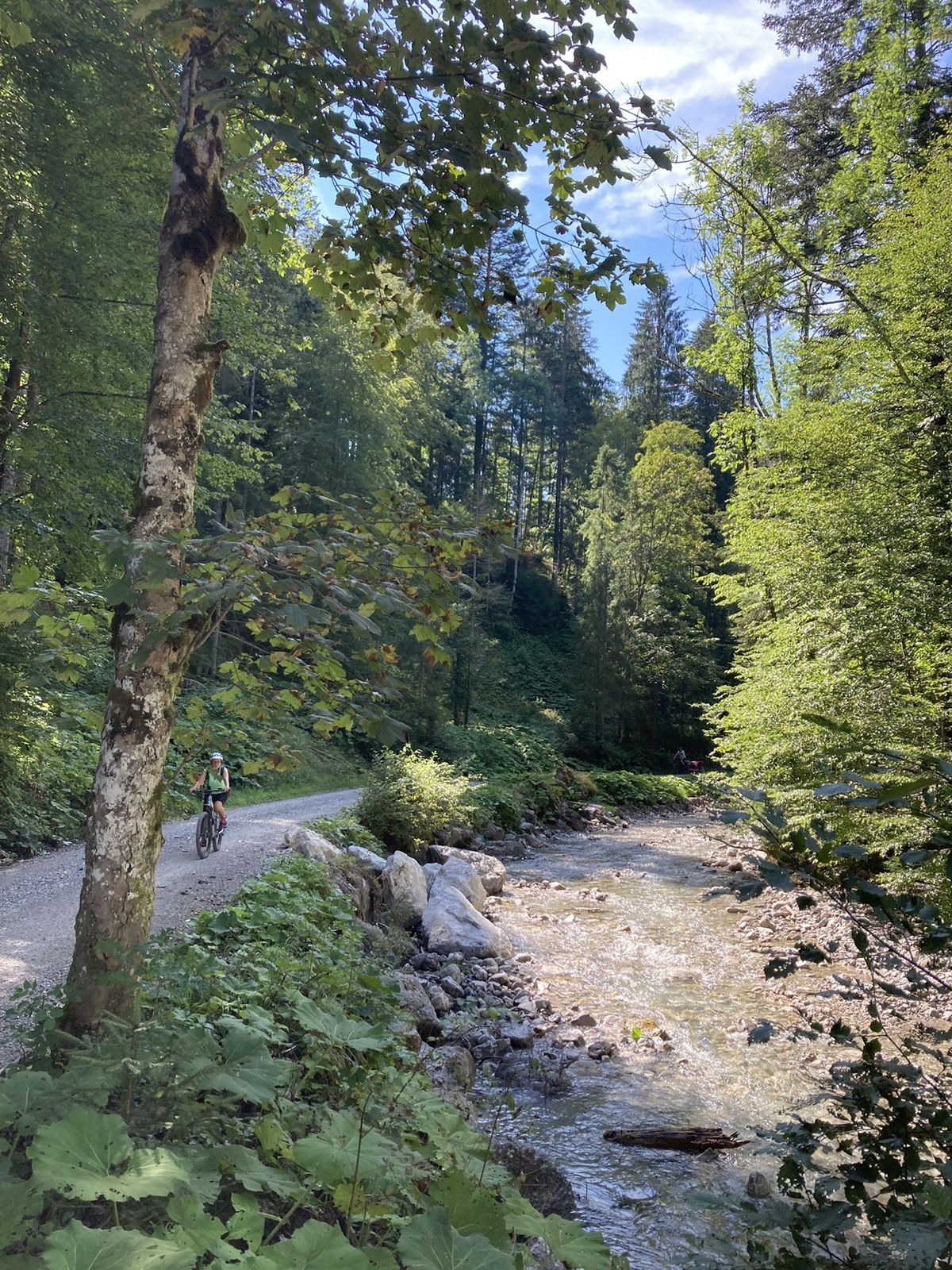
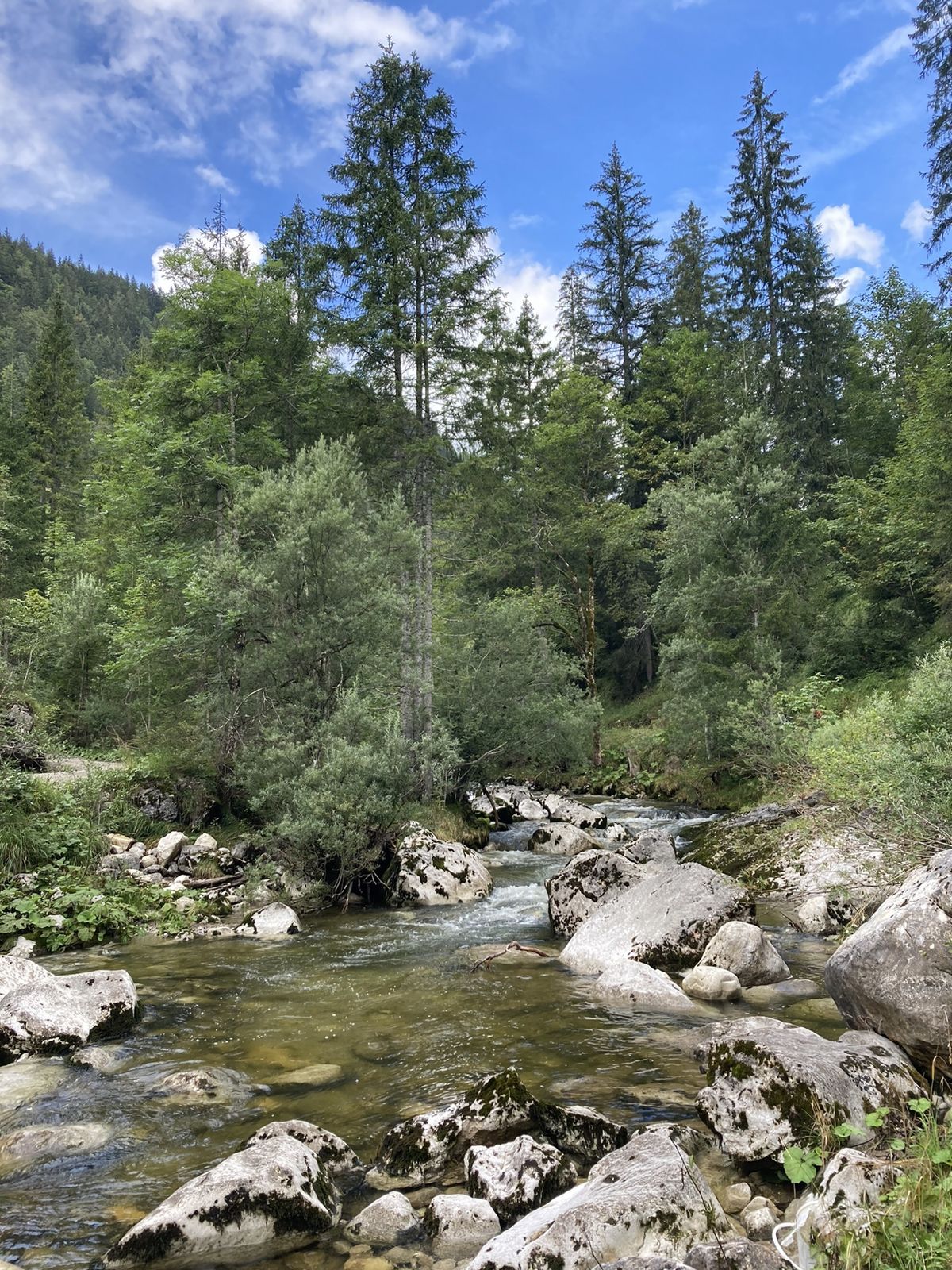
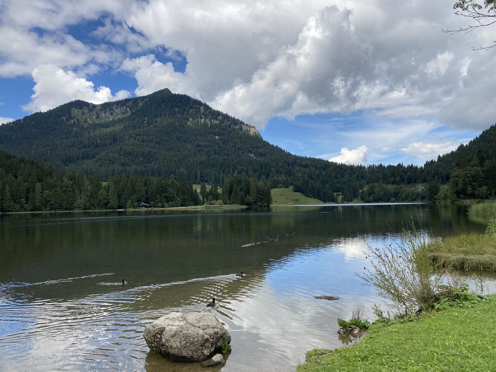
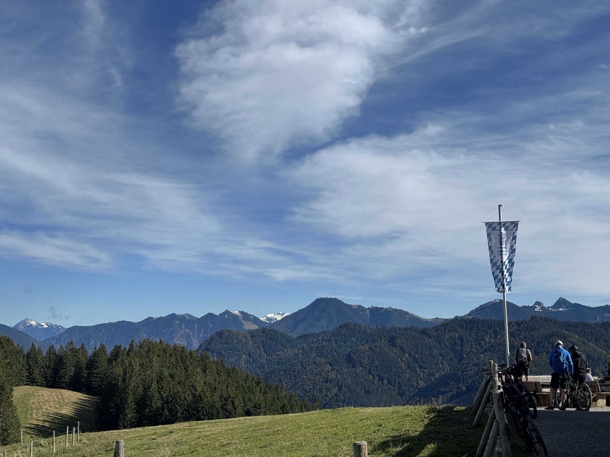
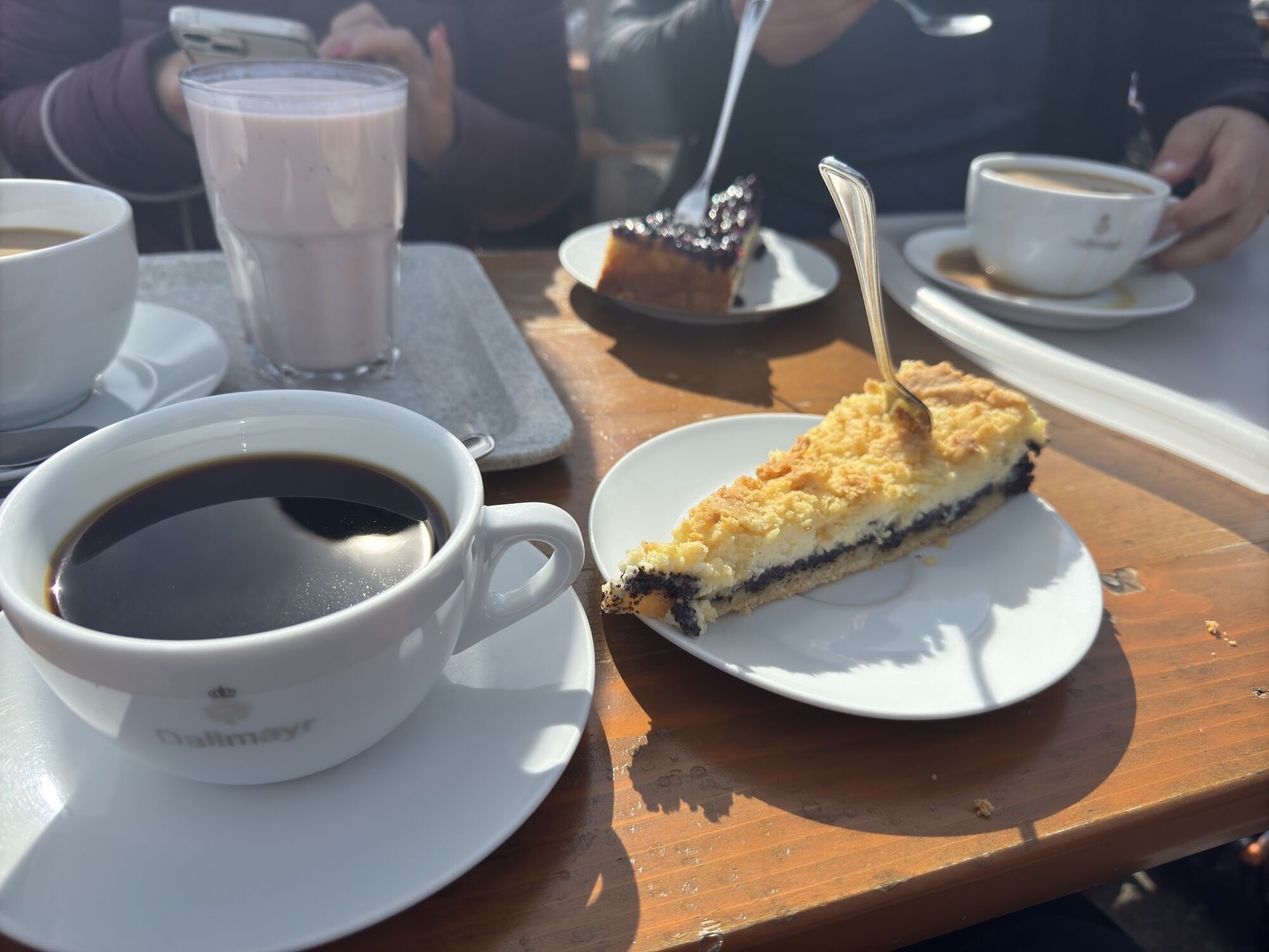
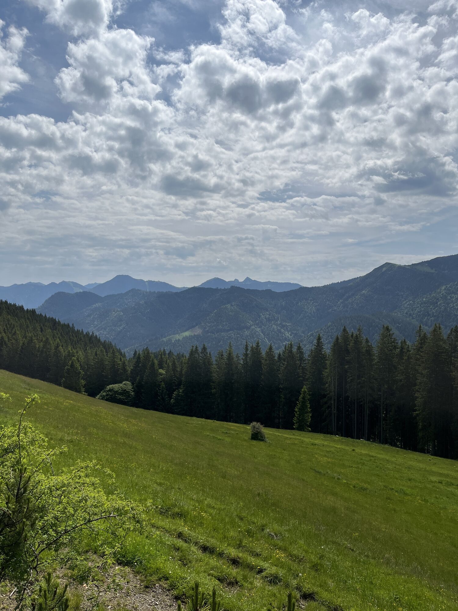
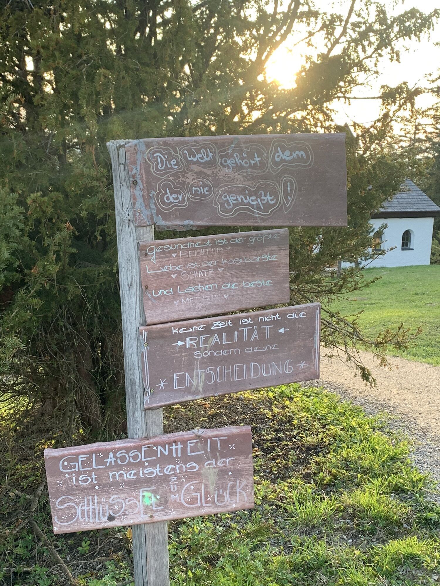
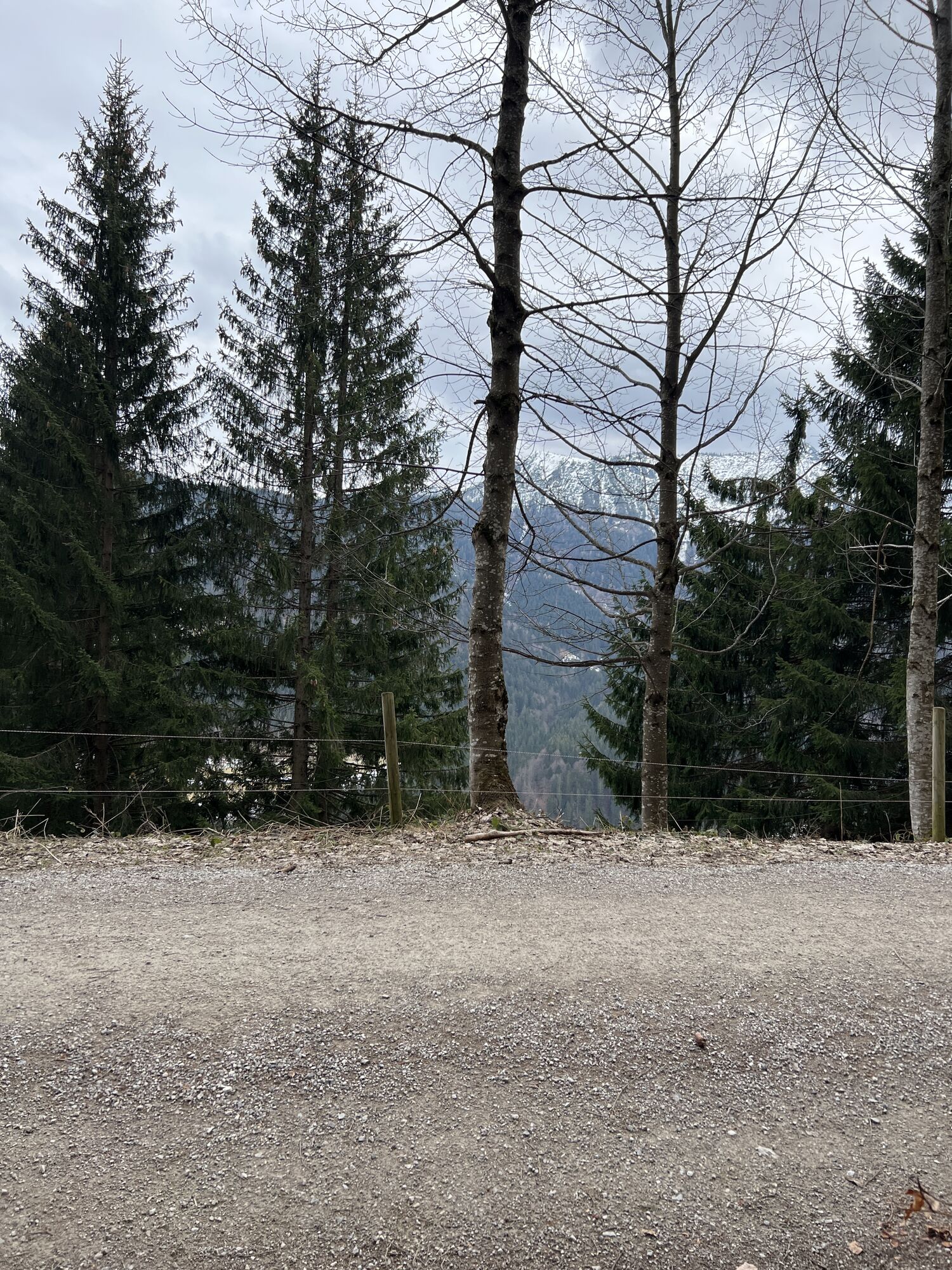


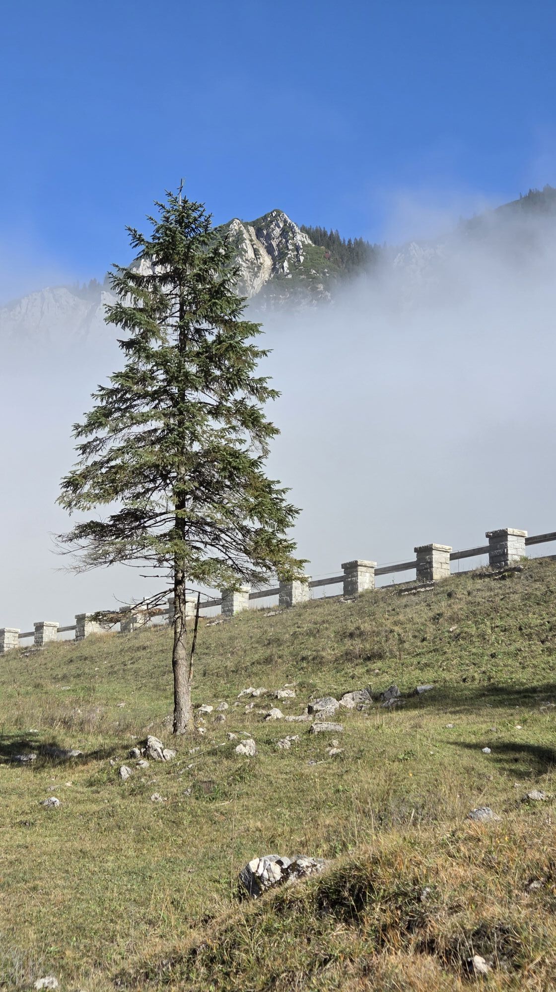
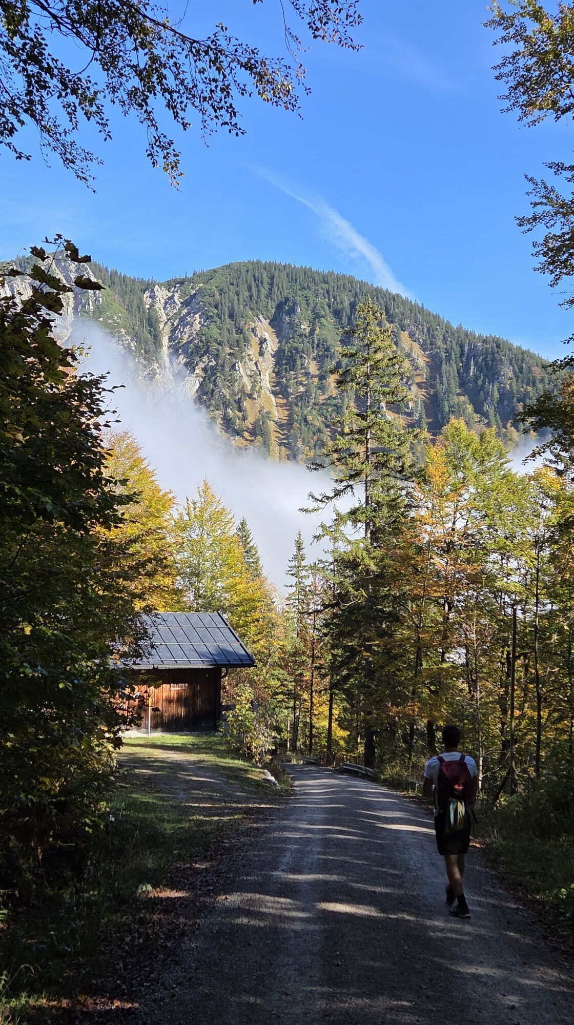
You do not have to fear difficult technical sections on this round; instead, it goes mostly on pleasantly wide forest roads and paved streets to beautiful refreshment stops and through lovely valleys away...
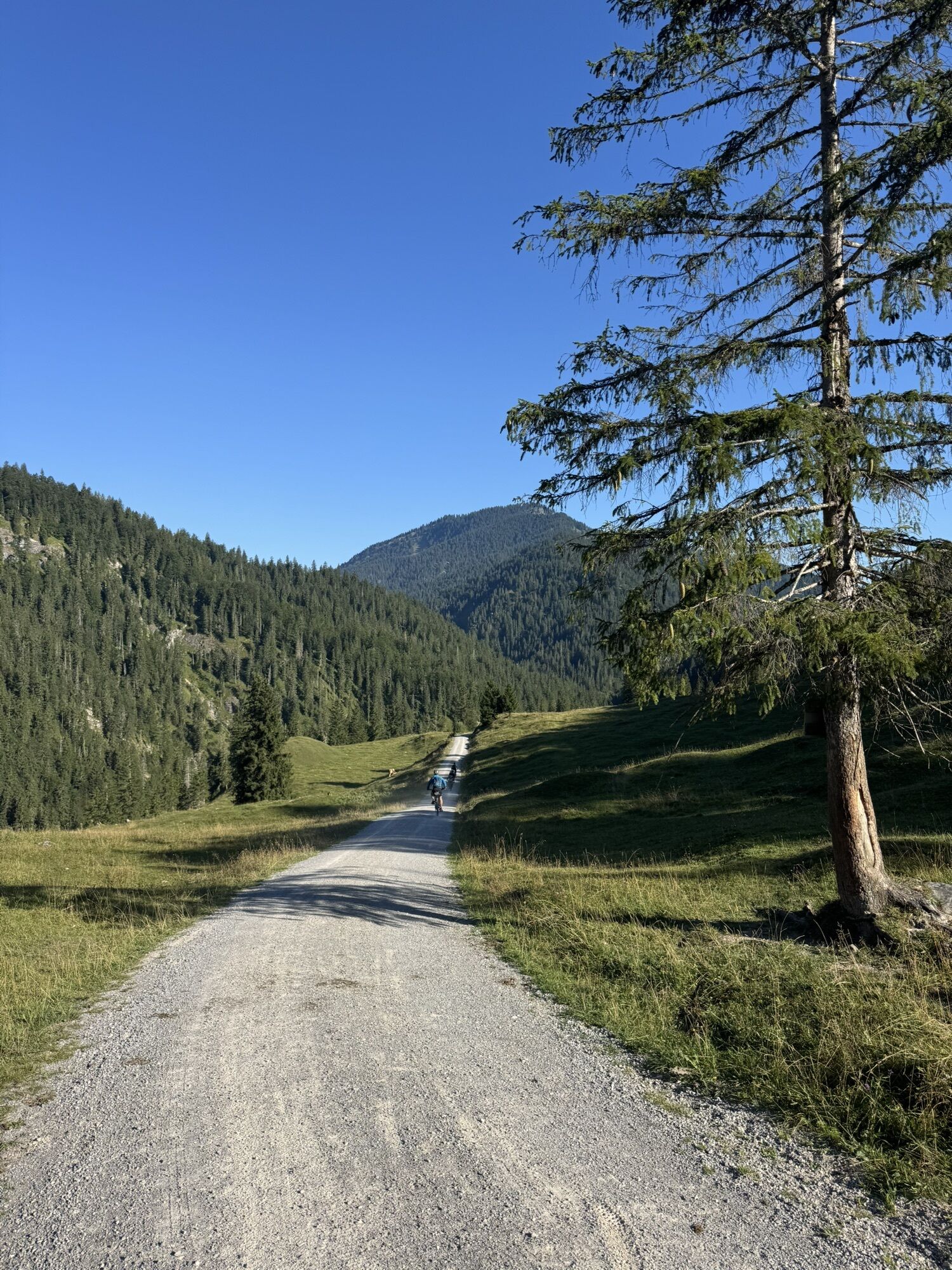
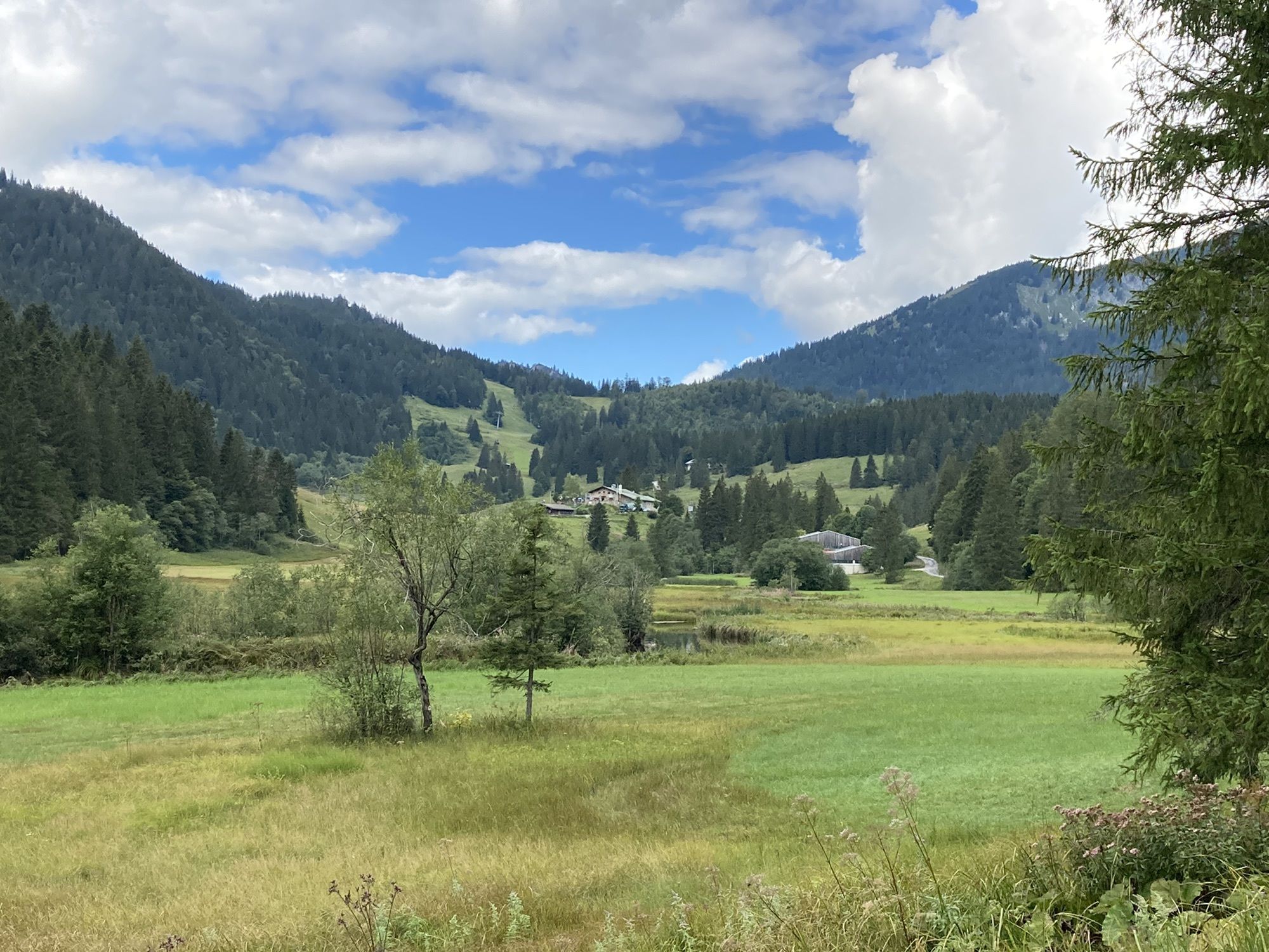
You do not have to fear difficult technical sections on this round; instead, it goes mostly on pleasantly wide forest roads and paved streets to beautiful refreshment stops and through lovely valleys away from car traffic.
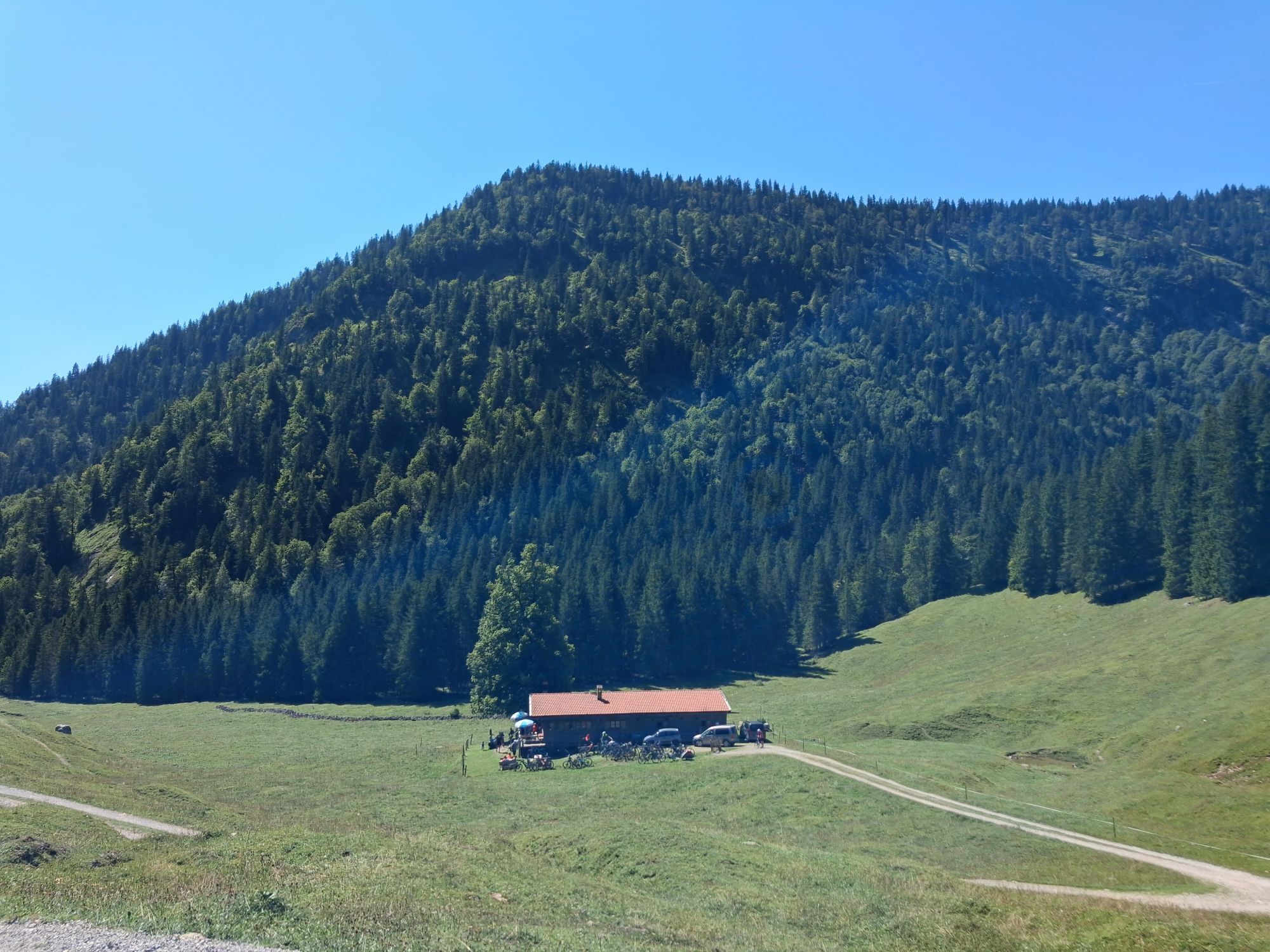
Except for two short push sections, right after Bayralm and between upper Firstalm and lower Freudenreichalm, the route can be ridden continuously. Attention: Right after Firstalm, there are two crossings to Freudenreichalm. Here, the bike may have to be lifted over the fence, and the path downhill to Firstalm is very rocky (about 600 m).



From Kreuth, follow the Raineralm cycle path upstream along the Weißach River until the junction on the left toward Schwaigeralm and Bayralm. Along the Sagenbach, the route initially goes gently, then steeper uphill into the Langenau (616) and over a small saddle to the wonderfully located Bayralm.
From there, you roll partly steeply downhill (depending on riding ability, a short push-carry section is recommended) down to the Erzherzog-Johann-Klause.
This is a welcome stopover and has been open again since summer 2020.
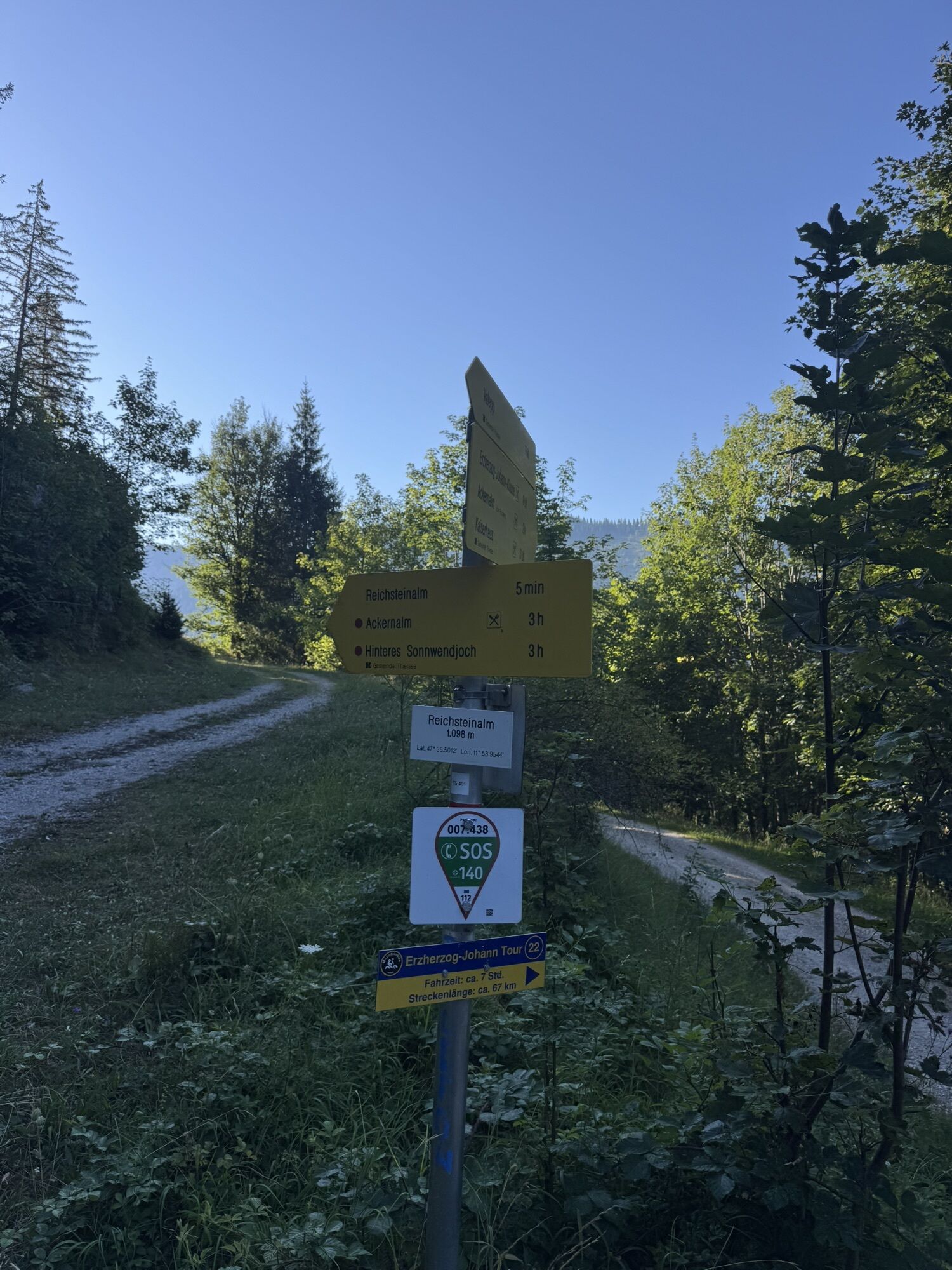
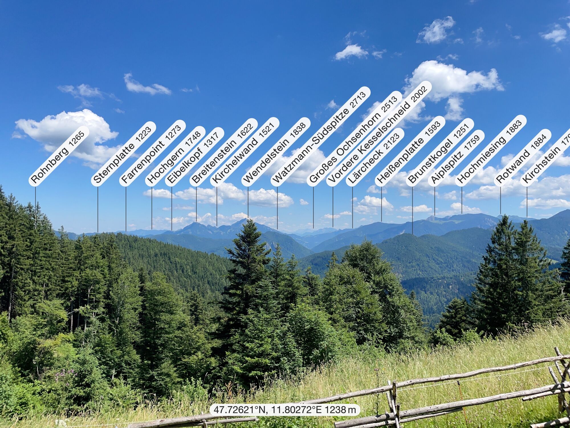
Now it goes steeply uphill northwards to the Reichsteinalm before you can roll towards the Forsthaus Valepp.
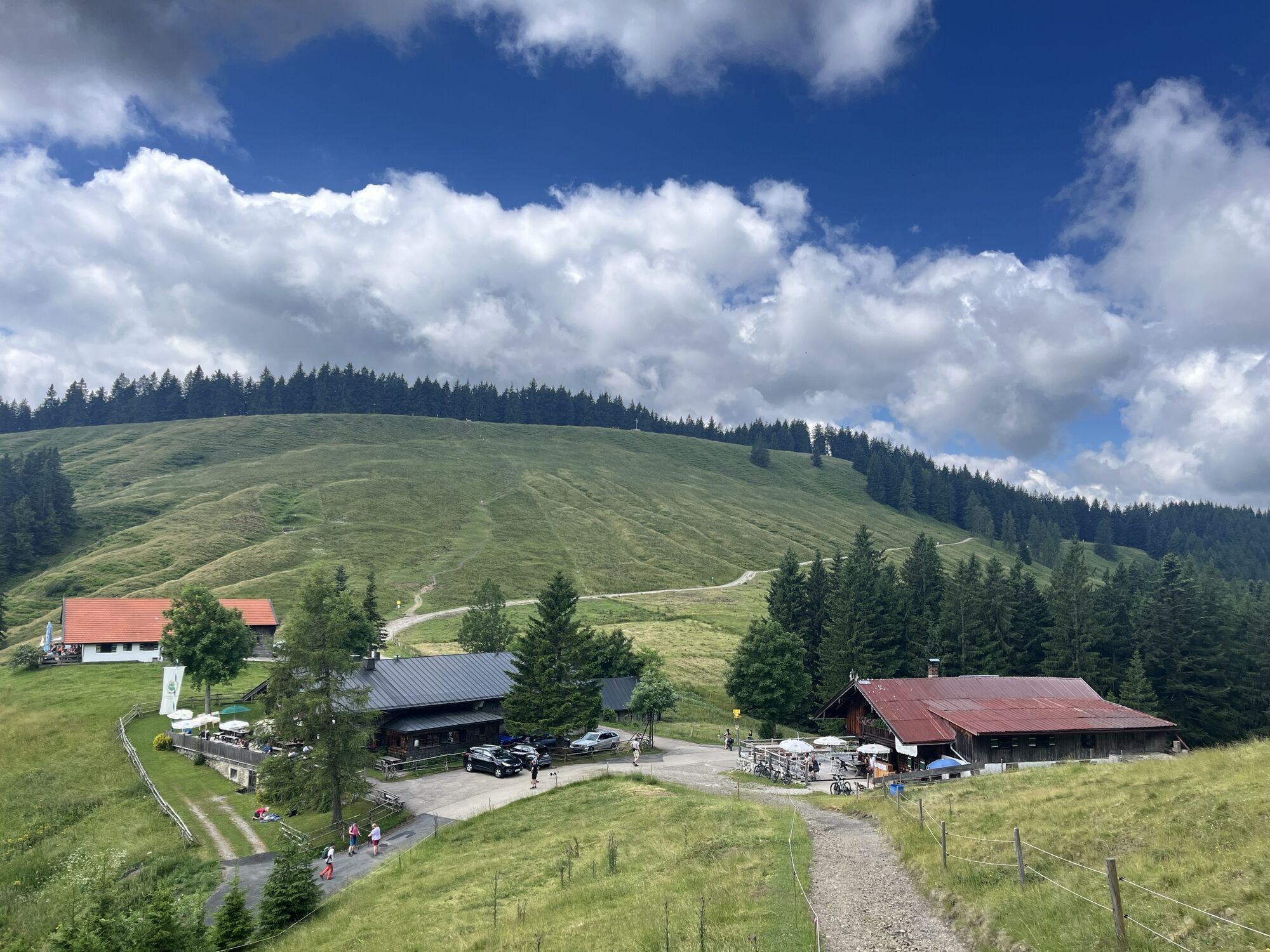
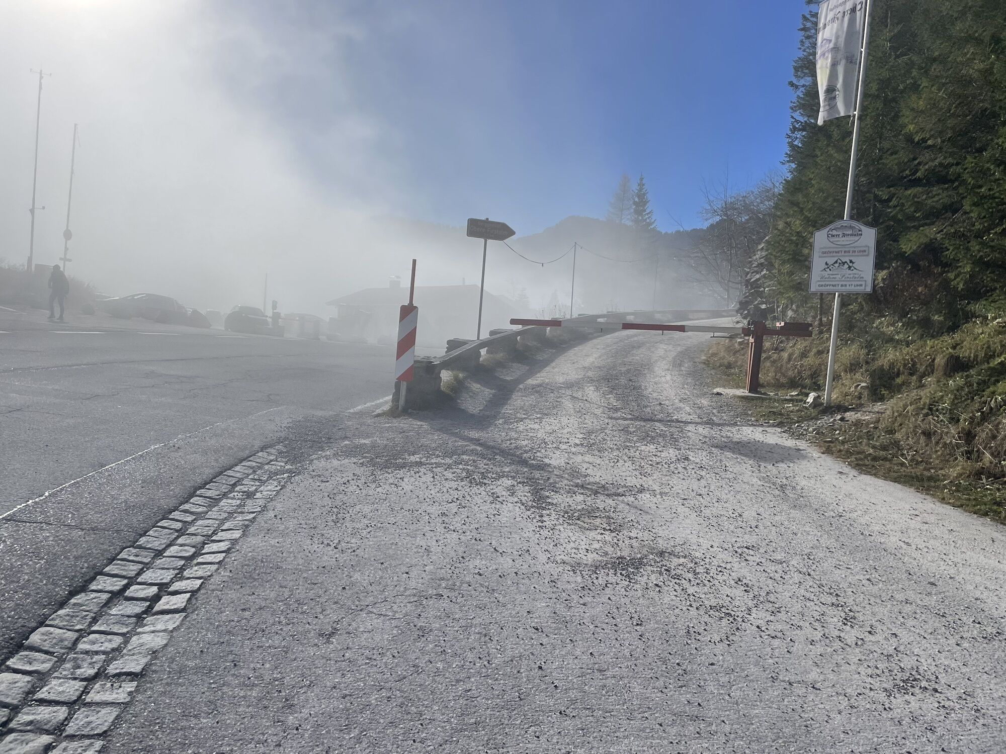
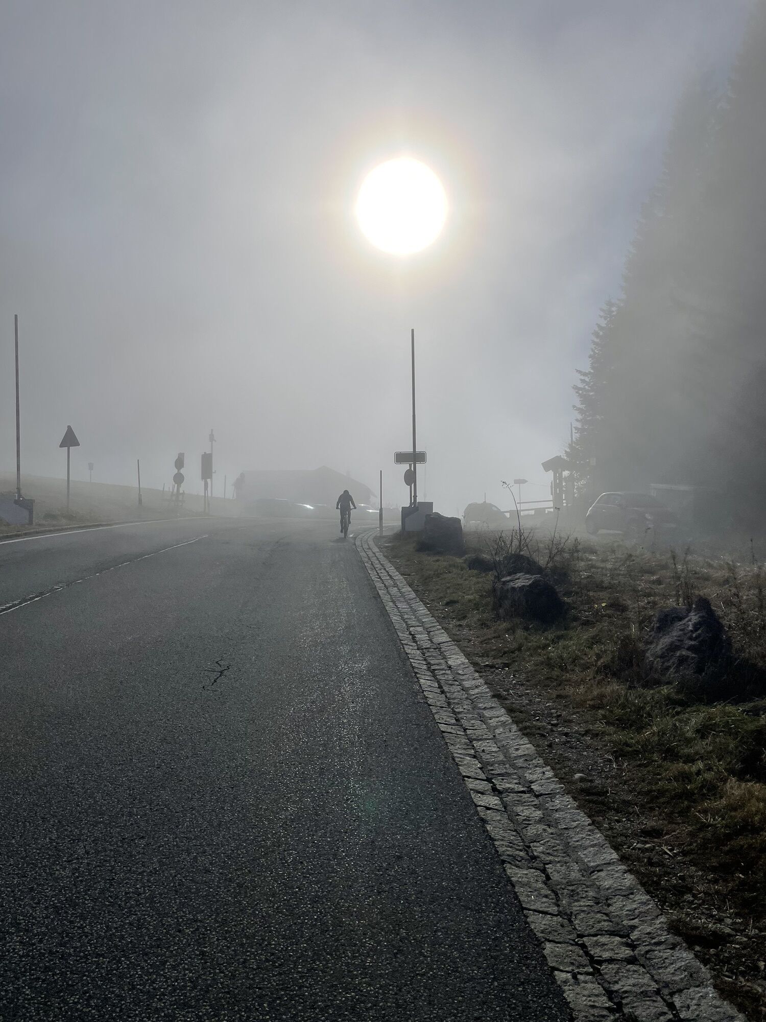
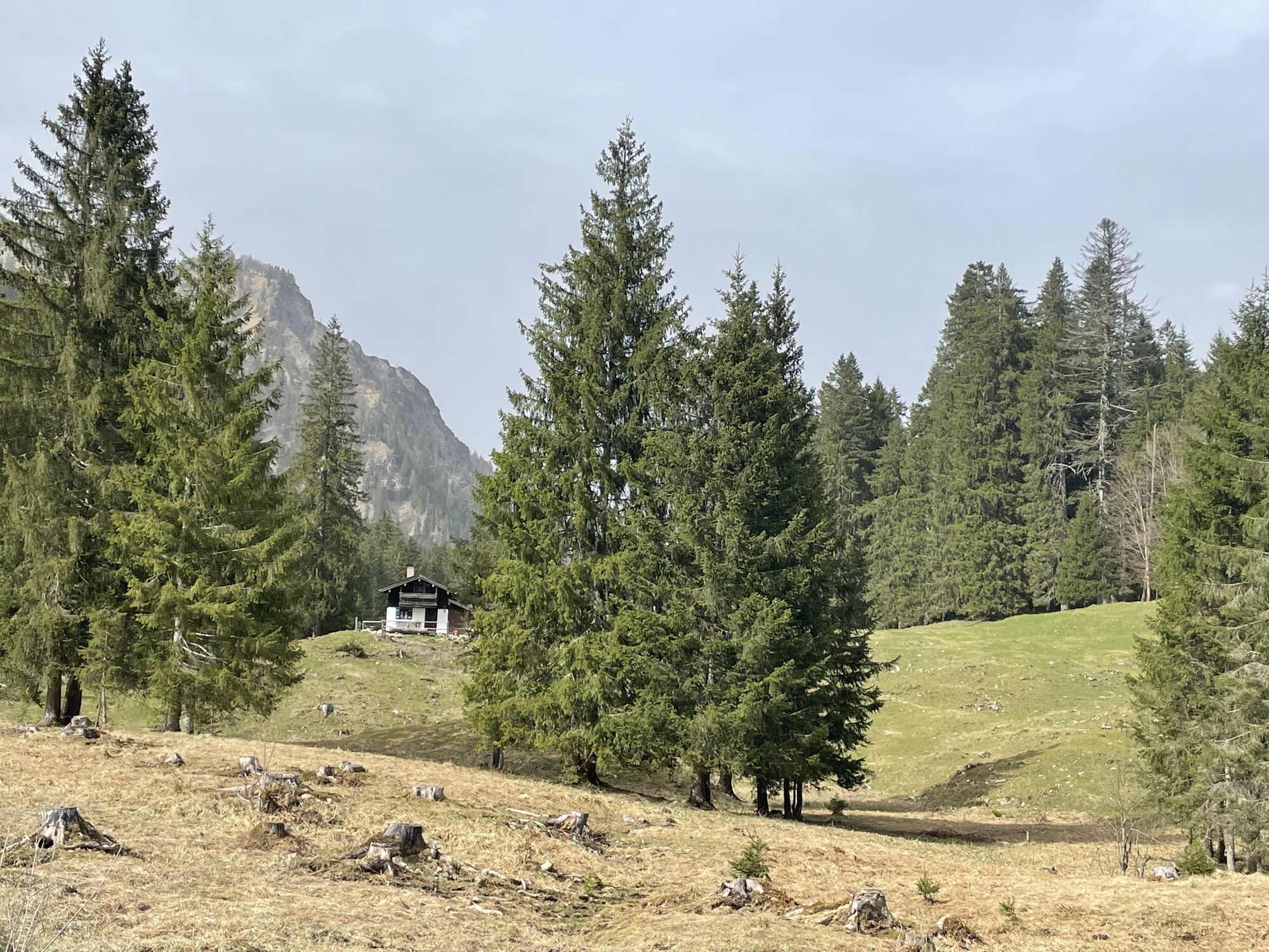
From here, it goes uphill again – but on a paved road and with a pleasant gradient – to Spitzingsee (649). After a break by the lake, we turn left at Spitzingsattel to the upper Firstalm (637). Up to the alpine guesthouse, it goes steeply uphill again, then downhill to the right with a short push (possibly even a carry section, approx. 600 m) to the managed Freudenreichalm.
Next, it goes continuously downhill on forest road 626b to Hennerer Au, after which it becomes really steep again – a sharp "sting" uphill – to the Gindelalmen (681).
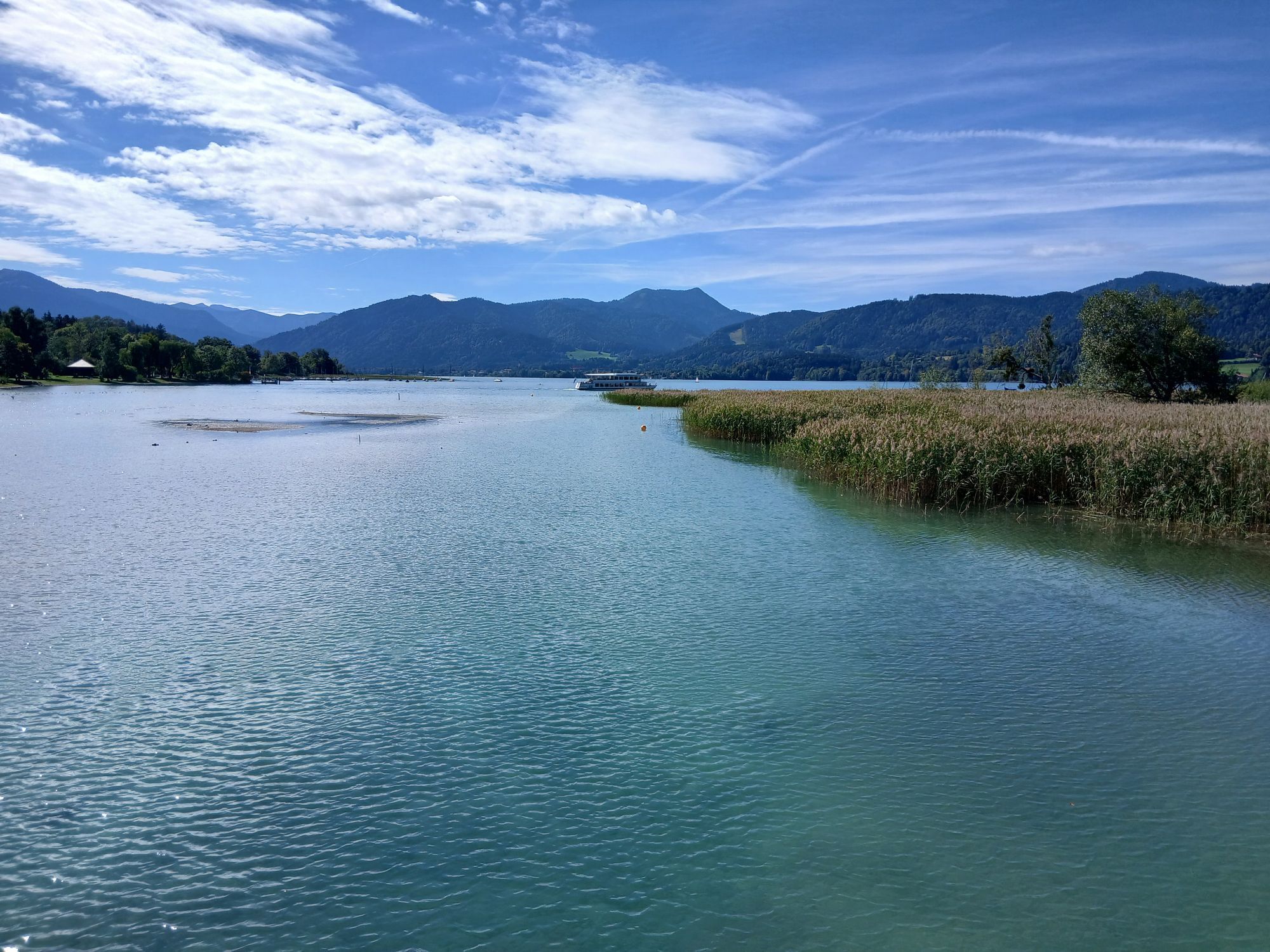
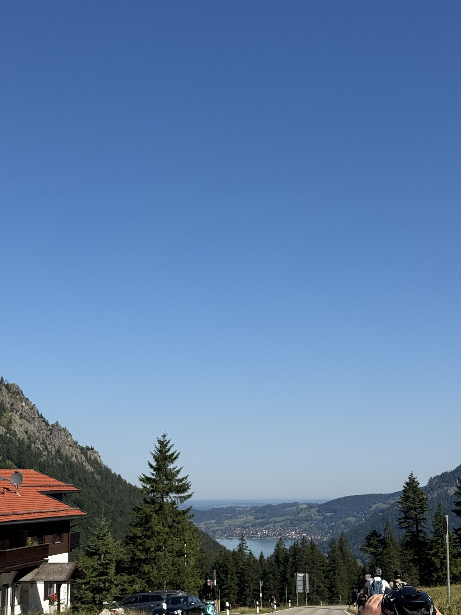
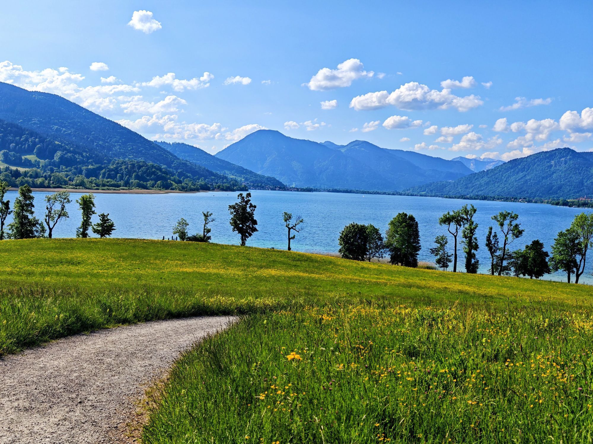
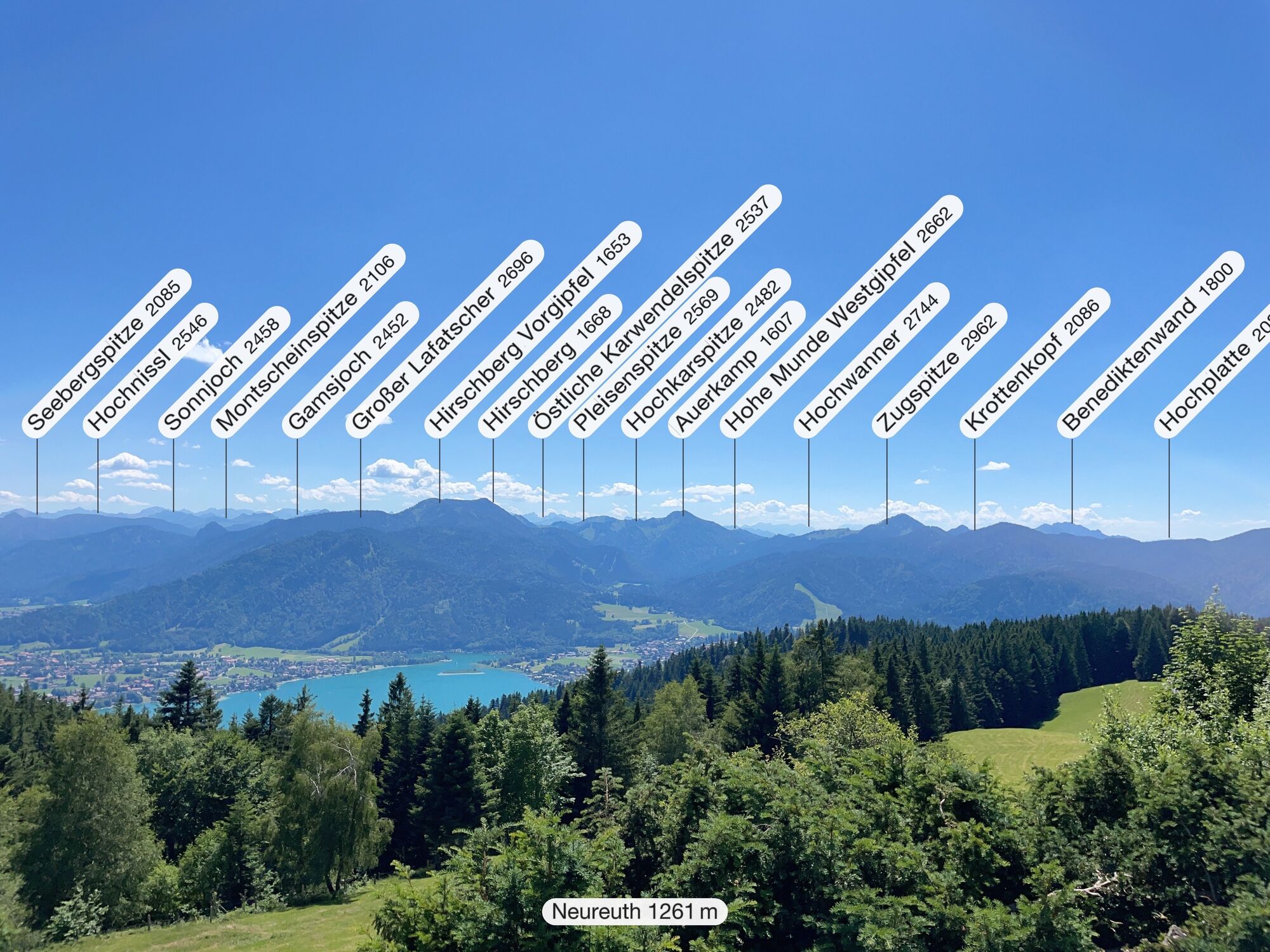
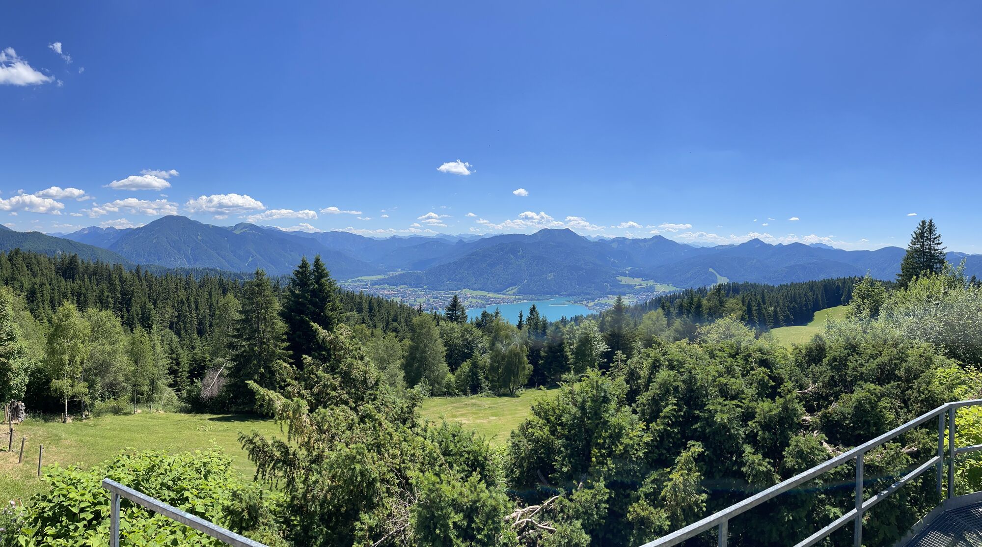
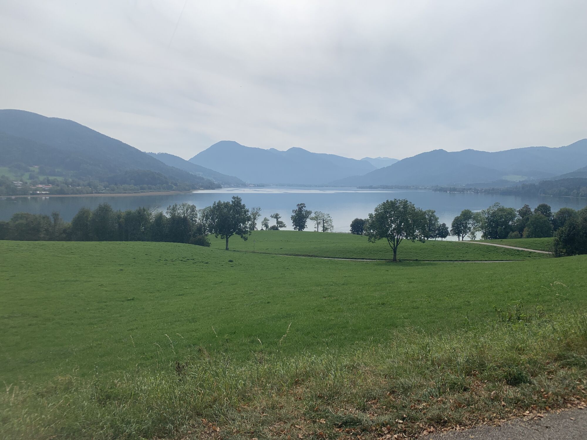
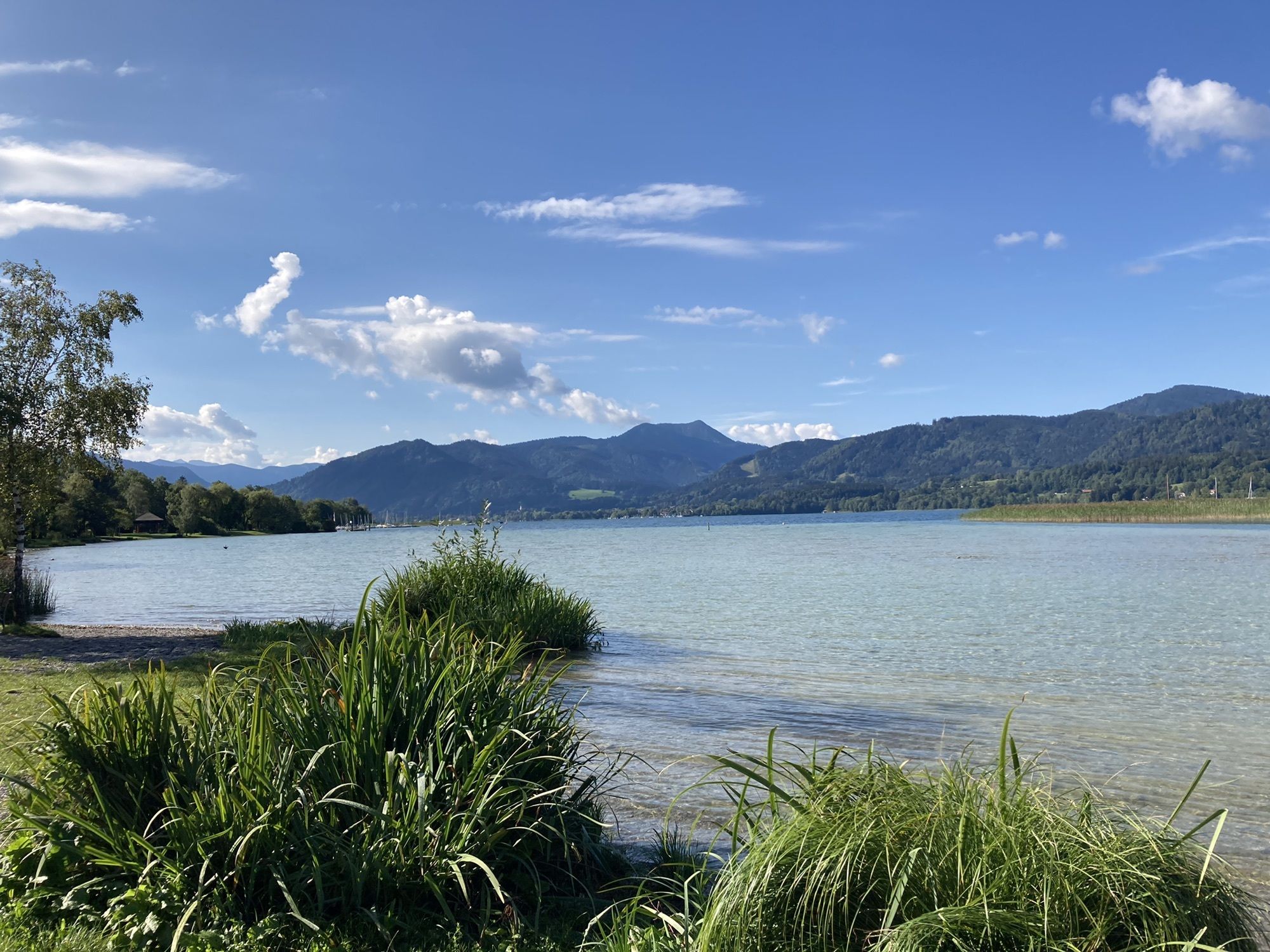
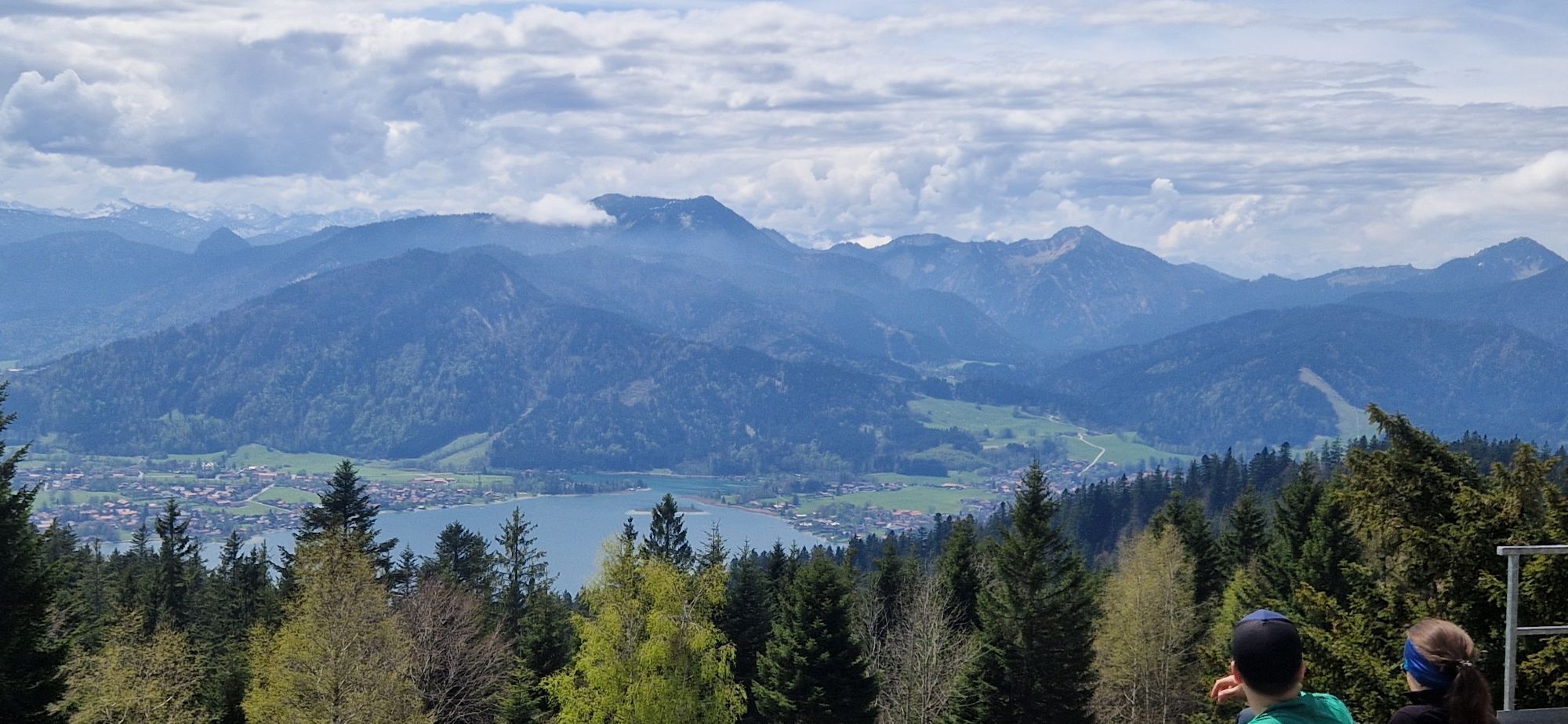
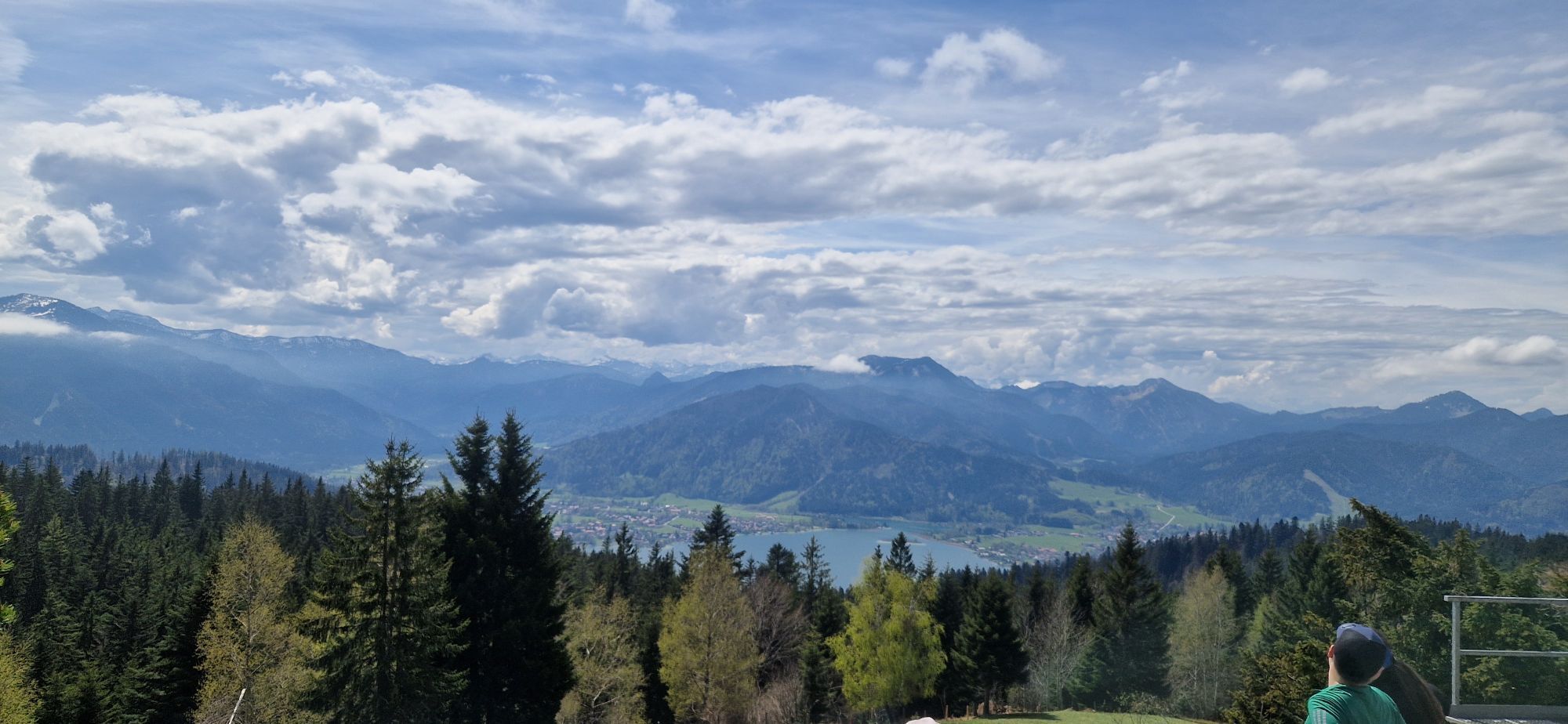
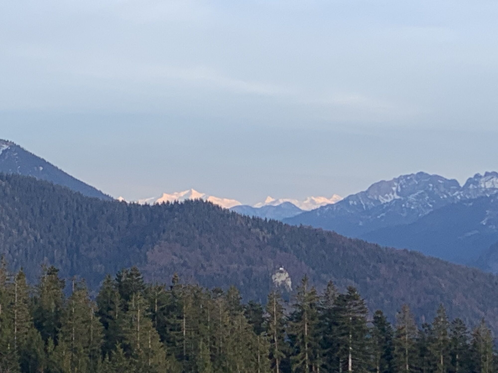
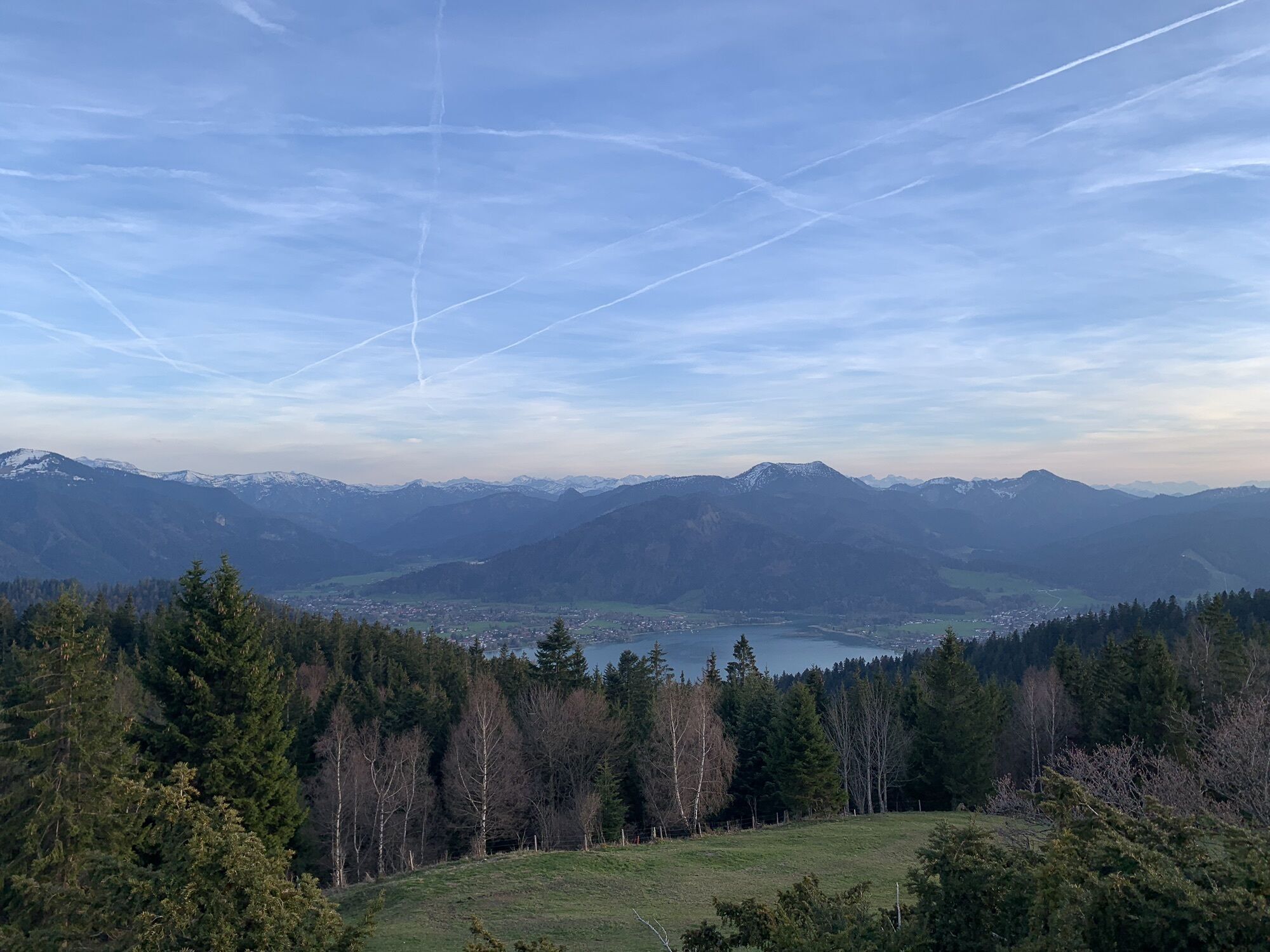
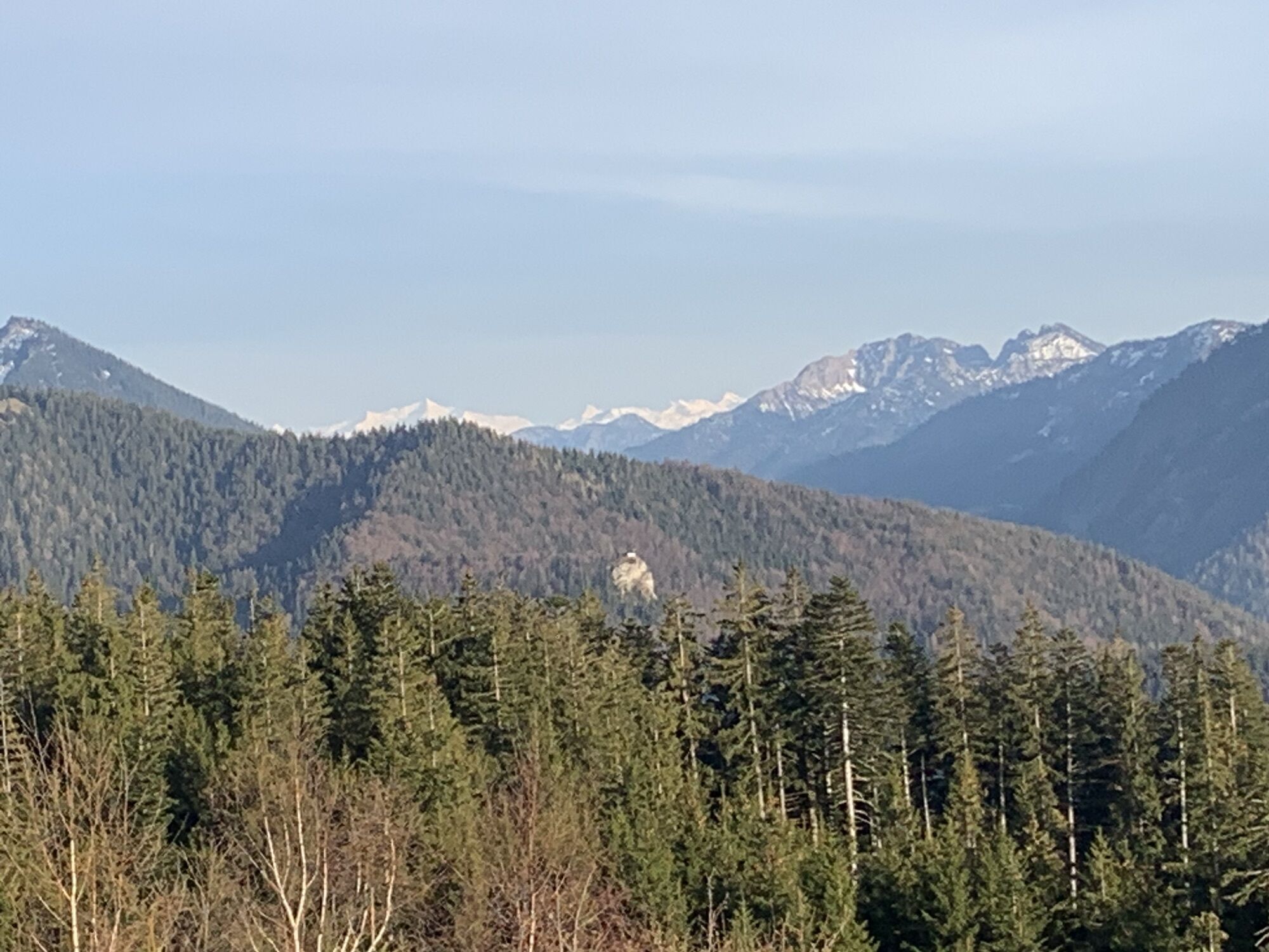
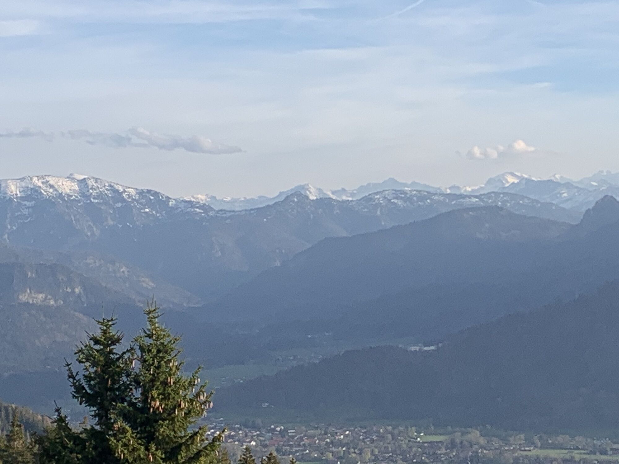
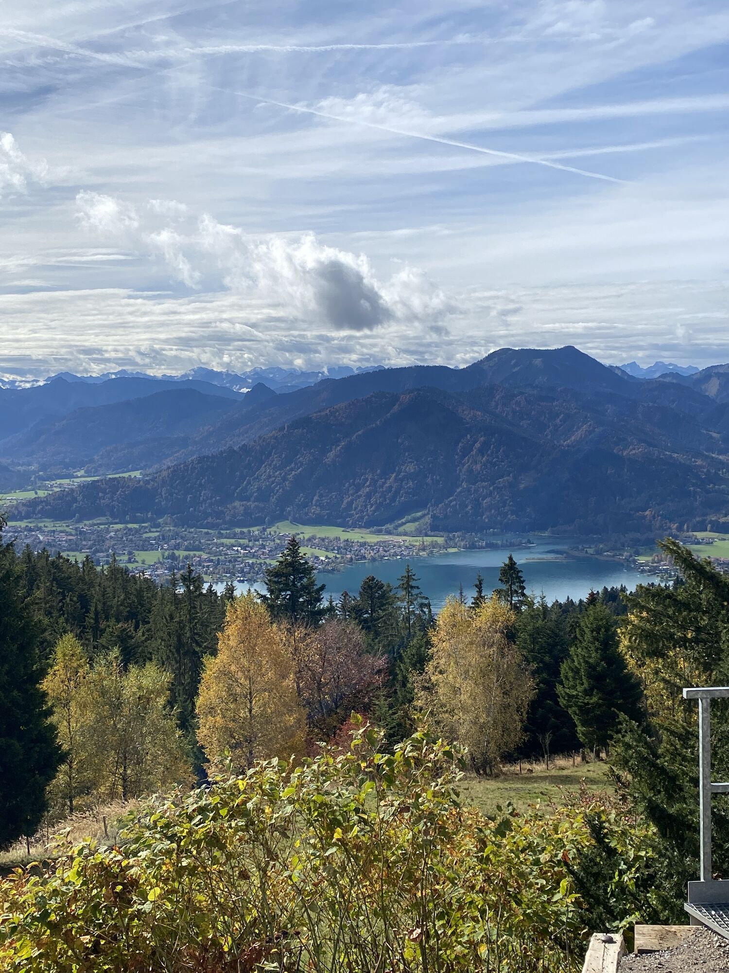
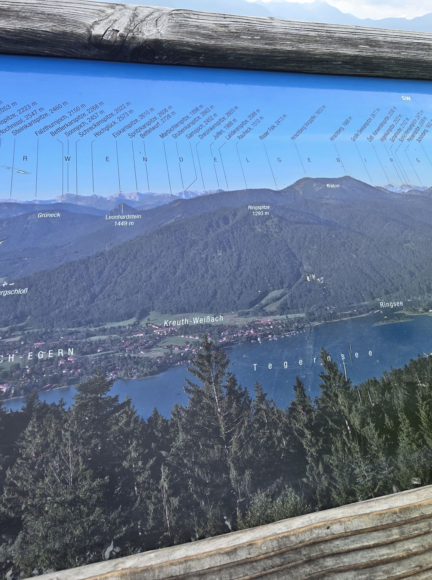
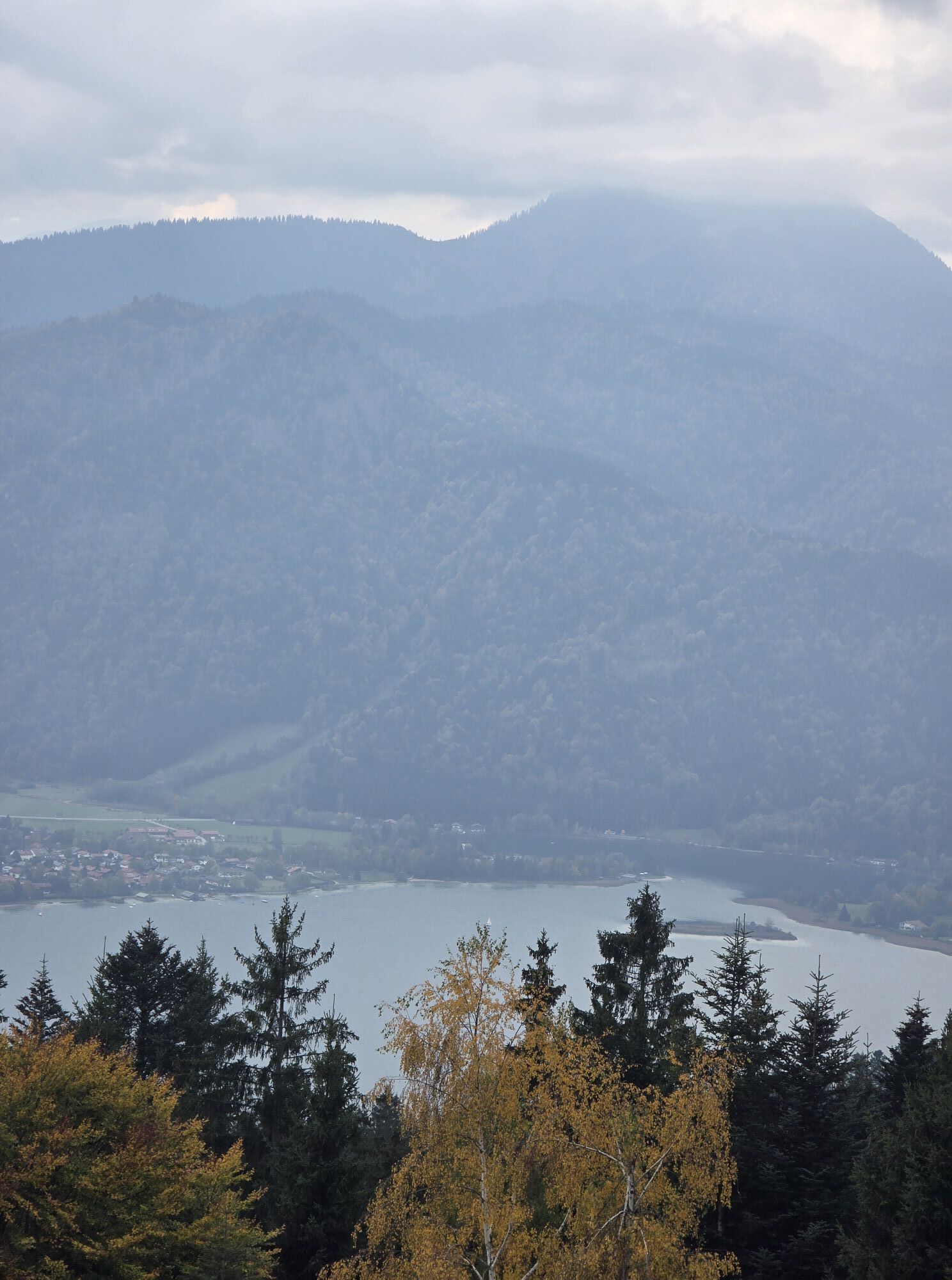
Over a mountain ridge, we then reach the Neureuth House with panoramic views of the Tegernsee and surrounding mountains (continuing 681). To continue to Gmund, you have to backtrack a little from Neureuth House and push your mountain bike (then turn left) briefly over a meadow and a steep forest section. The route then continues mostly downhill to the shore of the Tegernsee at Gmund - Seeglas (only briefly on path 683a, then forest road 683, 510, to OT Gasse) .
The next destination from the Seeglas beach is the Aueralm above Bad Wiessee. Via the Gut Kaltenbrunn, we first drive north (toward Holz, then right at Steinberg path 820) to the Margarethenhof golf course, further west to the village of Marienstein. In the village, we keep left towards Bad Tölz before the path to Aueralm branches off to the left (602) shortly before a forest section at the village end. Passing Kogelkopf and Breitenberg, we reach a nice viewpoint through forest roads (path 696) and then the Aueralm, the last great elevation gained.
Downhill on forest road 603 towards Bad Wiessee. Upon reaching Söllbach, we now turn sharply right (604) to the last "stage goal" of Schwarzentenn Alm.
From here on, we just enjoy! Downhill to the gorge, across the federal road and left on path 501 to Wildbad Kreuth, soon rejoining the already known path along the Weißach to the starting point in the mountain village Kreuth.
The route can be shortened multiple times or extended as desired.
For an extension, a detour to Rotwandhaus or a "loop" to Schliersee is suggested.
Note:
The path numbers indicated in the text serve for orientation and relate to the yellow signs of the hiking trails.
The route is not signposted as a cycle path.
We recommend using GPS data or for orientation the hiking map "Tegernsee-Schliersee-Wendelstein".
Da
Technically flawless mountain bike, helmet, tools, provisions, change of clothes, mobile phone, first aid kit.
All information without guarantee. Walking and riding the described routes is at your own risk, please also observe short-term trail closures.
Please always consider others alongside nature. For example, mutual consideration between mountain bikers and hikers is mandatory to avoid unnecessary accidents and make a wonderful nature experience possible for all.
A8 to Holzkirchen exit, via B318 and B307 to Kreuth.
Coming from the south via the Achen Pass to Kreuth town center, or start the route directly from the Wildbad Kreuth parking lot.
Arrival is possible by bike and the Bavarian Regiobahn to Tegernsee station.
General notes from Regio Bahn on bike transport:
The number of bicycles per vehicle is limited for safety reasons.
Unfortunately, there is generally no entitlement to transport bicycles.
Before boarding, please remove luggage and bike bags so that the bikes can be optimally arranged next to each other.
Please use the entrances marked outside with the bicycle symbol and park your bike in the so-called multipurpose area.
The safety of all passengers must be guaranteed at all times, so please keep escape routes clear and be considerate of other passengers.
Please follow the instructions of the train staff. Our employees are responsible for safety on the train and therefore decide whether bike transport is still possible in case of high demand.
Passengers with wheelchairs or strollers have priority.
Stay near your bike to hold it if necessary.
Some connections in the morning and evening, mostly between 8:00 and 11:00 as well as 16:00 and 19:00, are particularly popular.
Consider possibly choosing earlier or later trains. Demand also quickly rises with sudden weather changes.
E-bikes with insurance plates are excluded from transport.
Paid hiking parking lot Kreuth-Riedlern or Wildbad Kreuth.
On the cross-border route, there are many opportunities to stop for refreshments and also the possibility to cool off in Spitzingsee and Tegernsee. Still, be sure to take enough to drink!

Spletne kamere s turneje
-
Untere Firstalm
-
Wallbergbahn
-
Ödberg Talstation
-
Kreuth
-
Bergstation Taubensteinbahn
-
Talstation Stümpflingbahn
-
Jagahütt´n
-
Obere Maxlraineralm
-
Suttenabfahrt
-
Tegernsee
-
Hirschberglifte
-
Hausham
-
Taubensteinbahn - Bergstation
-
Schliersee - Café Milchhäusl
-
Hausham
-
Wallberg - Wallbergkircherl
-
Tegernseer Hütte
-
Rottach - Egern / Cafe Angermaier
-
Spitzingsee
-
Spitzingsee
-
Spitzingsee
-
Spitzingsee
-
Spitzingsee
-
Spitzingsee
-
Spitzingsee
-
Sonnenbichl Bergstation
-
Talstation Rosskopf
-
Kreuth
-
Schliersee
-
Tegernsee West
-
Wallbergbahn
-
Wallbergbahn
-
Wallbergbahn
-
Wallbergbahn
-
Wallbergbahn
-
Spitzingsee
-
Obere Firstalm
-
Obere Firstalm
-
Ödberg Bergstation
-
Anderlbauer Schliersee

Priljubljeni izleti v okolici
-
4.8
Königsalm
srednjaPohodništvo 10.0 km -
4.7
Alpbach valley and Neureuth
srednjaPohodništvo 12.9 km -
4.7
Summit route to the Wallberg
srednjaPohodništvo 12.2 km -
4.6
Roß- and Buchstein, Tegernsee Hut
težkoPohodništvo 14.4 km -
4.8
Leonhardstein
srednjaPohodništvo 8.17 km -
4.3
Tegernsee Höhenweg - North
svetlobaPohodništvo 12.3 km -
4.8
Lengrieser Hütte
srednjaPohodništvo 10.6 km -
4.7
Hirschberg
srednjaGorski pohodništvo 12 km -
4.6
Rotwand über Schliersee, Deutschland
srednjaPohodništvo 15.4 km -
4.6
Brecherspitze
srednjaGorski pohodništvo 14.5 km
Pohodništvo in sledenje


Ne zamudite ponudb in navdiha za naslednje počitnice
Vaš e-poštni naslov je bil dodan na poštni seznam.


