







Rhön Cycle Path TransTriskele
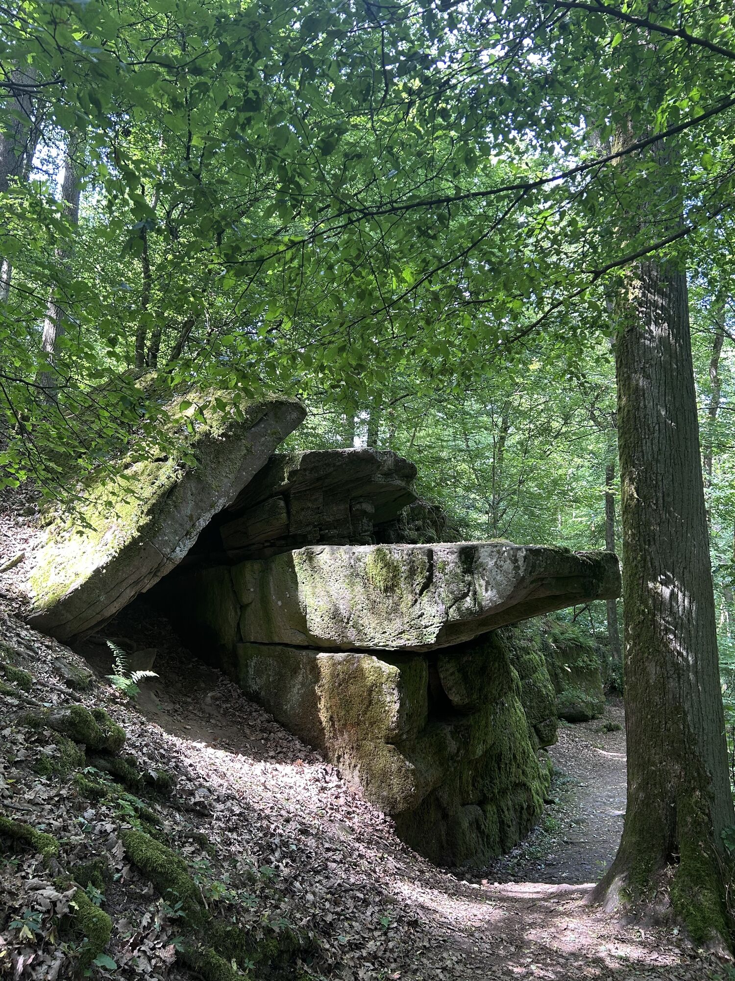
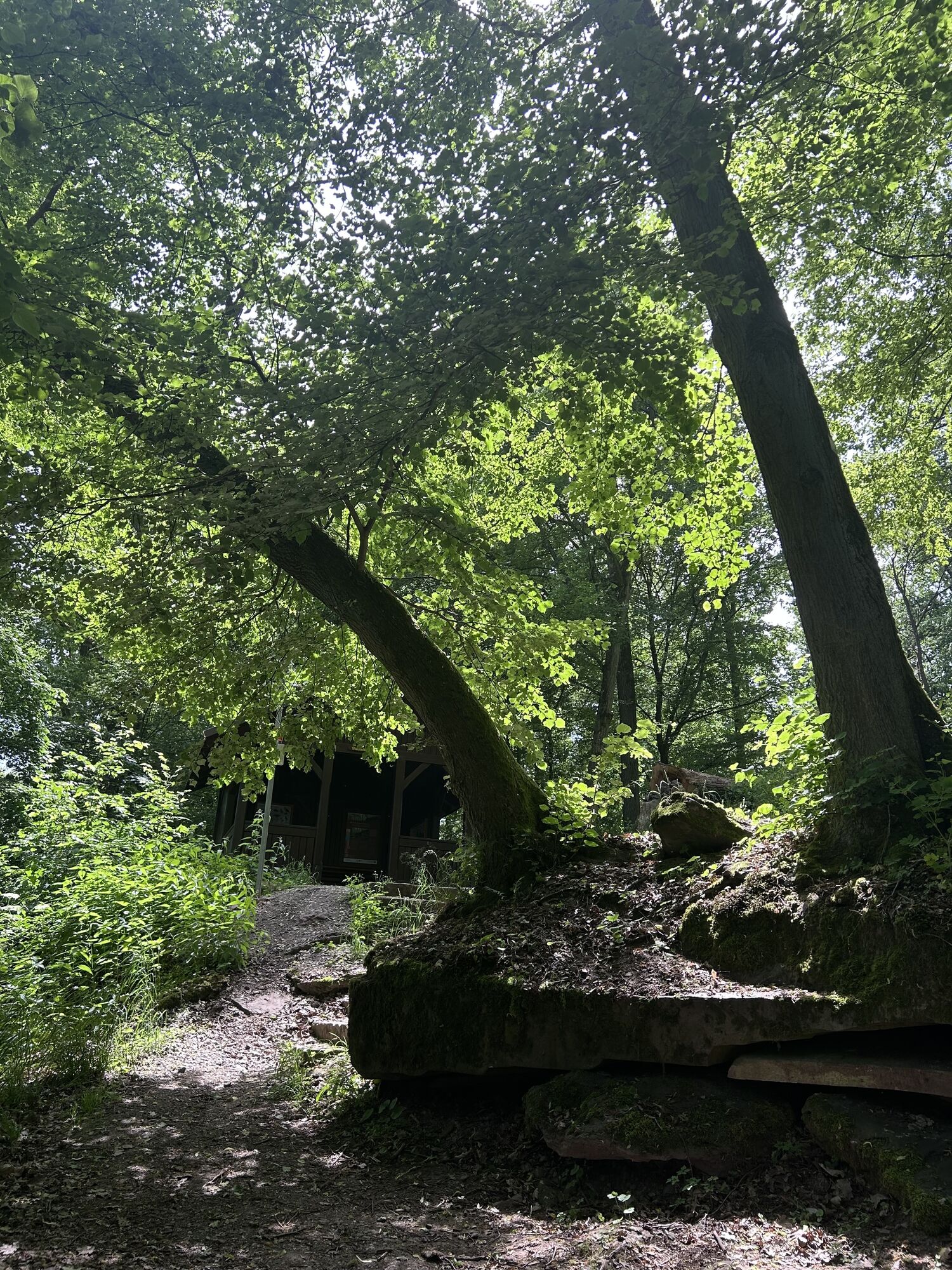
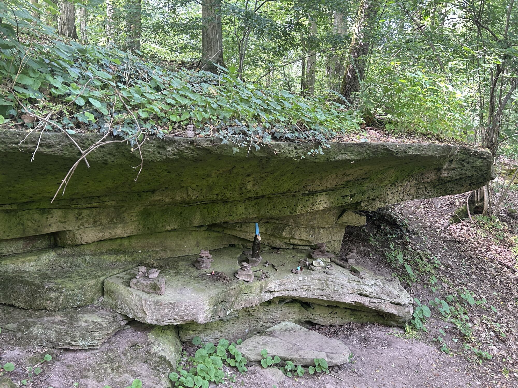
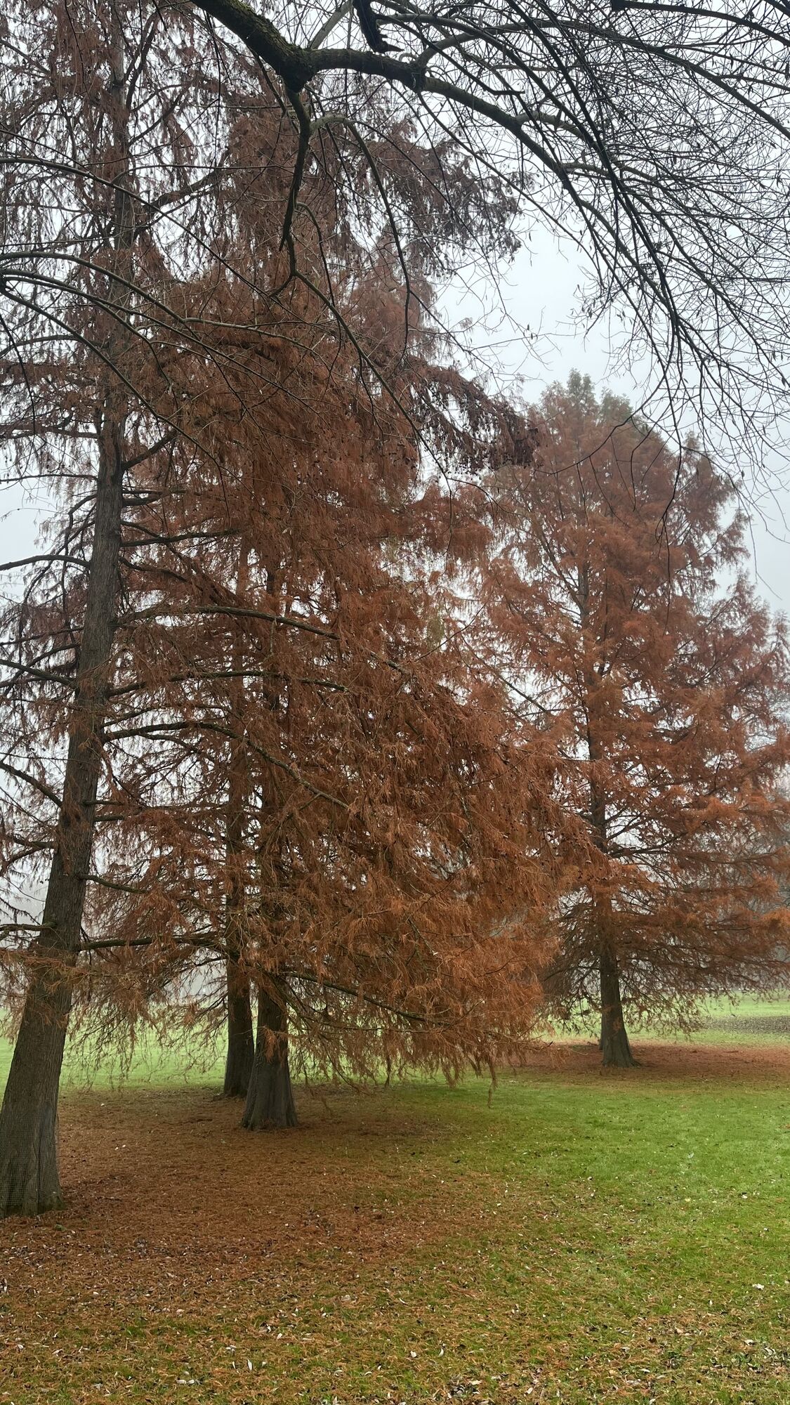

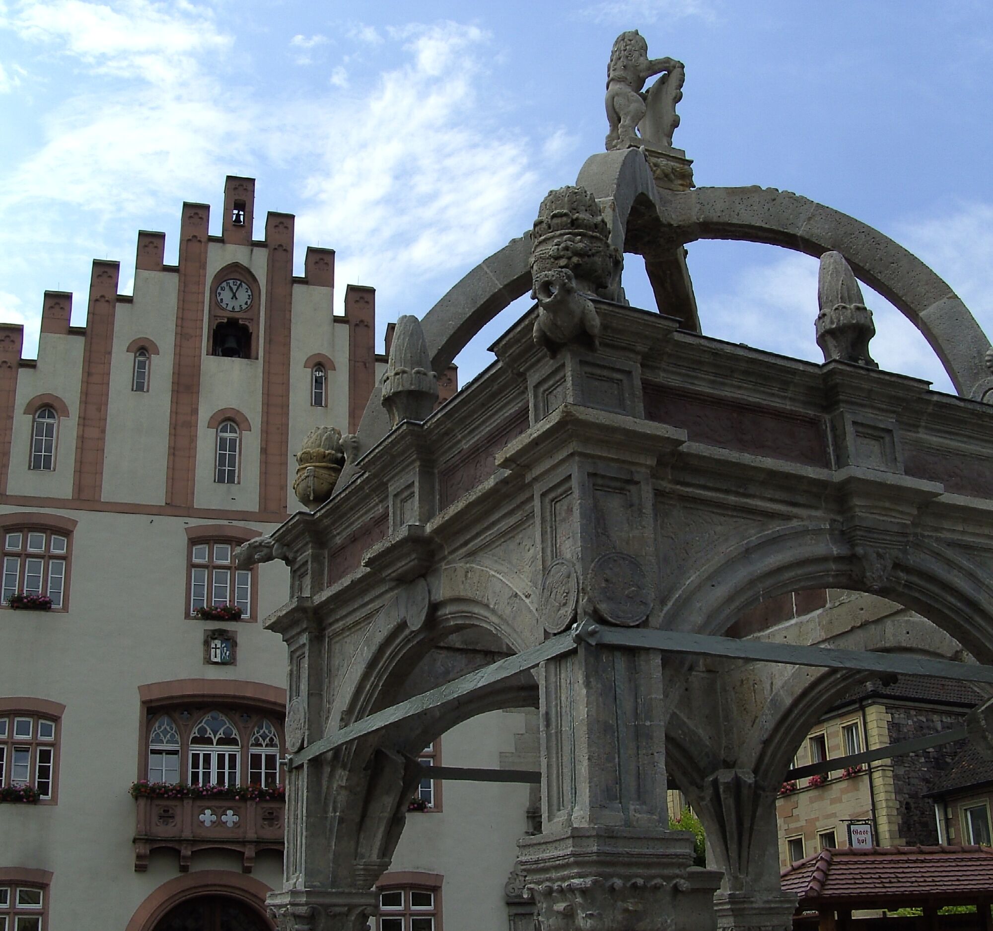
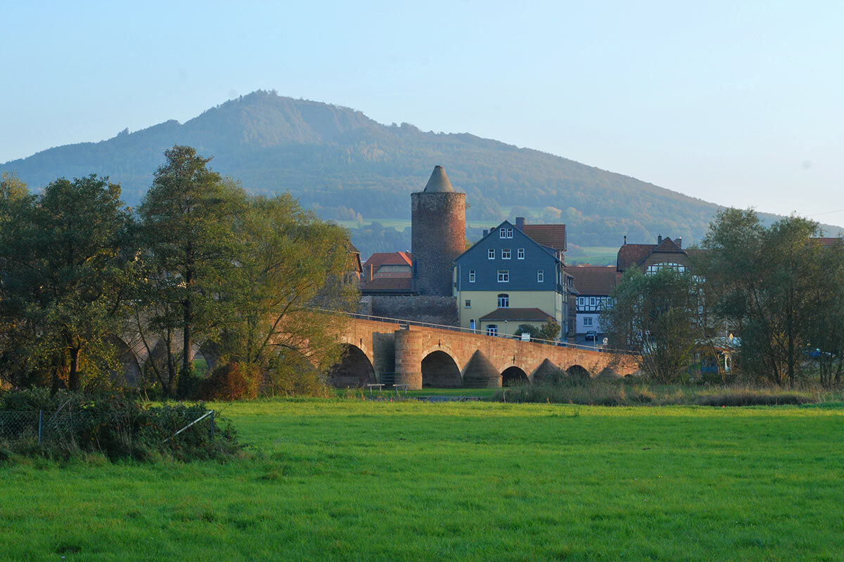
The cycling stage, which is under the sign of the royal number 3, takes place throughout the year and starts at the tourist information at the market in Hammelburg, the oldest wine town in Bavaria. It...
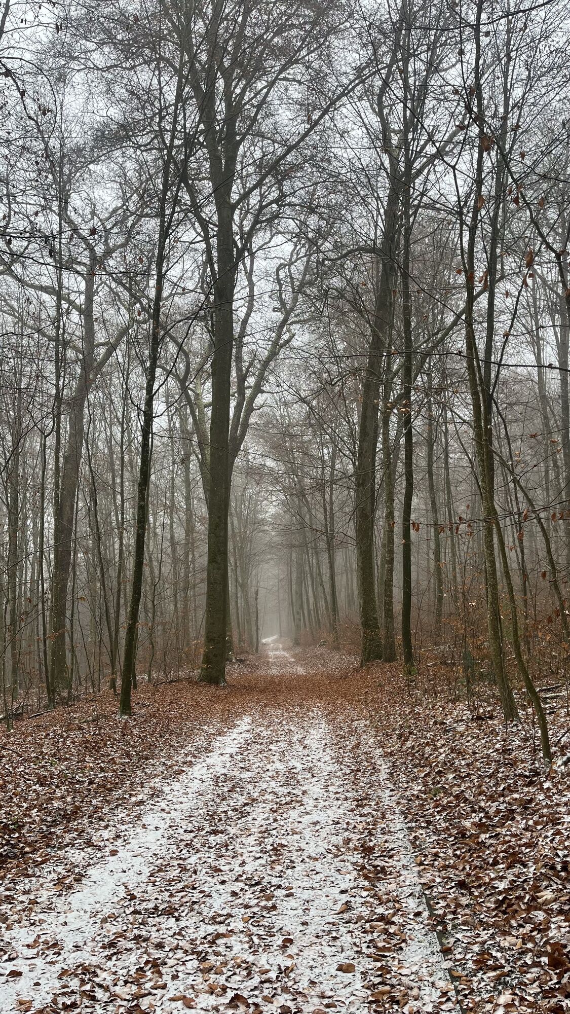
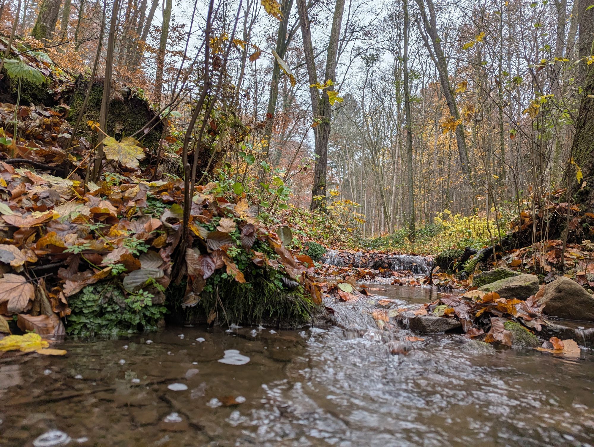
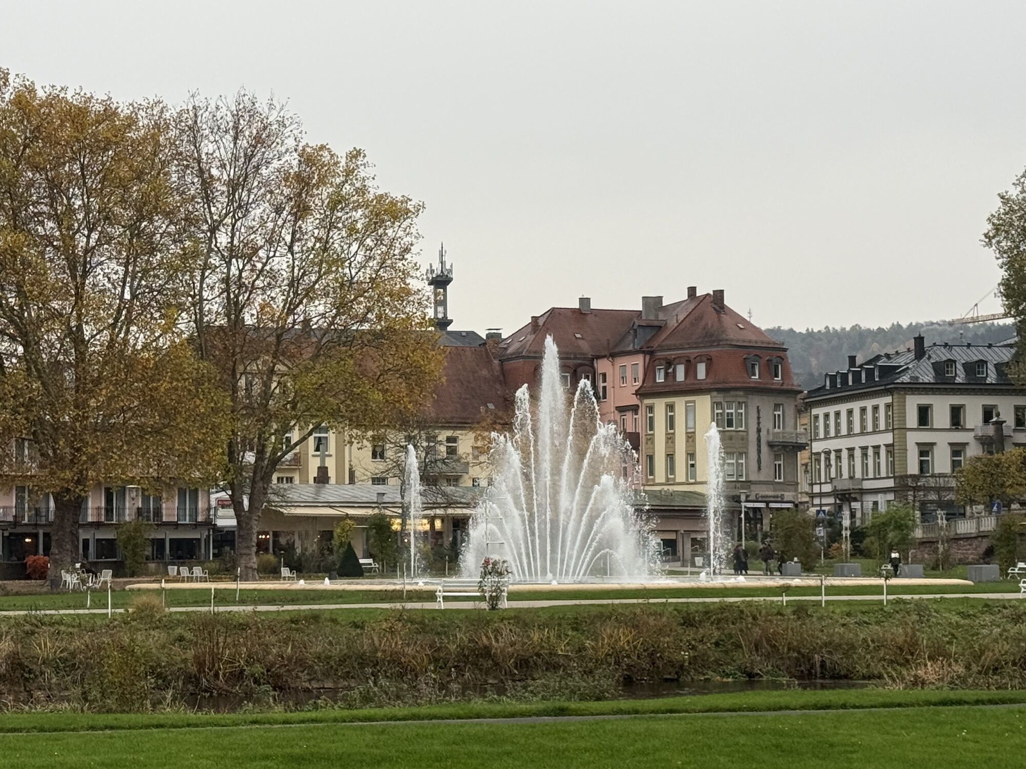
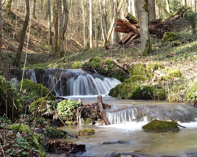
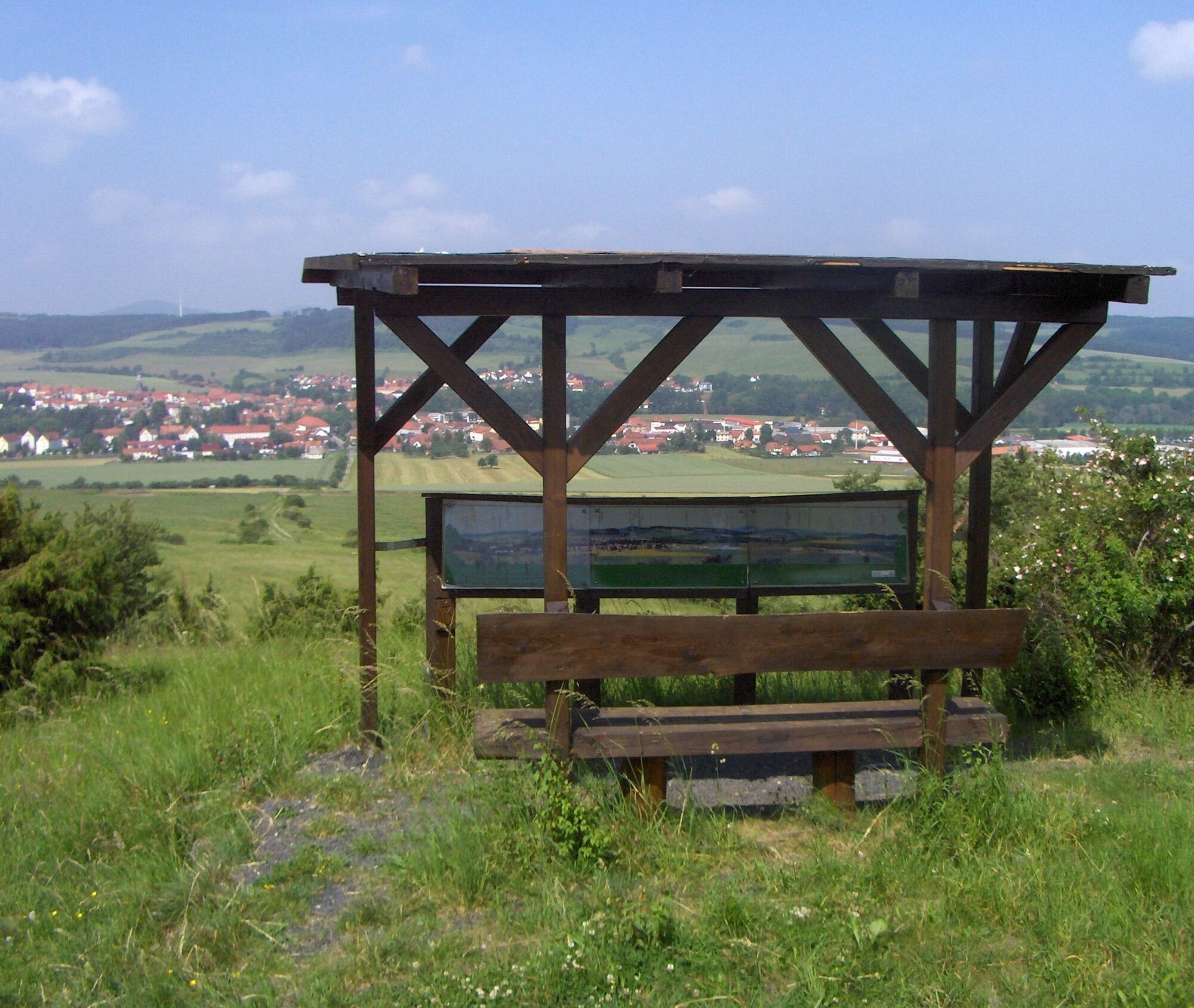
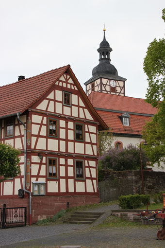
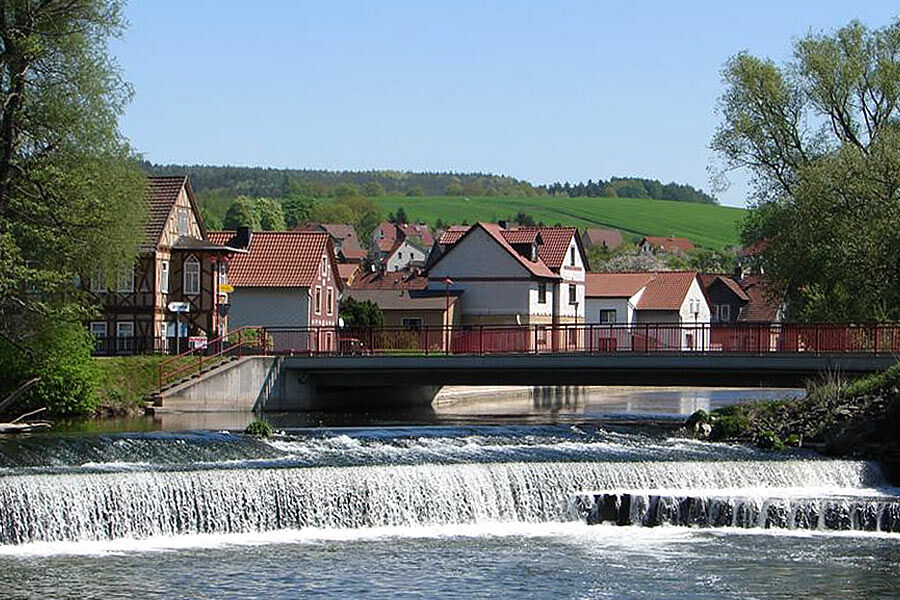
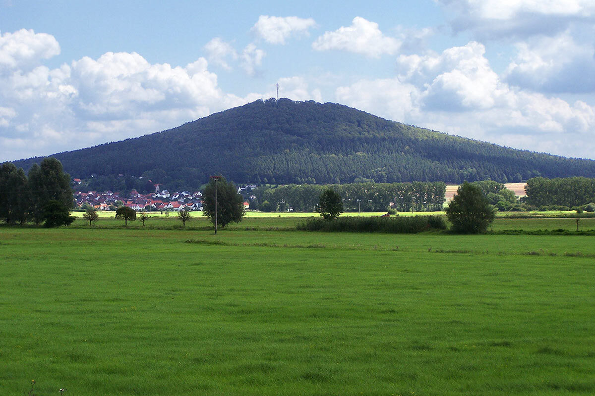
The cycling stage, which is under the sign of the royal number 3, takes place throughout the year and starts at the tourist information at the market in Hammelburg, the oldest wine town in Bavaria. It continues over the Bavarian renowned spas Bad Kissingen, Bad Bocklet Bad Neustadt along the Franconian Saale, then uphill along the Brend via Schönau to Bischofsheim. From there, the ascent to the High Rhön begins via Oberelsbach through the Elstal with the "Long Rhön" and its unique high plateaus with moors; small-scale mountain pastures, bordered by hedgerows and primeval forests, where nature has been left to its own devices for many decades; ancient places with historic half-timbered buildings in the Henneberg and Franconian style; wide valleys through which small streams still flow today as they have for many hundreds of years.
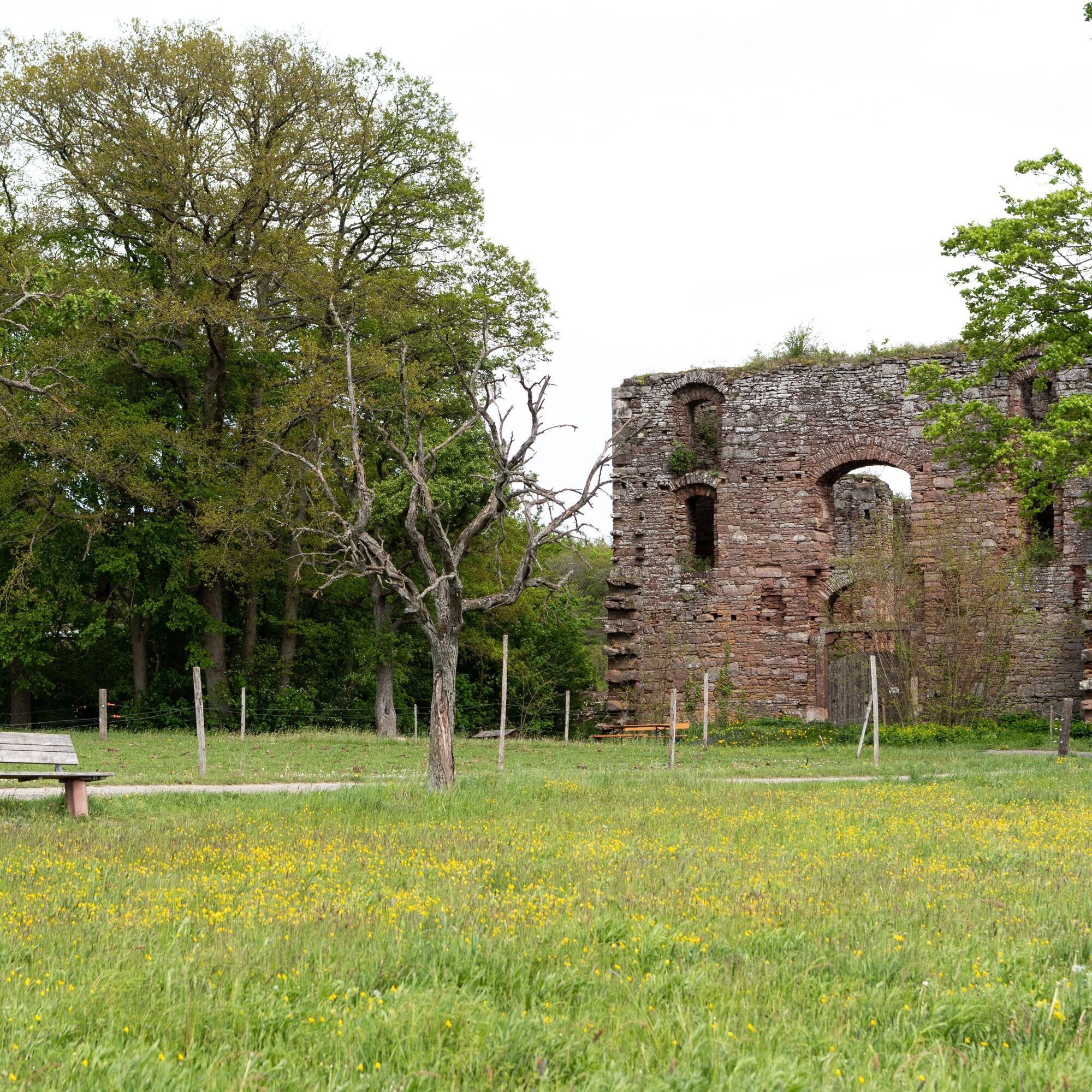
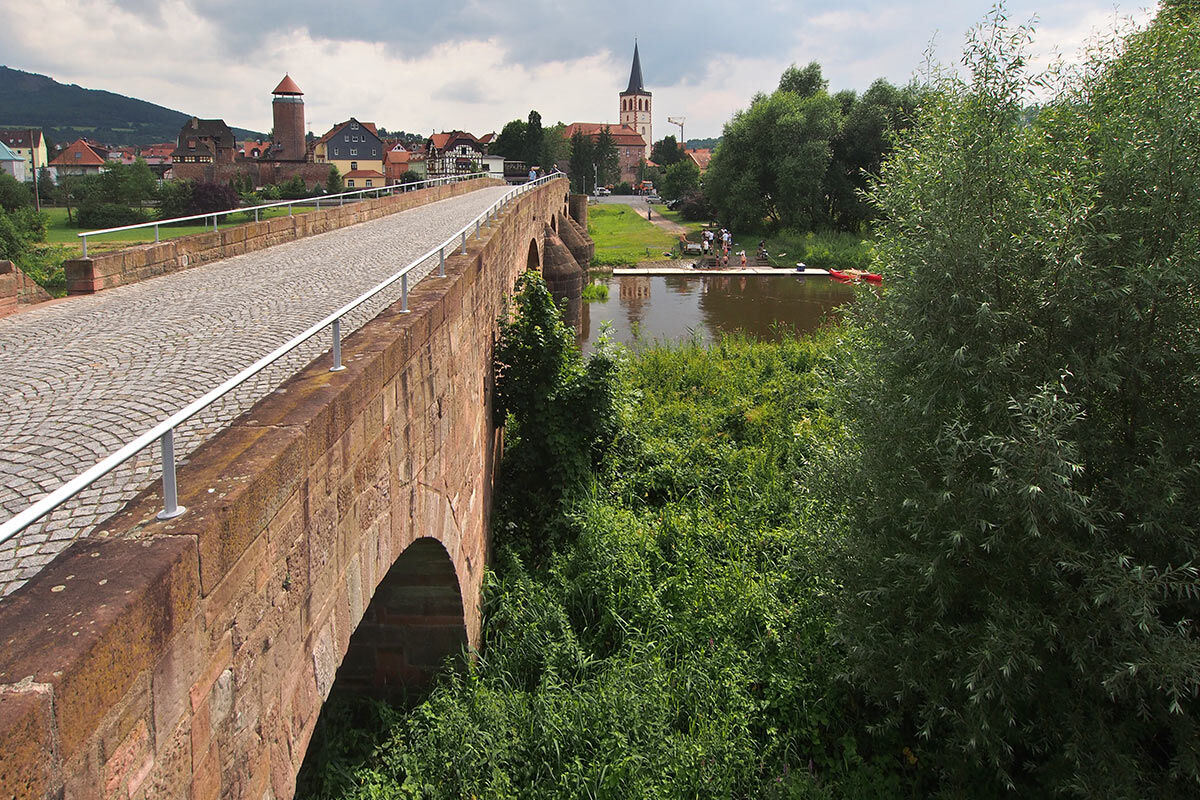
On the Rhön cycle path, you also encounter relics of the division during the most recent German history. Of its 173 kilometers, more than 160 kilometers run in the river valleys of Werra, Ulster, Brend and Franconian Saale.


Da
Bicycle helmets must be worn and special attention must be paid to compliance with the road traffic regulations.
Always pay attention to the traffic safety of your bike. The cycle path partly runs along public roads. Watch out for other road users and ride cautiously!
Especially in the hot summer months, always carry something to drink with you to prevent dehydration. A sunscreen with a high SPF is also recommended.
Pummpälzweg e.V.
World Champion City Gumpelstadt
Trift 4, 36433 Bad Salzungen
Tel.: +49 3695 620 580Fax: +49 3695 85 20 86
Email: wanderwegpummpaelzde Web: www.rennsteigquerung.de
Joy of life with Hammelburg as a wine town. Bad Salzungen, a 3-day lake festival. Spa atmosphere in Bad Kissingen, Bad Bocklet and Bad Neustadt.
Spletne kamere s turneje
-
Wasserkuppe
-
Wasserkuppe
-
Bad Kissingen
-
Bad Kissingen
-
Ehrenberg-Wüstensachsen
-
Wasserkuppe
-
Wasserkuppe
-
Hessen Hotelpark Hohenroda
-
Wasserkuppe
-
Wasserkuppe - Landefläche Weltensegler
-
Wasserkuppe - Flugplatz Eder
-
Papillon Flugcenter Wasserkuppe
-
Wasserkuppe - Peterchens Mondfahrt
-
Wasserkuppe Süd
-
Wasserkuppe - Radom
-
Kurpark Bad Kissingen
Pridobite vpogled
Vedno v živo na mestu z več kot 9.500 spletnimi kamerami. bergfex Kot uporabnik Pro si lahko zdaj ogledate ustrezne spletne kamere za številne izlete v aplikaciji izleti iz. Tako si lahko neposredno ogledate trenutne razmere.
Priljubljeni izleti v okolici
-
4.8
Kreuzberg (Rhön) - Kilianskopf - Klosterkirche Kreuzberg - Klosterschaenke
srednjaPohodništvo 13.5 km -
4.5
Rhön Rundweg 1 vom Schwarzen Moor
svetlobaPohodništvo 11.2 km -
4.5
FLADUNGEN | Schwarzes Moor und Eisgraben
svetlobaPohodništvo 13.5 km -
4.5
Extratour Guckaisee
srednjaPohodništvo 21.1 km -
5.0
Naturschönheiten der Rhön rund um die Wasserkuppe
težkoPohodništvo 33.0 km -
5.0
Oberelsbach - Ilmenberg - Heidelstein Schwabenhimmel - Naturspielplatz Schornhecke
srednjaGorski pohodništvo 16.3 km -
4.7
Obernhausen - Wasserkuppe - Lerchenküppel - Pferdskopf
težkoPohodništvo 10.7 km -
5.0
Himmeldunkberg und Brendquelle
srednjaPohodništvo 6.96 km -
5.0
Sehr schöne und anspruchsvolle tour am Kreuzberg
težkoPohodništvo 20.0 km -
Euro Velo Route 13 Iron Curtain Trail
težkoKolesarjenje na dolge razdalje 652.1 km

Pohodništvo in sledenje


Ne zamudite ponudb in navdiha za naslednje počitnice
Vaš e-poštni naslov je bil dodan na poštni seznam.





