





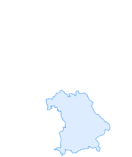

Long-distance cycle route - Lake Constance Königssee Cycle Route through the Blue Land
Stopnja težavnosti: 1
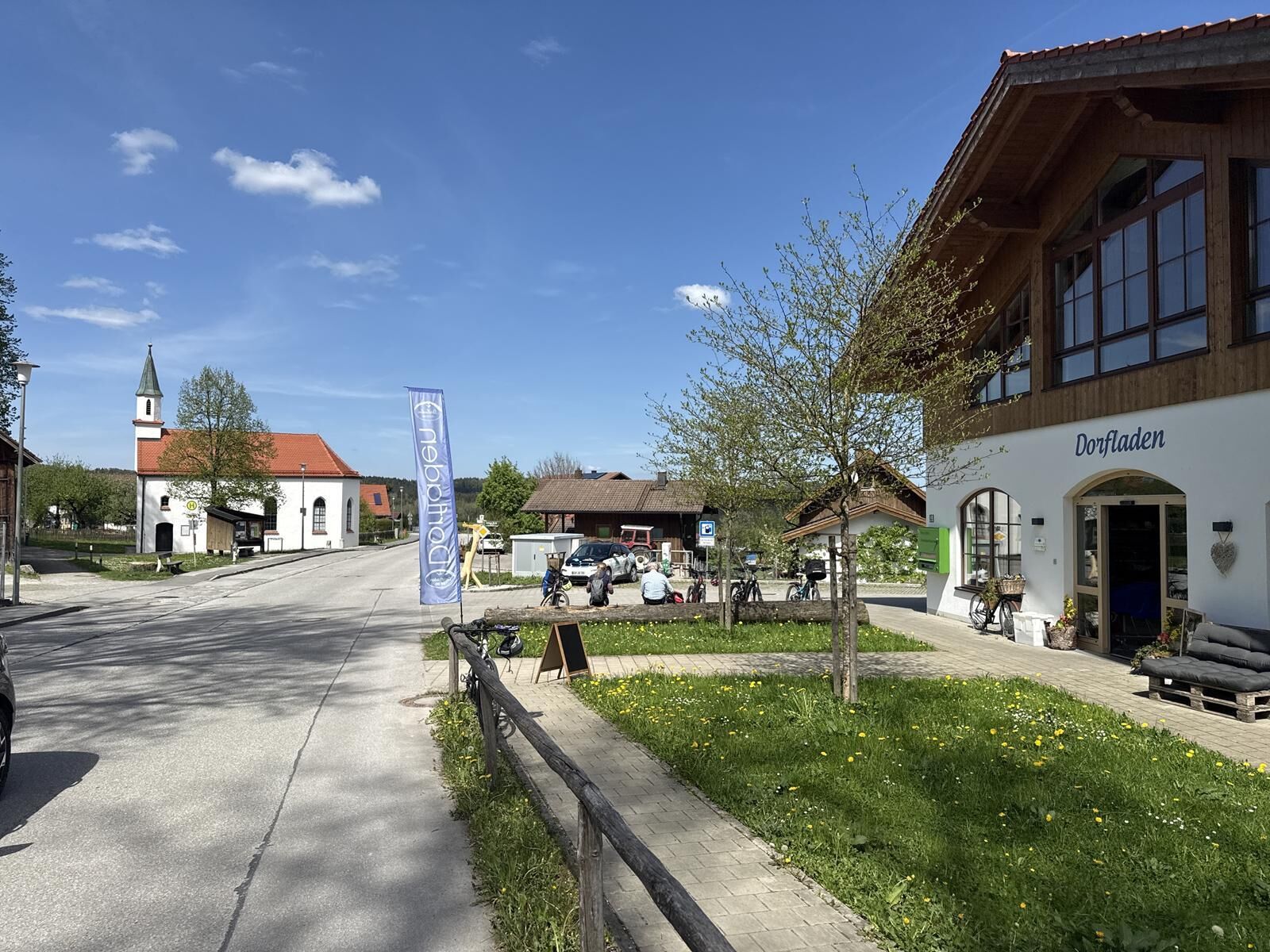
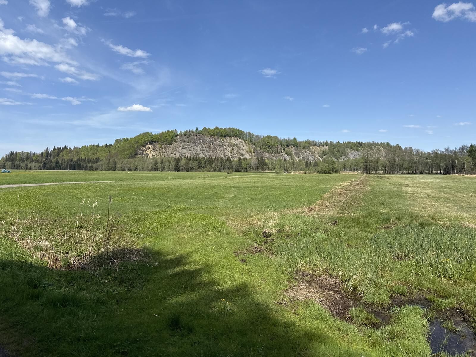
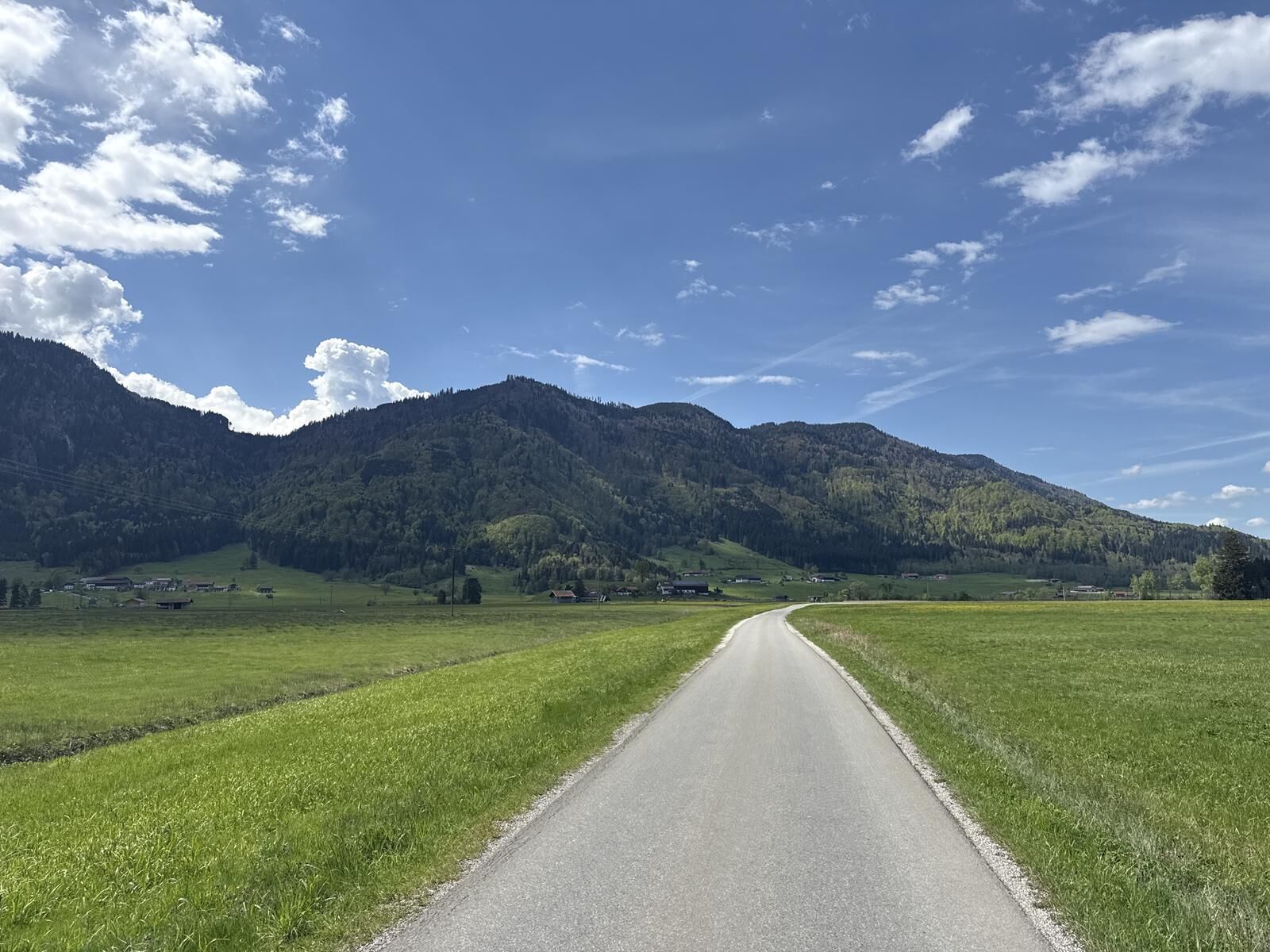
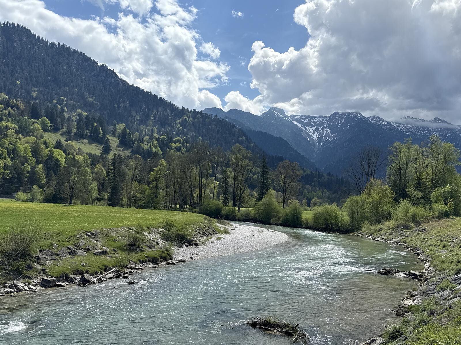
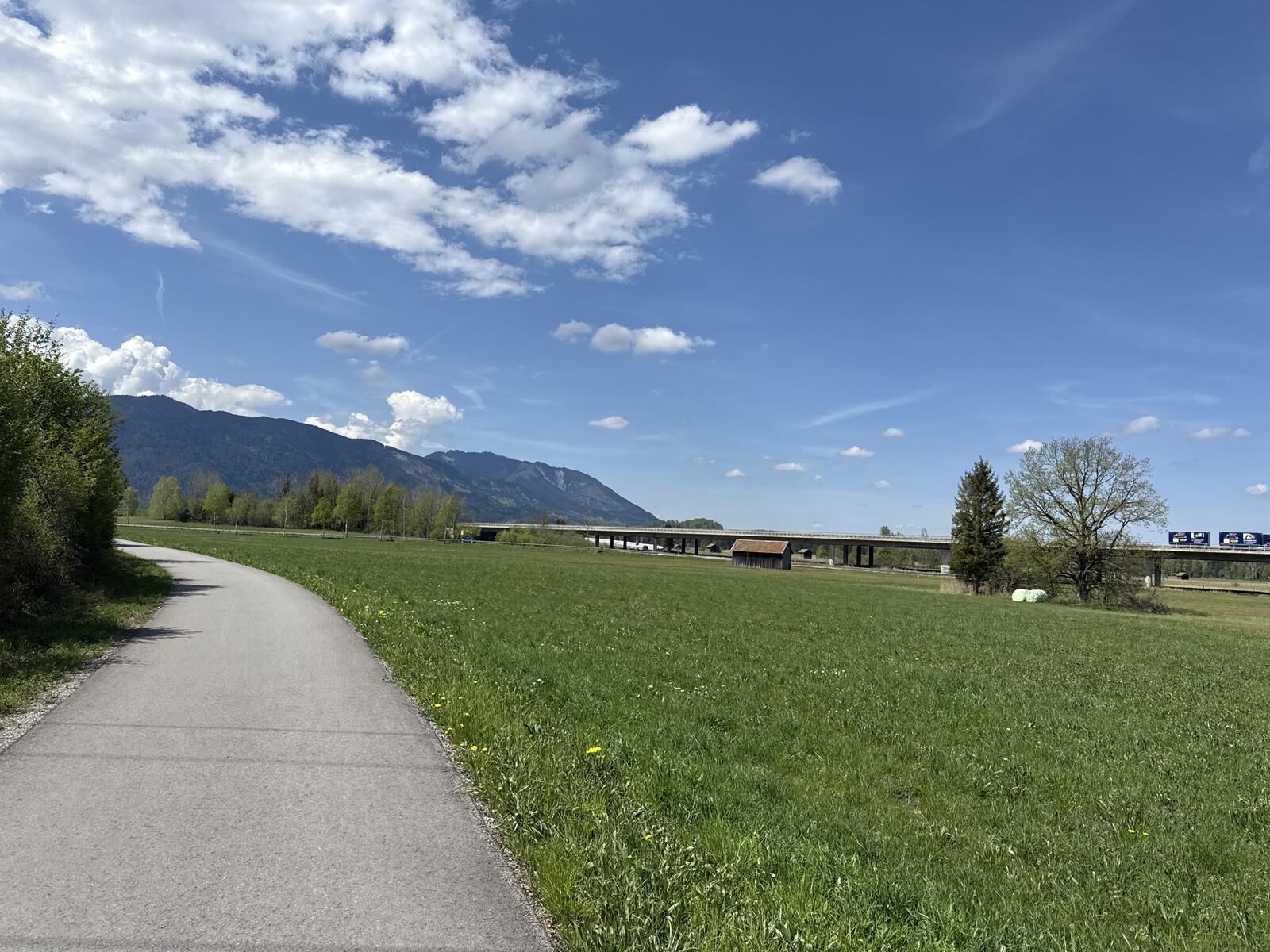

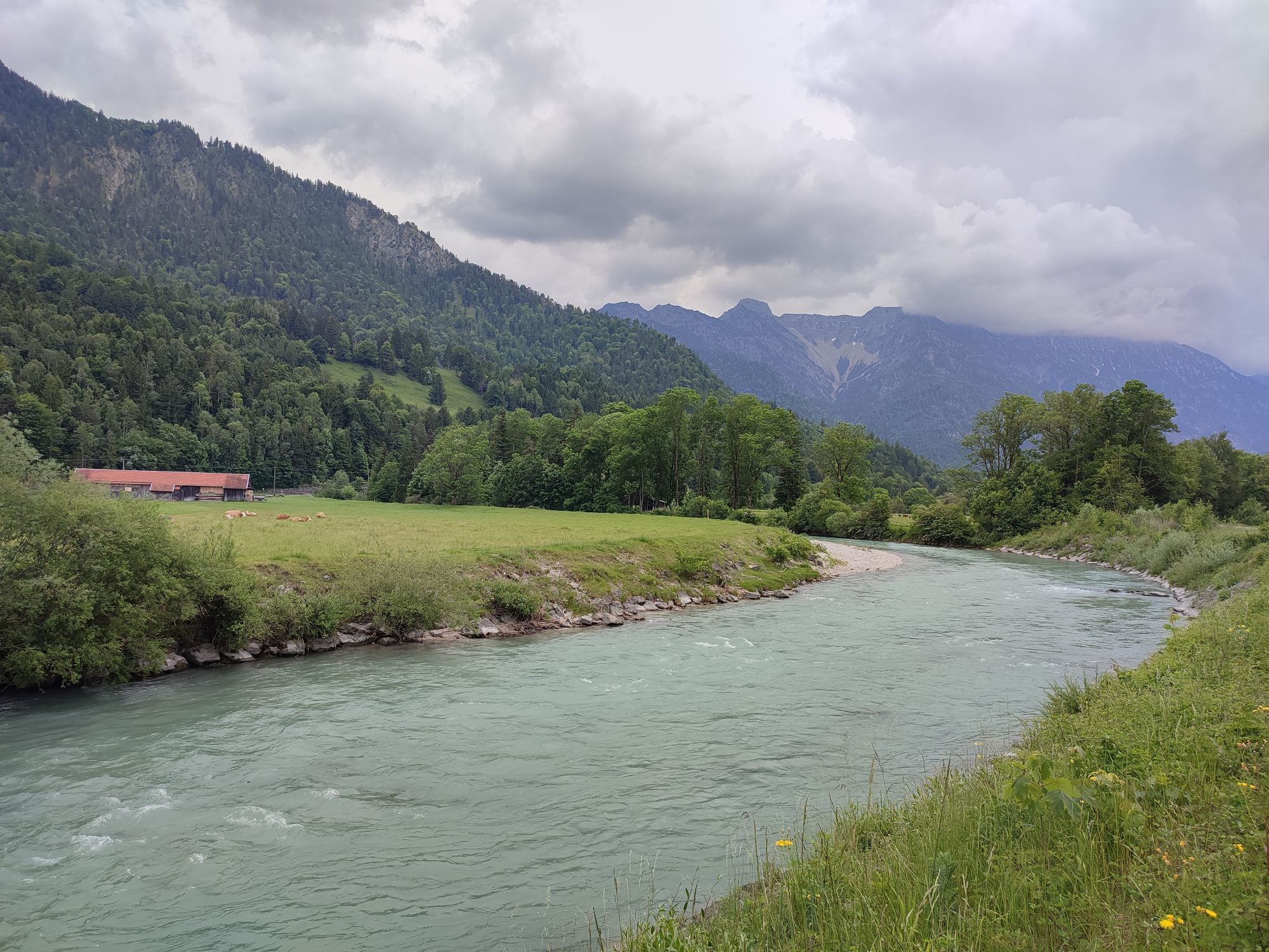

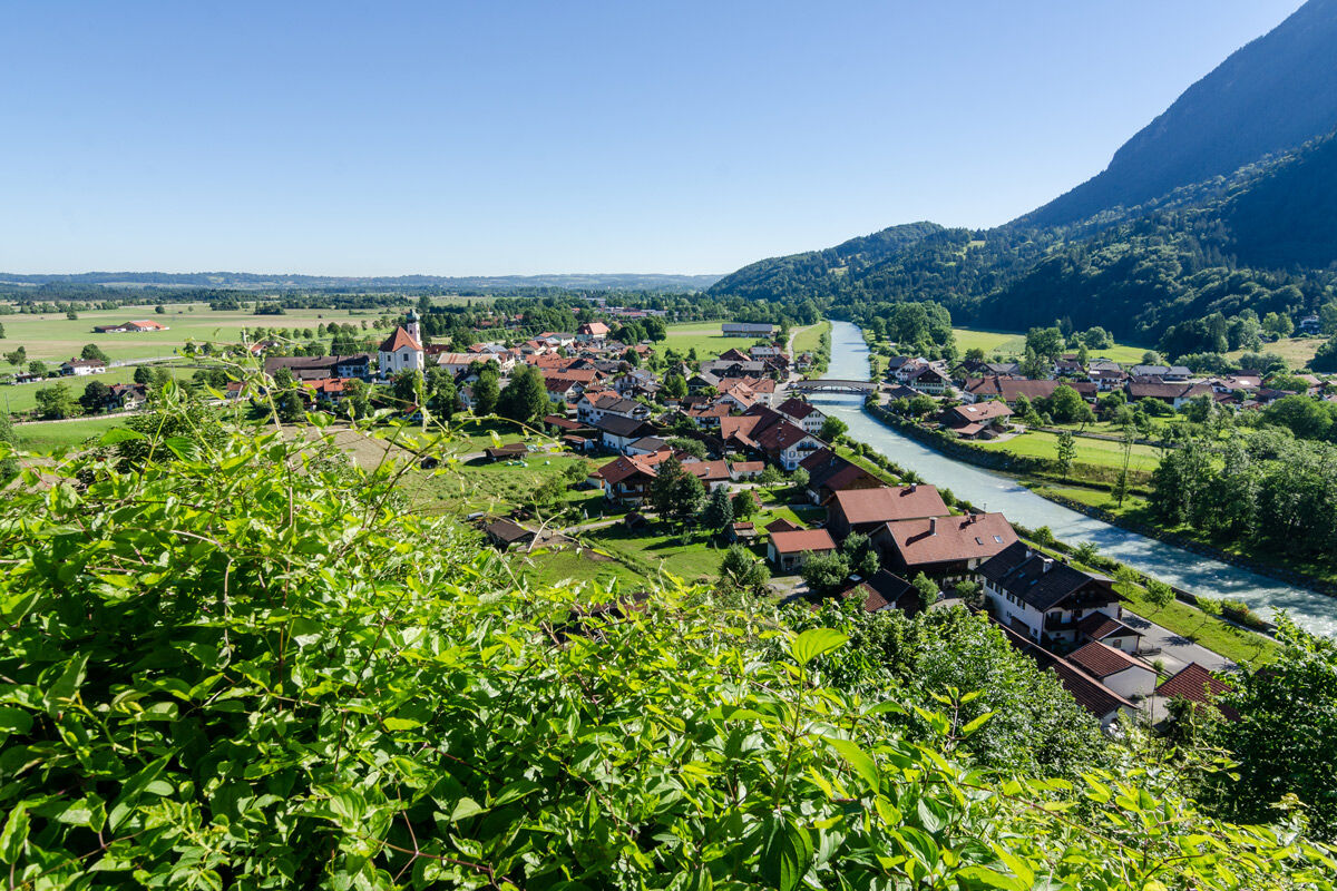

You start the route in Grafenaschau and follow the lightly trafficked road westwards through Schwaigen until shortly before Eschenlohe. Before crossing the federal road (B2), turn right and after a left curve enter the village of Eschenlohe. After the church, you ride onto Murnauer Straße, enter an industrial area, and finally reach the bank of the Loisach River. You follow the river and after a while turn right into Partenkirchener Straße. Soon you arrive in Ohlstadt, where you have the opportunity to stroll through the original alleys, visit the Kaulbach Villa, have a coffee, or dine in one of the restaurants. You continue on the bike along Schwaigangerstraße. At the end of the village, turn right into Fieberkirchweg. Following this path takes you to the well-known Schwaiganger stud farm. From there, the well-developed cycle path leads to Großweil.
Da
In case of emergency, please contact the nearest rescue control center. Regardless of your location, you can reach it nationwide in Germany at the phone number 112.
The hiking and cycling paths we describe primarily serve forest management; their use is at your own risk (§ 14 para. 1 BWaldG).
From Munich via the A95 and St2062 and from Garmisch-Partenkirchen via the B2 and St2062
Bus stop: Grafenaschau
Bus line:
9621 Murnau - Seehausen - Grafenaschau
Guests of the "Blue Land" region and the "Ammergau Alps" use a variety of bus lines and train lines from Murnau to Oberammergau as well as from Uffing to Garmisch-Partenkirchen free of charge with the electronic guest card or the KönigsCard. Further information is available at: https://www.dasblaueland.de/Service/mobil
Parking lot at the Grafenaschau sports field
1
Spletne kamere s turneje
Pridobite vpogled
Vedno v živo na mestu z več kot 9.500 spletnimi kamerami. bergfex Kot uporabnik Pro si lahko zdaj ogledate ustrezne spletne kamere za številne izlete v aplikaciji izleti iz. Tako si lahko neposredno ogledate trenutne razmere.
Priljubljeni izleti v okolici
-
4.4
Kuhfluchtwasserfälle
srednjaPohodništvo 1.32 km -
4.8
Mountain route - Laber via Soilasee
svetlobaPohodništvo 11.8 km -
4.8
Schafkopf
svetlobaPohodništvo 10.2 km -
4.8
Jochberg
svetlobaPohodništvo 7.56 km -
4.8
Rundweg Heimgarten und Herzogenstand
srednjaPohodništvo 15.0 km -
4.2
Mountain tour - Kofel
srednjaPohodništvo 11.3 km -
4.6
Murnauer Moos
svetlobaPohodništvo 11.5 km -
4.6
Laber - Ettaler Mandl
svetlobaPohodništvo 9.10 km -
4.6
Mountain route - Heimgarten via Käseralm
srednjaPohodništvo 10.8 km -
4.5
Wank / Garmisch-Partenkirchen
srednjaPohodništvo 11.8 km
Pohodništvo in sledenje


Ne zamudite ponudb in navdiha za naslednje počitnice
Vaš e-poštni naslov je bil dodan na poštni seznam.





