


Tour into the Sankenbach Valley
Stopnja težavnosti: 3
Fotografije naših uporabnikov

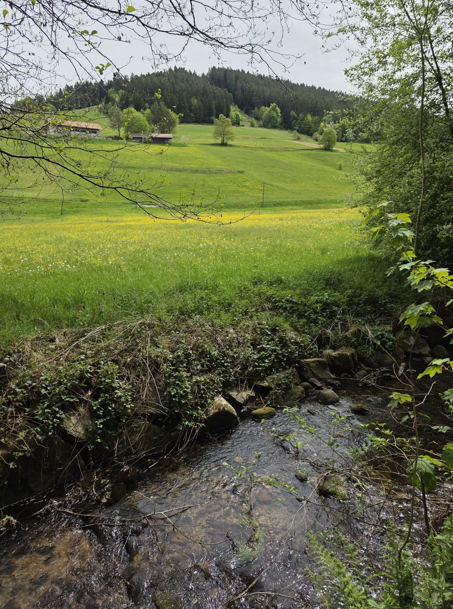
Start at the hiking information centre and follow the hiking trail signs to the Sankenbach valley. Stay on the Sankenbachstrasse until the Kienbachstrasse branches off to the right and takes you into the...
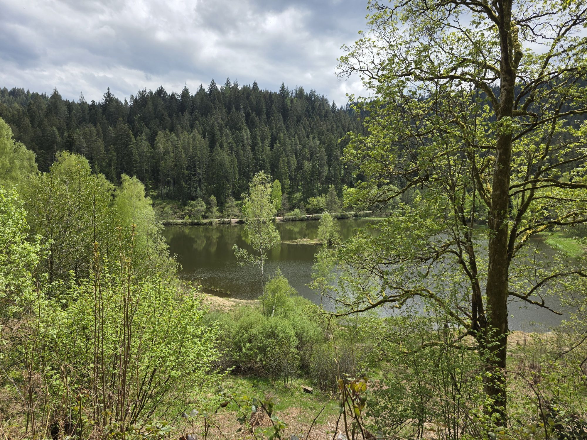
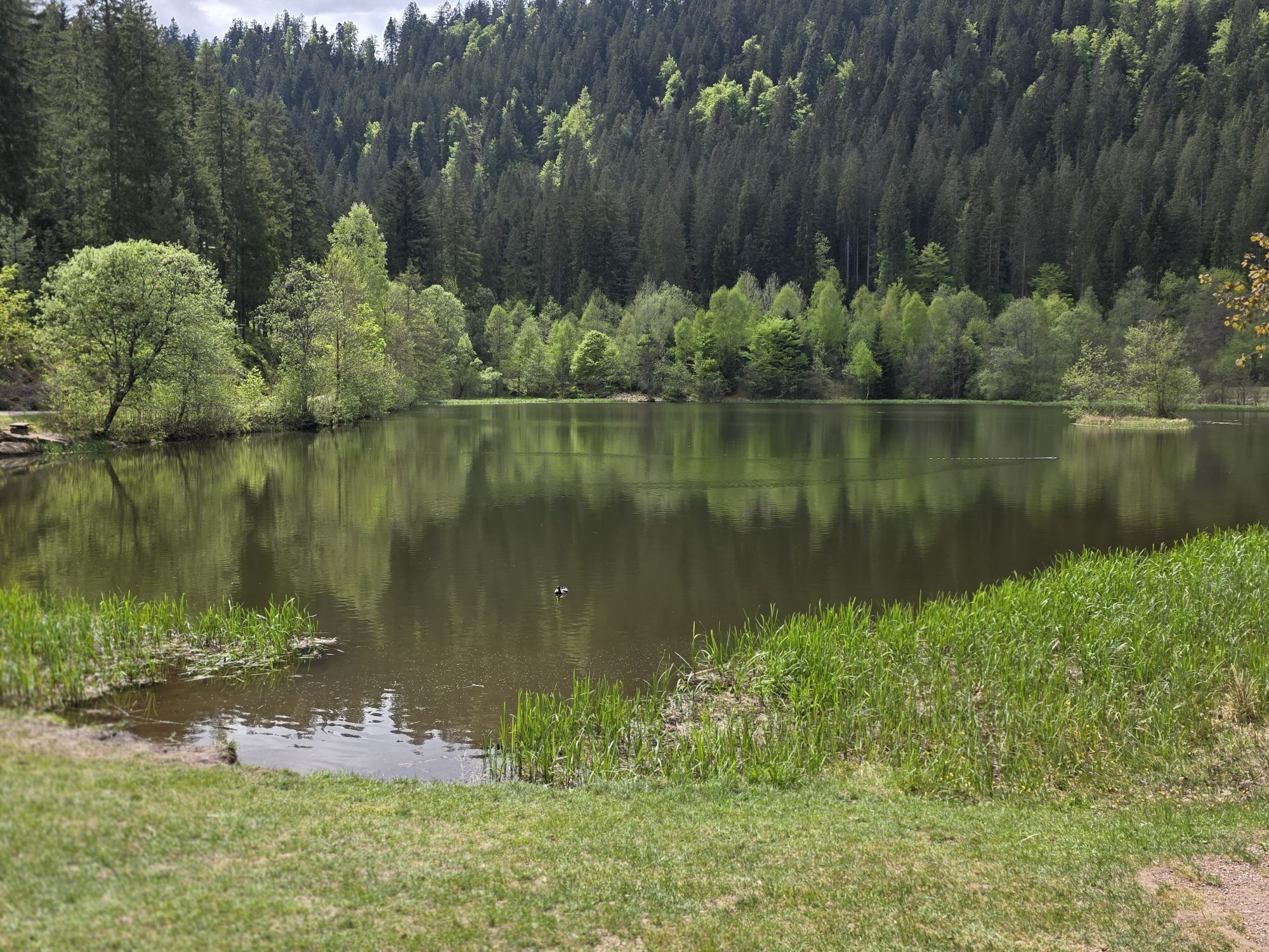
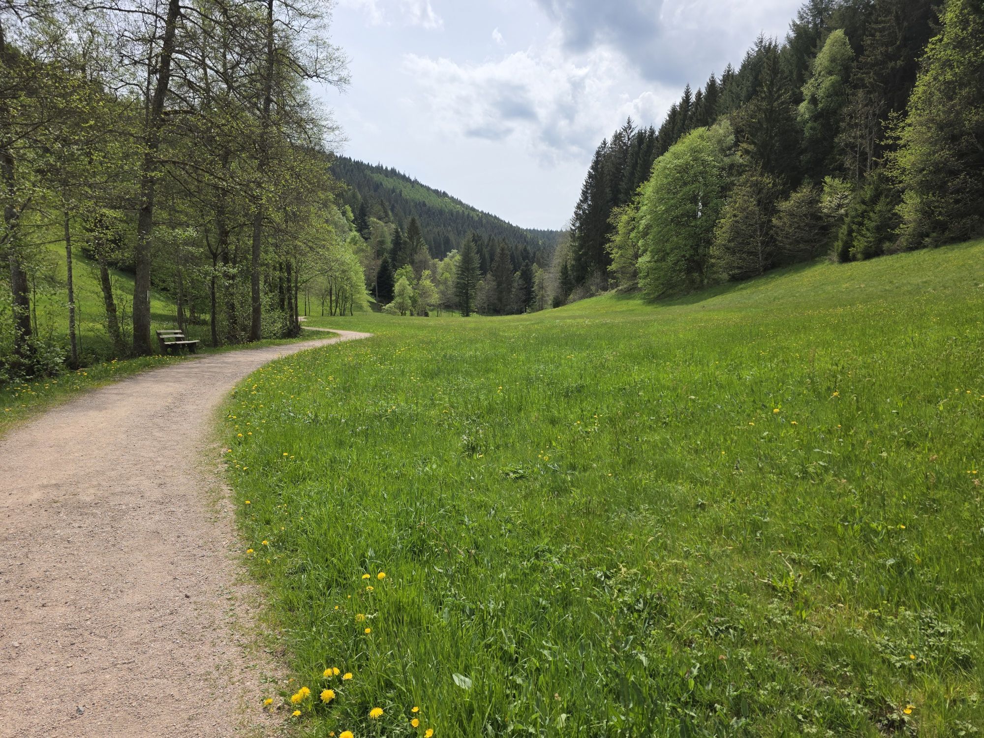
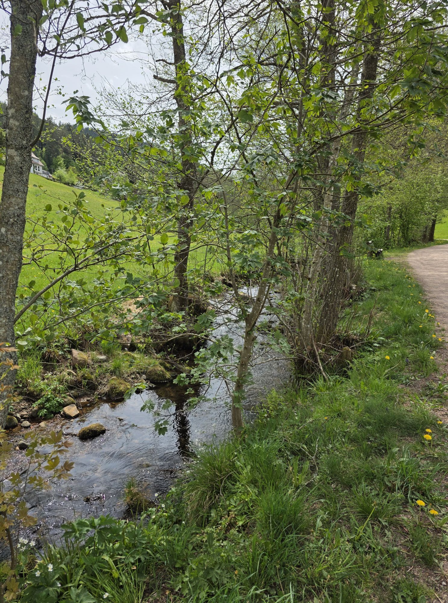
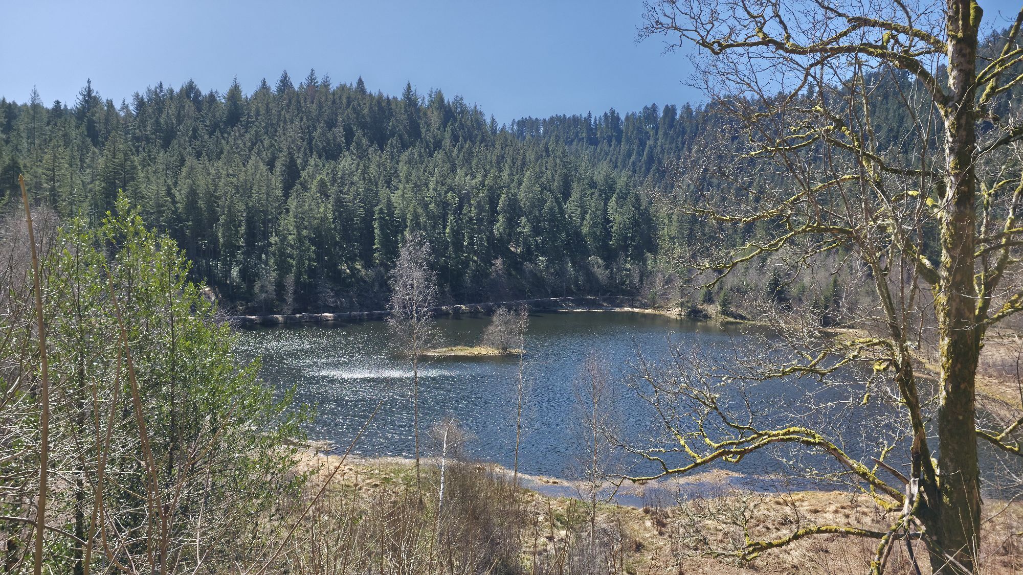
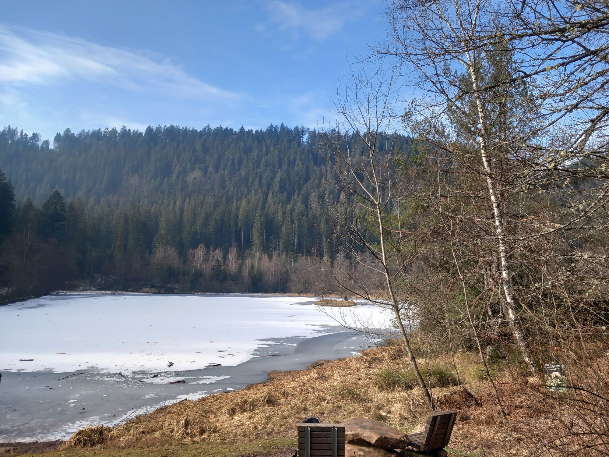
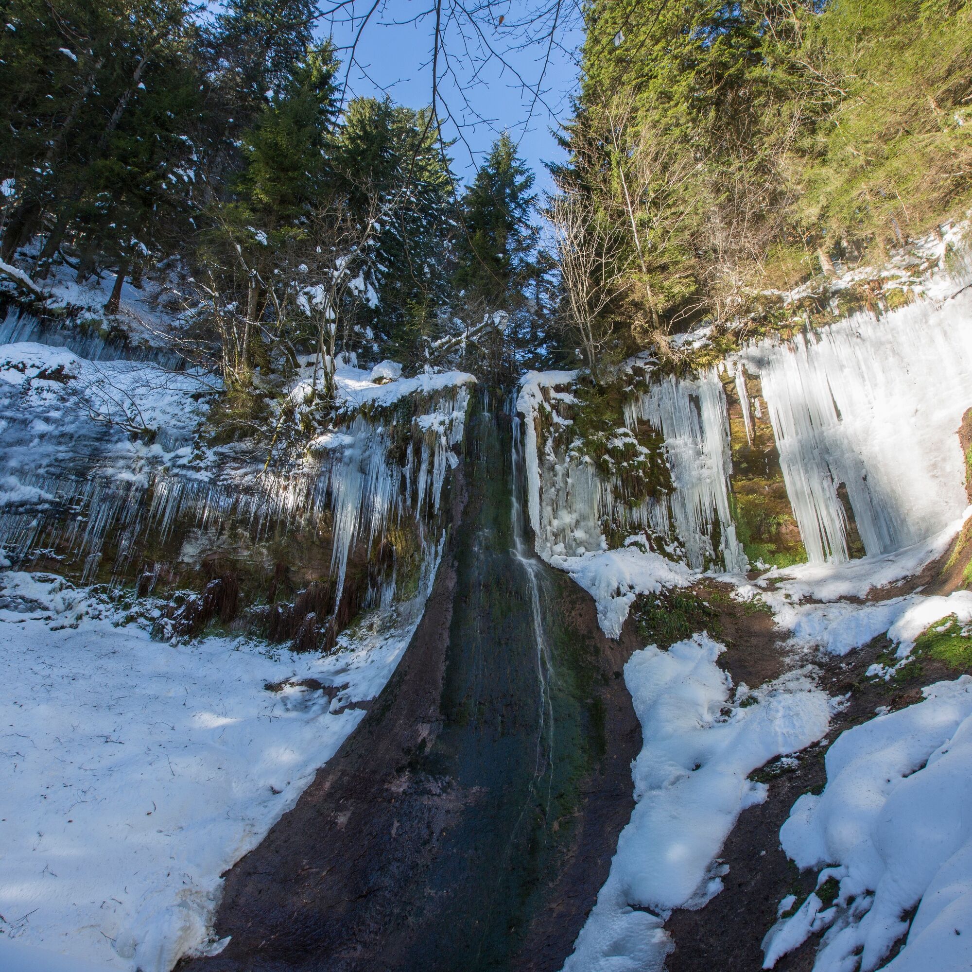
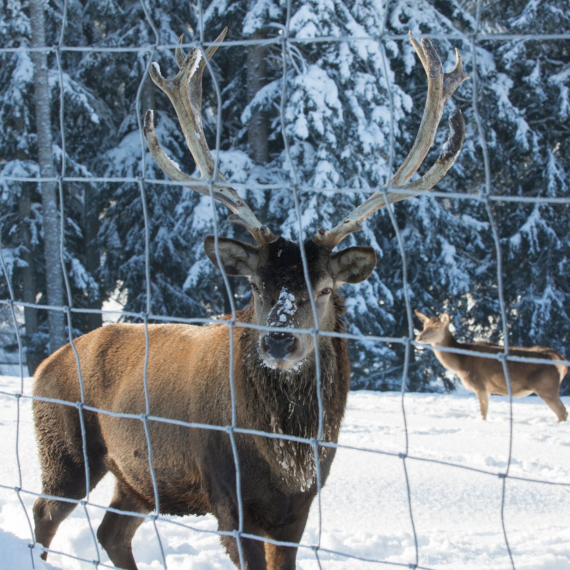
Start at the hiking information centre and follow the hiking trail signs to the Sankenbach valley. Stay on the Sankenbachstrasse until the Kienbachstrasse branches off to the right and takes you into the small side valley. Initially along a narrow watercourse, the cleared path makes a sharp right turn. At the next fork, keep left and from there follow the signs for the winter hiking trail for 3.5 km to the Sankenbachsee lake. The lake, which lies deep in the Karmulde, is circumnavigated halfway. The paved winter hiking trail goes slightly uphill in a wide curve out of the basin to the Rosskopf Hut. Shortly after the barrier, turn left at the crossroads. After about 2 kilometres you will reach the car park at the red deer enclosure. Halfway along the trail, you have the option of taking a detour to the Glasmännlehütte restaurant. Otherwise, follow the Sankenbachstrasse out of the valley and after 2 kilometres you will reach your starting point. Note: There are no more winter hiking signs from the Rotwildgehege car park onwards.

Da
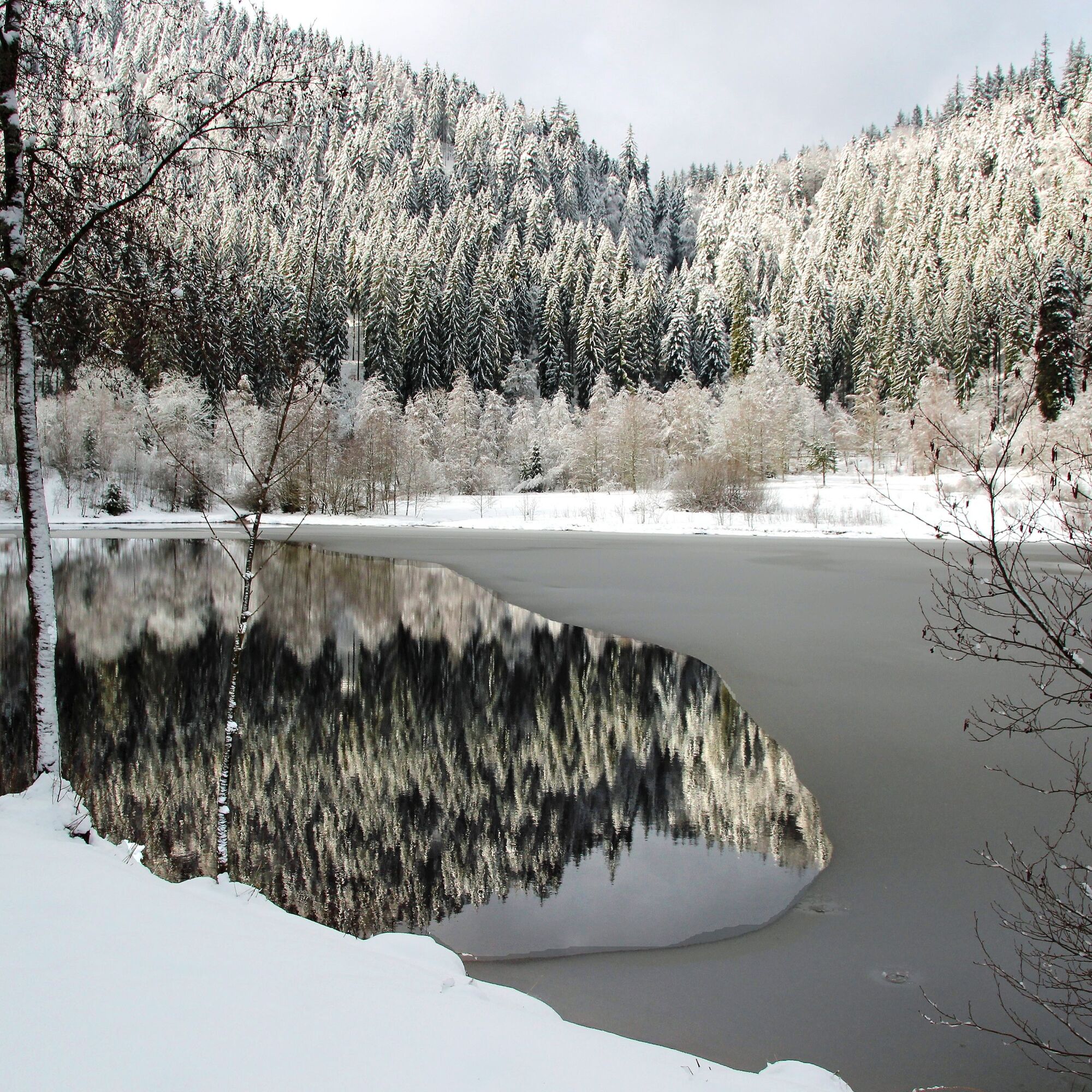
There may be a danger of slipping and ice on all cleared forest paths.
The Hiking Information Centre offers ice claws for hire. More information at www.baiersbronn.de/verleih
.
The winter hiking trails are cleared when the snow depth is 10 cm or more.
Please check the current trail closures or the Baiersbronn Hiking Information Centre in advance to see if the trail is clear. Tel.: +49 7442 8414-66.
Winter is a time of rest for nature and animals. For carefree winter sports enjoyment, we therefore particularly ask you to support us by adhering to the rules of conduct, staying on the trails and avoiding noise.
S-Bahn and Bus Stop Bahnhof Baiersbronn
.P&R Car park at the Baiersbronn S-Bahn stop
.
3
If snow conditions permit, there is a nice alternative by choosing the left-hand path: you can walk completely around the lake and follow the hiking trail along the Sankenbach stream at the outlet. This path is not cleared, there is usually a small trail.
Priljubljeni izleti v okolici
-
4.7
Kniebiser Heimatpfad - Wandern mit Genuss
svetlobaPohodništvo 9.07 km -
4.0
Sankenbachwasserfälle und Glasmännlehütte am Stöckerkopf
srednjaPohodništvo 12.8 km -
5.0
Naturgewalten-Tour
Pohodništvo 15.6 km -
5.0
Bannwald-Tour
Pohodništvo 13.3 km -
5.0
Kniebis-Sankenbachwasserfälle-Sankenbachsee
srednjaPohodništvo 7.98 km -
4.4
Bad Rippoldsau - Cafe & Restaurant Zum Schlüssel - Klösterle - Burgbachwasserfall
srednjaPohodništvo 11.2 km -
4.7
Bad Peterstal-Griesbach - Himmelssteig für "Höhenverliebte"
težkoPohodništvo 10.3 km -
4.0
Eiszeit-Tour
Pohodništvo 11.7 km -
Über die Alexanderschanze zum Ellbachsee
Pohodništvo 11.1 km -
2.6
Genießerpfad zum Panoramastüble
Pohodništvo 10.6 km
Pohodništvo in sledenje


Ne zamudite ponudb in navdiha za naslednje počitnice
Vaš e-poštni naslov je bil dodan na poštni seznam.