


Kluftern Panorama Trail
From the open valley in which Kluftern is situated, the path leads to the first hills of the hilly country formed by the last Ice Age with its characteristic, long drumlins. The constant alternation between...
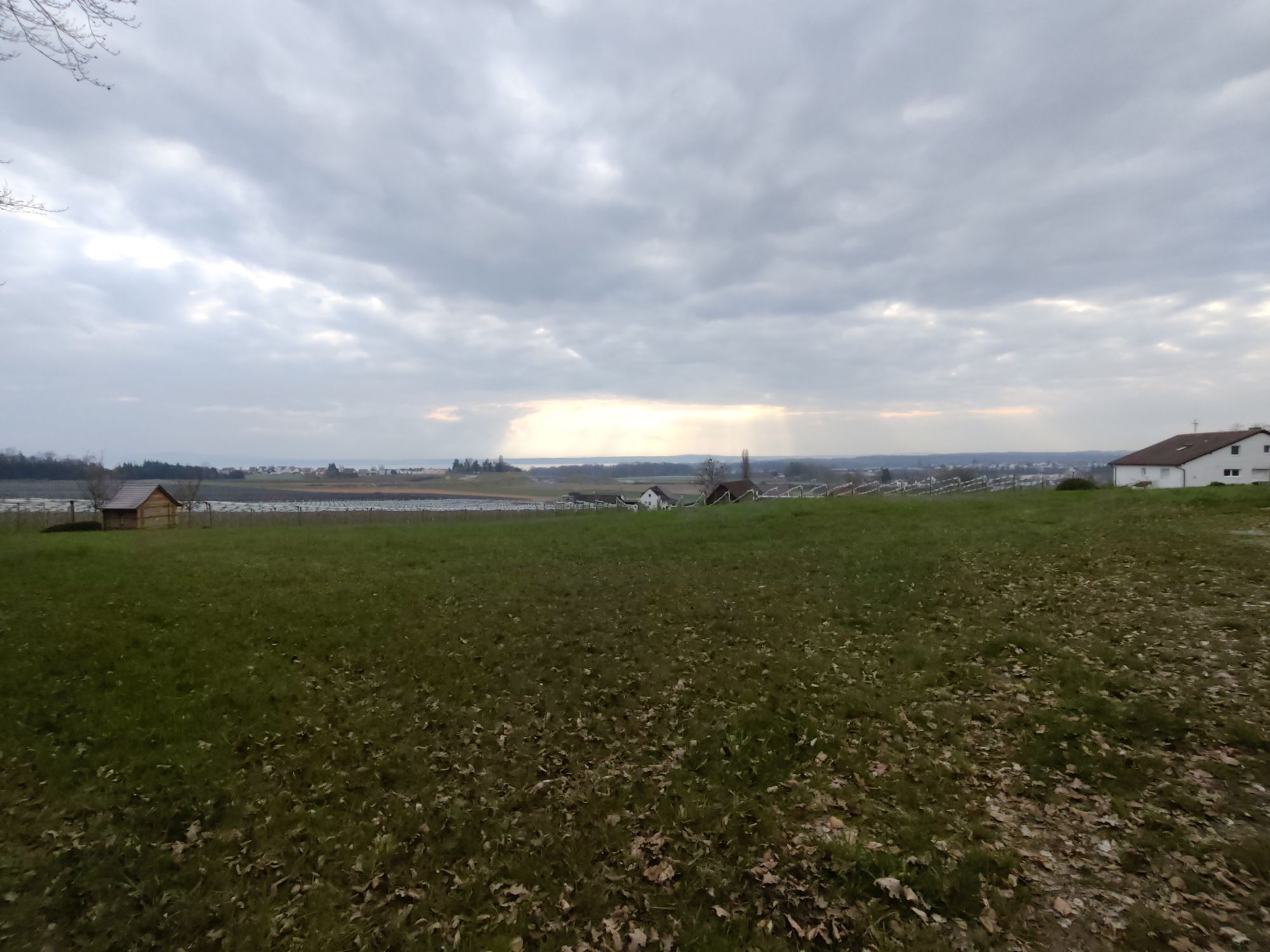
From the open valley in which Kluftern is situated, the path leads to the first hills of the hilly country formed by the last Ice Age with its characteristic, long drumlins. The constant alternation between the predominantly wooded hilltops, seemingly randomly distributed in the terrain, and the friendly depressions in between, gives an extraordinary variety of images. Despite the only slight differences in altitude - there are only 50 metres between the lowest and highest points of the hike - there are enchanting distant views to the west of the Linzgau, the lake and the Swiss Alps.
Route: Kluftern town centre - Lettenhof - north and east around Efrizweiler to Riedern - Eichenmühle - Kluftern
Alternative starting point: Kluftern railway station
In and around Kluftern there are two other signposted themed trails in addition to the Panorama Trail: the local circular trail with its art stations and the Planet Trail.
Book recommendation:
Friedrichshafen Hiking Book -Wanderungen und Spaziergängen in Friedrichshafen und Umgebung
Autor: Rainer Barth
Publisher: Lorenz Senn GmbH & Co. KG
ISBN: 978-3-88812-246-0
Priljubljeni izleti v okolici
- 4.8
Bodensee LandGänge "Gehrenberg GuckinsLand"
srednjaPohodništvo 15 km - 3.2
Bodenseeradweg
Kolesarjenje 210.8 km - 2.0
Bodensee LandGänge "Bergtour Höchsten"
težkoPohodništvo 16.3 km - 4.7
Meersburg - Rebgut Haltnau - Schlosskirche - Kapelle "Zum Frieden"
srednjaPohodništvo 11.3 km - 5.0
Bodensee LandGänge "Bermatinger Waldwiesen"
svetlobaPohodništvo 9.20 km - 4.0
Wanderung Rotachweg
svetlobaPohodništvo 6.66 km Wanderung rund um Bermatingen und Ahausen
svetlobaPohodništvo 10.3 km- 5.0
Planetenweg Kluftern
svetlobaPohodništvo 5.61 km - 5.0
Runde durch Wald und Flur
svetlobaPohodništvo 7.32 km - 4.0
Hagnauer und Immenstaader Obst- und Weinwanderweg
svetlobaPohodništvo 16.2 km
Pohodništvo in sledenje


Ne zamudite ponudb in navdiha za naslednje počitnice
Vaš e-poštni naslov je bil dodan na poštni seznam.