


Around Flöhberg
Starting at the striking "Spitzen Turm", cross the main street and enter the romantic Tauber promenade. At Wertheim Town Hall, you pass through the magnificent rose garden with some preserved ancient vegetation...
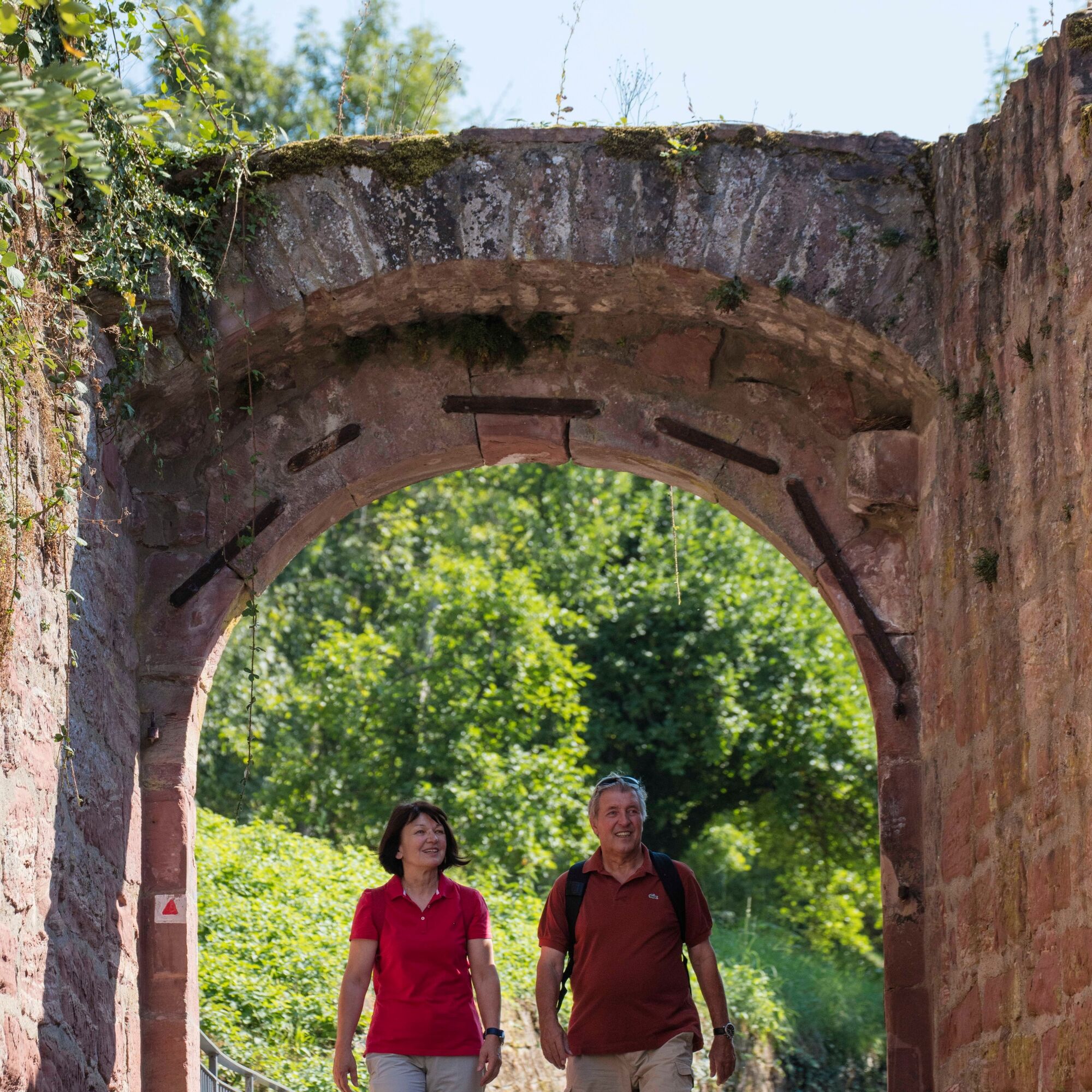
Starting at the striking "Spitzen Turm", cross the main street and enter the romantic Tauber promenade. At Wertheim Town Hall, you pass through the magnificent rose garden with some preserved ancient vegetation (Ginkgo tree, pyramid oak). The path now leads you out of town with a brief steep ascent. Then you reach the first meadow and forest paths. A look back rewards you with a great view of Wertheim Castle.
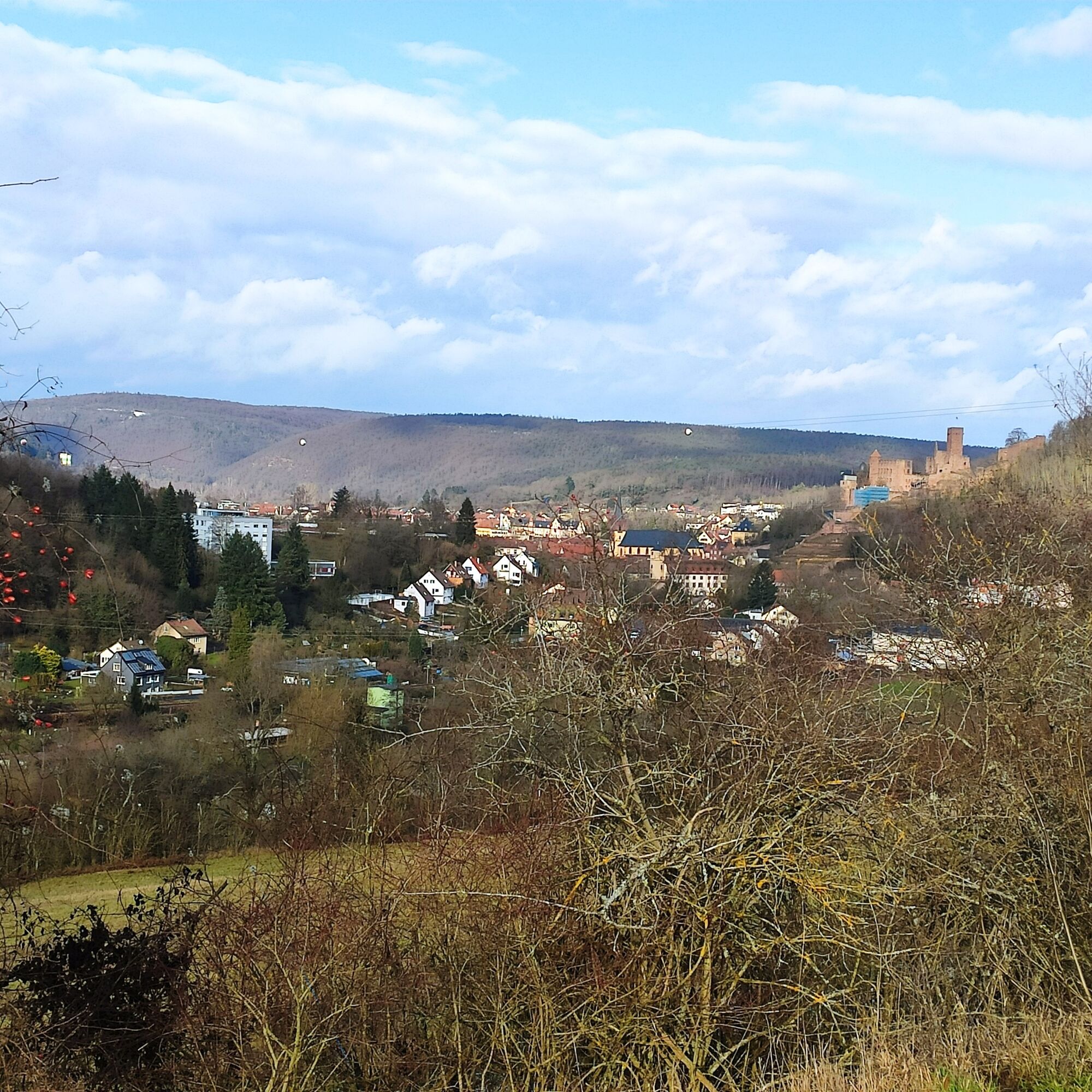
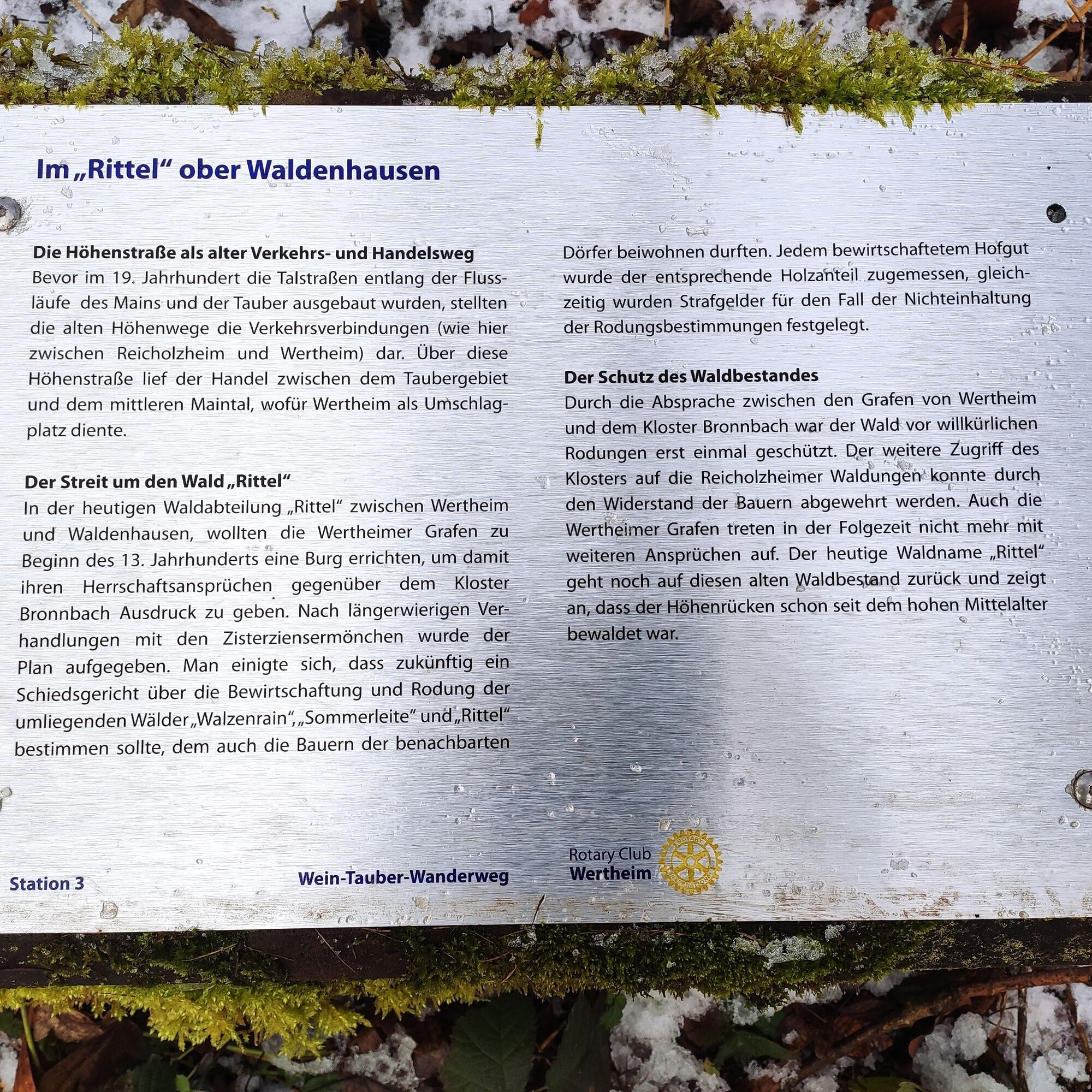
Continue through former vineyards with several benches inviting you to rest and enjoy the view of Waldenhausen with its fortified church from the 12th century.
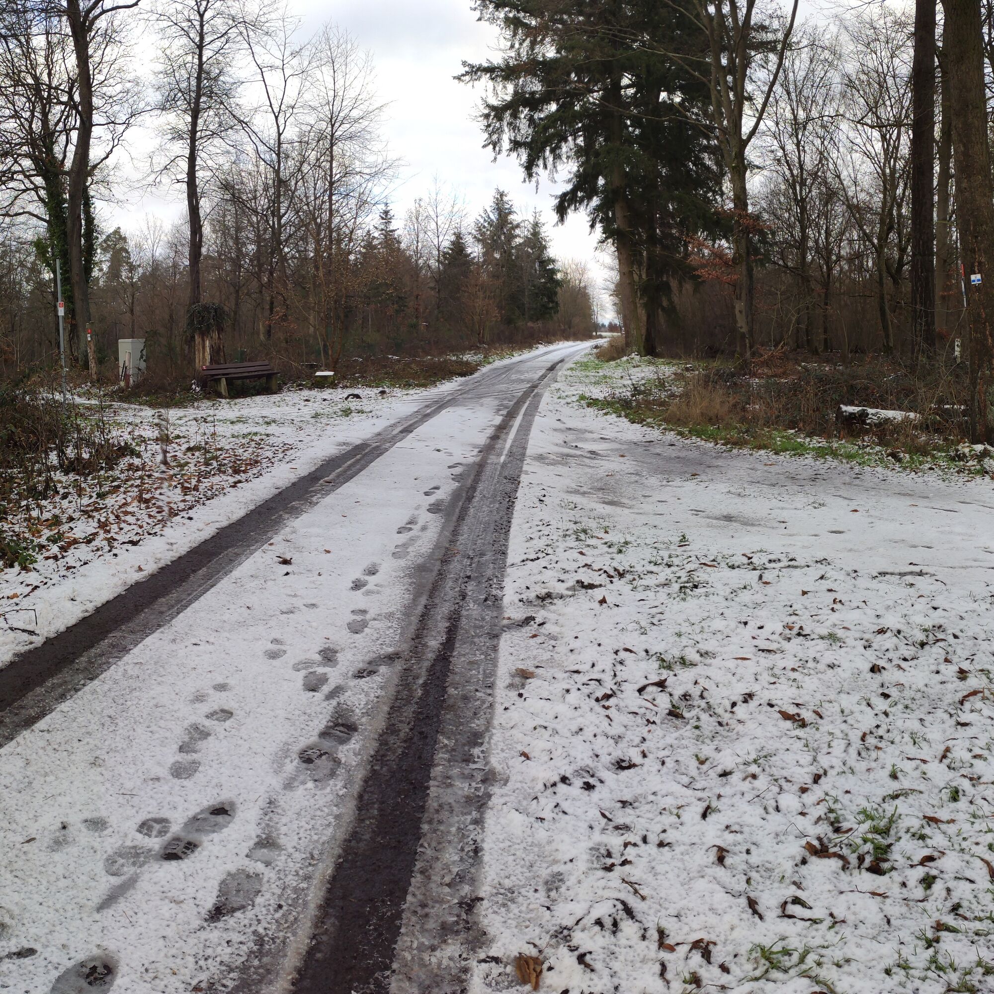
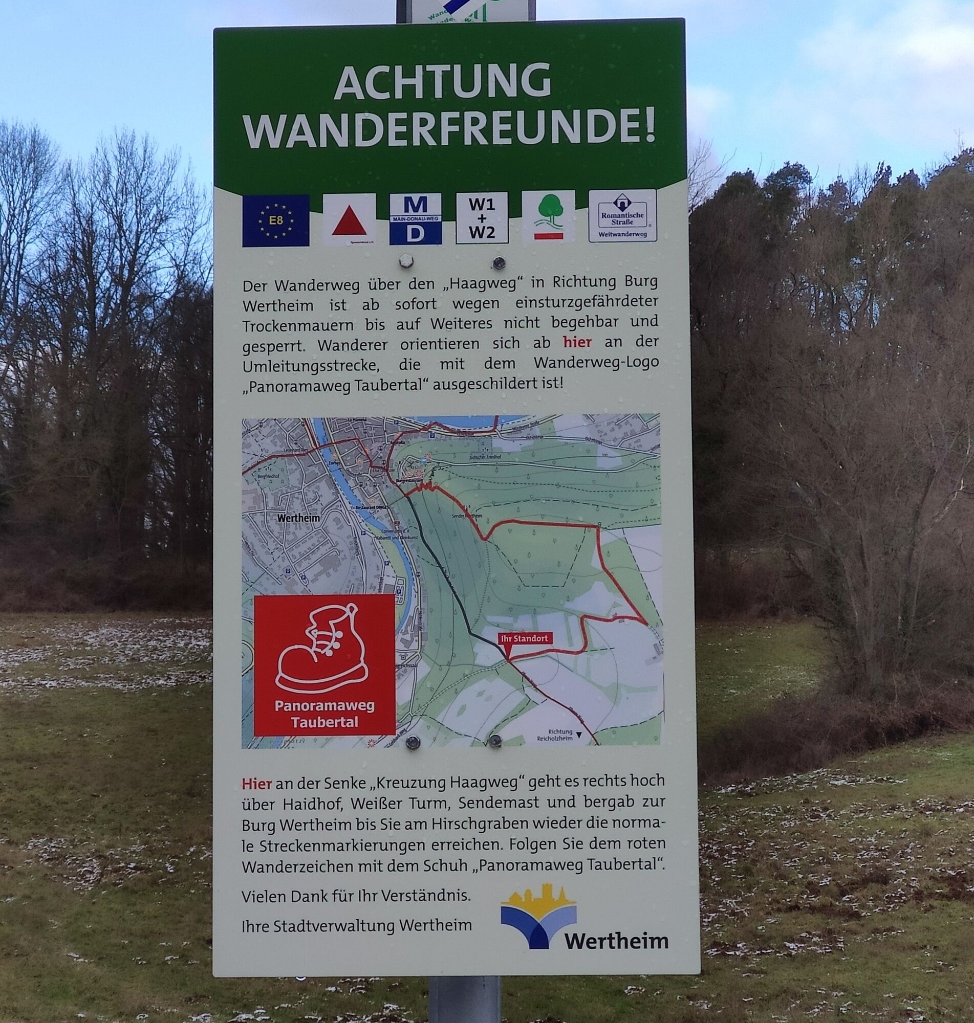
An asphalted forest path leads you steadily uphill to the "Rittelhöhe". It is worth taking a break here to recover from the climb and enjoy the calm. From the edge of the forest, it goes steadily downhill via the "Haagweg" to Wertheim Castle. The footpath to the old town takes you over the market square back to the starting point.

The hike begins at the "Spitzen Turm" in Wertheim. Opposite on the Tauber riverbank, behind the first house, you enter the Tauber promenade and walk towards the Tauber bridge. You pass the "Wertheim Town Hall" on your left, turn left through the Steintor arch, and walk through the town hall's rose garden towards the main street. Turn right (signposted LT3), following "Mühlenstraße", passing the "Stadtwerke" and then after about 100 meters turn left into the "Mühlensteige". You go steeply uphill for about 300 meters. You reach a plateau with a bench and then take the right hiking trail marked "LT3".
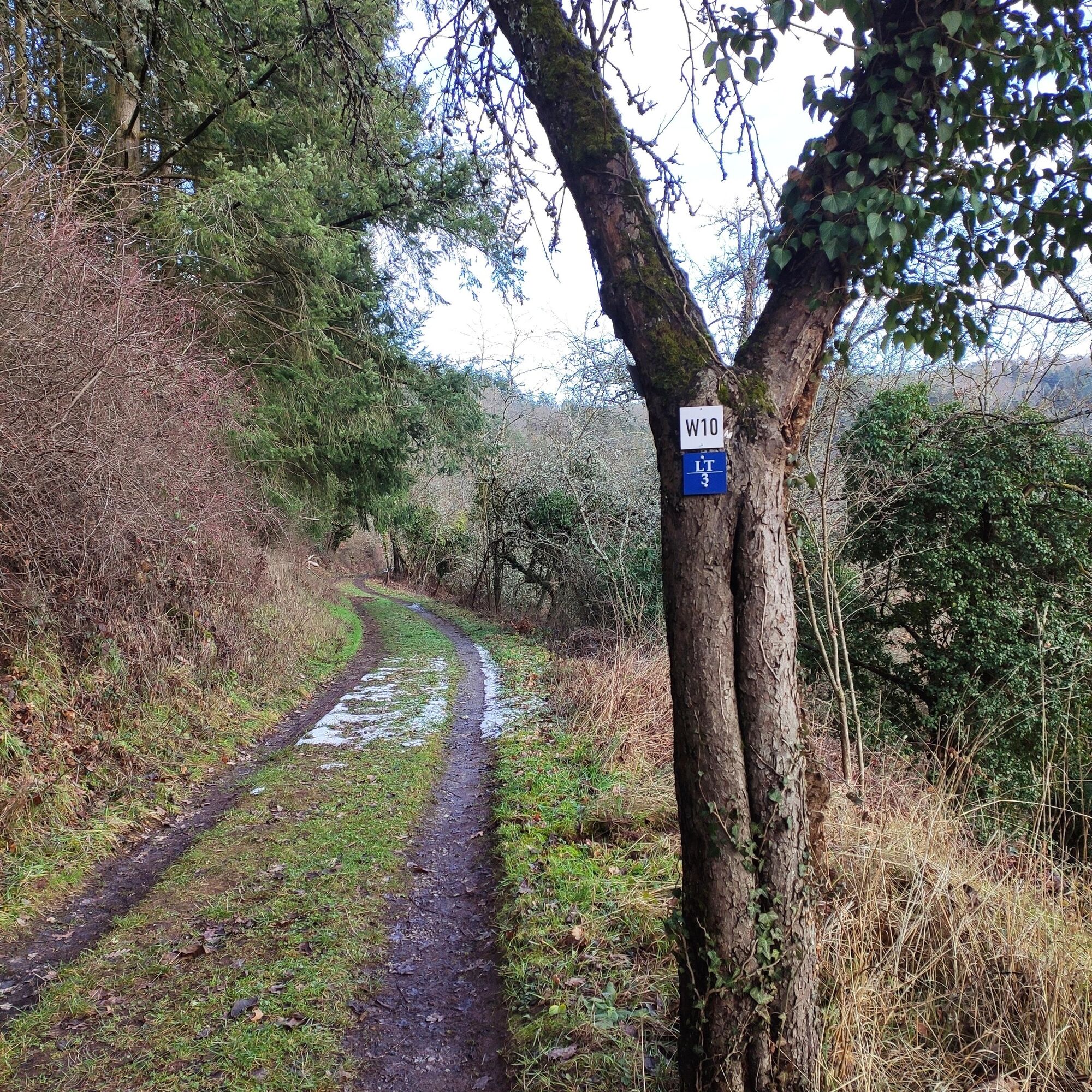
On a beautiful meadow path, with views of the Tauber valley, you walk to a marked left turn "W10". Take this turn and you are already in the former vineyards of Walzenberg. Take a break at one of the many benches and enjoy the wonderful view of Waldenhausen with its fortified church.
You leave the path marked "W10" and proceed straight ahead on the path marked "V10" until you reach a viewpoint overlooking the Tauberwehr and Teilbach mill.
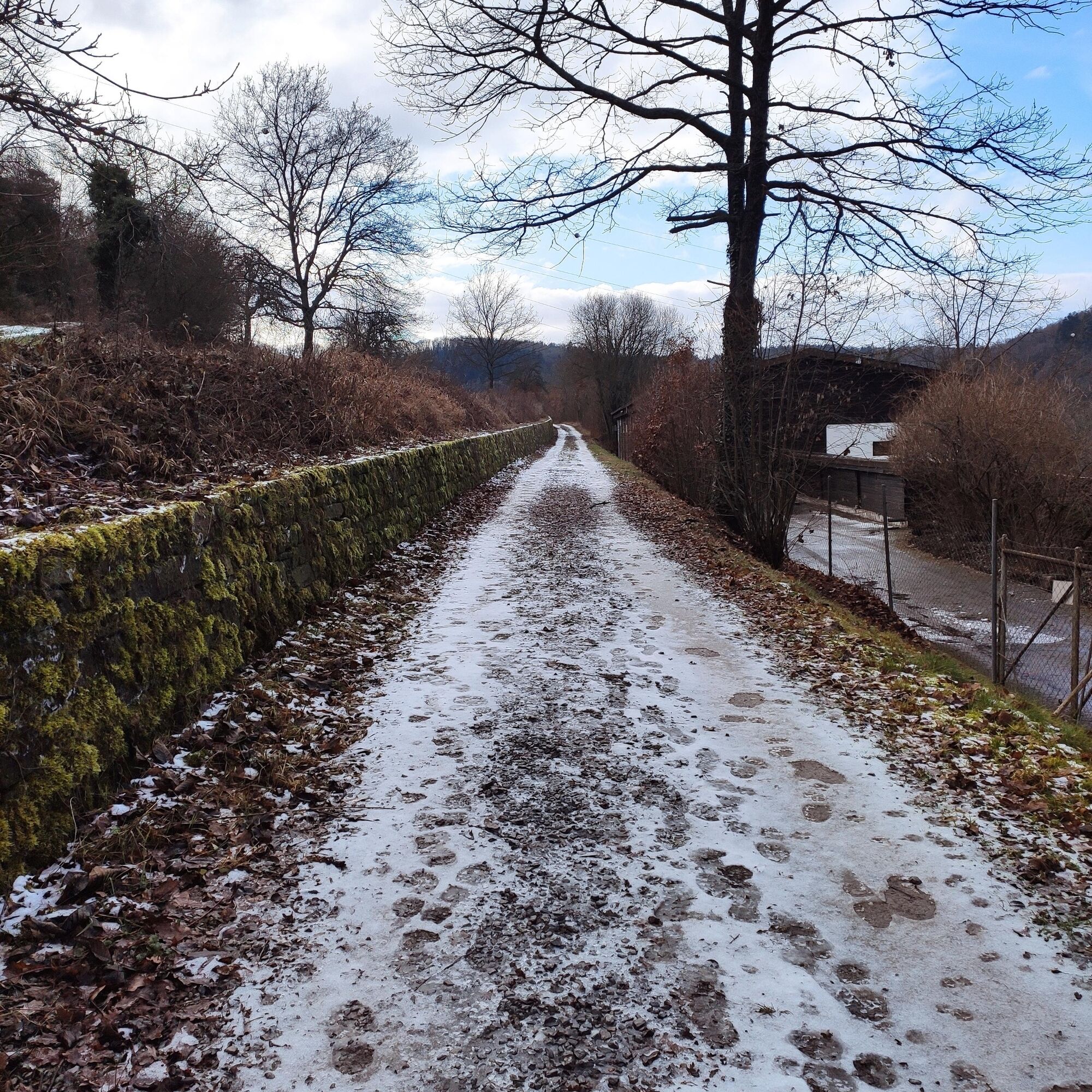
Here you turn left onto an asphalt forest path that leads you steadily uphill for about 30 minutes. You reach the "Rittelhöhe". At the junction, turn left and follow the "MD" markings.
After another 10 minutes, you reach the edge of the forest. At a power pole, you find the "MD" marking again. You continue straight ahead through a hollow. Along the "Haagweg" it goes steadily downhill to the Hirschgraben at Wertheim Castle. Downhill through the deer gate you reach the collegiate church. Cross the market square and then continue straight ahead through Maingasse. At the end of the alley, keep left and so reach the starting point "Spitzer Turm" again.
Sturdy footwear
You reach Wertheim via the A3 motorway, exit: Marktheidenfeld/Wertheim (distance: 10 km) or exit: Wertheim/Lengfurt (distance: 10 km) and connected to the A81 via the A6 and A7
Deutsche Bahn: Wertheim is located on the rail line Frankfurt/Aschaffenburg/Lauda/Bad Mergentheim/Ulm/Friedrichshafen.
ICE or IC Deutsche Bahn travelers can reach Wertheim from Würzburg via public transport via the A3 in about 30 minutes.
In the old town you will find numerous parking options (parking guidance system)
The district of Waldenhausen is a former settlement of mills, has one of the oldest fortified churches in Wertheim, and underwent a change from its original rural character to the current purely residential community.
Take the time for a visit to the castle complex or a refreshment in the castle restaurant.
Priljubljeni izleti v okolici
-
5.0
Dorfprozelten: Kollenburg-Chapel-Route
srednjaPohodništvo 11.8 km -
South Spessart Trail
težkoPohodništvo v daljavo 60.8 km -
Franconian Mary’s Way in the southern Spessart
srednjaPohodništvo v daljavo 25.6 km -
European Cultural Trail: From the Castle Hall to the Monastery Shine - At the Holle Tree and Piper Hans
srednjaPohodništvo 21.6 km -
4.0
Rund um den Apfelberg
svetlobaPohodništvo 8.18 km -
Stadtprozelten: Nature and Stone Monuments - Circular Route 2
srednjaPohodništvo 11.5 km -
Bildstockweg Faulbach - Breitenbrunn
svetlobaPohodništvo 6.01 km -
Hiking trail Faulbach-A
srednjaPohodništvo 9.27 km -
Buntsandsteinweg Etappe 4 - Kirschfurt-Collenberg
srednjaPohodništvo 8.61 km -
Faulbach: Hike Breitenbrunn-A
srednjaPohodništvo 7.45 km

Pohodništvo in sledenje


Ne zamudite ponudb in navdiha za naslednje počitnice
Vaš e-poštni naslov je bil dodan na poštni seznam.