







Trekking Camp Gutellbach - Camp Kniebis
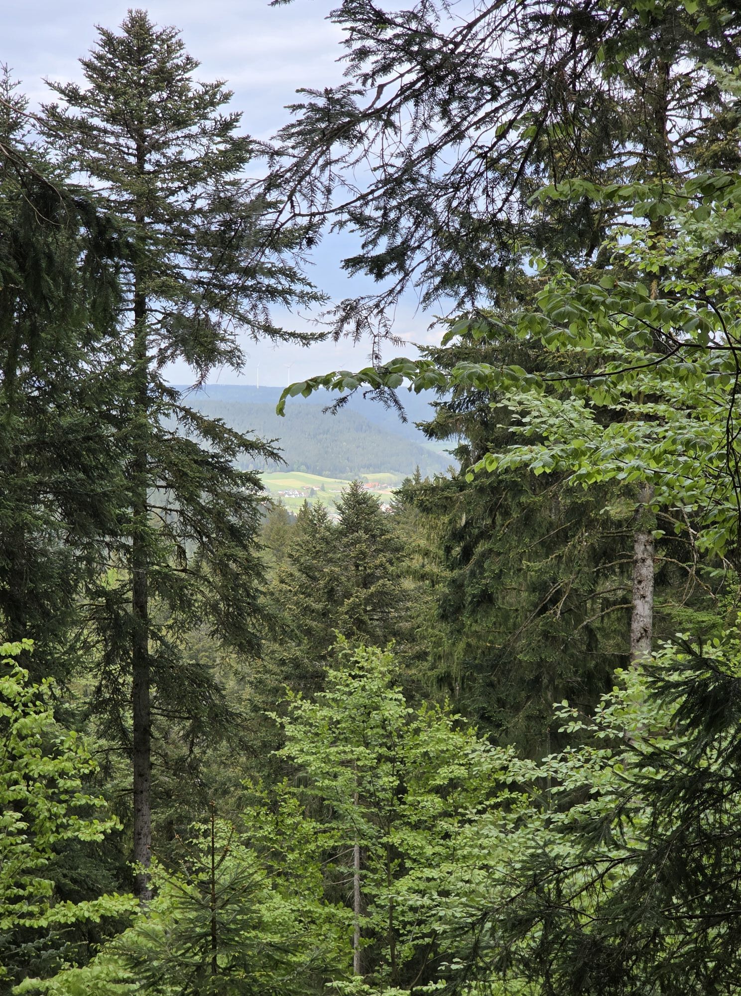
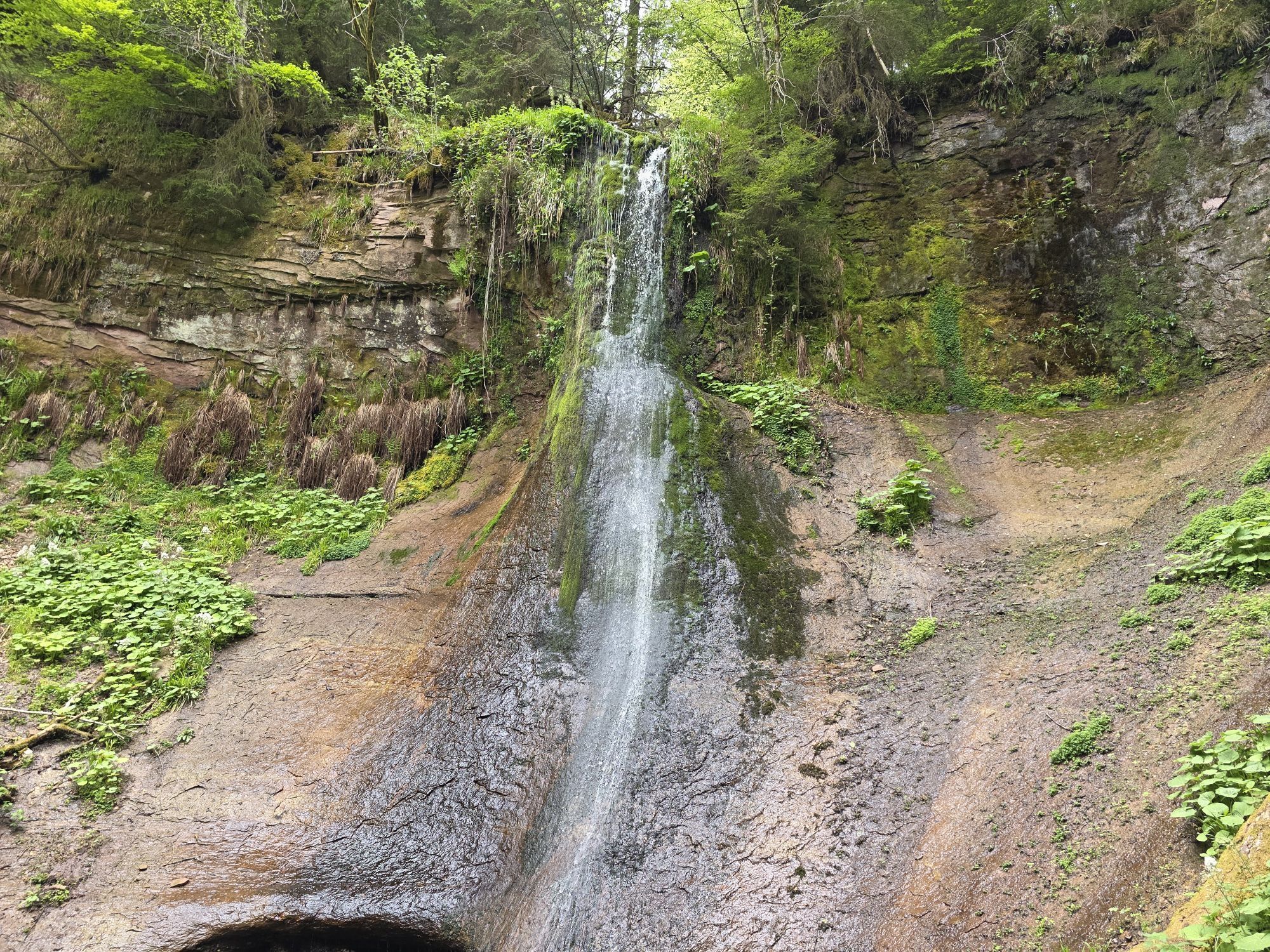
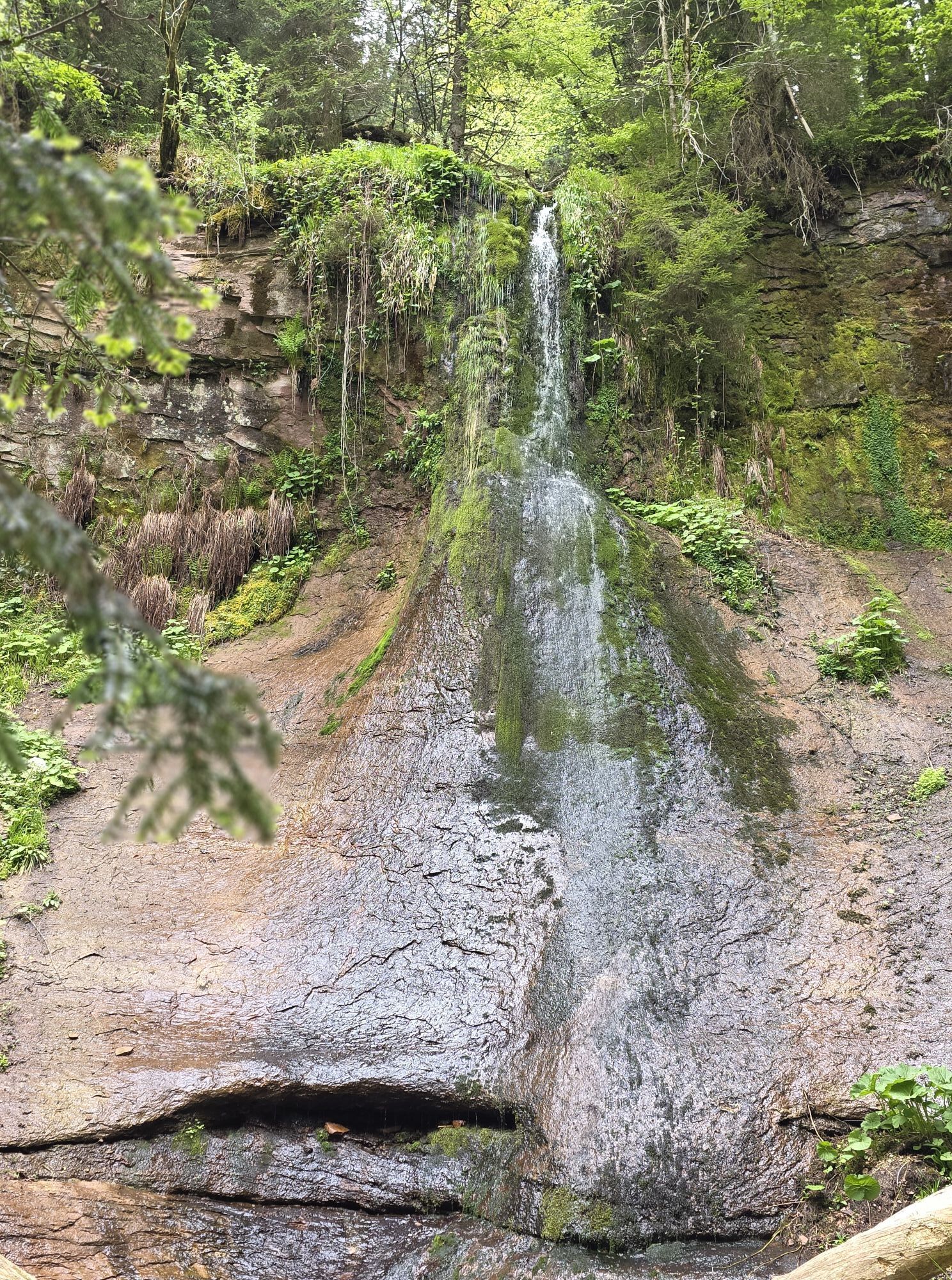
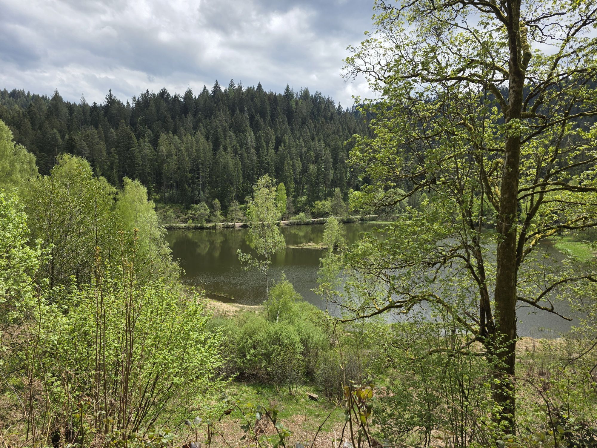
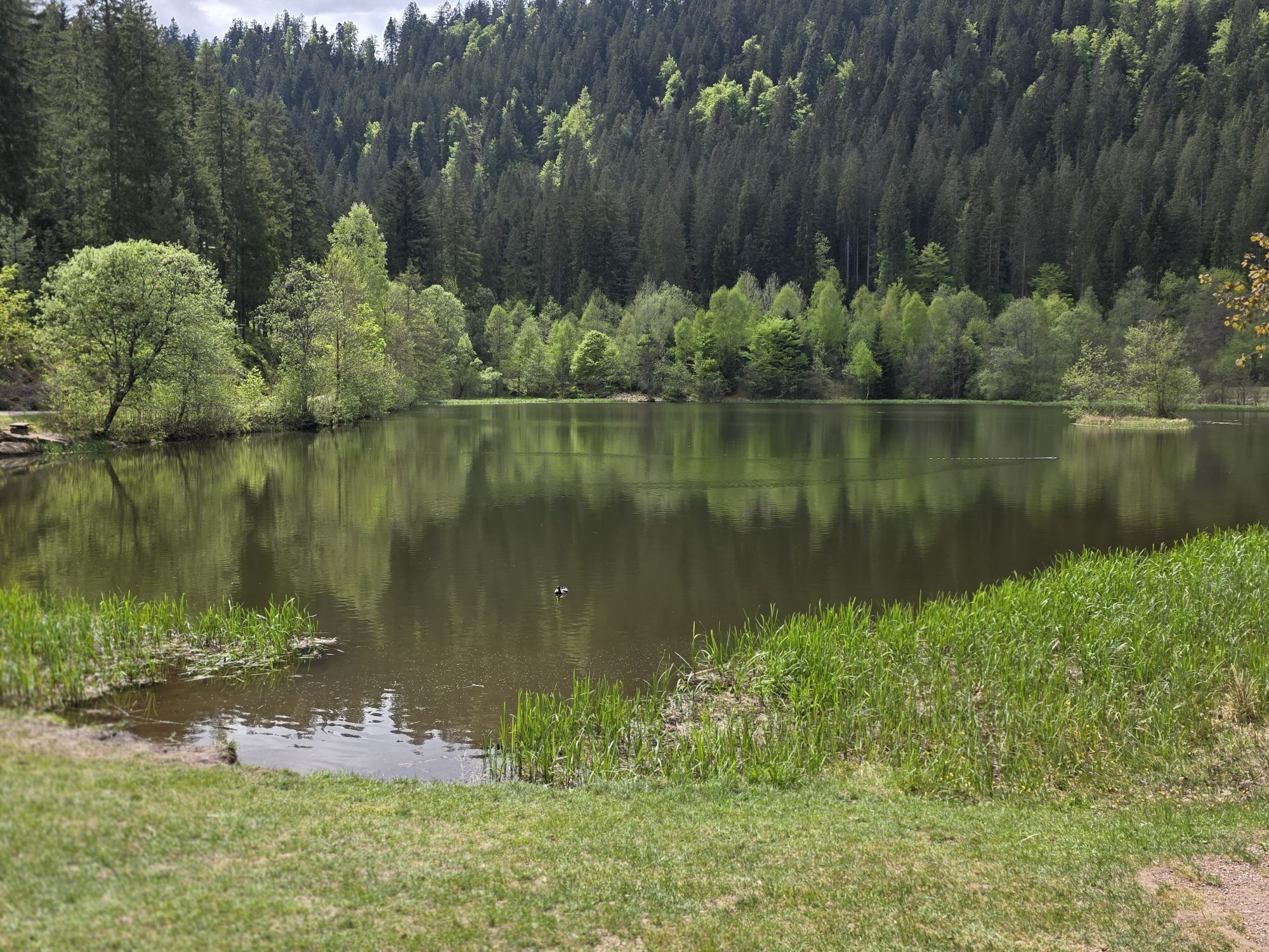
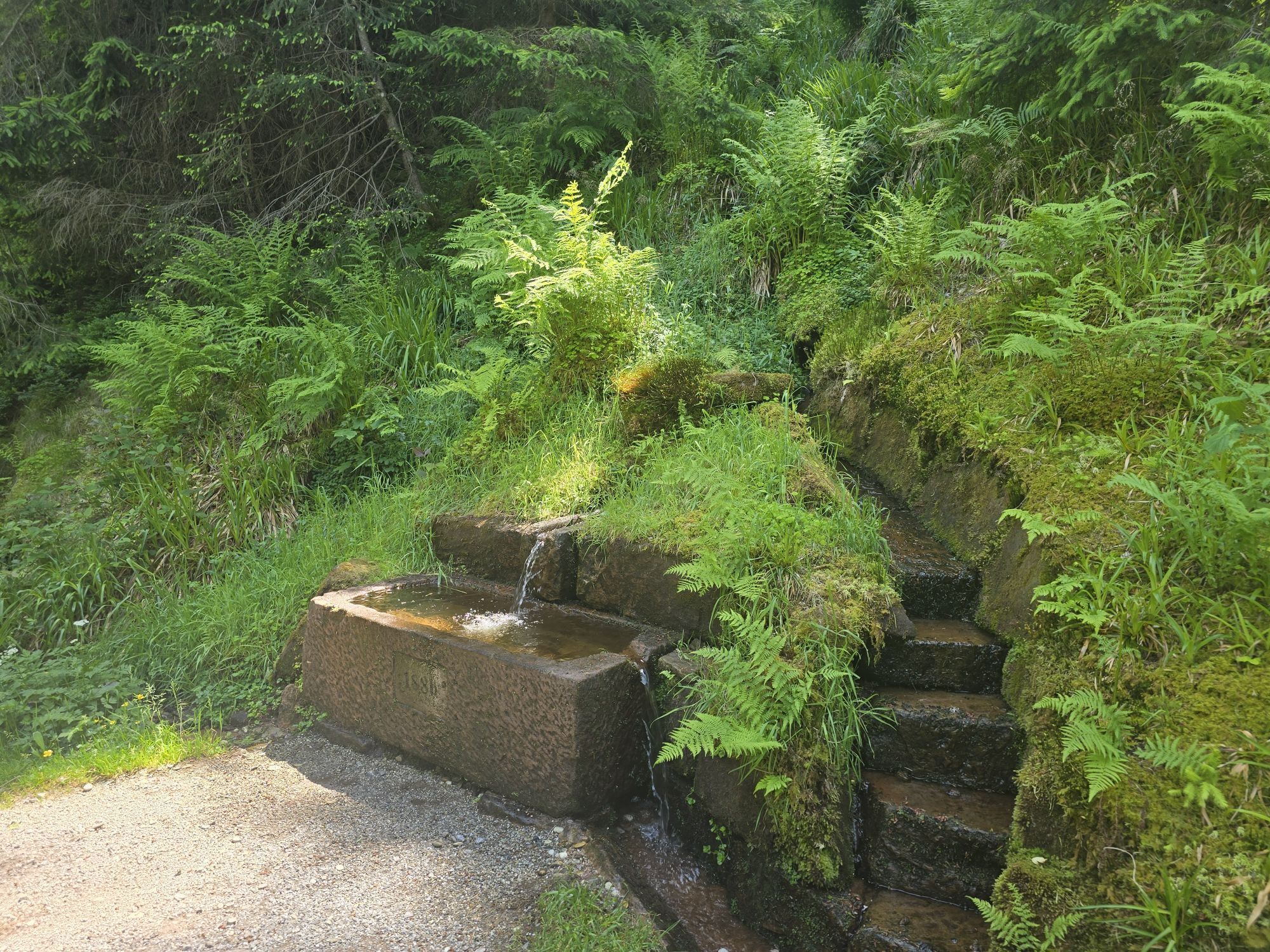
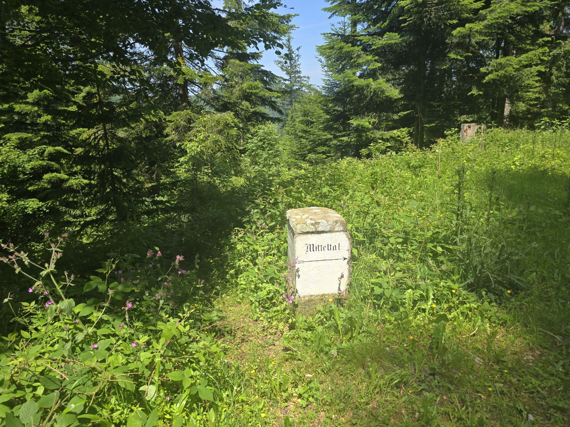
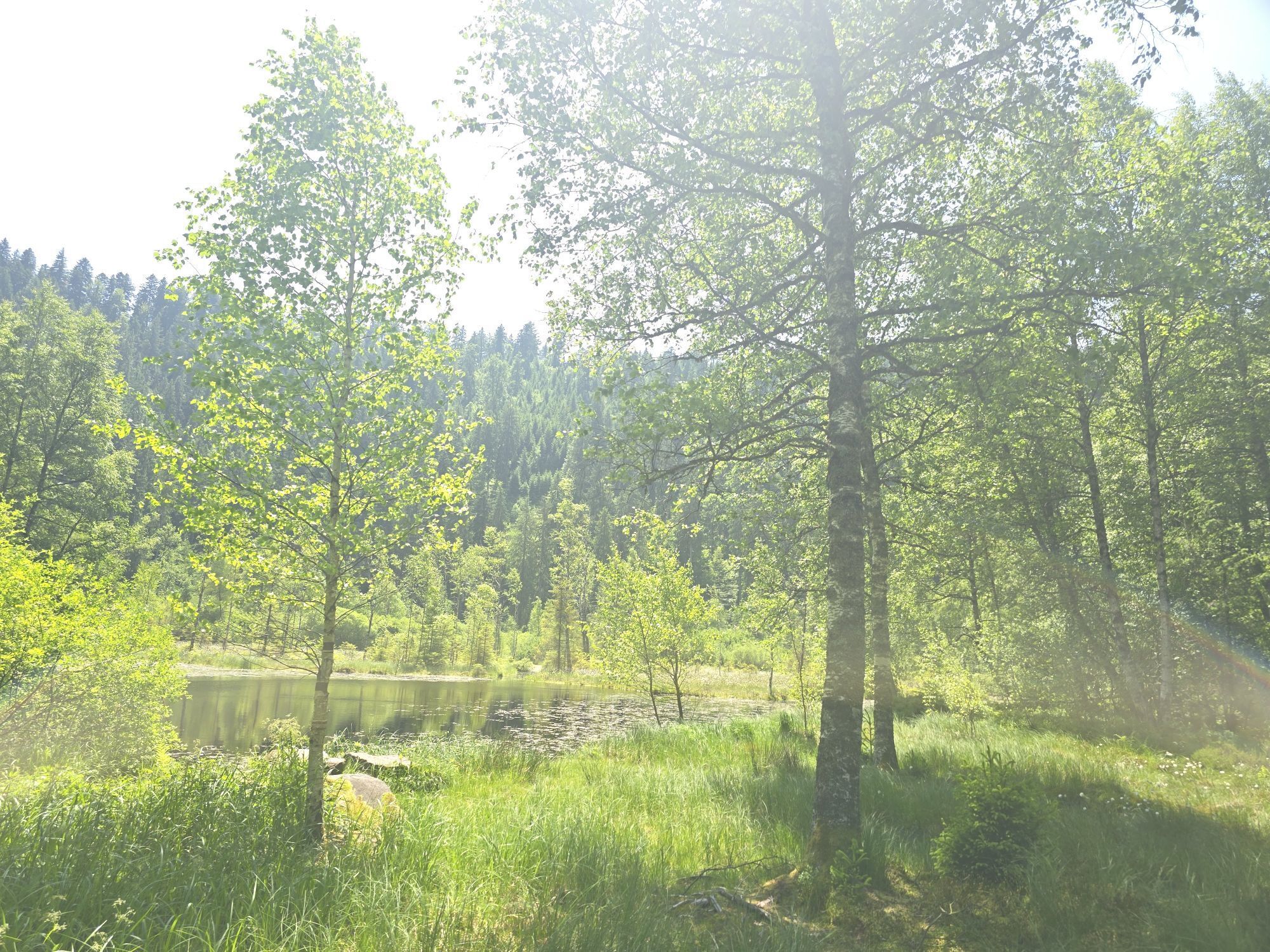
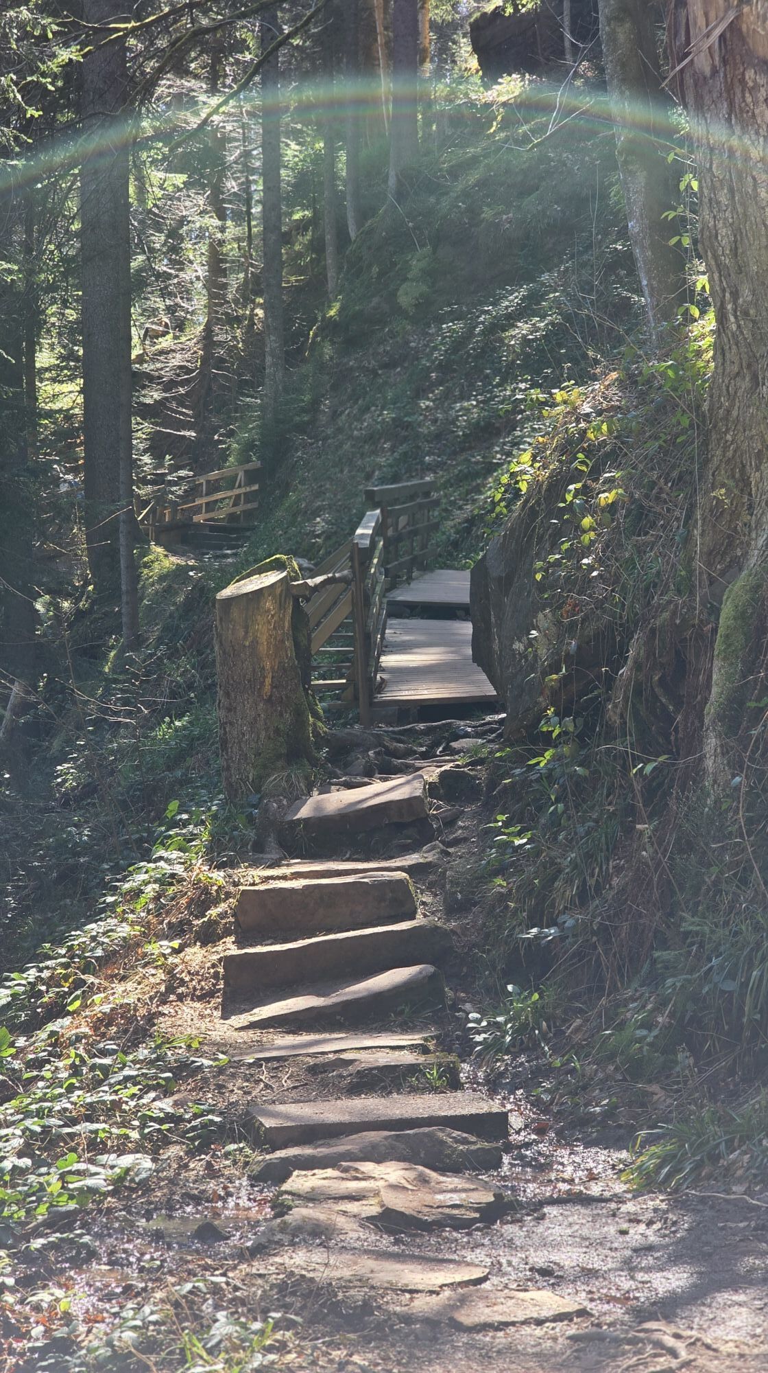
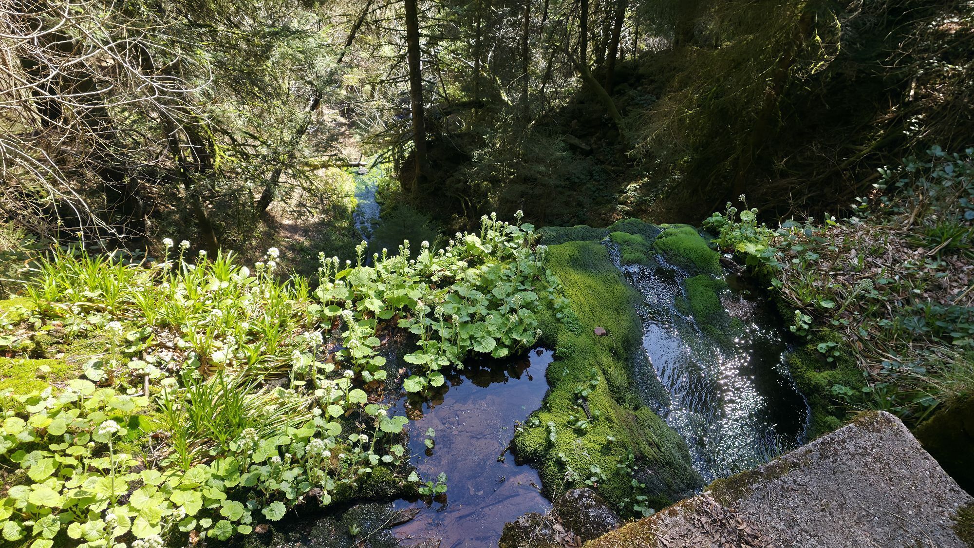
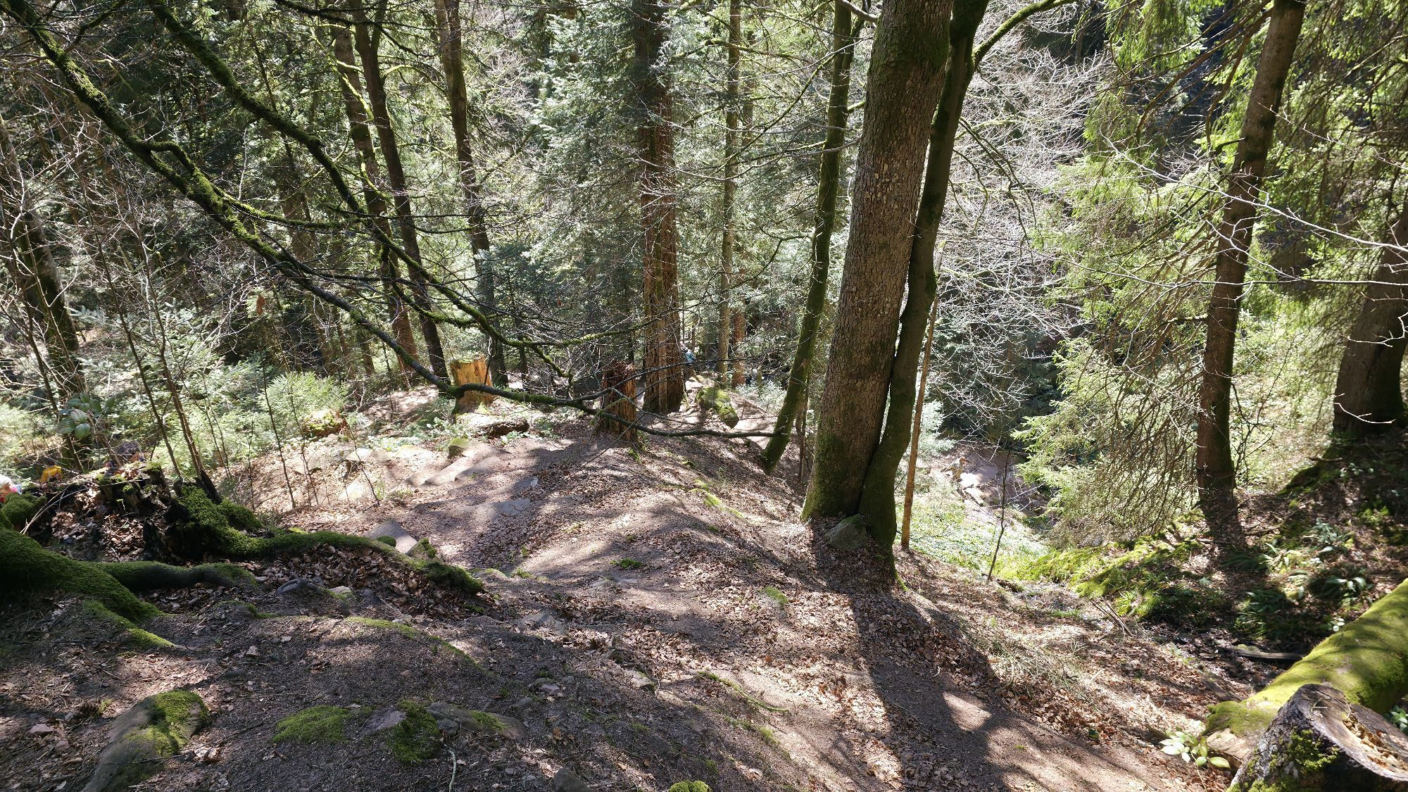
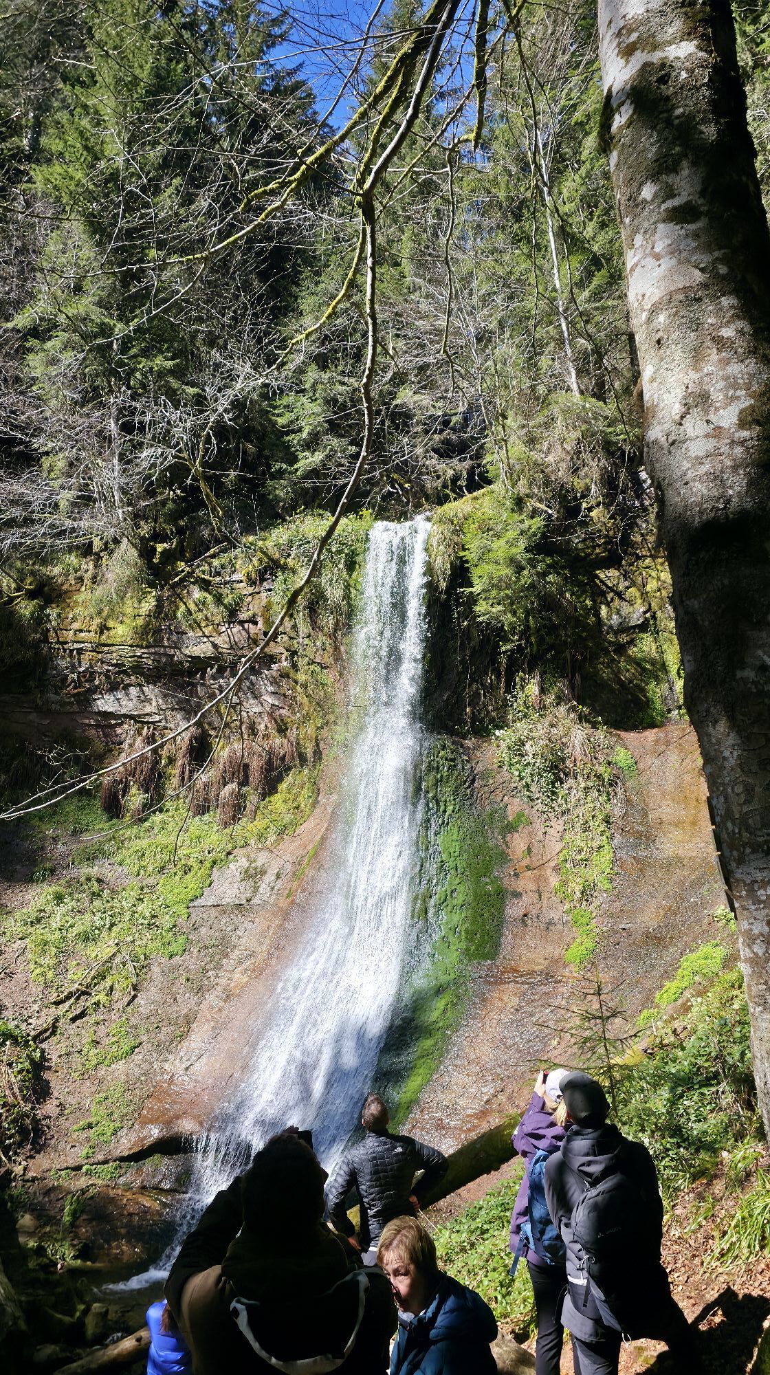
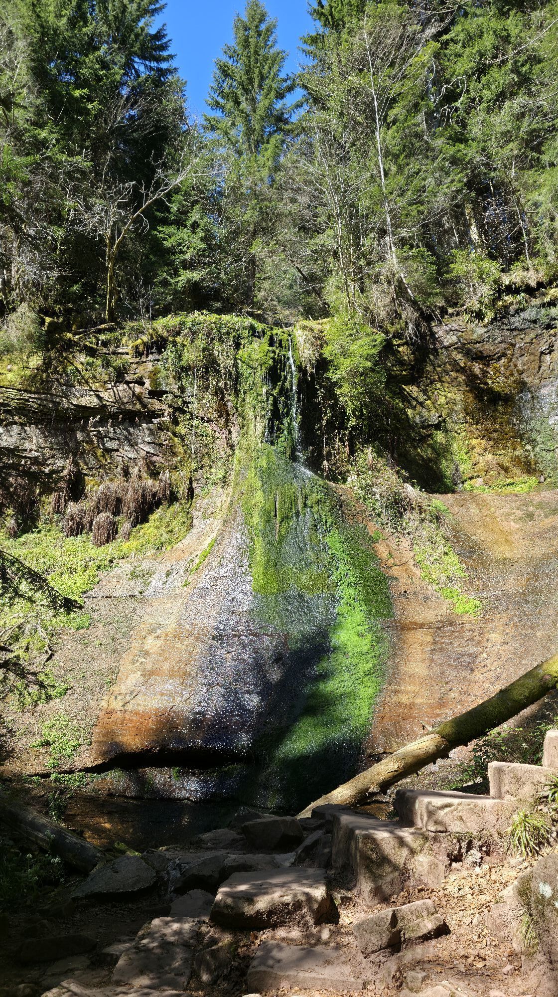
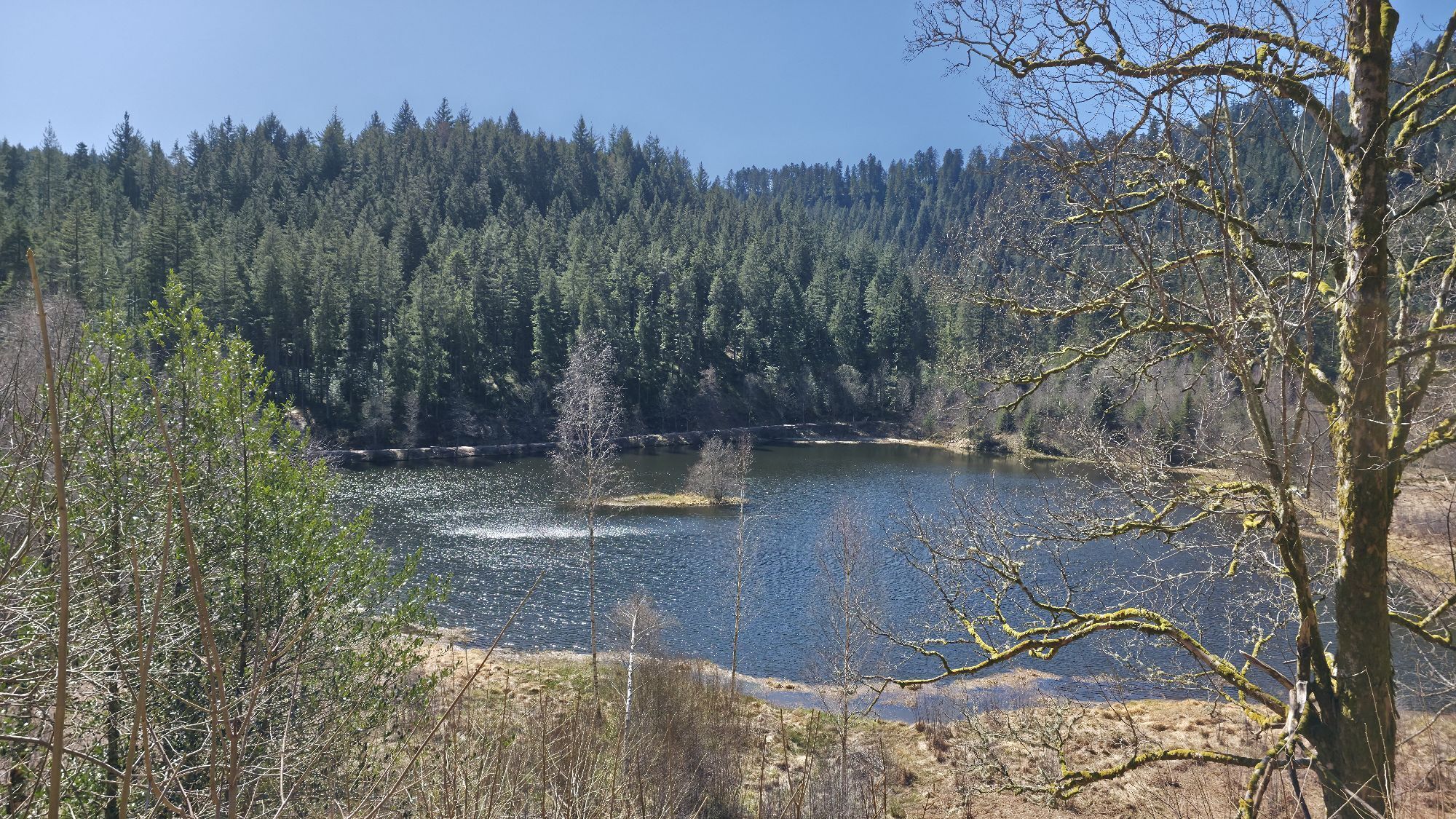
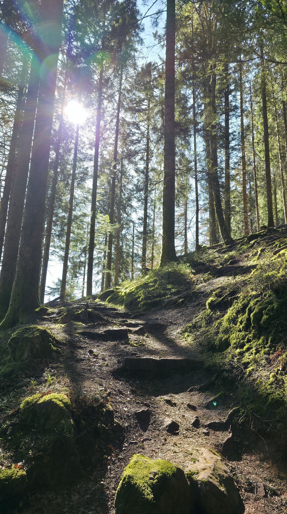
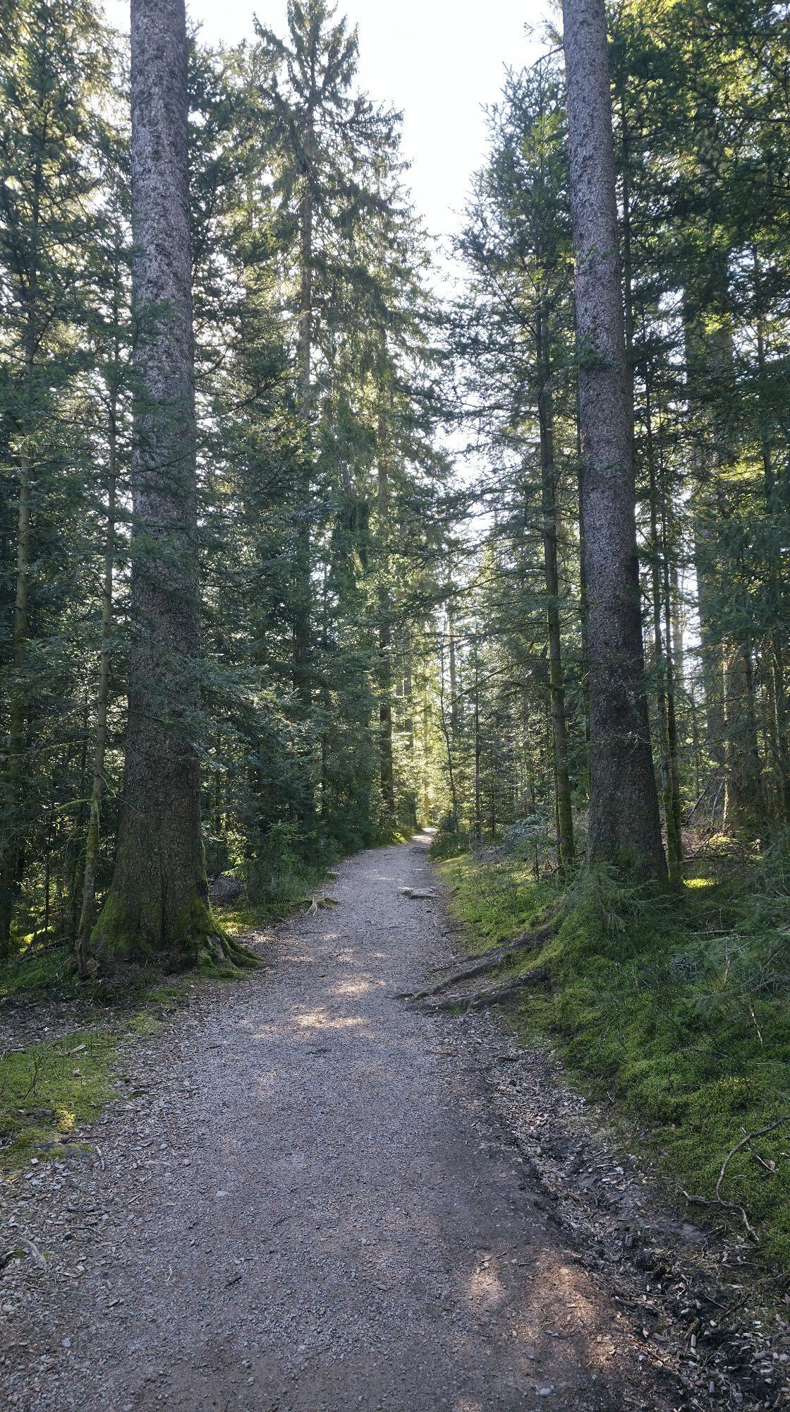
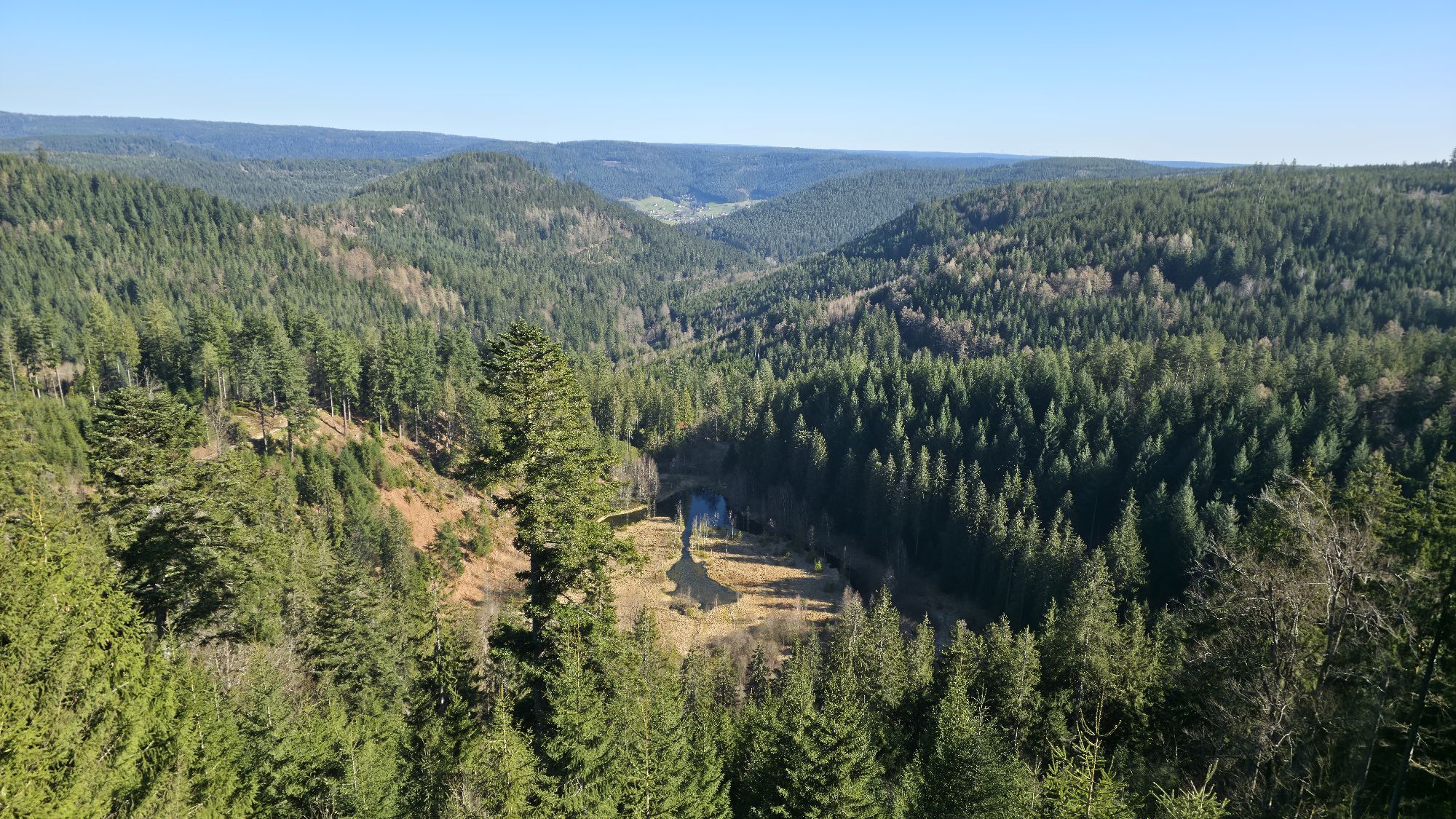
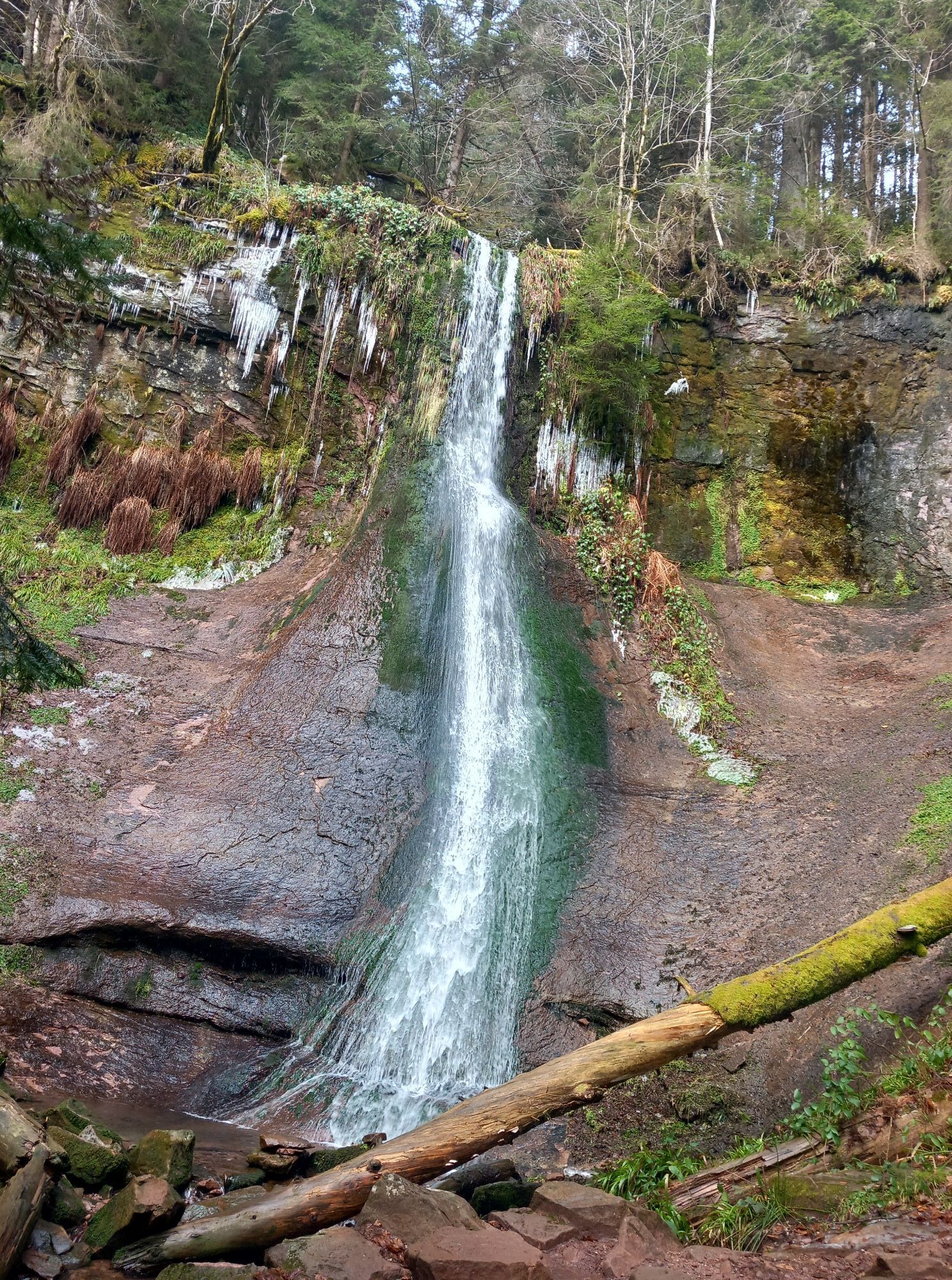
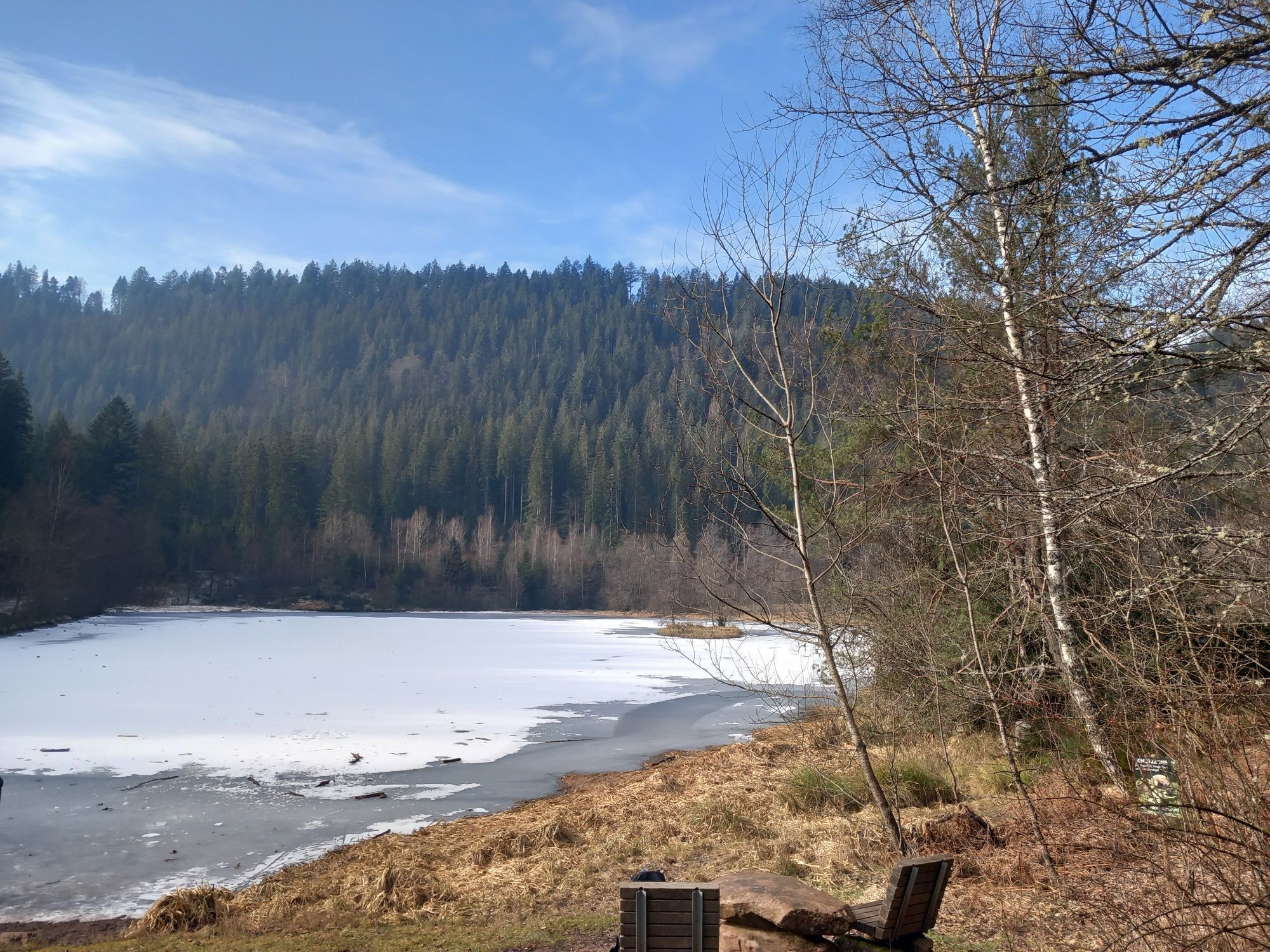
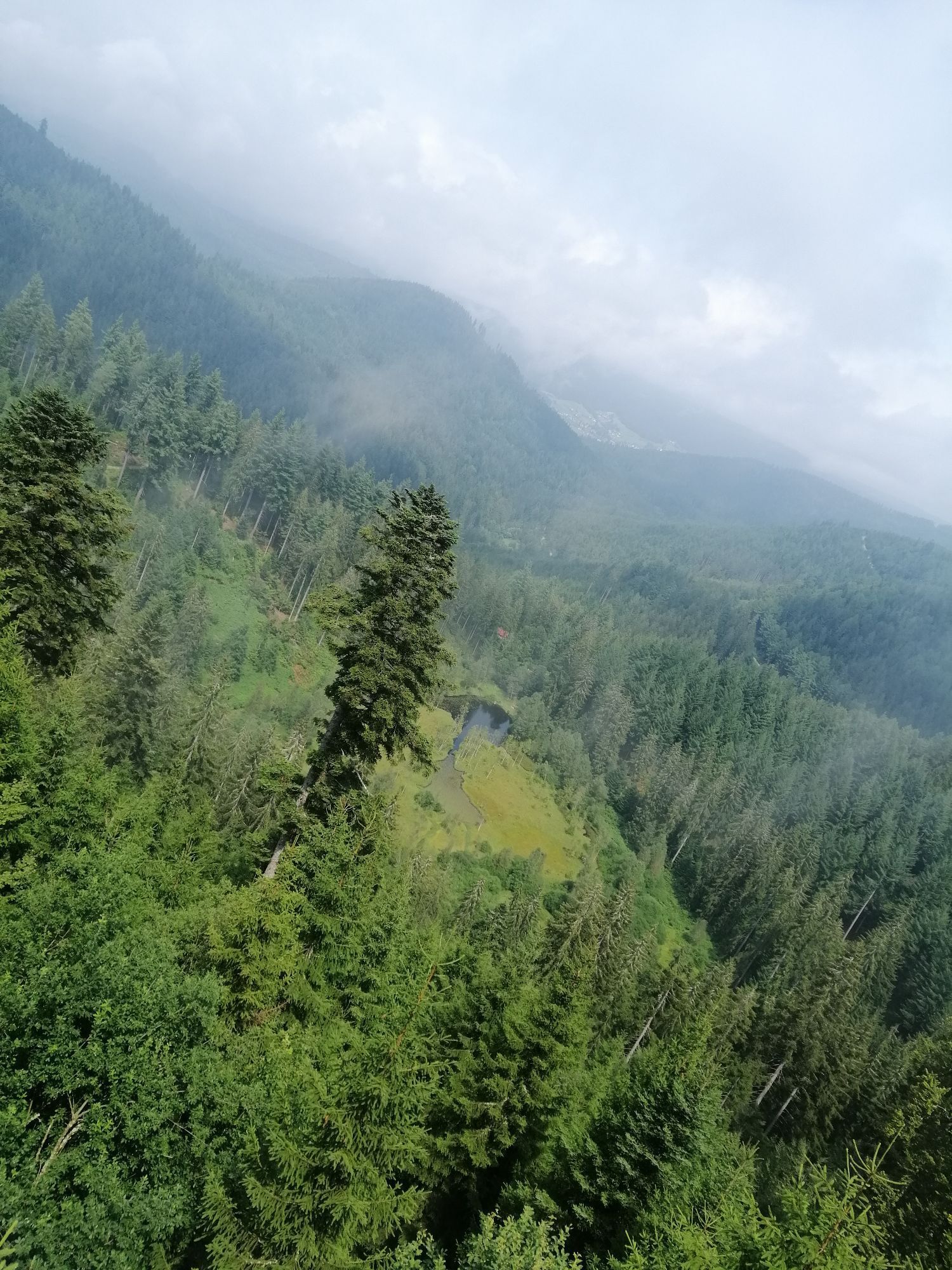
Breathtaking distant views, steep, demanding paths, enchanted mountain lakes, and a sparkling waterfall: The hike leads along the valley of the good Ellbach initially to the partially silted Ellbachsee....
Breathtaking distant views, steep, demanding paths, enchanted mountain lakes, and a sparkling waterfall: The hike leads along the valley of the good Ellbach initially to the partially silted Ellbachsee. Then continue on a narrow path through the steep lake flank up to the observation tower of Ellbachseeblick. Over the ridge of Kienberg, it goes down to the Sankenbachsee and finally back up to the heights at the waterfalls.
From the Langenhardt Bridge (after crossing the B 28) it is about 500 meters to Camp Kniebis. (The exact route description to the camp is included with the booking confirmation.)
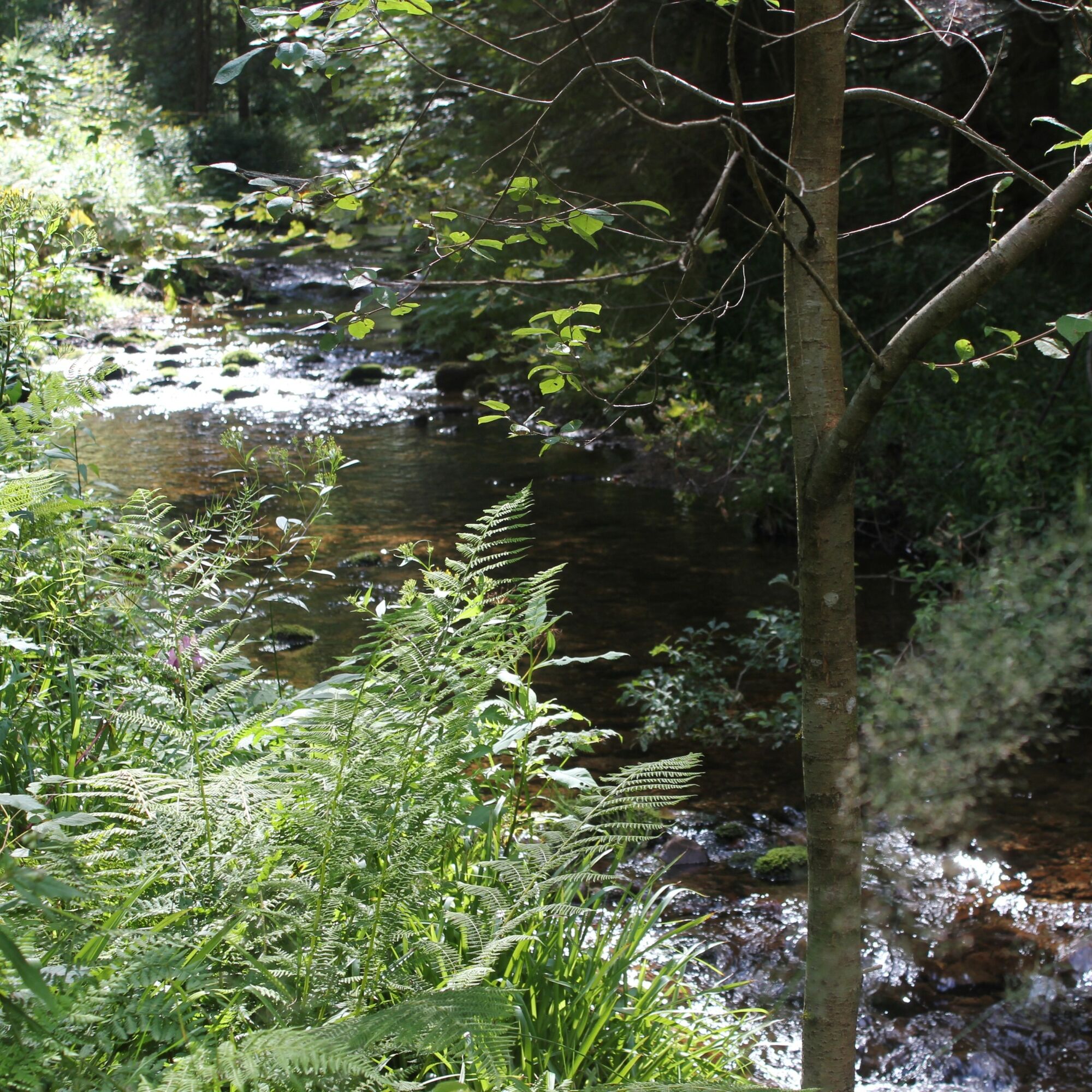
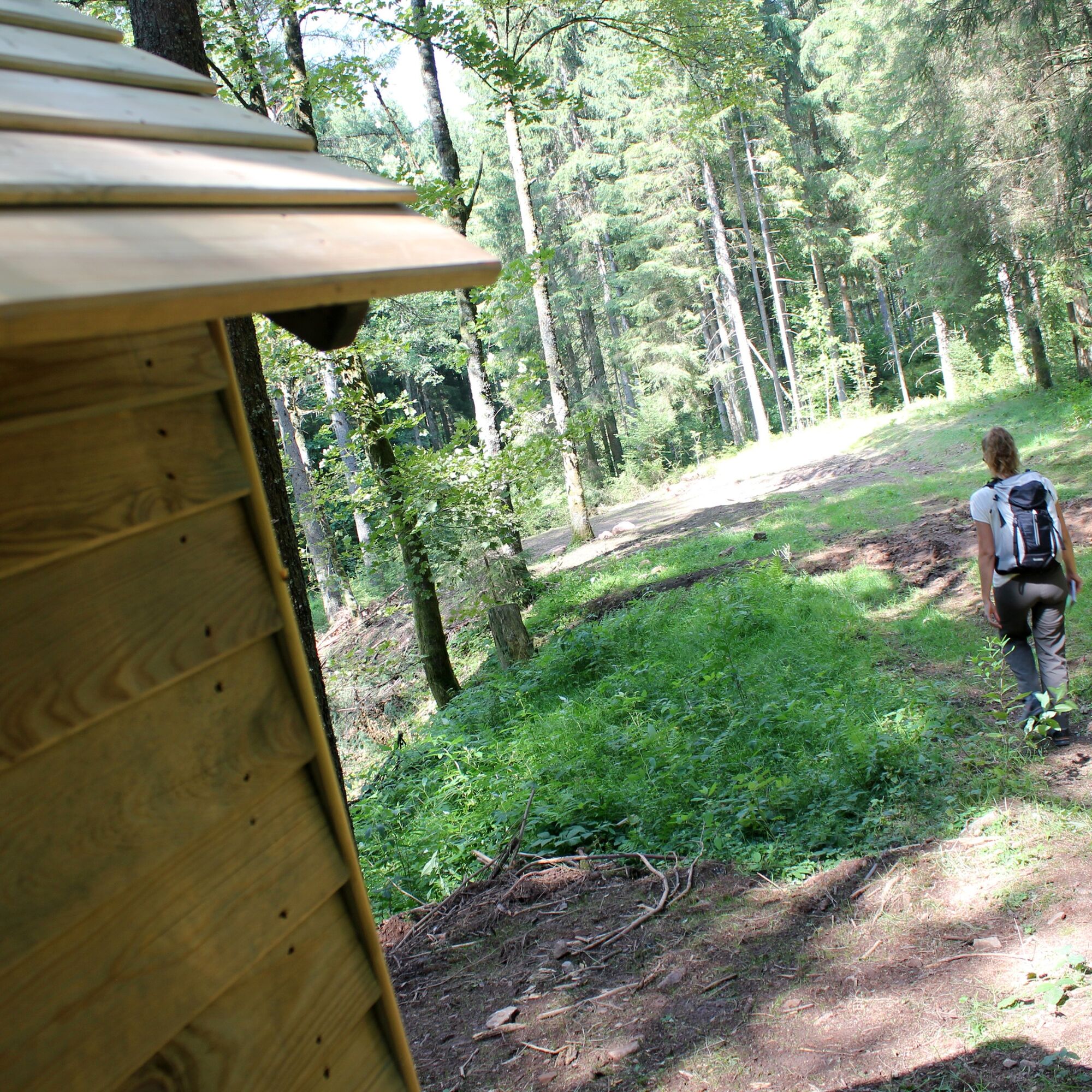

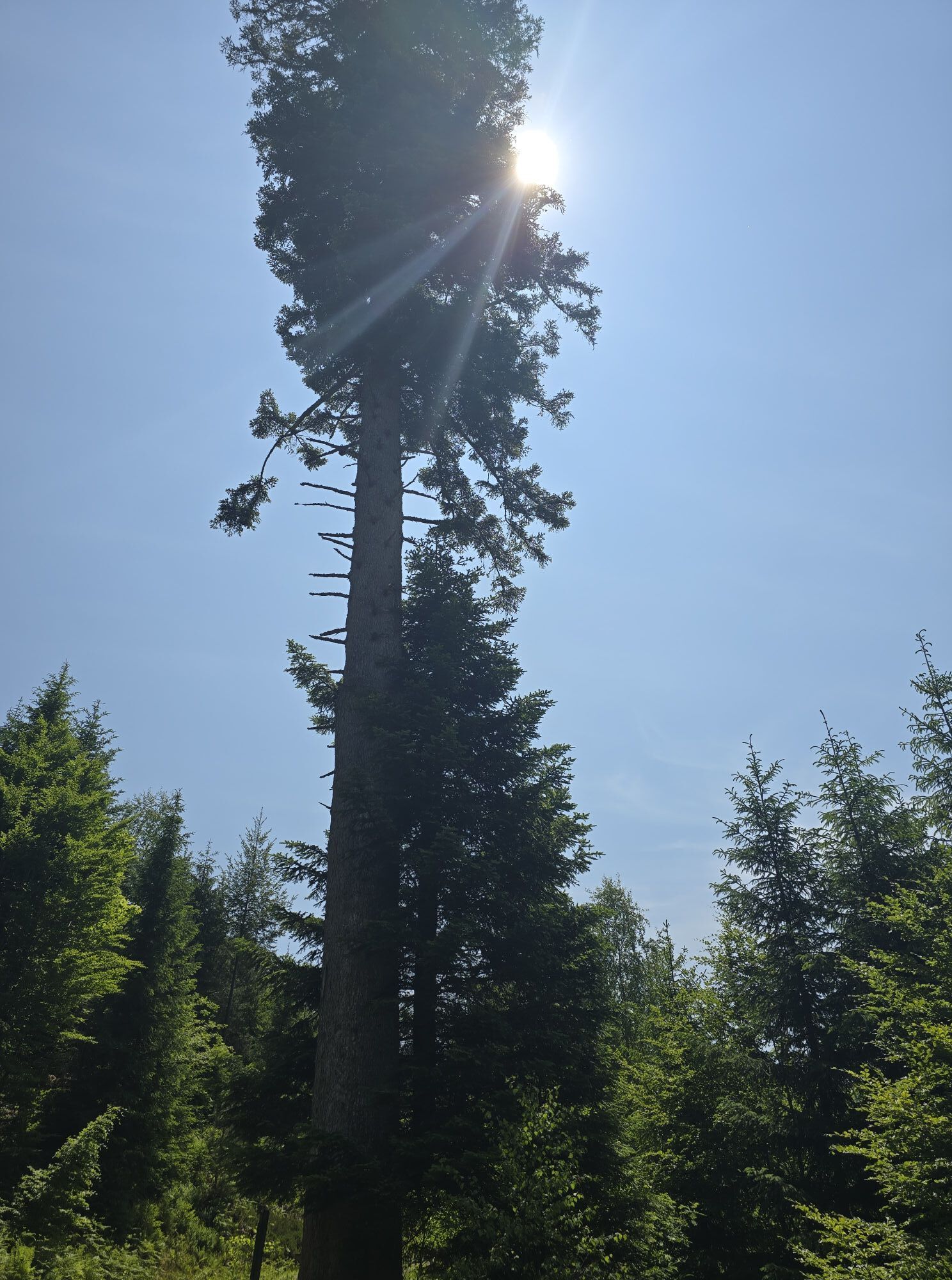
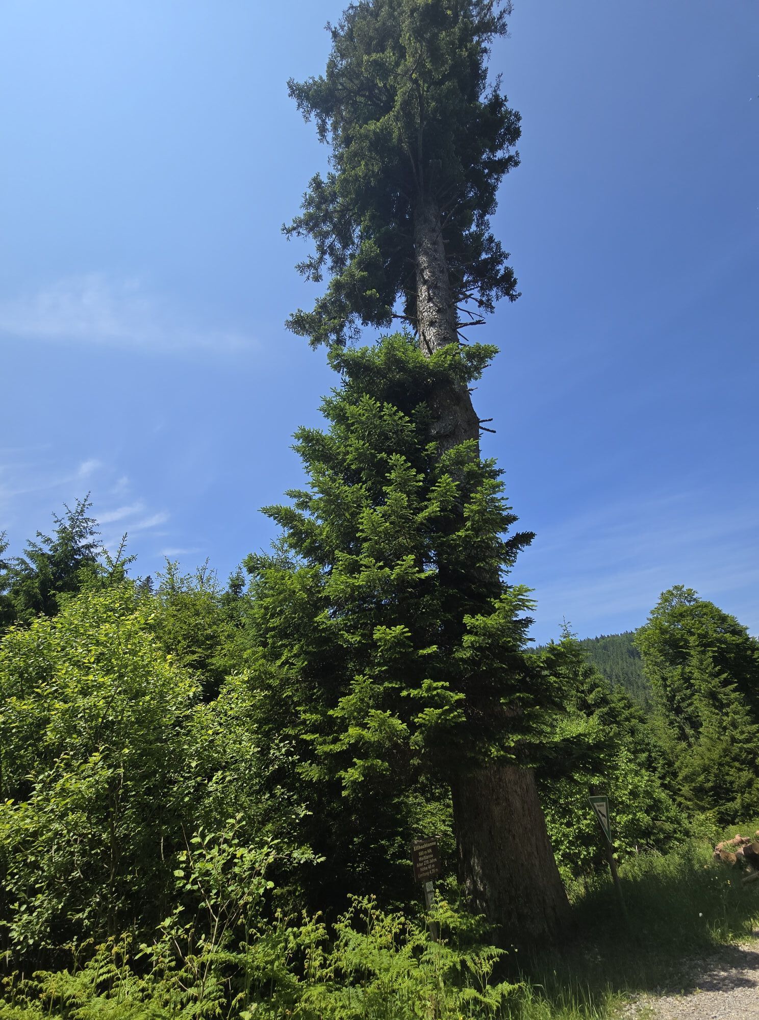
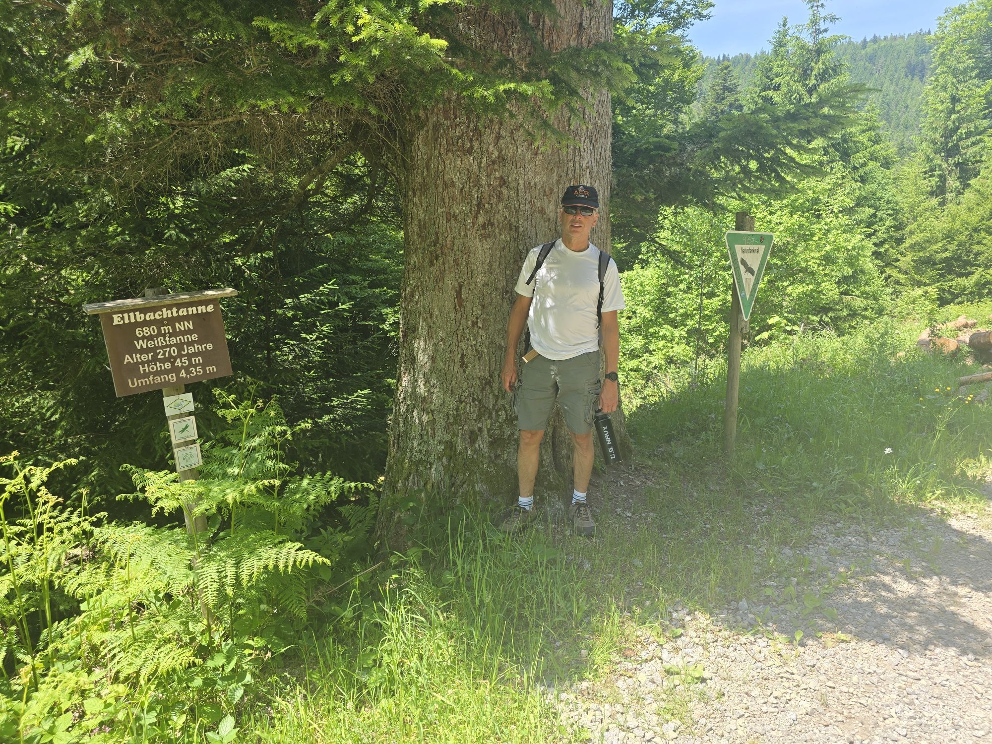
From the Ellbachtanne on the Seensteig and adventure path (narrow demanding path) to the Ellbachsee.
Alternative: Those who prefer it a bit more comfortable can follow the forest road (blue diamond) at the junction of the adventure path. About 300 meters before the Ellbachsee, the two paths meet again.
From the Ellbachsee, right up to the Ellbachsee hut (Seensteig) and further on a narrow, demanding path through the steep flank of the Ellbachsee to the panoramic platform Ellbachseeblick.
Continue a short stretch on the Seensteig until the signpost "Seehalde." From here, go straight ahead on the wide forest road (yellow diamond) towards Kienberg/Baiersbronn. After about 3.4 km at the signpost "Kienberg," descend right into the Sankenbach valley (yellow diamond). Cross the forest road down below and reach the dam of the Sankenbachsee.
Now circle the Sankenbachsee on the southern side (Seensteig). At the lower shelter, turn left steeply up the Sankenbach waterfalls to the waterfall hut. There turn left down the little road about 600 meters (yellow diamond) and then diagonally right follow the narrow path slightly upwards to the signpost "Weihermisse." Continue straight (blue diamond) to the signpost "Prof.-Endris-Weg." There turn right (yellow diamond) and follow the destinations Kniebis/Zwieselberg. Via the signposts "Oberes Rotwasser" and "Kirchenweg" to the B 28 and from there to the Langenhardt Bridge.
For a trekking tour in the Black Forest, you usually do not need extensive expedition equipment. However, you should be well prepared and have the essentials with you. Therefore, we have put together a few equipment tips.
Hiking maps
The Black Forest has an extensive and very well signposted network of trails. Our tour suggestions mainly lead over narrow paths that do not always connect the camps directly. We therefore recommend carrying a suitable hiking map showing further sights, roads, and other important points. You can find a selection of suitable hiking maps in our Nature Park shop.
GPS
With the booking confirmation, you will receive a detailed route description for the respective camp. In addition, GPS coordinates (UTM WGS 84) are provided for each site. For safety reasons, we therefore recommend a GPS device. Especially in the summer months, with dense shrub growth, it can sometimes be difficult to find the camp at first attempt.
Booking confirmation
Upon booking, you will receive an invoice, the terms and conditions, and the booking confirmation by email. The booking confirmation also contains the route description for the last mile and the access code for the toilet hut. The booking confirmation must be shown on request to the manager of the respective site as well as to forestry administration staff.
Water
There is no water connection at the camps! The surrounding streams also do not provide drinking water or are often dry in summer months. So take enough water with you and always replenish it on the way. Better a few liters too many! Also think of water for cooking and washing. 4–5 liters per person per day should be taken along!
Others
The following should also not be missing in the backpack:
Clothing: rain jacket, sweater, and sturdy footwear Sleeping: tent, sleeping mat, sleeping bag Washing: toothbrush, toothpaste, soap, towel, … Provision: water container, thermos, cutlery, pocket knife, pot, … Health: first aid kit, personal medication, sunscreen, insect repellent, … Toilet paper Garbage bag Mobile phone ID card If necessary: camping stove, can opener, tealight, rope, cord, flashlight, …The trekking camps are located away from towns and can only be reached on foot. In the vicinity, generally nothing can be found – except wild nature. To ensure nothing goes wrong on this adventure and that the trekking tour is a safe pleasure, the most important safety rules should be observed.
Forest fire hazard
The main cause of forest fires is careless and negligent behavior in the forest. We therefore ask you to light fires only at the designated fire site and to observe the instructions in the user regulations. Empty glass bottles should not be thrown away, as they can also start fires. Current information on forest fire hazard can be found at www.dwd.de/waldbrand.
In an emergency, immediately call the fire brigade: Emergency number 112
Severe weather
Entering the forest involves risks. Falling branches and slippery forest ground are not uncommon. Particularly during severe weather, there is a risk of life-threatening injuries.
Use of the natural campsites is at your own risk. No liability is accepted for possible damages, especially caused by falling branches or overturning trees in the forest. Each user must particularly inform themselves about severe weather warnings.
We recommend not using the natural campsites during severe weather warnings!
The current situation and forecasts can be found at http://www.unwetterzentrale.de/uwz/badenwuerttembergindex.html.
In an emergency
So that rescue forces from mountain rescue, fire brigade, or Red Cross can quickly find you in an emergency, an information board is attached inside the toilet hut at each camp, indicating the nearest rescue point. Stay calm in an emergency, provide first aid, and place an emergency call to 112!
Provide the following information:
Where did it happen? (Name of the camp and the nearest rescue point) What happened? (Type and severity of the injury) How many injured are there? Who is reporting? (Give names and your own mobile number) Wait for follow-up questions!If something happens on the way, it is important to know that all signposts, together with the altitude information, have a location name that can be given as the rescue point when placing the emergency call. Via an online tool from the Digital Trail Management of the Black Forest Association, the control centers can locate the emergency location in difficult terrain where road navigation no longer helps. https://www.schwarzwaldverein.de/schwarzwald/wanderwege/wegweiser-sind-rettungspunkte
Nearest stop Camp Gutellbach:
Bus stop Mitteltal, Lamm: Bus line 200 from/to Baiersbronn
Nearest bus stop Camp Kniebis:
Kniebis forest swimming pool: Bus line 100 from/to Freudenstadt
Bus line 7226 from/to Hausach (Mon-Fri)
www.vacations-in-freudenstadt.de
The round tour of the Ellbachsee shows the lake from all sides. This gives a good impression of the delicate balance of this natural gem.
Dining options: Kniebis
Pridobite vpogled
Vedno v živo na mestu z več kot 9.500 spletnimi kamerami. bergfex Kot uporabnik Pro si lahko zdaj ogledate ustrezne spletne kamere za številne izlete v aplikaciji izleti iz. Tako si lahko neposredno ogledate trenutne razmere.
Priljubljeni izleti v okolici
-
4.9
Ottenhöfen - Eichkopf - Karlsruher Grat
srednjaPohodništvo 13.7 km -
4.7
Kniebiser Heimatpfad - Wandern mit Genuss
svetlobaPohodništvo 9.07 km -
4.2
Sankenbachwasserfälle und Glasmännlehütte am Stöckerkopf
srednjaPohodništvo 12.8 km -
4.5
Naturgewalten-Tour
Pohodništvo 15.6 km -
5.0
Bannwald-Tour
Pohodništvo 13.3 km -
4.8
Bad Peterstal-Griesbach - Himmelssteig für "Höhenverliebte"
težkoPohodništvo 10.3 km -
4.6
Bad Rippoldsau - Cafe & Restaurant Zum Schlüssel - Klösterle - Burgbachwasserfall
srednjaPohodništvo 11.2 km -
5.0
Kniebis-Sankenbachwasserfälle-Sankenbachsee
srednjaPohodništvo 7.98 km -
4.0
Eiszeit-Tour
Pohodništvo 11.7 km -
2.6
Genießerpfad zum Panoramastüble
Pohodništvo 10.6 km
Pohodništvo in sledenje


Ne zamudite ponudb in navdiha za naslednje počitnice
Vaš e-poštni naslov je bil dodan na poštni seznam.





