






Circular hike along the High Rhine
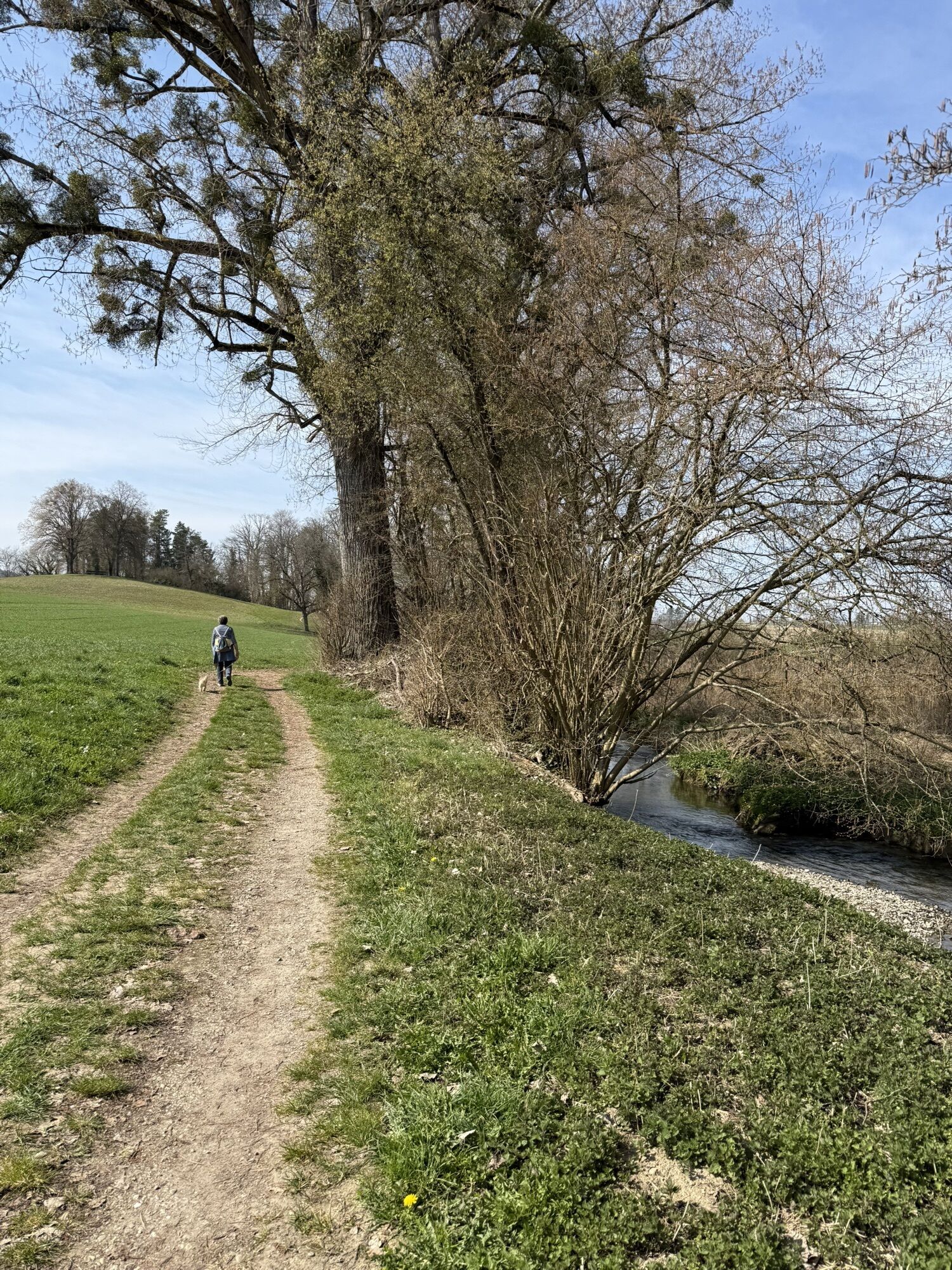
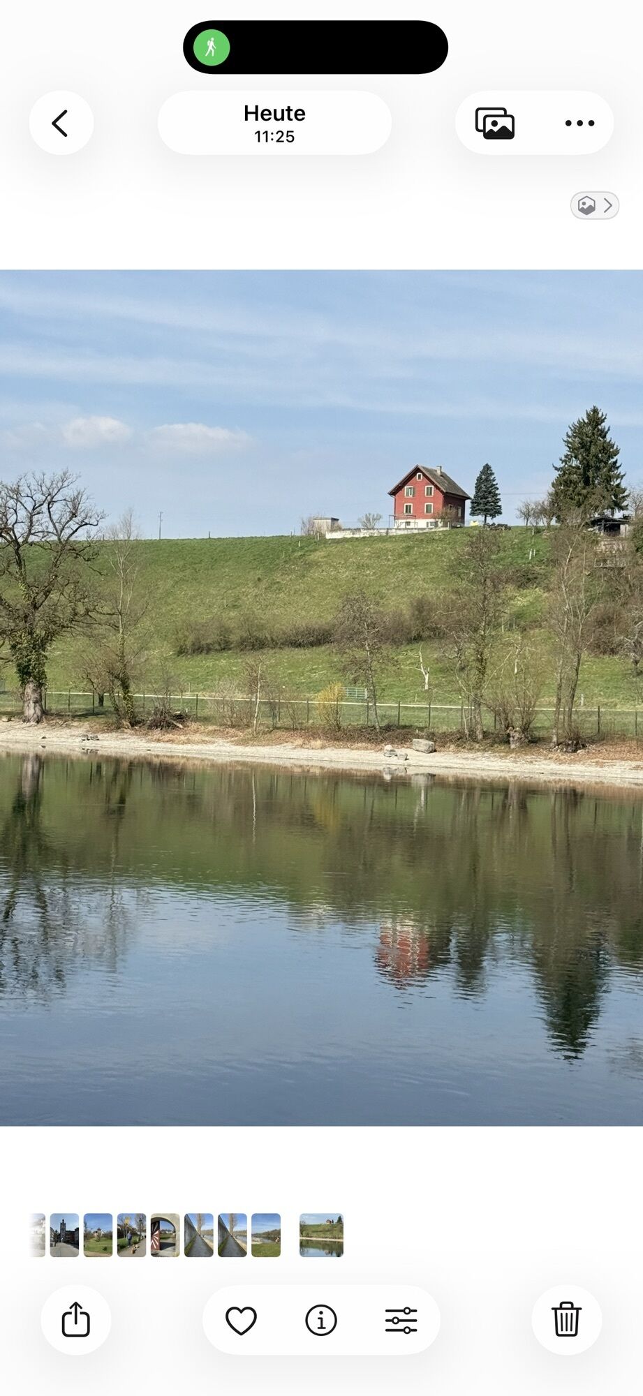
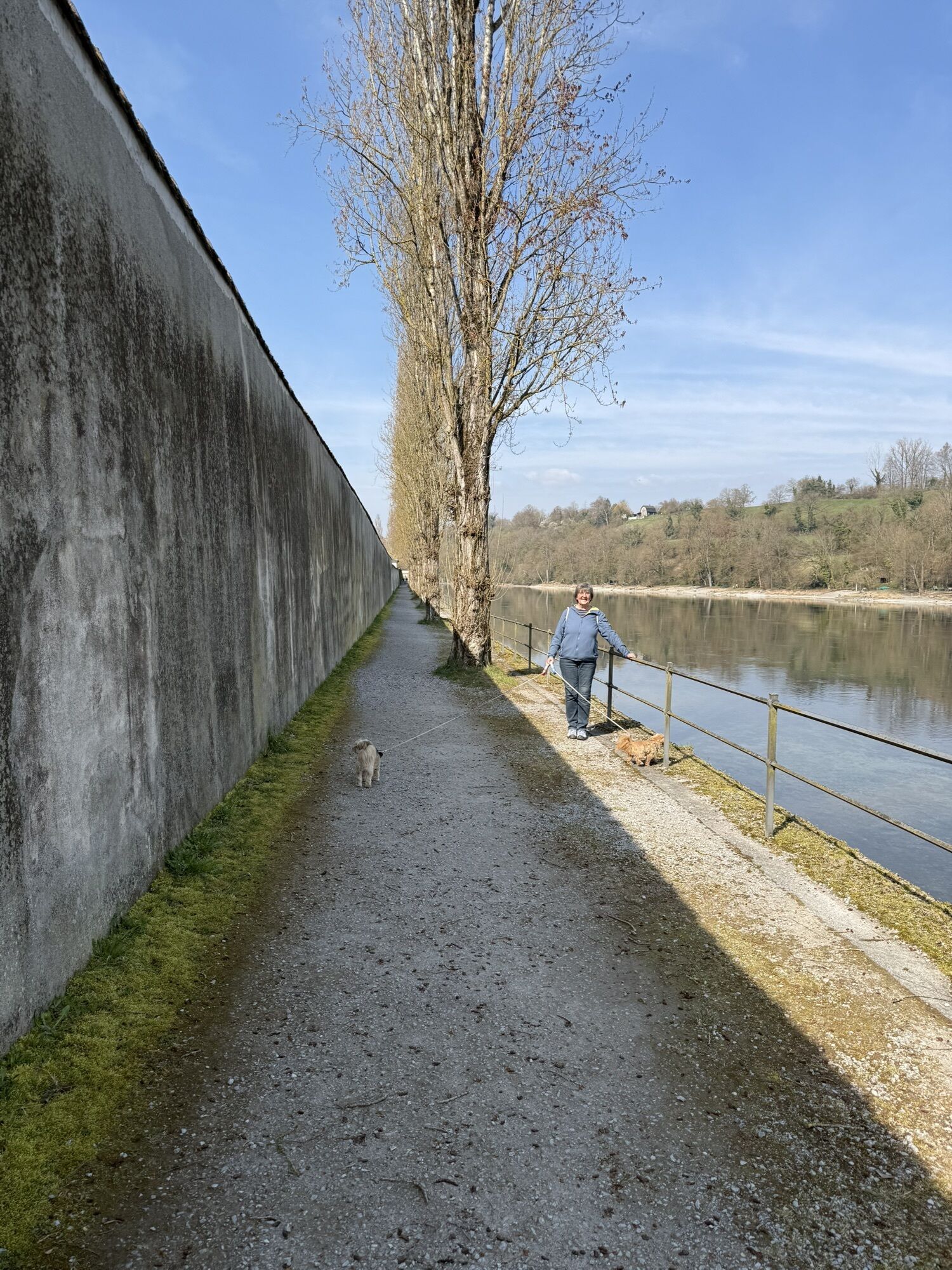
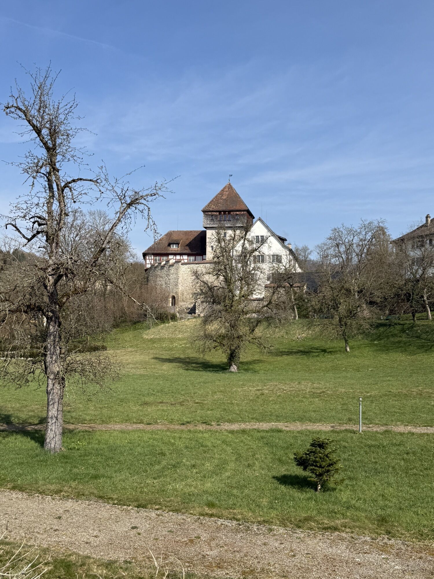
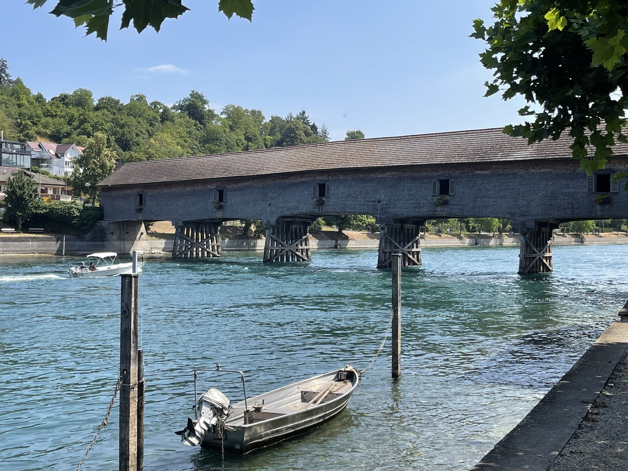
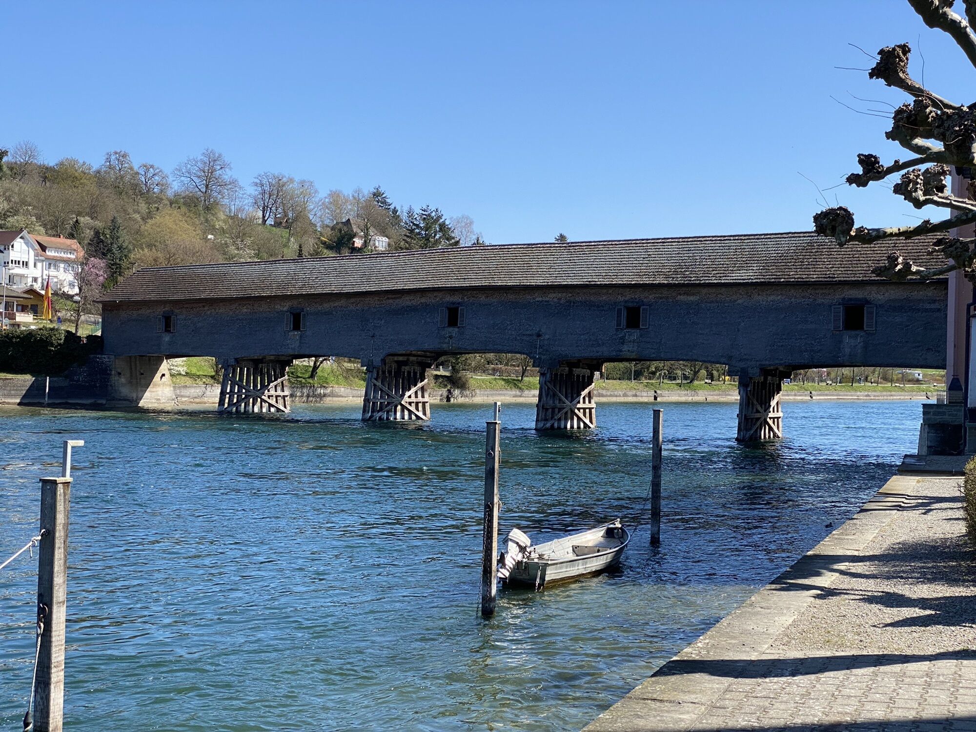
The circular hike starts on the German Rhine side, in Gailingen am Hochrhein. After crossing the wooden Rhine bridge, you are already on Swiss soil and now hike downstream towards Schaffhausen. After about...
The circular hike starts on the German Rhine side, in Gailingen am Hochrhein. After crossing the wooden Rhine bridge, you are already on Swiss soil and now hike downstream towards Schaffhausen. After about half the hike, you reach "Paradies", where you can refresh yourself in the inn. From there, a ferry takes you to the other side of the river to Germany. Then you hike back upstream until you finally reach your starting point, the Rhine bridge in Gailingen am Hochrhein.


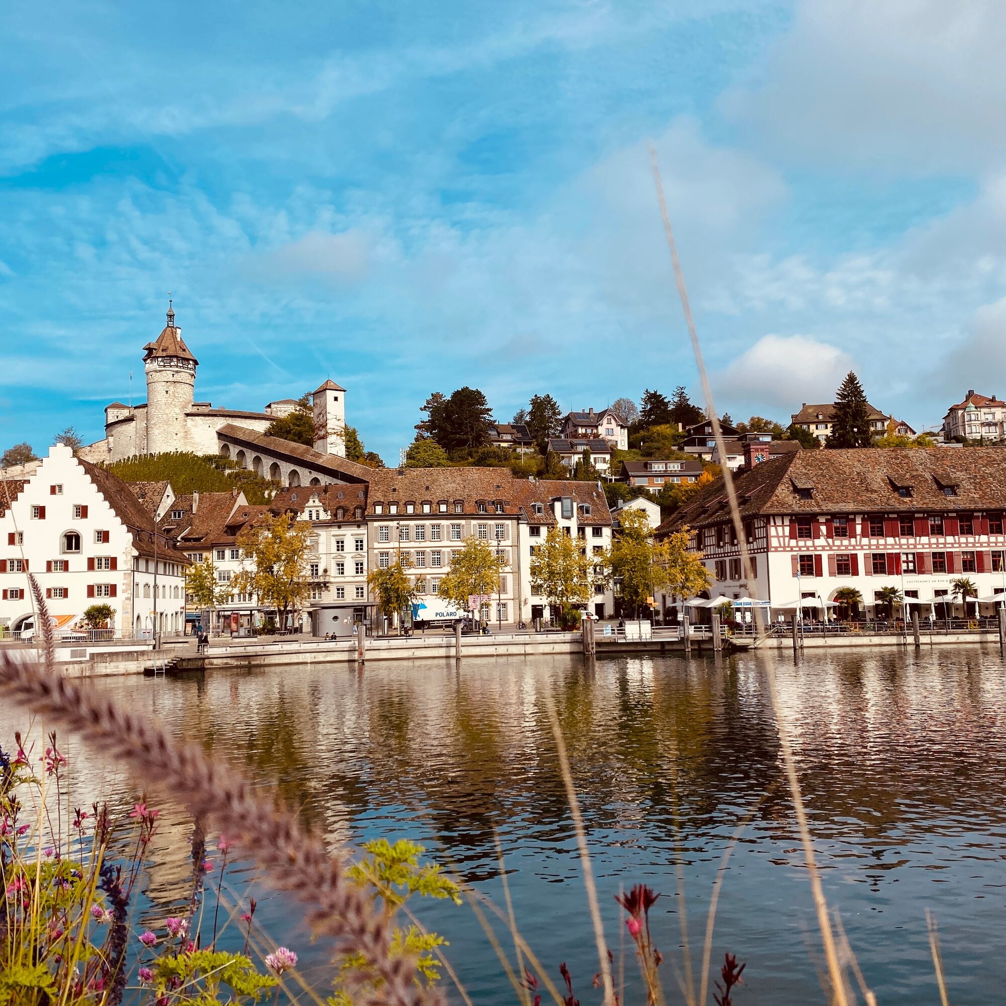

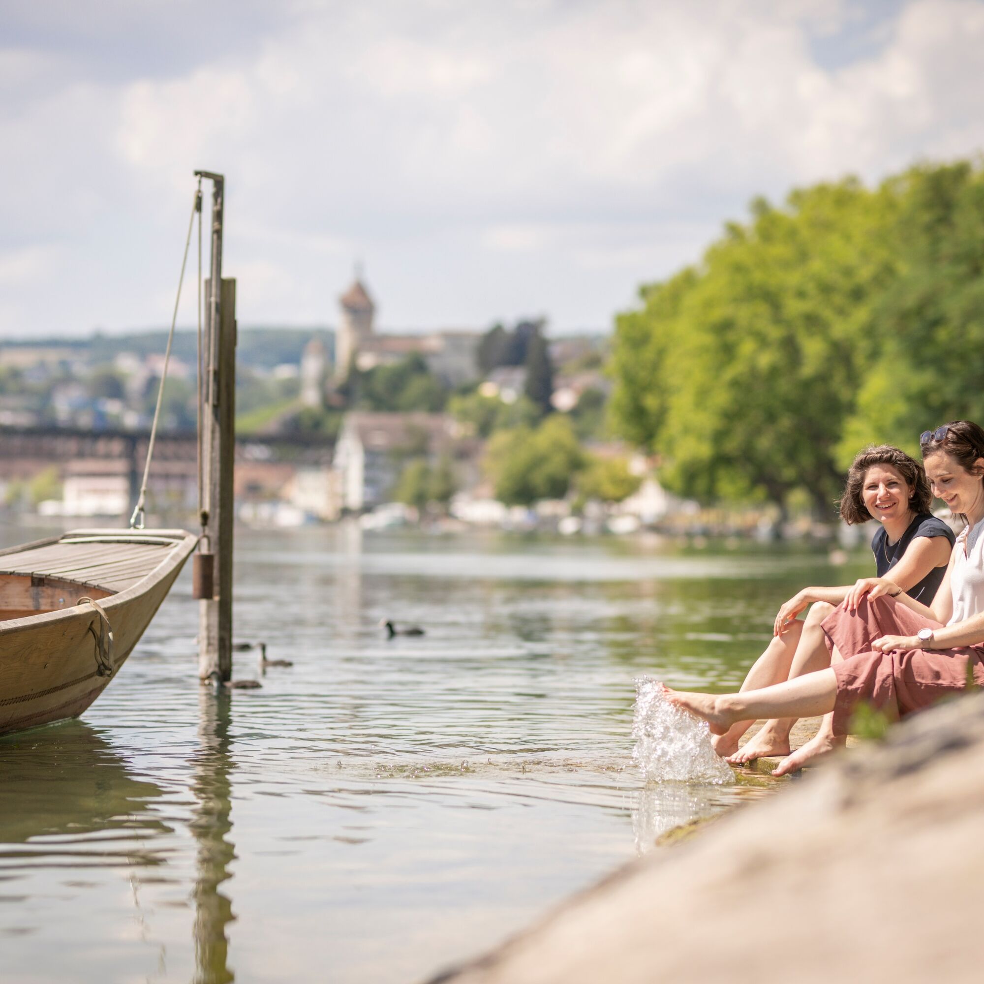


Gailingen - Diessenhofen (CH) - Paradies (CH) - Gailingen
The starting point of the hike is the Rhine bridge (covered wooden bridge) between Gailingen and Diessenhofen. We cross the bridge to Diessenhofen and immediately turn sharply right just behind the bridge (yellow sign "Katharinental"). The hiking trail first leads along the Rhine bank, then briefly to the left, and then back to the right to the Rhine bank. The turn-off from the paved path is about 50 m after the building "Pontoniere Diessenhofen". If we now follow the yellow sign "hiking trail" downstream along the Rhine, we can hardly miss the path. Except during high water, it is nicer to walk along the Rhine bank at three points. At the third turn-off "Rhine bank path" we walk through the Schaarenwies nature reserve. Behind this nature reserve, we bypass a small private property and then continue along the shore until we are led to the left along a side arm. We pass a "aviary", keep right after a wooden bridge, and continue along the shore. Already at the height of the former Paradies monastery, we climb some wooden stairs, cross over a hilltop, along the park wall, and then reach a parking lot at the entrance to "Paradies". From there, we go down the paved road on the right and meet a half-timbered building, the "Paradies" inn, a place to stop. Just behind the inn, a ferry takes us across the Rhine (operating year-round). On the other side of the Rhine, we go right on cycle path no. 14 towards Büsingen. From where the cycle path ends, we continue on the sidewalk along the main street through Büsingen (there are various places to eat in Büsingen). Where the main street turns left (sign "Herblingen"), we leave it and go right (past a lottery outlet). Our yellow sign "hiking trail" now leads us back to our destination. Along the way, we pass the boat landing, bypass the beach bath and a side arm of the Rhine. Further back in the forest corner, we turn right to the Rhine and now stay on the Rhine bank first on a pure hiking trail, later on a paved forest or meadow path that about 500 m before our destination leads us to the Gailingen-Dörflingen road. On this road, we continue fully back to our starting point. Note(s): Difficulty level: easy, no elevation differences. Special features: consistently magnificent shore path along the Rhine, former monasteries Katharinental and Paradies. ID card required.
Comfortable footwear, drinks and snacks for in between.
The route runs along the Rhine.
Starting point Rhine bridge, Gailingen am Hochrhein (DE)
Route planner
Easy travel from Schaffhausen to Diessenhofen. The route can also be started in Diessenhofen (Gailingen DE is on the other side of the Rhine).
Stop: Diessenhofen train station.
Connection to Schaffhausen: every half hour.
Parking spaces are available at the Gailingen swimming pool (paid).
Schaudepot, St. Katharinental
Ferry Paradies, Schlatt
Beach Bath, Büsingen
Pridobite vpogled
Vedno v živo na mestu z več kot 9.500 spletnimi kamerami. bergfex Kot uporabnik Pro si lahko zdaj ogledate ustrezne spletne kamere za številne izlete v aplikaciji izleti iz. Tako si lahko neposredno ogledate trenutne razmere.
Priljubljeni izleti v okolici
-
4.6
Small Rheinfall Circular Route
svetlobaPohodništvo 3.48 km -
4.8
Flaach - Ellikon - Flaach
Pohodništvo 12.0 km -
4.8
Rundwanderweg Rheinau
svetlobaPohodništvo 6.85 km -
Circular hike Schaffhausen - Rhine Falls - Schaffhausen
srednjaPohodništvo 10.0 km -
5.0
Circular hike over the Hinterranden
srednjaPohodništvo 11.0 km -
SwitzerlandMobility 896: Rhine Falls Circular Route
srednjaPohodništvo 7.12 km -
4.5
Nature trail Merishausen: Brown route
srednjaTematska pot 11.4 km -
4.5
SchweizMobil 593: Nordspitze Panoramaweg
srednjaPohodništvo 13.7 km -
Stein am Rhein - Hohenklingen Castle - Stein am Rhein
srednjaPohodništvo 7.79 km -
5.0
"Hegauer Kegelspiel" Hohentwieler
srednjaPohodništvo 7.21 km
Pohodništvo in sledenje


Ne zamudite ponudb in navdiha za naslednje počitnice
Vaš e-poštni naslov je bil dodan na poštni seznam.





