



Panoramic Loop Trail

Stopnja težavnosti: T1
The town of Wiesensteig is picturesquely nestled among the steep slopes of the Swabian Alb and is a state-recognized resort town.
An extensive network of hiking trails crisscrosses the Alb plateau, offering...
The town of Wiesensteig is picturesquely nestled among the steep slopes of the Swabian Alb and is a state-recognized resort town.
An extensive network of hiking trails crisscrosses the Alb plateau, offering both casual strollers and avid hikers beautiful hiking opportunities with attractive viewpoints (the “Steinernes Weib” rock spire).
A popular destination for young and old alike is the source of the Fils River. The river springs from an idyllic valley and winds its way past beautiful meadows. For many centuries, Wiesensteig has delighted visitors with its apparent unspoiled nature, rustic charm, and the hospitality of its residents.
Town of Wiesensteig
Hauptstraße 25 | 73349 Wiesensteig
07335 9620-0 | info@wiesensteig.de | www.wiesensteig.de

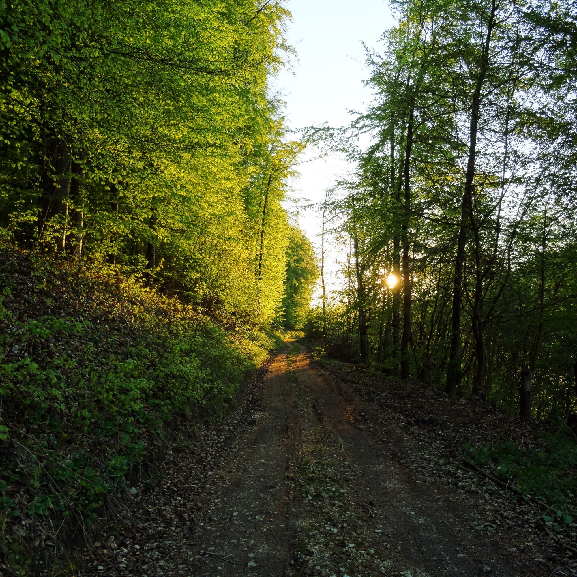
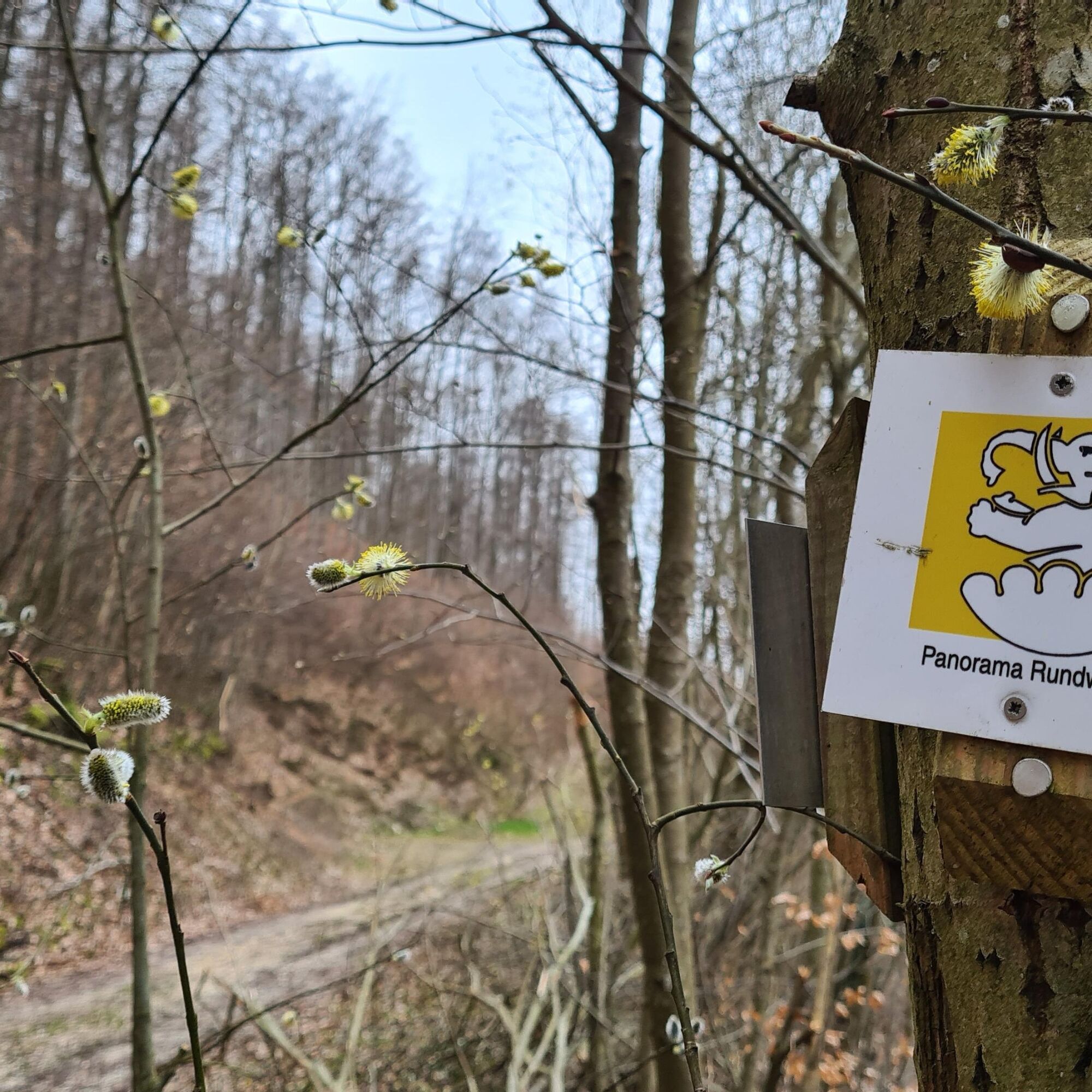
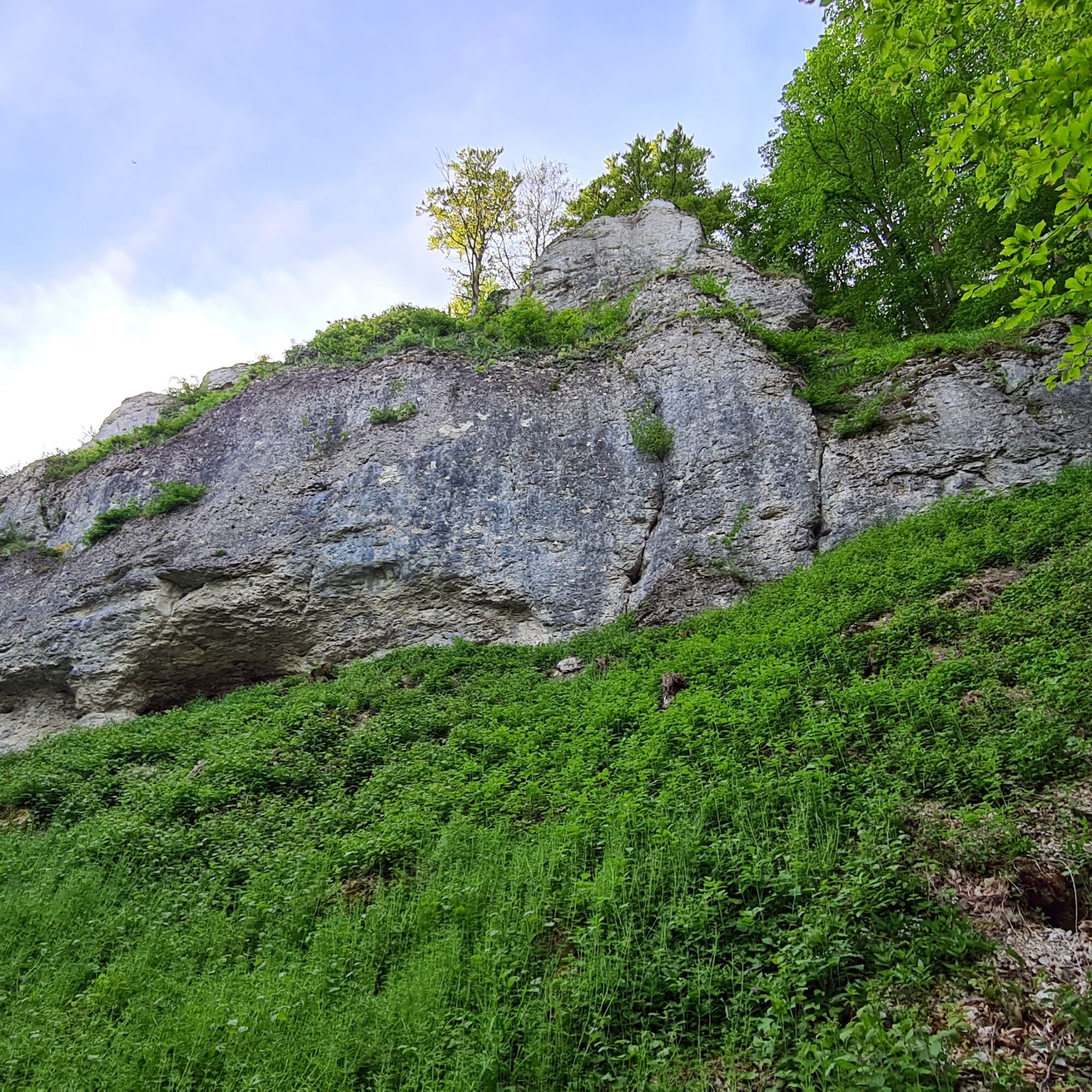
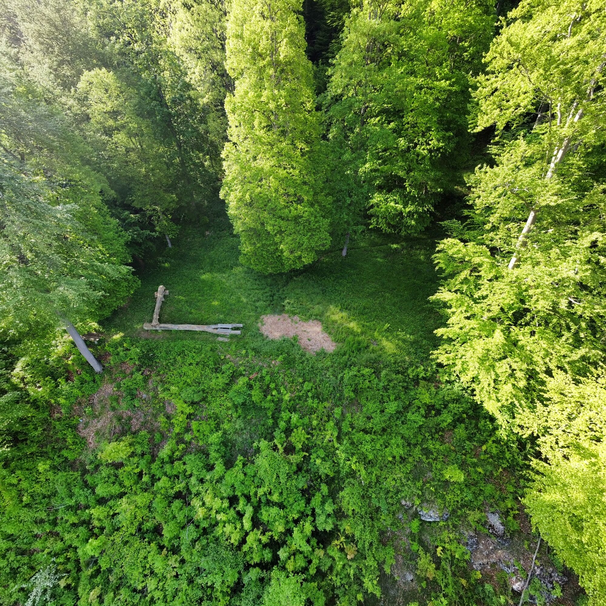
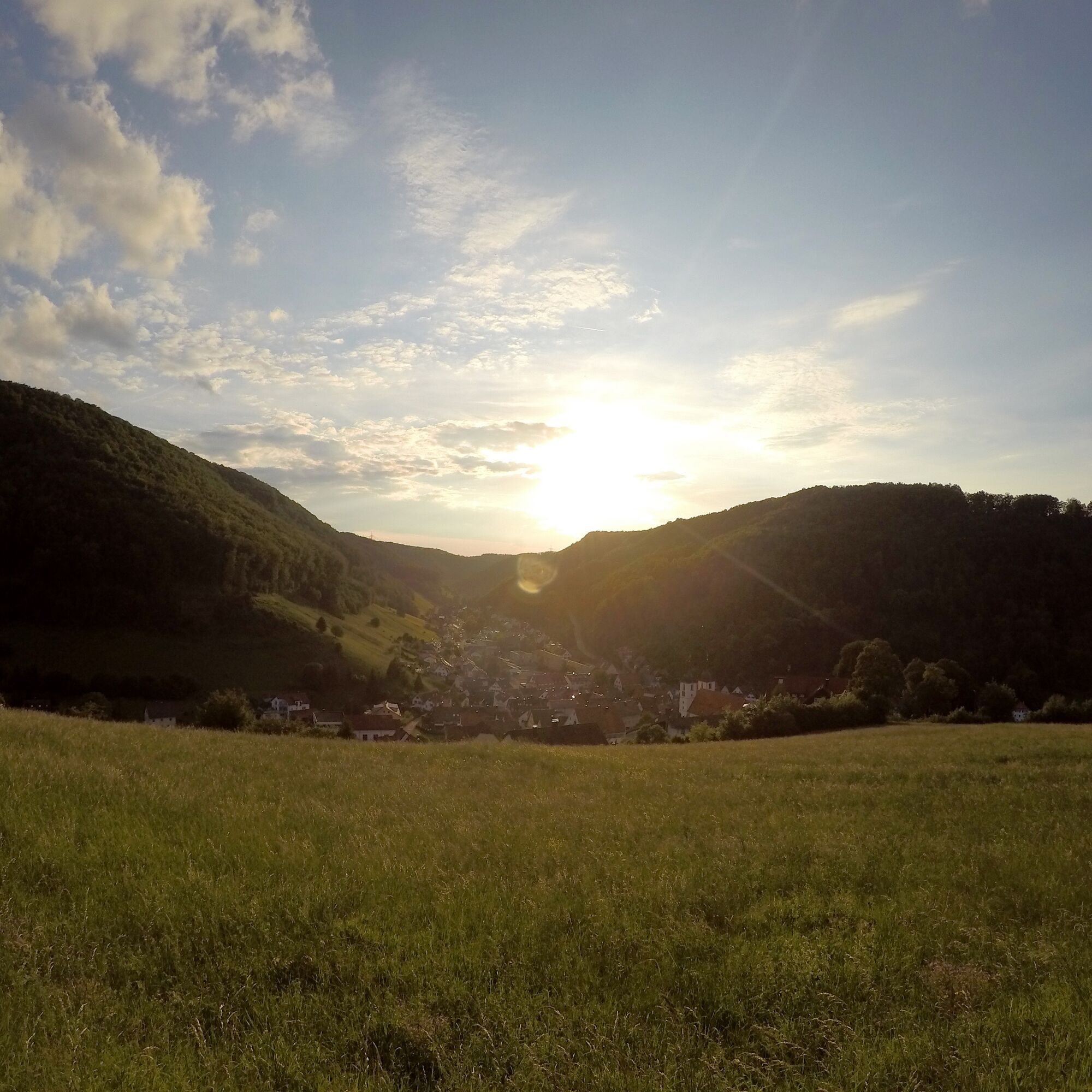

We start the hike at the castle parking lot and, a short time later, find ourselves in the heart of the historic city center. Passing the St. Cyriakus Collegiate Church, we head toward Gießbachstraße and up Hans-Baumeister-Weg, which soon reveals the first breathtaking views of Wiesensteig.
The trail then takes us back to the edge of the town and past the municipal outdoor pool. At the last houses, we head up the old path into the forest, which also takes us along a section of the Wiesensteig Geopath. This trail runs along the Sommerberg, offering views of rock formations millions of years old. The trail then continues through the beech forest up to the Alb plateau. There, we reach the Kreuzkapelle chapel, which offers a fantastic panoramic view, before heading back through the forest to the starting point.
Da
Wear sturdy, non-slip shoes and weather-appropriate clothing. A backpack with water, snacks, and a first-aid kit is recommended.
Wiesensteig is located directly off the A8 Stuttgart-Munich highway: take the Wiesensteig/Mühlhausen exit. From Mühlhausen im Täle, it’s another 4 km to Wiesensteig.
Take the RE 5 or MEX 16 from Stuttgart or Ulm to Geislingen/Steige. From there, take bus line 966 to the "Wiesensteig, Postamt" stop.
Alternatively, take the RE 5 or MEX 16 from Stuttgart or Ulm to Göppingen. From there, bus line 981 also goes to the “Wiesensteig, Postamt” stop.
You can find the district schedule at: www.vvs.de/fahrplan
Parking spaces are available at the castle parking lot.
T1
Respectful Coexistence in the Göppingen District.
Code of Conduct:
Respect trail closures and the quiet zones established in the recreational trail plan. Leave no trace—such as trash or animal waste—and treat the trail with care. Be proactive and considerate. Adapt your behavior to the situation at hand. Safety comes first. Respect other users of the woods and open fields. Be considerate of animals and plants. Plan ahead and make the most of daylight. Try to avoid the early morning and evening twilight hours. Observe the ban on entering agricultural land during the growing season. Stay on marked trails and avoid forest edges; this helps wildlife get used to people.For more information, visit ruecksicht-macht-wege-breiter.de
A visit to the historic Wiesensteig Palace is especially worthwhile
Wiesensteig Valley Baths

Priljubljeni izleti v okolici
-
4.5
Lion Trail "Orchid Trail" - Herbs, pasqueflowers, and juniper heaths
srednjaPohodništvo 9.33 km -
5.0
Lion trail "Berta-Hörnle-Tour" - castle stories in a dreamlike setting
težkoPohodništvo 14.7 km -
5.0
Boßler Round
srednjaPohodništvo 8.61 km -
3.7
Löwenpfad "Wasserberg-Runde" - pure panorama and typical Swabian Jura landscapes
težkoPohodništvo 12.0 km -
5.0
Breitensteinrunde
svetlobaPohodništvo 10.3 km -
5.0
Owen - Teckberg - Brucker Hölzle - Hörnle
težkoPohodništvo 13.1 km -
3.8
Lion trail "Ave-Weg" - A touch of pilgrimage on the Albtrauf
srednjaPohodništvo 8.65 km -
Löwenpfad "Höhenrunde" - Hiltenburg and the Albtrauf in its purest form
srednjaPohodništvo 10.7 km -
1.0
Nordalbrunde
srednjaPohodništvo 4.76 km -
5.0
Lenningen: Weiße Lauter, Wasserfels, Guttenberger-,Gußmannshöhle, Schopflocher Moor, Hohgreutfels, Ruine Wielandstein
srednjaPohodništvo 15.7 km
Pohodništvo in sledenje


Ne zamudite ponudb in navdiha za naslednje počitnice
Vaš e-poštni naslov je bil dodan na poštni seznam.


