







FREI.GANG Schiltach: Mooskapf-Lehenwald route


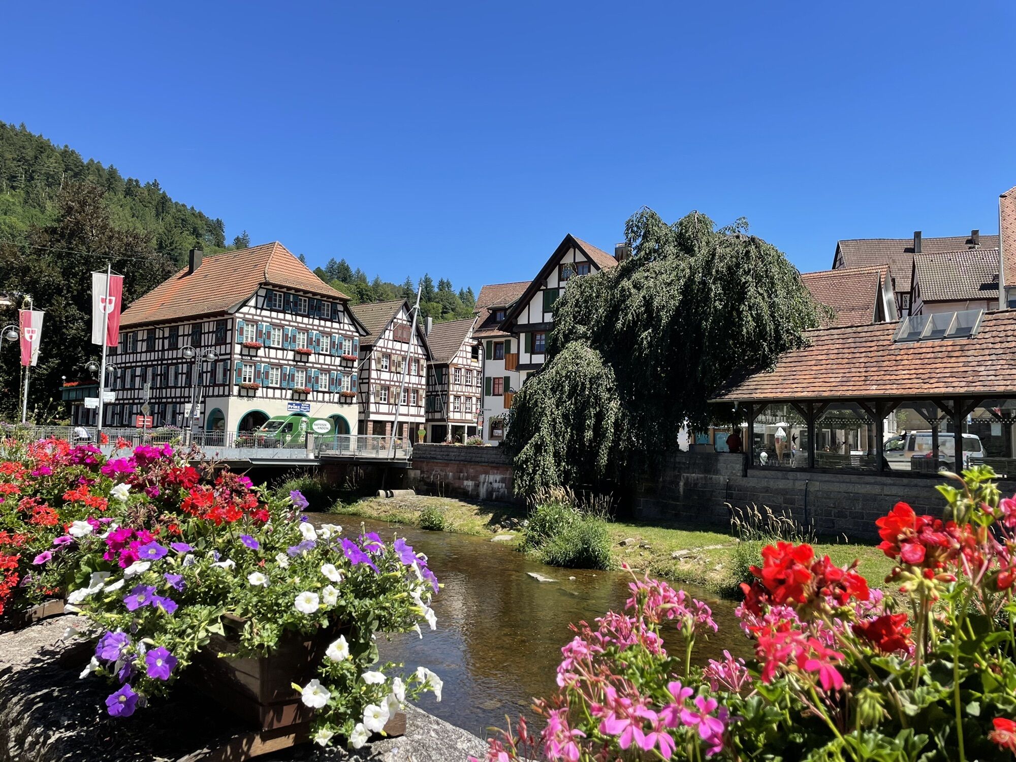
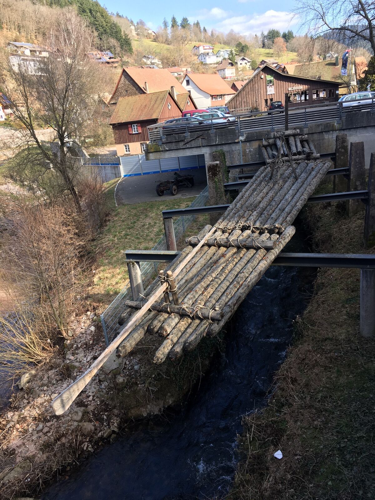
Our FREI.GÄNGE give you freedom. The FREI.GÄNGE invite you to explore lesser-known destinations and paths and thus discover nature in and around Schiltach and Schramberg stress-free and safely.
Following...
Our FREI.GÄNGE give you freedom. The FREI.GÄNGE invite you to explore lesser-known destinations and paths and thus discover nature in and around Schiltach and Schramberg stress-free and safely.
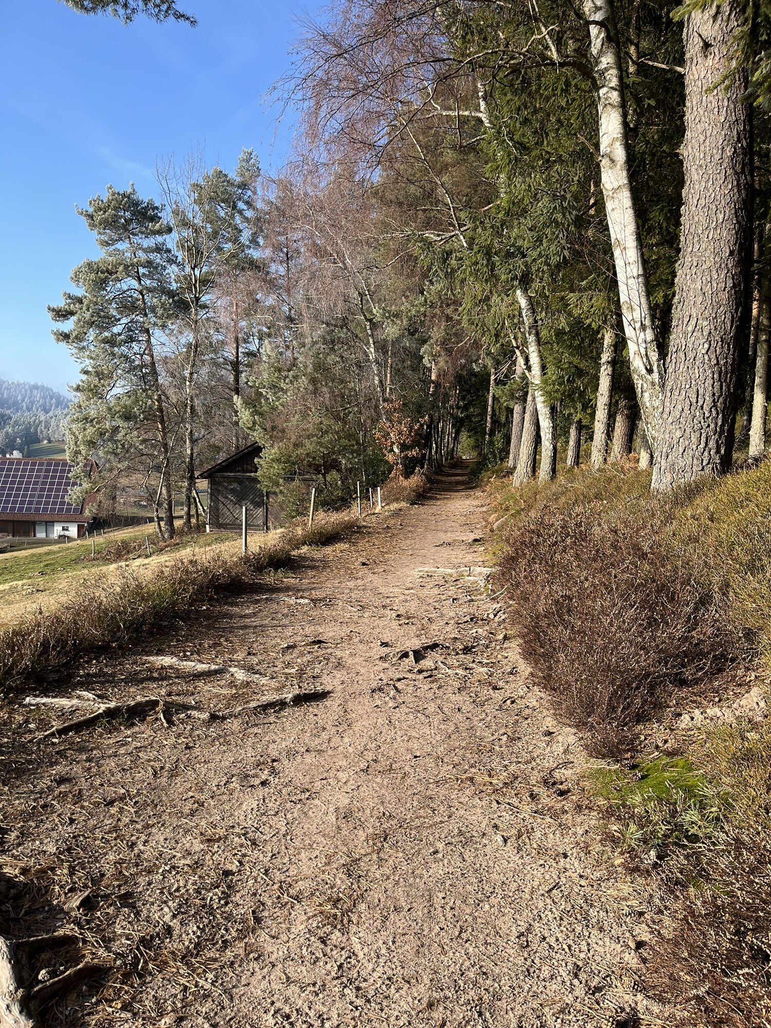
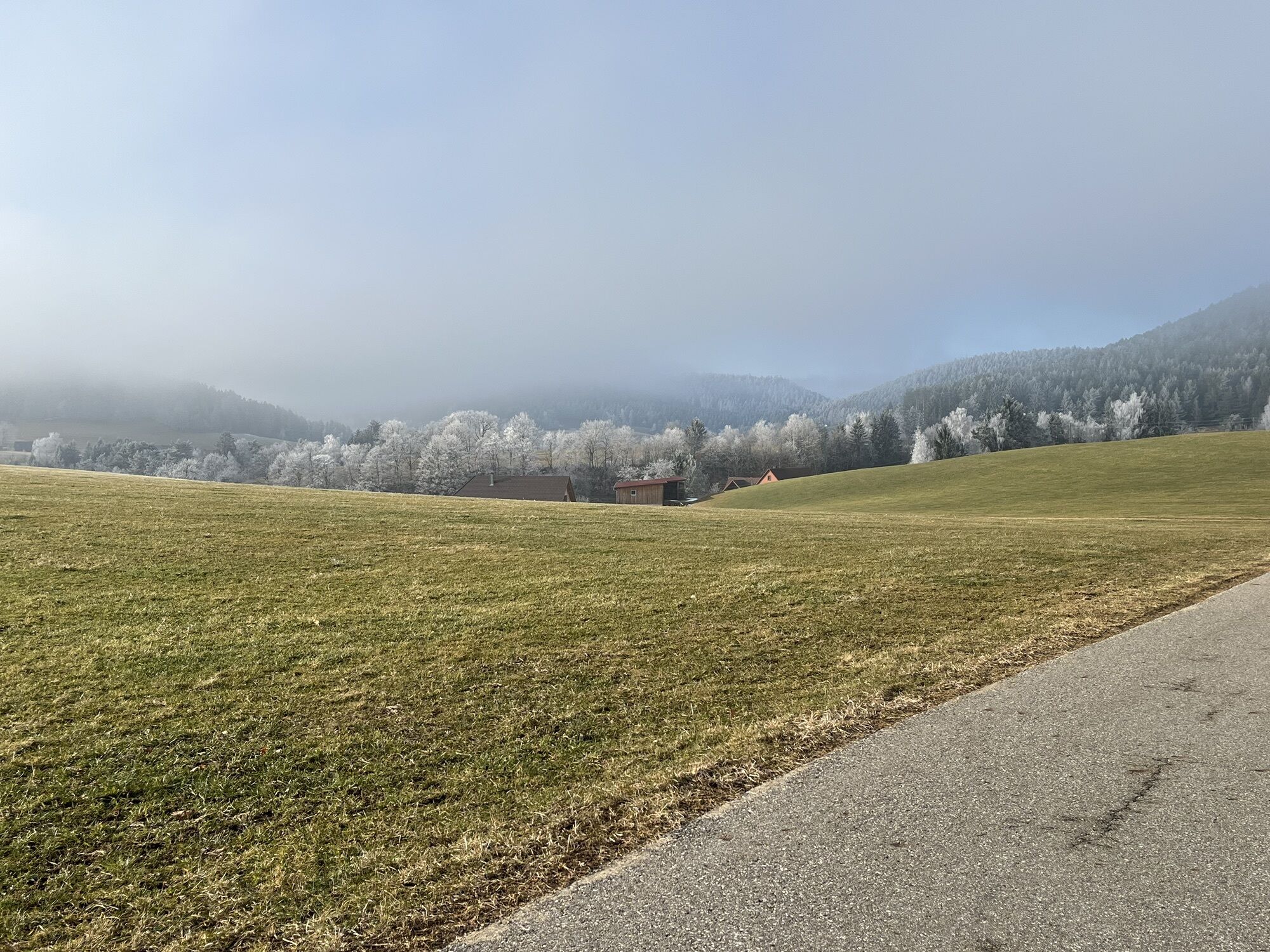
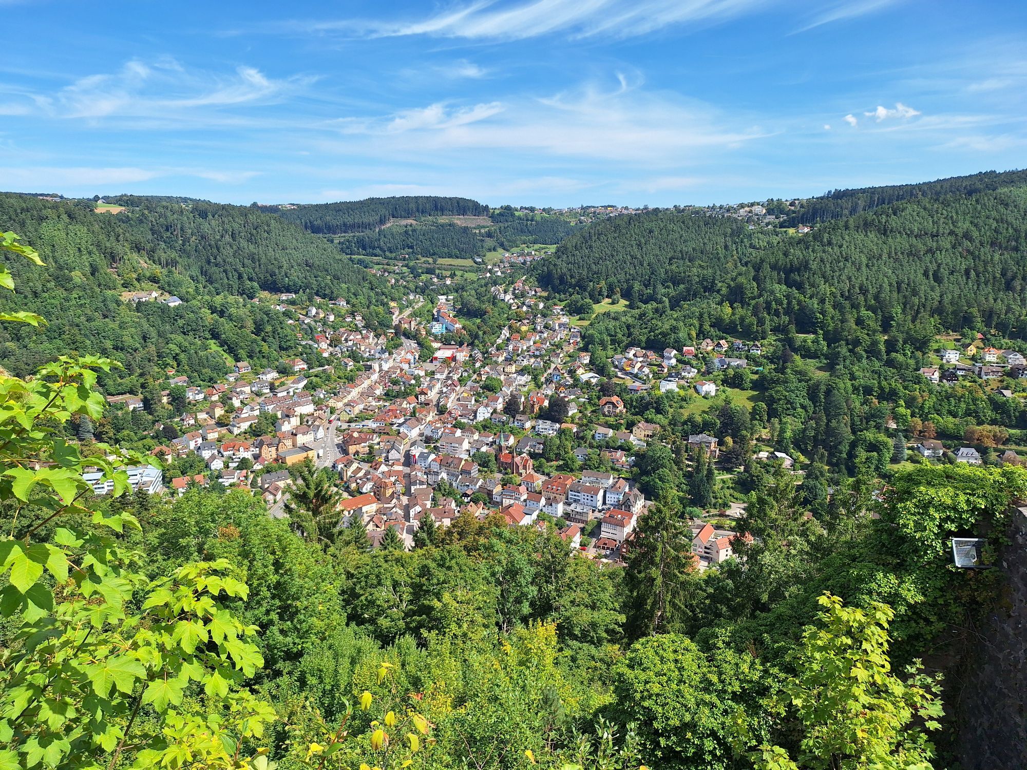
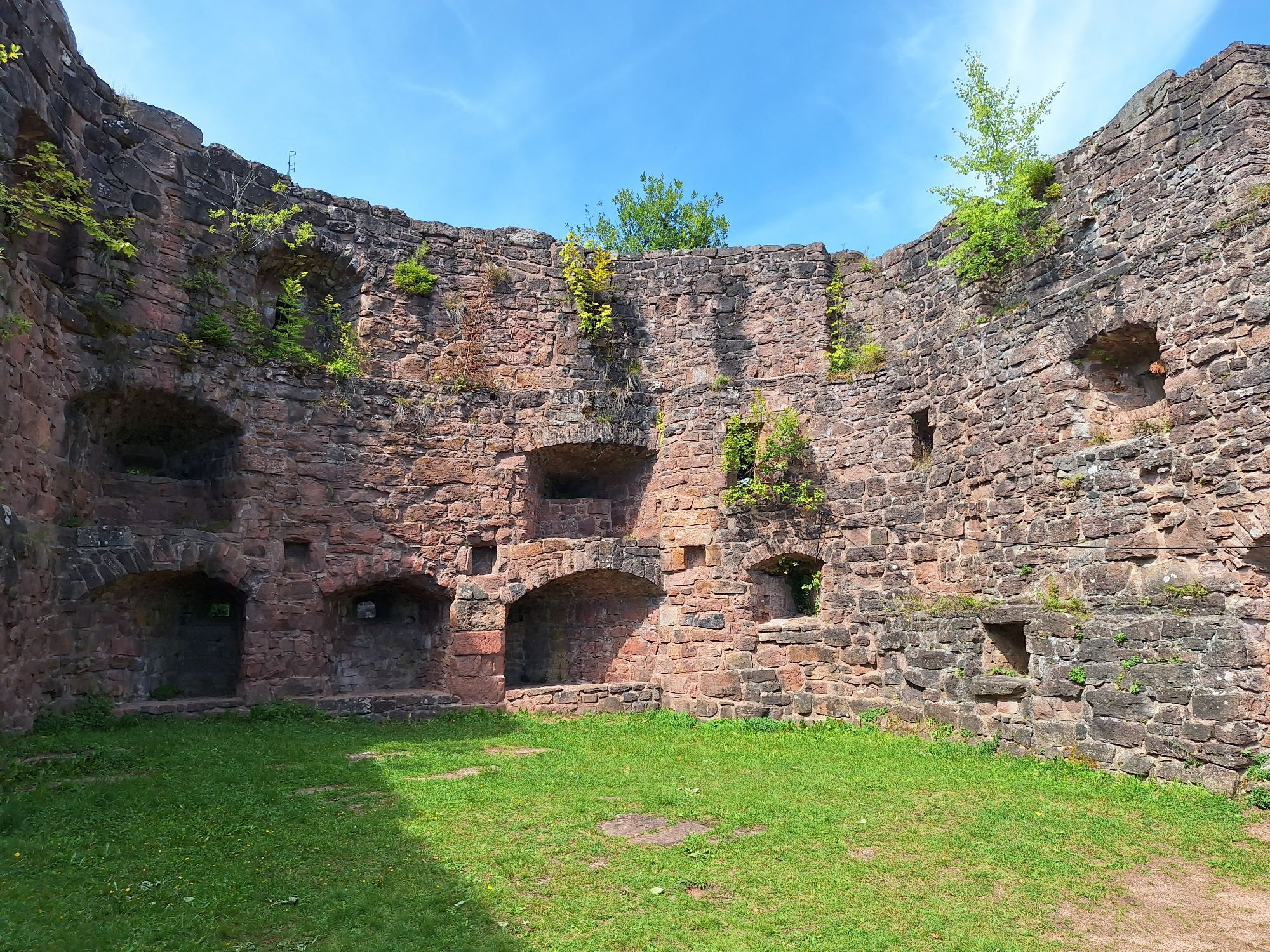
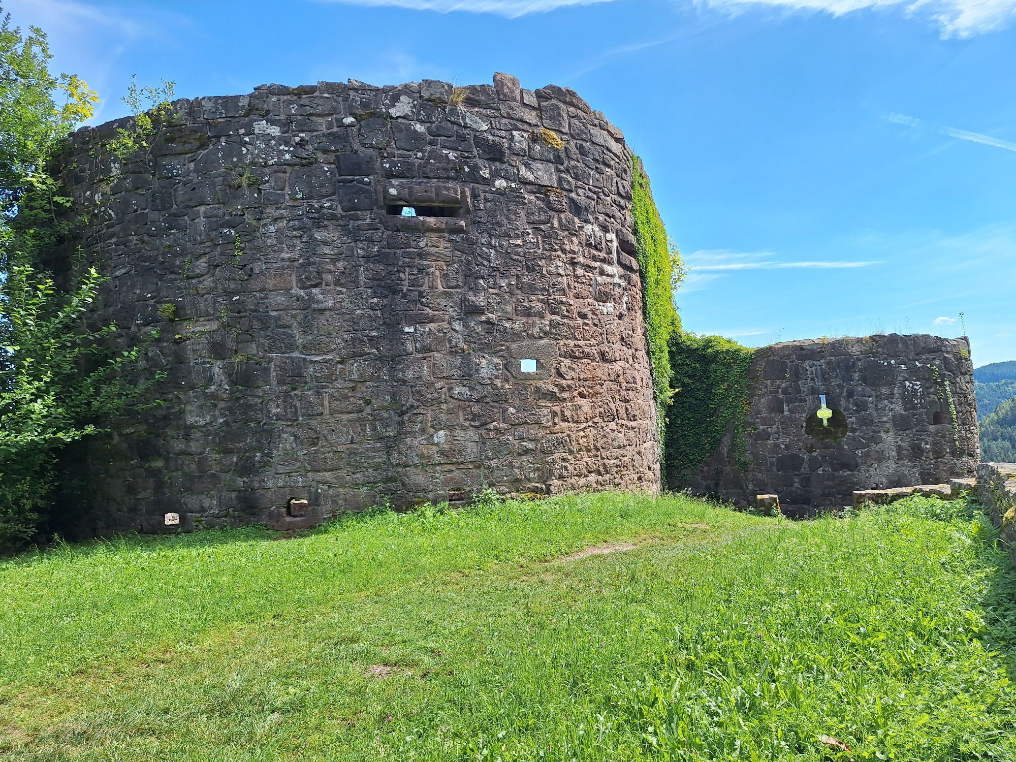
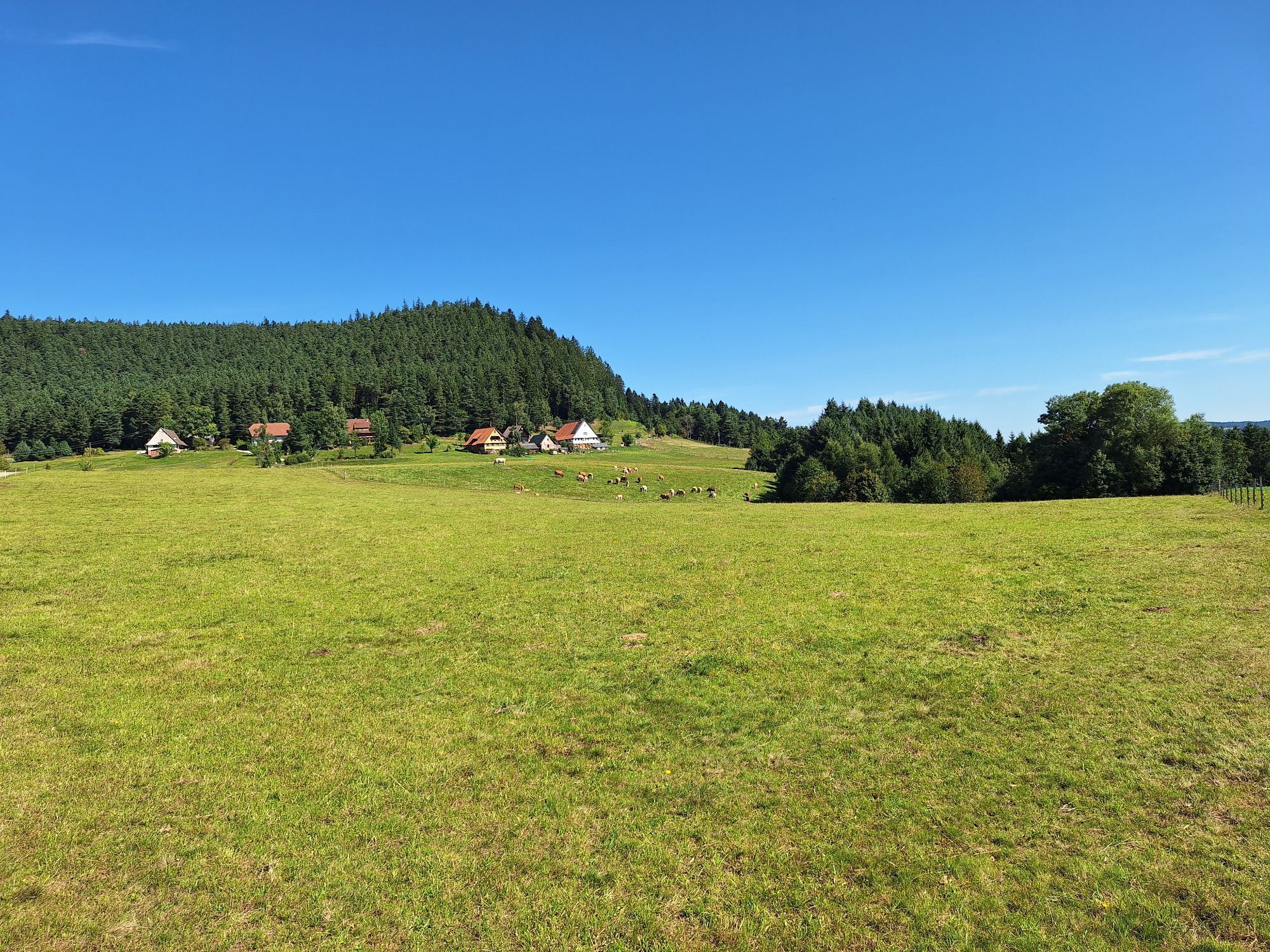
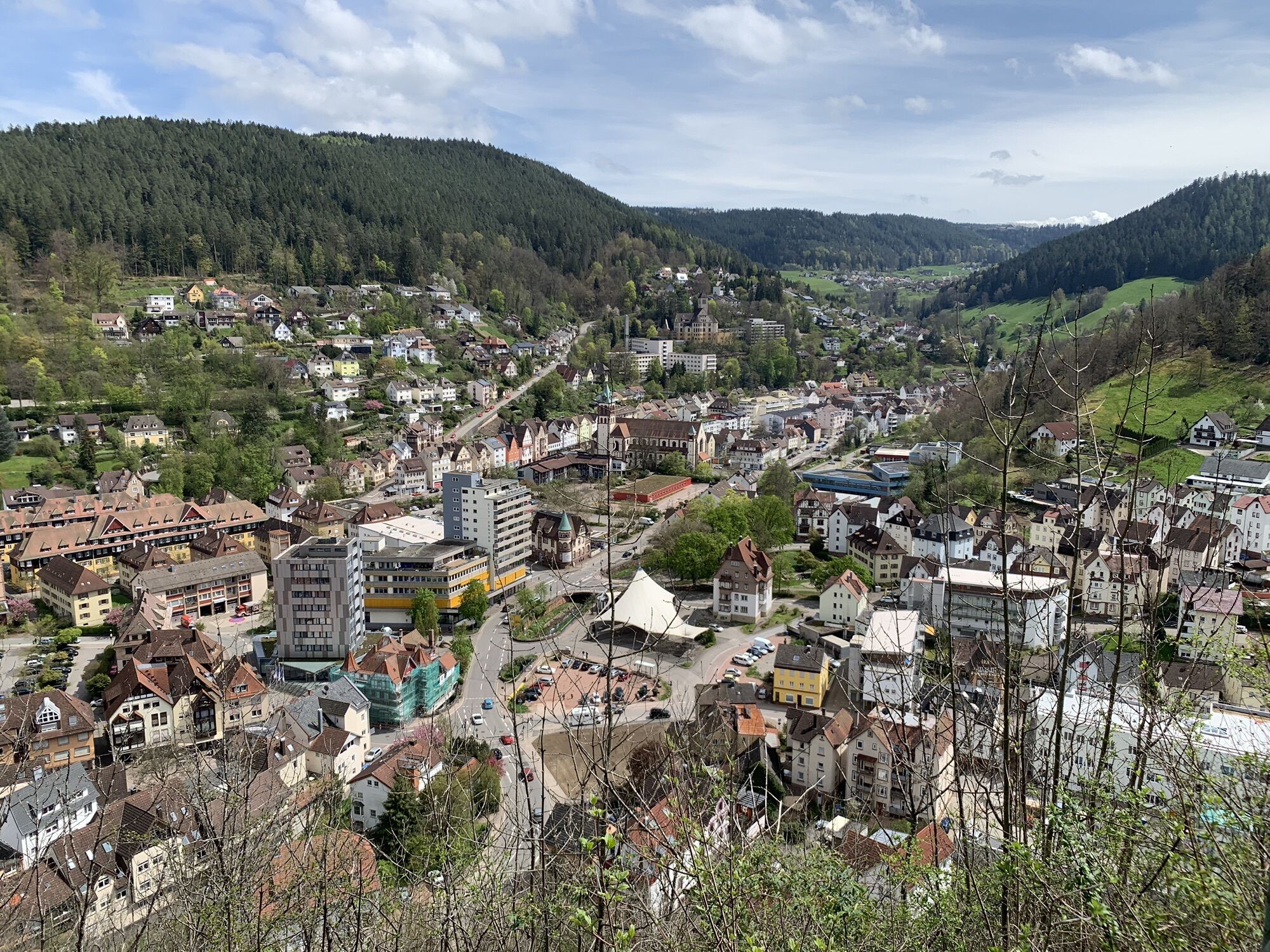
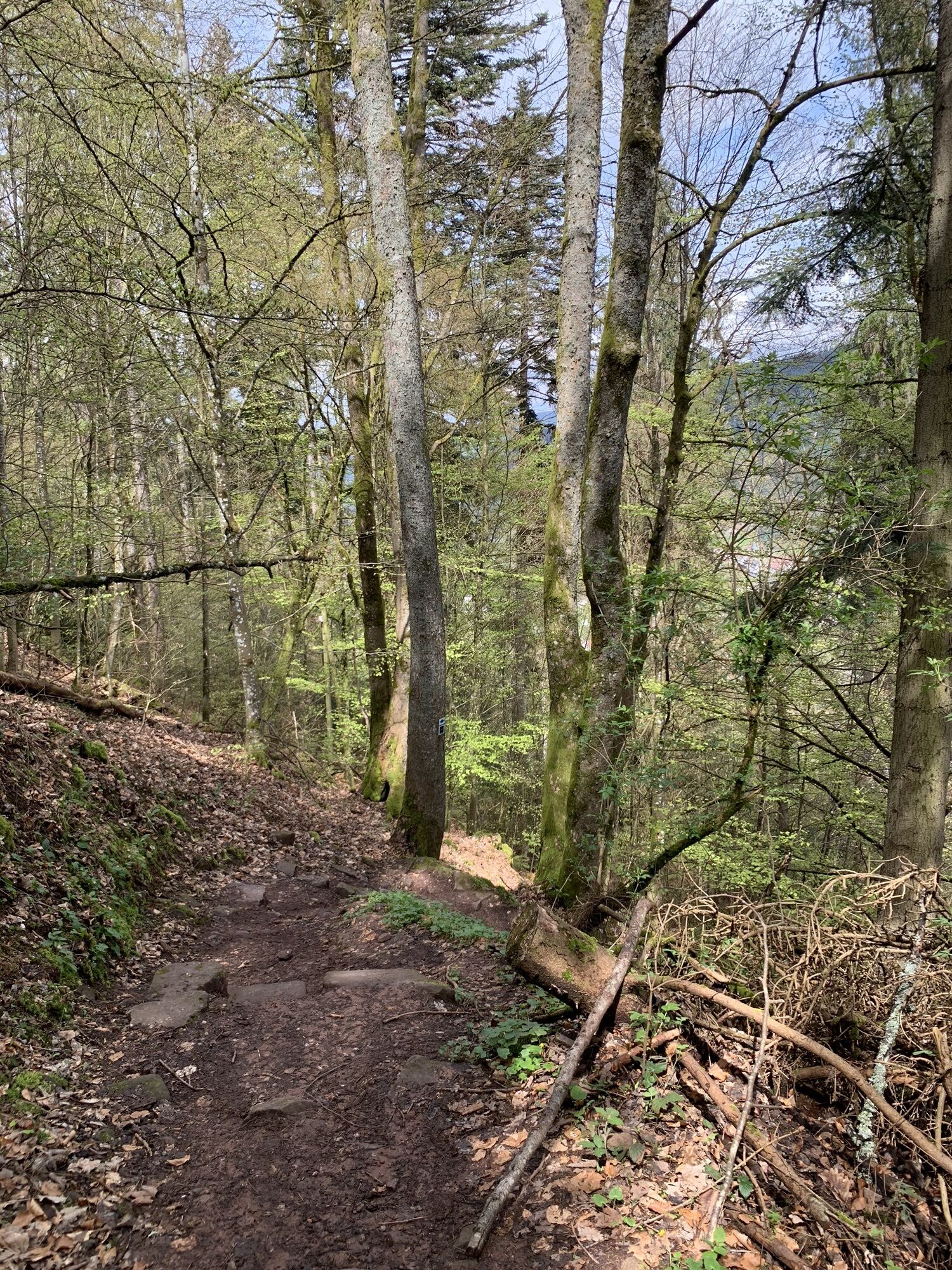
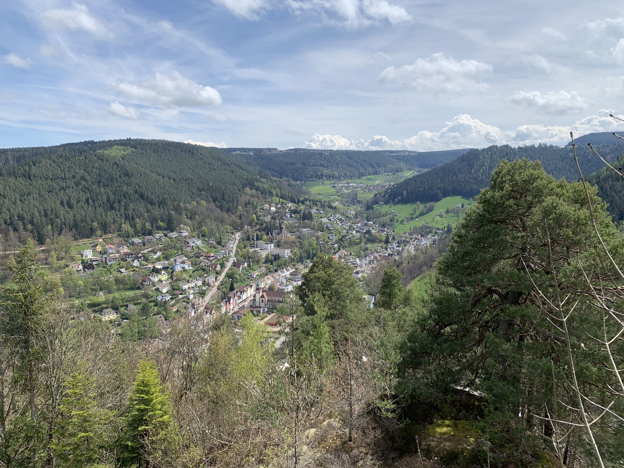
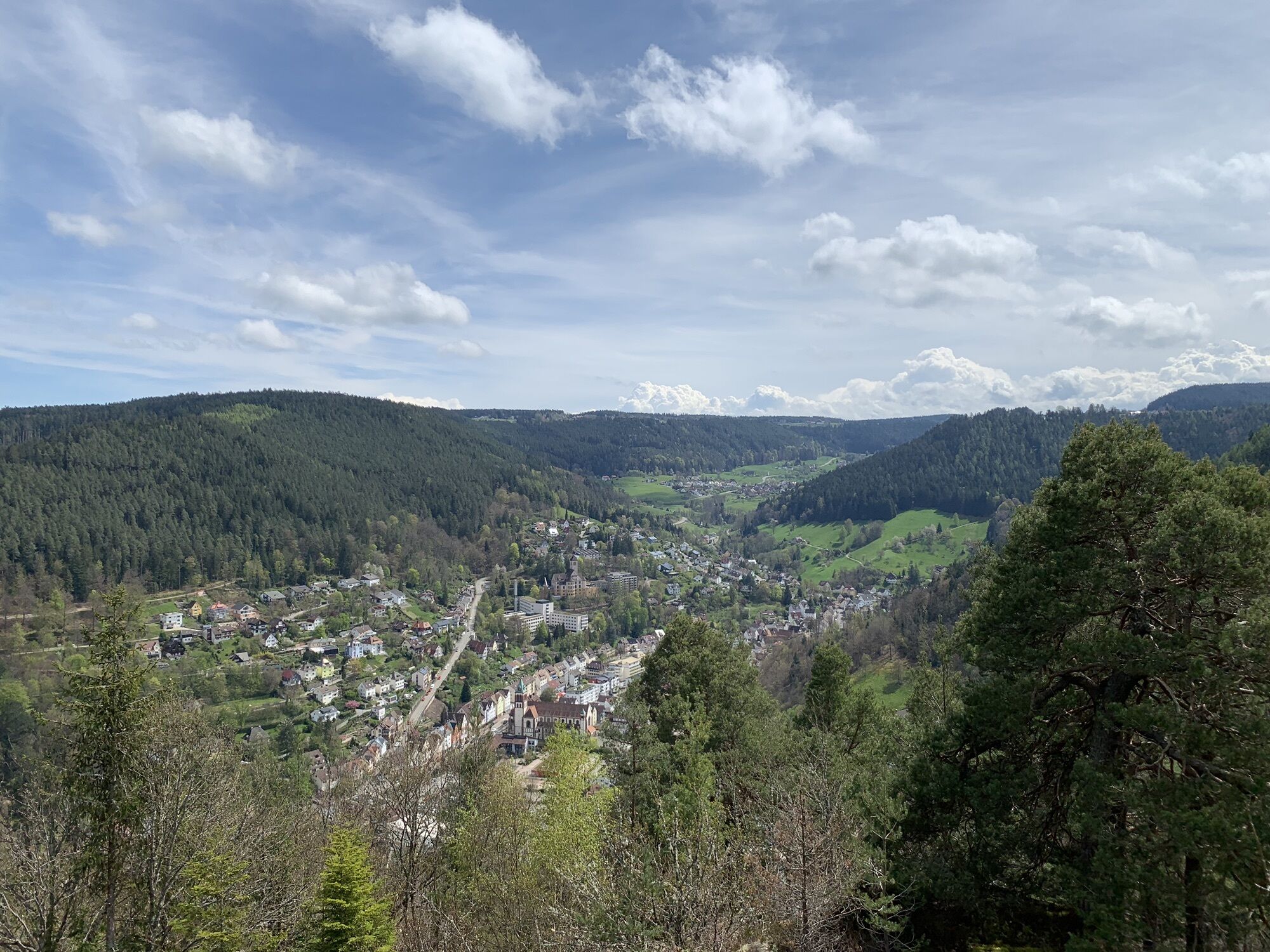
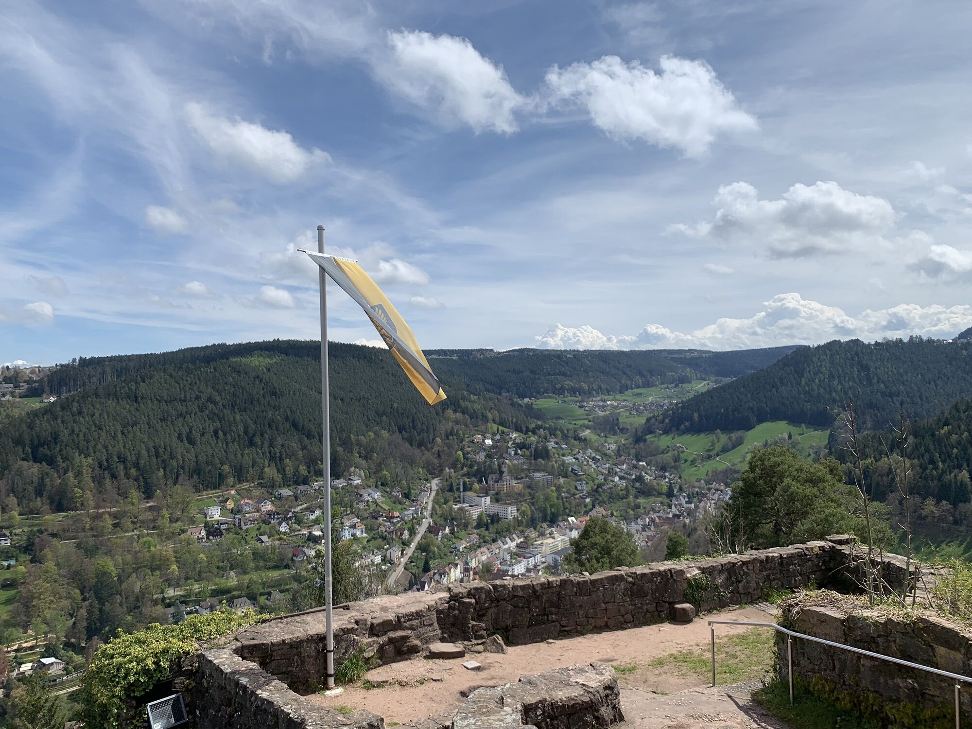
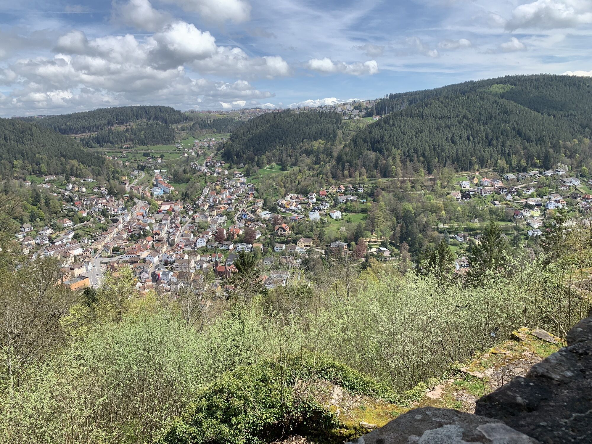
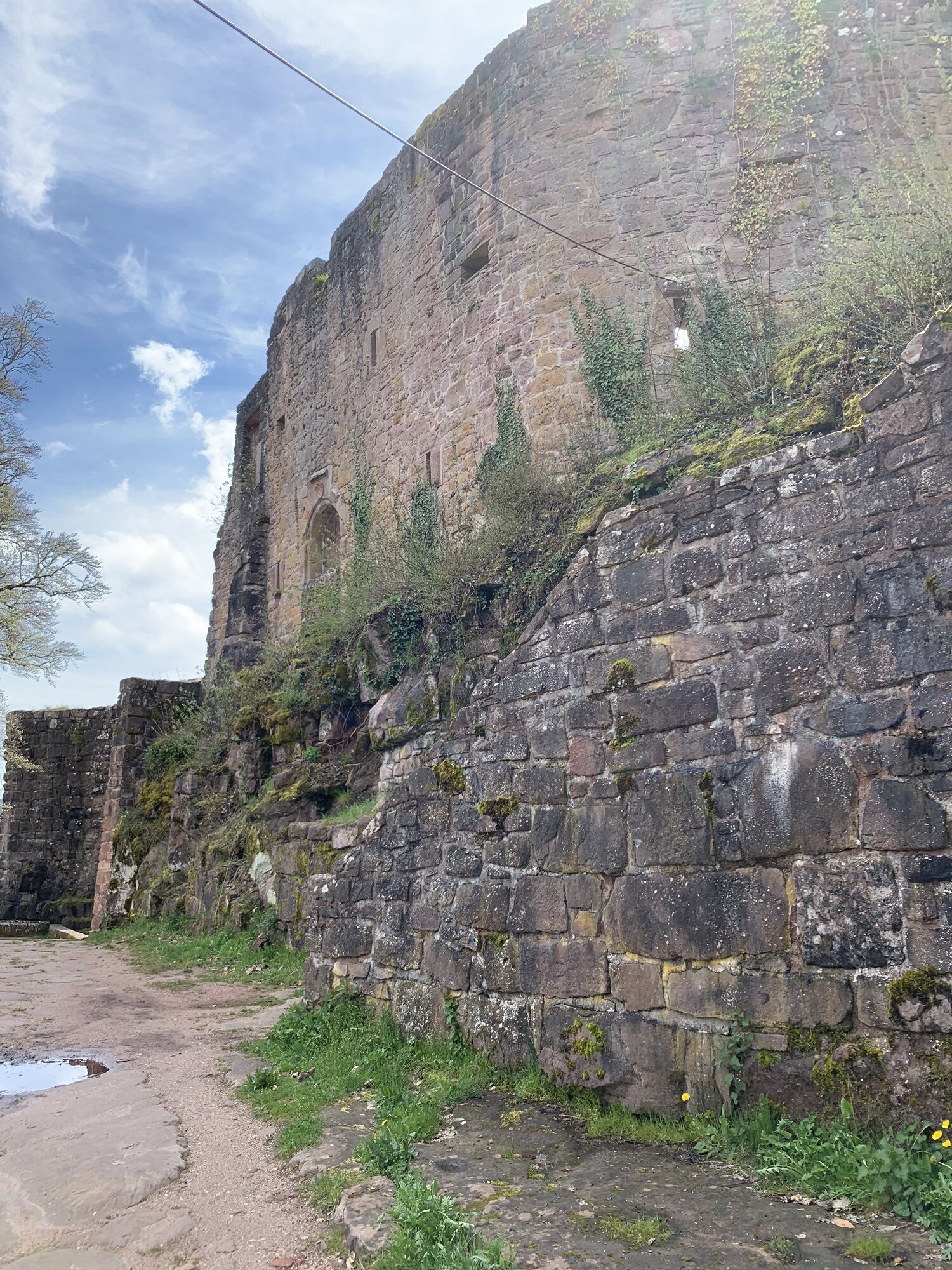
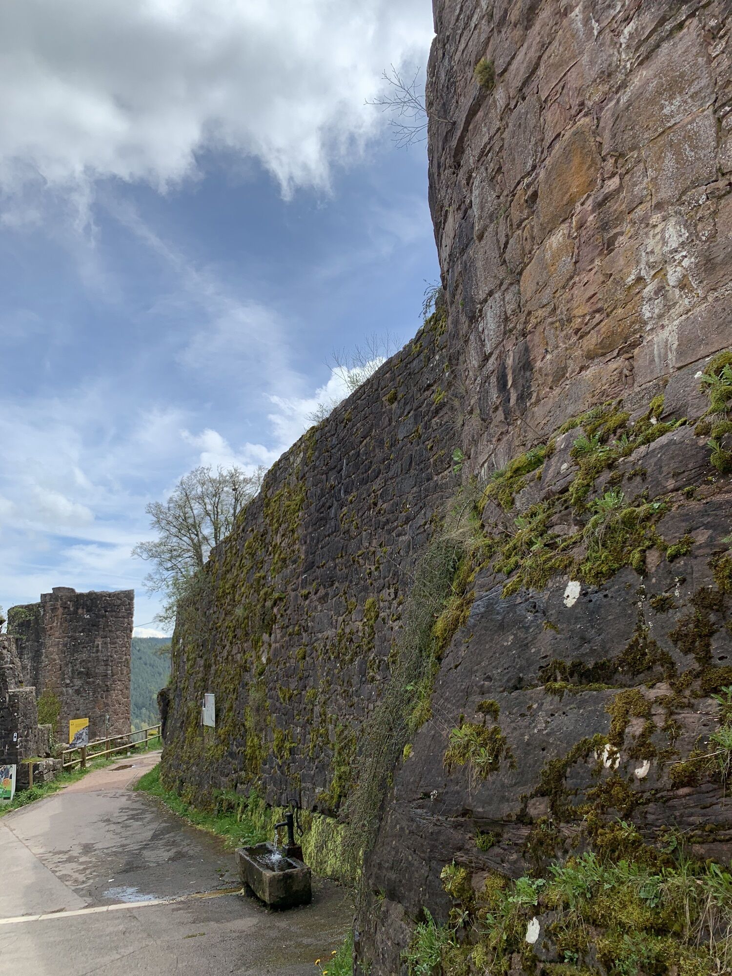
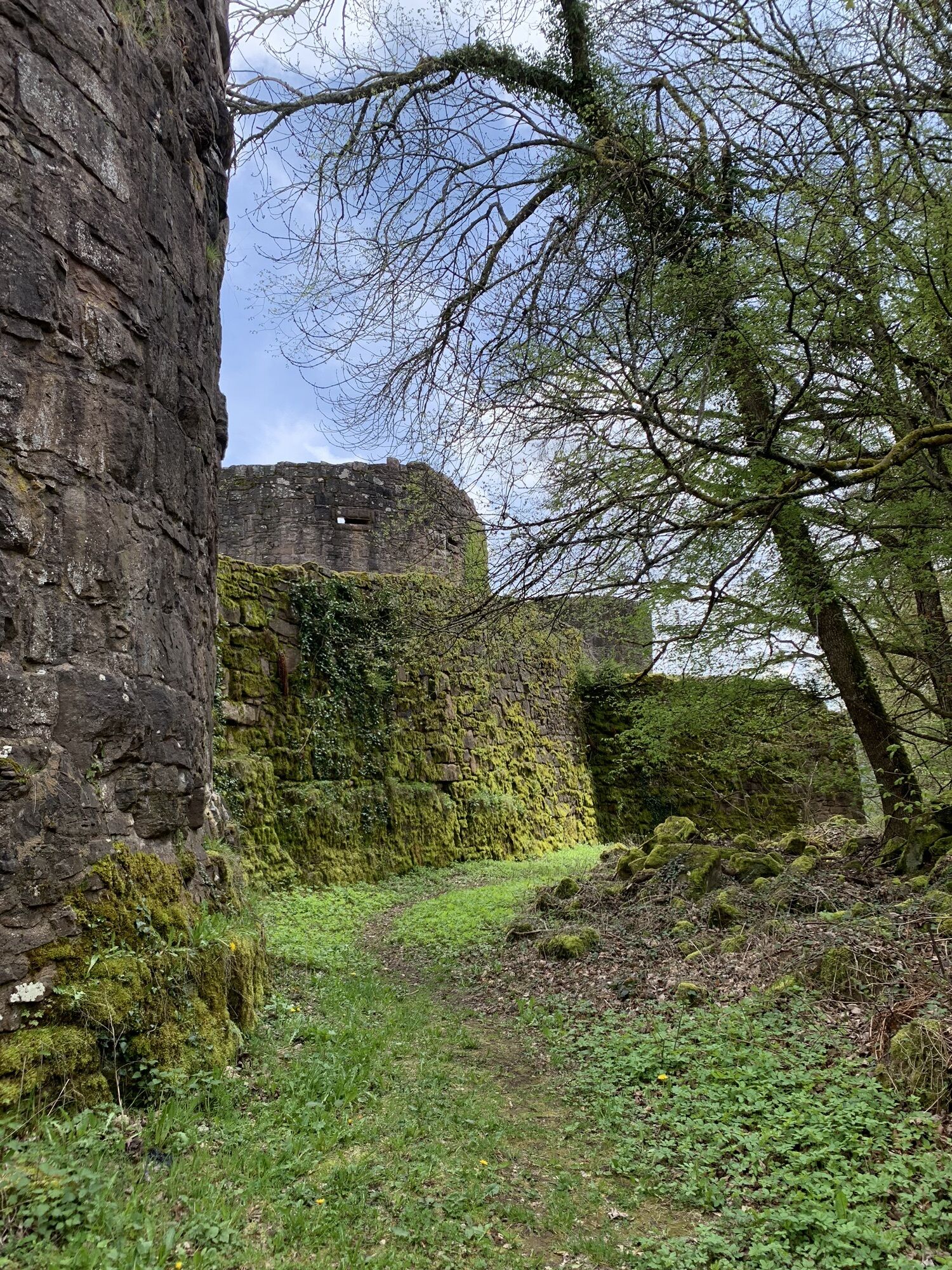
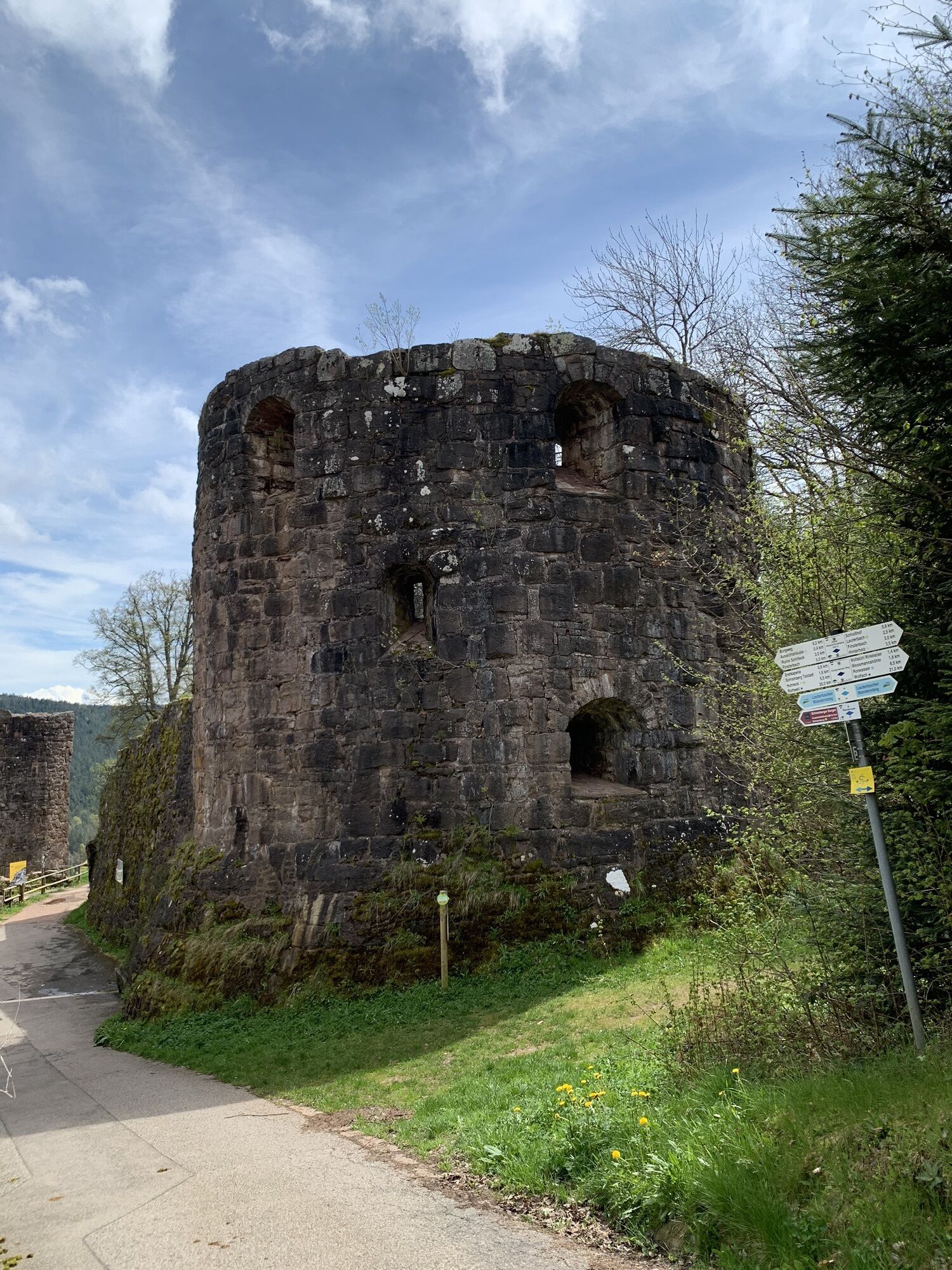
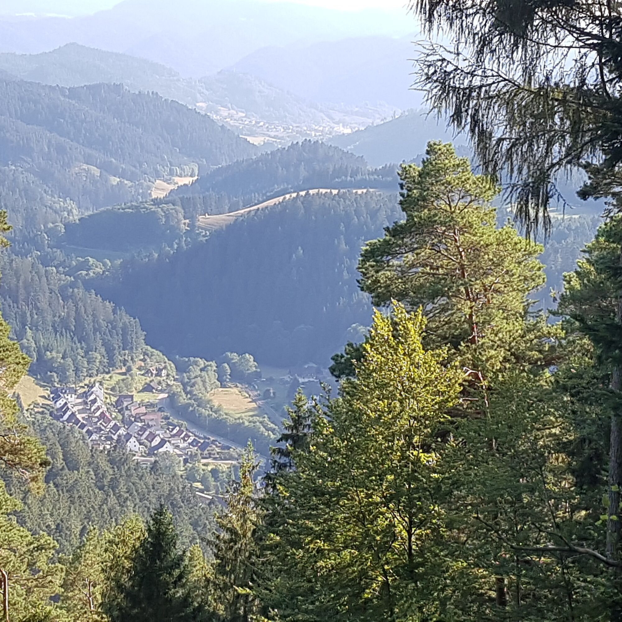
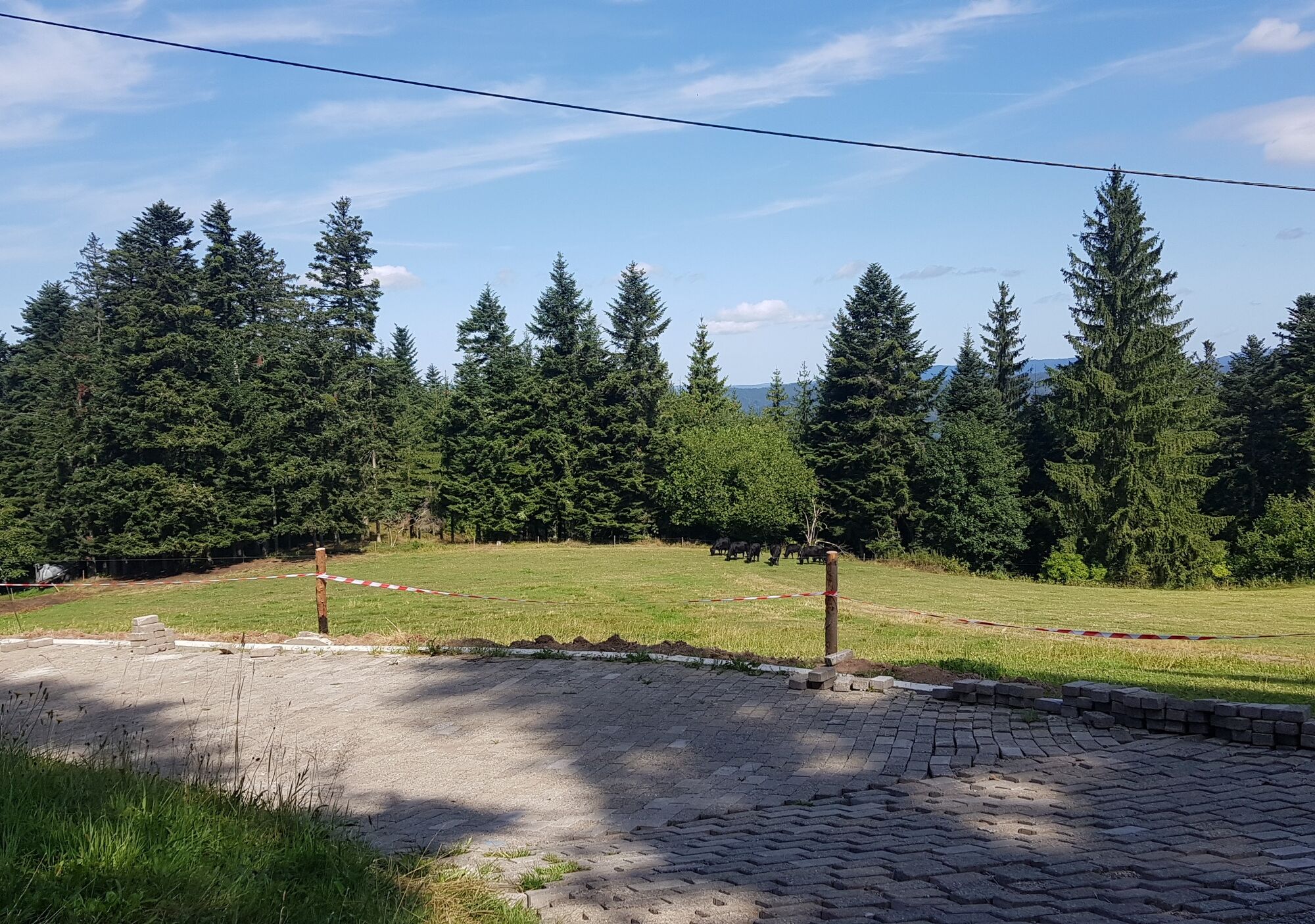
Following the sign of the middle route, it goes past the Evangelical Church first on a narrow path, later on a wide gravel path up Kirchberg to Schöngrund. The steeply ascending paved road leads past the Heuwiese inn and then downhill, now following the blue lozenge, to the former Hasen inn in Rotwasser. Here we leave the paved road to the left at a sharp angle, enter a forest area and then walk along the edge of the Kahlenberg forest on the panoramic path around the beautiful high valley Sulzbach with its scattered farms to Kienbronn. Past the fish pond, we continue to orient ourselves by the blue lozenge and walk on the paved road on the scenic plateau past the Wursthof (now again yellow lozenge towards Schramberg), turn right at the Hinterholz snack bar towards Finsterbach. Here we can enjoy views of Aichhalden and Sulgen. At the fork, we turn right towards the Hohenschramberg ruin. At Wolfsbühl Winkelacker, a narrow forest path marked with a blue lozenge leads left of the paved road to the Schlosshof parking lot. On the access road, you reach the Hohenschramberg ruin directly with scenic views over the Schramberg valley town. To the right of the castle restaurant, the final descent leads in switchbacks on narrow forest paths past the Hasenhäusle (with another beautiful view) to St. Maria church and then right to the bus parking lot in Schramberg.

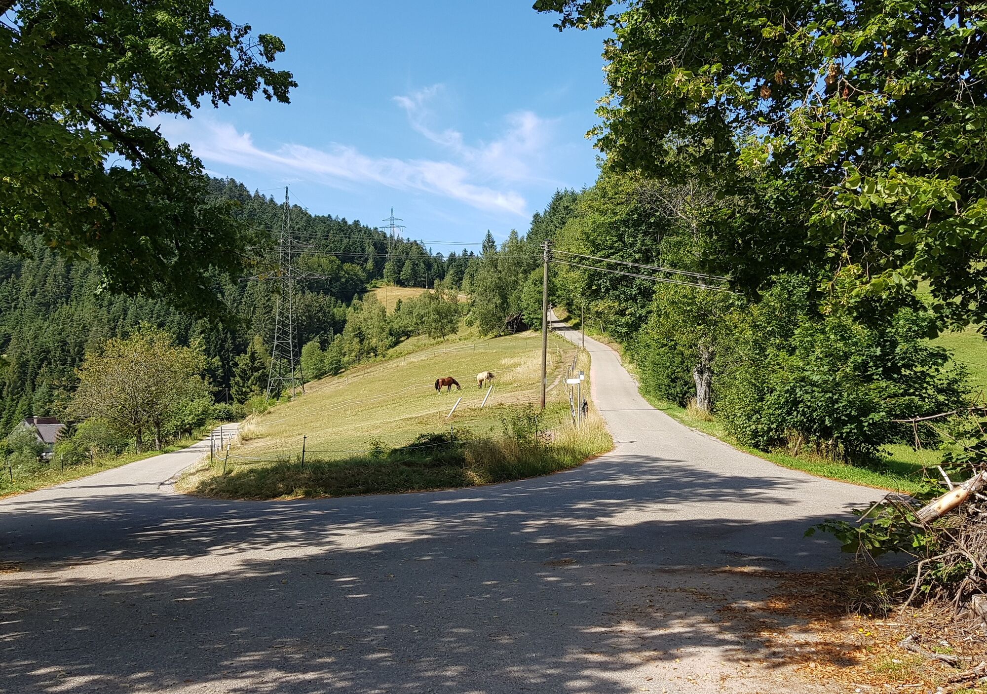
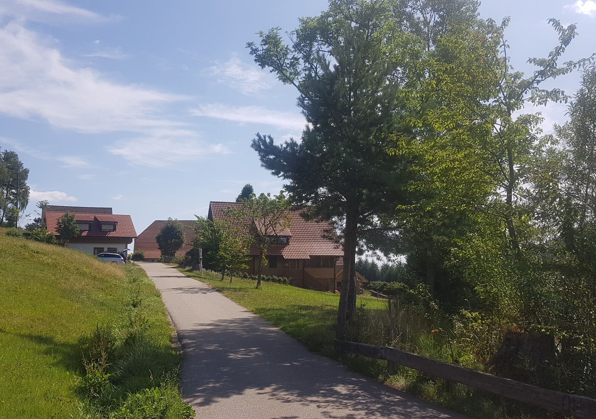

Paved road: short section from Schiltach church to Kirchberg junction, Schöngrund to former Hasen inn, Kienbronn to Wolfsbühl Winkelacker, Schlosshof to Hohenschramberg ruin
Gravel path: Kirchberg to Schöngrund
Forest path: from former Hasen inn to Kienbronn, Wolfsbühl Winkelacker to Schlosshof parking lot, Hohenschramberg ruin to valley town
From Rottweil direction (A81) along the B462 to Schiltach
From Freudenstadt direction along the B294 to Schiltach
From Offenburg direction (A5) along the B33/B294 to Schiltach
Follow the signs "Historic Old Town" to the town center
Ortenau S-Bahn OSB runs hourly. Train stops are Schiltach Mitte from Freudenstadt direction or Schiltach station (from Wolfach direction). Return from Schramberg bus station (at the end of the pedestrian zone).
For long-term parkers:
P1 (Lehwiese): free of charge, no time limit
P2 (Bahnhofstraße): free of charge, no time limit
Parking deck Schüttesäge: free of charge, no time limit
For short-term parkers:
In the entire city center area: free of charge, 2 hours with parking disc
Viewing points: at the hairpin bend at Kirchberg, Schöngrund, Heuwiese, panoramic path at Kahlenberg, Wursthof, Finsterbach, Hohenschramberg ruin, Hasenhäusle
Places to eat : Heuwiese, Hinterholz-Stube, Burgstube at the ruin closed and only open by reservation
 Pridobite vpogled
Vedno v živo na mestu z več kot 9.500 spletnimi kamerami. bergfex Kot uporabnik Pro si lahko zdaj ogledate ustrezne spletne kamere za številne izlete v aplikaciji izleti iz. Tako si lahko neposredno ogledate trenutne razmere.
Pridobite vpogled
Vedno v živo na mestu z več kot 9.500 spletnimi kamerami. bergfex Kot uporabnik Pro si lahko zdaj ogledate ustrezne spletne kamere za številne izlete v aplikaciji izleti iz. Tako si lahko neposredno ogledate trenutne razmere.
Priljubljeni izleti v okolici
-
4.8
AugenBlick-Runde Lauterbach Güntersberg
svetlobaPohodništvo 10.2 km -
3.0
Lauterbach High Valley Circuit in the hiking paradise Alb - Black Forest
svetlobaPohodništvo 10.7 km -
4.0
Circular hike on the Black Forest Railway Experience Trail
srednjaPohodništvo 6.56 km -
5.0
Wolfach settlers' loop large round
srednjaPohodništvo 9.04 km -
Westweg - Westvariante
težkoPohodništvo v daljavo 288.8 km -
5.0
Schiltach: Schenkenburg - Kaibach - Circular route
srednjaPohodništvo 12.3 km -
5.0
Premiumweg Wolfacher Schlossblick
srednjaPohodništvo 7.12 km -
5.0
Connoisseur path - Hausacher Bergsteig
srednjaPohodništvo 13.5 km -
4.7
Triberger Eisenbahn erlebnis tour
srednjaPohodništvo 8.83 km -
3.7
Rundwanderung über die Staude
srednjaPohodništvo 9.19 km
Pohodništvo in sledenje


Ne zamudite ponudb in navdiha za naslednje počitnice
Vaš e-poštni naslov je bil dodan na poštni seznam.





