







To Hohenschramberg, viewing pavilion, and the Kreuzfelsen
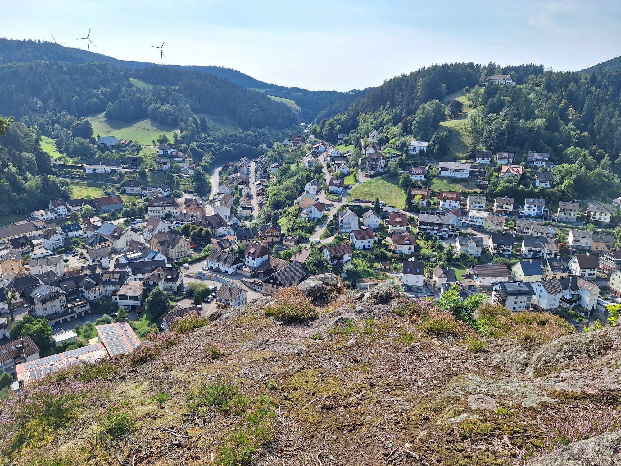
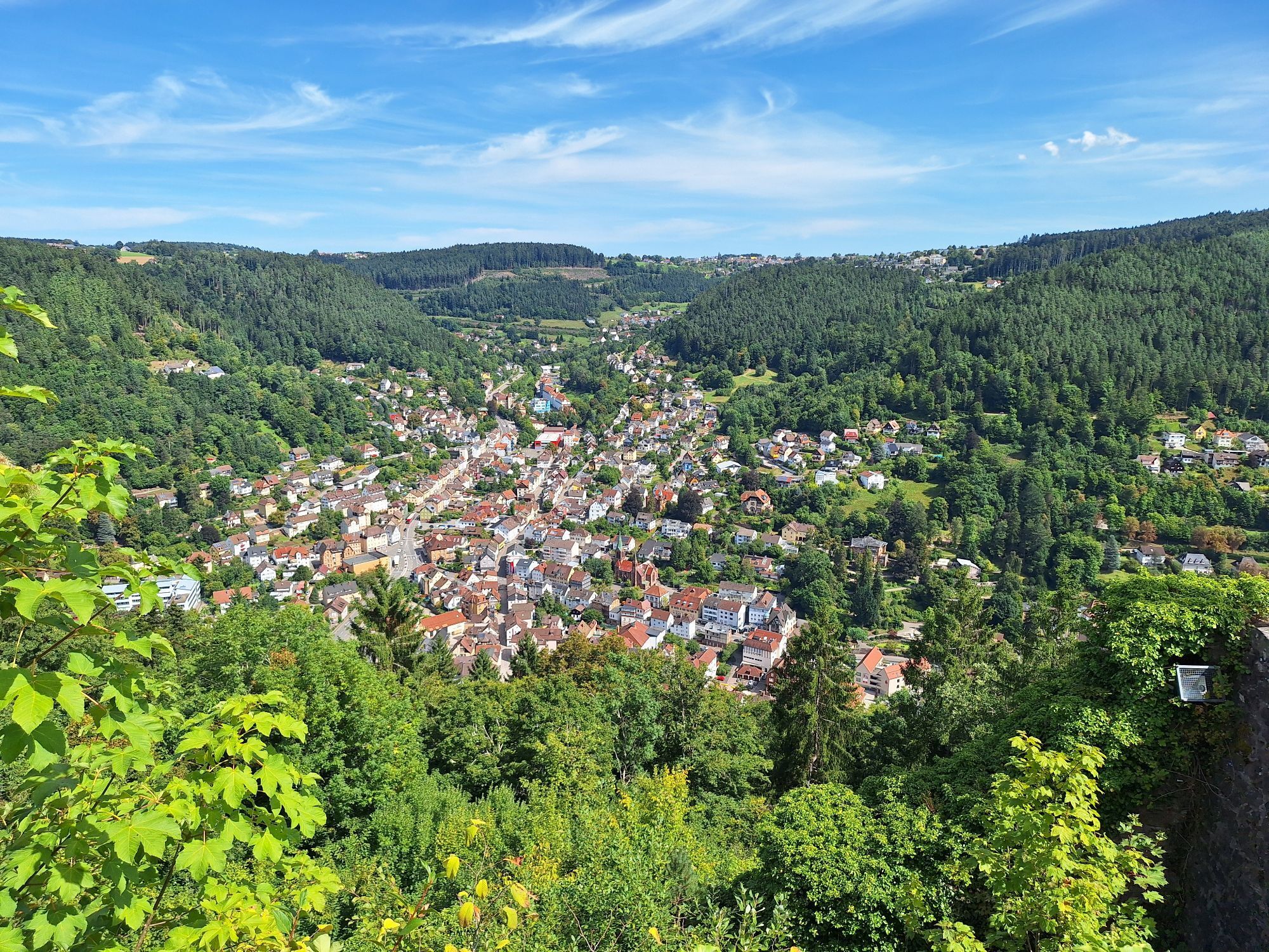
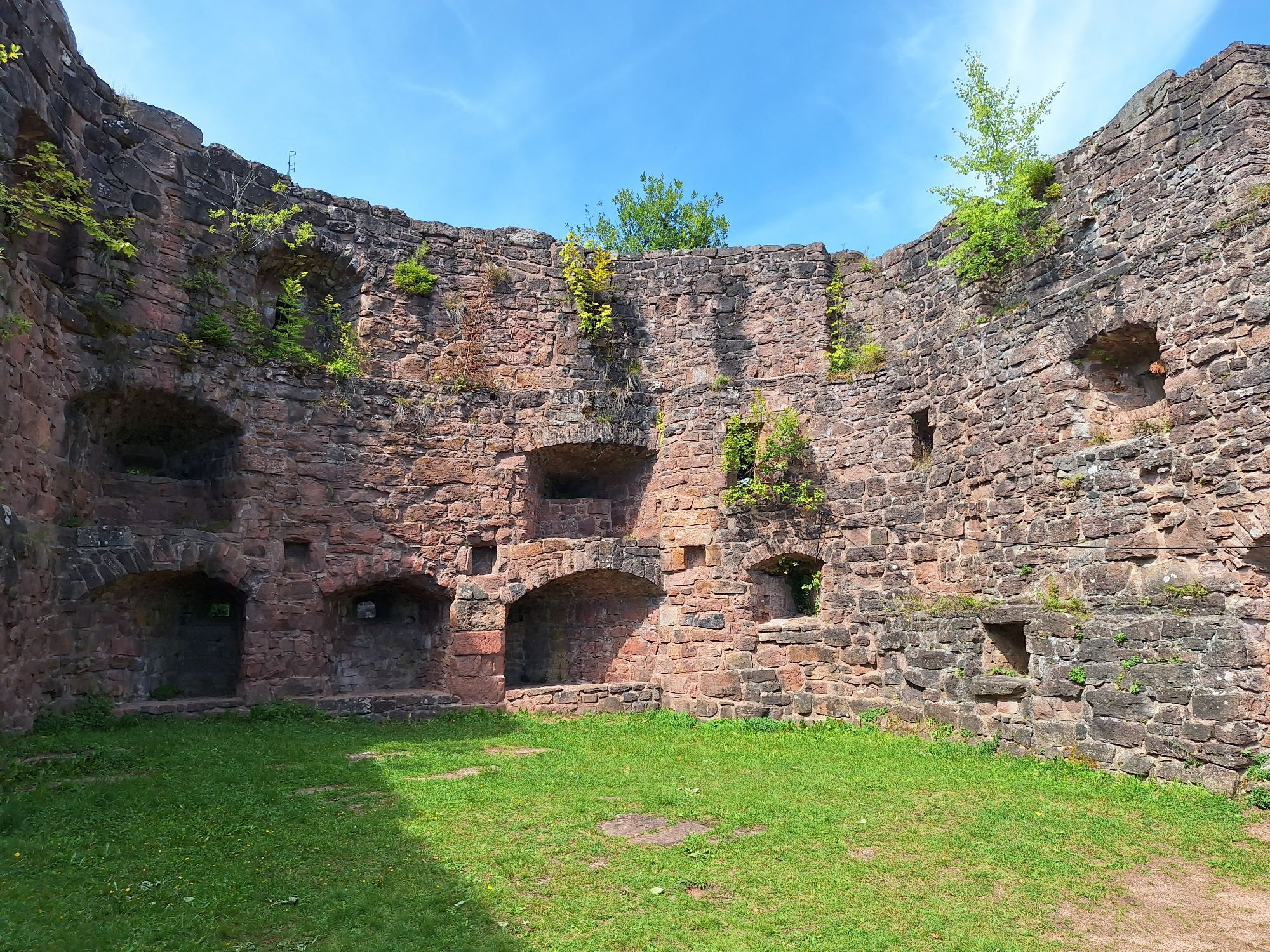
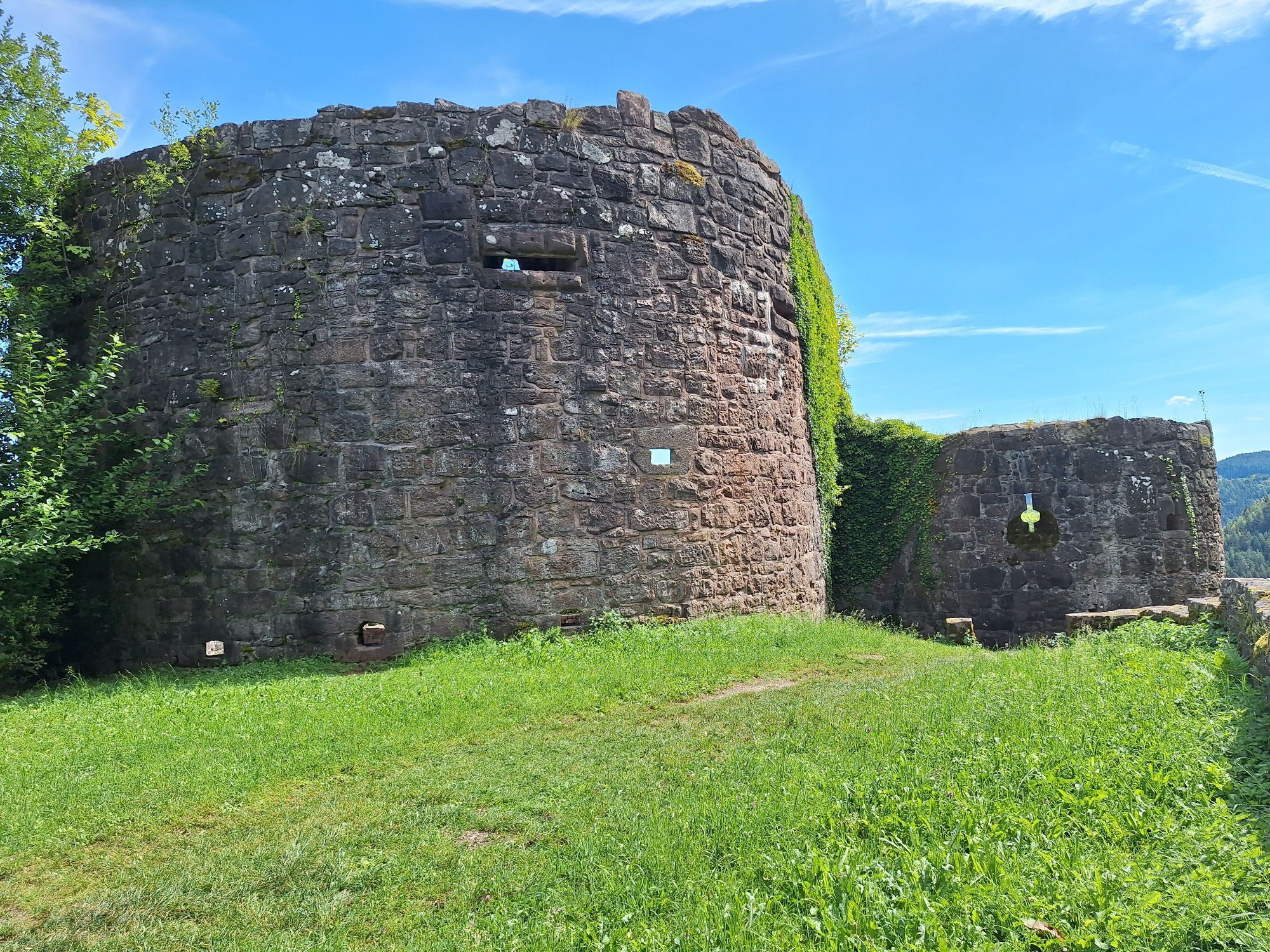

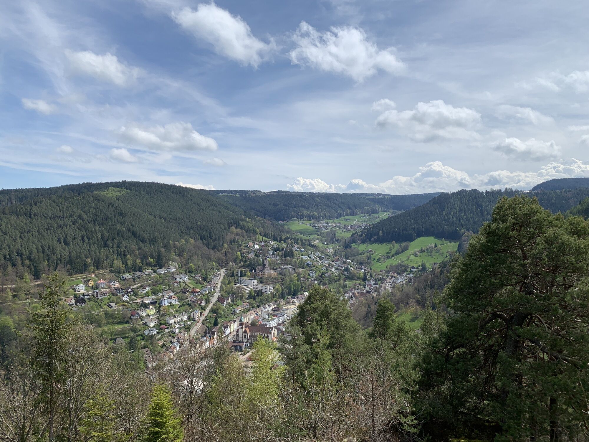
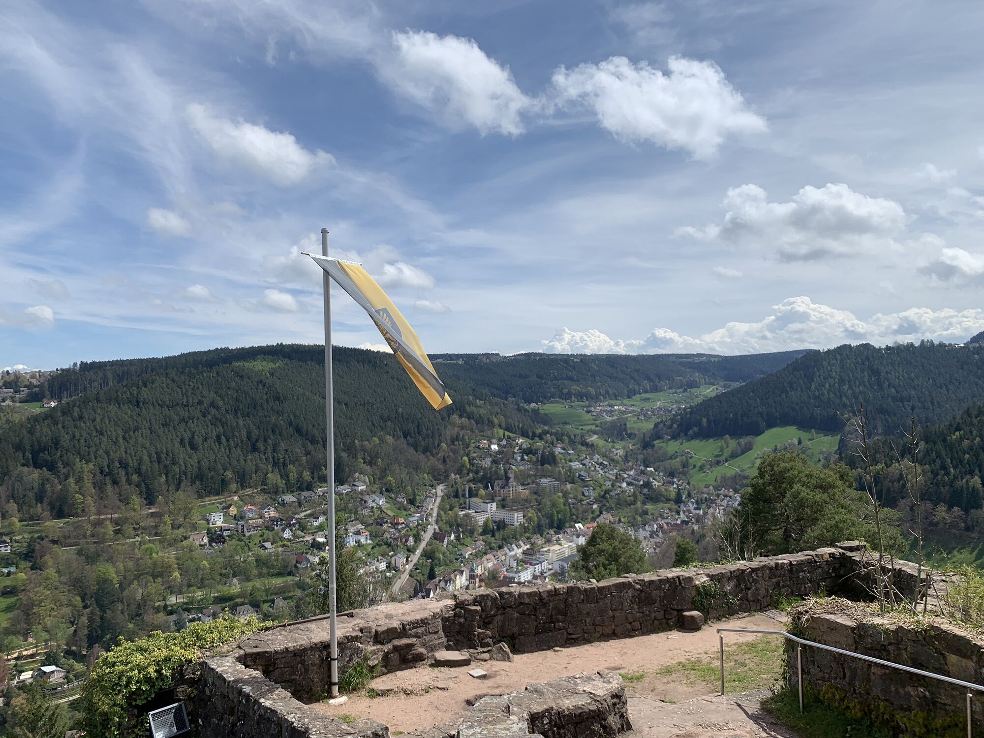
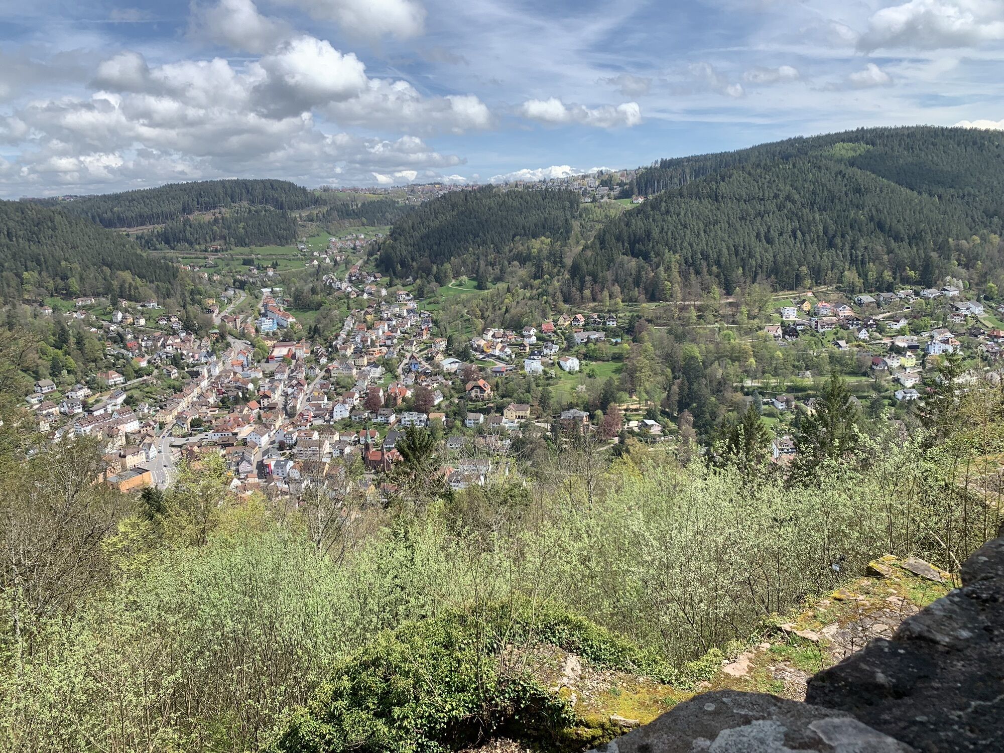
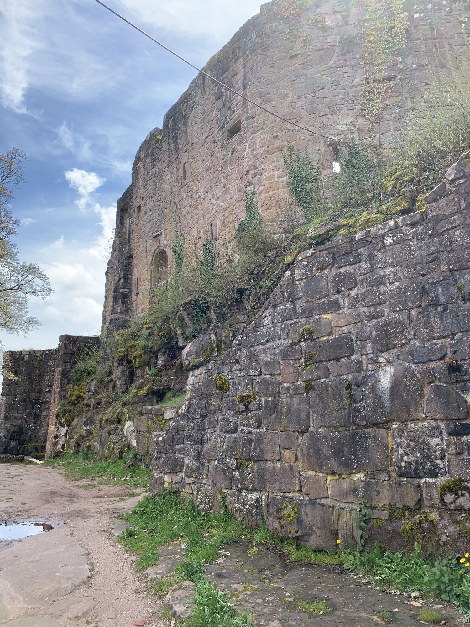
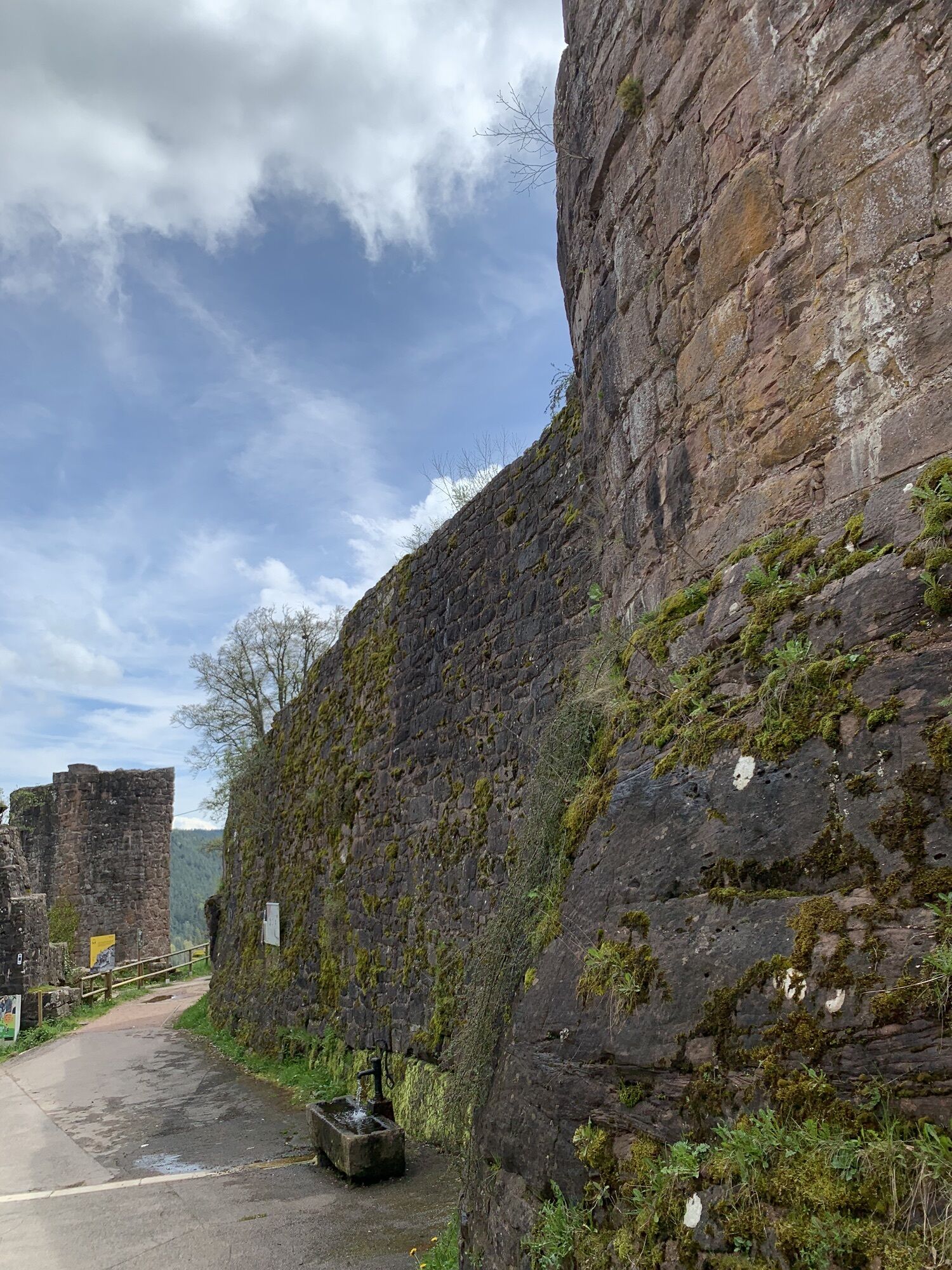
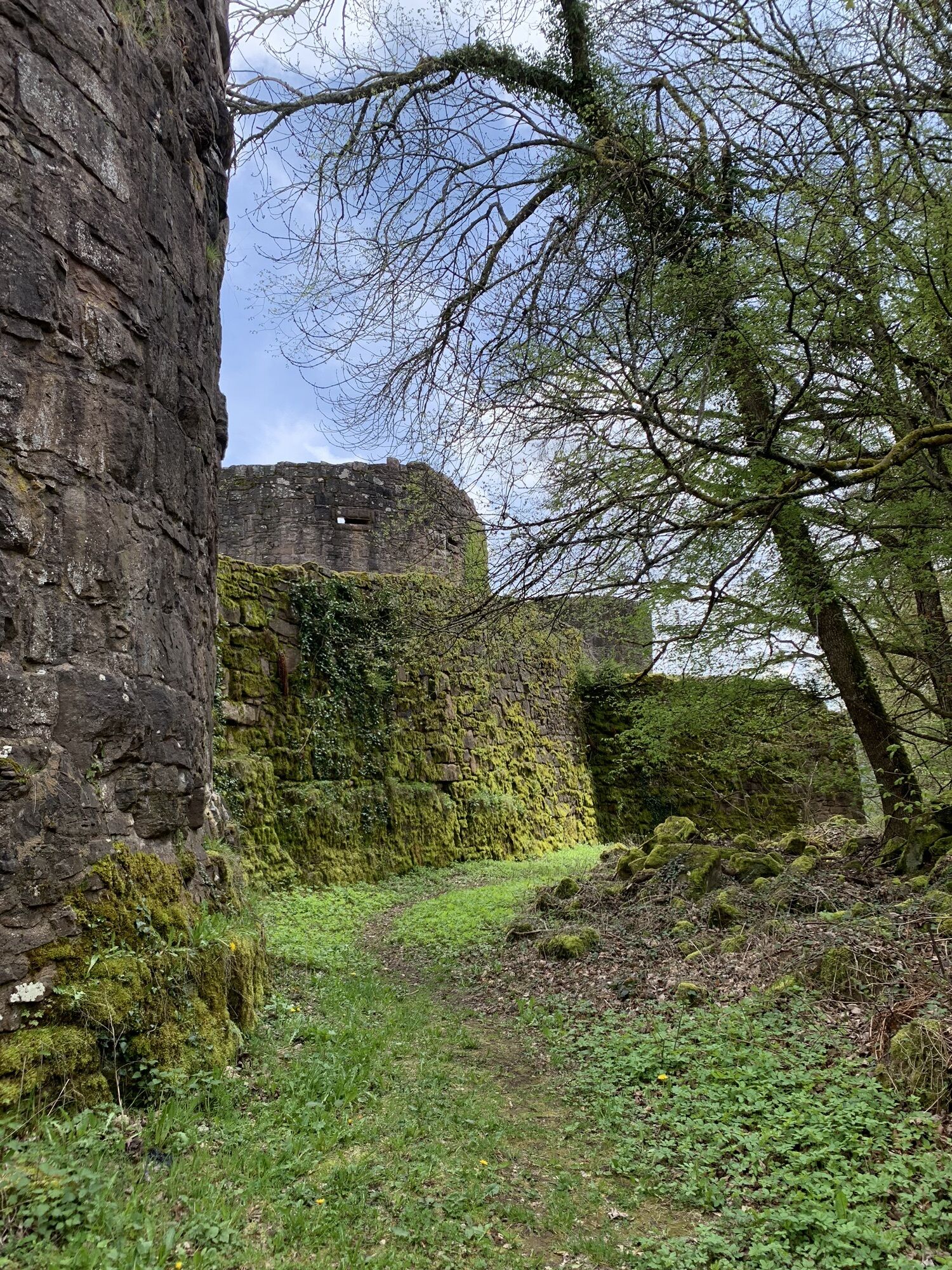
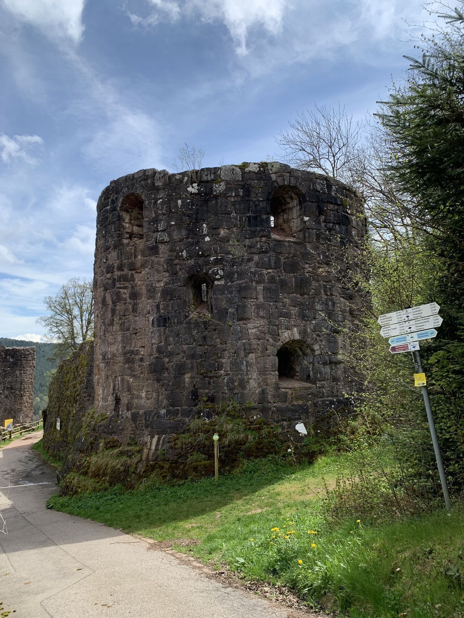

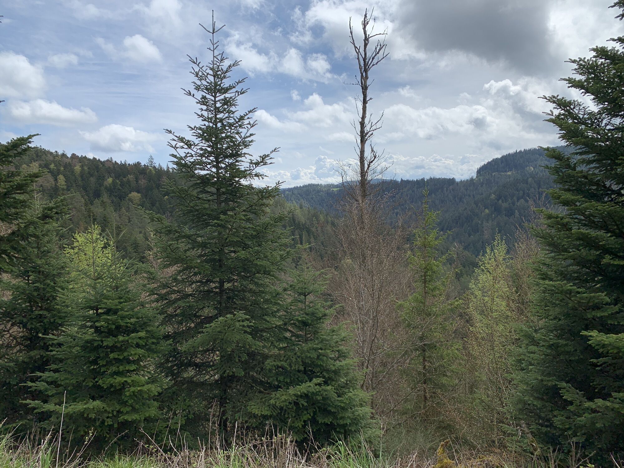
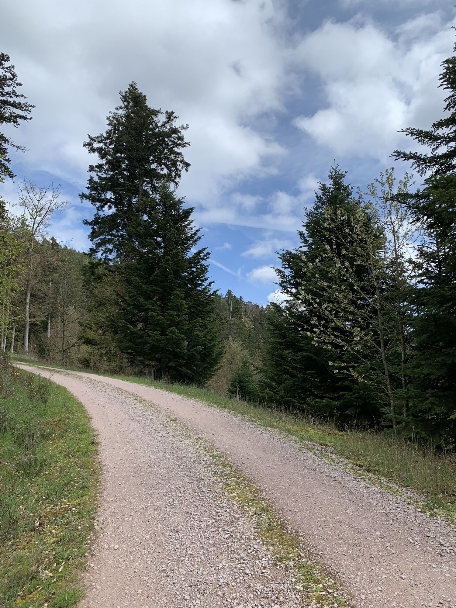
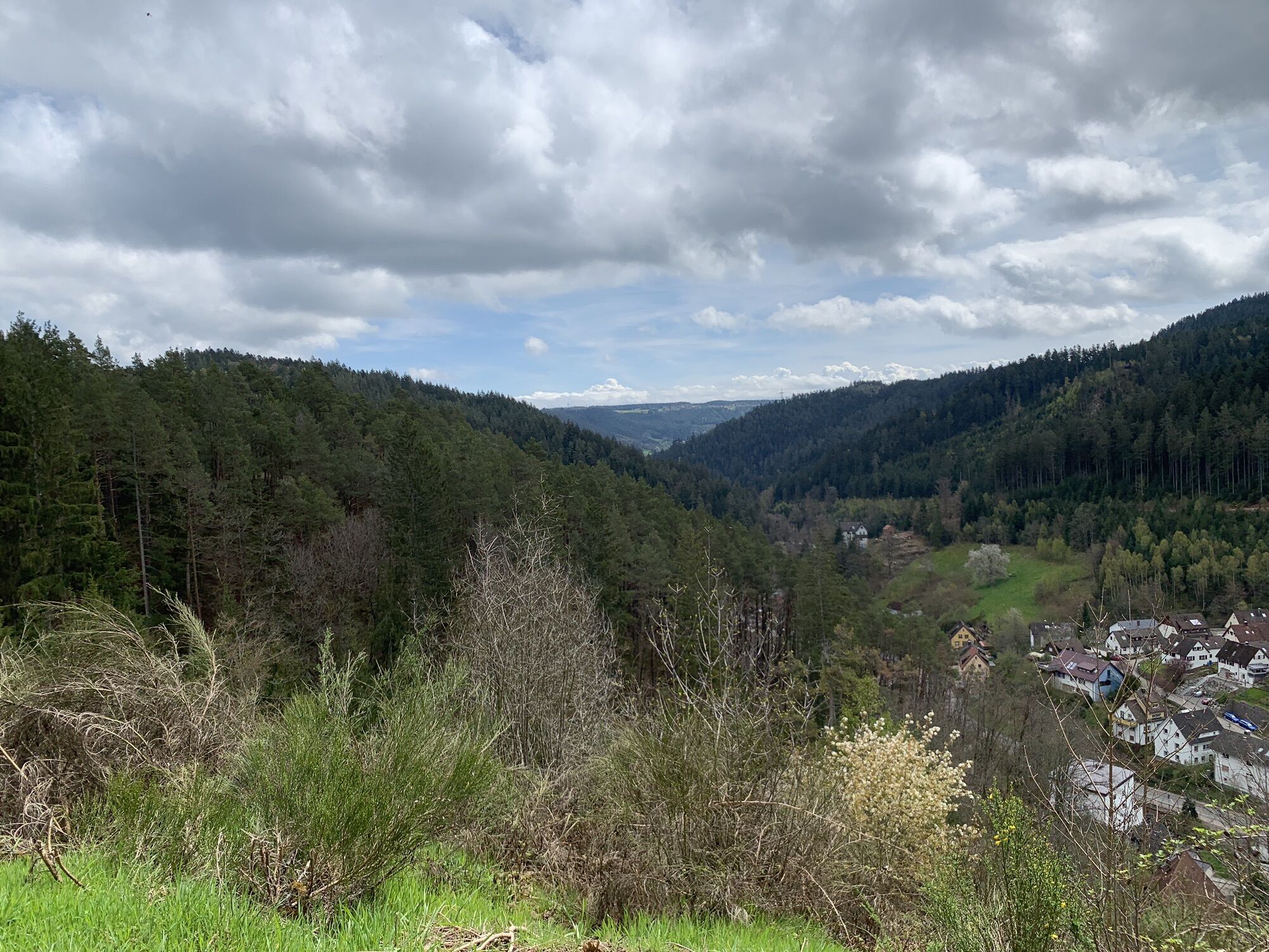
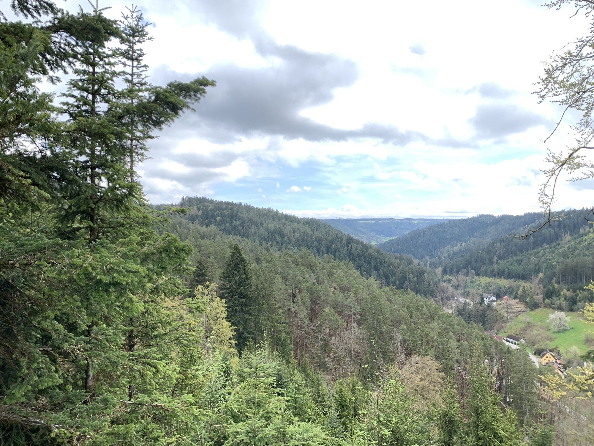
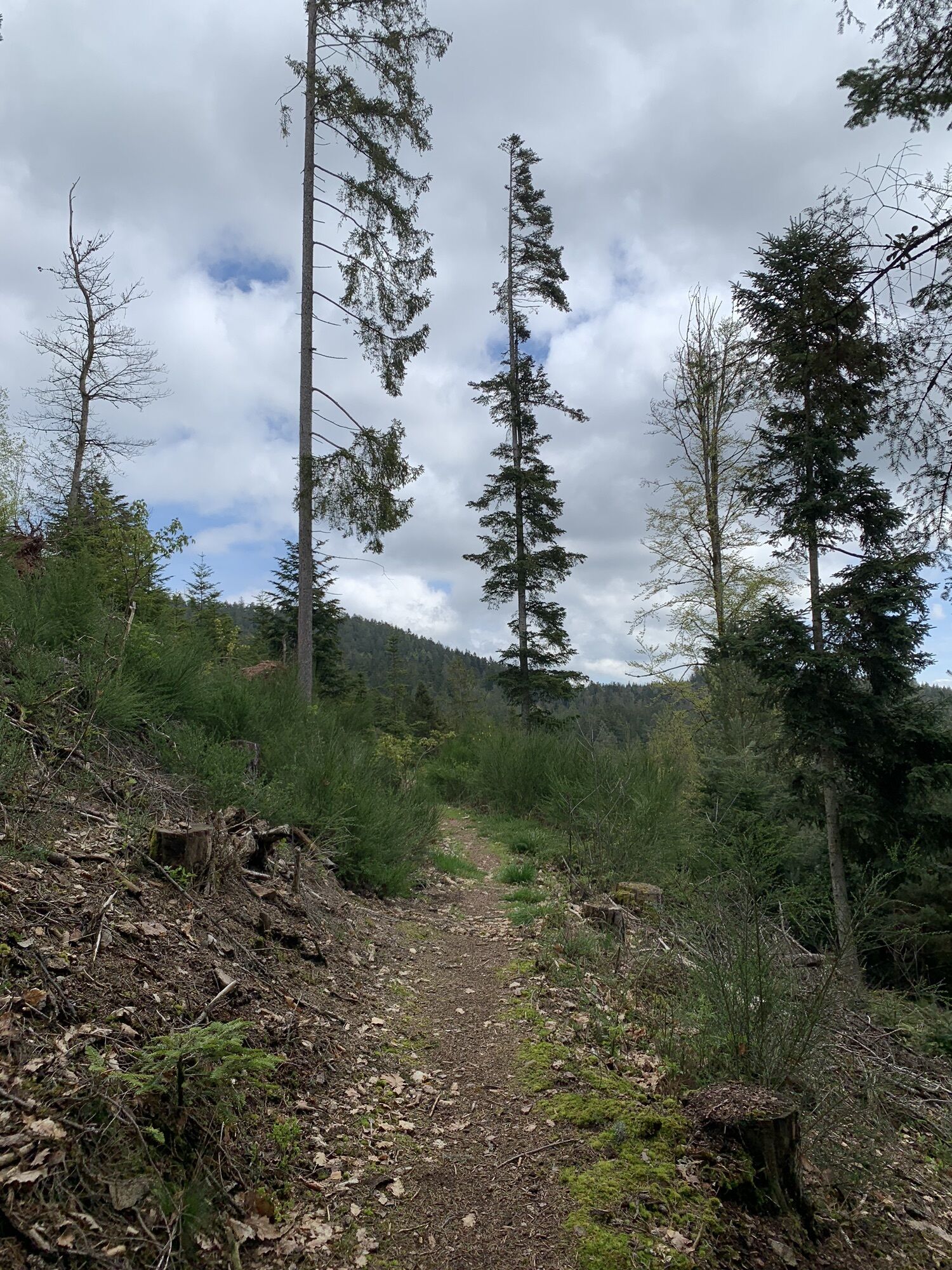
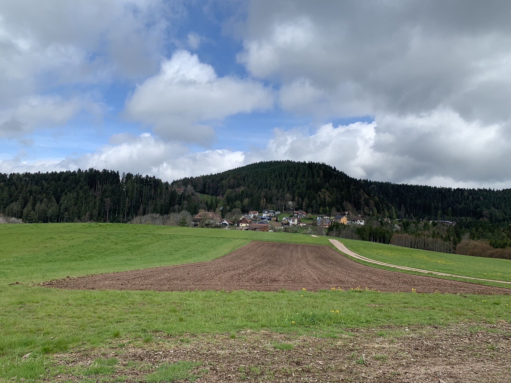
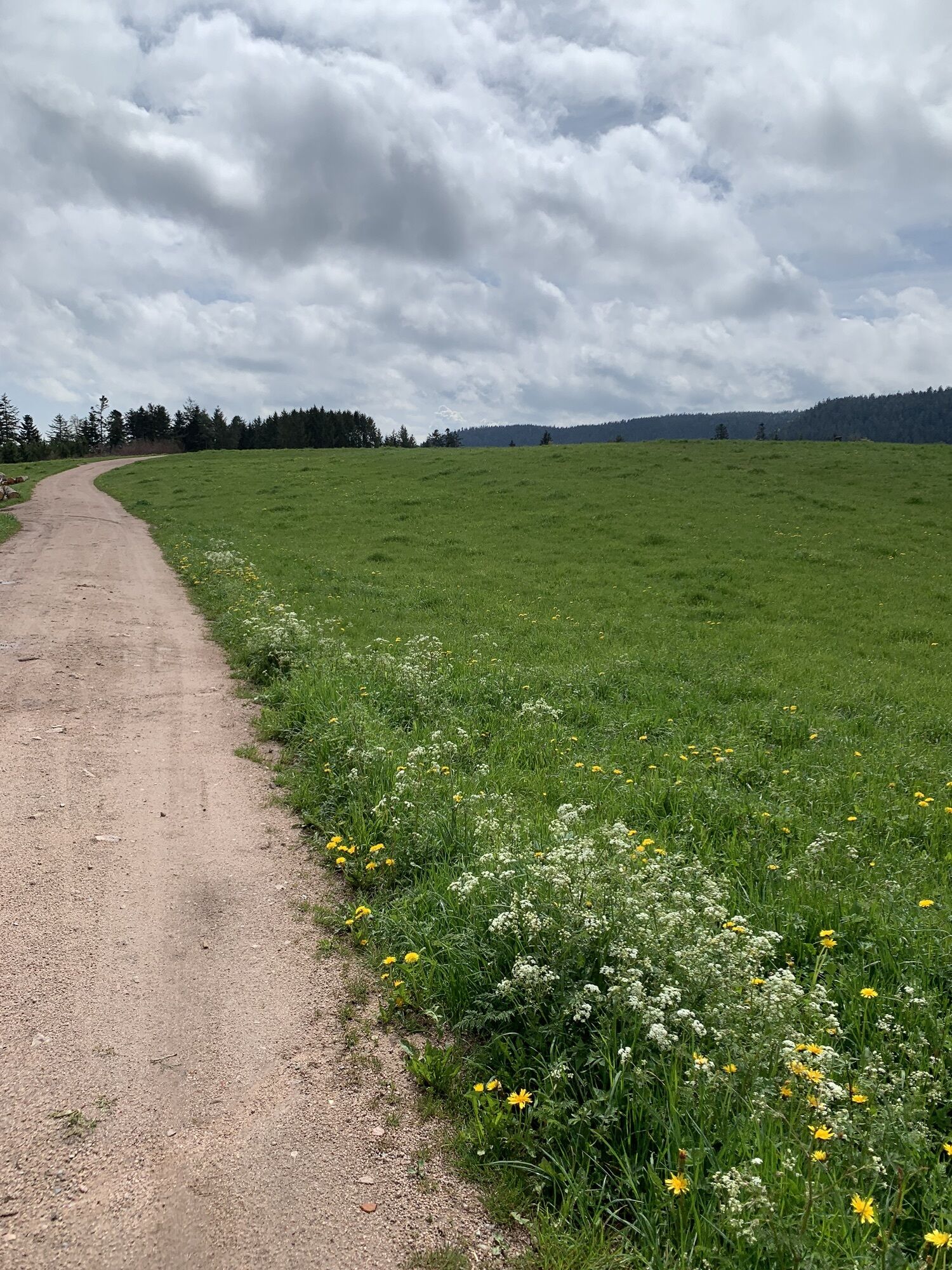
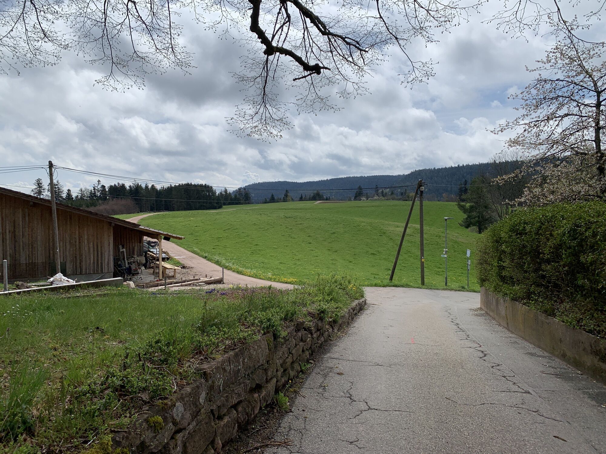
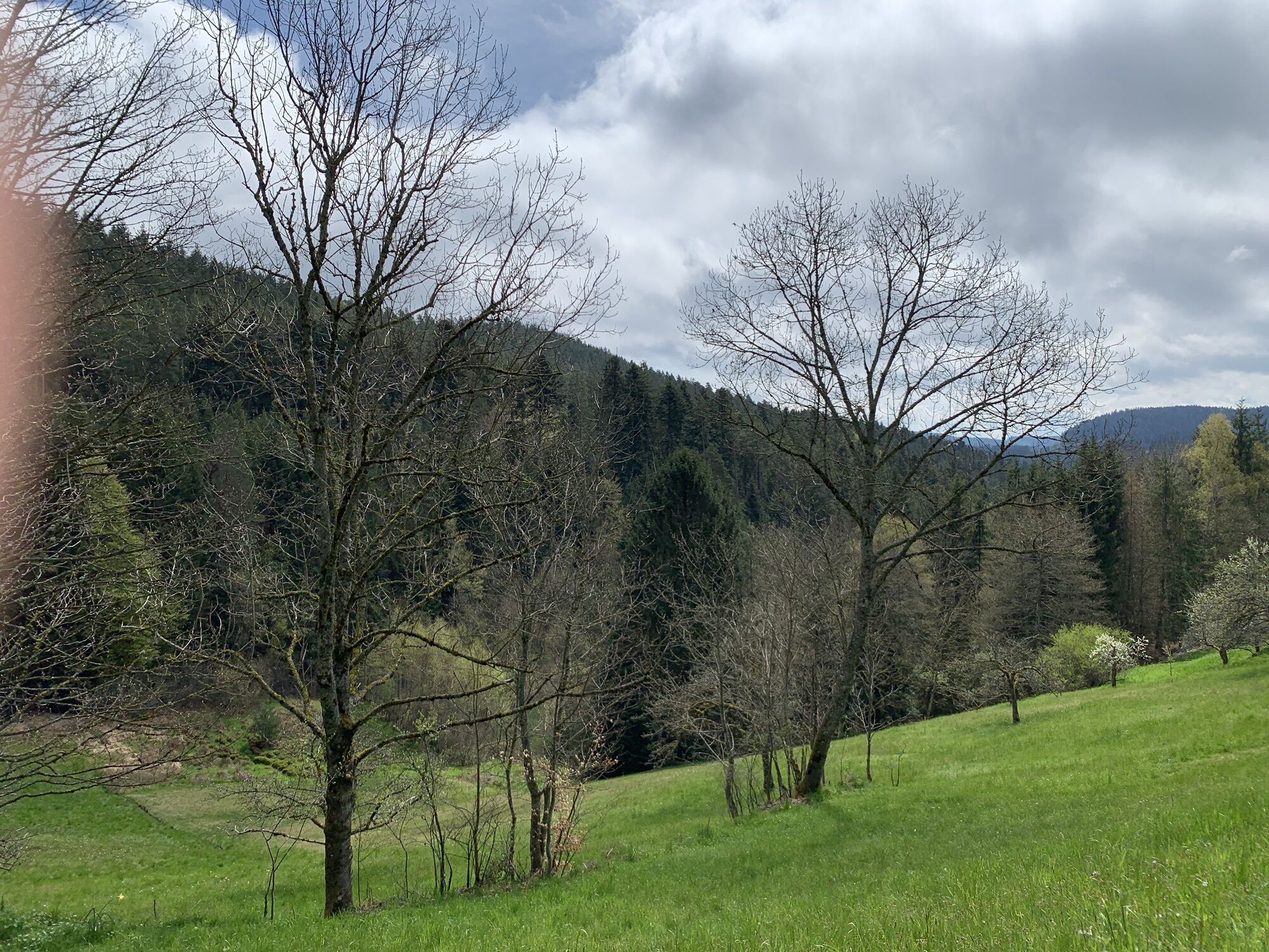
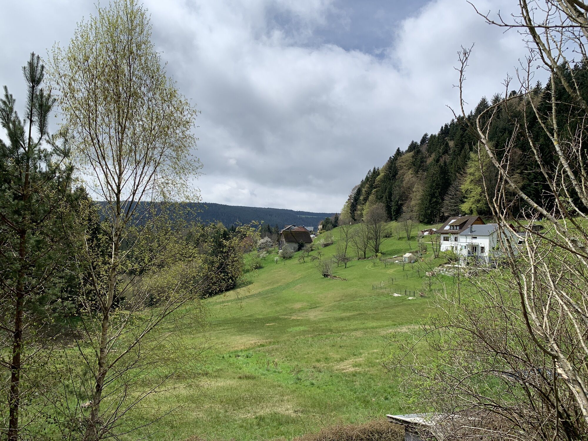
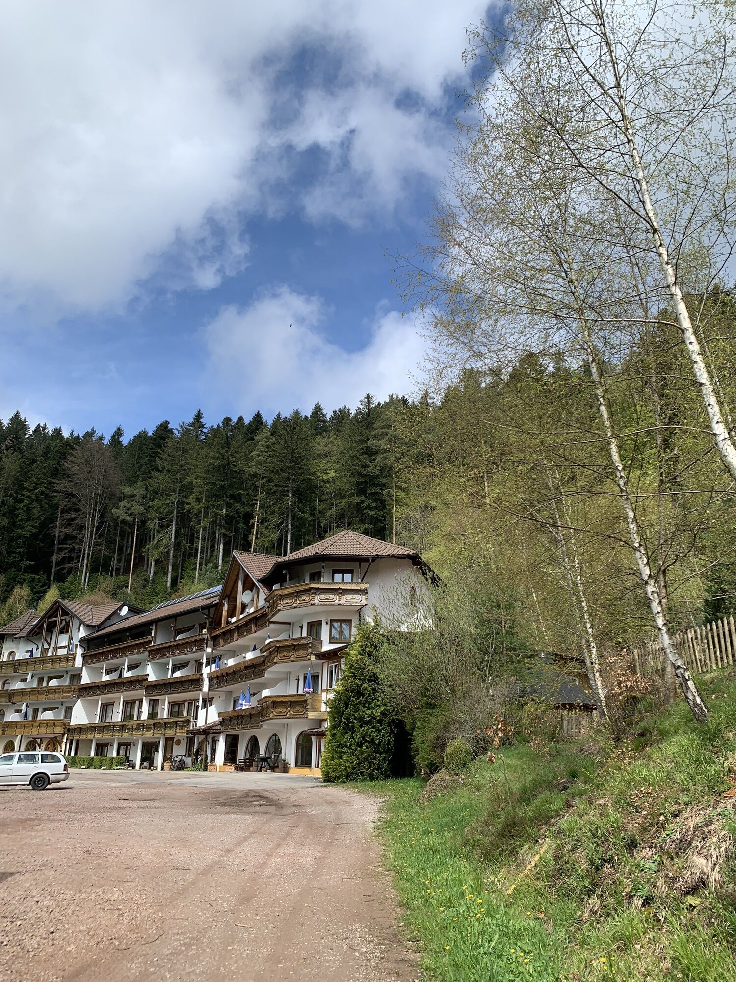
Behind Hotel Tannenhof, we climb a path up to the viewing platform above the street and then to the castle courtyard. After a short climb, I recommend walking 800 m each way to the Hohenschramberg castle...
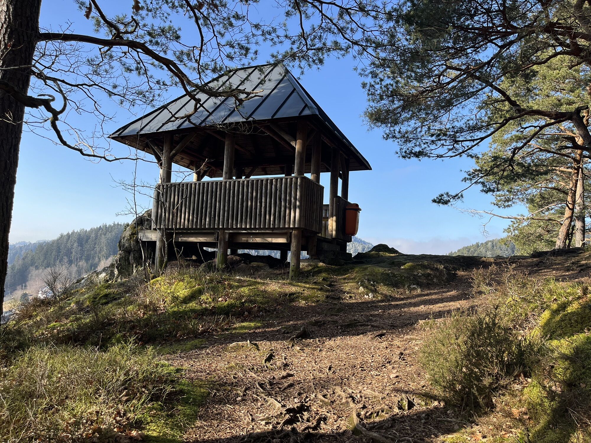
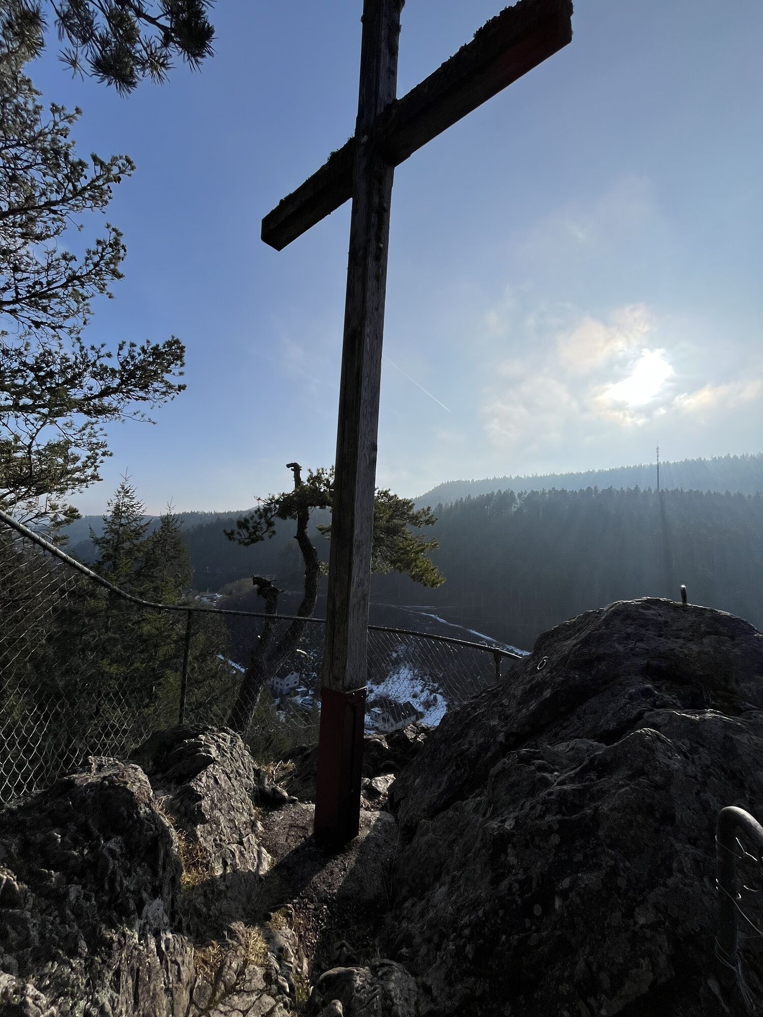
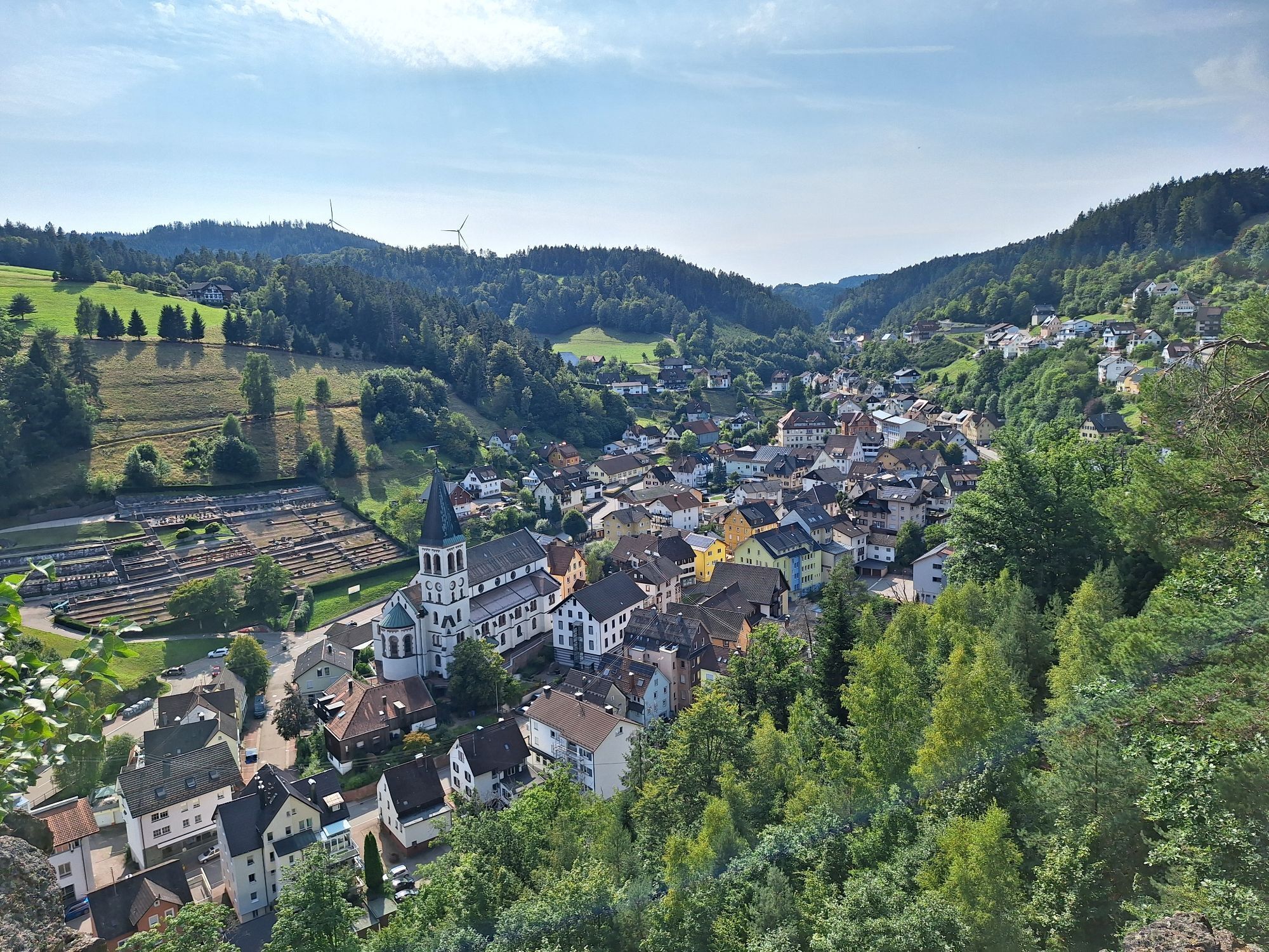
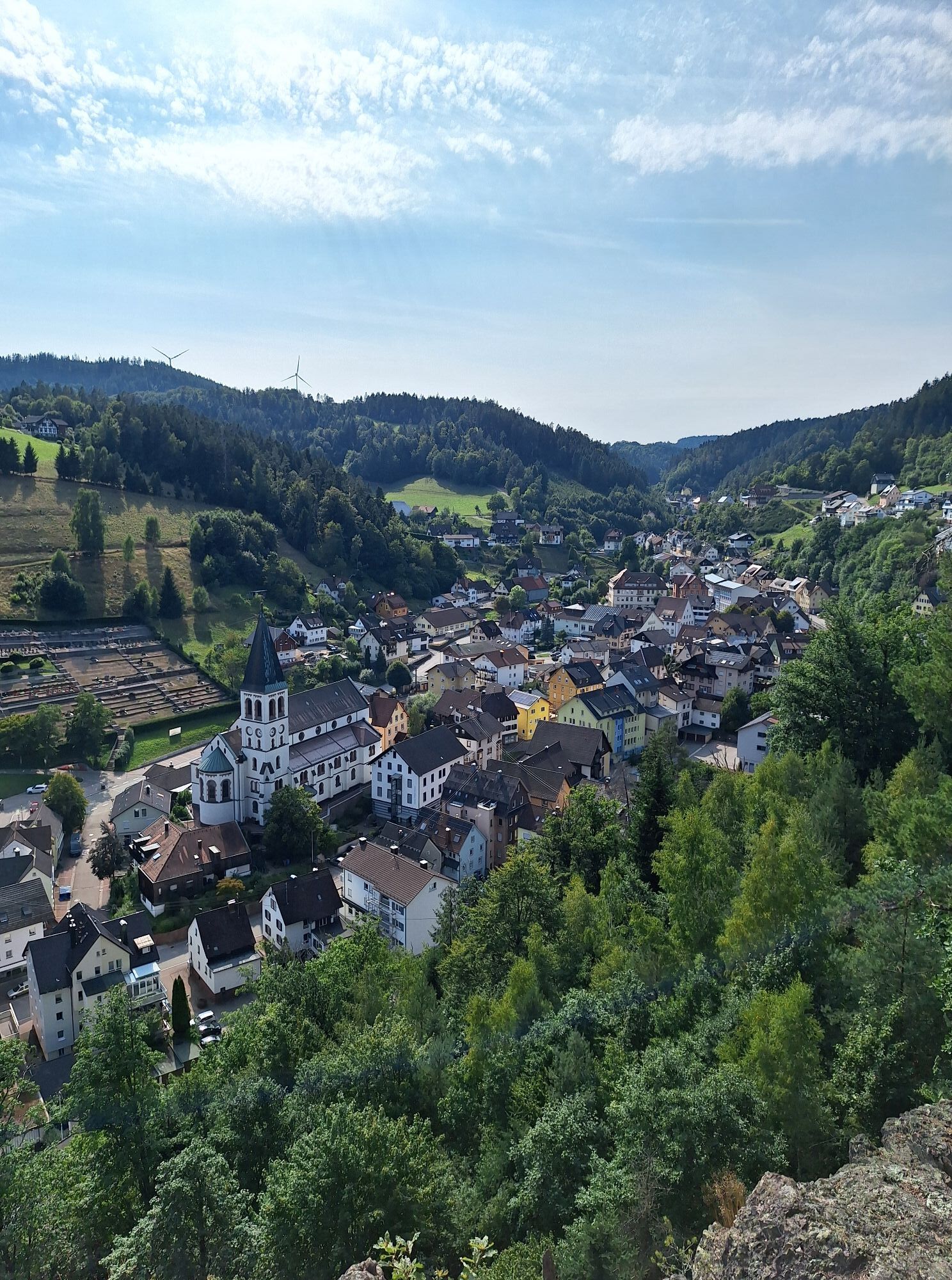
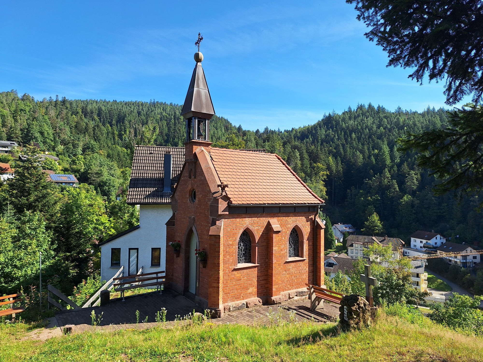
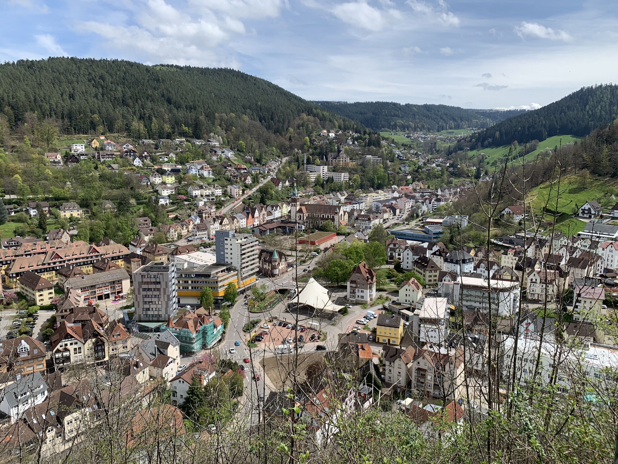
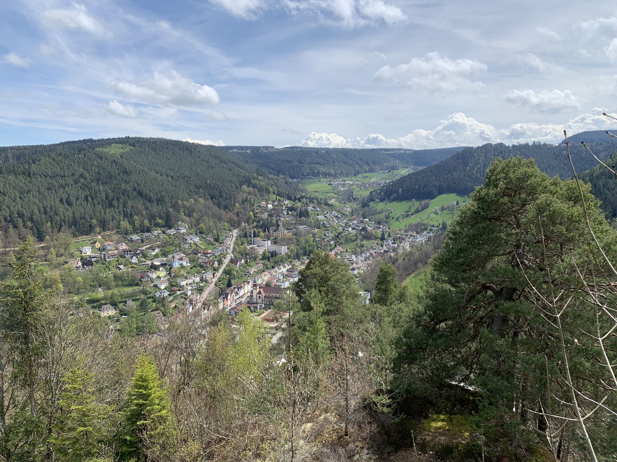
Behind Hotel Tannenhof, we climb a path up to the viewing platform above the street and then to the castle courtyard. After a short climb, I recommend walking 800 m each way to the Hohenschramberg castle ruins. You will be rewarded with a magnificent view over the five valleys of the town of Schramberg. Back at the barbecue area, we hike via Wolfsbühl to the Moosmannshöhle, which is well marked and found just above our path. Through the forest, we reach the Basler Hof and the Imbrand plateau. Then follows the viewpoint Rabenfelsen with its pavilion. The view extends far into the Lauterbachtal, the Sommerberg, and the Steinbank. On a path, we reach the Kreuzfelsen, which towers high above the town hall and the town center. After crossing a rock ridge, we cross the Kammermartinsdobel and soon reach the Sonnenstein. From here, the descent follows through the Langen Dobel past a nicely arranged pond with benches for resting. In the lower village, we reach the street, which we follow back to the starting point.

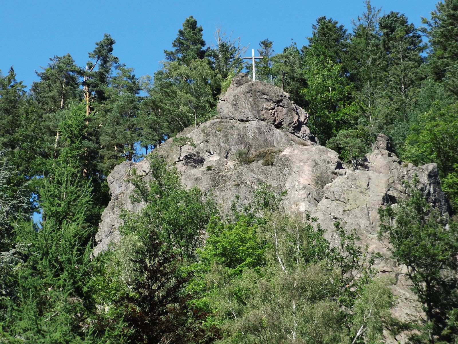

From the bus stop, we follow the sign Gänsebrunnen and the yellow rhombus over the bridge. Down to the right, a sign points us to the castle courtyard. Before the last house, we have to climb left and follow the yellow rhombus up to the barbecue area above the castle courtyard. Here, we meet the Kinzig-Neckar trail, marked with a blue rhombus. It connects Wolfach in the Kinzig valley with Rottweil on the Neckar. After the above-mentioned detour to Hohenschramberg, we follow the blue rhombus to the Imbrand location sign. Here, we leave the path to the left and follow the yellow rhombus on the street past the next signpost straight ahead and then, after the last house, following the yellow rhombus, turn left. Passing the fruit trial station, we reach the viewing pavilion. After a short descent, a slight ascent to the left at Kreuzfelsen follows, following the Kammermartinsdobel sign. After crossing the rock ridge, a descent on a path leads to a newly laid path. We take this path to the left following the yellow rhombus and reach the Kammermartinsdobel signpost. Following the yellow rhombus and the Sonnenstein sign, we follow the driveway up to the Sonnenstein location. To the right, the sign points down into a side valley with a nicely designed pond inviting you to rest. We follow the yellow rhombus further to the Unterdorf signpost. Again to the left, we reach our starting point via the Gänsebrunnen location.
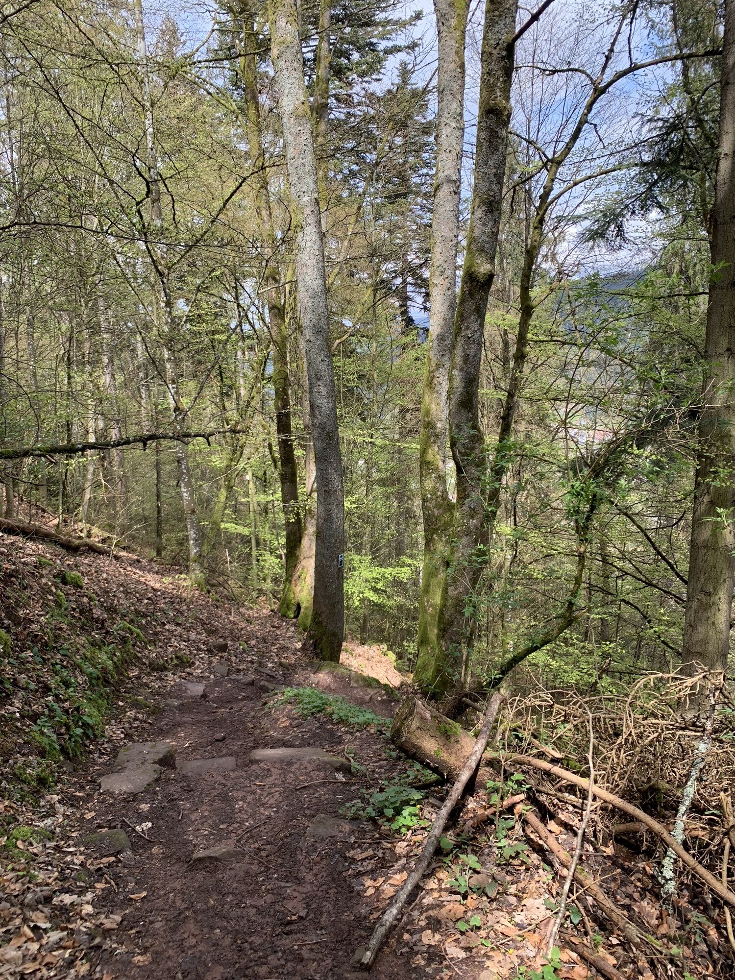
For this route on rocks and paths with slippery tree roots, hiking shoes are recommended.
A5 to exit 55 Offenburg, B33 to Hornberg, L108 towards Schramberg to Lauterbach Hotel Tannenhof Schrambergerstr. 61
Hornberg train station, with bus to Lauterbach, Tannenhof stop
Hotel Tannenhof or Hotel Holzschuh
For this hike, packed lunch is recommended.
Beautiful and scenic route, but not an easy walk.
 Pridobite vpogled
Vedno v živo na mestu z več kot 9.500 spletnimi kamerami. bergfex Kot uporabnik Pro si lahko zdaj ogledate ustrezne spletne kamere za številne izlete v aplikaciji izleti iz. Tako si lahko neposredno ogledate trenutne razmere.
Pridobite vpogled
Vedno v živo na mestu z več kot 9.500 spletnimi kamerami. bergfex Kot uporabnik Pro si lahko zdaj ogledate ustrezne spletne kamere za številne izlete v aplikaciji izleti iz. Tako si lahko neposredno ogledate trenutne razmere.
Priljubljeni izleti v okolici
-
4.8
AugenBlick-Runde Lauterbach Güntersberg
svetlobaPohodništvo 10.2 km -
3.0
Lauterbach High Valley Circuit in the hiking paradise Alb - Black Forest
svetlobaPohodništvo 10.7 km -
4.0
Circular hike on the Black Forest Railway Experience Trail
srednjaPohodništvo 6.56 km -
5.0
Wolfach settlers' loop large round
srednjaPohodništvo 9.04 km -
Westweg - Westvariante
težkoPohodništvo v daljavo 288.8 km -
5.0
Schiltach: Schenkenburg - Kaibach - Circular route
srednjaPohodništvo 12.3 km -
5.0
Premiumweg Wolfacher Schlossblick
srednjaPohodništvo 7.12 km -
4.7
Triberger Eisenbahn erlebnis tour
srednjaPohodništvo 8.83 km -
3.7
Rundwanderung über die Staude
srednjaPohodništvo 9.19 km -
5.0
AugenBlick Route Schramberg-Tennenbronn
srednjaPohodništvo 9.11 km
Pohodništvo in sledenje


Ne zamudite ponudb in navdiha za naslednje počitnice
Vaš e-poštni naslov je bil dodan na poštni seznam.





