







Schiltach: East Trail route Alpirsbach Breitreute Schiltach
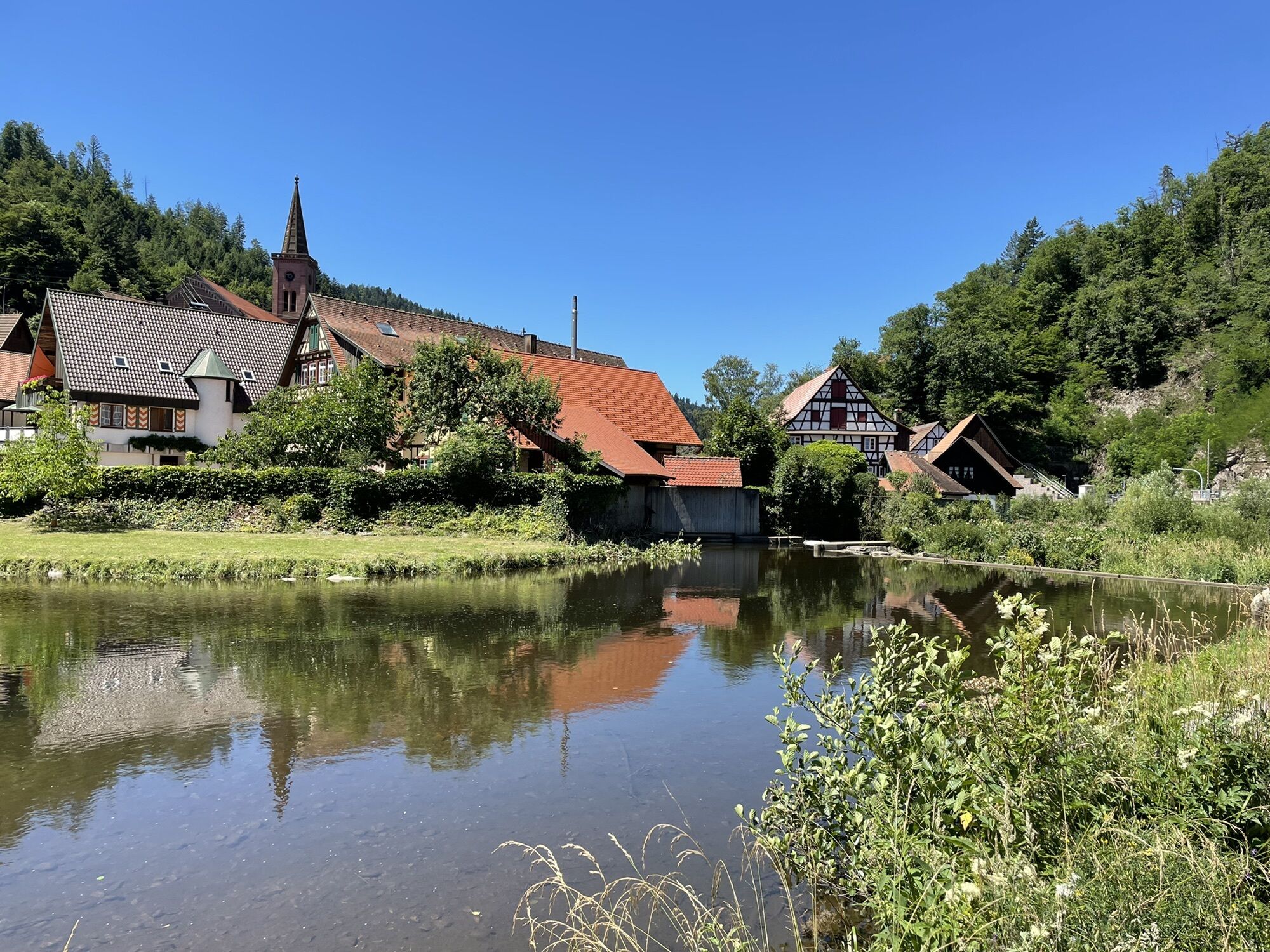
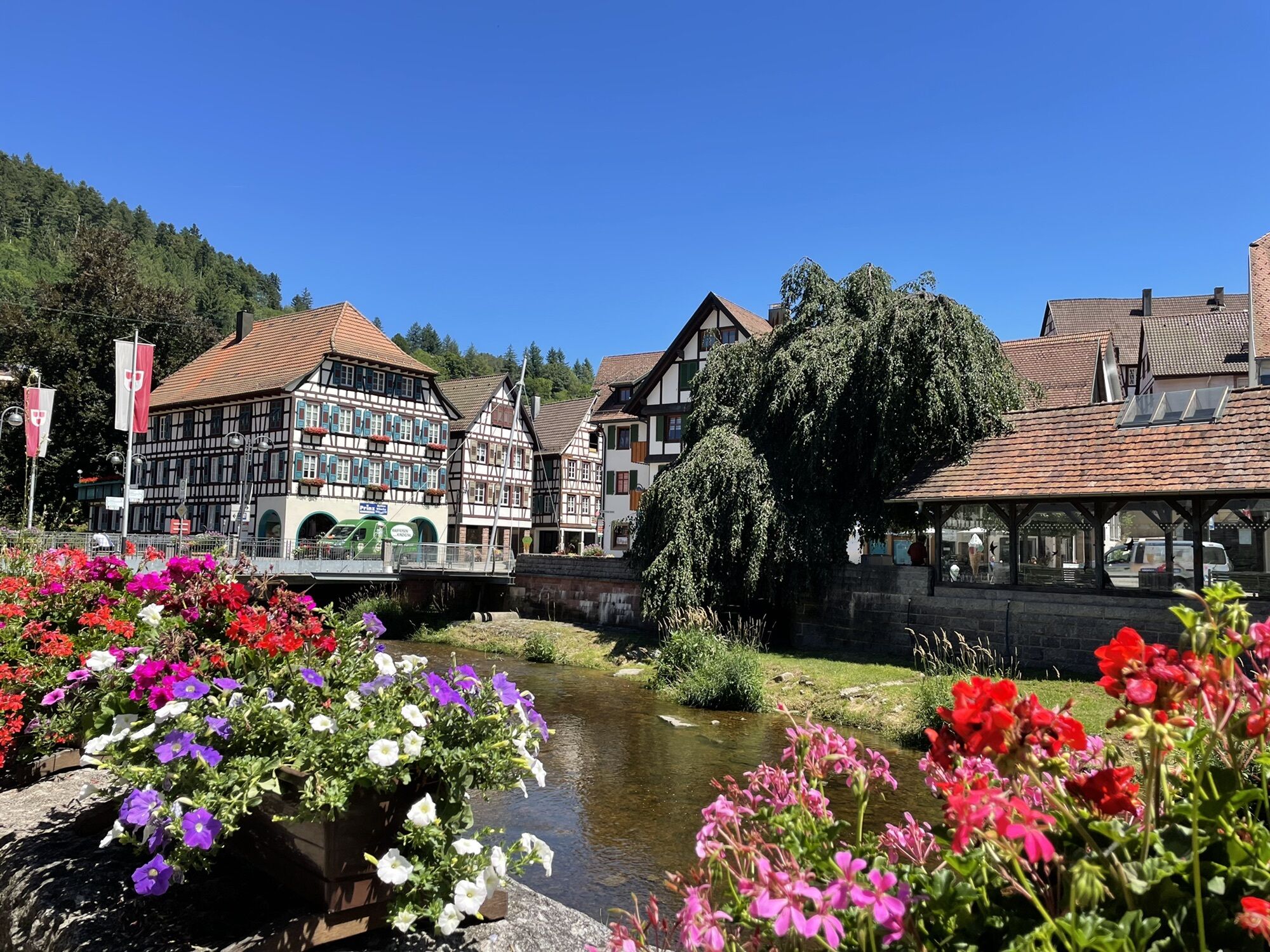
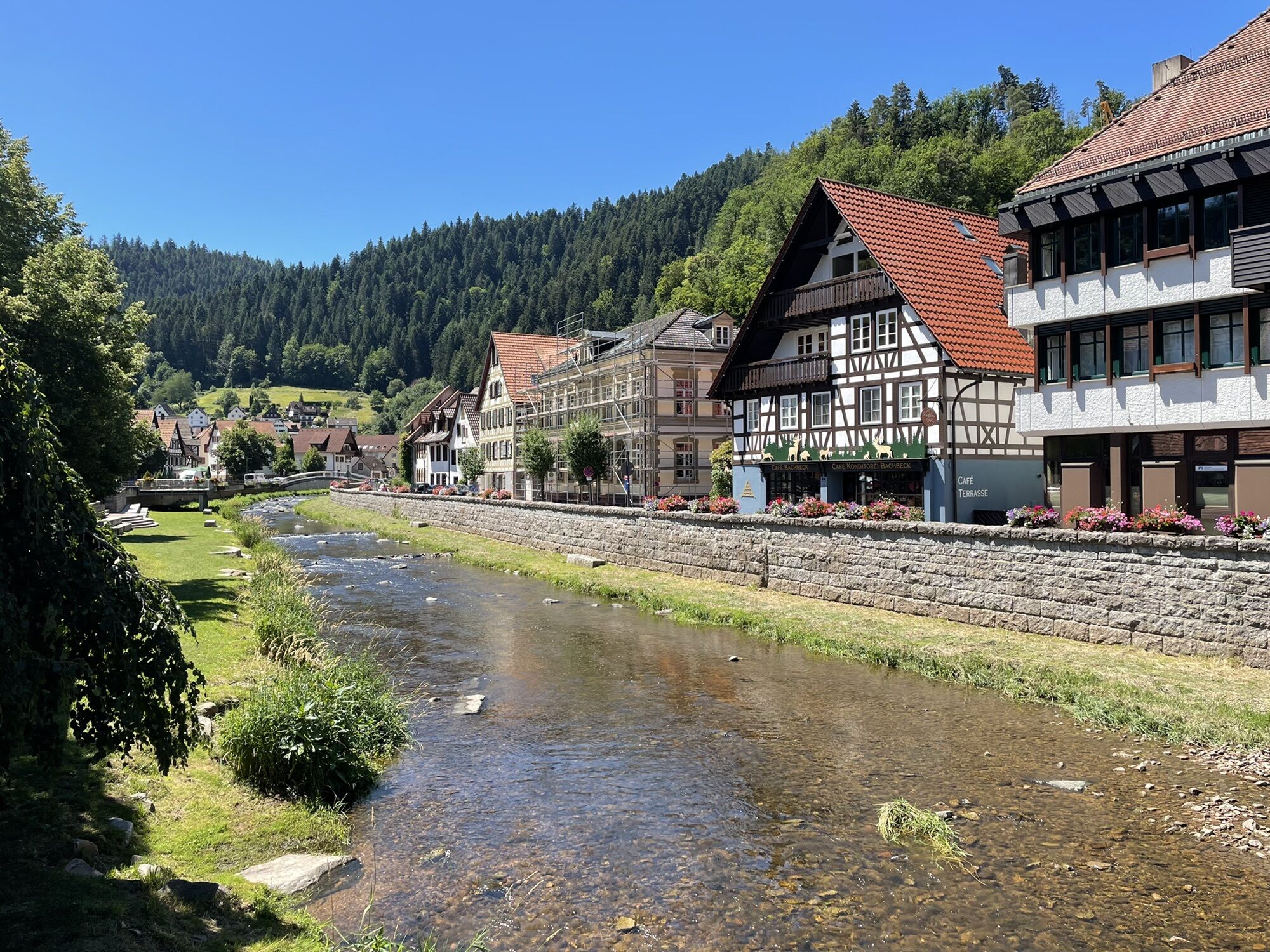
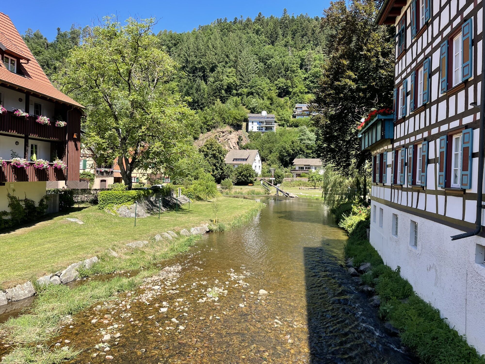
The route starts with a train ride to Alpirsbach. From the station towards the old town, the path turns right after about 200 m at the Löwen Post inn and leads over the federal road and then over a stone...
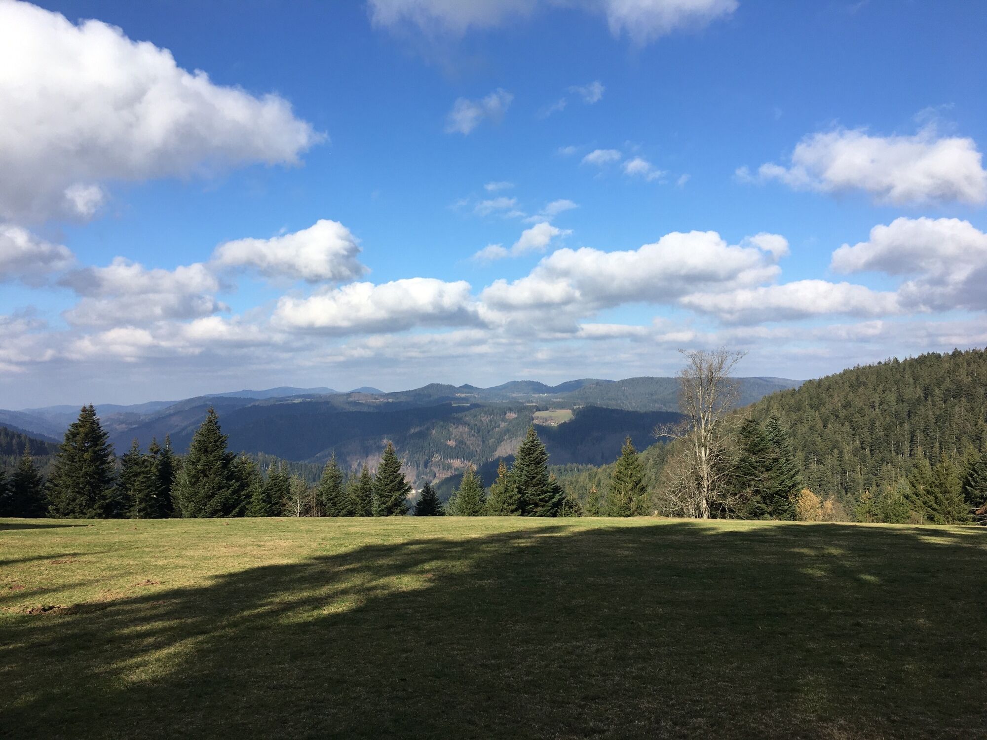
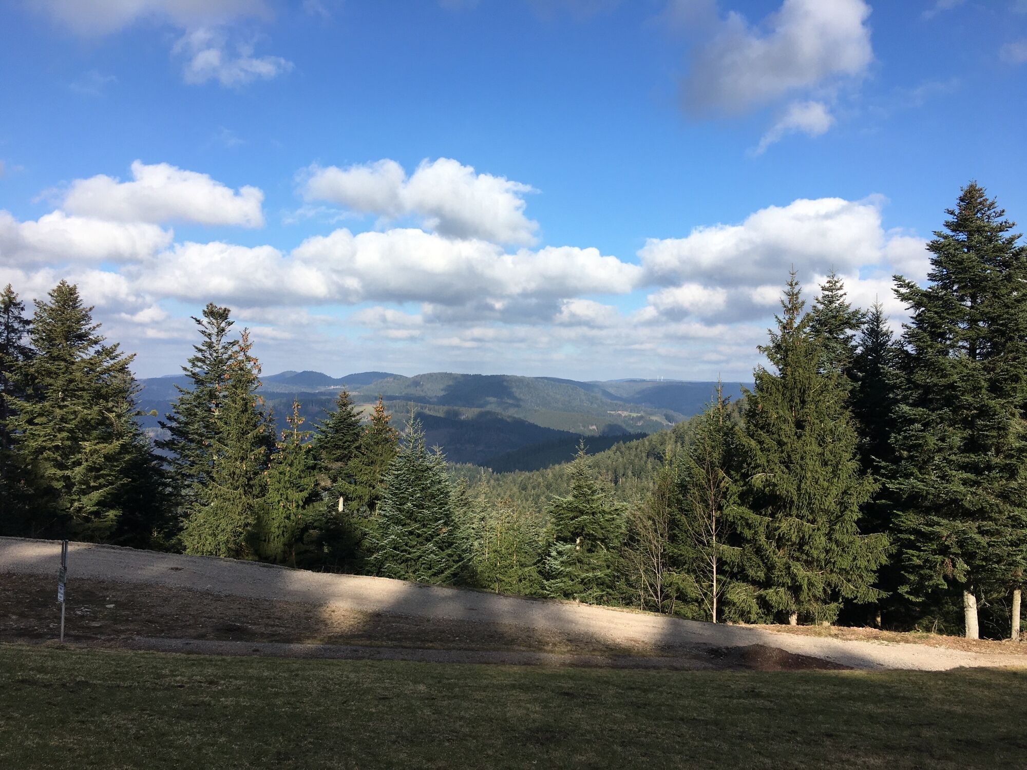
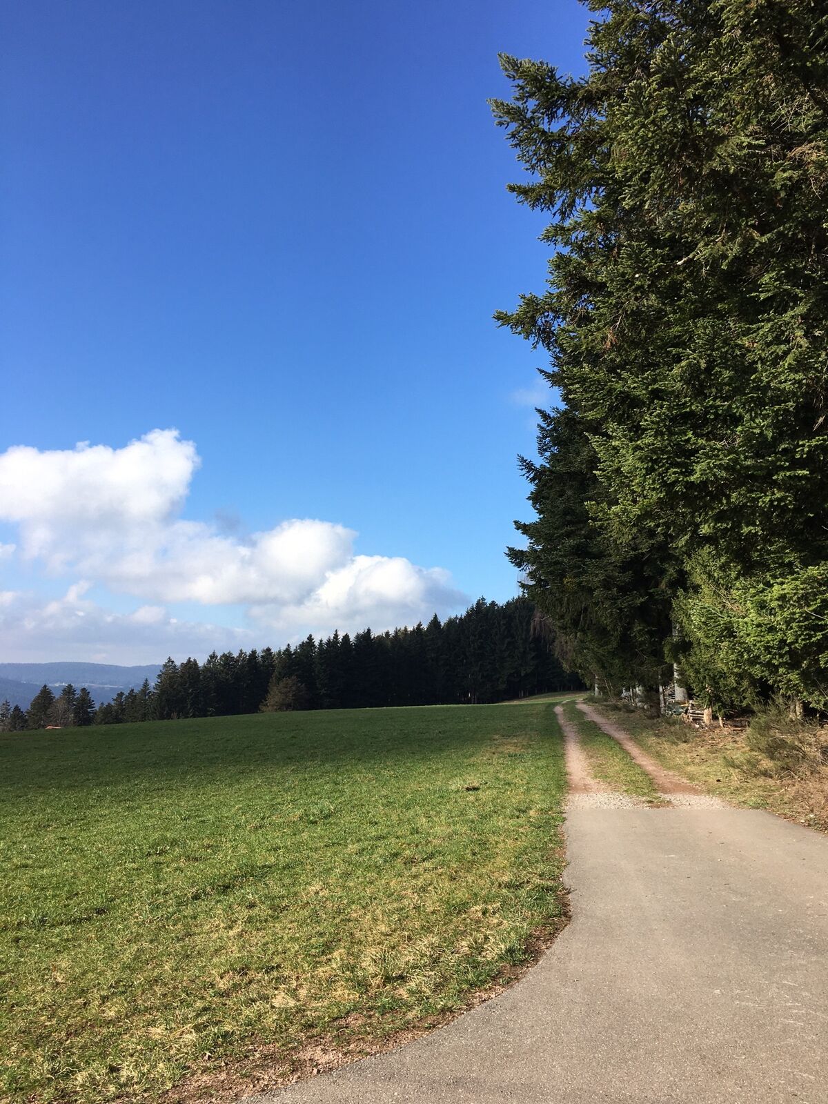
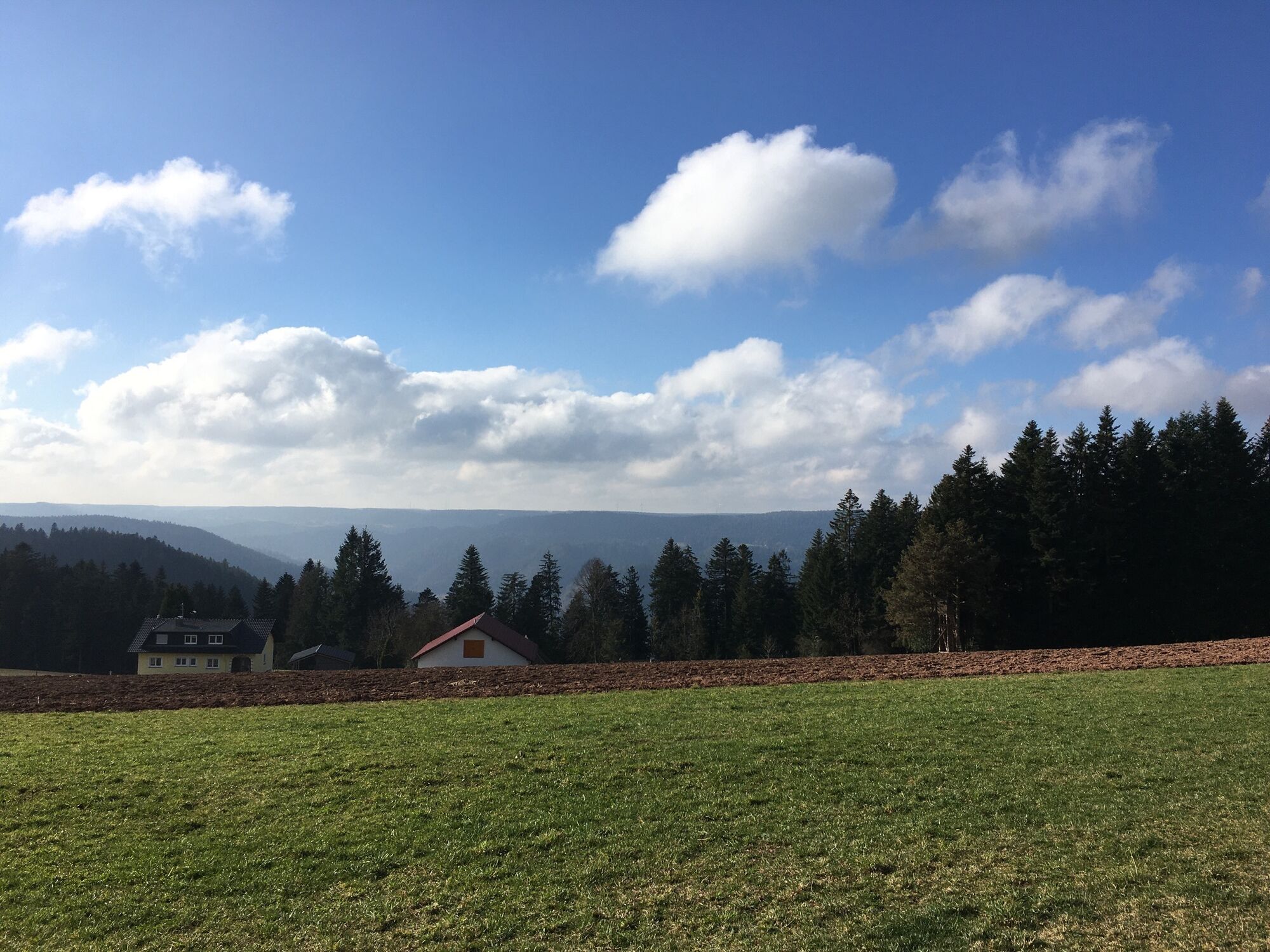
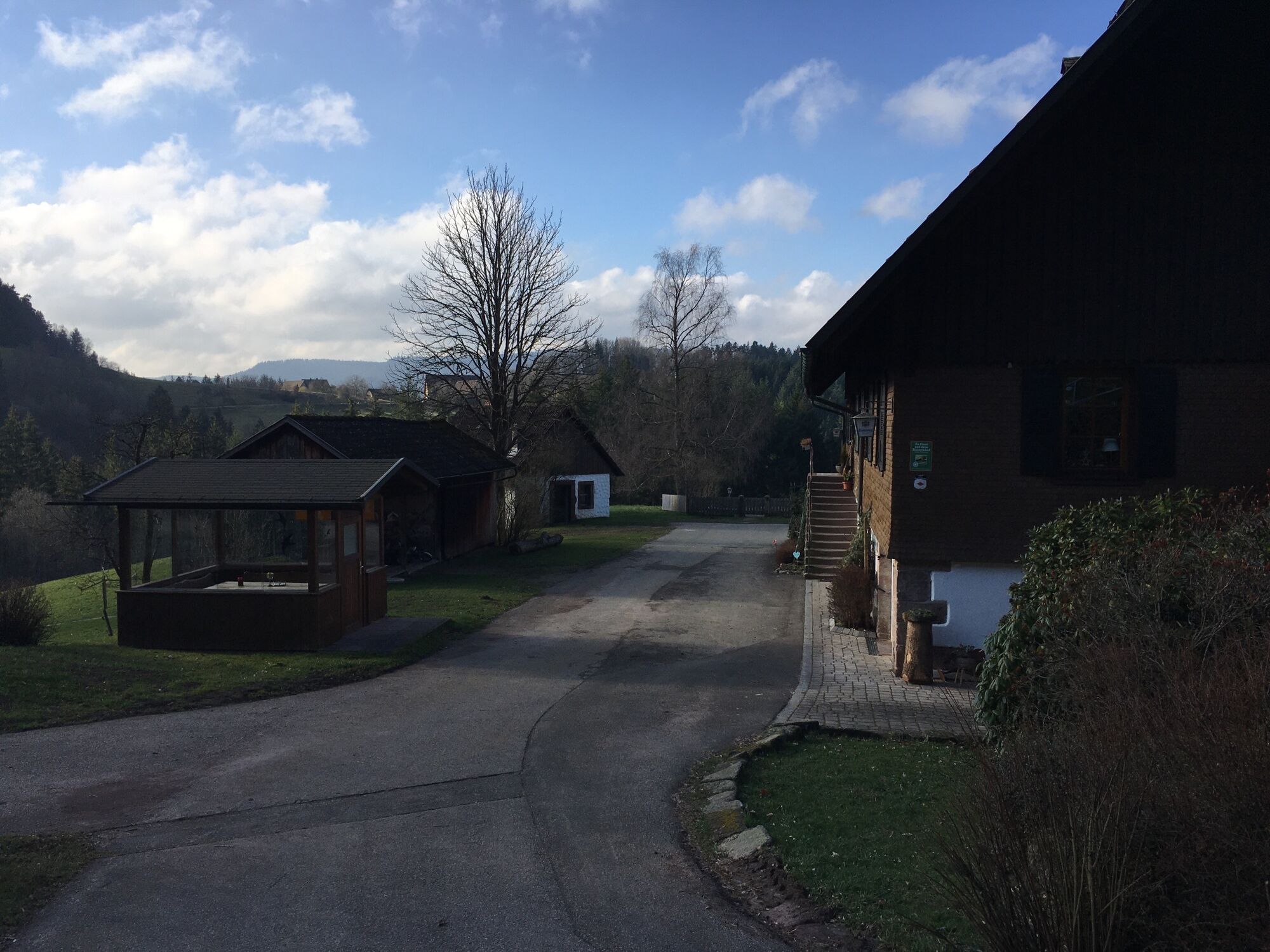
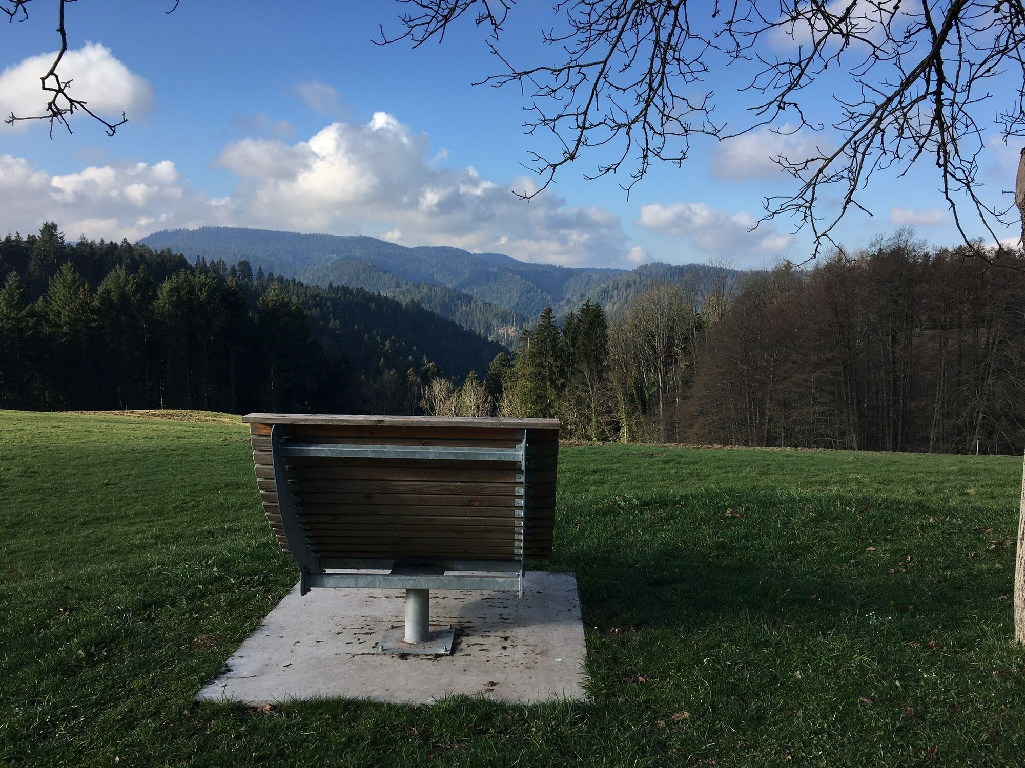
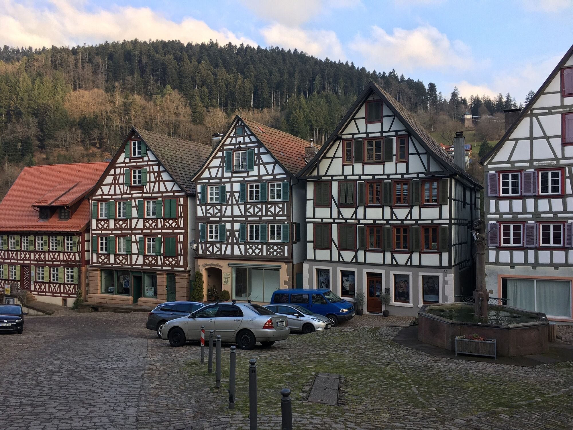
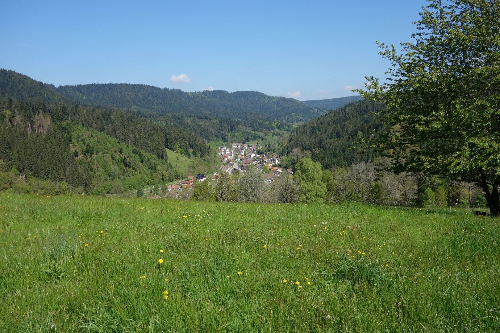
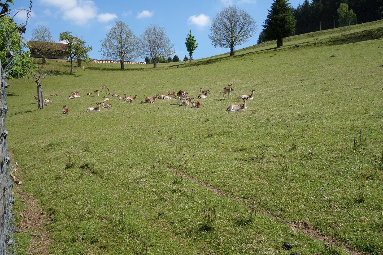
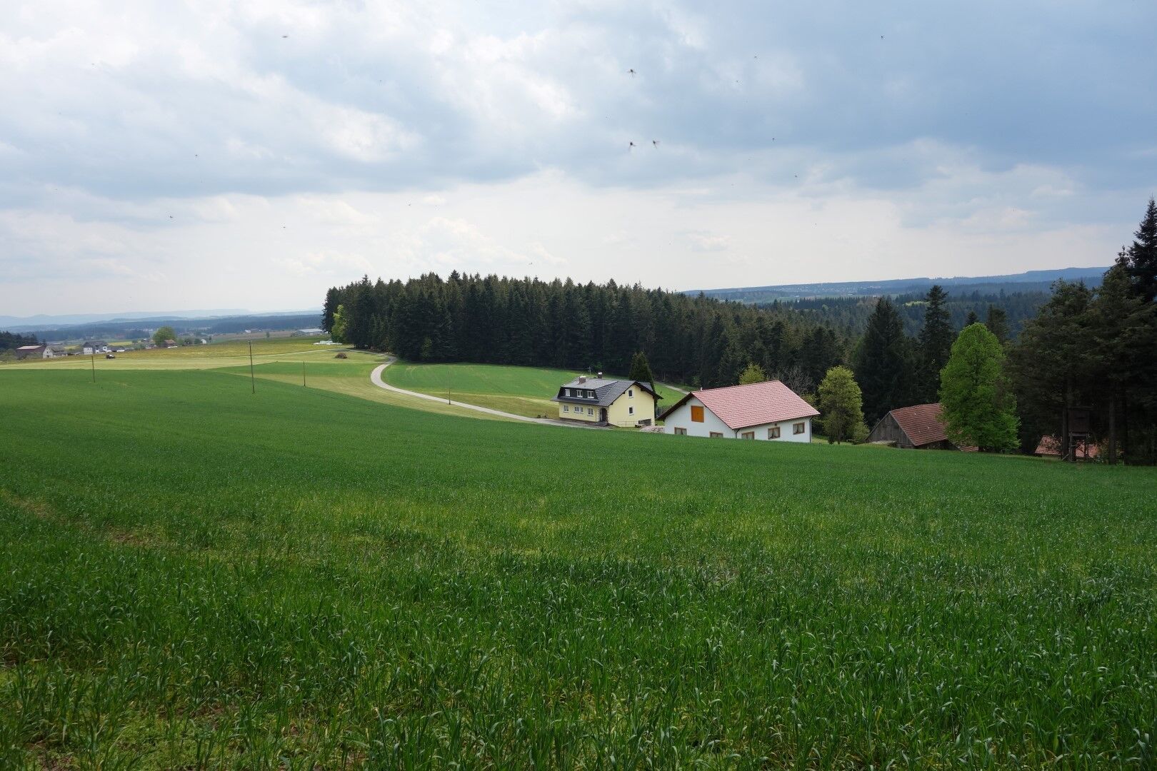
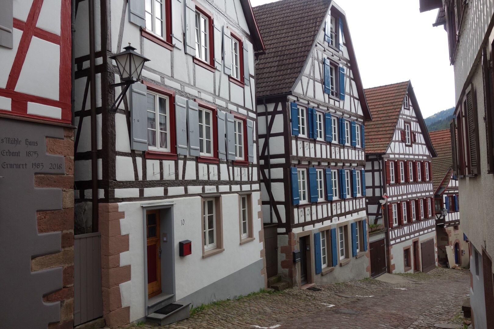
The route starts with a train ride to Alpirsbach. From the station towards the old town, the path turns right after about 200 m at the Löwen Post inn and leads over the federal road and then over a stone bridge towards Holzebene, always following the East Trail marker. On the narrow road on the slope, we hike down the “Upper Path” to the federal road, cross the road to Rötenberg, and then steeply past the cemetery to Adelsberg. A glance back gives us a beautiful view into the valley with Alpirsbach. Further uphill, we soon leave the paved road and follow the East Trail on gravel, meadow, and forest paths towards Holzebene / Zollhaus. In the Müllerswald, we leave the forest again, reach a high plateau, and follow the paved road towards Holzebene. On the paved road, after about 1.5 km, we reach the Brandsteig plateau and turn right towards Zollhaus. At the forest edge, a statue of Mercury reminds us of a former Roman temple site. After Zollhaus, we go on a stone and root path through a forested area until we reach Breitreute with a view over the meadows and fields to Aichhalden. Along the right-hand forest edge, we now orient ourselves by the yellow rhombus and follow the forest path “Hinter dem Ofen,” a path worn down and cut into the ground over decades. On the following paved road, after a few hundred meters, we turn right into the forest and hike on a narrow path into the old town of Schiltach.


From Rottweil (A81) along the B462 to Schiltach
From Freudenstadt along the B294 to Schiltach
From Offenburg (A5) along the B33/B294 to Schiltach
Follow the signs "Historic Old Town" to the city center
By train from Offenburg or Freudenstadt: hourly to the Schiltach-Mitte stop
For long-term parkers:
P1 (Lehwiese): free, no time limit
P2 (Bahnhofstraße): free, no time limit
Schüttesäge car park: free, no time limit
For short-term parkers:
Throughout the city center: free, 2 hours with parking disc
Place to eat: Schwenkenhof (At the Hinter dem Ofen junction, turn left – Schwenkenhof sign 0.4 km),
Holzebene – check opening hours
Pridobite vpogled
Vedno v živo na mestu z več kot 9.500 spletnimi kamerami. bergfex Kot uporabnik Pro si lahko zdaj ogledate ustrezne spletne kamere za številne izlete v aplikaciji izleti iz. Tako si lahko neposredno ogledate trenutne razmere.

Priljubljeni izleti v okolici
-
4.6
Bad Rippoldsau - Cafe & Restaurant Zum Schlüssel - Klösterle - Burgbachwasserfall
srednjaPohodništvo 11.2 km -
4.8
AugenBlick-Runde Lauterbach Güntersberg
svetlobaPohodništvo 10.2 km -
3.0
Lauterbach High Valley Circuit in the hiking paradise Alb - Black Forest
svetlobaPohodništvo 10.7 km -
5.0
Wolfach settlers' loop large round
srednjaPohodništvo 9.04 km -
5.0
Schiltach: Schenkenburg - Kaibach - Circular route
srednjaPohodništvo 12.3 km -
5.0
Premiumweg Wolfacher Schlossblick
srednjaPohodništvo 7.12 km -
5.0
AugenBlick Route Schramberg-Tennenbronn
srednjaPohodništvo 9.11 km -
4.5
Kirnbacher-Bollenhut-Talwegle - Winterberg path
srednjaPohodništvo 9.56 km -
4.0
Flößerpfad Kinzigtal
srednjaTematska pot 33.6 km -
High above the Berneck valley
težkoPohodništvo 13.0 km
Pohodništvo in sledenje


Ne zamudite ponudb in navdiha za naslednje počitnice
Vaš e-poštni naslov je bil dodan na poštni seznam.





