







11 - Around Ramschel
The former residential town of Bad Urach lies in the middle of the UNESCO Biosphere Reserve Swabian Alb. Wonderful nature, fresh air and the picturesque half-timbered town provide a relaxed deep breath...
The former residential town of Bad Urach lies in the middle of the UNESCO Biosphere Reserve Swabian Alb. Wonderful nature, fresh air and the picturesque half-timbered town provide a relaxed deep breath and restful holiday days.

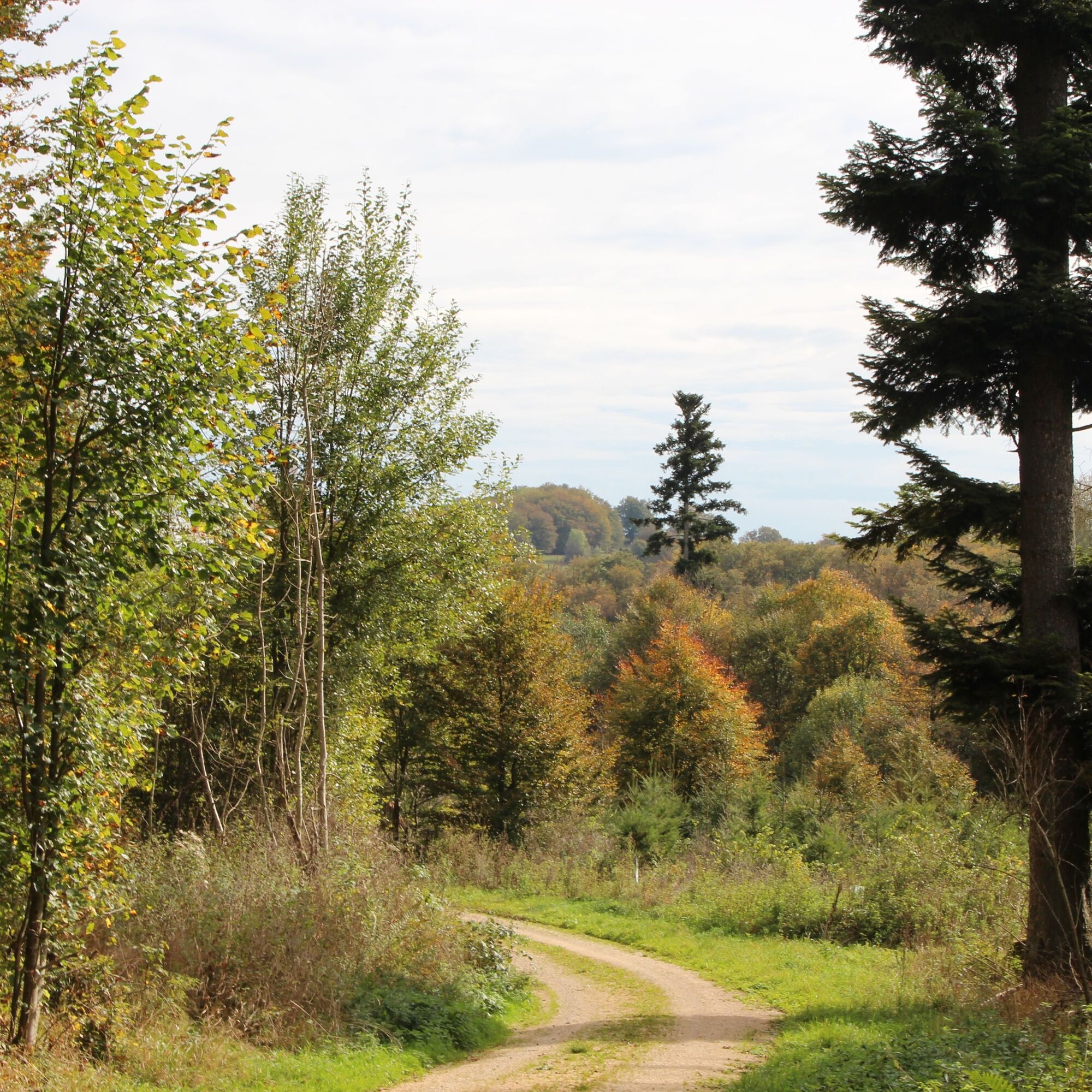
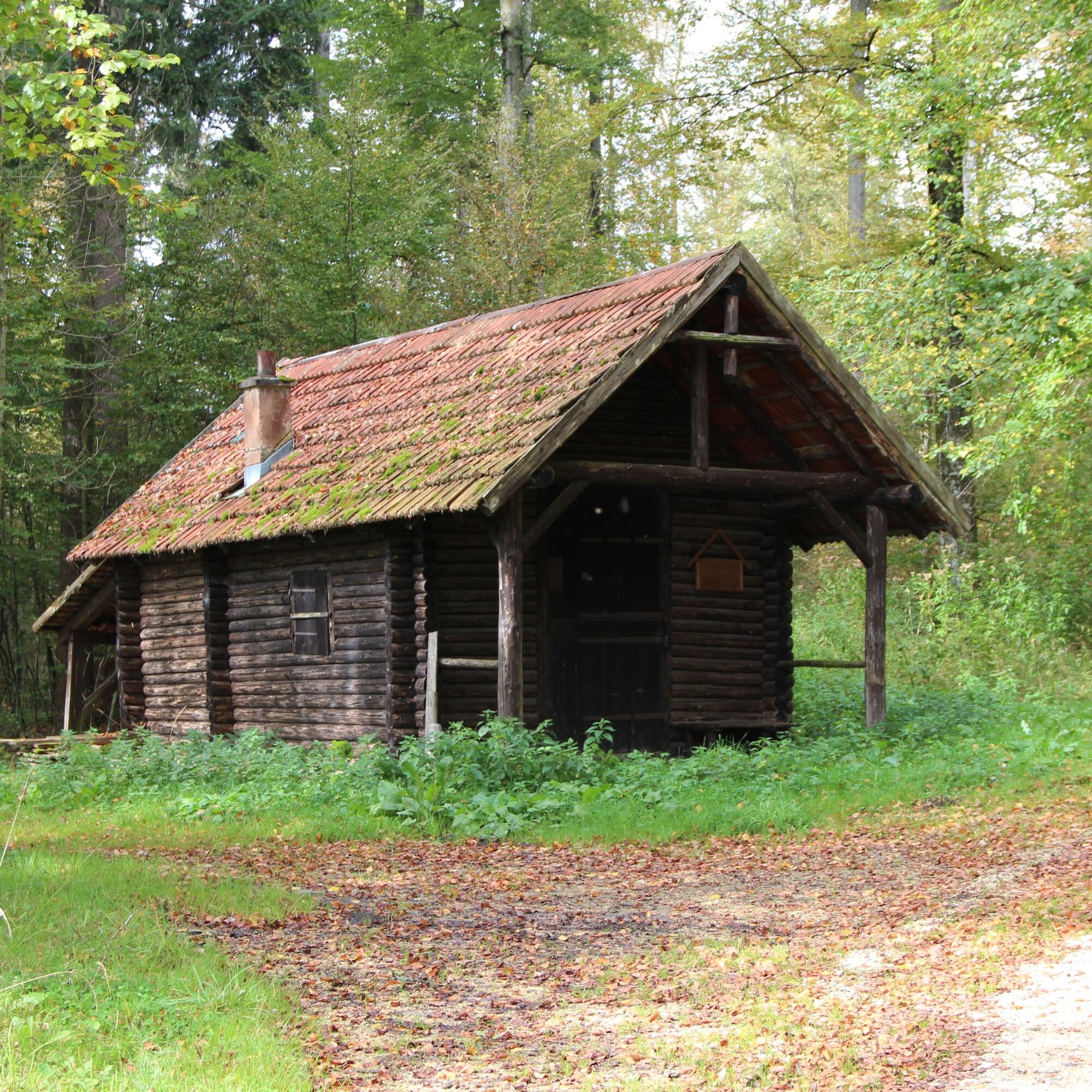
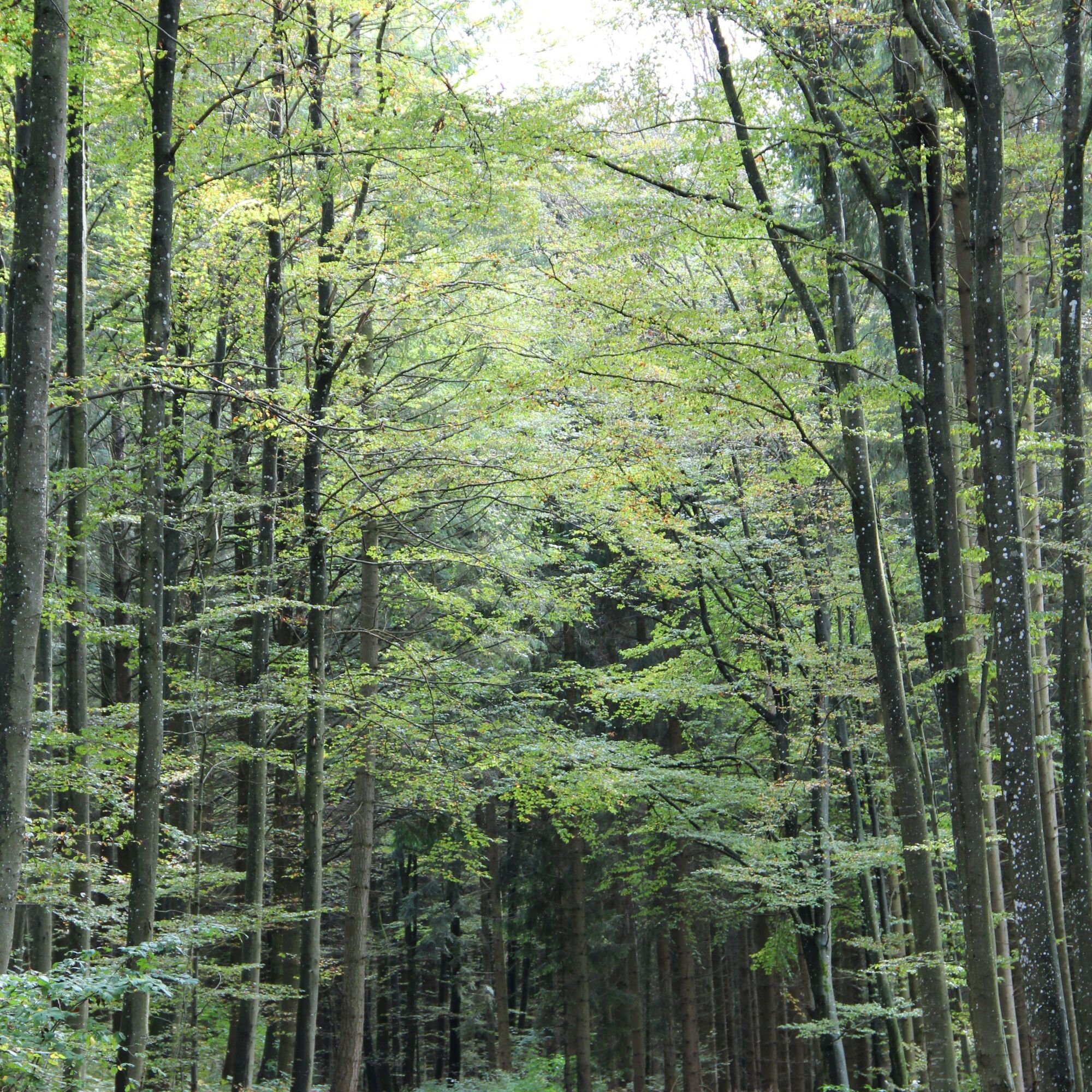

From the parking lot, we first hike southeast towards the edge of the forest. The old fruit trees along the road are a reminder of the once significant fruit cultivation on the meadows around Bad Urach-Hengen. At the fork leading downhill to the Schützenhaus, we continue straight ahead along the avenue of fruit trees.
At the forest edge, we turn right onto a forest path, from which we have a view into the small, dry forest valley Engertle before it leads into the Ramschel forest. At a forest hut, we turn right onto a forest path. After a left curve opposite a forest hut, we first hike through high forest, then along the ridge towards the Bruck valley.
At the perpendicular junction of our path into another forest path, we continue to the right. A sign on a tree indicates that we are in the Marienbuch forest district. We reach the edge of the forest, where we first cross the outlier of a small wooded valley and then arrive at the agricultural properties of the Agilshardt estate, between which a farm road runs. We turn left onto this road.
Those who want to take a detour to get to know the Agilshardt estate, which is just under a kilometer away, should go right. But we walk along the old connecting road between Bad Urach-Hengen and the Agilshardt estate along the fields of the estate. At a left curve of the farm road, the path from the wooded Mönchsberg joins from the right. This hiking path is marked with a yellow triangle. In this area, we also have a nice view of Römerstein-Böhringen (757 m), which is surrounded by a varied, strongly rolling forest and meadow landscape.
Behind Böhringen, the Römerstein (874 m) with its observation tower is visible, the highest elevation of the Urach Alb.
After a short section through the forest, we come to a clearing that belongs to the Agilshardt estate. In this area once stood the hamlet of Zimmerbuch.
Over the clearing, the view sweeps over the site of the former Münsingen military training area around the area of the abandoned village of Gruorn, of which only the church and a few buildings remain. Behind the clearing, we briefly enter the Zimmerbuch forest again. At the forest edge, we then meet the avenue of fruit trees, which leads us back to the hiking parking lot.
Da
Sturdy footwear, hiking poles and surefootedness are recommended for this route.
Our circular tours are not walks but hiking trails. Sturdy footwear, hiking poles and surefootedness are recommended for all tours. Especially after and during rainfall as well as in winter months, the calcareous rock and the ground can be very slippery, especially on slopes. We ask you to be appropriately cautious.
Please always dial 112 in an emergency. Please mention if the injured persons are in inaccessible terrain so that the Bad Urach mountain rescue service is also informed and no unnecessary delay occurs during the rescue operation.
On the posts of the signposts you will find a plaque with the exact location number. This is known to the control center. In an emergency, quick help is guaranteed this way.
Drive on the B28 towards Bad Urach. Then take the country road 245 (Bad Urach - Hengen - Römerstein), where the Zimmerbruch hiking parking lot is located in an open field.
Take the Ermstalbahn to Bad Urach station. From the central bus station, take bus line 7642 to the stop Hengen-Rathaus. From there, about 600 m to the parking lot.
P33 - Zimmerbuch
Also discover our 5 premium hiking routes Grafensteige: Wasserfallsteig, Hohenurachsteig, Hochbergsteig, Hohenwittlingensteig or Seeburgsteig. All premium hiking routes lead you to the most beautiful places in Bad Urach.
http://www.badurach-grafensteige.de
Priljubljeni izleti v okolici
-
4.8
Wasserfallsteig Bad Urach
srednjaPohodništvo 10.2 km -
4.8
Löwenpfad "Filsursprung-Runde" - pure nature around the Reußenstein
srednjaPohodništvo 14.1 km -
4.8
Hohenwittlingensteig Bad Urach
srednjaPohodništvo 6.48 km -
4.8
Hohenurachsteig Bad Urach
srednjaPohodništvo 7.65 km -
4.0
Seeburgsteig Bad Urach
srednjaPohodništvo 8.19 km -
4.5
Bad Urach Wasserfall, Runde von Buchhalde
srednjaPohodništvo 12.1 km -
4.5
16 - Through the Trailfinger Gorge
srednjaPohodništvo 6.16 km -
5.0
Lenningen: Weiße Lauter, Wasserfels, Guttenberger-,Gußmannshöhle, Schopflocher Moor, Hohgreutfels, Ruine Wielandstein
srednjaPohodništvo 15.7 km -
5.0
Breitensteinrunde
svetlobaPohodništvo 10.3 km -
Trauf, Höllenlöcher, Wasserfälle und Tal
srednjaPohodništvo 15.8 km
Pohodništvo in sledenje


Ne zamudite ponudb in navdiha za naslednje počitnice
Vaš e-poštni naslov je bil dodan na poštni seznam.





