







Türkenlouis circular route - extension 4 km
The Türkenlouispfad impressively combines nature, history and magnificent views in the Black Forest Highlands. The extended version of the circular walk extends the route by around four kilometres and...
The Türkenlouispfad impressively combines nature, history and magnificent views in the Black Forest Highlands. The extended version of the circular walk extends the route by around four kilometres and offers even more opportunities to discover the varied Black Forest landscape and the historical sites around Breitnau (alternative: shorter version of the Türkenlouispfad).
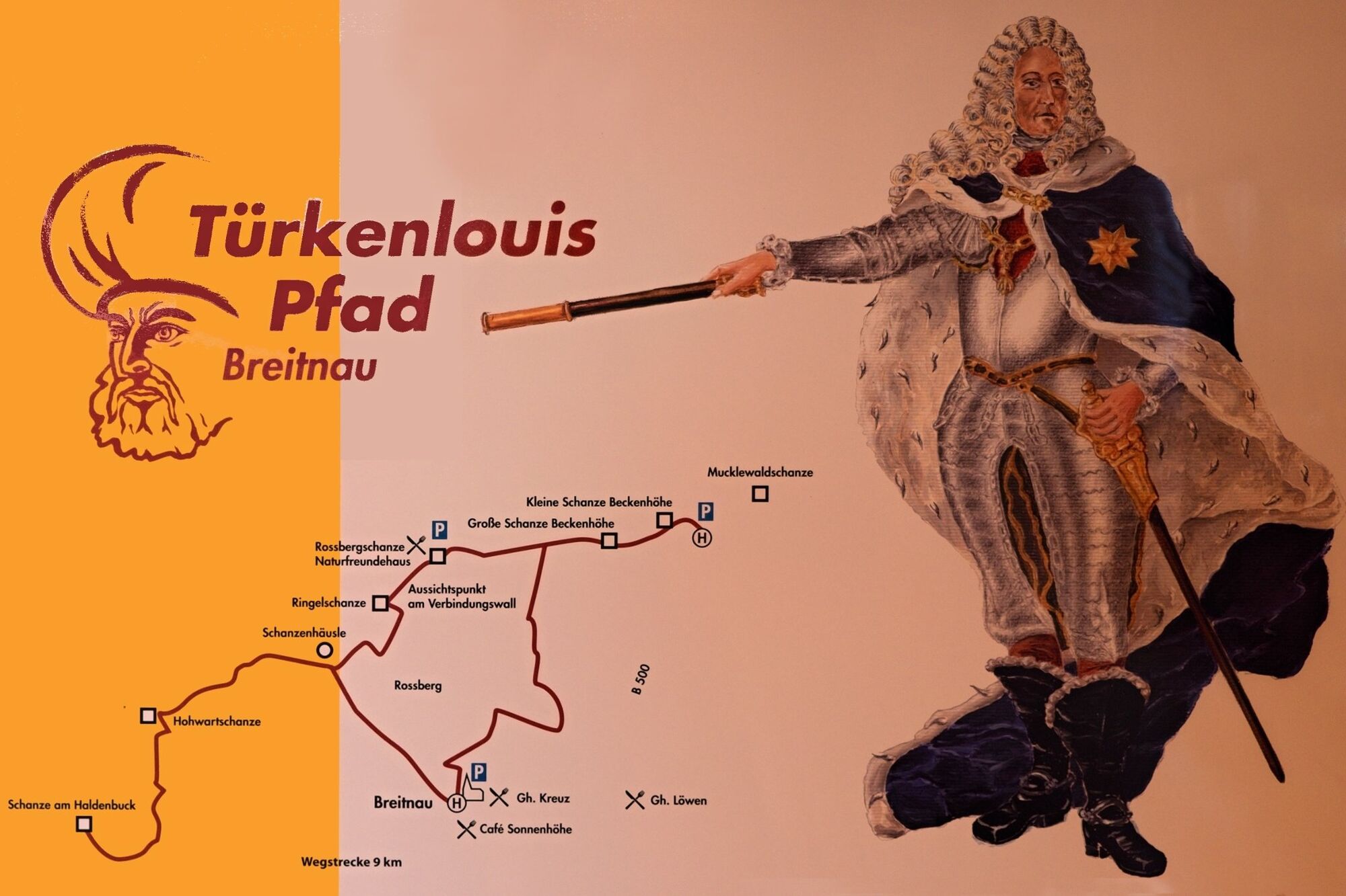
Following in the footsteps of the famous Margrave Ludwig Wilhelm von Baden - better known as "Türkenlouis" - the tour leads to the baroque defences that were built at the end of the 17th century to protect Habsburg rule against French attacks.
The route runs from Breitnau over the Roßberg and on to the Fahrenberg before returning to the village via the Ringelschanze. Along the way, a total of 7 historic redoubts provide an impressive illustration of why the defence lines were once built on the ridges. Centuries ago, sentries kept watch for approaching troops where today you can enjoy sweeping views over the Rhine Valley, the Vosges mountains, the Feldberg and the Swiss Alps. The hiking trail, which is signposted throughout with the Türkenlouis logo, therefore offers impressive panoramic views time and again.
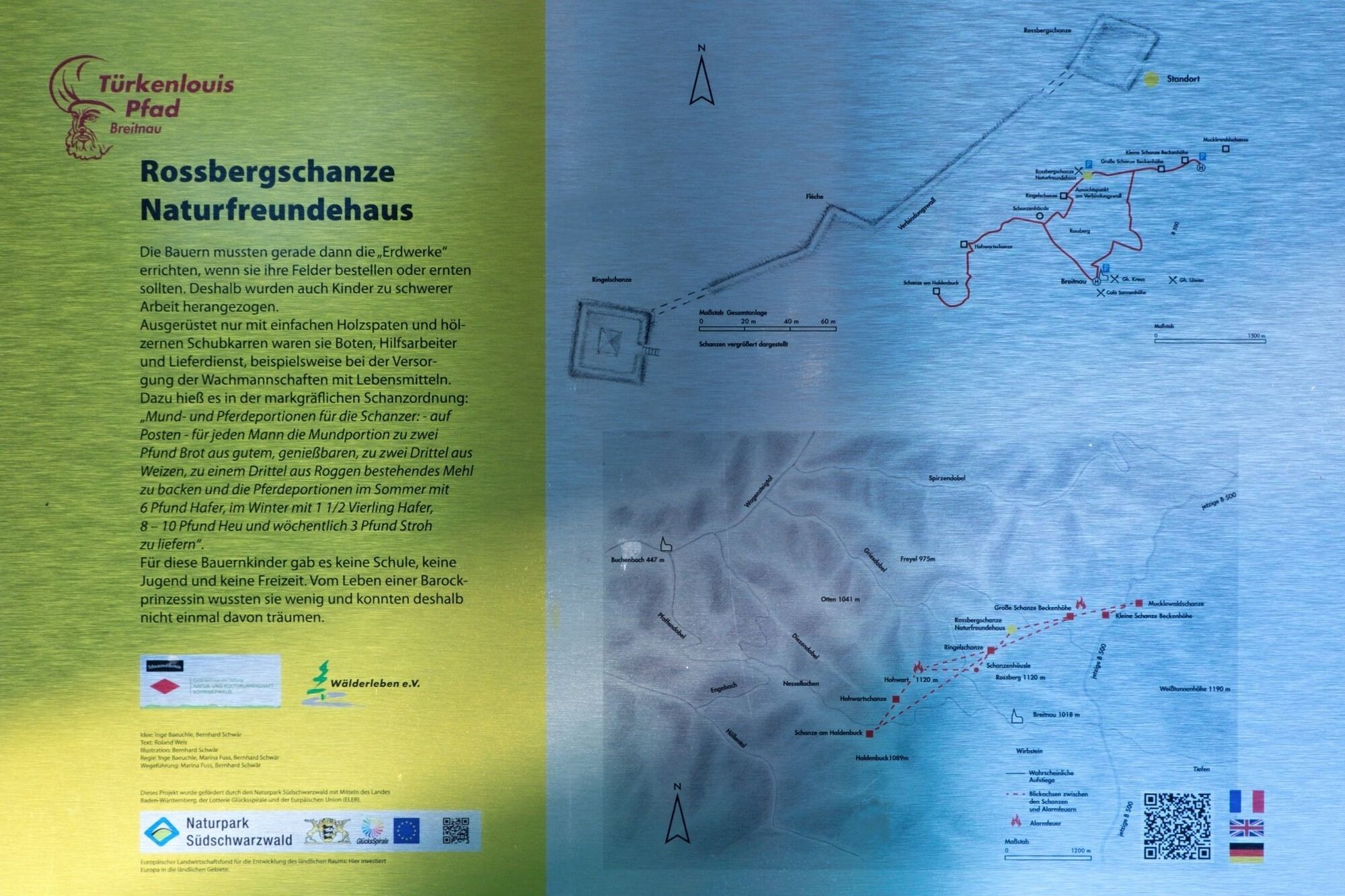
The Türkenlouispfad combines history, culture and regional commitment in a particularly successful way. On the initiative of the Wälderleben e.V. cultural association, the historic ski jumps have been restored and linked together on this hiking trail. Signs at the entrances to the redoubts provide information about the history of the Türkenlouispfad with lovingly designed illustrations and exciting background information. The hand-made drawings by artist and graphic designer Bernhard Schwär give the trail a special character and bring the past to life along the route. More information on the creation of the Türkenlouis illustrations.

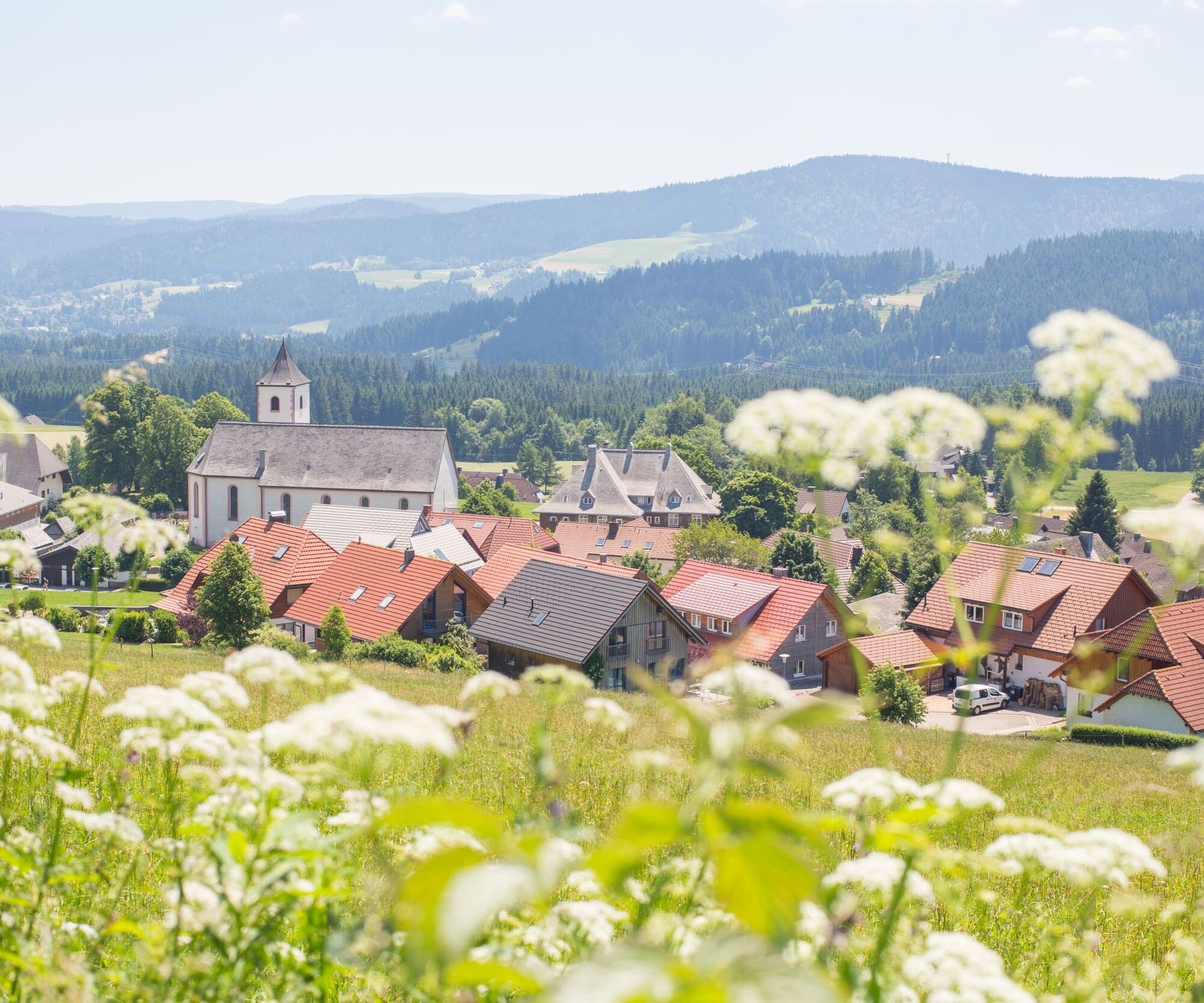

We start in Breitnau at the church car park, near the Breitnau church bus stop, and hike up the Roßberg following the Türkenlouis logo. On a clear day, you can see the Swiss Alps from there.
From here, we continue towards the radio mast on the path through the meadow and then turn right through the forest to Bartleshöhe, from where we turn left to Hugenweiher.
We walk past the Hugenweiher pond on the left and up the meadow to the upper Fahrenberg. There we are rewarded with a magnificent view of the Vosges, the Kandel, St. Peter and St. Märgen.
This is the first time hikers understand why the defences are located on the mountain ridges. The marvellous view we enjoy today was a lookout point centuries ago: Who is approaching, from where, how fast, in what clothing, with what manpower and horsepower?
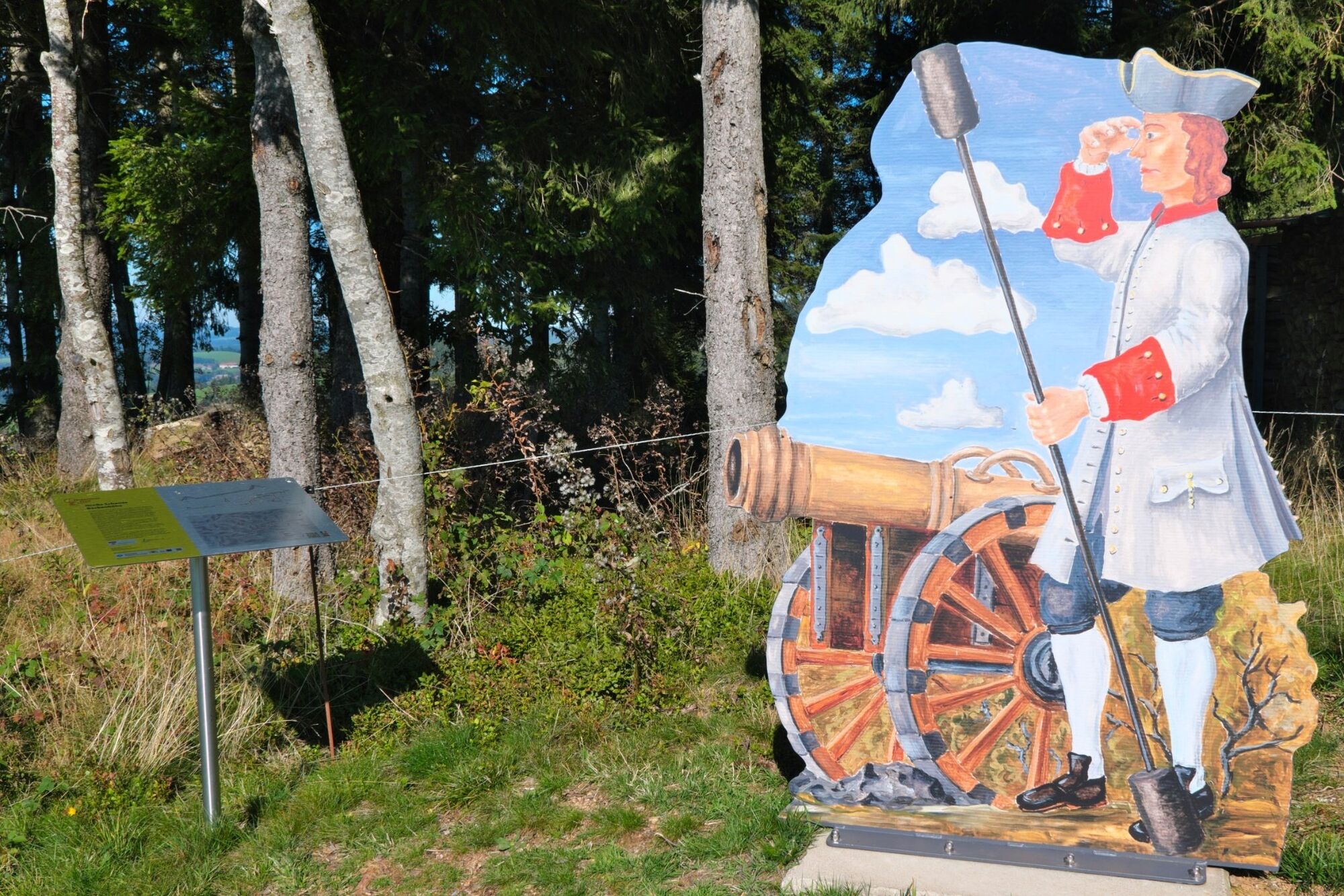
Now we turn right towards the Große Schanze Beckenhöhe, which is indicated by the statue of an imperial Habsburg cannoneer.
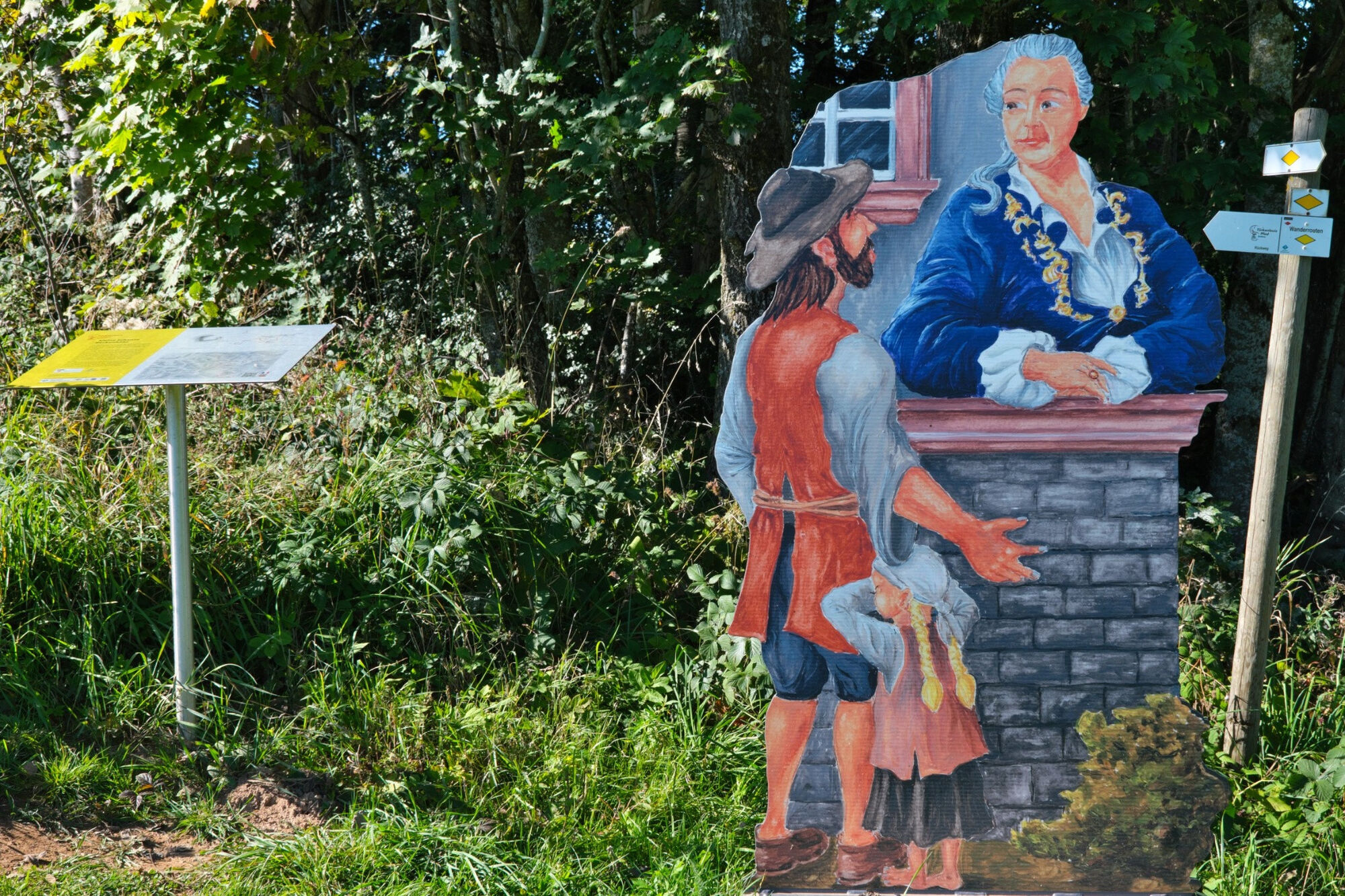
To the east is the Kleine Schanze Beckenhöhe. From a distance, you can already see the nobleman in conversation with a farmer. The gentleman from the von Sickingen family is splendidly and colourfully dressed and looks down on the poorly dressed man from above.
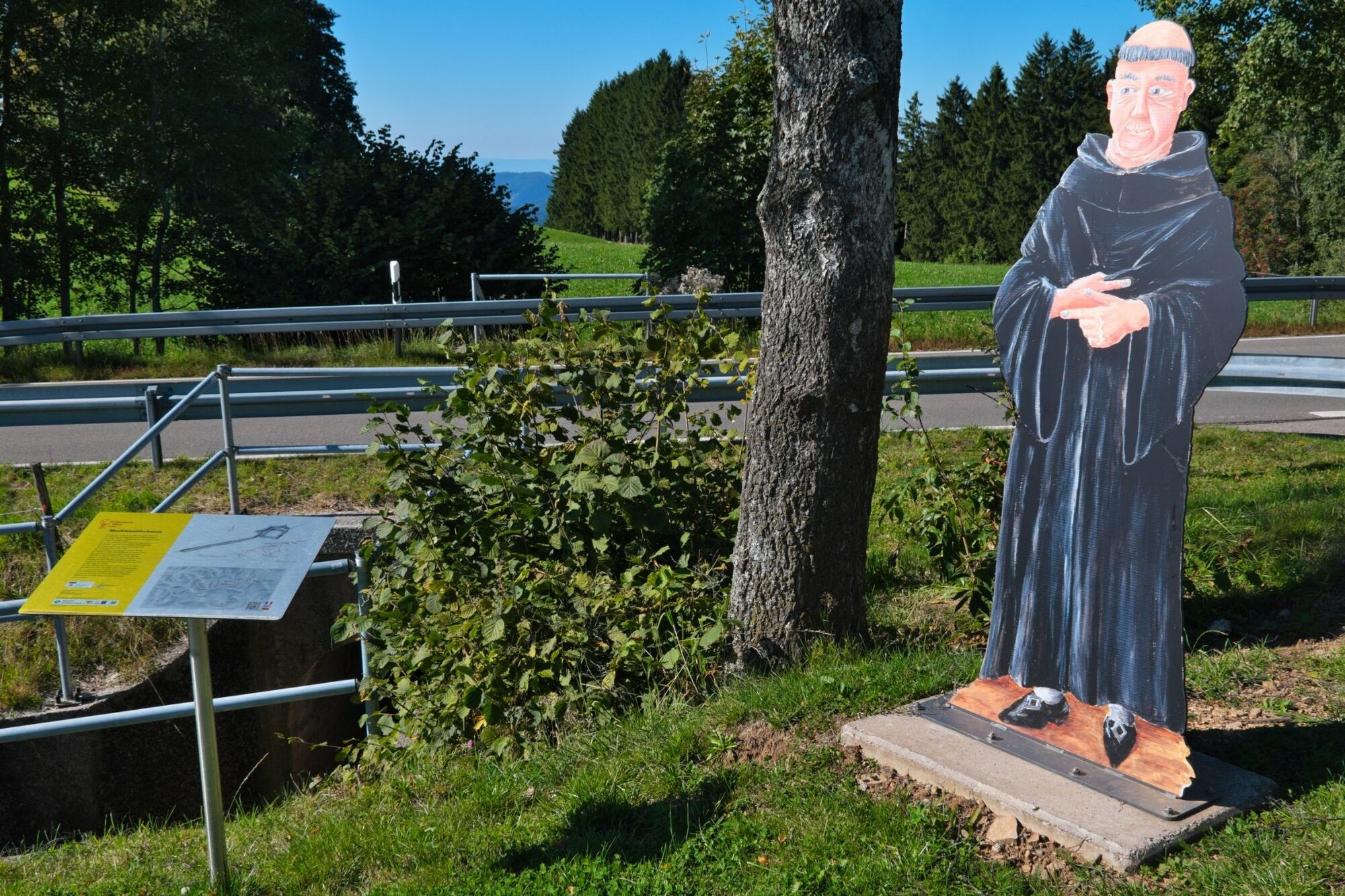
If you wish, take a short detour in the direction of the B 500 motorway and pass underneath it. An Augustinian monk stands to the right of the B 500 towards St. Märgen. He is pointing towards St. Märgen, which can be seen from this point.
The well-preserved Mucklewaldschanze is hidden to the north-east up in the forest towards Fahrenberger Höhe.
If the diversions is too far for you, walk from the Kleine Schanze Beckenhöhe along the road towards Oberer Fahrenberg and the Naturfreundehaus. At Beckenhof, we pass a stone wayside shrine erected in memory of two children who lost their bearings in a snowstorm on their way home in the winter of 1543 and froze to death just a few metres from the farm.
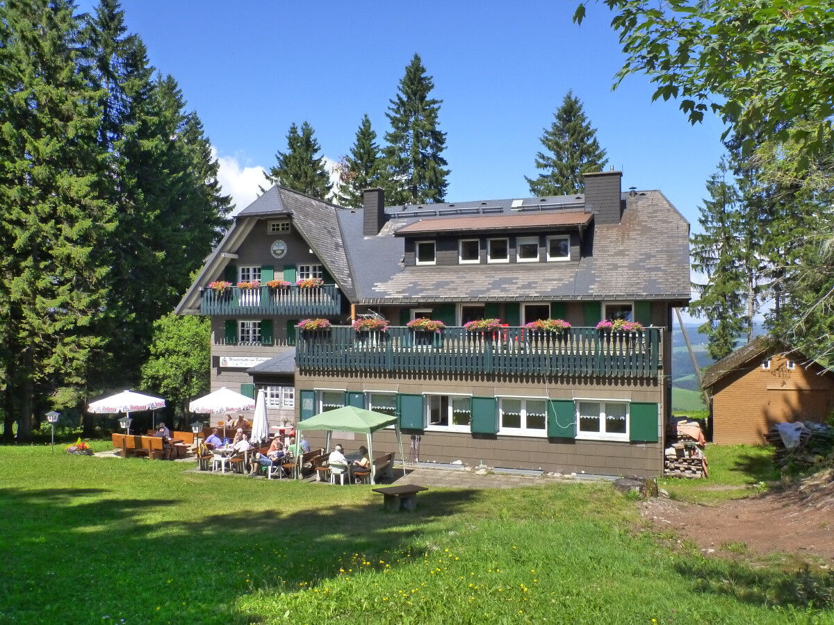
From there, it is only a few metres to the Naturfreundehaus.
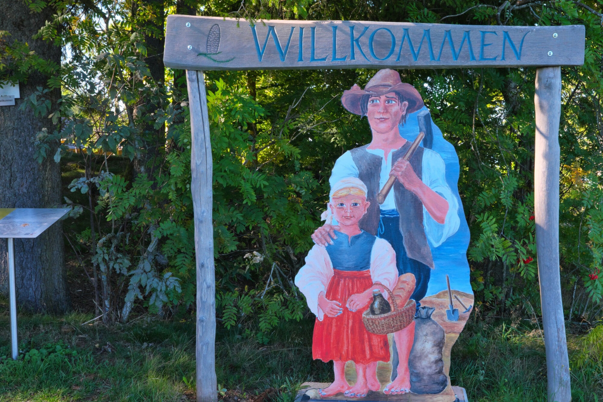
Two children greet us at the entrance to the Rossbergschanze at the Naturfreundehaus.
There is a children's playground with barbecue facilities in the grounds, and next door we can take a break in the hikers' centre.
Refreshed and energised, we follow the path to the Ochsen and then turn left to the viewing point at the connecting wall. There you can enjoy an impressive view of the moat.
Now we follow the signs on the narrow path along the rampart, crossing two forest paths on the way to the Ringelschanze.
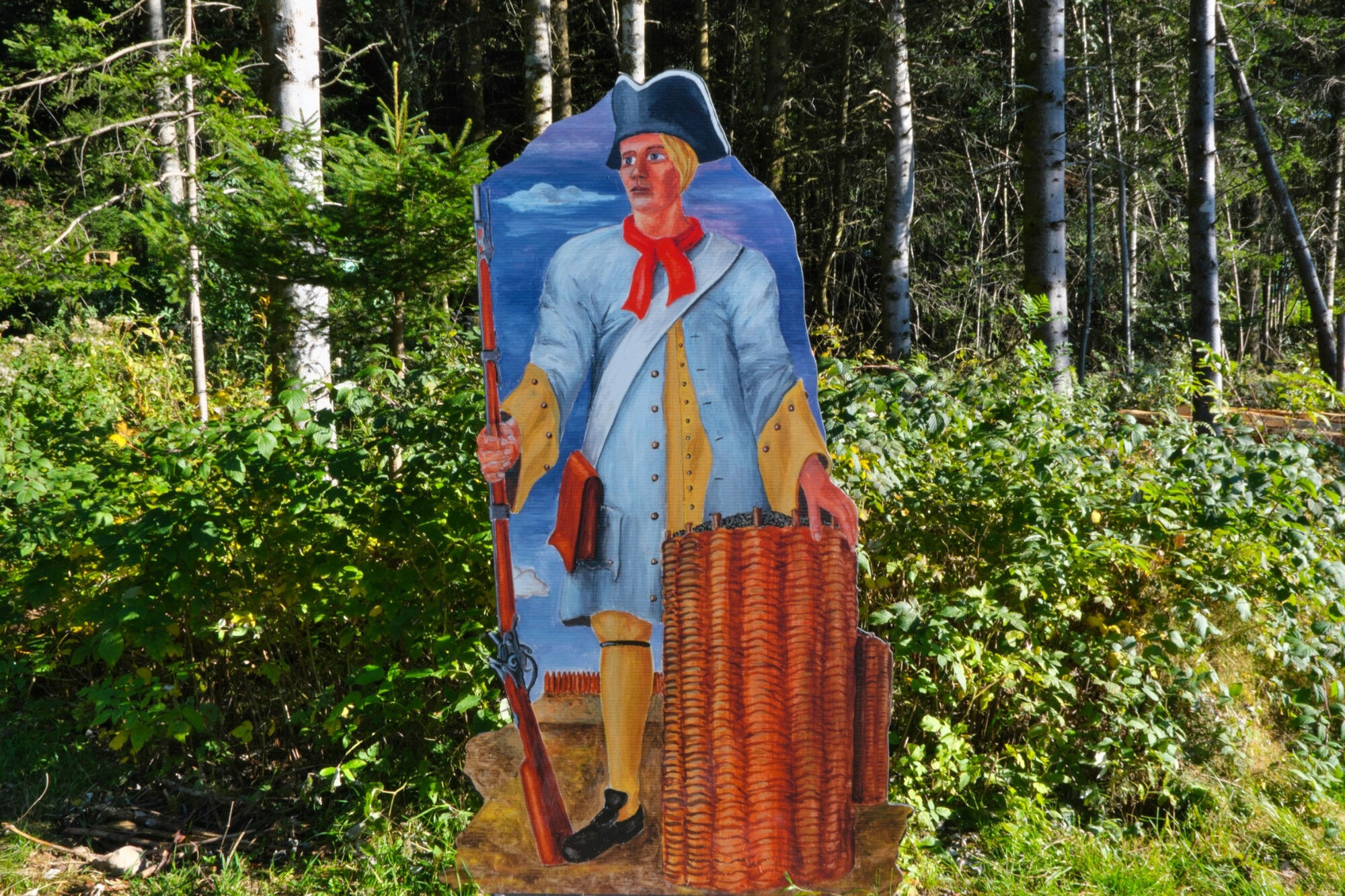
An imperial Habsburg foot soldier with an armoury welcomes us in front of the Ringelschanze. We cross the newly built bridge to enter the site, where the Black Forest Association and Wälderleben e.V. have erected a log cabin.
The entrenchment was cleared of trees, the moats were dug out and the north-west corner of the rampart was restored in accordance with the specifications of the State Office for the Preservation of Monuments; palisades and bulwarks were erected there based on historical models.
From the hut and the rampart, we can let our gaze wander over the Feldberg, the Schauinsland, the Vosges and the Kandel.
We now follow the signs to the Schanzenhäusle, once the assembly point and command centre of the local army; this is indicated by the plaque on which farmers and a soldier are passing the time playing cards. This was also the assembly point for the men from Breitnau, should the storm bell ever ring.
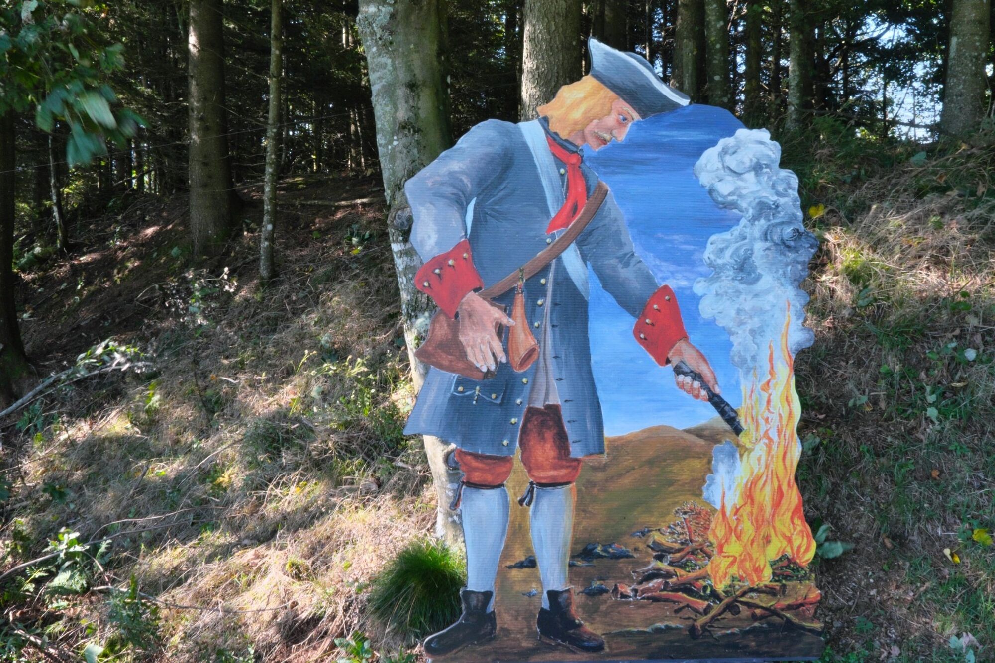
From there, we turn right up to Hohwart, the high watchtower. Even from a distance, we can see the imperial Habsburg foot soldiers lighting an alarm fire.
The Hohwart redoubt stands out from the other redoubts with its caroon-shaped ground plan. It guarded the Nessellachenweg and the Diezenbachdobel.
On a clear day, the panorama is breathtaking: Hinterzarten, Hochfirst and the Swiss Alps, with the striking peaks of the Säntis and Tödi.
Now we take the same route back to the Schanzenhäusle and over the Roßberg to Breitnau.
Alternatively, there is a 4 kilometre longer return route from the Hohwartschanze via the Haldenbuck. We walk to the windmill, then cross the road, turn left, then right again towards the forest, which we cross straight ahead, at the edge of the forest we turn right and follow the signs.
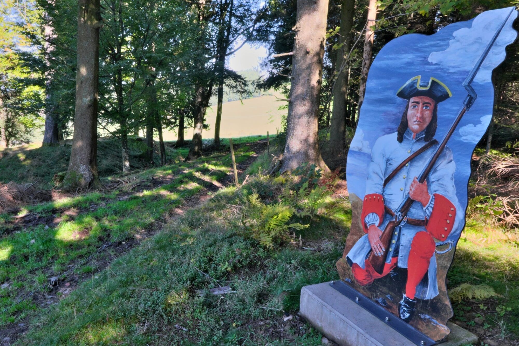
In front of the Haldenbuckschanze, a French foot soldier with striking red stockings and sleeves and a fixed bayonet welcomes the visitor. From French-occupied Freiburg, marauding troops repeatedly marched up to the Black Forest villages.
The Haldenbuck redoubt was used to monitor the Höllental, Nessellachen and Diezendobel ascents.
It is the westernmost facility on the Türkenlous Trail. Follow the signs back via Hohwarthof, then right through Hinterdorf to Schuhhof, then left via the Maria im Moos chapel to Sonnenhöhe.
The Café Sonnenhöhe Breitnau is worth a stop, even if it is only a few minutes to the church.
Da
Hiking boots and snacks
none
Line 7216
Great views in all 4 directions. Experience history from the 17th + 18th centuries.
Refreshments and drinks in the Ringelschanze. The circular route is signposted with the Türkenlouis logo.
Spletne kamere s turneje
Pridobite vpogled
Vedno v živo na mestu z več kot 9.500 spletnimi kamerami. bergfex Kot uporabnik Pro si lahko zdaj ogledate ustrezne spletne kamere za številne izlete v aplikaciji izleti iz. Tako si lahko neposredno ogledate trenutne razmere.
Priljubljeni izleti v okolici
-
4.7
Black Forest Highlands heritage trail - mills and saws in the gorge
srednjaPohodništvo 7.42 km -
3.8
Seerundweg Titisee
svetlobaPohodništvo 5.84 km -
4.5
Through the mystical Bannwald forest to the Zweribach Waterfall
srednjaPohodništvo 12.2 km -
4.1
Höhenklimaweg Titisee-Rundweg
srednjaPohodništvo 7.44 km -
3.9
From Titisee to the Hochfirst with its stunning views
srednjaPohodništvo 10.6 km -
3.8
Premium Hiking Trail- Säbelthomaweg
srednjaTematska pot 11.3 km -
4.2
Ravennaschlucht
Pohodništvo 6.90 km -
4.8
Sonnenaufgang und Feldbergsteig
srednjaPohodništvo 11.6 km -
5.0
Premium Hiking Trail - Menzenschwander Geißenpfad
srednjaTematska pot 9.78 km -
5.0
Rund um den Kandelgipfel mit tollen Ausblicken
srednjaPohodništvo 7.46 km
Pohodništvo in sledenje


Ne zamudite ponudb in navdiha za naslednje počitnice
Vaš e-poštni naslov je bil dodan na poštni seznam.





