


Baiersbronn E-Bike Tour 9 Baiersbronn-Glasmännlehütte-Kniebis-Zuflucht-Obertal-Mitteltal
Stopnja težavnosti: 2
Fotografije naših uporabnikov
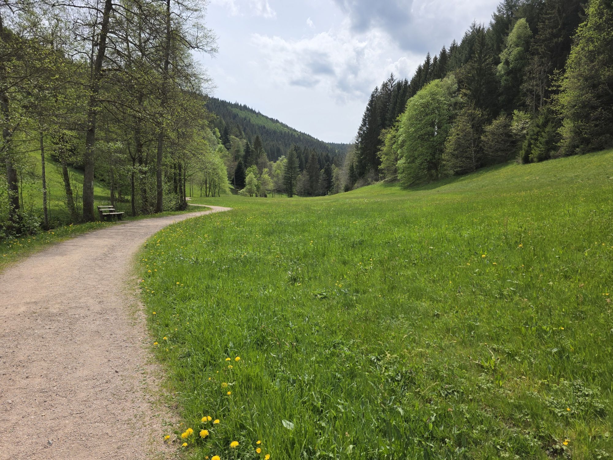
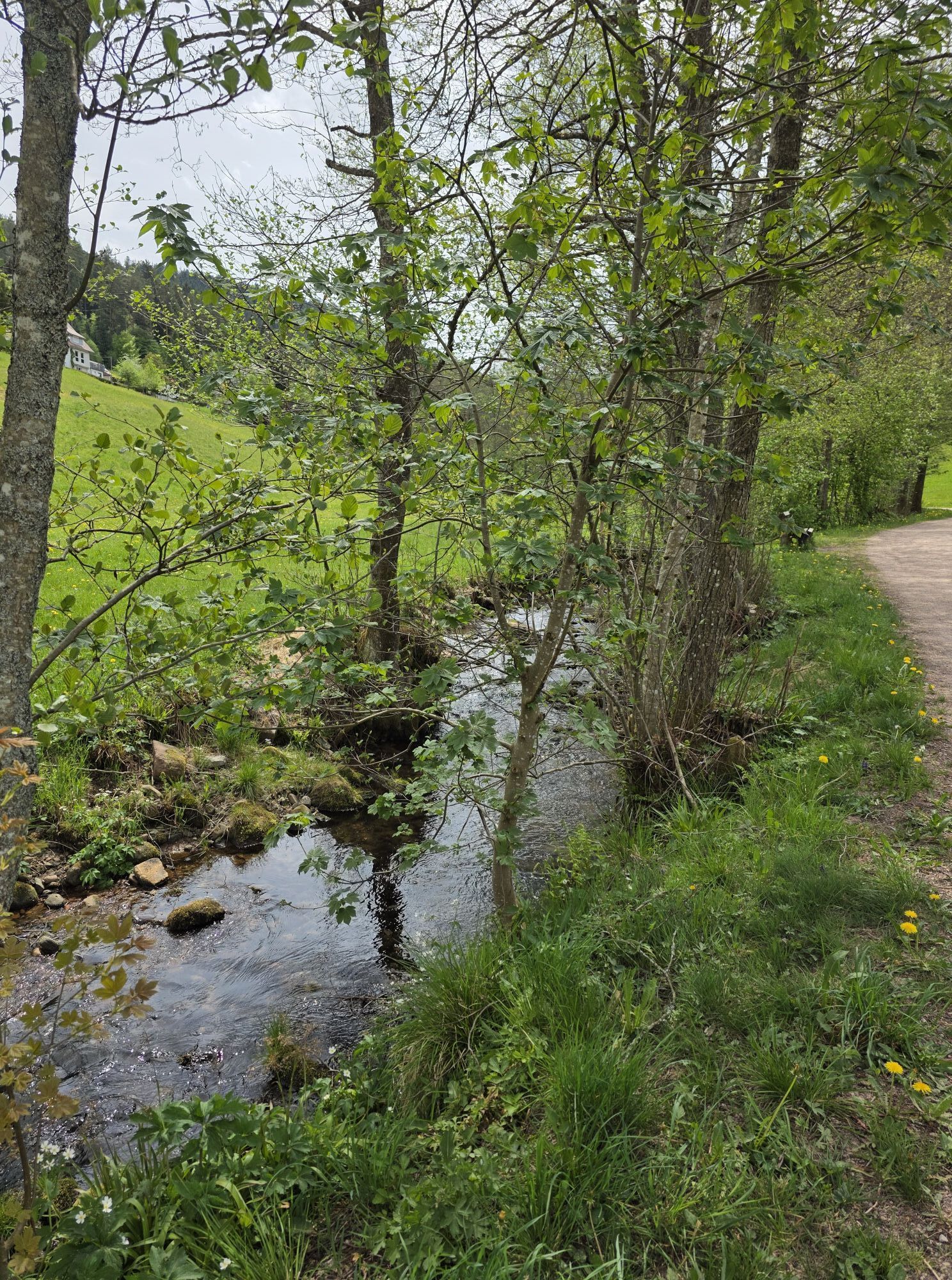


The tour starts at Baiersbronn Tourism. Initially, the tour leads slightly uphill into the Sankenbach Valley on the signposted bike path via the Wilgehege and then uphill for a longer time to the Glasmännlehütte with magnificent views over Baiersbronn. Through the forest on the signposted bike path, the tour passes the Wasenhütte up to the Kniebis at 920m altitude. Please note the Bike Crossing X-Ing signage here, as some bike paths intersect. Now the route continues relatively flat to the outskirts of Kniebis. We follow the signposted bike path to Cafe Günter in the center of Kniebis. There the tour turns right onto the Buchschollenstraße, ascending to the edge of the forest. Then it continues relatively flat on the paved road, past the ski stadium, until shortly before the federal road. A detour to the Kniebishütte, 200m away, is recommended. The route continues on the signposted bike path to Alexanderschanz, and there we follow the federal road for a few meters before the tour turns right onto the signposted bike path directly next to the B 500 to Zuflucht. On the state road, it goes back to the B 500. This is crossed to the left, and 100m later right on the signposted bike path, descending steeply following to Obertal. At the Lärchenhütte, the route turns right, past the tennis courts and above the Obertal swimming pool until we reach the "Tour de Murg" bike path. This is then followed through Mitteltal back to Baiersbronn.
Da
2
Spletne kamere s turneje
-
Schliffkopf - Hotel Schliffkopf
-
Wanderhütte Sattelei
-
Schliffkopfhotel
-
Buchkopfturm
-
Kniebis - Waldblick Hotel
-
Obertal-Buhlbach
-
Kniebis-Skistadion / Nachtloipe
-
Kniebis-Skistadion
-
Kniebis-Skistadion / Nachtloipe
-
Kniebis-Skistadion / Nachtloipe
-
Freudenstadt - Unteren Marktplatz
-
Freudenstadt - Obere Marktplatz
Priljubljeni izleti v okolici
-
4.7
Kniebiser Heimatpfad - Wandern mit Genuss
svetlobaPohodništvo 9.07 km -
4.0
Sankenbachwasserfälle und Glasmännlehütte am Stöckerkopf
srednjaPohodništvo 12.8 km -
5.0
Ottenhöfen - Eichkopf - Karlsruher Grat
srednjaPohodništvo 13.7 km -
5.0
Naturgewalten-Tour
Pohodništvo 15.6 km -
5.0
Bannwald-Tour
Pohodništvo 13.3 km -
5.0
Kniebis-Sankenbachwasserfälle-Sankenbachsee
srednjaPohodništvo 7.98 km -
4.4
Bad Rippoldsau - Cafe & Restaurant Zum Schlüssel - Klösterle - Burgbachwasserfall
srednjaPohodništvo 11.2 km -
4.7
Bad Peterstal-Griesbach - Himmelssteig für "Höhenverliebte"
težkoPohodništvo 10.3 km -
4.8
Ottenhöfen - Mühlenweg
srednjaPohodništvo 13.4 km -
4.0
Eiszeit-Tour
Pohodništvo 11.7 km

Pohodništvo in sledenje


Ne zamudite ponudb in navdiha za naslednje počitnice
Vaš e-poštni naslov je bil dodan na poštni seznam.