







German Timber-Frame Road: Kirchheim unter Teck – Blaubeuren
Stopnja težavnosti: 3
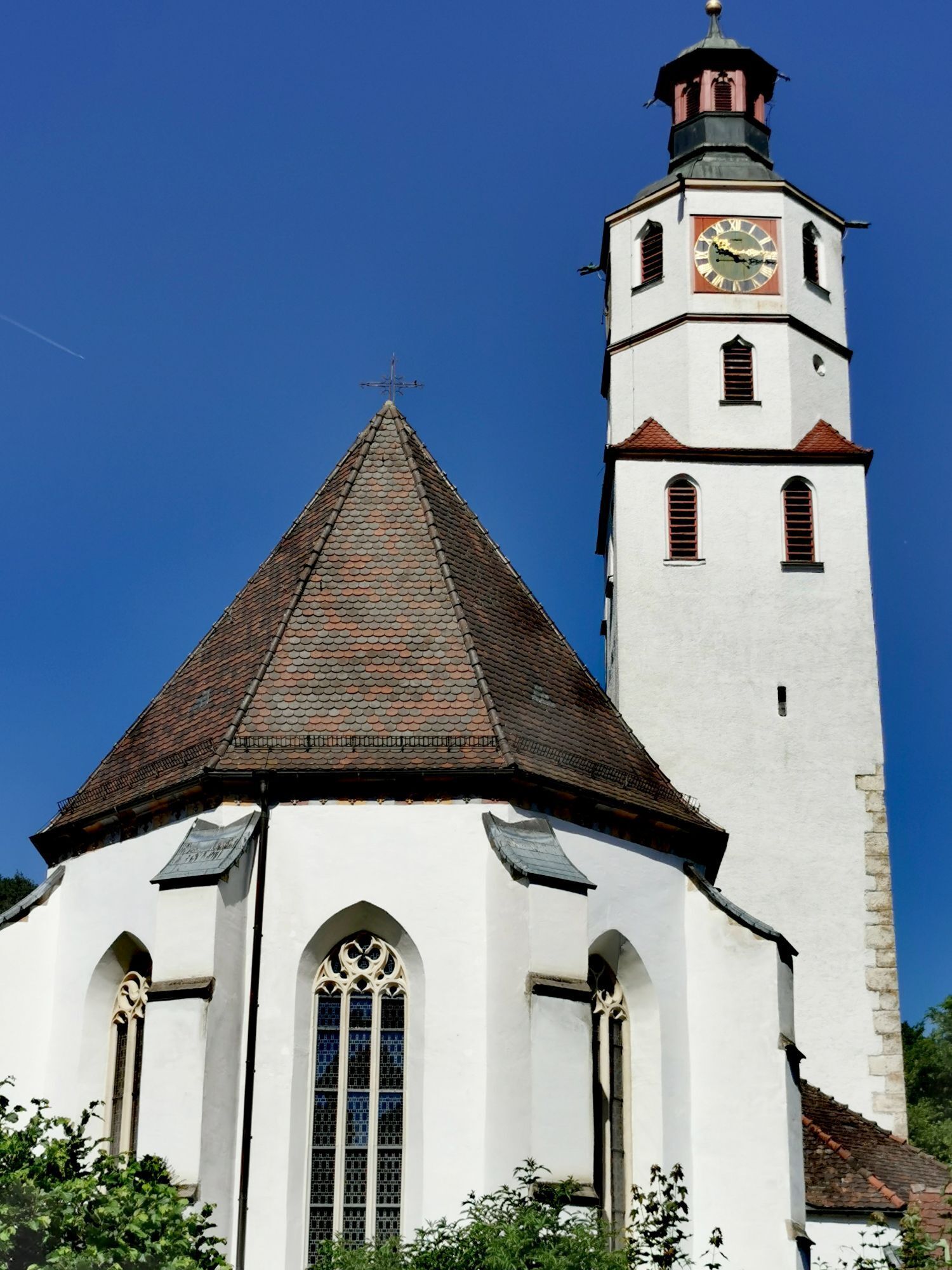
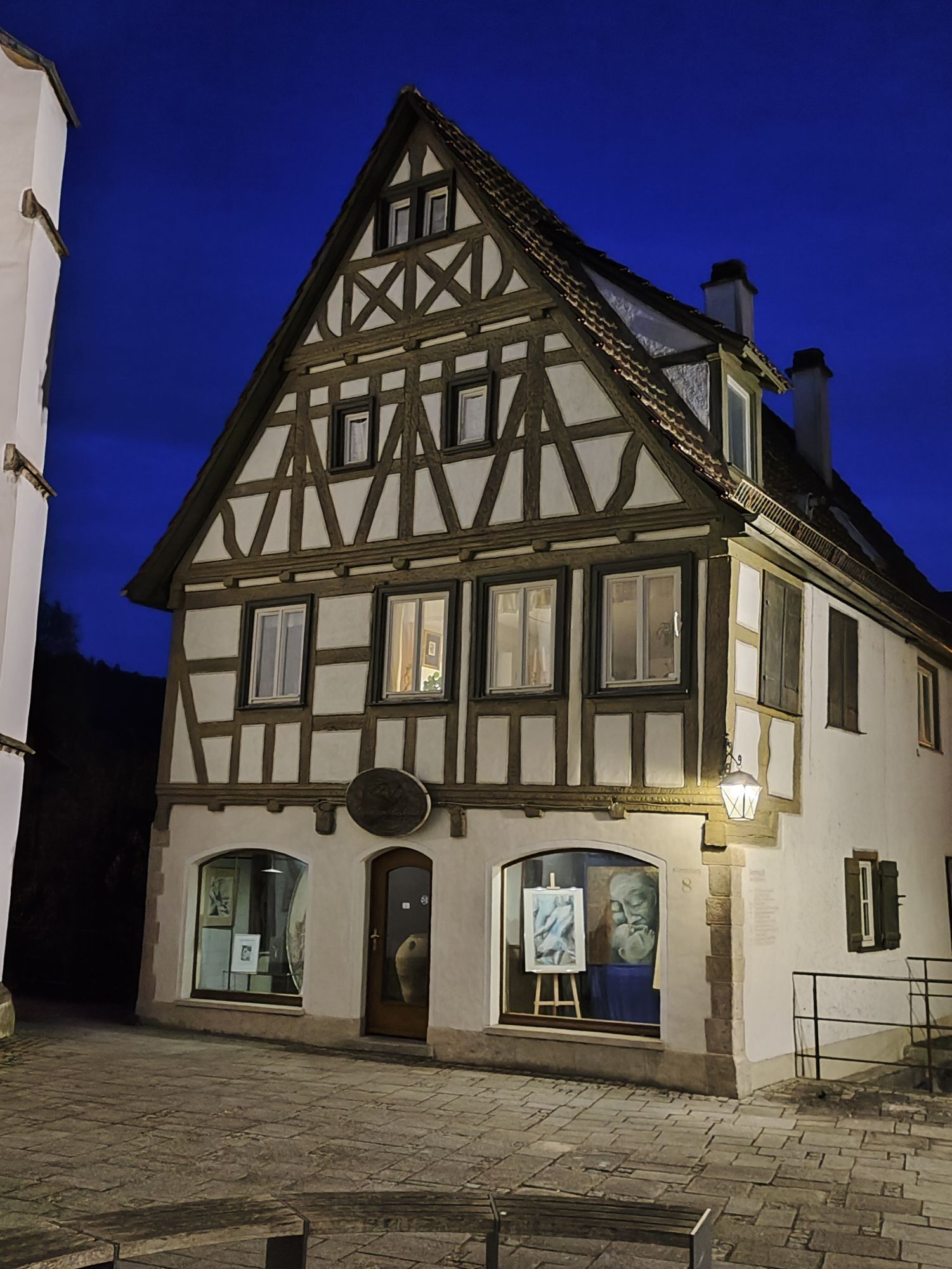
At the Albtrauf between the castles of Teck and Hohenneuffen, living history is evident wherever you look. Yet historical gems in a splendid cultural landscape captivate us along the entire route from...
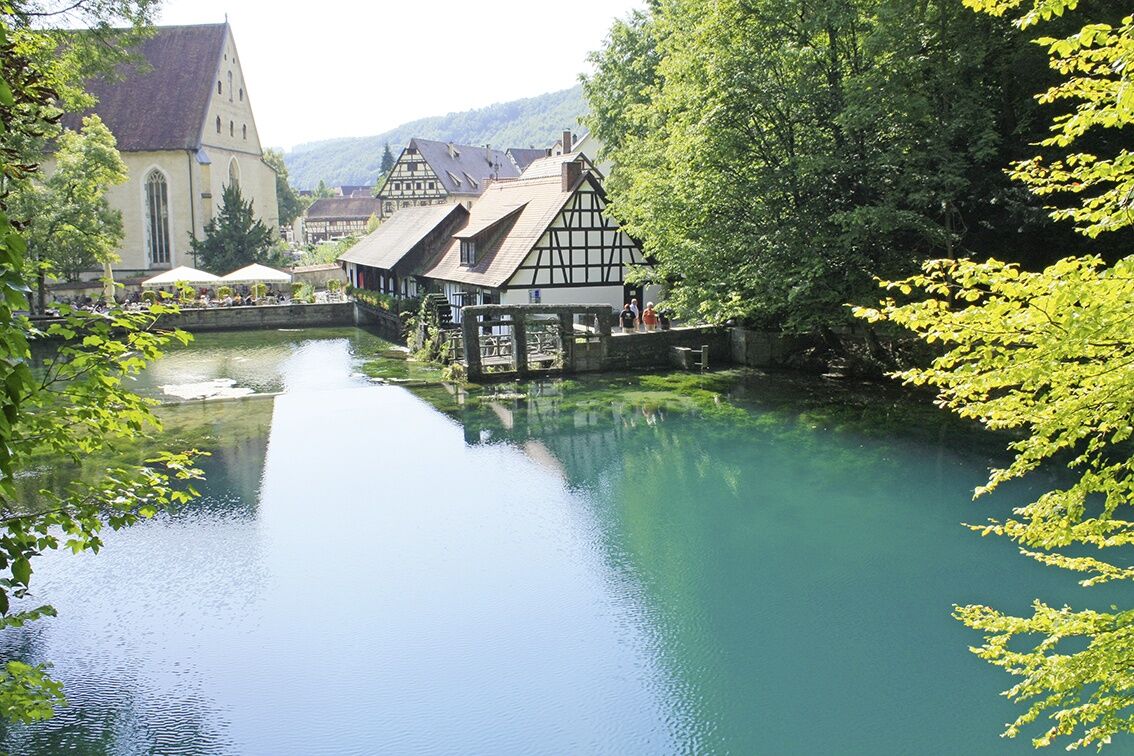
At the Albtrauf between the castles of Teck and Hohenneuffen, living history is evident wherever you look. Yet historical gems in a splendid cultural landscape captivate us along the entire route from Kirchheim unter Teck to Blaubeuren. A detour to the small town of Weilheim an der Teck with the Peterskirche is recommended before heading from the Alb foreland to the high plateau. Before us opens the unique landscape of the Swabian Jura. Next, we visit the best-known show caves of the Alb high plateau. The Schertel Cave near Westerstetten with its two tunnels features magnificent stalactites and sinter formations. Following it are the Laichingen Tiefen Cave, the deepest and only developed shaft cave in Germany, and the Sontheim Cave with stalactite tunnels and halls. From then on, it goes steadily downhill through the Tiefental valley to the Blautopf town of Blaubeuren, which can present the latest discoveries in the Blauhöhlen cave system. Like the karst sinkholes of the Alb high plateau, this stage ends at the legendary Blautopf.
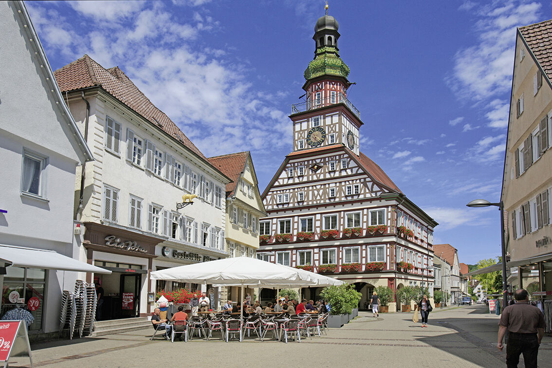
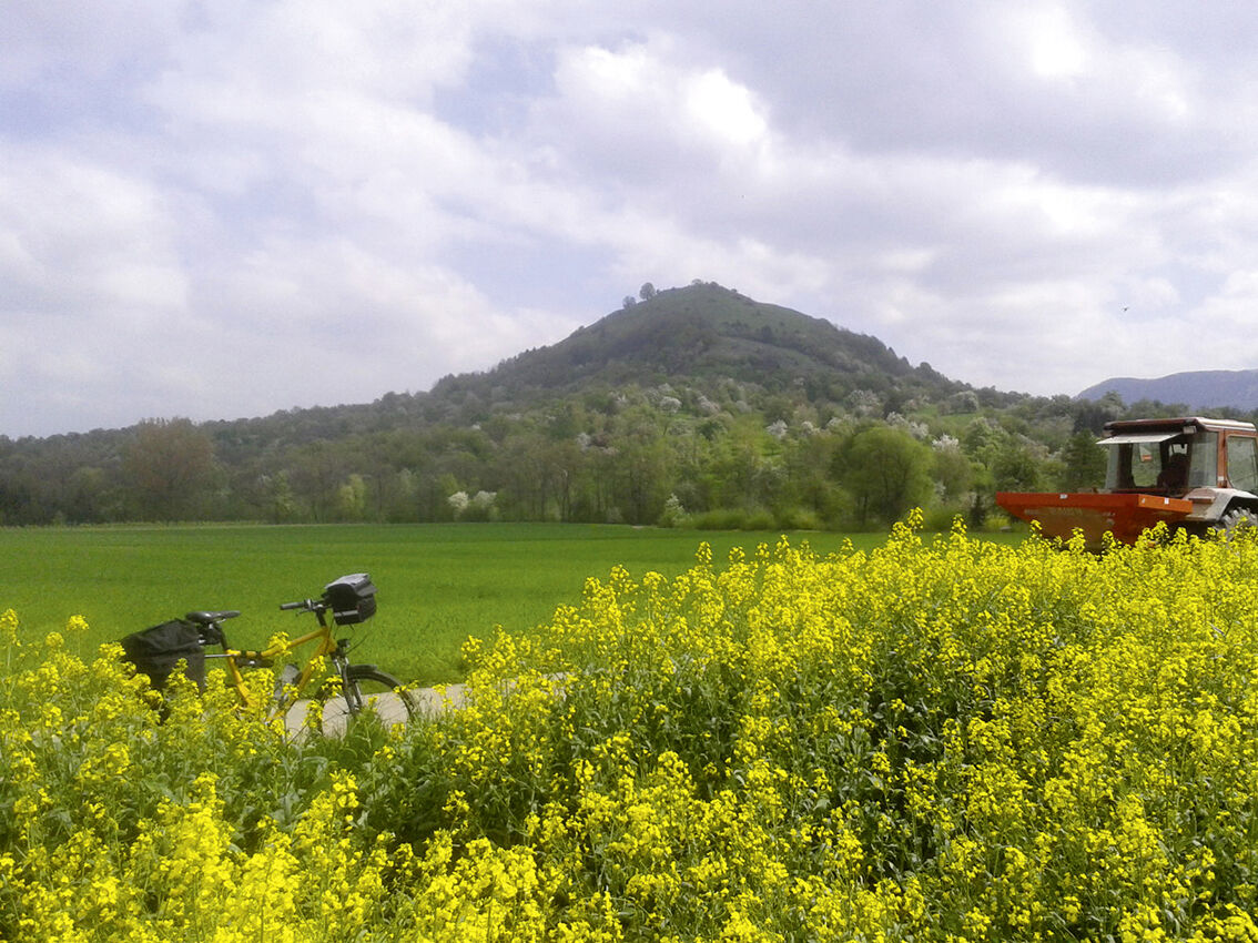
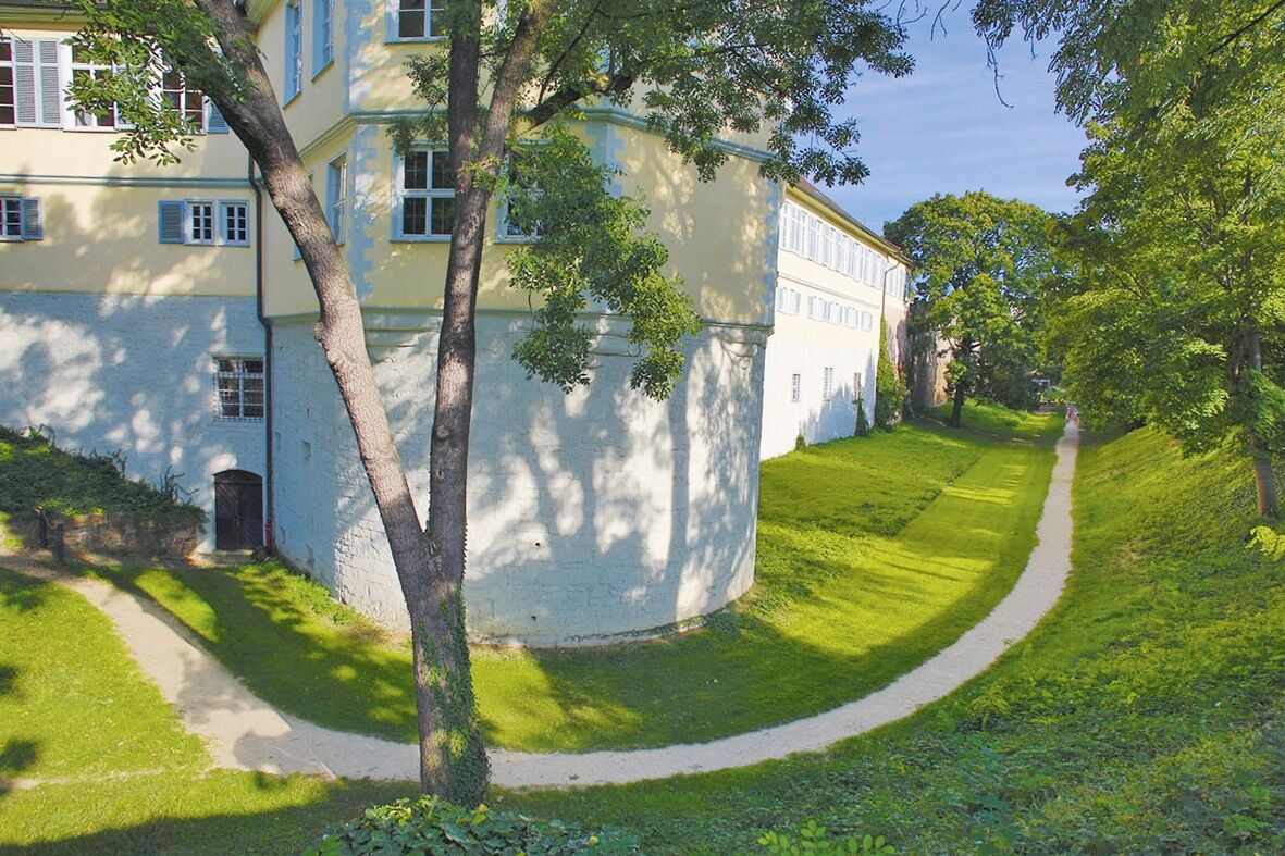
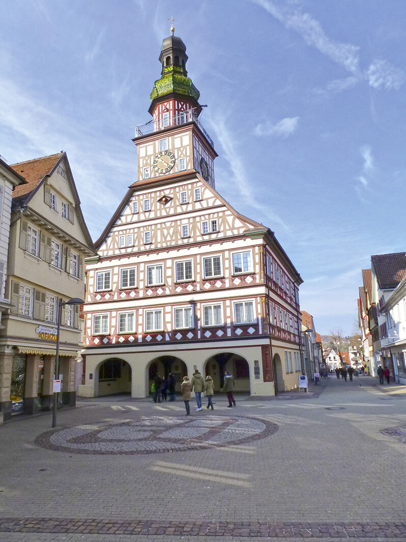
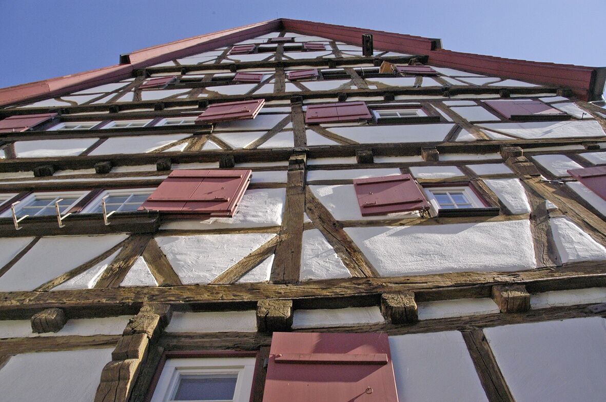
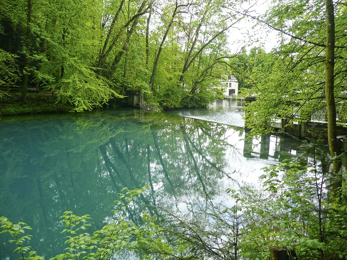
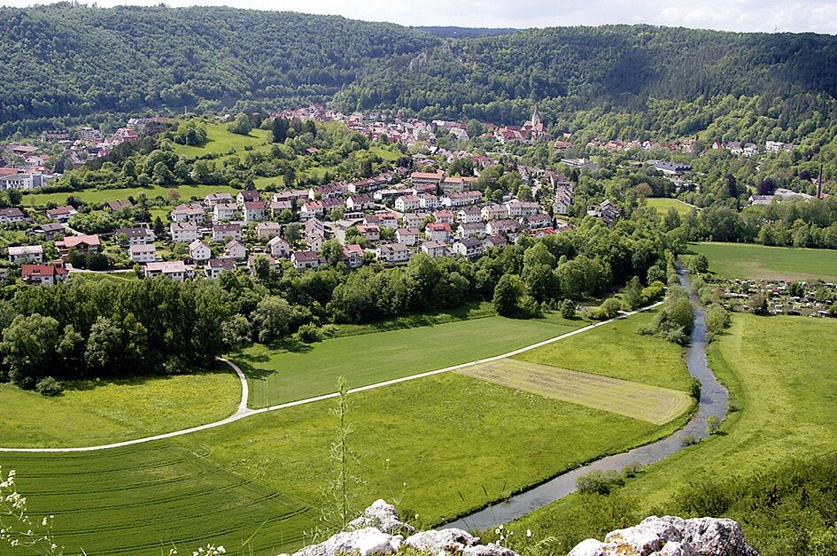
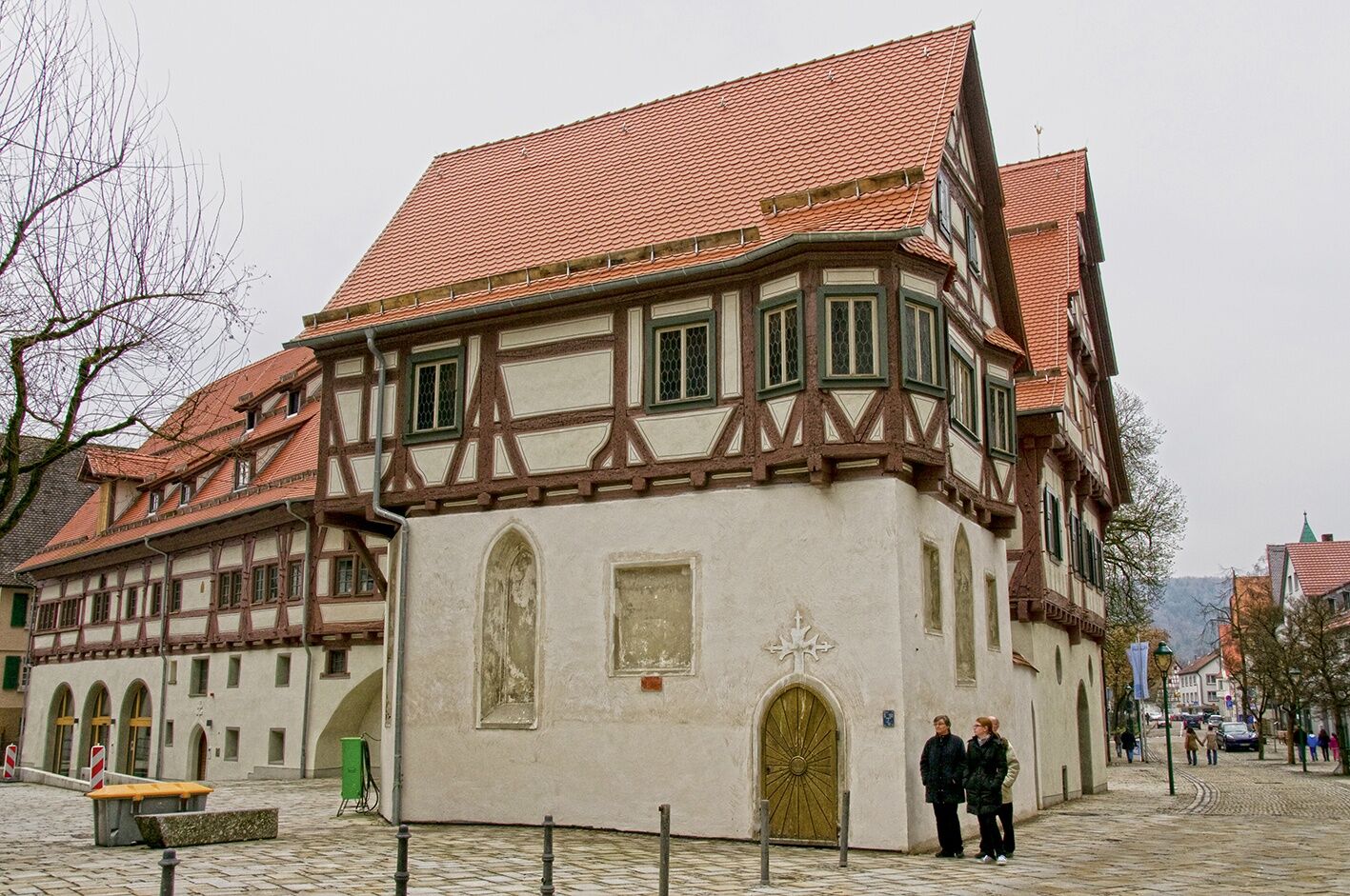
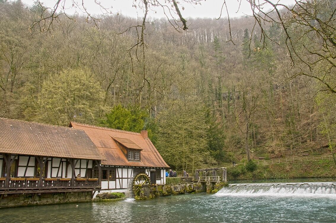

We start in Kirchheim unter Teck and ride with occasional views of the Limburg amid the beautiful landscape of the Alb foreland to Nabern, a tranquil place with a village character. In the middle of orchards with many cherry trees lies Neidlingen with its lovingly restored timber-framed houses. Those who wish can take a detour to the Neidlingen waterfall. The excursion to the Reußenstein castle ruins is more suitable on foot or with a mountain bike.
After leaving Neidlingen behind, it goes steeply uphill towards Donnstetten. Once at the top, the effort is rewarded; here you'll find the "Bahnhöfle" picnic spot with a magnificent view of the surroundings. Then we enjoy a relaxed, quiet ride on the high plateau. Shortly before reaching Donnstetten, we keep left to take the southern route of the Timber-Frame Road towards Lake Constance.
Via Westerheim, we then head to Laichingen. A rest at the large marketplace is recommended there. Also worth seeing are the ensemble of the church castle, the weaver museum, and the Laichingen Tiefen Cave. Next, we continue to Heroldstatt-Sontheim. The Sontheim Cave is the oldest show cave of the Swabian Jura. The LED lighting impressively highlights its treasures.
We then enjoy the ride through the Tiefental valley with a gentle descent and through almost fairy-tale-like forest. Approaching from the south, we finally reach the forerunner of Blaubeuren, the district of Weiler. Timber-framed houses in Alemannic style characterize the place. A natural peculiarity is shown in the rock formation called "the kissing sow," which brings a smile to everyone. A bit further up along the Aach river, the district finally merges into Blaubeuren.
Da
Bike helmet, repair kit, bike gloves, sun protection, provisions, and drinking water
A8 Stuttgart-Munich, exit 57 Kirchheim unter Teck-Ost, continue on B297
By train/S-Bahn (line S1) to Kirchheim unter Teck
At public parking spaces or in public parking garages in Kirchheim unter Teck
3
This stage demands the most elevation gain from us. All the more, we then enjoy the ride across the high plateau of the Swabian Jura and through the picturesque Tiefental valley.
Pridobite vpogled Vedno v živo na mestu z več kot 9.500 spletnimi kamerami. bergfex Kot uporabnik Pro si lahko zdaj ogledate ustrezne spletne kamere za številne izlete v aplikaciji izleti iz. Tako si lahko neposredno ogledate trenutne razmere. Priljubljeni izleti v okolici
- 4.8
Löwenpfad "Filsursprung-Runde" - pure nature around the Reußenstein
srednjaPohodništvo 14.1 km - 4.8
Hohenwittlingensteig Bad Urach
srednjaPohodništvo 6.48 km - 5.0
Lion trail "Berta-Hörnle-Tour" - castle stories in a dreamlike setting
težkoPohodništvo 14.7 km - 4.0
Seeburgsteig Bad Urach
srednjaPohodništvo 8.19 km - 5.0
Boßler circuit
srednjaPohodništvo 8.59 km - 4.5
16 - Through the Trailfinger Gorge
srednjaPohodništvo 6.16 km - 3.8
Lion trail "Ave-Weg" - A touch of pilgrimage on the Albtrauf
srednjaPohodništvo 8.65 km - 1.0
Nordalbrunde
srednjaPohodništvo 4.76 km - 5.0
Lenningen: Weiße Lauter, Wasserfels, Guttenberger-,Gußmannshöhle, Schopflocher Moor, Hohgreutfels, Ruine Wielandstein
srednjaPohodništvo 15.7 km Löwenpfad "Höhenrunde" - Hiltenburg and the Albtrauf in its purest form
srednjaPohodništvo 10.7 km
Pohodništvo in sledenje


Ne zamudite ponudb in navdiha za naslednje počitnice
Vaš e-poštni naslov je bil dodan na poštni seznam.





