Navigacija po spletni strani
Pridobite to turo v svoj mobilni telefon
Zemljevid
German Half-Timbered Road: Bietigheim-Bissingen – Schorndorf
težko
Kolesarjenje
62.24 km
Skenirajte kodo QR in začnite navigacijo v aplikaciji bergfex.
QR Code
Pohodništvo in sledenje
Prenos za iOS
Prenos za Android

German Half-Timbered Road: Bietigheim-Bissingen – Schorndorf

Razdalja
62.24 km
Trajanje
05:00 h
Ascent
480 hm
Morska gladina
182 - 455 m

Stopnja težavnosti: 3

Prenos skladbe
Zemljevid
German Half-Timbered Road: Bietigheim-Bissingen – Schorndorf
težko
Kolesarjenje
62.24 km

Fotografije naših uporabnikov

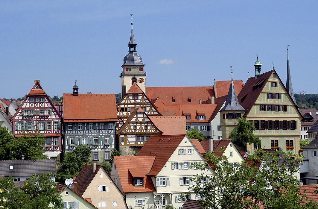
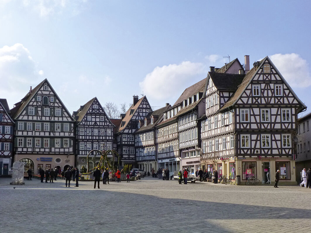
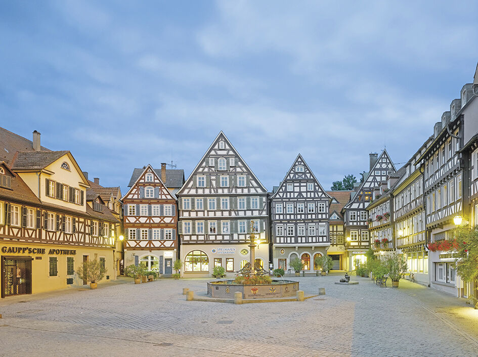
We start the stage in the beautiful half-timbered town of Bietigheim-Bissingen, characterized by charming alleys. Shortly after leaving the town, the bike path leads through the forest. After passing through...

Opis

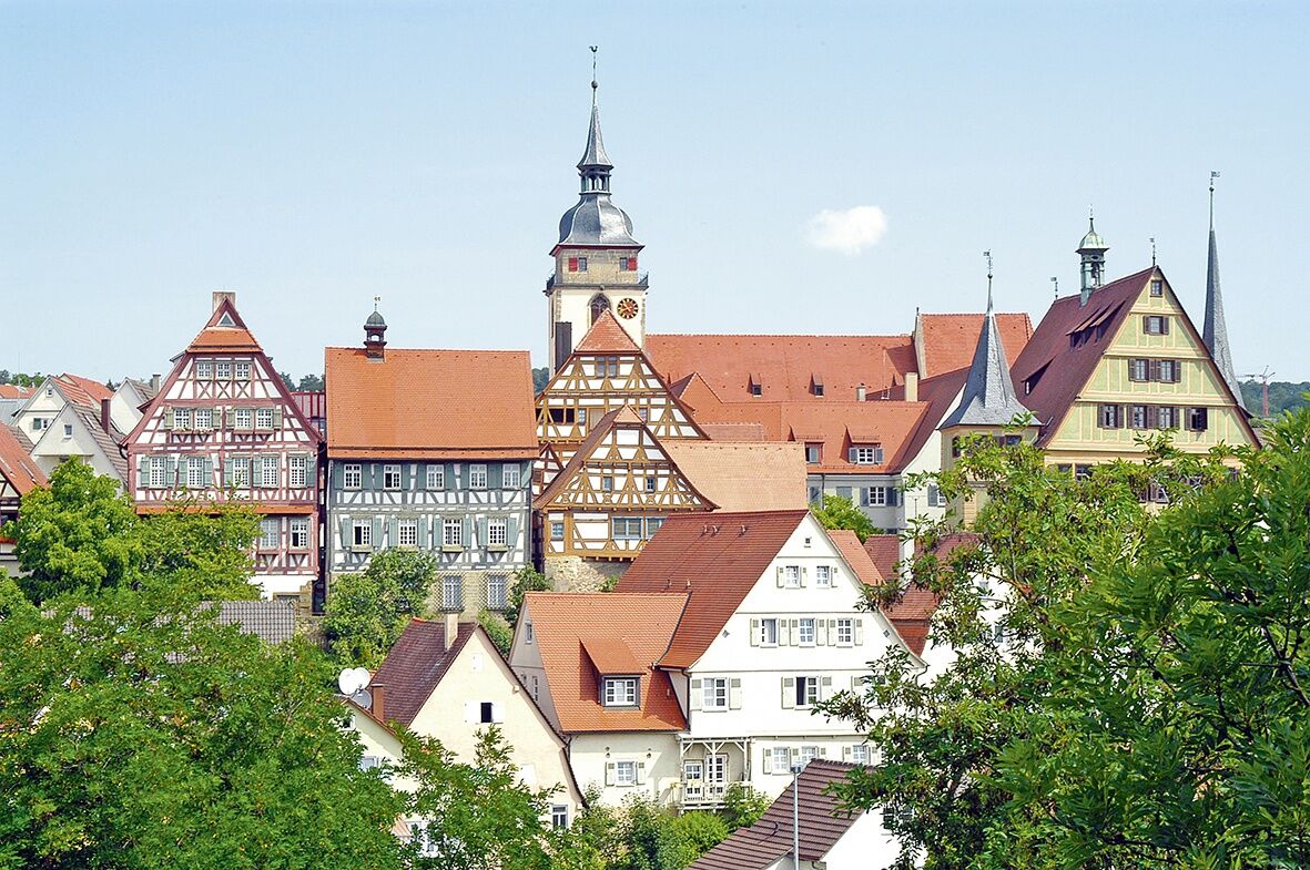
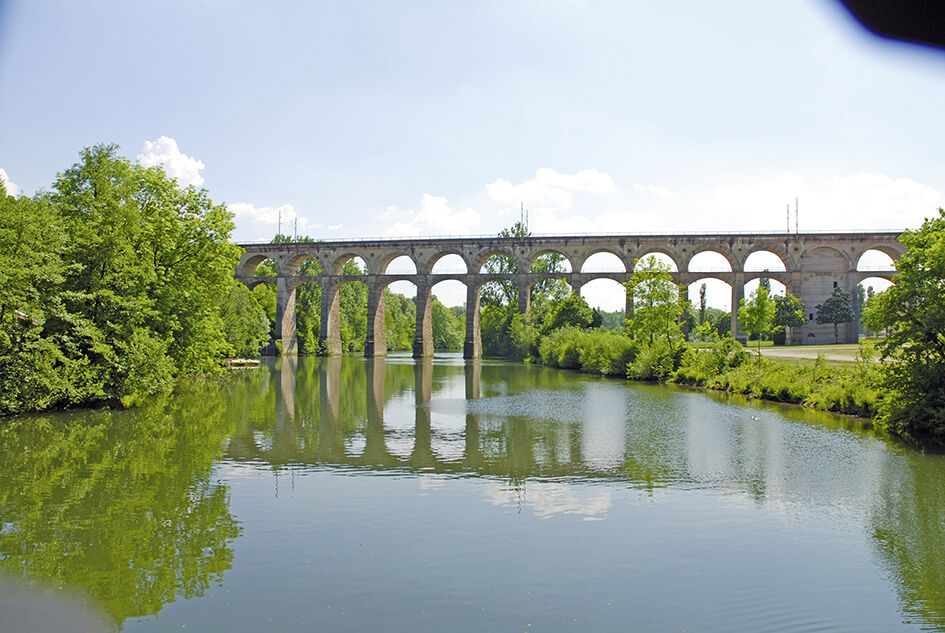
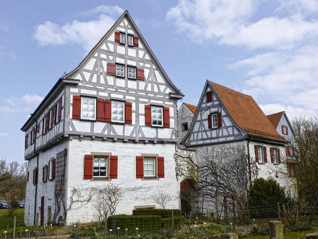
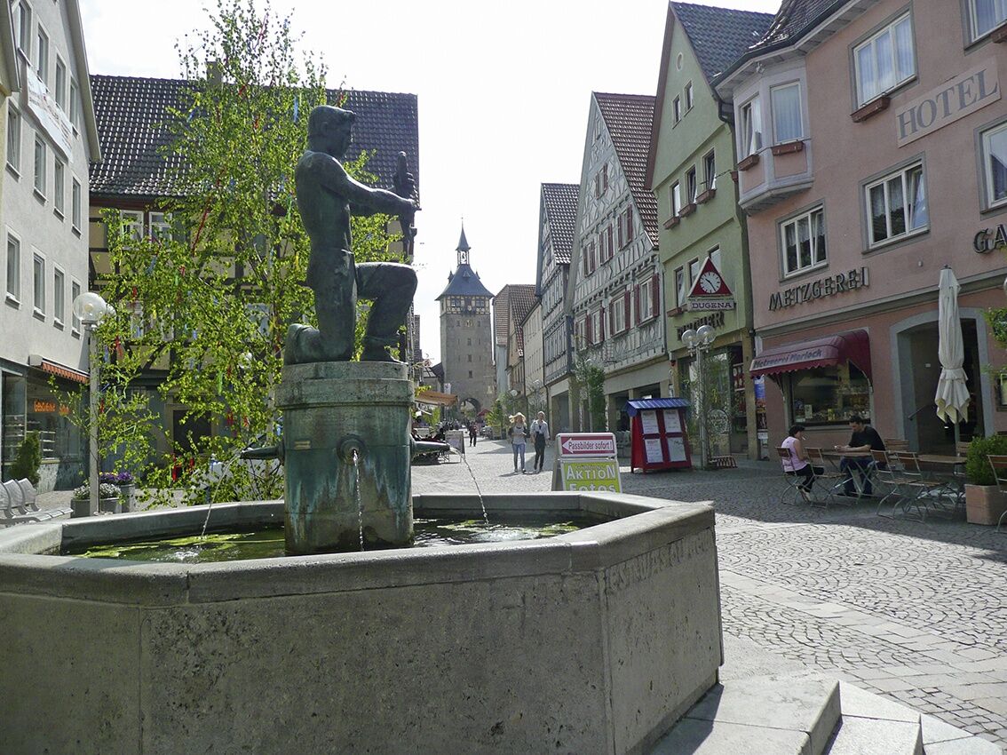
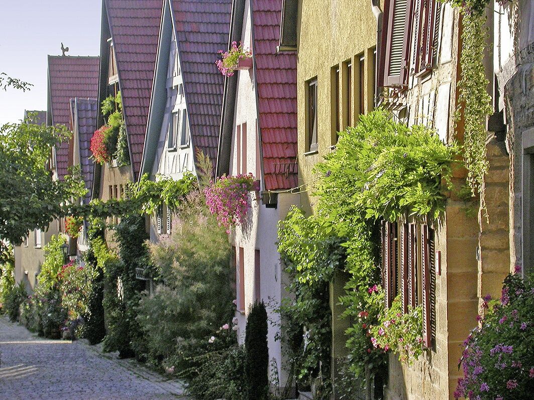
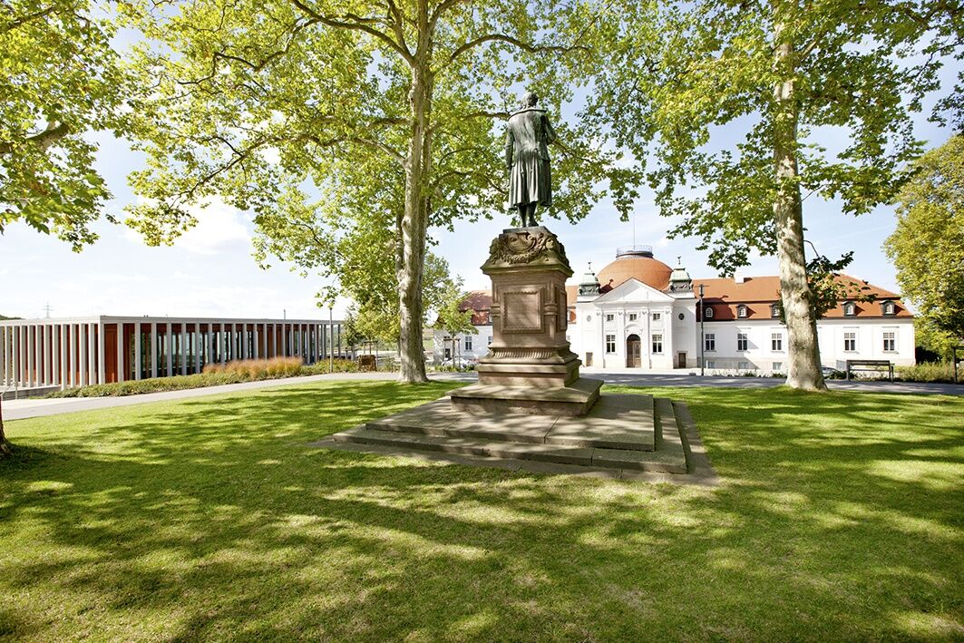
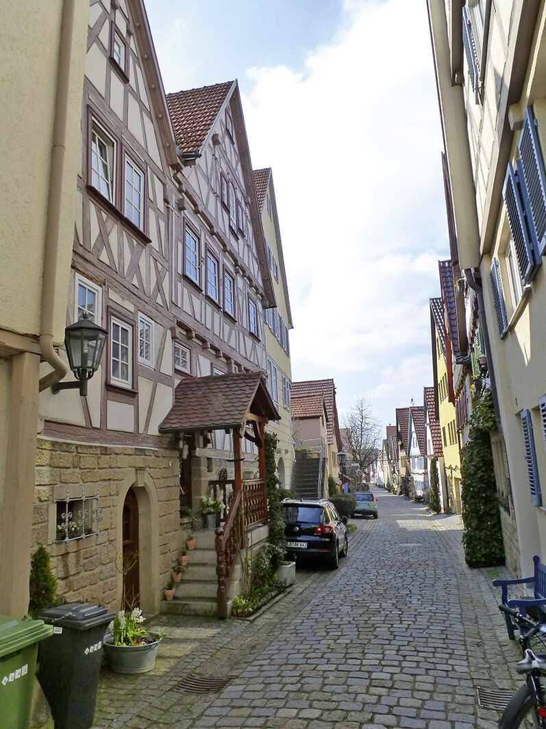
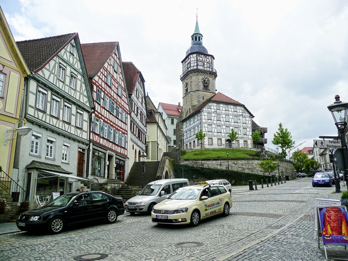
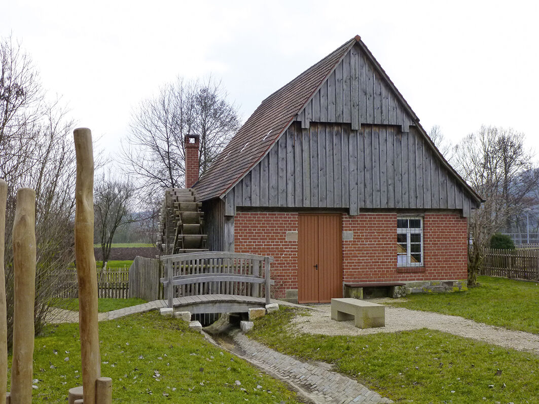
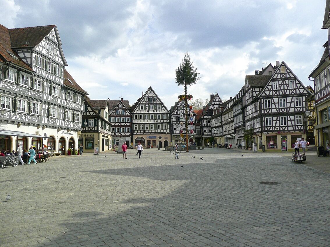
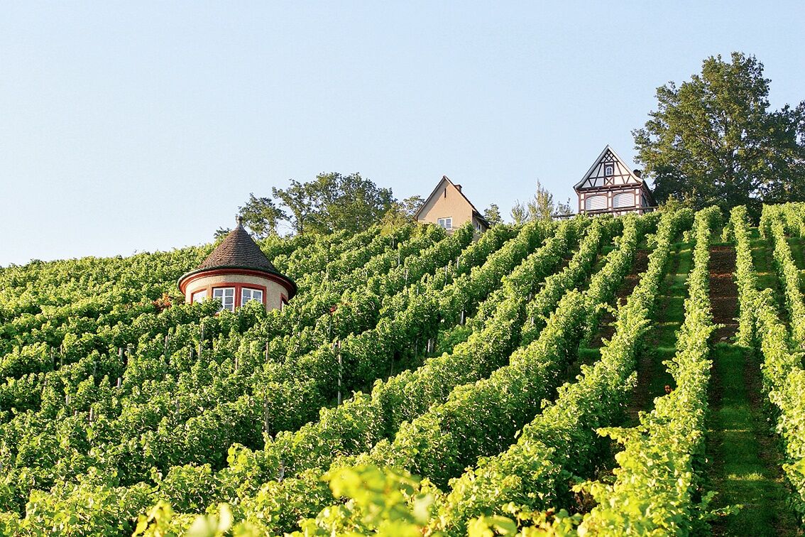
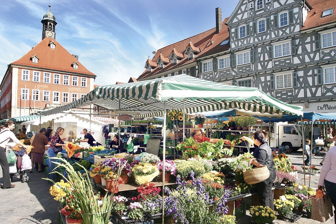
We start the stage in the beautiful half-timbered town of Bietigheim-Bissingen, characterized by charming alleys. Shortly after leaving the town, the bike path leads through the forest. After passing through Ingersheim, we ride for a while through the impressive Alt-Neckar nature reserve. In the Freiberg district of Geisingen, a visit to Geisingen Castle with its attached city museum “Im Schlössle” is recommended. Shortly after Freiberg, we cross the Neckar and enjoy the route between vineyards and the river. Upon arriving in Marbach am Neckar, numerous half-timbered houses, towers, and narrow alleys await us. Friedrich Schiller was born here in 1759. Via Steinheim an der Murr and Burgstetten-Erbstetten, we reach Backnang via a particularly scenic route. The town is known as the “Murr metropolis” and invites you to stroll and rest. Another highlight of the route is the historic oil mill on the edge of Michelau. At the destination of the route, Schorndorf, the mustard manufactory, the 3-D photo museum, and the city museum can be visited.
Pot
Bietigheim-Bissingen
(211 m)
Mesto
1.1 km
Marbach am Neckar
(234 m)
Mesto
13.9 km
Freikirche Siebenten-Tags-Adventisten
(294 m)
Kraj čaščenja
28.6 km
Ev. Kirche Sankt Agatha
(272 m)
Kraj čaščenja
40.6 km
Unterweissach
(267 m)
Vas
40.7 km
Käsbühl
(425 m)
Vrh
44.8 km
Auferstehungskirche
(277 m)
Kraj čaščenja
52.1 km
Pot
Zemljevid
German Half-Timbered Road: Bietigheim-Bissingen – Schorndorf
težko
Kolesarjenje
62.24 km
Bietigheim
(192 m)
Soseska
0.0 km
Sand
(204 m)
Soseska
0.8 km
Bietigheim-Bissingen
(211 m)
Mesto
1.1 km
Martinskirche
(212 m)
Kraj čaščenja
4.0 km
Großingersheim
(214 m)
Vas
4.2 km
Geisingen
(199 m)
Soseska
7.0 km
Robinsonspielplatz
(194 m)
Igrišče
7.2 km
Freiberg am Neckar
(233 m)
Mesto
8.1 km
Beihingen
(199 m)
Soseska
8.6 km
Ludwigsburg
(295 m)
Mesto
8.6 km
Kapadokya
(195 m)
Restavracija
12.7 km
Benningen am Neckar
(204 m)
Vas
12.8 km
Marbach am Neckar
(234 m)
Mesto
13.9 km
Murr
(207 m)
Vas
16.8 km
Steinheim an der Murr
(202 m)
Mesto
18.1 km
Büchleswiesen
(201 m)
Koridor/teren
18.7 km
Steinbergwiesen
(200 m)
Koridor/teren
19.3 km
Floßwiesen
(201 m)
Koridor/teren
19.6 km
Rundsmühlhof
(213 m)
Poravnava
20.8 km
Kirchberg an der Murr
(279 m)
Vas
23.6 km
Lerchenberg
(215 m)
Koridor/teren
23.9 km
Burgstall an der Murr
(255 m)
Vas
27.1 km
Pizzeria Traube
(236 m)
Restavracija
27.2 km
Burgstall (Murr)
(242 m)
Železniška postaja
27.4 km
La Coccinella
(241 m)
Restavracija
27.4 km
Freikirche Siebenten-Tags-Adventisten
(294 m)
Kraj čaščenja
28.6 km
Erbstetten
(302 m)
Vas
29.8 km
Spitzwiesen
(233 m)
Koridor/teren
32.3 km
Taverna to Beles
(239 m)
Restavracija
32.9 km
Backnang
(271 m)
Mesto
35.5 km
Annonay-Anlage
(250 m)
Koridor/teren
35.9 km
Obere Tauswiesen
(258 m)
Koridor/teren
36.3 km
Sachsenweiler-Hof
(286 m)
Soseska
37.7 km
Sachsenweiler
(281 m)
Soseska
37.9 km
Sachsenweiler-Siedlung
(301 m)
Soseska
38.3 km
Brünkele
(275 m)
Koridor/teren
38.9 km
Bauernhau
(282 m)
Koridor/teren
39.2 km
Mühläcker
(267 m)
Koridor/teren
39.6 km
Wehrwiesen
(264 m)
Koridor/teren
40.1 km
Sandberg
(284 m)
Soseska
40.2 km
Presteneck
(266 m)
Soseska
40.3 km
Bergfeld-Steingärten
(285 m)
Soseska
40.3 km
Kirchberg
(277 m)
Soseska
40.5 km
Ev. Kirche Sankt Agatha
(272 m)
Kraj čaščenja
40.6 km
Unterweissach
(267 m)
Vas
40.7 km
Kugler-Areal
(268 m)
Koridor/teren
40.9 km
Eichhalde
(273 m)
Koridor/teren
41.2 km
Seewiesen
(268 m)
Koridor/teren
41.5 km
Viehhaus
(272 m)
Poravnava
41.6 km
Aichholzhof
(278 m)
Poravnava
41.6 km
Zur Fuchsklinge
(282 m)
Soseska
41.8 km
Stockäckersiedlung
(288 m)
Soseska
42.1 km
Cottenweiler
(276 m)
Vas
42.2 km
Restaurant Löwen
(290 m)
Restavracija
43.2 km
Heutensbach
(287 m)
Vas
43.4 km
Hohengehren
(309 m)
Soseska
43.6 km
Trieb
(352 m)
Koridor/teren
44.5 km
Käsbühl
(425 m)
Vrh
44.8 km
Käsbühl
(397 m)
Koridor/teren
45.3 km
Käsbühl
(421 m)
Koridor/teren
45.6 km
Spielplatz Glasofenbach
(292 m)
Igrišče
49.4 km
Rudersberg
(280 m)
Vas
50.1 km
Johanneskirche
(282 m)
Kraj čaščenja
50.3 km
Oberschlechtbach
(286 m)
Poravnava
51.2 km
Schlechtbach
(278 m)
Vas
52.0 km
Auferstehungskirche
(277 m)
Kraj čaščenja
52.1 km
Mittelschlechtbach
(275 m)
Soseska
52.3 km
Unterschlechtbach
(274 m)
Soseska
52.4 km
Asperglen
(280 m)
Vas
54.0 km
Kiosk am Mühlengarten
(265 m)
Restavracija
54.3 km
Weilerwiesen
(265 m)
Koridor/teren
54.3 km
Miedelsbach
(267 m)
Vas
56.3 km
Haubersbronn
(260 m)
Vas
58.5 km
Schorndorf
(260 m)
Mesto
62.0 km
Informacije o turneji

On this route from the Enz to the Rems valley, we cycle in the footsteps of poets and inventors.

Tehnologija
3 / 6
Stanje
5 / 6
Pokrajina
5 / 6
Izkušnje
5 / 6
Najboljši letni čas
Jan
Feb
Mar
Apr
Maj
Jun
Jul
Avg
Sep
Okt
Nov
Dec
Skupna turneja
Zemljevid
German Half-Timbered Road: Bietigheim-Bissingen – Schorndorf
težko
Kolesarjenje
62.24 km
Napaka
Zgodila se je napaka. Prosimo, poskusite znova.
Informacije o poti
Pot

The starting point of the stage is the old Enz bridge in the Bietigheim Bürgergarten. From here, it goes east through the Bietigheim forest to Ingersheim. Here, we again meet the Neckar, which we follow upstream to the Schiller town of Marbach. From Marbach, we cycle along the Murr river eastward. The bike path winds along the Murr through numerous idyllic small towns until reaching Backnang, the Murr metropolis, with its many half-timbered houses. Here, the view extends from the newly designed Bleichwiese to the castle hill, 30 meters higher, the original site of Backnang. Today, it is regarded as the cultural center of the town with diverse art exhibitions and a regionally well-known cultural program in the Backnang community center. It continues southeast through small valleys and beautiful, occasionally challenging hilly landscapes for cyclists between Heutensbach and Rudersberg until finally reaching the stage destination in Schorndorf along the Wieslauf.

Geološki poudarki

Da

Primerno za družine

Da

Oprema

Bike helmet, repair kit, cycling gloves, sunscreen, provisions and drinking water

Informacije o prihodu
Prihod

The town lies on the B27 and is accessible via the A81.

Javni prevoz

Bietigheim-Bissingen is accessible by both train and buses.

Parkirišče

In Bietigheim-Bissingen, there are numerous public parking spaces available for a fee.

Dodatne informacije in nasveti
Stopnja težavnosti

3

Nasveti

In Weissach, you immediately encounter a biotope nature trail: at 17 locations, the most important habitats of the region's plants and animals are presented. At the edge of the village, there is a Kneipp facility for tired feet.

Še ni pregledov
Napišite pregled

Mnenja pomagajo drugim uporabnikom pri izbiri naslednje pustolovščine. Ocenite samo izlet, ne pa tudi vremena ali prigrizka.

Izberite eno od zvezdic, da ocenite ogled
Slaba turneja
Šibka turneja
Povprečna turneja
Dobra tura
Odlična tura
bergfex logoPridobite vpogled Vedno v živo na mestu z več kot 9.500 spletnimi kamerami. bergfex Kot uporabnik Pro si lahko zdaj ogledate ustrezne spletne kamere za številne izlete v aplikaciji izleti iz. Tako si lahko neposredno ogledate trenutne razmere.
Pohodništvo in sledenje

Pohodništvo in sledenje

prenos za iOSprenos za Android
Pohodništvo in sledenje
Zaradi več kot 550.000 predlogov izletov, podrobnih zemljevidov in intuitivnega načrtovanja poti je aplikacija obvezna oprema za vse ljubitelje narave.
bergfex