







Small Remsbach round

Stopnja težavnosti: 1
The start and finish is at the Remsbach hiking car park, below the Tennenbronn holiday park. A small round without major inclines, ideal for beginners. The tour leads over Ramsteiner Höhe and the Purpen....
The start and finish is at the Remsbach hiking car park, below the Tennenbronn holiday park. A small round without major inclines, ideal for beginners. The tour leads over Ramsteiner Höhe and the Purpen. Along the route, there are always wonderful views over the valley and the Swabian Alb.

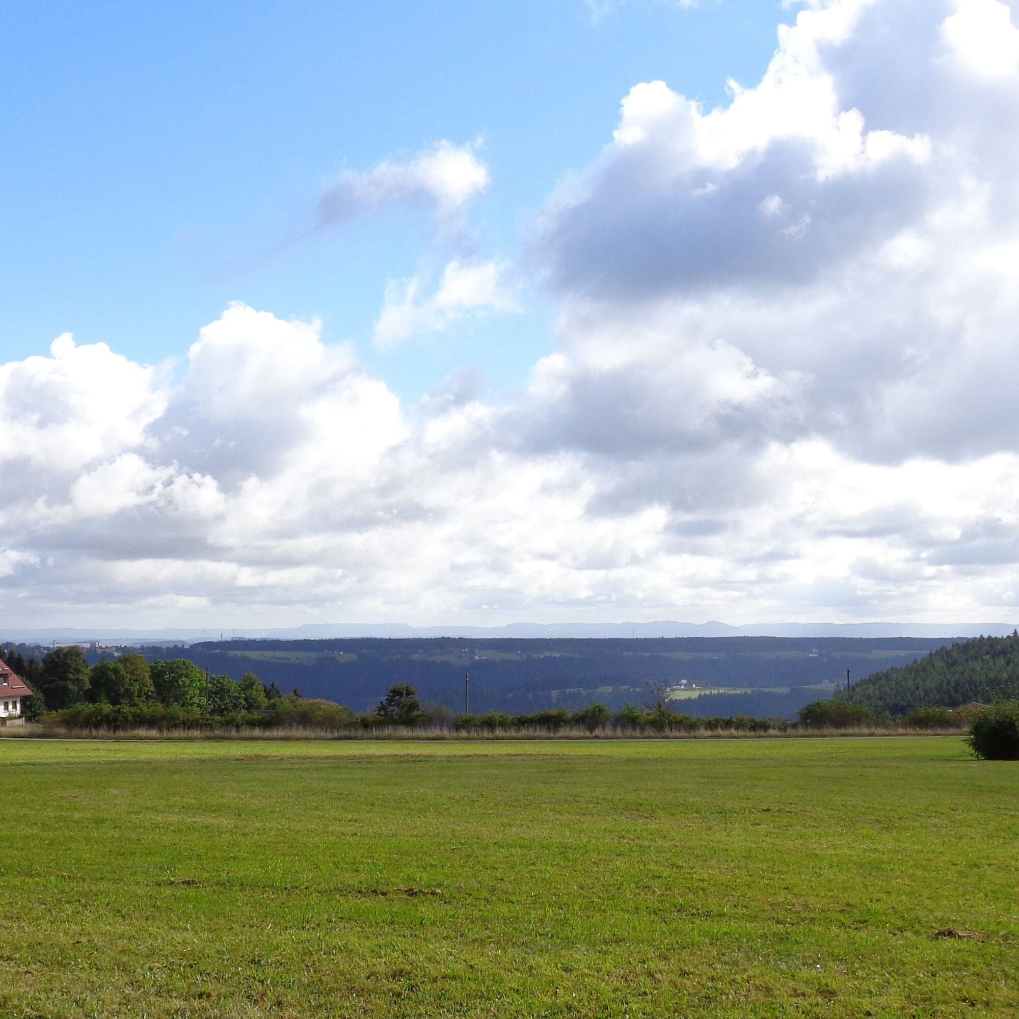

There, keep right and hike on a scenic path with a beautiful view over the Black Forest landscape to the Swabian Alb. After about 500 meters, cross a street and continue straight on the Purpen.
When you reach the street, a short detour straight ahead to the „Nature Park Viewpoint“ is offered, where an information board and a wonderful view towards the Swabian Alb await you. Back on the route, turn left after a short street section into the forest and follow the path straight until the forest clears again. Afterwards, hike along the forest edge. Finally, another short section along the street leads back to the Remsbach hiking car park.
No special equipment required.
From St. Georgen: Follow Schramberger Straße out of St. Georgen and continue. Drive straight ahead along L175 until you reach the district of Tennenbronn. Follow the main street. Pass the gas station and turn left about 500m further into Affentälestraße and follow it. The hiking car park is located shortly before the town exit on the left side at the bus stop at the entrance to the holiday park.
From Lauterbach: Follow Hornberger Straße and turn left at the Rapp carpentry workshop. Drive out of the town and follow the road. At the junction at Bremenloch turn left towards Tennenbronn. Follow the road over Mückenberg and later turn left at the junction to Reibehof. At the end of this street, turn left again. Follow this street to the junction towards Purpen. Turn right there and enter the district of Tennenbronn. The hiking car park is located right after the town sign on the right side at the bus stop at the entrance to the holiday park.
Remsbach hiking car park
1

Priljubljeni izleti v okolici
-
4.0
Triberger Wasserfälle naar Prizen
srednjaPohodništvo 11.5 km -
4.8
AugenBlick-Runde Lauterbach Güntersberg
svetlobaPohodništvo 10.2 km -
3.0
Lauterbach High Valley Circuit in the hiking paradise Alb - Black Forest
svetlobaPohodništvo 10.7 km -
4.0
Circular hike on the Black Forest Railway Experience Trail
srednjaPohodništvo 6.56 km -
Westweg - Westvariante
težkoPohodništvo v daljavo 288.8 km -
5.0
Schiltach: Schenkenburg - Kaibach - Circular route
srednjaPohodništvo 12.3 km -
5.0
Premiumweg Wolfacher Schlossblick
srednjaPohodništvo 7.12 km -
4.7
Triberger Eisenbahn erlebnis tour
srednjaPohodništvo 8.83 km -
3.7
Rundwanderung über die Staude
srednjaPohodništvo 9.19 km -
5.0
Felsen-Tour, Elzach-Oberprechtal
srednjaTematska pot 12.2 km

Pohodništvo in sledenje


Ne zamudite ponudb in navdiha za naslednje počitnice
Vaš e-poštni naslov je bil dodan na poštni seznam.





