


Baiersbronn T10 - Murgtal route
Stopnja težavnosti: S2


A route for lovers of hairpins and flowing trails through the special landscape of the Lower Murgtal. If you prefer it leisurely, split the route and ride it in two stages!

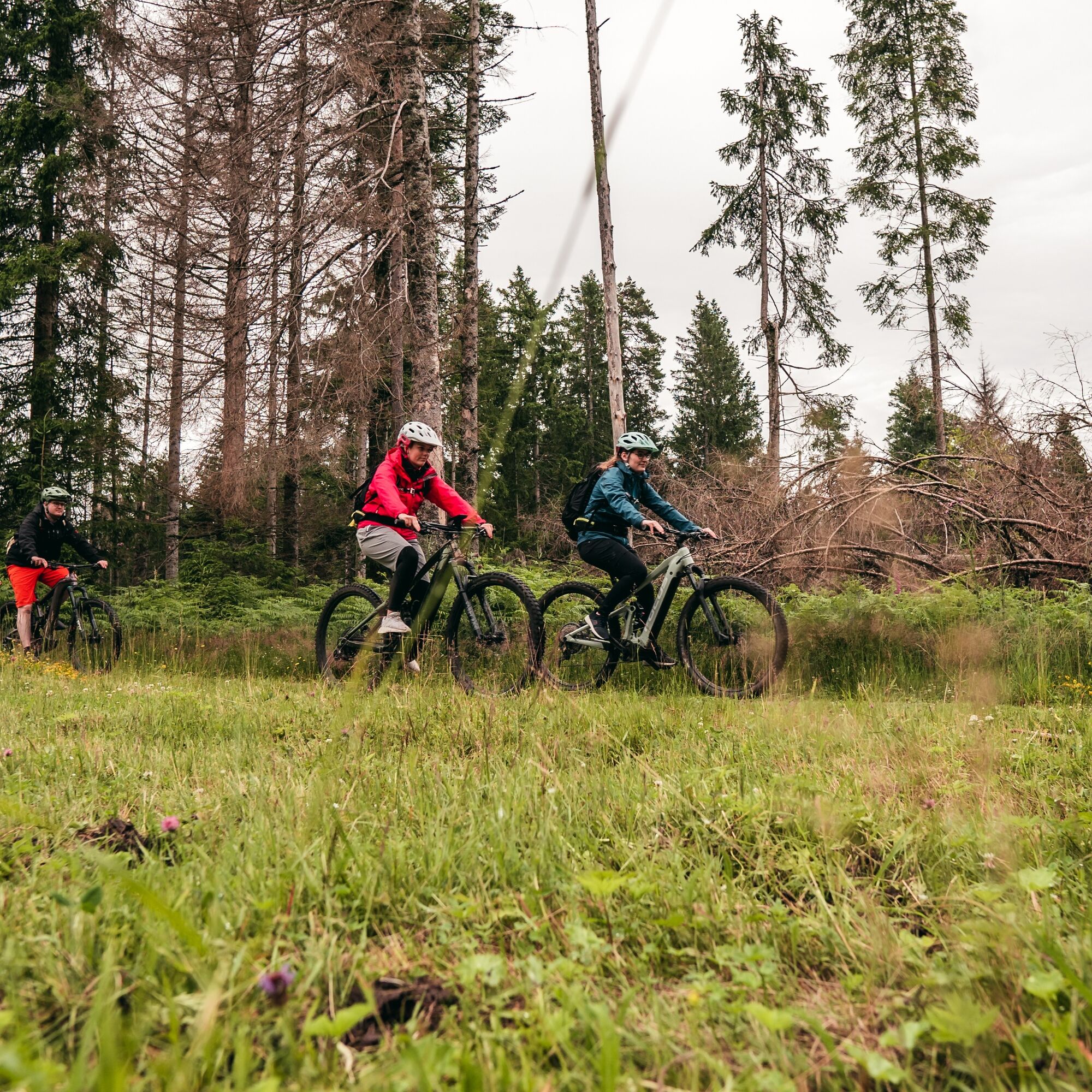
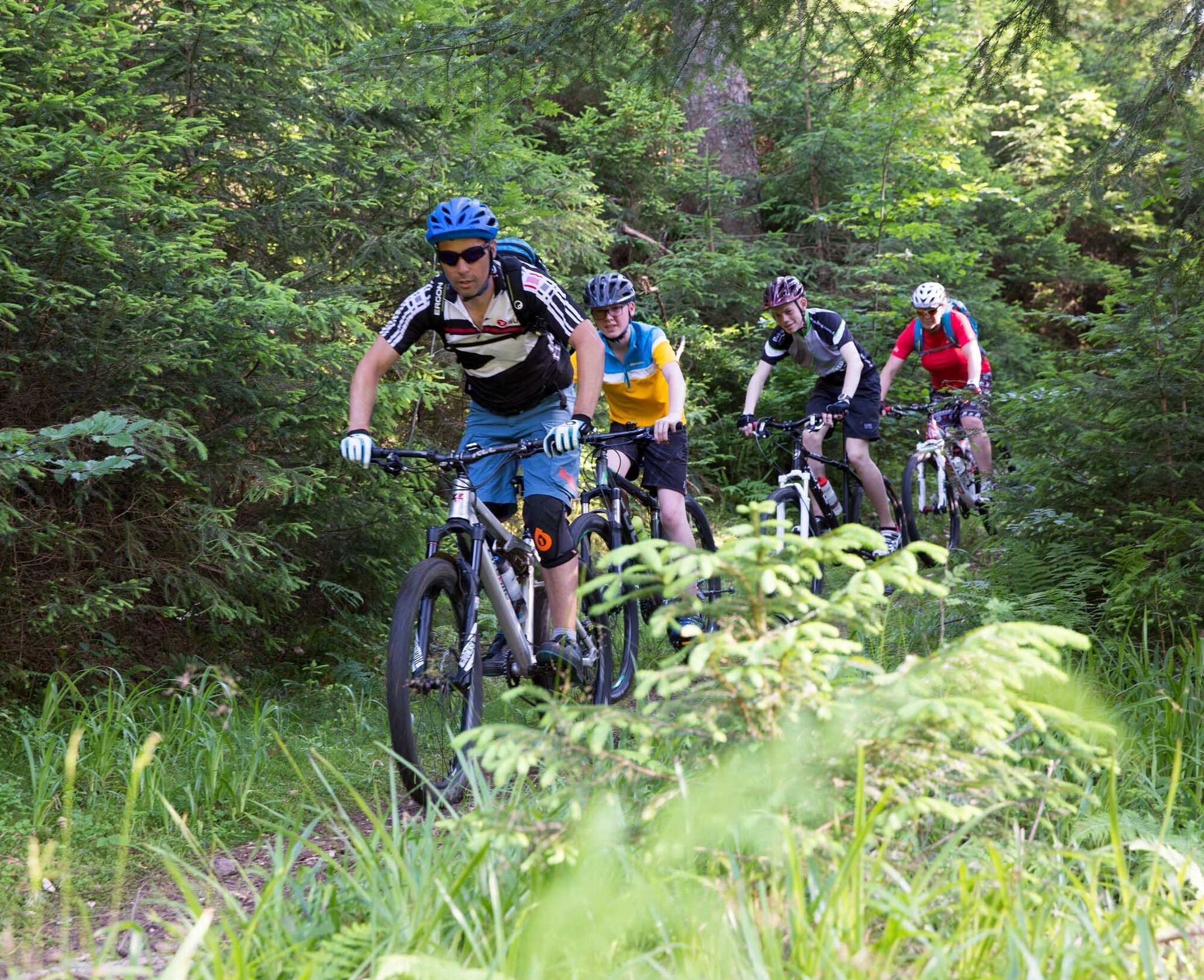
The Murgtal route is the king route in Baiersbronn for lovers of flowing trails. It is just as trail-like here, but significantly less rough than on the T8.
The start is at the Klosterreichenbach Swimming Pool parking lot. Right at the beginning, there is the option to shorten the route a bit. Especially interesting if you have already taken or still want to take the detour into the Reichenbachtal with its long trail descent as part of T2 or T6.
From Dornstetter Weg, it goes uphill on a trail which immediately gets the circulation going. Then it continues on gravel roads past the Genießerplatz. From the Stoffelshütte, a trail leads very steeply uphill. If you prefer it more leisurely, take the detour via Sonnenuhrsträßle. From Stoffelswald, we then glide straight down a very flowing trail into the Reichenbachtal. A few gravel roads lead us to Musbacher Straße. Then it gets challenging again on a trail running uphill and downhill along the hillside. And so it continues straight on to Heselbach. Trails, nature, and gravel roads alternate, as do climbs and descents.
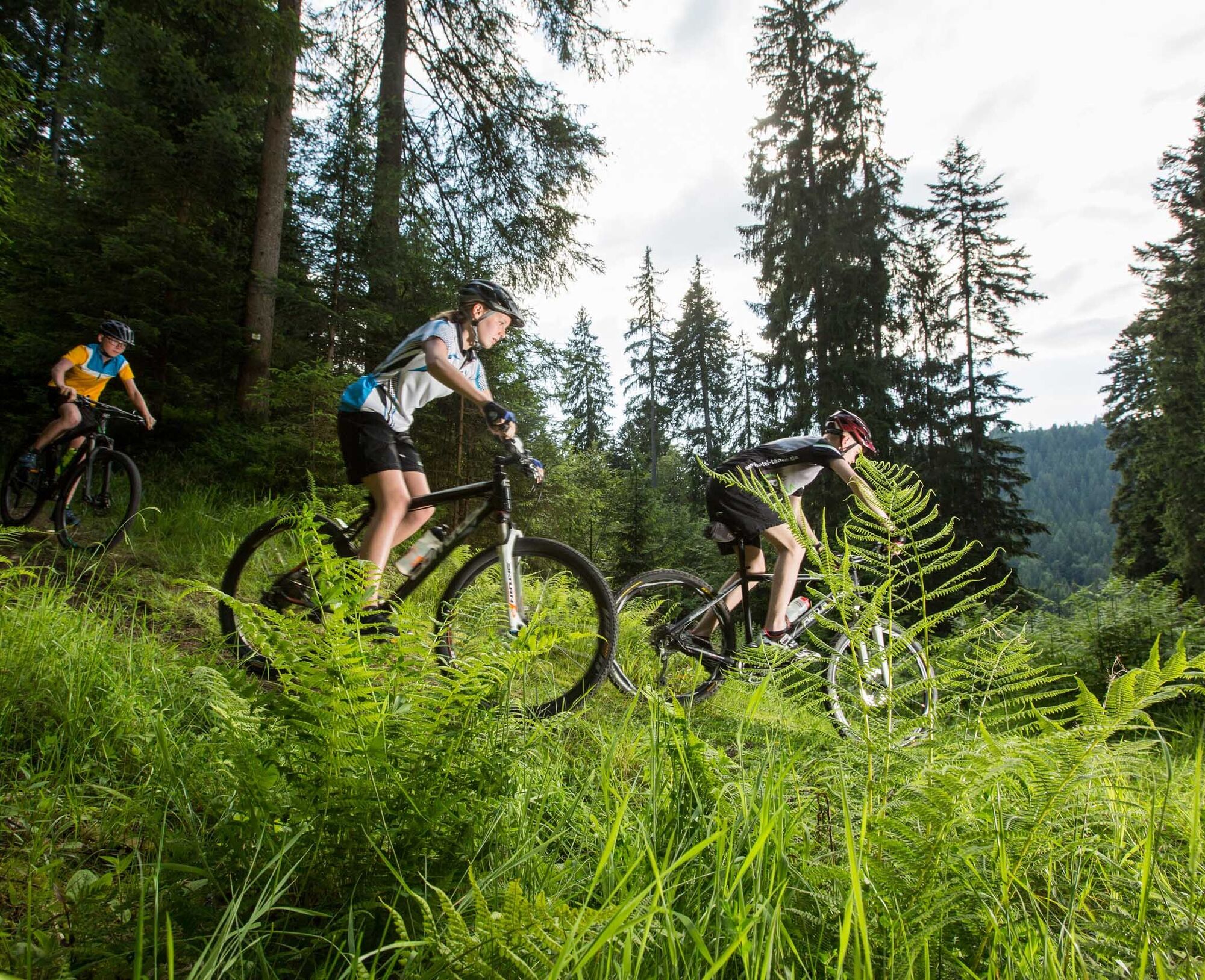
From Heselbach, there is a longer climb up to Zwerenberg. The following hairpin descent is worth the climbing effort (approx. 200m elevation gain). Of course, you can also skip this detour by turning left immediately at Wannengründle.
Gravel roads bring us back up to the ridge near B294. At Hinterbuch, the fun part begins again up to L350. From here, it goes down on an asphalt section to Schönegründ. Continuing north along Alte Landstraße. The uphill trail section is a challenge, afterwards the legs can relax again with a steady rhythm on the gravel ascent.
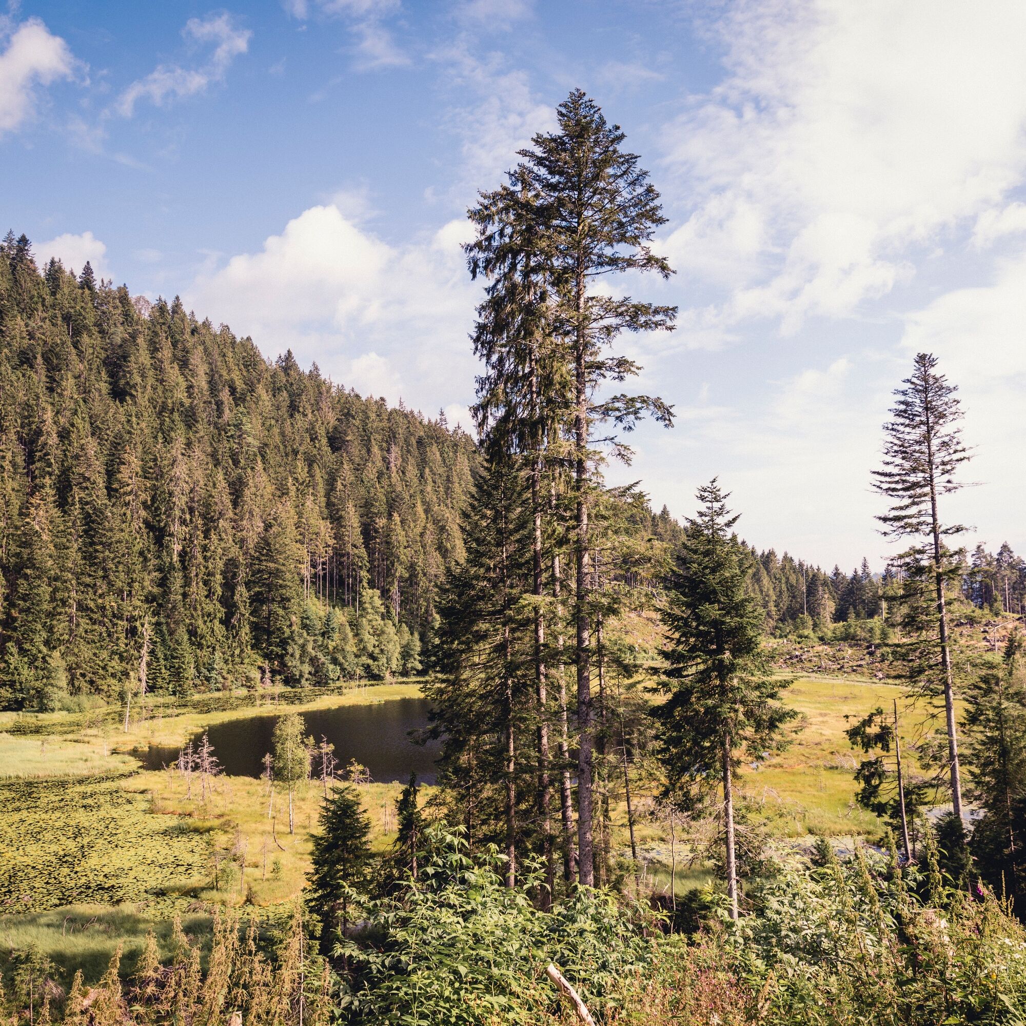
Next is the super flowing Huzenbach trail. Through Huzenbach, with supply options at the local shop, we cycle to the western side of the valley. Just below Huzenbacher See, we enter the Black Forest National Park. On the lake’s circuit, it is worth opening your eyes and ears wide to take in this natural paradise.
Further uphill the route takes us to Kleemisse. Here, be sure to go a few meters further straight ahead to the Huzenbacher Seeblick, it’s worth it! Via a natural path, we reach Kleemisswegle and continue cycling from here, constantly uphill and downhill along the hillside.
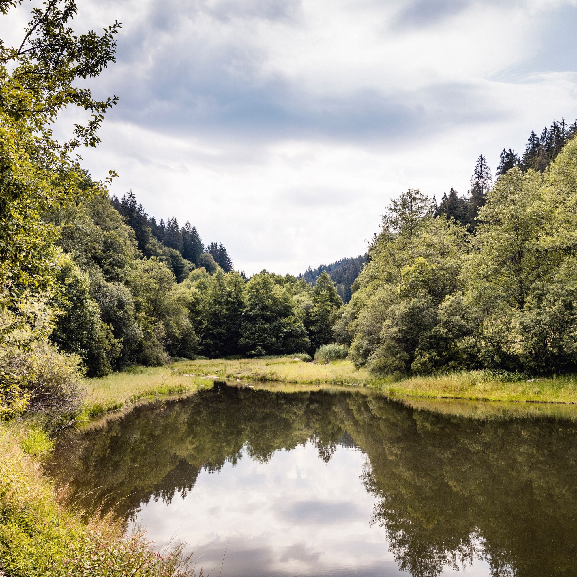
At the Johanna-Katz-Hütte (not managed) there is an opportunity to rest with a great view of the Lower Murgtal. It continues to Hahnenstein and then into the Weiherhüttentrail, another treat for hairpin lovers.
On the following gravel section, we enjoy the view again and then pedal up over Zinkenteich to the Ailbachquelle. Those who want to arrive quickly can take the shortcut.
Everyone else circles Bruckenberg, lies down on one of the sky loungers at Priorstein, and relaxes. The elevation is done; the rest of the route is fun and “rolls”. A longer trail descent with many hairpins again takes us down into Tonbachtal. Along the hillside, we pedal easily towards the finish in Klosterreichenbach.
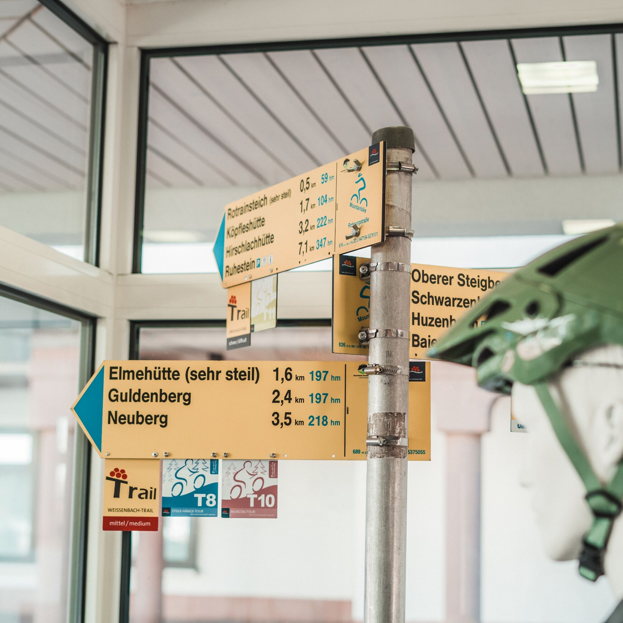
Shortcut: Signed shortcut options are available right at the beginning of the route in Klosterreichenbach and right at the end of the route at Ailbachquelle.
E-Mountainbike: Only suitable for full-suspension e-mountain bikes and very experienced riders
Please check in advance the current trail closures or at the Hiking Information Center Baiersbronn to see if the route is open. Tel.: +49 7442 8414-66.
In the National Park area, there are seasonal trail closures mainly in wildlife protection areas during winter. In particularly sensitive areas, these may extend beyond winter. If closed, a detour is signposted.
Children:
The route is generally suitable for youth from approx. 12 years but places very high demands on fitness. Tip: Plan an overnight stay in Huzenbach!
Klosterreichenbach stop, from there follow the mountain bike signage towards the swimming pool (200m) Baiersbronn station, from there follow the mountain bike signage towards Klosterreichenbach (via Schankhütte) and turn right immediately at the Klosterreichenbach cemetery into the route (approx. 5km).
Parking lot at Freibad Klosterreichenbach, Schwimmbadweg, 72270 Baiersbronn-Klosterreichenbach
S2
Tips for this route:T10 - Murgtal route - Shortcut 1 Dornstetter Weg - Klosterquelle – ReuthäberleT10 - Murgtal route - Shortcut 2 Dornstetter WegEverything about mountain biking in Baiersbronn
Places to eat:
Heselbacher Hof (directly on the route), limited options in Huzenbach (corner shop), various options in Tonbachtal, Seidtenhof towards the end of the route, various options for a final meal in Klosterreichenbach
Huzenbacher See and Huzenbacher Seeblick
Rest with a view at Johanna-Katz-Hütte
Sky loungers with a view at Priorstein
Priljubljeni izleti v okolici
-
Kniebiser Heimatpfad - Wandern mit Genuss
svetlobaPohodništvo 9.07 km -
5.0
Naturgewalten-Tour
Pohodništvo 15.6 km -
5.0
Bannwald-Tour
Pohodništvo 13.3 km -
Kniebis-Sankenbachwasserfälle-Sankenbachsee
srednjaPohodništvo 7.98 km -
4.8
Premiumwanderweg Enzquellenpfad
srednjaPohodništvo 19.9 km -
4.5
Baiersbronn Sky Route: Bannwald Tour
težkoPohodništvo 13.2 km -
Baiersbronn Sky Route: 2-Lake Route
težkoPohodništvo 19.9 km -
4.0
Seibelseckle Wildsee
srednjaPohodništvo 13.0 km -
Ruhestein - Schliffkopf - Ruhestein
srednjaPohodništvo 9.95 km -
4.0
Eiszeit-Tour
Pohodništvo 11.7 km
Pohodništvo in sledenje


Ne zamudite ponudb in navdiha za naslednje počitnice
Vaš e-poštni naslov je bil dodan na poštni seznam.