


From Friedrichshafen over the Gehrenberg to Höchsten
From the starting point in Friedrichshafen, the trail leads northwards via the district of Fallenbrunnen and Schnetzenhausen to Hepbach. The trail first takes you along mostly well-maintained cycle paths...
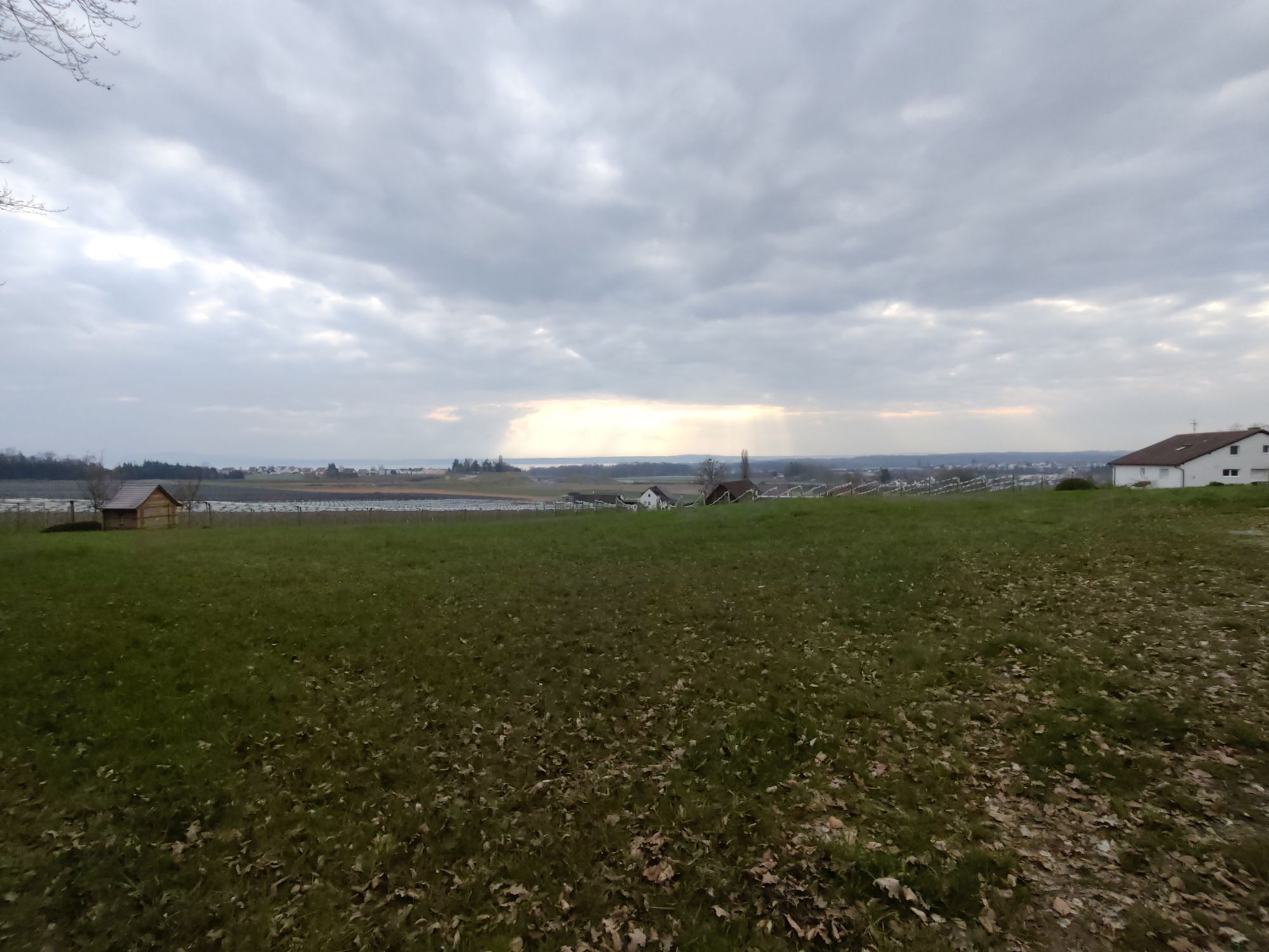
From the starting point in Friedrichshafen, the trail leads northwards via the district of Fallenbrunnen and Schnetzenhausen to Hepbach. The trail first takes you along mostly well-maintained cycle paths and forest paths past extensive orchards. Continue on gravel paths through wooded areas up the Gehrenberg and enjoy the boundless views of Lake Constance, Austria and Switzerland. The trail leads downhill to the small village of Urnau. Shortly before Urnau, turn left onto the L204 towards Schönemühle. From Schönemühle, the gently flowing waters of the Rotach accompany you to the wild and romantic Benistobel.
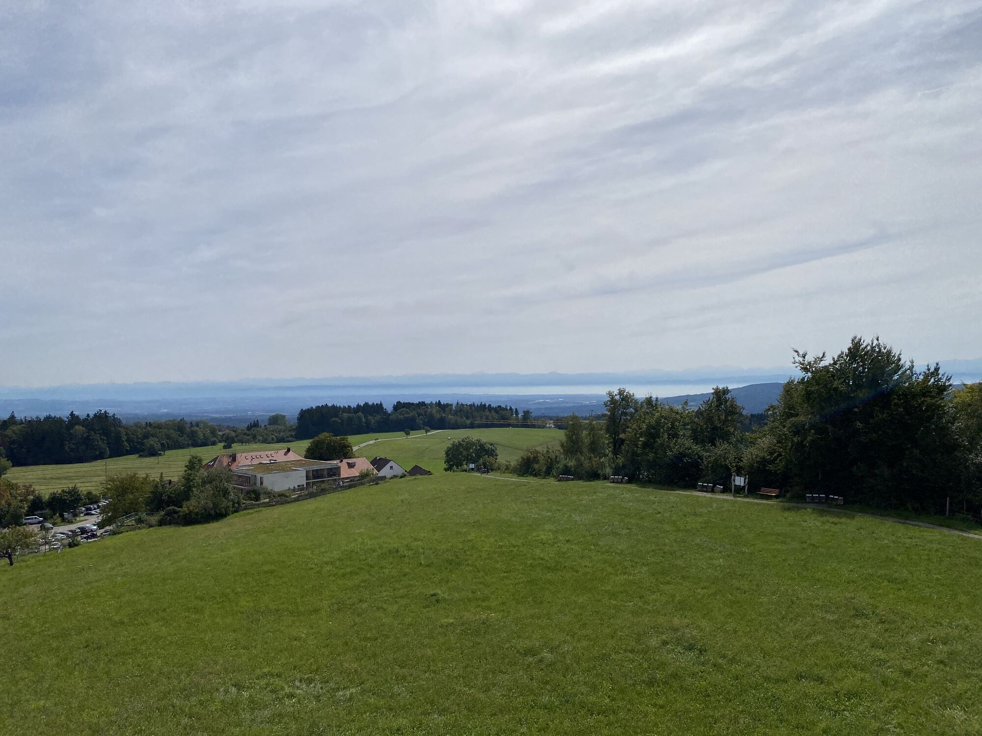
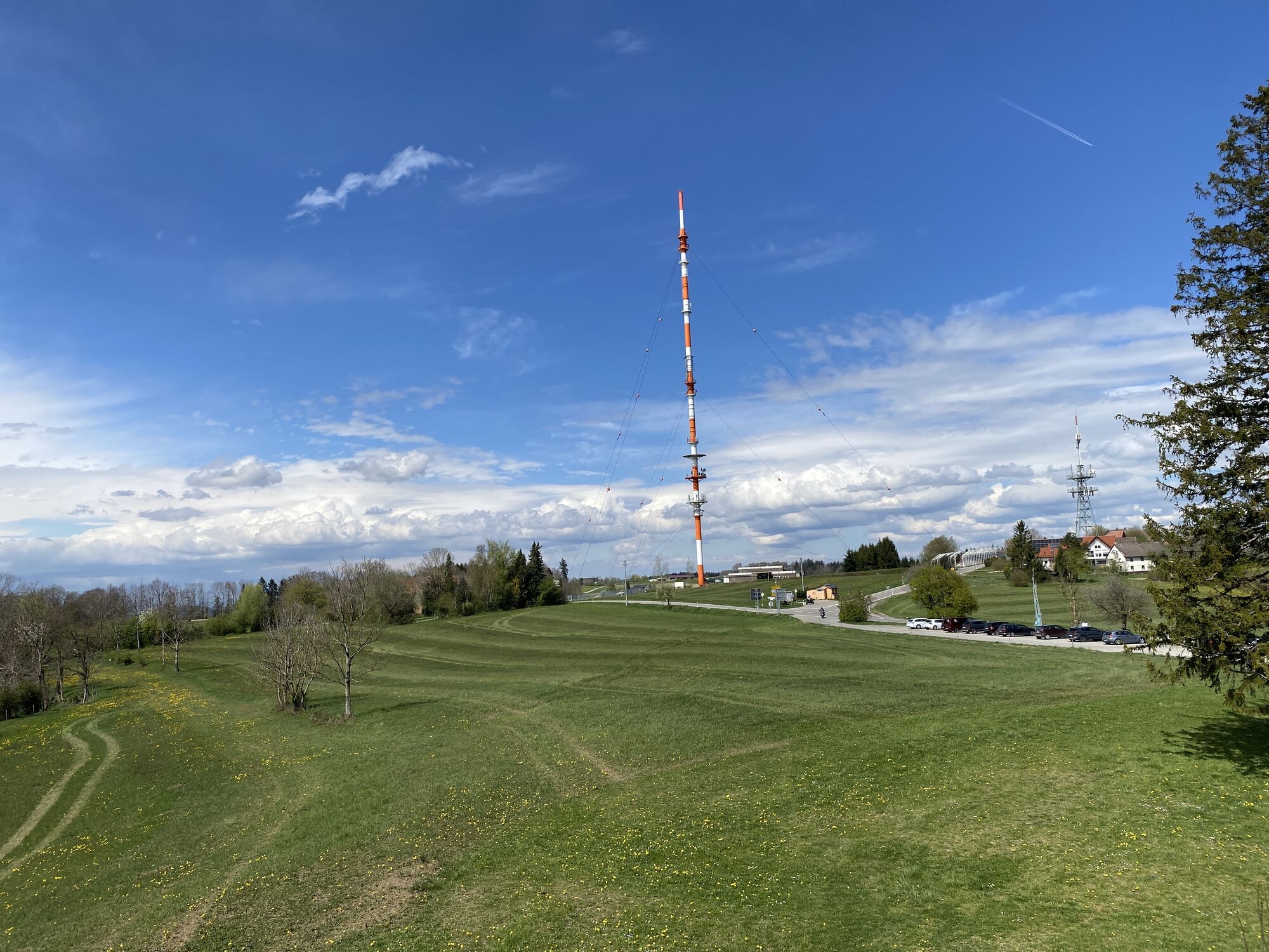
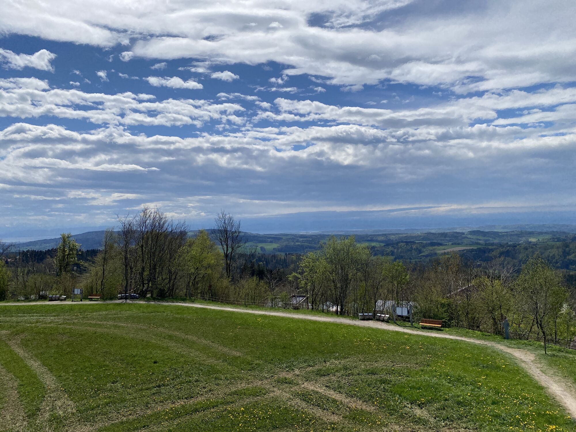
The ascending route leads through unspoilt forests to Homberg and on past meadows and woodland to the viewing pavilion on the Höchsten, which has its name not by chance. The highest mountain on the northern shore of the lake lies at 833 metres above sea level and invites you to take a breather in its mountain inn of the same name. In the cosy beer garden you can sit in the shade under the more than 100-year-old chestnut trees, eat well and enjoy the unobstructed view. Relax as you head downhill into the picturesque Deggenhausertal valley, past meadows and fields to Wahlweiler. Here you turn right to Ober- and Untersiggingen. After a relaxed stretch of trail, the route climbs again a short distance towards Oberstenweiler before a downhill stretch to Bermatingen. Via Lipbach, Efrizweiler, Fischbach and Seemoos, you finally return along the lakeshore to the starting point.
Lush green nature and boundless views from Gehrenberg and Höchsten, and at the end of the tour a refreshing swim in the lake at the Manzell leisure area.
Priljubljeni izleti v okolici
- 4,8
Bodensee LandGänge "Gehrenberg GuckinsLand"
srednjaPohodništvo 15 km - 3,2
Bodenseeradweg
Kolesarjenje 210,8 km - 2,0
Bodensee LandGänge "Bergtour Höchsten"
težkoPohodništvo 16,3 km - 4,7
Meersburg - Rebgut Haltnau - Schlosskirche - Kapelle "Zum Frieden"
srednjaPohodništvo 11,3 km - 5,0
Bodensee LandGänge "Bermatinger Waldwiesen"
svetlobaPohodništvo 9,20 km - 4,0
Wanderung Rotachweg
svetlobaPohodništvo 6,66 km Wanderung rund um Bermatingen und Ahausen
svetlobaPohodništvo 10,3 km- 5,0
Planetenweg Kluftern
svetlobaPohodništvo 5,61 km - 5,0
Runde durch Wald und Flur
svetlobaPohodništvo 7,32 km - 4,0
Hagnauer und Immenstaader Obst- und Weinwanderweg
svetlobaPohodništvo 16,2 km
Pohodništvo in sledenje


Ne zamudite ponudb in navdiha za naslednje počitnice
Vaš e-poštni naslov je bil dodan na poštni seznam.