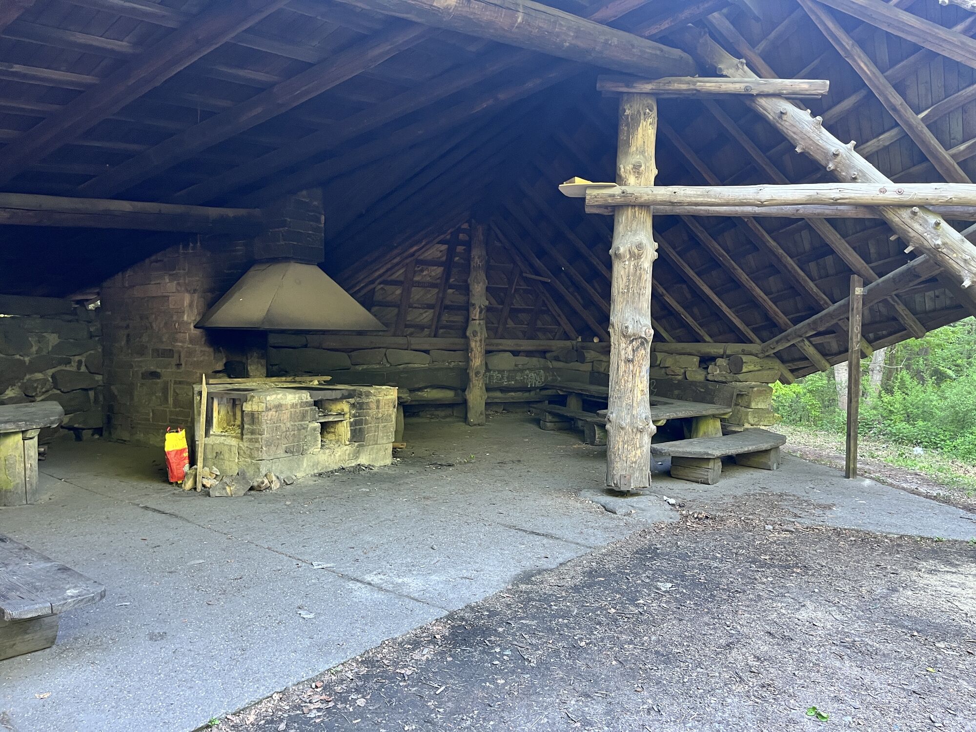
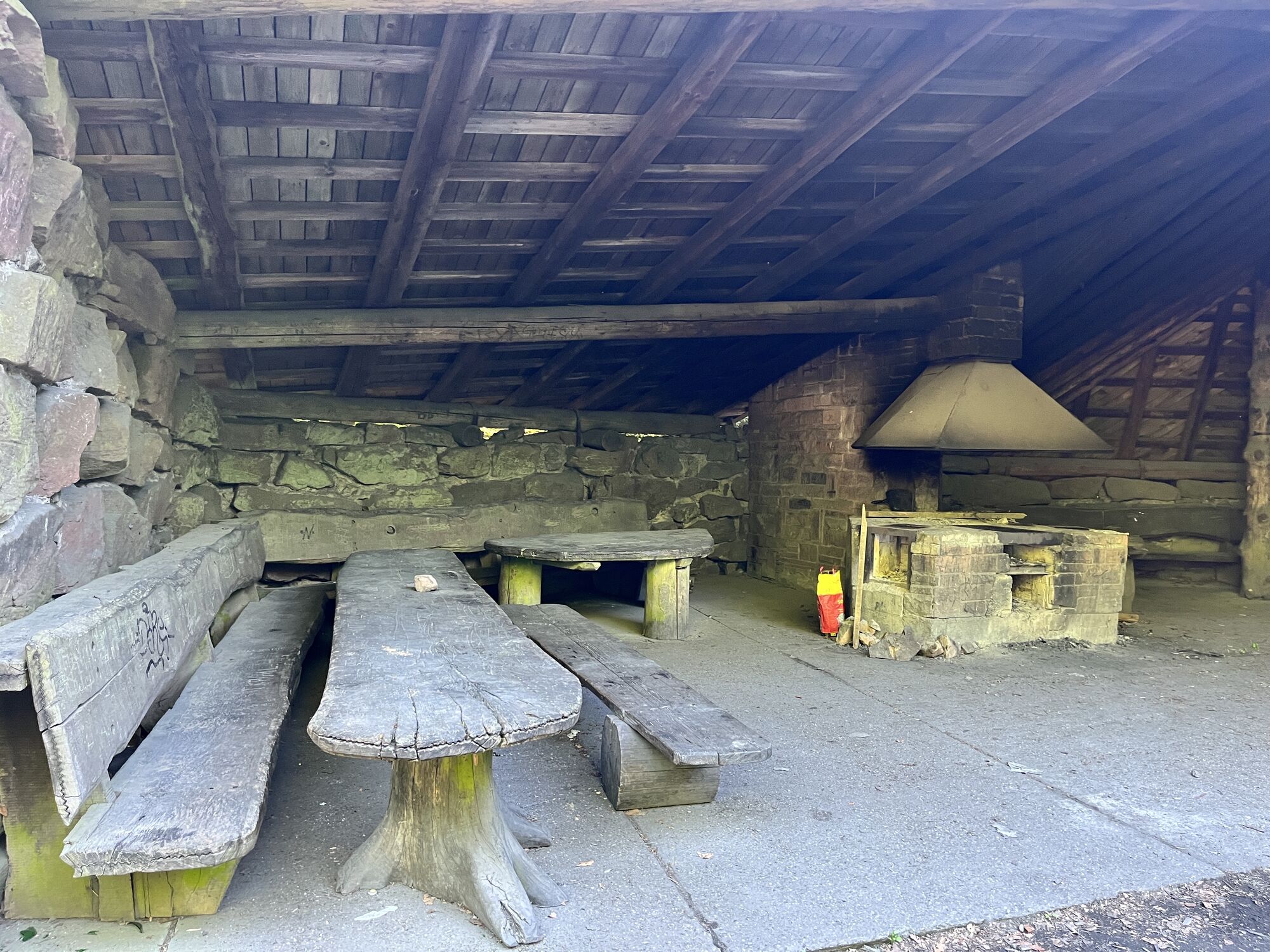
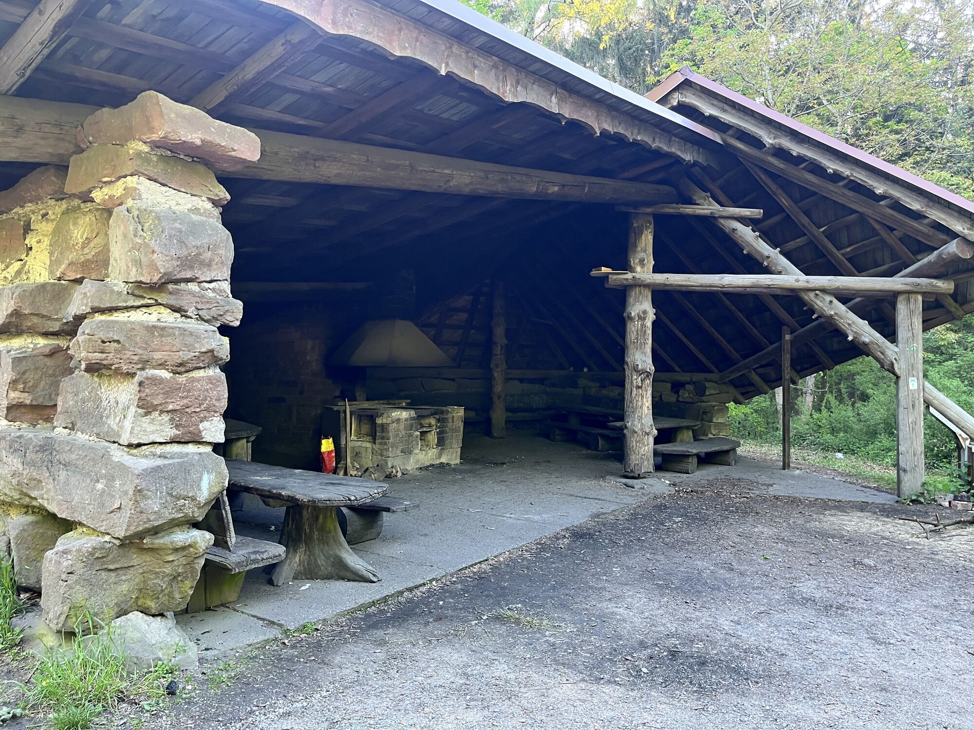
Schönauer-Tour Sö1
srednja
Mountainbike
Navigacija po spletni strani
Pridobite to turo v svoj mobilni telefon
Zemljevid
Schönauer-Tour Sö1
srednja
Mountainbike
28.01 km
Skenirajte kodo QR in začnite navigacijo v aplikaciji bergfex.
QR Code
Pohodništvo in sledenje

Schönauer-Tour Sö1

Razdalja
28.01 km
Trajanje
03:55 h
Ascent
752 hm
Morska gladina
206 - 547 m
Prenos skladbe
Zemljevid
Schönauer-Tour Sö1
srednja
Mountainbike
28.01 km
Pot
Feuersteinskopf
(316 m)
Vrh
0.0 km
Sitzbuche
(457 m)
Koridor/teren
5.1 km
St. Peter
(255 m)
Kraj čaščenja
6.8 km
Weißer Stein
(549 m)
Vrh
18.3 km
Langer Kirschbaum
(499 m)
Koridor/teren
20.9 km
Geigersheide
(537 m)
Vrh
21.6 km
Feuersteinskopf
(316 m)
Vrh
27.6 km
Pot
Zemljevid
Schönauer-Tour Sö1
srednja
Mountainbike
28.01 km
Feuersteinskopf
(316 m)
Vrh
0.0 km
Schönau
(182 m)
Mesto
0.5 km
Lochmühle
(267 m)
Koridor/teren
1.7 km
Münchel
(390 m)
Koridor/teren
3.0 km
Münchelbrunnen
(393 m)
Vir:
3.1 km
Sitzbuche
(457 m)
Koridor/teren
5.1 km
Zum Waldhorn
(298 m)
Restavracija
6.3 km
Peterstal
(284 m)
Soseska
6.4 km
St. Peter
(255 m)
Kraj čaščenja
6.8 km
Stickelsplatz
(421 m)
Koridor/teren
12.9 km
Zollstock
(395 m)
Koridor/teren
13.3 km
Heidelberg
(114 m)
Mesto
13.4 km
Drehscheibe
(355 m)
Pogled
14.5 km
Siebenwege
(485 m)
Koridor/teren
17.1 km
Weißer Stein
(549 m)
Vrh
18.3 km
Weisser-Stein Turm
(555 m)
Pogled
18.3 km
Zum Weißen Stein
(551 m)
Restavracija
18.3 km
Langer Kirschbaum
(499 m)
Koridor/teren
20.9 km
Geigersheide
(537 m)
Vrh
21.6 km
Holzapfelbaum
(505 m)
Gorsko sedlo
22.6 km
Prinzensitz
(500 m)
Koridor/teren
23.3 km
Linde
(445 m)
Koridor/teren
24.8 km
Feuersteinskopf
(316 m)
Vrh
27.6 km
Schönau
(182 m)
Mesto
28.0 km
Informacije o turneji

On this route, the climbs to the Odenwald Heights are rewarded with beautiful views over the Neckar Valley as well as into the Odenwald. The Weißer Stein is a topographical and visual highlight and invites you to take a break.

Tehnologija
n.a.
Stanje
4 / 6
Pokrajina
6 / 6
Izkušnje
5 / 6
Dostopno vse leto
Jan
Feb
Mar
Apr
Maj
Jun
Jul
Avg
Sep
Okt
Nov
Dec
Avtor
Zagotavlja Naturpark Neckartal-Odenwald
Skupna turneja
Zemljevid
Schönauer-Tour Sö1
srednja
Mountainbike
28.01 km
Napaka
Zgodila se je napaka. Prosimo, poskusite znova.
Varnostna navodila

Using the marked circular routes and connecting paths is at your own risk! The marking of the circular routes and connecting paths does not entail any traffic safety obligations for the owners of the paths, the affected municipalities, forestry administrations, the Geo-Nature Park Bergstraße-Odenwald, or the Nature Park Neckartal-Odenwald. Users of the circular routes must be aware of the typical forest dangers and are responsible for accidents and falls resulting from them. Vehicle traffic and temporary route closures, e.g. due to forest management or hunting activities, must always be expected. Warning signs from forestry administrations, hunting operations, or other warnings must be strictly observed. Pay attention to pedestrians and show special consideration. In addition, nature-conscious bikers should avoid using the routes after dusk and before sunrise to protect wildlife and should not leave the marked trails.

Še ni pregledov
Napišite pregled

Mnenja pomagajo drugim uporabnikom pri izbiri naslednje pustolovščine. Ocenite samo izlet, ne pa tudi vremena ali prigrizka.

Izberite eno od zvezdic, da ocenite ogled
Slaba turneja
Šibka turneja
Povprečna turneja
Dobra tura
Odlična tura
bergfex logo Pridobite vpogled Vedno v živo na mestu z več kot 9.500 spletnimi kamerami. bergfex Kot uporabnik Pro si lahko zdaj ogledate ustrezne spletne kamere za številne izlete v aplikaciji izleti iz. Tako si lahko neposredno ogledate trenutne razmere.
Pohodništvo in sledenje

Pohodništvo in sledenje

Pohodništvo in sledenje
Zaradi več kot 550.000 predlogov izletov, podrobnih zemljevidov in intuitivnega načrtovanja poti je aplikacija obvezna oprema za vse ljubitelje narave.
Pohodništvo in sledenje
bergfex bergfex