


Hiking at Sainte-Marguerite Lakes
From very first twists and turns on the Lavoir trail, you start to gain height. Setting foot in Loza is like stepping into a world made purely for contemplation. Let the great outdoors work its magic....
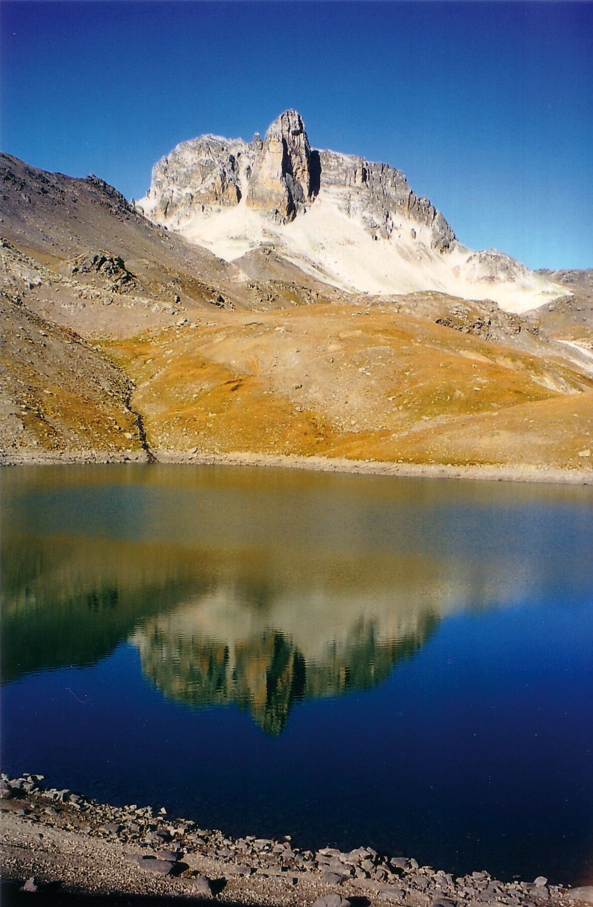
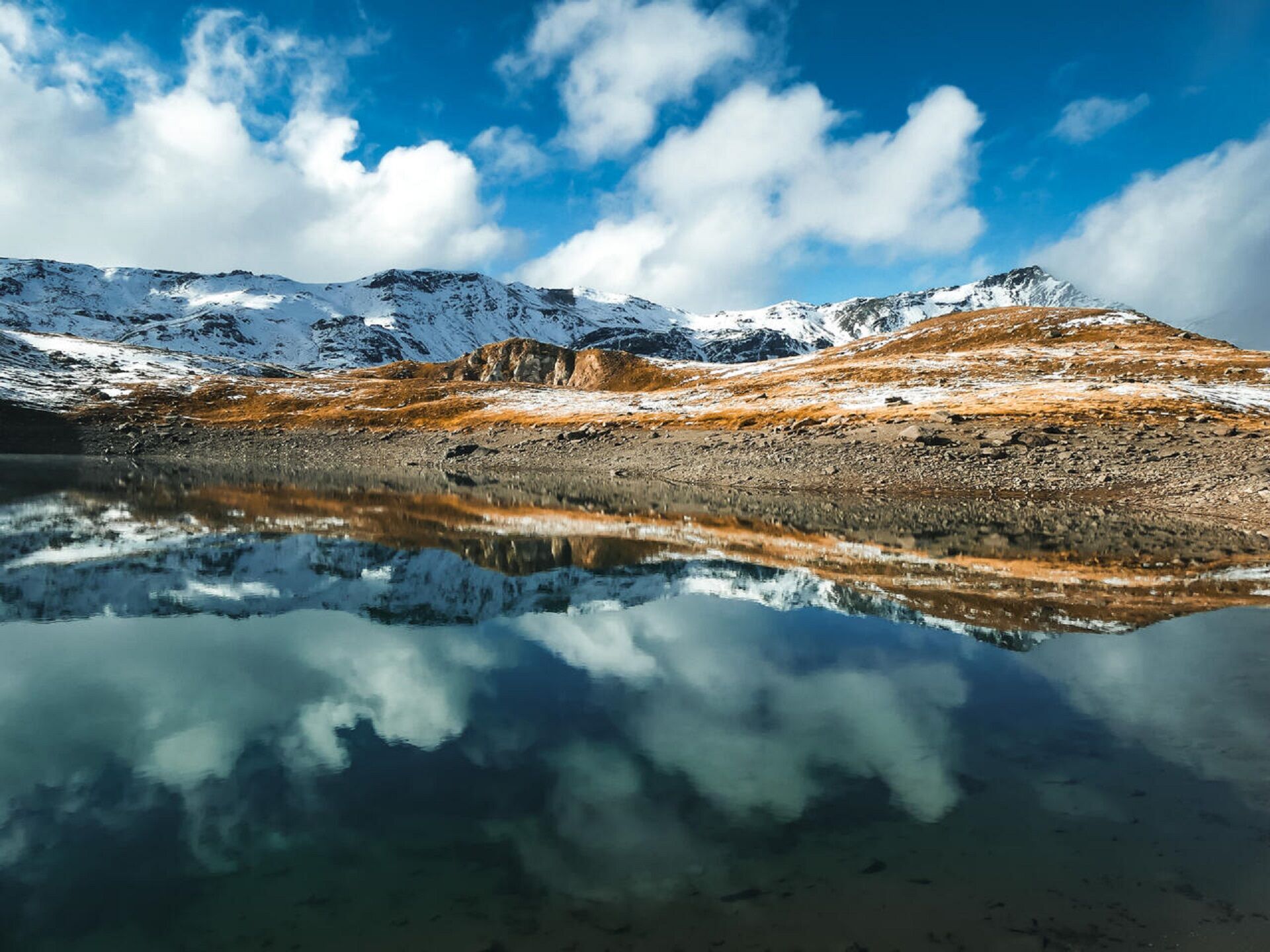
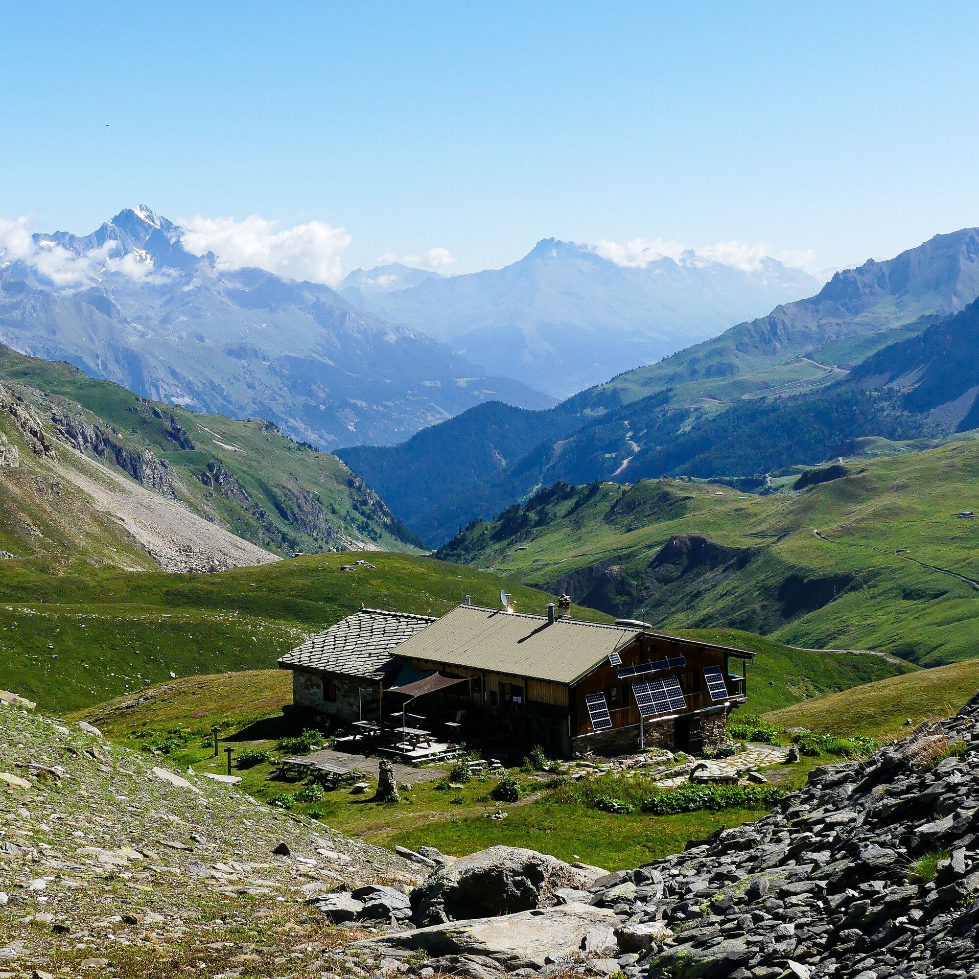
From very first twists and turns on the Lavoir trail, you start to gain height. Setting foot in Loza is like stepping into a world made purely for contemplation. Let the great outdoors work its magic. A diverse environment welcomes you, with Mount Tabor as a backdrop. The Nature Reserve, in a zone that lies between 1,750m and 3,178m above sea level, has many exciting discoveries in store. The trail takes you through the high-altitude grasses so delightful to marmots. Hidden behind the rocky formations, they keep a watchful eye on your progress and sound the alarm with their distinctive whistle. As the slope steepens, you're overcome with the thrill of exploration. A sense of infinity takes hold of you. The Mount Tabor Refuge awaits you, nestled in its lush valley. Let's go! Just a bit further, and the Rond and Long lakes will reveal their glories step by step. Recognise the Three Kings behind you, standing proudly? Balthazar, Melchior and Gaspard are lords and masters of the place.
To guide you in the field, consult the "step-by-step" directional diagram provided in pdf.
Da
As hazards may occur at any time on the routes, the GPX tracks provided are not contractual. They are given for information only. Riders use them at their own risk, depending on their level of technological proficiency and their understanding of the terrain.
Priljubljeni izleti v okolici
- 4,5
BARDONECCHIA Pian del Colle - Valle Stretta
srednjaSnežni čevlji 5,02 km - 5,0
BARDONECCHIA Colle Sommeiller
srednjaMountainbike 25,4 km - 5,0
BARDONECCHIA Forte Jafferau Loop
težkoMountainbike 36,8 km - 5,0
BARDONECCHIA Green Lake
svetlobaPohodništvo 2,14 km - 4,5
BARDONECCHIA Walter Bonatti Path - Grange della Rho
srednjaPohodništvo 6,06 km - 5,0
BARDONECCHIA Decauville
srednjaPohodništvo 7,29 km - 5,0
BARDONECCHIA Col des Acles - Passo della Mulattiera
srednjaPohodništvo 6,23 km BARDONECCHIA Lago Verde
svetlobaMountainbike 10,7 kmBARDONECCHIA Monte Jafferau
težkoPohodništvo 11,6 kmGR® 57 Tour de la Haute-Clarée
srednjaPohodništvo 87,3 km
Pohodništvo in sledenje


Ne zamudite ponudb in navdiha za naslednje počitnice
Vaš e-poštni naslov je bil dodan na poštni seznam.