
Tour pédestre de Méan Martin en 5 jours - Stage 1 - From Bonneval sur Arc to Refuge de Vallonbrun
težko
Pridobite to turo v svoj mobilni telefon
Tour pédestre de Méan Martin en 5 jours - Stage 1 - From Bonneval sur Arc to Refuge de Vallonbrun
težko
Pohodništvo
15.47
km
Skenirajte kodo QR in začnite navigacijo v aplikaciji bergfex.


Pohodništvo in sledenje




Tour pédestre de Méan Martin en 5 jours - Stage 1 - From Bonneval sur Arc to Refuge de Vallonbrun
težko
Razdalja
15.5
km
Trajanje
05:00
h
Ascent
599
hm
Morska gladina
1,676 -
2,289
m

V aplikaciji si oglej pot
Brezplačno namestite aplikacijo in spremljajte pot z GPS-navigacijo in sledenjem.
bergfex zdaj uporabljaj v aplikaciji
S kamero poskeniraj QR-kodo
Ko je aplikacija nameščena, se vsebina odpre takoj. Če aplikacije še nimaš, te bo preusmerila na stran za brezplačen prenos.
Prenos skladbe
Tour pédestre de Méan Martin en 5 jours - Stage 1 - From Bonneval sur Arc to Refuge de Vallonbrun
težko
Pohodništvo
15.47
km
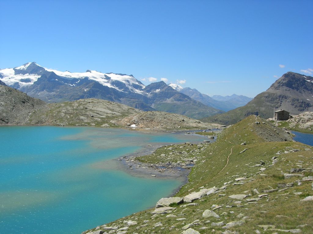
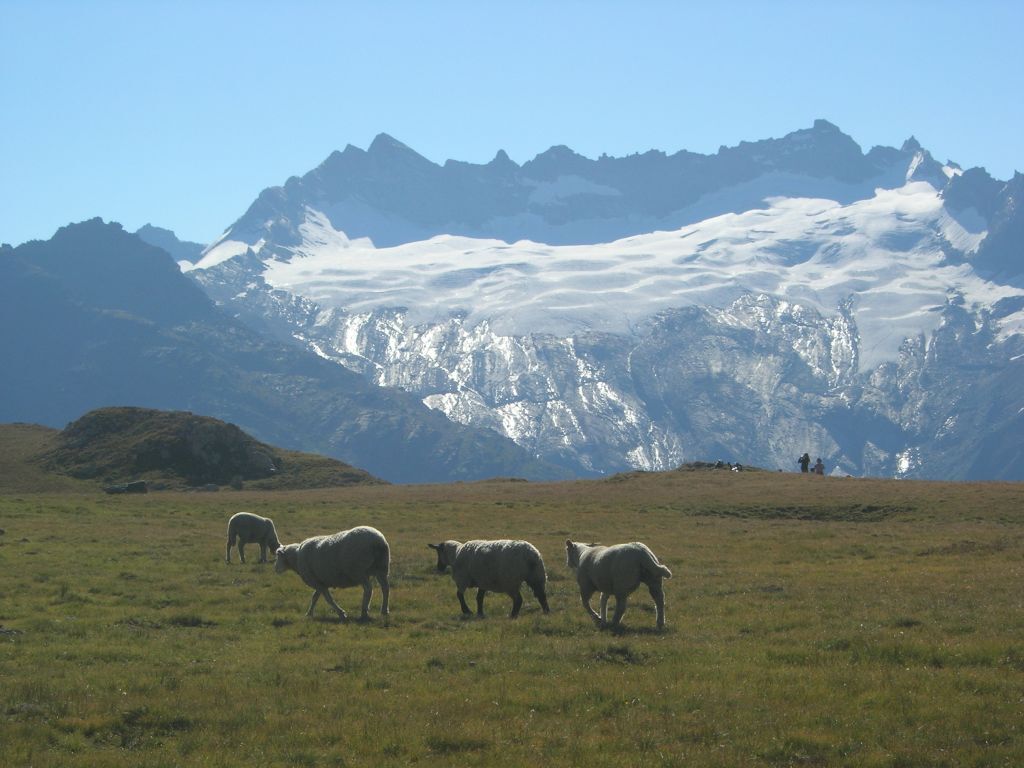
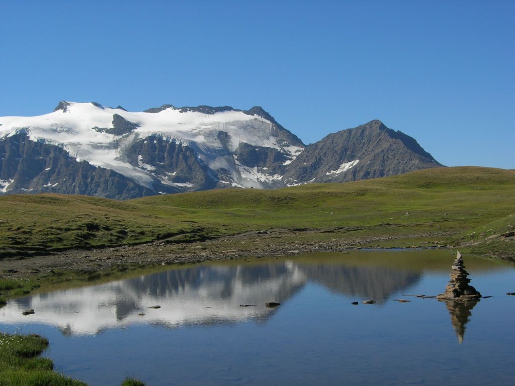
In contact with glaciers, walk in the heart of wide open spaces.
On this tour, you'll discover an extraordinary diversity
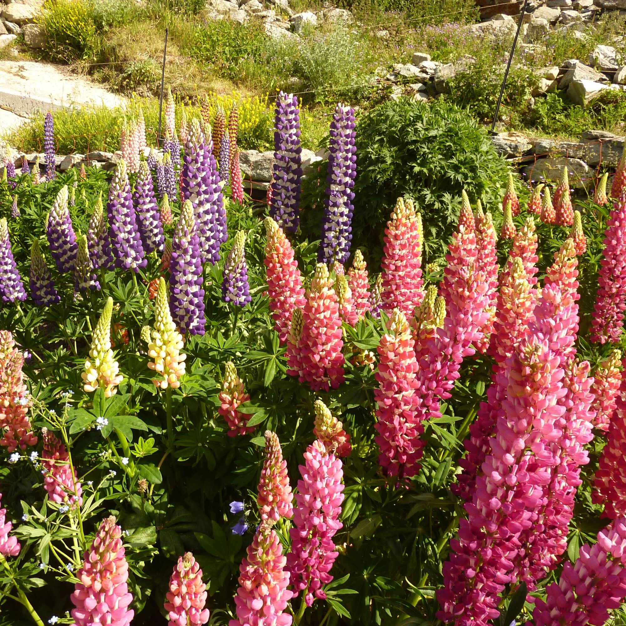
diversity of landscapes, and the flora and fauna of the Vanoise
national park.
This...
Opis
In contact with glaciers, walk in the heart of wide open spaces.
On this tour, you'll discover an extraordinary diversity
diversity of landscapes, and the flora and fauna of the Vanoise
national park.
This itinerary will be appreciated by medium-level hikers, for its long but moderately uneven stages.
Everyone will be delighted by the warm welcome and comfort of the refuges.
On this tour, you'll discover an extraordinary diversity
diversity of landscapes, and the flora and fauna of the Vanoise
national park.
This itinerary will be appreciated by medium-level hikers, for its long but moderately uneven stages.
Everyone will be delighted by the warm welcome and comfort of the refuges.
Pot
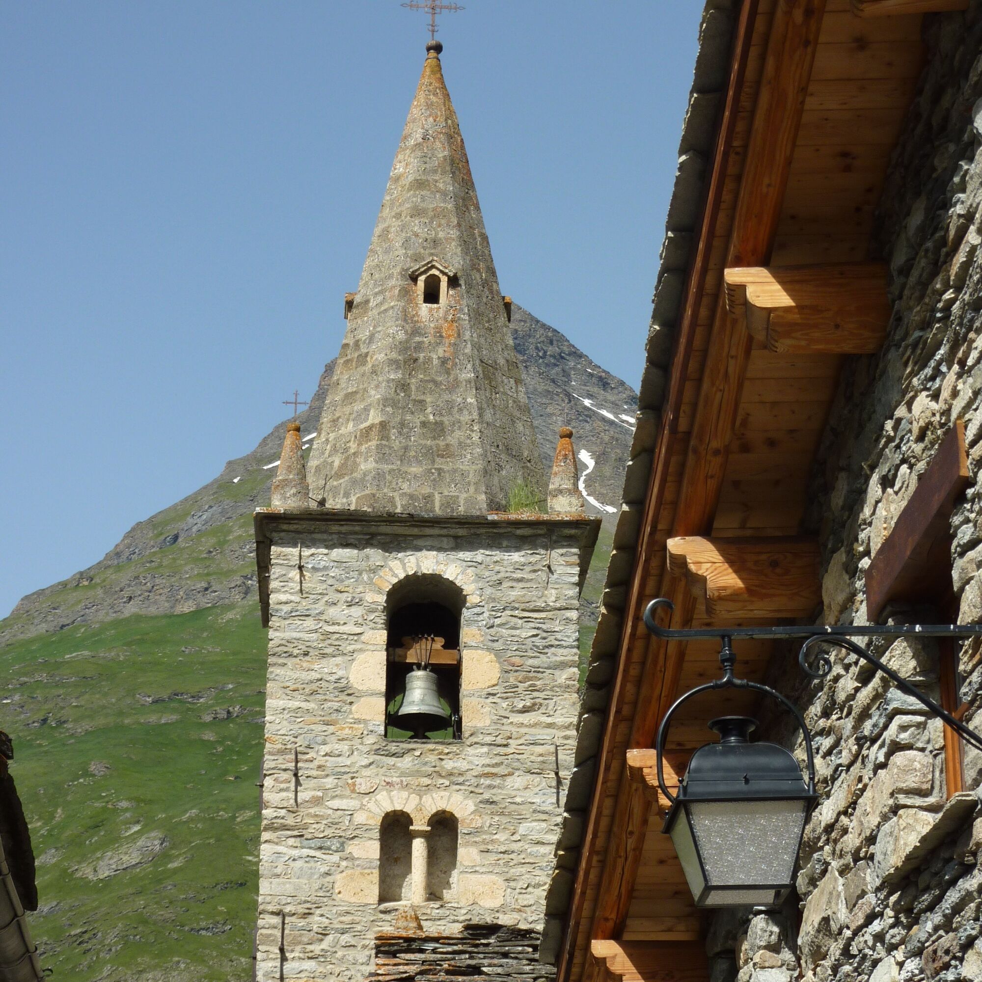
Église Notre-Dame-de-l'Assomption
(1,787 m)
Kraj čaščenja
0.1 km
Chapelle Saint-Bernard
(1,735 m)
Kraj čaščenja
5.2 km
Le Villaron
(1,740 m)
Poravnava
5.4 km
Bessans
(1,710 m)
Vas
7.8 km
Le Collet
(1,754 m)
Poravnava
12.1 km
Chapelle Marie-Madeleine
(1,753 m)
Kraj čaščenja
12.3 km
Refuge de Vallonbrun
(2,271 m)
Zavetišče
15.4 km
Pot
Tour pédestre de Méan Martin en 5 jours - Stage 1 - From Bonneval sur Arc to Refuge de Vallonbrun
težko
Pohodništvo
15.47
km
Bonneval-sur-Arc
(1,789 m)
Vas
0.0 km
Église Notre-Dame-de-l'Assomption
(1,787 m)
Kraj čaščenja
0.1 km
Rocher du Château
(1,775 m)
Koridor/teren
3.5 km
Chapelle Saint-Bernard
(1,735 m)
Kraj čaščenja
5.2 km
Le Villaron
(1,740 m)
Poravnava
5.4 km
Bessans
(1,710 m)
Vas
7.8 km
Le Collet
(1,754 m)
Poravnava
12.1 km
Chapelle Marie-Madeleine
(1,753 m)
Kraj čaščenja
12.3 km
Refuge de Vallonbrun
(2,271 m)
Zavetišče
15.4 km
Avtor
Zagotavlja Haute Maurienne Vanoise


Informacije o poti
Pot
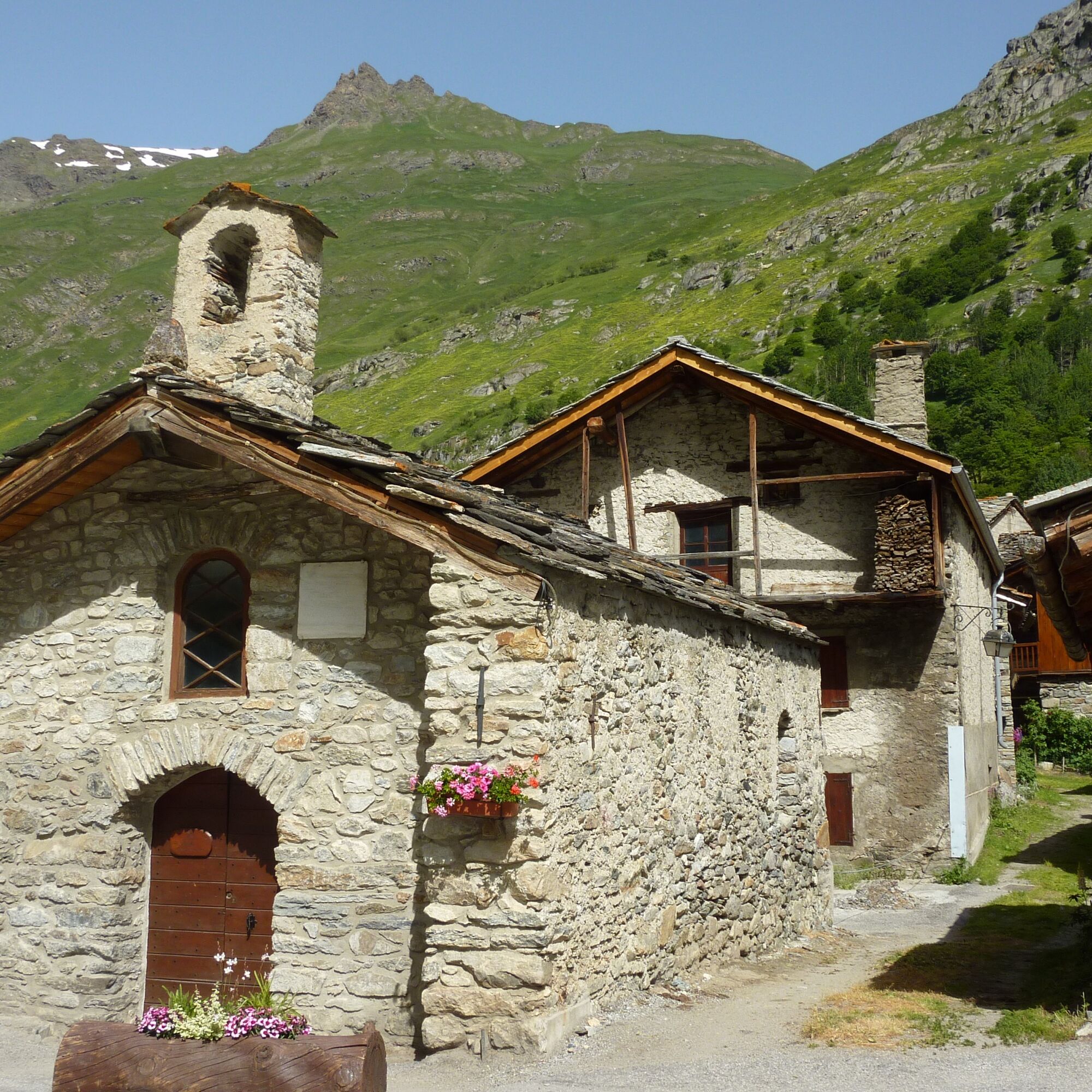
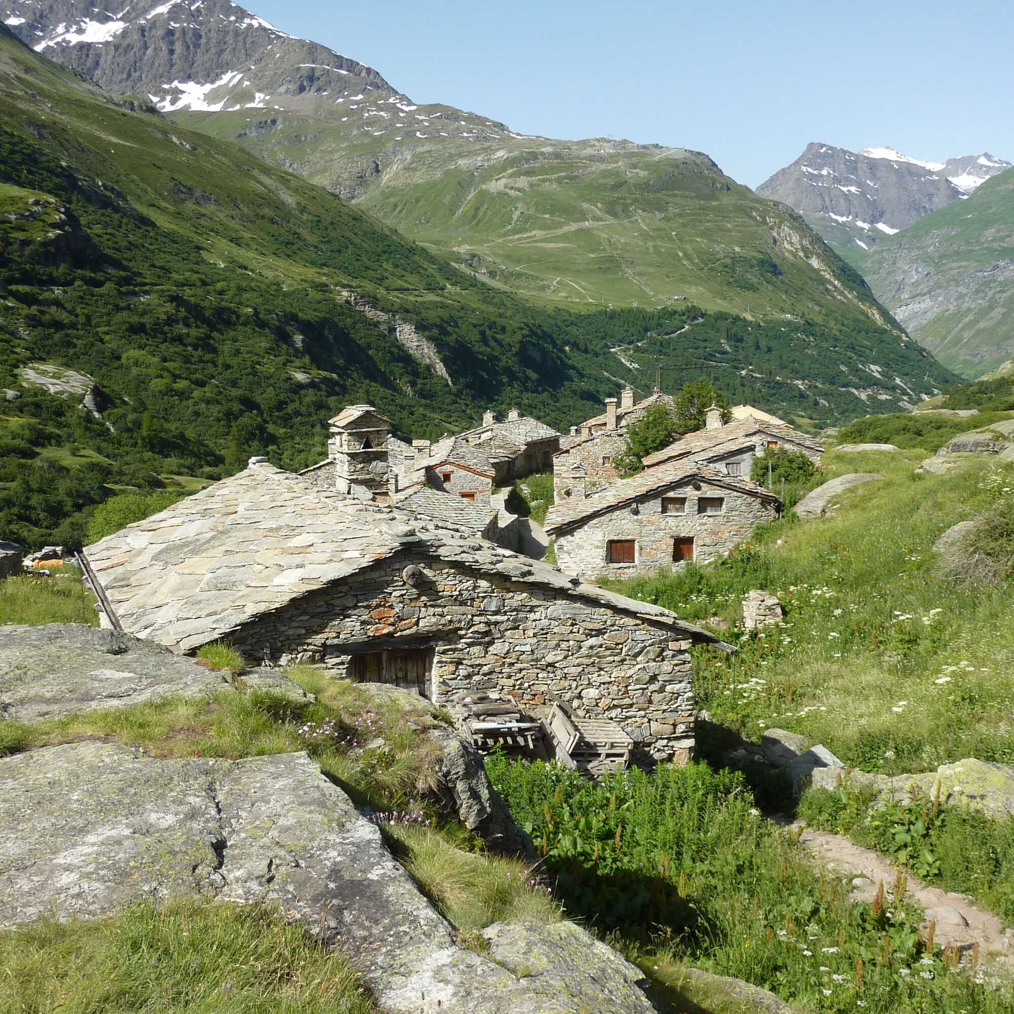
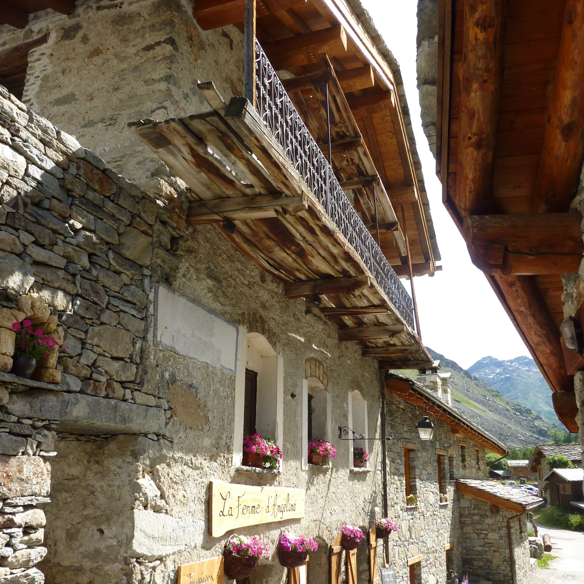
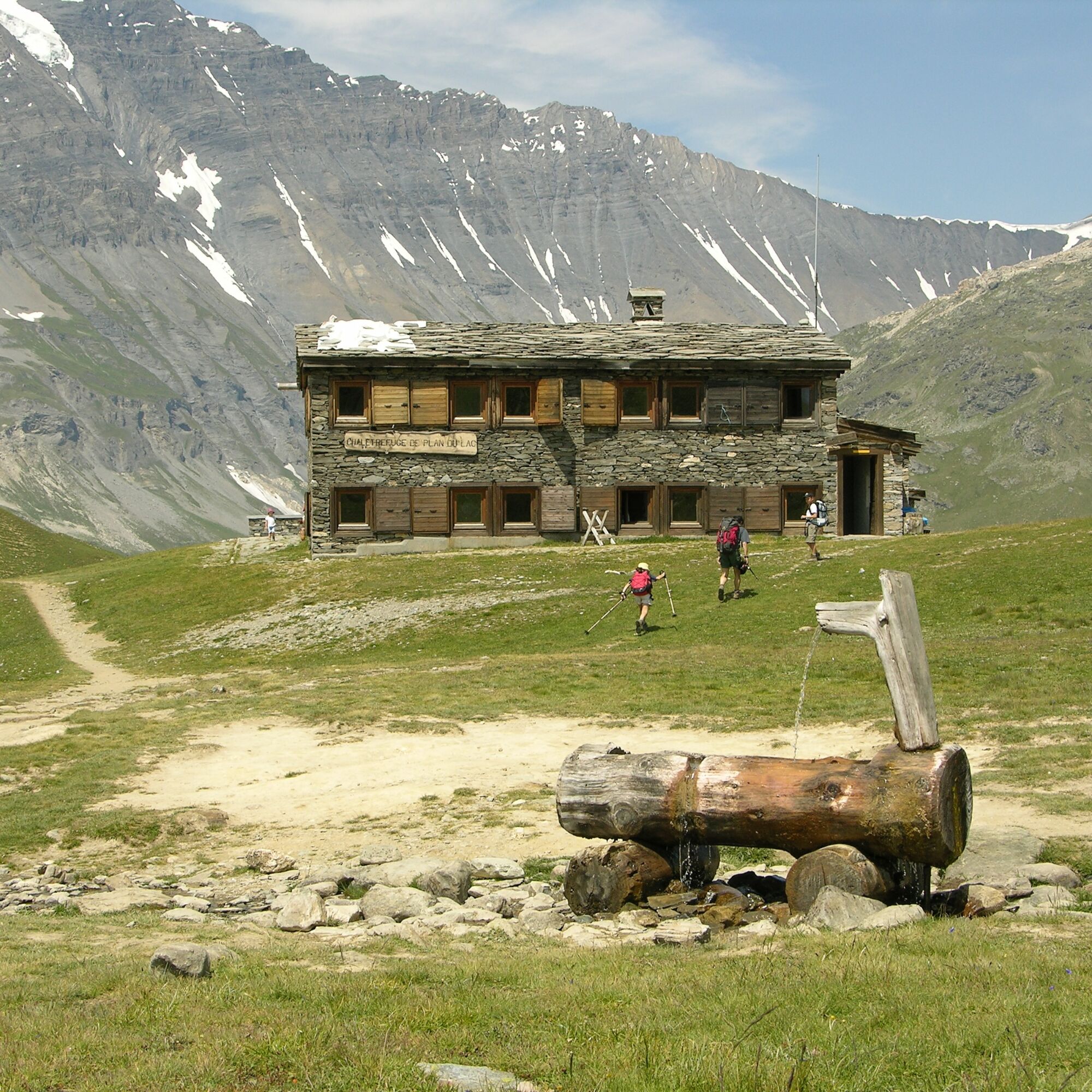
1/ Via the Chemin du Petit Bonheur (GR5), the trail descends the valley alongside the Arc. Pass through Villaron, Bessans and Collet de la Madelaine, before heading back up to the Vallonbrun refuge. This first stage, mostly on the valley floor, is an excellent warm-up for the rest of the route.
Dodatne informacije in nasveti
Dodatne informacije
Advance booking is essential for your night in the refuge. Stay on the trails by following the markings, carry your waste with you.
Še ni pregledov
Spletne kamere s turneje

Vse spletne kamere na zemljevidu
Brezplačno namesti aplikacijo in primerjaj slike v živo z več lokacij, preden se odpraviš na pot.
bergfex zdaj uporabljaj v aplikaciji
S kamero poskeniraj QR-kodo
Ko je aplikacija nameščena, se vsebina odpre takoj. Če aplikacije še nimaš, te bo preusmerila na stran za brezplačen prenos.
Priljubljeni izleti v okolici
-
4.5
Rocciamelone partedjo dalla Riposa. Mompantero, Piemont/Italien
srednjaPohodništvo 10.6 km -
5.0
The Grand Méan lake via the Evettes circus
težkoPohodništvo 13.6 km -
4.5
Hiking at Lake Clair
težkoPohodništvo 6.99 km -
little 'Haute-Maurienne Vanoise' circuit
težkoCestno kolo 32.0 km -
5.0
BALME Arnas Ring - Pian della Mussa
težkoPohodništvo 13.6 km -
5.0
Alta Via delle Valli di Lanzo | Stage 4 Rifugio Citt di Ciri - Rifugio Cibrario
težkoPohodništvo 12.0 km -
The White Lake
svetlobaPohodništvo 4.42 km -
USSEGLIO Lake behind the Tower and of the Rossa
težkoPohodništvo 17.1 km -
Col de l'Iseran from Modane
težkoCestno kolo 59.5 km -
Col du Mont Cenis from Modane
težkoCestno kolo 34.8 km
Pohodništvo in sledenje

Zaradi več kot 550.000 predlogov izletov, podrobnih zemljevidov in intuitivnega načrtovanja poti je aplikacija obvezna oprema za vse ljubitelje narave.

Ne zamudite ponudb in navdiha za naslednje počitnice
Naročite se na novice
Napaka
Zgodila se je napaka. Prosimo, poskusite znova.
Zahvaljujemo se vam za prijavo
Vaš e-poštni naslov je bil dodan na poštni seznam.
Izleti po vsej Evropi
Avstrija
Švica
Nemčija
Italija
Slovenija
Francija
Nizozemska
Belgija
Poljska
Lihtenštajn
Češka
Slovaška
Španija
Chorvátsko
Bosna in Hercegovina
Luksemburg
Andora
පෘතුගාලය
අයිස්ලන්තය
එක්සත් රාජධානිය
අයර්ලන්තය
ග්රීසිය
ඇල්බේනියාව
North Macedonia
Malta
Norway
Montenegro
Moldova
කොසෝවො
හන්ගේරියානු සමුහාණ්ඩුව
San Marino
රුමේනියාව
එස්ටෝනියා
ලැට්වියාව
බෙලාරස්
සයිප්රස්
Lithuania
Serbia
බල්ගේරියාව
Monaco
ඩෙන්මාර්කය
Sweden
ෆින්ලන්තය





