Hiking loop of the Magnine falls
srednja
Pridobite to turo v svoj mobilni telefon
Hiking loop of the Magnine falls
srednja
Pohodništvo
4,38
km
Skenirajte kodo QR in začnite navigacijo v aplikaciji bergfex.


Pohodništvo in sledenje




Hiking loop of the Magnine falls
srednja
Razdalja
4,38
km
Trajanje
01:30
h
Ascent
237
hm
Morska gladina
246 -
503
m
Stopnja težavnosti: T2
Prenos skladbe
Hiking loop of the Magnine falls
srednja
Pohodništvo
4,38
km
This loop, which departure is located a few meters from the Castle of Montveran, the old aqueduct and the Chapel of Culoz, leads you to follow the various waterfalls of the Magnine on a path up to the...
Opis
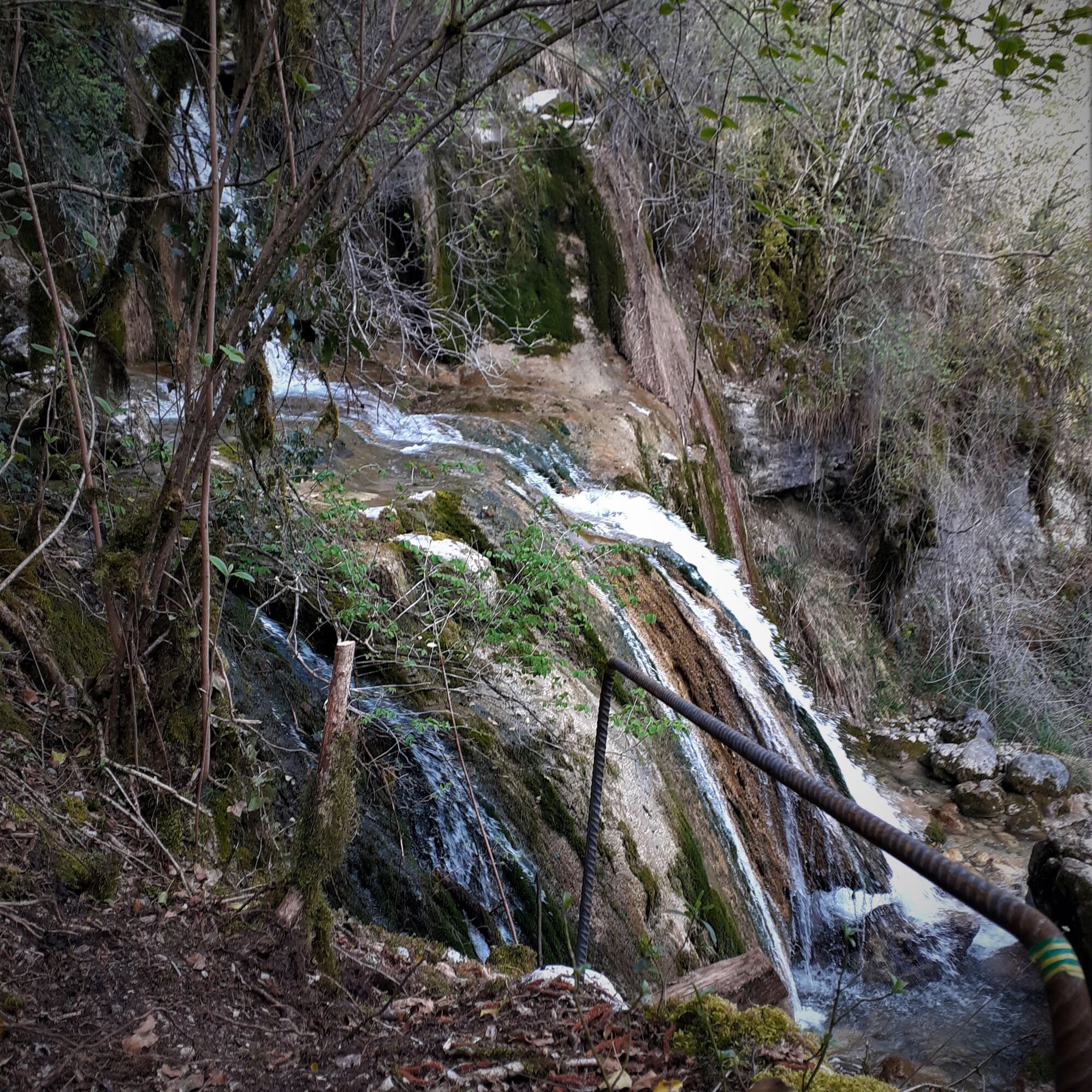
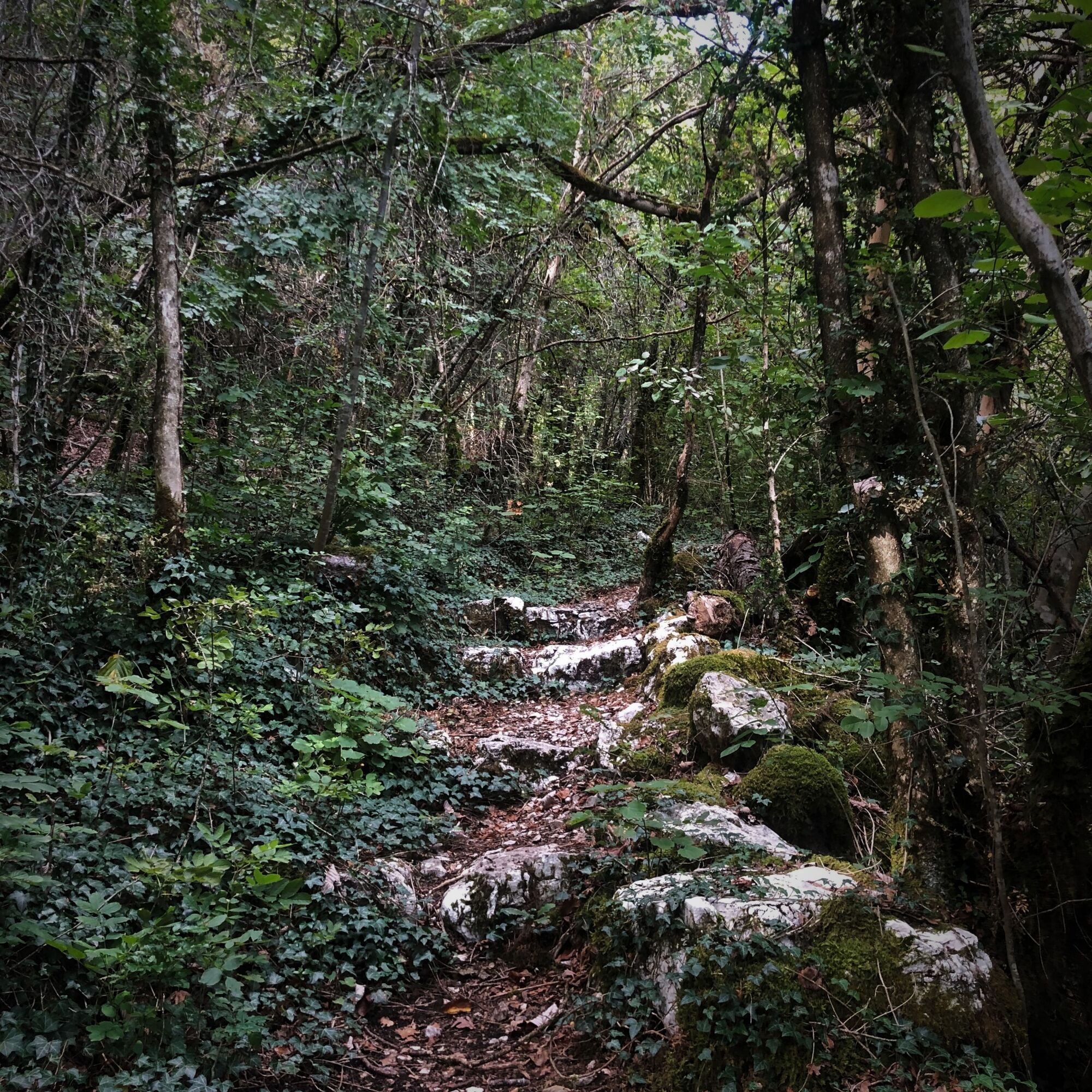
This loop, which departure is located a few meters from the Castle of Montveran, the old aqueduct and the Chapel of Culoz, leads you to follow the various waterfalls of the Magnine on a path up to the Magnine bridge.
Although only 4 km long, this circuit has a significant elevation gain of almost 200 m with parts that can be a little bit steep along the waterfalls. Good footwear is recommended.
Description of the walk:
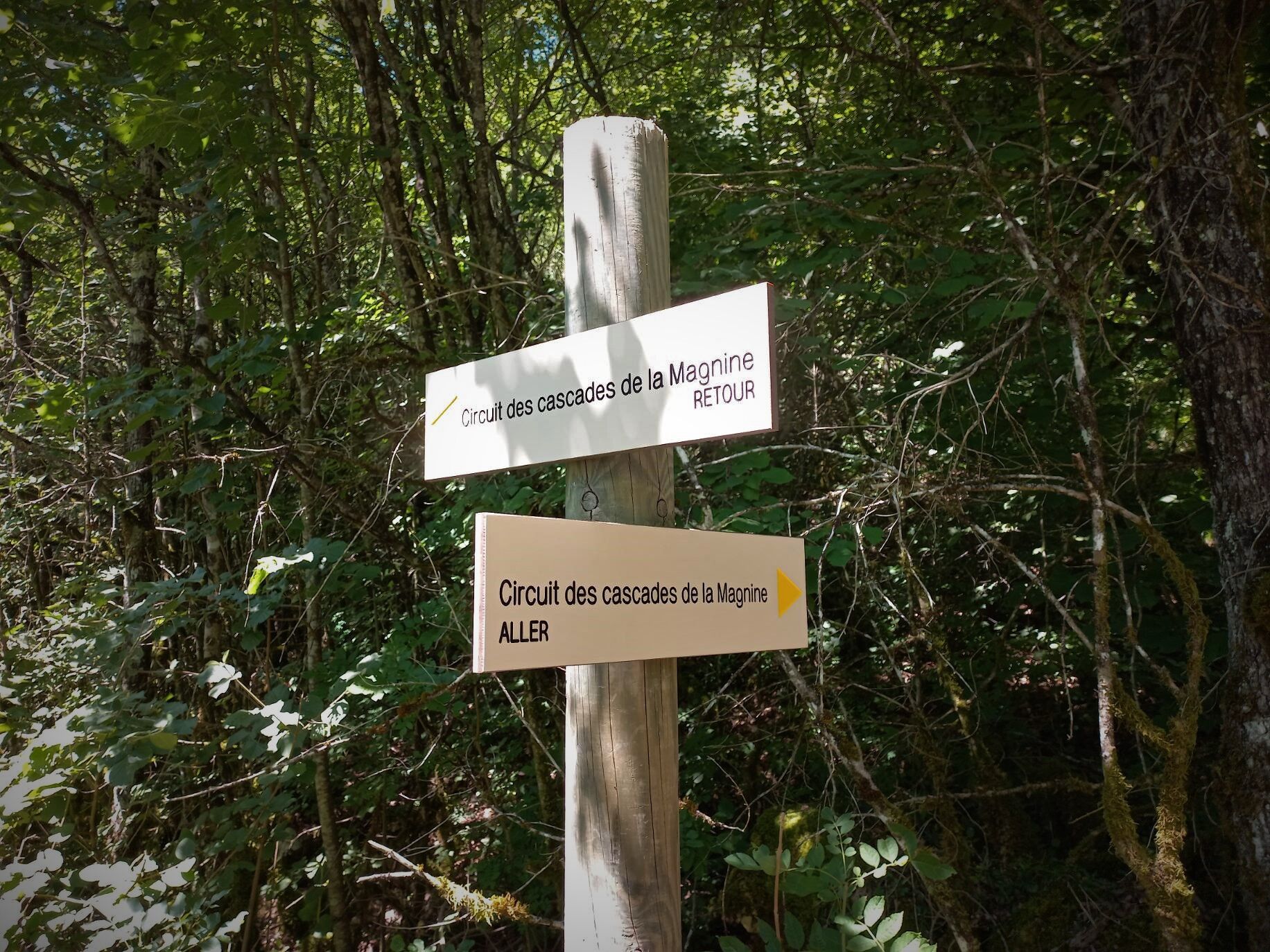
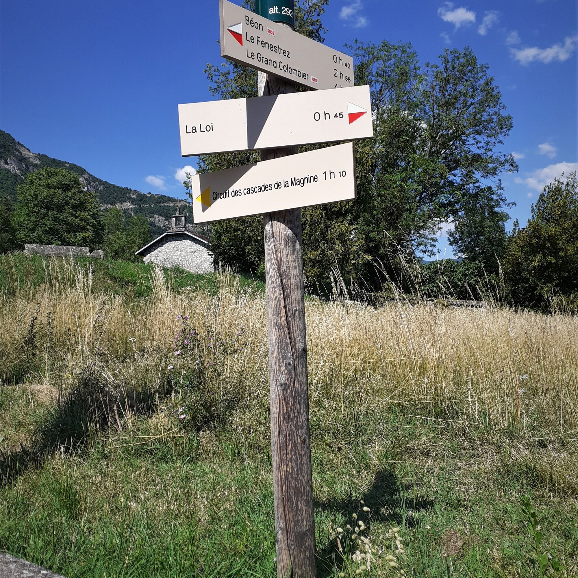
Reach the starting point located at the intersection of Rue Henry Dunant and Rue de Montveran where you will find the first signs mentioning the circuit.
Continue on rue Henry Dunant passing in front of the Clos Poncet, do not follow rue Albert Ferier on the right and continue until rue Henry Dunant becomes a path.
Follow this path which runs alongside the Jourdan without approaching it too closely until the bridge Pont de la Magnine.
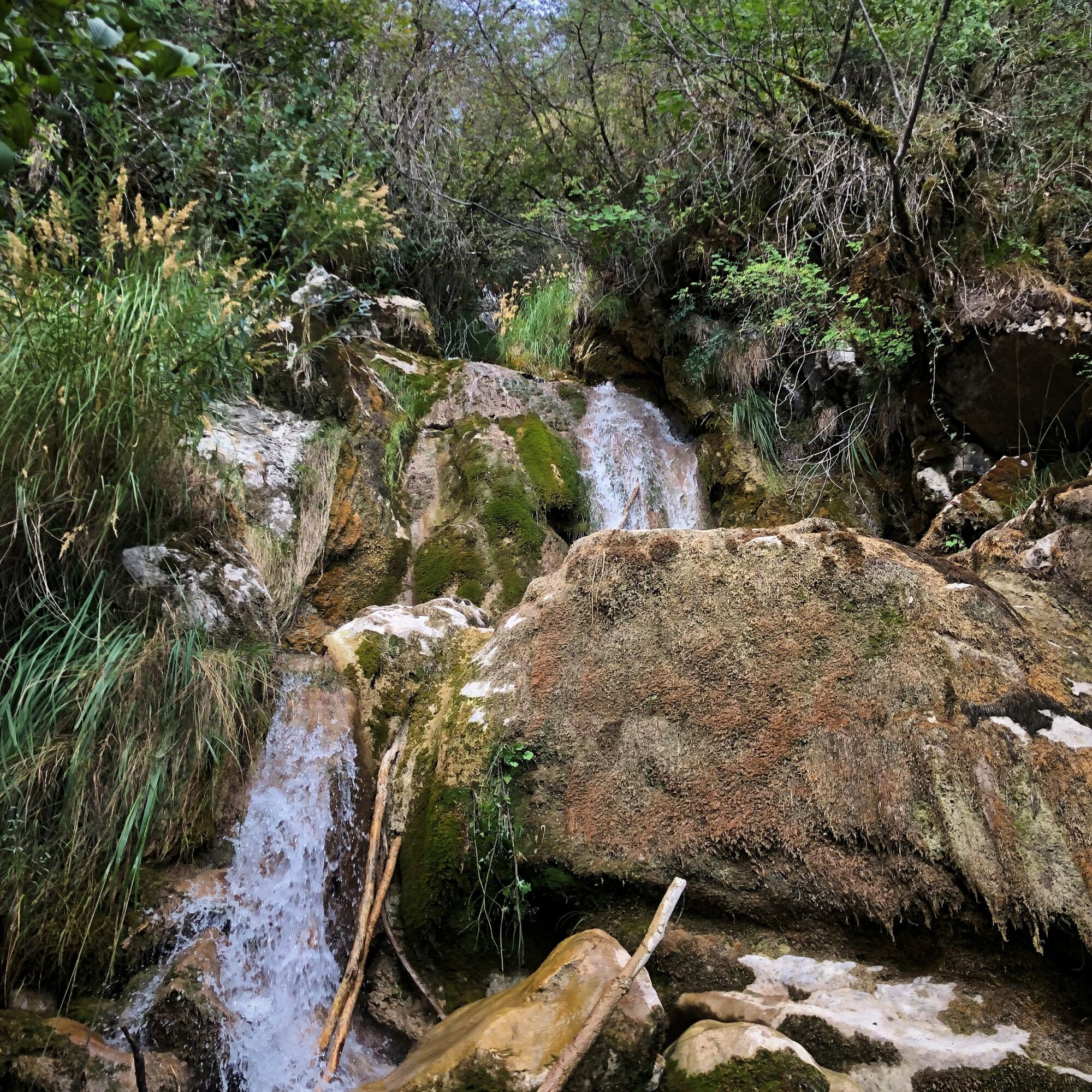
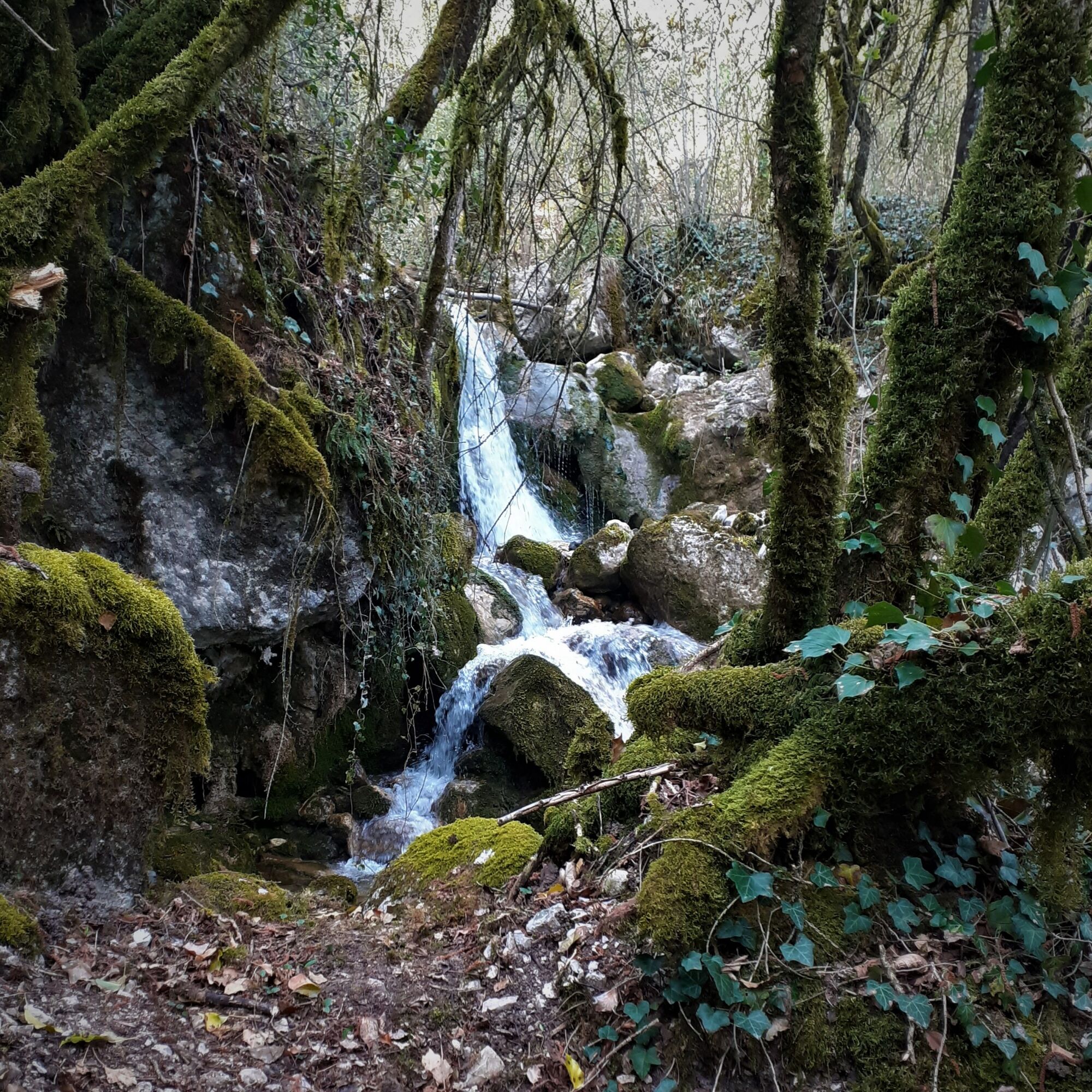
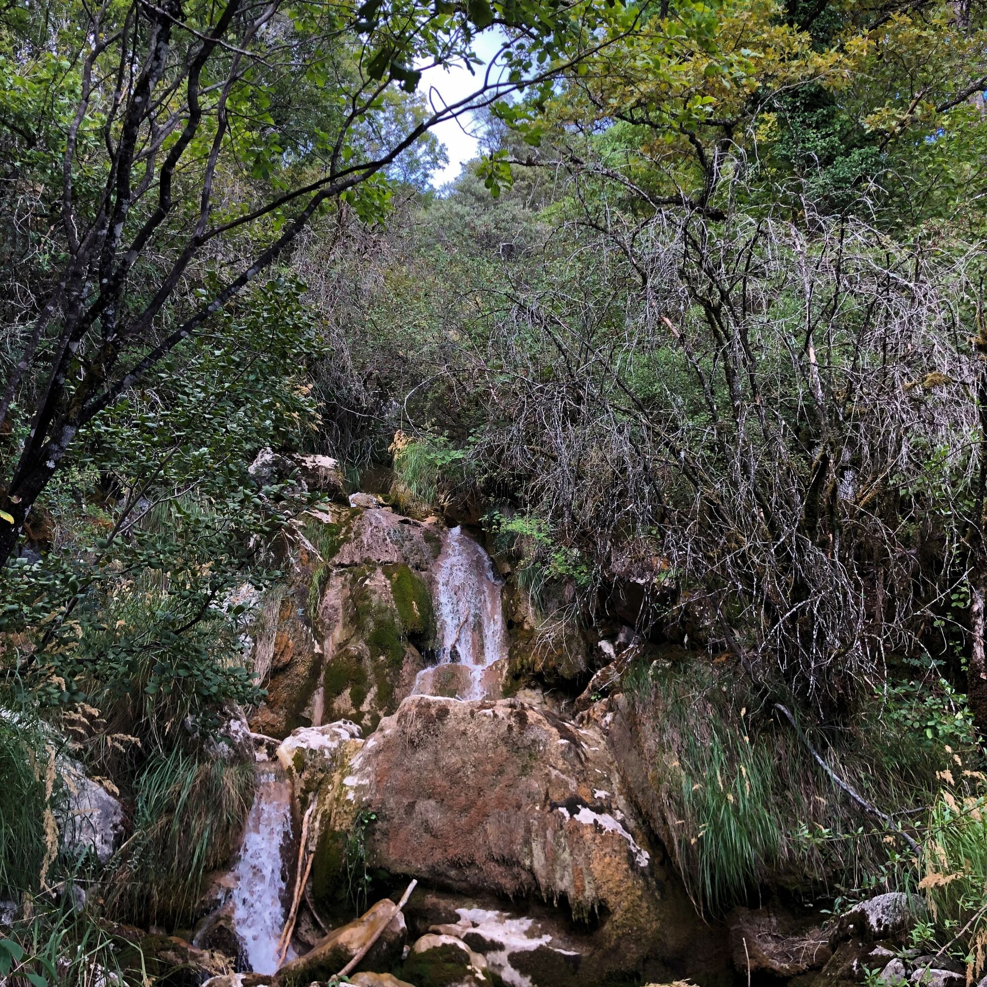
Cross the bridge Pont de la Magnine and climb immediately to the right on the path, this fairly steep path runs along a magnificent succession of small waterfalls up to the brudge Pont de la Source.
At the bridge Pont de la Source, go down the large path on your right until you reach the road, then go down the road for 250 meters.
Turn right following the GR 9 / on a narrow path to the Pont de la Magnine. Continue straight downhill.
Continue down Rue Arsène Dumont and Rue de Chantemerle to the crossroads above the Castle Chateau de Montveran and the Culoz aqueduct. Turn left and go down rue de Montveran to the starting point.
Although only 4 km long, this circuit has a significant elevation gain of almost 200 m with parts that can be a little bit steep along the waterfalls. Good footwear is recommended.
Description of the walk:
Reach the starting point located at the intersection of Rue Henry Dunant and Rue de Montveran where you will find the first signs mentioning the circuit.
Continue on rue Henry Dunant passing in front of the Clos Poncet, do not follow rue Albert Ferier on the right and continue until rue Henry Dunant becomes a path.
Follow this path which runs alongside the Jourdan without approaching it too closely until the bridge Pont de la Magnine.
Cross the bridge Pont de la Magnine and climb immediately to the right on the path, this fairly steep path runs along a magnificent succession of small waterfalls up to the brudge Pont de la Source.
At the bridge Pont de la Source, go down the large path on your right until you reach the road, then go down the road for 250 meters.
Turn right following the GR 9 / on a narrow path to the Pont de la Magnine. Continue straight downhill.
Continue down Rue Arsène Dumont and Rue de Chantemerle to the crossroads above the Castle Chateau de Montveran and the Culoz aqueduct. Turn left and go down rue de Montveran to the starting point.
Pot
Église Saint-Martin
(262 m)
Kraj čaščenja
0,3 km
Gîte d'étape Le Cabiolon
(313 m)
Zavetišče
0,8 km
La Magnine
(371 m)
Koridor/teren
3,1 km
Pot
Hiking loop of the Magnine falls
srednja
Pohodništvo
4,38
km
Au Campagnard Autrement
(250 m)
Restavracija
0,1 km
Culoz
(247 m)
Vas
0,2 km
Église Saint-Martin
(262 m)
Kraj čaščenja
0,3 km
Taccons d'En Haut
(265 m)
Soseska
0,3 km
La Croix Rousse
(283 m)
Soseska
0,5 km
Gîte d'étape Le Cabiolon
(313 m)
Zavetišče
0,8 km
La Magnine
(371 m)
Koridor/teren
3,1 km
Au Campagnard Autrement
(250 m)
Restavracija
4,2 km
Avtor
Zagotavlja Bugey Sud Grand Colombier Tourisme
Za ogled Hiking loop of the Magnine falls poskrbi outdooractive.com.


Informacije o poti
Geološki poudarki
Da
Oprema
It is essential to be equipped with good shoes.
Varnostna navodila
Although there are no dangerous parts, the ascent along the waterfalls is steep with the need to pass a few large steps.
Informacije o prihodu
Javni prevoz
This route is accessible from the Culoz station located on the Lyon - Geneva railway line.
Parkirišče
Free parking at the Maison du Vélo or opposite on the stadium parking lot.
Dodatne informacije in nasveti
Stopnja težavnosti
T2
Nasveti
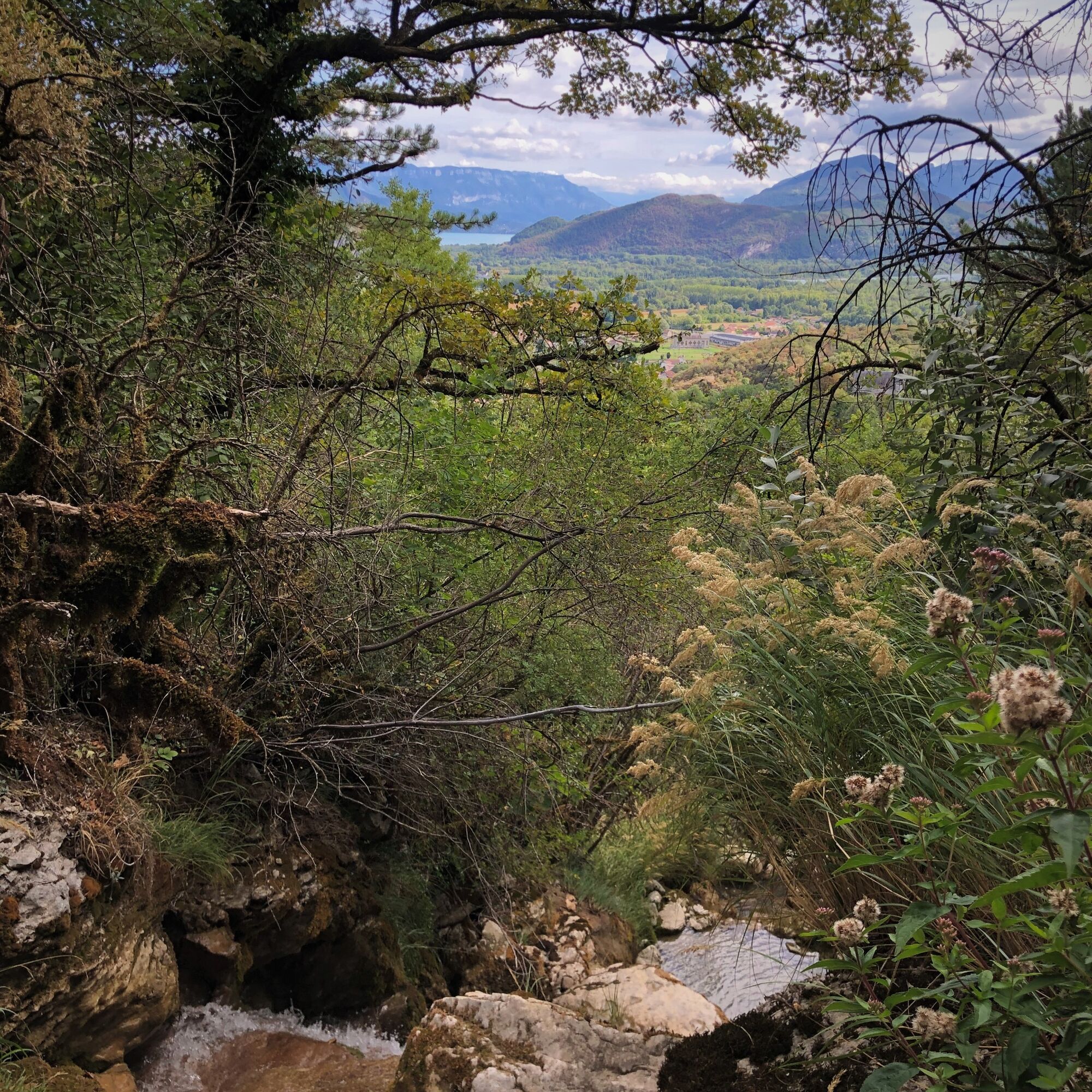
Very pleasant small loop through the historic district of Culoz and the nature at the foot of the Grand Colombier.
Be careful, it climbs!
Be careful, it climbs!
Good tip: enjoy the clear waters of the Culoz pond after the outing to relax. (Drinks and catering on site).
Še ni pregledov
Priljubljeni izleti v okolici
- 3,0
Hike: on the ridge of the Grand Colombier (circuit des crêtes)
srednjaPohodništvo 11,3 km - 4,0
Hike: Golet au loup
svetlobaPohodništvo 7,11 km - 1,0
Hike of the Clairefontaine waterfall
svetlobaPohodništvo 5,46 km Hike: Gorges de Thurignin
težkoPohodništvo 14,2 kmHike starting from Parves-et-Nattages: le circuit du Sorbier
svetlobaPohodništvo 11,4 kmCycling tour : Marshes and vineyards in Bugey
svetlobaCestno kolo 33,1 kmHike: A wolf life.
svetlobaPohodništvo 7,22 kmHike of the Grand Colombier starting from Munet
težkoPohodništvo 16,0 kmHike : Lake and vineyards
svetlobaPohodništvo 9,76 kmHike: mountain pastures of the Grand Colombier
srednjaPohodništvo 5,23 km
Pohodništvo in sledenje

Zaradi več kot 550.000 predlogov izletov, podrobnih zemljevidov in intuitivnega načrtovanja poti je aplikacija obvezna oprema za vse ljubitelje narave.

Ne zamudite ponudb in navdiha za naslednje počitnice
Naročite se na novice
Napaka
Zgodila se je napaka. Prosimo, poskusite znova.Zahvaljujemo se vam za prijavo
Vaš e-poštni naslov je bil dodan na poštni seznam.
Izleti po vsej Evropi
Avstrija Švica Nemčija Italija Slovenija Francija Nizozemska Belgija Poljska Lihtenštajn Češka Slovaška Španija Chorvátsko Bosna in Hercegovina Luksemburg Andora පෘතුගාලය අයිස්ලන්තය එක්සත් රාජධානිය අයර්ලන්තය ග්රීසිය ඇල්බේනියාව North Macedonia Malta Norway Montenegro Moldova කොසෝවො හන්ගේරියානු සමුහාණ්ඩුව San Marino රුමේනියාව එස්ටෝනියා ලැට්වියාව බෙලාරස් සයිප්රස් Lithuania Serbia බල්ගේරියාව Monaco ඩෙන්මාර්කය Sweden ෆින්ලන්තය





