






Walking itinerary : La Chapelle de Jacquicourt

Stopnja težavnosti: T2
A great way to discover the Plateau de Loëx (pronounced "Loi") and its peat bogs which benefit from biotope protection, just like a nature reserve.
An educational hike both in terms of fauna and flora (a...
An educational hike both in terms of fauna and flora (a protected nature with the famous "La Drosera" as well as a rare fauna with the last "Black Grouse") and culturally with at the end of the hike, the discovery of the Jacquicourt Chapel!
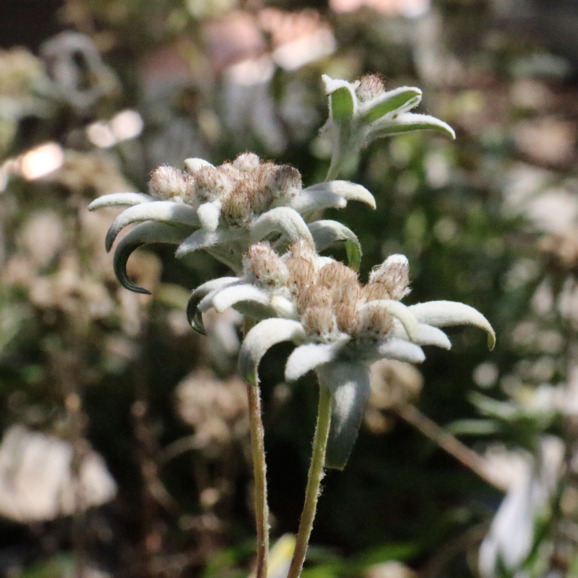
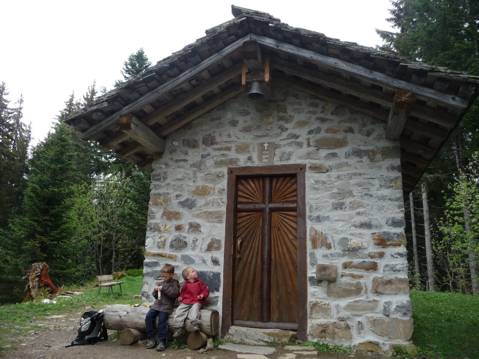

Recommendation: site class biotope, same recommendations that in the natural reserves A wonderful way to discover the Plateau of Loex (pronounced "Law") and its peatlands which enjoy protection biotope, in the same way as a natural reserve.
Da
T2
Start: either from the Chef Lieu or from the hamlet "La Chaumette" (recommended start), parking available.
Ascent time: 2h30
Descent time: 1h45
Elevation gain: 822m
Difficulty: medium
Spletne kamere s turneje

Priljubljeni izleti v okolici
-
5.0
Morgins - Col des Portes du Soleil
svetlobaSmučarska tura 15.2 km -
4.0
Hiking trail: Refuge de Grenairon
težkoPohodništvo 12.6 km -
4.3
Goldtoni - Alpenbogen A059 Refuge de Chardonniere-Refuge Anterne
srednjaPohodništvo v daljavo 33.8 km -
5.0
From Croix de Culet via the Col de Cou to Champéry
srednjaPohodništvo 17.5 km -
4.0
Walking itinerary : Les chalets du Boret et le Bout du Monde
srednjaPohodništvo 9.20 km -
Snowshoe itinerary: La Bourgeoise from the chalet at Joux Plane
svetlobaSnežni čevlji 4.49 km -
Aiguille du Criou
težkoPohodništvo 16.7 km -
Rando'bus Morillon 1100 Les Esserts - Morillon village via Pointe de Cupoire
težkoPohodništvo 19.7 km -
Walking itinerary: Pointe d'Orchez
srednjaPohodništvo 4.52 km -
Road from Châtillon-sur-Cluses to Cluses
svetlobaPohodništvo 4.96 km
Pohodništvo in sledenje


Ne zamudite ponudb in navdiha za naslednje počitnice
Vaš e-poštni naslov je bil dodan na poštni seznam.





