


Machilly - Signal des Voirons
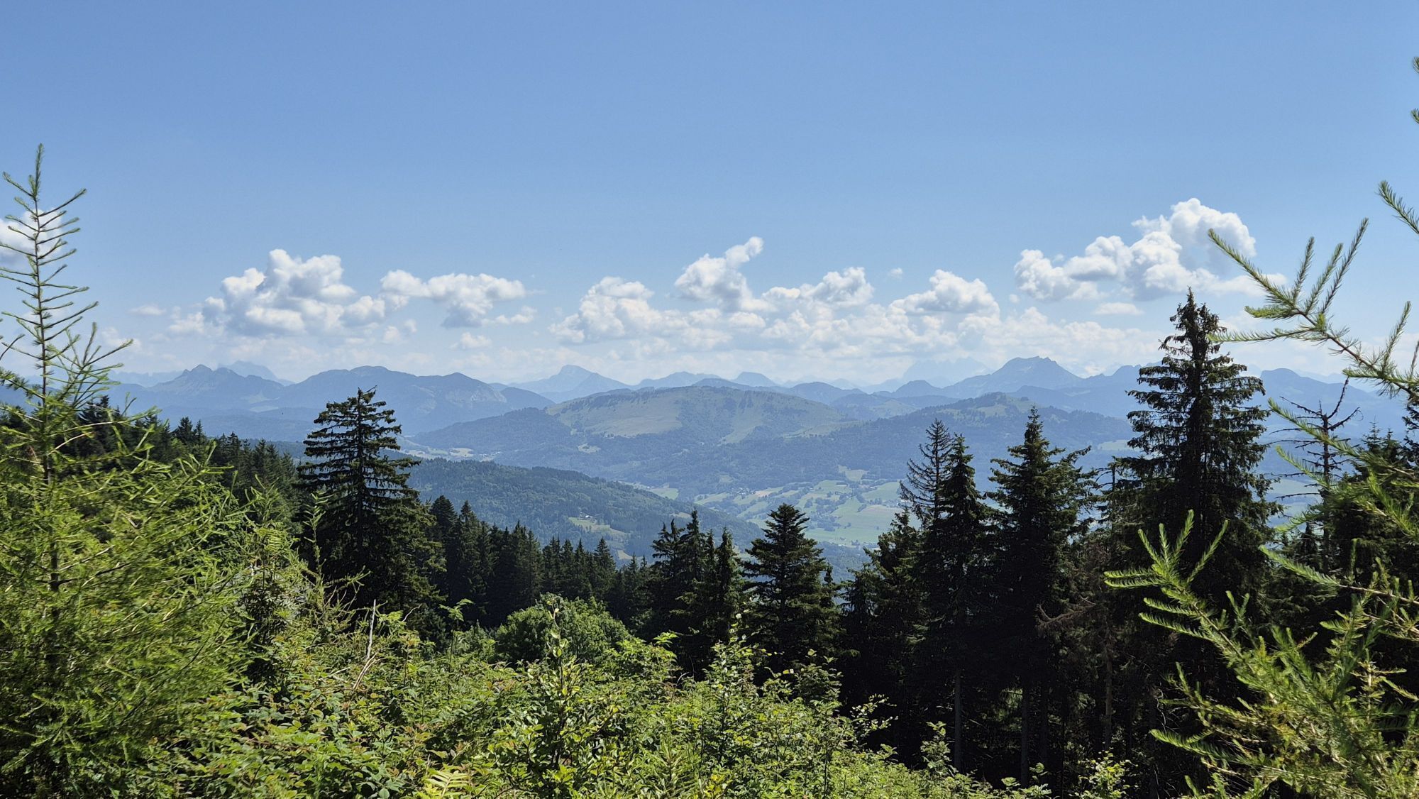
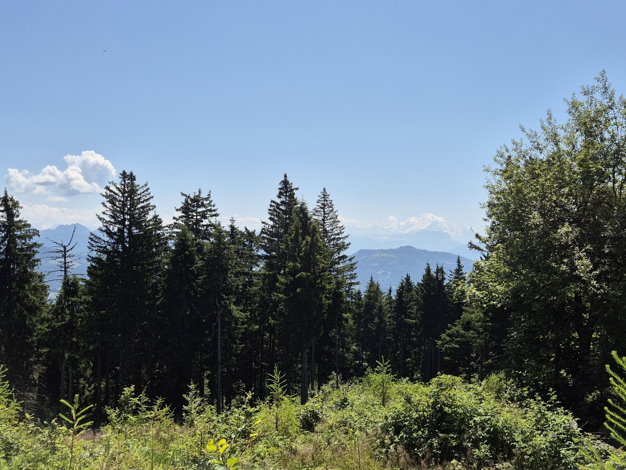
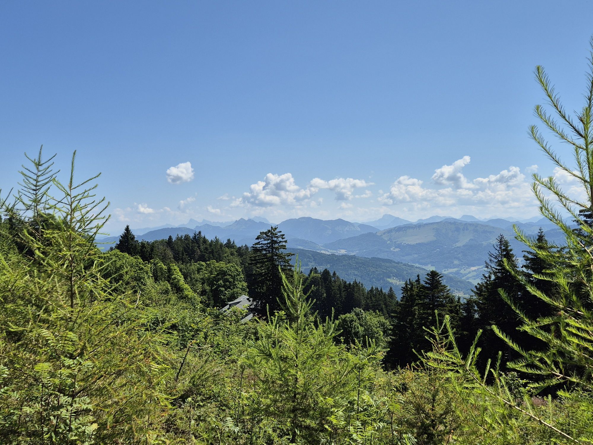
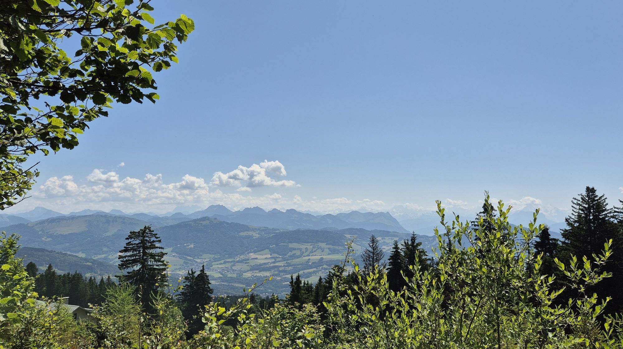
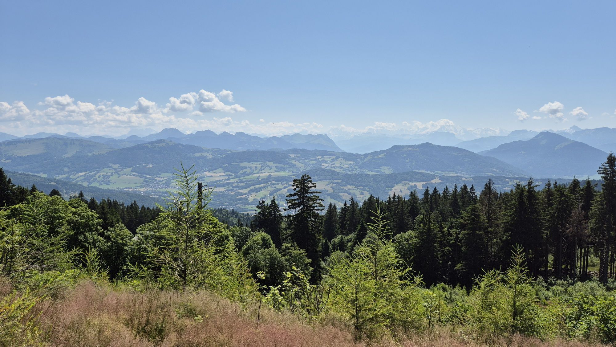
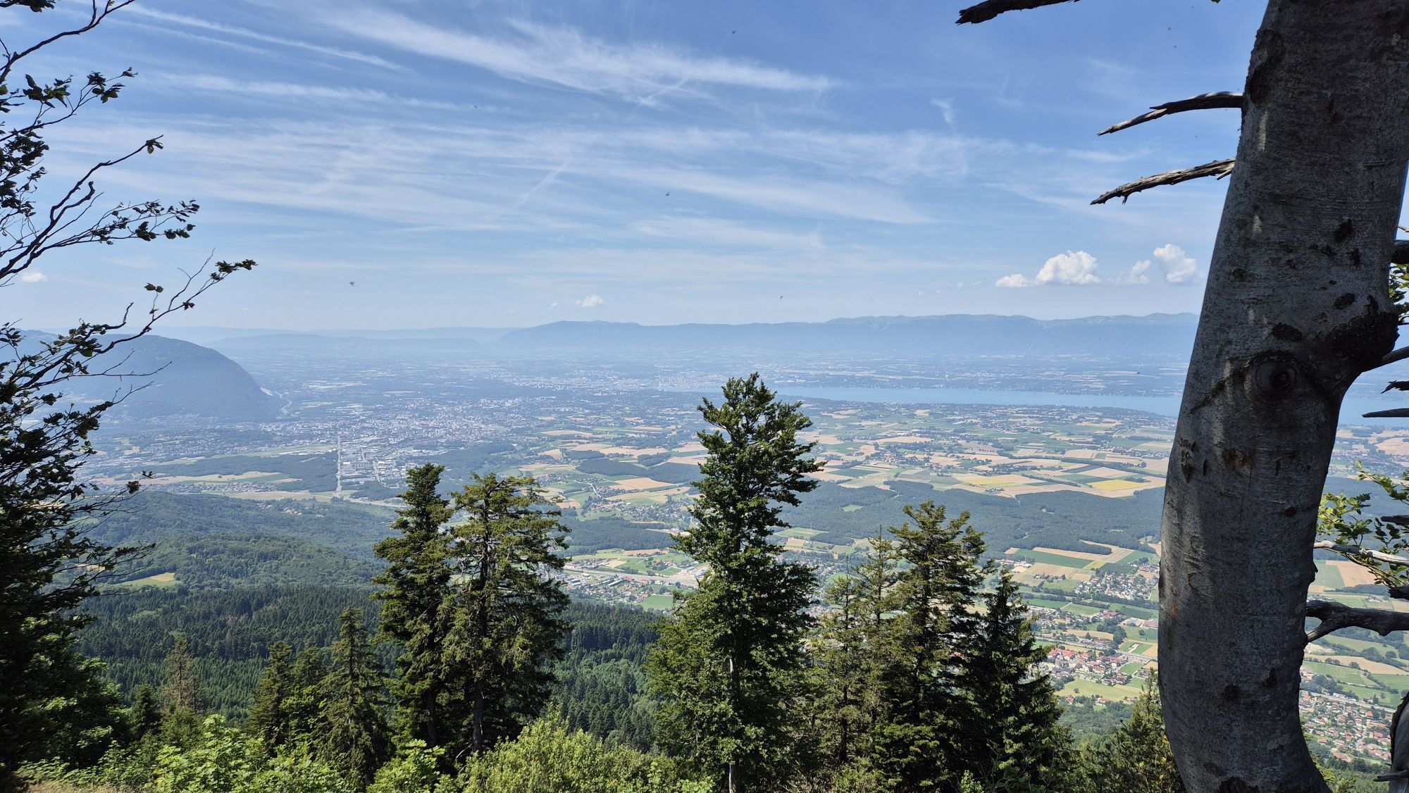
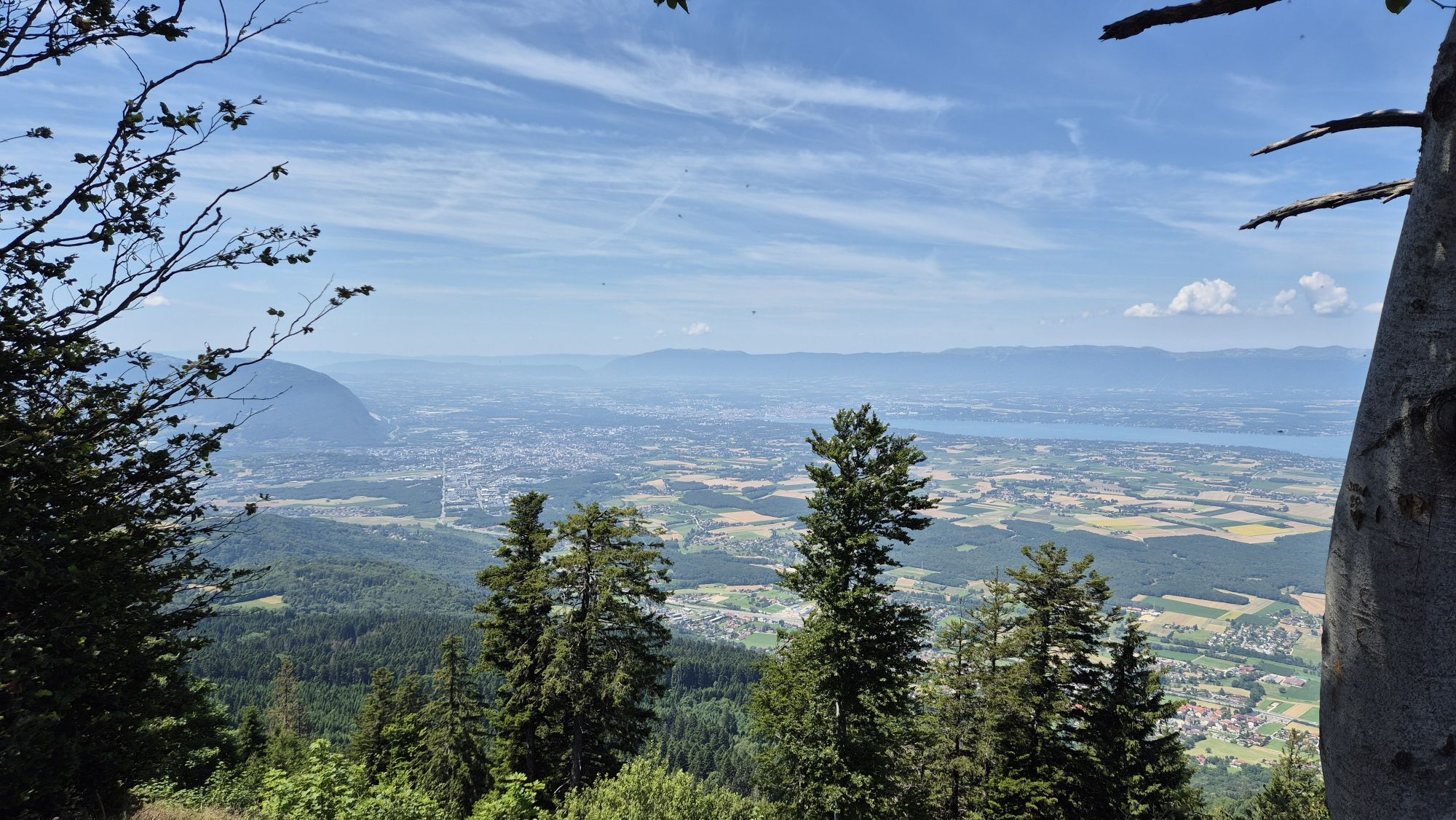
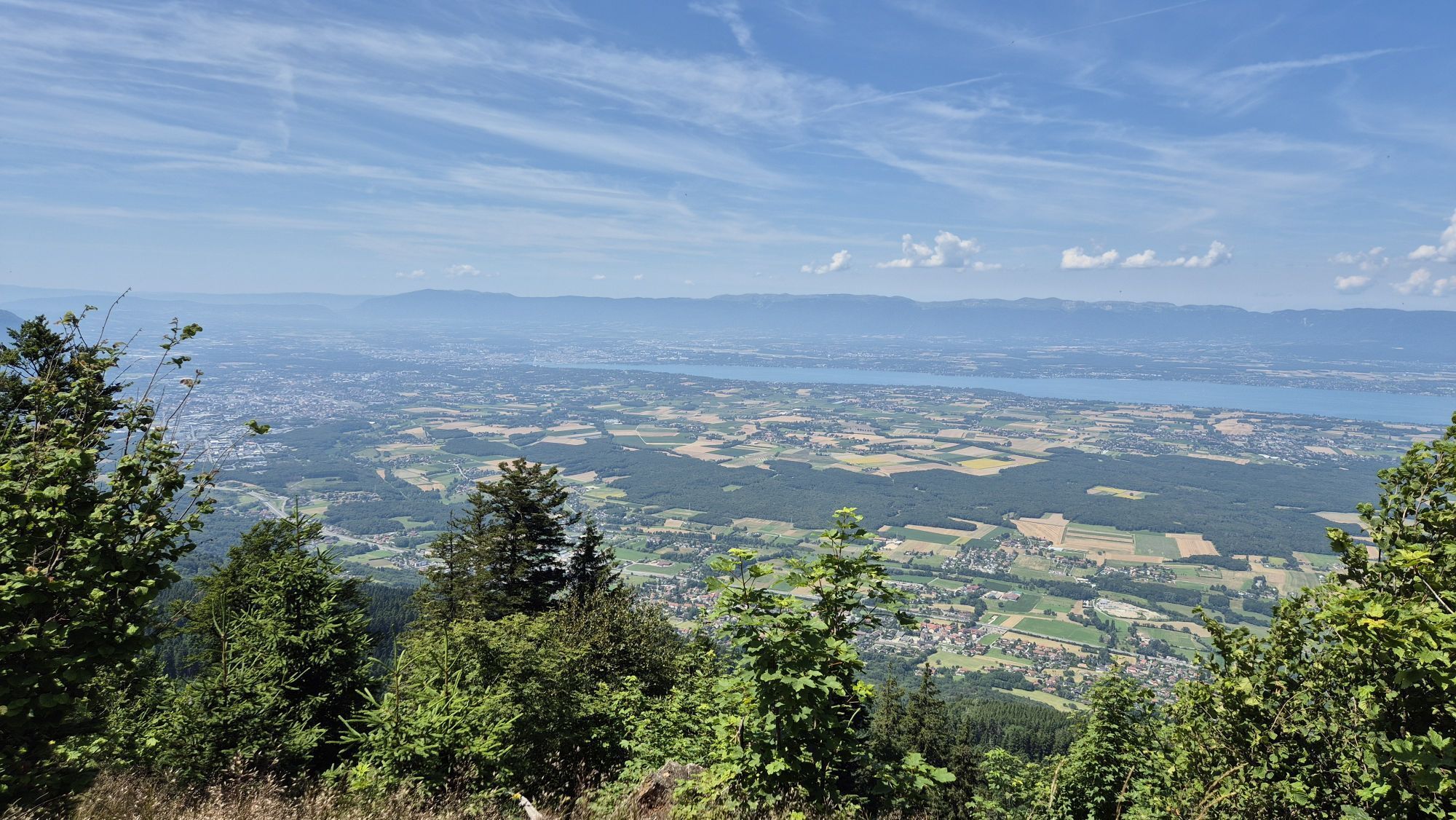
Start from the train station in Machilly, and a comfortable hike all the way to the crest mostly in the shade (but the undergrowth is infested with mosquitoes - bring repellent). Few nice picnic spots...
Start from the train station in Machilly, and a comfortable hike all the way to the crest mostly in the shade (but the undergrowth is infested with mosquitoes - bring repellent). Few nice picnic spots on the crest (can also make a fire) with view on the Leman and Mt. Blanc. Do not miss the old Notre Dame chapel with its black Madonna. On the way back, chill your feet in the fountain on the War Heroes Memorial Place in Machilly 5 min from the station. Be mindful of train schedules - runs every hour 10min before the hour, with a big gap between 16h50 and 20h.


Priljubljeni izleti v okolici
-
Monnetier-Mornex - Le Mont Gosse - Annemasse - Petit Salève
srednjaPohodništvo 8.47 km -
4.0
Les Blanchardes - Annemasse - Chapelle Notre-Dame d'Étrembières - Petit Salève
srednjaPohodništvo 9.21 km -
Les Hivernanches - Le Pralère - Pointe de Brantaz - Signal des Voirons
srednjaPohodništvo 13.7 km -
Veyrier - Pas de l'Echelle - Église Saint-Pierre-aux-Liens - Petit Salève
srednjaPohodništvo 7.59 km -
Boëge - Notre-Dame des Voirons - Signal des Voirons - Manant
srednjaPohodništvo 10.4 km -
Thonon-les-Bains - Signal des Voirons - Pointe de Brantaz - Boëge
srednjaPohodništvo 4.15 km -
Boëge - Notre-Dame des Voirons - Signal des Voirons - Pointe de Brantaz
srednjaPohodništvo 6.81 km -
Le Chemenard - Signal des Voirons - Maison forestière de la Servette - Borringes
srednjaPohodništvo 11.7 km -
Thonon-les-Bains - Signal des Voirons
svetlobaPohodništvo 2.27 km -
Jussy-Eglise - Chez Martine - Église Saint-Maurice - Signal des Voirons
težkoMountainbike 52.2 km
Pohodništvo in sledenje


Ne zamudite ponudb in navdiha za naslednje počitnice
Vaš e-poštni naslov je bil dodan na poštni seznam.