




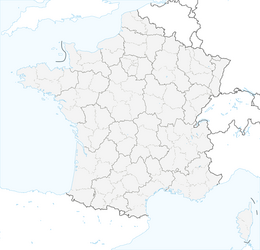


Vertical kilometer : The incline of the Grand Colombier through Roche Percée

Stopnja težavnosti: T2
This climb has a little more than 1000 m of elevation gain in less than 4 km from Béon to the heights. You will follow a dry stream up the hill to pass through the incredible pierced rock, an imposing...
Poles are strongly recommended due to the many steep sections on the way up and down.

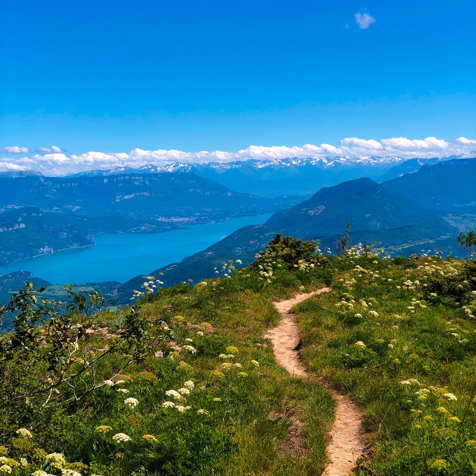
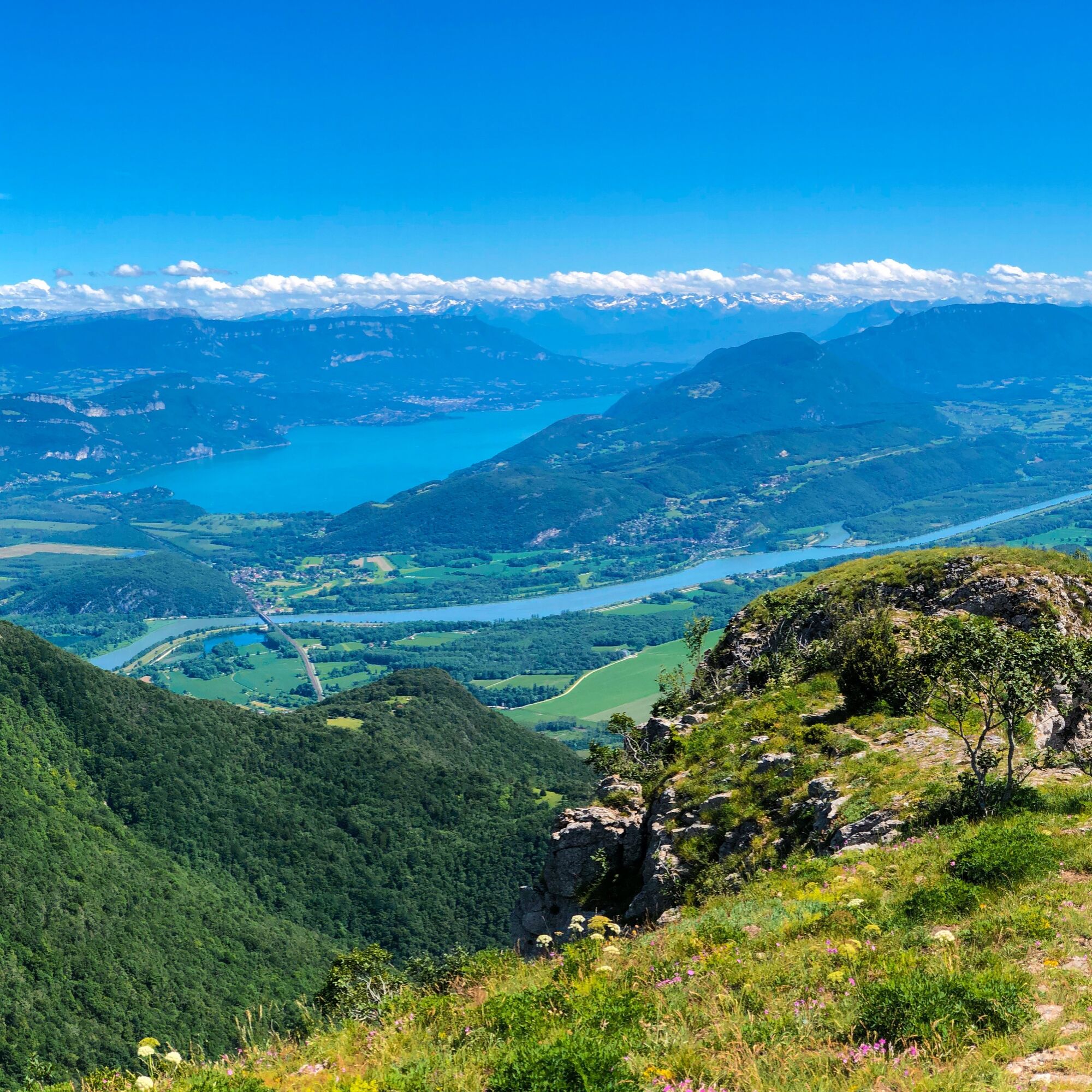
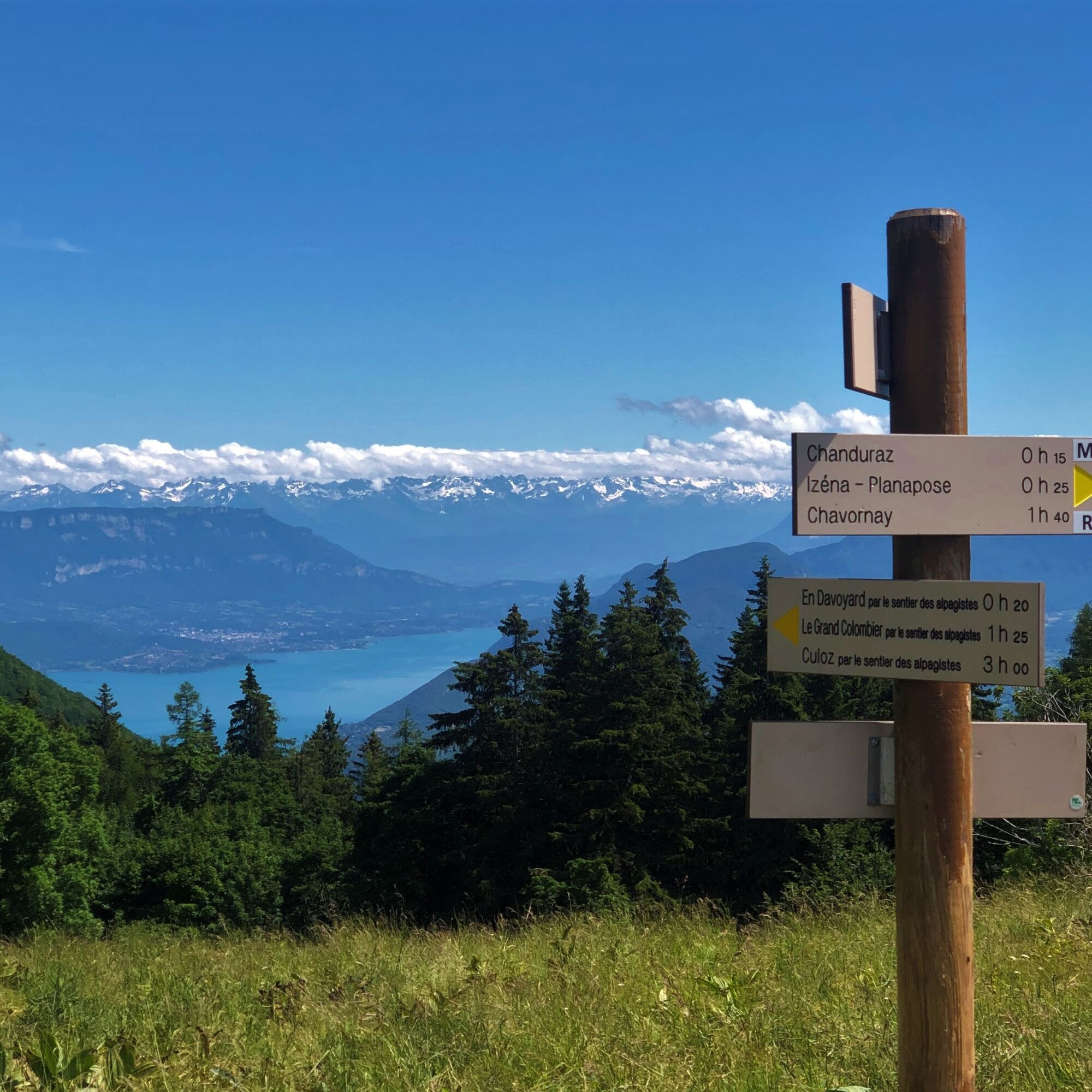
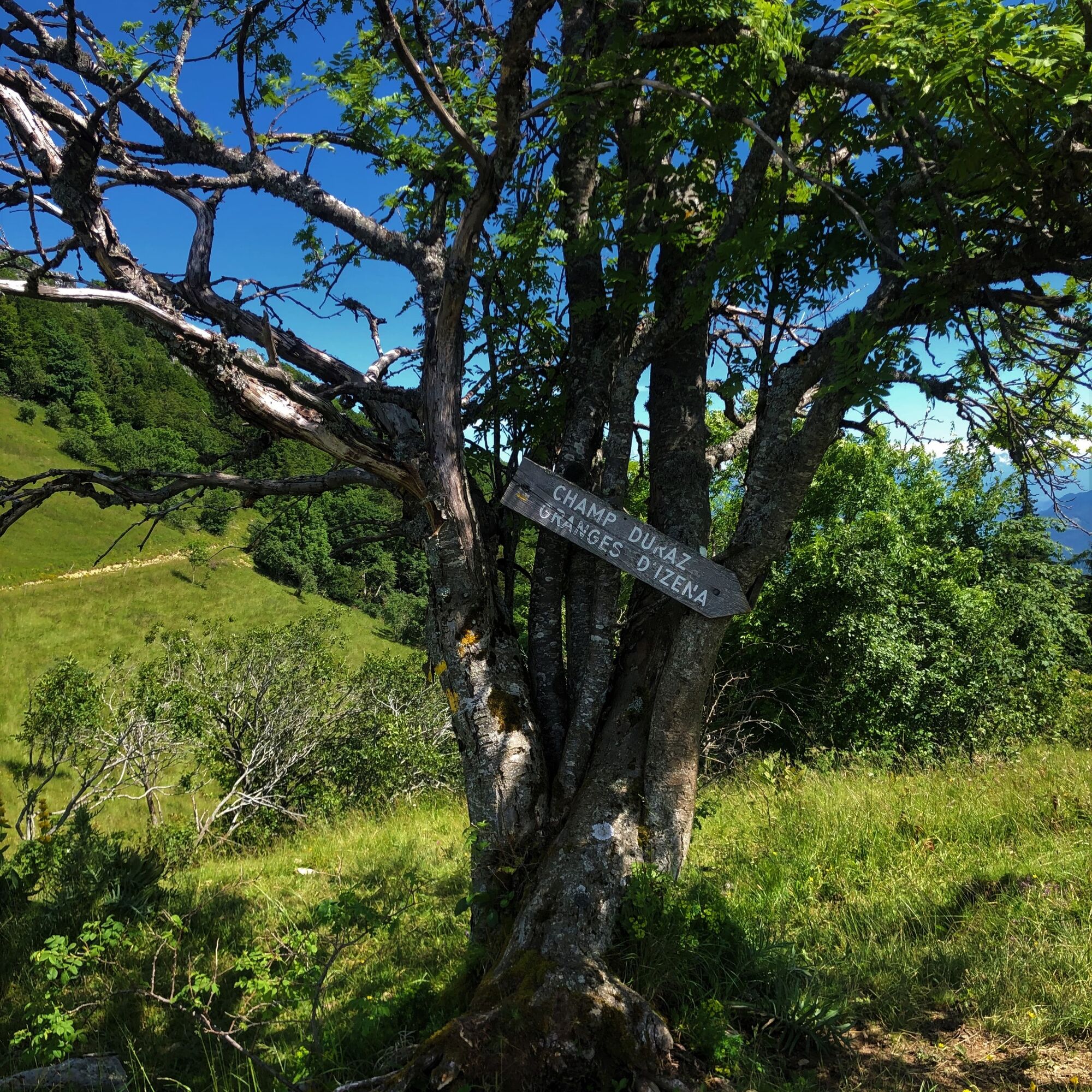
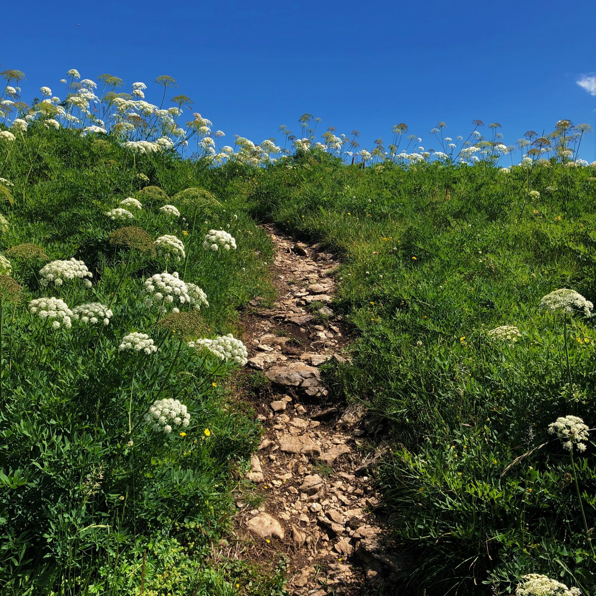
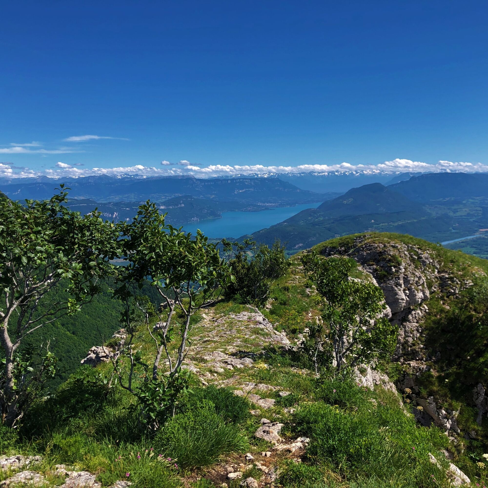
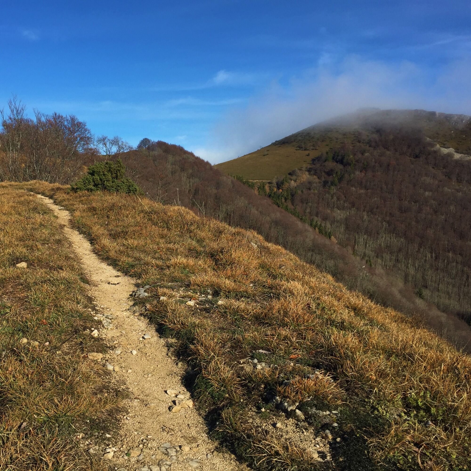
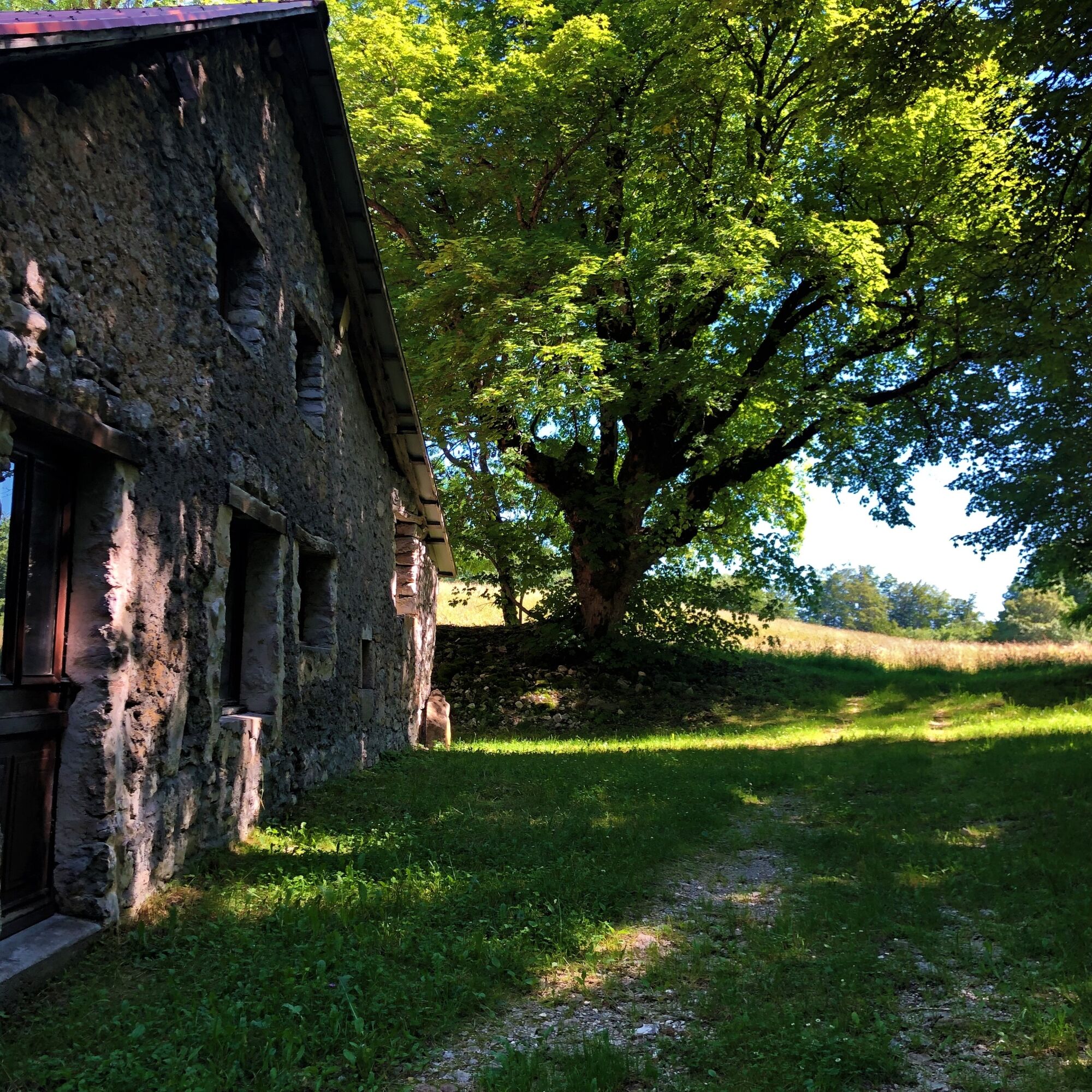
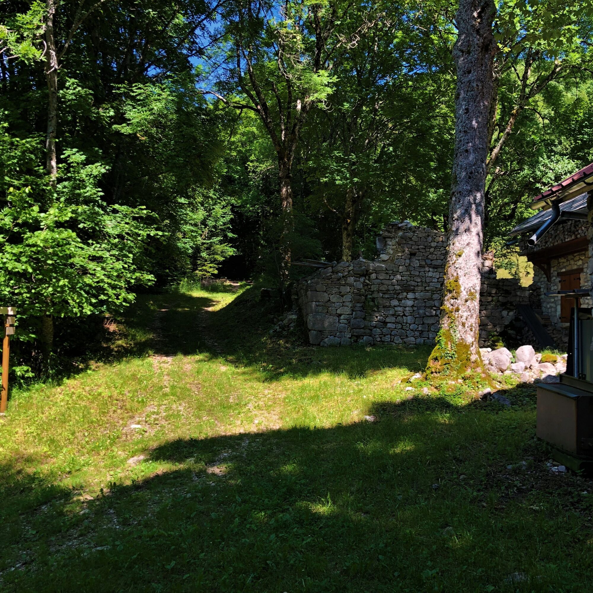
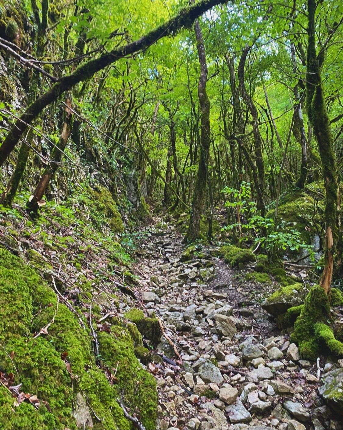
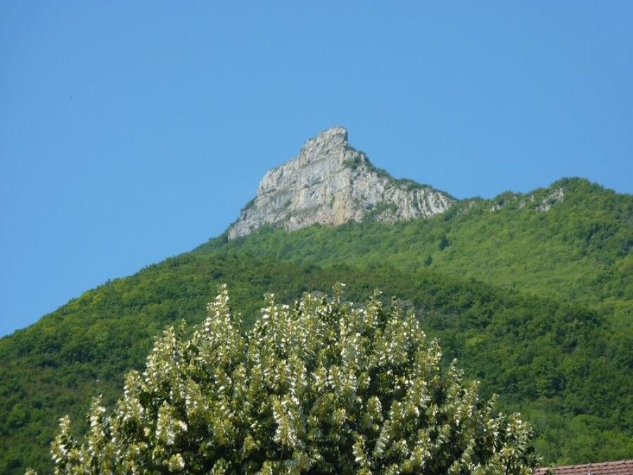
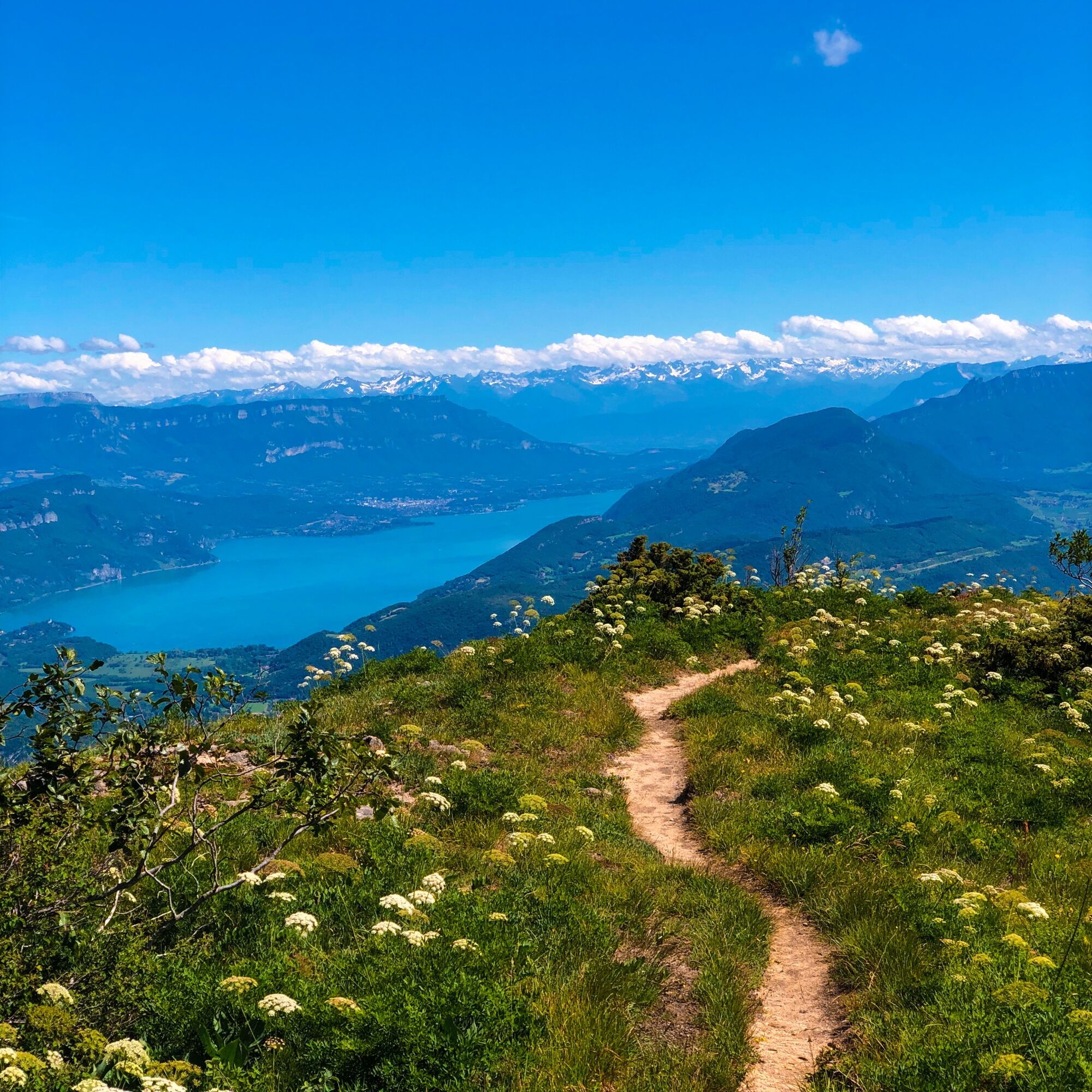
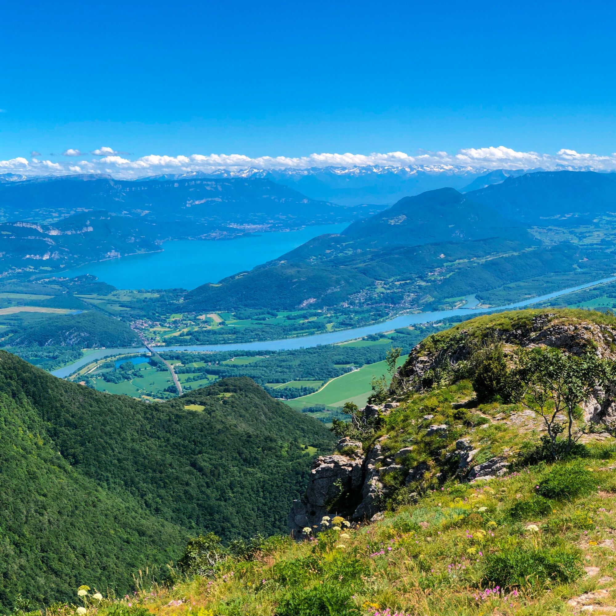
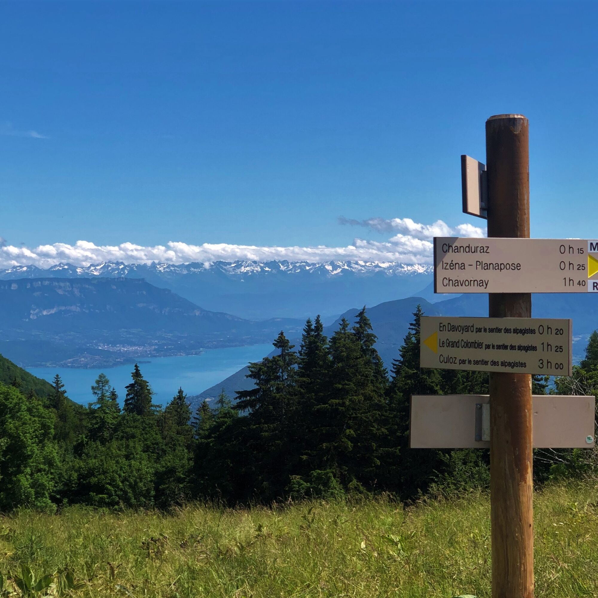
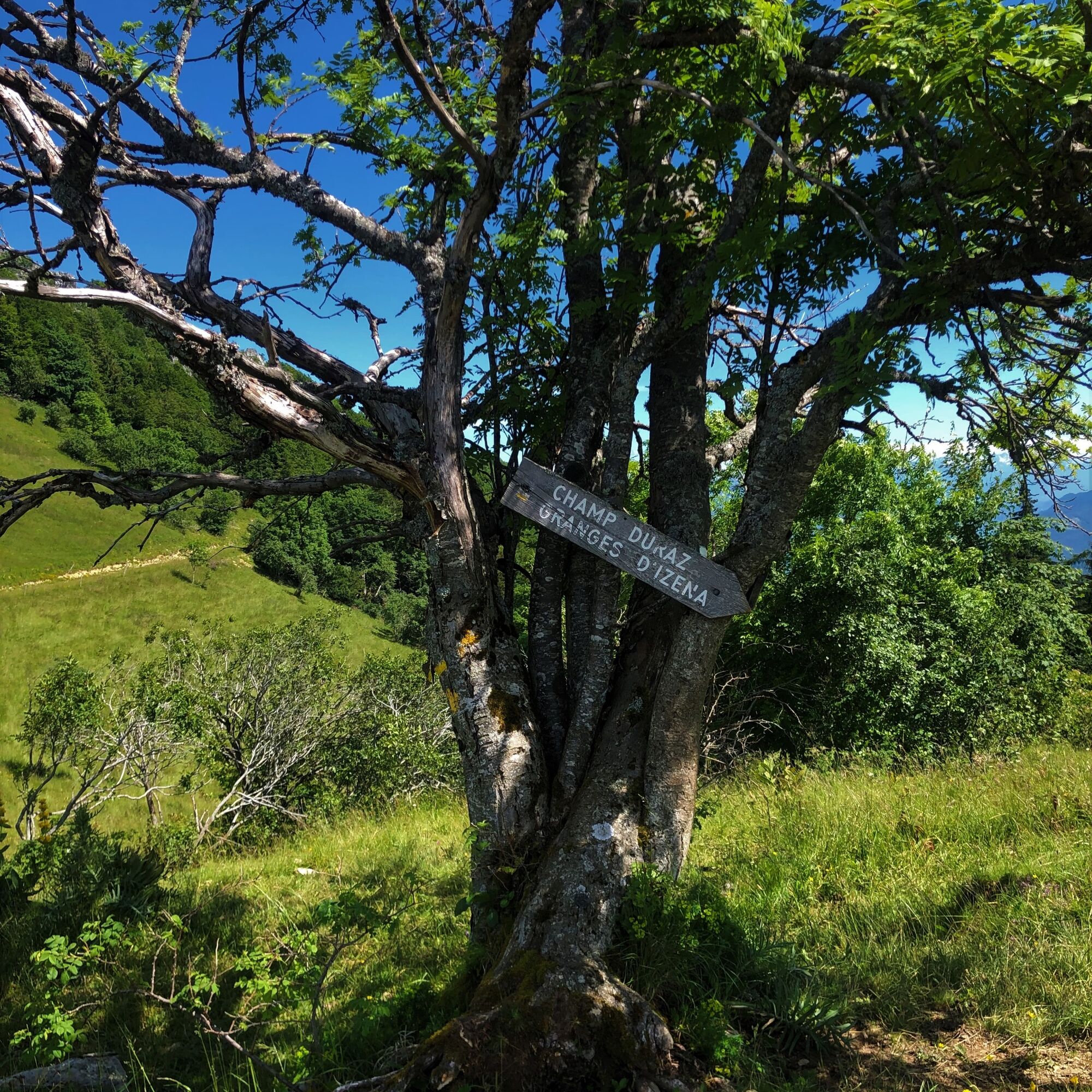
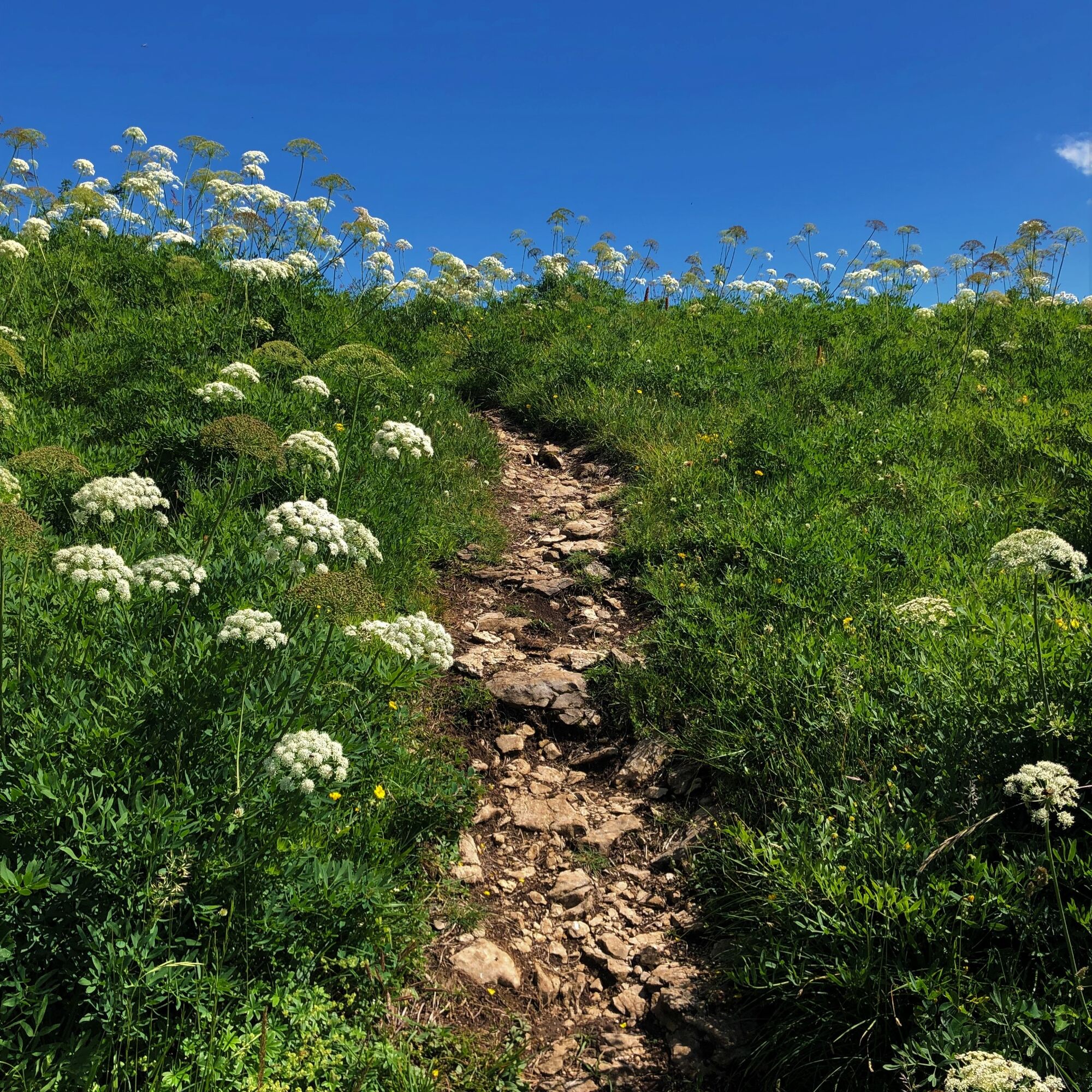
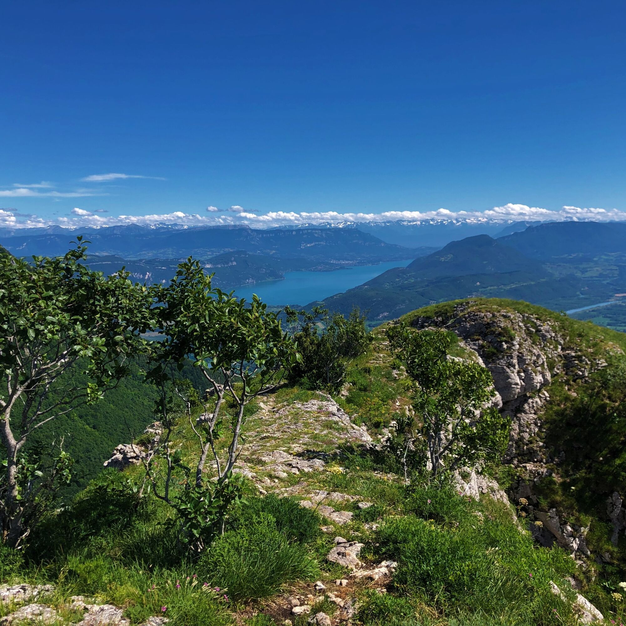
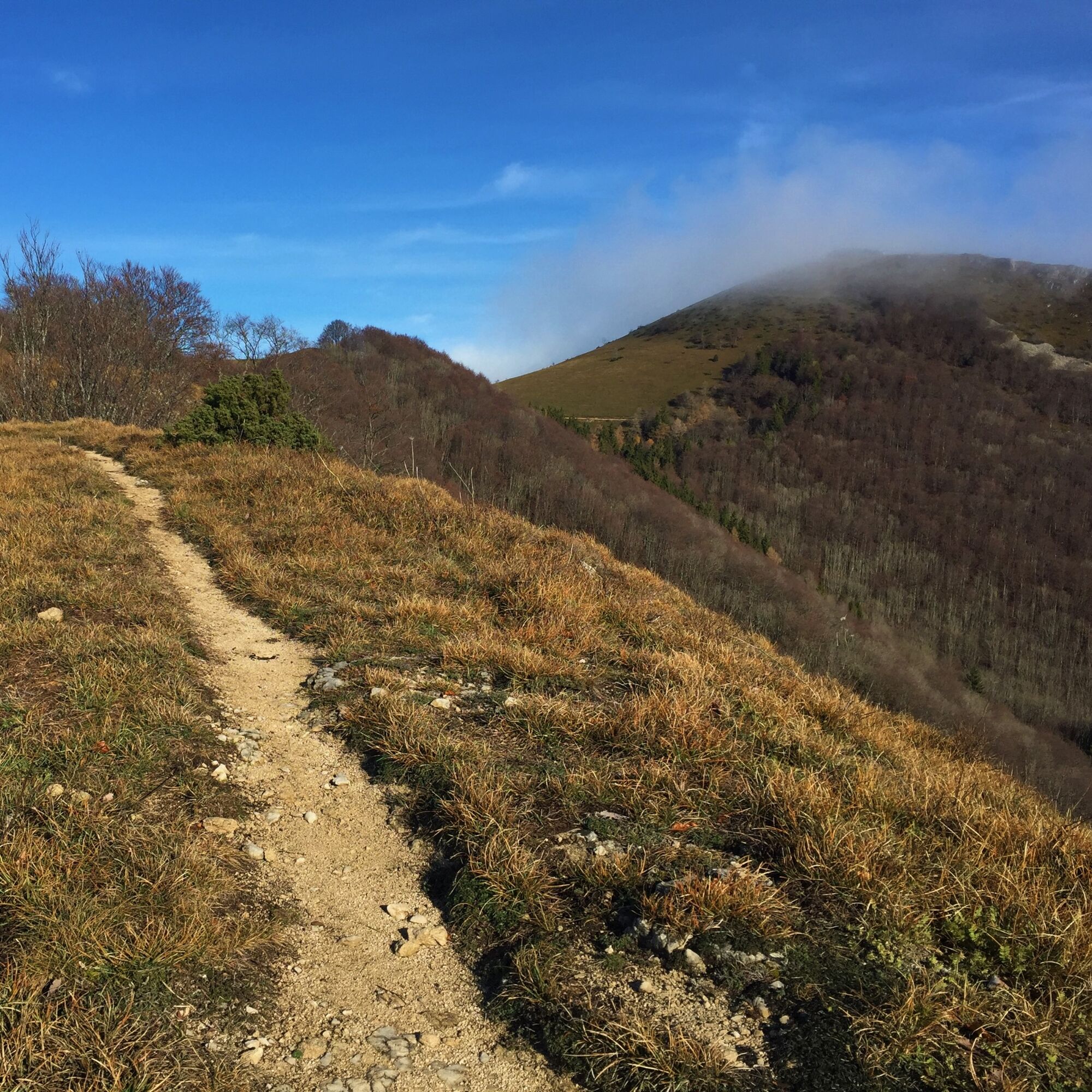
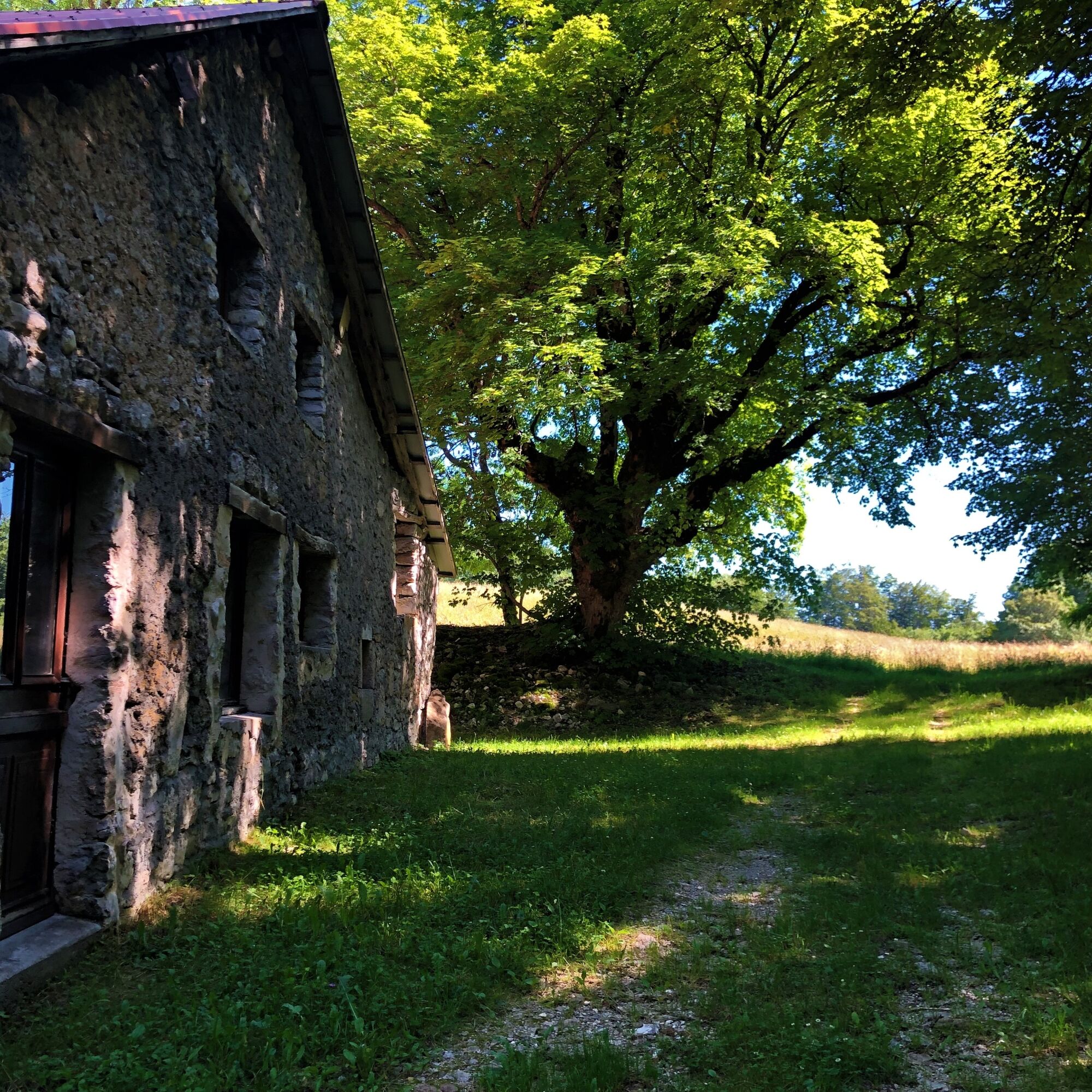
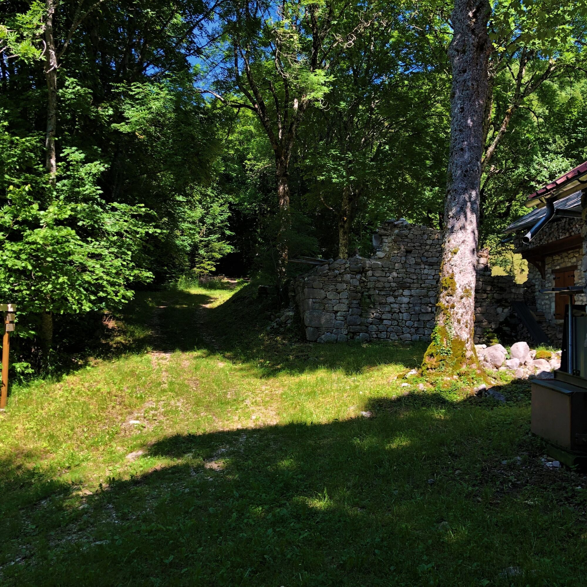
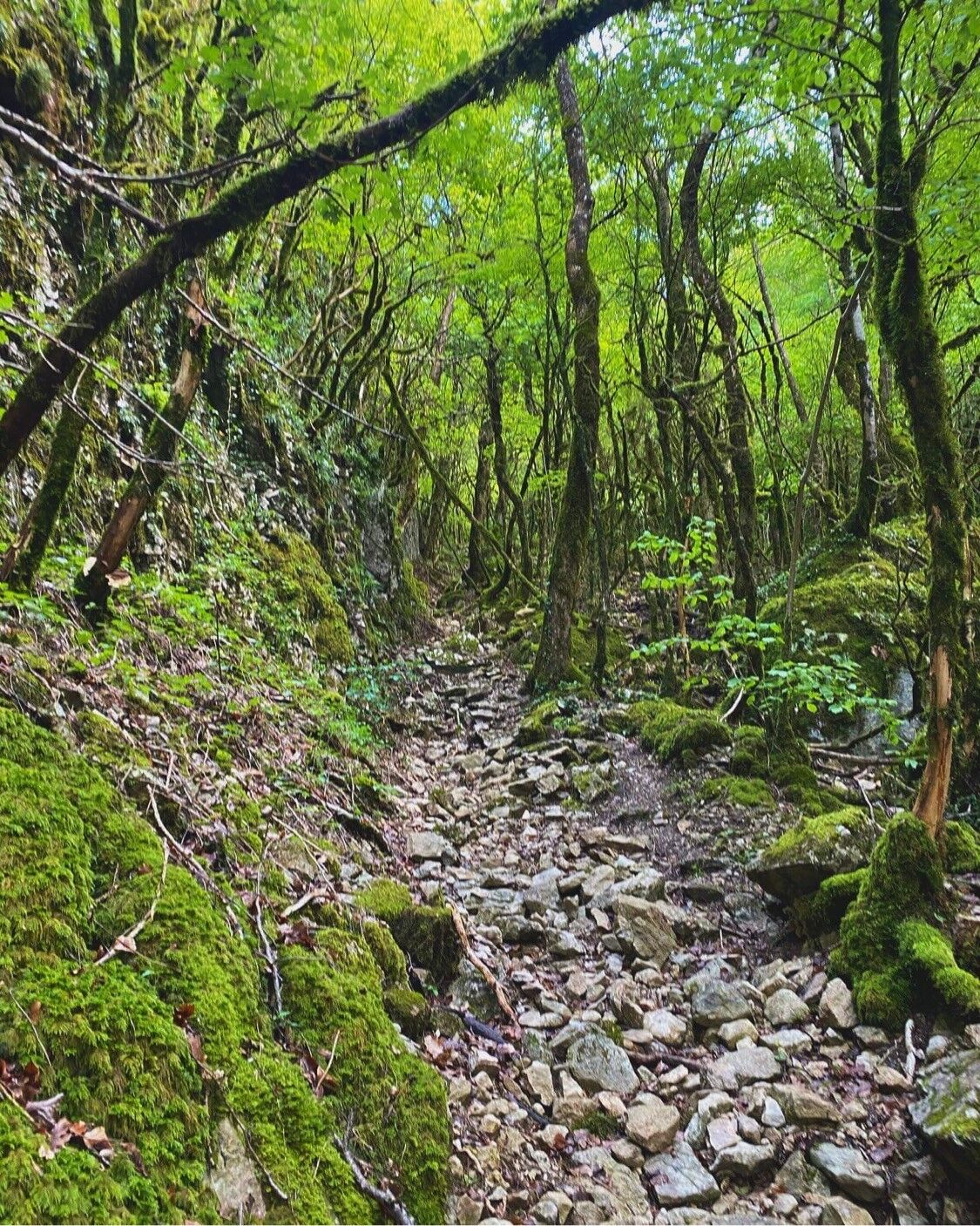
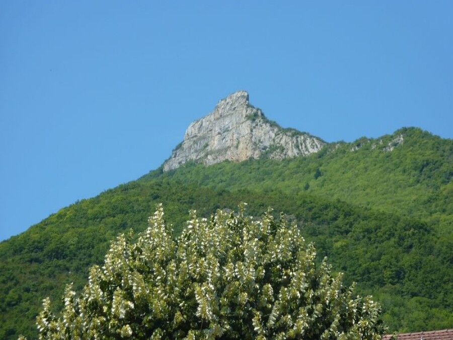
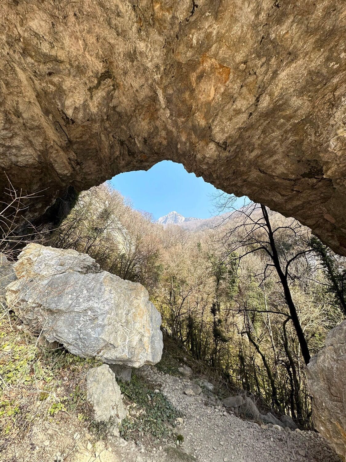

Follow the direction of the Roche Percée and the Roche de Chanduraz.
Da
No special equipment is necessary, poles are strongly recommended.
Access to the end of the Roche de Chanduraz is not possible.
The climb is discouraged during heavy rainfall events.
Defective marking, incidents / safety, usage conflicts, illegal dumping? : locate and share the encountered problem on the national alert system via the SURICATE app or the website https://sentinelles.sportsdenature.fr/
Access to Béon is from Artemare or Culoz via the D904.
The starting point is not accessible by public transport.
The hiking parking is located on chemin de Chanduraz in the village of Béon.
T2
APIDAE Tourism data updated on 03/06/2023 by "Office de Tourisme Bugey Sud Grand Colombier".
An error on this record? Write to the owner mentioning these references:
Record name: Kilomètre Vertical du Grand Colombier: Chanduraz from Béon | Record ID: 5848893 | URL (link) of this Outdooractive page.
This particularly steep and technical climb offers the possibility to train on a very significant elevation gain in a few kilometers.
The round trip to the Grand Colombier pass adds about 6 km and 320 m of elevation gain.
This route is part of the "Ain Outdoor" selection.
Priljubljeni izleti v okolici
-
3.0
Hike: on the ridge of the Grand Colombier (circuit des crêtes)
srednjaPohodništvo 11.3 km -
1.0
Hike of the Clairefontaine waterfall
svetlobaPohodništvo 5.46 km -
5.0
Hike: Barterand lake
svetlobaPohodništvo 7.23 km -
Hike: A wolf life.
svetlobaPohodništvo 7.22 km -
Cycling tour : Marshes and vineyards in Bugey
svetlobaCestno kolo 33.1 km -
Hike starting from Parves-et-Nattages: le circuit du Sorbier
svetlobaPohodništvo 11.4 km -
3 day-hike in Jura: hiking trails through Plateau de Retord and Grand Colombier
težkoPohodništvo 50.9 km -
Hike: mountain pastures of the Grand Colombier
srednjaPohodništvo 5.23 km -
Hike : Lake and vineyards
svetlobaPohodništvo 9.76 km -
Hike of the Grand Colombier starting from Munet
težkoPohodništvo 16.0 km
Pohodništvo in sledenje


Ne zamudite ponudb in navdiha za naslednje počitnice
Vaš e-poštni naslov je bil dodan na poštni seznam.





