






Le Pilat Rhodanien - The Balconies of Pilat Rhodanien - Loop 1.4

Stopnja težavnosti: 5
Sporty side
This 62 km course is difficult: fairly long distance, height difference greater than 1,000 m. It is therefore rather intended for trained cyclists.
Small gears will be useful to climb to the...
This 62 km course is difficult: fairly long distance, height difference greater than 1,000 m. It is therefore rather intended for trained cyclists.
Small gears will be useful to climb to the top of the four passes of the circuit (Pavezin, Grenouze, Chassenoud and Bourrin). This route allows you to discover the Rhone Pilat.
Tourism side
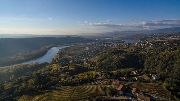
In this northern sector of the Regional Natural Park, two contrasting landscapes stand out. To the south the relief gains in altitude. The wooded hills and crests appear with their emblematic gray stone flows known locally as chirats.
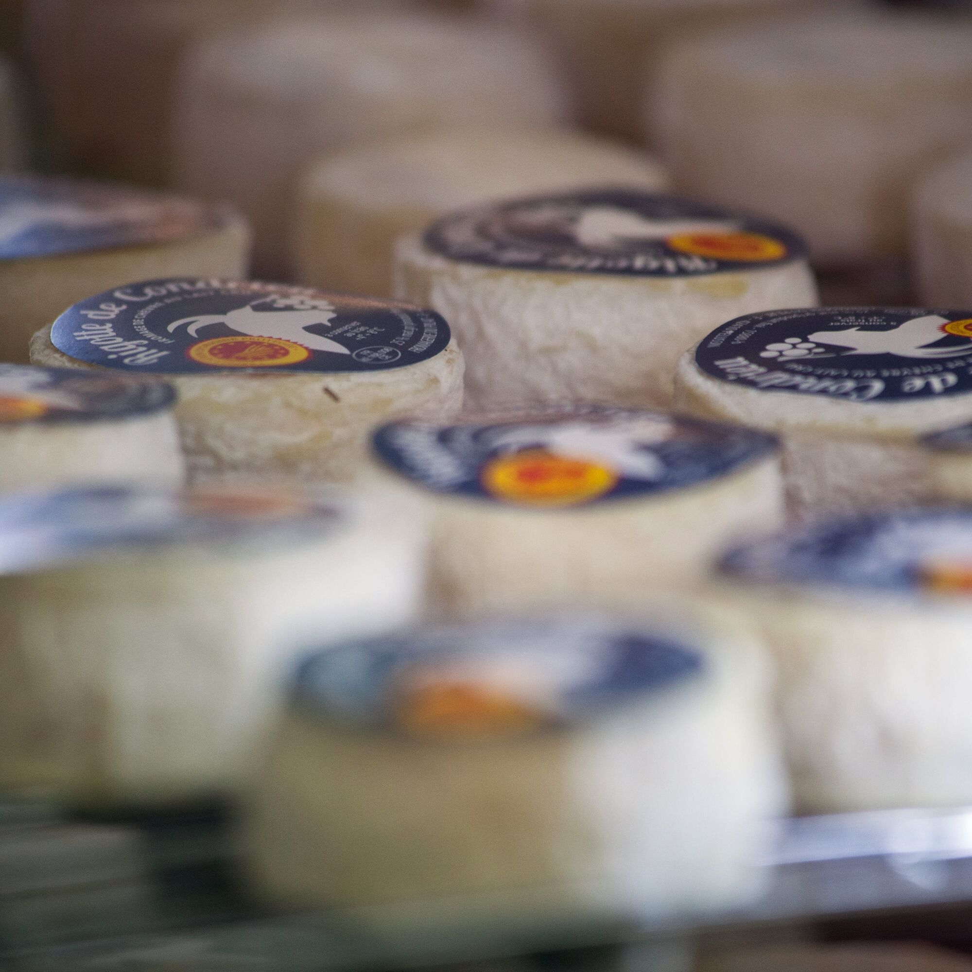
The northern facade of the massif is dominated by the plateaus. A diversified and high-quality agricultural activity is developing there, with products that can be found in the markets of the region: goat cheese, Pilat apples, etc.


Da
Good habits:
To safely enjoy your ride, here are our tips:
- Check the condition of your bike before departure (brakes, transmission, tightness of screws, ...) and the battery for electric bikes
- Wear a helmet, and keep it on while climbing
- Wear clothing suitable for the activity and the weather
- Bring water and food
- Carry a repair kit (tools, inner tube, pump...)
- Do not overestimate your skills
- Study the route before leaving
- Inform someone close about the loop you will do
- Have the phone number of a contact person in case of an accident
Cycling tourists are subject to and must respect the highway code (pedestrian crossings, yield signs, traffic lights, etc.). The road belongs no more to cyclists than to motorists. The highway code specifically prohibits cyclists from riding side by side when a car is overtaking.
45 min via the A7 motorway.
Saint-Clair-les-Roches station, direction Valence-Ville from Lyon.
Parking near the starting point
5
An error on this sheet? Write to the owner mentioning these references:
Sheet name: Le Pilat Rhodanien - Les Balcons du Pilat Rhodanien - Loop 1.4 | Sheet ID: 5799189 | URL (link) of this Outdooractive page.
Priljubljeni izleti v okolici
-
5.0
Mont Monnet and Rigotte de Condrieu
svetlobaPohodništvo 9.39 km -
Sentier des Grand(e)s Cru(e)s
svetlobaPohodništvo 3.48 km -
From Arbuel to the hills of Condrieu - Rhône Pilat - Condrieu
svetlobaPohodništvo 5.49 km -
MTB Route 231 - Les Landes de Montagny
težkoMountainbike 19.9 km -
In the heart of the Millery vineyards
svetlobaPohodništvo 9.96 km -
MTB Circuit 241 - The Garon Valley
težkoMountainbike 25.4 km -
Panorama Hike "The landscapes of Montagny"
svetlobaPohodništvo 10.3 km -
Hikers' trail for young and old
svetlobaTematska pot 3.69 km -
Mountain bike route 230 - The Old Town
svetlobaMountainbike 7.77 km -
Le Pilat Rhodanien - Okoli Mont Monnet - Loop 1.2
srednjaCestno kolo 17.5 km
Pohodništvo in sledenje


Ne zamudite ponudb in navdiha za naslednje počitnice
Vaš e-poštni naslov je bil dodan na poštni seznam.





