


Multiday mountain biking loop : Mountainbiking on Grand Colombier and Retord Plateau - Espace FFC Ain Forestière
Stopnja težavnosti: S2
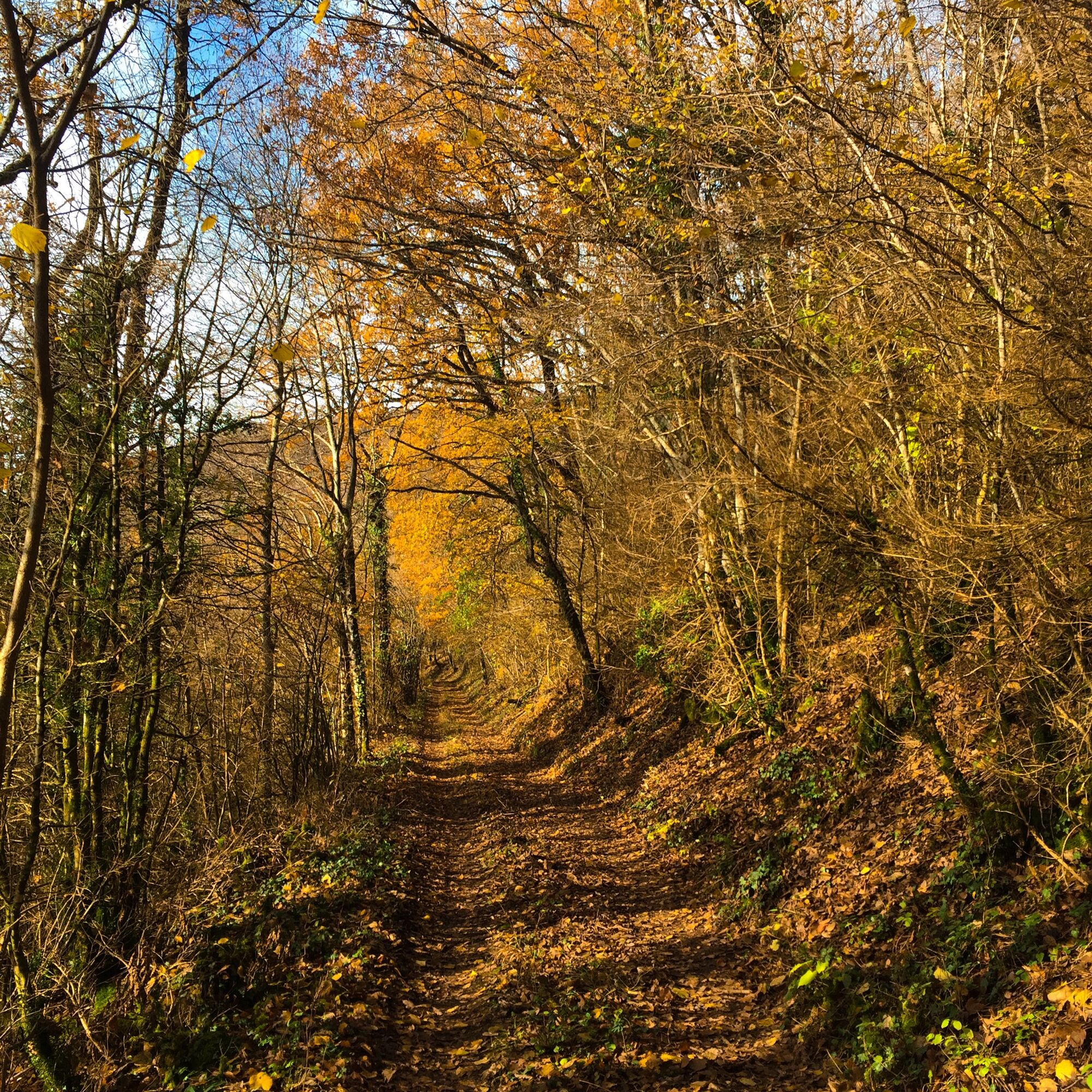
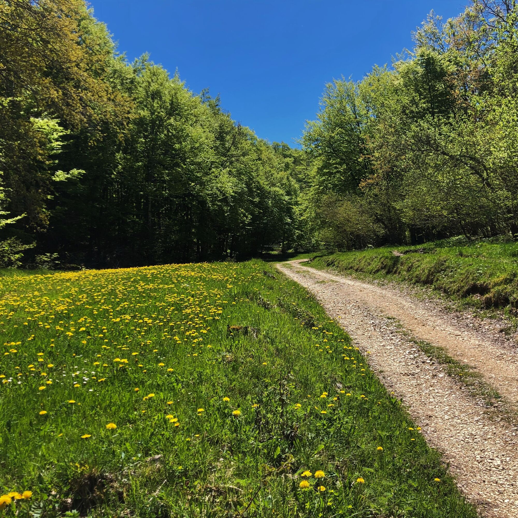
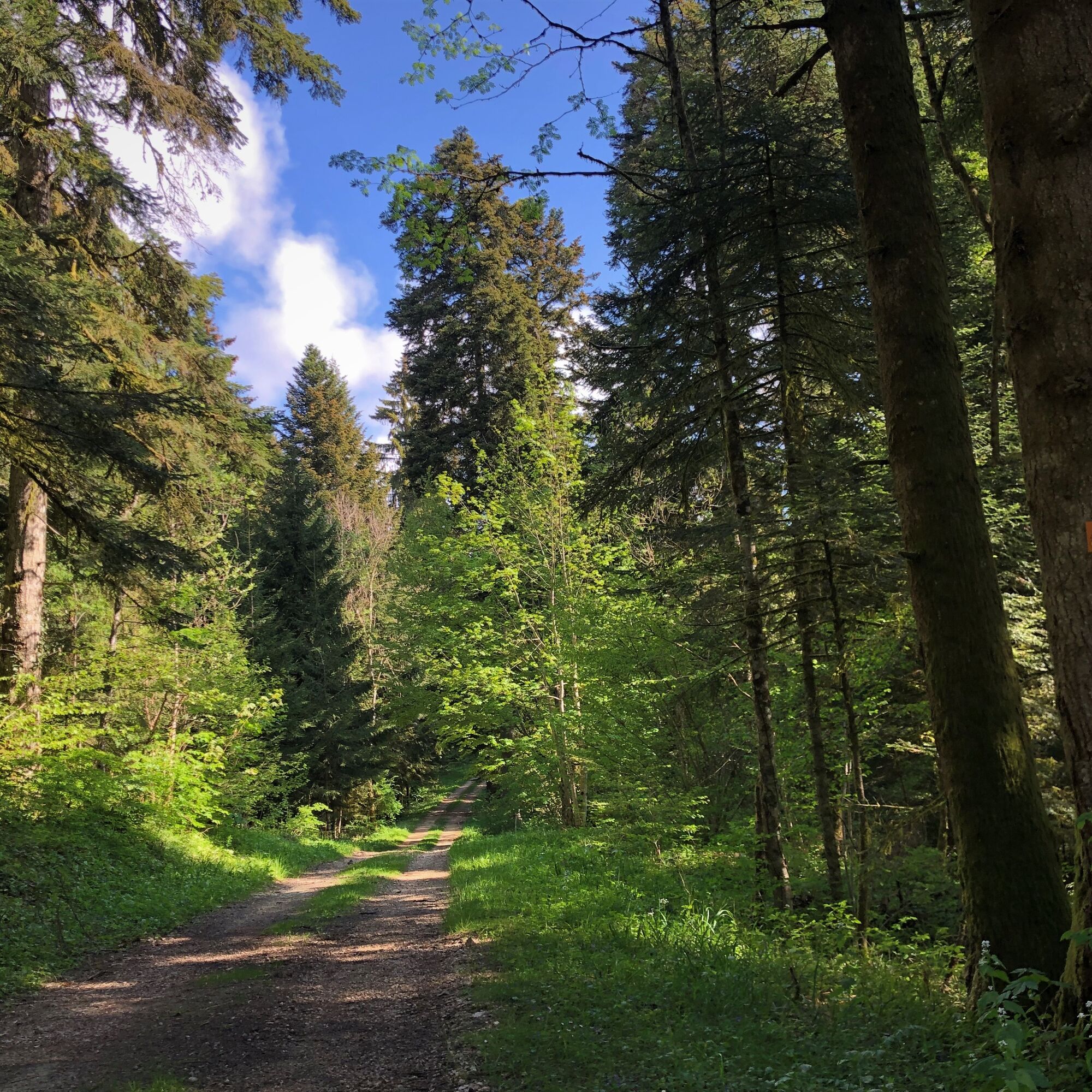
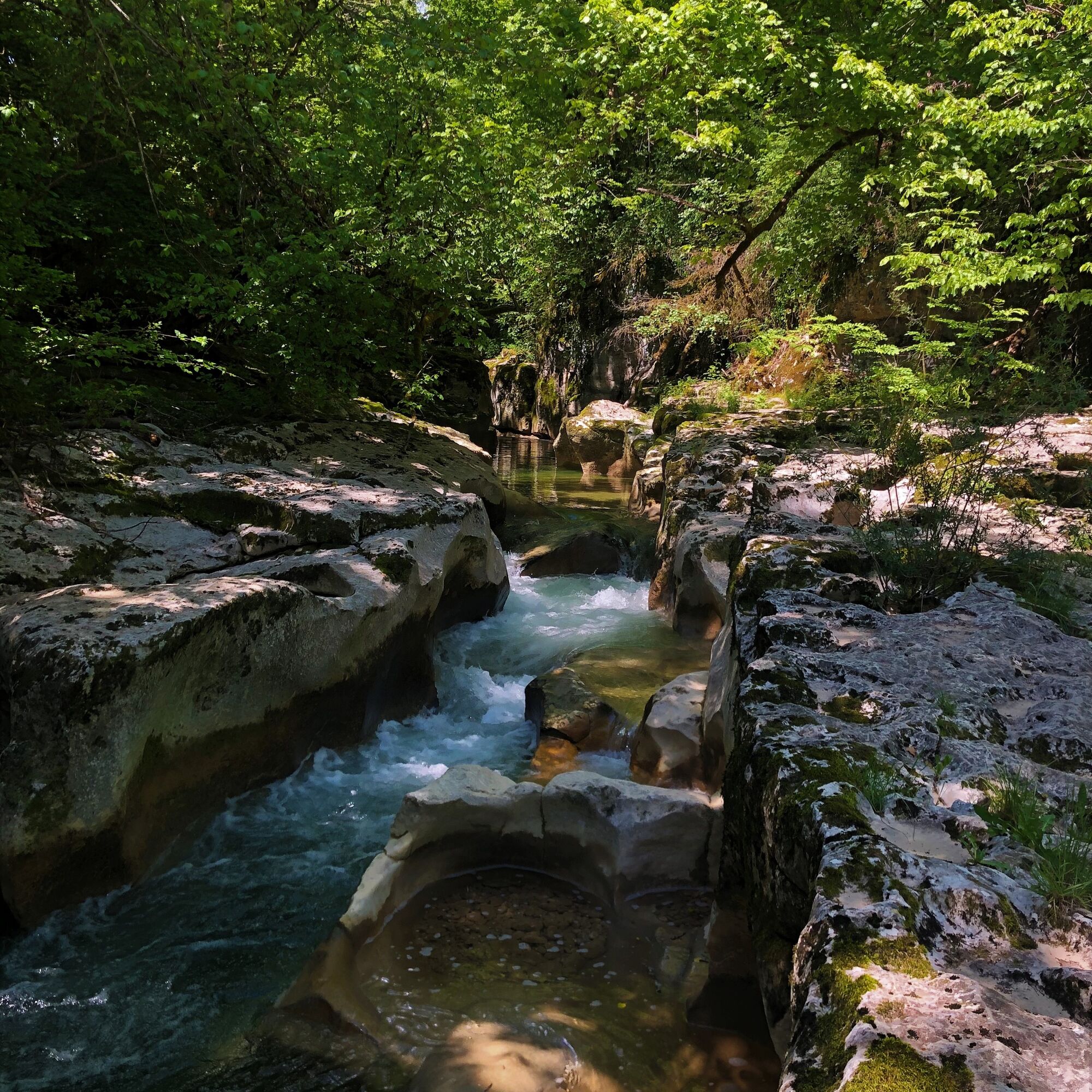
With a length of nearly 100 km, this marked loop on the two southern variants of the GTJ allows you to discover the southern end of the Jura Massif in a few days.
From the banks of the Rhône to Culoz at...
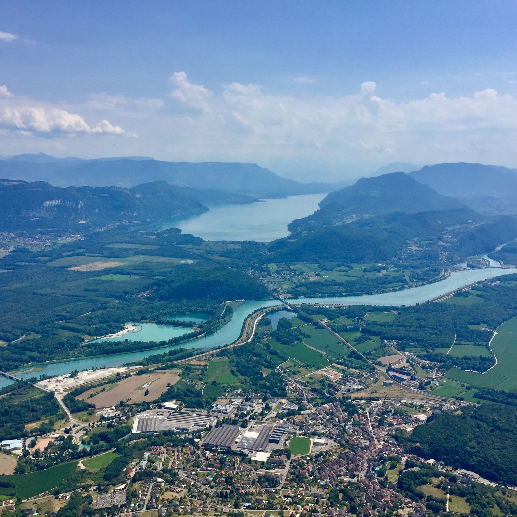
From the banks of the Rhône to Culoz at an altitude of 250 meters at the foot of the giant of Bugey, the Grand Colombier, culminating at nearly 1500 meters, passing through the plateaus of Retord and Hauteville, the circuit takes in varied landscapes and numerous balconies on the chain of the Alps, Mont Blanc and Lake Bourget.
Day 1 : Culoz > La Praille (32 km)
Day 2 : La Praille > Les Plans d'Hotonnes (27 km)
Day 3 : Les Plans d'Hotonnes > Culoz (35km)

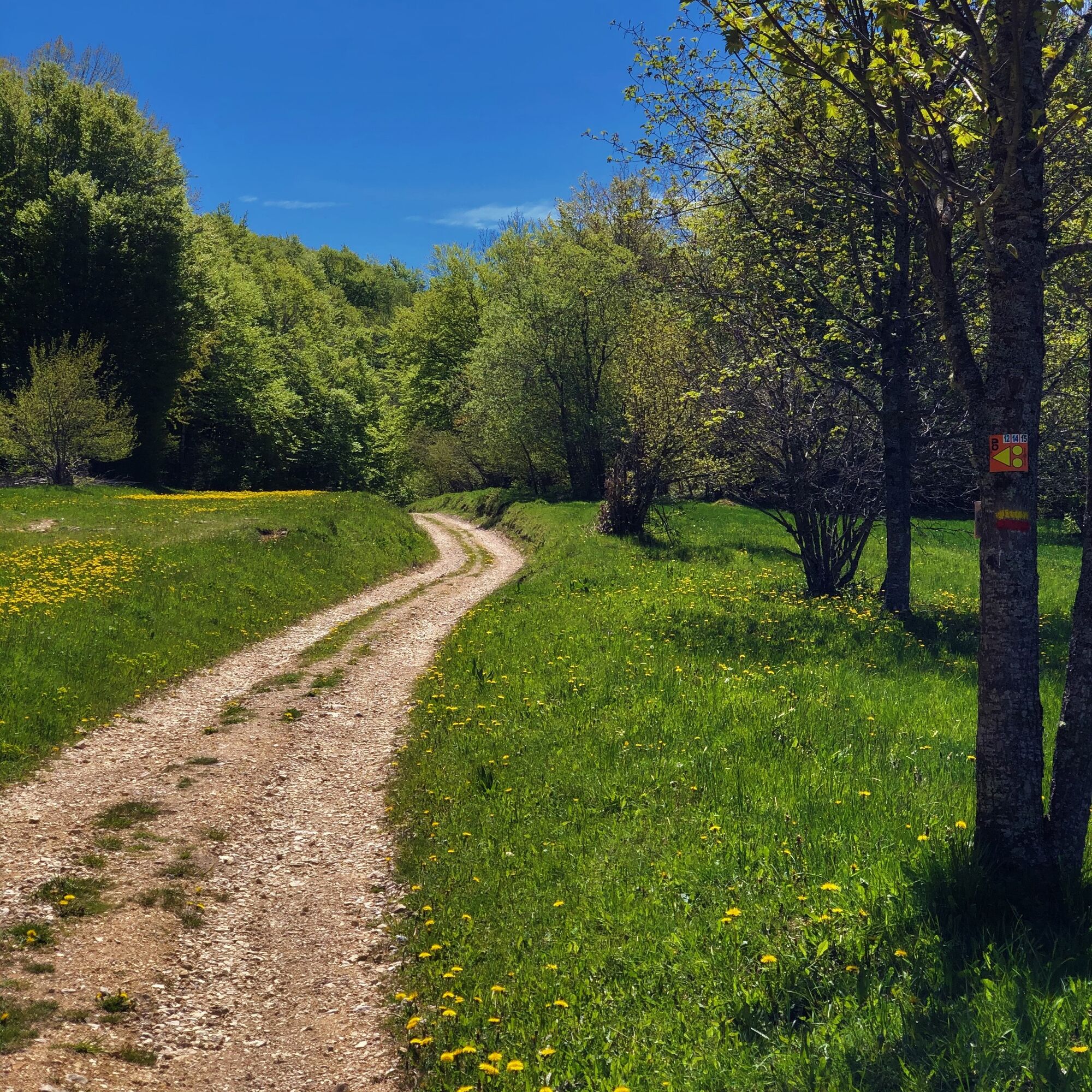
Follow the GTJ VTT waymarks
Waymarking in progress in spring 2024
Da
Da
It is strongly recommended to have water, food, a helmet, a mobile phone, and a repair kit.
This route does not include very technical sections.
However, the route crosses the alpine pastures of the Plateau de Retord, so great caution is advised when encountering a herd. Many herds are accompanied by guard dogs; in this case, it is strongly recommended not to cross the herd but to go around it. We thank you for keeping your dogs on a leash and for always closing the enclosures behind you.
Defective waymarking, incidents/safety, user conflicts, illegal dumping? : locate and share the problem on the national alert system via the SURICATE app or the site https://sentinelles.sportsdenature.fr/
Culoz is accessible in 1h15 from Lyon, 20 minutes from Aix les Bains, and 45 minutes from Geneva.
The starting point is accessible from the Culoz train station on the Lyon - Geneva line.
Parking is available at the train station or the Maison du Vélo.
S2
APIDAE Tourism data updated on 22/04/2022 by "Aintourisme".
An error on this sheet? Write to the owner mentioning these references:
Sheet name: GTJ VTT Loop from Plateau de Retord to Grand Colombier | Sheet ID: 6043076 | URL (link) of this Outdooractive page.
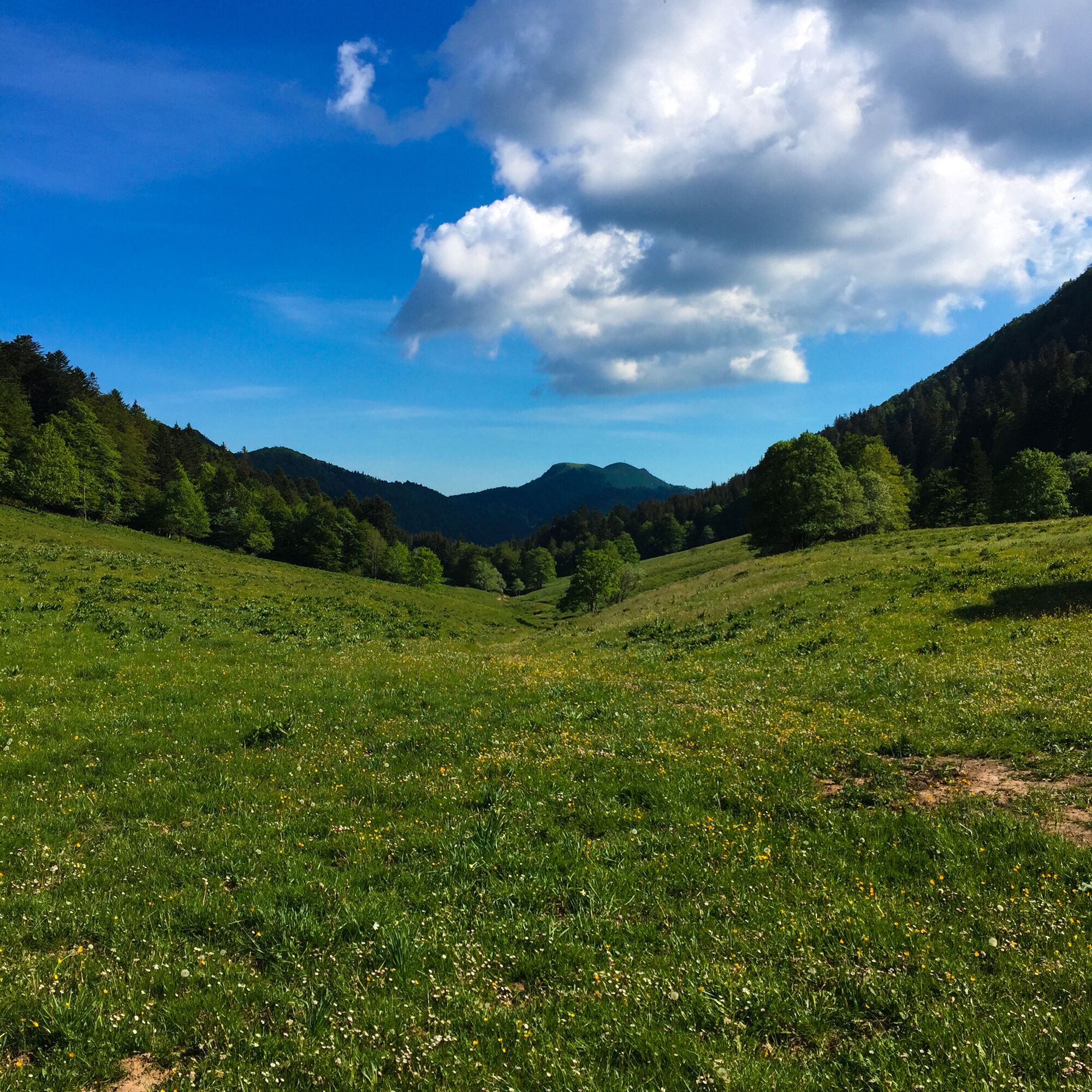
Fully waymarked loop, it can be split into three, two, or done in one go for experts with nerves of steel. You will first need to climb the ridges separating Valromey from the Plateau d'Hauteville to gain some altitude. The route becomes much more undulating from the Lèbe Observatory up to the ascent of the Grand Colombier, the highest point of the journey.
This true tour of Valromey via the ridges ends with a descent of more than 1000 meters of elevation down to Culoz.
Restaurants along the route: La Ferme Guichard, L'Auberge de la Praille, L'Auberge du Plâne, Restaurant Berthet in Plans d'Hotonnes, and the Chalet d'Arvières. (Remember to book to avoid unpleasant surprises!).
VTT and e-bike rental available at Servi'Nature in Plans d'Hotonnes.
This route is part of the "Ain Outdoor" selection.
Priljubljeni izleti v okolici
- 4,0
Hike: Golet au loup
svetlobaPohodništvo 7,11 km - 3,0
Hike: on the ridge of the Grand Colombier (circuit des crêtes)
srednjaPohodništvo 11,3 km - 1,0
Hike of the Clairefontaine waterfall
svetlobaPohodništvo 5,46 km Hike: Gorges de Thurignin
težkoPohodništvo 14,2 kmCycling tour : Marshes and vineyards in Bugey
svetlobaCestno kolo 33,1 kmHike: A wolf life.
svetlobaPohodništvo 7,22 km3 day-hike in Jura: hiking trails through Plateau de Retord and Grand Colombier
težkoPohodništvo 50,9 kmHike of the Grand Colombier starting from Munet
težkoPohodništvo 16,0 kmHike: Tour de Retord
težkoPohodništvo 18,6 kmMTB track 14 red - Retord - les balcons du Mont Blanc - Espace FFC Ain Forestière
težkoMountainbike 29,5 km

Pohodništvo in sledenje


Ne zamudite ponudb in navdiha za naslednje počitnice
Vaš e-poštni naslov je bil dodan na poštni seznam.