






MTB Course 13 red - South of the Plateau de Retord - Espace FFC Ain Forestière
Stopnja težavnosti: S1
Follow the blue signs number 13
22 km long with an elevation gain of 570 m, this loop is a real roller coaster on the footsteps of the partisans who were hiding and organizing their acts of resistance during...
22 km long with an elevation gain of 570 m, this loop is a real roller coaster on the footsteps of the partisans who were hiding and organizing their acts of resistance during WW2.
Do not forget to download the map before you go.
Ski resort in winter, les Plans d'Hotonnes is also famous for its slopes, cross country and snowshoe tracks and the international biathlon centre where you can try your luck on the shooting range at any time of the year.
You do not own a bike? Rent your mountain bike, e-bike, at the local rental shop Sports 360 located at the starting point.

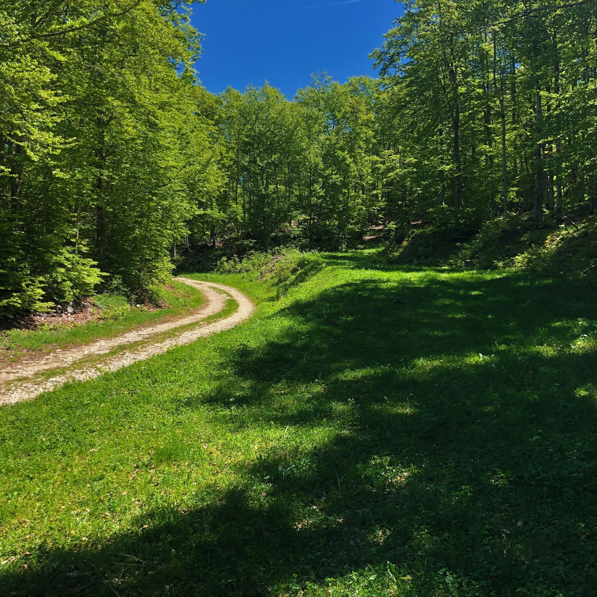
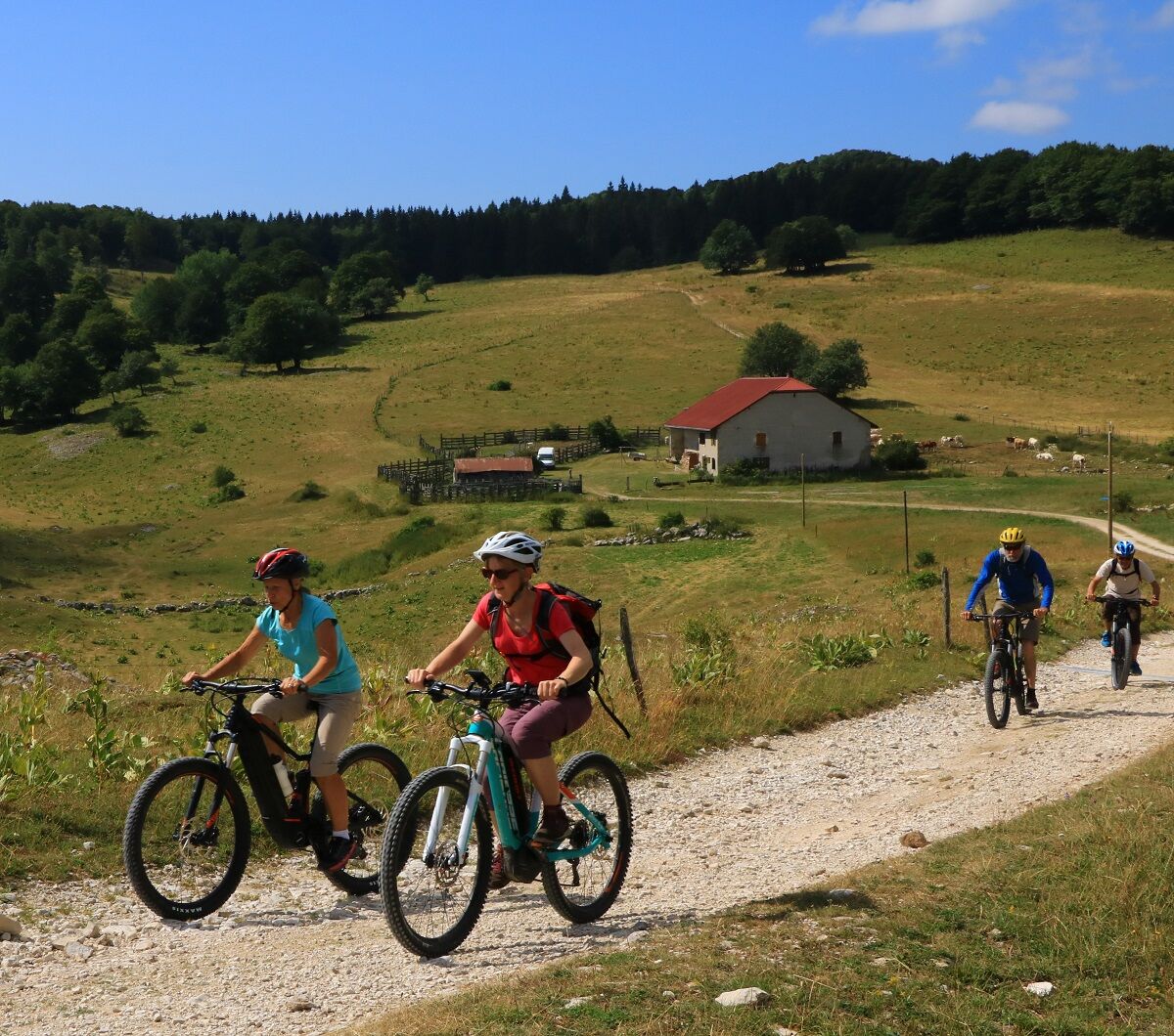
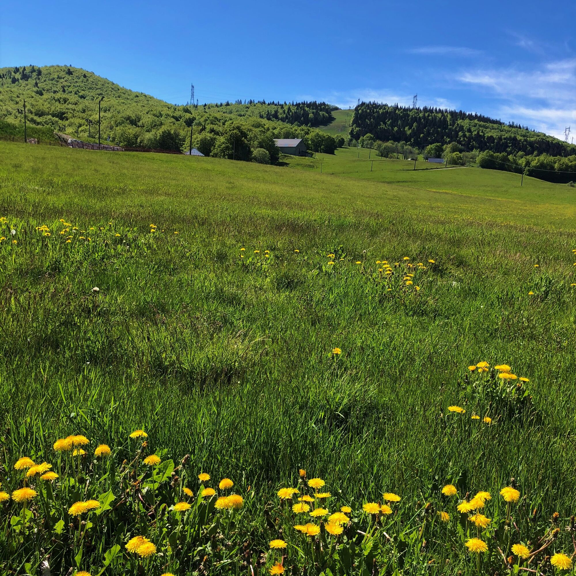
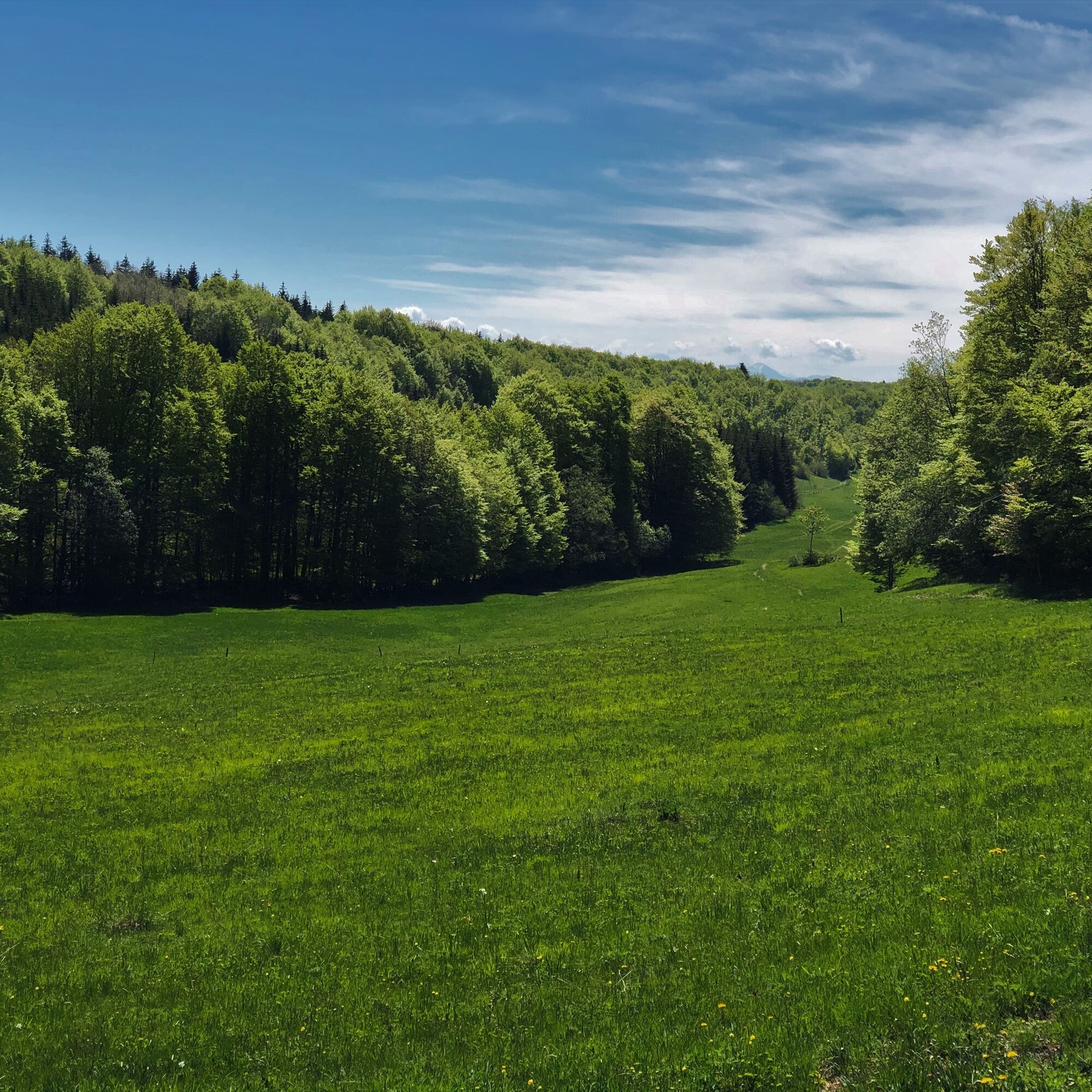
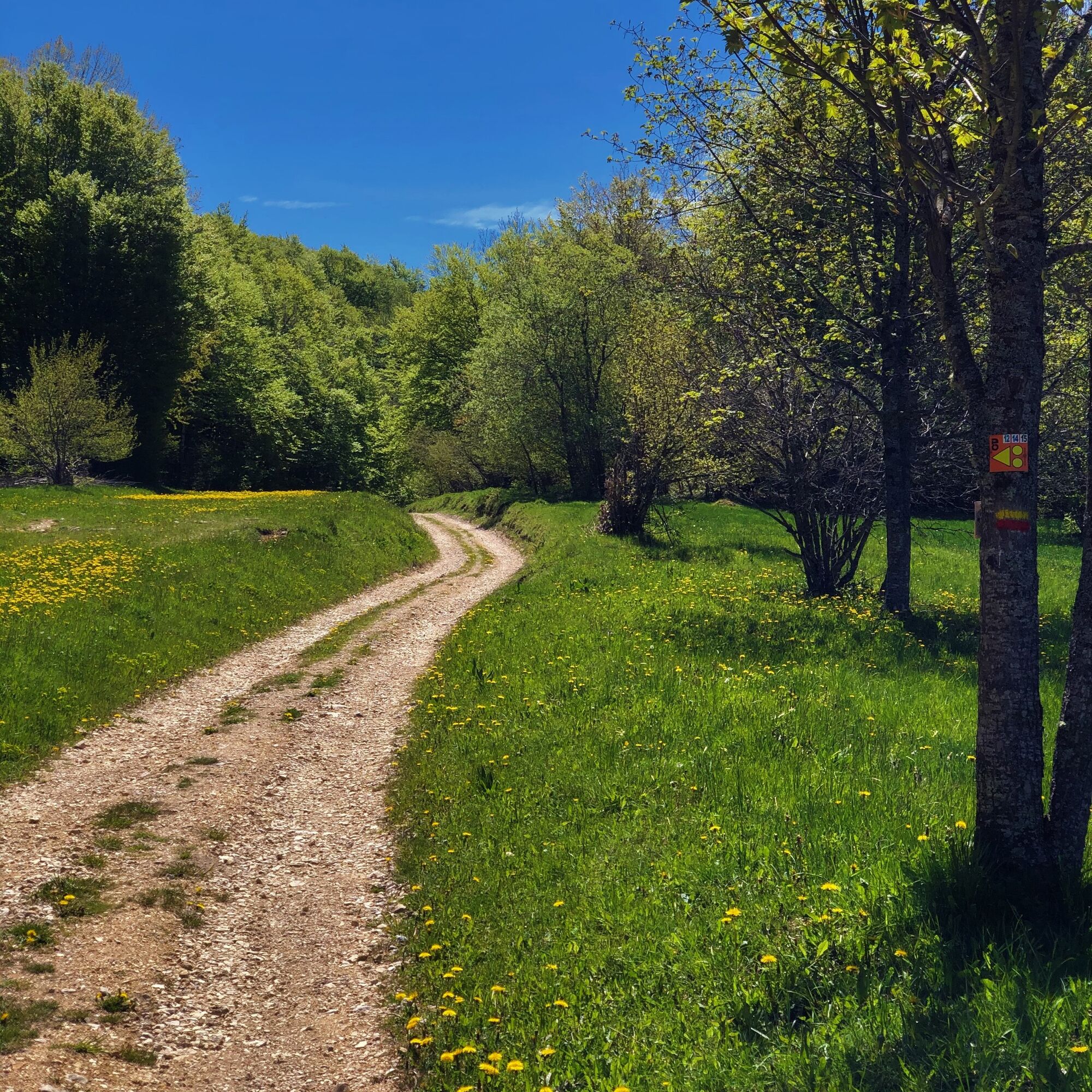
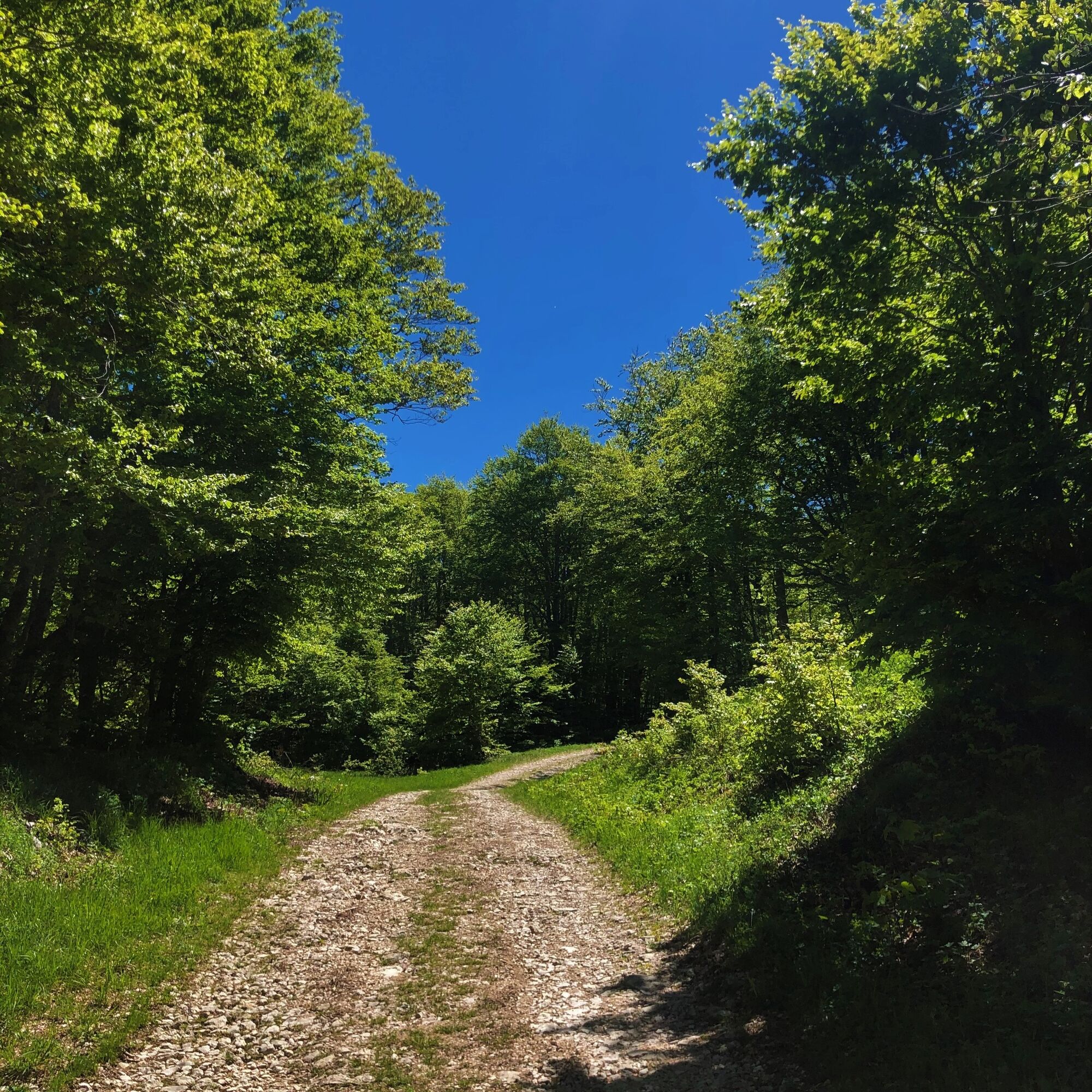
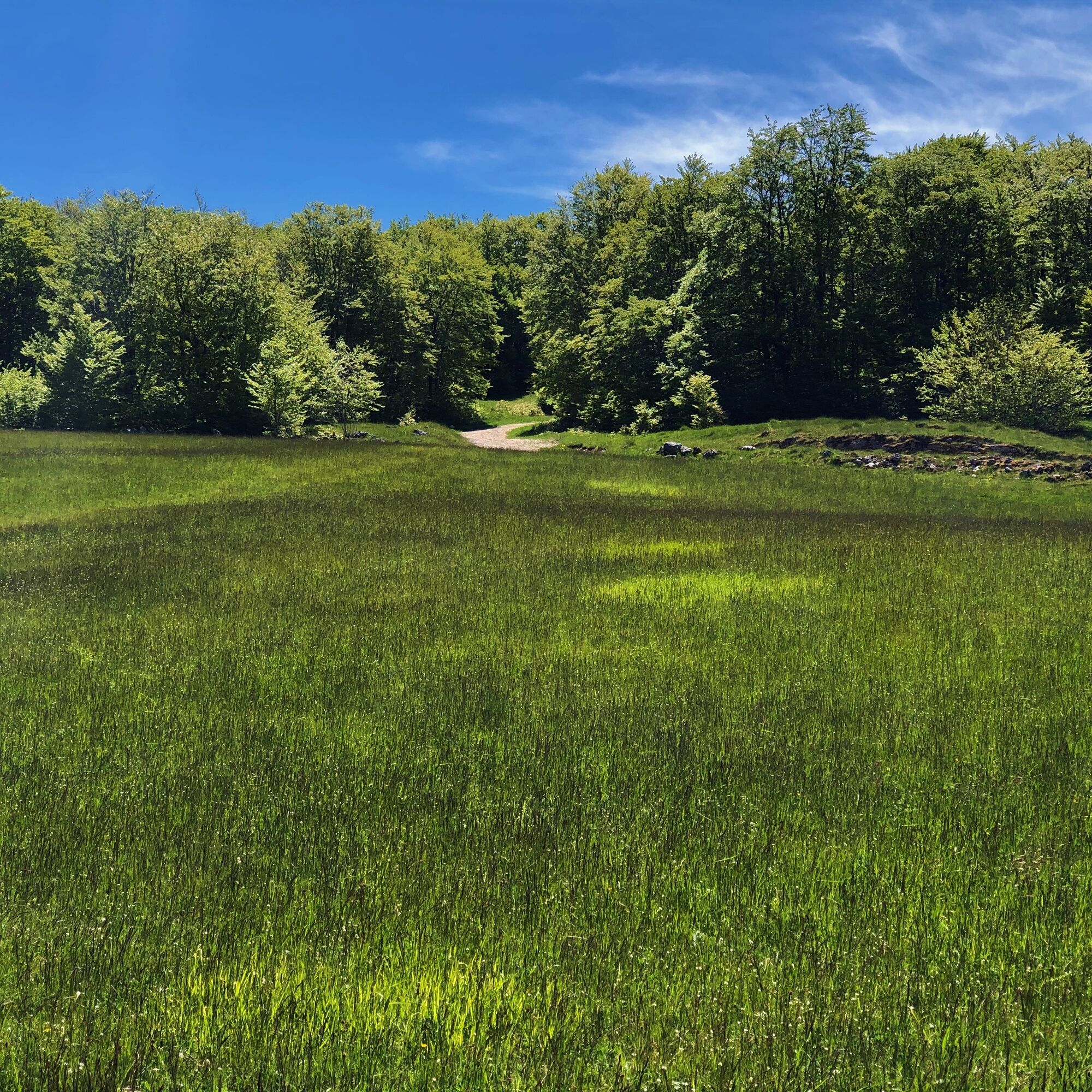
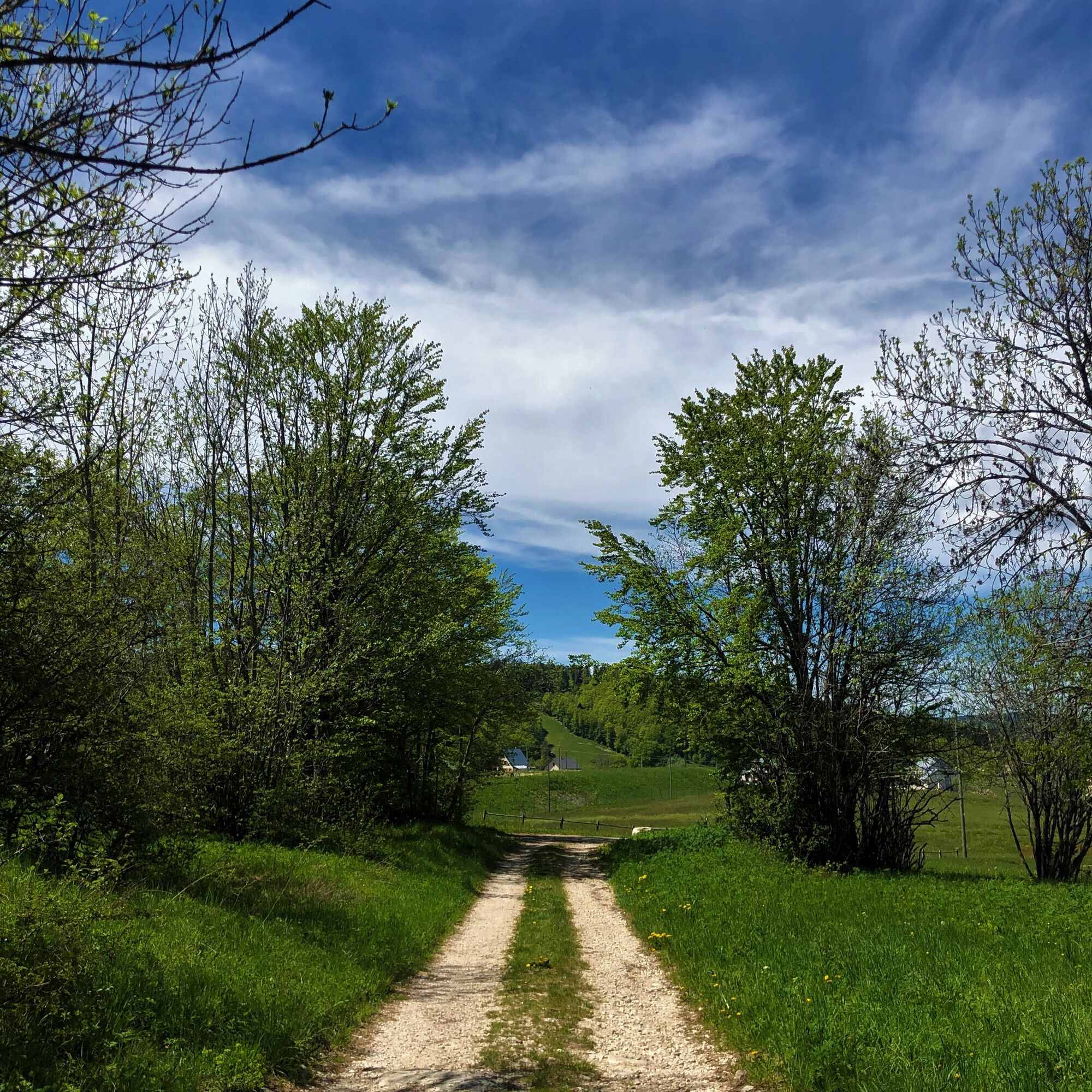

Marking in progress in spring 2024
Da
Da
It is strongly recommended to have a water bottle, a helmet, a mobile phone, and a repair kit.
This route has no difficult sections.
However, the circuit crosses the alpine pastures of the Plateau de Retord, so the utmost vigilance is recommended when you encounter a herd; many herds are accompanied by protection dogs, in which case, you are strongly advised not to cross it but to go around it. We thank you for keeping your dogs on a leash and systematically closing the enclosures behind you.
Consult the interactive Ma Patou map and learn the behavior to adopt: https://www.pasto-kezako.fr/ou-sont-les-chiens-de-protection-2/
Defective marking, incidents / safety, usage conflicts, illegal dumping? : locate and share the problem encountered on the national alert system via the SURICATE app or via the website https://sentinelles.sportsdenature.fr/
From Lyon, follow the A42 then the A40 towards Geneva until the Saint Martin du Fresne exit where the Plans d'Hotonnes station is indicated.
From Mâcon, follow the A40 towards Geneva until the Saint Martin du Fresne exit where the Plans d'Hotonnes station is indicated.
The Plans d'Hotonnes station is not accessible by public transport.
It is possible to park in the main parking lot of the Plans d'Hotonnes station opposite the Maison des Plans.
S1
APIDAE Tourism data updated on 15/06/2022 by "Aintourisme".
An error on this page? Write to the owner by recalling these references:
Page name: Circuit 14 Les Plans d'Hotonnes - Espace VTT-FFC du Bugey | Record ID: 158559 | URL (link) of this Outdooractive page.
Good tips from the Tourist Office.
Electric mountain bike and mountain bike rental available at the start of the loops at the Sports 360 shop, reservation recommended. (Rentals, sales and repairs).
After exertion, enjoy the Ain's temps loisirs shop in the heart of the resort offering refreshments, light meals, an eco-friendly souvenir shop, and a wellness area composed of Norwegian baths and sauna.
This loop allows you to discover the southern part of the Plateau de Retord located between the Plans d'Hotonnes Station, Hotonnes, and the Richemond pass.
This route is part of the "Ain Outdoor" selection.
Pridobite vpogled Vedno v živo na mestu z več kot 9.500 spletnimi kamerami. bergfex Kot uporabnik Pro si lahko zdaj ogledate ustrezne spletne kamere za številne izlete v aplikaciji izleti iz. Tako si lahko neposredno ogledate trenutne razmere. Priljubljeni izleti v okolici
- 3,0
Hike: on the ridge of the Grand Colombier (circuit des crêtes)
srednjaPohodništvo 11,3 km Hike: A wolf life.
svetlobaPohodništvo 7,22 km3 day-hike in Jura: hiking trails through Plateau de Retord and Grand Colombier
težkoPohodništvo 50,9 kmHike of the Grand Colombier starting from Munet
težkoPohodništvo 16,0 kmMTB track 14 red - Retord - les balcons du Mont Blanc - Espace FFC Ain Forestière
težkoMountainbike 29,5 kmHike: Tour de Retord
težkoPohodništvo 18,6 kmHike: on the steps of the WW2 French resistance.
težkoPohodništvo 17,8 kmCycling tour: Geological curiosities of Valromey
svetlobaCestno kolo 37,1 kmHiking in Bugey: La Ronde des Plans
svetlobaPohodništvo 13,1 kmRunning trail: Retord tour
težkoTrailrunning 18,6 km
Pohodništvo in sledenje


Ne zamudite ponudb in navdiha za naslednje počitnice
Vaš e-poštni naslov je bil dodan na poštni seznam.





