Navigacija po spletni strani
Pridobite to turo v svoj mobilni telefon
Zemljevid
Aargauer Weg
srednja
Pohodništvo
101.90 km
Skenirajte kodo QR in začnite navigacijo v aplikaciji bergfex.
QR Code
Pohodništvo in sledenje

Aargauer Weg

Razdalja
101.9 km
Trajanje
46:20 h
Ascent
1,841 hm
Morska gladina
330 - 862 m
Prenos skladbe
Zemljevid
Aargauer Weg
srednja
Pohodništvo
101.90 km

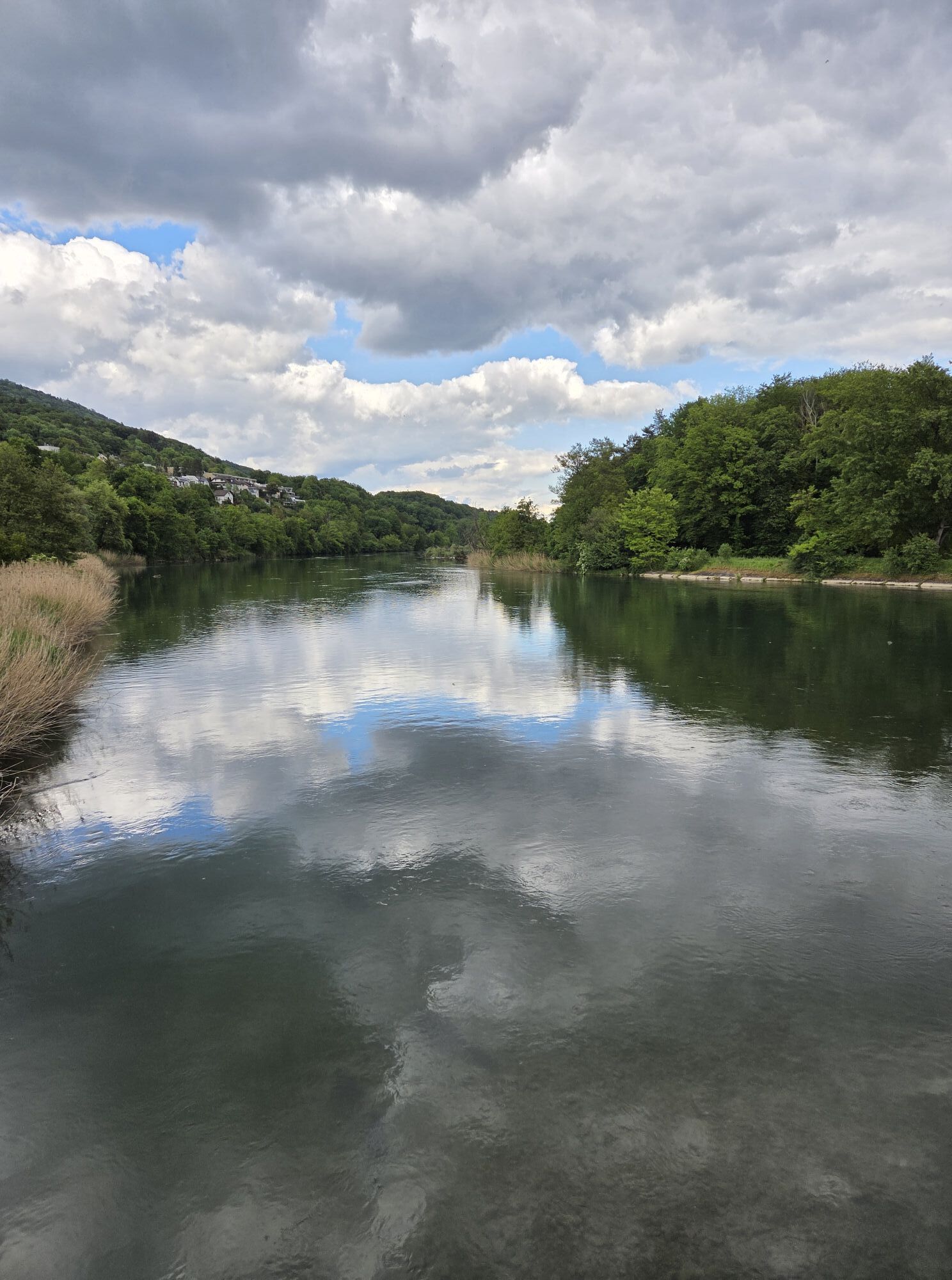
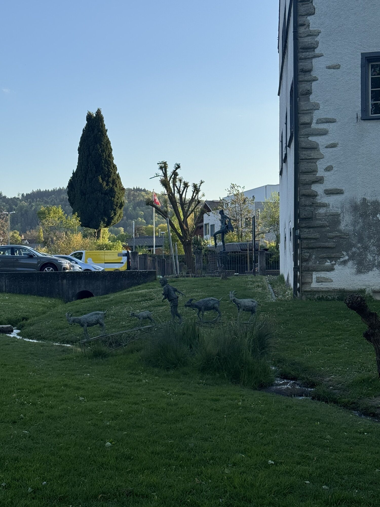
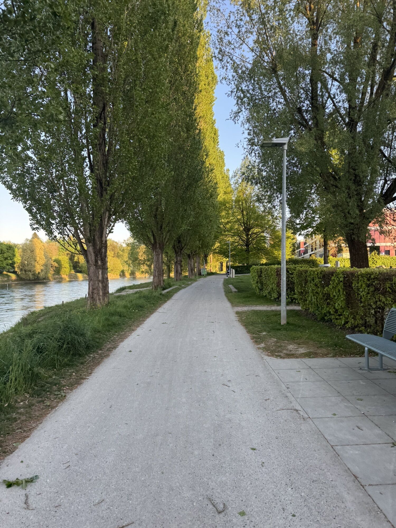
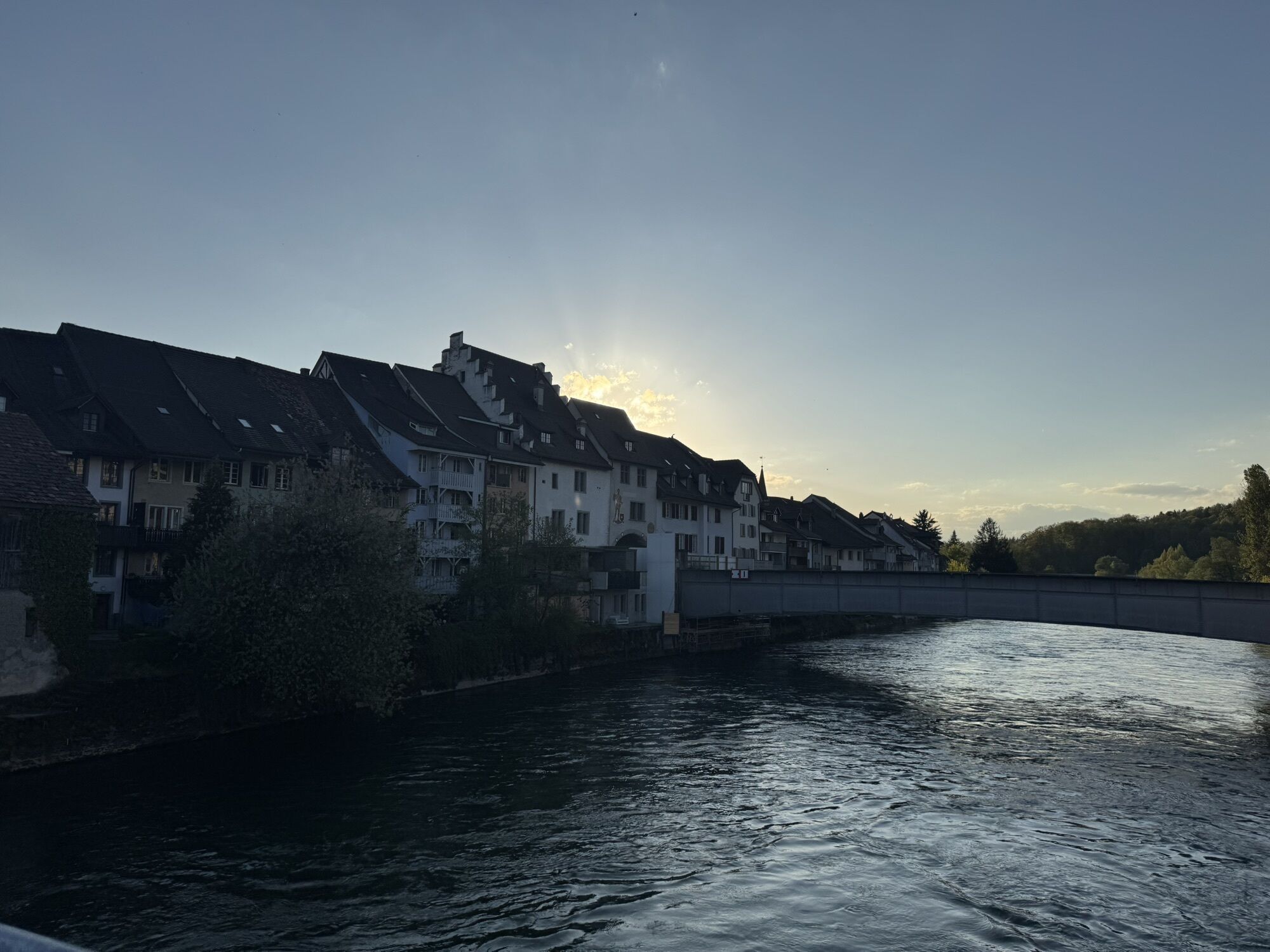
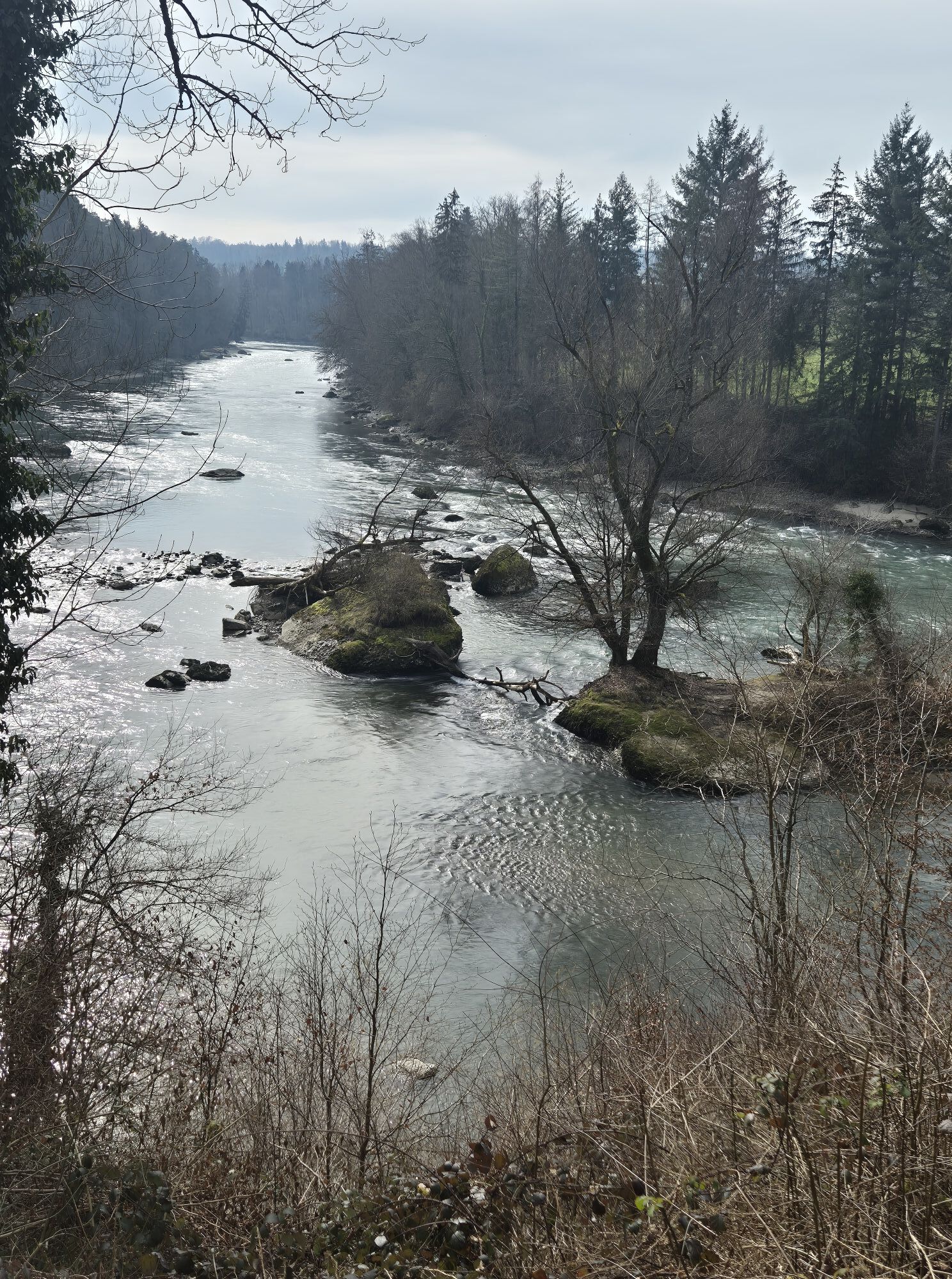
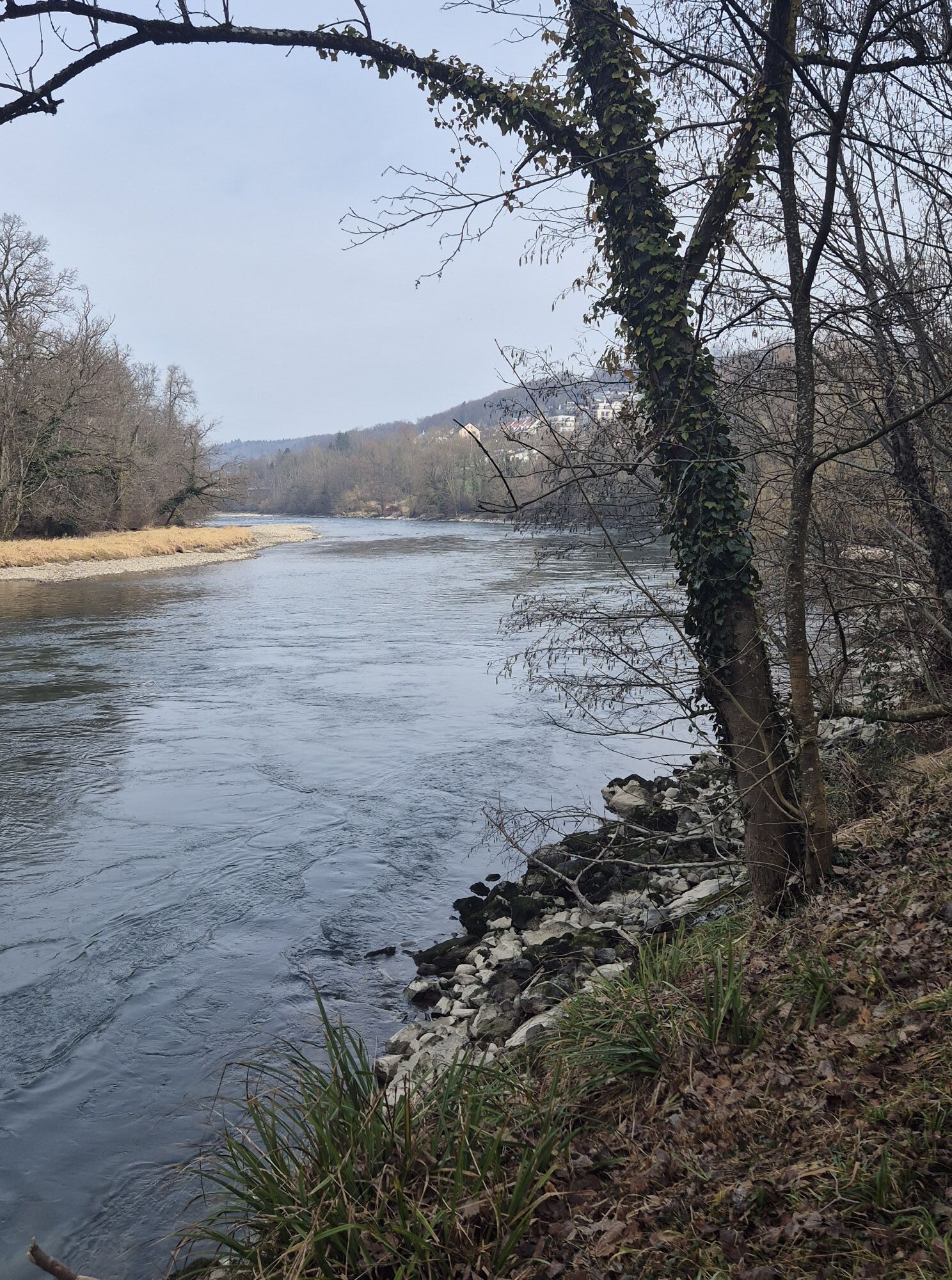
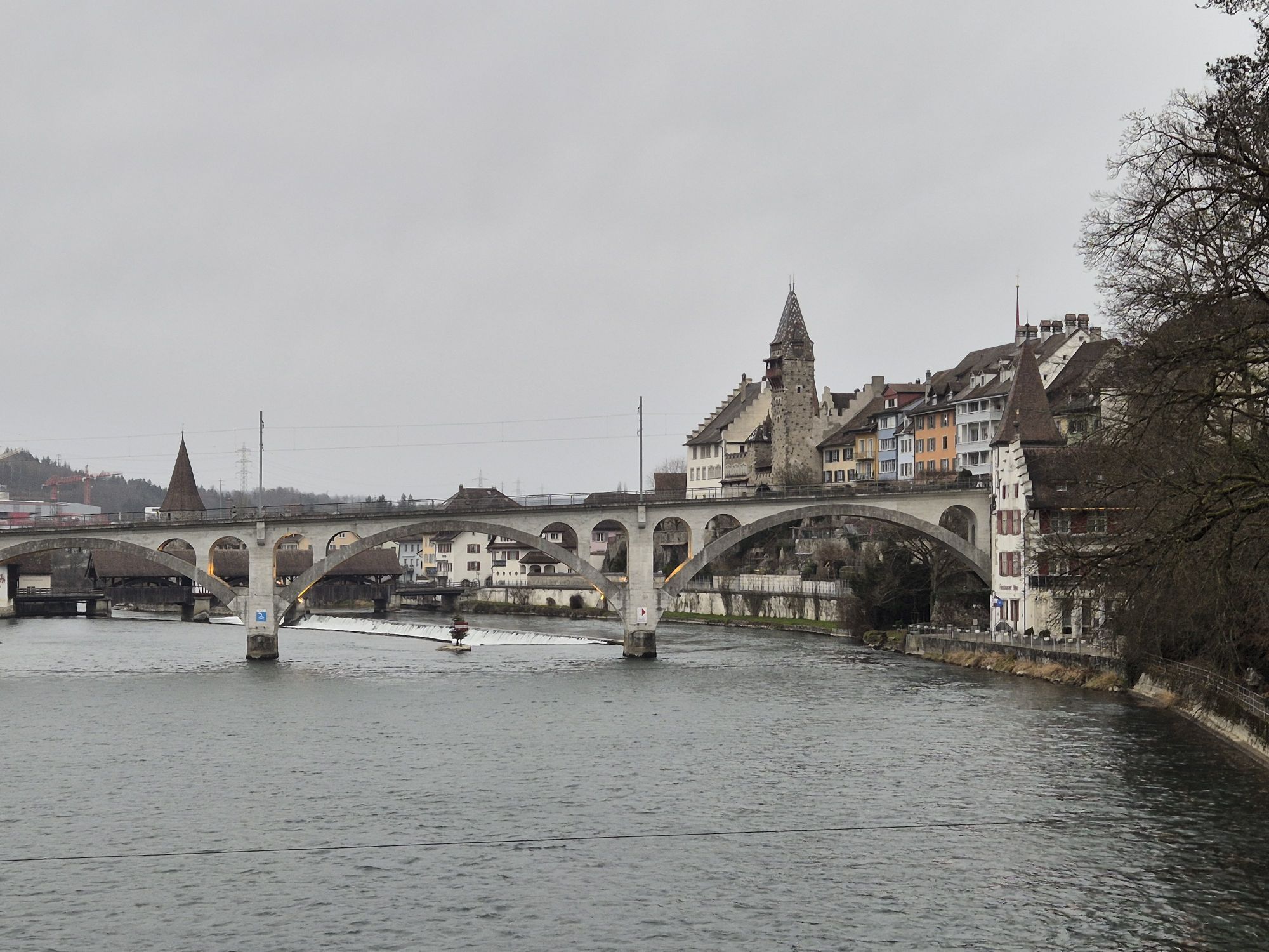
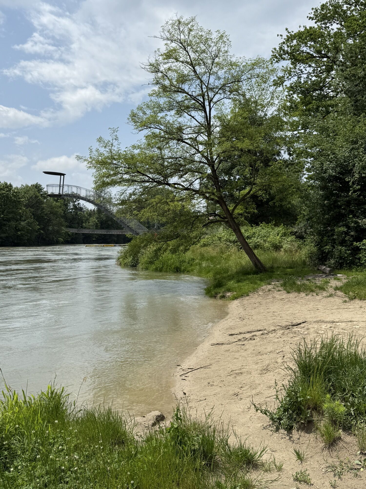
Fotografije naših uporabnikov

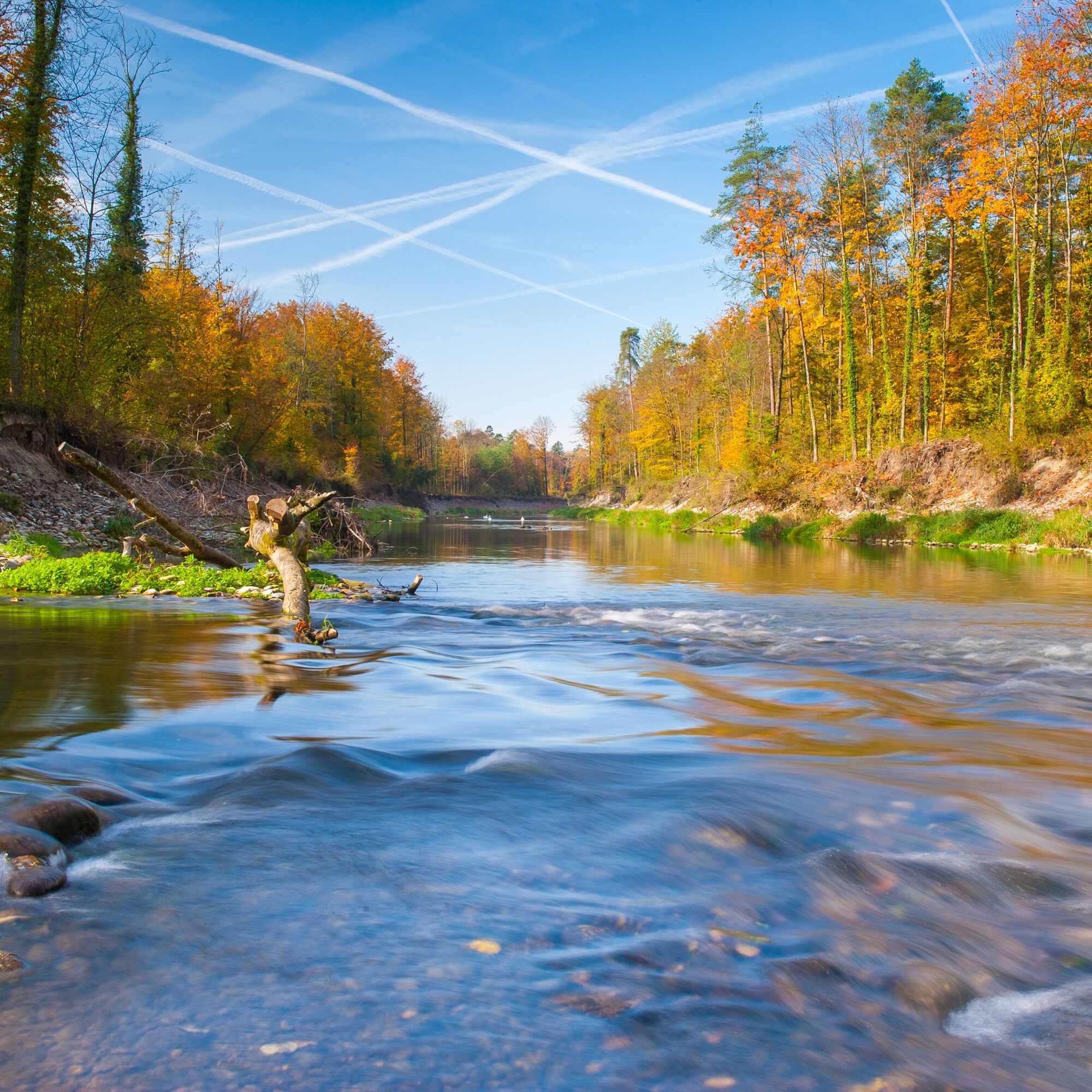
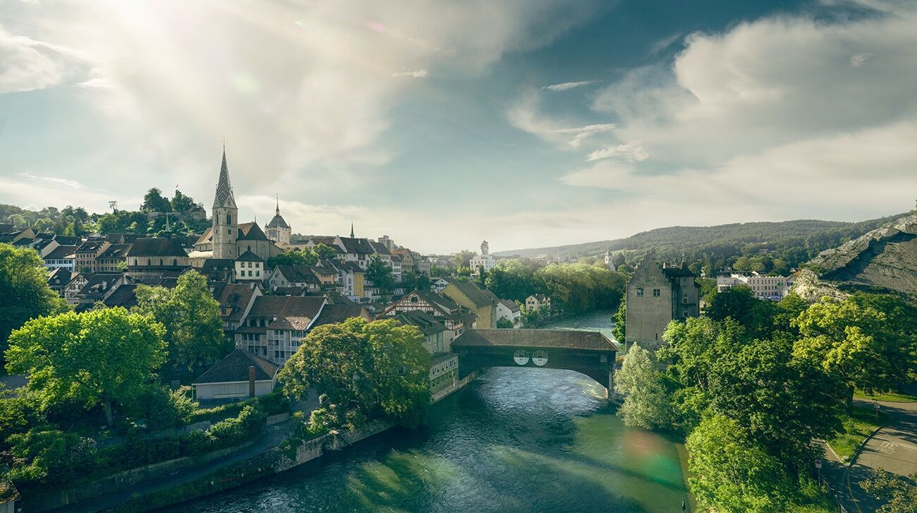
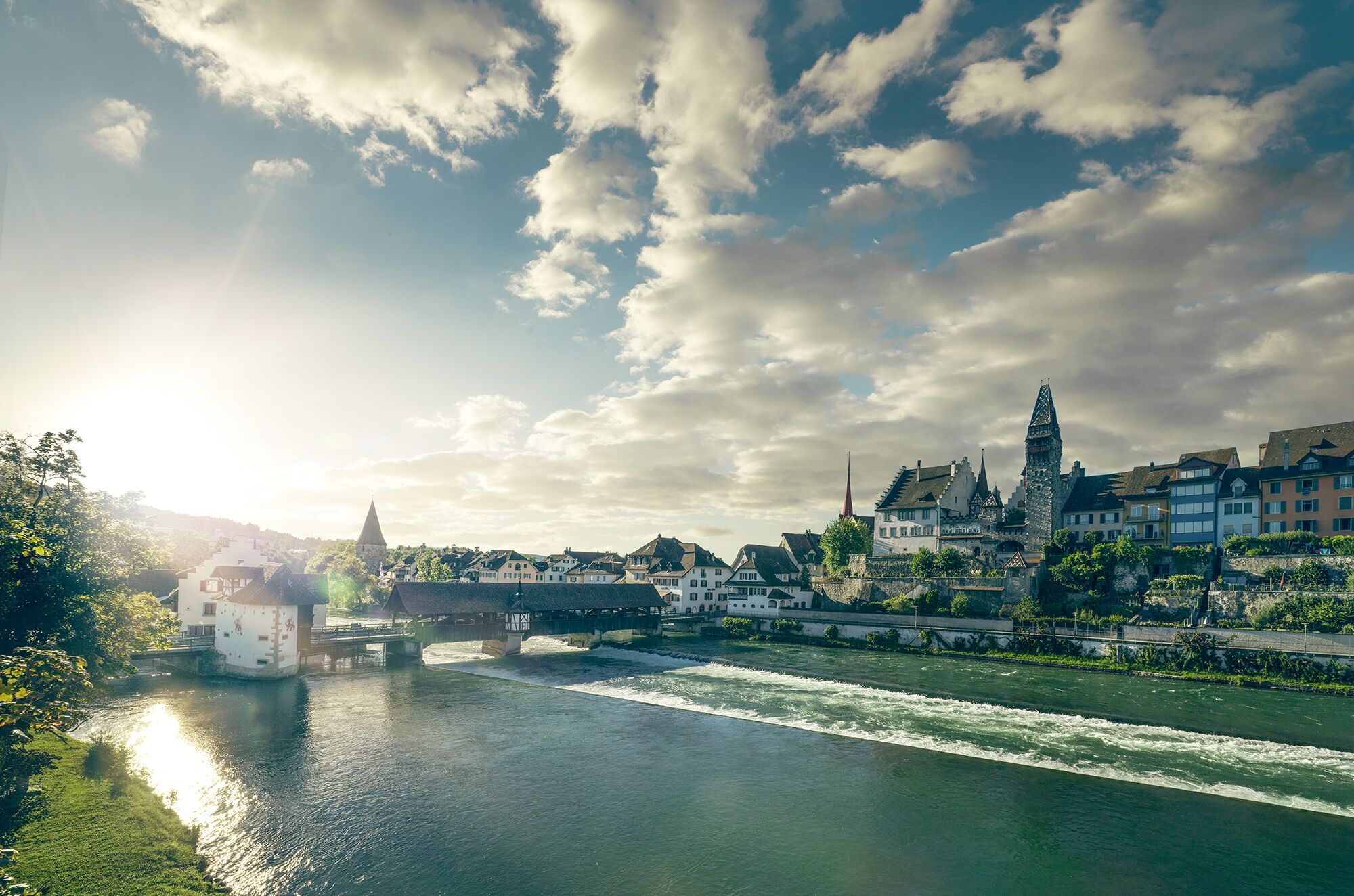
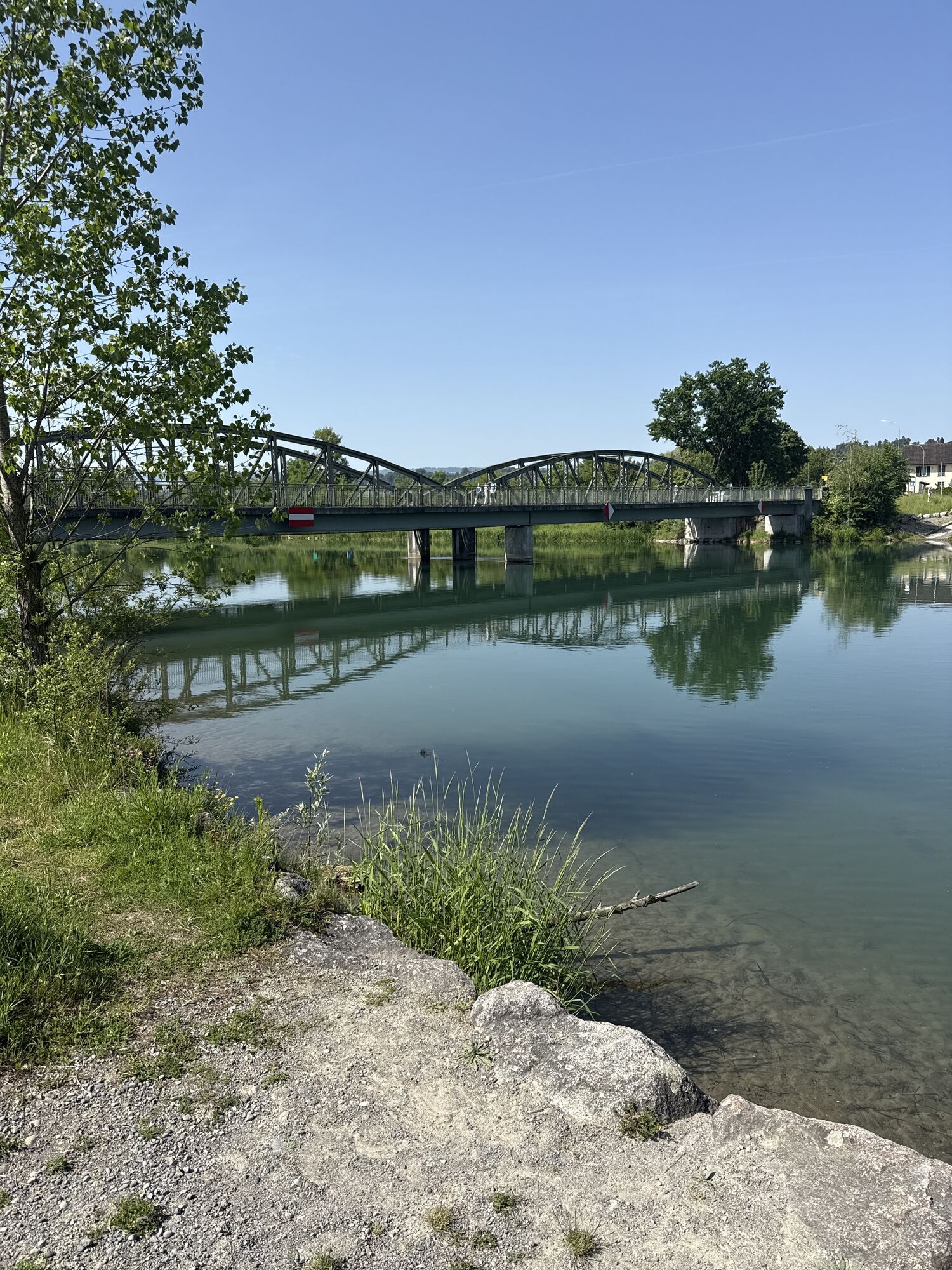
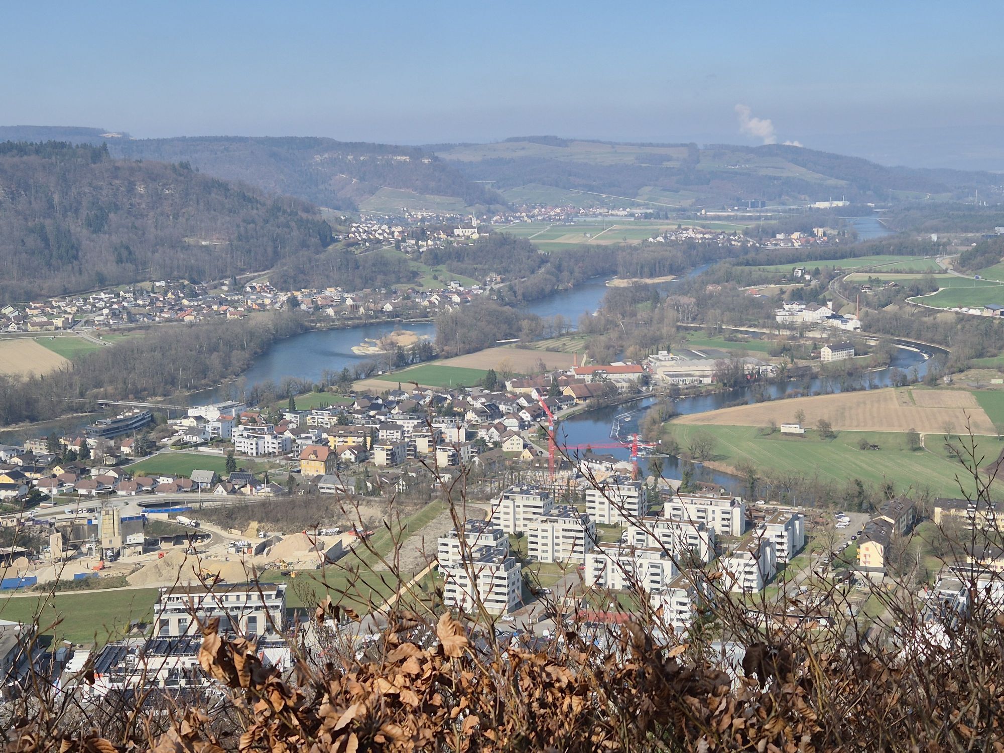
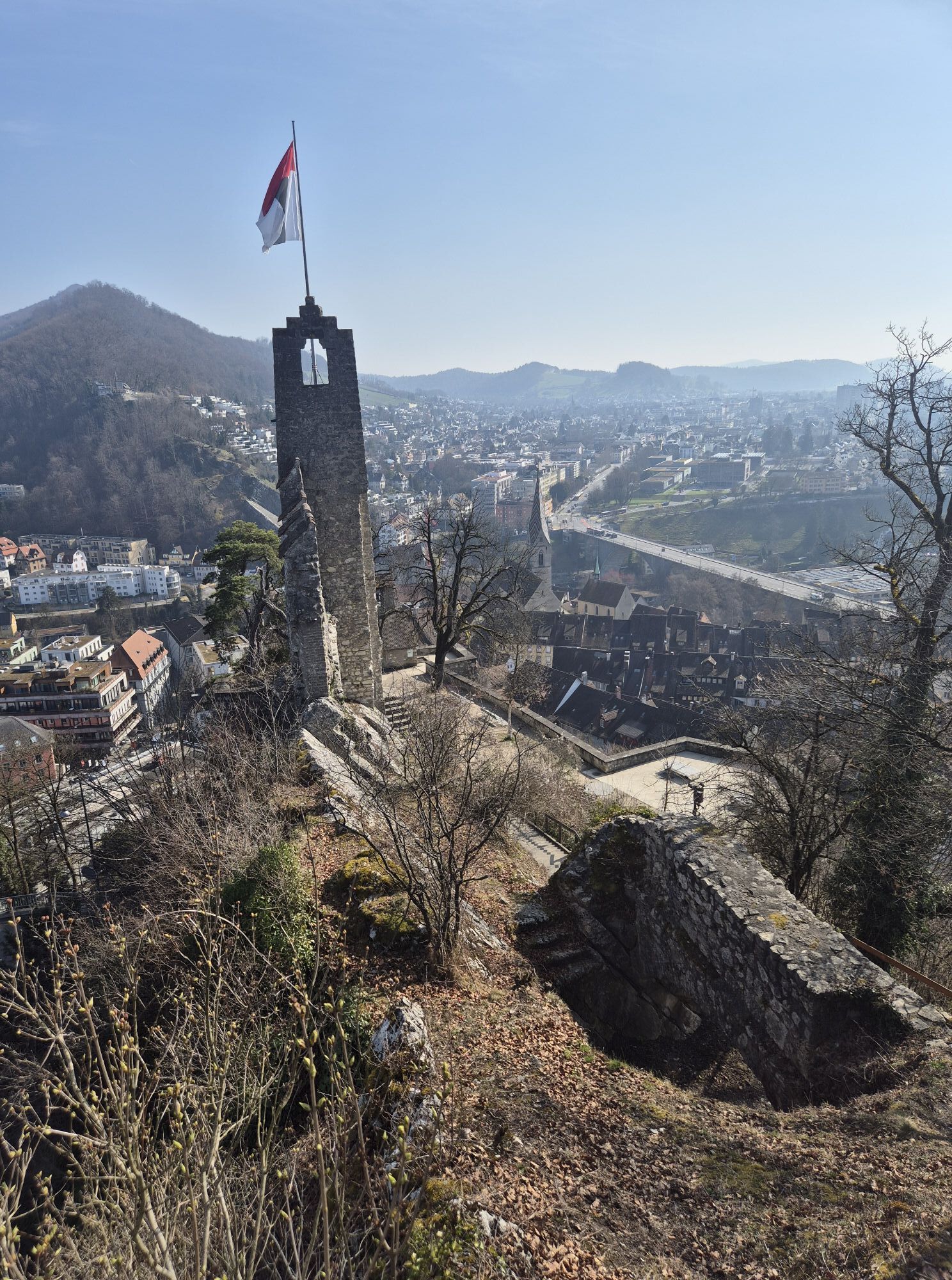
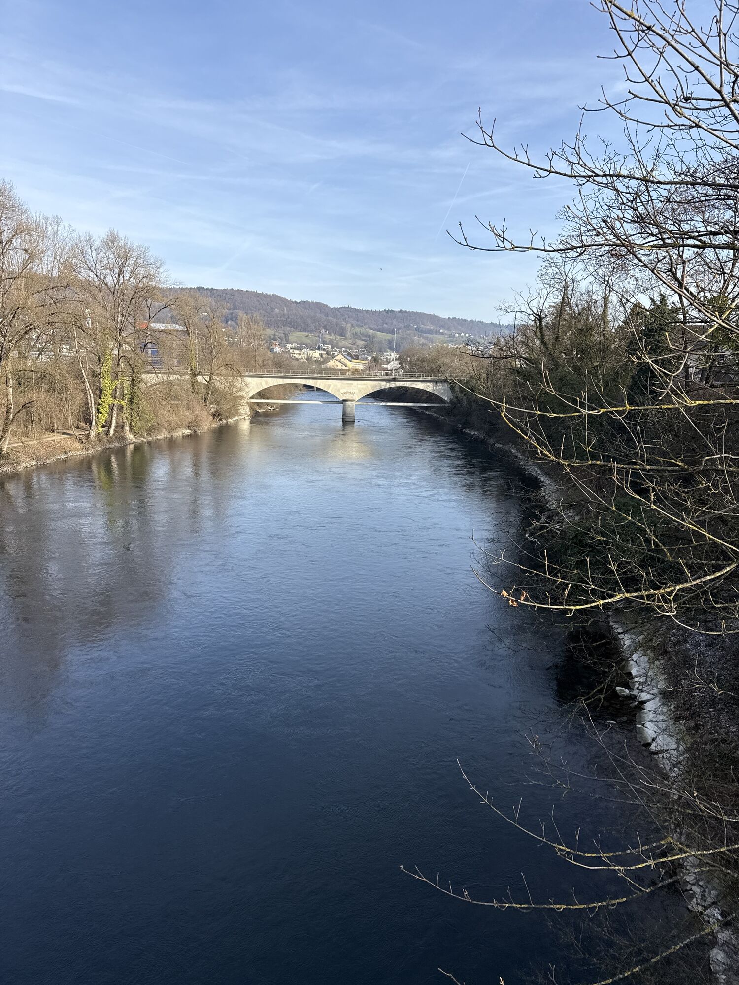
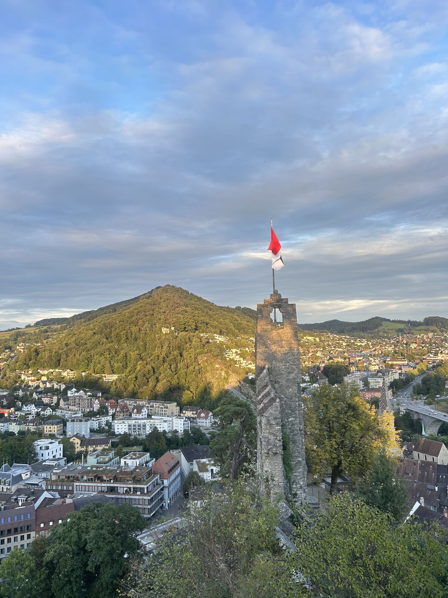
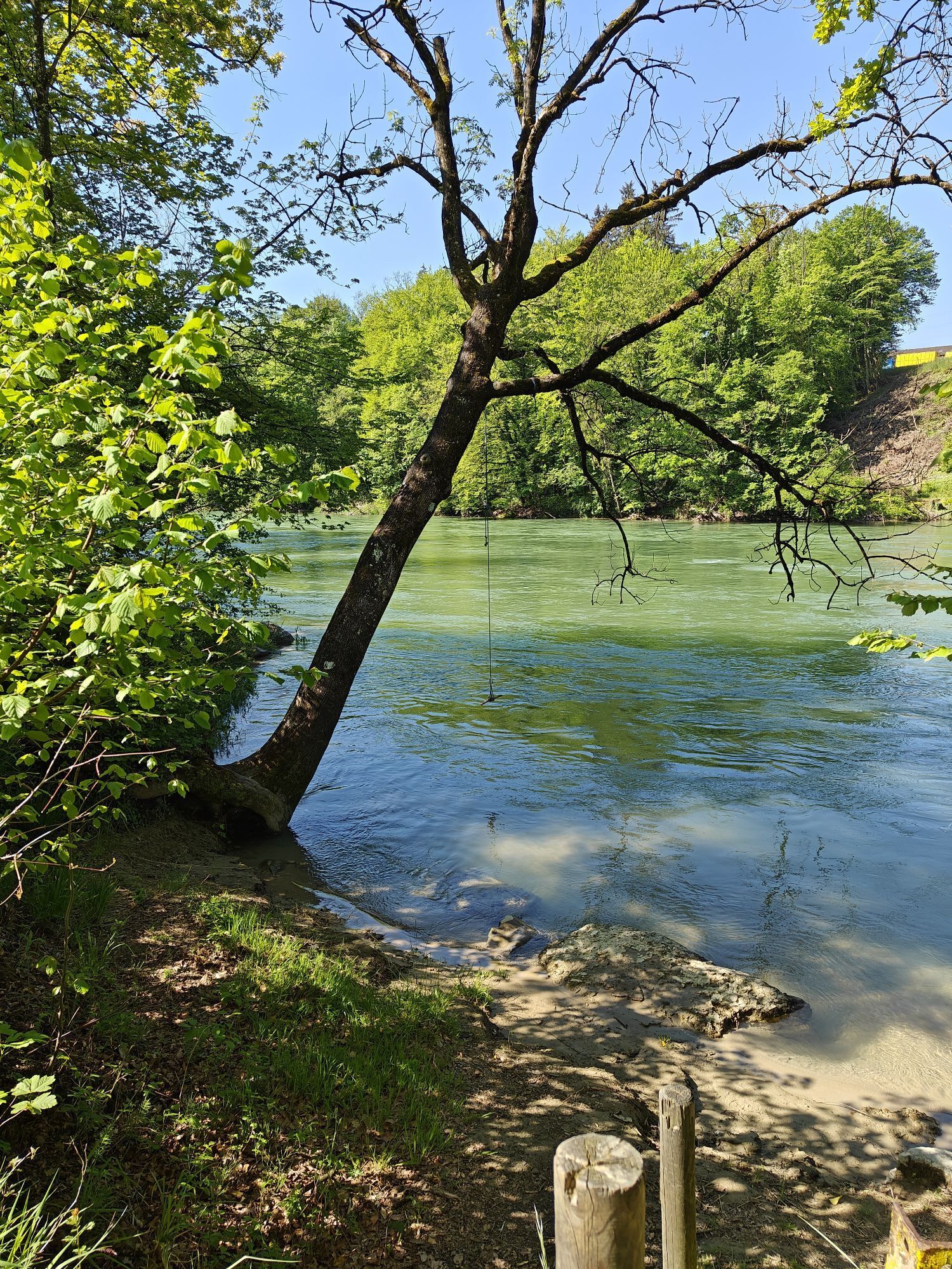
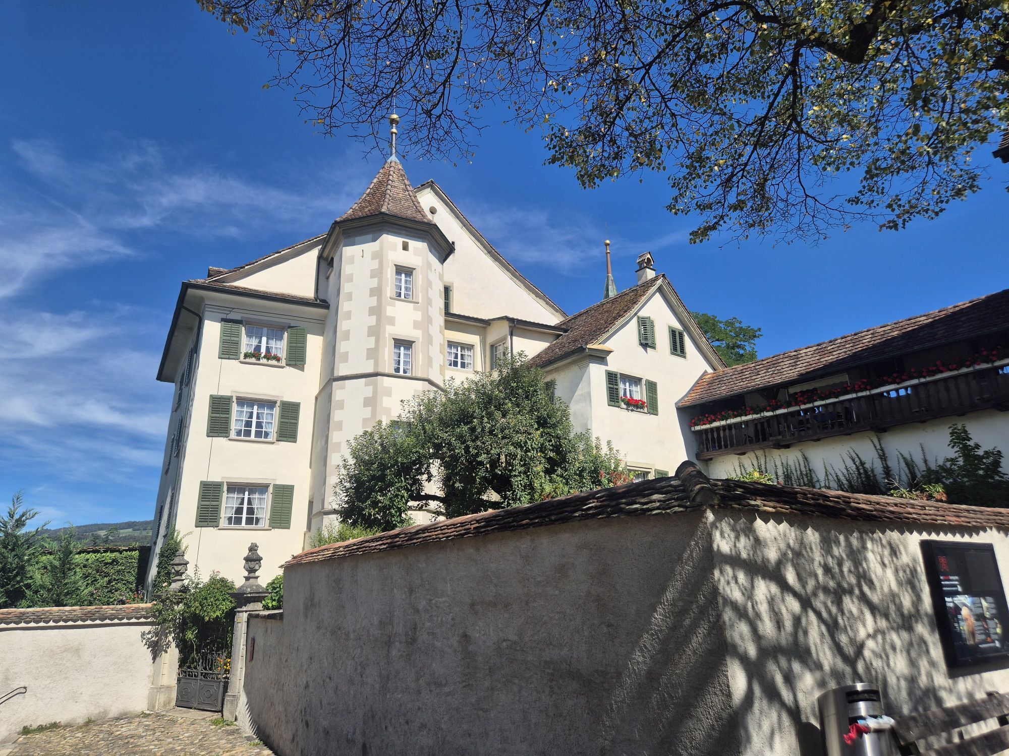
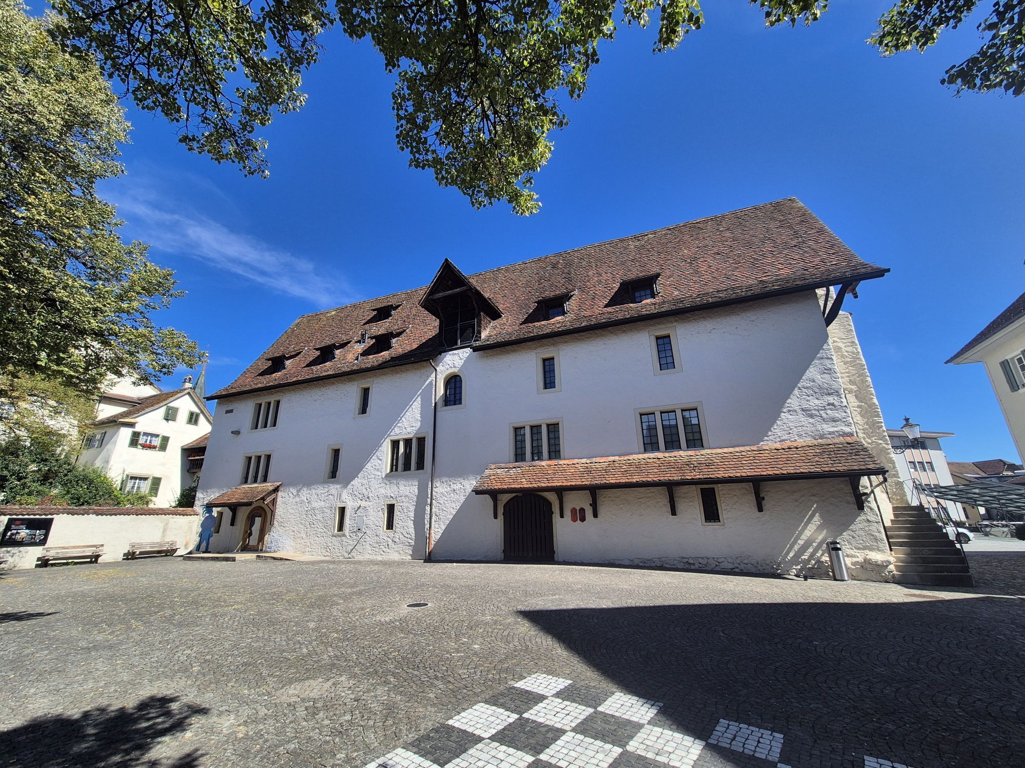
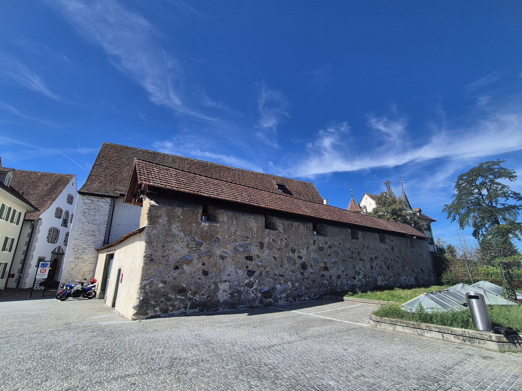
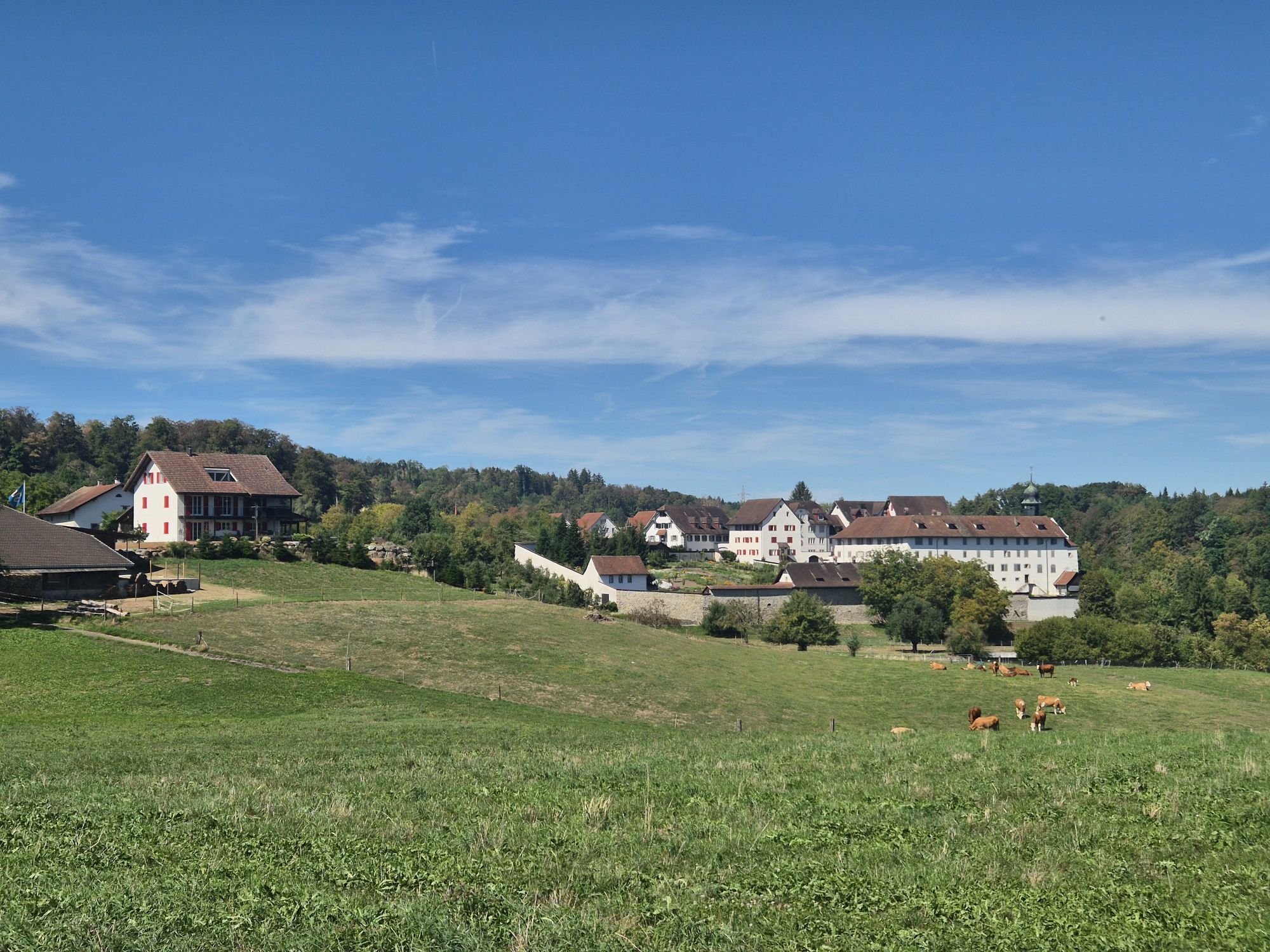
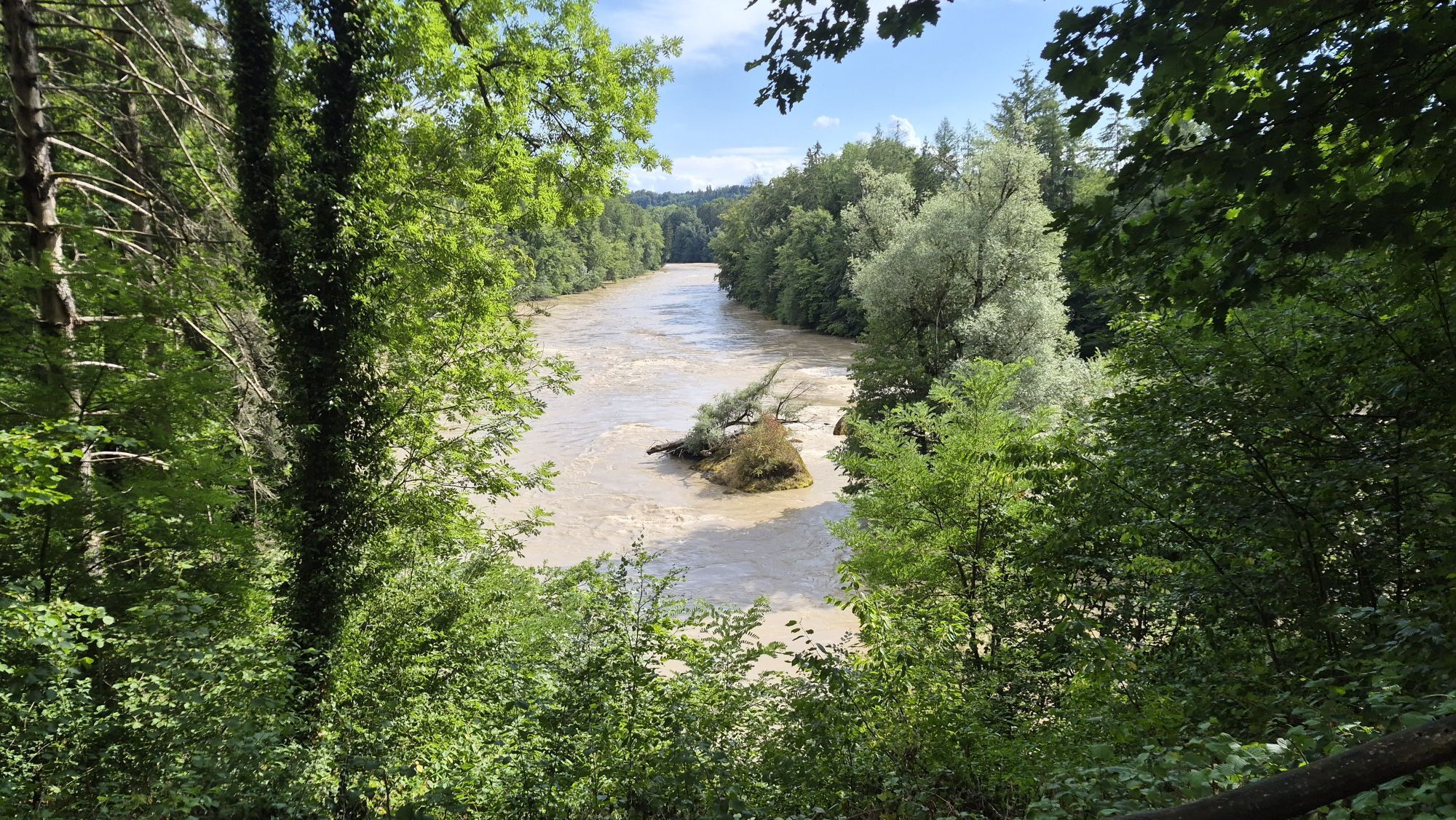
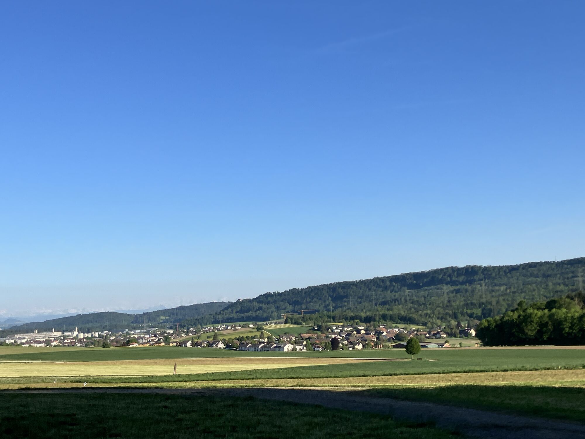
From the Frick valley, the route leads over the challenging hills of Jurapark Aargau, whose ascent is rewarded with magnificent panoramic views. The path passes through the old town of Aarau, enchanted...

Opis

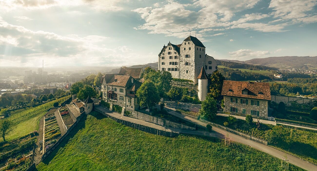
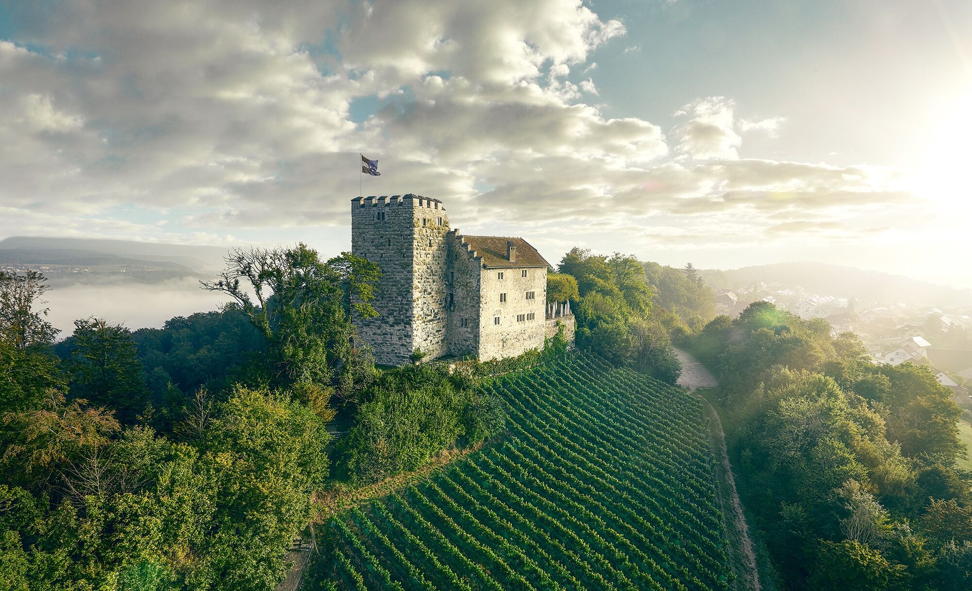
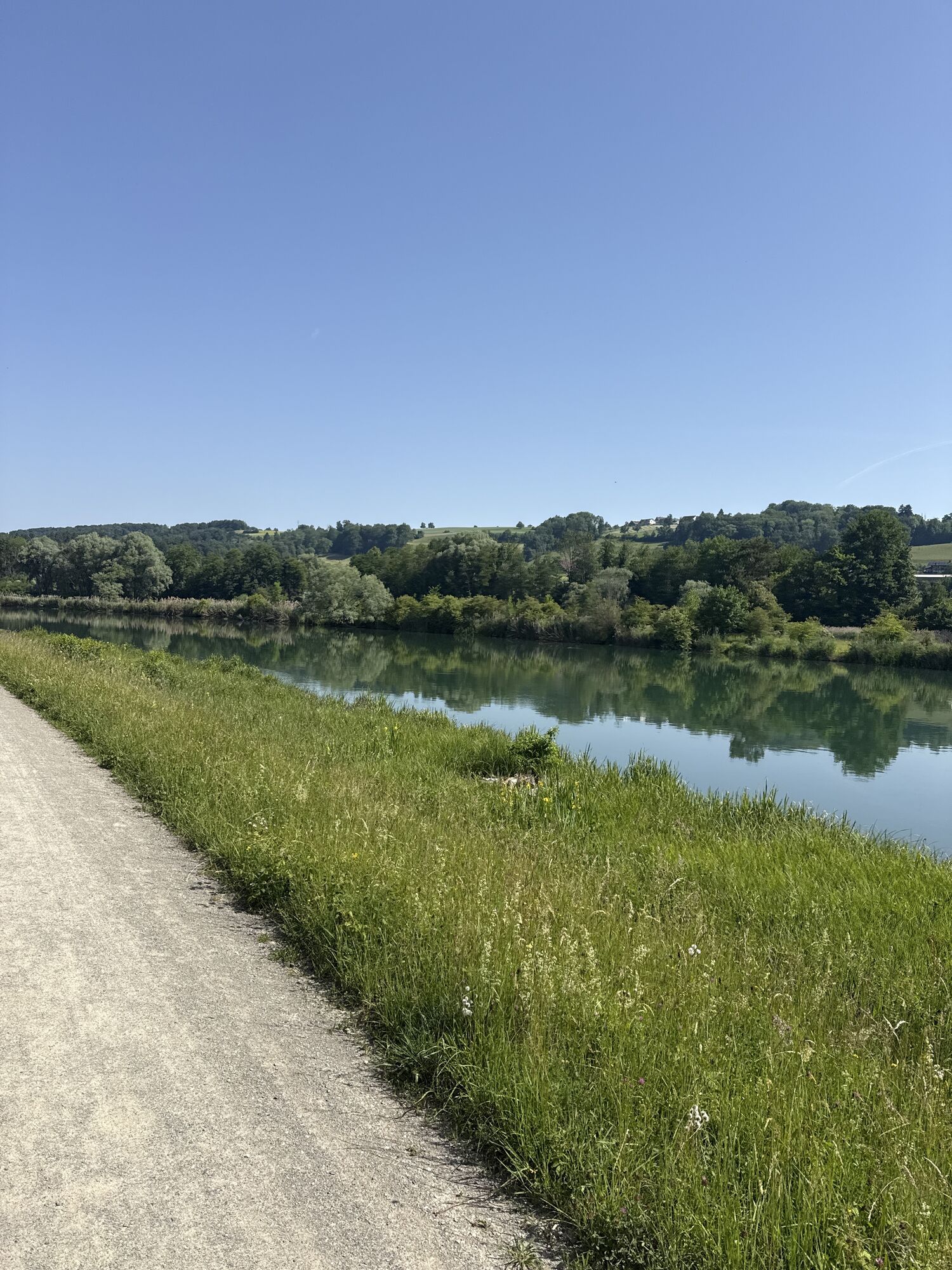
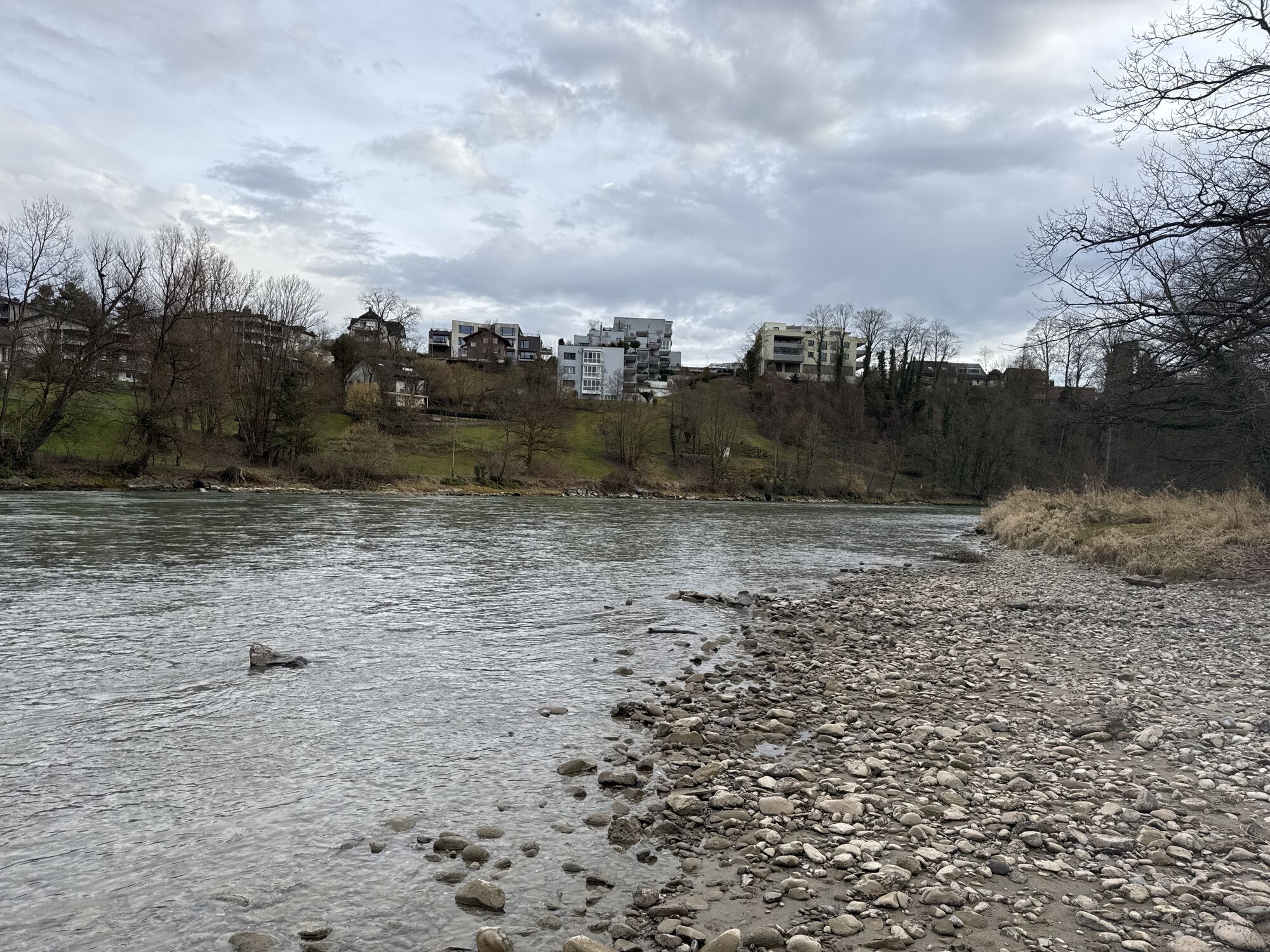
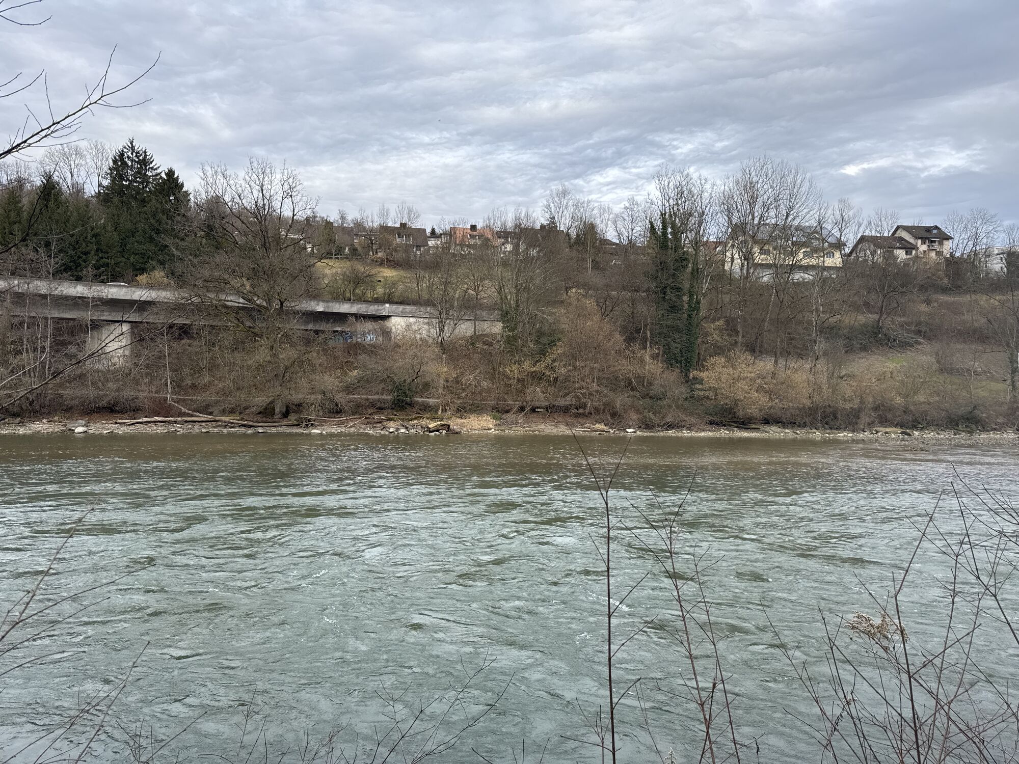
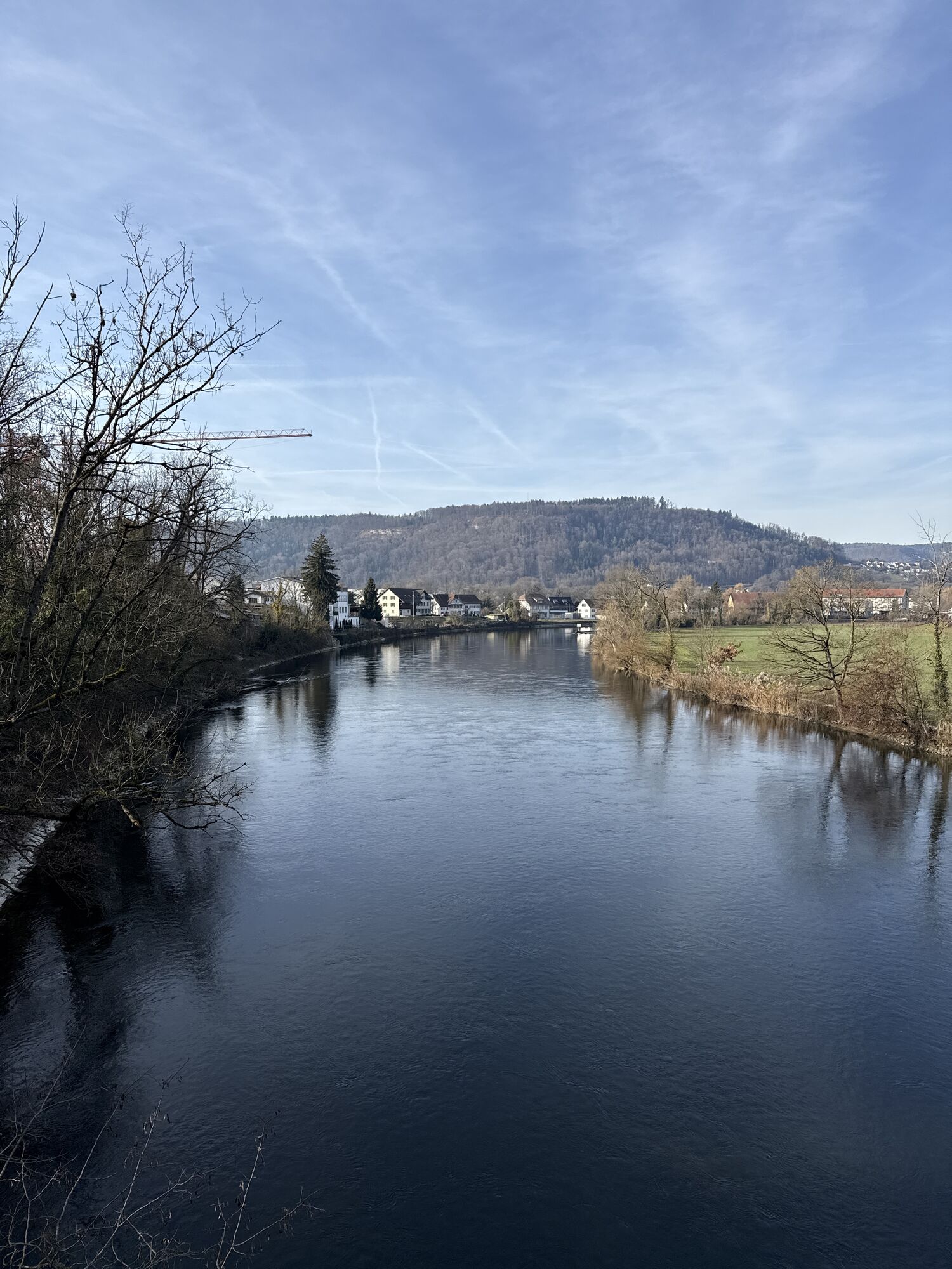
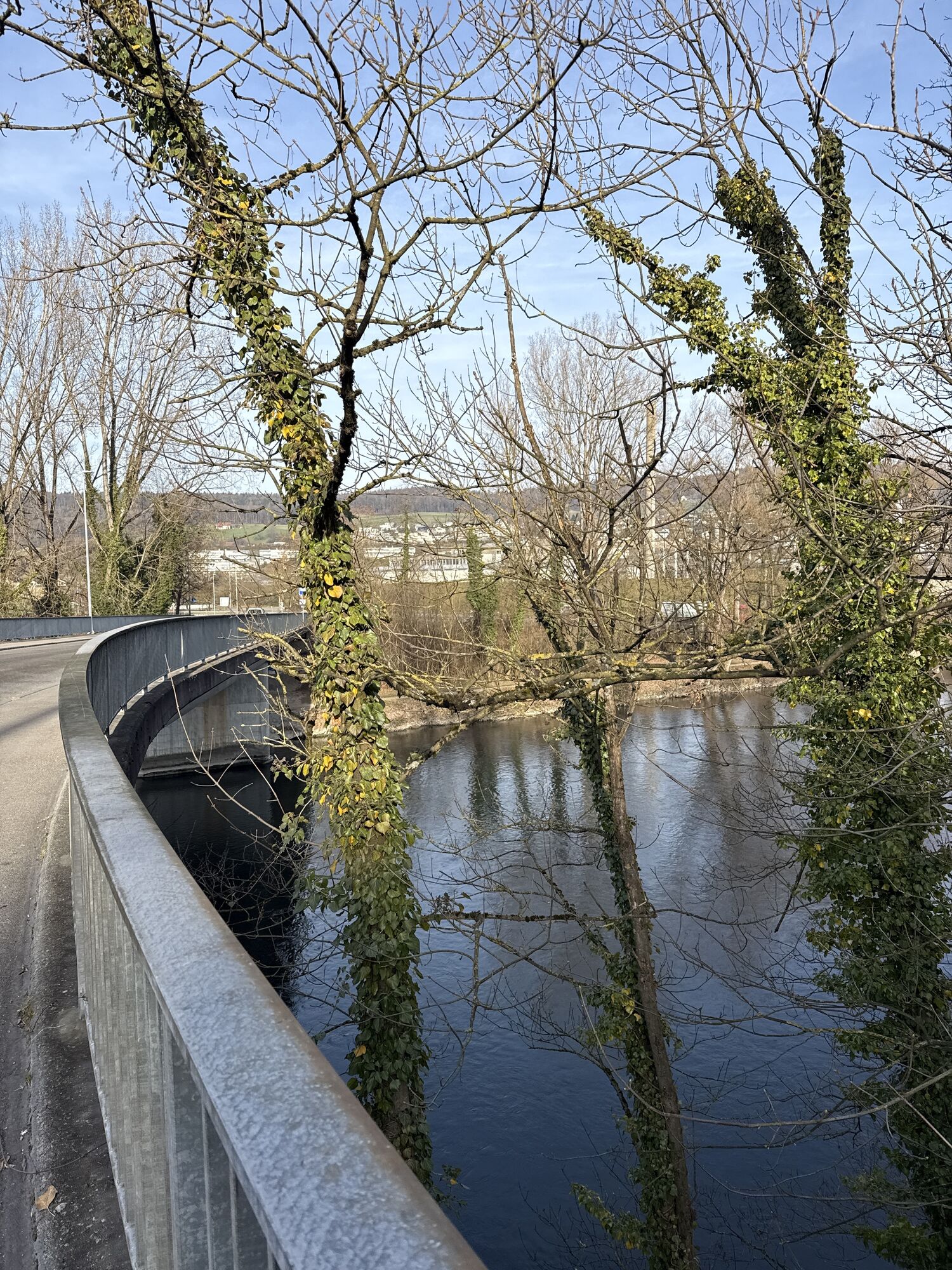
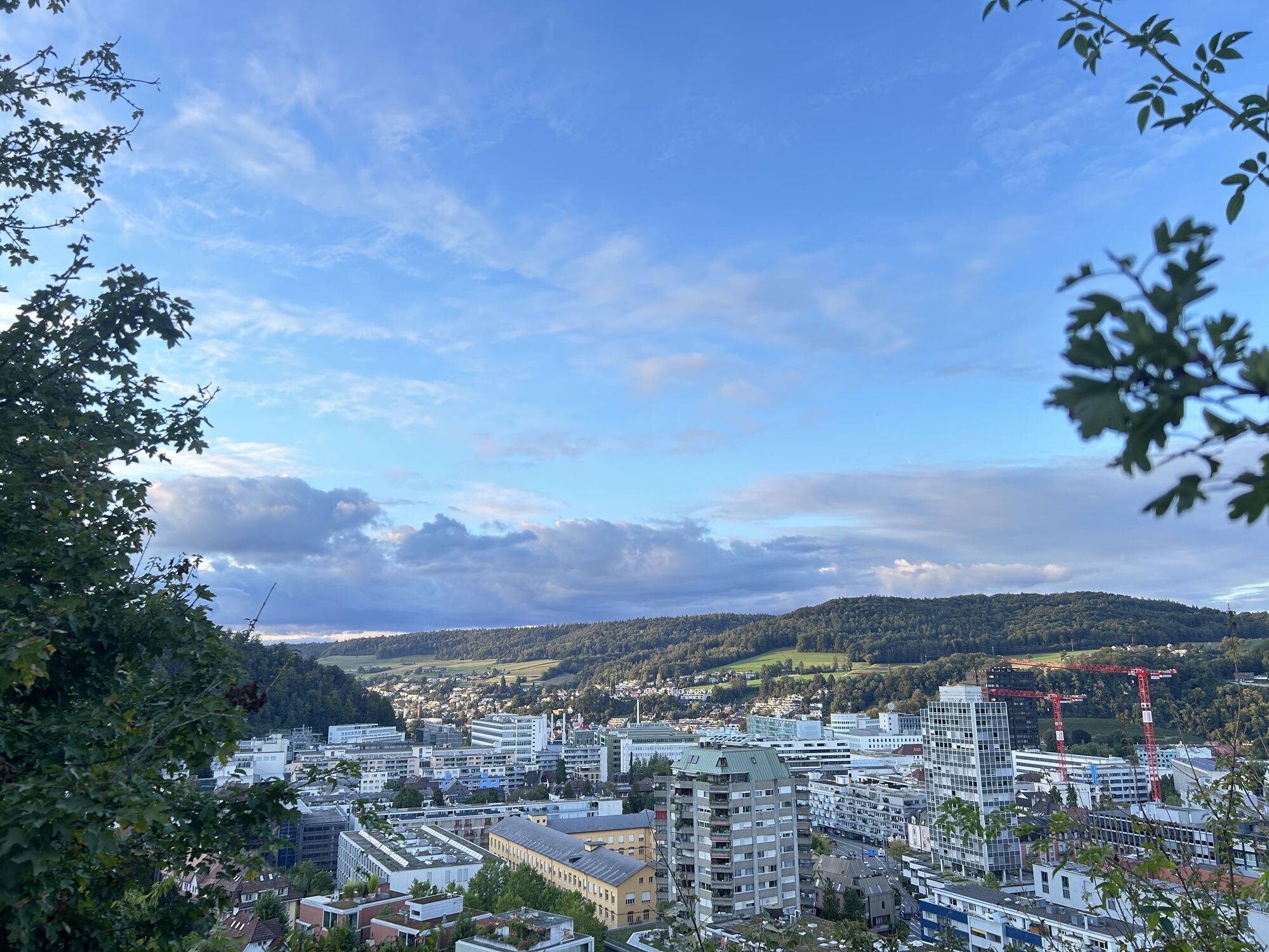
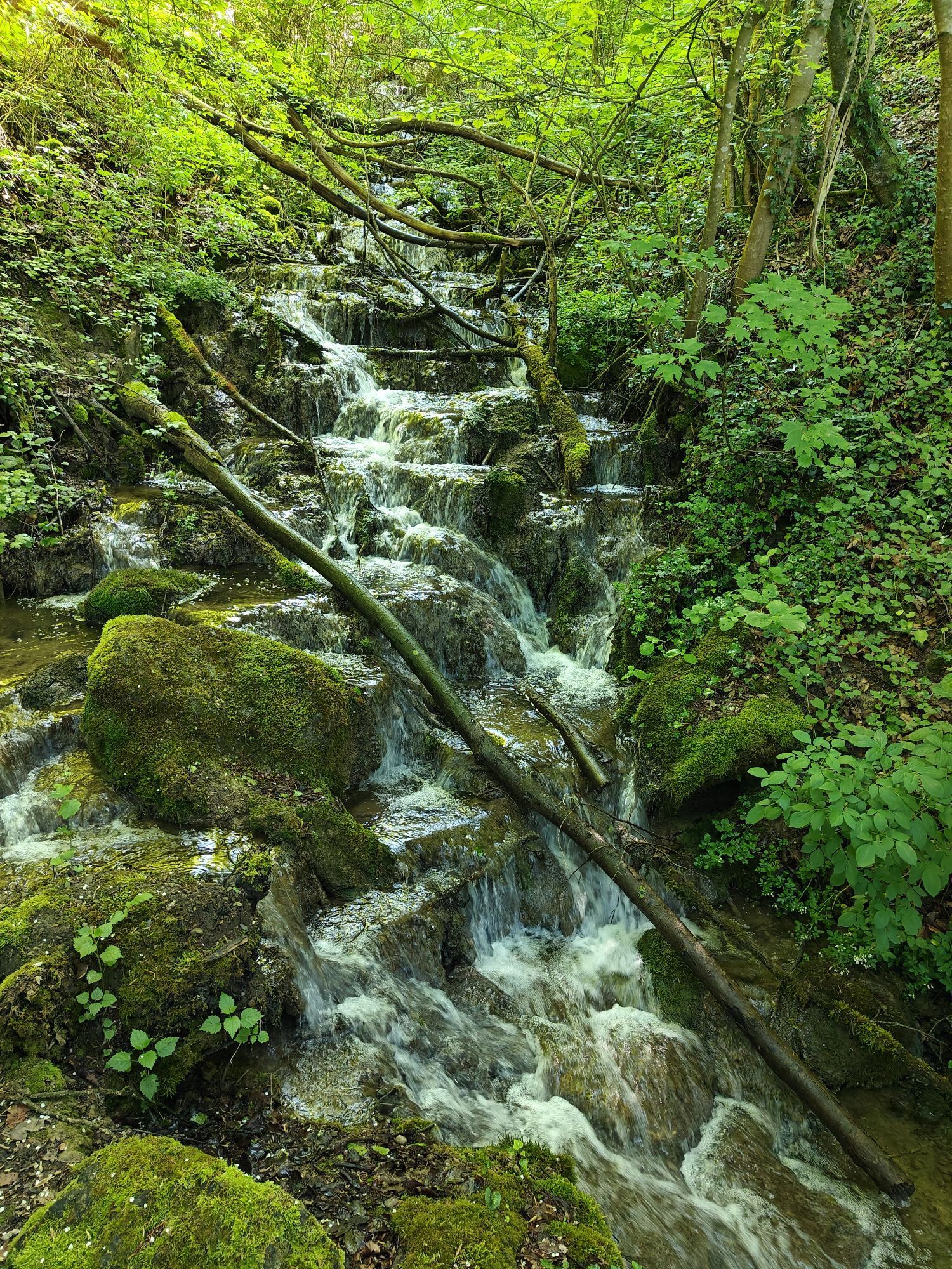
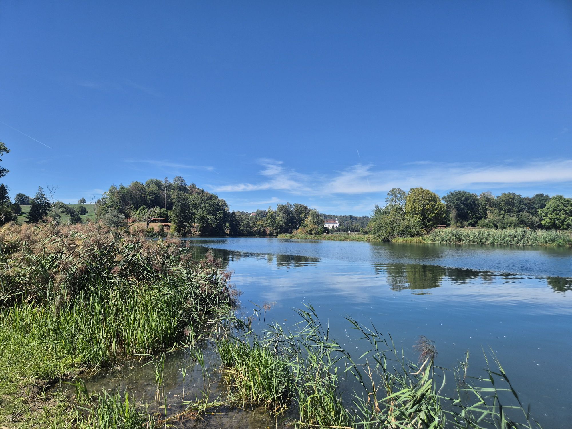
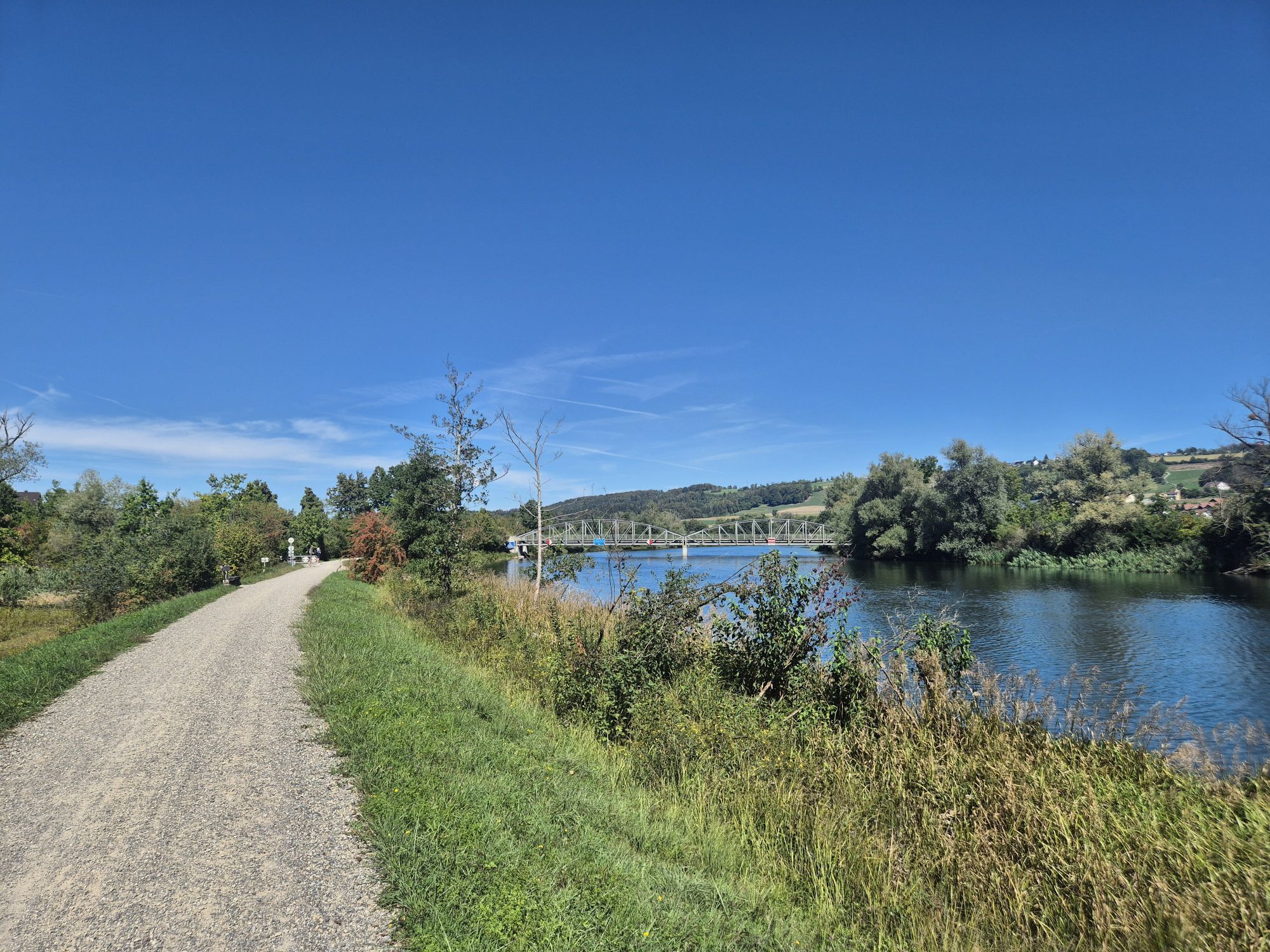
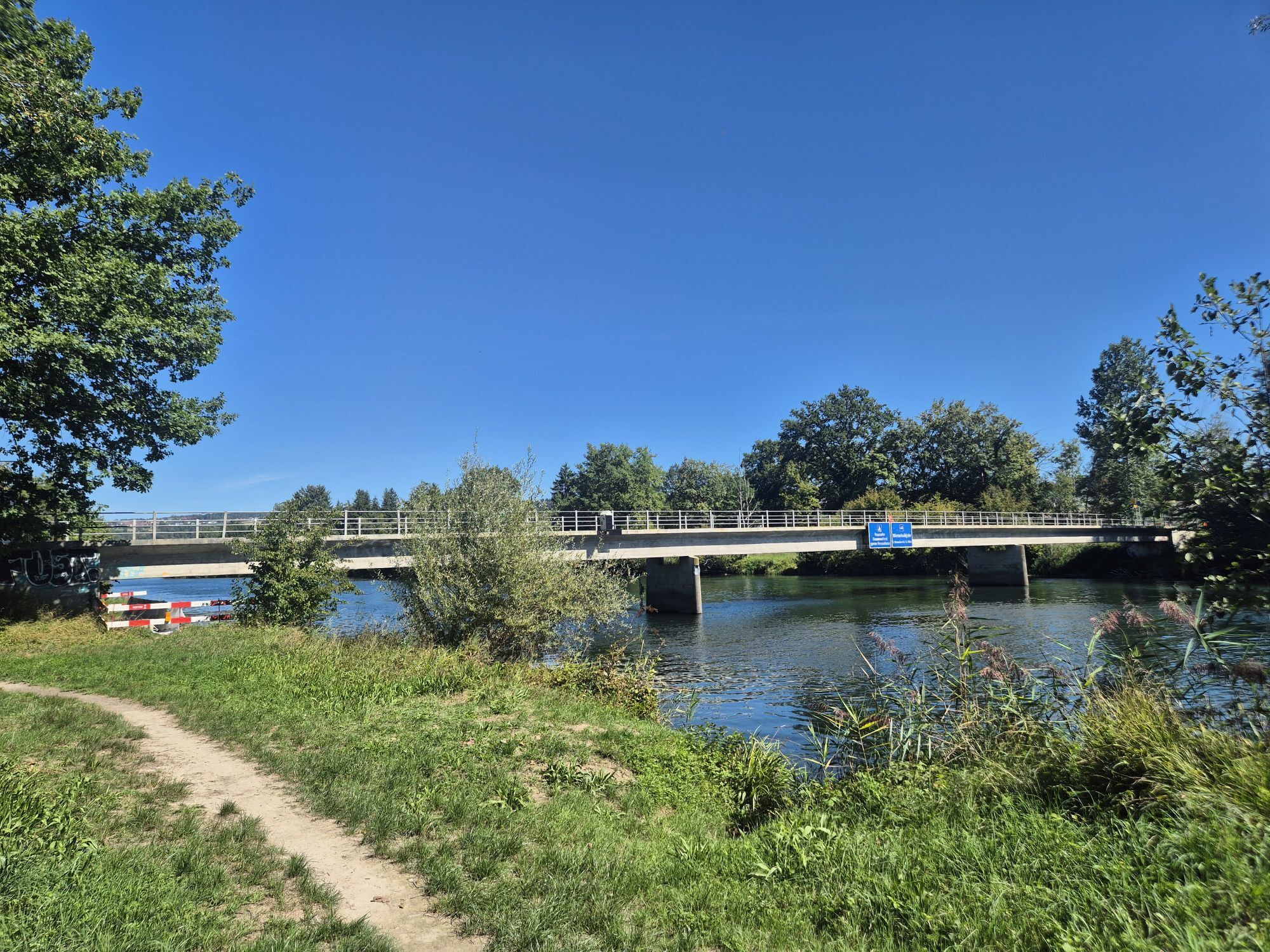
From the Frick valley, the route leads over the challenging hills of Jurapark Aargau, whose ascent is rewarded with magnificent panoramic views. The path passes through the old town of Aarau, enchanted by its unique roof gables. Along the Aare, the floodplain landscapes captivate. On the way to the "water castle of Switzerland", the confluence of the Aare, Reuss, and Limmat rivers, historical monuments like Wildegg Castle, Habsburg, and the Königsfelden Monastery impress. From Baden to the historic old town of Mellingen and up the Reuss, nature reveals itself in romantic forests, lush meadows, and dynamic floodplains.

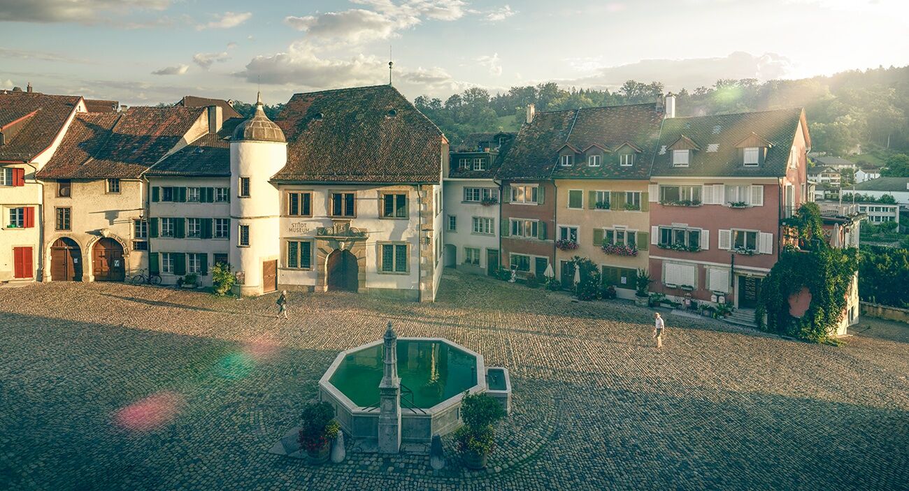
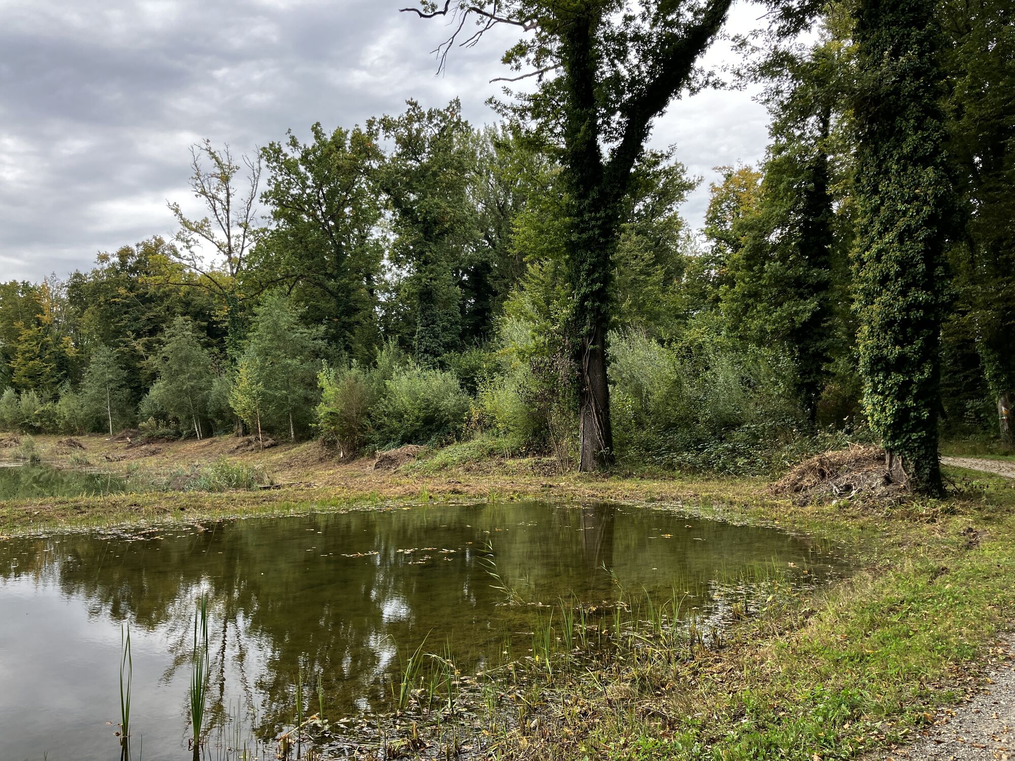
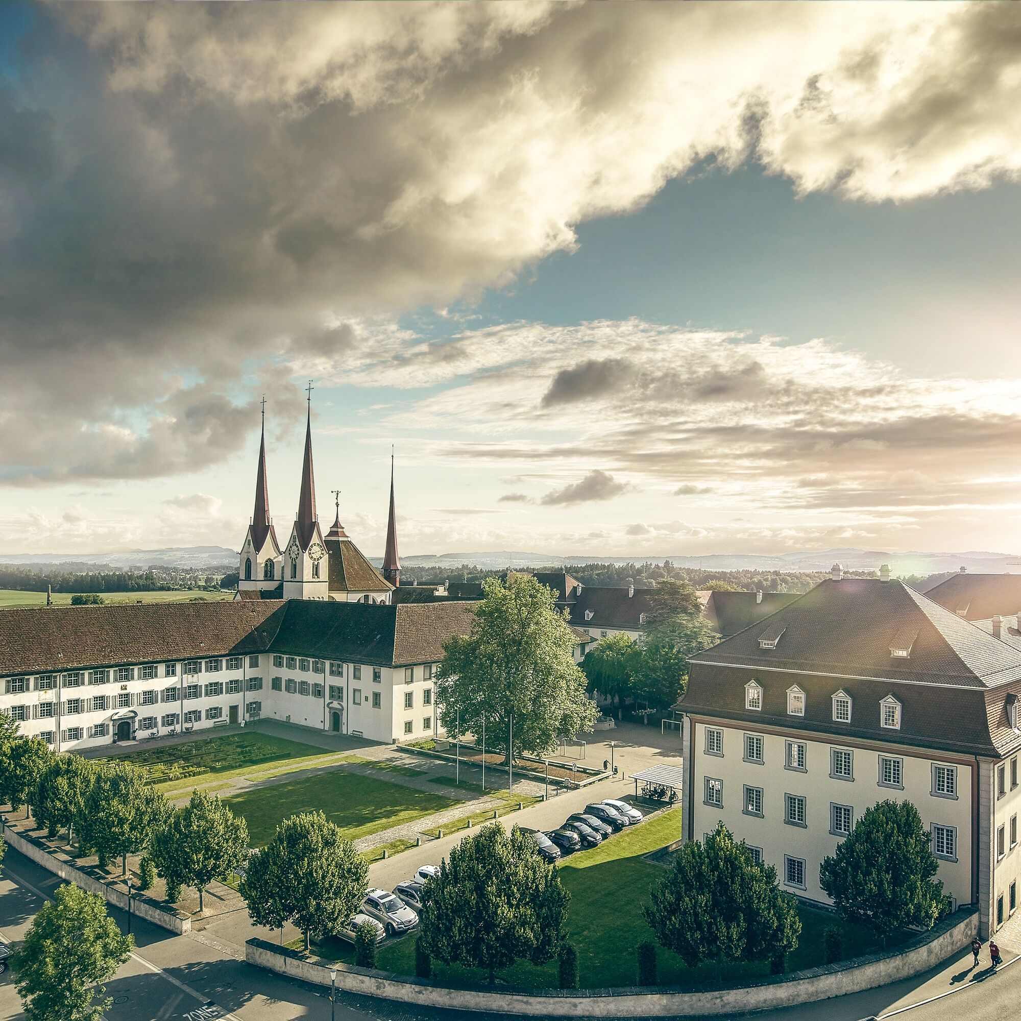
In the Habsburg town of Bremgarten, the charming alleys invite you for an exploration. The old town is surrounded on three sides by the Reuss and is one of the nationally significant cultural monuments. Marshlands and floodplain woods shape the landscape at Flachsee, and already from afar, one can see the impressive Benedictine monastery of Muri, where the Aargauer Weg ends.

Pot
Pot
Zemljevid
Aargauer Weg
srednja
Pohodništvo
101.90 km
Frick
(360 m)
Železniška postaja
0.0 km
Tiersteinberg
(750 m)
Vrh
6.3 km
Horn
(668 m)
Vrh
9.3 km
Lourdes Grotte
(530 m)
Vhod v jamo
10.1 km
Kirche St. Martin
(411 m)
Kraj čaščenja
11.4 km
Wittnau
(404 m)
Vas
11.5 km
Burgfluh
(790 m)
Pogled
17.1 km
Barm
(843 m)
Vrh
17.6 km
Räbenchopf
(875 m)
Vrh
18.2 km
Waldgasthaus Chalet Saalhöhe
(787 m)
Restavracija
19.6 km
Saalhöhe
(785 m)
Koridor/teren
19.6 km
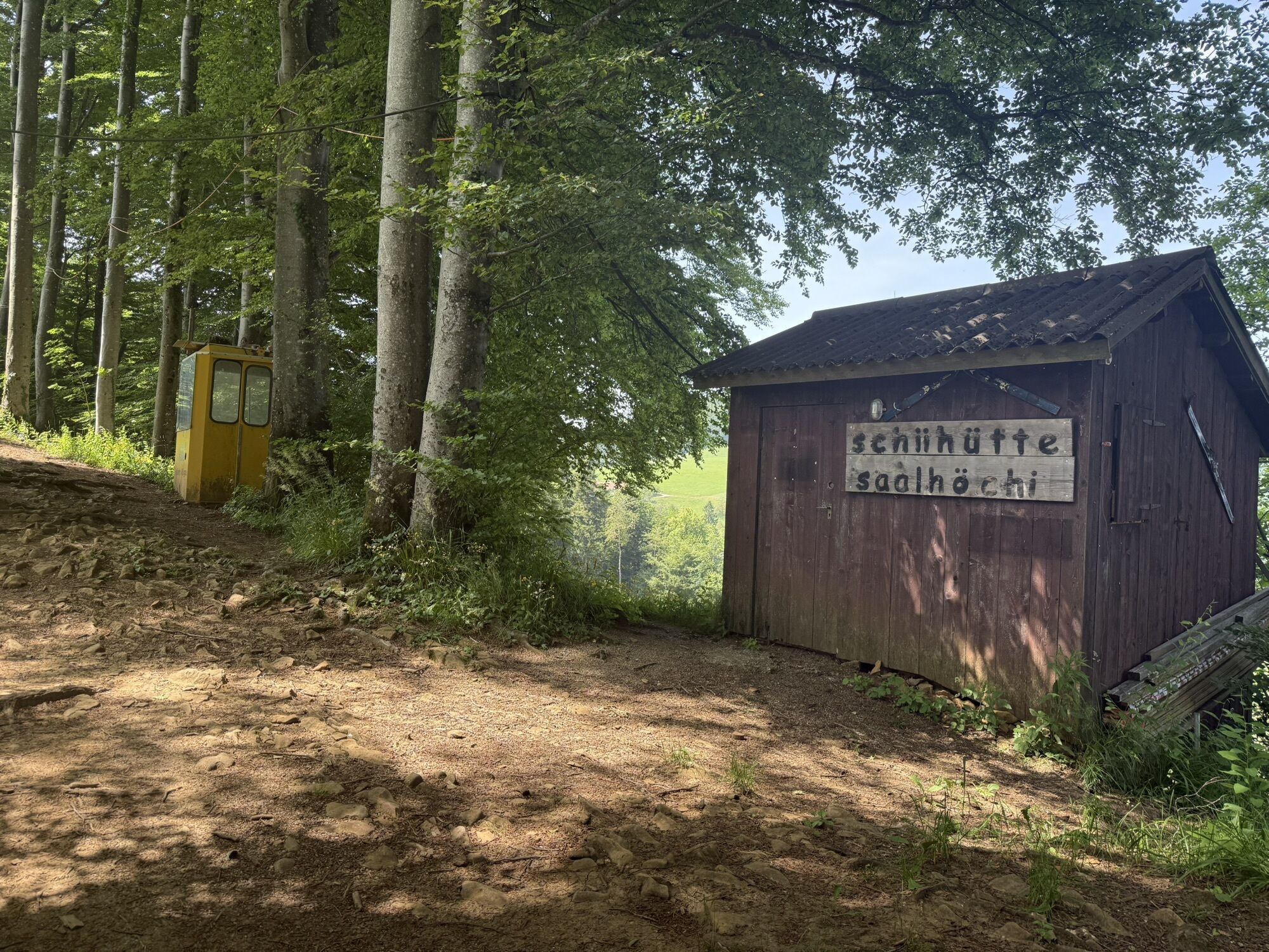
Schiihütte Salhöhe
(771 m)
Pogled
19.8 km
Salhöhe
(761 m)
Gorsko sedlo
20.0 km
Wasserflue
(844 m)
Vrh
22.5 km
Alpenzeiger
(451 m)
Pogled
28.6 km
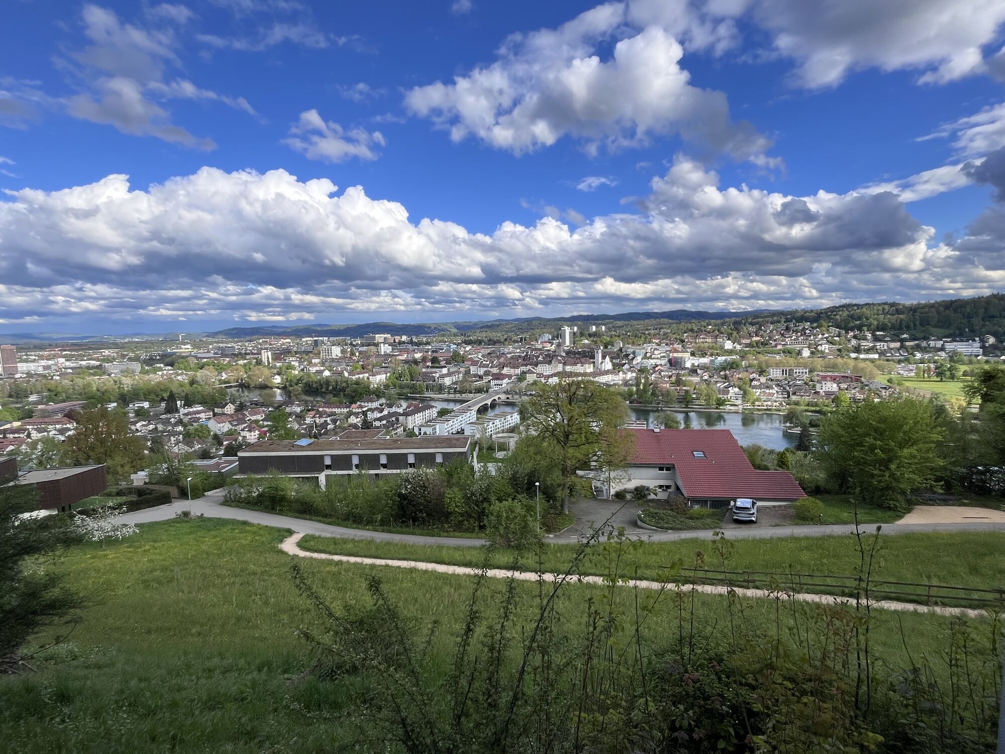
Aarau
(381 m)
Mesto
29.2 km
Scheibenschachen
(367 m)
Soseska
29.4 km
Telli
(365 m)
Soseska
30.3 km
Biberstein
(393 m)
Vas
33.5 km
Auenstein
(374 m)
Vas
38.0 km
Fahr
(361 m)
Poravnava
39.3 km
Wildegg
(354 m)
Železniška postaja
40.1 km
Schloss Wildegg
(430 m)
Vrh
41.4 km
Holderbank AG
(365 m)
Vas
41.9 km
Panorama Thalheim
(478 m)
Pogled
44.7 km
Schinznach Bad
(364 m)
Vas
46.1 km
Wülpelsberg (Habsburg)
(505 m)
Vrh
47.6 km
Schlossrestaurant Habsburg
(502 m)
Restavracija
47.7 km
Habsburg
(463 m)
Vas
48.1 km
Brugg
(352 m)
Železniška postaja
51.2 km
Neumarkt
(352 m)
Soseska
51.3 km
Brugg
(352 m)
Mesto
51.4 km
ICF Brugg
(352 m)
Kraj čaščenja
51.7 km
HeilBAR
(351 m)
Kraj čaščenja
51.8 km
Windisch
(361 m)
Vas
52.7 km
Gebenstorf
(376 m)
Vas
54.4 km
Aareschache
(330 m)
Koridor/teren
55.3 km
Vogelsang
(336 m)
Soseska
55.7 km
Geelig
(360 m)
Soseska
56.3 km
Untersiggenthal
(371 m)
Vas
56.7 km
Turgi
(337 m)
Vas
56.9 km
Turgi
(342 m)
Železniška postaja
57.1 km
Gebenstorfer Horn
(513 m)
Pogled
58.7 km
Münzlishausen
(535 m)
Soseska
61.9 km
Baldegg
(560 m)
Poravnava
62.2 km
Liegehalle Beizli
(565 m)
Restavracija
62.4 km
Allmend
(471 m)
Soseska
63.5 km
Burgkapelle St. Nikolaus
(431 m)
Kraj čaščenja
64.4 km
Baden
(381 m)
Mesto
64.5 km
Wettingen
(395 m)
Mesto
65.4 km
Fislisbach
(426 m)
Vas
70.6 km
Mellingen
(350 m)
Vas
73.4 km
Lochbündten
(355 m)
Koridor/teren
75.8 km
Gnadenthal
(356 m)
Poravnava
77.5 km
Fähre Sulz
(356 m)
Pristanišče za trajekte
81.4 km
Rohrhof
(360 m)
Restavracija
81.5 km
Eggenwil
(379 m)
Vas
84.2 km
Bremgarten
(386 m)
Mesto
87.1 km
Gizlen
(388 m)
Poravnava
97.2 km
Althäusern
(423 m)
Vas
98.1 km
Hasli
(450 m)
Poravnava
100.6 km
Muri
(472 m)
Vas
101.7 km
Klosterhof
(457 m)
Soseska
101.8 km
Muri
(459 m)
Železniška postaja
101.8 km
Informacije o turneji

Magnificent views over the foothills of the Jura and cozy riverside paths in the river-adjacent floodplain areas contrast with castles, monasteries, and historic old towns.

Tehnologija
n.a.
Stanje
3 / 6
Pokrajina
6 / 6
Izkušnje
6 / 6
Dostopno vse leto
Jan
Feb
Mar
Apr
Maj
Jun
Jul
Avg
Sep
Okt
Nov
Dec
Avtor
Zagotavlja Aargau Tourismus
Za ogled Aargauer Weg poskrbi outdooractive.com.
Logo
Skupna turneja
Zemljevid
Aargauer Weg
srednja
Pohodništvo
101.90 km
Napaka
Zgodila se je napaka. Prosimo, poskusite znova.
Pohodništvo in sledenje

Pohodništvo in sledenje

Pohodništvo in sledenje
Zaradi več kot 550.000 predlogov izletov, podrobnih zemljevidov in intuitivnega načrtovanja poti je aplikacija obvezna oprema za vse ljubitelje narave.
bergfex