


Geopath horse art
Stopnja težavnosti: T1


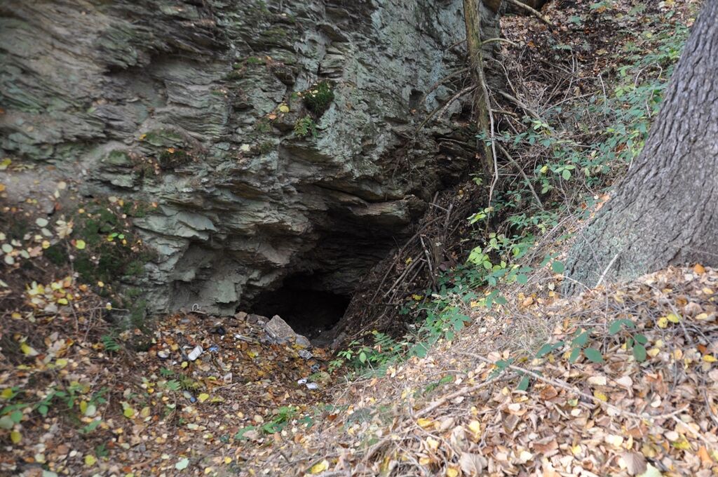
The hiking trail starts at at the Saalebrücke Harra bridge. Cross the bridge and after approx. 250 meters you will see an open tunnel at the bottom left of the old road. The opening is approx. 0.7 m wide...
The hiking trail starts at at the Saalebrücke Harra bridge. Cross the bridge and after approx. 250 meters you will see an open tunnel at the bottom left of the old road. The opening is approx. 0.7 m wide and 30 cm high. After the mouth, the tunnel rises to 1.20 m and 0.70 m wide. From here you can get an overview of the mine.
The route continues uphill. About 50 m after the start of the forest, you will see old tracks in the undergrowth on the left, which used to be used by carts and were moved sideways two or three times when they were driven in.
After the incline, there is an old piste on the right with a spring. The old tunnel supplies the "Haus am Wald" farmstead with drinking water from here.
We come to a crossroads with 4 outgoing paths. After approx. 250 m, on the left-hand path , there is a fenced-in memorial stone with 3 crosses and the year 1779. It is reasonable to assume that an adult and two children died here (lightning strike or accident).
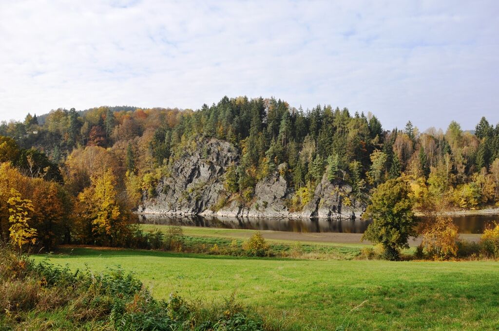
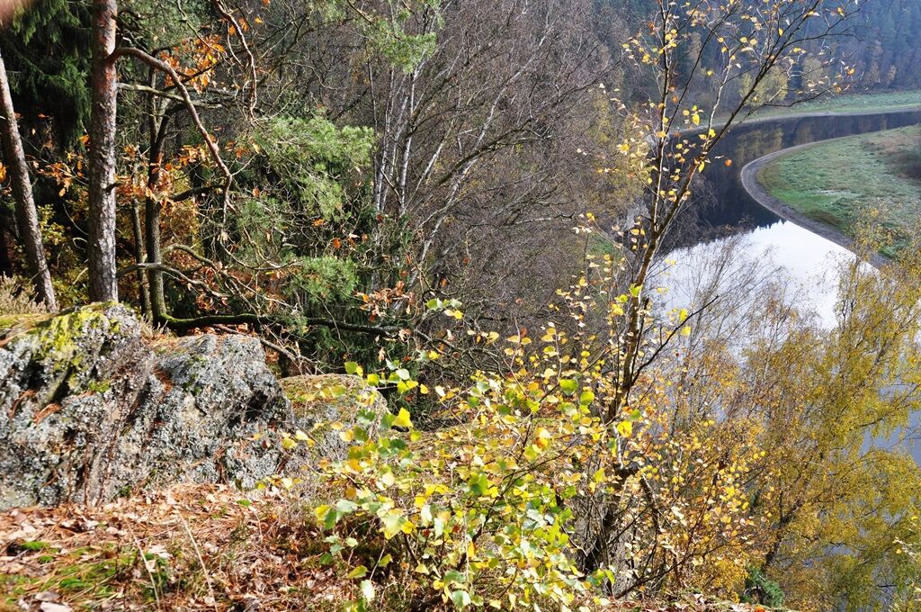
Back on the circular path, the Hundszug and Roßkunst pens extend over a larger area to the right and left. The Roßkunst consists of a large slag heap, a winding shaft, a driving shaft and a winding shaft from which water was drawn. You can also see a dam, on which there was a chimney. There is a light and air hole under the water shaft. 100 m further down the valley is the Roßkunst heritage gallery.
The Hundszug pothole to the left of the path is characterized by large potholes in the dense wood.
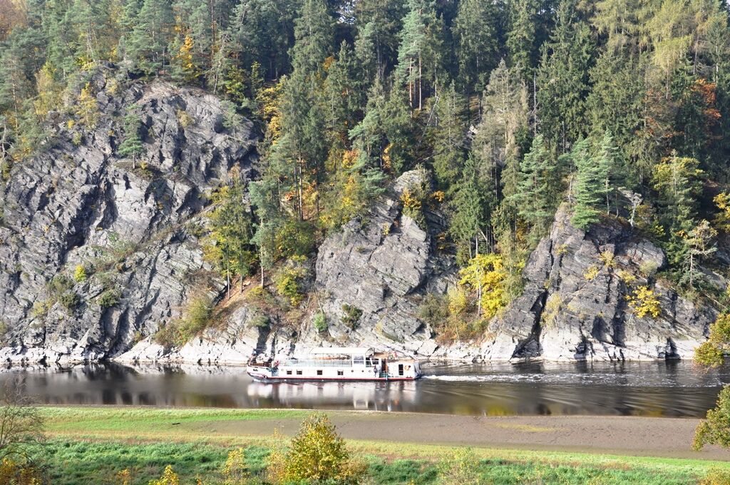
After another 3 km, turn left onto the path along the Galgersbach stream towards the valley. After approx. 1 km, following the stream, lies the Kluft mine with the Sechse and Hornzug caves. They are characterized by numerous pings and large dumps that mark the valley floor to the right and left. On the banks of the Saale is the Kluft mine adit, which is visible, but in which the water is approx. 80 cm high. It goes about 150 m deep into the mountain.
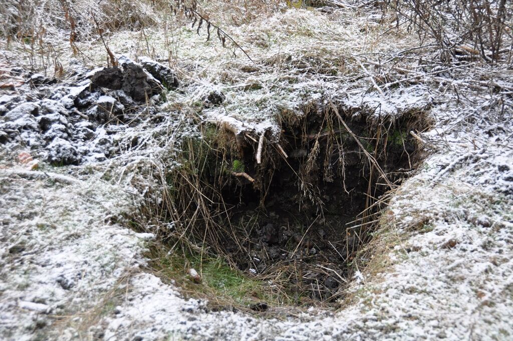
Below the Harra tree nursery we find the open mouth of an old mine behind a broken rock. You can see groyne holes in the rock, which indicate active mining.
We hike back over the bridge to Harra. In the retaining wall of the castle garden is the entrance to the former storage cellar of the Harra manor.

The marking of the path is currently being revised.
Da
Da
Sturdy shoes
Rainwear
First aid kit
GPS navigation device or smartphone
uhwerk is highly recommended
Be aware of the typical dangers of the forest!
Walk at your own risk!
Arrival possible by bus and train, distance to train station approx. 400m
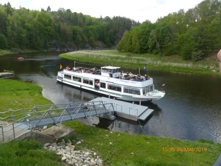
Arrival possible by passenger boat from Saalburg/Saaldorf.
Restriction: Due to the lowering of the water level of the reservoir, there may be changes in the timetables.
Free parking directly at the starting point.
Charging facilities for e-bikes
T1
Priljubljeni izleti v okolici
- 4,5
Ancient Forest Trail Hirschberg - Thuringian Primeval Forest Trails "Urwaldpfade"
svetlobaPohodništvo2,80 km - 5,0
Saalepfad - circular hike along the Green Belt
težkoPohodništvo34,8 km Rund um Schloss Burgk
svetlobaPohodništvo7,04 kmHike - Rennsteig - Stage 8 - From Brennersgrün to Blankenstein
srednjaPohodništvo20,8 kmCircular hiking trail - Mushroom Experience Trail Gräfenwarth - Thuringia
srednjaPohodništvo5,48 km- 3,0
Höllental über Hirschsprung und unten wieder zurück
srednjaPohodništvo9,61 km - 5,0
Wasserläufer: Rundwanderung "Burgksteig"
Pohodništvo6,96 km Von Saaldorf zum Marienstein
svetlobaPohodništvo9,41 kmWandern rund um Harra und Mühlberg
svetlobaPohodništvo6,55 kmHike - "Green Belt Thuringia" - Stage 1
težkoPohodništvo64,0 km
Pohodništvo in sledenje


Ne zamudite ponudb in navdiha za naslednje počitnice
Vaš e-poštni naslov je bil dodan na poštni seznam.