


Rennsteig stage run - 1st stage Hörschel - Grenzwiese
Stopnja težavnosti: T2


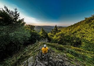
Fotografije naših uporabnikov
-
 © MaG66Ustvarjeno na 27.10.2024
 -
 © Steffen SchusterUstvarjeno na 24.07.2023
 -
 © Steffen SchusterUstvarjeno na 24.07.2023
 -

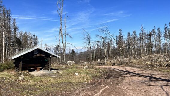
 © Christian TäubelUstvarjeno na 18.03.2023
 -
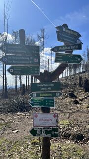
 © Christian TäubelUstvarjeno na 18.03.2023
 -
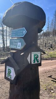
 © Christian TäubelUstvarjeno na 18.03.2023
 -
 © Christian TäubelUstvarjeno na 18.03.2023
 -
 © Christian TäubelUstvarjeno na 18.03.2023
 -
 © Christian TäubelUstvarjeno na 18.03.2023
 -
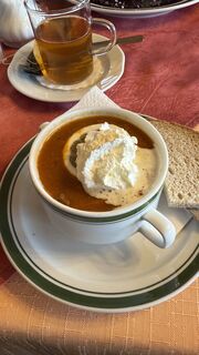
 © Marco SchützUstvarjeno na 05.06.2022
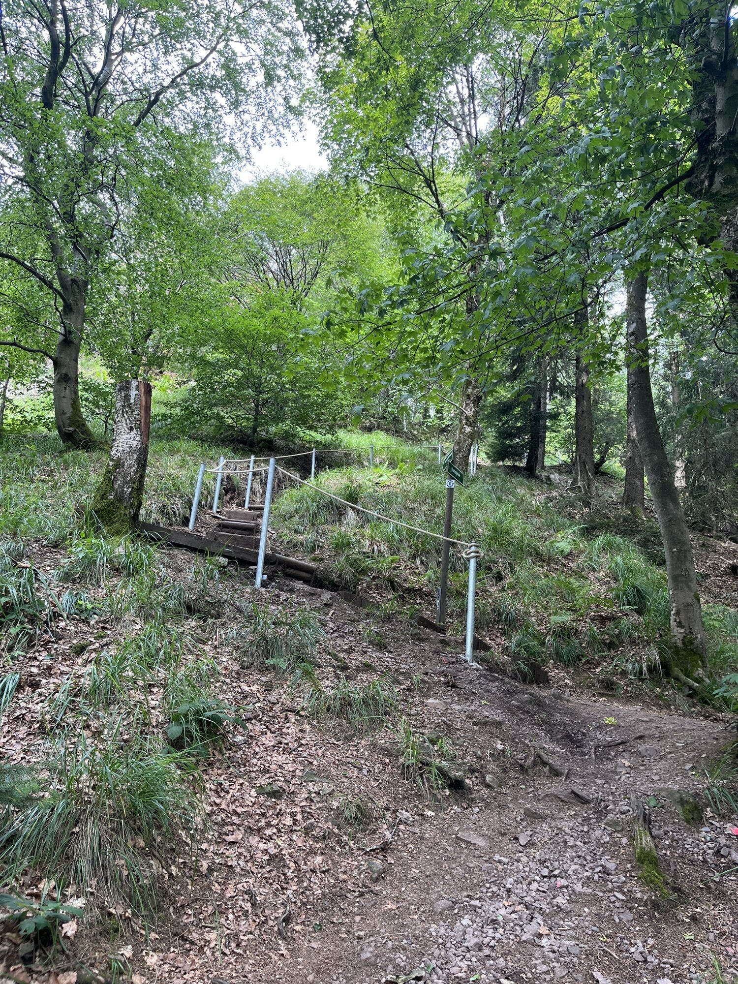


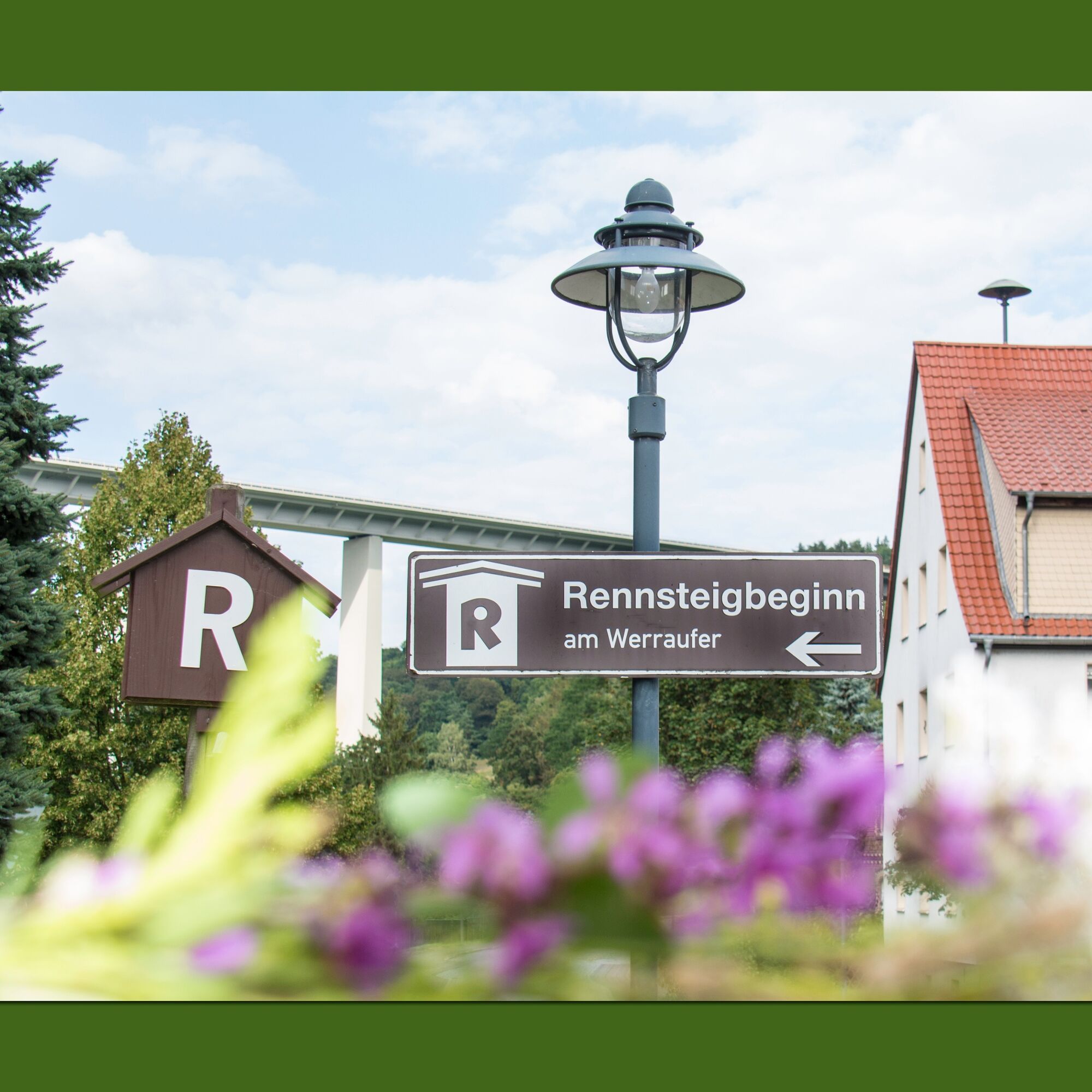
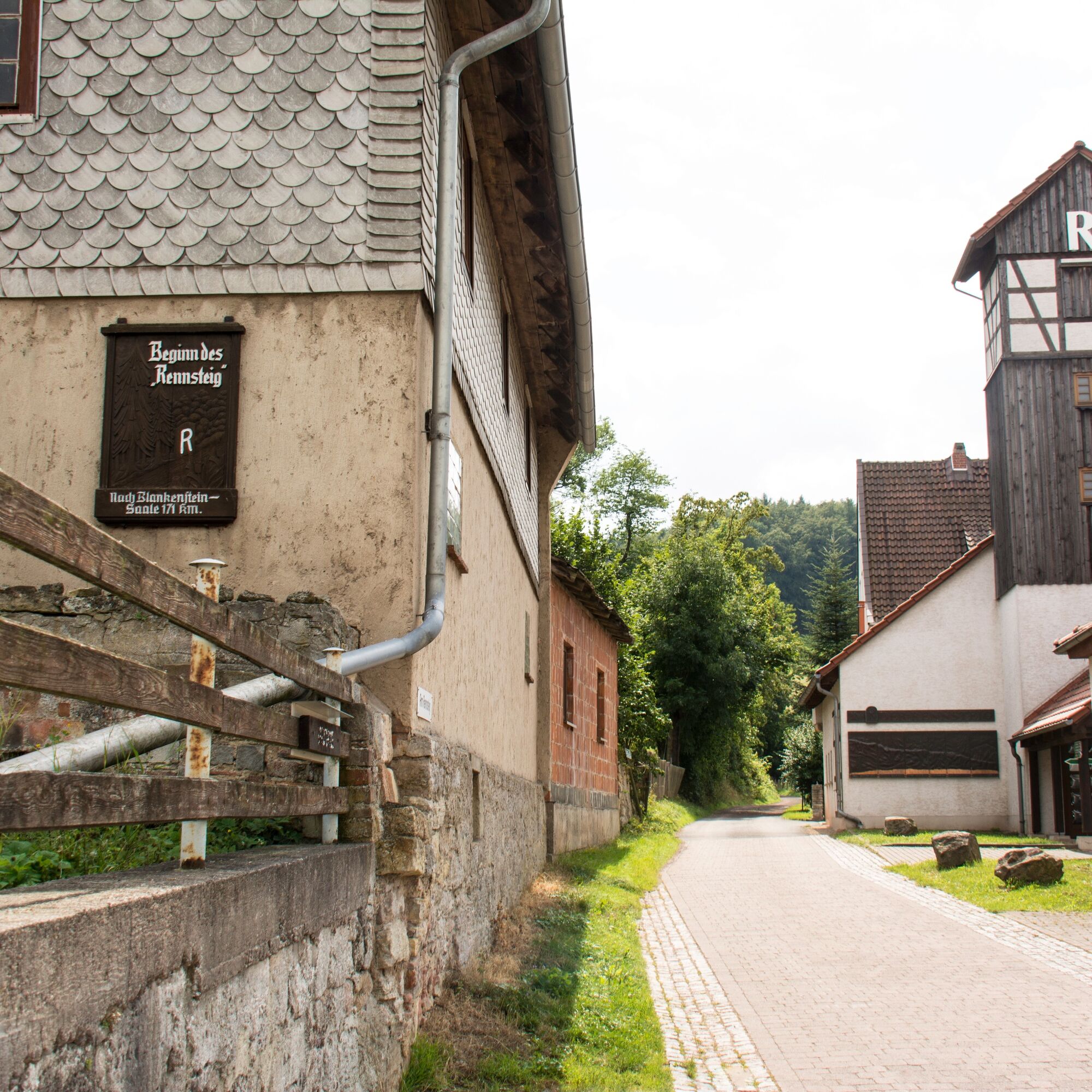
The Rennsteig start is located just above the mouth of the Hörsel into the Werra in the Eisenach district of Hörschel in the courtyard of the hiking inn "Tor zum Rennsteig". The place, only 196 m above...
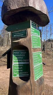
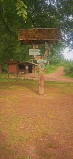
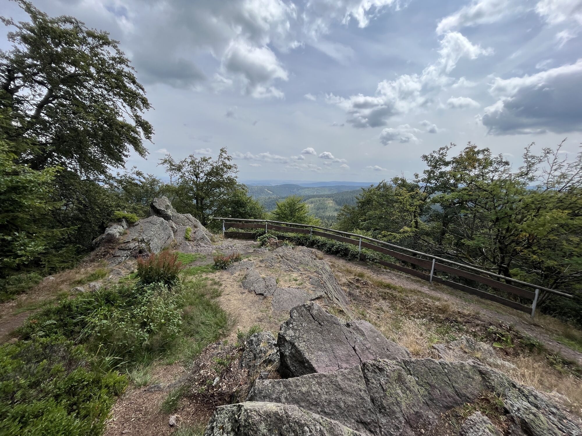
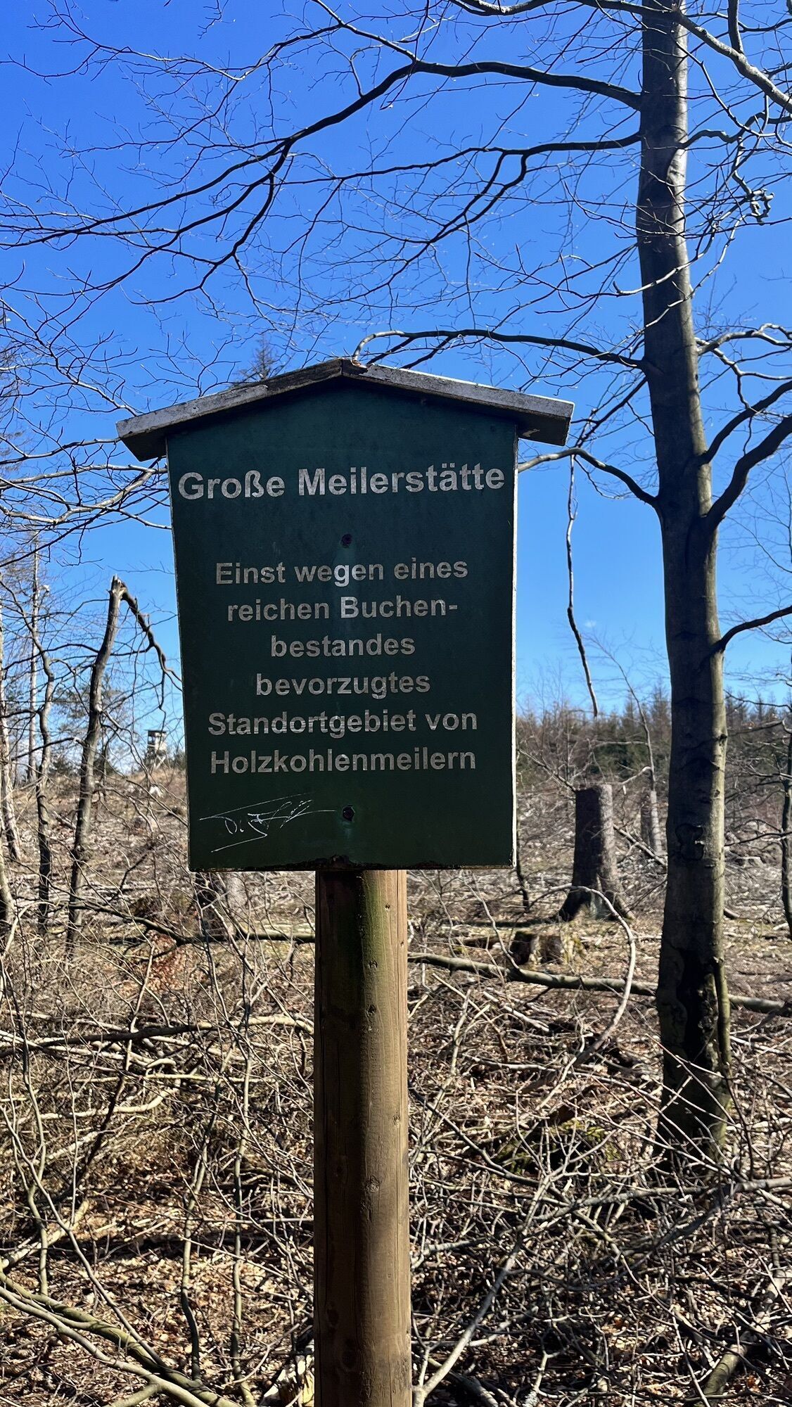
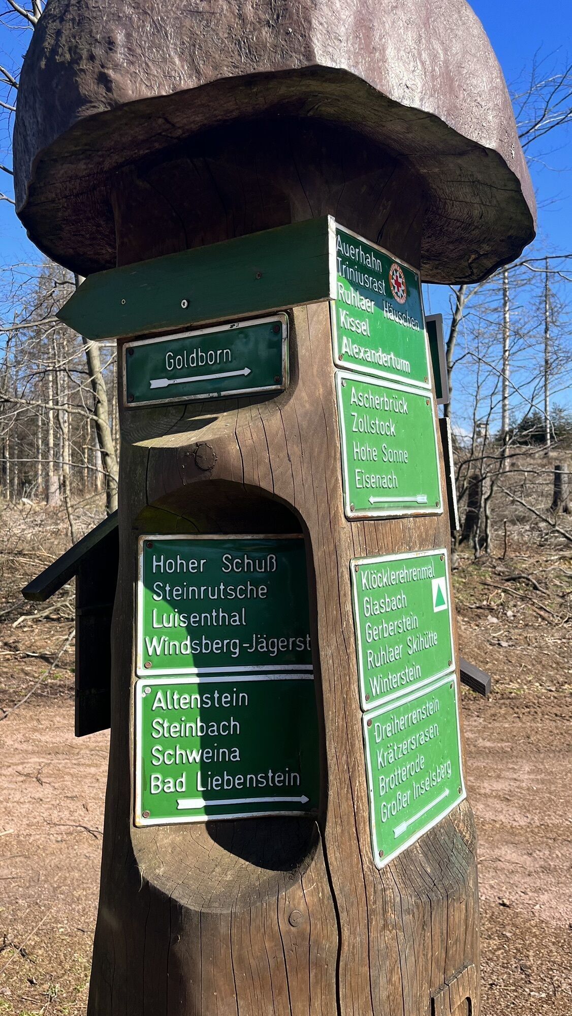
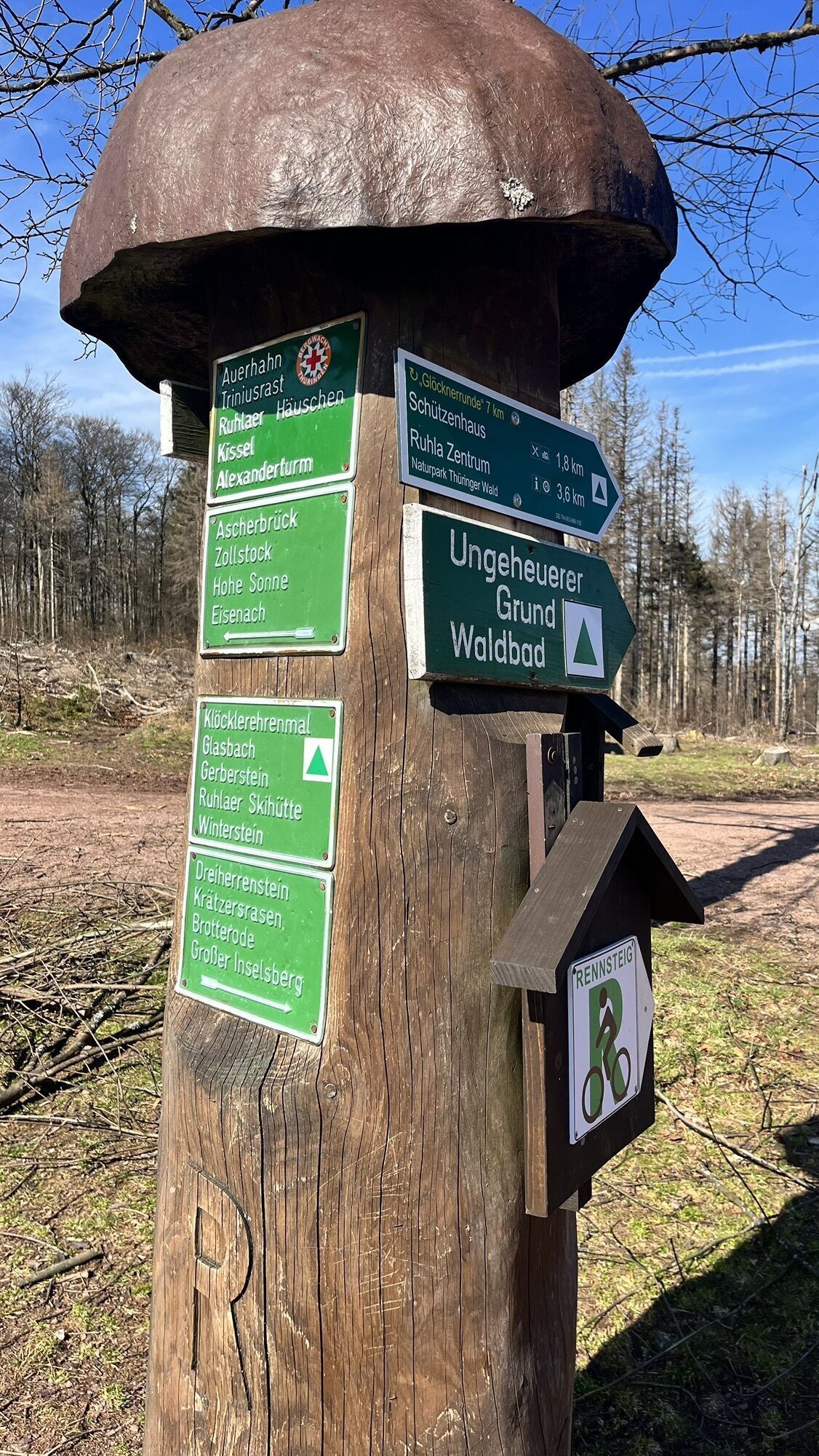
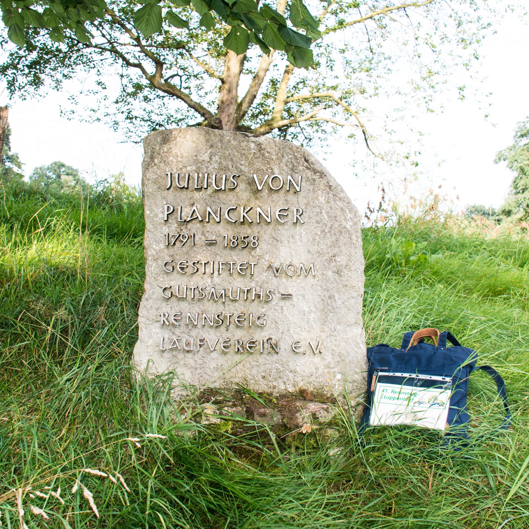
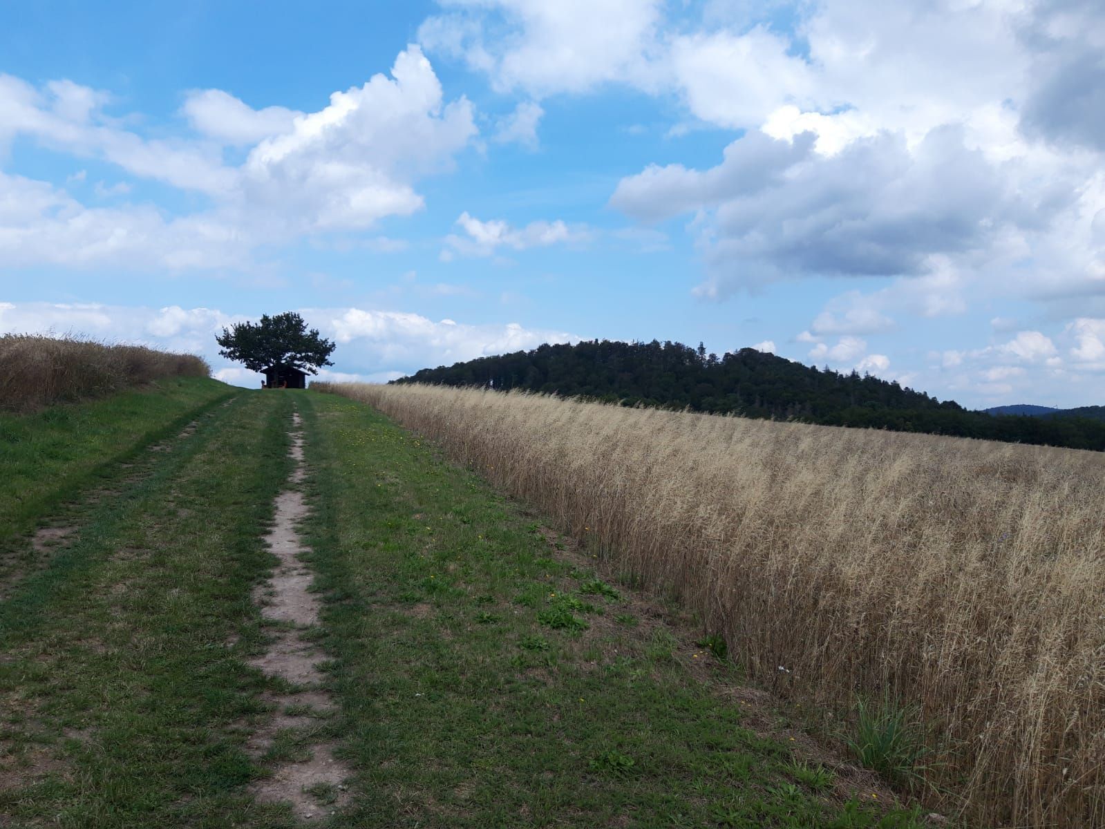
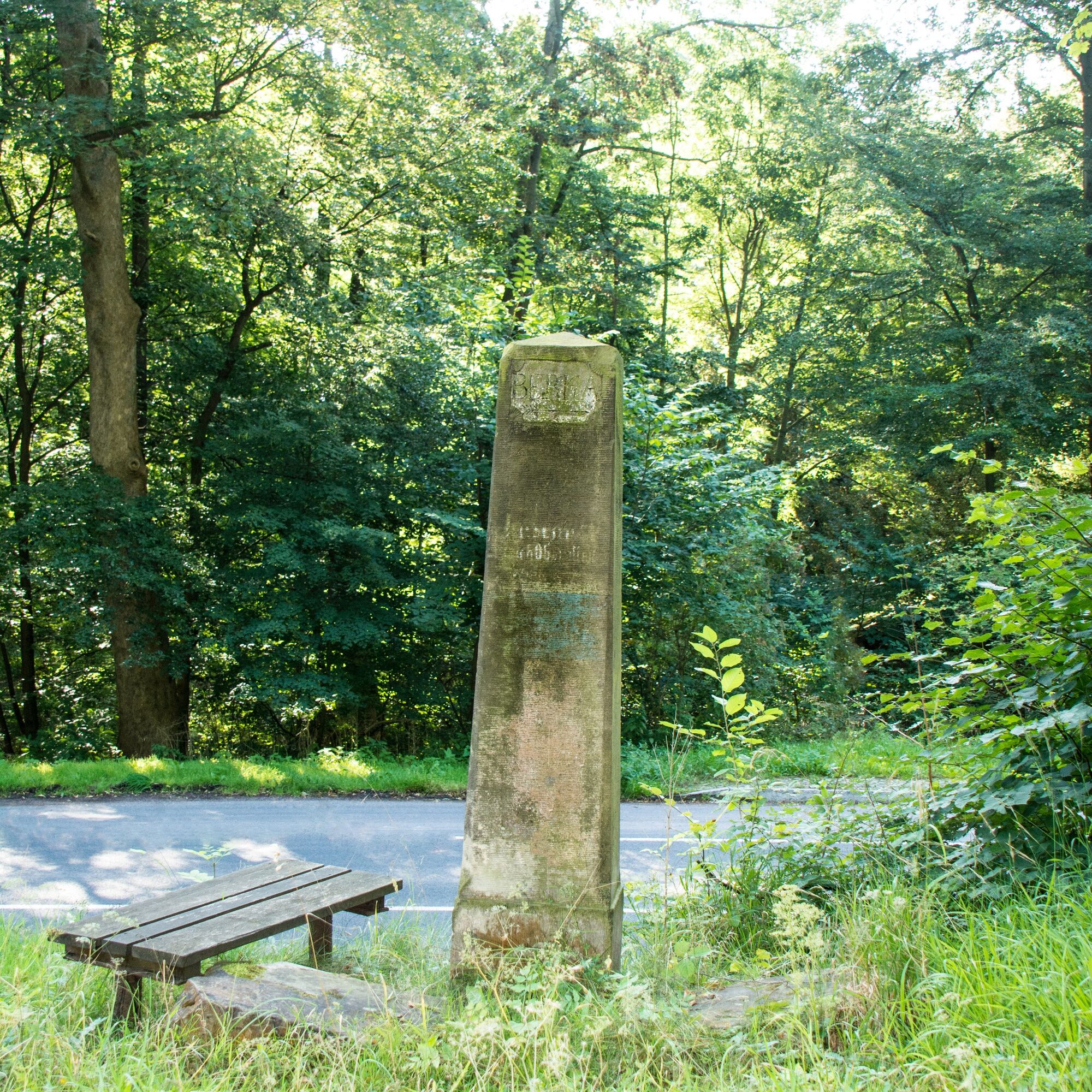
The Rennsteig start is located just above the mouth of the Hörsel into the Werra in the Eisenach district of Hörschel in the courtyard of the hiking inn "Tor zum Rennsteig". The place, only 196 m above sea level, is also the lowest point of the entire Rennsteig route. On the gradually ascending path to the village of Clausberg, after previous views into the Werra valley at the height of the Eichelberg to the east, there is a beautiful view of the Wartburg for the first time. At the Vachaer Stein, the Rennsteig crosses the old trade route from Frankfurt to Leipzig. In the gentle ups and downs to the Hohe Sonne, we pass the stone cross Wilde Sau, the oldest datable stone on the Rennsteig. From the Hohe Sonne, where the federal road from Bad Salzungen to Eisenach is crossed, we reach the next Rennsteig pass near Ascherbrück over the road between Etterwinden and Ruhla. Then we pass the Glöckner with a memorial of the Rennsteig association and the road junction at the Glasbach meadow. Before we climb the ascent to the summit of the Große Inselberg, we reach two more prominent waypoints with the Dreiherrnstein on the Großer Weißenberg and the Venetianerstein. After crossing the summit of the Große Inselberg (916 m above sea level), the descent to the finish of the first stage at the Grenzwiese follows.


Active with Active from
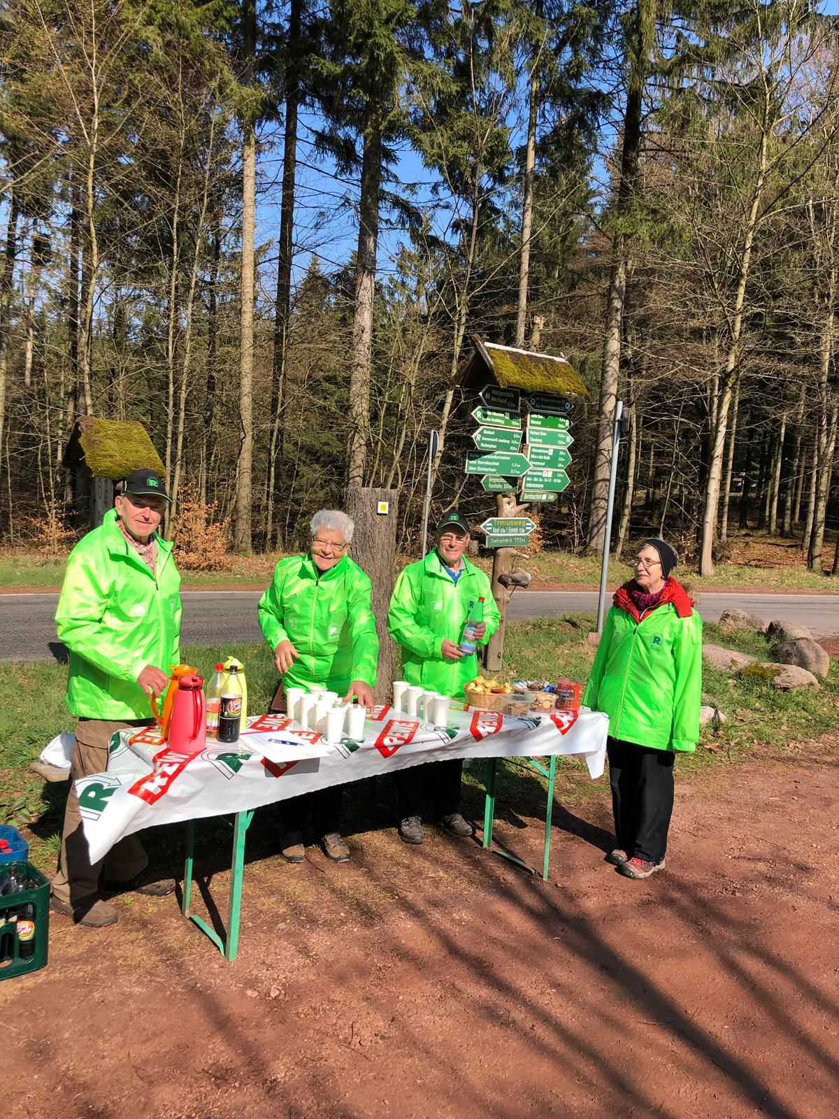
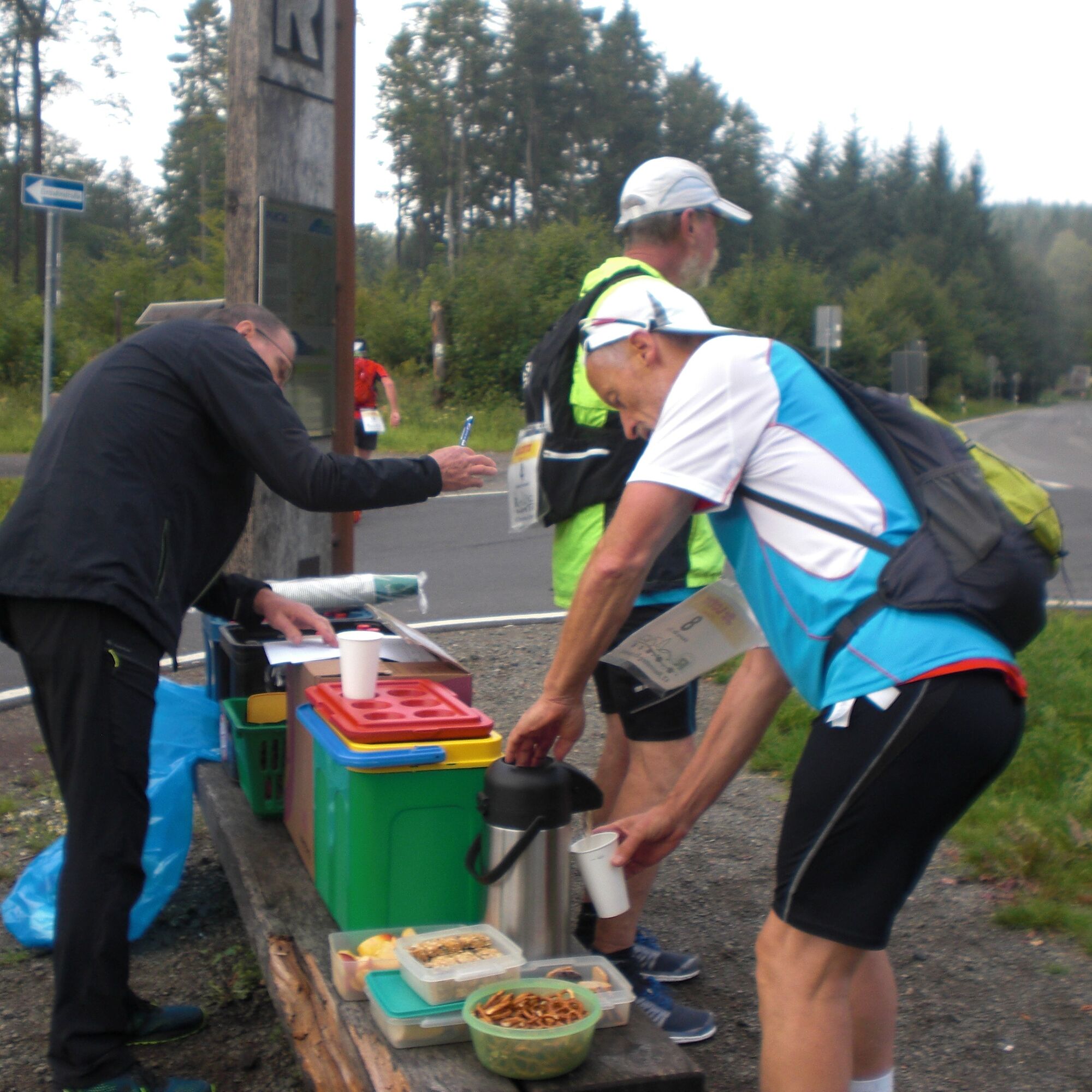
Checkpoints 6 km/h 8-13 km/h Supply stations
---------------------------------------------------------------------------------------------------------------------
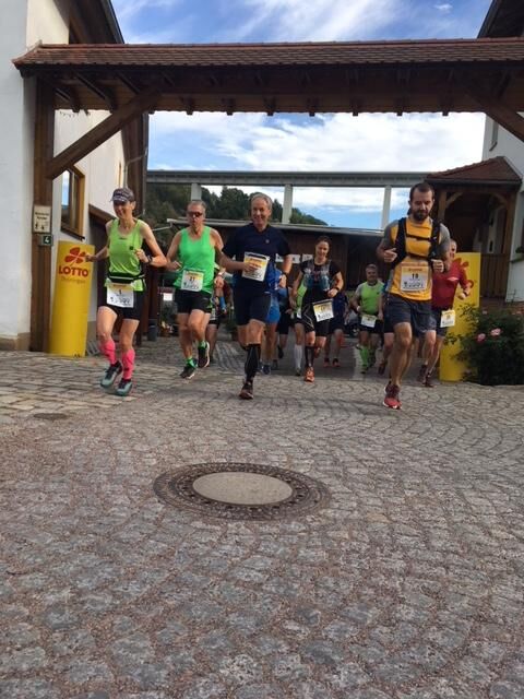
Start at "Tor z. Rstg." (0.0 km / 196 m) 08:30 09:00
Rstg. village Clausberg (7.0 km / 398 m)
Vachaer Stein on B 84 (8.3 km / 372 m) 09:40 09:50 x
Tunnelkopf (9.6 km / 398 m)
Rennsteig stone "Wilde Sau" (11.5 km)
"Hohe Sonne" (14.6 km / 434 m) 10:40 10:35 x
Rest area Ascherbrück (19.1 km / 553 m) 11:30 11:05 x
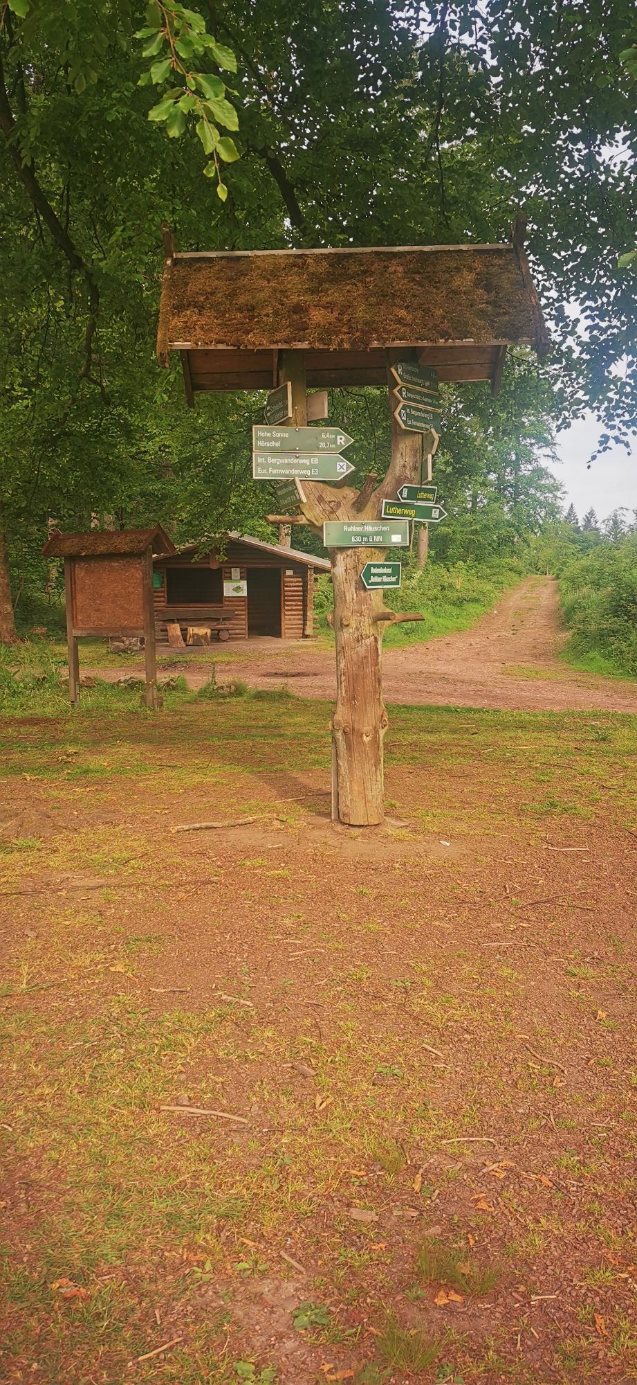
Ruhlaer Häuschen (21.0 km / 630 m)
Glasbach meadow (25.0 km / 643 m)
Parking lot at the Schillerbeech (25.2 km) 12:30 11:50 x
Forest tavern Dreiherrnstein, "Großer
Weißenberg" (27.8 km / 730 m) 13:10 12:10
Stage finish
Großer Inselsberg (33.0 km / 916 m) 14:00 12:40
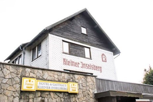
Stage time inn Kleiner Inselsberg 14:15 12:50 x
(34.3 km / 723 m)
The stage runs are running events where, in addition to runners, experienced walking enthusiasts can also participate if they meet the minimum requirement regarding average speed, namely 6 km/h, on the strongly profiled course with ascents and descents totaling about 6500 meters of elevation gain. Preparation for the high endurance demand of the stage run requires roughly marathon training over several months. We recommend a sports medical examination, preferably with a stress ECG.
T2
The first stage starts in the courtyard of the hiking inn "Tor zum Rennsteig" in Hörschel and ends after 34.3 km and 1217 meters of elevation gain (of which 874 uphill) at the inn Kleiner Inselsberg at the Grenzwiese.
Priljubljeni izleti v okolici
-
5.0
EA1 - Circular route - Gorge tour near Eisenach - Thuringian Forest
srednjaPohodništvo 9.68 km -
4.3
Summit and panoramic tour - Tour 1 - Bad Tabarz
srednjaPohodništvo 10.9 km -
4.5
IVV PW + GTW "Auf Luthers Spuren - Luther, Drachen, Landgrafen, Rosenwunder..."
srednjaPohodništvo 15.8 km -
Wartburg und Drachenschlucht
srednjaPohodništvo 15.1 km -
3.5
EA2 - circular hiking route - "The Beauties of Eisenach" - Thuringian Forest
srednjaPohodništvo 9.81 km -
4.5
Rundwanderung - Sagenhafte Hörselberge - Großer Hörselberg bei Eisenach - Thüringer Wald
srednjaPohodništvo 10.6 km -
4.7
Hiking - "Rennsteig-Leiter Eisenach" Thuringian Forest
srednjaPohodništvo 3.58 km -
3.7
EISENACH | Drachenschlucht - Wartburg
svetlobaPohodništvo 13.0 km -
3.2
Von Friedrichroda zum großen Inselsberg
srednjaPohodništvo 22.4 km -
4.0
Circular Hike - "Culture-Nature" - Bad Liebenstein - Thuringian Forest
srednjaPohodništvo 10.8 km
Pohodništvo in sledenje


Ne zamudite ponudb in navdiha za naslednje počitnice
Vaš e-poštni naslov je bil dodan na poštni seznam.