


Trekking Maggiore Stage 2: Rifugio La Reggia-Rifugio Arena


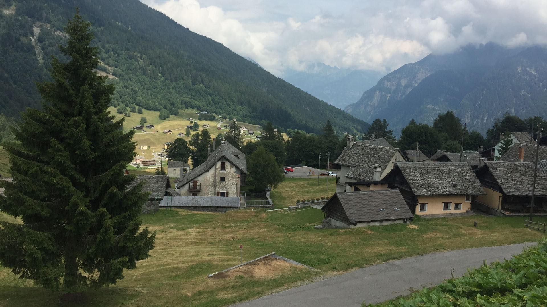
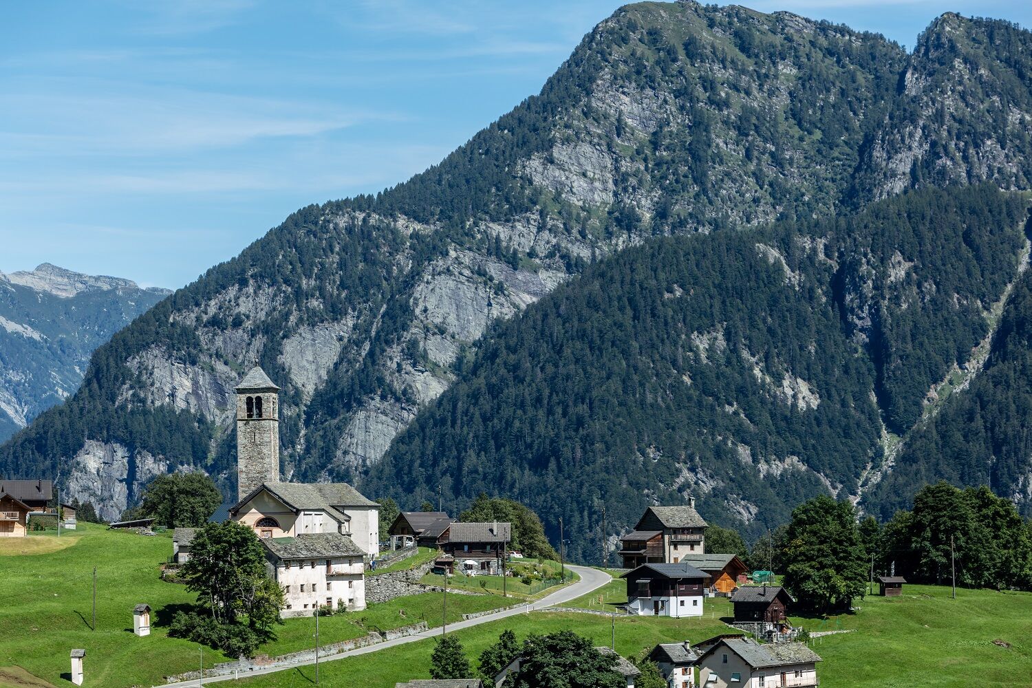
This typical alpine village still retains its traditional architecture and is surrounded by coniferous woods and green pastures. From here you head for the upper stretches of the Sfille valley and then...
This typical alpine village still retains its traditional architecture and is surrounded by coniferous woods and green pastures. From here you head for the upper stretches of the Sfille valley and then the Arena mountain refuge in the Onsernone valley. As you cross the village, you cannot fail to notice signs of the creeping landslide on which it stands. The edge can be seen just a few metres below the road and houses. Today it has finally stopped, but clearly reminds everyone of the power of nature.
After a few minutes along a level stretch, you reach Pianelli, after which you enter a thick forest and descend to the bed of the Rovana di Campo river (approx. 1,200 m a.s.l.).
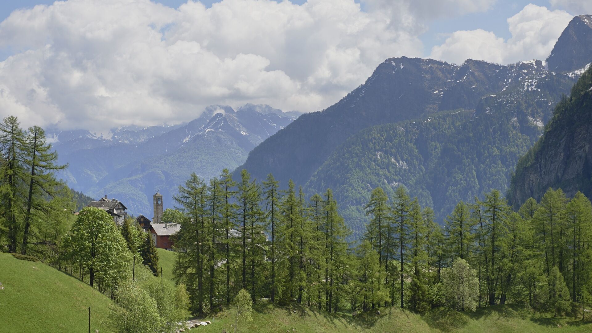
After crossing the river, you then climb back up to the top of Alpe Sfille (1,666 m a.s.l.), one of the few remaining mountain pastures still regularly grazed in the Campo valley. A splendid alpine setting, rich in mountain biodiversity. Follow the recently restored, well-signposted path that leads from Alpe Sfille up towards Passo della Cavegna before it drops down to the Onsernone valley. This mountain pass is, in fact, a level valley ending at Alpe Porcaresc (1,791 m a.s.l.). As you walk towards Rifugio Arena (1,687 m a.s.l.) your spirits will soar thanks to the extensive natural beauty here.
Attention: In the area of the Capanna Alpe d'Arena mountain hut, there are herds protected by livestock guardian dogs.

Cimalmotto-Alpe di Sfii-Lago della Cavegna-Pass dala Cavégna-A Porcarés-Capanna Alpe d'Arena
Da
Trekking backpack (approx. 50 liters) with rain cover
Comfortable and sturdy footwear, second pair of shoes / sandals if necessary
Adequate and durable outdoor clothing in multiple layers
Change of clothes,
Telescope sticks
Sun and rain protection
Snacks and drinking water
First aid kit
Penknife
Mobile phone
Headlight
Maps
Travel documents
Toilet bag and travel towel, travel detergent and clothesline, camping equipment if necessary (tent, sleeping mat, sleeping bag, cooking equipment), hut equipment if necessary
Priljubljeni izleti v okolici
-
Maggia-Someo-Maggia
svetlobaPohodništvo 15.5 km -
4.0
Foroglio-Calnègia-Foroglio
srednjaPohodništvo 8.37 km -
5.0
Bignasco-San Carlo
srednjaPohodništvo 12.8 km -
5.0
Spruga-Alpe Saléi-Comologno
srednjaPohodništvo 8.96 km -
5.0
Bosco Gurin-Lago Melo-Lago Pero-Bosco Gurin
srednjaPohodništvo 10.6 km -
Centres of energy in the Valle Onsernone
srednjaTematska pot 13.4 km -
5.0
TESSIN | Foroglio
srednjaPohodništvo 3.86 km -
5.0
Val Bavona: Cevio-San Carlo-Cevio
srednjaKolesarjenje 28.8 km -
5.0
Cimalmotto-Alpe Magnello-Cimalmotto
srednjaPohodništvo 8.82 km -
Vergeletto and the Salei alpine lake
srednjaPohodništvo 13.1 km
Pohodništvo in sledenje


Ne zamudite ponudb in navdiha za naslednje počitnice
Vaš e-poštni naslov je bil dodan na poštni seznam.