


By bike on the water glass of Dresden
Stopnja težavnosti: 2


Start: Hikers' parking lot "Zur Neuklingenberger Höhe" - Streichholzbrücke - Klingenberg dam, over the dam wall and along the reservoir to the new pre-dam - on asphalt through Beerwalde and Ruppendorf (Zweiradservice Fa. Gey) - into Höckendorfer Heide - at the stadium turn left downhill to Höckendorf town center (e-bike rental: Reception Hotel "Zum Erbgericht") - on the Mittelweg to Obercunnersdorf - back to the Klingenberg dam, rest area on both sides of the wall crest (Waldschänke and Lindenhof) - Klingenberg village through the former manor (Fa. Dr. Butze) - destination: Neuklingenberger Höhe. Of course, you can also join and leave the circular route at any other point and follow the K-1 markings.
Bus and train (Klingenberg-Colmnitz station, 2.4 km to the starting point)
Hikers' parking lot "Zur Neuklingenberger Höhe" (free of charge)
2
Förderverein Edle Krone e.V., Tharandter Straße 56a, 01774 Klingenberg-Edle Krone, Tel. 0173/9079574, info@edlekrone.de, www.edlekrone.de
RADschlag:
Starting point and rest area at the *** Flair Hotel "Zur Neuklingenberger Höhe", a certified hiking hotel.
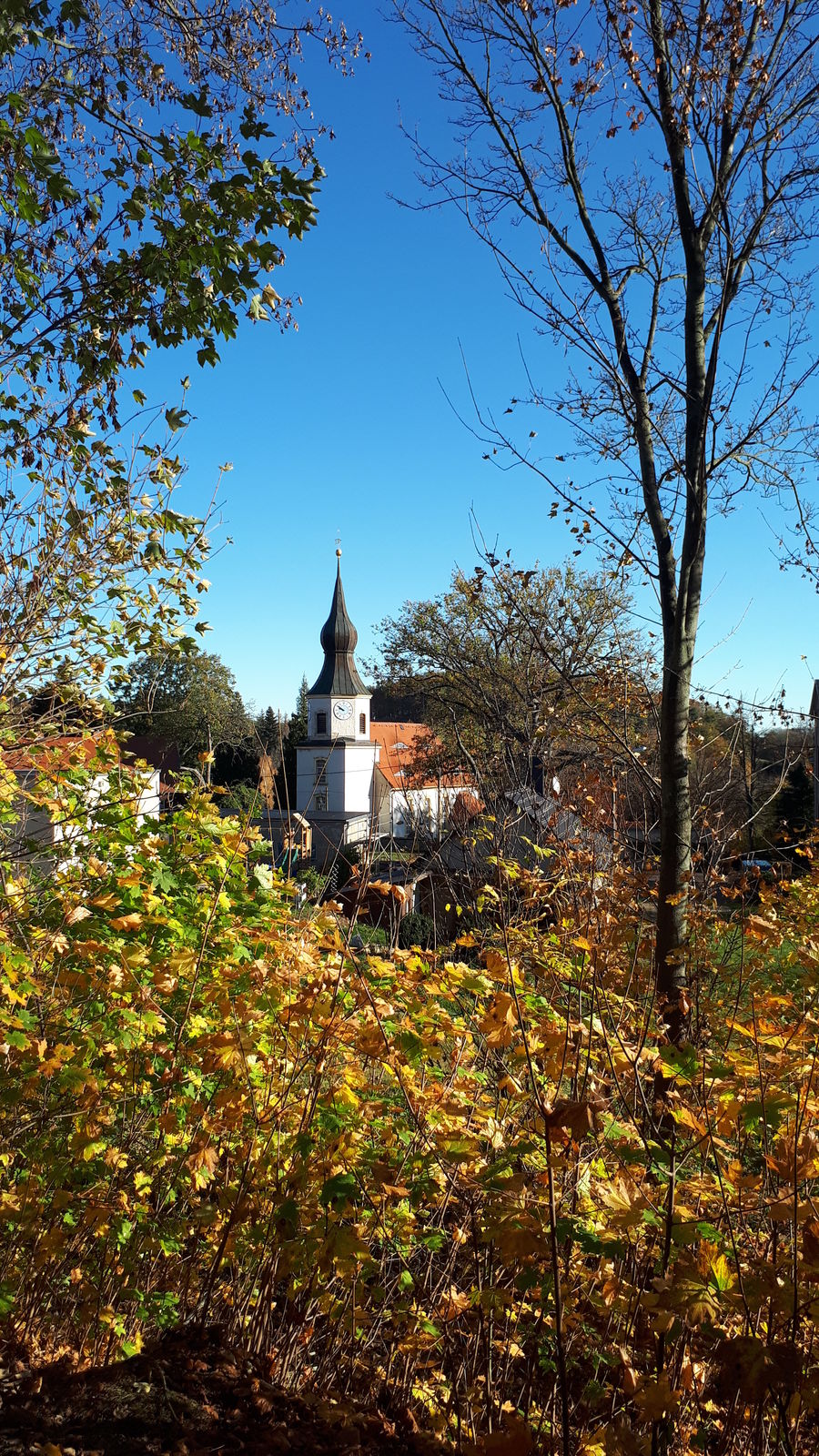
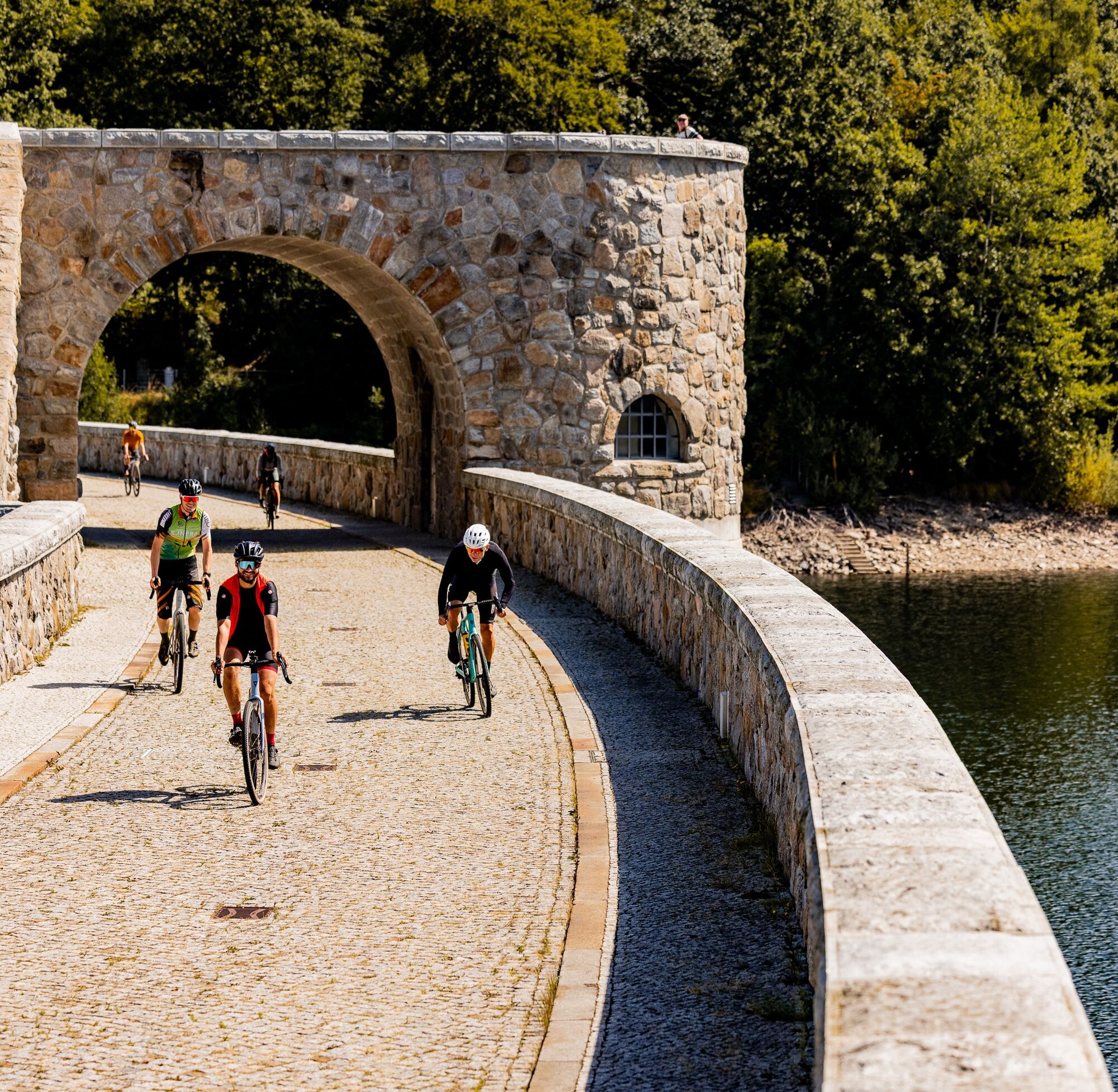
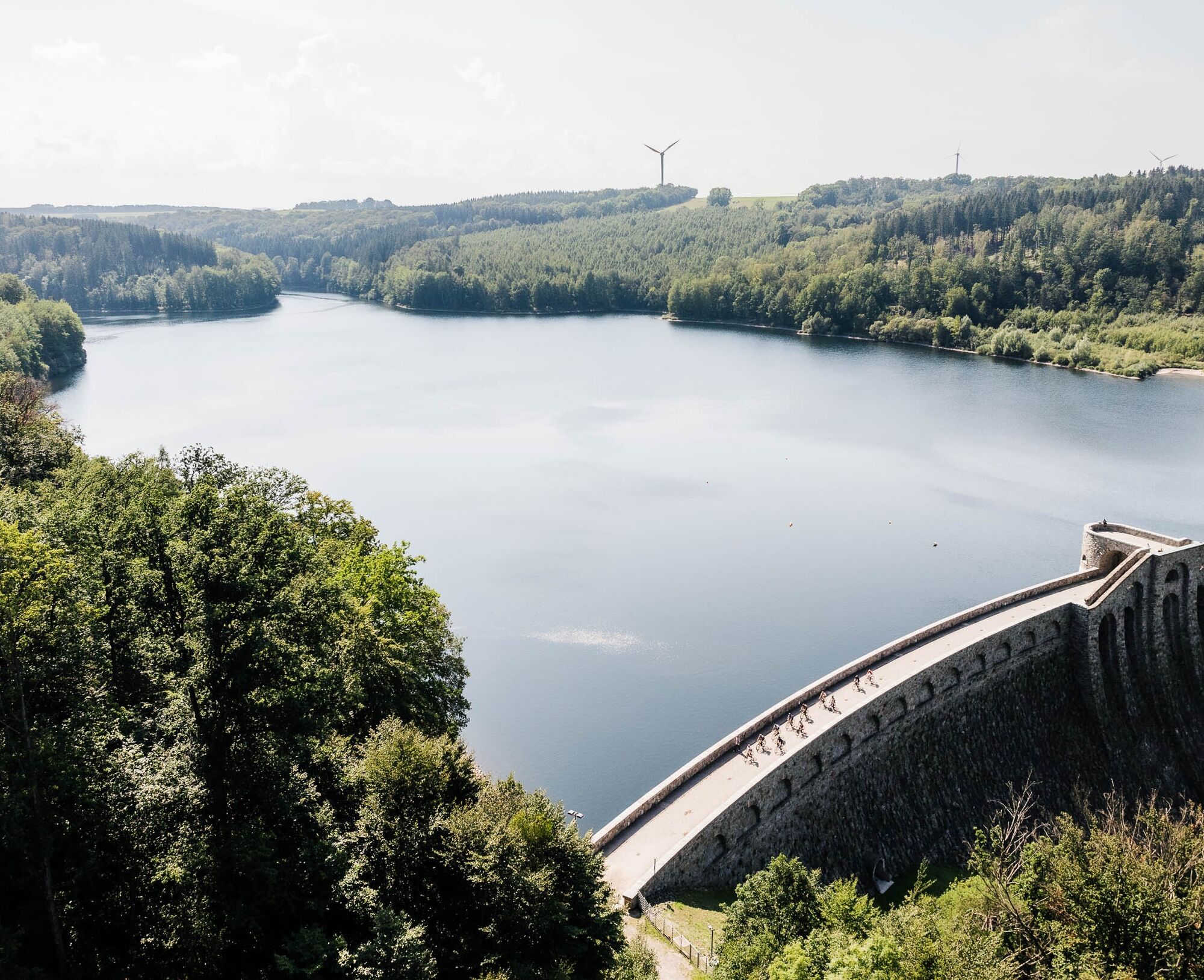
The center of the tour - the Klingenberg dam, which is protected as a monument and in 2014 -100 years old, in the valley of the "Wild Weißeritz", also known as the "water glass of Dresden". On both sides of the dam wall, you can take a break at the "Waldschänke" and "Lindenhof", the basket weaving workshop at the Näcke vacation farm in Beerwalde, opposite the "Rosenhof" guesthouse as another rest stop, past one of the most renowned model racing facilities in Germany in Ruppendorf.The Höckendorfer Heide with the zoo and the picturesque village center around the hotel village "Zum Erbgericht" in Höckendorf (rest stop and e-bike rental), as well as the Hahn farm bakery in Obercunnersdorf.
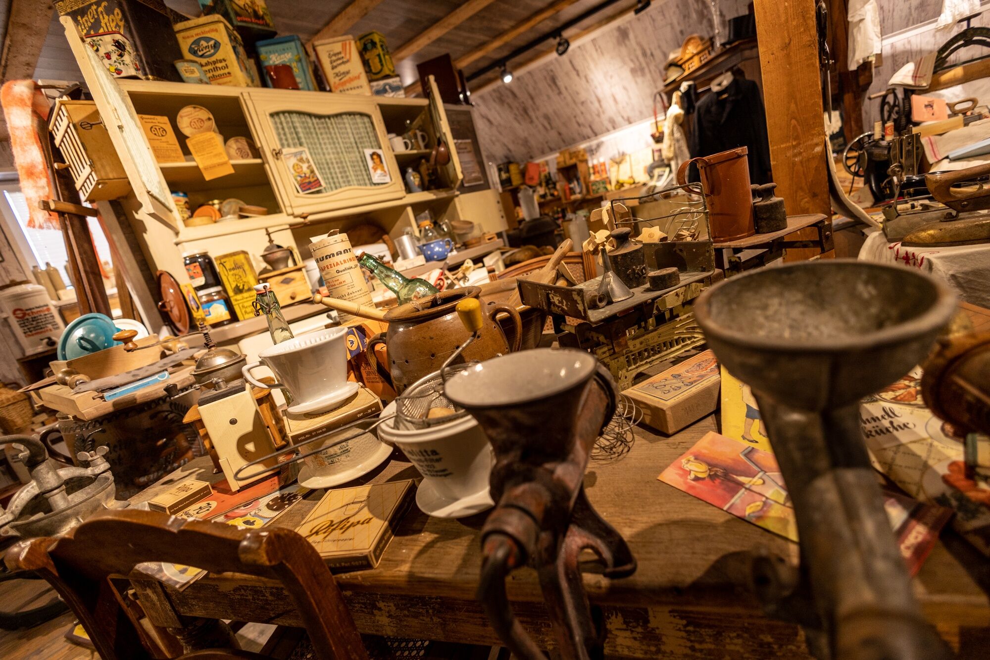
You shouldn't miss a detour to the "Essig Schneider" (with a farm store and museum) in Colmnitz.
Priljubljeni izleti v okolici
- 4,0
Rabenauer Grund family tour and adventure trail
svetlobaPohodništvo4,92 km Shaft hopping for the whole family in Freiberg
srednjaPohodništvo10,9 kmThe Rabenau circular hiking trail
težkoPohodništvo22,1 km- 5,0
Winter experience Rabenauer Grund and Rabenauer Höhe
srednjaZimsko pohodništvo7,79 km In Silbermann's footsteps
težkoKolesarjenje51,9 kmSaxon Way of St. James - section Grillenburg - Freiberg
srednjaRomarska pot18,3 kmRound trip Lichtenberg to the BLOCKLINE via Weigmannsdorf and Berthelsdorf back
srednjaKolesarjenje37,0 kmVon Freital Hainsberg nach Malter
svetlobaPohodništvo12,9 kmKreischa, Soldaten Höhlen, Wilisch, Quorener Kipse, steinerne Tisch und Steinernes Kreuz
srednjaPohodništvo11,7 kmRabenauer Grund nach Malter, Götzenbusch, Schanzenaussicht und zurück
srednjaPohodništvo12,4 km
Pohodništvo in sledenje


Ne zamudite ponudb in navdiha za naslednje počitnice
Vaš e-poštni naslov je bil dodan na poštni seznam.