


Hinkelsteinweg - complete route


The Hinkelsteinweg connects as a circular hiking trail the network of paths in the border areas of the biosphere reserve “Palatinate Forest” with the hiking area Donnersberg and the certified hiking trail...
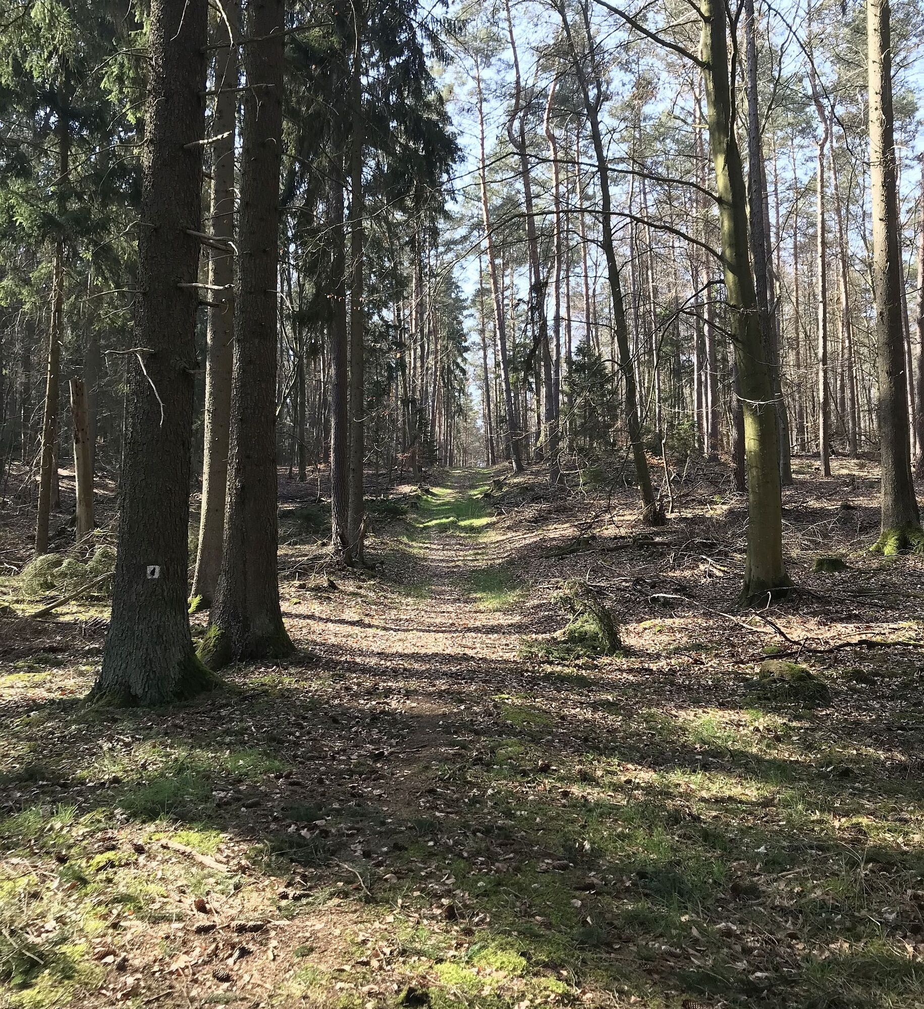
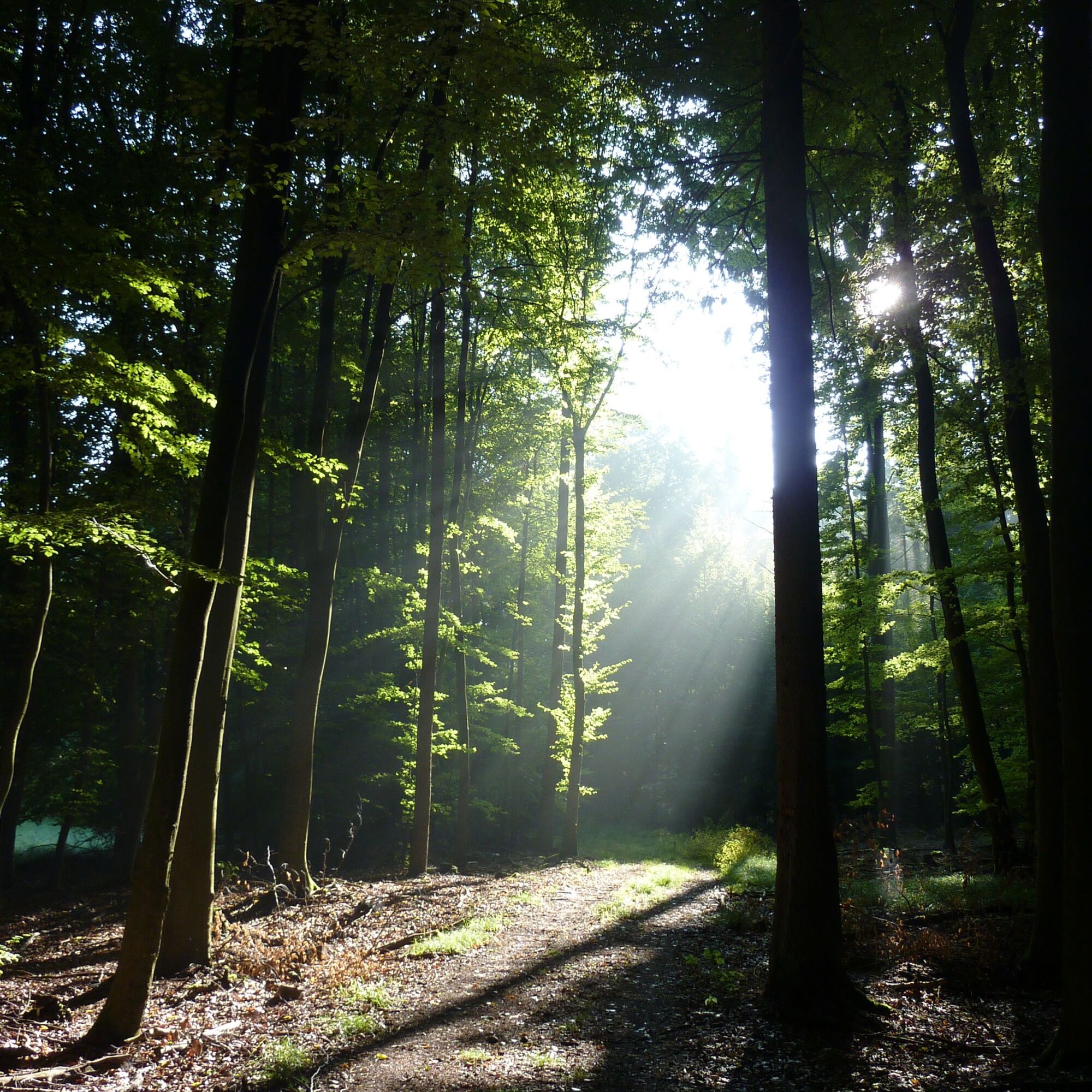
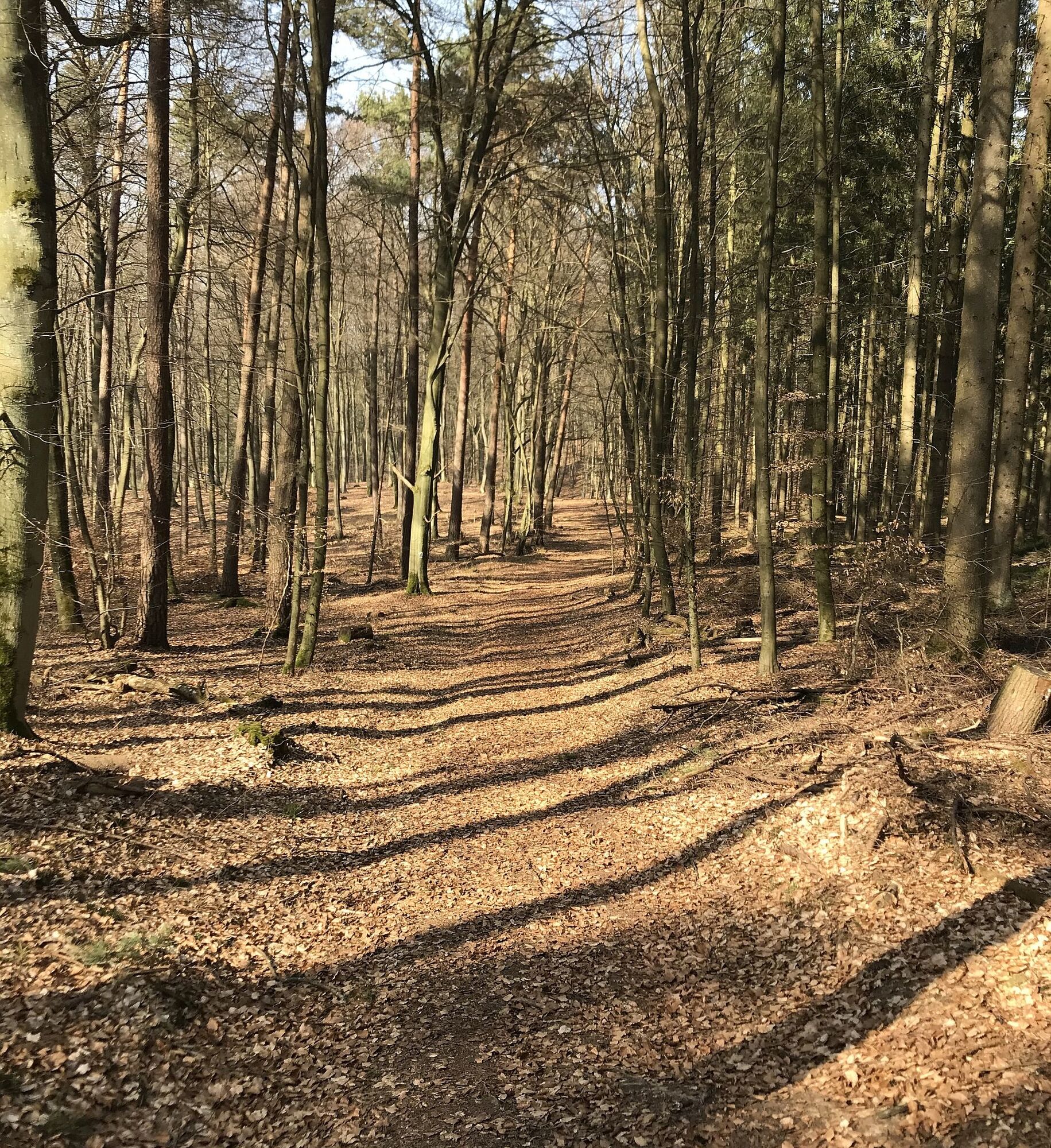
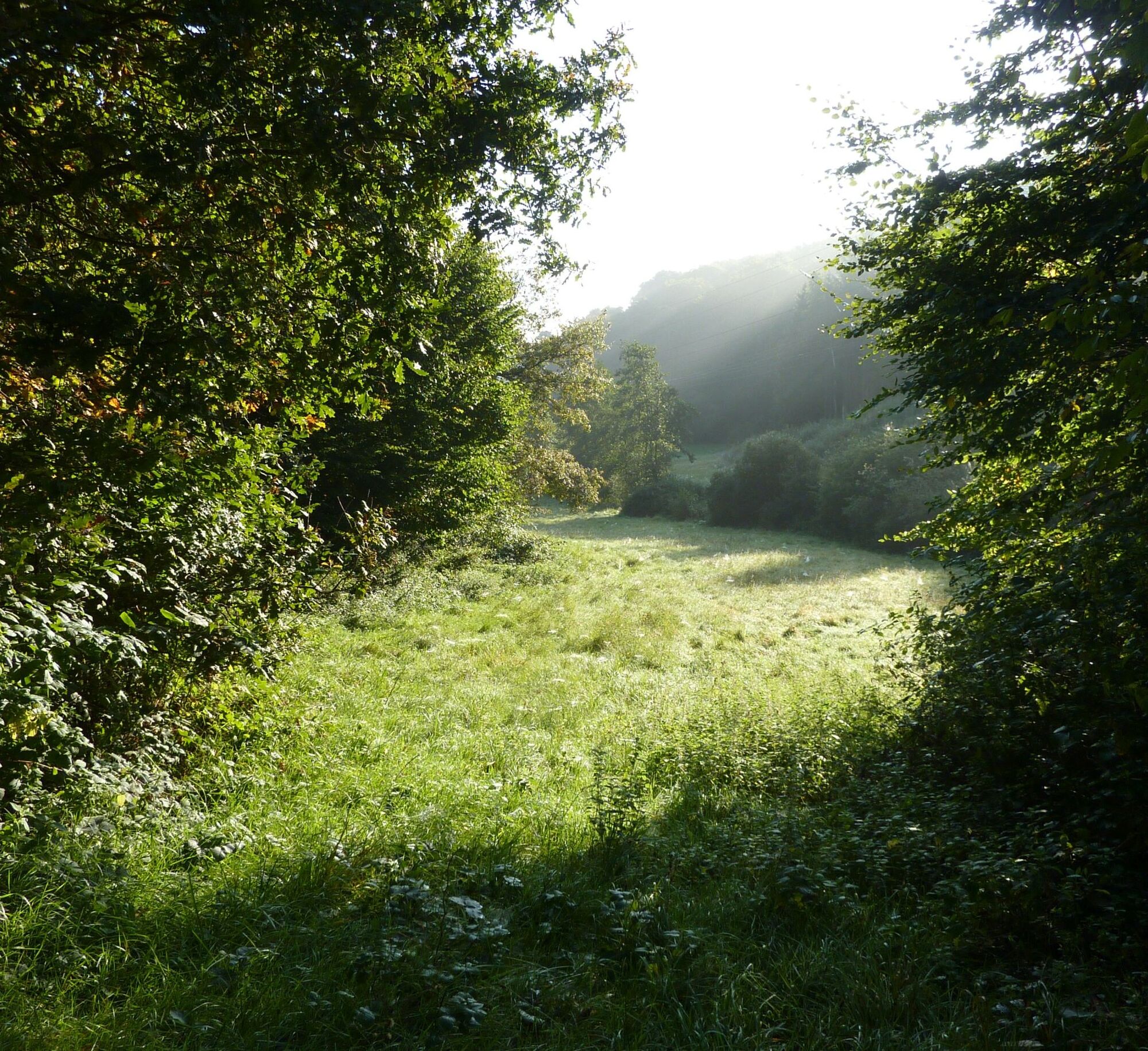
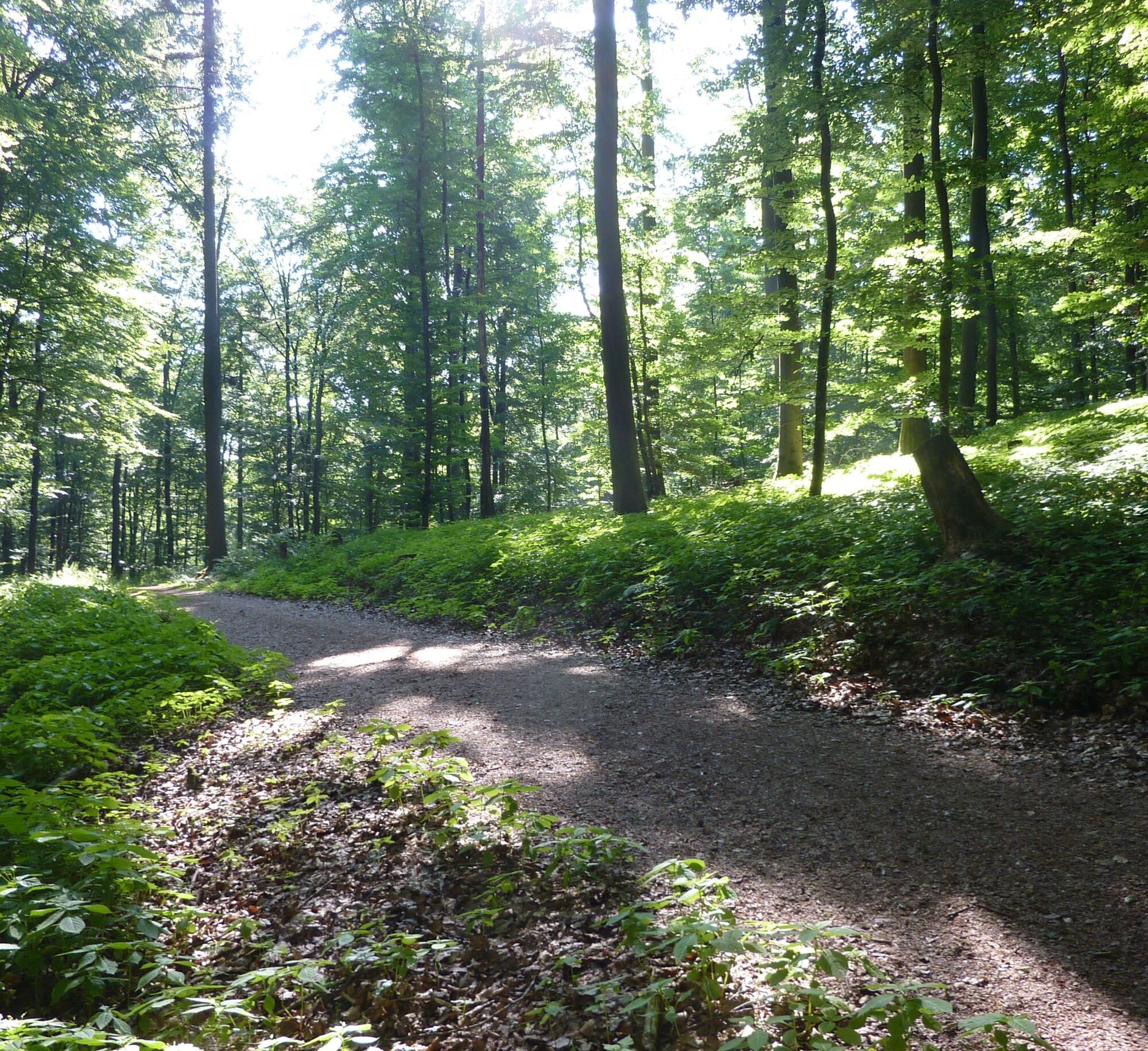
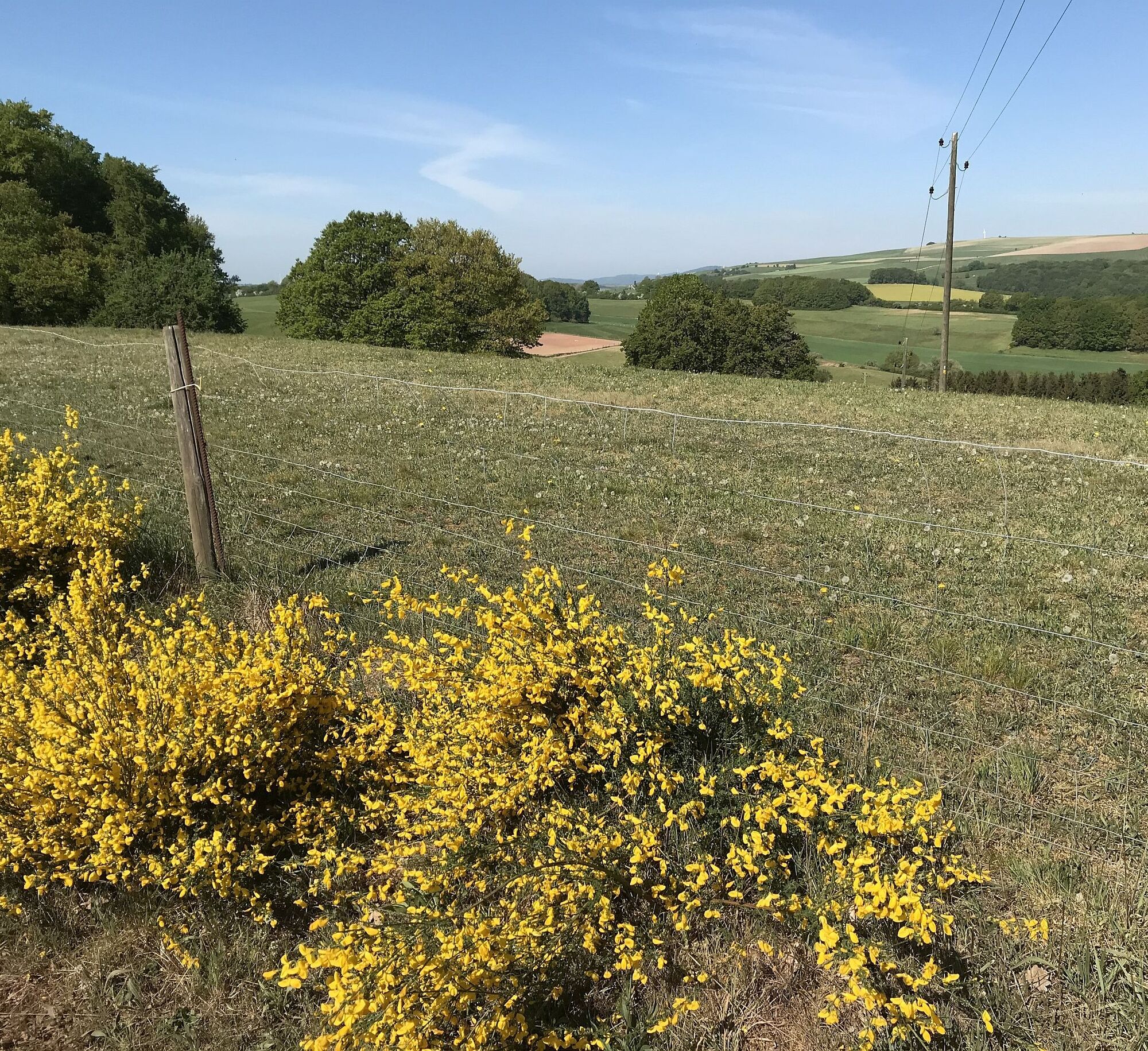
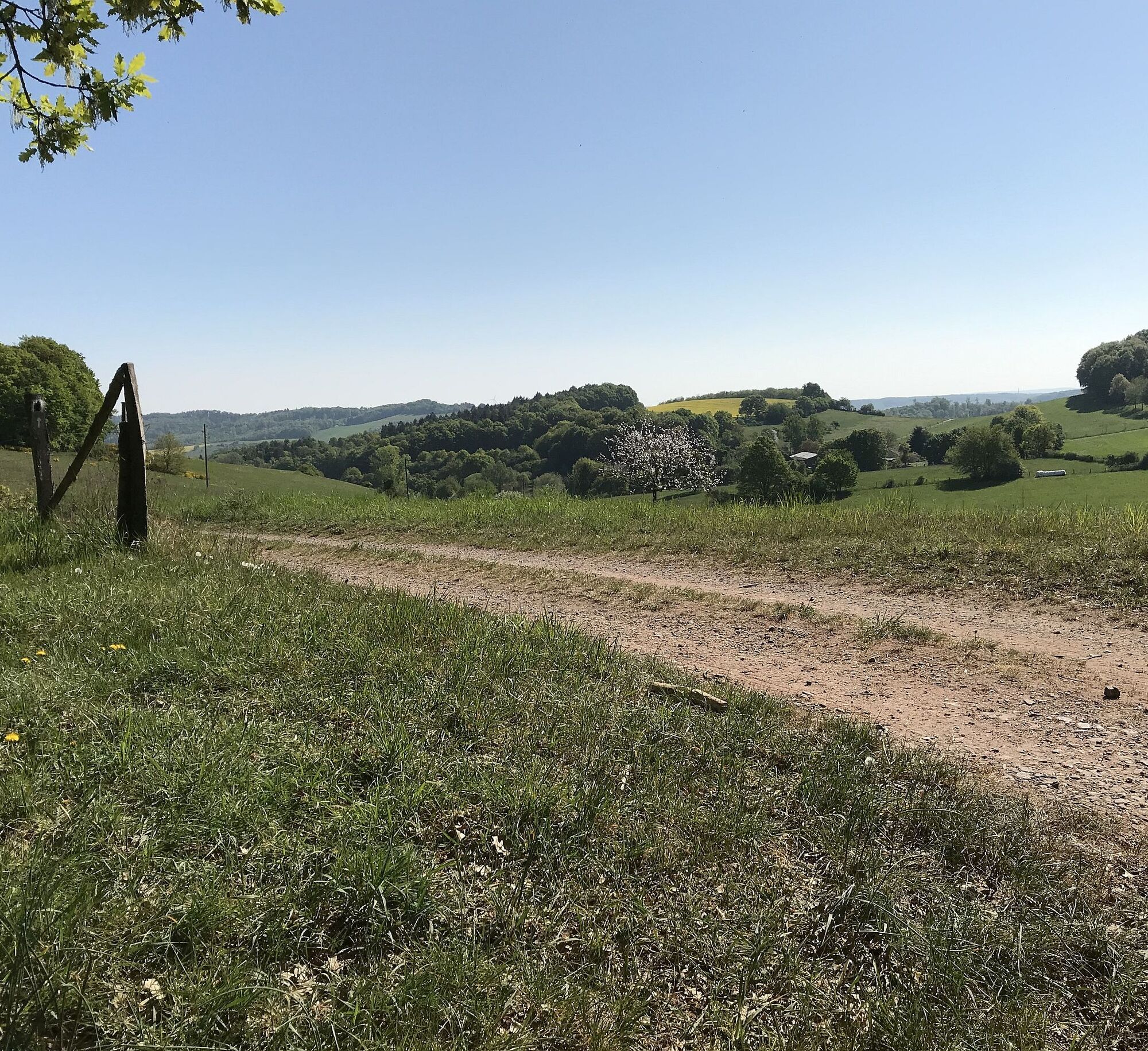
The Hinkelsteinweg connects as a circular hiking trail the network of paths in the border areas of the biosphere reserve “Palatinate Forest” with the hiking area Donnersberg and the certified hiking trail “Palatinate Höhenweg”. Along the route there is the large Menhir “Hinkelstein” and a variety of historical boundary stones from the Otterberg monastery period. The path leads past the nature reserve Mehlinger Heide, one of the largest heath areas in southern Germany. The path is characterized by natural forest paths that invite you to dream, impressive views, and a varied landscape.
At the Drehenthalerhof (in both directions) it is possible to hike the Hinkelsteinweg in two stages (20 km and 23 km).
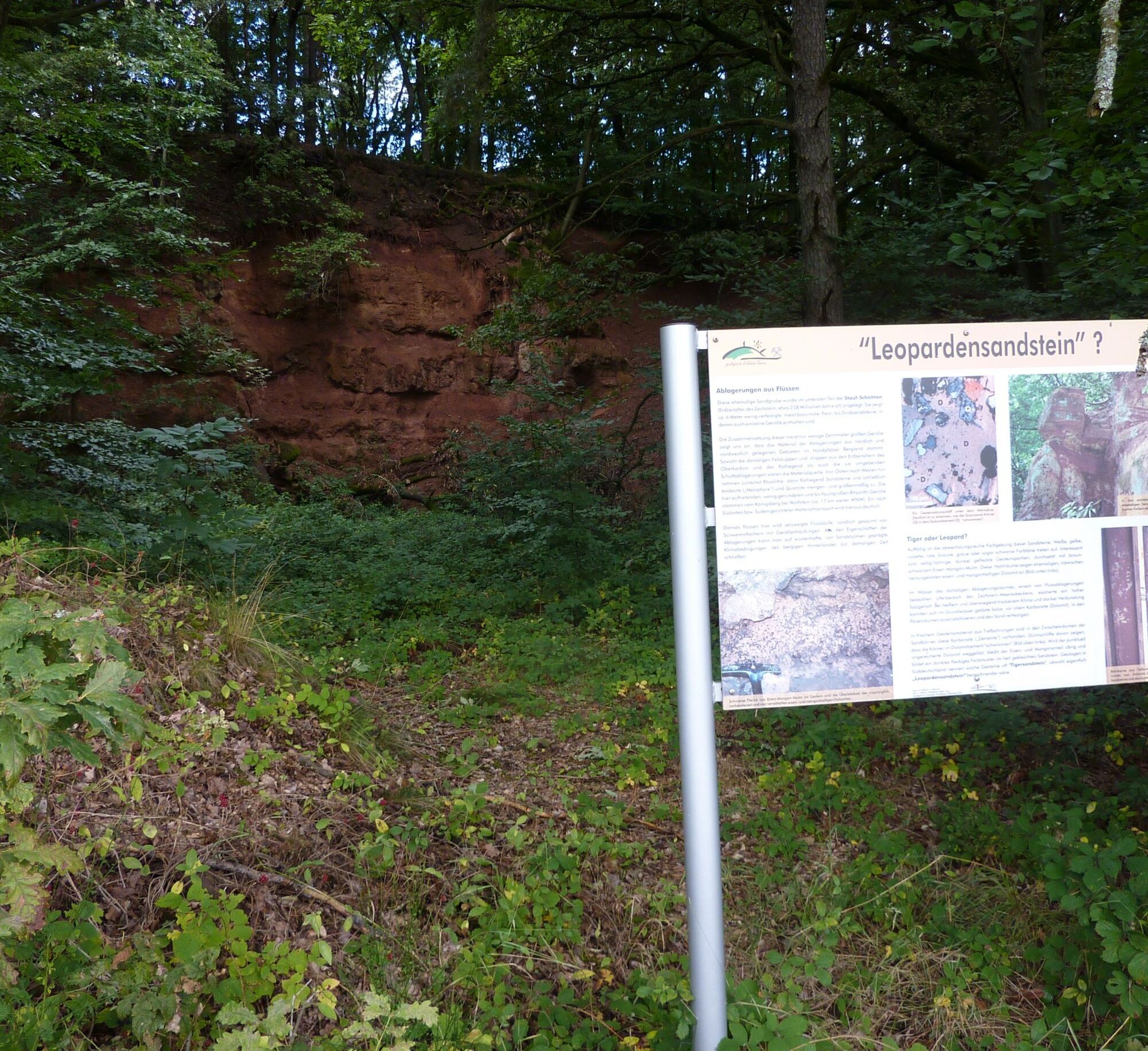
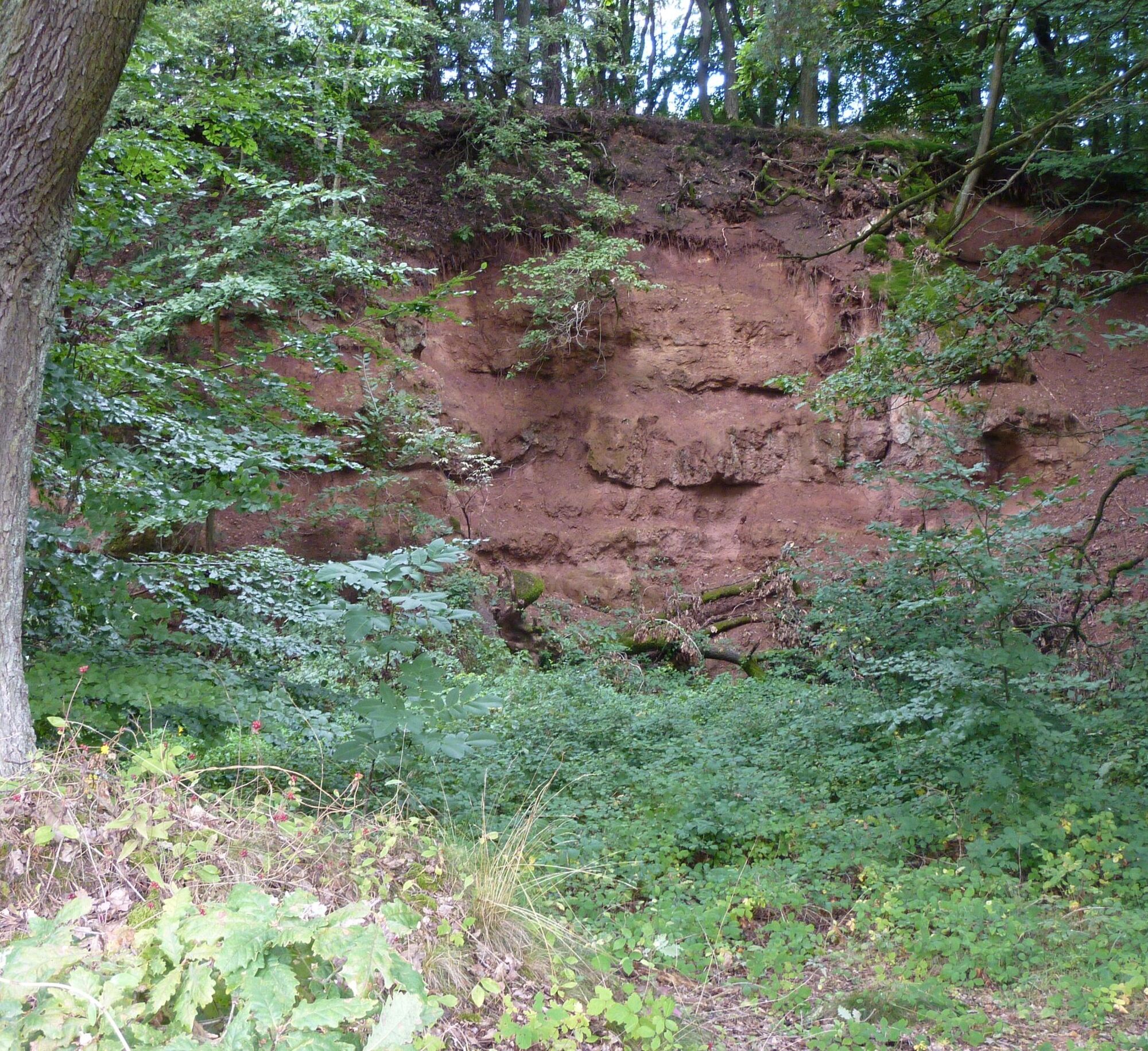
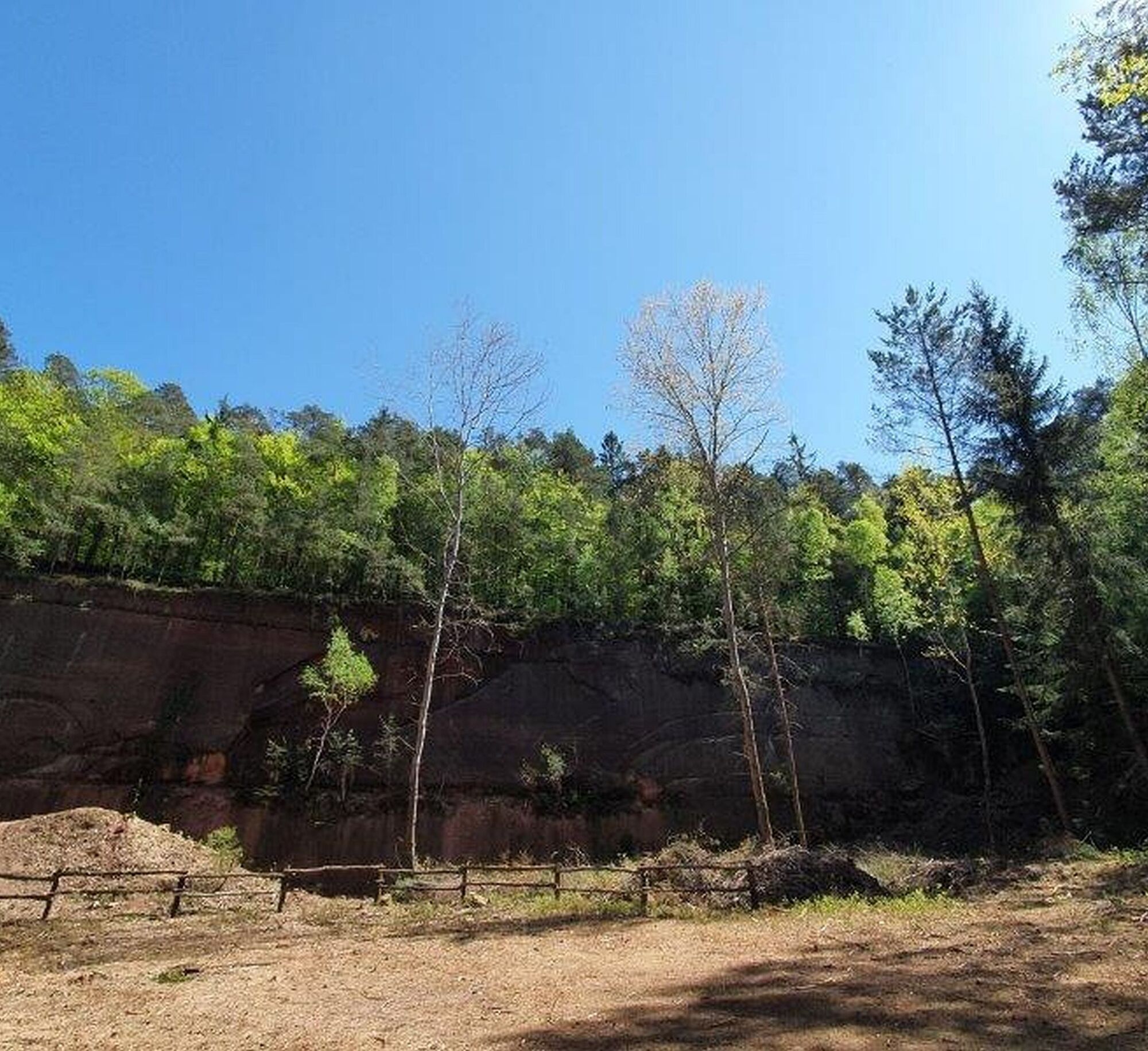
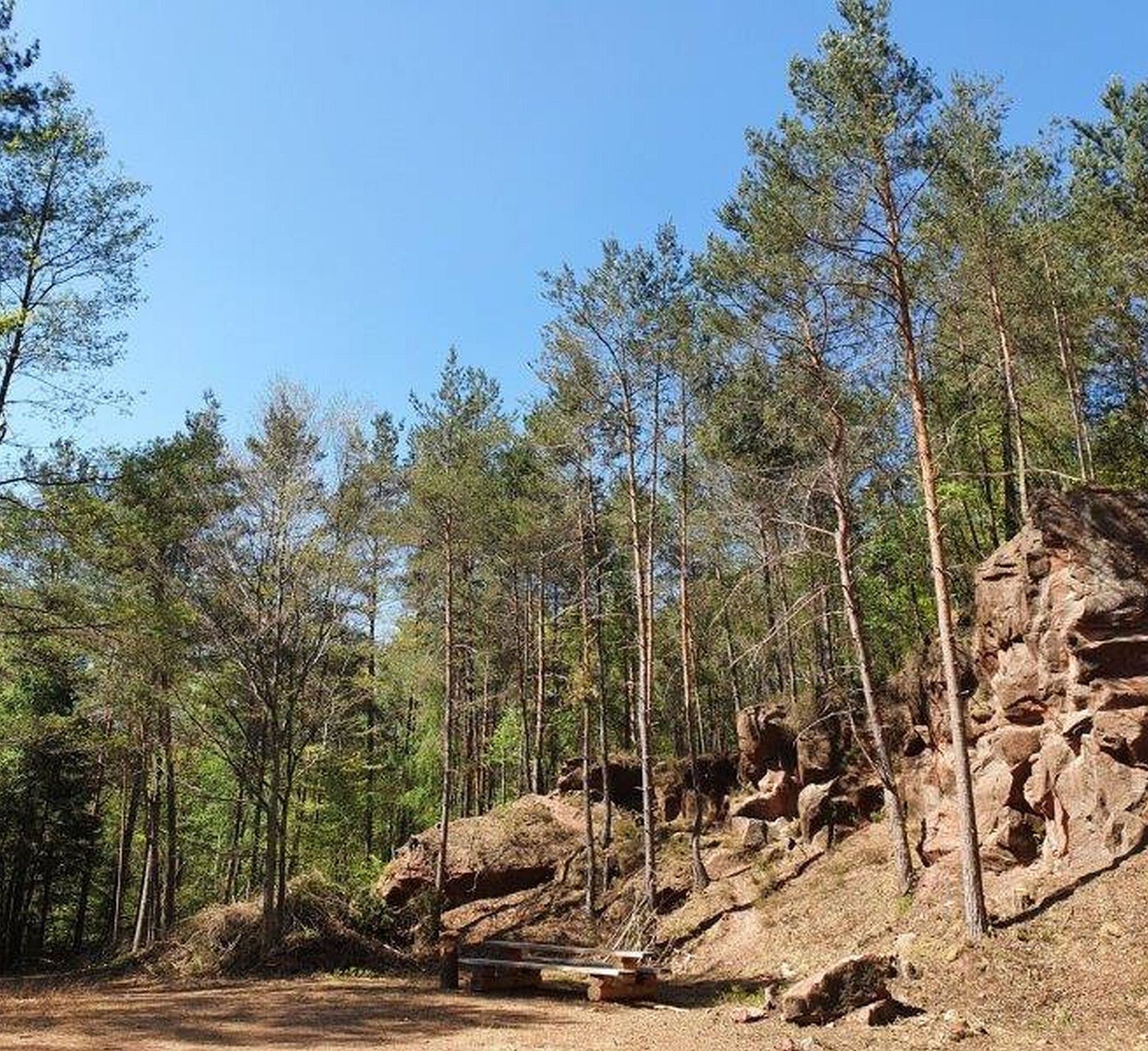
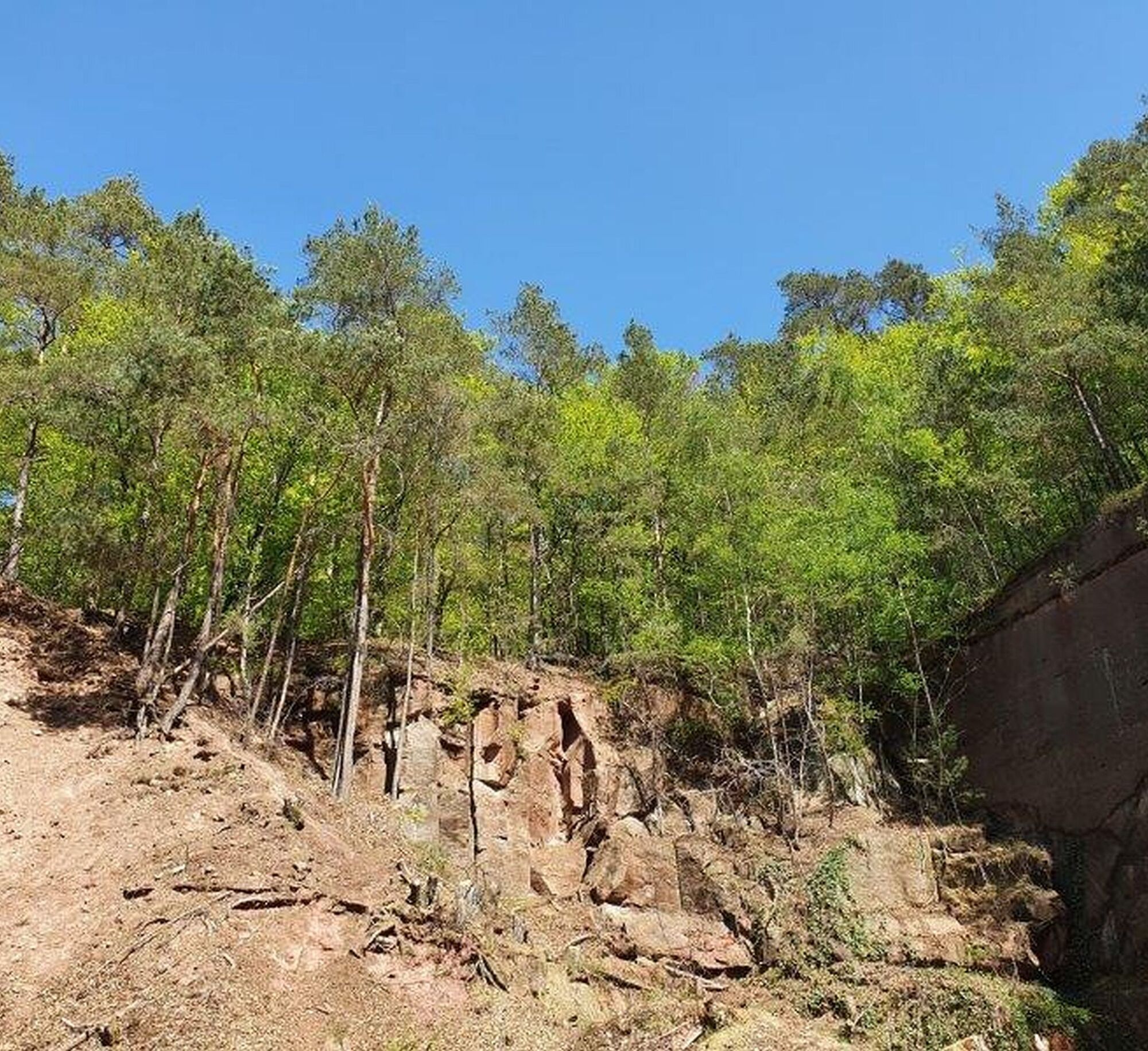
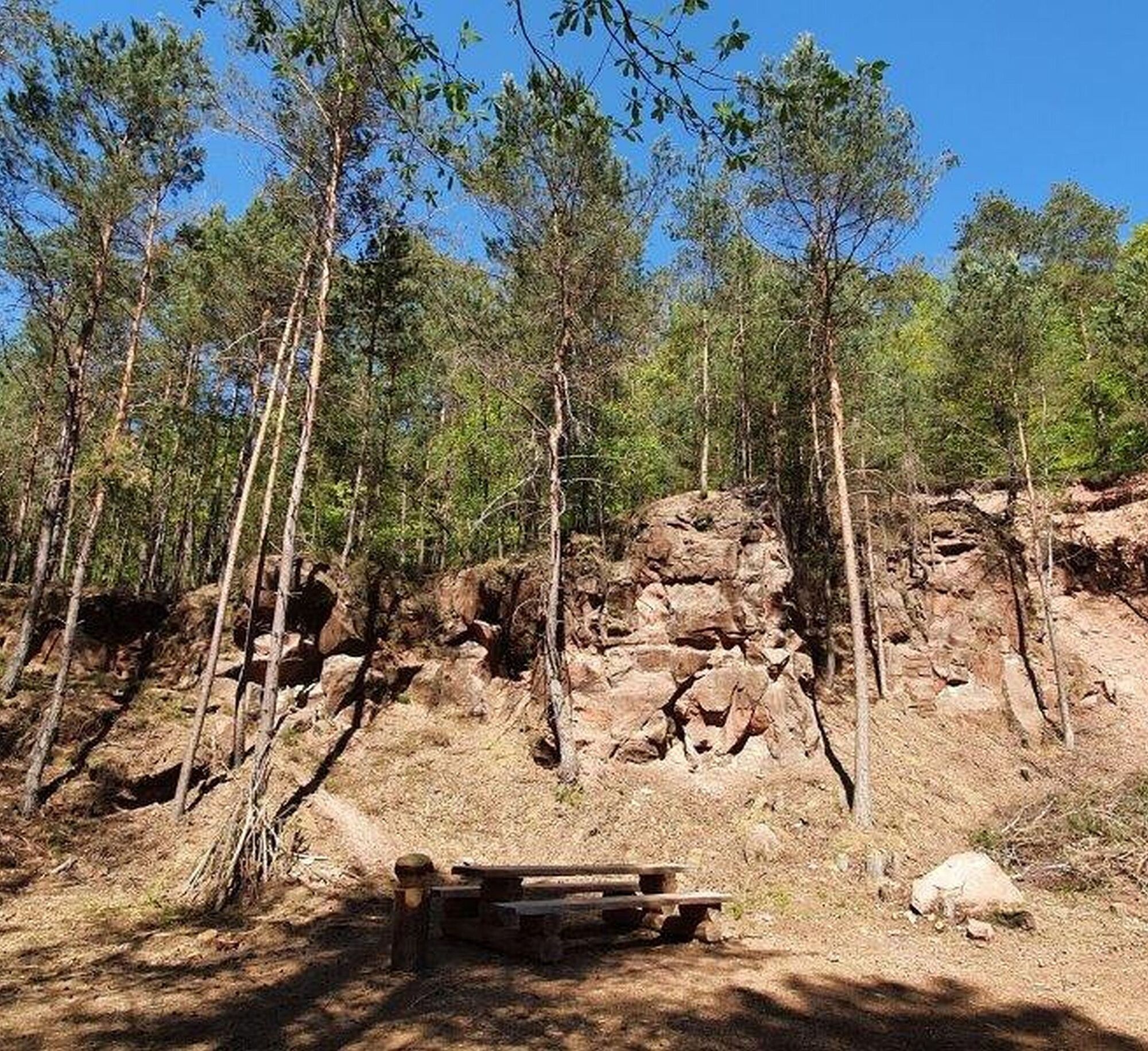
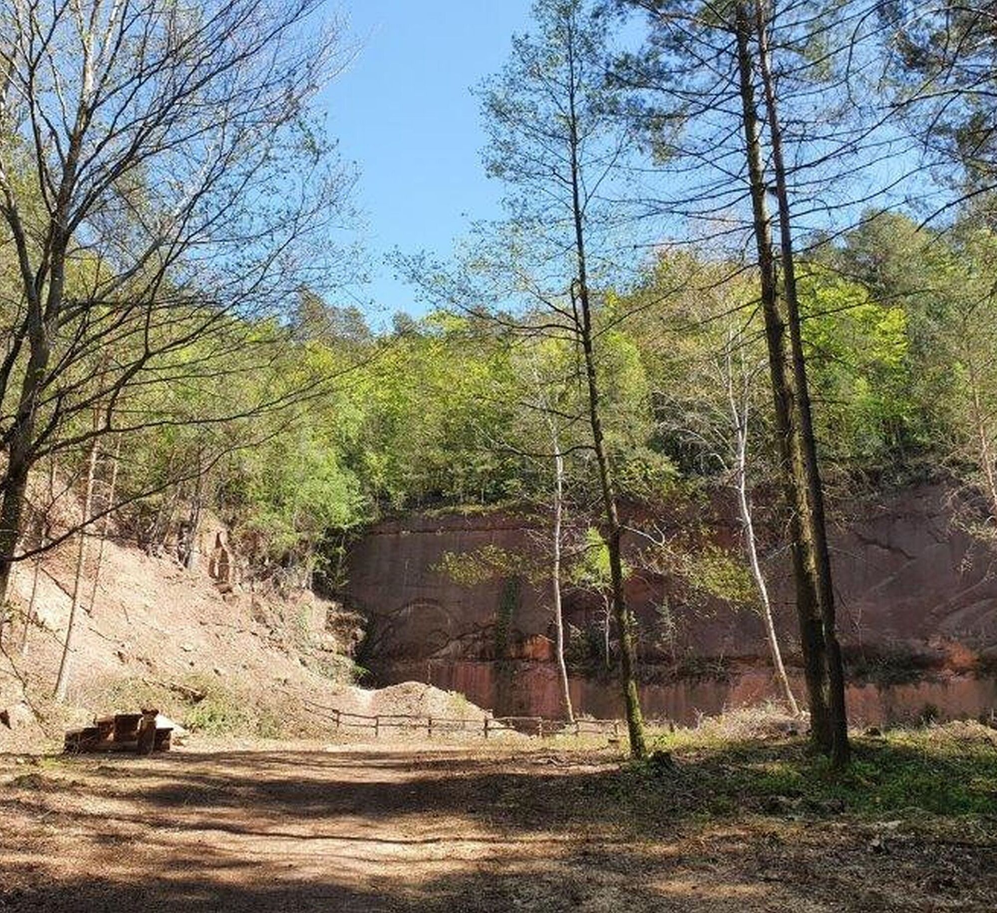
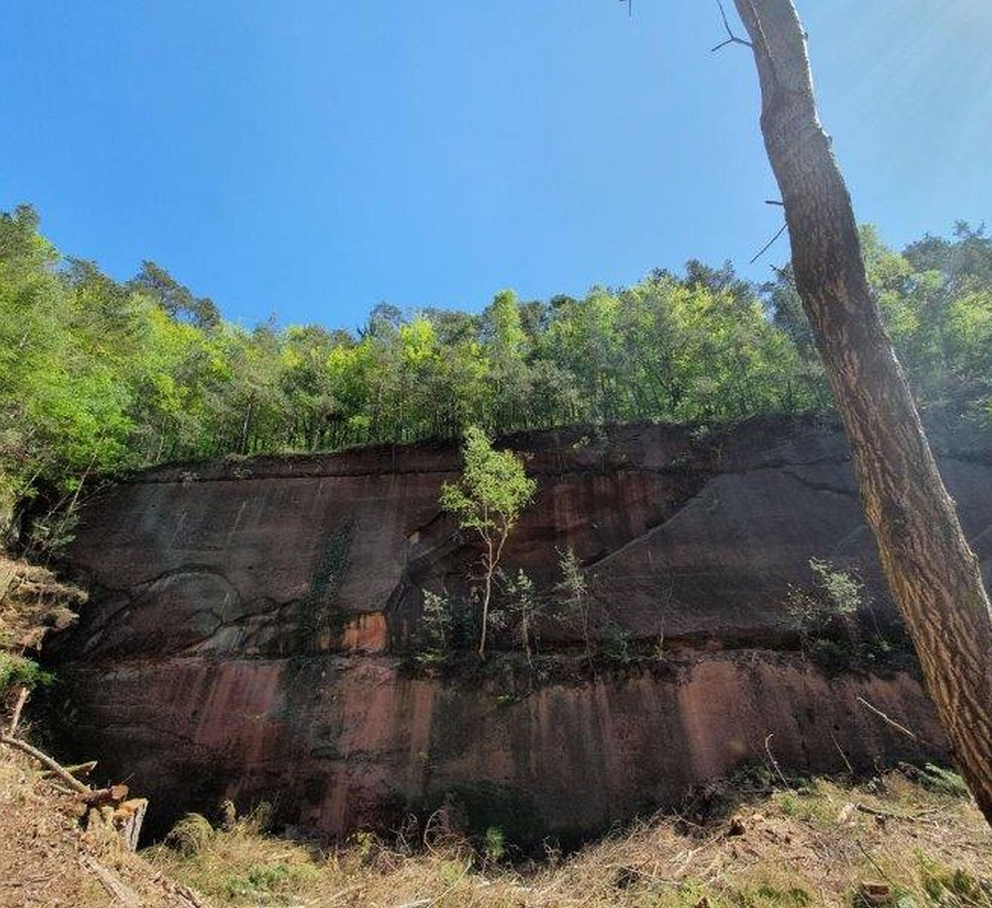
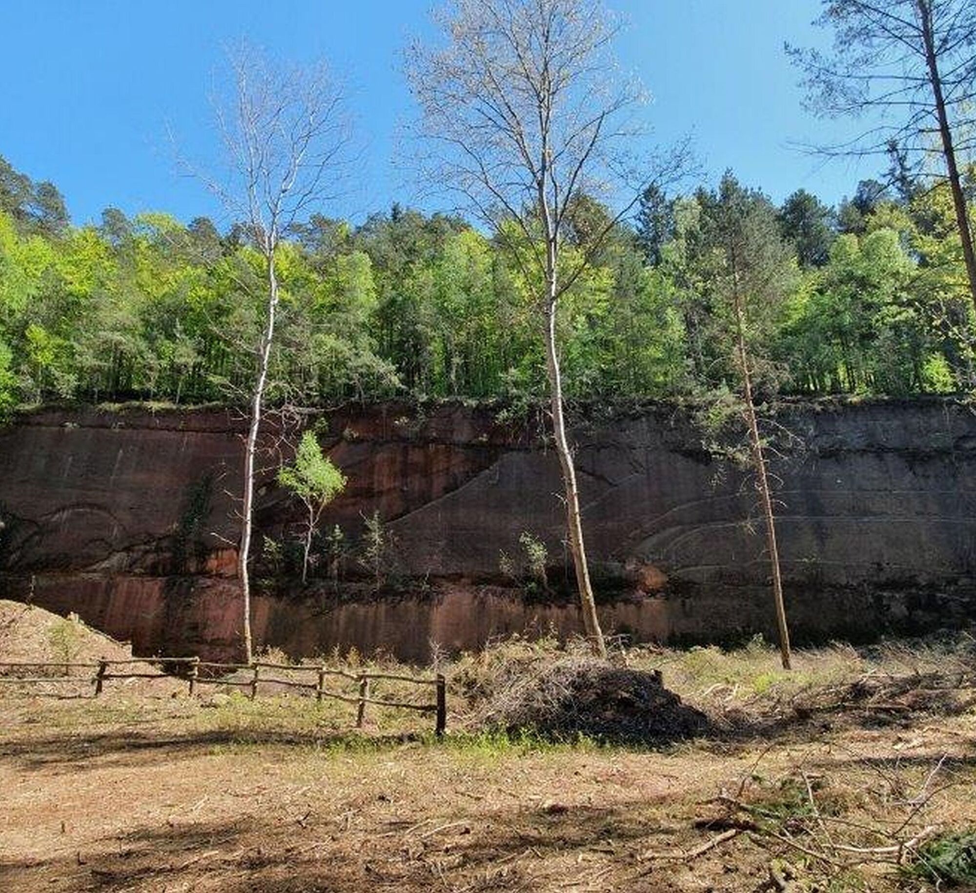
Below the Drehenthalerhof (towards Otterberg), an old historical witness, the quarry “Scheidwald”, has been uncovered — very impressive and invites you to linger.
UFFBASSE! - Campaign for respectful coexistence in nature
- Always behave in a foresighted, friendly, and considerate manner towards everyone you meet on the way.
- Respect nature, do not destroy plants, and always stay on the paths.
- Bring a trash bag for the way and take your waste home again.
- Please always keep your dog on a leash. Other visitors and animals will thank you.
- For your own safety, observe all trail closures, even on weekends.
- Only park in designated parking spaces. Leave room for rescue routes and agricultural machines.
- Give priority to agricultural and forestry traffic.

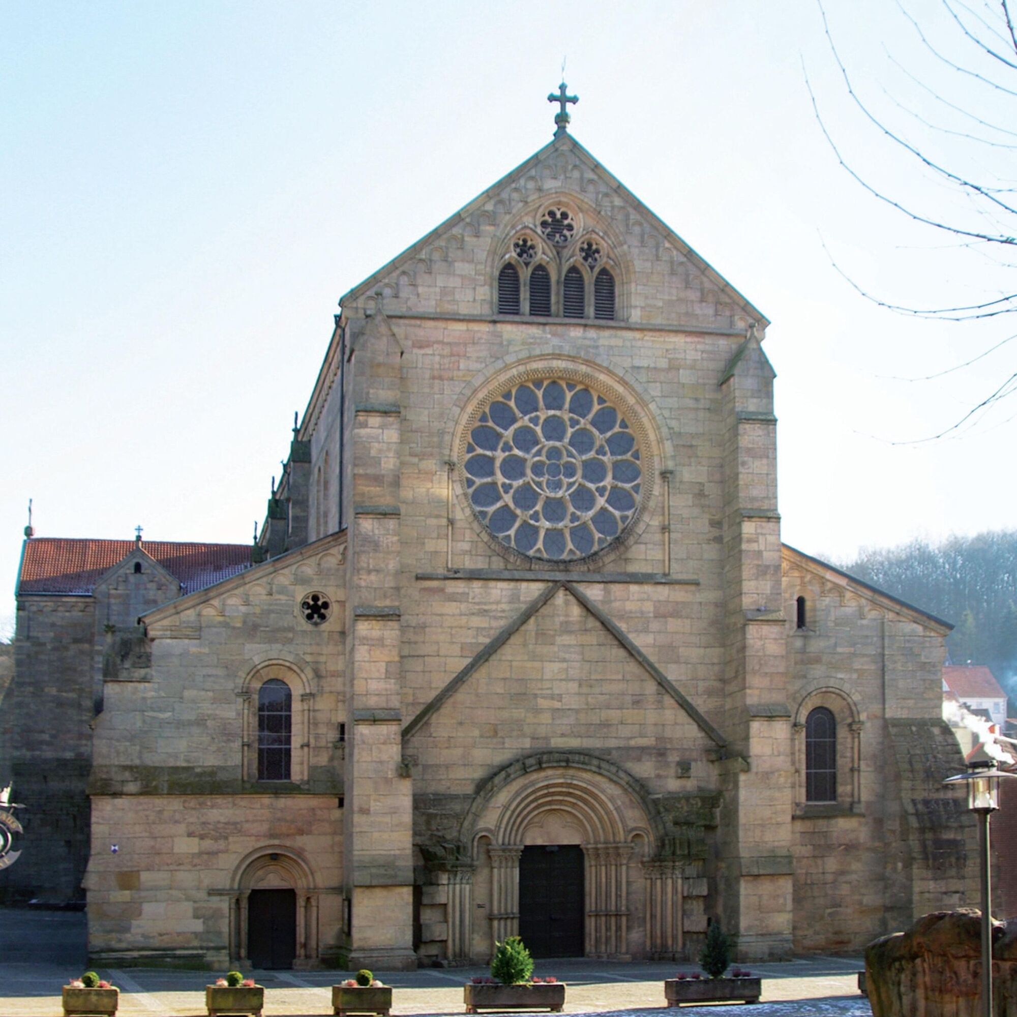

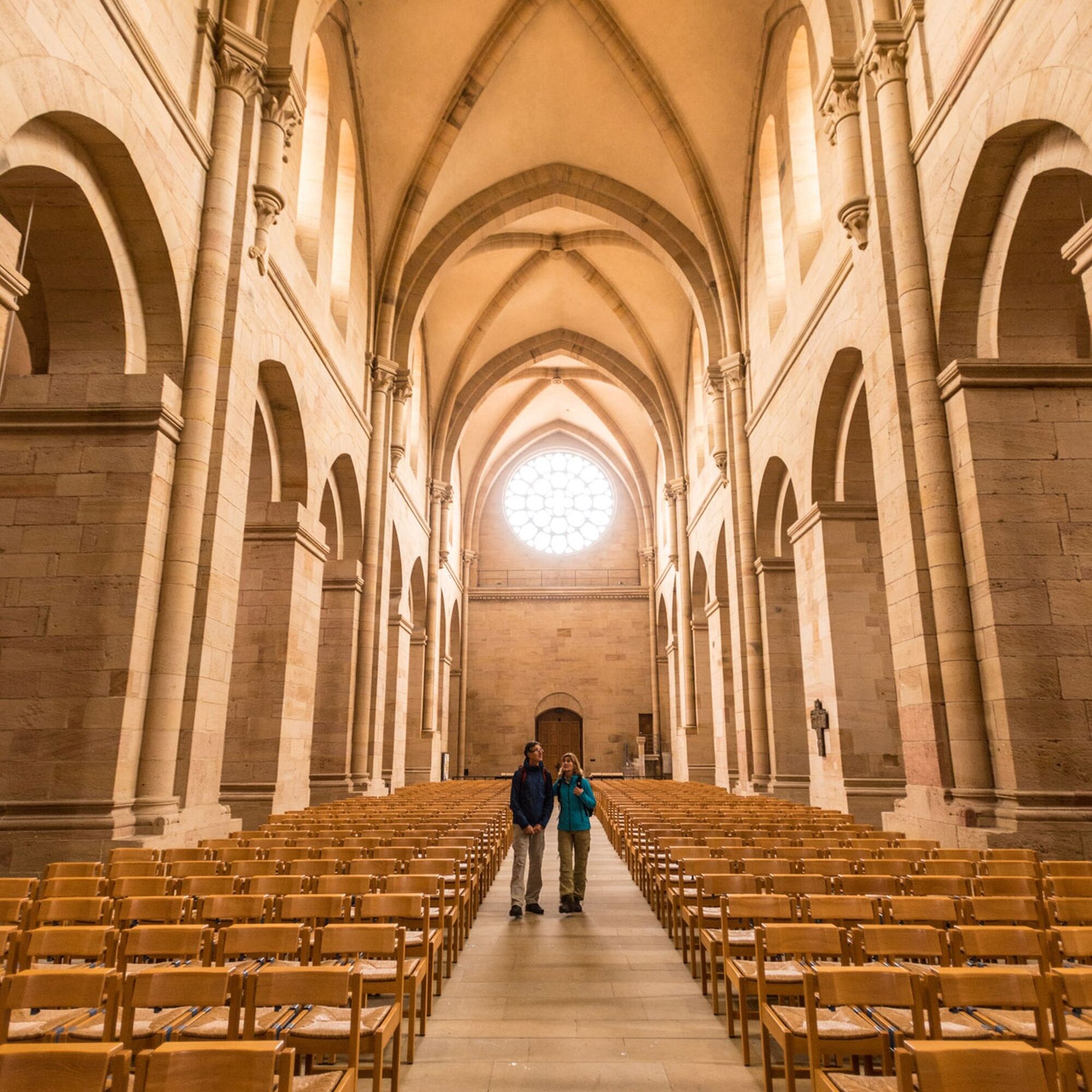
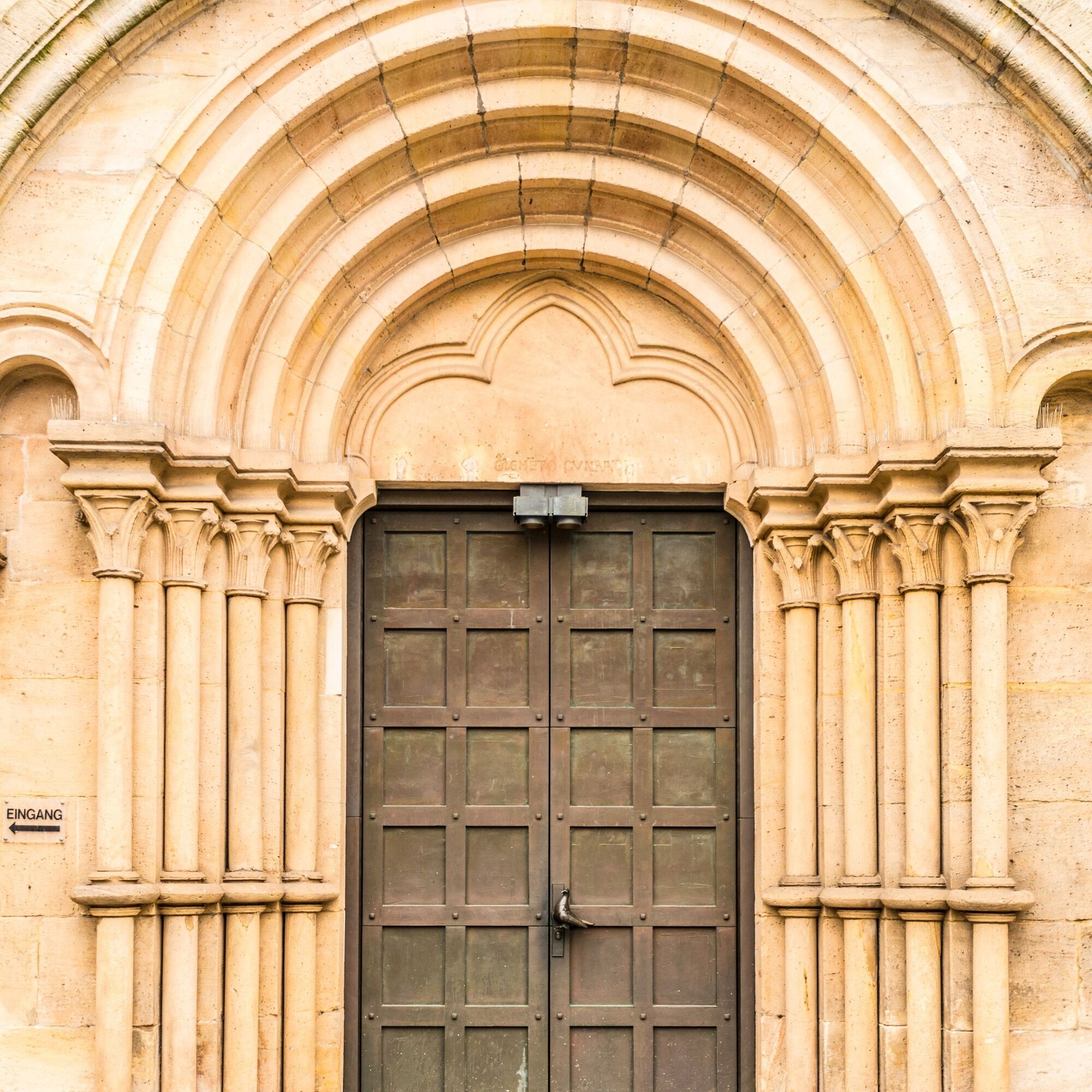
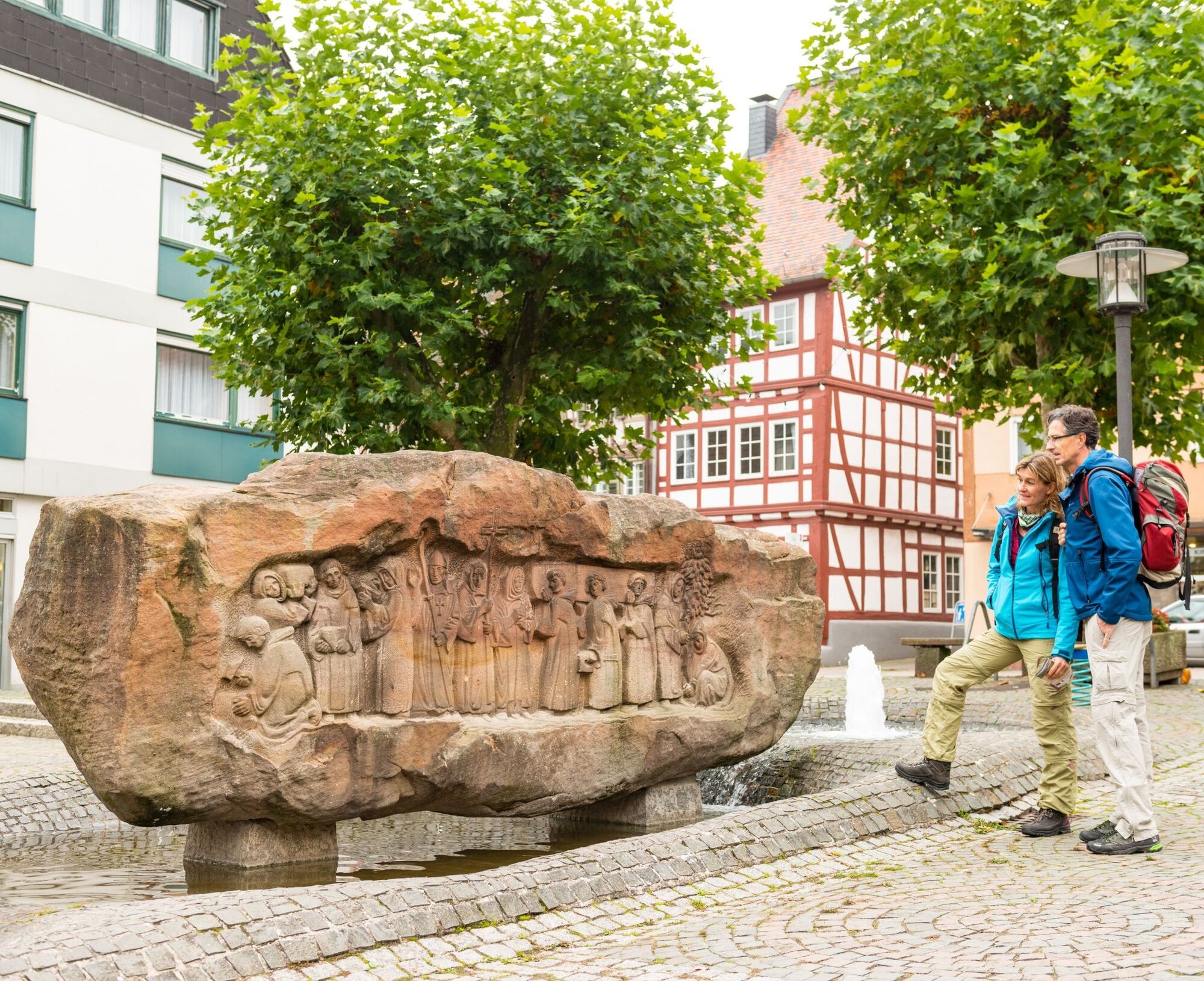
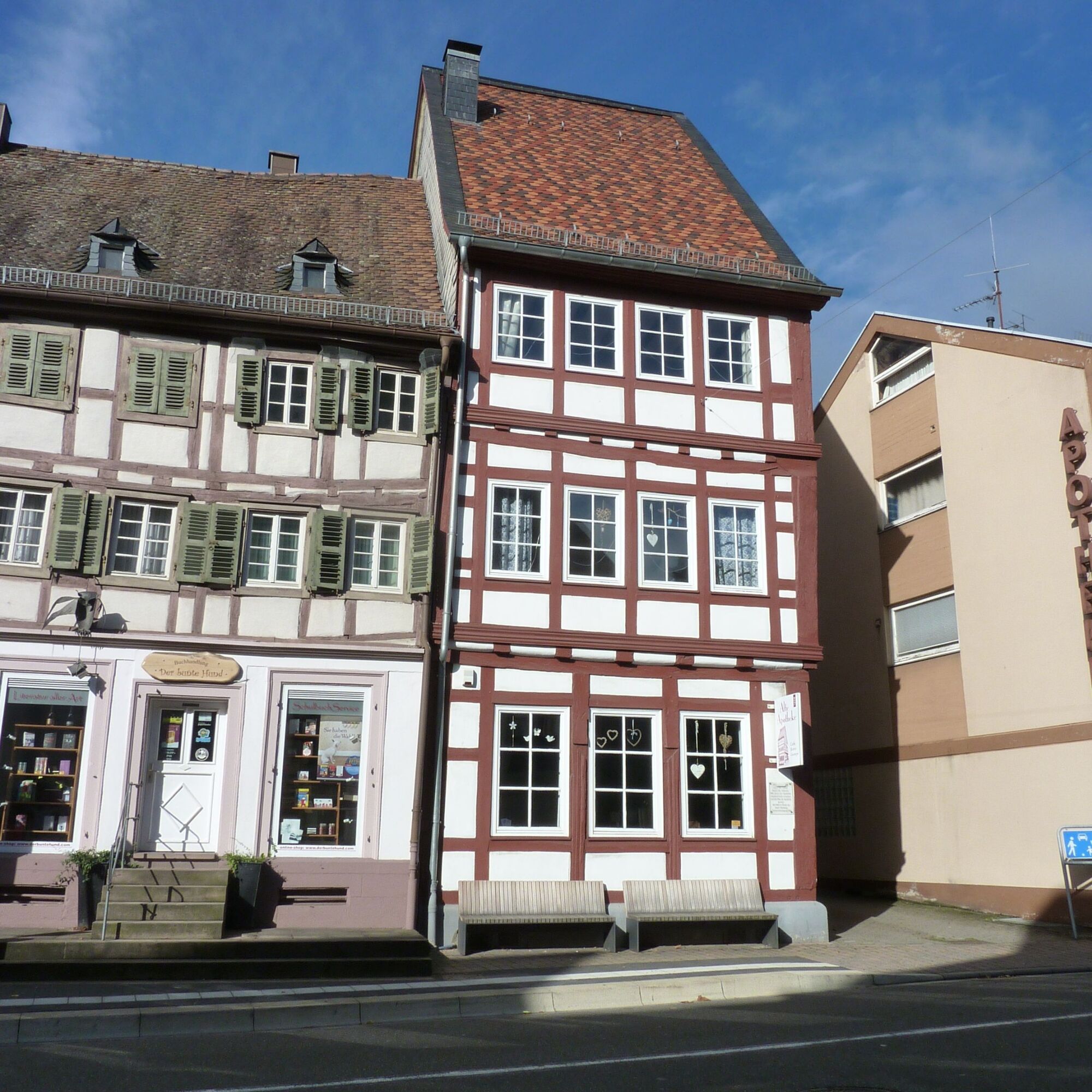
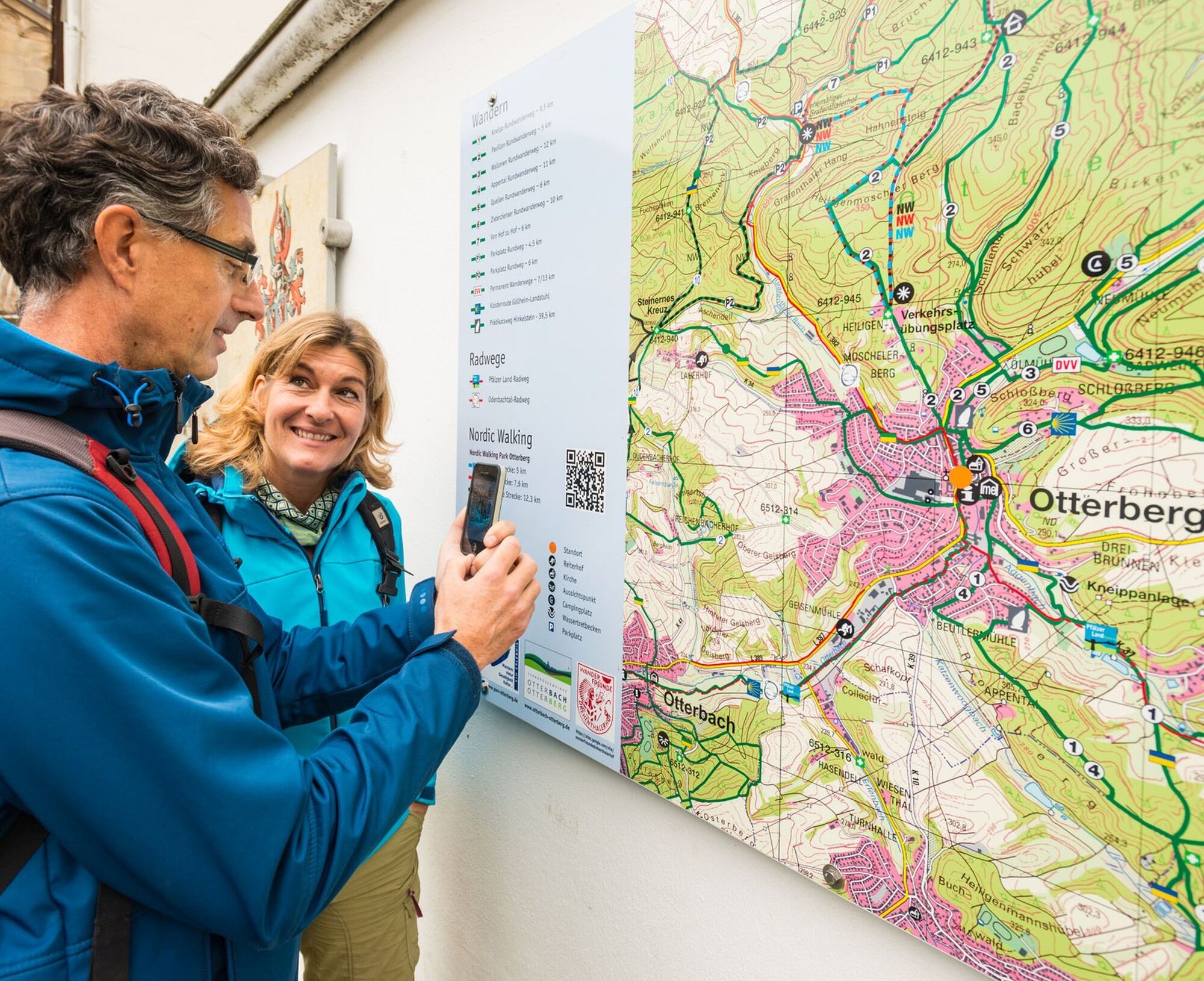
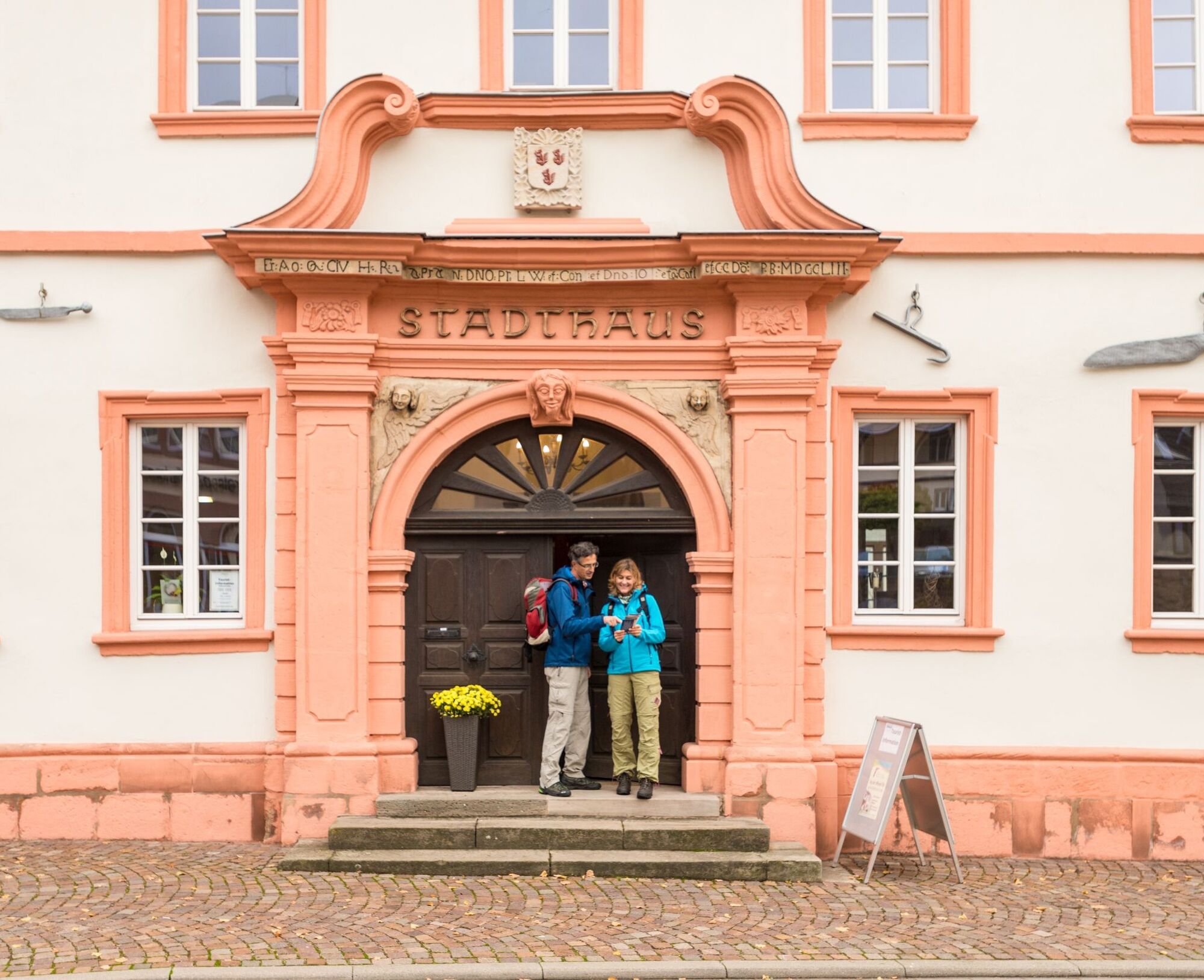
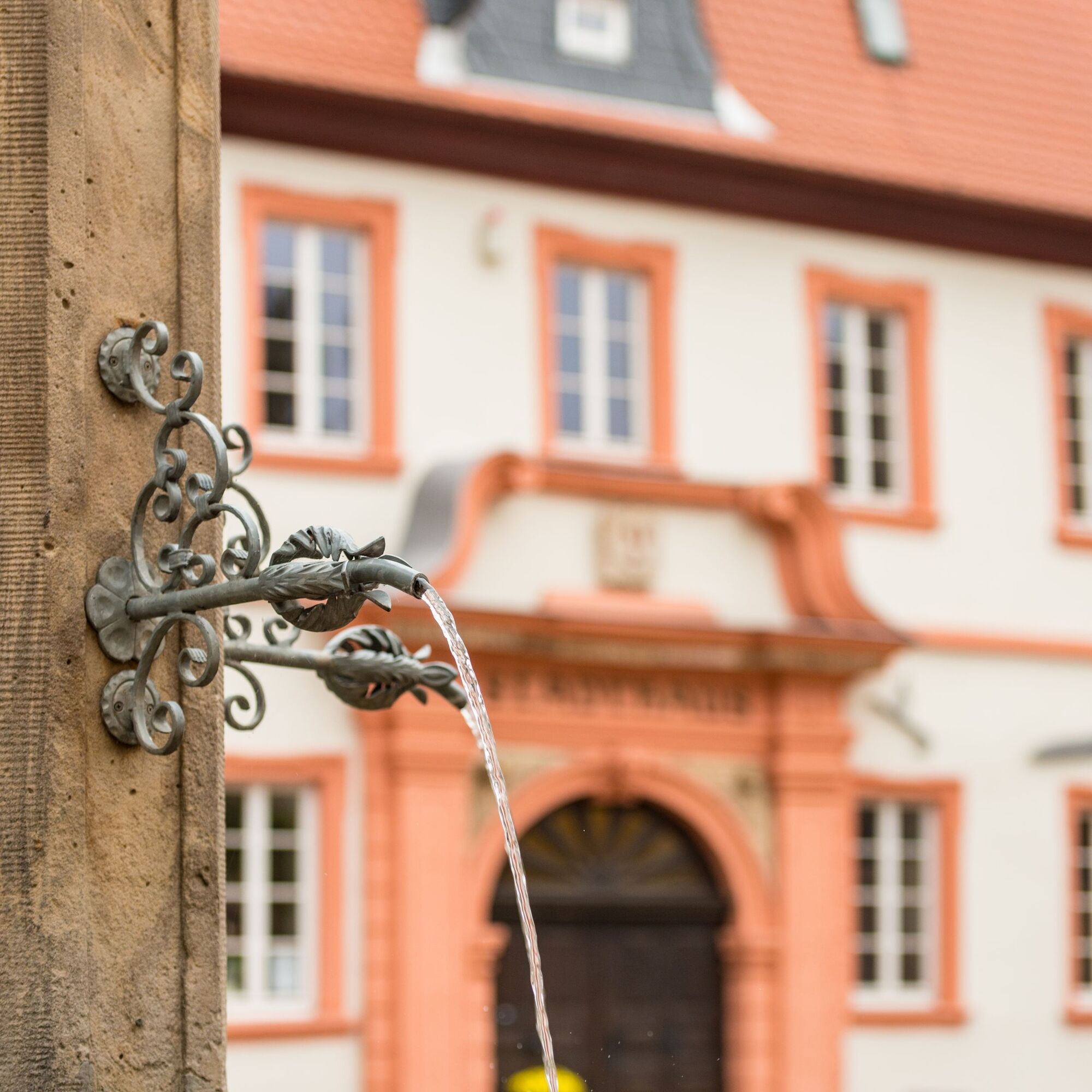
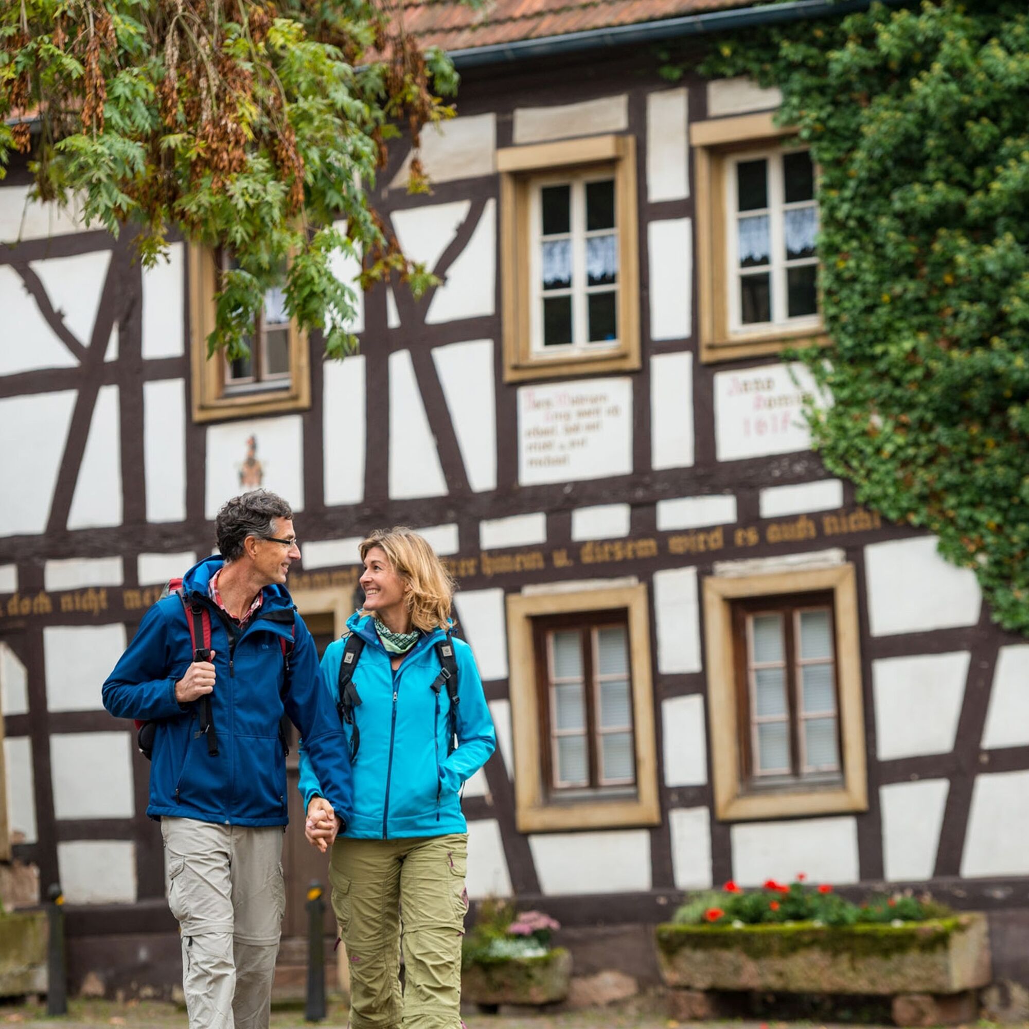
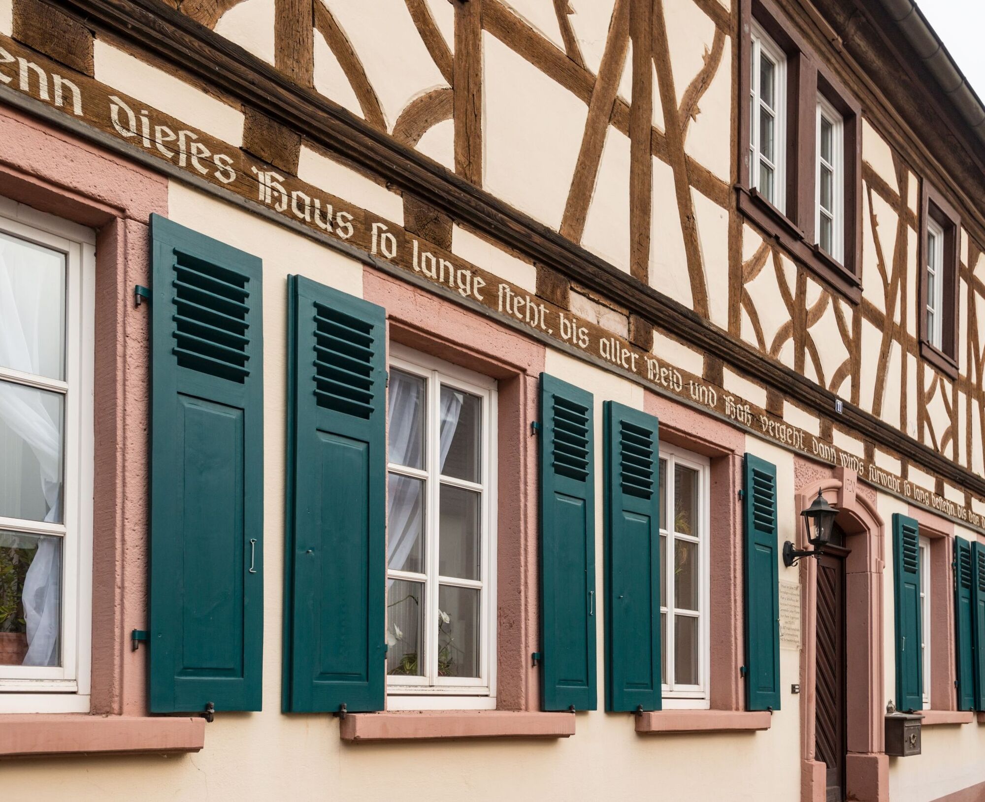
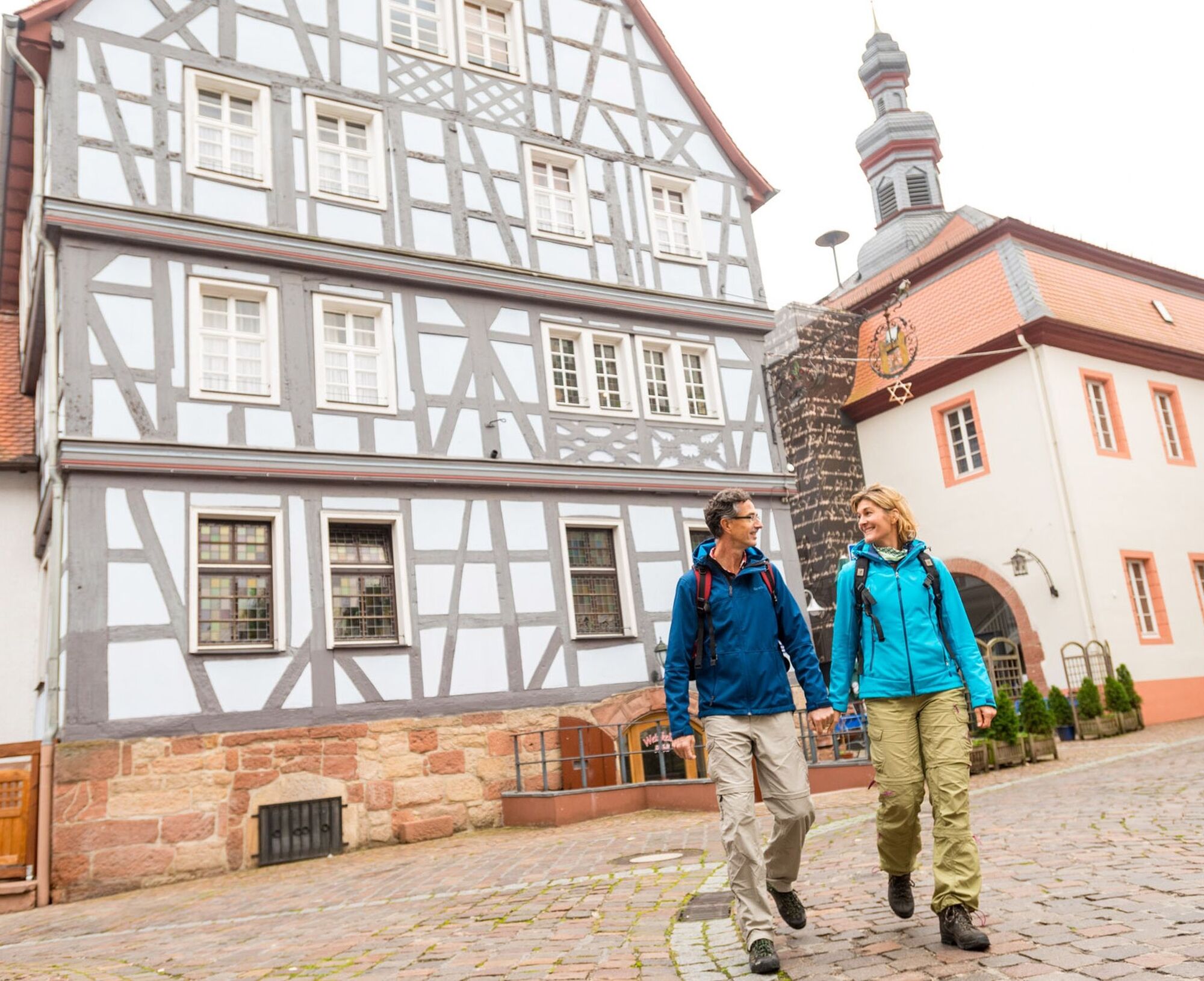
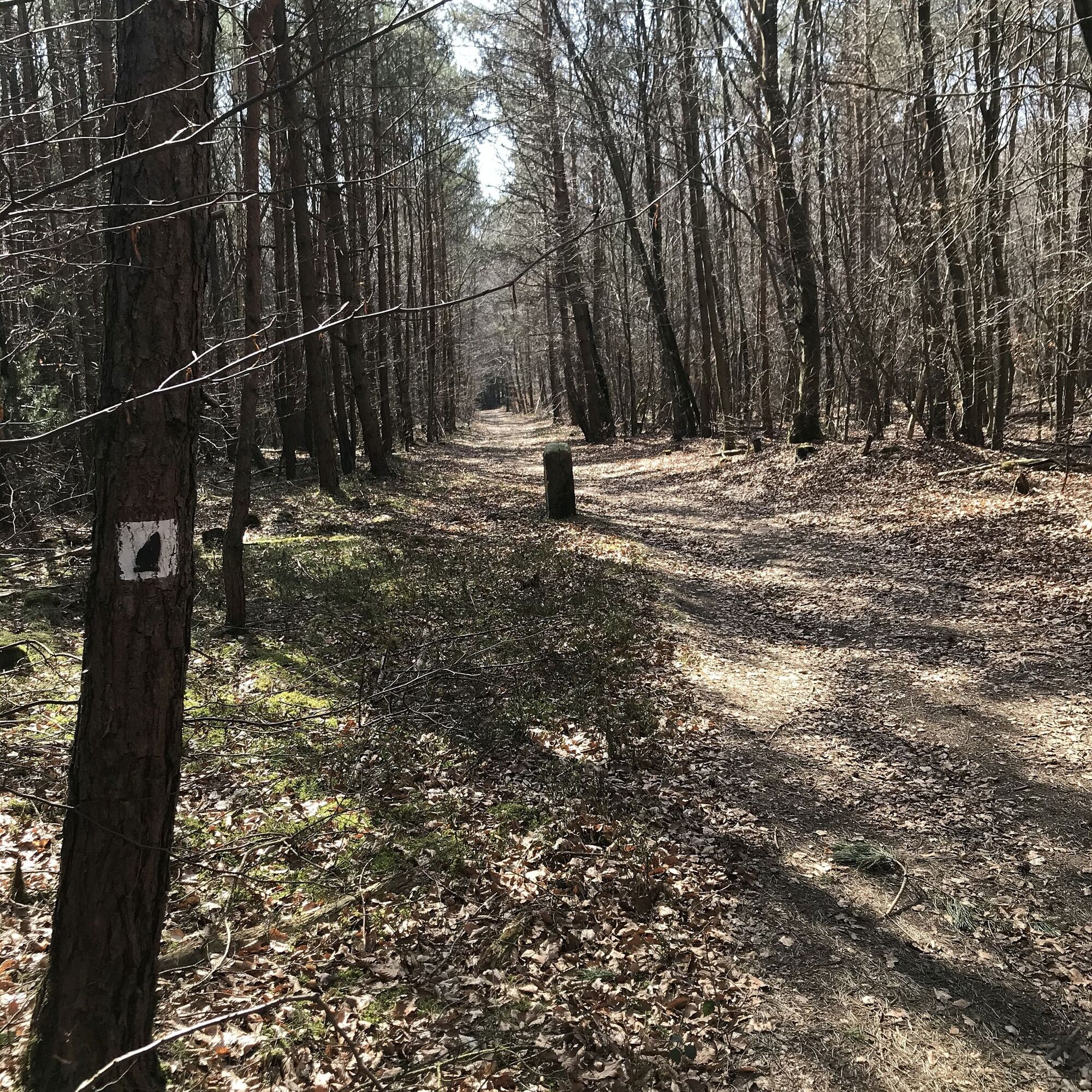
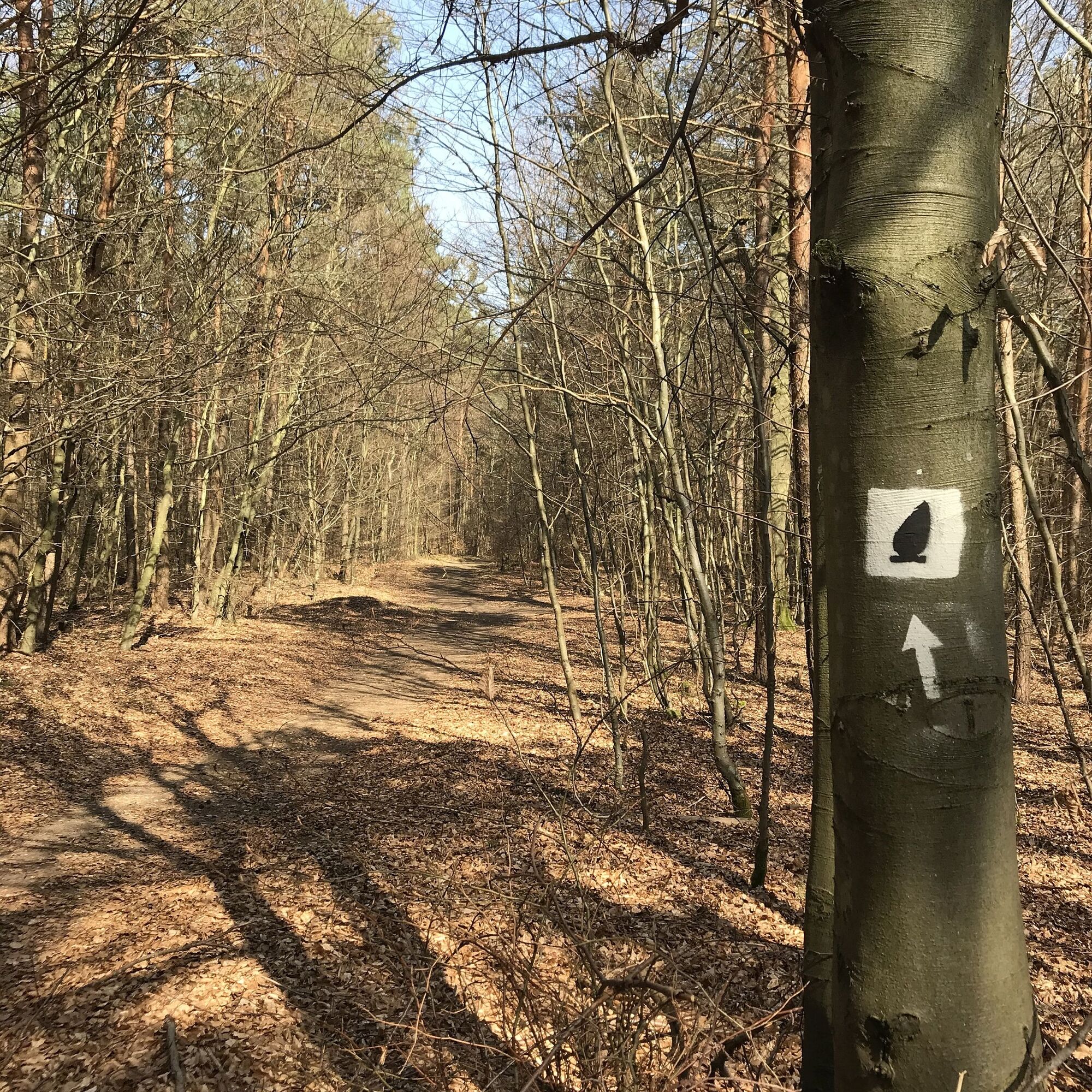
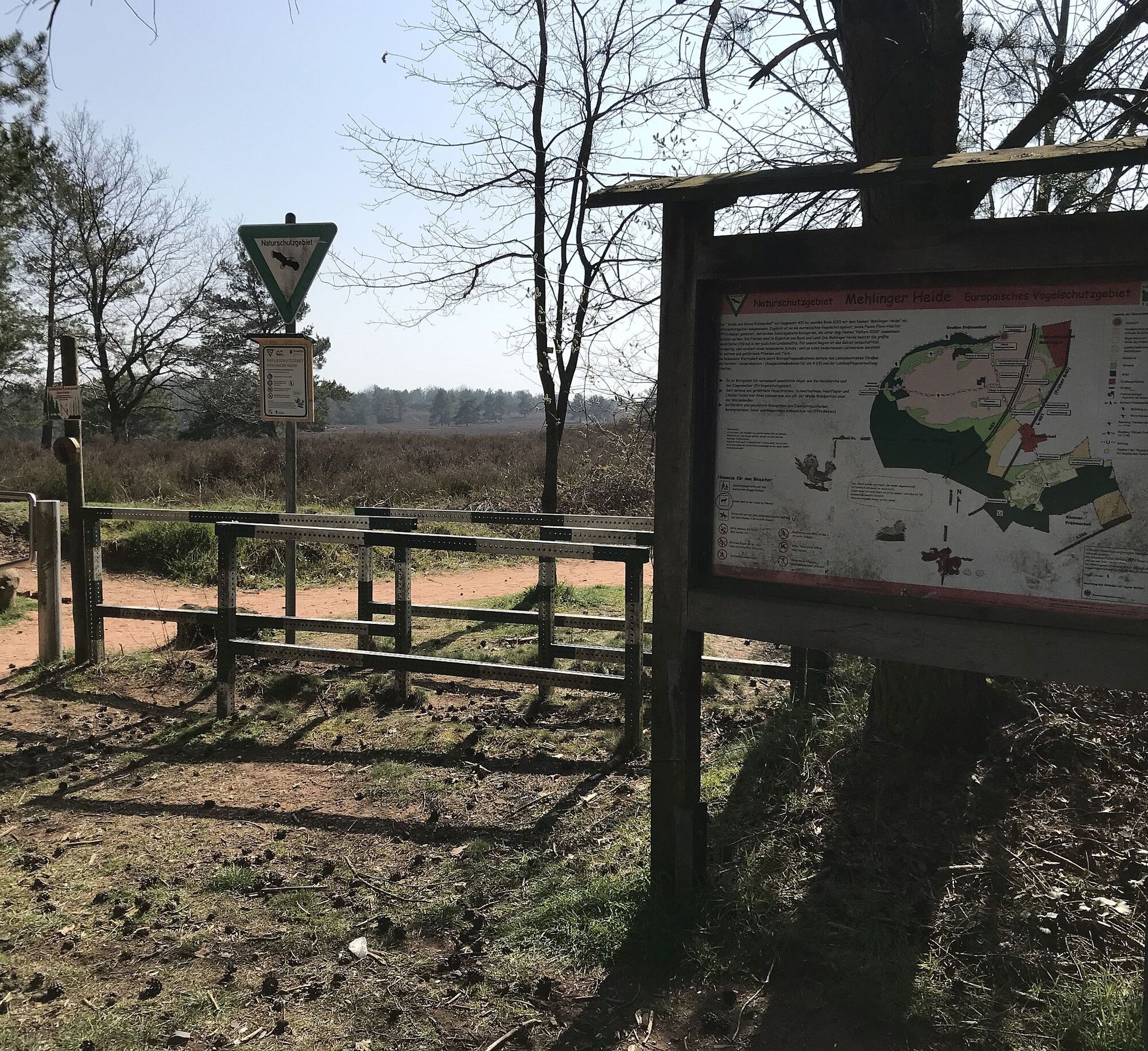
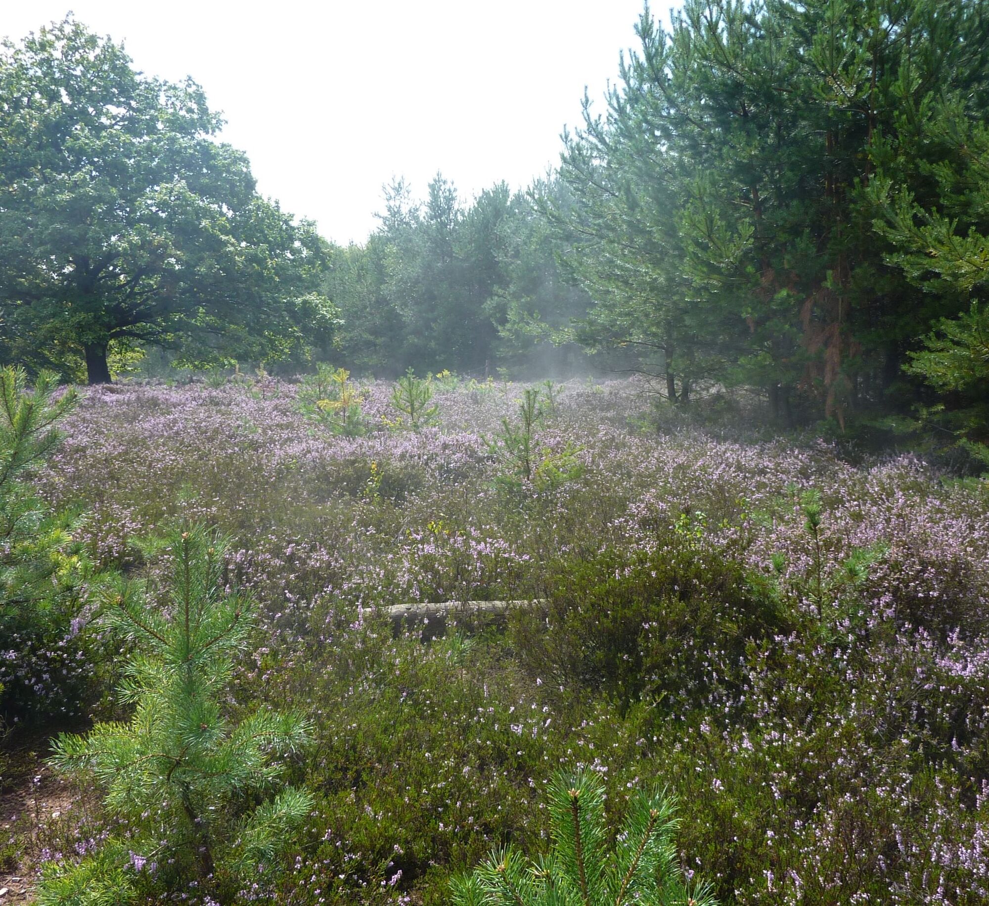
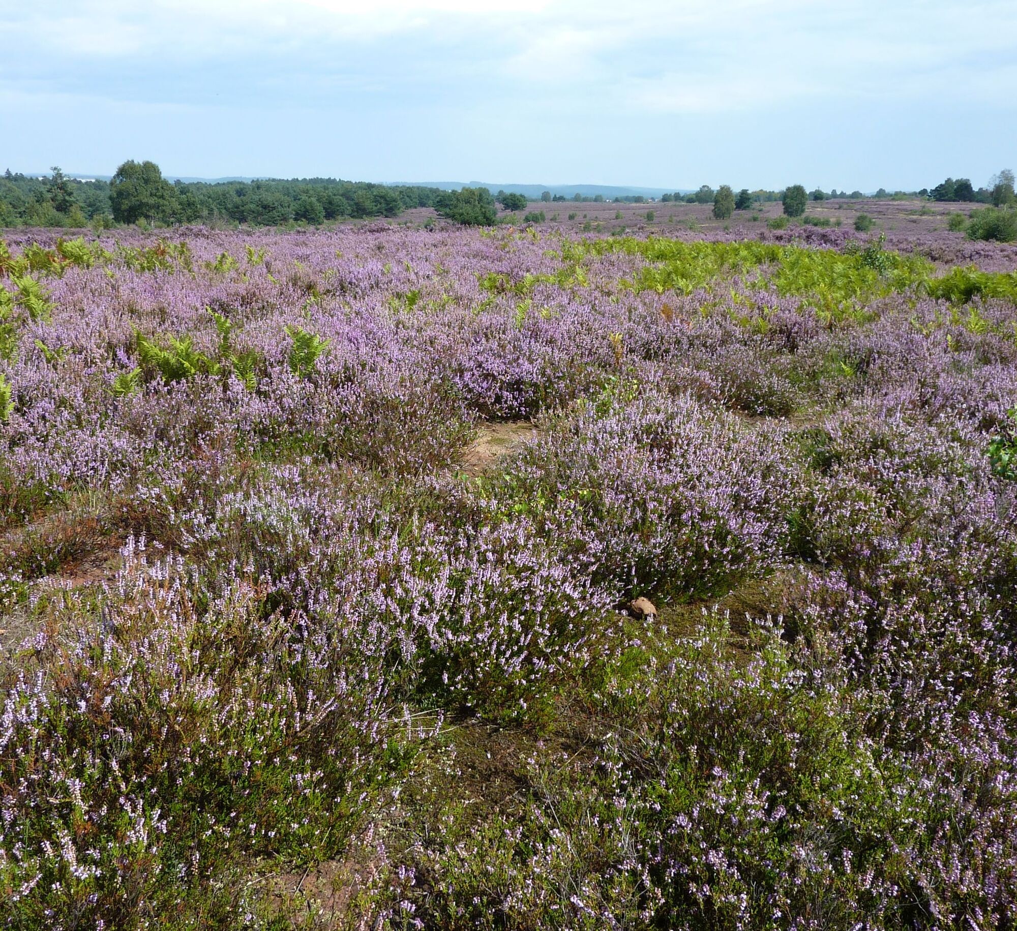
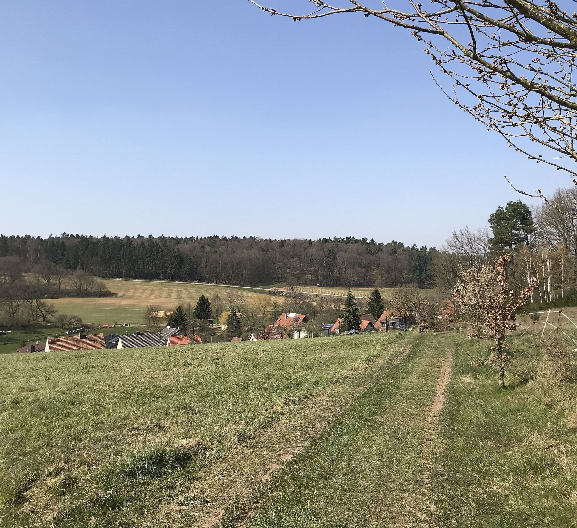
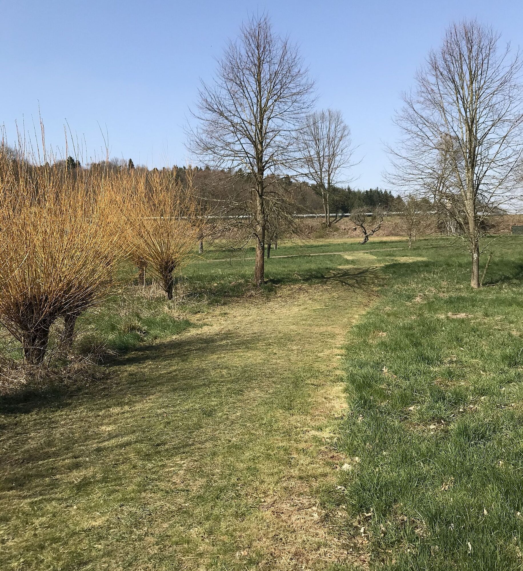
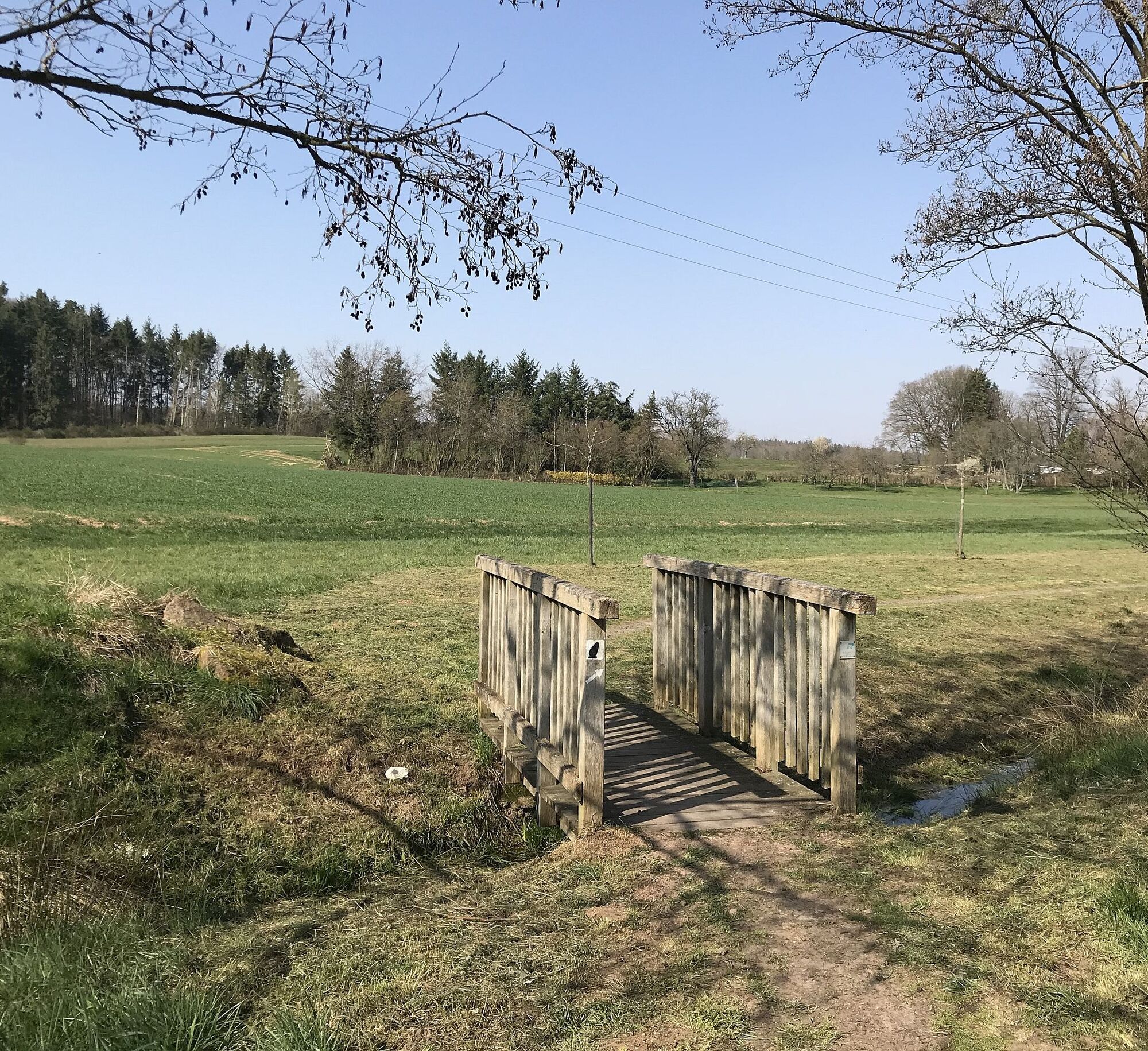
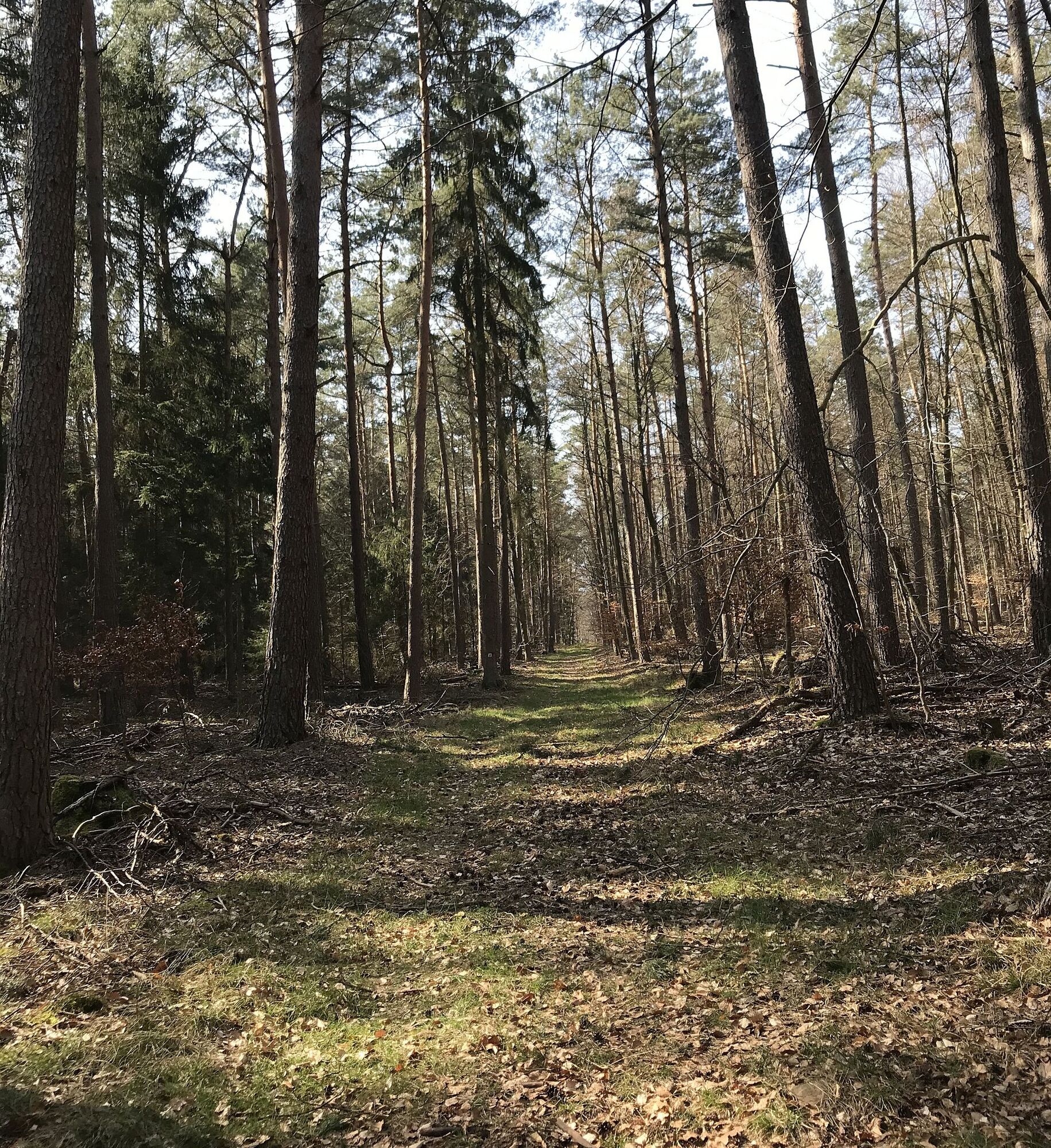
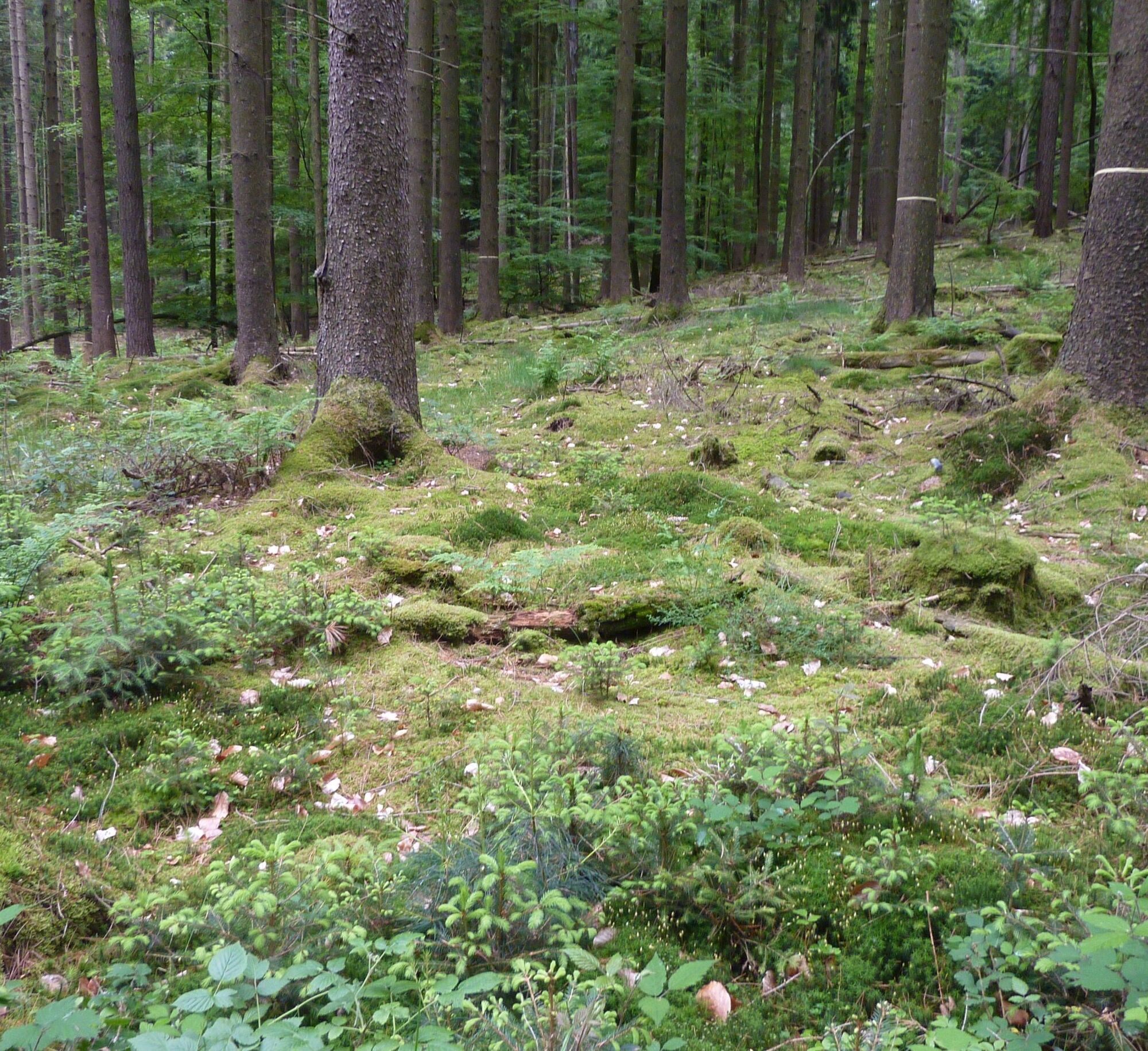
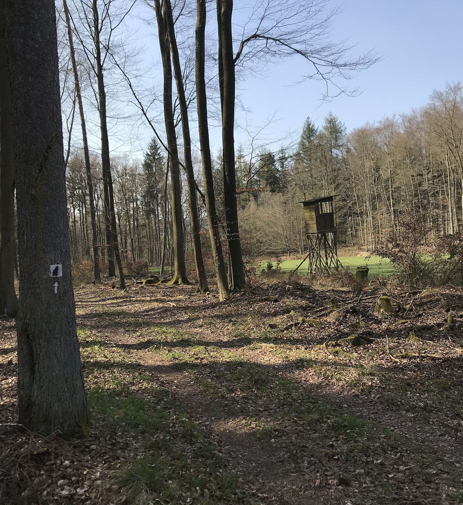
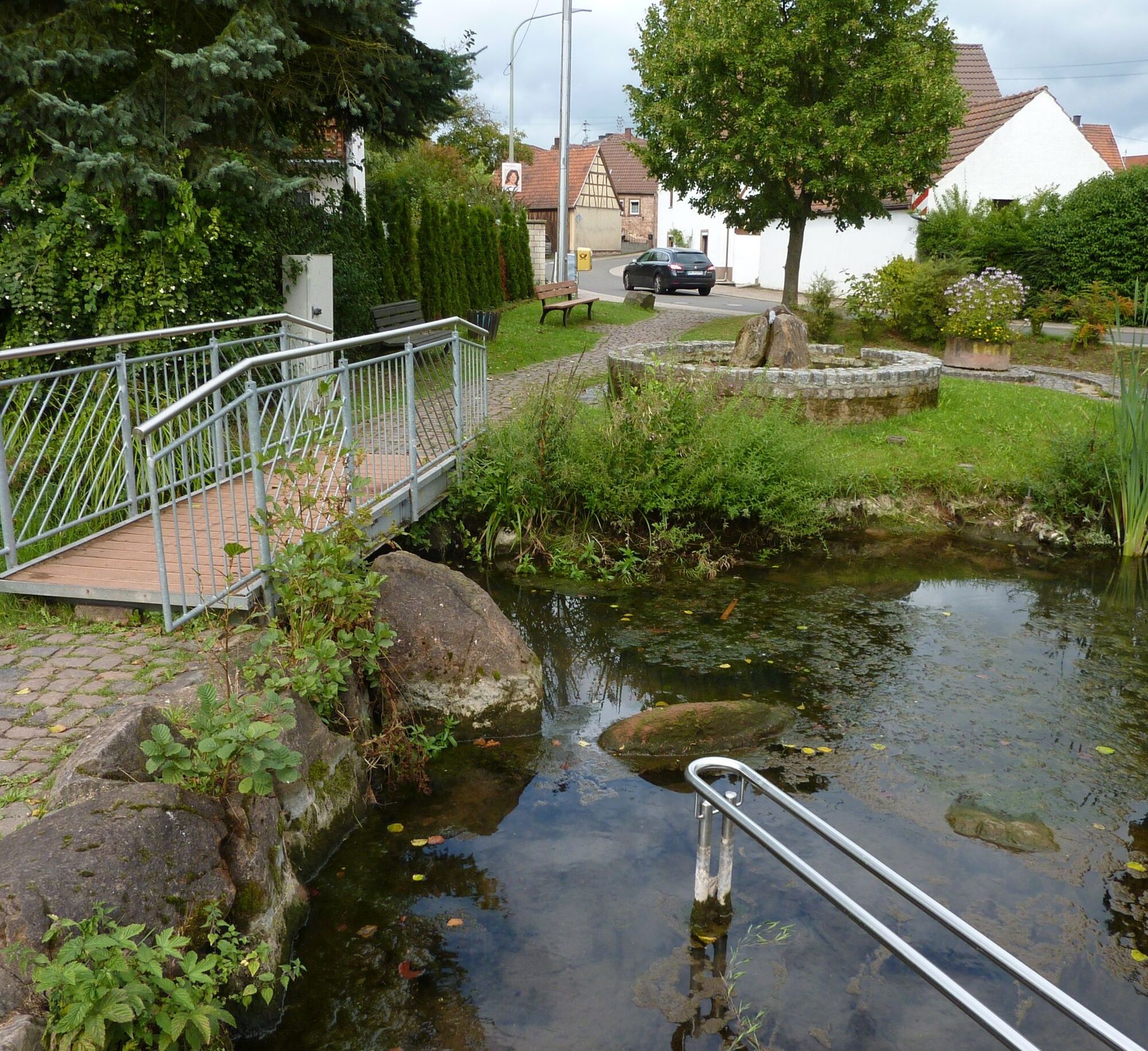
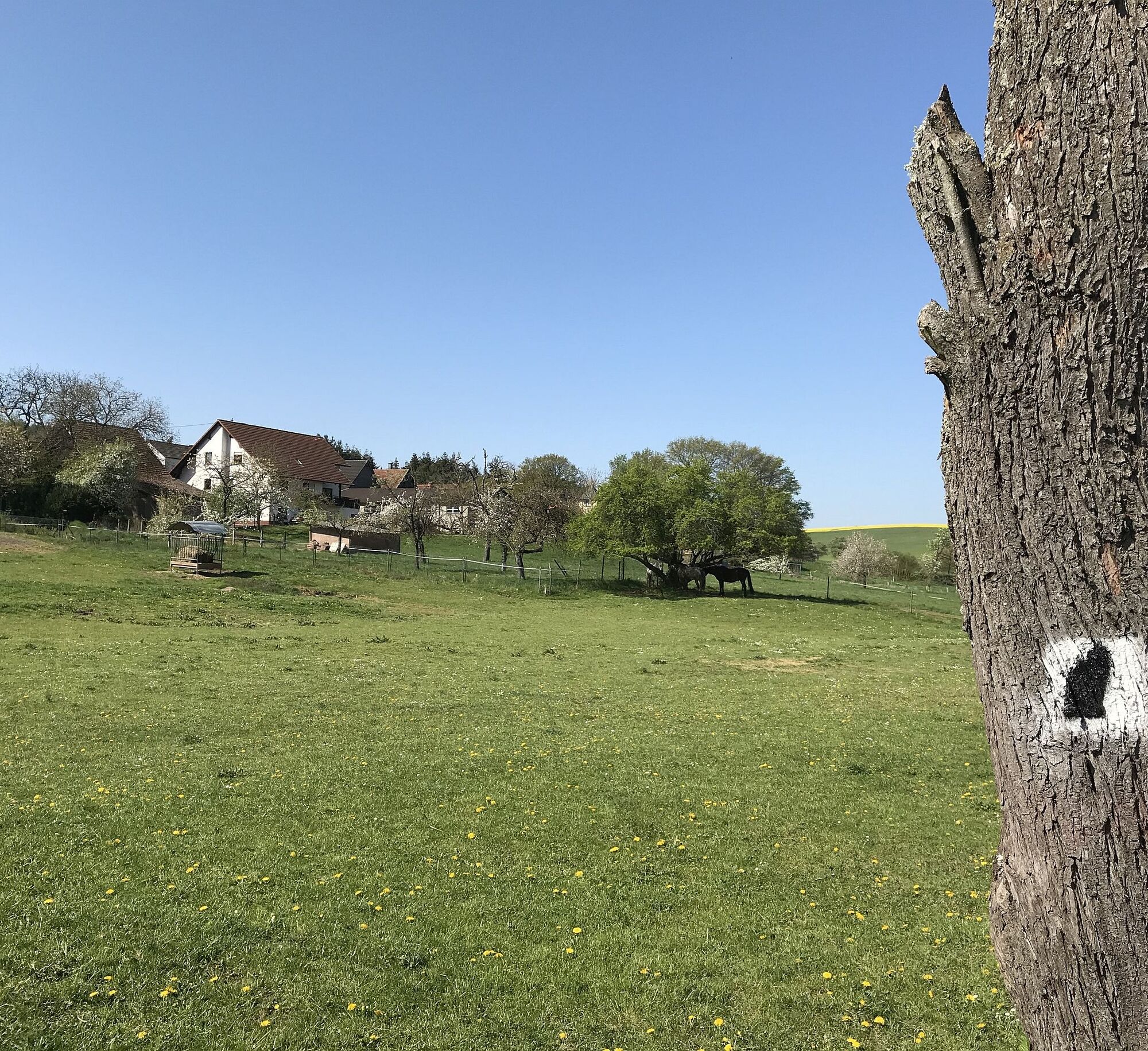
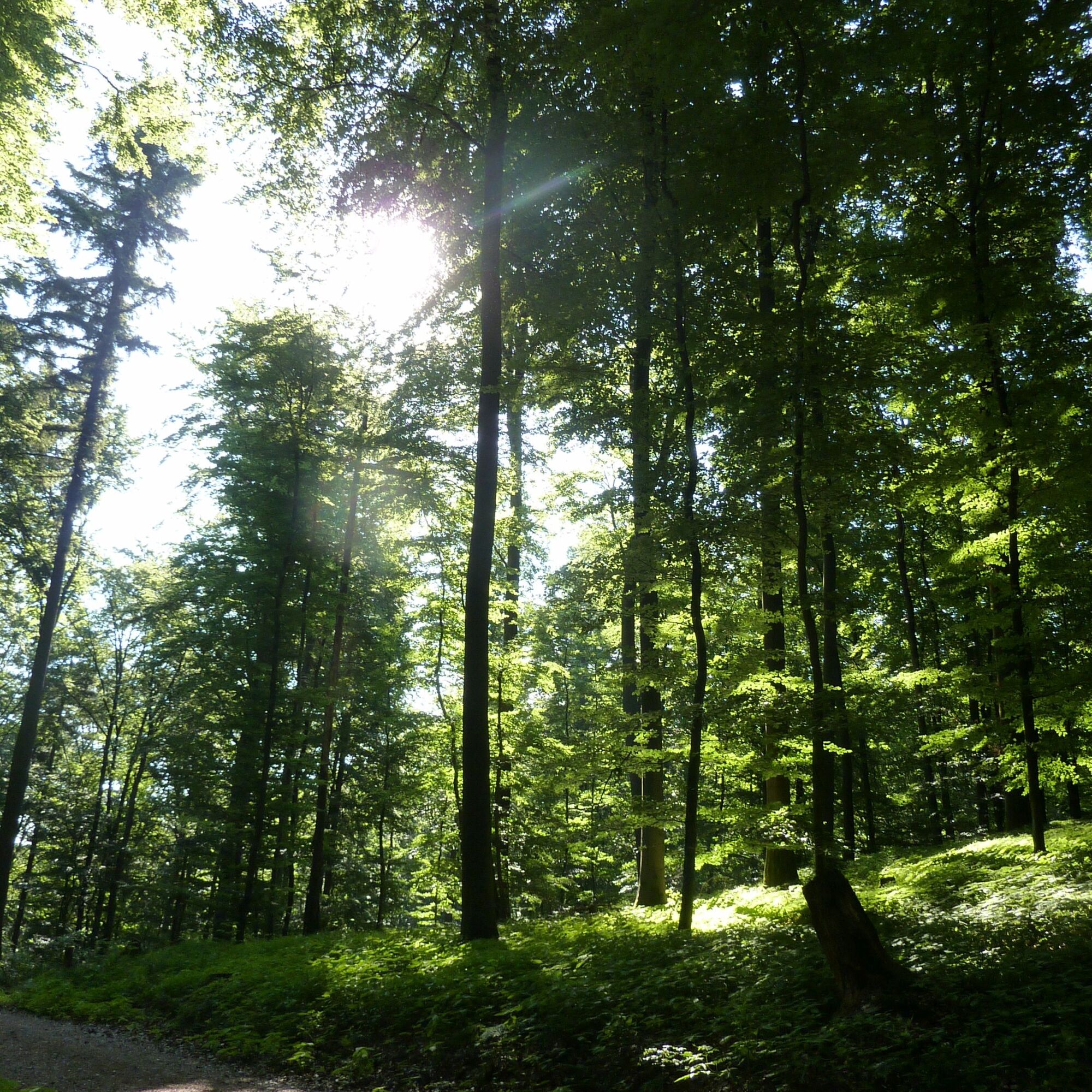
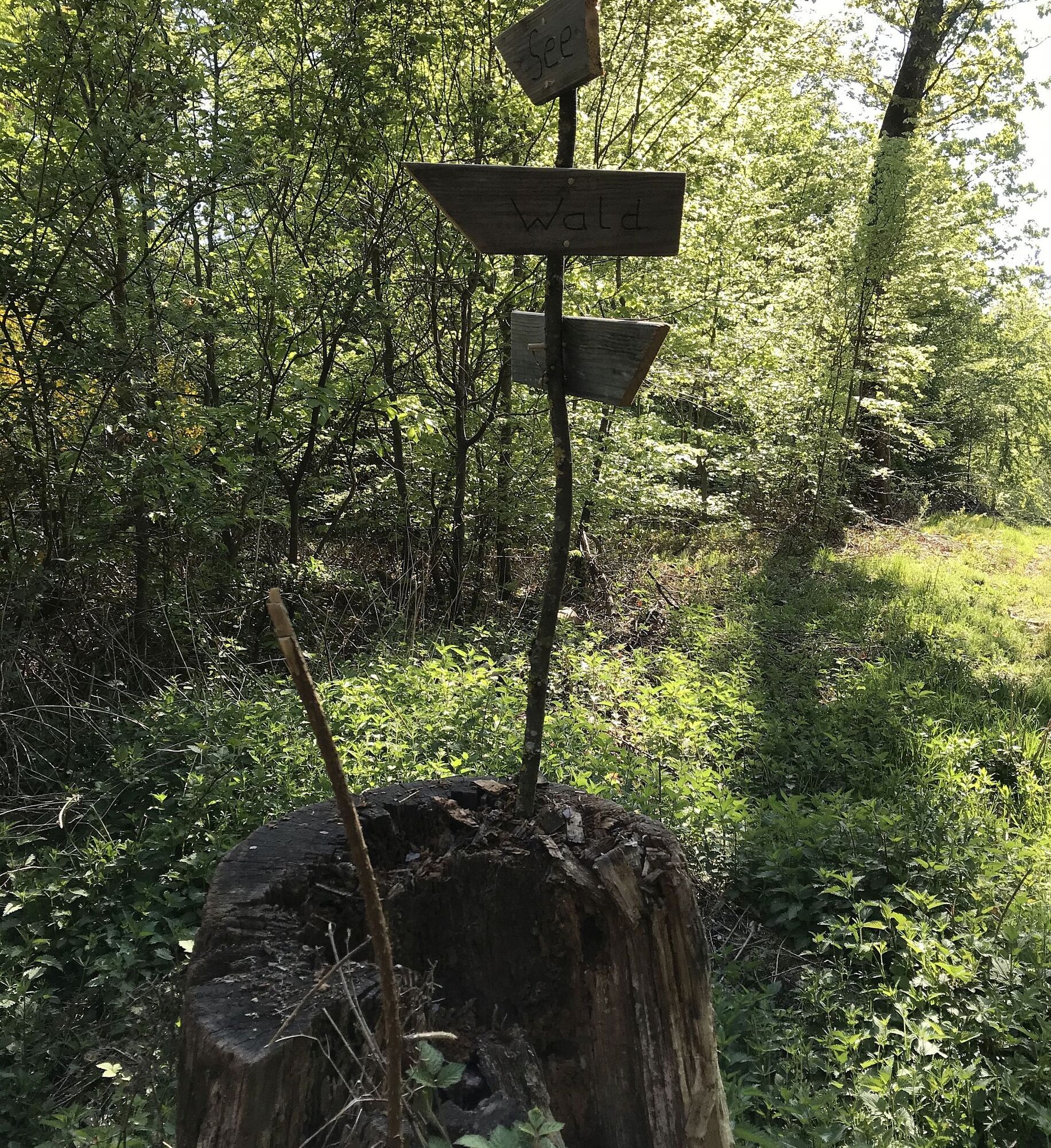
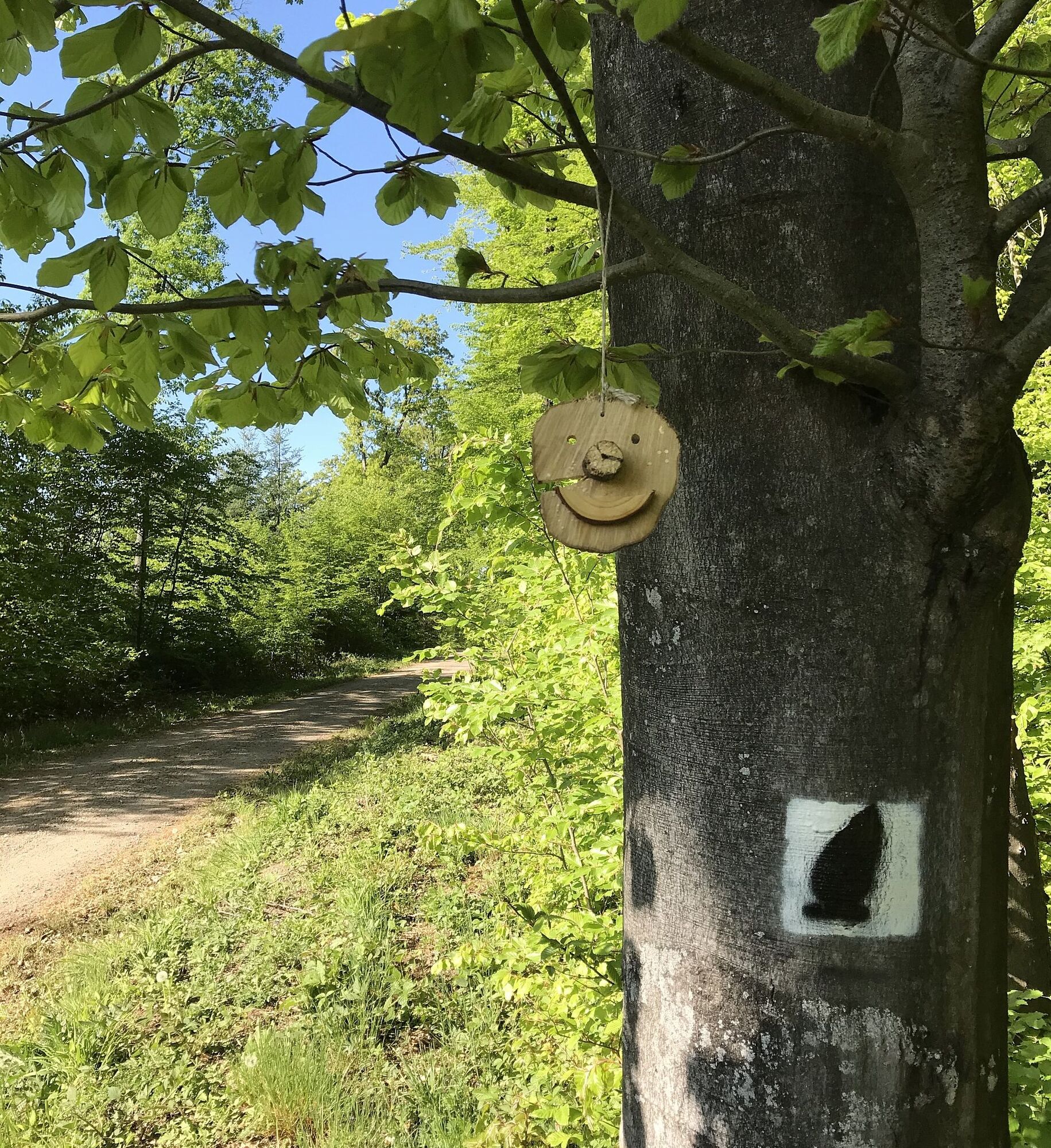
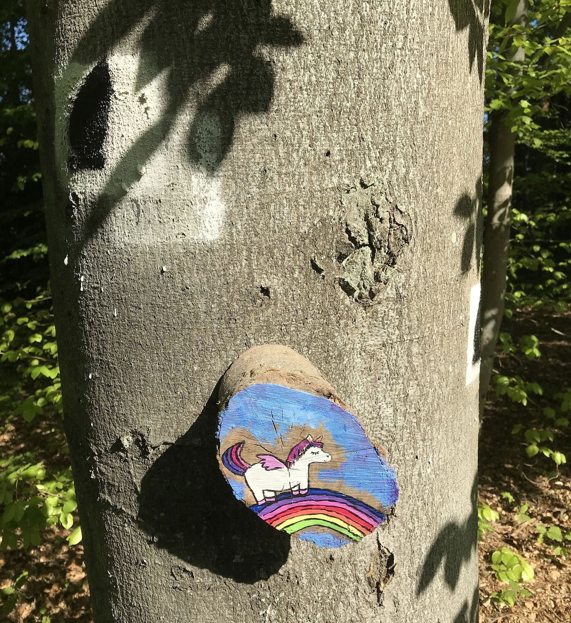
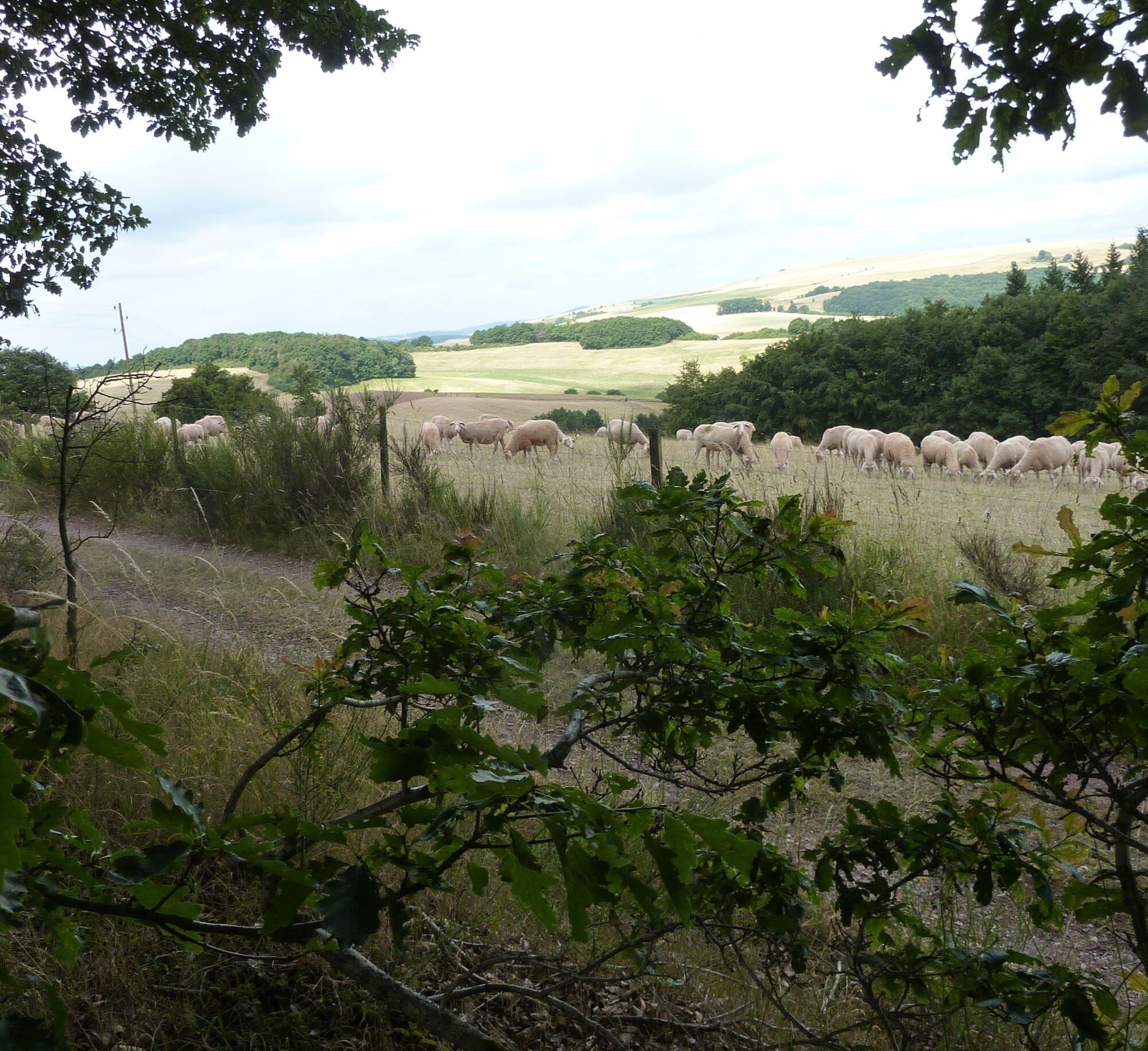
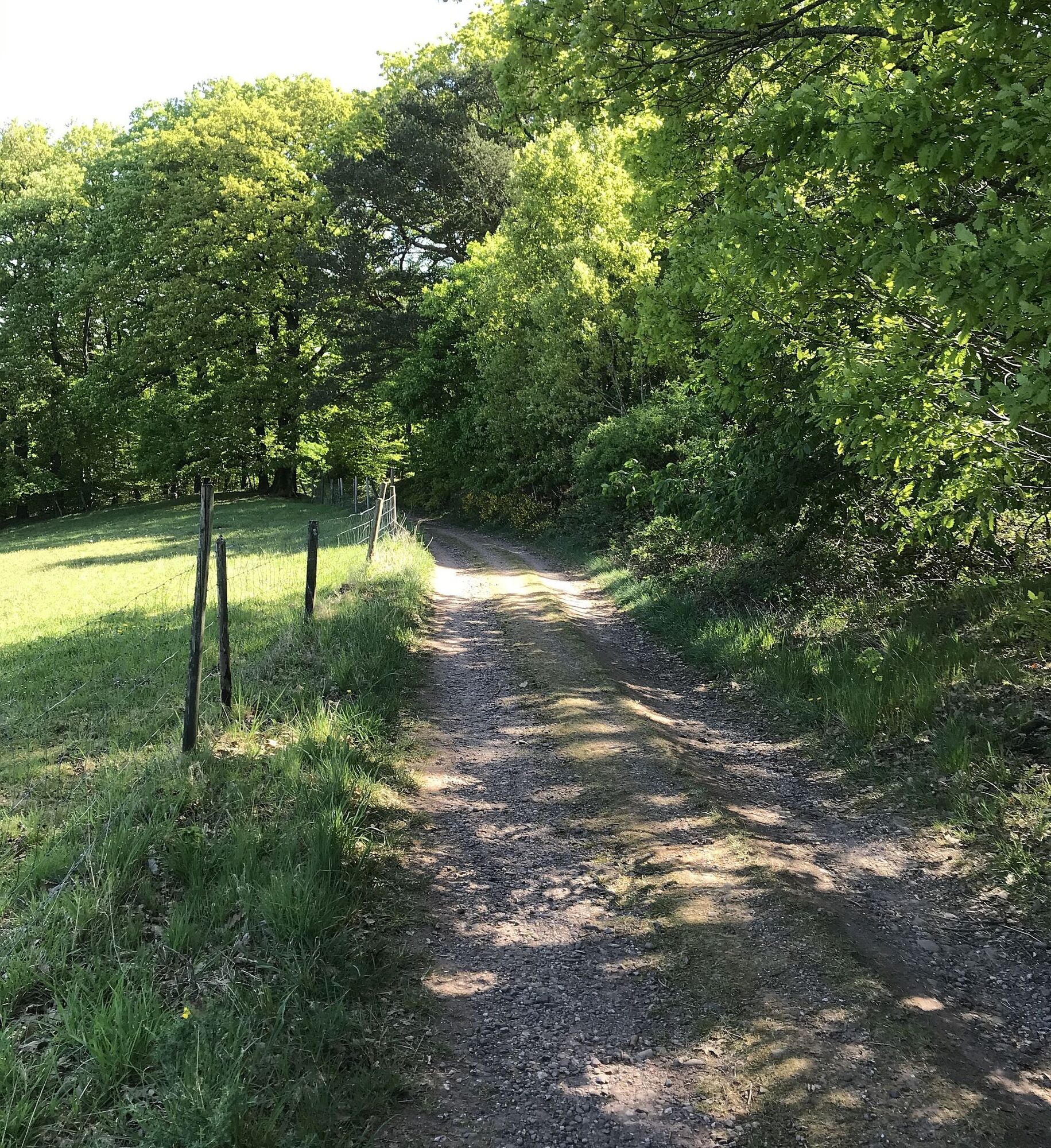
The Hinkelsteinweg starts at the Abbey Church in Otterberg, after the Speyer Cathedral the largest church in the Palatinate. We follow the stickers (gray Hinkelstein on a white background) through the historic old town, past beautiful half-timbered houses. After the city wall, we turn left and immediately right again and, after a short section on Lauterstraße, go left into the Bachstade. Following the path, we reach a paved road after the Kneippanlage, where we turn right. Always uphill, we go through Johann-Roos-Straße, turning left into the forest at Am Rotenberg. We follow the marking “black Hinkelstein on a white background” over the Pfifferlingsberg and turn right at the large crossroads, partly uphill to Götzenwooger Hang. Following wonderful forest sections, we turn right again, where, along the Streifelberg, we reach a seating area commonly called "Ultesrast". We continue hiking along the edge of the Mehlinger Heide to the official entrance of the Mehlinger Heide, one of the largest heath areas in southern Germany. A visit is especially worthwhile in August, when the heath is in full bloom.
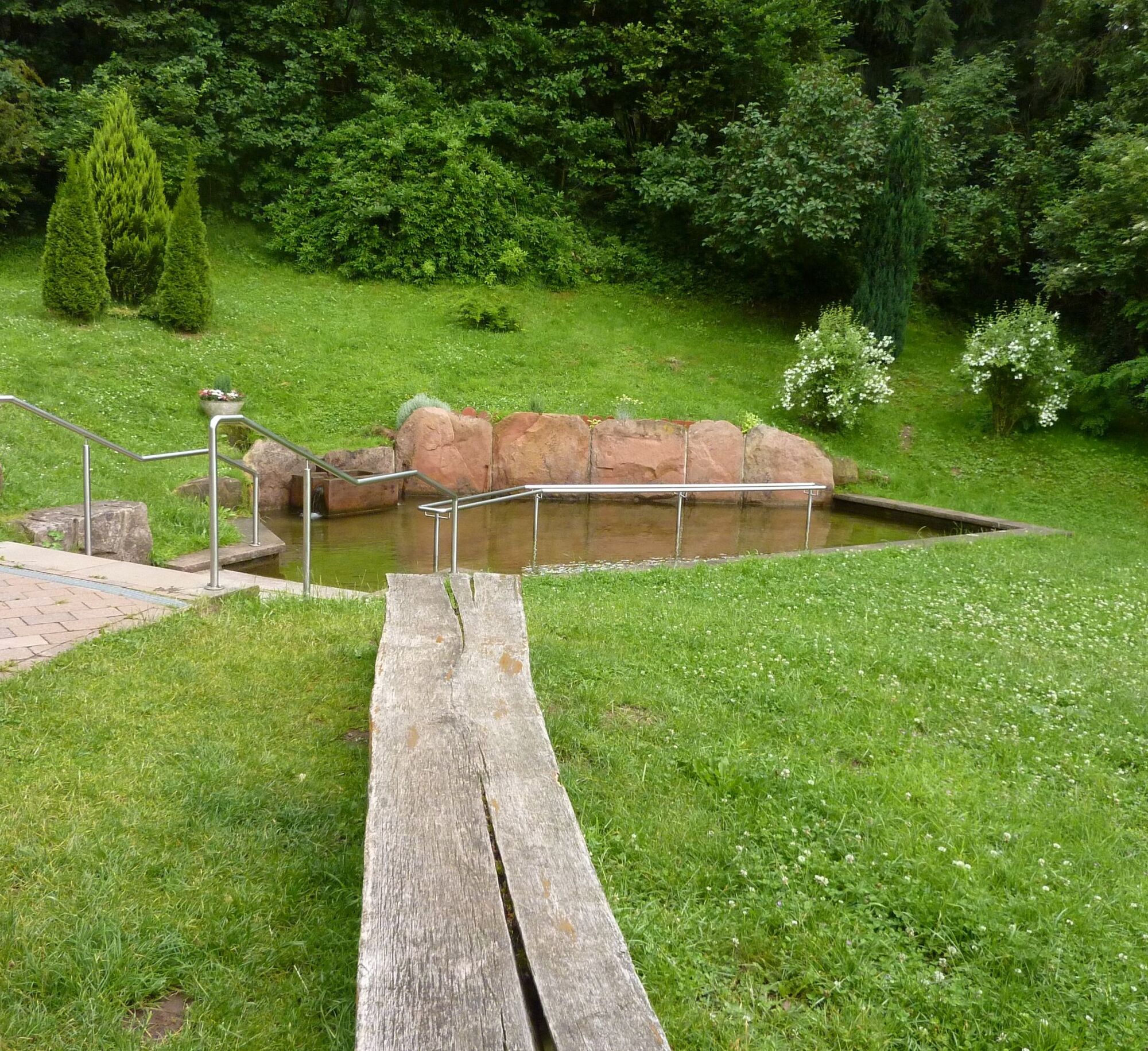
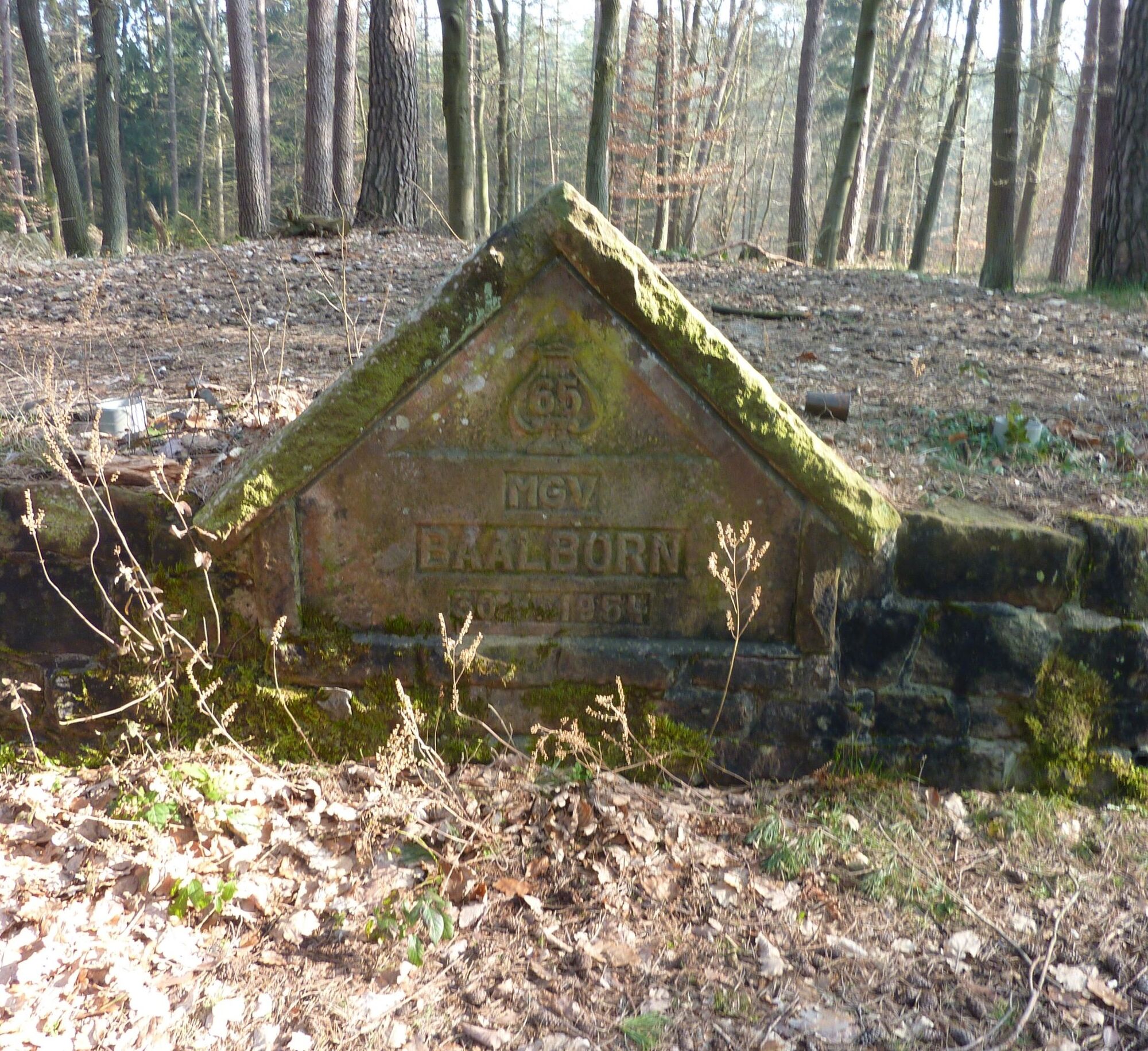
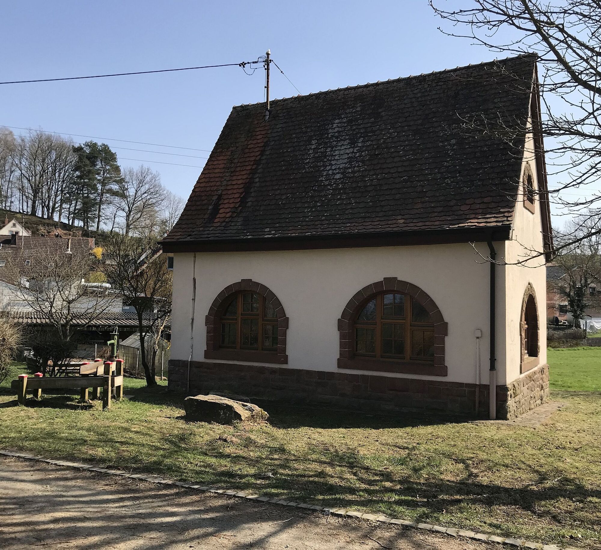
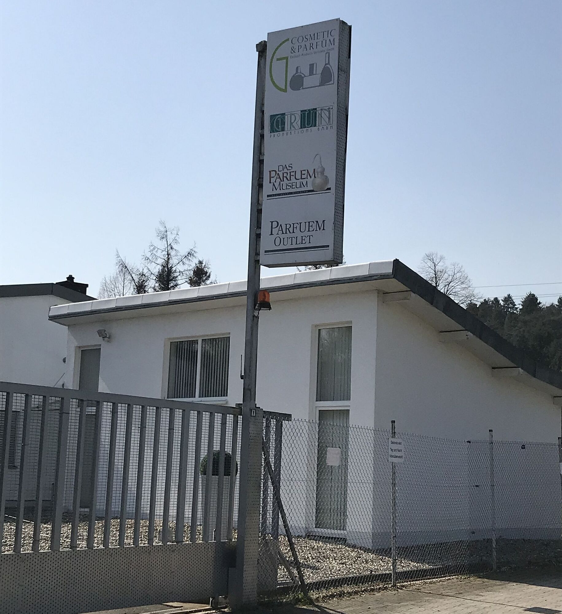
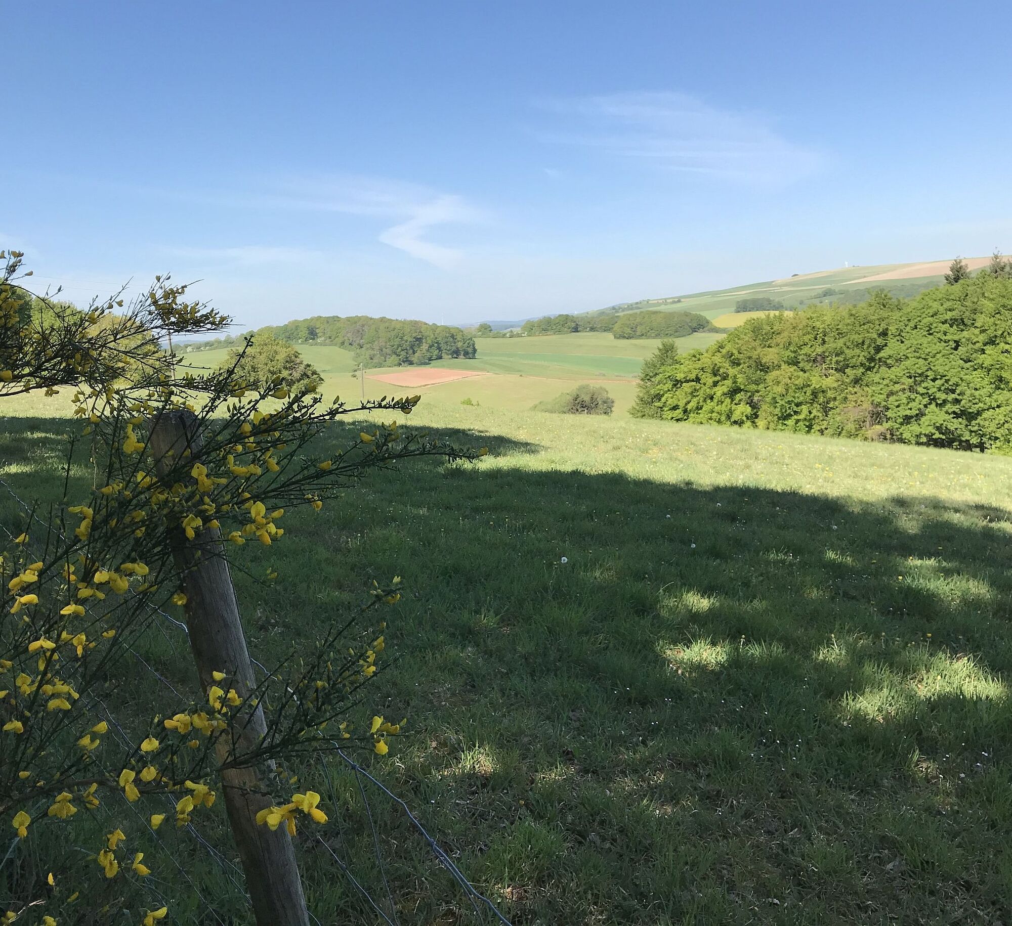
Through open areas, briefly along the A63, our path leads to the elevation "Hoher Rech," from which we have an impressive view over the former US military airport Sembach into the southern Palatinate. Through Baalborn, we hike through meadows past a chapel and playground, over the beautifully arranged water nature trail (crossing L382) to the Perfume Museum, which was built based on the film "Perfume" (www.parfuemmuseum.de).
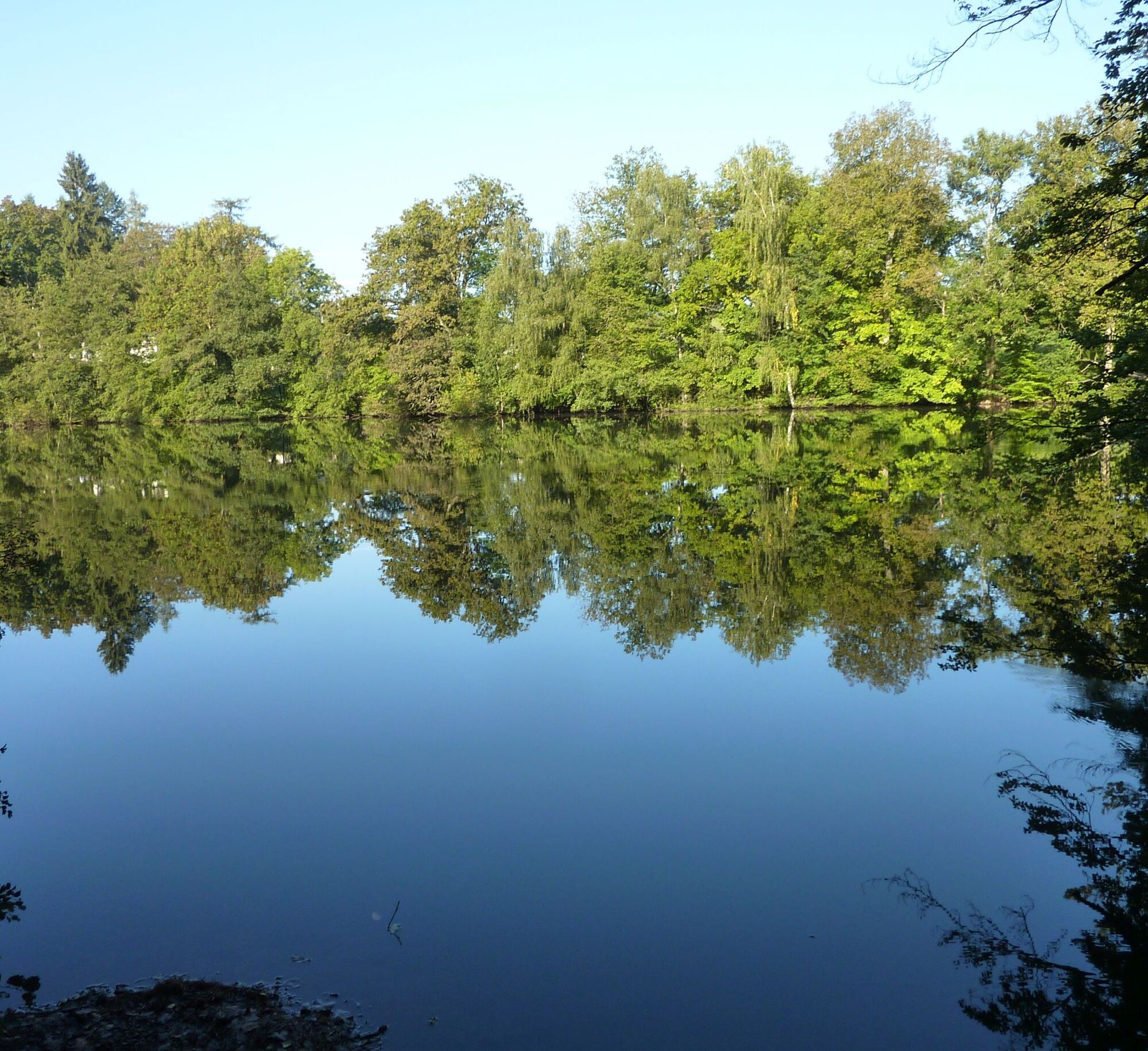
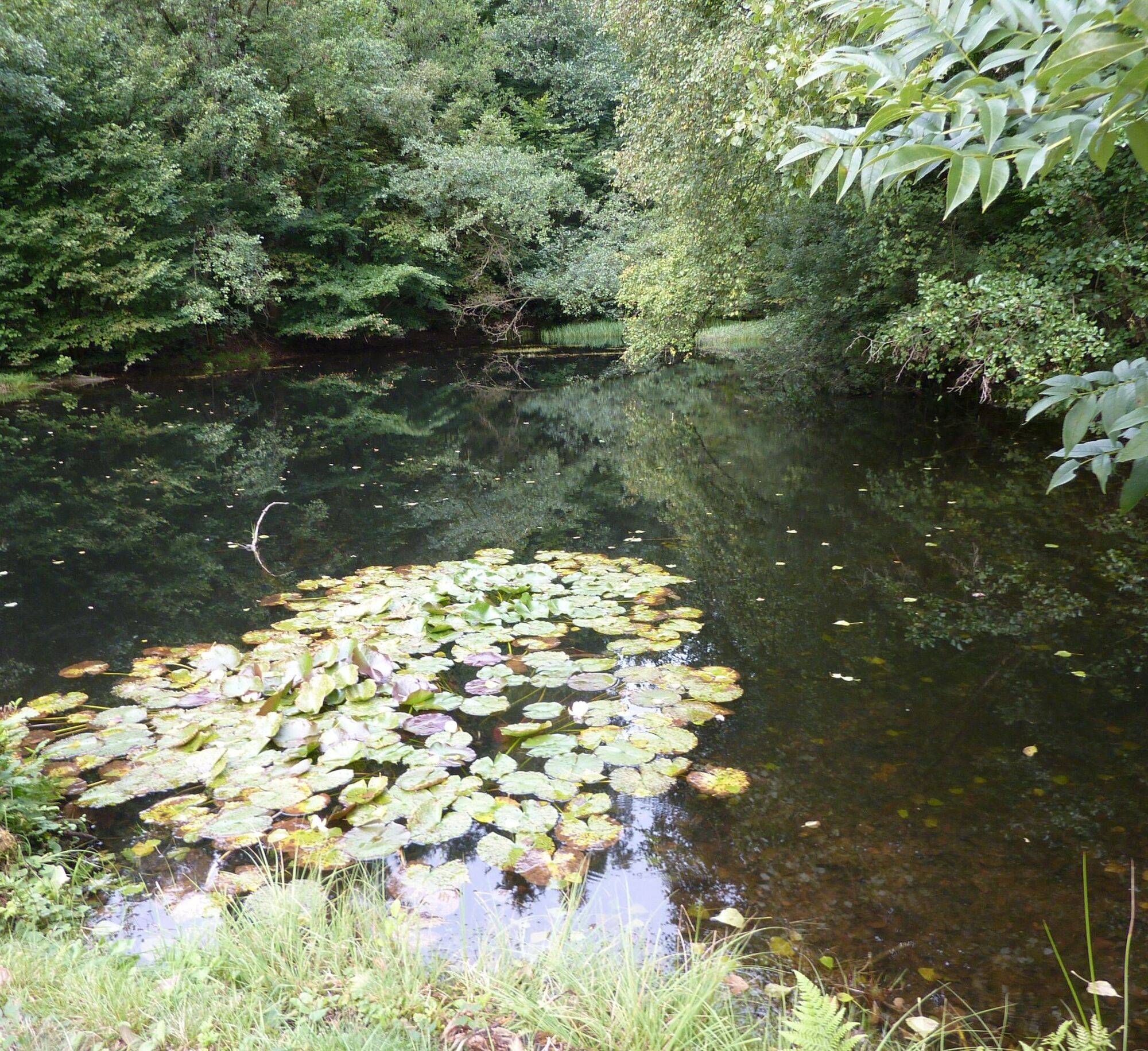
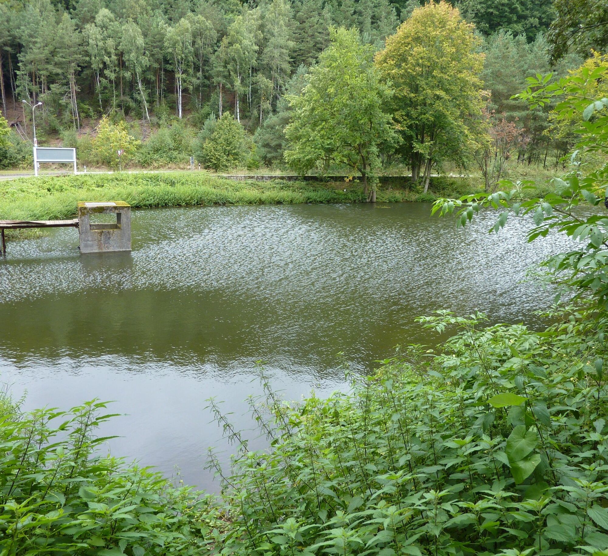
Along the forest edge over the Mönchkopf, slightly uphill to Sonnenkopf, we continue hiking on natural paths to the Lanzenbrunner Pond, a gem in the Otterberg forest. The route continues varied. We now traverse the valley of the Grafenthaler Bach, past the Husarenbrunnen, to the signpost at the Drehenthalerhof. Here there is the possibility to shorten the circular route and take the loop back to Otterberg.
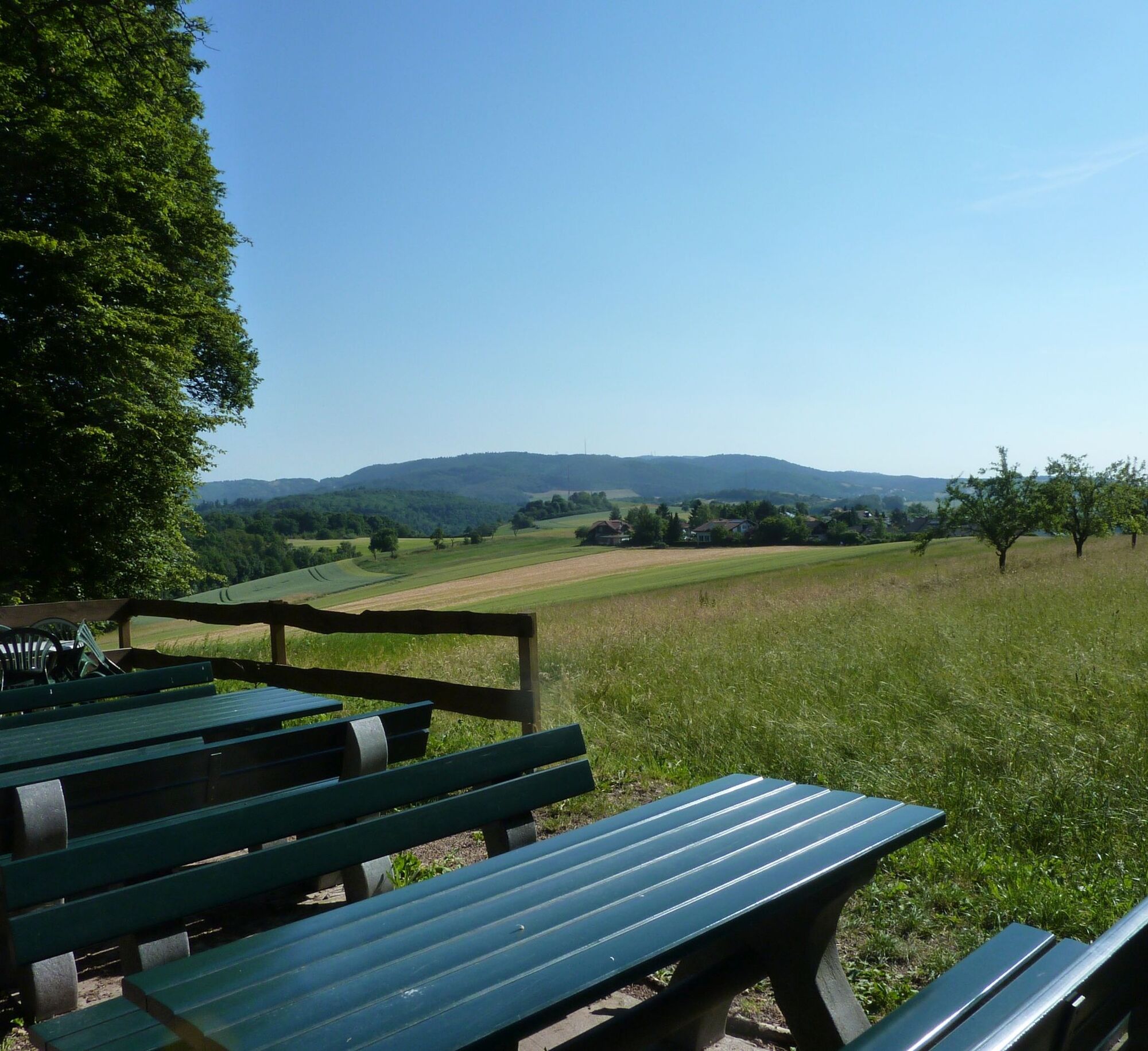
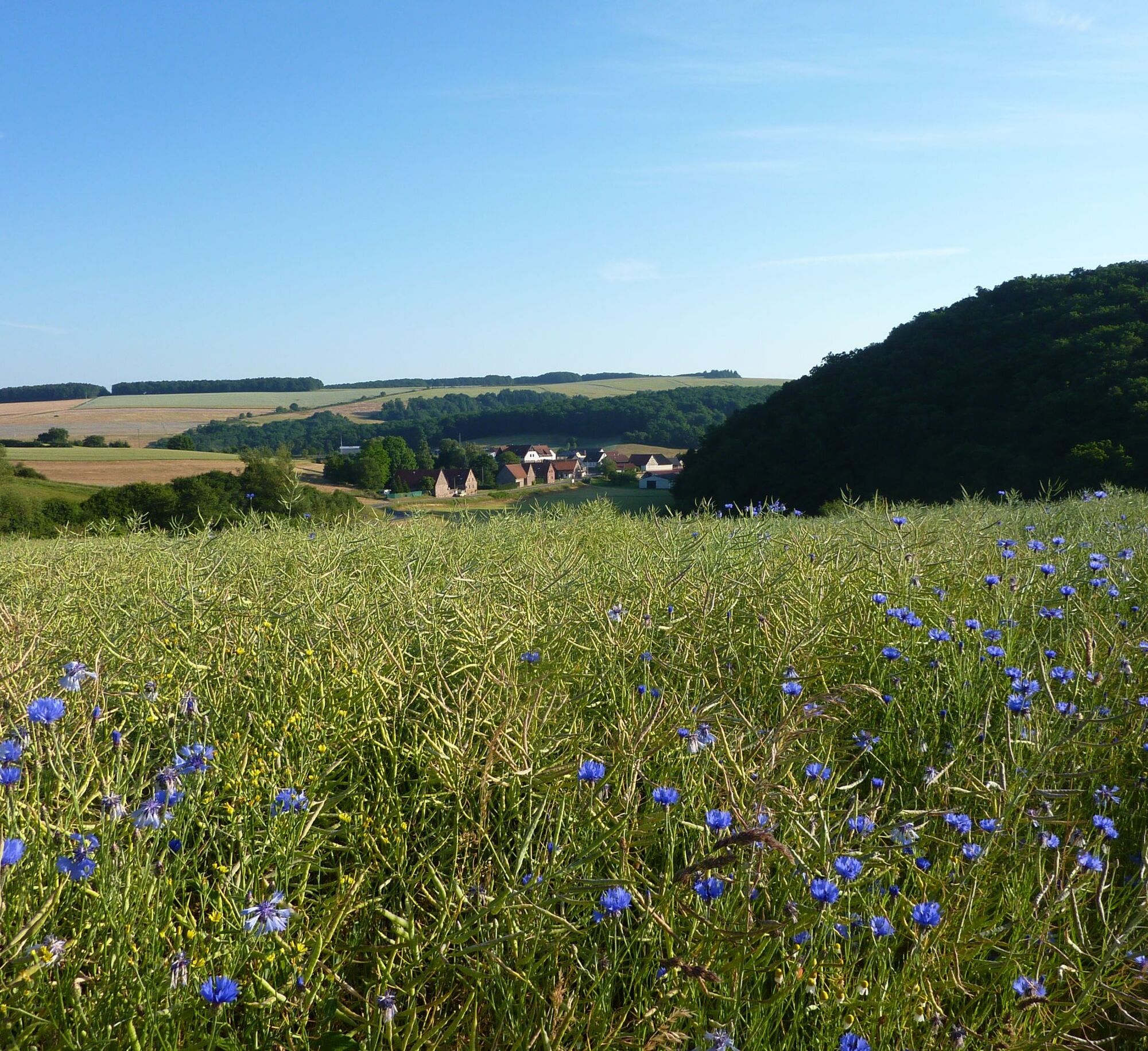
We continue to follow the marking over the Kahlenberg to a small quarry where the rare Leopard Sandstone was mined. A magnificent view of Donnersberg awaits us on the hill above Potzbach, which should be enjoyed. We hike through Potzbach, open landscapes accompany us past the Leithöfe and enter deciduous forest again, which accompanies us to the Igelborner Hut – a hut of the Palatinate Forest Club local group Winnweiler (opening hours: Wed from 11:30 am; Sat from 2:00 pm; Sun/holidays from 10:00 am; for groups from about 10 people by prior arrangement). Here there is the possibility to connect to the “Palatinate Höhenweg” at the Winnweiler train station. You should follow the marking “black Hinkelstein on a yellow background”.
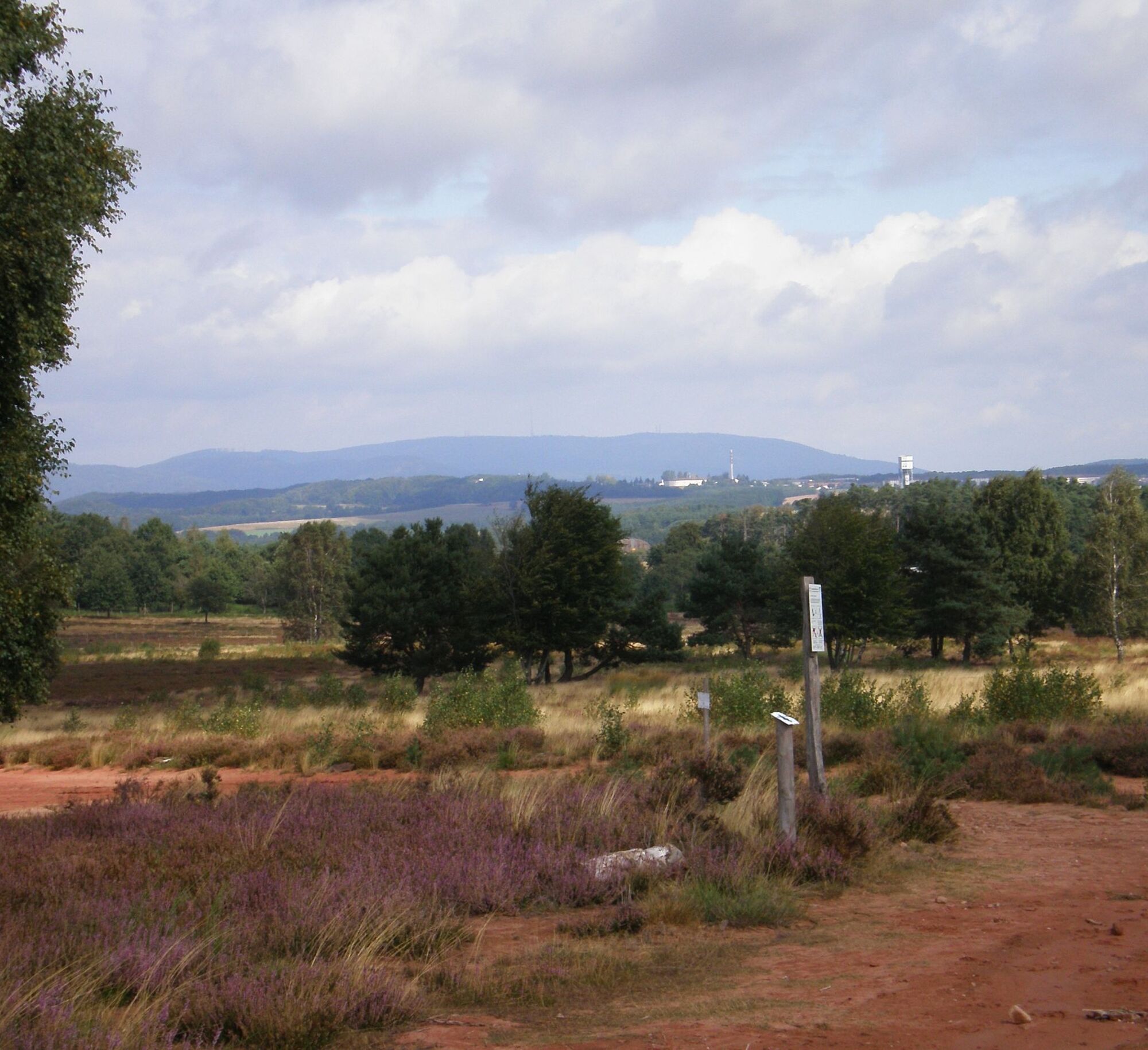
The path now leads downwards to Höingen. Uphill, over the main road, Bergstraße and a meadow path, we are rewarded for our effort with a magnificent view of the Donnersberg, at 687 meters the highest mountain in the Palatinate.
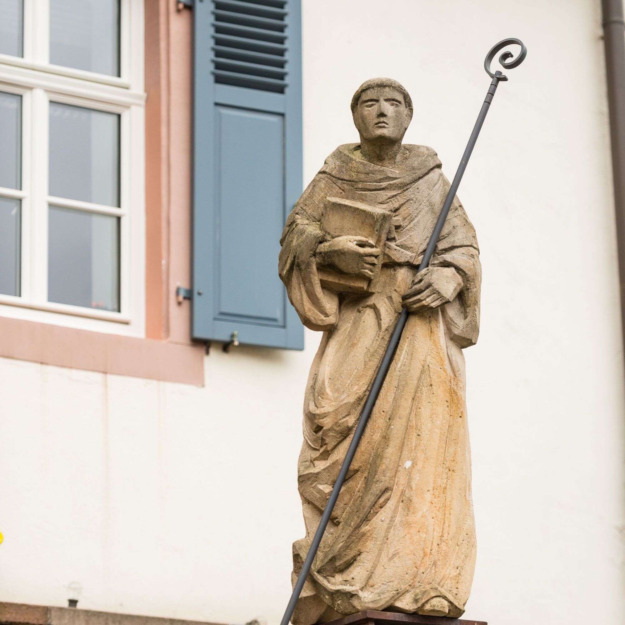
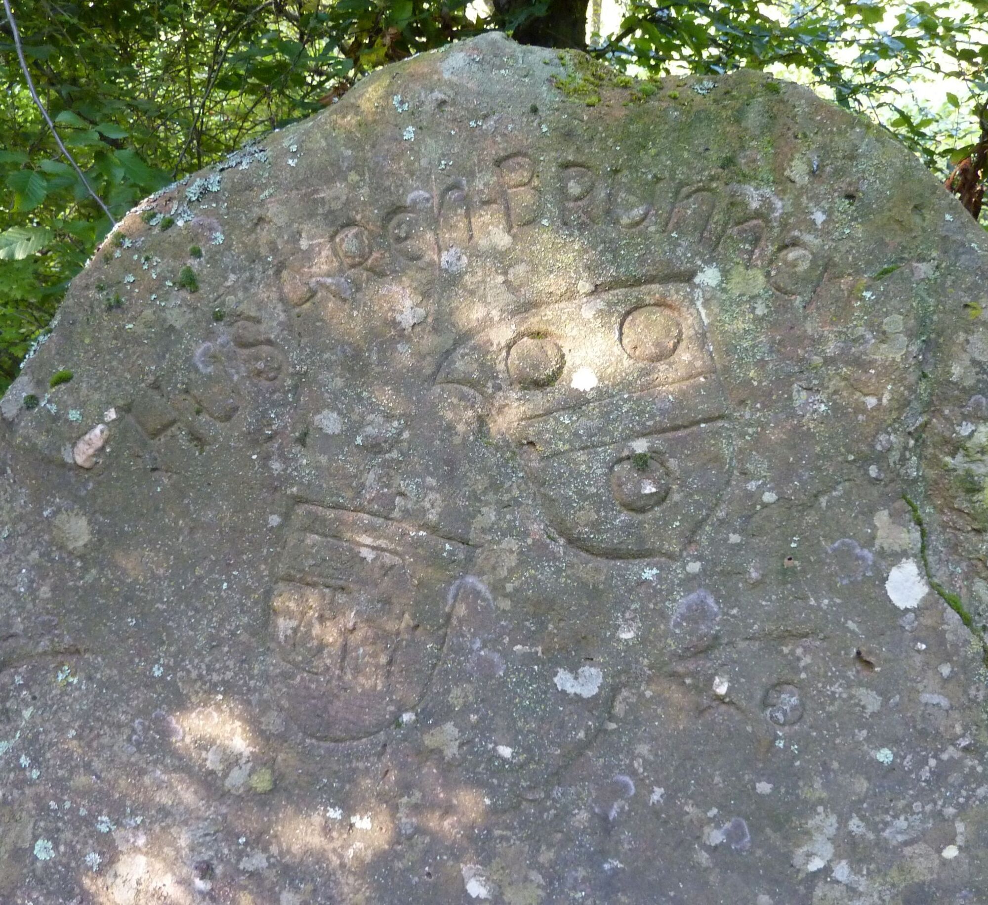
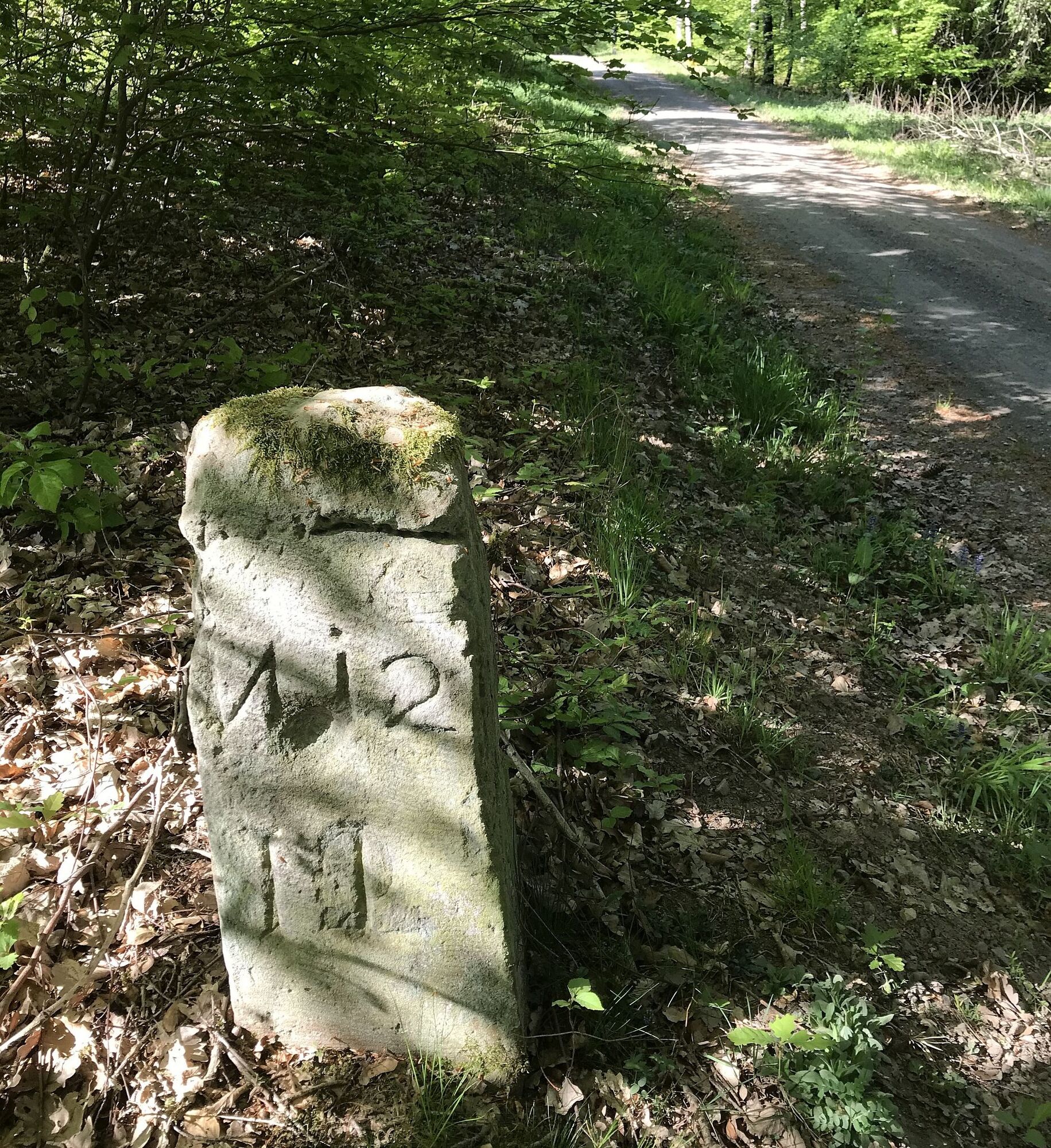
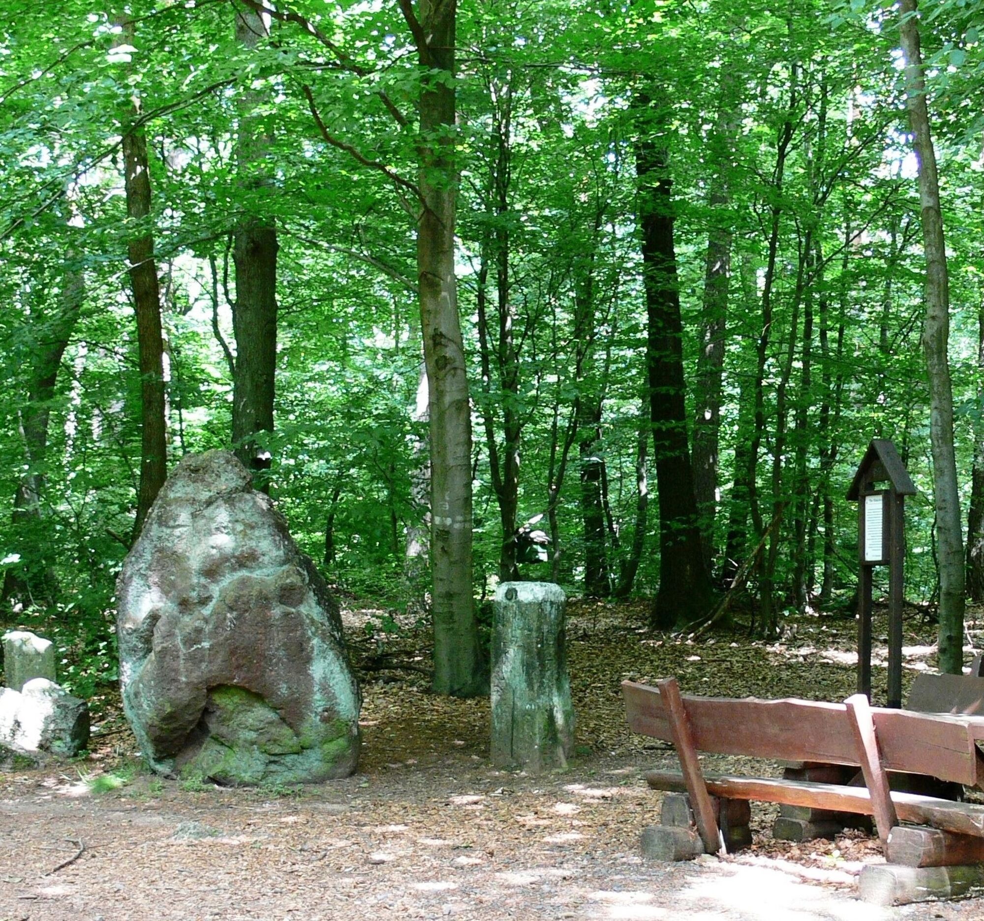
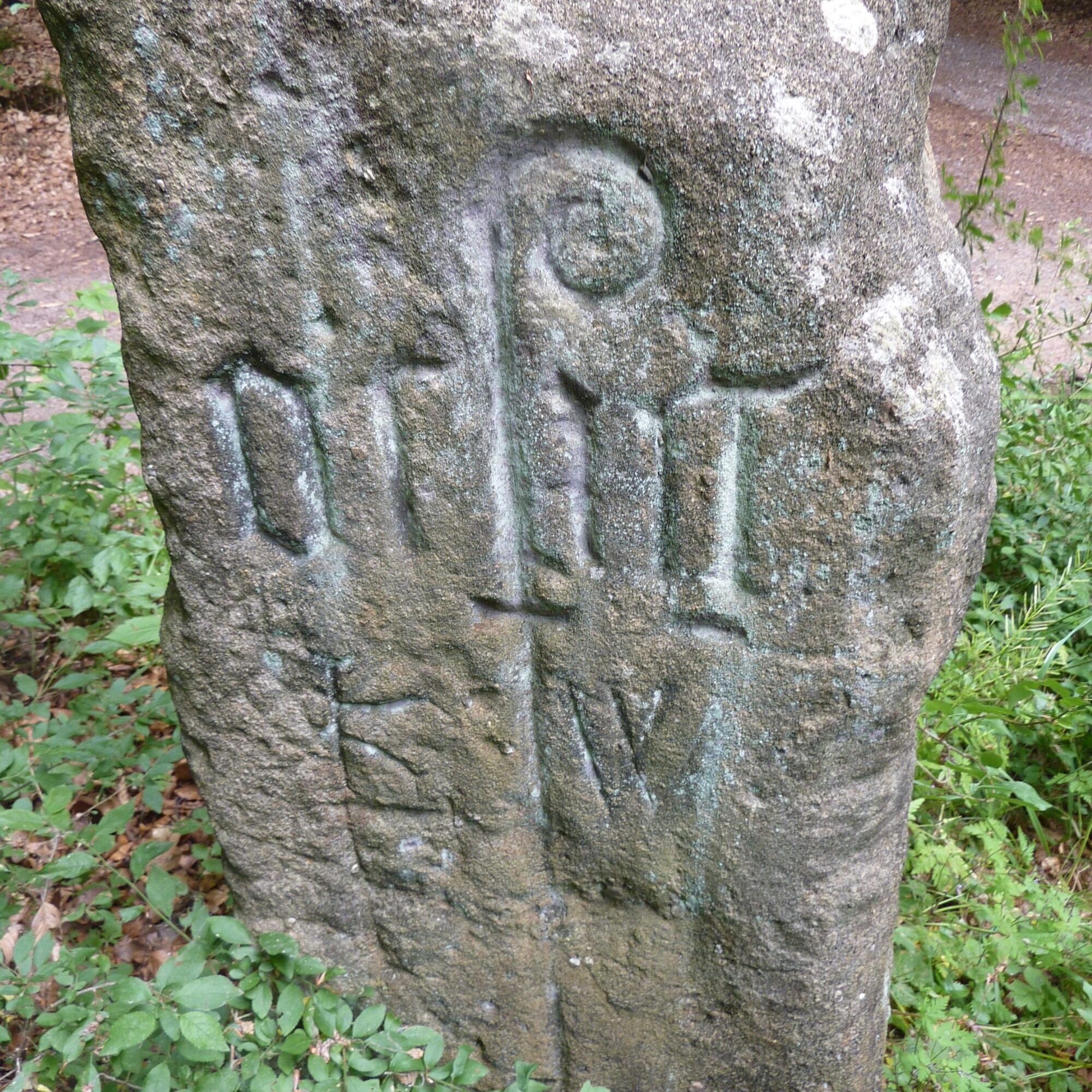
On the next section of the Hinkelsteinweg, we encounter numerous boundary stones which, if they could, would tell a lot about the history of the Otterberg monastery. The abbot's staff is still recognizable on many of these stones. We now reach the Menhir “Hinkelstein”, which gives the hiking trail its name.
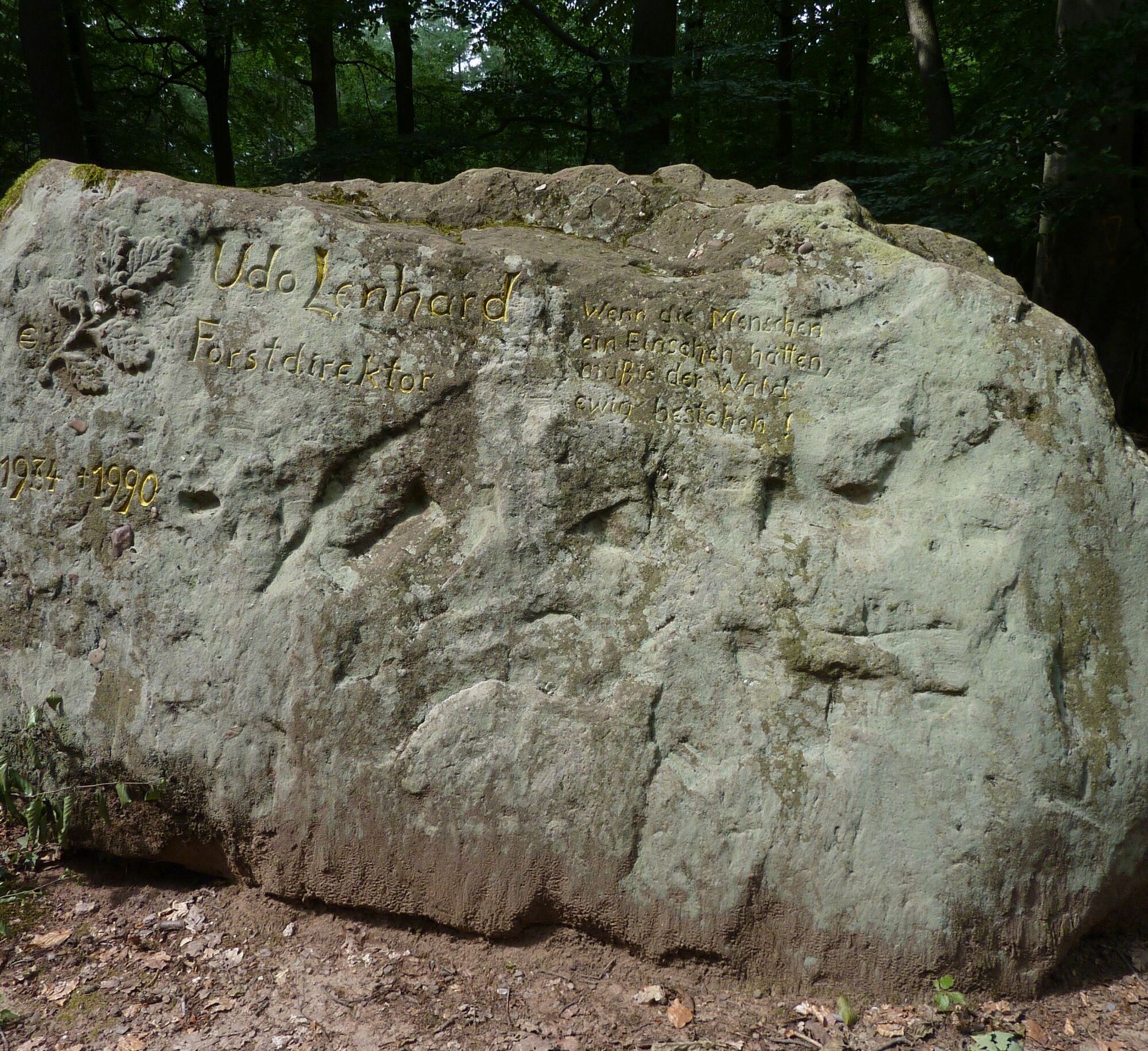
On our way, we pass the Lenhardt stone, a memorial stone for a former forester, turn left here and walk downhill to the Birotshof, where we find an enchanted pond. Further downhill, we cross the L 387 and reach the festival site of the historic spring festival (in years with odd numbering) of the town of Otterberg. We then reach the Drehenthalerhof uphill again, where there is a shortcut option towards Winnweiler.
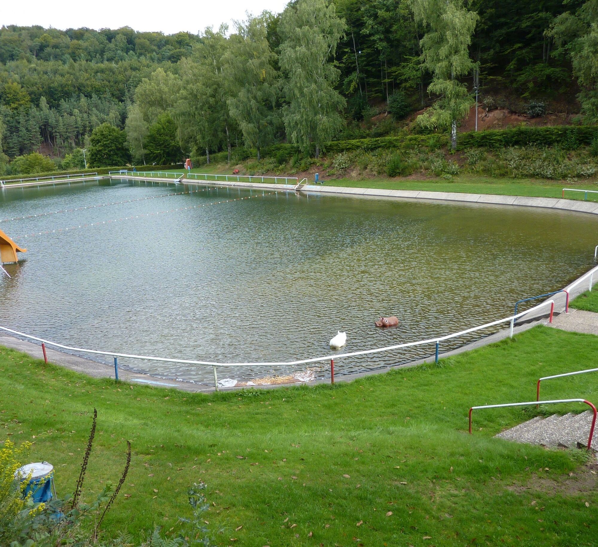
Down the Scheidwald, after a short detour to the newly created “Scheidwald Quarry” (nice rest area and impressive rock face), we hike through the valley of the Otterbach to the natural swimming pool Otterberg, a beautifully located public swimming pool. Continuing along the valley, we now come to the Johannis parking lot. We cross the parking lot and Johannisstraße and go through the “Loch” (passage between the houses at the Kraus inn) into the old town of Otterberg to the starting point of the circular hiking trail, the Abbey Church.
Da
For our hiking tours, we recommend the following standard equipment:
- Sturdy footwear
- Weather-appropriate clothing
- Sun and rain protection
- Sufficient supply of food and drinks, as not everywhere catering or shopping facilities are available or open.
- Even though the paths are very well marked throughout, it is advisable for safety reasons to always carry a suitable
hiking map so that you can quickly find a safe area, for example in the event of a thunderstorm or emergency.
- Hiking poles recommended.
General note:
Especially in autumn, care should be taken that fallen leaves can cover unevenness, roots, stones, or holes in the path. After thunderstorms or rainstorms, trees can still fall or branches fall down afterwards. Especially in adverse weather conditions, natural paths can have muddy and slippery sections. Not all rocks or cliffs are secured with ropes or railings. Surefootedness is required in places. You should expect such path impairments when hiking. If you think certain path sections are not passable for you, you should avoid them.
NOTE:
We strive to announce all closures caused by forestry work or hunting societies on this platform. Nevertheless, there are situations where hiking trails are closed and we may not have been informed. If you unexpectedly encounter a trail closure or detour, please follow the instructions for your own safety.
Via the A 63 - exit Otterberg or exit Winnweiler;
Via the A 6 - exit Enkenbach-Alsenborn, L 382 via Mehlingen, Baalborn to Otterberg or further on the B 48 to Winnweiler.
Otterberg: rail connection via Kaiserslautern, further by bus G130;
Winnweiler: rail connection
Timetable information at www.vrn.de
Otterberg: Parking lot at the town hall
Winnweiler: Parking lot at the train station or hiking parking lot at the Igelborner Hut
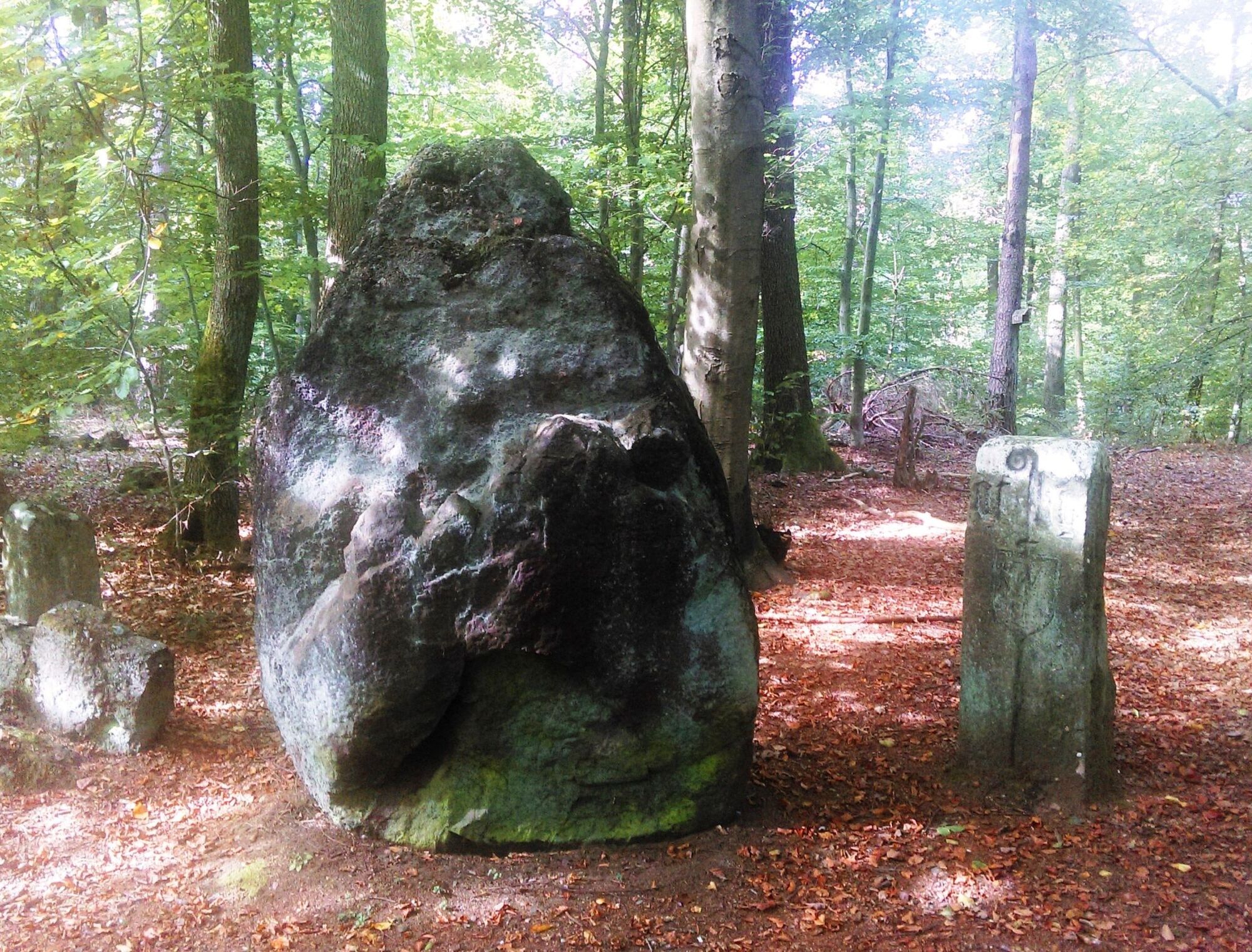
Menhir Hinkelstein
Menhir is originally a Breton term for an erected monolith several meters high and means “long stone” (maen = stone, hir = long). In the German-speaking area, menhirs have also been commonly called Hinkelstein since the Middle Ages.
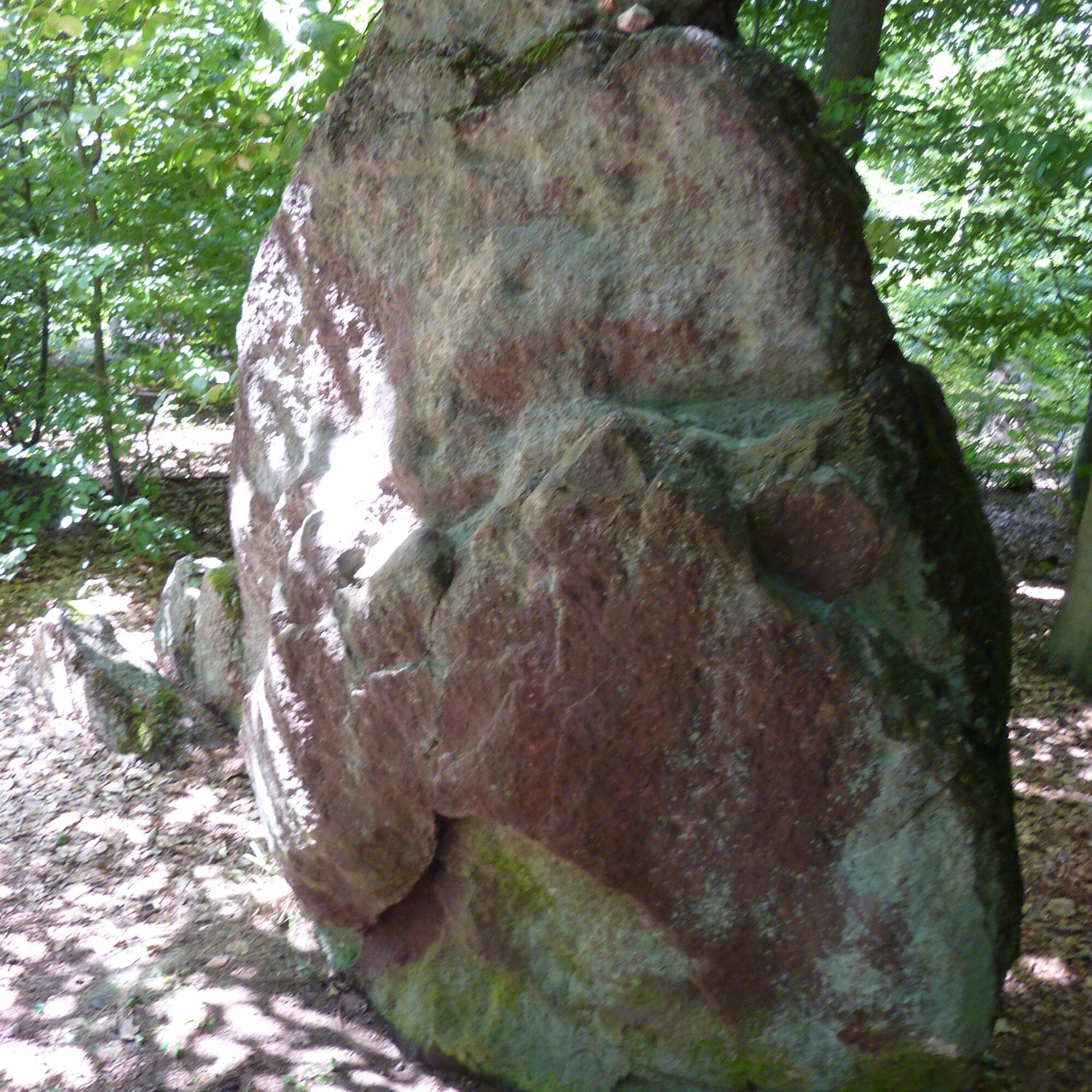
At the “Hinkelstein” menhir, until the French Revolution, the territories of Falkenstein, Kurpfalz, and Schallodenbach met. Even today, the mighty Hinkelstein is a three-boundary stone where the borders of the municipalities Otterberg, Höningen, and Heiligenmoschel meet. The Hinkelstein, first documented in 891 during Roman times, is about 2.20 meters high and 1.50 meters wide and is flanked by two hewn boundary stones. A seating area invites you to linger.
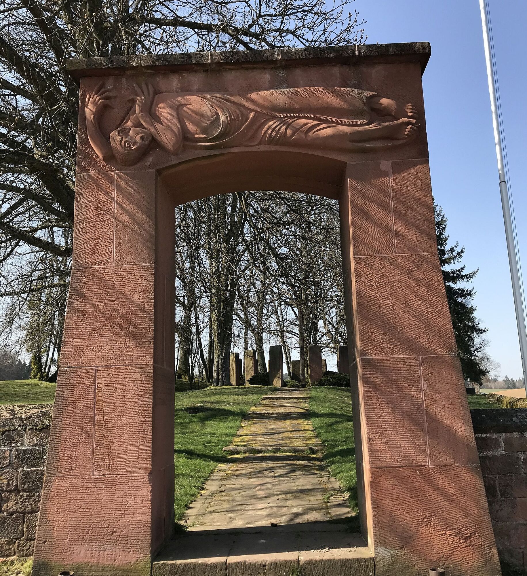
Quarry at Scheidwald
The volunteer team around Martin Klußmeier, local head of Drehenthalerhof, has done an excellent job at the former quarry in Scheidwald. With support from the Otterberg forestry office and the municipal building yard, this quarry was uncovered and made accessible again.
The quarry, located on the certified Hinkelstein trail in the direction of Drehenthalerhof, significantly enhances the experiential character of the path. The monumental quarry front stretches impressively towards the sky. Additionally, Martin Klußmeier donated a rustic seating area, so this shady spot in front of the towering sandstone wall of the former quarry invites lingering. A special gem that offers lasting added value both to the tourists and the local population.
The quarry is also a contemporary witness of local urban development. While the yellow sandstone for the abbey church was quarried from the quarry at today's CVJM conference center, many houses in the town were built from red sandstone. This was also extracted from the quarry at Scheidwald besides three other quarries around Otterberg. However, the sandstone blocks for the large war memorial on the Heiligenmoscheleberg also come from this quarry.
Video about the Scheidwald quarry
Verbandsgemeinde Otterbach-Otterberg
Tourist Information, Hauptstr. 54, 67697 Otterberg, Tel. 06301 607 800, www.otterbach-otterberg.de , tourist-info@otterbach-otterberg.de
Verbandsgemeinde Winnweiler
Tourism Office, Jakobstr. 29, 67722 Winnweiler, Tel. 06302 602-0 or 602-61, www.winnweiler-vg.de , info@winnweiler-vg.de
Verbandsgemeinde Enkenbach-Alsenborn
Tourist Information, Hauptstr. 18, 67677 Enkenbach-Alsemborn, Tel. 06303 / 913-0, www.enkenbach-alsenborn.de , tourismus@enkenbach-alsemborn.de
Igelborner Hut (Palatinate Forest Club local group Winnweiler)
Igelborner Hut Palatinate Forest Club
67722 Winnweiler – drive straight through “Am Rauhen Weg” street to the field – the hut is located at the top
Group registrations (from 15 people) and private celebrations by arrangement with the hut tenant.
Ernst Kurz Mobile: 0160 986 527 43 E-Mail: kurzernst1975@gmail.com
Opening hours: Monday and Tuesday closed
Wednesday - Saturday 11:00 am - 10:00 pm (kitchen 11:30 am - 8:00 pm)
Sunday and holidays 10:00 am - 10:00 pm (kitchen 11:30 am - 8:00 pm)
Tourist Information Palatinate Highlands
"Hiking in western Palatinate" - touristinformation@kv-kus.de
Link:
New video about the Hinkelsteinweg by Pfalz-bewegt.de
Priljubljeni izleti v okolici
- 4,0
Palatinate Forest Trail stage 01 Kaiserslautern - Finsterbrunnertal
srednjaPohodništvo v daljavo16,9 km Mehlingen - Small round through the Mehlinger Heide
svetlobaPohodništvo4,70 kmTeufelstour - Olsbrücken
težkoPohodništvo15,1 kmPalatinate Ridgeway Stage 02 Dannenfels - Bastenhaus
srednjaPohodništvo v daljavo15,2 km- 4,0
Otterberg - Circular Hiking Route 5 - Springs Circular Hiking Route
svetlobaPohodništvo6,91 km Pfälzer Höhenweg complete route
srednjaPohodništvo v daljavo114,9 kmPfälzer Höhenweg Stage 01 Winnweiler-Dannenfels
srednjaPohodništvo v daljavo16,6 kmKatzweiler - Himmelstour
srednjaPohodništvo10,3 kmOtterberg - Hinkelsteinweg (Southern Route)
srednjaPohodništvo21,8 kmKatzweiler - Humberg-Tour (Rundweg)
težkoPohodništvo13,0 km
Pohodništvo in sledenje


Ne zamudite ponudb in navdiha za naslednje počitnice
Vaš e-poštni naslov je bil dodan na poštni seznam.