






MAZZE' Lake Candia and Masino Castle Loop

Stopnja težavnosti: 3
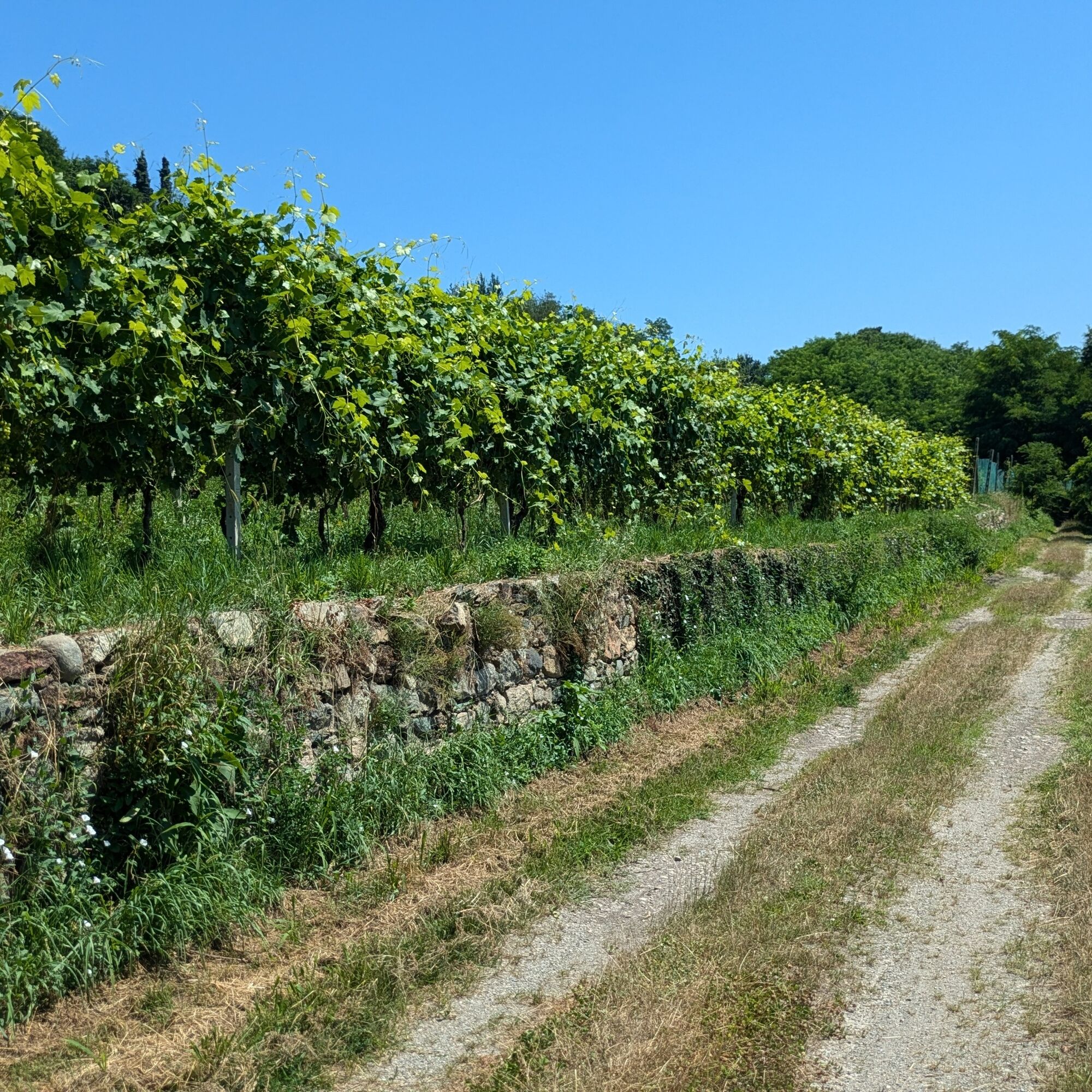
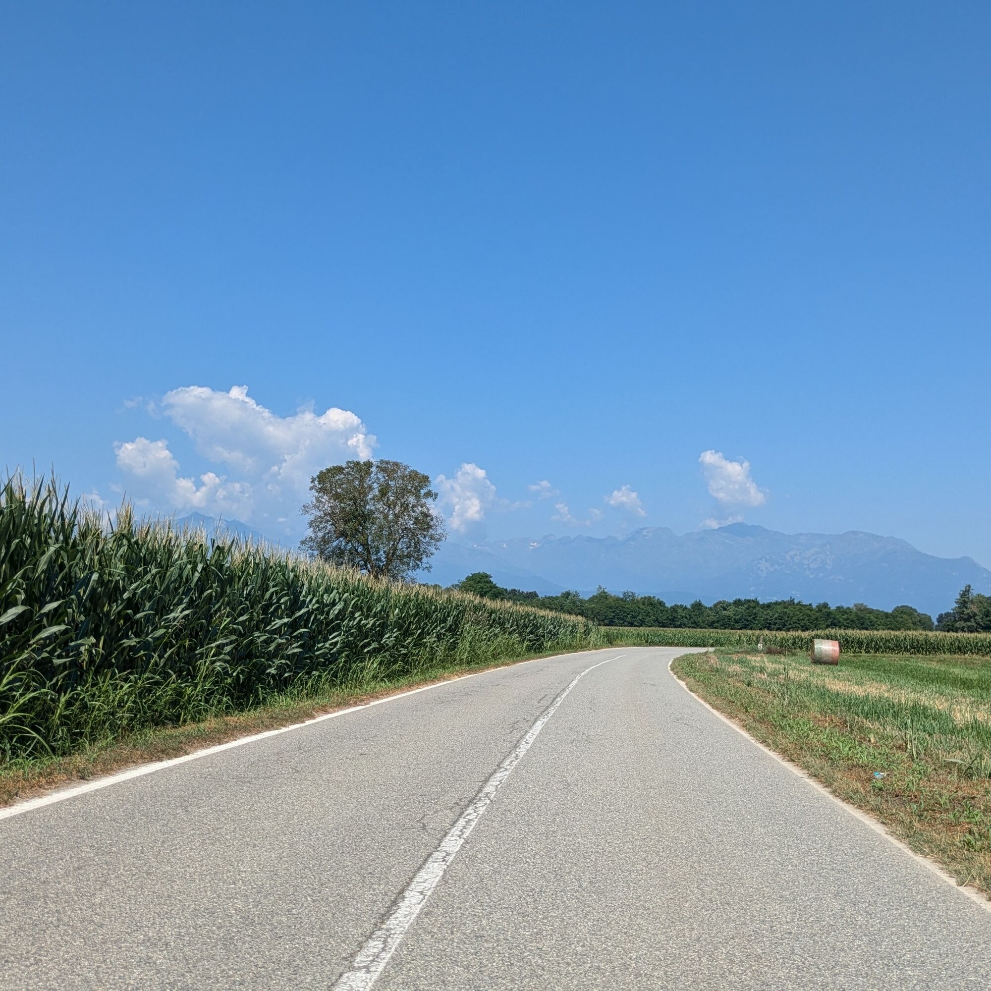
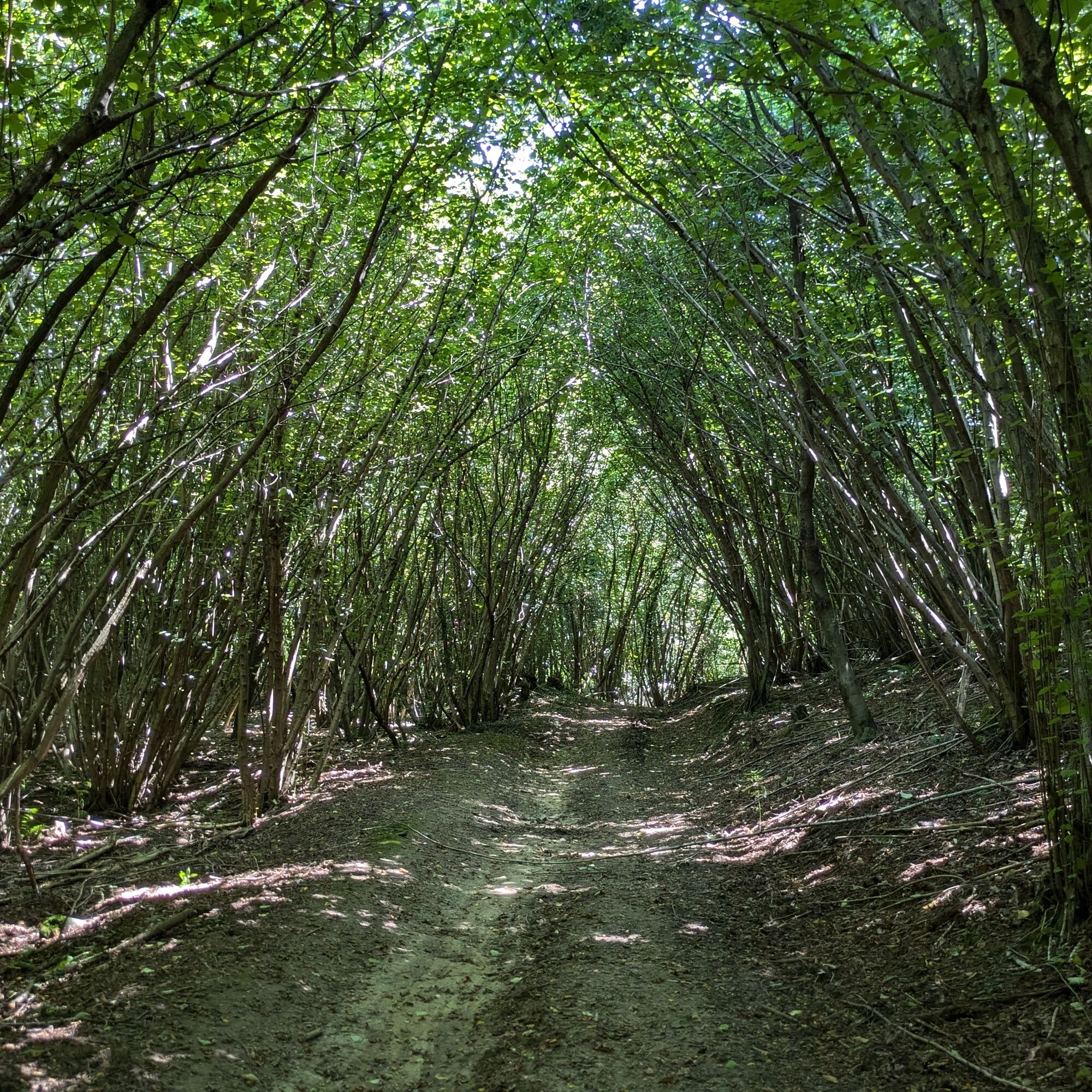
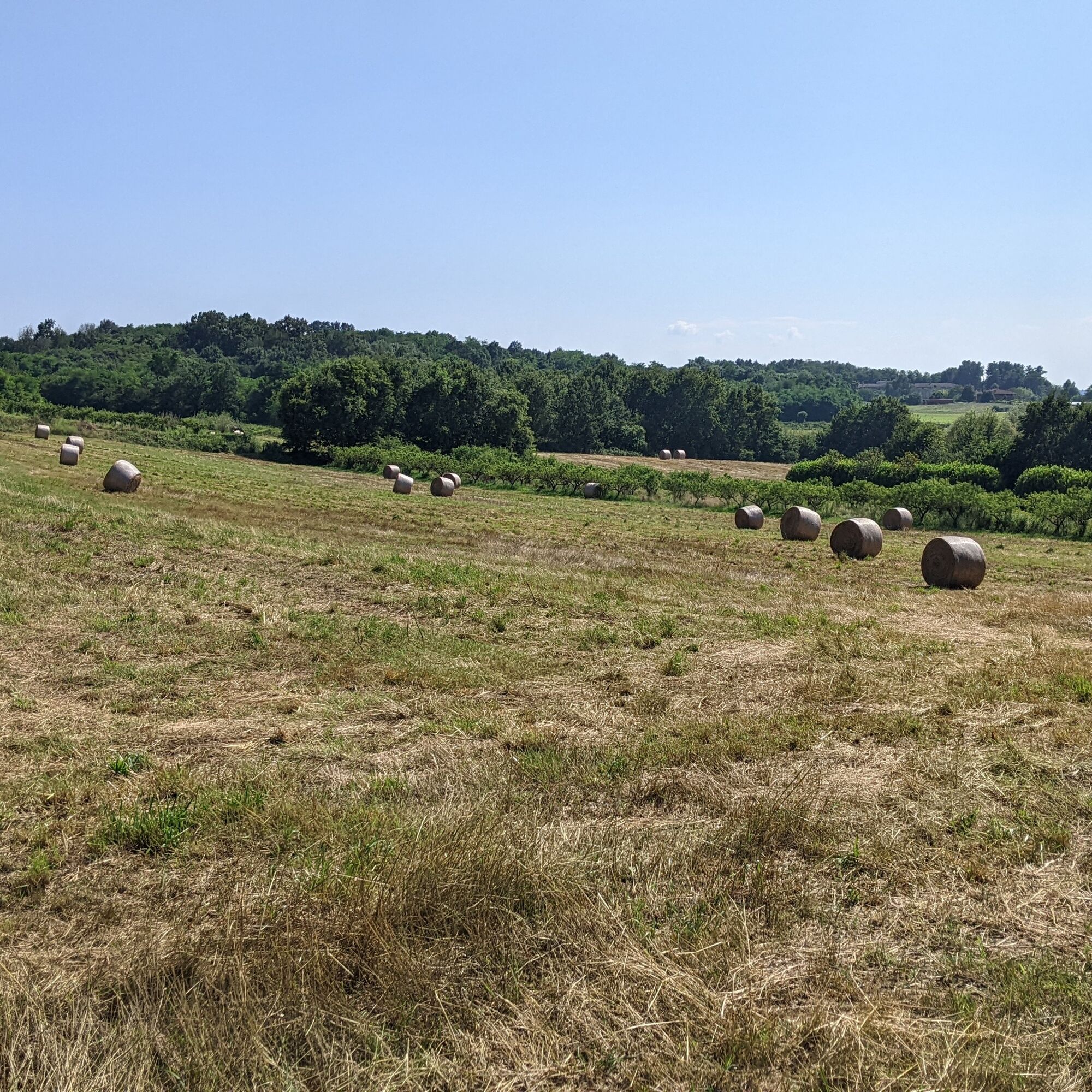
Loop mostly on paved roads and a few kilometers on dirt roads in the woods of the morainic hill between Masino Castle and Villareggia.
Starting from the top of Mazzè's historic center with the parish church...
Loop mostly on paved roads and a few kilometers on dirt roads in the woods of the morainic hill between Masino Castle and Villareggia.
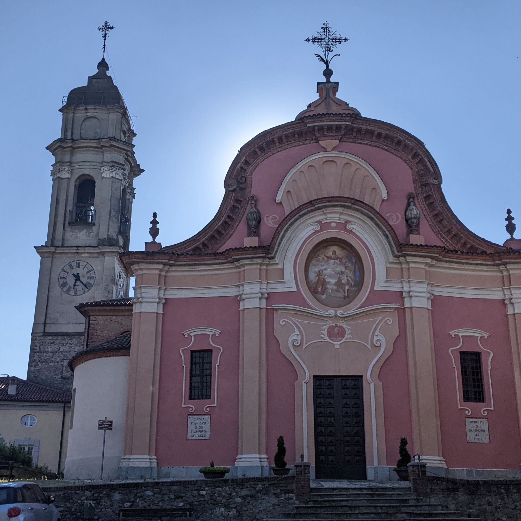
Starting from the top of Mazzè's historic center with the parish church and the Castle, then passing beside Lake Candia.
It follows a section on the Dora Baltea bike path through the plains. The route climbs up to Masino Castle (FAI property) and then enters the woods of the morainic hill.
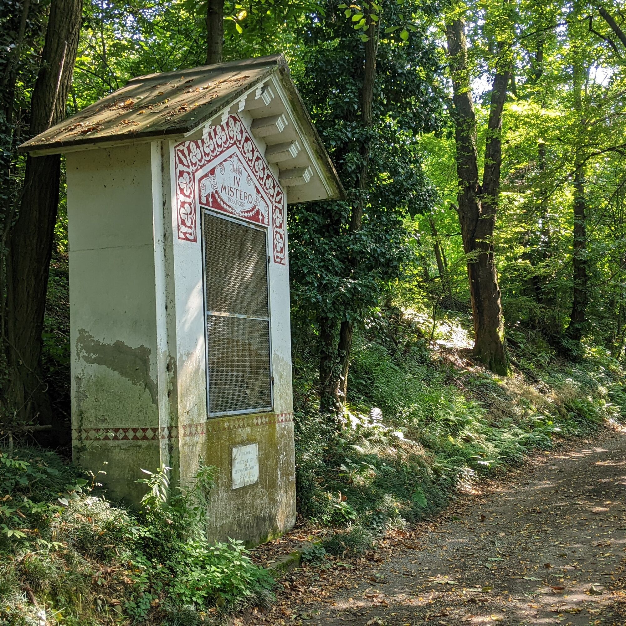
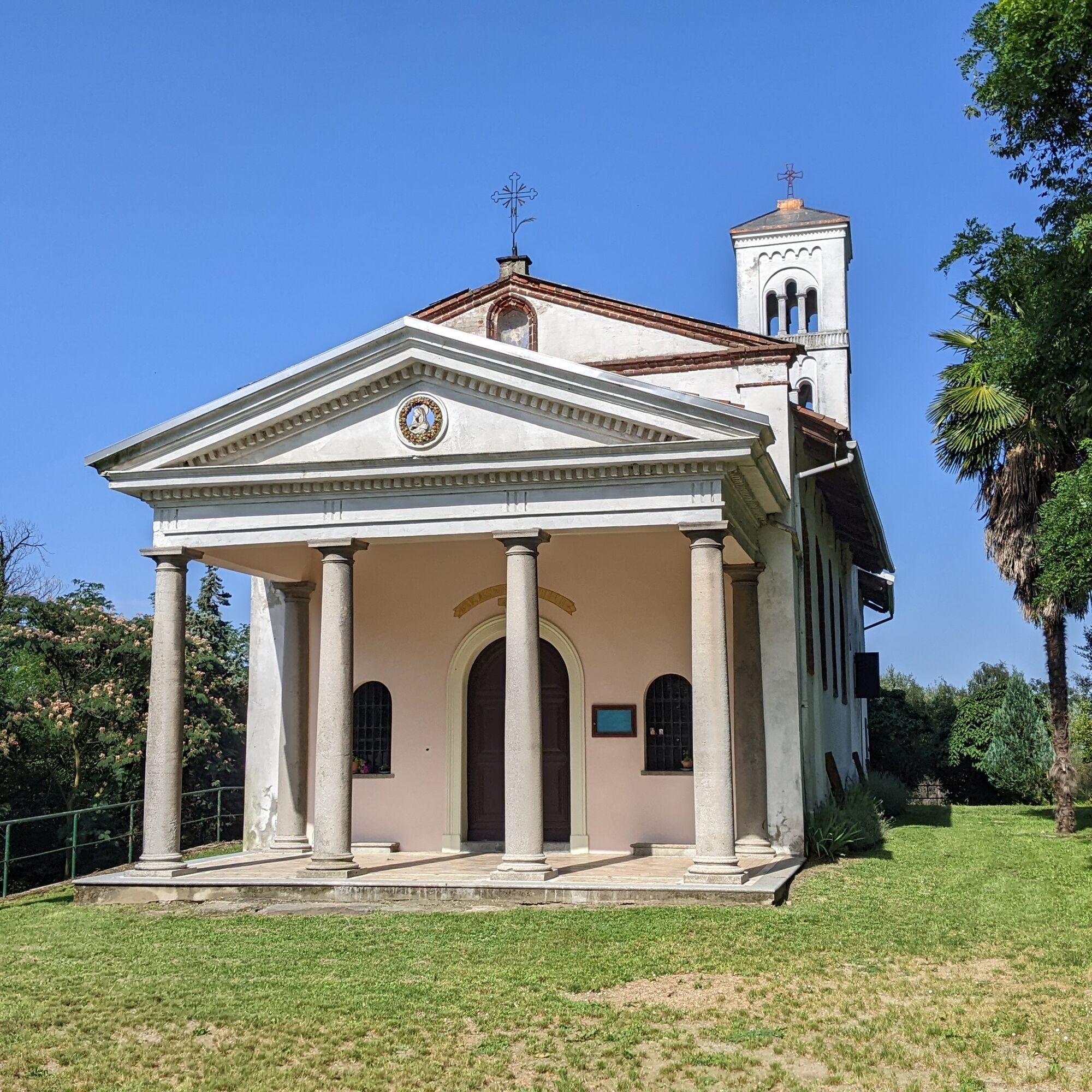
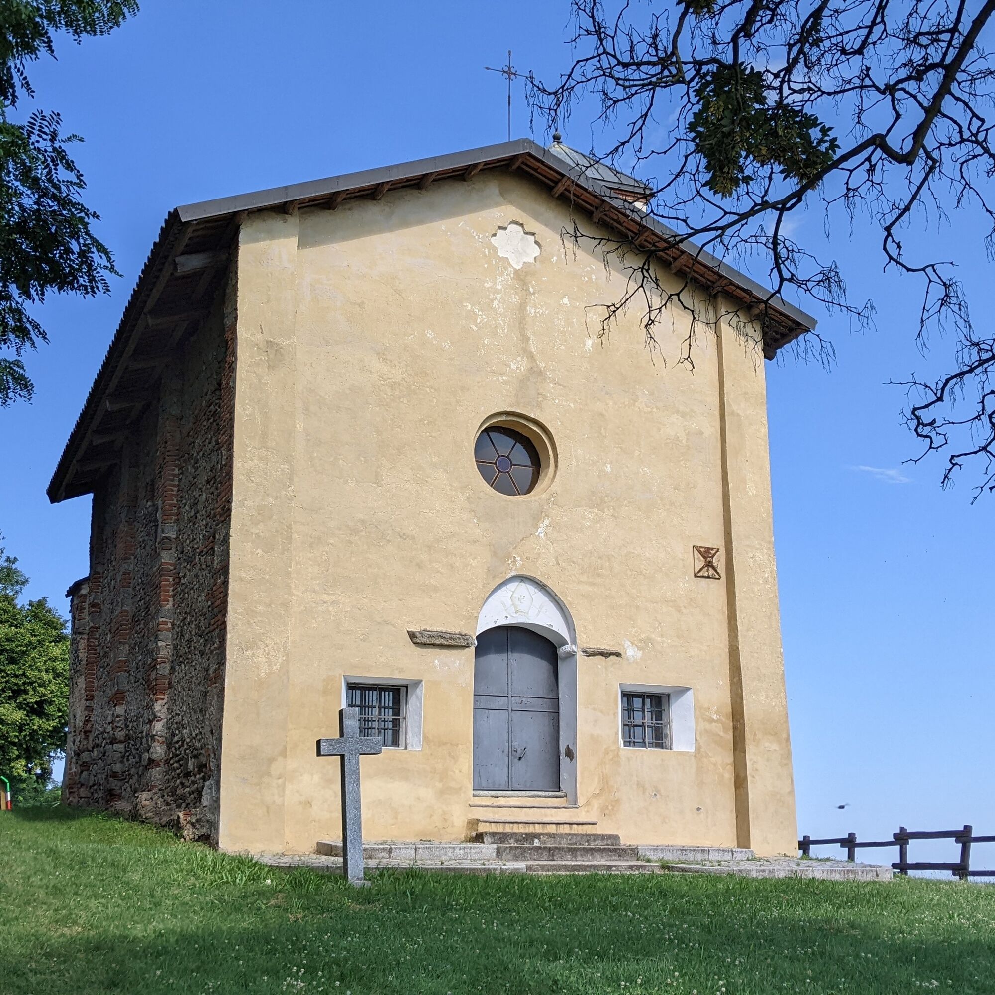
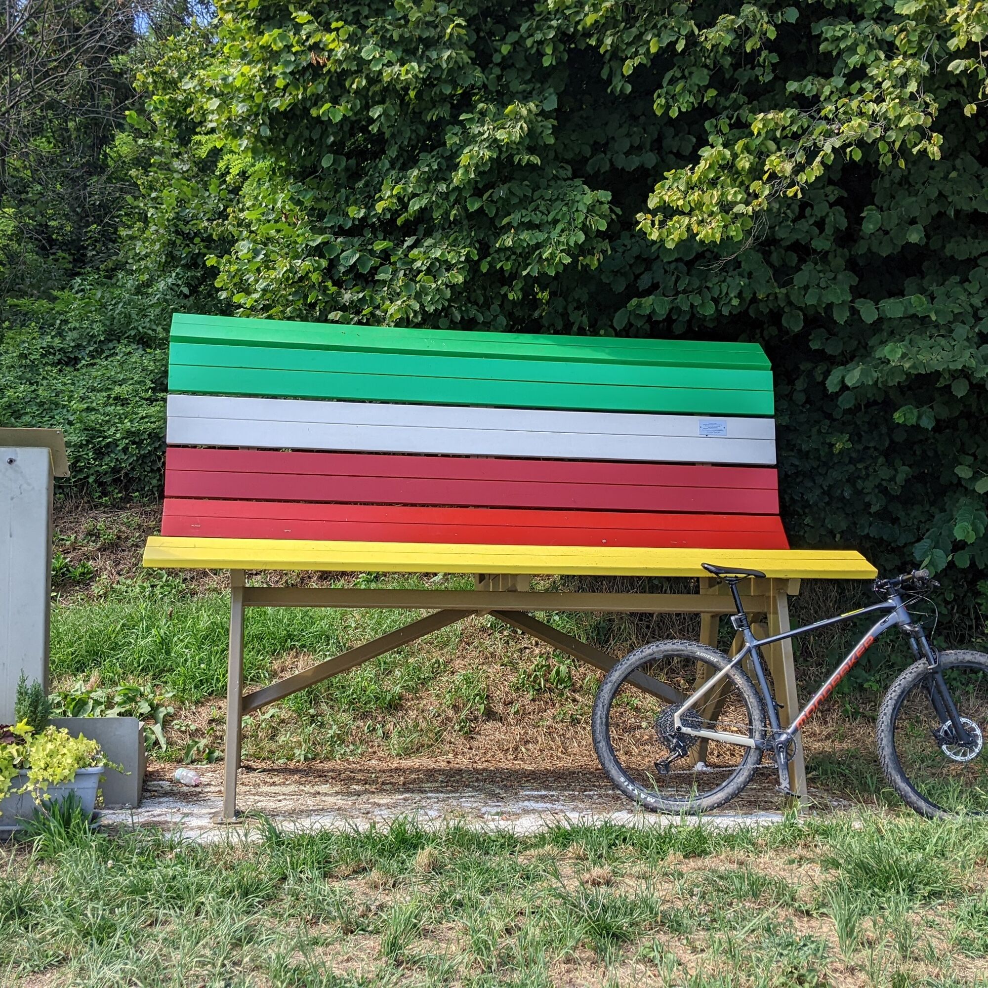
Between Moncrivello and Villareggia, it passes a via crucis to reach the Miralta Sanctuary and shortly after the panoramic Church of San Martino d'Ugliacco with a colorful giant bench alongside.

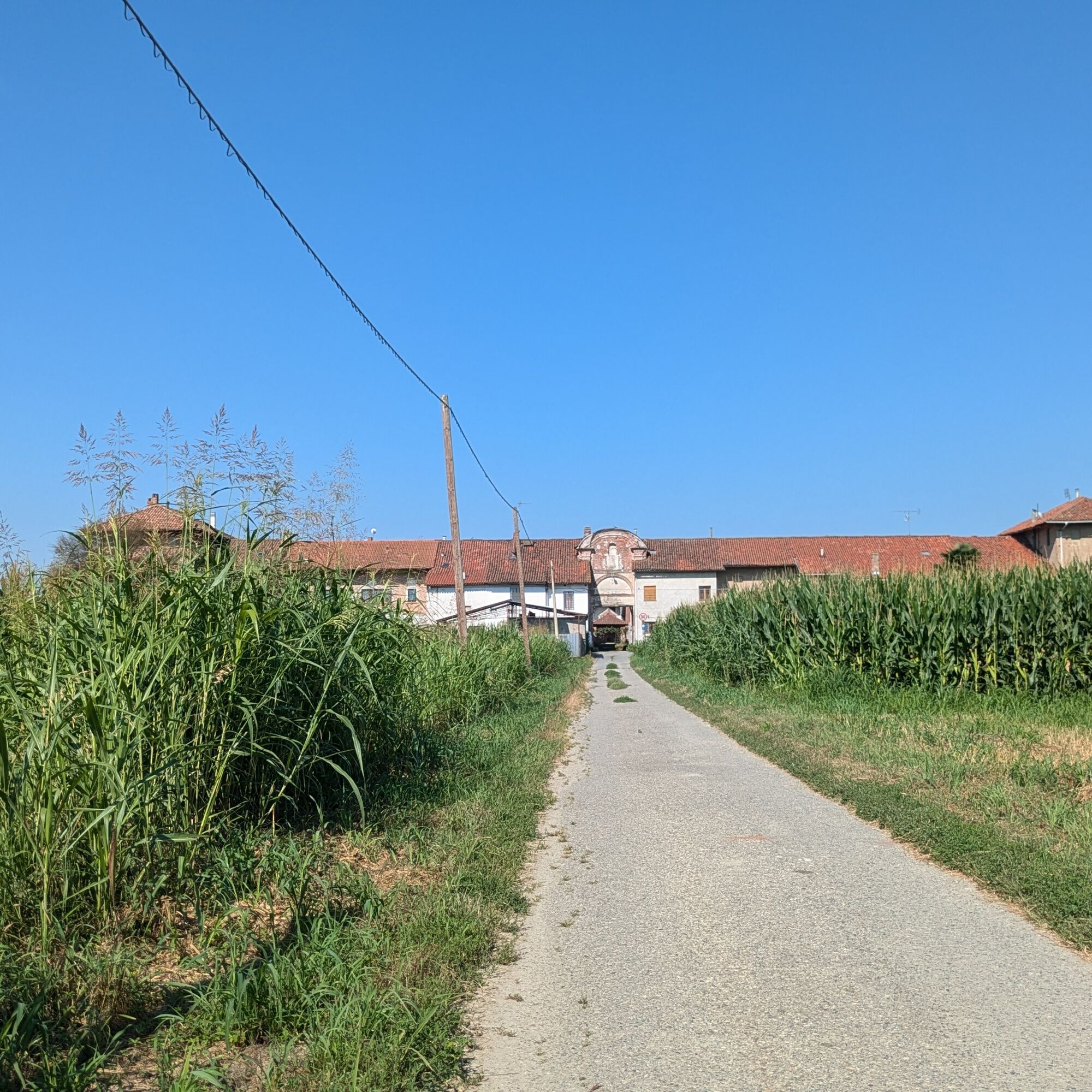
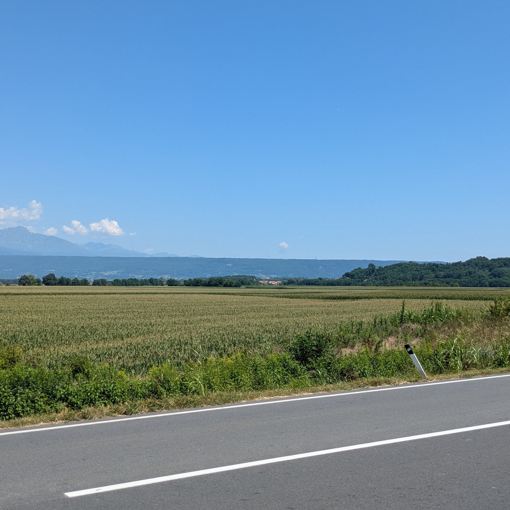
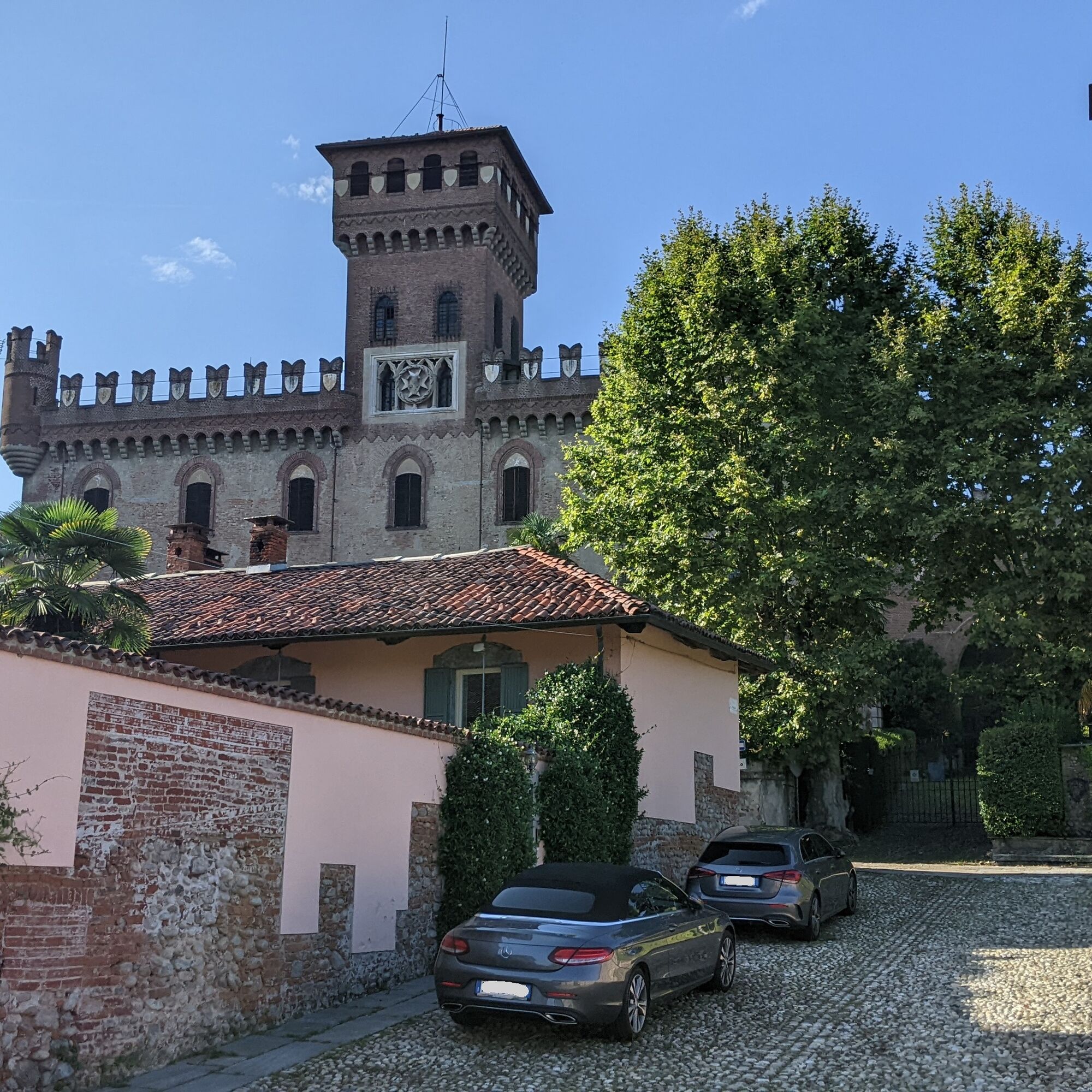

From the parish square, go towards the castle, turn left then right onto via Castello, then descend via San Michele. Turn right onto SP 81 and immediately left towards the cemetery, then continue along the small road that runs alongside it on the right. Further ahead, at the fork with the votive pillar, turn left, pass the next village, and continue.
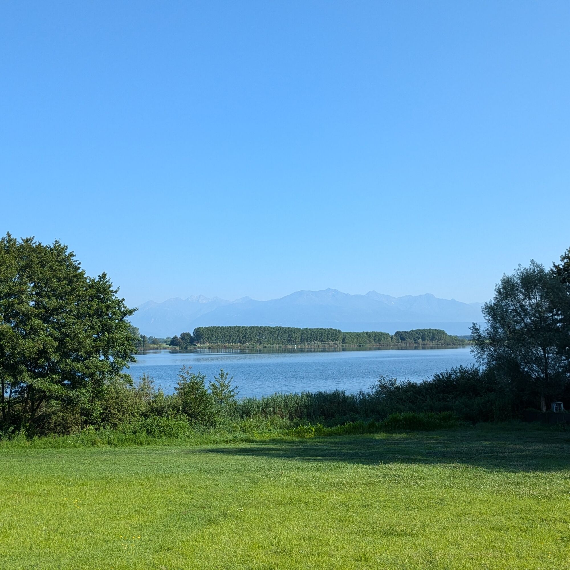
At the crossroads with the provincial road to Lake Candia, turn right and follow along Lake Candia keeping right until you reach Vische.
Arriving in front of the large Church of Vische, turn left and continue straight near the cemetery. After a couple of kilometers, turn left, pass around the Luisina farmstead, and upon reaching provincial road 81, turn right. At the next crossroads, turn right. Upon arriving at Crotte, turn right at the church and continue. Further on, cross SP 56 and at the following fork turn right, cross the village of Realizio, and then merge left onto provincial road 56.
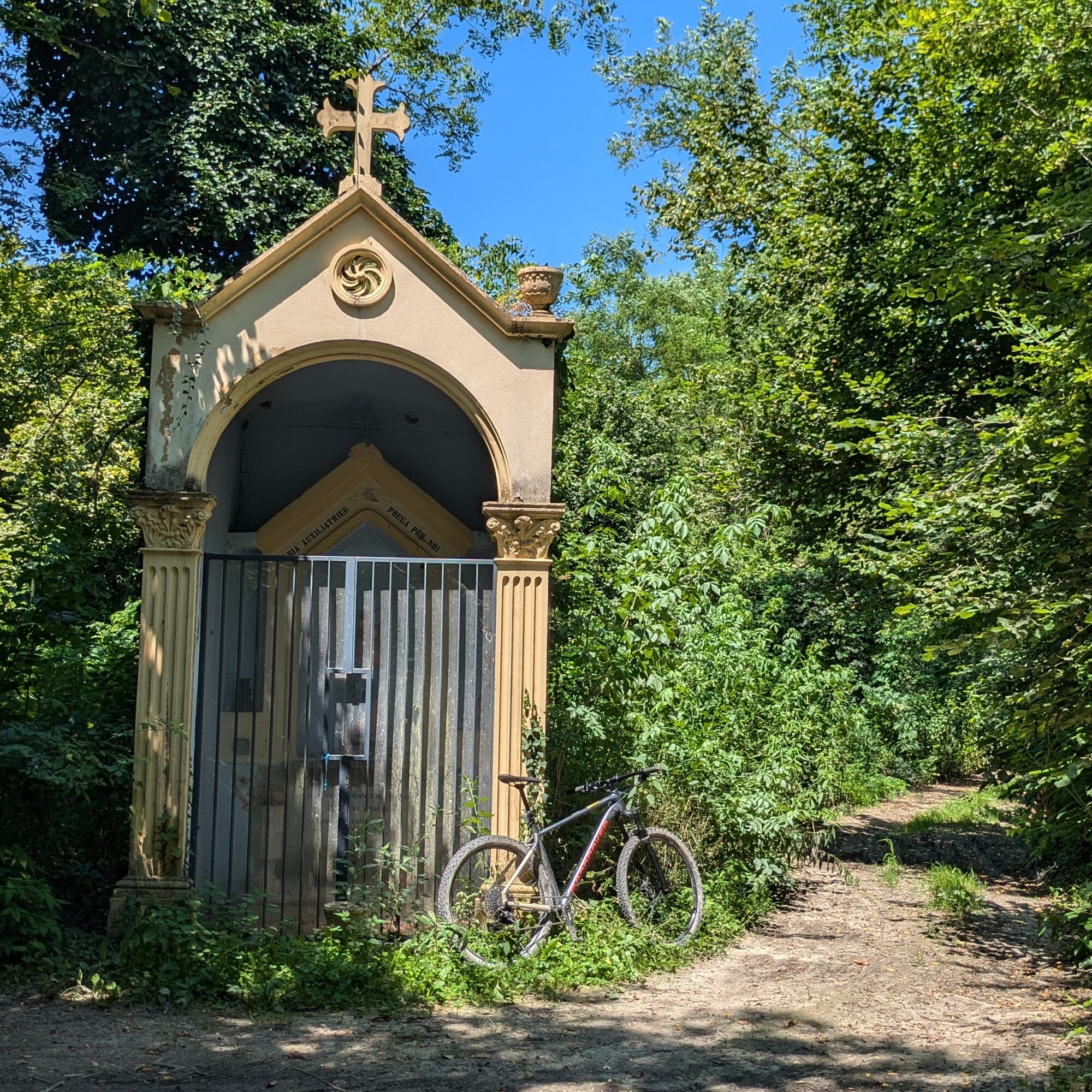
Cross the Dora Baltea river and at the next major intersection go up towards Caravino. In Caravino, take the small via San Rocco on the right, then turn right onto the provincial road leading to Masino Castle. Turn right at the roundabout and climb the hairpin bends until you reach the castle garden walls: continue and where the wall turns, take the dirt road on the right to follow up to the Maria Ausiliatrice pillar. From here, I recommend continuing by slightly keeping right then left to rejoin the MTB marked section further ahead, keeping slightly right at the crossroads. At the next fork, turn left and then continue straight along cultivated fields; upon reaching the road, turn right twice: in this way, you enter Maglione.
Pass the parish church of Maglione, start descending, and shortly after take via Lago on the left (near the San Sebastiano parking). Then keep left and descend to Lake Maglione. Upon reaching SP 78, turn left and immediately leave it to continue straight. Pass a large farm, Lake Crivello, and enter the village keeping right. Then turn right onto via Berno, then at a parking lot keep via Berno on the left. Next, turn right onto via G. Matteotti; then again right onto via Angiono Foglietti and finally onto strada per Miralta on the left. The road that becomes dirt is a via crucis leading to the Sanctuary of Madonna di Rivalta. Upon reaching the sanctuary, the path narrows, turns left shortly after and then right reaching the Church of San Martino and the giant "Panchina d'la Vila" bench. From the church, the path descends and reaches via Vische, which you take to the right, then turn left shortly after, continuing straight until the provincial road 595.
Turn right onto the provincial road, cross the Dora Baltea, and in the center of Mazzè turn right onto via Vische. Turn right again after the Church of San Rocco and ascend via Municipio until the starting point.
Bicycle helmet, bicycle pump, puncture repair kit, front light and reflectors, bicycle tools, bicycle backpack (about 20 liters with rain cover), sunglasses, biking gloves, sun and rain protection, snacks and drinking water, water bottle, first aid kit, synthetic ice pack, mobile phone, maps.
Make yourself visible when traveling on roads by using lights and reflective clothing.
Fountains and refreshment points are available in historic centers.
From the A4 motorway, exit at Rondissone and follow the direction for Tonengo, Mazzè.
Mazzè is served by bus line 4108 operated by GTT (see website for details).
The nearest train station is in Caluso, 3.6 km from Mazzè Castle. Visit the Trenitalia website for schedules.
The largest parking is at the town hall.
3
For all tourist information, consult the web portal Turismo in Canavese.
Before undertaking any excursion, it is advisable to check weather reports or ask for information at local Tourist Offices.
It is good practice not to undertake an excursion alone, always inform someone of your destination.
Do not litter the environment but carry your waste with you, also collecting any left by others.
The indicated travel times are approximate and may vary based on weather conditions and personal ability.
Visit Masino Castle (go to the website to book your visit) and the historic center of Mazzè.
Priljubljeni izleti v okolici
MONTALTO DORA Terre Ballerine - In search of Lake Coniglio
svetlobaPohodništvo 5.35 km- 3.0
Via Francigena Etappe 5
srednjaPohodništvo 36.7 km CANDIA Lake Candia MTB loop
svetlobaMountainbike 10.8 kmCHIAVERANO Loop on the Serra d'Ivrea
srednjaPohodništvo 14.5 kmChiaverano - Church of Santo Stefano di Sessano
srednjaMountainbike 27.4 kmTORRE CANAVESE Nature Route
svetlobaPohodništvo 6.71 kmErratic boulders trail of Vialfré
svetlobaPohodništvo 7.15 kmCHIVASSO Multi-stage loop of the ancient Balteo Glacier
srednjaKolesarjenje na dolge razdalje 195.4 kmIVREA Ivrea - Viverone Route
srednjaKolesarjenje na dolge razdalje 52.4 kmRing of the Ancient Balteo Glacier - stage 4
srednjaKolesarjenje na dolge razdalje 51.0 km
Pohodništvo in sledenje


Ne zamudite ponudb in navdiha za naslednje počitnice
Vaš e-poštni naslov je bil dodan na poštni seznam.





