


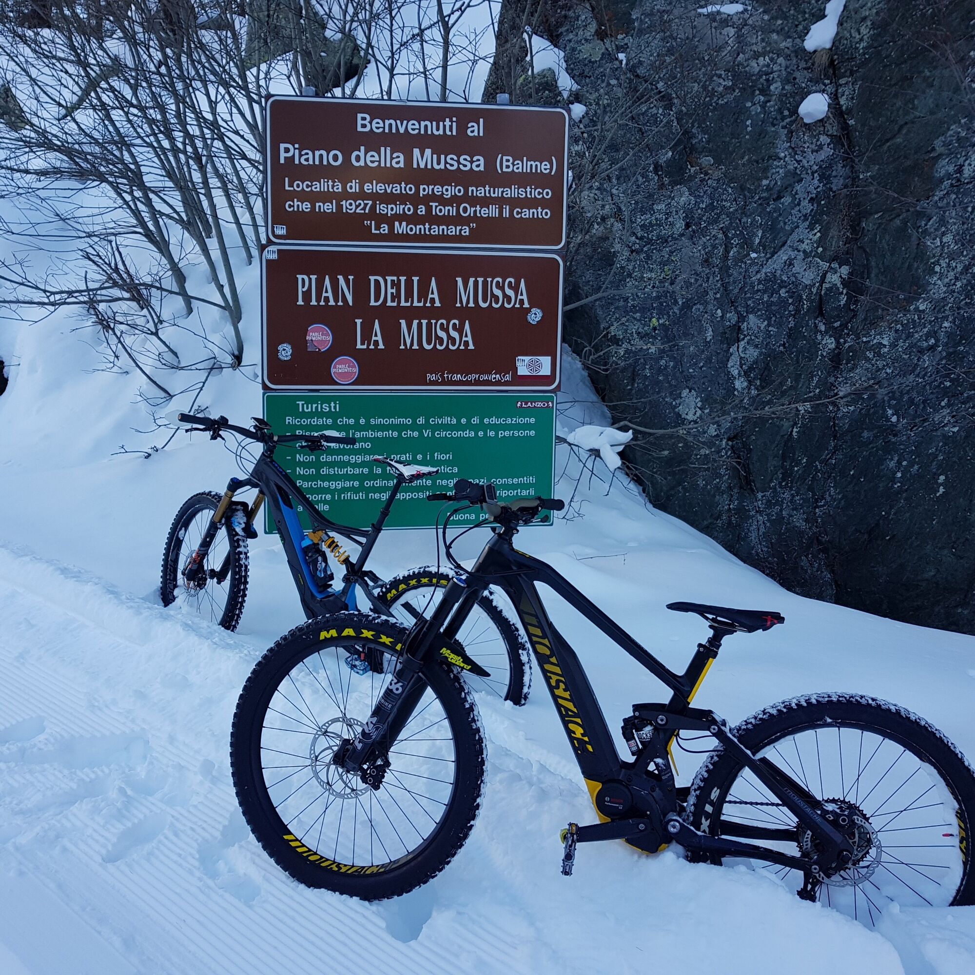
ALA DI STURA AL-BA trail up to Pian della Mussa
Stopnja težavnosti: S1


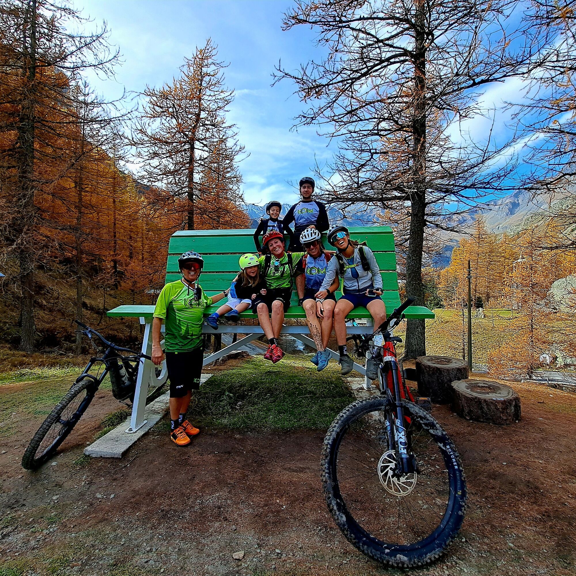
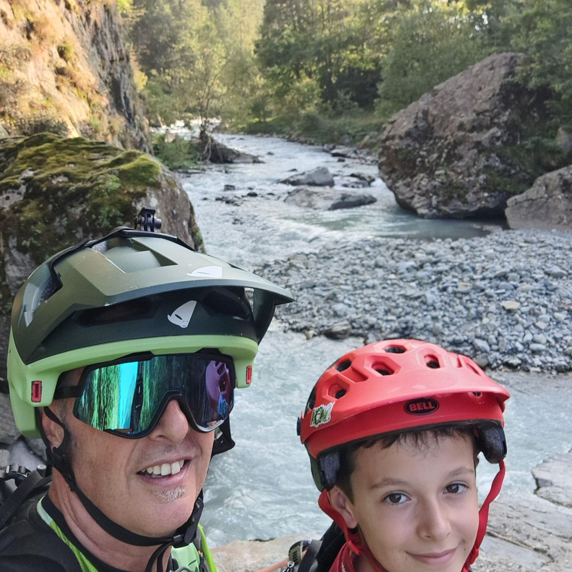
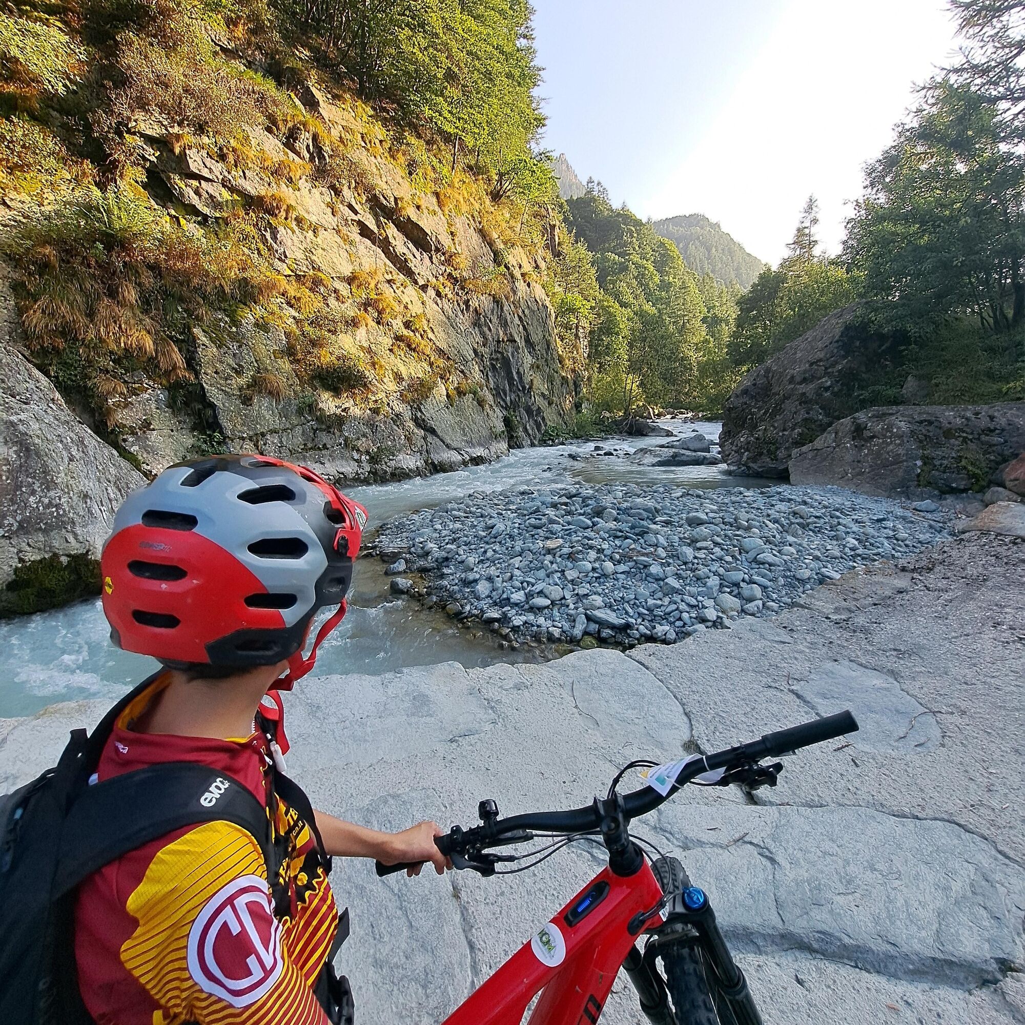
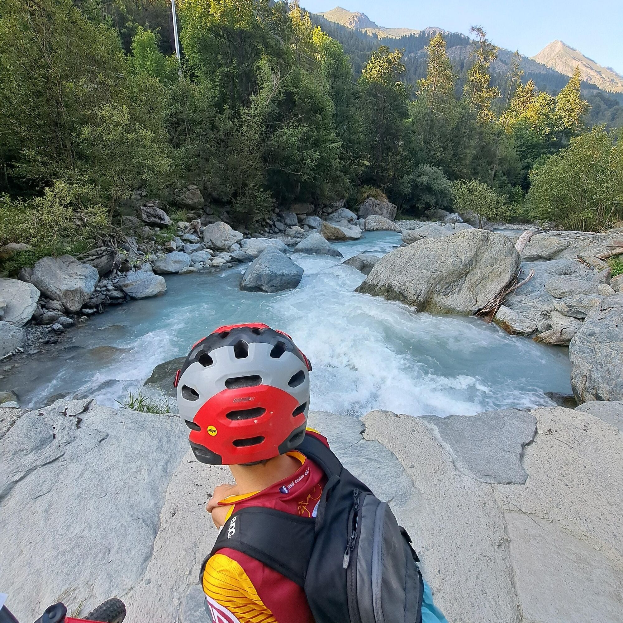
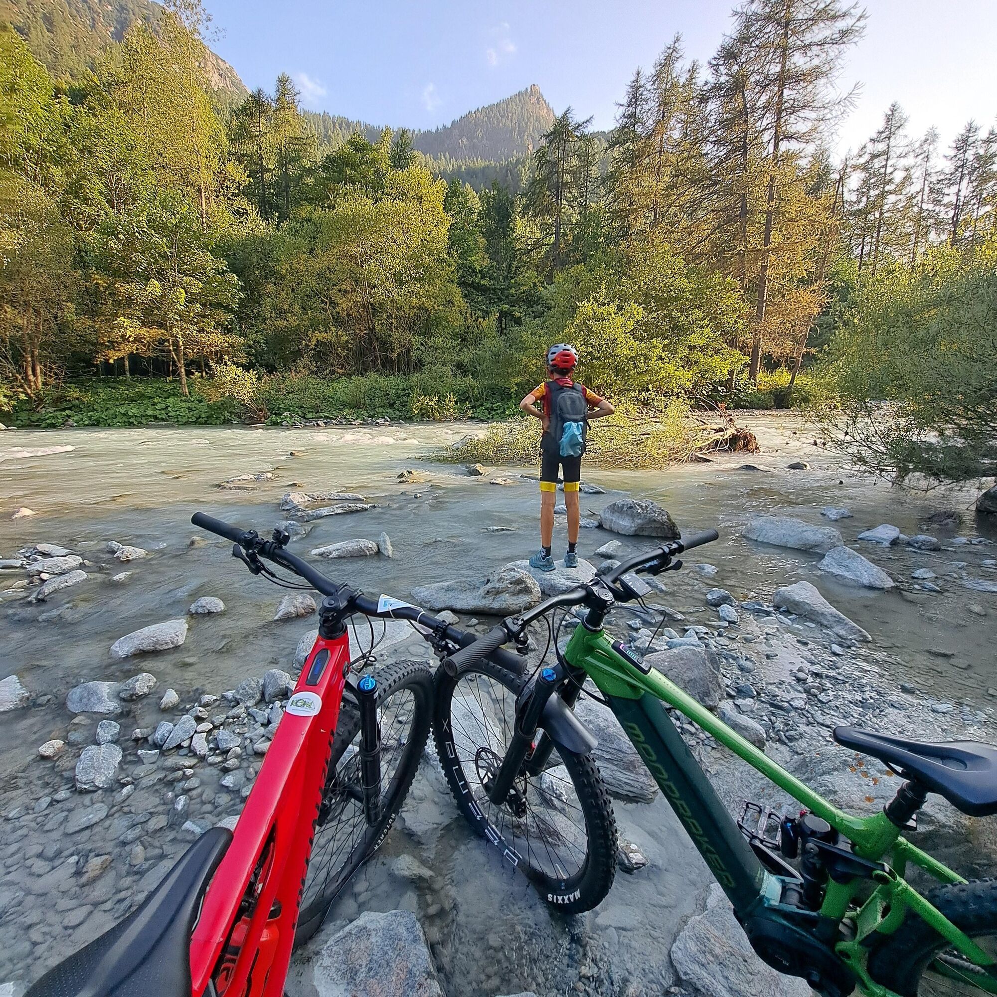
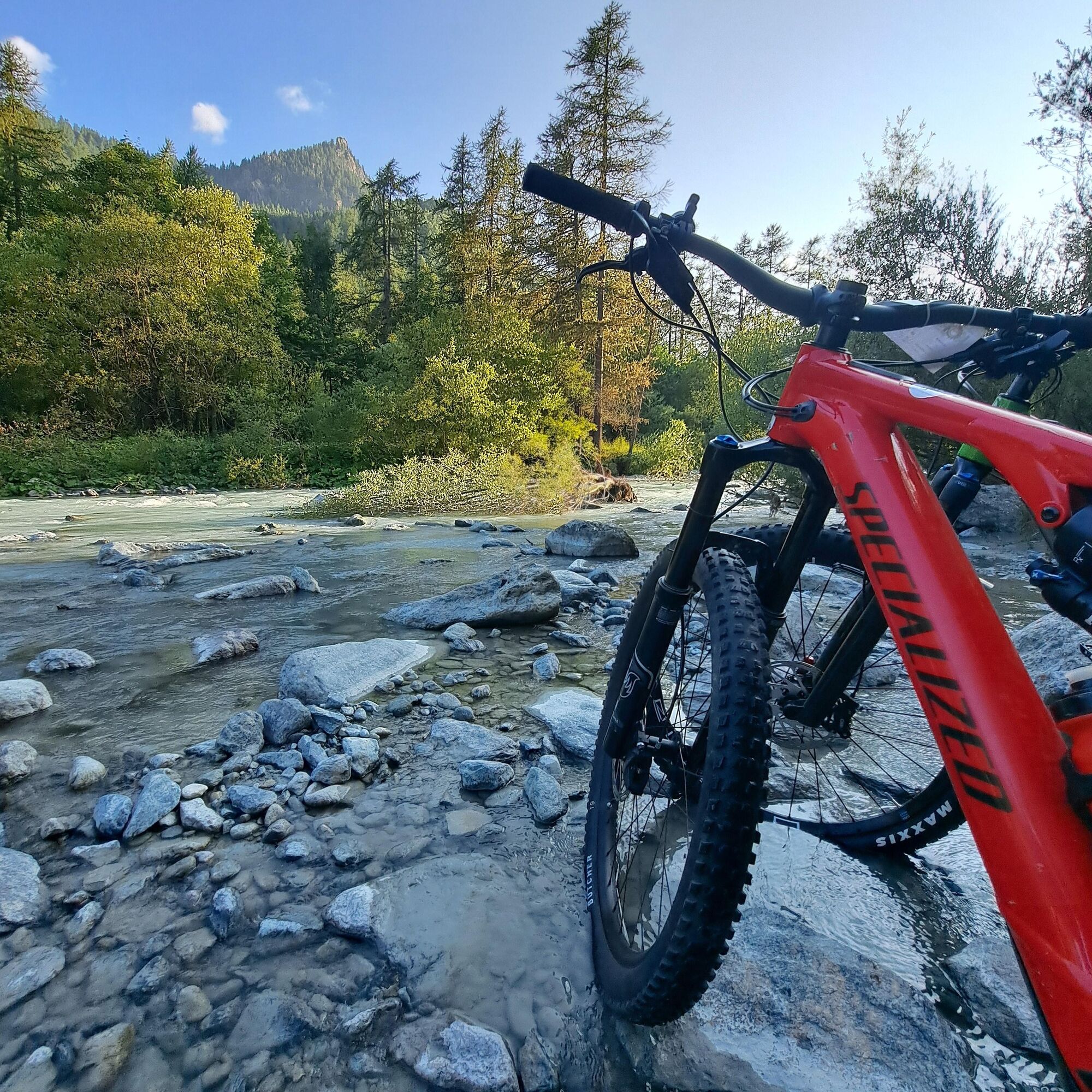
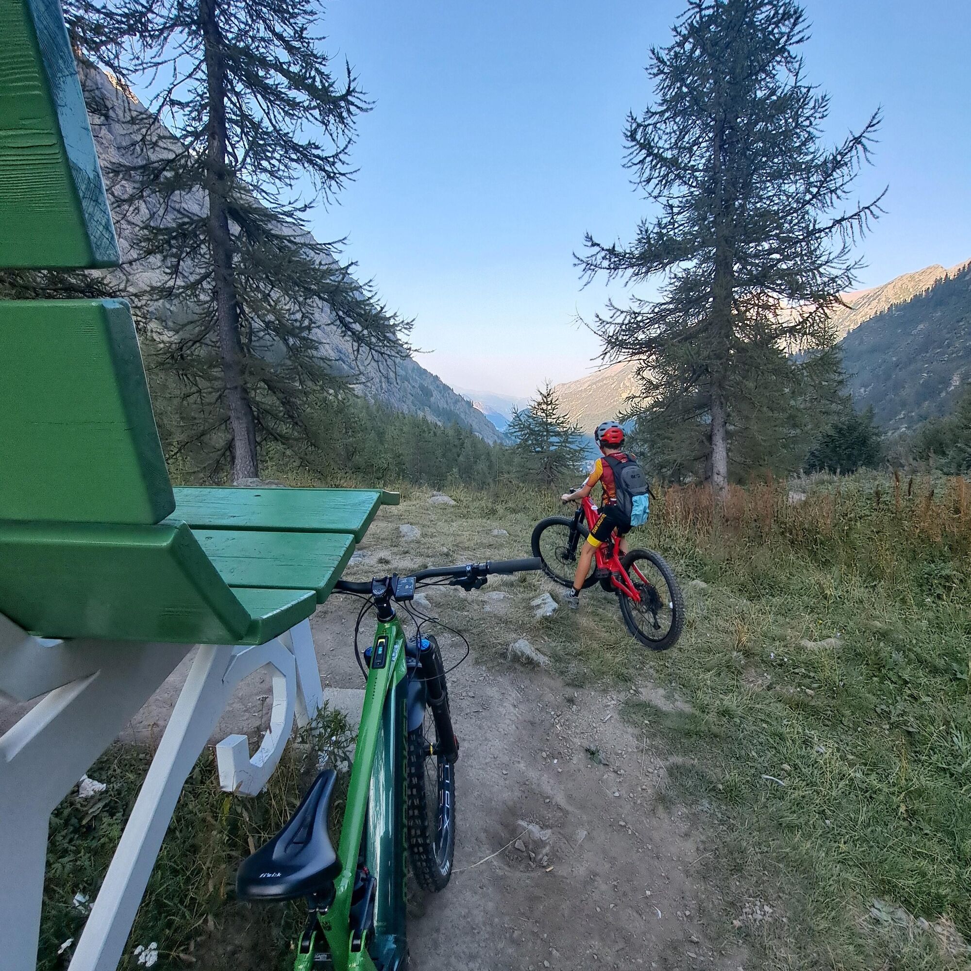
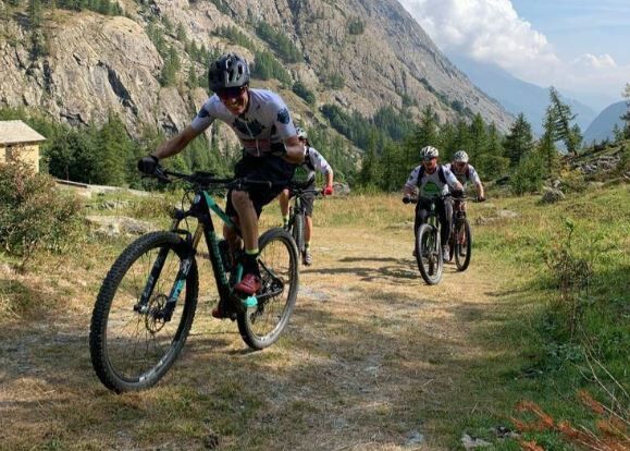
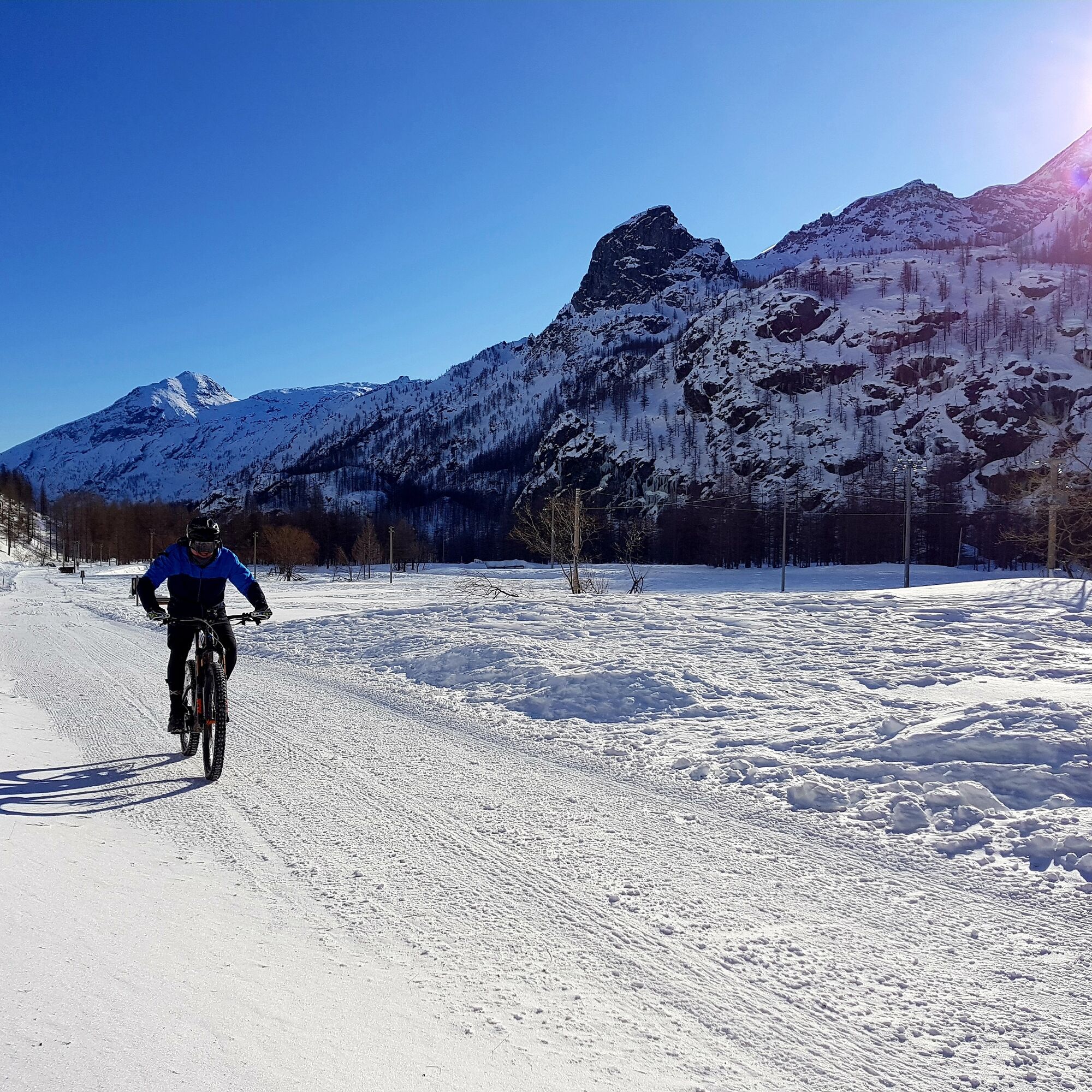
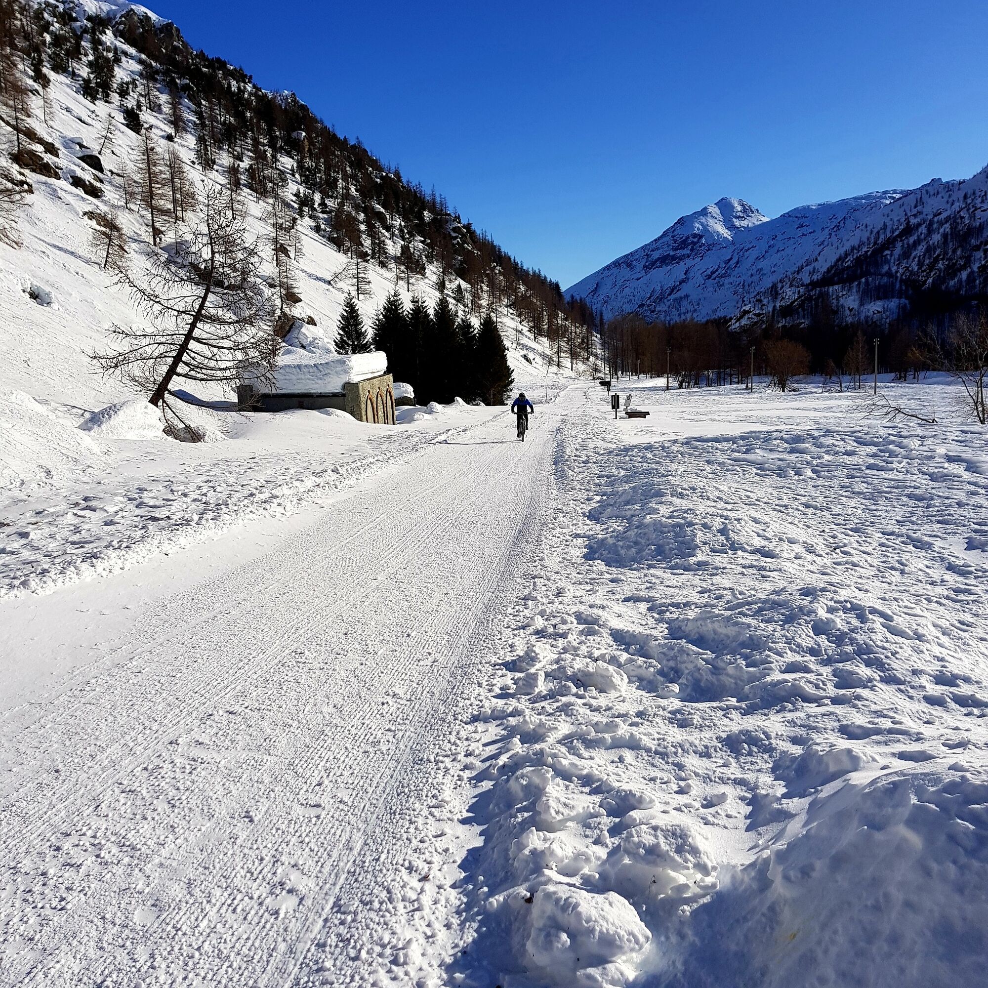
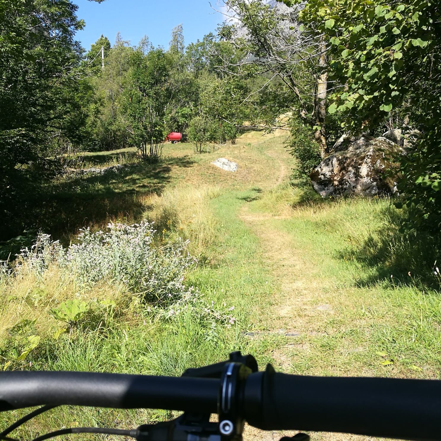
Our main proposal is linked to the Ala-Balme trail (or AL-BA), which starting from the village of Ala di Stura ascends to Balme and, if desired, further up to the famous Pian della Mussa.
The Pian della...
Our main proposal is linked to the Ala-Balme trail (or AL-BA), which starting from the village of Ala di Stura ascends to Balme and, if desired, further up to the famous Pian della Mussa.
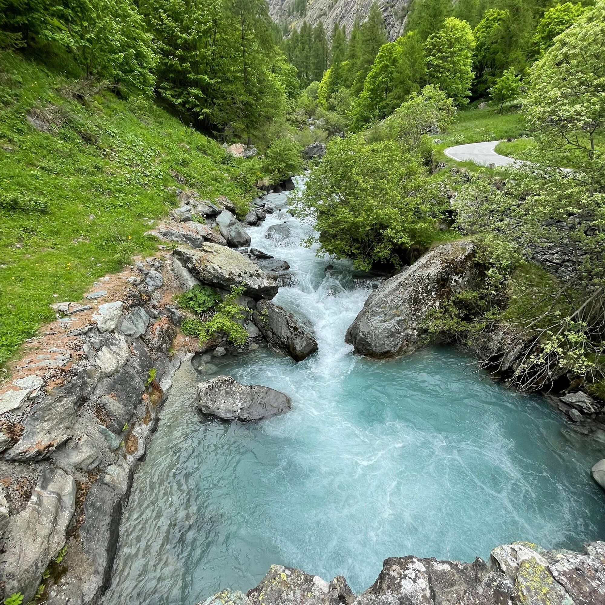
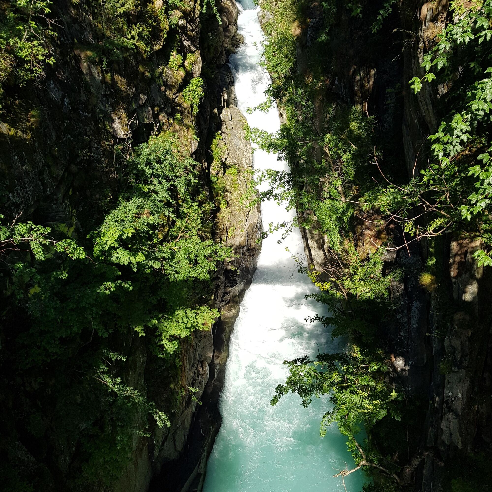
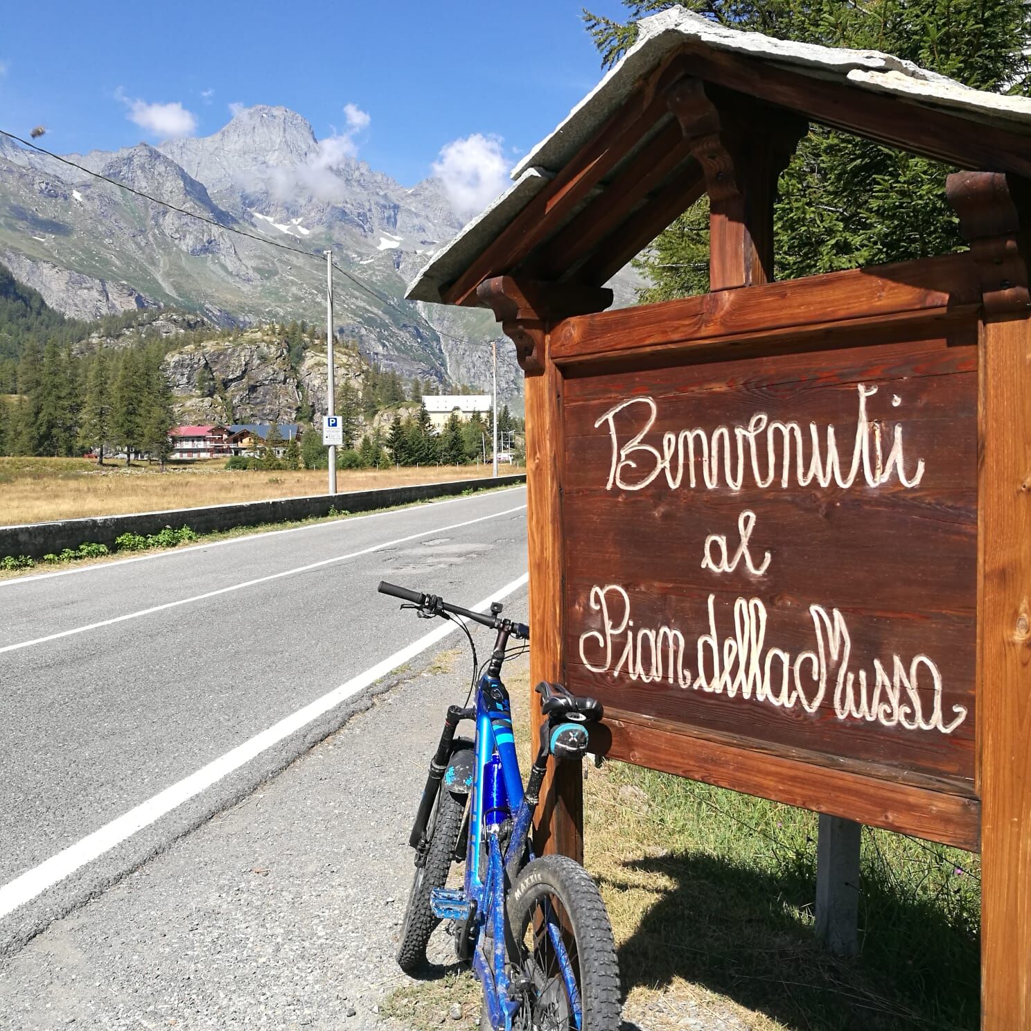
The Pian della Mussa is the plateau encountered when descending from the Arnas pass that connects the French part of Savoy to the Italian one. The plateau is mentioned among the possible passing routes of the Holy Shroud, which crossed Val d'Ala in 1535, and has been frequented since ancient times for the summer exploitation of the surrounding pastures, used for the production of Balme toma cheese.
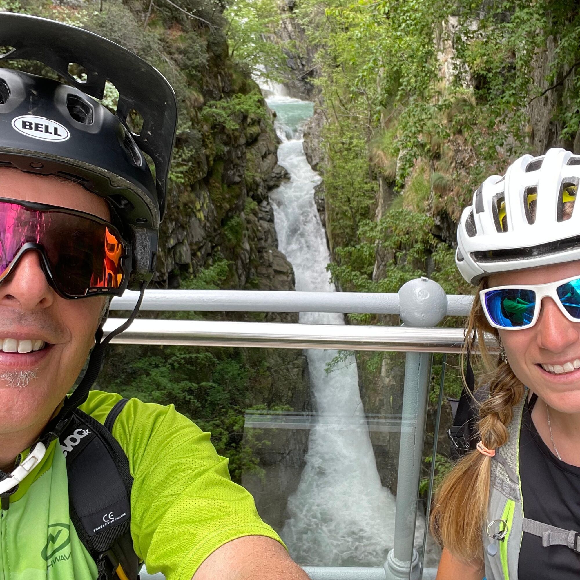
Here, multiple accommodations can offer a moment of refreshment before tackling the descent on the same type of route.
However, at least 3 distinct routes are available that, relying on different sides of the Valley, while sharing a good part of the path along the Stura Valley, provide suggestive and always panoramic alternatives.
The numerous accommodations present in the Valley (our partners whom we will be pleased to recommend) are available for charming stays and organizing aperitifs or dinners based on local typical products.
Da
Da
From Ceres, you can start by bicycle and reach Ala di Stura. Alternatively, by car you can reach the municipality of Ala di Stura, the starting point
Train or bus available up to Ceres
Ala di Stura
S1
We recommend booking one of our MTB guides for a more immersive experience
Priljubljeni izleti v okolici
CERESOLE REALE Bellagarda ponds
srednjaPohodništvo7,60 km- 5,0
LEMIE Ovarda Lakes loop
težkoPohodništvo15,9 km GERMAGNANO loop Colle della Dieta
Cestno kolo41,7 kmCHIALAMBERTO Frassa Loop
srednjaPohodništvo10,1 kmCERES Sentiero Natura Val Grande
srednjaKolesarjenje40,7 kmBALME Molino Bivouac Loop
srednjaPohodništvo7,55 kmPIALPETTA Val Grande Balcony Trail loop
srednjaPohodništvo13,1 kmCERES nature trail up to Forno Alpi Graie
srednjaMountainbike36,1 kmMEZZENILE Alpe del Conte Loop
težkoMountainbike25,2 kmCERES Santa Cristina Loop
srednjaPohodništvo7,84 km
Pohodništvo in sledenje


Ne zamudite ponudb in navdiha za naslednje počitnice
Vaš e-poštni naslov je bil dodan na poštni seznam.