


BARDONECCHIA Punta Colomion - Puys - Beaulard Ring
Stopnja težavnosti: S1


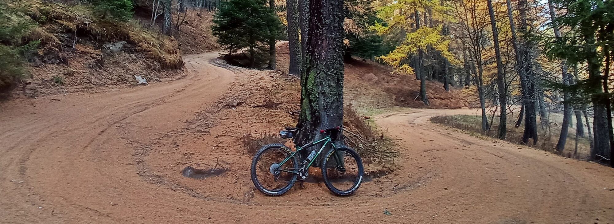
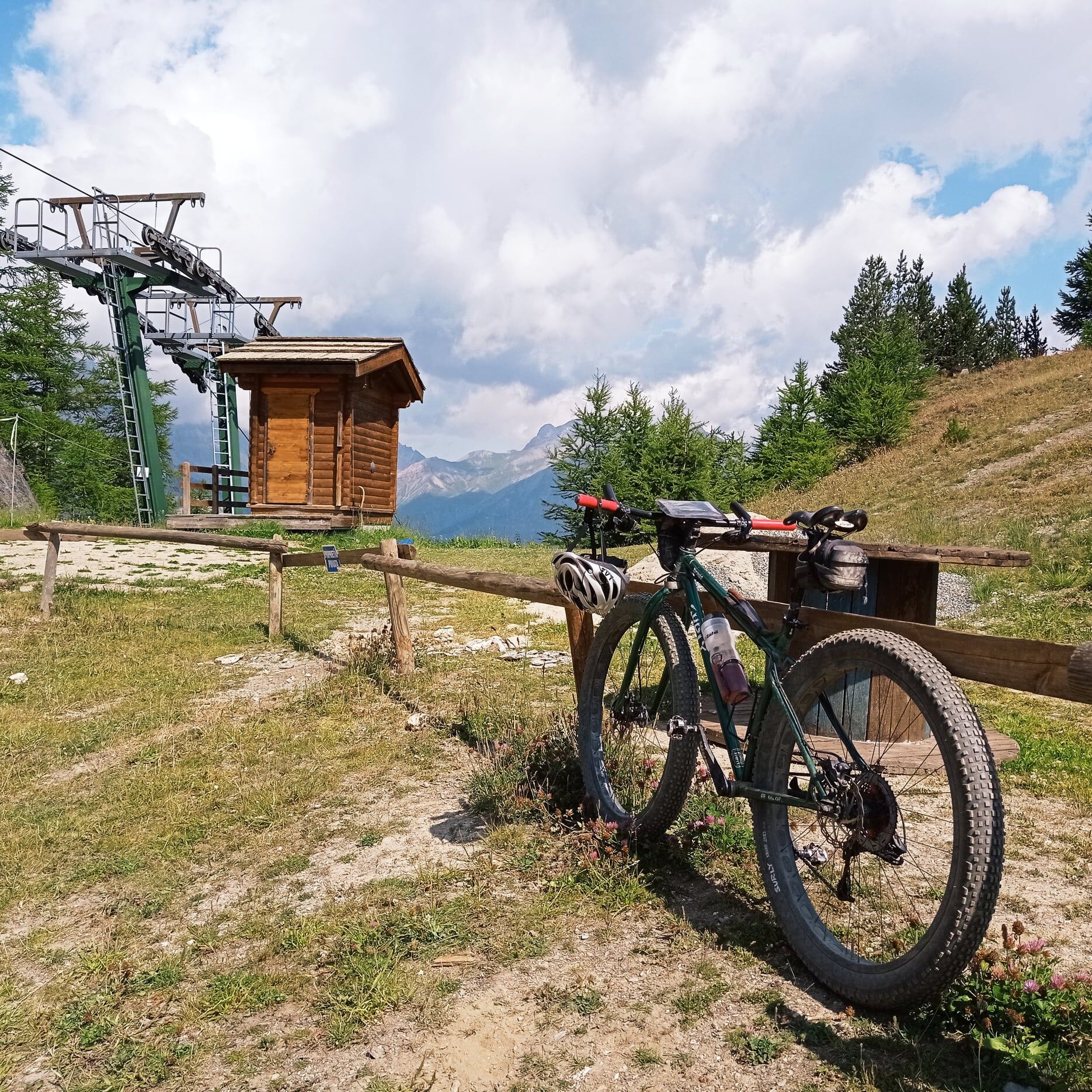
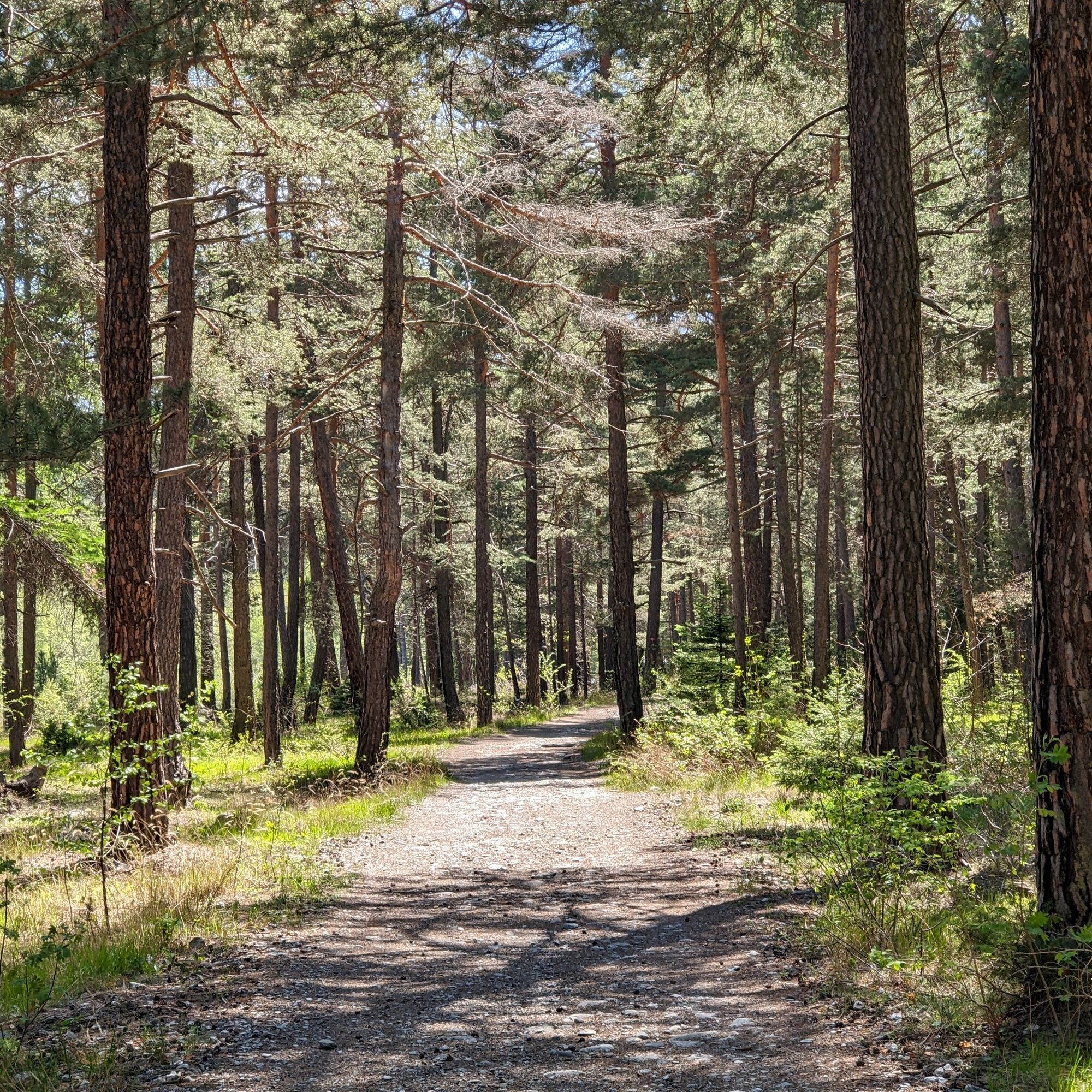
The route initially twists and turns through the forest on the edge of the Bardonecchia ski area and leads to Punta Colomion where the bar of the same name is located, as well as the arrival of the ski...
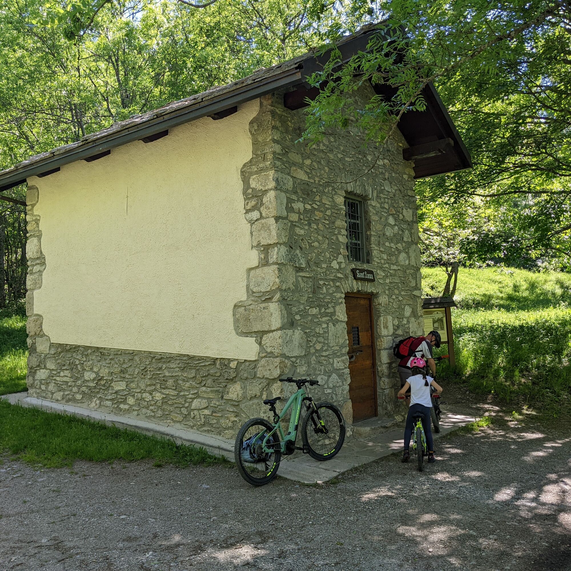
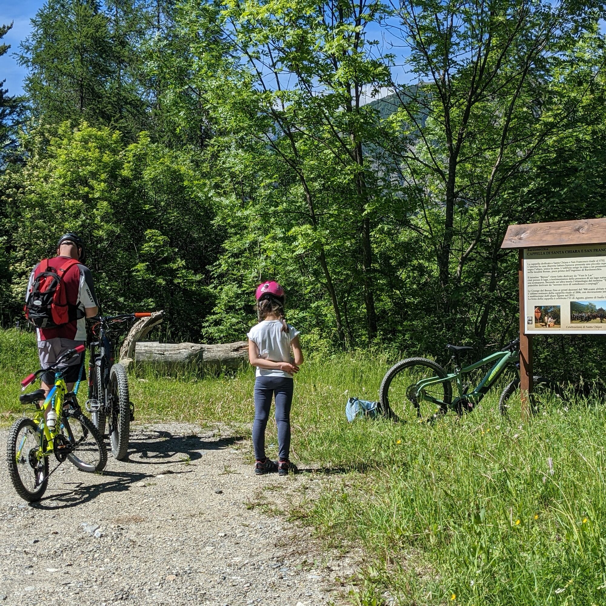
The route initially twists and turns through the forest on the edge of the Bardonecchia ski area and leads to Punta Colomion where the bar of the same name is located, as well as the arrival of the ski lift from Pian del Sole. From the ridge you can enjoy the beauty of the panorama of the surrounding mountains and the villages below. The descent, on the Oulx side, passes through the hamlet of Puy and arrives at the hamlet of Beaulard from where a mule track again in the woods and on a false plain leads back to Rocca Tagliata.
Possibility of return by train from Beaulard.
Technical advice by Andrea Calzati - Bicycle touring guide.
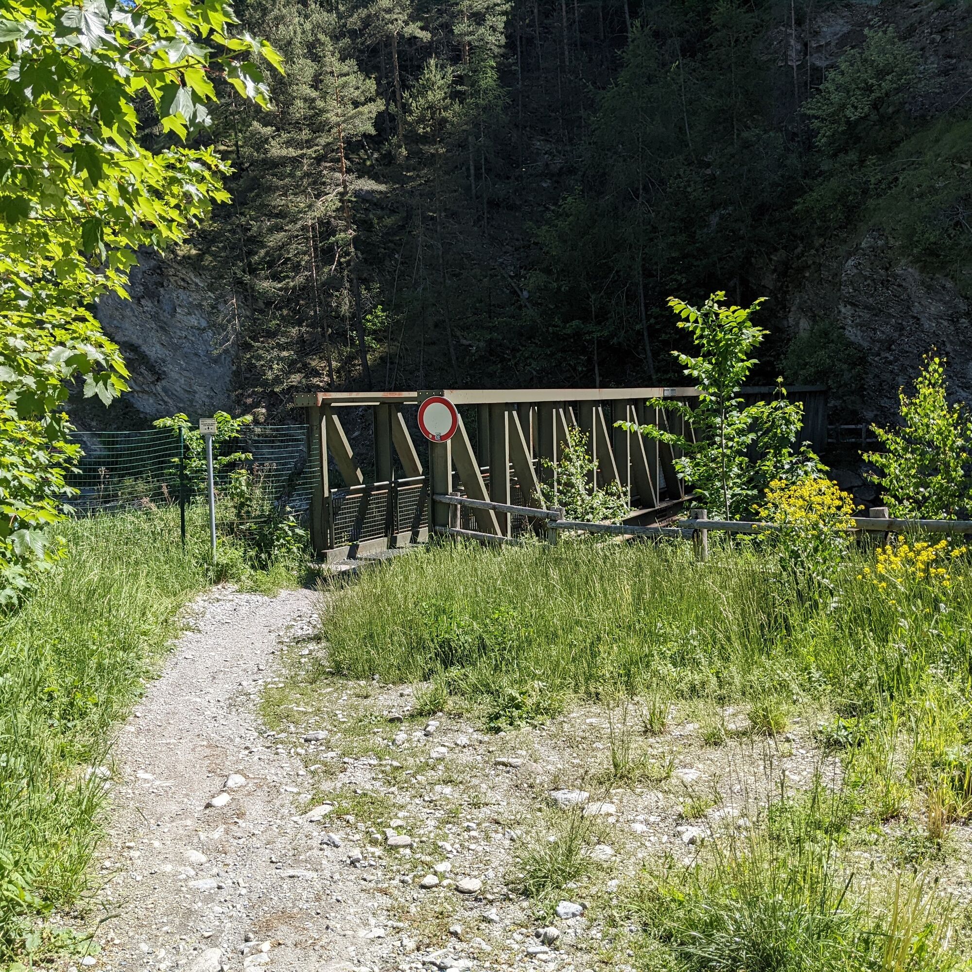
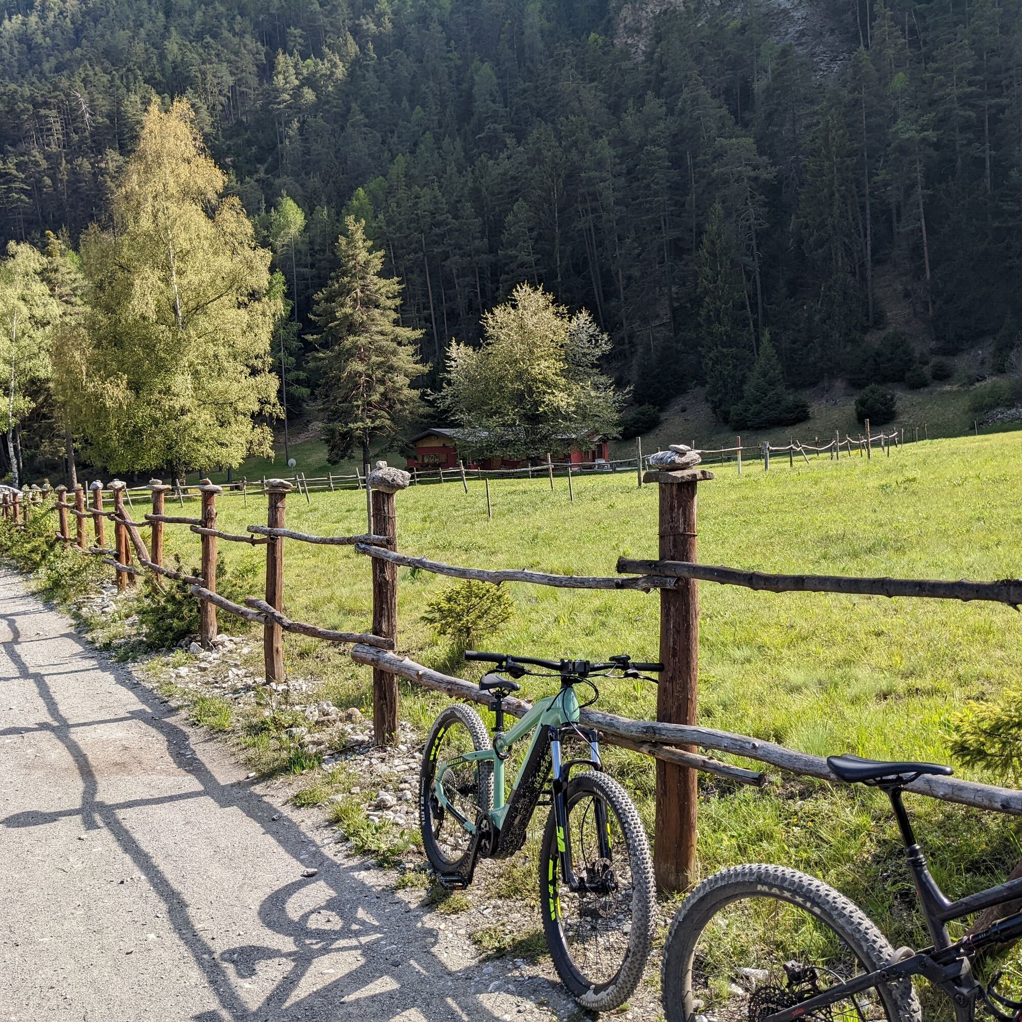
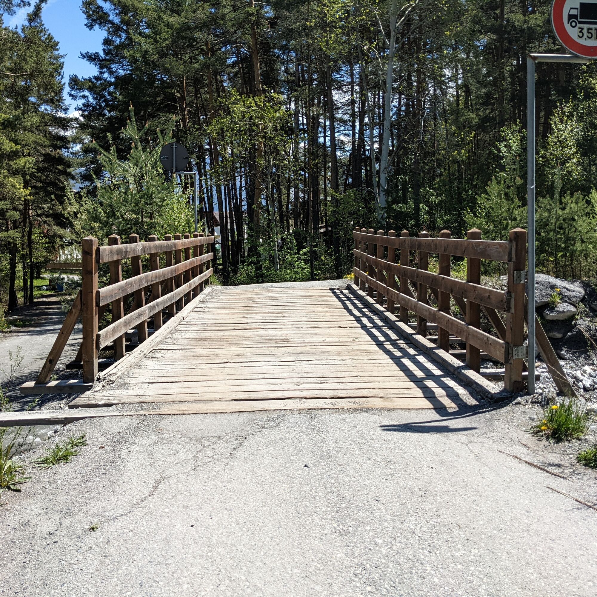
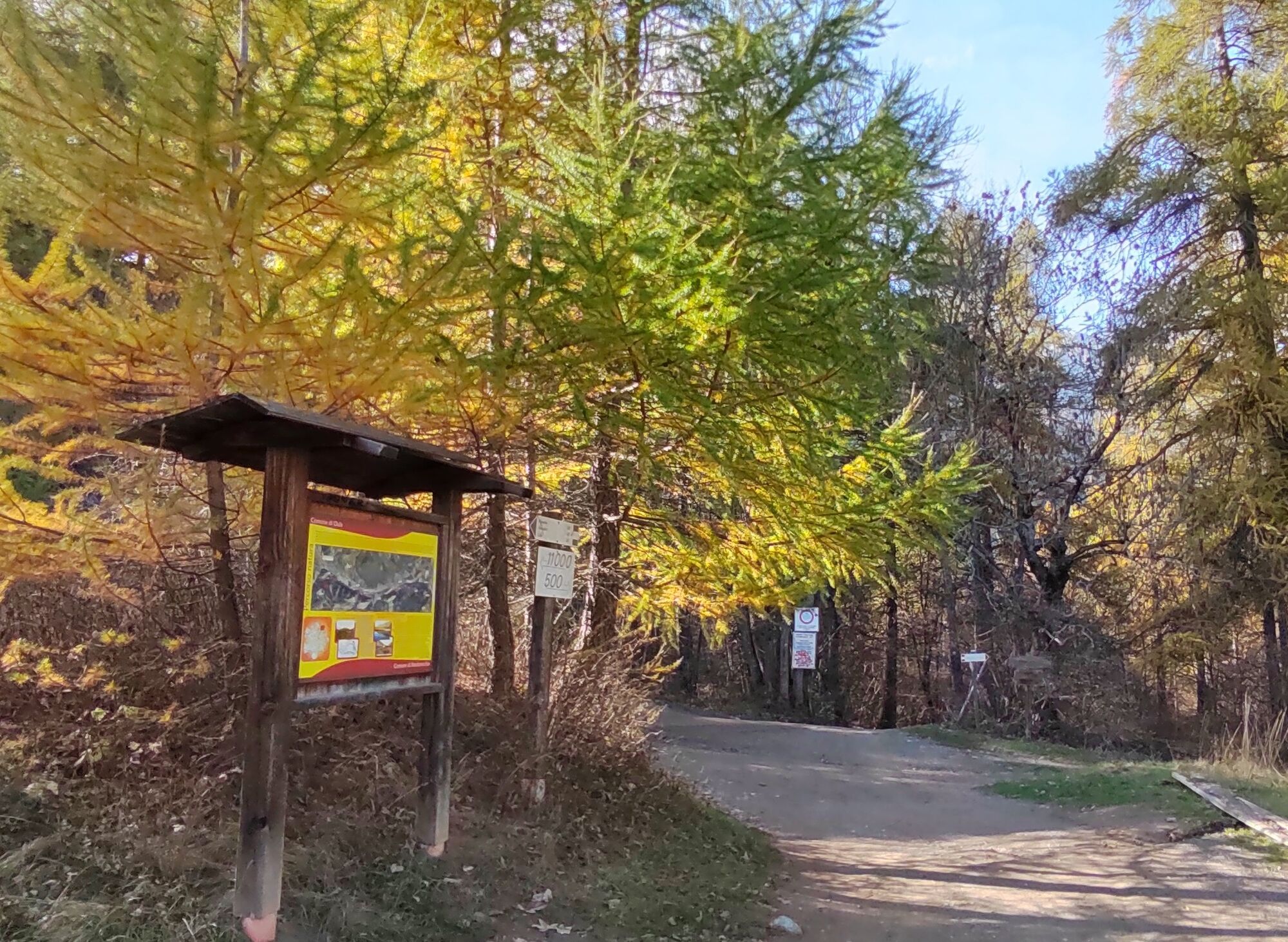
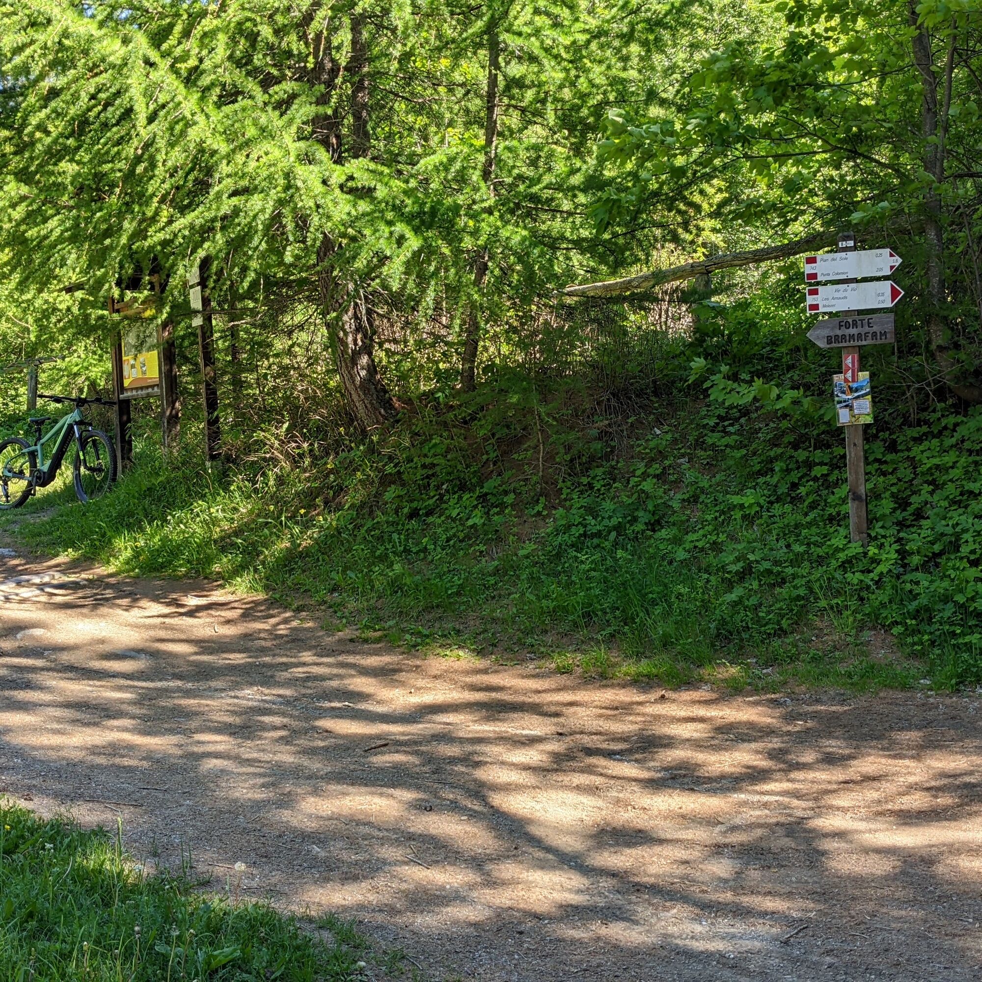
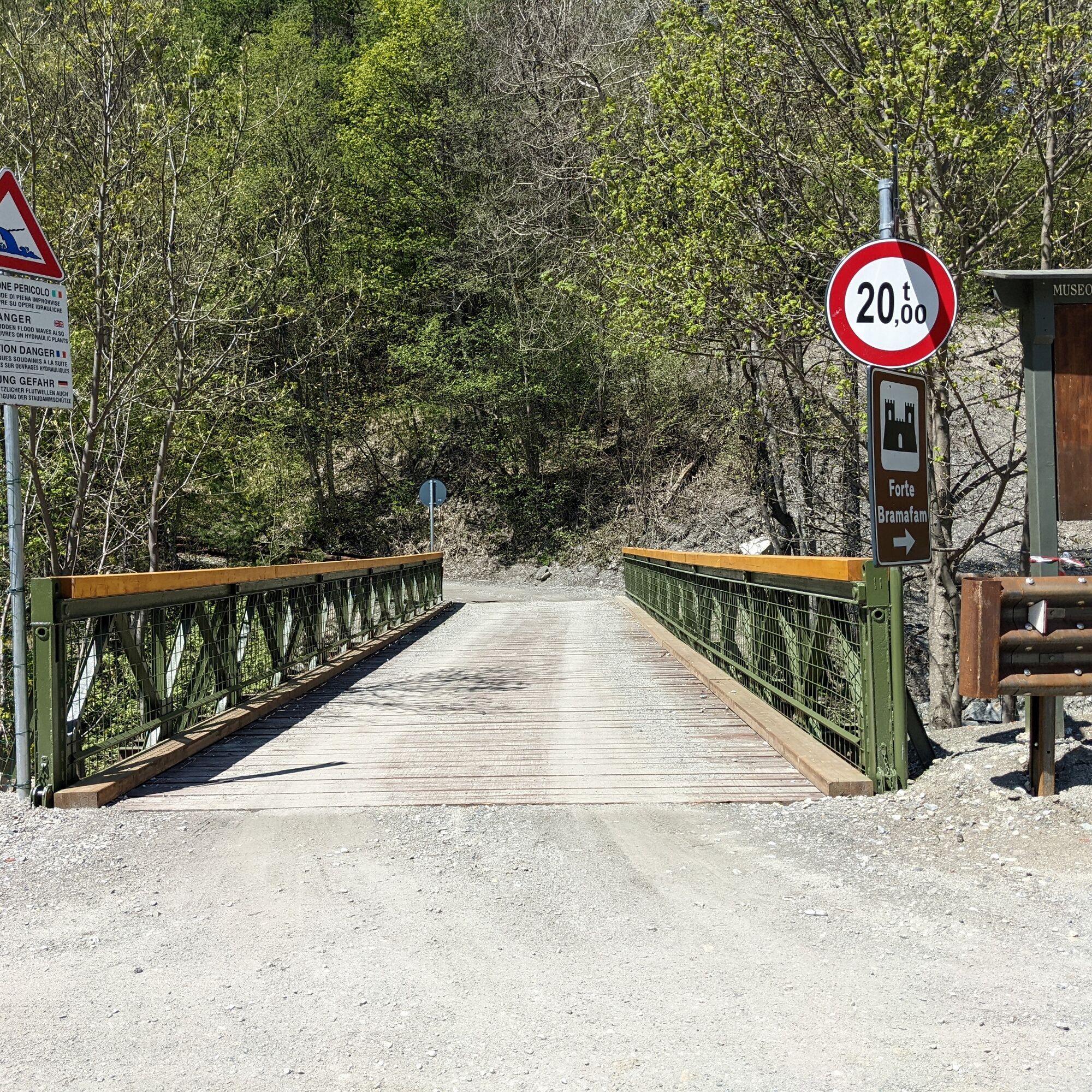
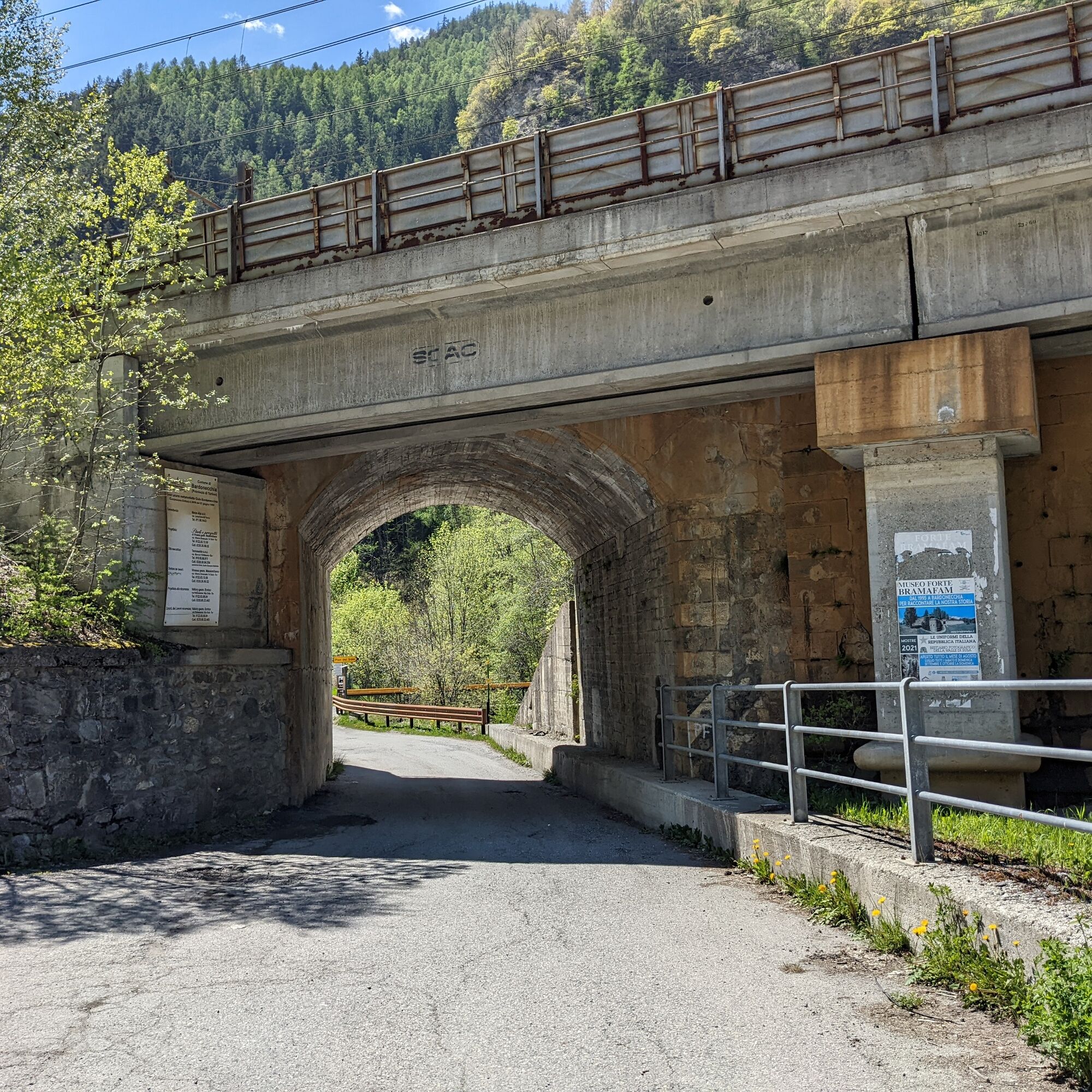
From the train station cross the bridge over the Frejus Creek and at the traffic circle turn left onto Via Torino. Follow the road and at the fork take the SS335 in the direction of Oulx. After a couple of km turn right under the railway in the locality of Rocca Tagliata, cross the bridge and take the dirt road uphill towards Fort Bramafam. Proceed to the crossroads in the locality Quattro Strade ignoring the fork to the fort. Take the road on the left that climbs in hairpin bends in the woods ignoring the fork for Pian del Sole and reach Punta Colomion. Continue flat for about a hundred meters and take the dirt road on the left downhill to Puy. Immediately after the hamlet the road becomes paved and in a few km leads to Beaulard. Before the level crossing take the level dirt road on the left (former cross-country track) and follow it to the green iron footbridge at Rocca Tagliata. Cross it and join the state highway to return to Bardonecchia.
Mtb
E-bike
Gravel
The road is closed to motorized vehicles from Pian del Sole to Punta Colomion on Wednesdays.
The section of road from Beaulard to Rocca Tagliata is closed to motorized vehicles.
For details of the regulation of motorized traffic on mountain roads click here.
By car:
- Highway A32 Turin - Bardonecchia, exit Bardonecchia
- State Road 24: Turin - Oulx and then State Road 335: Oulx - Bardonecchia
Once you reach Bardonecchia, head down Via Torino toward the parking lots adjacent to the police station
By train:
Park adjacent to the Police Station or, to avoid the first piece of asphalt, directly at Rocca Tagliata.
S1
Bring sufficient water supplies because there are no fountains along the route before the Puy hamlet.
Possibility to return by train from Beaulard.
This route is part of the trail network easily accessible from the Sentiero Italia.
Visit Fort Bramafam with the Museum on the history Royal Army.
Take a break at the Punta Colomion Bar and enjoy the view of the valley.
Priljubljeni izleti v okolici
-
5.0
BARDONECCHIA Colle Sommeiller
srednjaMountainbike 25.4 km -
5.0
BARDONECCHIA Decauville
svetlobaPohodništvo 7.29 km -
5.0
BARDONECCHIA Lago Verde
srednjaPohodništvo 4.14 km -
5.0
BARDONECCHIA Col des Acles - Passo della Mulattiera
težkoPohodništvo 6.57 km -
4.5
BARDONECCHIA Sentiero Walter Bonatti - Grange della Rho
srednjaPohodništvo 6.12 km -
5.0
CESANA T.SE To Fenils (No. 48)
svetlobaPohodništvo 4.29 km -
5.0
BARDONECCHIA Forte Jafferau Ring
težkoMountainbike 36.8 km -
BARDONECCHIA Punta Colomion - Passo della Mulattiera - Pian del Colle Ring
težkoMountainbike 25.1 km -
BARDONECCHIA Punta Quattro Sorelle
težkoPohodništvo 8.69 km -
BARDONECCHIA Monte Thabor
težkoPohodništvo 8.82 km
Pohodništvo in sledenje


Ne zamudite ponudb in navdiha za naslednje počitnice
Vaš e-poštni naslov je bil dodan na poštni seznam.