


Historical Mountain Routes | The Via Regia along the Old Aosta Road
Fotografije naših uporabnikov

 © Mario camanniUstvarjeno na 25.06.2025
 © Mario camanniUstvarjeno na 25.06.2025
 © Mario camanniUstvarjeno na 25.06.2025
 © Mario camanniUstvarjeno na 25.06.2025
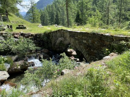 © Mario camanniUstvarjeno na 25.06.2025
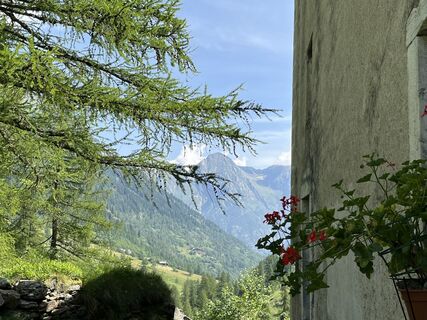 © Mario camanniUstvarjeno na 25.06.2025
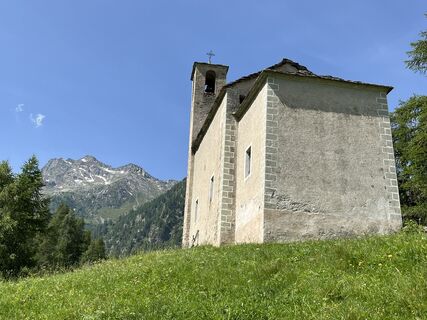 © Mario camanniUstvarjeno na 25.06.2025
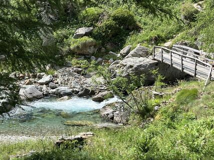 © Mario camanniUstvarjeno na 25.06.2025
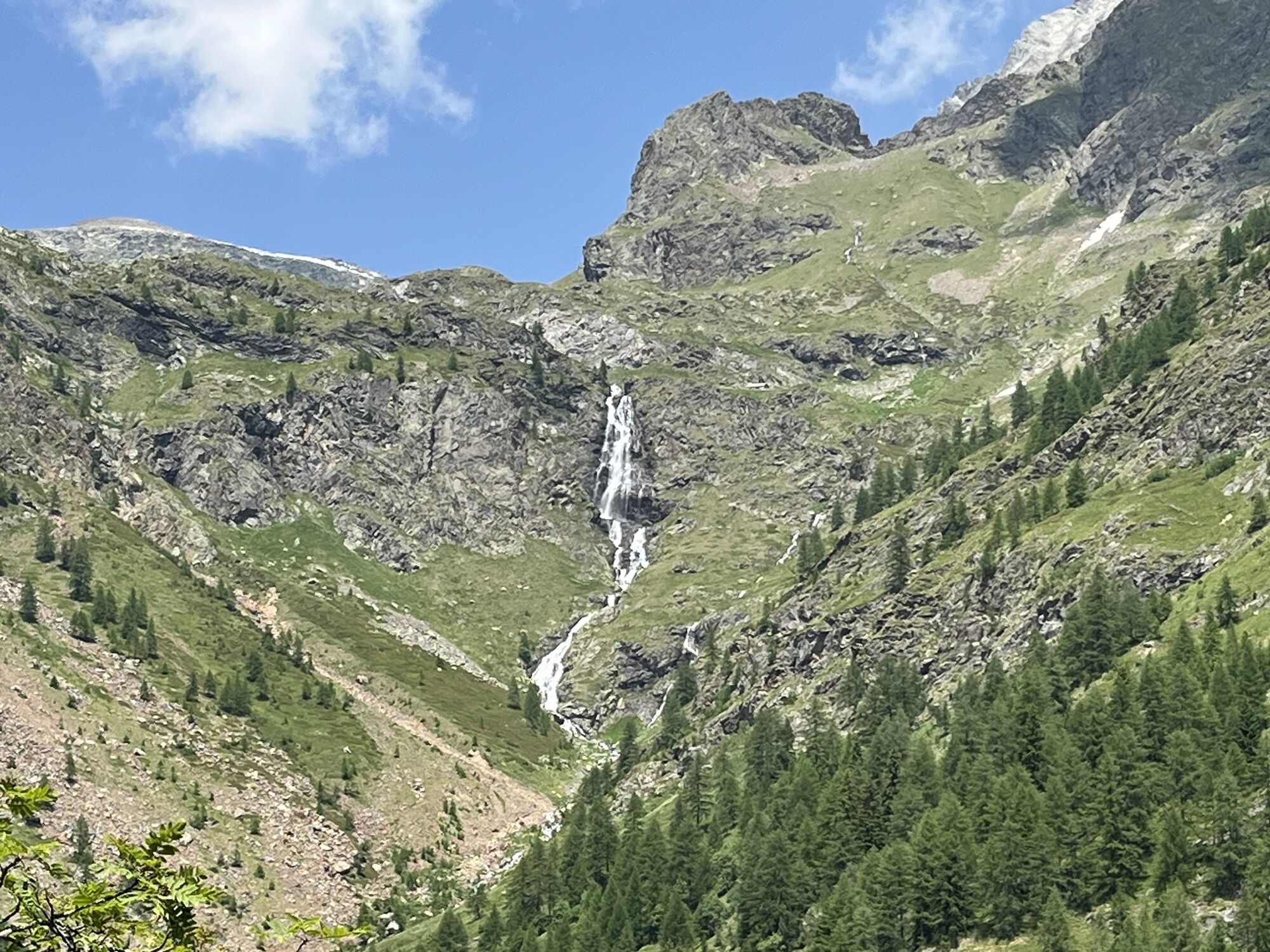
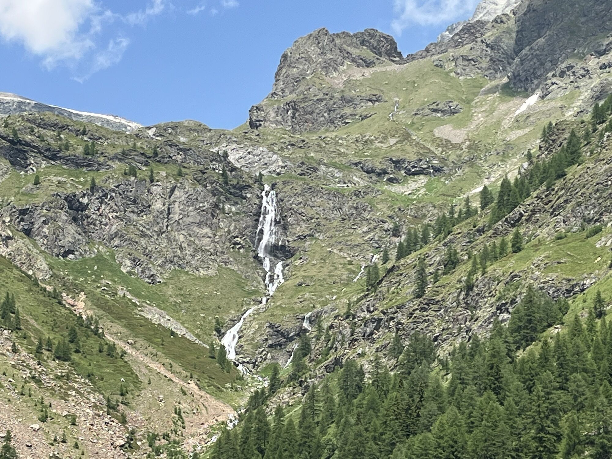
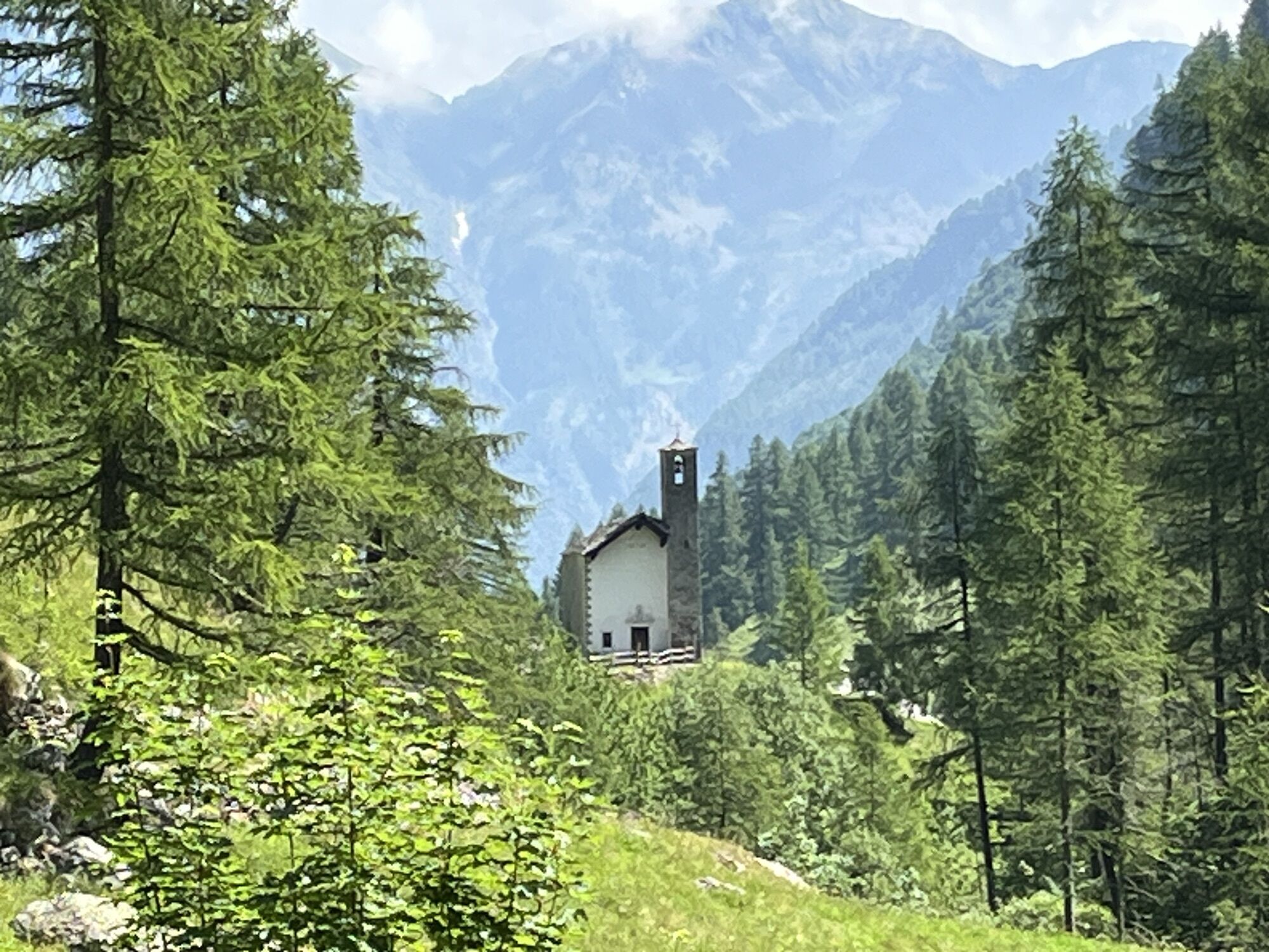


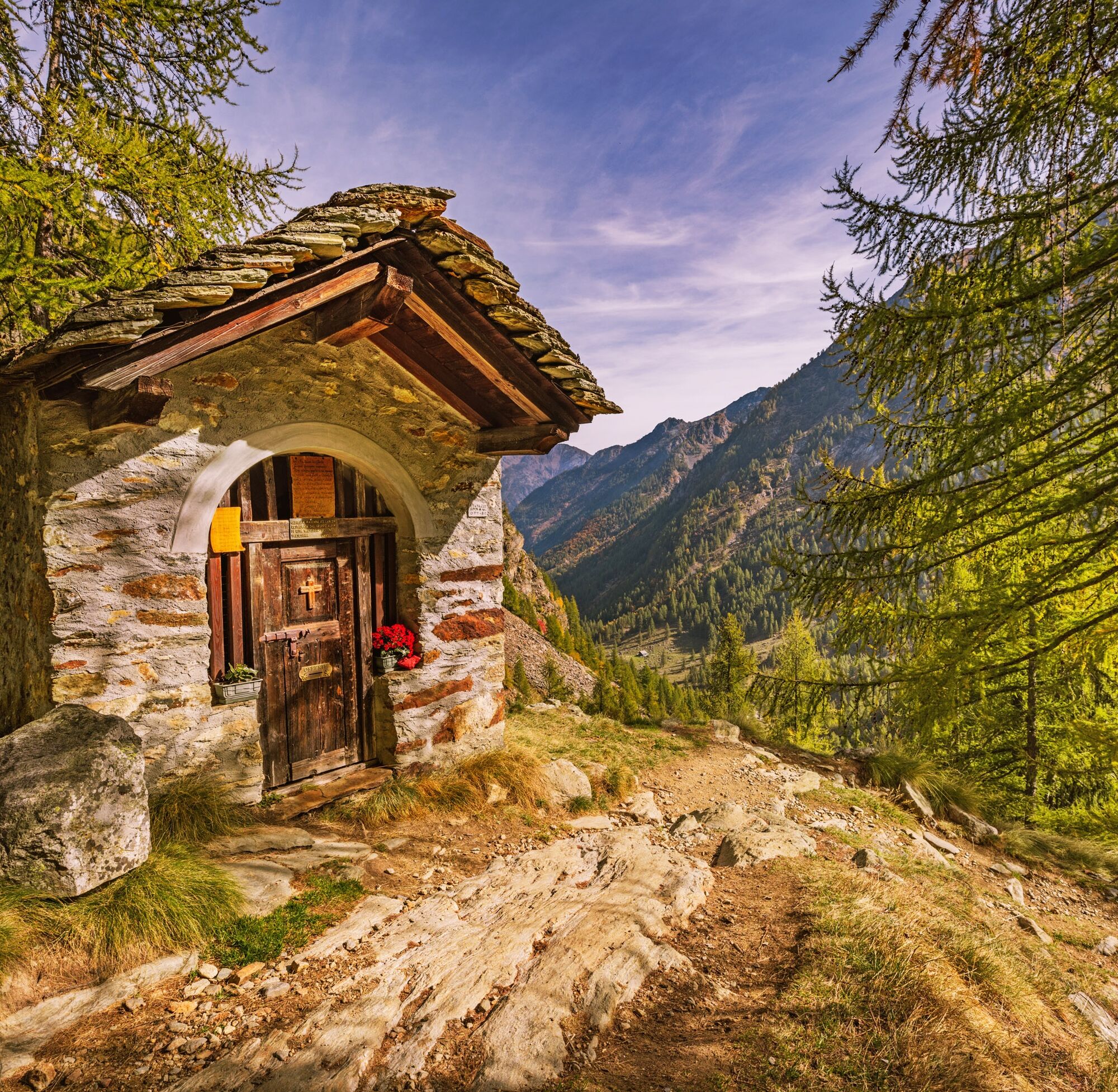
Colle di Valdobbia, at 2480 meters above sea level, allows communication between Valsesia and Valle d'Aosta via Valle Vogna, where the mild climate favored the settlements of Walser settlers from Gressoney...
Colle di Valdobbia, at 2480 meters above sea level, allows communication between Valsesia and Valle d'Aosta via Valle Vogna, where the mild climate favored the settlements of Walser settlers from Gressoney in the 1300s. Merchants once passed through this road to go to the Fiera di San Michele in Riva Valdobbia, which is still celebrated today, but was also traveled by Napoleonic soldiers and nobles and rulers. Nicolao Sottile promoted the construction of a hospice on the hill, the Ospizio Sottile Refuge, inaugurated in 1833 which still today offers hospitality and shelter to hikers.

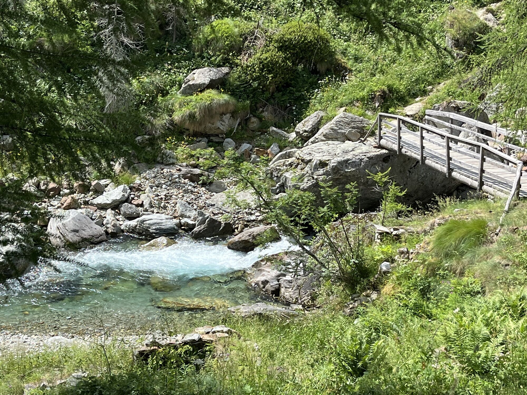
Starting from Alagna, take a stretch of cycle/pedestrian path running to the left of the Sesia river to reach the hamlet of Riva Valdobbia and taking the Val Vogna on the path that climbs in the direction of Rabernardo. Through Alpe Selletto, the villages of Cambiaveto and Piane you reach the town of Peccia and, after the bridge, that of Montata where a short detour allows you to stop at the local farmhouse at Alpe Larecchio. Going up the valley of the Valdobbia stream, you arrive at the hill of the same name, on the border between Piedmont and Valle d'Aosta, where the Ospizio Sottile refuge is located, built in 1823 as a point of support for emigrants heading to Switzerland. In the panoramic descent you reach Gressoney -Saint-Jean.
Da
The route in the lower altitudes includes short crossing sections on vehicular traffic roads.
A26 motorway, Romagnano Sesia exit, from here follow the signs for Alagna. Riva Valdobbia is the town that precedes Alagna, from here follow the signs for Cà di Janzo and Val Vogna. The asphalt road ends in Sant'Antonio but traffic is prohibited starting from Cà di Janzo.
Accompaniment services organized by the hiking guides
The itinerary is classified as difficult due to its length and the demanding uphill difference in altitude: in order not to tackle it in a single stage, it is possible to stay the day before at the Valle Vogna di Sant'Antonio refuge, or insert an intermediate stage at the Sottile refuge of Colle Valdobbia, the highest point reached on the itinerary, to then descend towards Gressoney the following day.


Priljubljeni izleti v okolici
- 5,0
Monte Rosa - Signalkuppe
srednjaVisokogorska tura 12,7 km - 4,5
Quintino Sella al Felik 16 08 22
srednjaPohodništvo 4,42 km Gnifetti hutte - pyramide vincent
svetlobaPohodništvo 4,08 km- 5,0
Ospizio Sottile
srednjaPohodništvo 4,77 km - 4,5
Springs of the Lys
srednjaPohodništvo 3,38 km Punta Indren - Rifugio Città di Mantova - Rifugio Gnifetti
težkoPohodništvo 2,25 kmAlpenzù Grande
srednjaPohodništvo 1,06 kmMonterosa Walser Waeg - 15 Km route
srednjaTrailrunning 15,1 km- 5,0
High Light/Hochliecht
srednjaPohodništvo 6,44 km - 5,0
Testa Grigia
težkoPohodništvo 7,98 km
Pohodništvo in sledenje


Ne zamudite ponudb in navdiha za naslednje počitnice
Vaš e-poštni naslov je bil dodan na poštni seznam.