


Bardot's Garden
Around 1905, Joseph MAS (nicknamed Bardot) and his wife Maria undertook to become market gardeners in the sunny gorges of the Dordogne. They then built an atypical terraced garden on the slopes. Strawberries,...
Around 1905, Joseph MAS (nicknamed Bardot) and his wife Maria undertook to become market gardeners in the sunny gorges of the Dordogne. They then built an atypical terraced garden on the slopes. Strawberries, grapes, and peaches made their gardens famous.

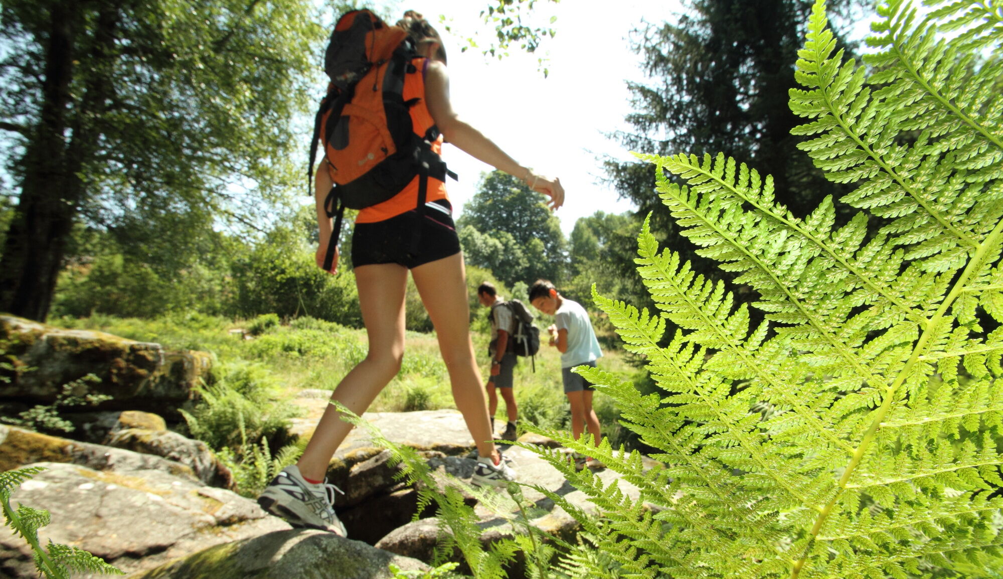
Go down the paved road to the right of the parking lot (route description sign at the start).
After 200m, second right turn: a cylindrical concrete tower? It is a balancing chimney designed to avoid water hammer during significant flow variations in the pressure pipe.
After 300m, leave the road at a sharp left turn, marked (Red marking).
The path descends steeply through the middle of the forest. After 500m of descent: crossing the pressure pipe.
The path continues descending. After 250m, at the fork, continue descending to the right (red marking).
At the next fork, again to the right.
(At the lowest point, there is the possibility to make a round trip to the fountain).
The path then climbs left.
The crossing of Bardot's Garden is free, there is no imposed path.
The exit is located at the highest point, to the right (East).
From the garden exit, the path climbs steeply between rock scree, covered with moss.
Be careful as the path can be slippery.
Halfway up the climb, a marked detour allows viewing the Maquisards' Cave. Warning dangerous section.
Make a round trip to the Maquisards' Cave to observe this place and its history (information panel), as well as a superb view of the Dordogne. However, access is discouraged and dangerous without suitable shoes: narrow passages, on rocks, overlooking a cliff.
Continue the climb which then becomes easier and wider.
After joining the wider path, follow it East (to the right) to reach the Devil's Step and the God's Armchair, just next to a sculpture shaped like a bird of prey.
The path continues to climb slightly, to join a forest road.
Just before the road, below the path, notice a chestnut dryer, with a very beautiful slate roof and a slatted floor for air circulation and chestnut drying. Continue to the left on the forest road which climbs towards the starting point. Halfway: access to the belvedere below, to the left.
From this belvedere, you can admire the Dordogne, held back by the Chastang dam.
Continue the forest road to the Roc du Busatier parking lot (start/end).
Da
Da
Clothing suitable for the season and conditions (cold, hot, humid…)
Hiking shoes adapted to the terrain (even for children!)
Hiking poles (useful for stability and to relieve joints)
Mobile phone and spare battery
Before setting off:
Check the general and local weather, ensuring no precipitation Inform yourself about the approach walk, itinerary height, duration, possible escape routes (IGN map, GPS, guidebook, etc.) Assess possible risks by consulting mountain professionals, refuges, lodgings Inform a close person of your objective and contact them in case of change: departure/return times, number of participants with their phone numbers, vehicle(s), parking Avoid going alone, use equipment suited to the activity, properly adjusted and in good condition, headlamp, complete first aid kit, survival blanket, etc.In case of problem
Alert: call 112 (European emergency number).
5 key points to communicate your alert:
Where? commune, place, route, altitude Who? identity, phone number What? type of accident, number of victims, severity, fall kinetics When? time of accident Weather? wind, visibilityCar access to Roc du Busatier parking, after the village of Nougein (commune of Marcillac-la-Croisille).
Parking near the starting point
Corrèze Tourism
45 Quai Aristide Briand,
19000 Tulle
Today owned by the Regional Conservatory of Natural Spaces of Limousin, it is restored and protected, its natural setting and flavors await you .....
Priljubljeni izleti v okolici
Bike and cheese circuit in Xaintrie blanche
srednjaKolesarjenje 57,6 kmLeisure cycling route: Château de Sédières
svetlobaKolesarjenje 14,8 kmL'école buissonnière
težkoPohodništvo 10,3 kmFrom the Soursacois plateau to the Luzège gorges
srednjaPohodništvo 14,8 kmEspagnac - Chastang Dam
težkoKolesarjenje 74,7 kmDie Dordogne von Dörfern zu Staudämmen - vom Vent Haut zum Peuch
težkoMountainbike 45,8 kmLa Dordogne de villages en barrages - du Peuch à Argentat
težkoMountainbike 44,0 kmLa Chapeloune
svetlobaPohodništvo 9,38 km- 5,0
Église Saint-Pierre - Longour - Chapelle Jeanne d'Arc - Argentat
srednjaPohodništvo 13,5 km Le Gibanel - Saint-Martial-Entraygues - Roc Castel
srednjaPohodništvo 9 km
Pohodništvo in sledenje


Ne zamudite ponudb in navdiha za naslednje počitnice
Vaš e-poštni naslov je bil dodan na poštni seznam.