


Jura Ridgeway: From Baden to the Geissfluegrat


Fotografije naših uporabnikov

 © Corinne KellenbergerUstvarjeno na 14.06.2025
 © Corinne KellenbergerUstvarjeno na 14.06.2025
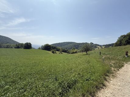 © Corinne KellenbergerUstvarjeno na 14.06.2025
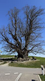
 © Peter BurkiUstvarjeno na 06.04.2025
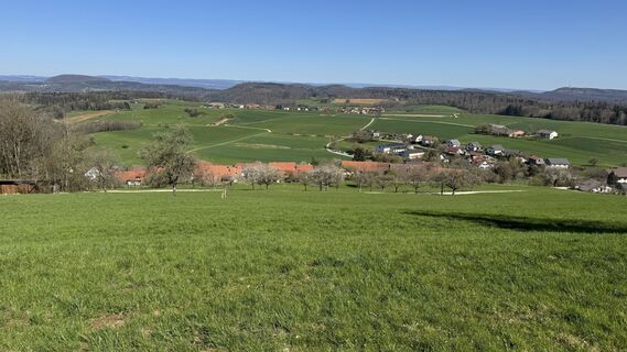 © Peter BurkiUstvarjeno na 06.04.2025
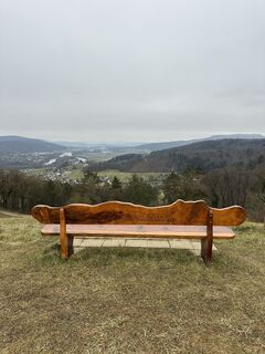
 © Yannick AlpinwandernUstvarjeno na 01.02.2025
 © Martin LageUstvarjeno na 08.06.2025
 © Katarzyna OlszewskaUstvarjeno na 14.09.2024
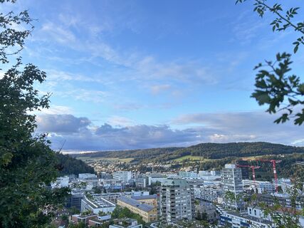 © Katarzyna OlszewskaUstvarjeno na 14.09.2024
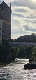
 © ZèéUstvarjeno na 31.05.2025
 © Martin WürschUstvarjeno na 14.05.2022
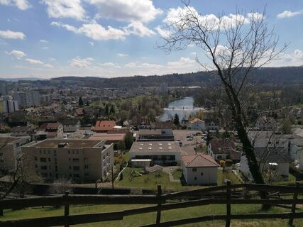
 © luyyyUstvarjeno na 03.01.2022


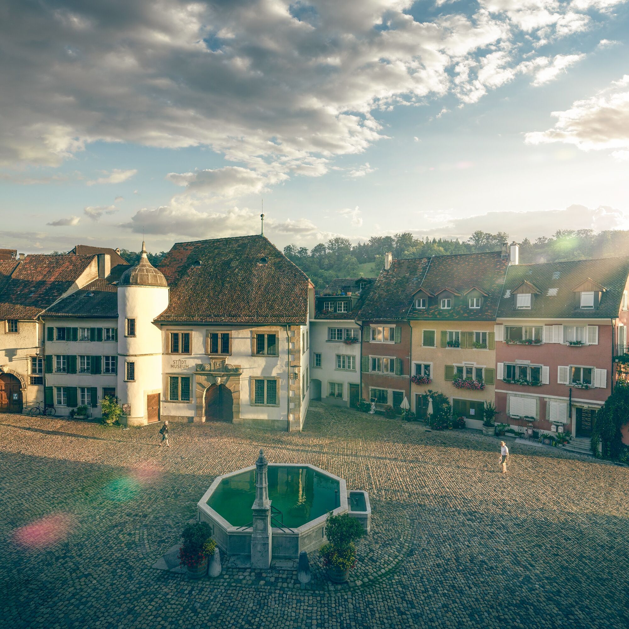
The route starts in the well-known spa town but nature is not far behind. Soon the path leads up to the Gebenstorf Horn, where there is a magnificent view of Switzerland's unique water castle. Here the...
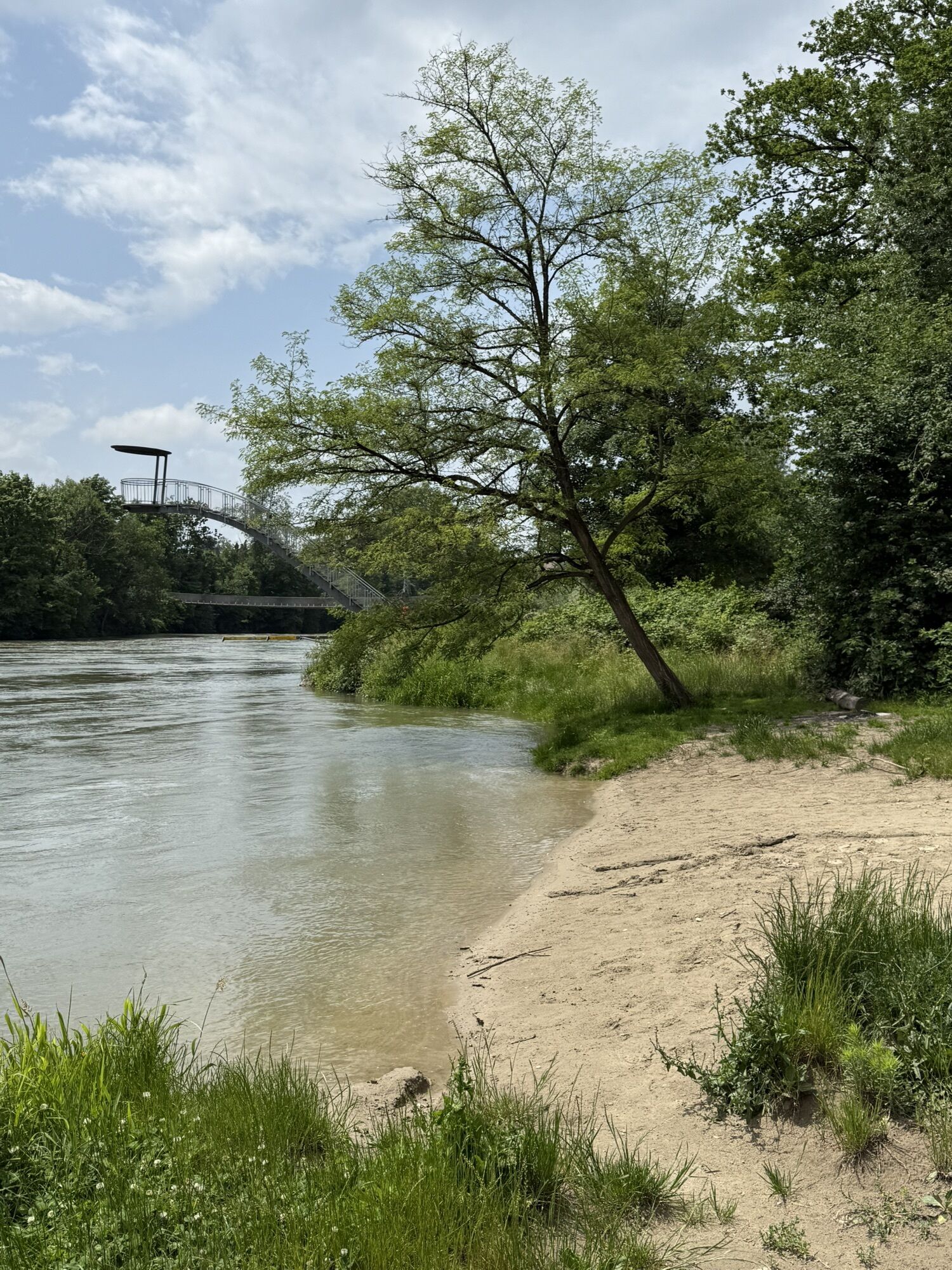
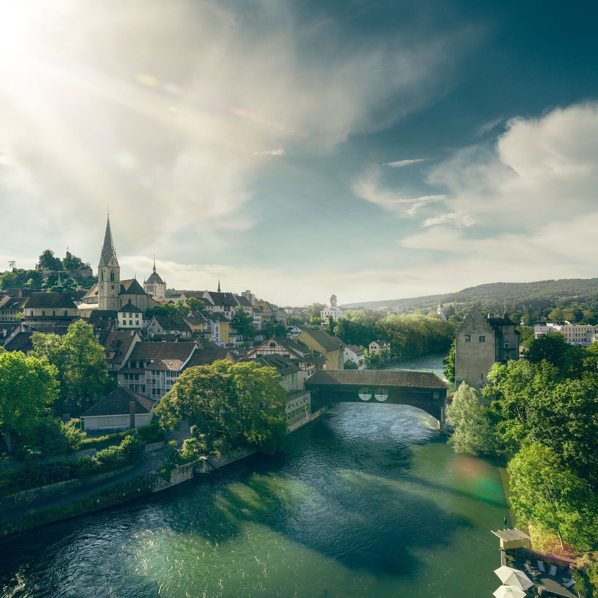
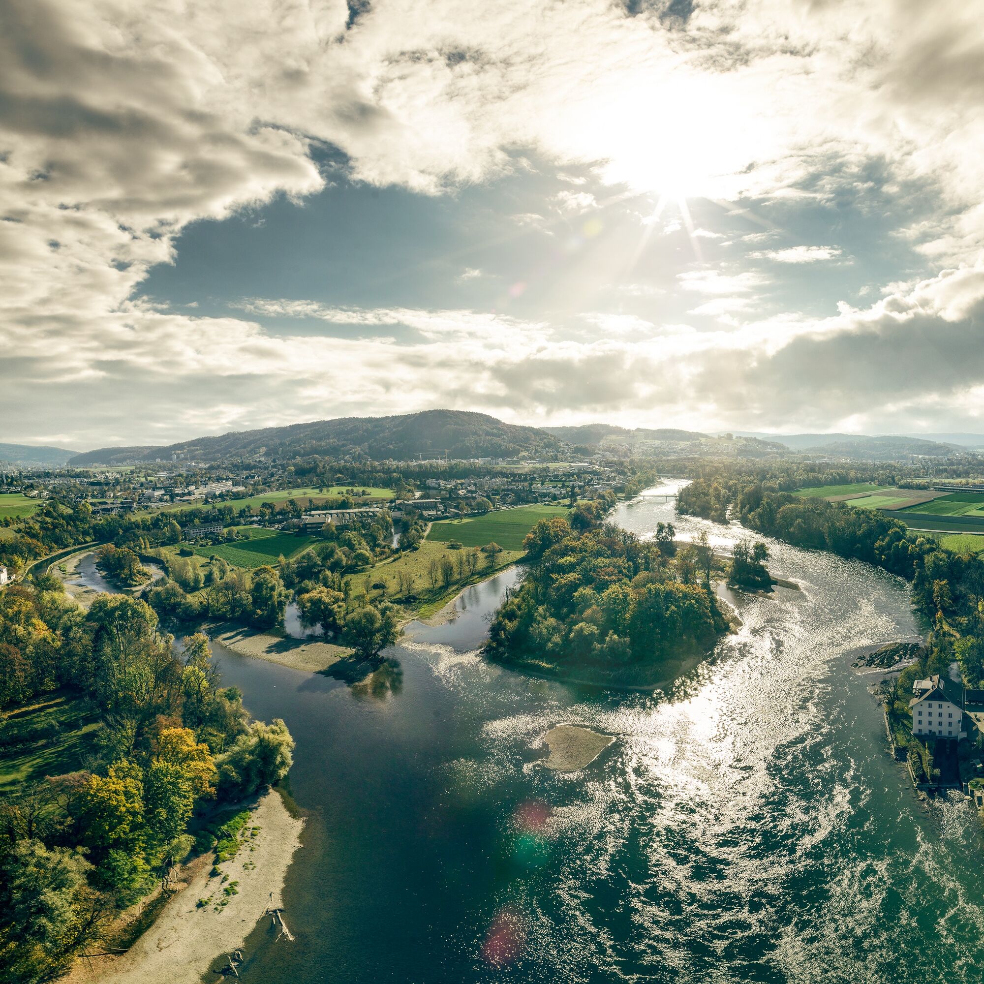
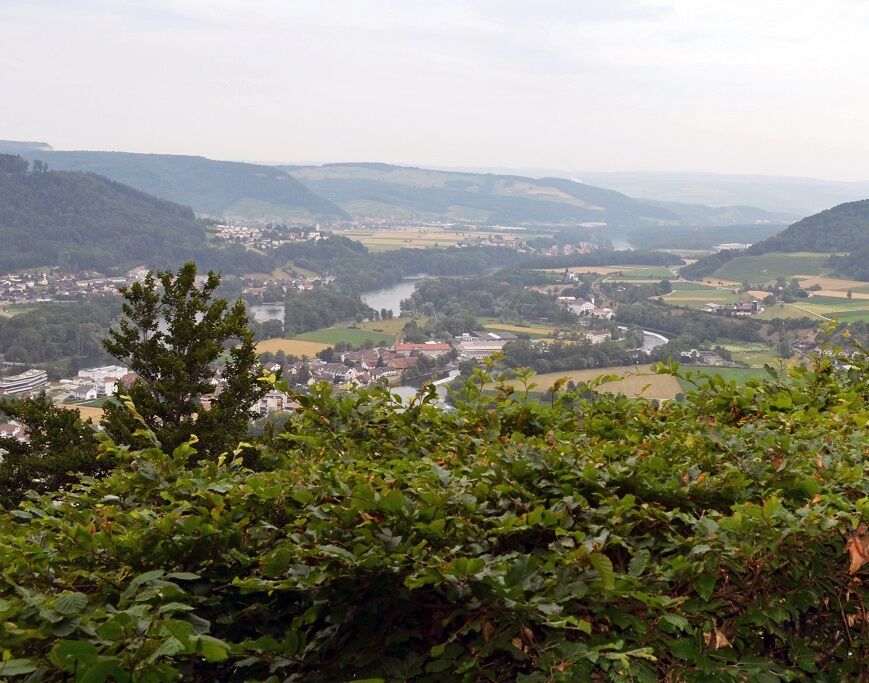
The route starts in the well-known spa town but nature is not far behind. Soon the path leads up to the Gebenstorf Horn, where there is a magnificent view of Switzerland's unique water castle. Here the mighty rivers Aare, Reuss, and Limmat converge.
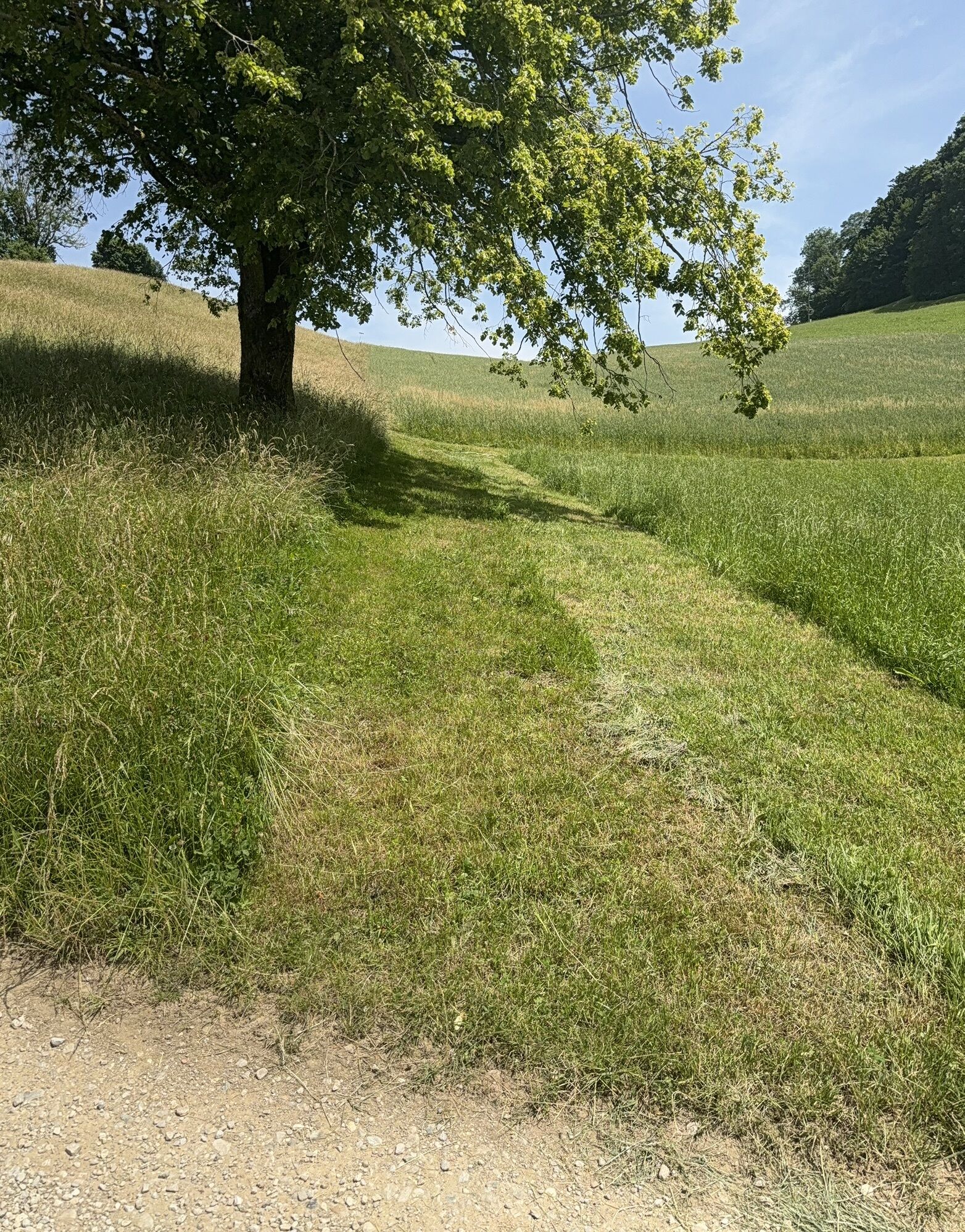
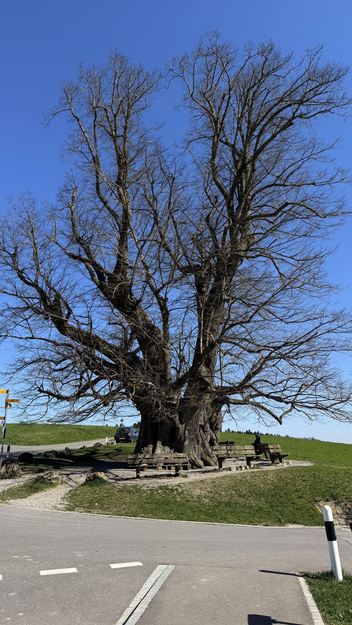
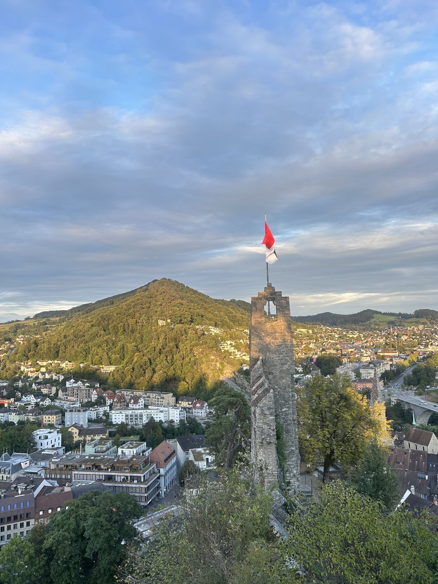
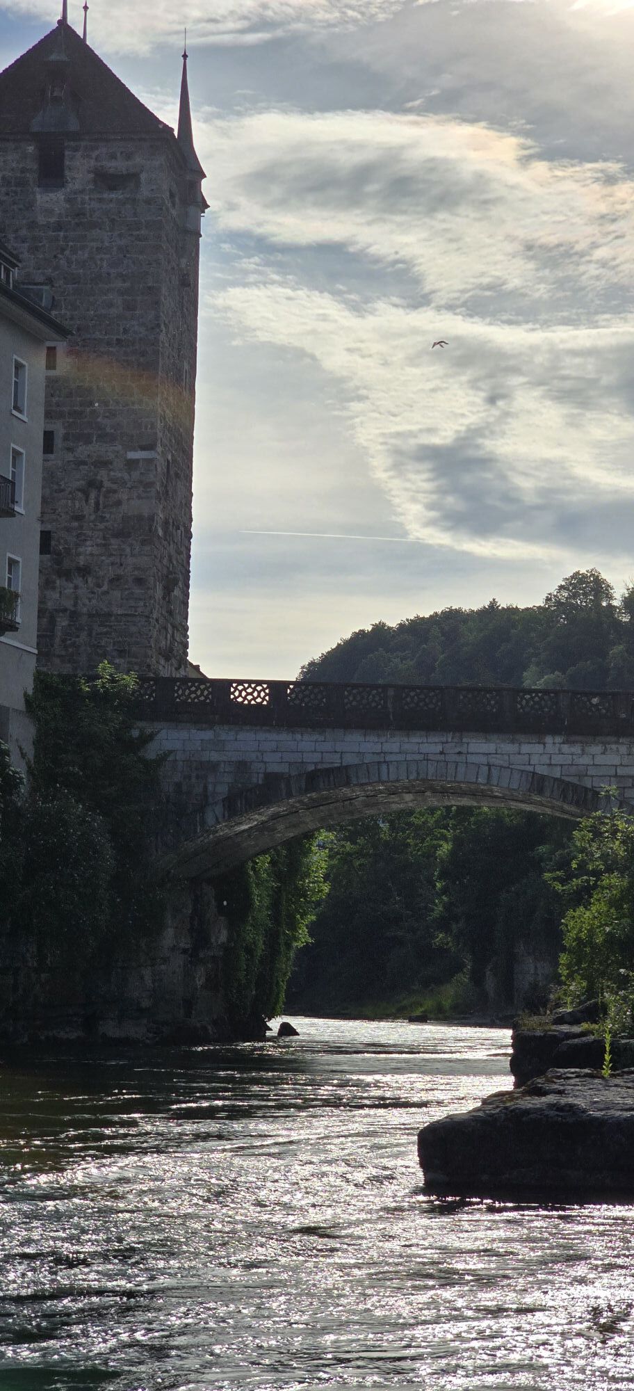
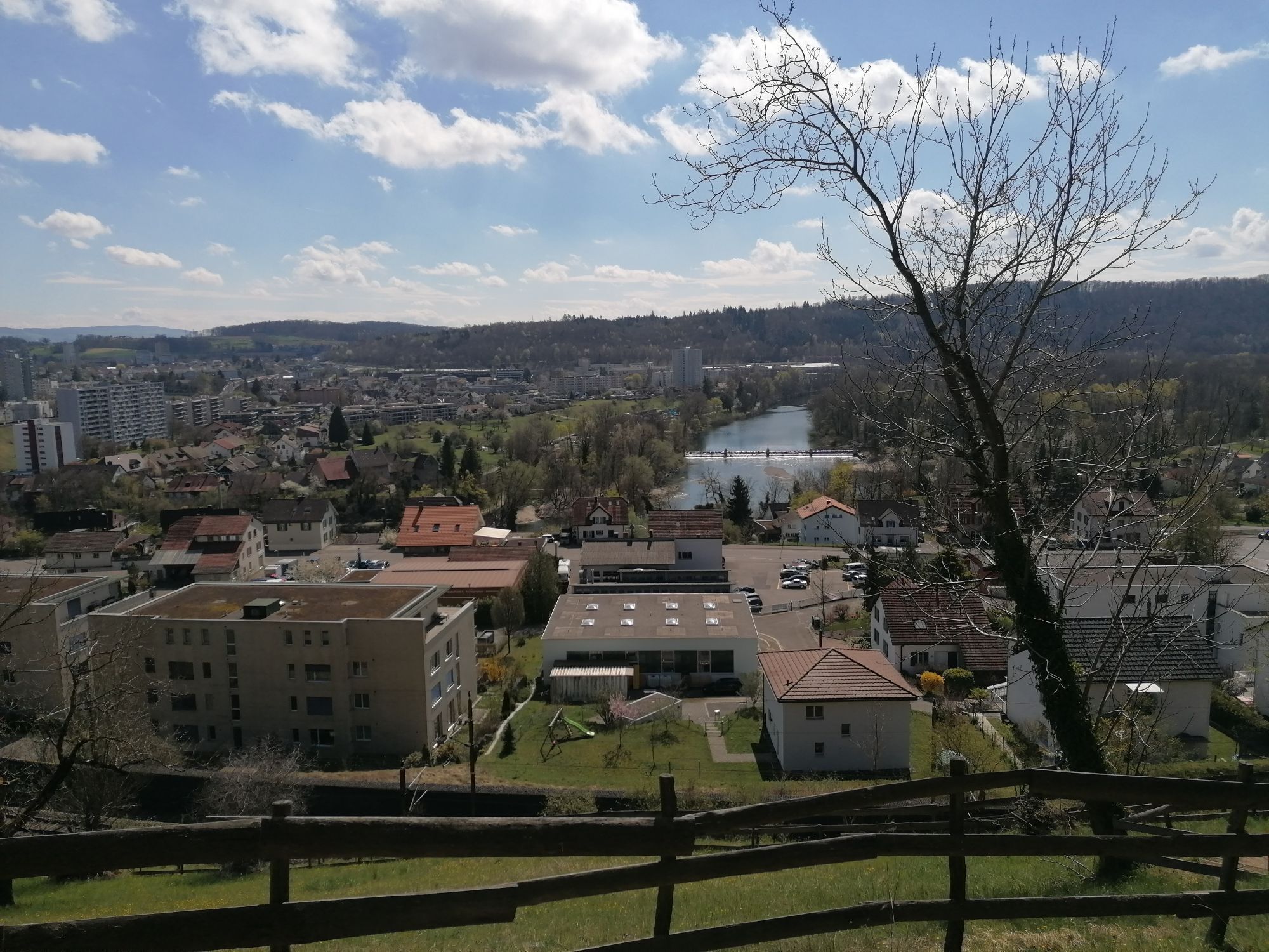
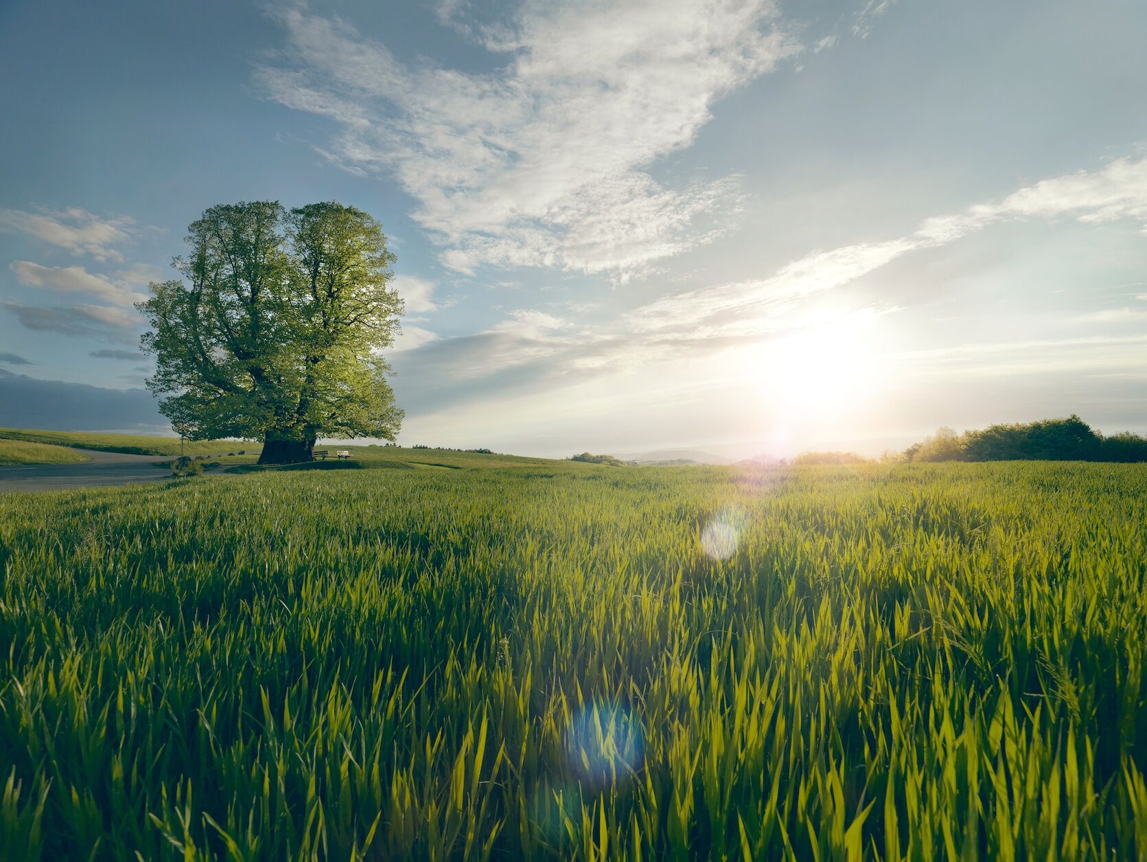
Following the Aare, the route passes the old town of Brugg before entering the Jurapark Aargau, a regional nature park. The path leads through shady forests to the distinctive lime tree of Linn, a legendary summer lime tree that with a height of 25 meters and a trunk circumference of 11 meters is considered the mightiest tree in the canton. The benches beneath the leafy canopy invite a relaxing break before the final section.
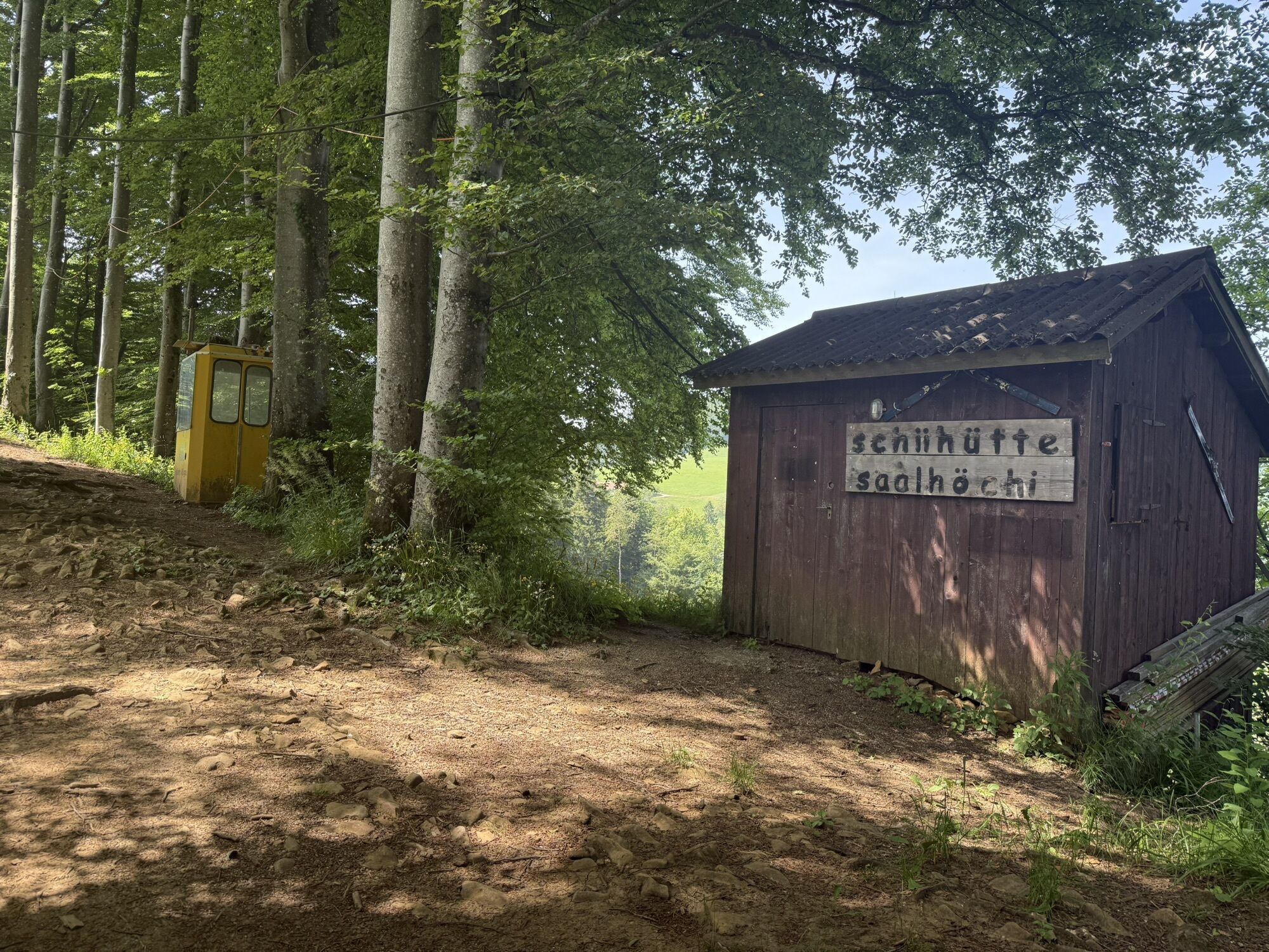
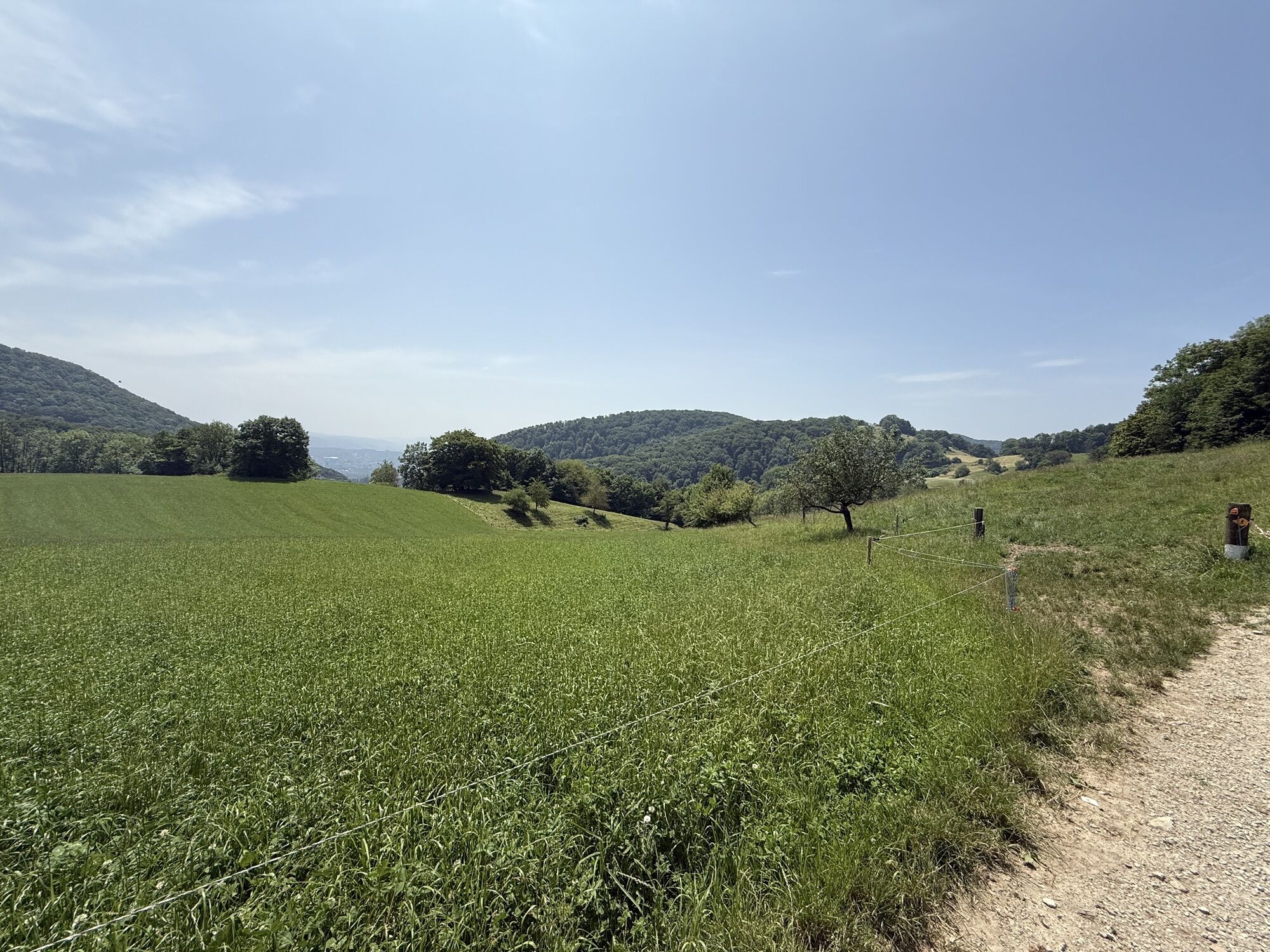
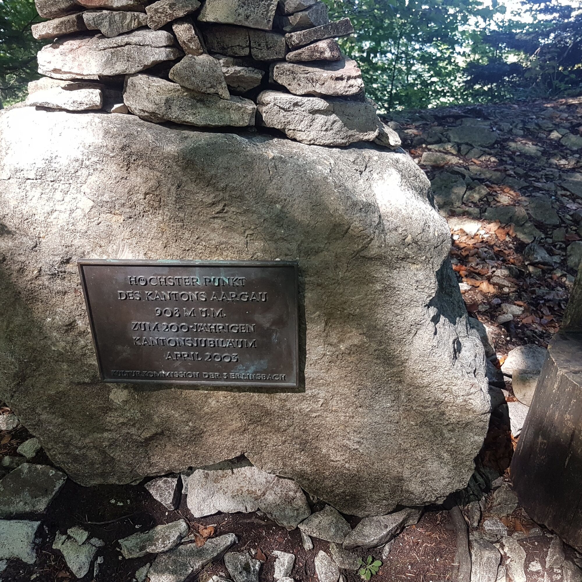
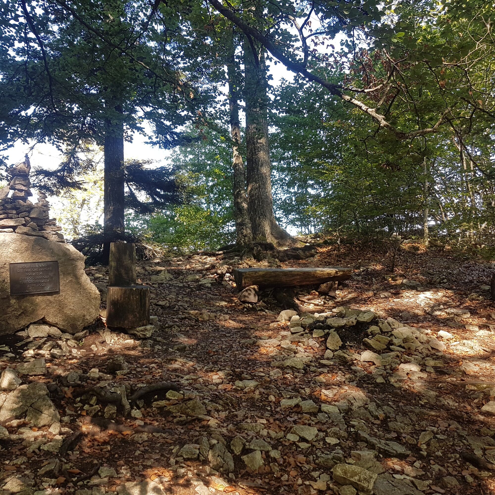
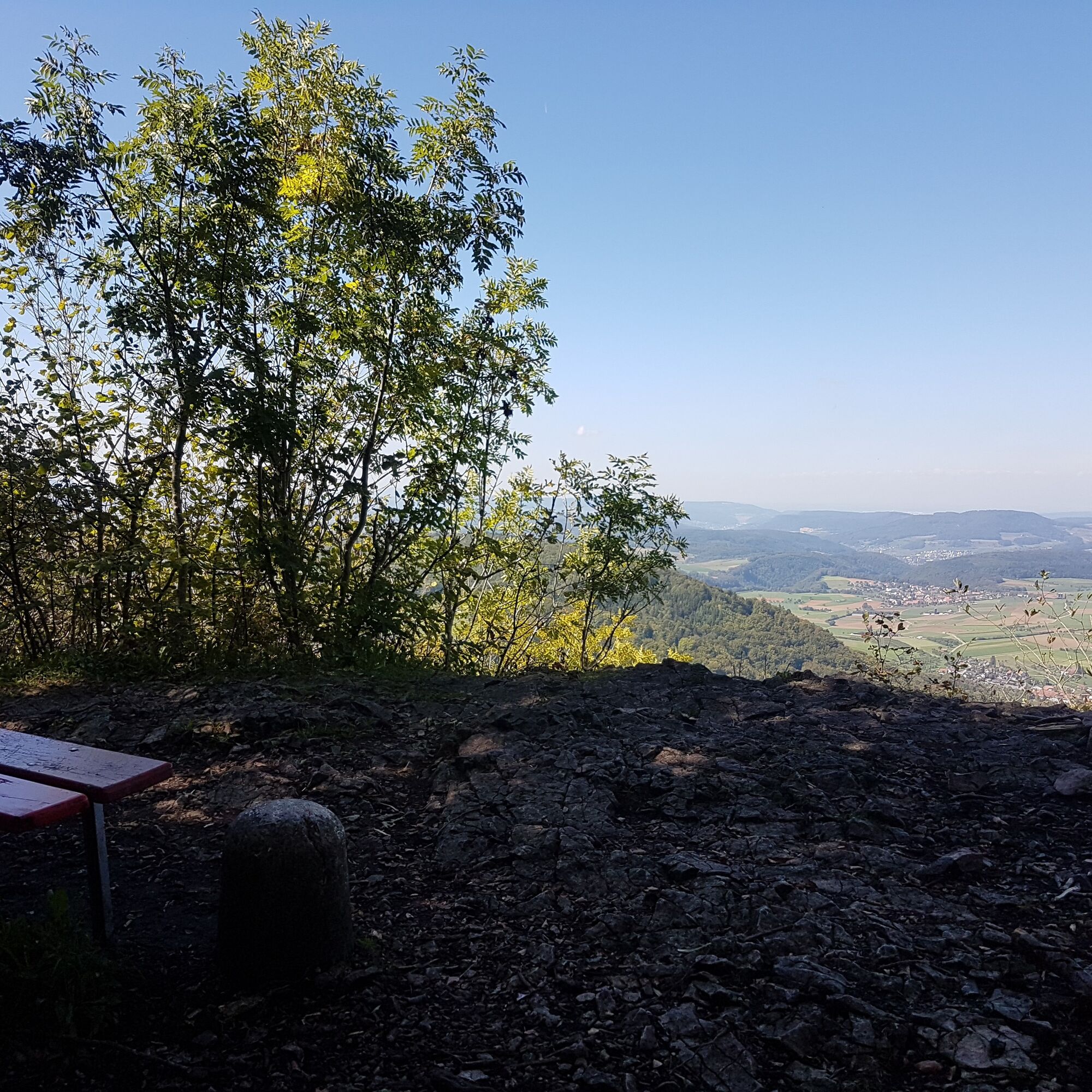
Now the name becomes reality: three passes must be crossed. From Staffelegg, the path leads through idyllic landscapes over the Benkerjoch to the Salhöhe. From there, it passes the Geissfluegrat, the highest point in Aargau, and continues to the Klinik Barmelweid.

Priljubljeni izleti v okolici
- 3.8
Chänzeli -Tour: Eine Panorama - Stadtwanderung
svetlobaPohodništvo7.81 km Gisliflue & Gratwanderung, Schweiz
srednjaPohodništvo8.59 kmLinner Wasserfall
svetlobaPohodništvo4.67 km- 4.8
Hüslischnegg am Asperstrihen
srednjaPohodništvo5.05 km - 2.0
Staffelegg - Ruine Schenkenberg - Thalheim
svetlobaPohodništvo6.96 km - 5.0
Staffelegg-Hauenstein, Schweiz
srednjaPohodništvo21.3 km Rundkurs mit Start & Ende in Endingen
svetlobaPohodništvo12.2 kmAargau Art Museum and Roggenhausen Wildlife Park
svetlobaPohodništvo6.25 kmReuss canoe
srednjaKajak / Kanu25.1 kmSchinznach Bad - Brugg, Schweiz
svetlobaPohodništvo10.5 km
Pohodništvo in sledenje


Ne zamudite ponudb in navdiha za naslednje počitnice
Vaš e-poštni naslov je bil dodan na poštni seznam.