







Livigno Giro delle Tee

Stopnja težavnosti: S1
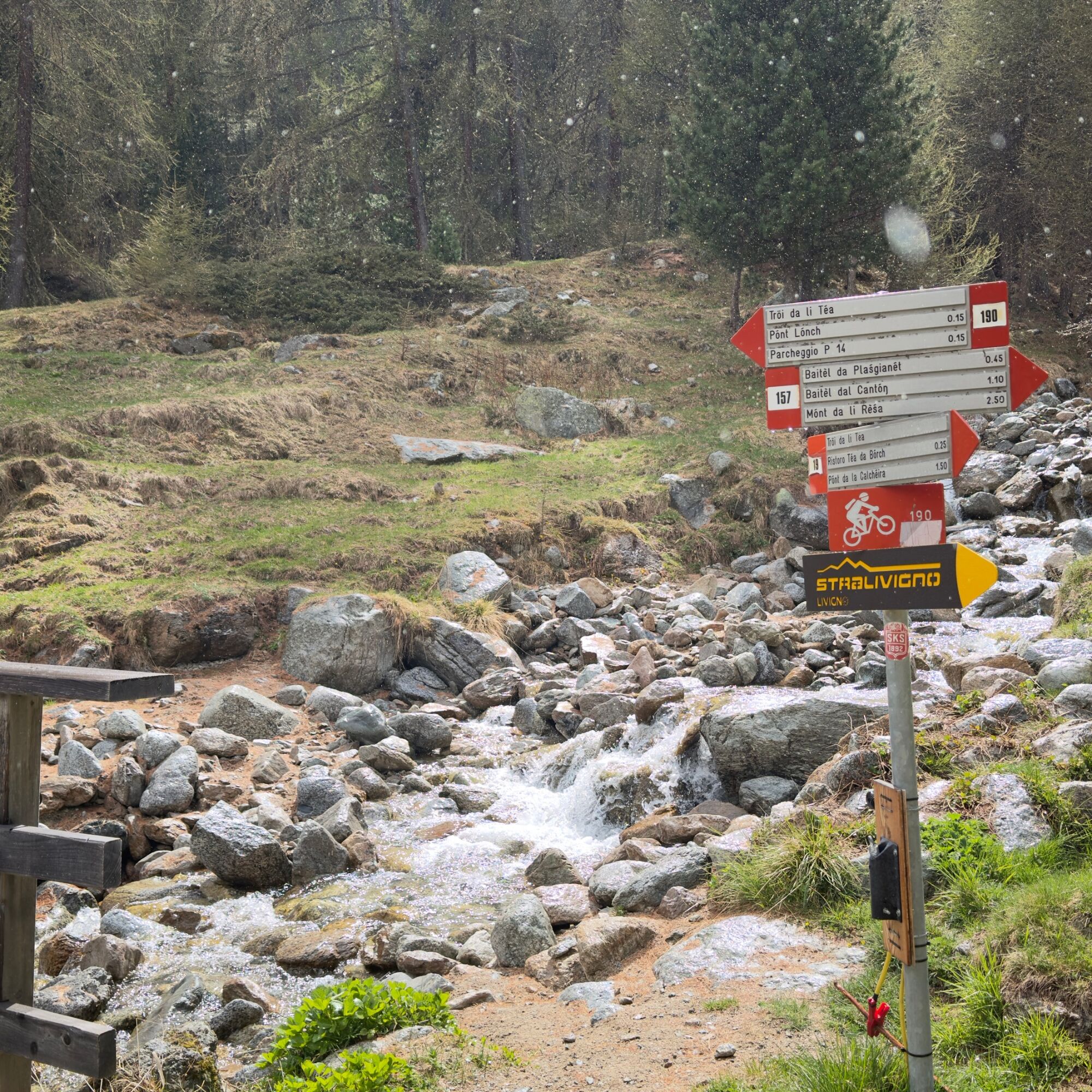
We begin with the only challenging climb on a dirt road, following trail sign no. 190 immediately to the left before the Pont de la Calcheira (1,846 m), which will accompany us for the entire first part...
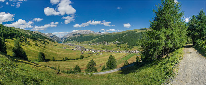
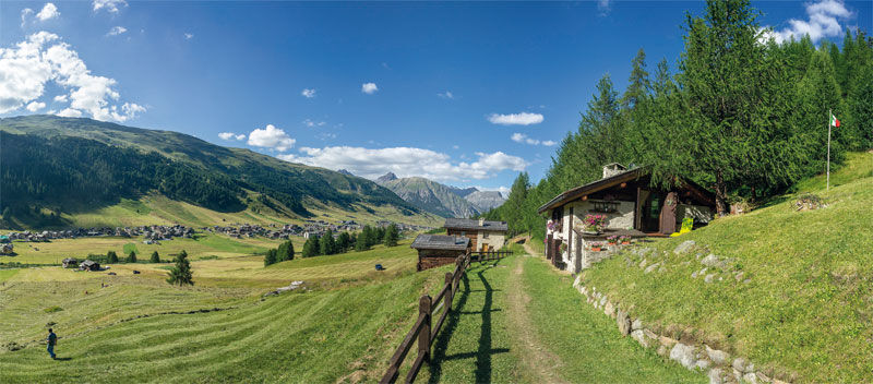
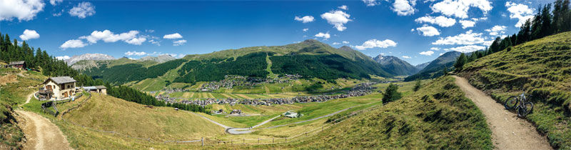
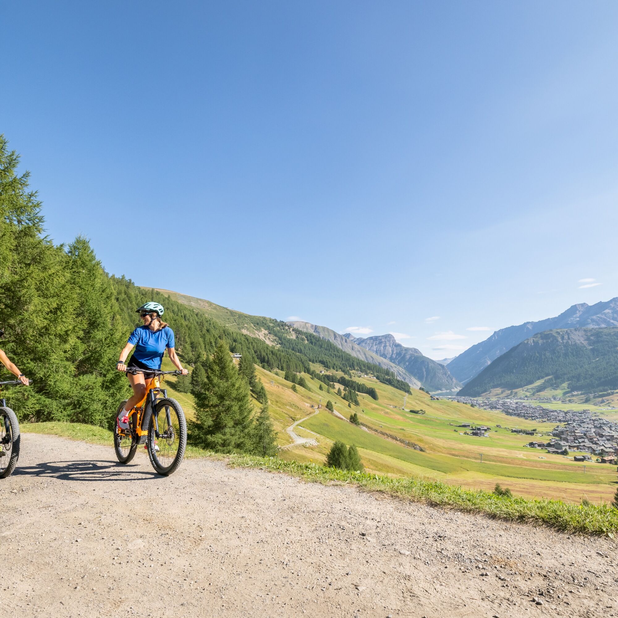
We begin with the only challenging climb on a dirt road, following trail sign no. 190 immediately to the left before the Pont de la Calcheira (1,846 m), which will accompany us for the entire first part of the route. Once we reach Tea da Taglieda (1,980 m), we encounter the first turnoff towards the long Blesaccia ridge (sign no. 162). The alternating dirt road and single trail, constantly up and down, leads to Tea dal Plan (2,000 m), then to Tea da Rin (2,005 m), and finally to Tea dal Pel (2,000 m). From these last two, the trails that climb to Plan da la Montanela (signs no. 161 and 160) depart. From Tea dal Pel, the very strenuous dirt road (sign no. 157) also passes, climbing up to Carosello 3000. We continue on route no. 190, we pass the Tea da Borch restaurant and descend on the fun path towards car park 14 of the Ponte Lungo (1875 m). A short stretch on an asphalt cycle path up to the Tresenda church, where we cross the Trafa (be careful) and continue uphill on asphalt in the Tresenda area. Once we reach the wooden bridge on the left, we glimpse a path just below the dirt road. We take the path and continue following the signpost no. 100 which takes us repeatedly through the woods. We pass in front of the beautiful Tea da li Tea (1920 m) and the Larix Park amusement park, we cross the hamlet of Teola and descend towards the lake after passing the Tee di Pemont, Desgiana and Brun. The cycle path that passes by the shores of the lake takes us back to the Pont de la Calcheira.


Pont de la Calcheira parking lot - Tea da Taglieda - Tea dal Plan - Tea da Rin - Tea dal Pel - Tea da Florin _ Tea da Borch _ Ponte Lungo - Tea da li Tea - Larix Park - Livigno Teola - Tea dal Brun - Cycle path - Lake - Pont de la Calcheira parking lot
Zaino con anti vento / anti pioggia
Indossare sempre il Casco, ginocchire consigliate.
Pont de la Calcheira parking lot
S1
Iniziate il percorso zona Calcheira e proseguire come indicato per completare l'anello sul versante Mottolino,prestare attenzine e rispettare i pedoni

Spletne kamere s turneje
Mottolino
Seggiovia Federia Monte
Monte Della Neve
Livigno - Mottolino
Mottolino - Bike Park
Livigno Ski School Area
Livigno
Livigno - Crap
Livigno
Livigno Teola
Livigno - Hotel Primula
Livigno Ortszentrum
Livigno
Livigno Centro | Livigno Town Center
Pista ciclabile
SnowFarm
Pista ciclabile
Pista ciclabile
SnowFarm
SnowFarm
Centro Sci Fondo | Cross Country Stadium
Centro Sci Fondo | Cross Country Stadium
Centro Sci Fondo | Cross Country Stadium
Centro Sci Fondo | Cross Country Stadium
Centro Sci Fondo | Cross Country Stadium
Centro Sci Fondo | Cross Country Stadium
Scuola Sci Centrale
Scuola Sci Centrale
Scuola Sci Centrale
Scuola Sci Centrale
Scuola Sci Centrale
Scuola Sci Centrale
Altavista
Altavista

Priljubljeni izleti v okolici
- 4.9
Circular hike Val Trupchun in the Swiss National Park
srednjaPohodništvo 13.8 km - 5.0
Mountain hike to Lagh da Saoseo
težkoPohodništvo 15.0 km - 4.8
Lagalb - Val Minor - Motta Bianca - Lagalb
srednjaPohodništvo 9.80 km - 5.0
Lej Muragl
srednjaPohodništvo 7.39 km - 5.0
Alp Languard - Paradis Hut - Pontresina
svetlobaPohodništvo 7.05 km - 4.7
Val Nera Waterfalls
svetlobaPohodništvo 5.70 km - 5.0
Crap da la Pare' with Joëlette
svetlobaPohodništvo 4.58 km - 4.5
Muottas Muragl - Fuorcla Muragl - Val Chamuera
srednjaPohodništvo 17.6 km - 4.2
Val Federia Livigno
srednjaE-kolesa 26.5 km - 5.0
Zuoz - Munt Seja - Lej da Prastinaun - Alp Arpiglia - Zuoz
srednjaPohodništvo 11.8 km
Pohodništvo in sledenje


Ne zamudite ponudb in navdiha za naslednje počitnice
Vaš e-poštni naslov je bil dodan na poštni seznam.





